Trails in New Zealand
519 hiking trails, each with its route, climb, walking time and grade.
All trails, page 10 of 11
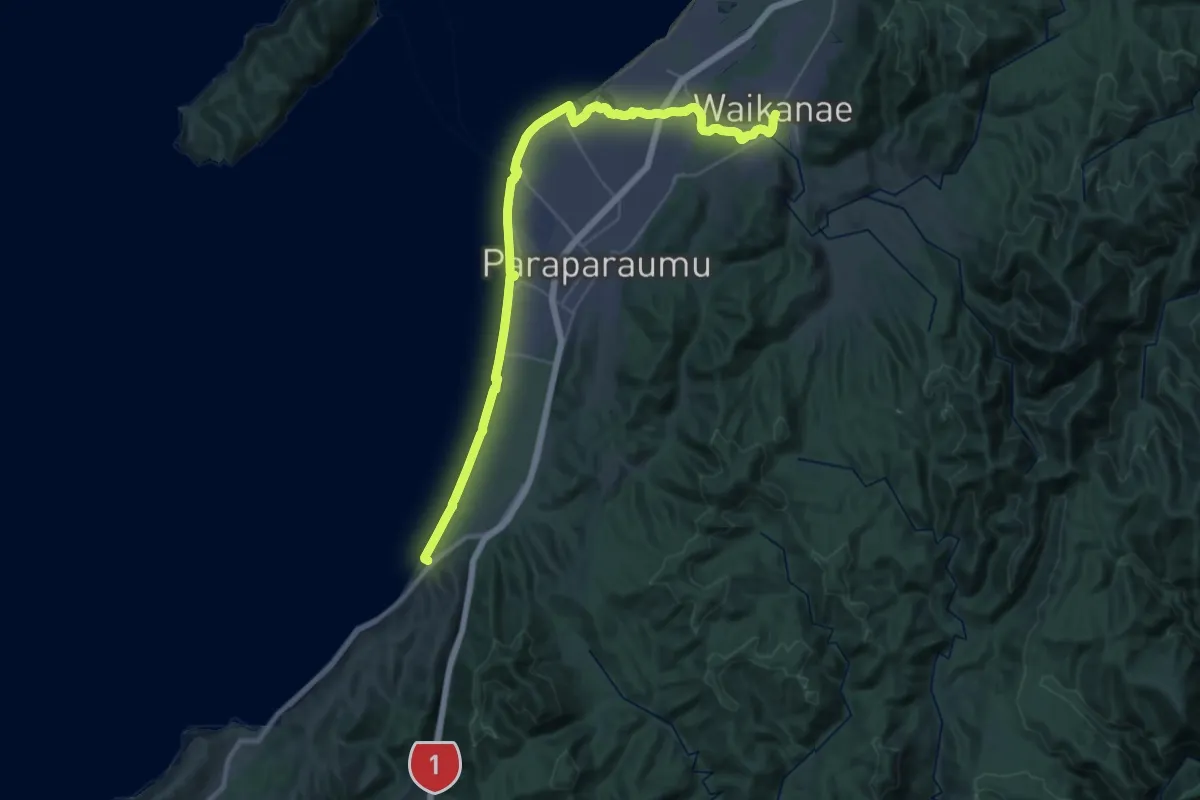
Demanding · Trail
Te Araroa - 05 Wellington - c Waikanae to Paekakariki
22.1 km · ↑ 75 m · 5 h 41 min
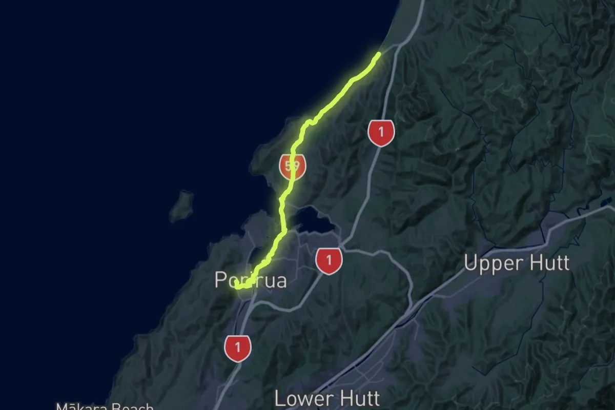
Demanding · Trail
Te Araroa - 05 Wellington - d Paekakariki to Elsdon Camp, Porirua
24.3 km · ↑ 307 m · 6 h 46 min
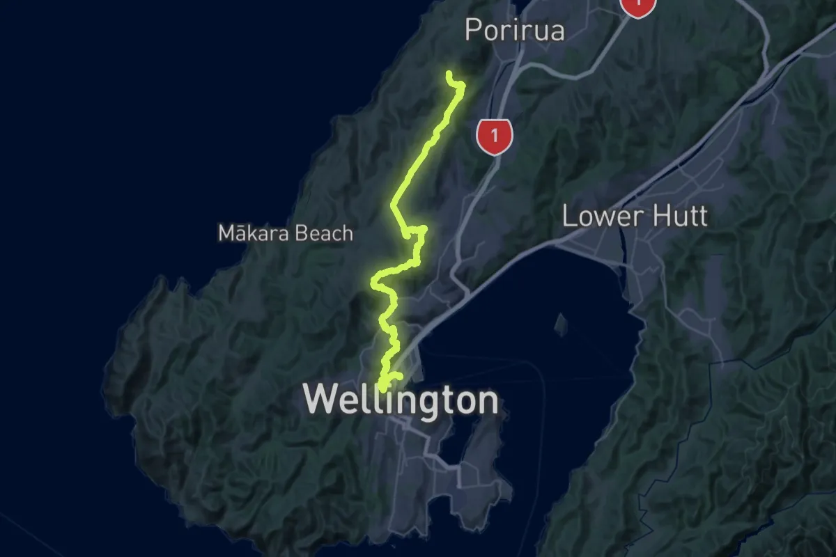
Demanding · Summit
Te Araroa - 05 Wellington - e Elsdon Camp, Porirua to Lambton Quay, Wellington
53.3 km · ↑ 2189 m · 17 h 19 min
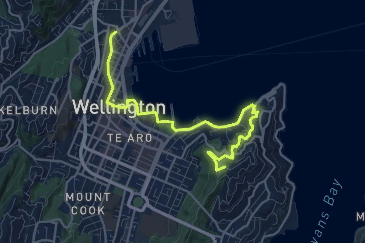
Medium · Summit
Te Araroa - 05 Wellington - f Lambton Quay, Wellington to Shorland Park, Island Bay
11.4 km · ↑ 384 m · 3 h 31 min
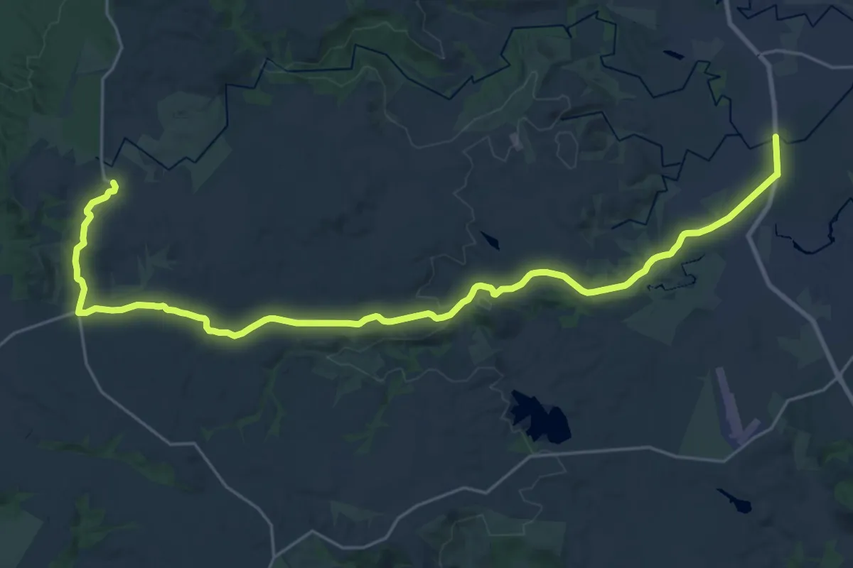
Medium · Trail
Te Araroa - alternative route
16.3 km · ↑ 280 m · 4 h 33 min
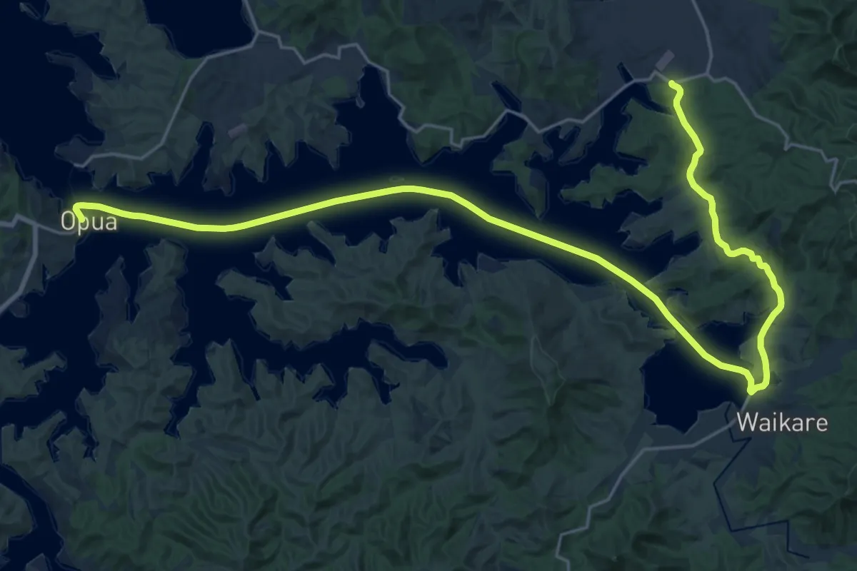
Medium · Trail
Te Araroa - alternative route
17.3 km · ↑ 183 m · 4 h 42 min
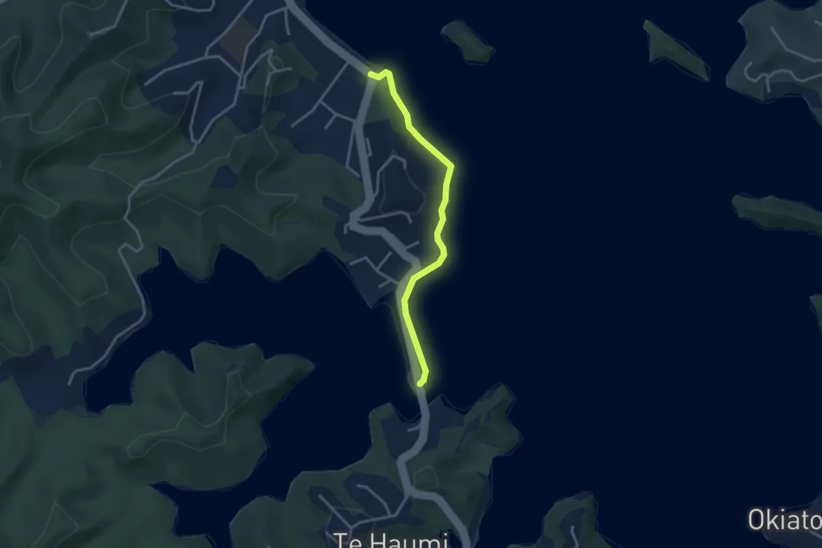
Easy · Trail
Te Araroa - alternative route
3.4 km · ↑ 68 m · 56 min
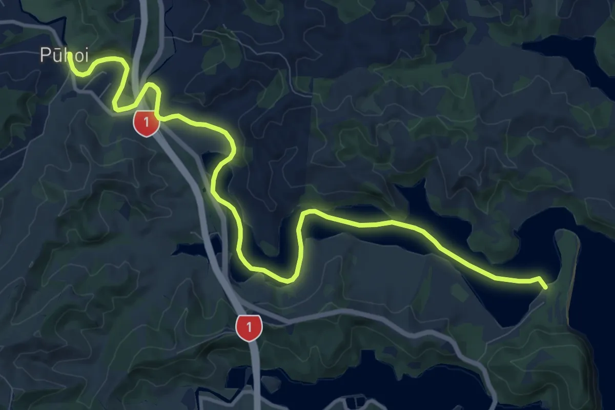
Medium · Trail
Te Araroa alternative route
15.2 km · ↑ 275 m · 4 h 11 min
Easy · Trail
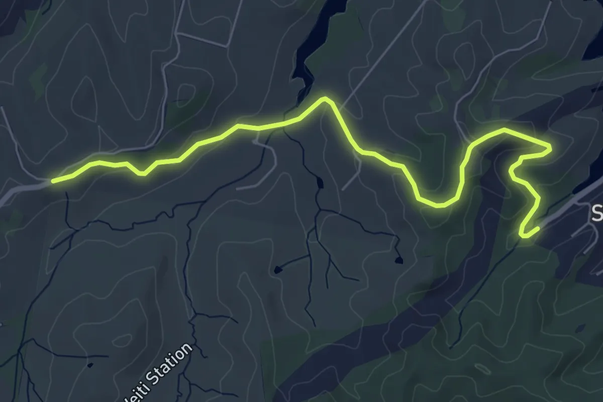
Te Araroa alternative route
7.8 km · ↑ 209 m · 2 h 18 min
Demanding · Trail
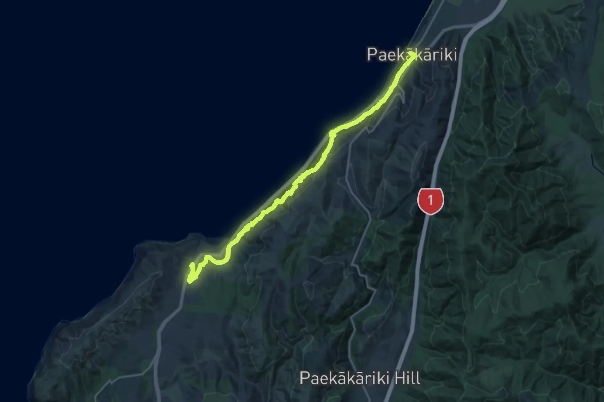
Te Araroa alternative route
20.4 km · ↑ 965 m · 6 h 54 min
Medium · Trail
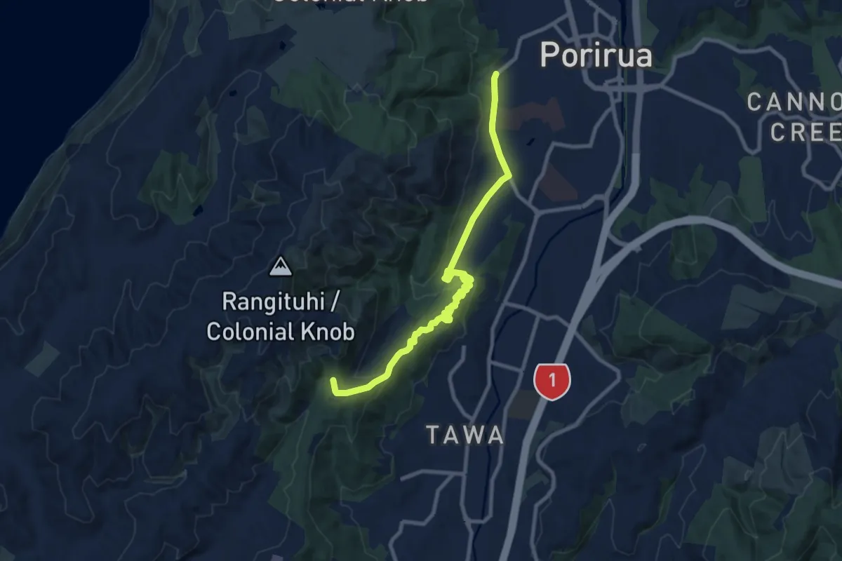
Te Araroa - extreme weather alternative from Camp Elsdon, Porirua
10.4 km · ↑ 251 m · 3 h
Easy · Trail
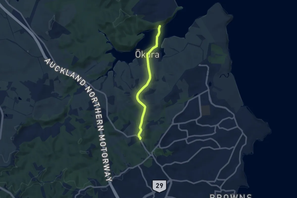
Te Araroa - NI Low tide
7.8 km · ↑ 123 m · 2 h 6 min
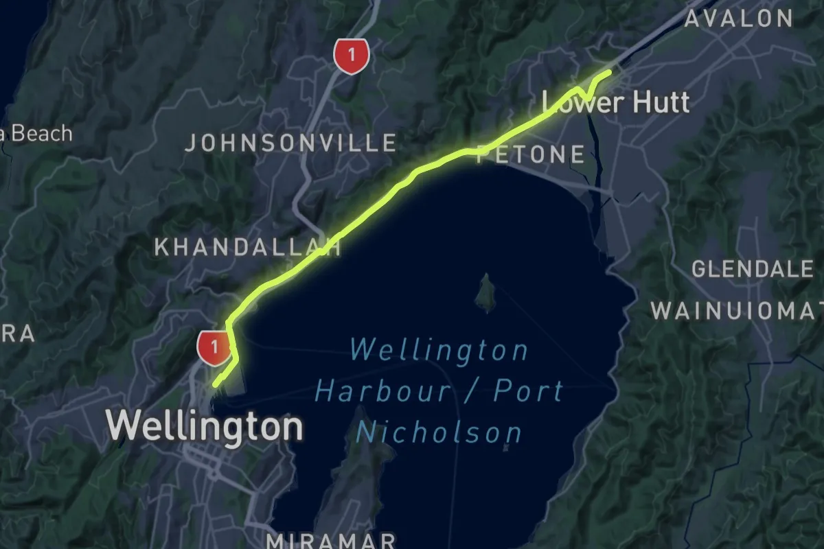
Demanding · Trail
Te Ara Tupua
29.0 km · ↑ 118 m · 7 h 6 min
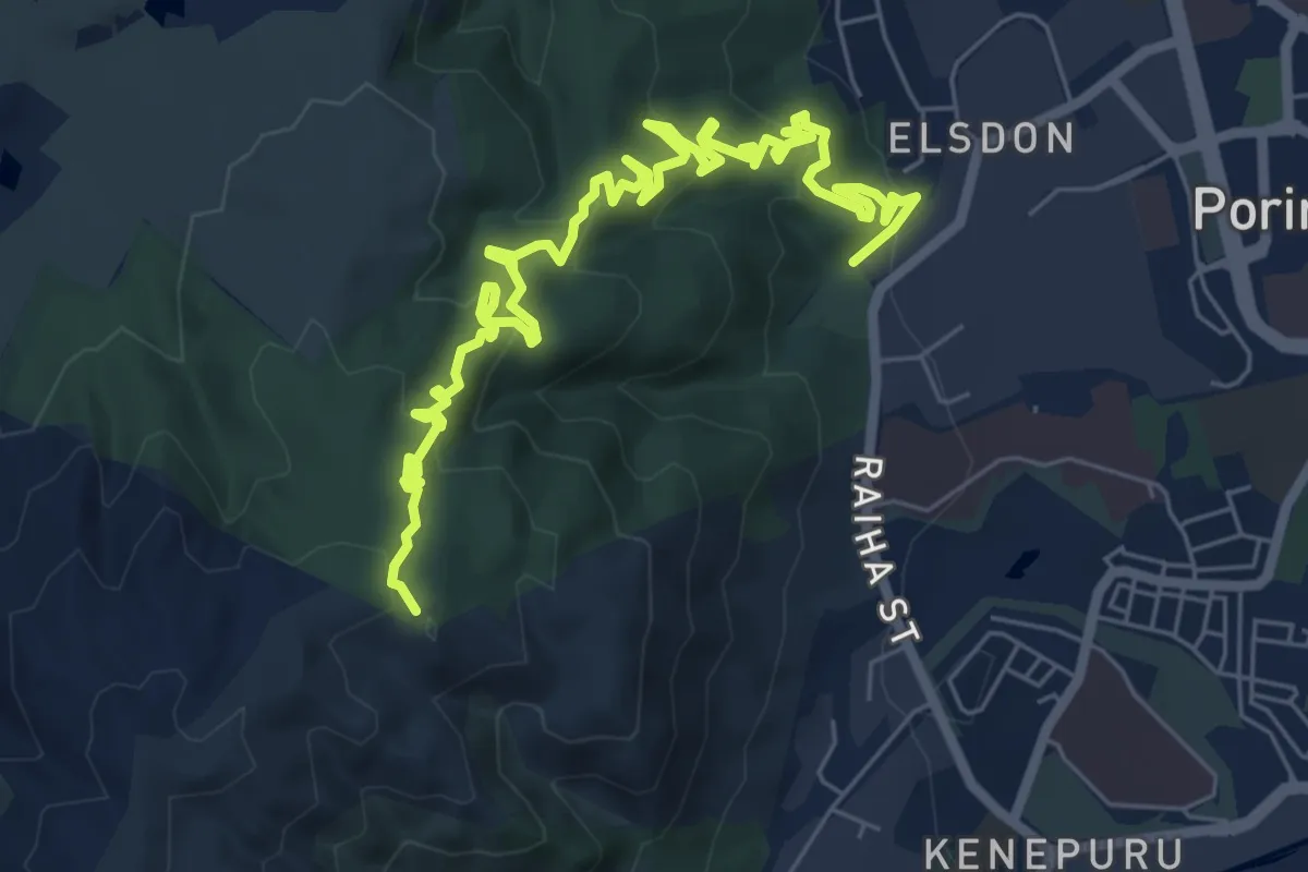
Medium · Trail
Te Ara Utiwai
9.9 km · ↑ 444 m · 3 h 19 min
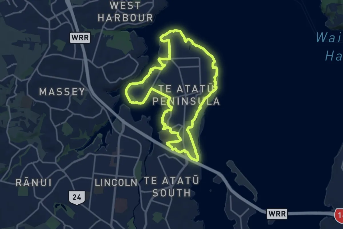
Medium · Trail
Te Atatū Walkway
14.1 km · ↑ 142 m · 3 h 50 min
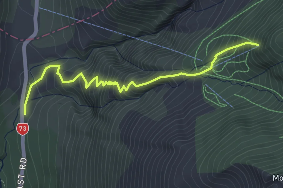
Medium · Trail
Temple Basin
5.5 km · ↑ 651 m · 2 h 42 min
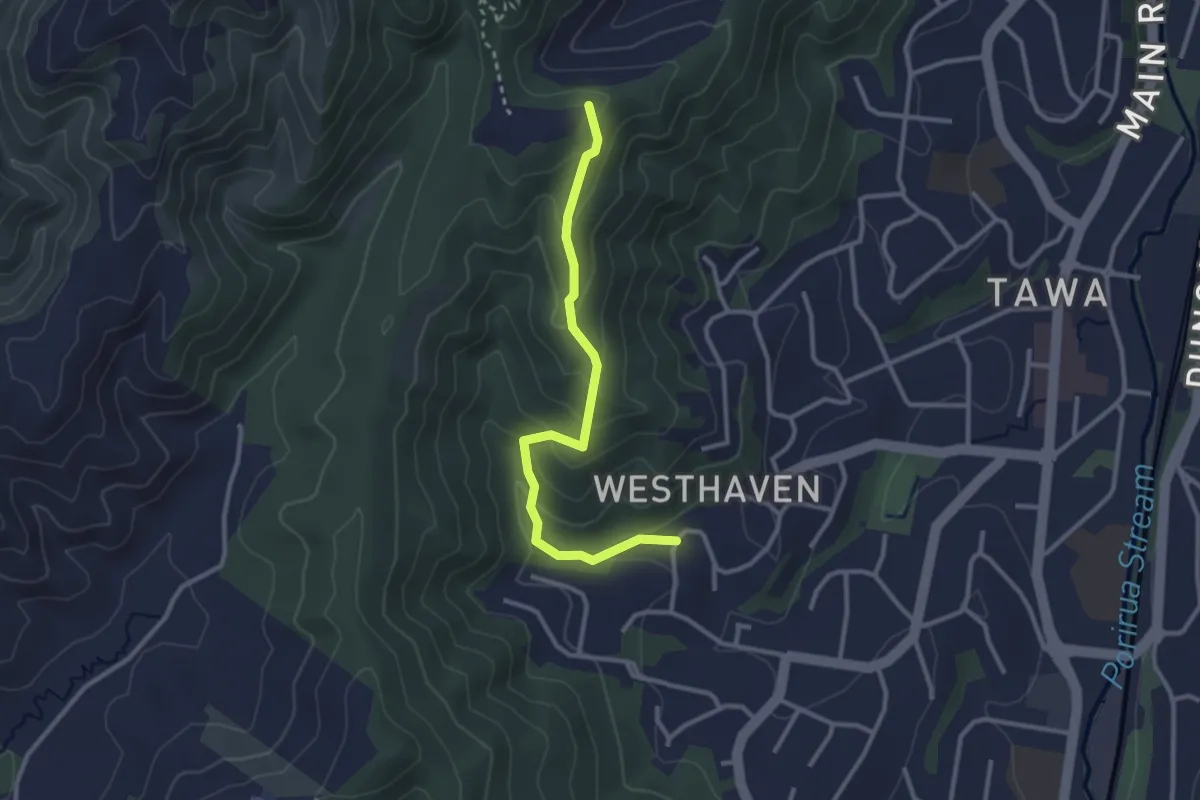
Easy · Trail
Te Ngahere-O-Tawa Track
3.1 km · ↑ 169 m · 1 h 6 min
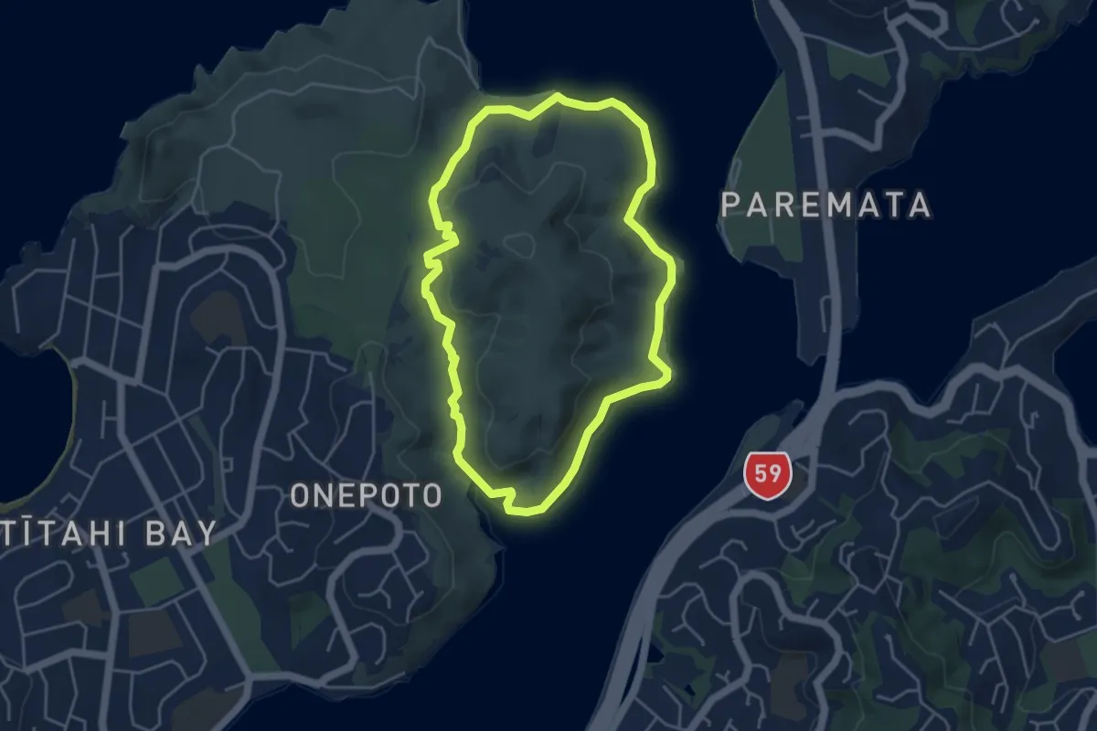
Easy · Trail
Te Onepoto Loop Track
4.6 km · ↑ 63 m · 1 h 17 min
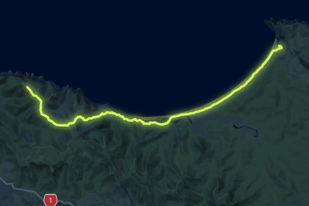
Demanding · Summit
Te Paki Coastal Track
29.5 km · ↑ 639 m · 8 h 21 min
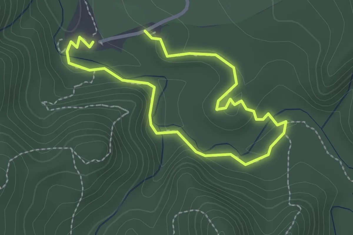
Easy · Trail
Te Piringā Walk
3.9 km · ↑ 100 m · 1 h 8 min
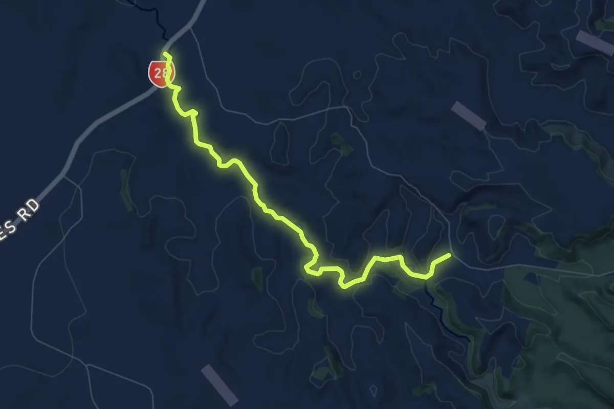
Medium · Trail
Te Waihou Walkway
9.2 km · ↑ 70 m · 2 h 20 min
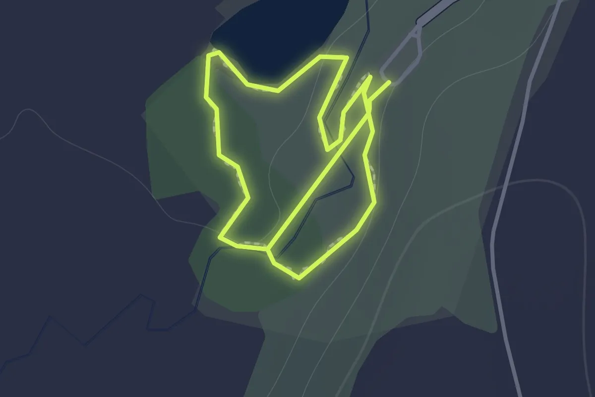
Easy · Trail
Te Waikoropupū Springs Walk
1.2 km · ↑ 9 m · 19 min
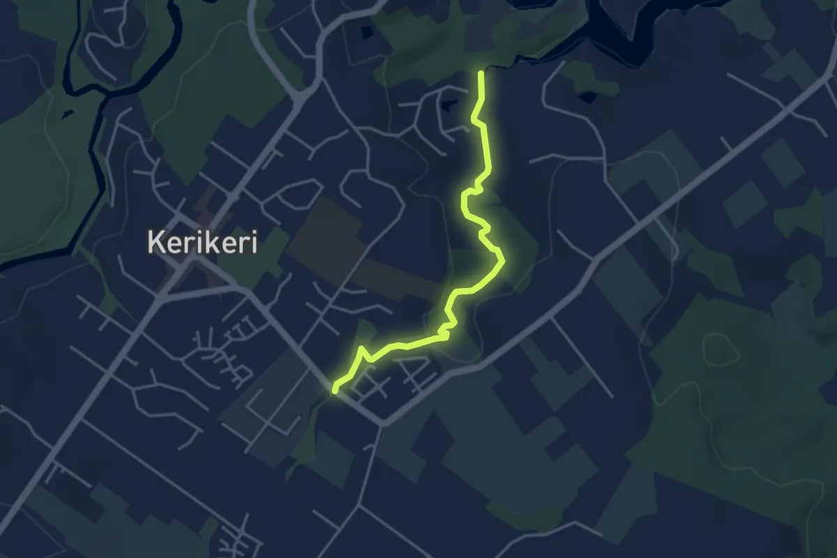
Easy · Trail
Te Wairere Waterfall Walking Track
4.2 km · ↑ 44 m · 1 h 5 min
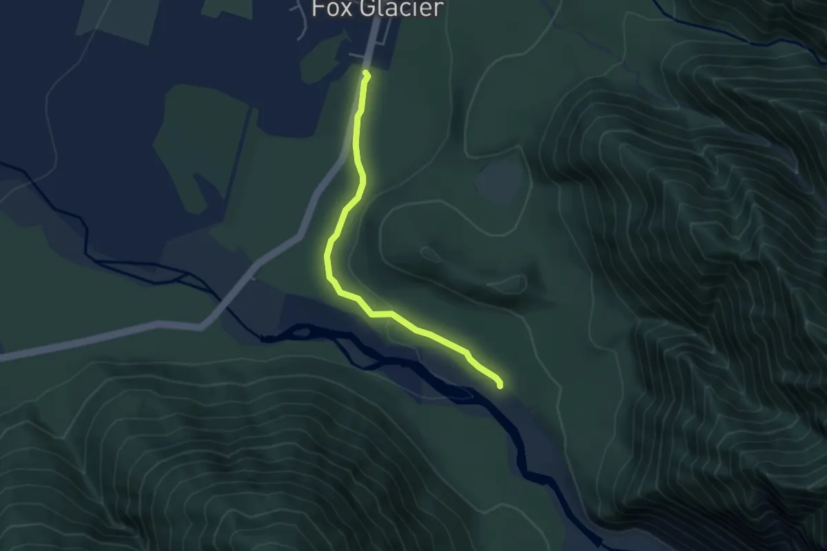
Easy · Trail
Te Weheka Walkway
4.3 km · ↑ 45 m · 1 h 7 min
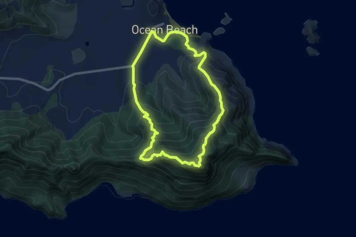
Medium · Summit
Te Whara Loop
6.0 km · ↑ 493 m · 2 h 34 min
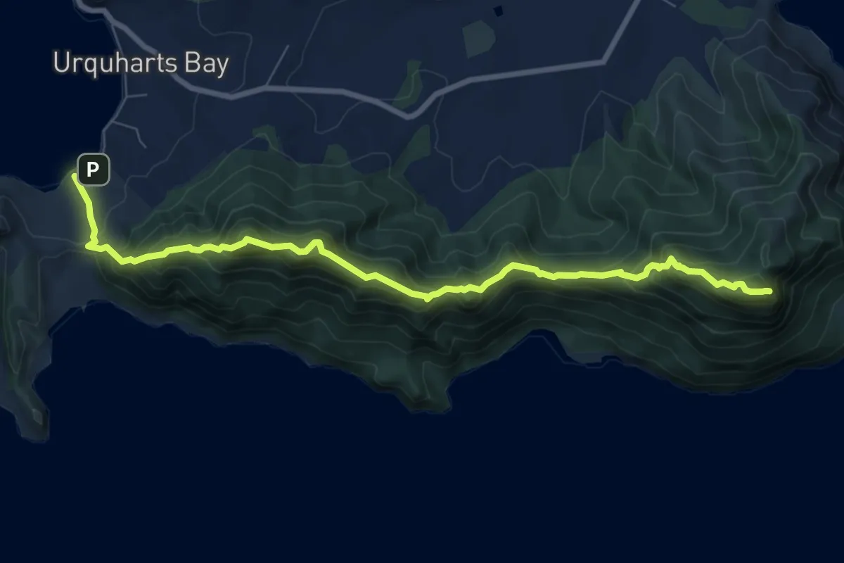
Demanding · Summit
Te Whara Track
10.2 km · ↑ 938 m · 4 h 26 min
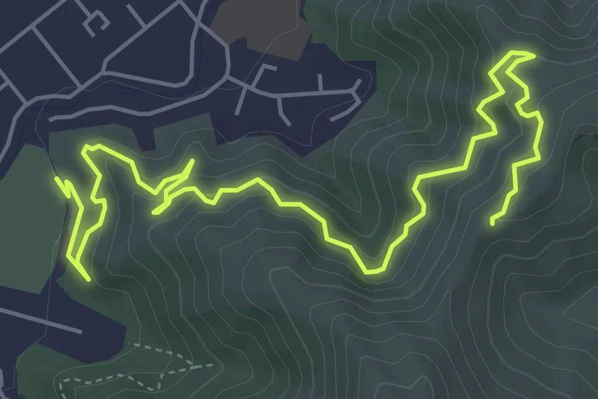
Medium · Trail
Te Whiti Riser
7.0 km · ↑ 439 m · 2 h 36 min
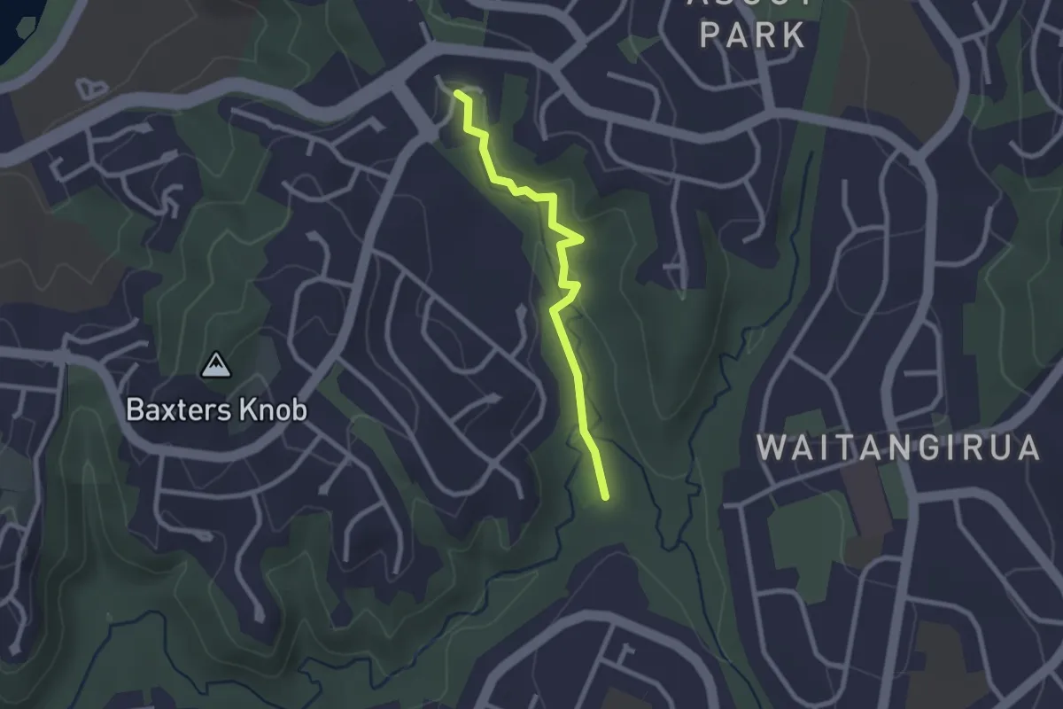
Easy · Trail
The Dales (shared) Pathway
2.4 km · ↑ 40 m · 39 min
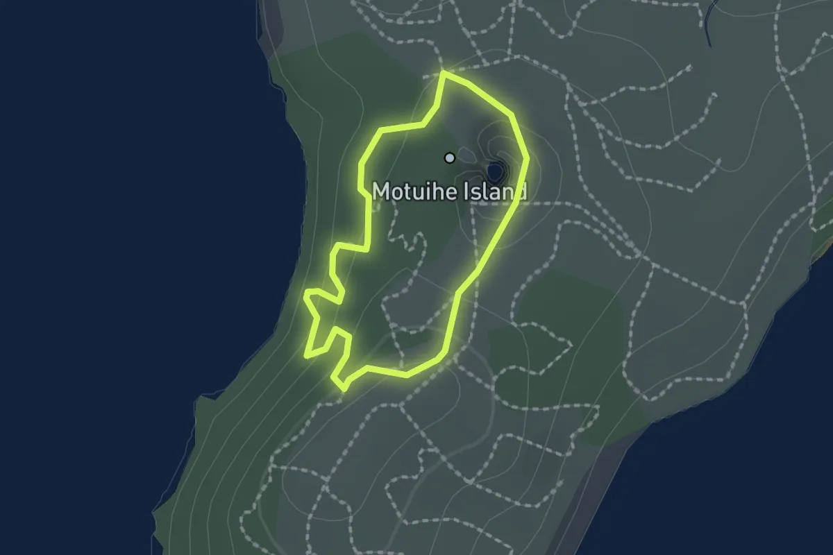
Easy · Trail
Tieke Bush Track
1.7 km · ↑ 70 m · 35 min
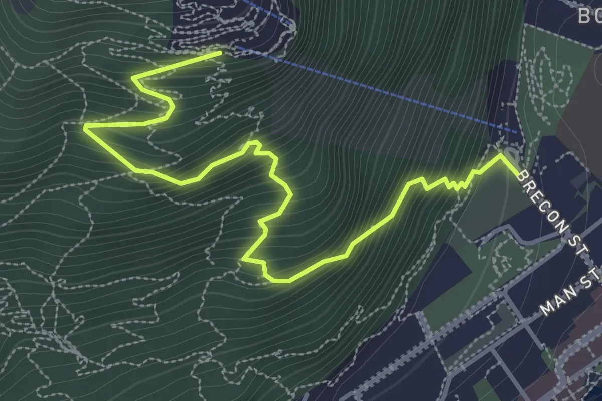
Medium · Trail
Tiki Track
4.2 km · ↑ 443 m · 1 h 57 min
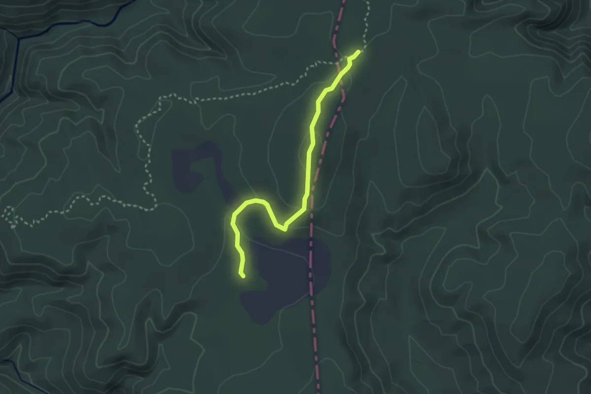
Easy · Cabin
Timber Trail - access to Bog Inn Hut
3.3 km · ↑ 103 m · 1 h
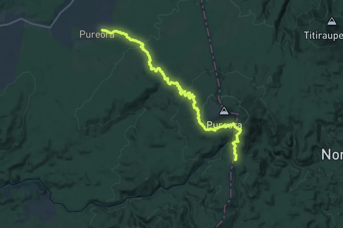
Medium · Trail
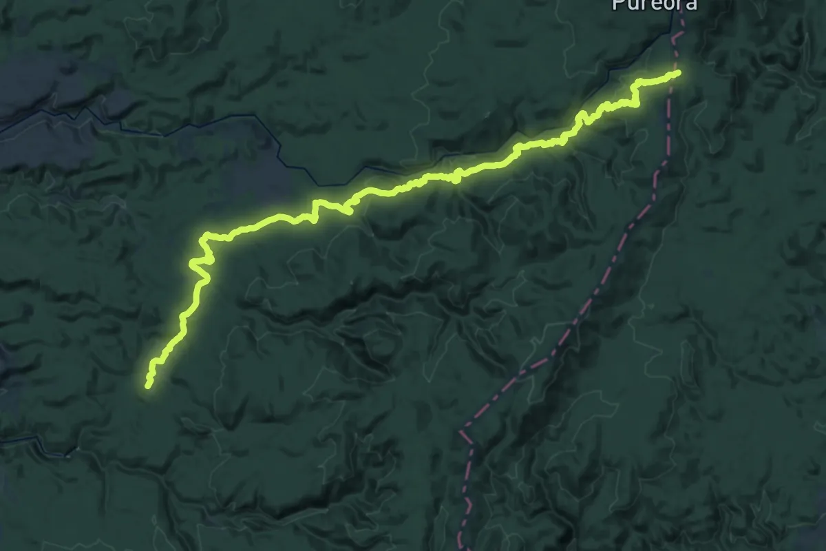
Timber Trail - Barryville Road to Bog Inn turnoff
16.2 km · ↑ 478 m · 4 h 55 min
Demanding · Trail
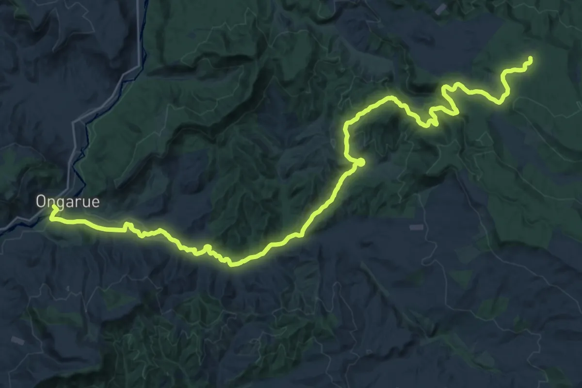
Timber Trail - Bog Inn turnoff to Piropiro
21.2 km · ↑ 327 m · 6 h 14 min
Demanding · Trail
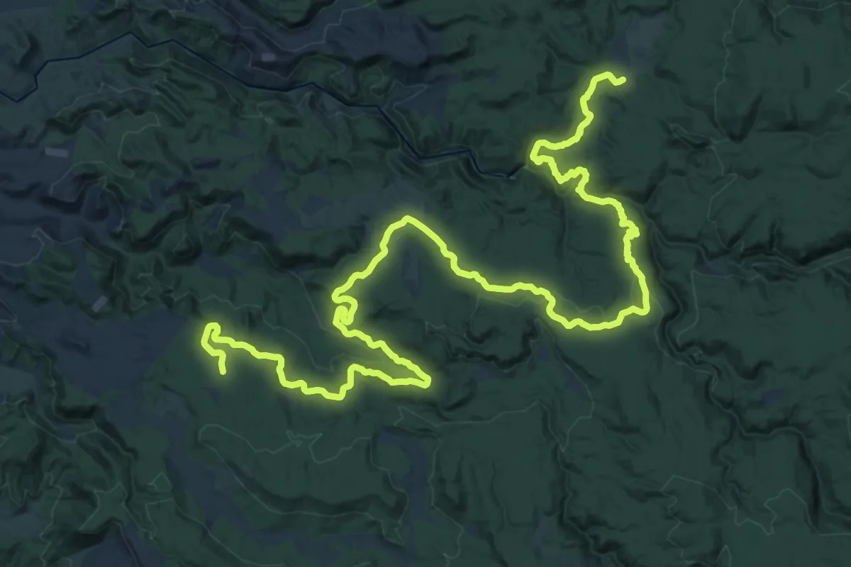
Timber Trail - No 10 camp to Ongarue Village
19.1 km · ↑ 118 m · 5 h 11 min
Demanding · Trail
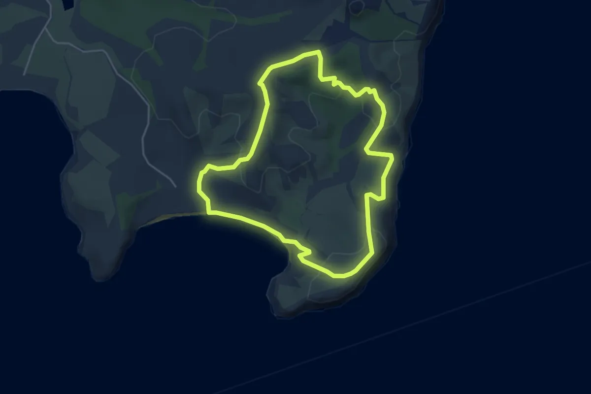
Timber Trail - Piropiro to No 10 Camp
24.7 km · ↑ 567 m · 7 h 22 min
Easy · Trail
Tiritiri Trail
4.7 km · ↑ 166 m · 1 h 33 min
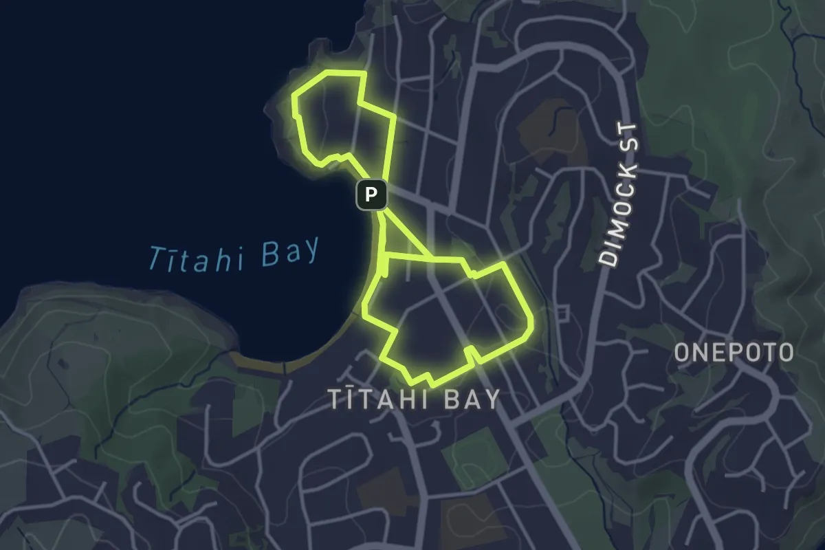
Easy · Trail
Titahi Bay murals walking tour
7.2 km · ↑ 83 m · 1 h 54 min
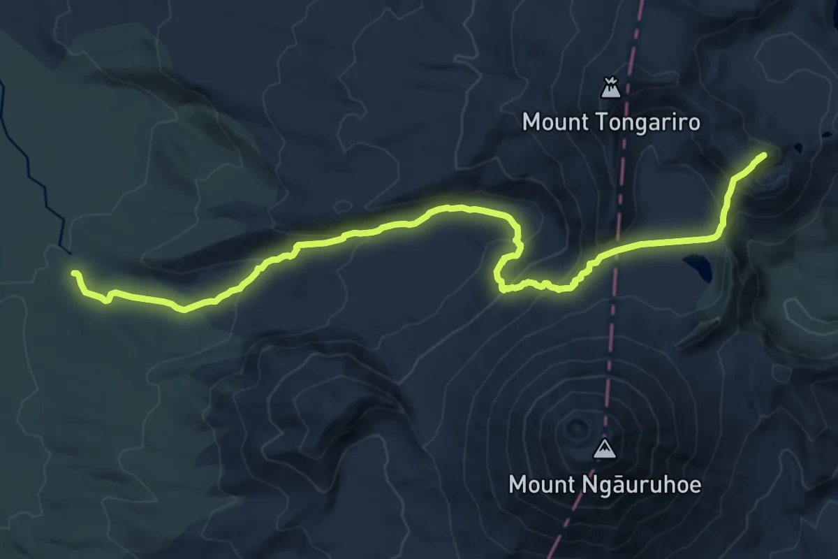
Medium · Summit
Tongariro Alpine Crossing
16.5 km · ↑ 758 m · 5 h 32 min
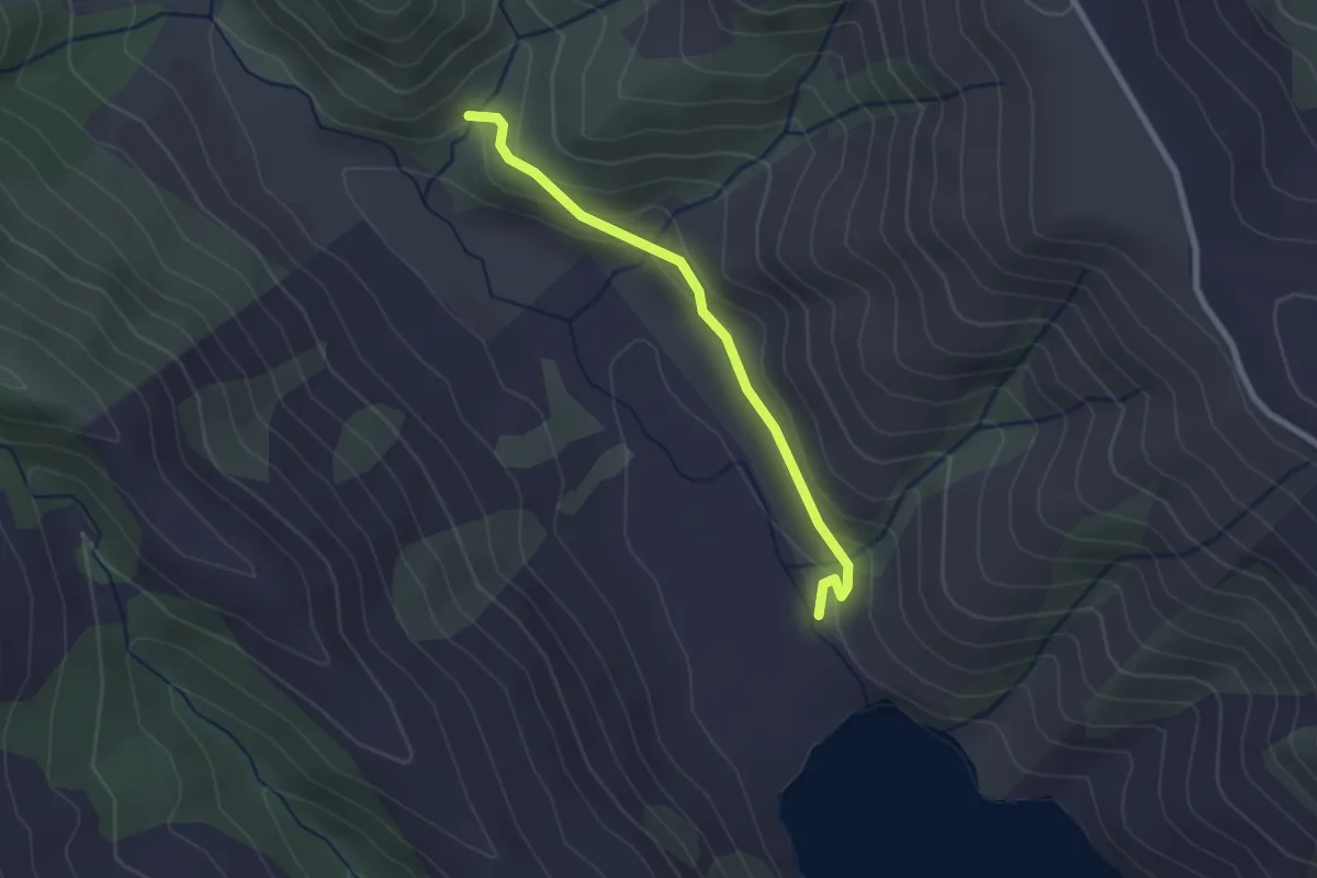
Easy · Trail
Tōrea Track
2.3 km · ↑ 121 m · 49 min
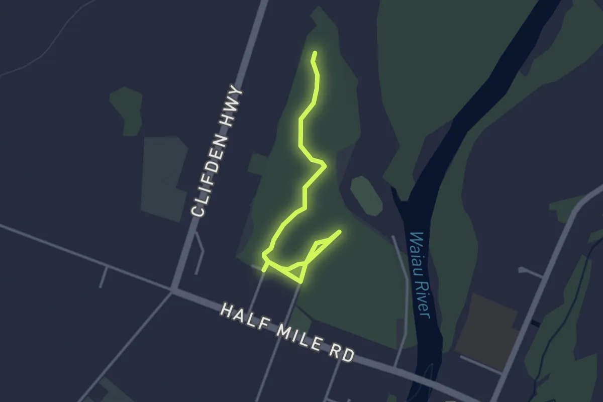
Easy · Trail
Tuatapere Domain Walks
3.5 km · ↑ 4 m · 50 min
Easy · Trail
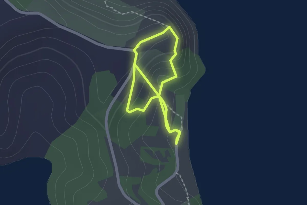
Tungutu Loop Track
3.3 km · ↑ 169 m · 1 h 9 min
Easy · Trail
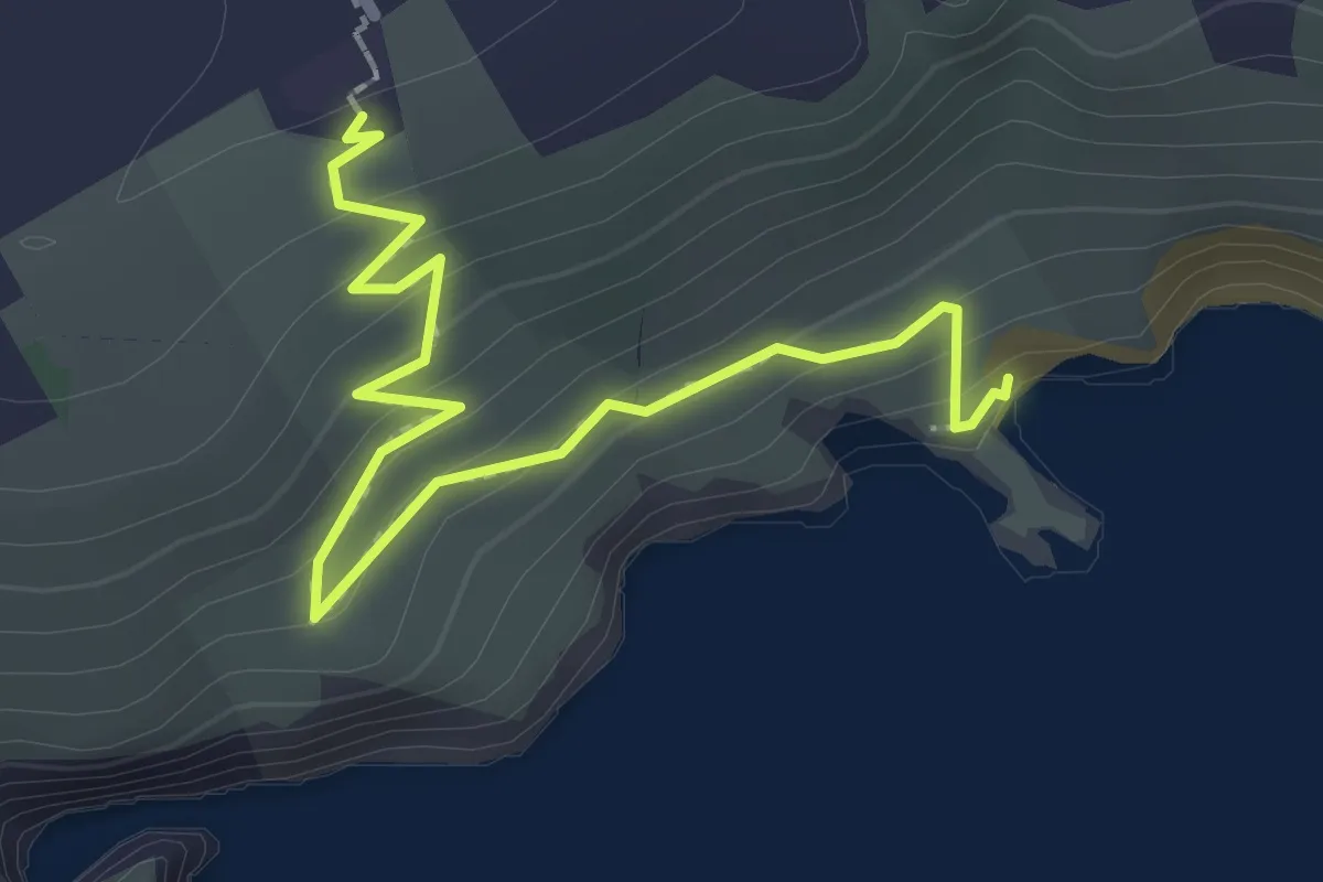
Tunnel Beach Walk
2.7 km · ↑ 133 m · 56 min
Medium · Trail
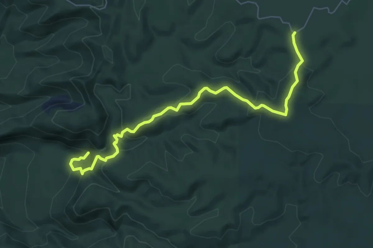
Tupapakurua Falls Track
6.9 km · ↑ 420 m · 2 h 33 min
Medium · Trail
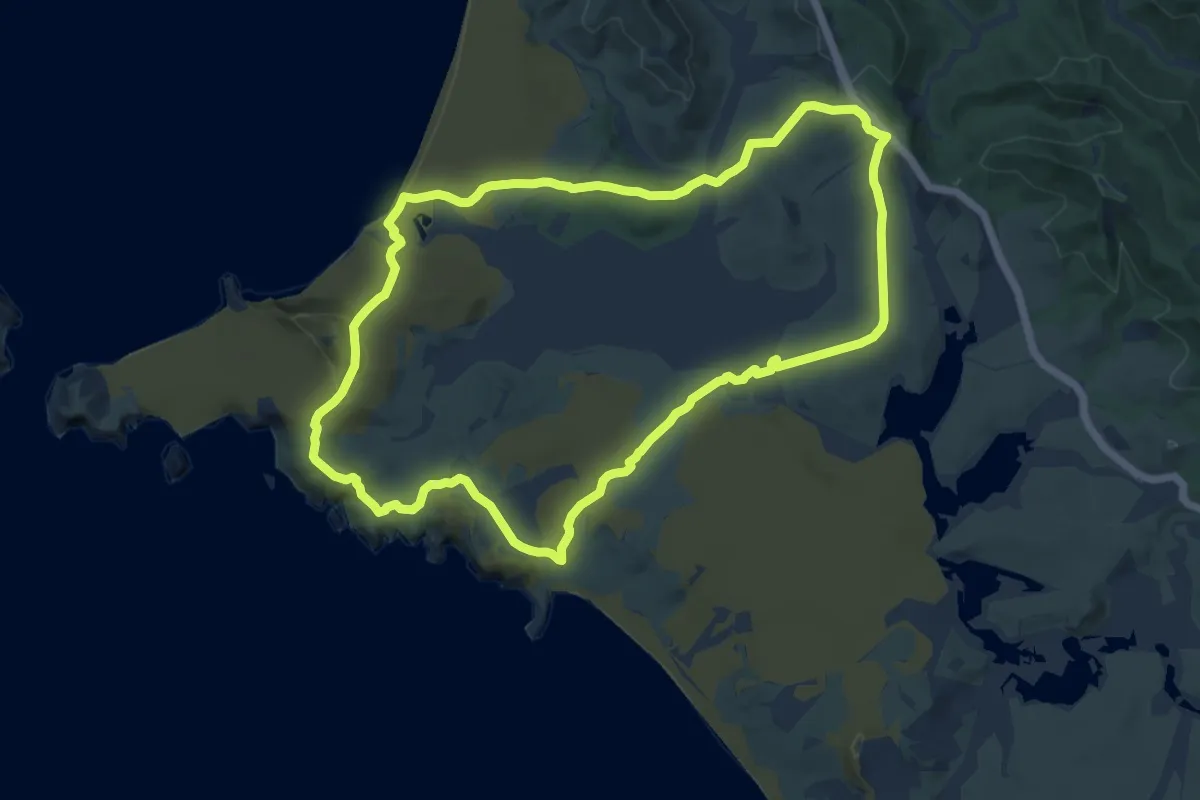
Twilight-Te Werahi Loop
13.3 km · ↑ 295 m · 3 h 58 min
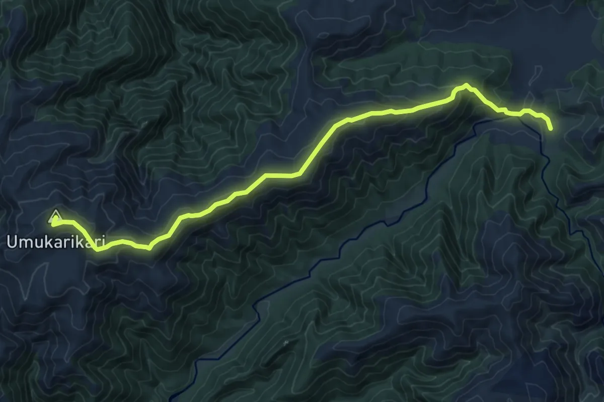
Medium · Summit
Umukarikari Track
11.6 km · ↑ 541 m · 3 h 55 min
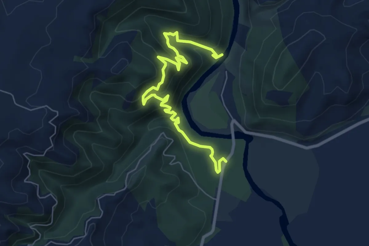
Medium · Trail
Upper Gorge Bridge Track
7.3 km · ↑ 504 m · 2 h 49 min
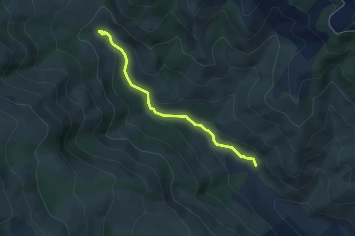
Easy · Trail
Valley Track
3.8 km · ↑ 154 m · 1 h 14 min
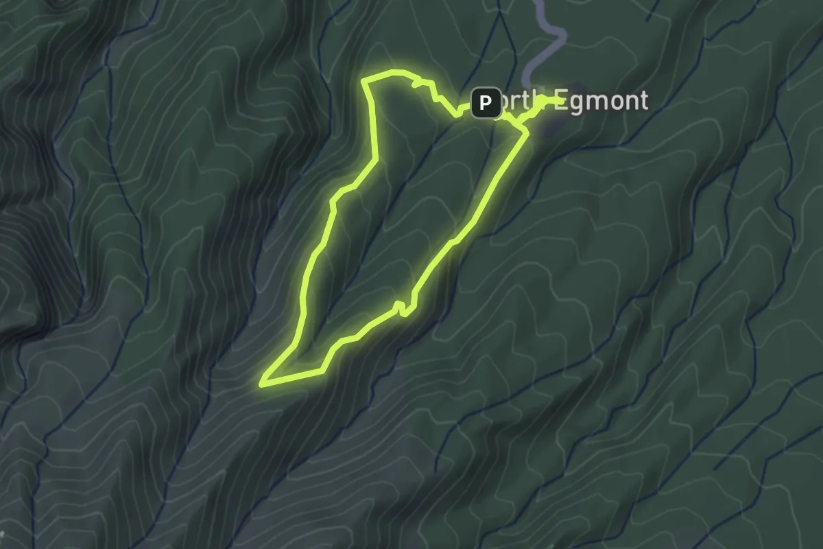
Easy · Cabin
Veronica Loop Track
3.2 km · ↑ 194 m · 1 h 14 min