Trails in Norway
7,452 hiking trails, each with its route, climb, walking time and grade.
All trails, page 108 of 156
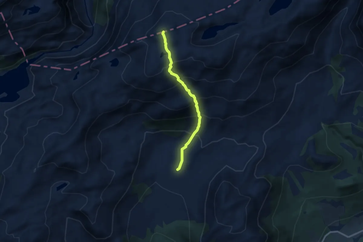
Medium · Trail
Trollvassnykjen
4.7 km · ↑ 498 m · 2 h 11 min
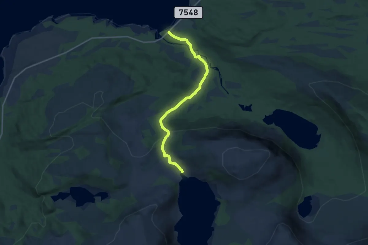
Medium · Trail
Trollvatnet
6.6 km · ↑ 312 m · 2 h 14 min
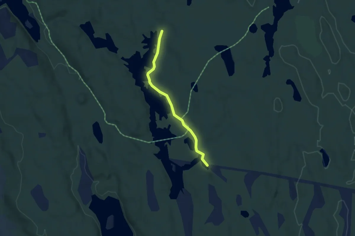
Easy · Trail
Trømborgfjella, Langgard rundt
2.4 km · ↑ 14 m · 36 min
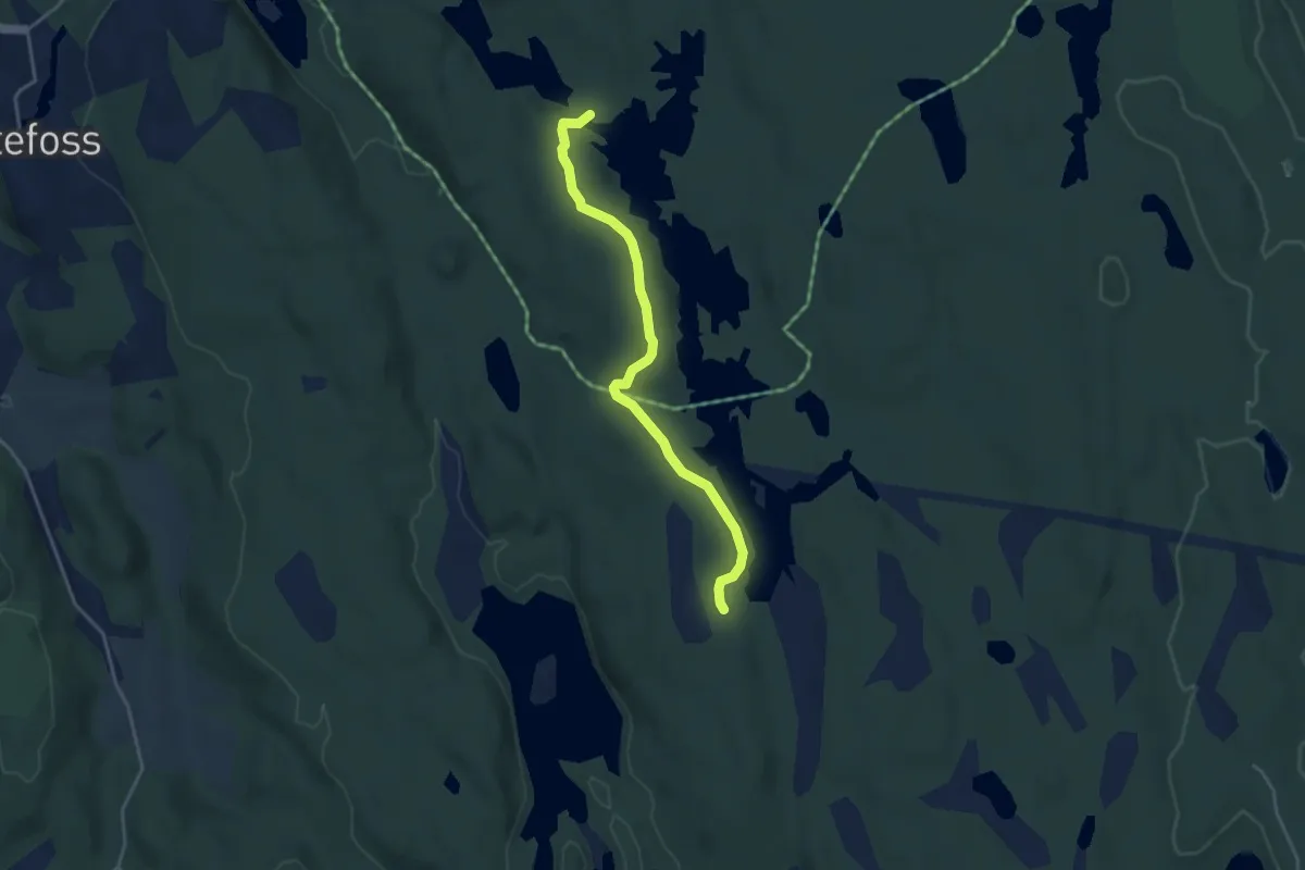
Easy · Trail
Trømborgfjella, Langgard rundt
2.8 km · ↑ 16 m · 41 min
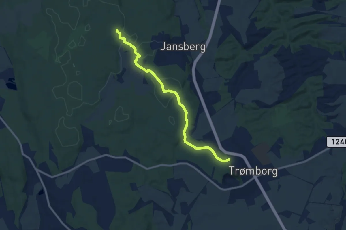
Easy · Trail
Trømborg Lysløype til Sameiarunden
4.7 km · ↑ 34 m · 1 h 11 min
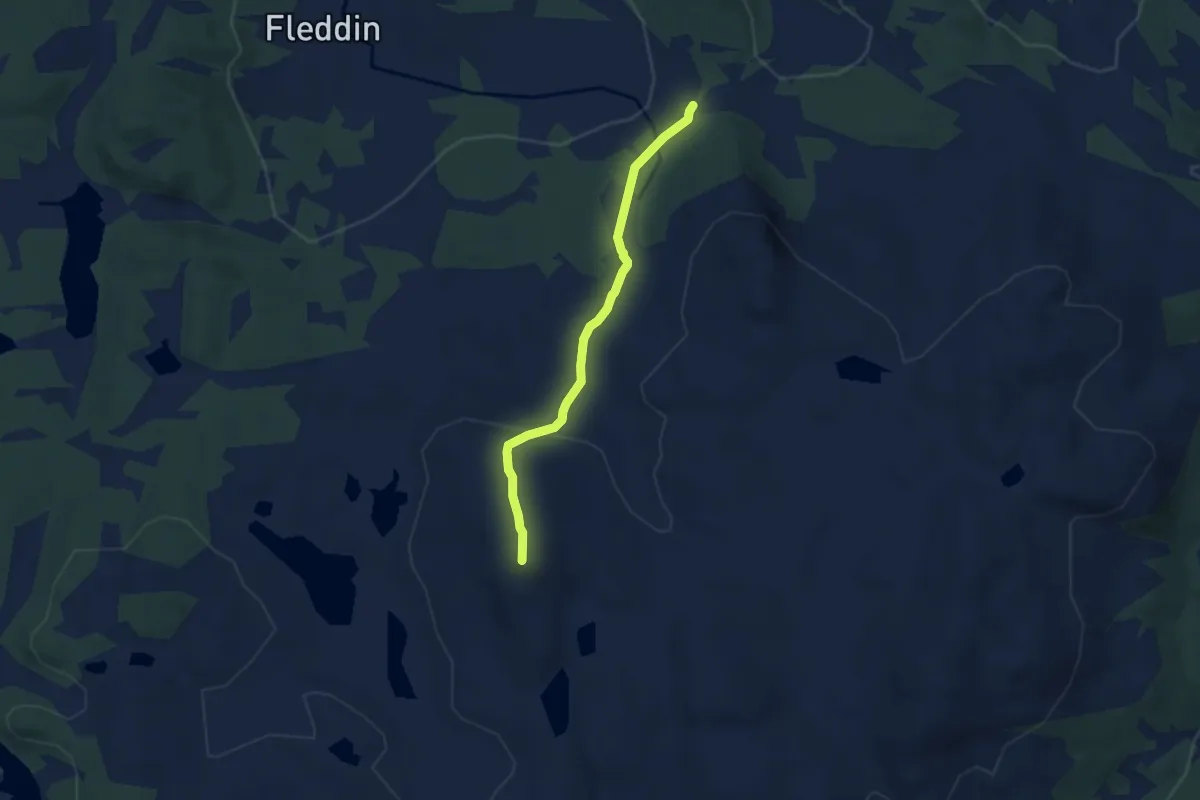
Easy · Trail
Trommenattrunden
3.7 km · ↑ 158 m · 1 h 12 min
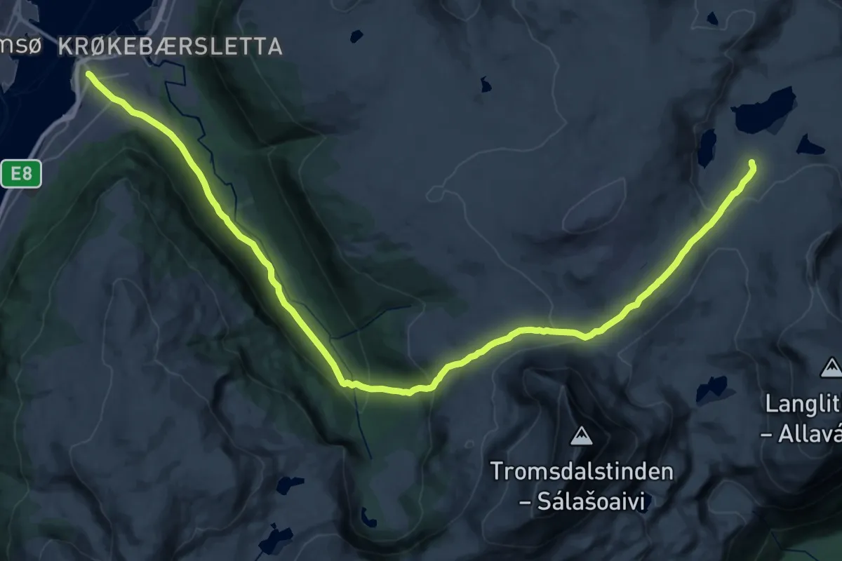
Demanding · Cabin
Tromsdalen-Skarvassbu
23.4 km · ↑ 776 m · 7 h 12 min
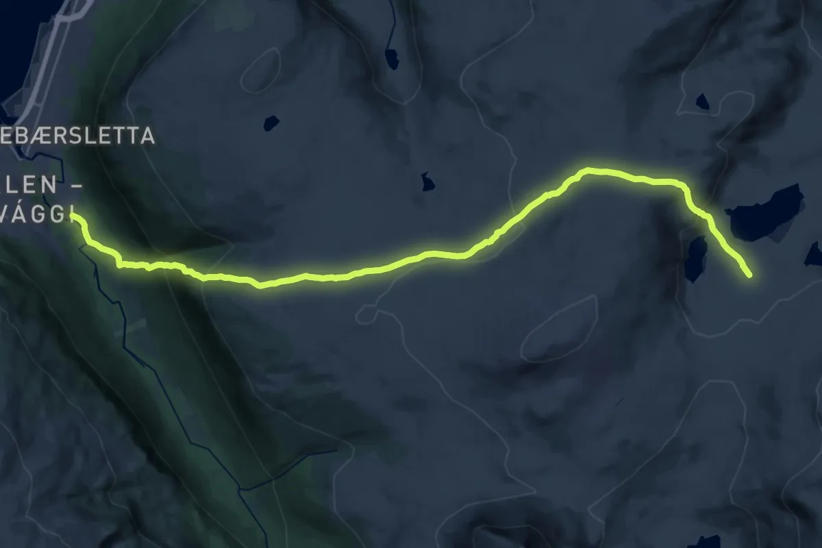
Demanding · Trail
Tromsdalen - Tromsø geografisk midtpunkt - Skarvassbu
16.7 km · ↑ 863 m · 5 h 49 min
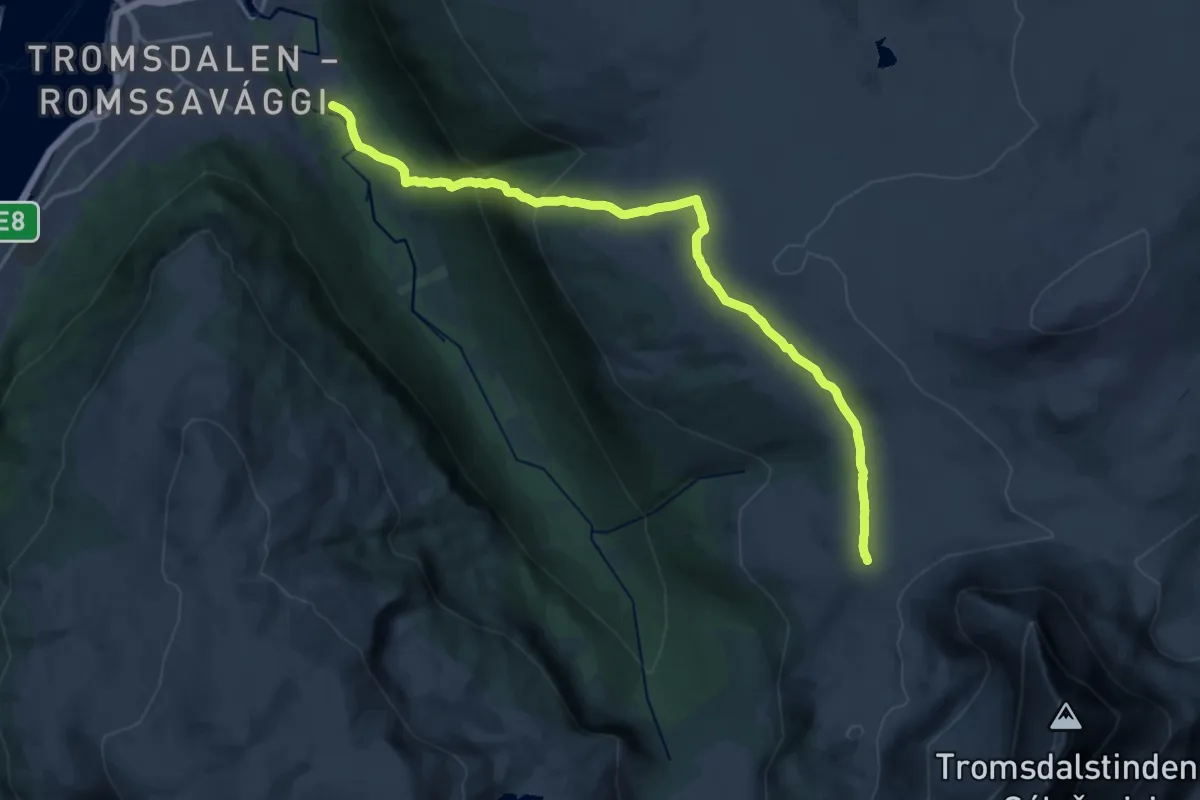
Medium · Trail
Tromsdalen - Tromsø geografisk midtpunkt - Tindfoten
11.5 km · ↑ 621 m · 4 h 4 min
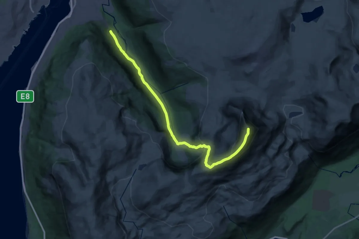
Demanding · Trail
Tromsdalstinden
18.0 km · ↑ 1205 m · 6 h 52 min
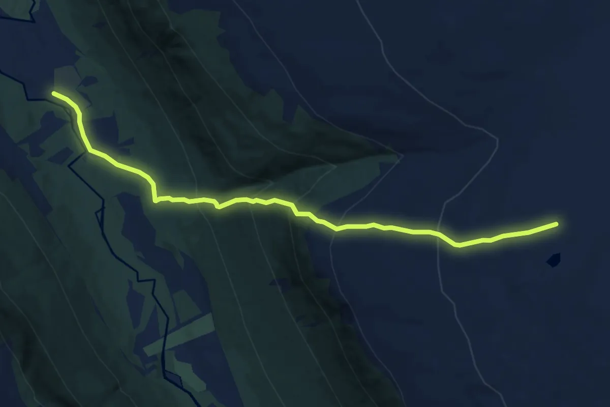
Medium · Trail
Tromsøs Geografiske midtpunkt, søndre sti
5.6 km · ↑ 537 m · 2 h 30 min
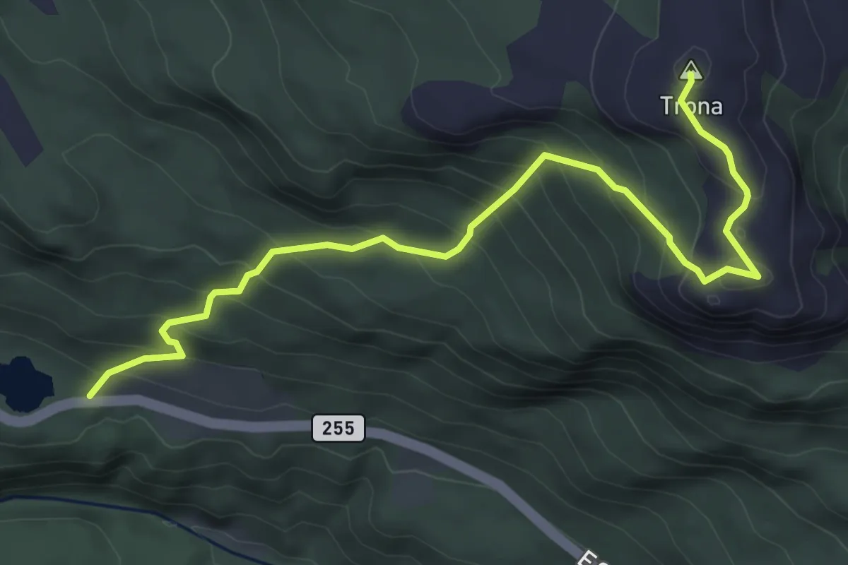
Medium · Trail
Trona
3.7 km · ↑ 327 m · 1 h 34 min
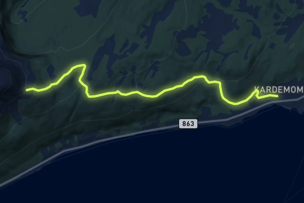
Medium · Trail
Trondstien
8.3 km · ↑ 291 m · 2 h 36 min
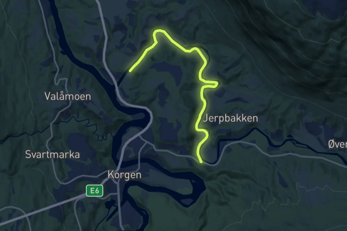
Easy · Trail
Tronesrunden
7.0 km · ↑ 22 m · 1 h 43 min
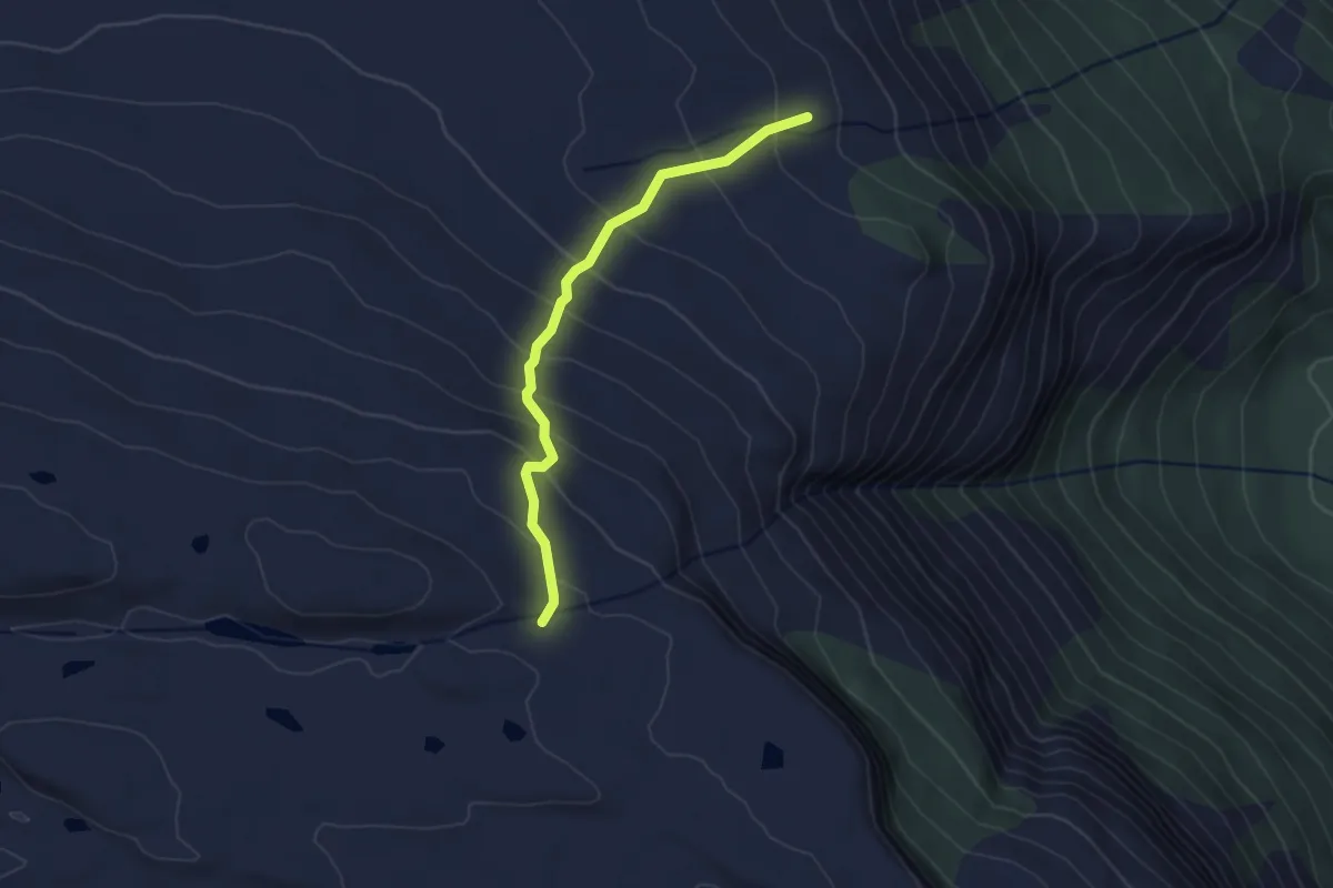
Easy · Trail
Trongedalsnuten
2.0 km · ↑ 197 m · 54 min
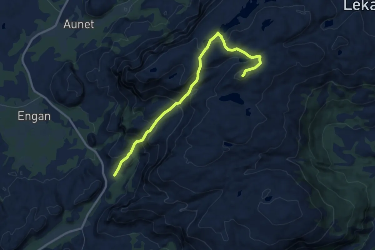
Demanding · Trail
Trongen - Vattinden
4.5 km · ↑ 395 m · 1 h 56 min
Easy · Trail
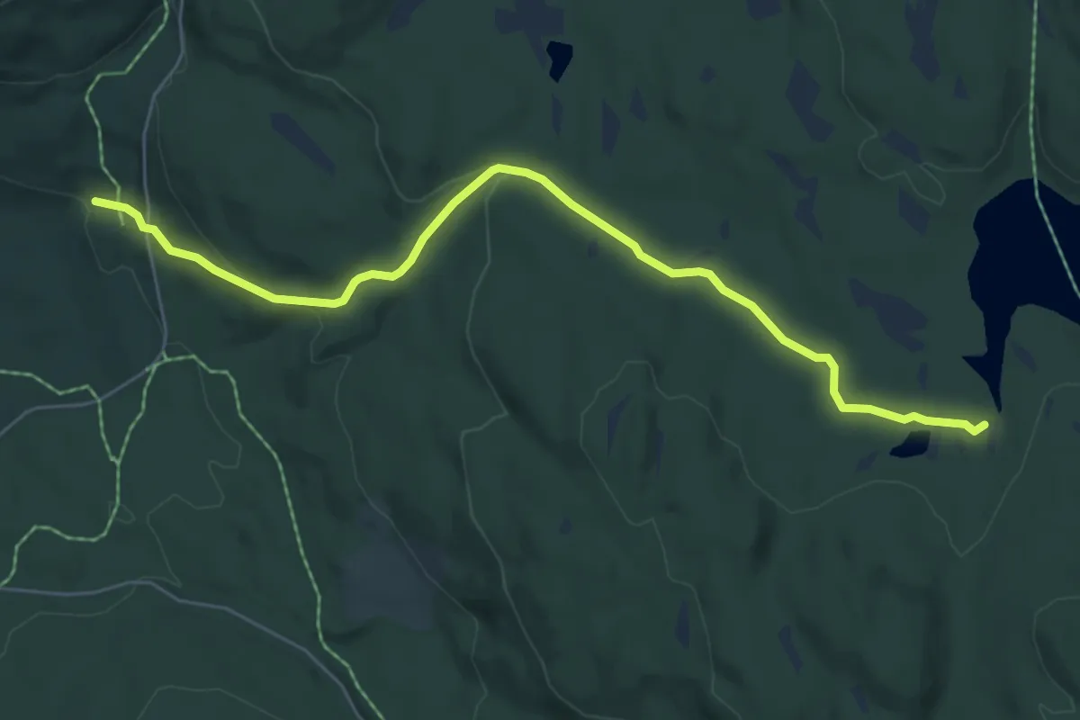
Tronsbotnbakken - Skotjern
4.8 km · ↑ 135 m · 1 h 25 min
Easy · Cabin
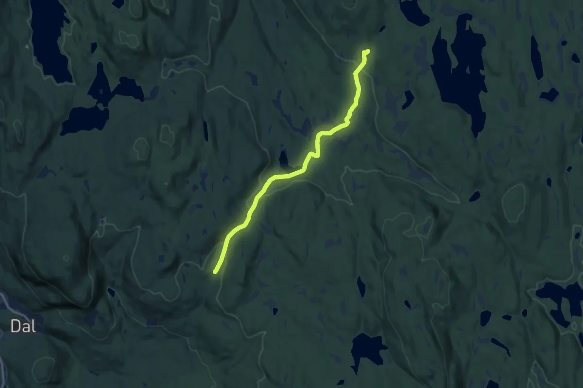
Tronsbotnbakken - Snellingen gård
7.2 km · ↑ 160 m · 2 h 2 min
Demanding · Trail
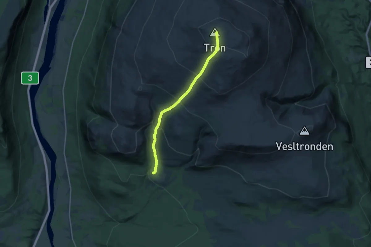
Tronsvangen til Trontoppen
8.3 km · ↑ 825 m · 3 h 45 min
Medium · Trail
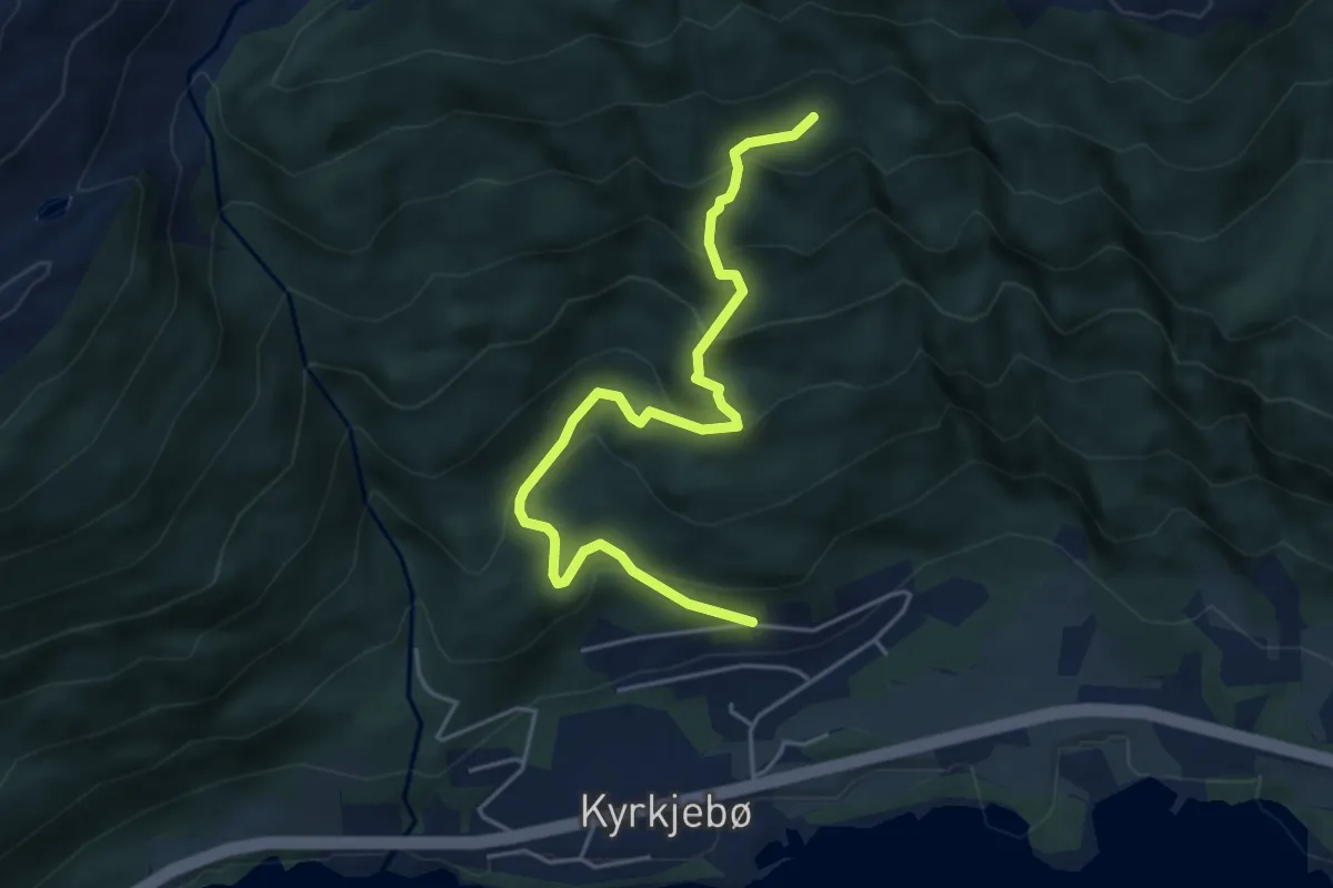
Tronvik Nord - Naveset
3.5 km · ↑ 302 m · 1 h 29 min
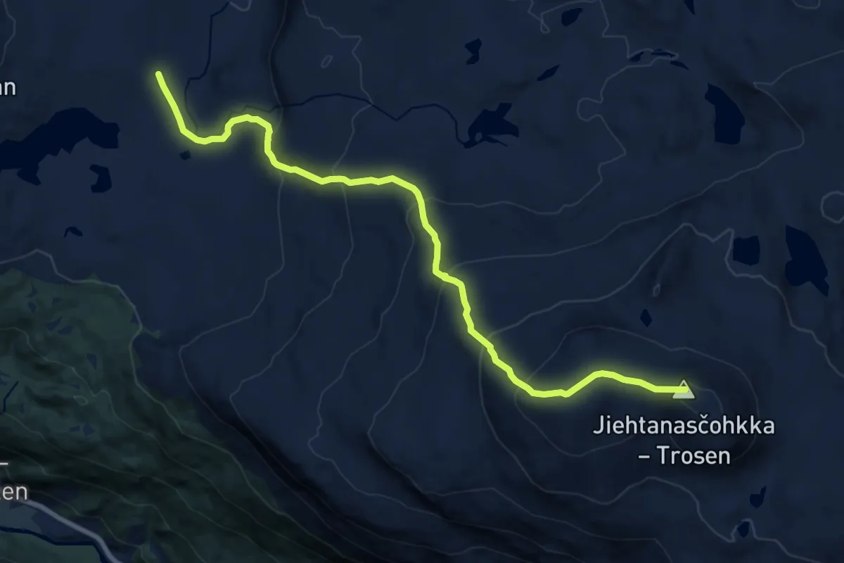
Expert · Trail
Trosen
9.5 km · ↑ 703 m · 3 h 46 min
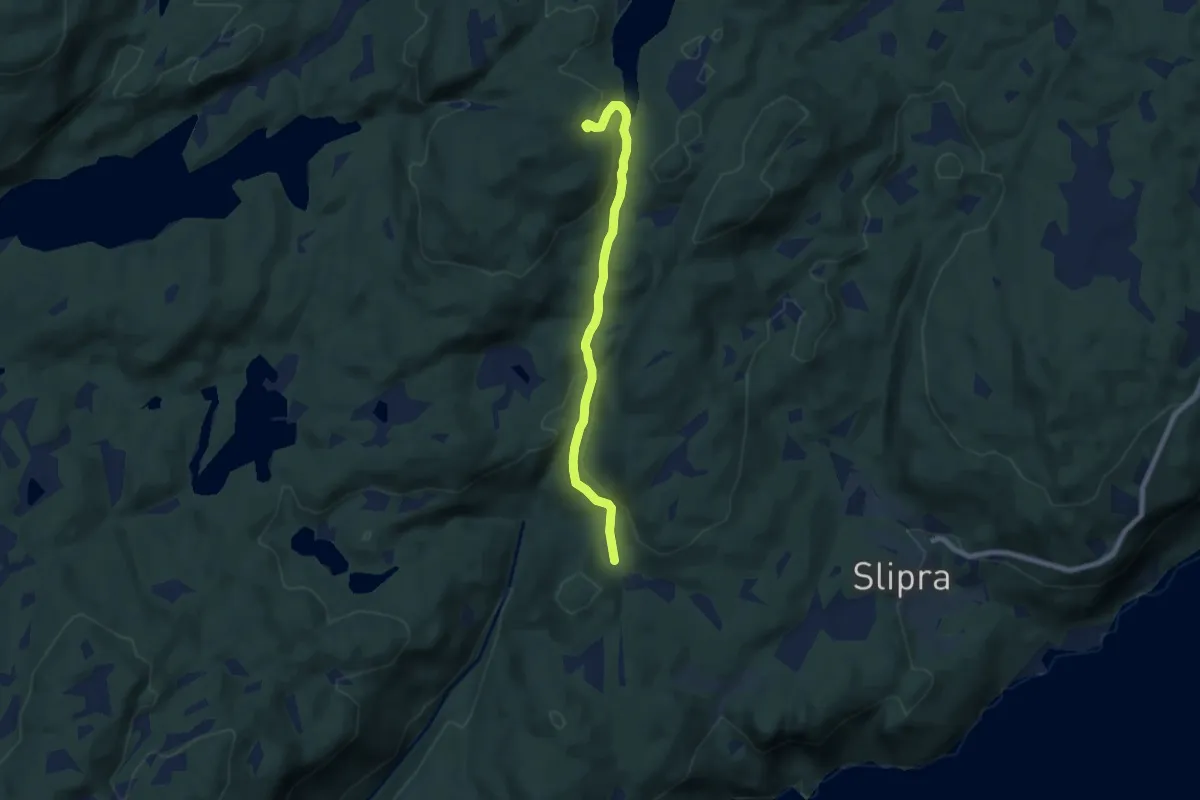
Easy · Trail
Trosetseterstien
4.4 km · ↑ 143 m · 1 h 20 min
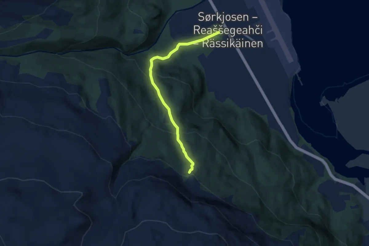
Easy · Trail
Truisku
3.4 km · ↑ 287 m · 1 h 25 min
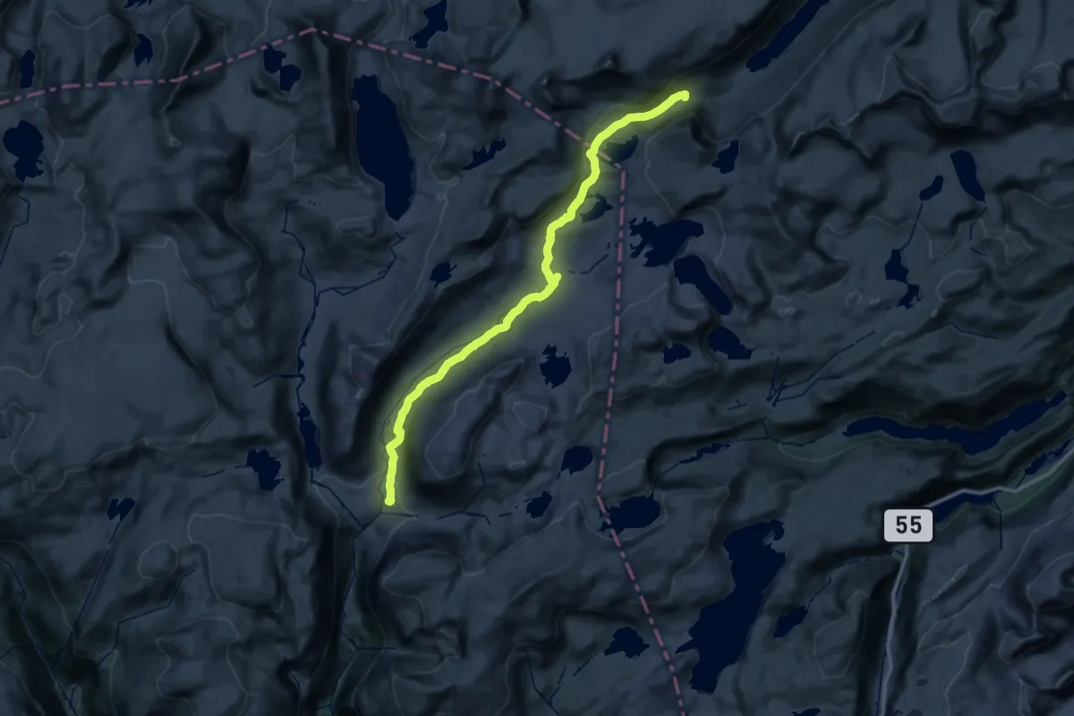
Medium · Cabin
Trulsbu - Nørdstedalseter
16.0 km · ↑ 207 m · 4 h 37 min
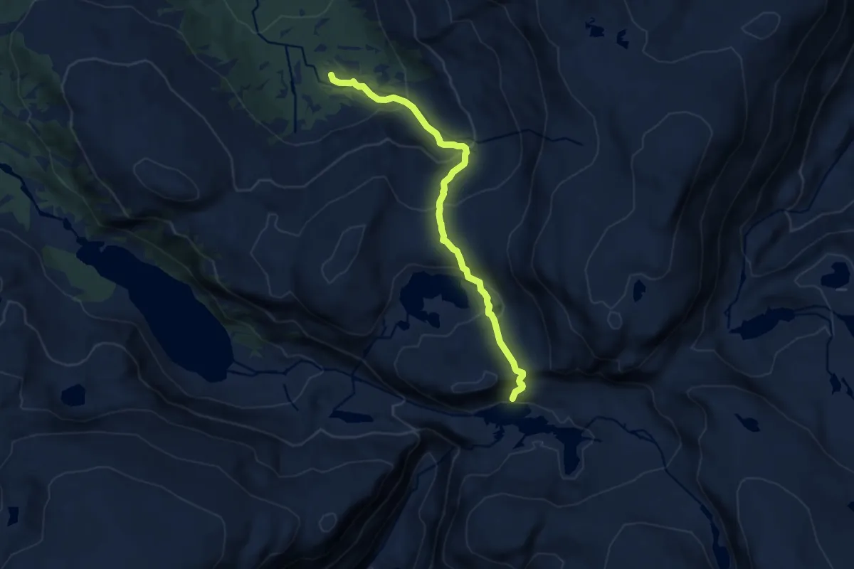
Medium · Trail
Tryglabotnen - Mjølbotnen
6.3 km · ↑ 474 m · 2 h 31 min
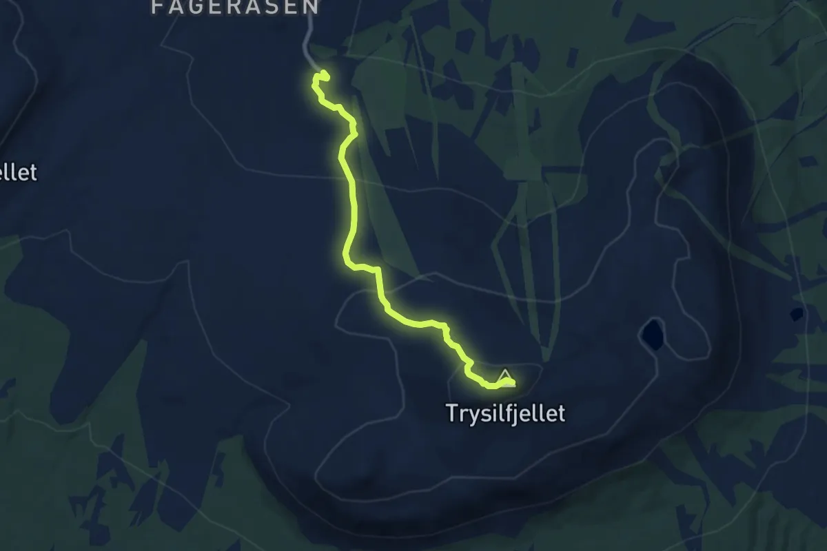
Easy · Trail
Trysilfjellet
5.4 km · ↑ 305 m · 1 h 57 min
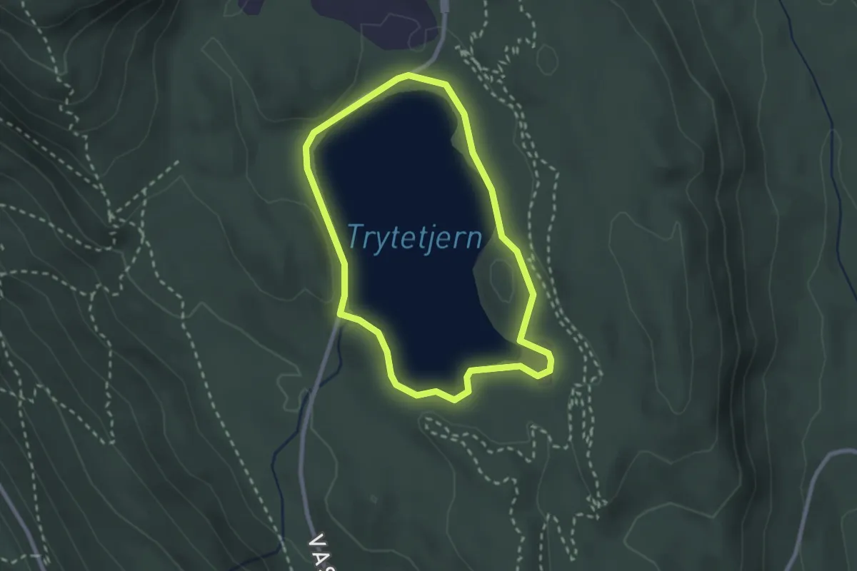
Easy · Trail
Trytetjern rundt
3.2 km · ↑ 10 m · 46 min
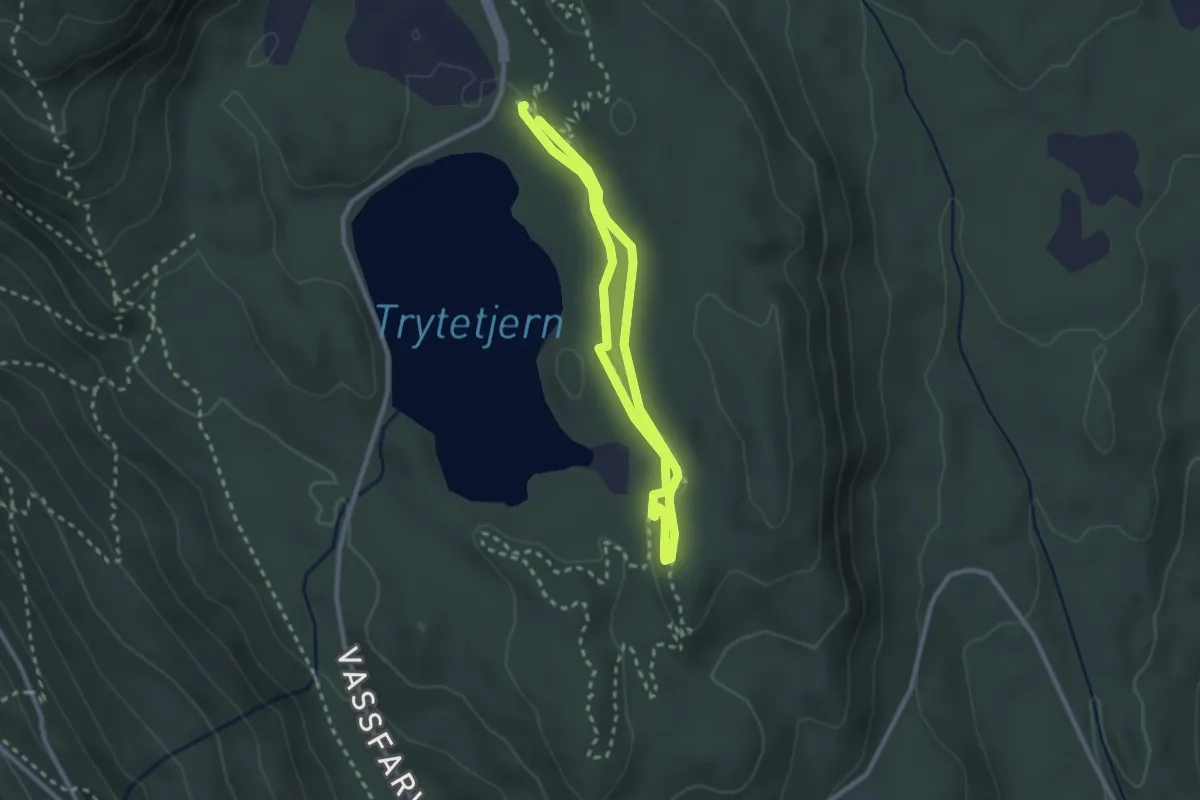
Easy · Trail
Trytetrøkket
3.0 km · ↑ 9 m · 44 min
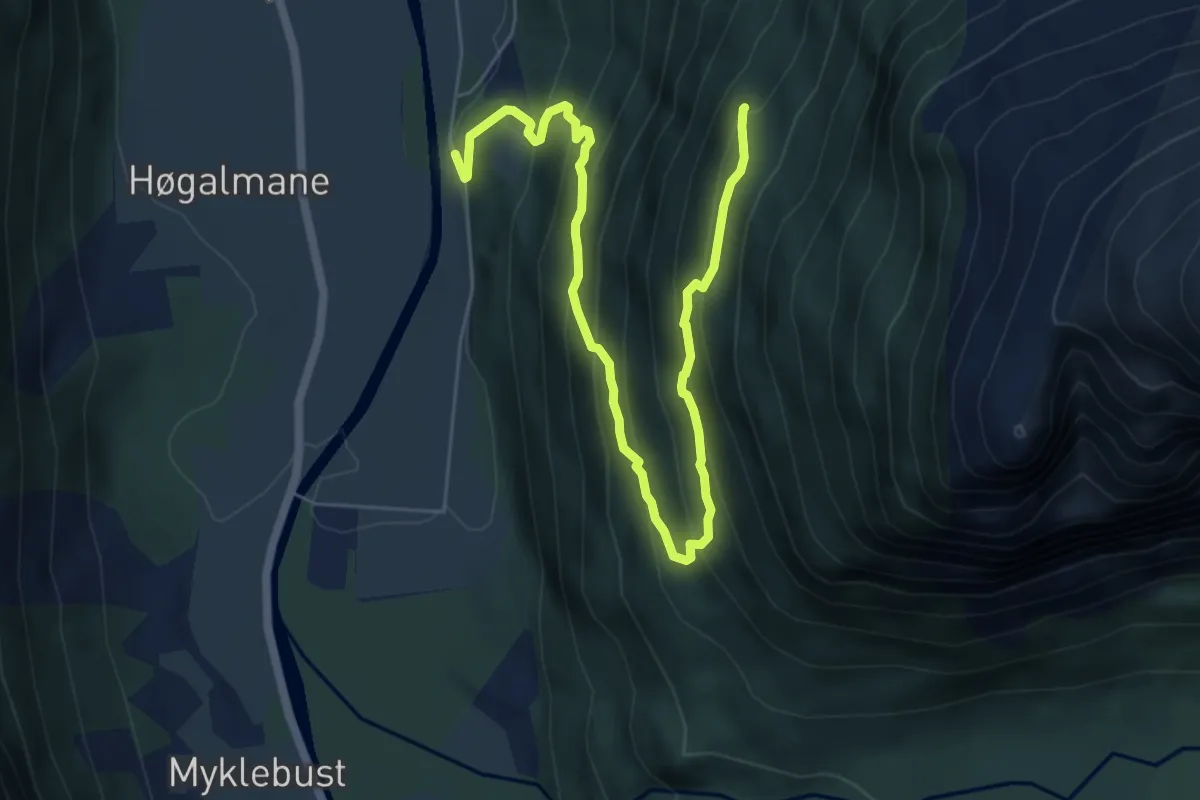
Medium · Trail
Tua
5.1 km · ↑ 461 m · 2 h 12 min
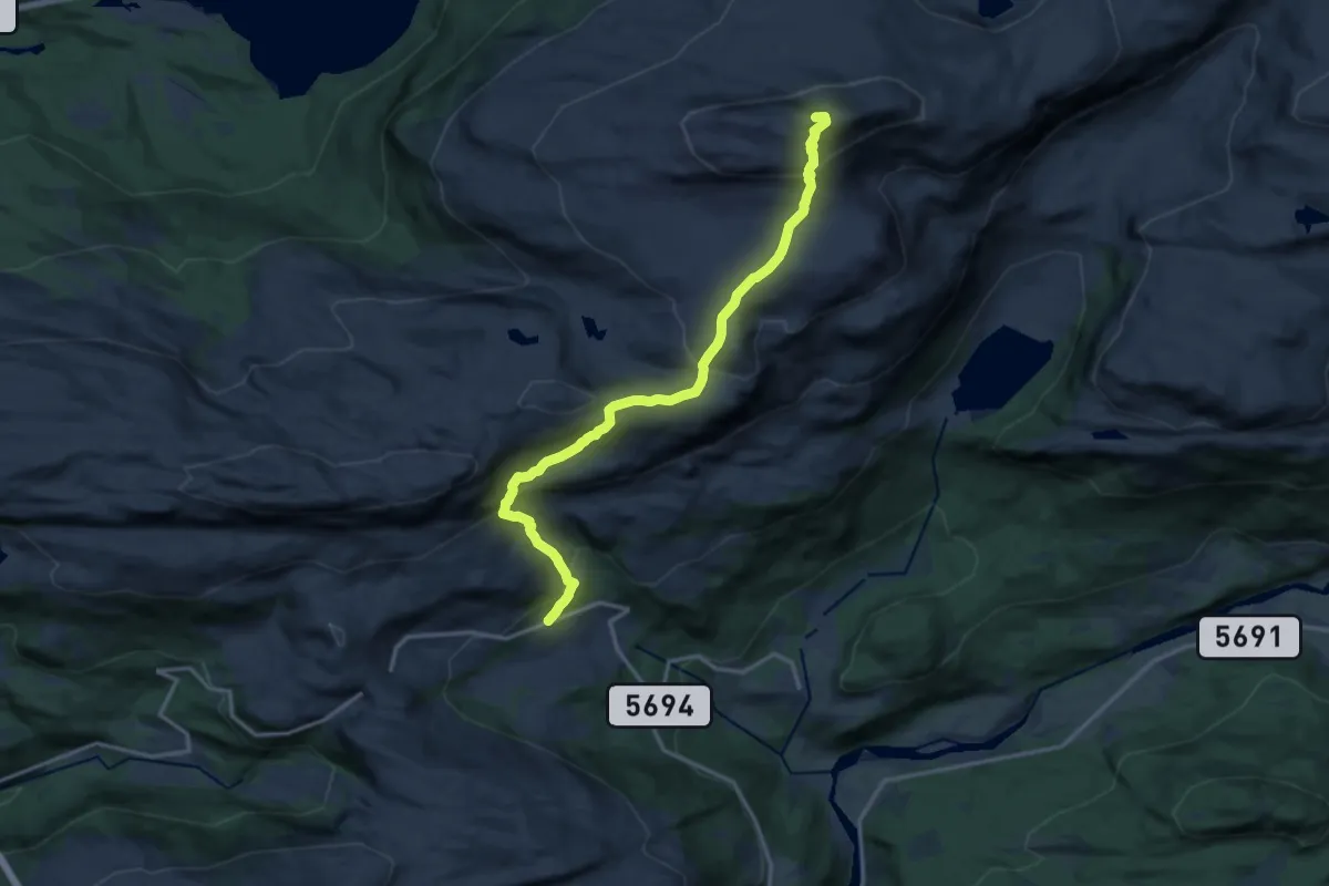
Medium · Trail
Tuftedalen ? Blåhølen-Blånipa
10.8 km · ↑ 746 m · 4 h 10 min
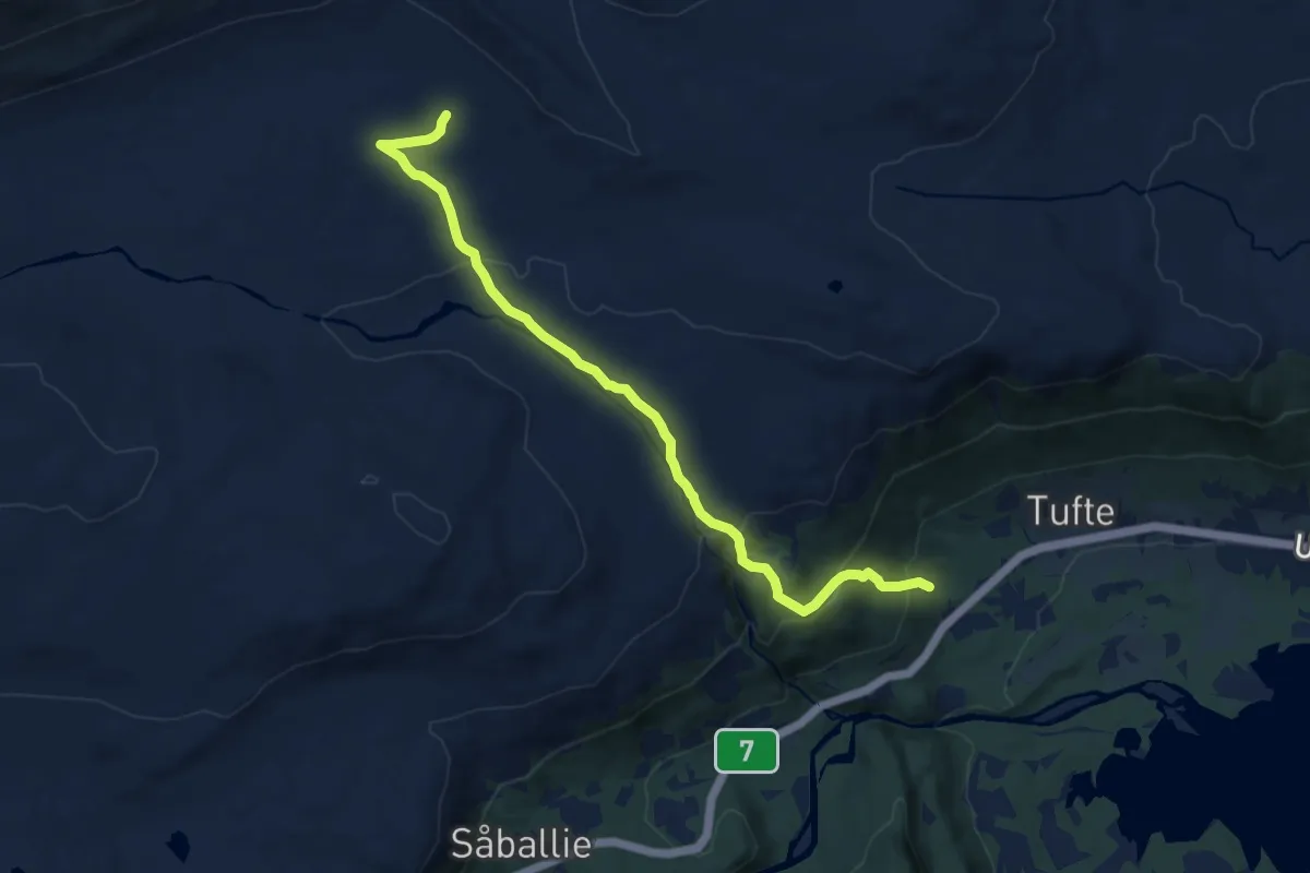
Medium · Trail
Tuftelia
8.8 km · ↑ 375 m · 2 h 54 min
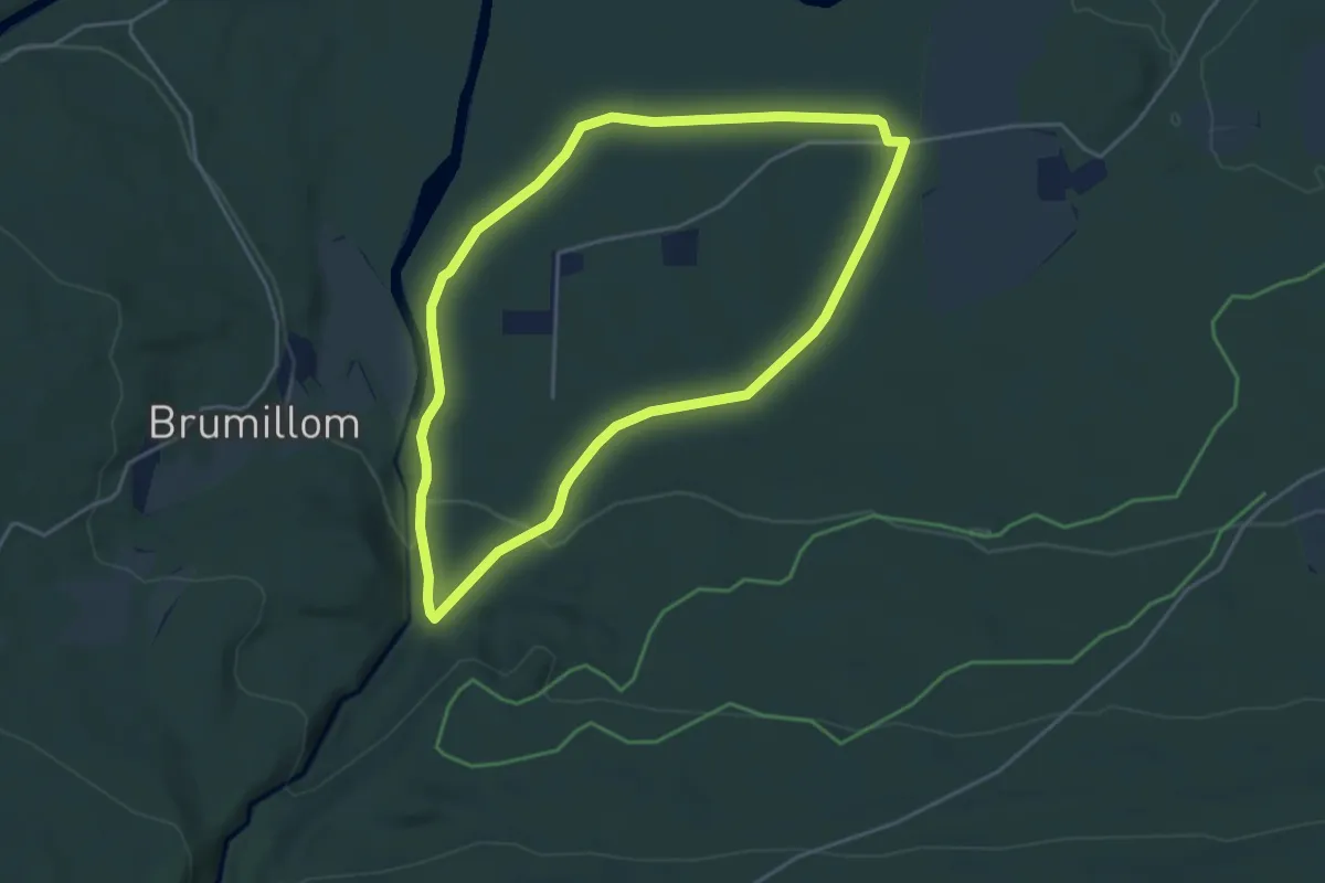
Easy · Trail
Tundramo-runda
5.8 km · ↑ 111 m · 1 h 36 min
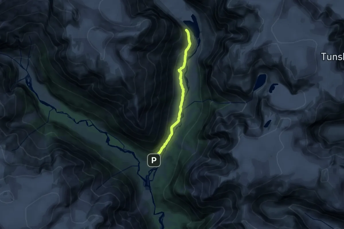
Medium · Trail
Tungestølen-Austerdalsbreen
10.9 km · ↑ 260 m · 3 h 8 min
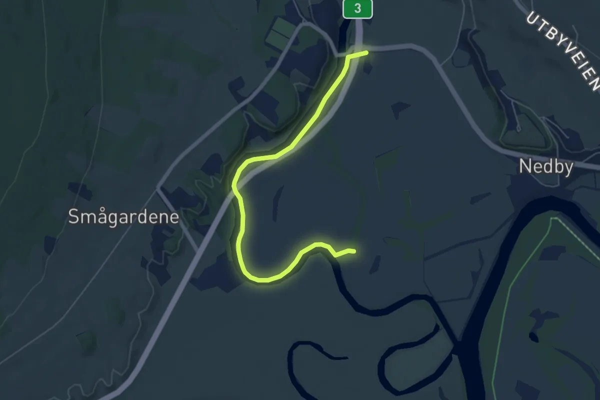
Easy · Trail
Tunnarunden
4.1 km · ↑ 4 m · 58 min
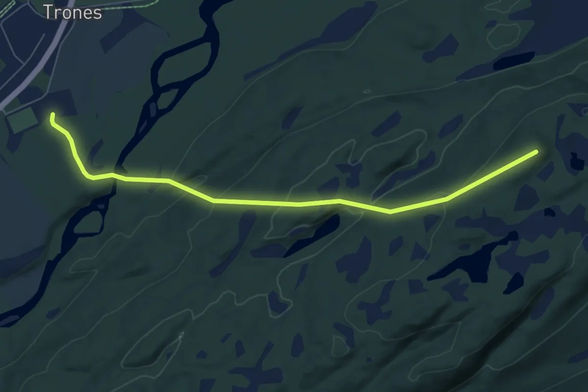
Easy · Trail
Tunnsjøåsen
4.5 km · ↑ 232 m · 1 h 34 min
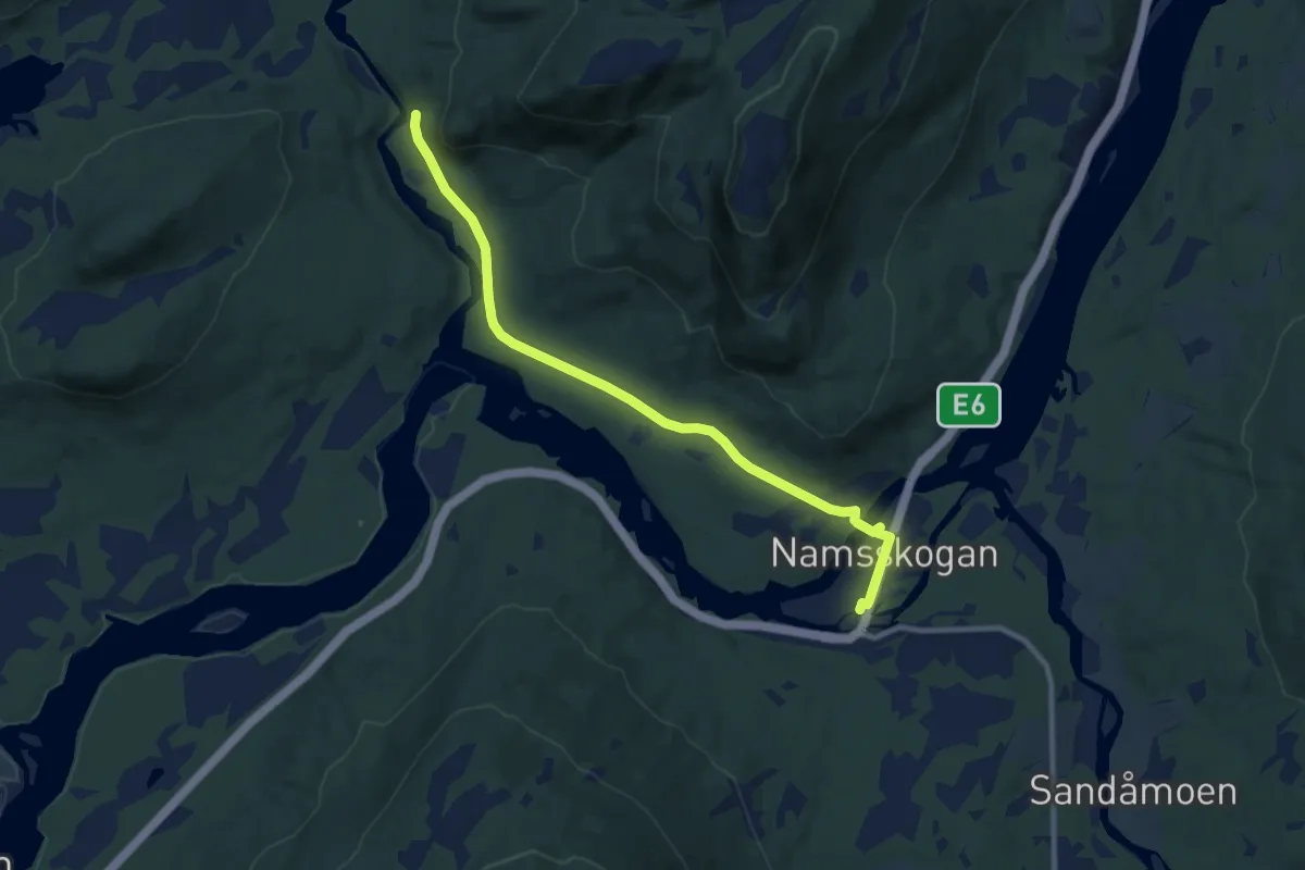
Easy · Trail
Turisten - Trongen
6.2 km · ↑ 82 m · 1 h 38 min
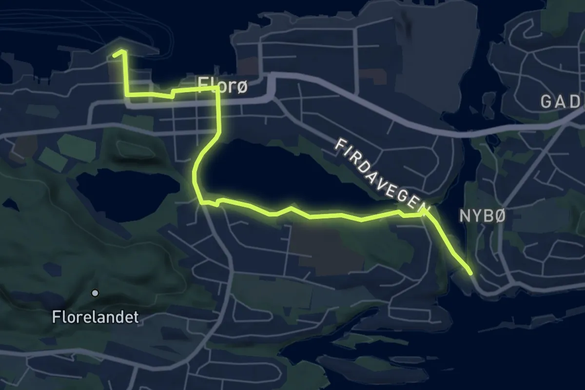
Medium · Trail
Turistløypa
5.0 km · ↑ 26 m · 1 h 14 min
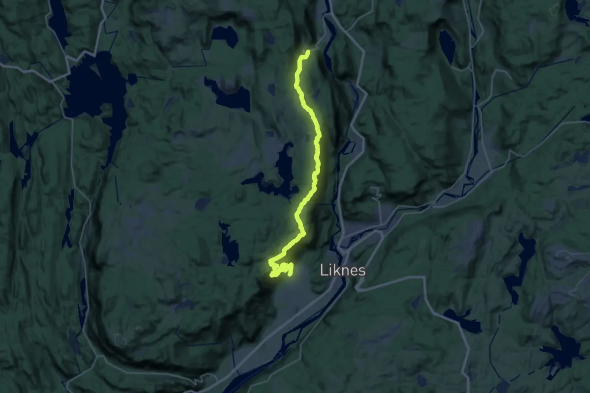
Demanding · Trail
Turløype Bjåstøl-Kleiven
21.4 km · ↑ 1081 m · 7 h 23 min
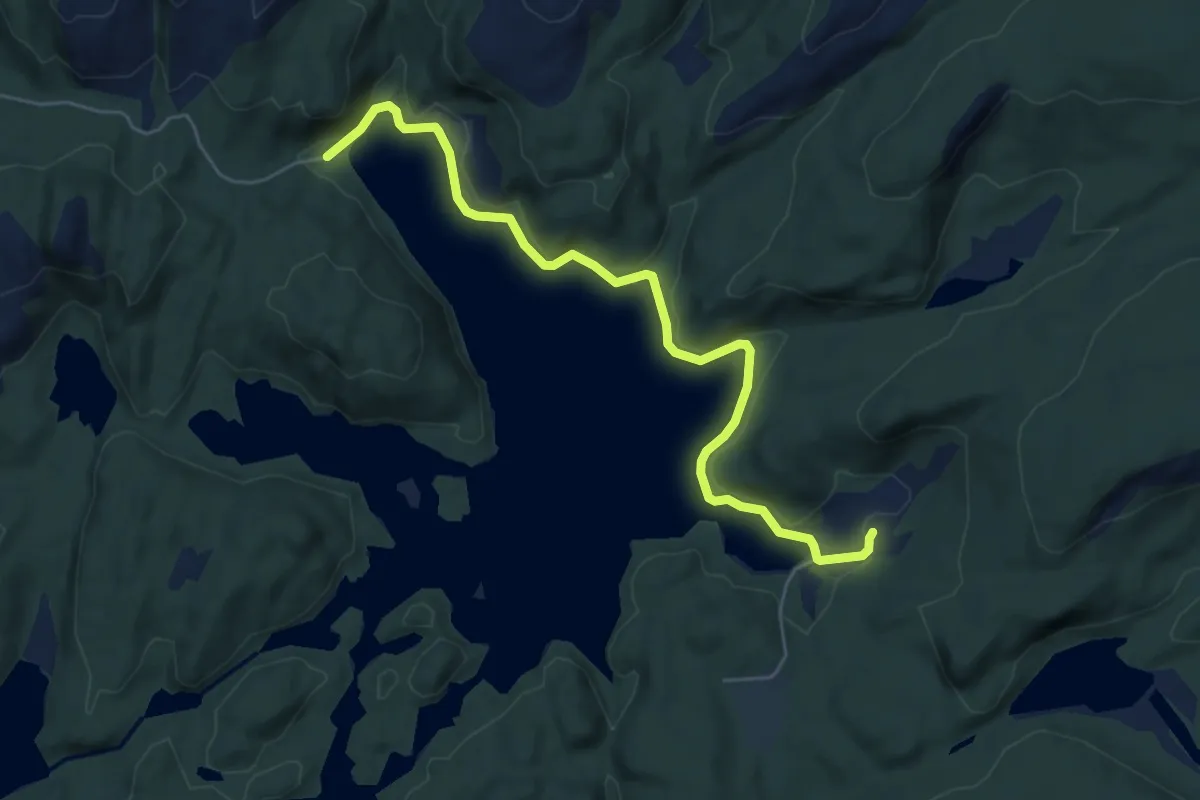
Easy · Trail
Turløype Gausdalvatnet-Tjødneskarknuden
4.6 km · ↑ 47 m · 1 h 12 min
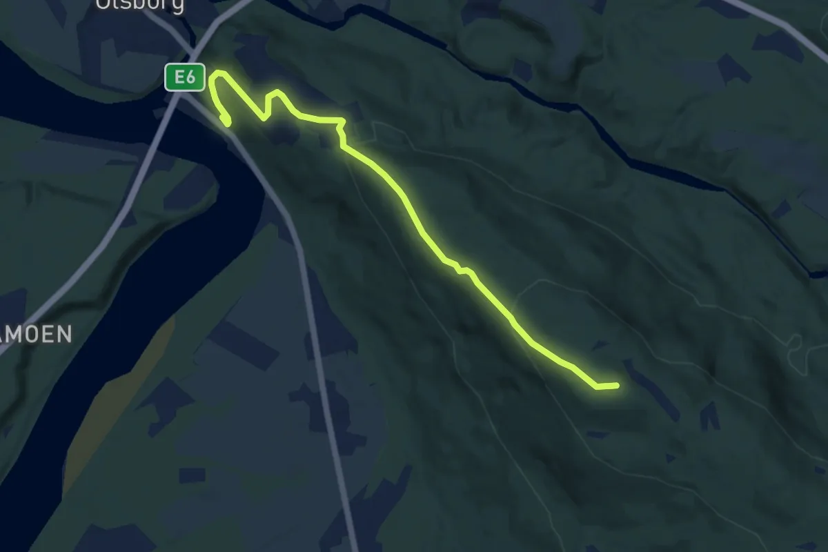
Easy · Trail
Turløype Linken
4.9 km · ↑ 230 m · 1 h 39 min
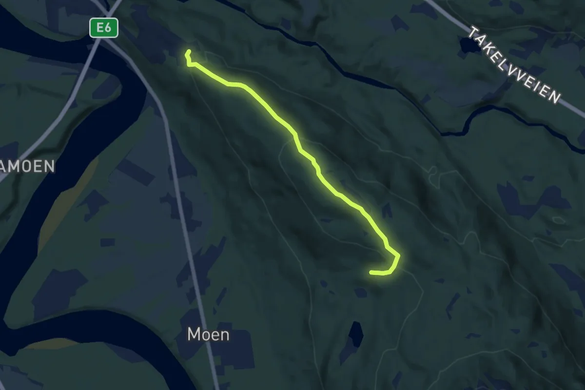
Easy · Trail
Turløype Linken
4.8 km · ↑ 224 m · 1 h 38 min
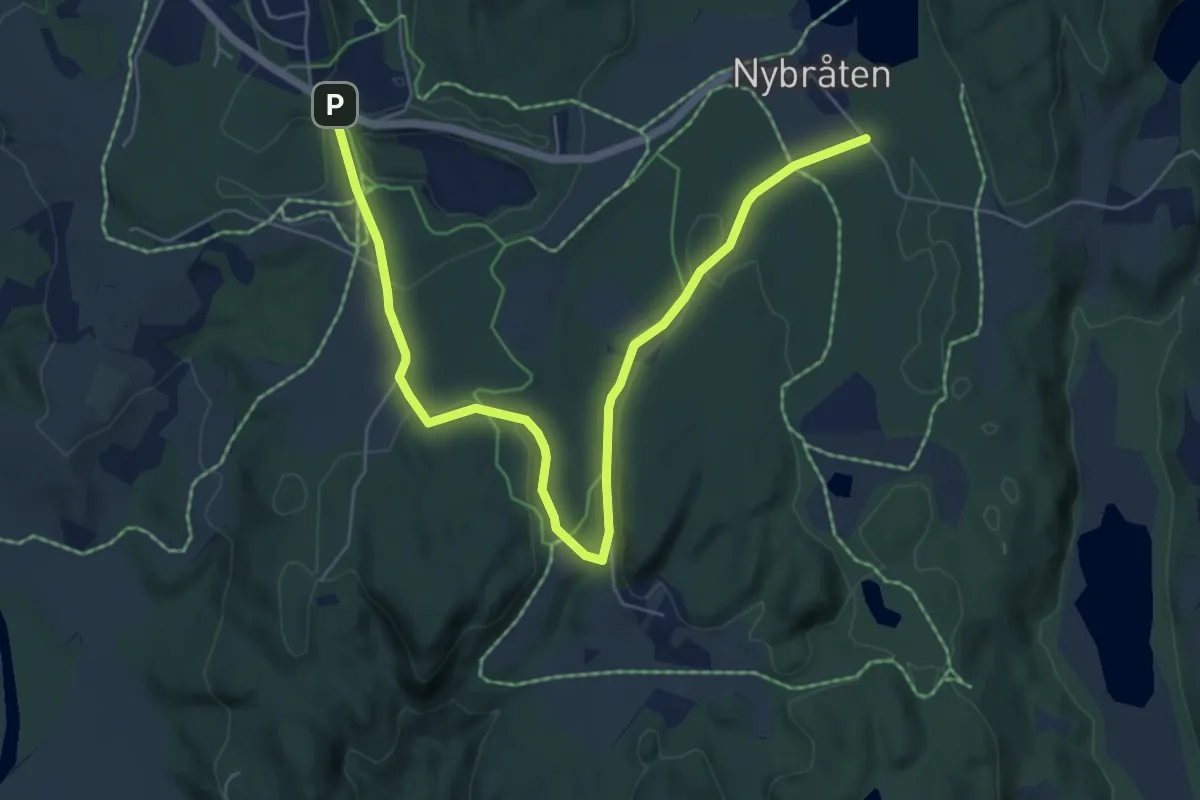
Easy · Trail
Turløype skihytta Leirsund
5.2 km · ↑ 37 m · 1 h 19 min
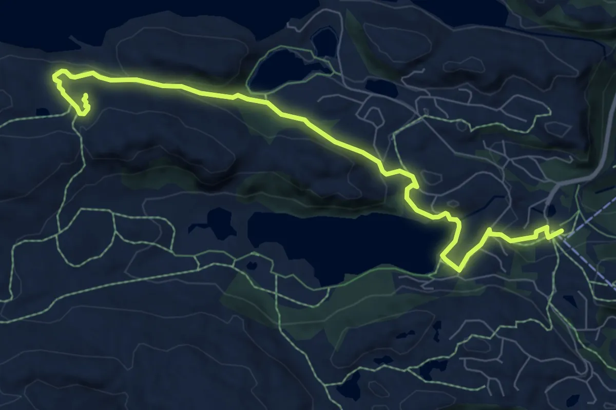
Easy · Trail
Turløype til Dagsturhytta
6.6 km · ↑ 222 m · 2 h 3 min
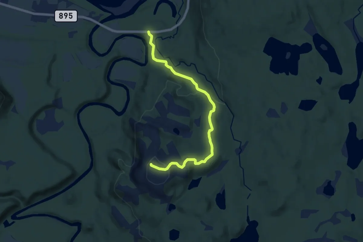
Easy · Trail
Turløype til Uhcasearbbaš
5.0 km · ↑ 189 m · 1 h 36 min
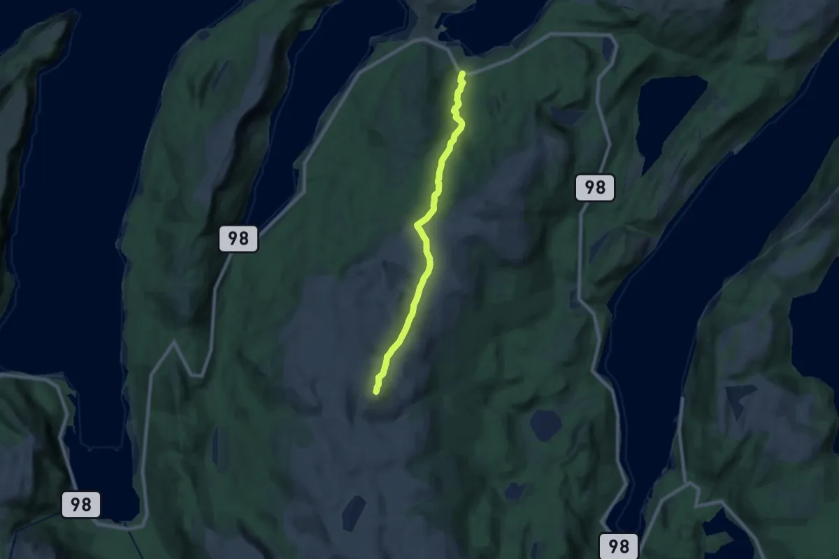
Medium · Trail
Turløype til Vardefjell på Čohkalas
9.1 km · ↑ 395 m · 3 h
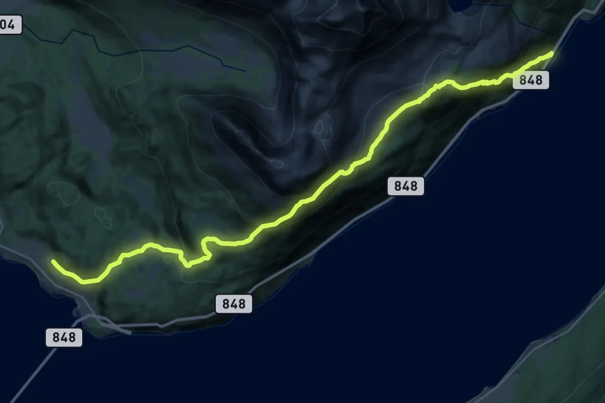
Demanding · Trail
Turrute Lineset - Igeland
17.6 km · ↑ 1149 m · 6 h 38 min
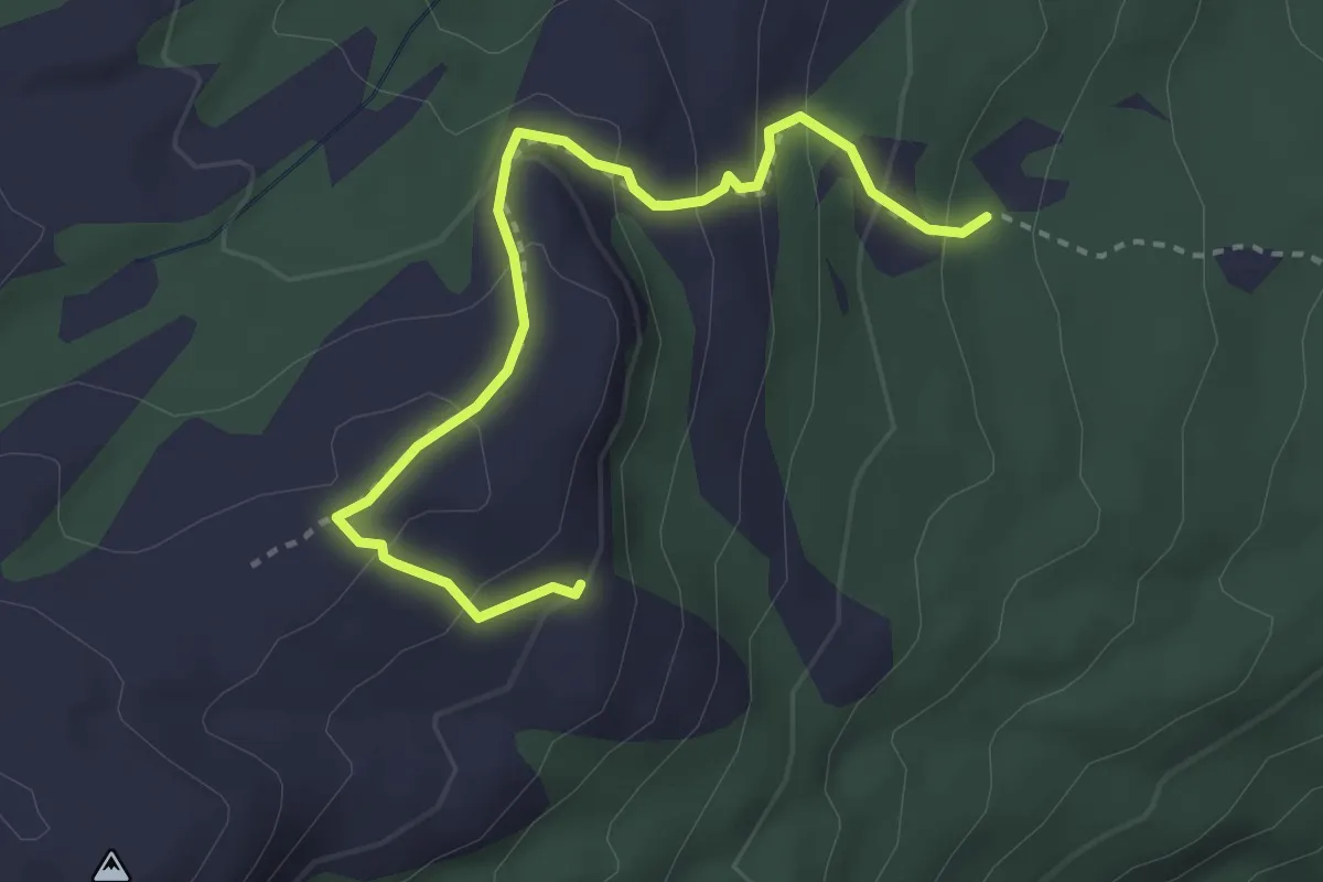
Easy · Trail
Turruter i Bø
2.5 km · ↑ 216 m · 1 h 3 min
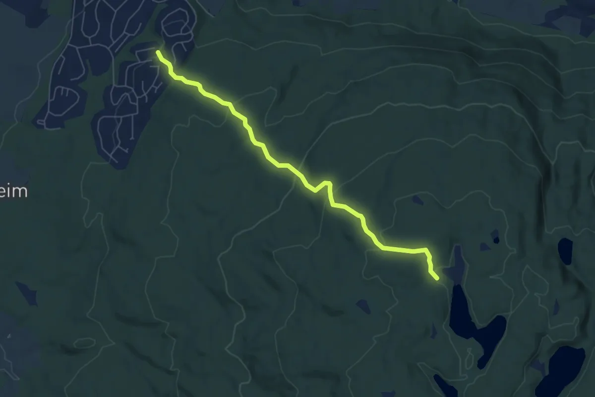
Easy · Trail
Turruter i Bø
4.7 km · ↑ 217 m · 1 h 35 min