Trails in Norway
7,452 hiking trails, each with its route, climb, walking time and grade.
All trails, page 117 of 156
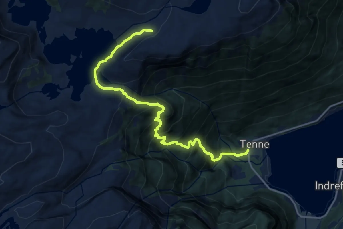
Demanding · Cabin
Vatnane-Tenne
8.5 km · ↑ 891 m · 3 h 57 min
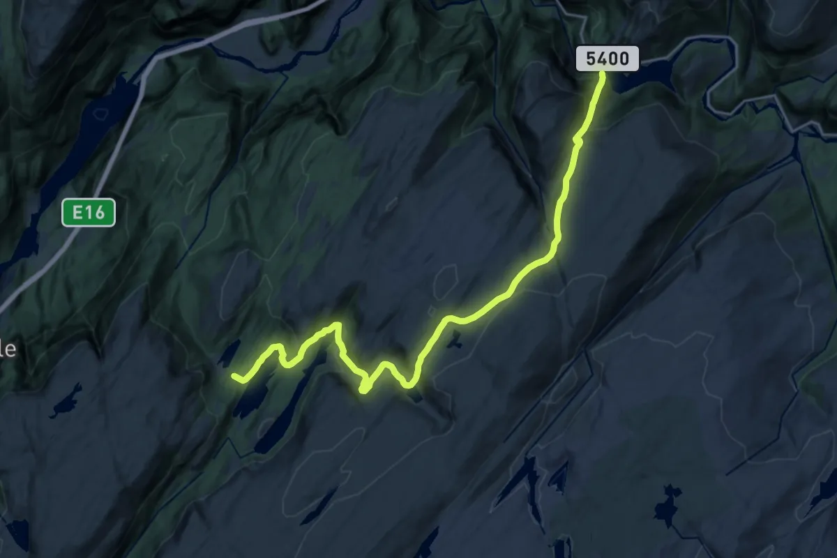
Medium · Trail
Vatnastølen - Storfossen
15.5 km · ↑ 753 m · 5 h 17 min
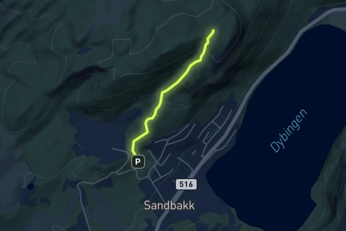
Demanding · Trail
Vatne - Vassfjellet
2.2 km · ↑ 186 m · 55 min
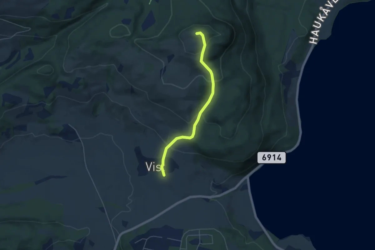
Easy · Trail
Våttåhaugen
2.8 km · ↑ 191 m · 1 h 4 min
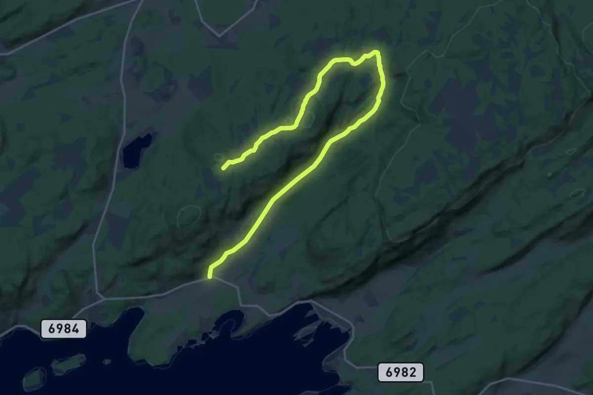
Medium · Trail
Våttåhaugen, Merkesmyra til Elnandalen
13.7 km · ↑ 256 m · 3 h 47 min
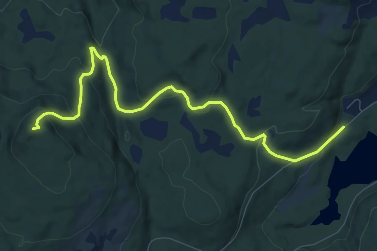
Medium · Trail
Våttån fra Ilhaugen
6.0 km · ↑ 333 m · 2 h 8 min
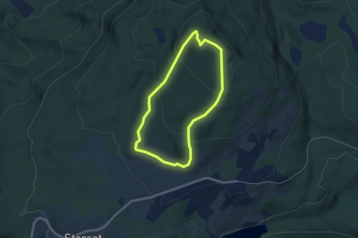
Easy · Trail
Våttån fra Skagset
4.5 km · ↑ 234 m · 1 h 34 min
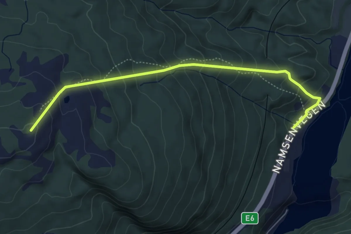
Demanding · Trail
Vattatuva
3.4 km · ↑ 330 m · 1 h 31 min
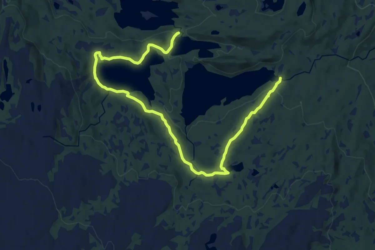
Medium · Trail
Våtvatnet rundt
7.0 km · ↑ 92 m · 1 h 58 min
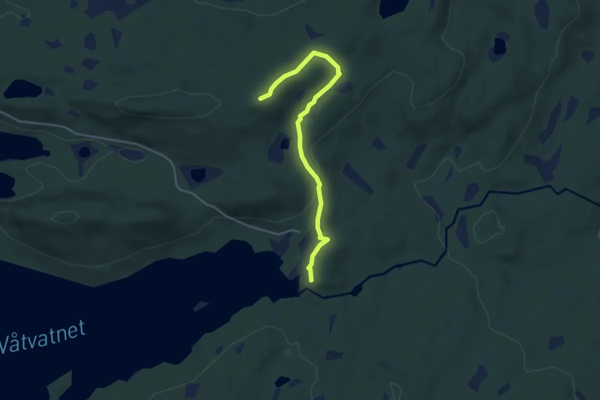
Medium · Trail
Våtvatnet rundt
2.5 km · ↑ 58 m · 44 min
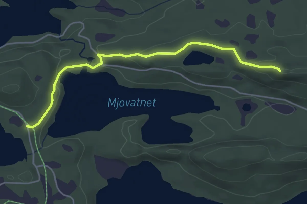
Medium · Trail
Våtvatnet rundt
3.0 km · ↑ 72 m · 51 min
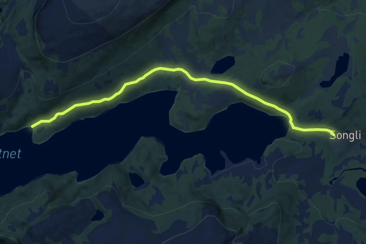
Easy · Trail
Våvasslia
8.0 km · ↑ 182 m · 2 h 16 min
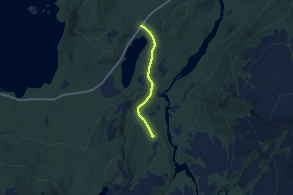
Easy · Trail
Veabakken
3.4 km · ↑ 38 m · 53 min
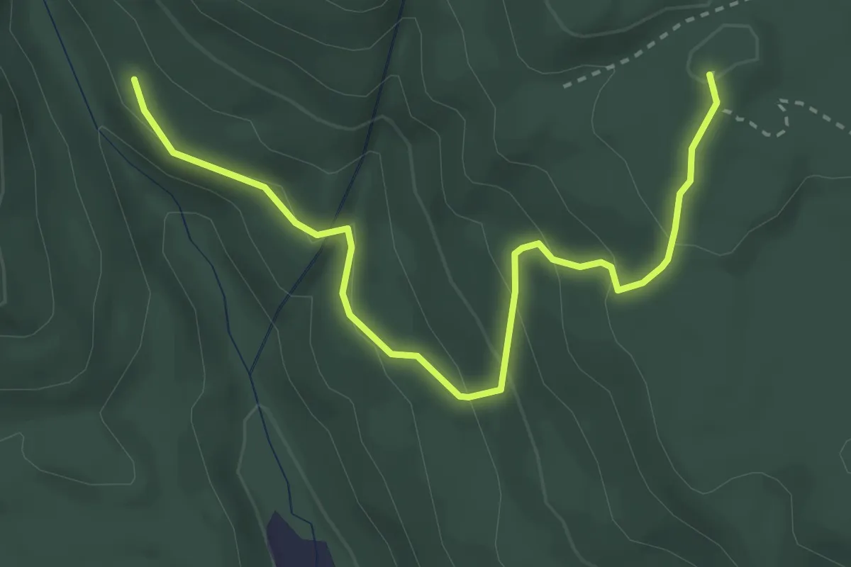
Medium · Trail
Vealøskapellet-Uroa
2.6 km · ↑ 162 m · 58 min
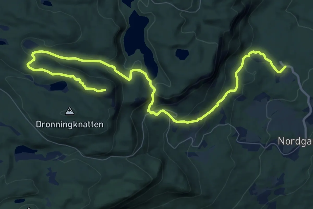
Medium · Trail
Vealøysa
7.7 km · ↑ 388 m · 2 h 40 min
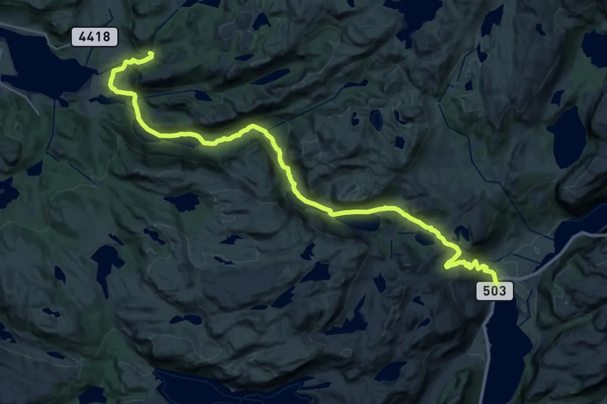
Demanding · Trail
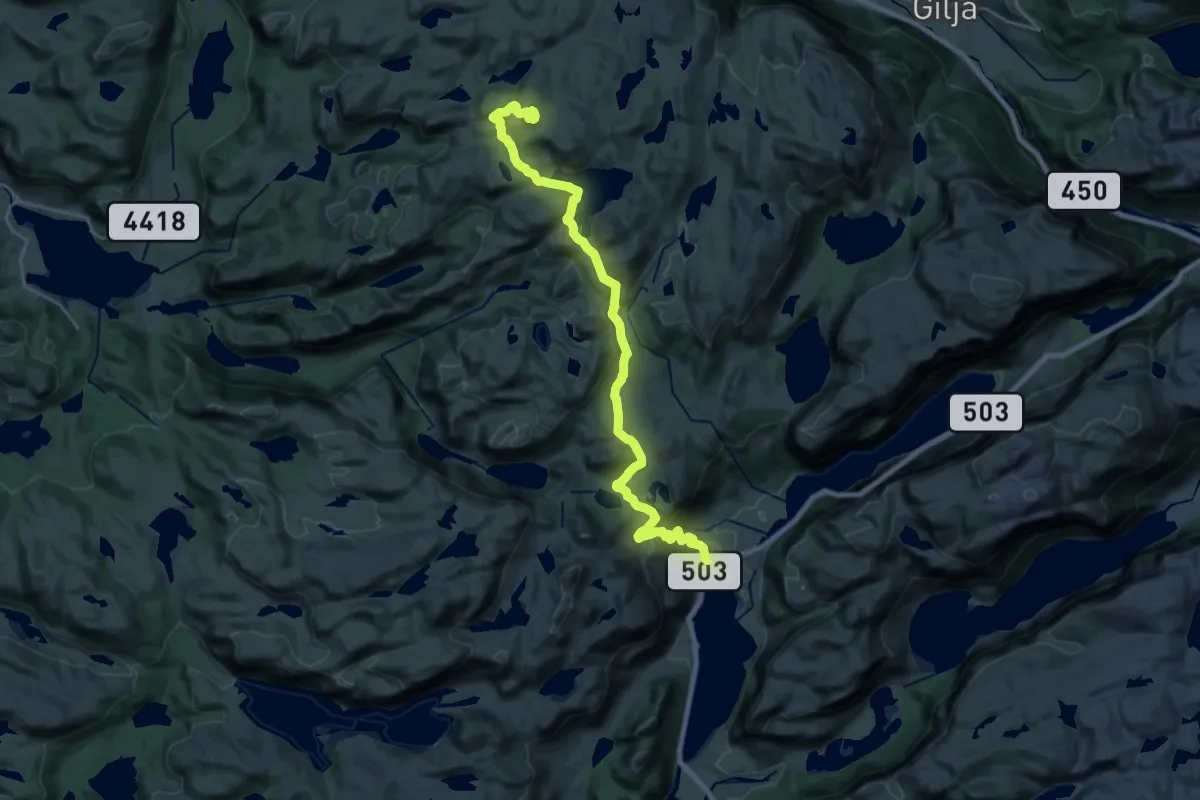
Veen - Madla
21.1 km · ↑ 738 m · 6 h 35 min
Demanding · Summit
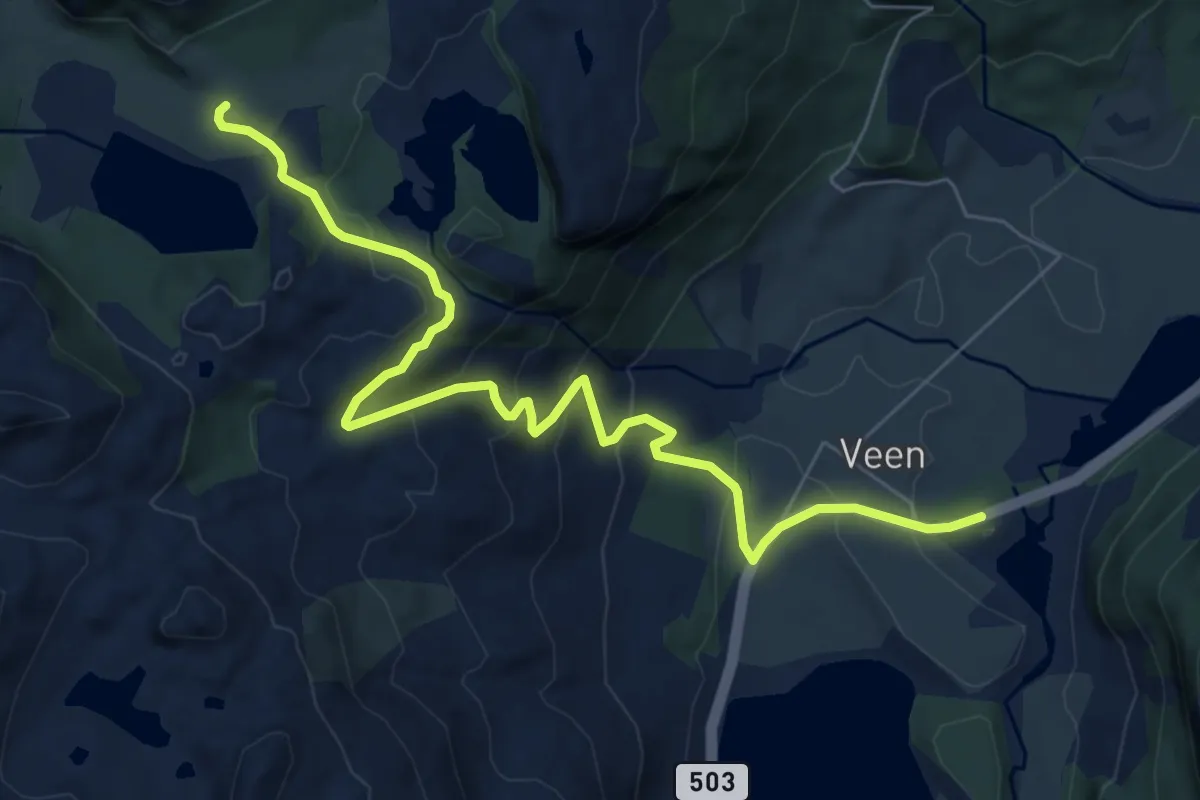
Veen - Vådlandsknuten
18.1 km · ↑ 730 m · 5 h 51 min
Medium · Trail
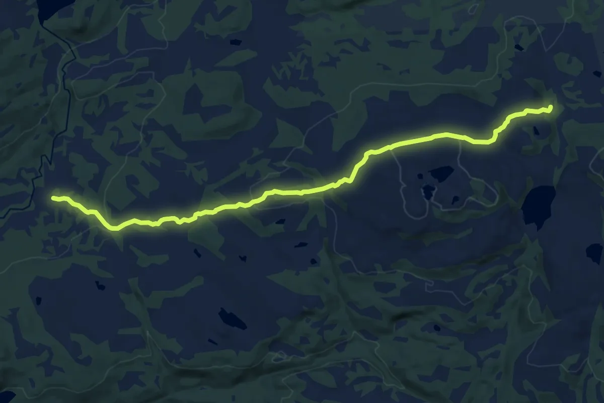
Veen - Vargastølen
5.9 km · ↑ 304 m · 2 h 3 min
Medium · Trail
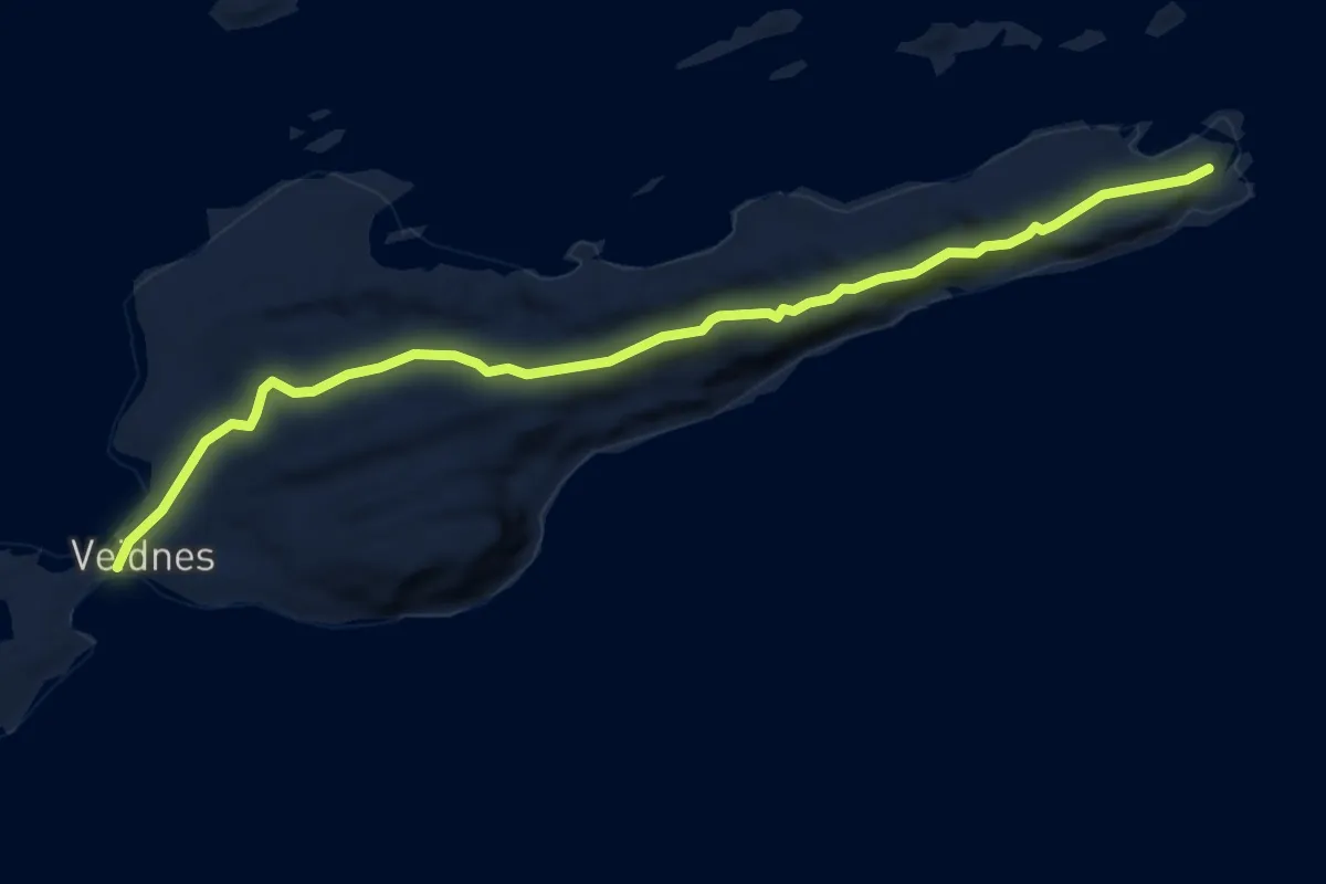
Vegenden-Karmhussetran
11.4 km · ↑ 328 m · 3 h 24 min
Medium · Trail
Veidnesodden
5.8 km · ↑ 149 m · 1 h 42 min
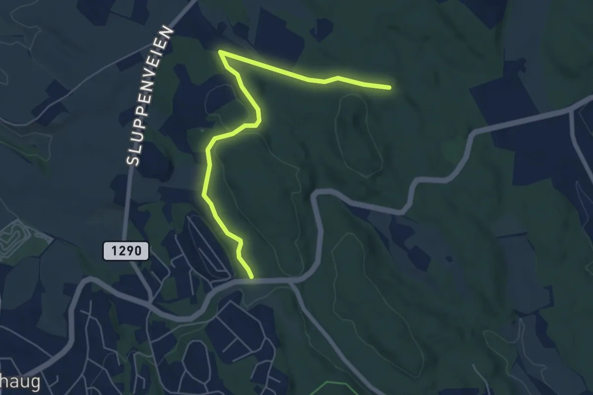
Easy · Trail
Veikryss - Verpet
4.1 km · ↑ 61 m · 1 h 7 min
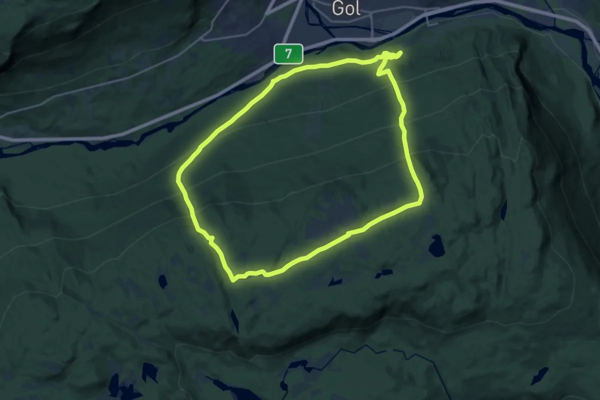
Medium · Trail
Veikulnatten
12.1 km · ↑ 785 m · 4 h 43 min
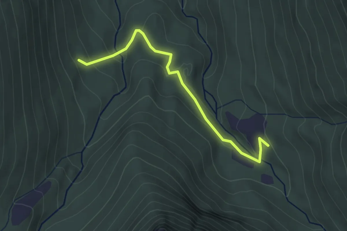
Demanding · Trail
Velleseter-Patchellhytta gjennom Brunstaddalen
2.6 km · ↑ 90 m · 48 min
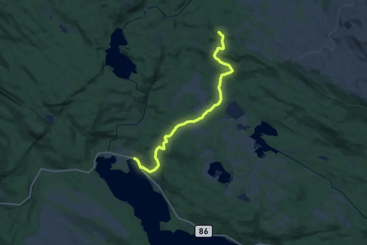
Medium · Trail
Veltasetra fra Nordhus
14.3 km · ↑ 368 m · 4 h 11 min
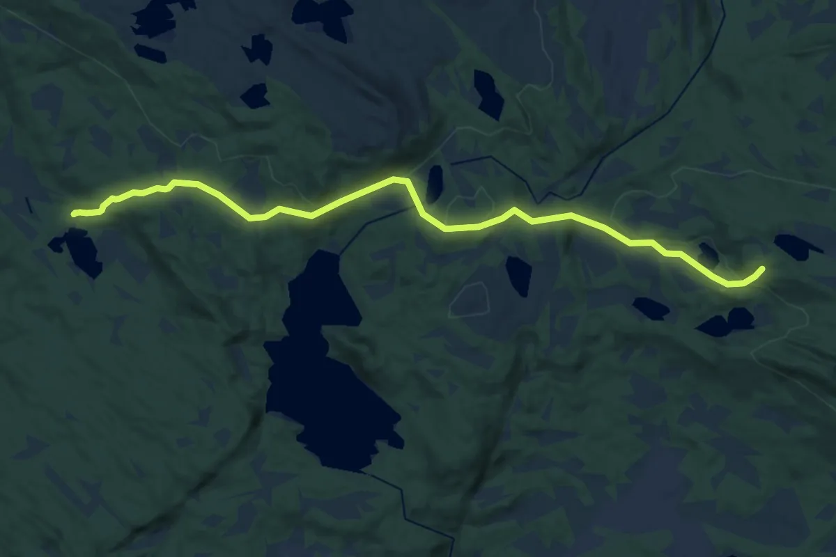
Medium · Trail
Veltasetra fra Nordlia
10.7 km · ↑ 277 m · 3 h 8 min
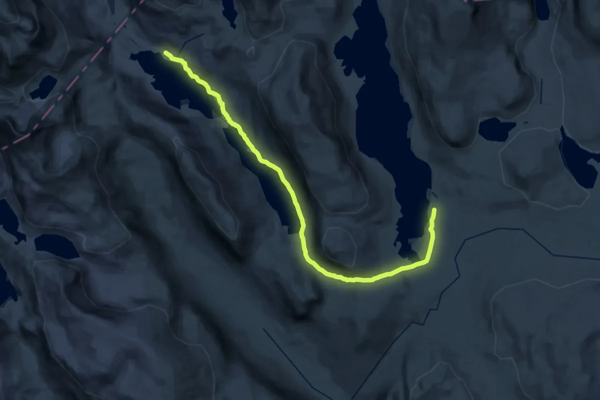
Demanding · Cabin
Veltdalshytta-Torsbu
22.6 km · ↑ 478 m · 6 h 22 min
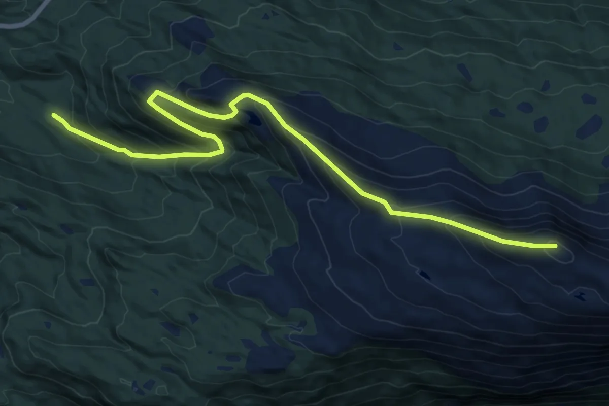
Medium · Trail
Velteplassen–Hornfjellet/Skålefjellet
8.9 km · ↑ 681 m · 3 h 35 min
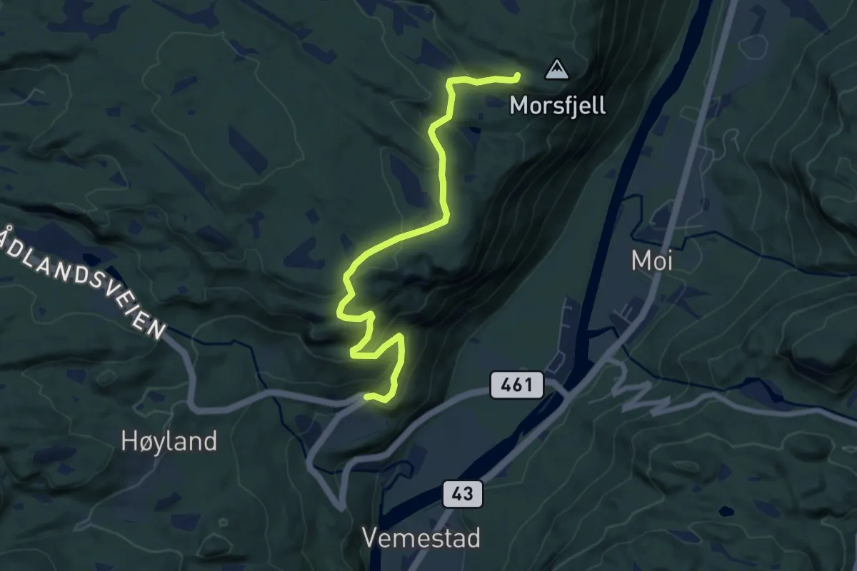
Easy · Trail
Vemestad-Morsfjellet
5.4 km · ↑ 263 m · 1 h 50 min
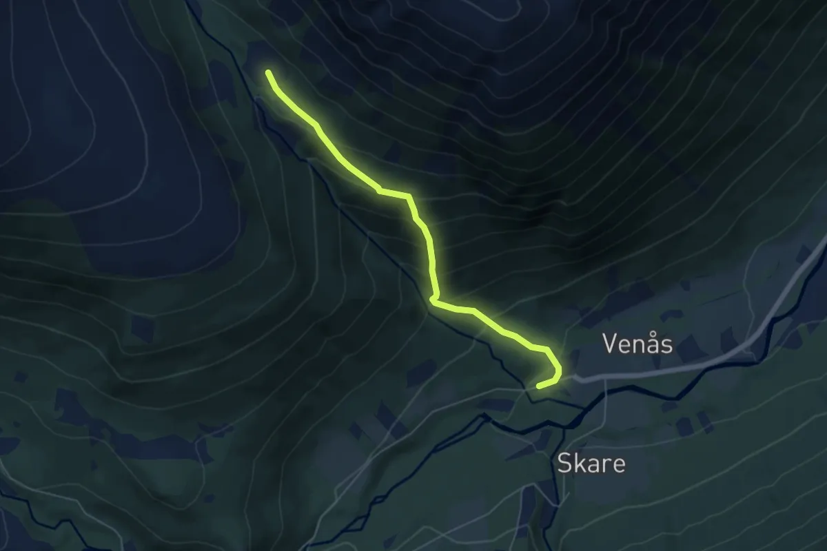
Medium · Trail
Venåsdalsstølen
3.6 km · ↑ 380 m · 1 h 40 min
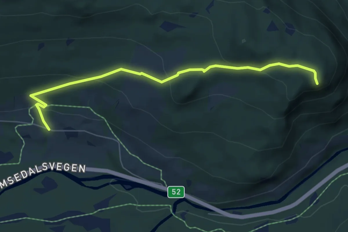
Easy · Trail
Venåshøvda
4.4 km · ↑ 215 m · 1 h 30 min
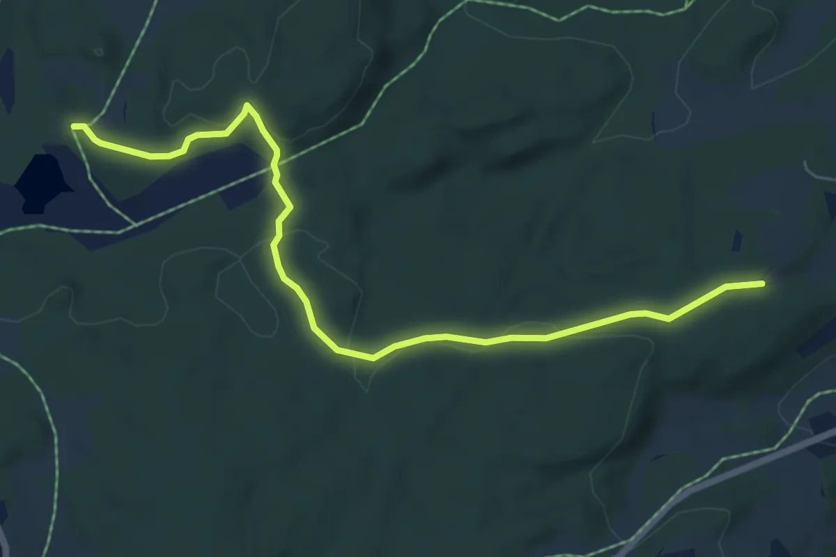
Easy · Trail
Venåsstiene 2
4.1 km · ↑ 52 m · 1 h 5 min
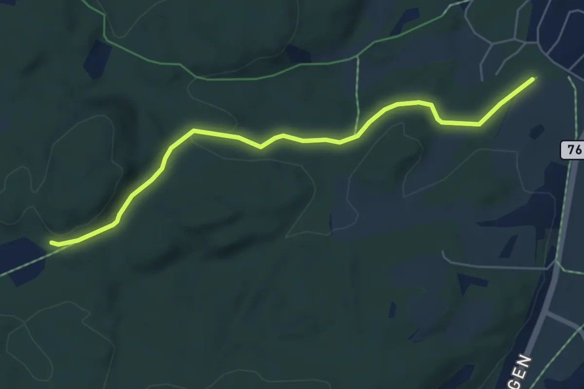
Easy · Trail
Venåsstiene 3
3.4 km · ↑ 60 m · 56 min
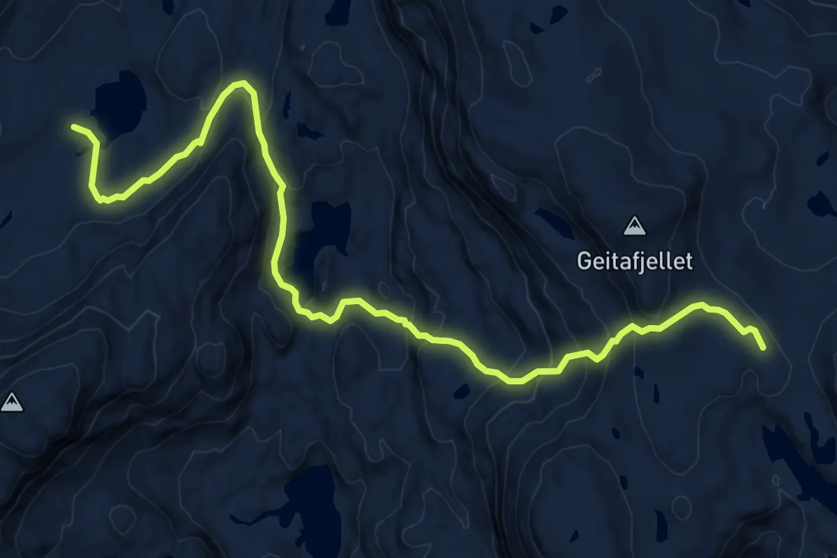
Medium · Cabin
Vending-Breidablik
8.9 km · ↑ 490 m · 3 h 10 min
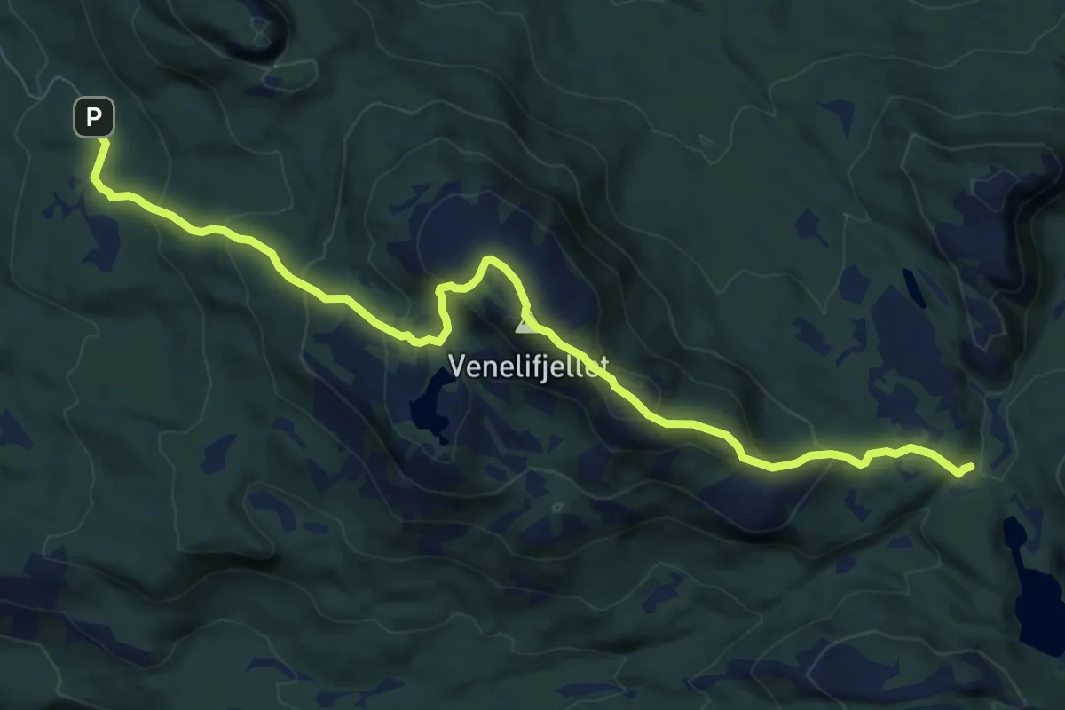
Demanding · Trail
Venelifjellet sør
6.9 km · ↑ 469 m · 2 h 39 min
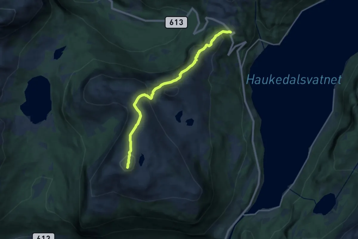
Medium · Trail
Venevassegga
9.3 km · ↑ 491 m · 3 h 15 min
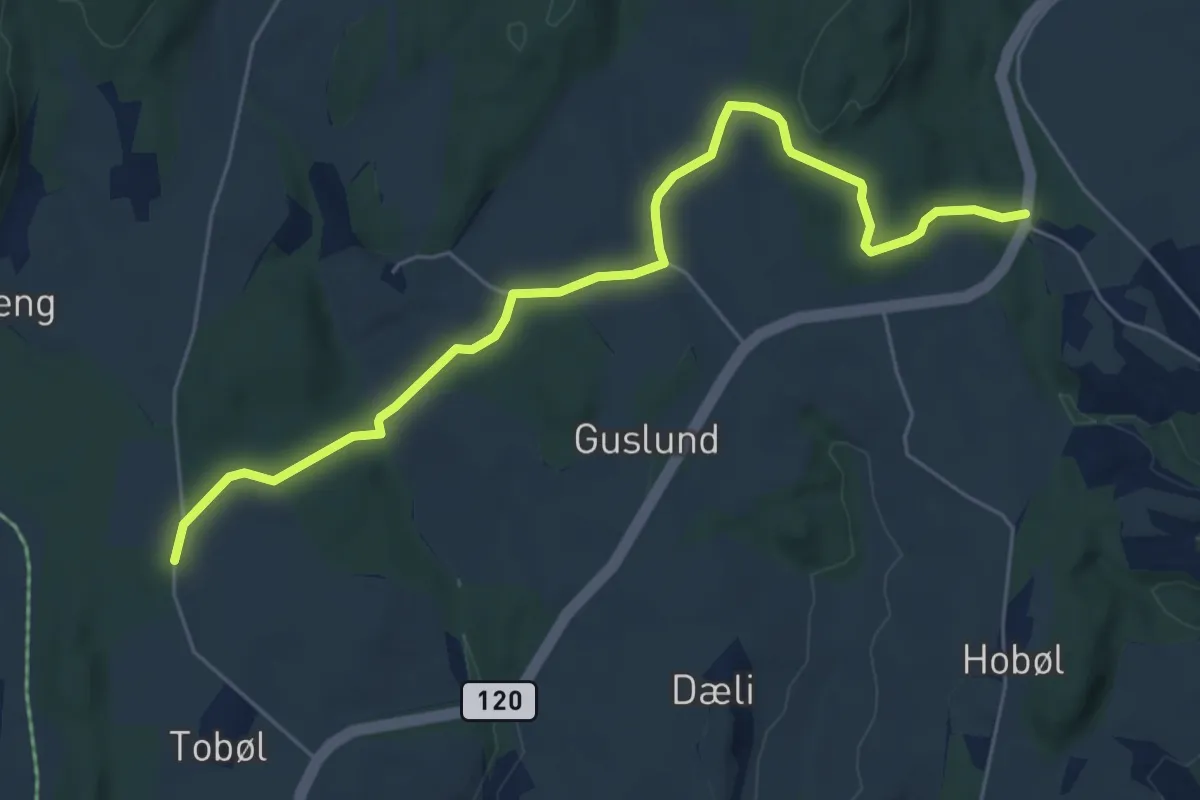
Easy · Trail
Veng-Skøyen
4.7 km · ↑ 86 m · 1 h 17 min
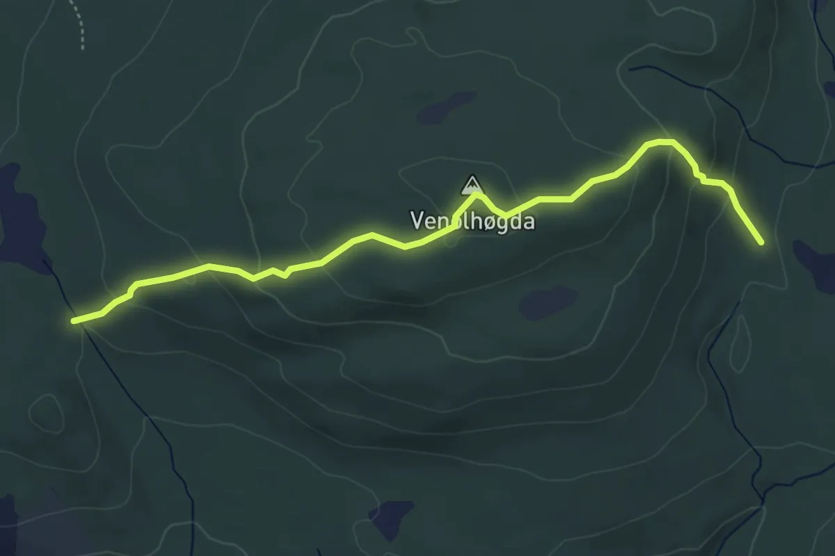
Easy · Trail
Venholen - til 9
3.7 km · ↑ 200 m · 1 h 18 min
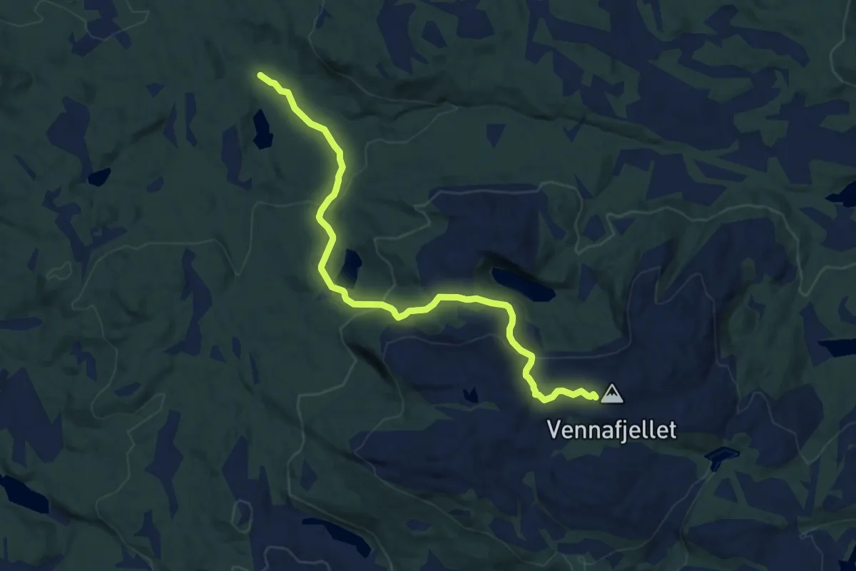
Medium · Trail
Vennafjellet
7.0 km · ↑ 371 m · 2 h 28 min
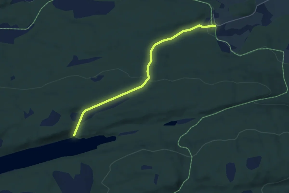
Easy · Trail
Vennesvatnet
2.8 km · ↑ 85 m · 51 min
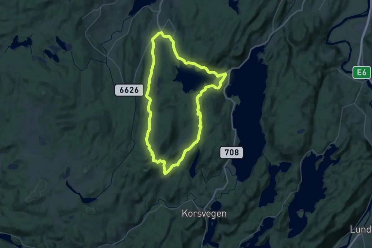
Demanding · Trail
Venn - Sillkleiva - Vassbygda
22.4 km · ↑ 485 m · 6 h 39 min
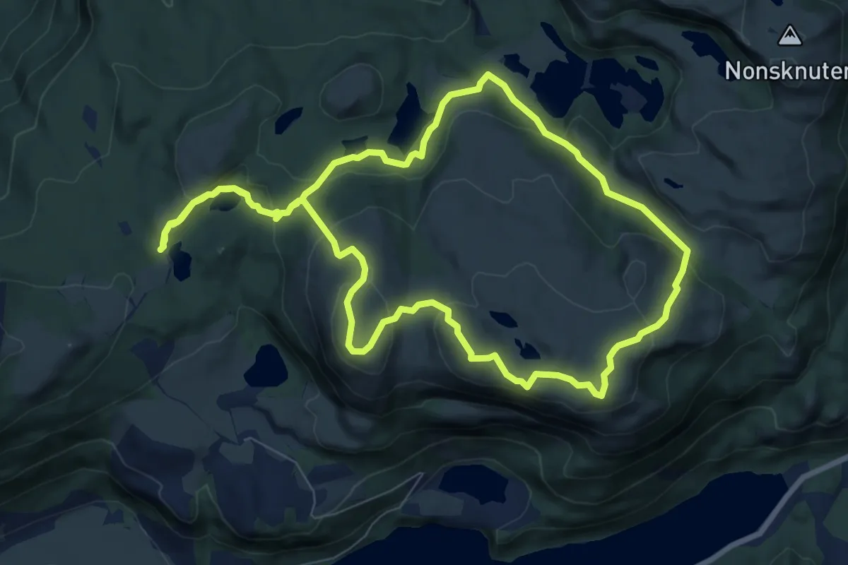
Easy · Summit
Veraland-Husafjellet-Svedalen rundtur
6.1 km · ↑ 249 m · 2 h 4 min
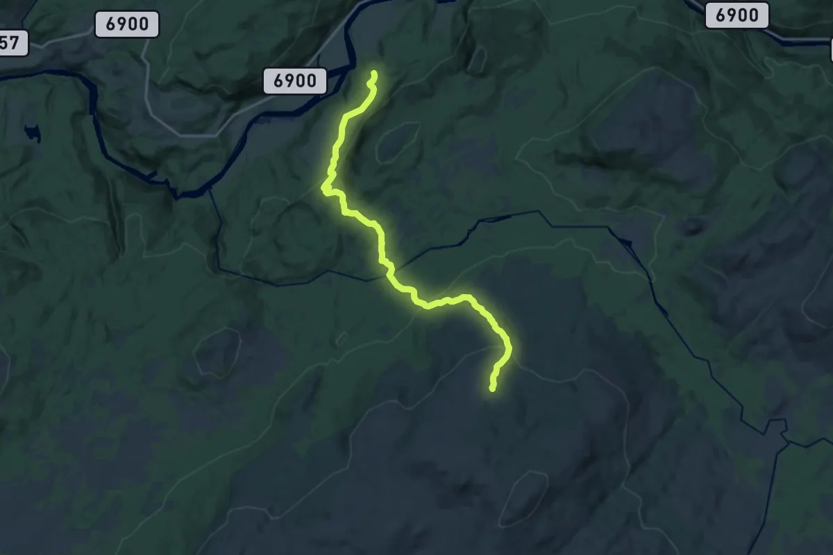
Medium · Trail
Verdal geografiske midtpunkt
11.0 km · ↑ 550 m · 3 h 48 min
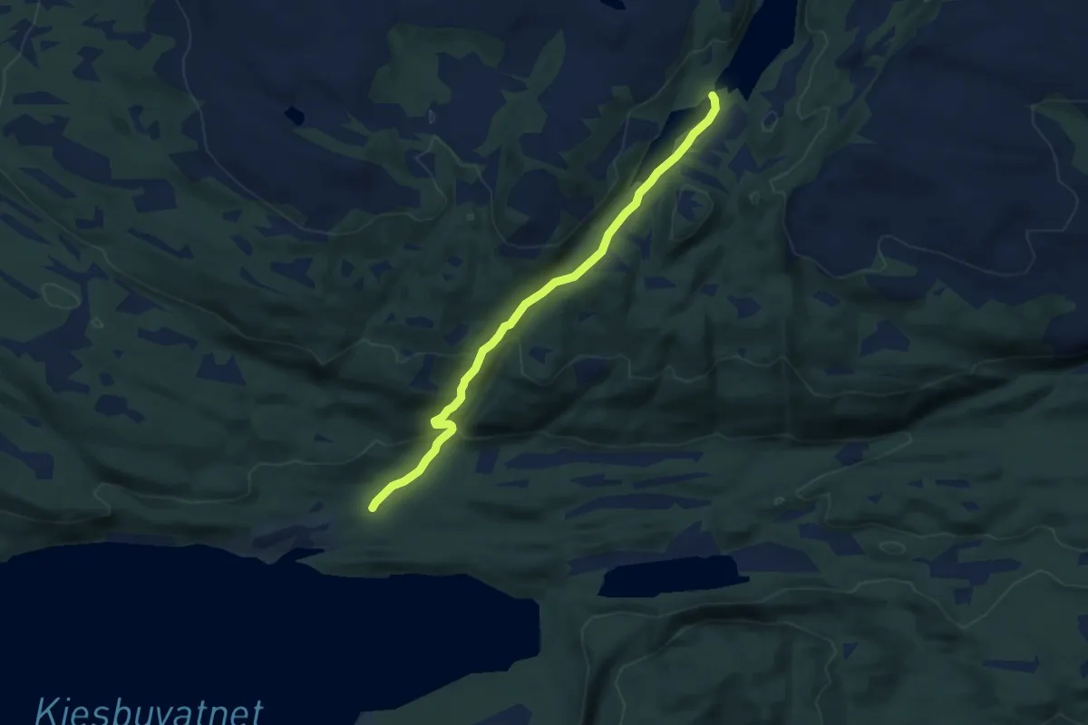
Easy · Trail
Verdal geografiske midtpunkt
5.1 km · ↑ 231 m · 1 h 43 min
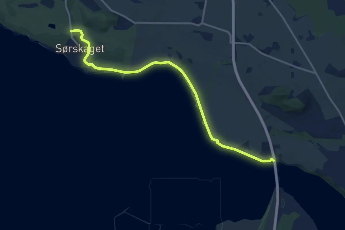
Medium · Trail
Verdal stasjon, langs elvepromenaden til Trones t/r
6.1 km · ↑ 20 m · 1 h 30 min
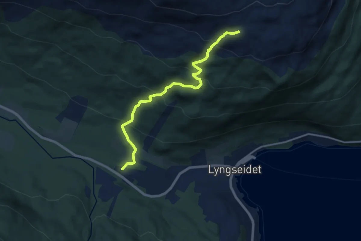
Medium · Trail
Verdens ende/Eidnasen
4.6 km · ↑ 406 m · 1 h 59 min
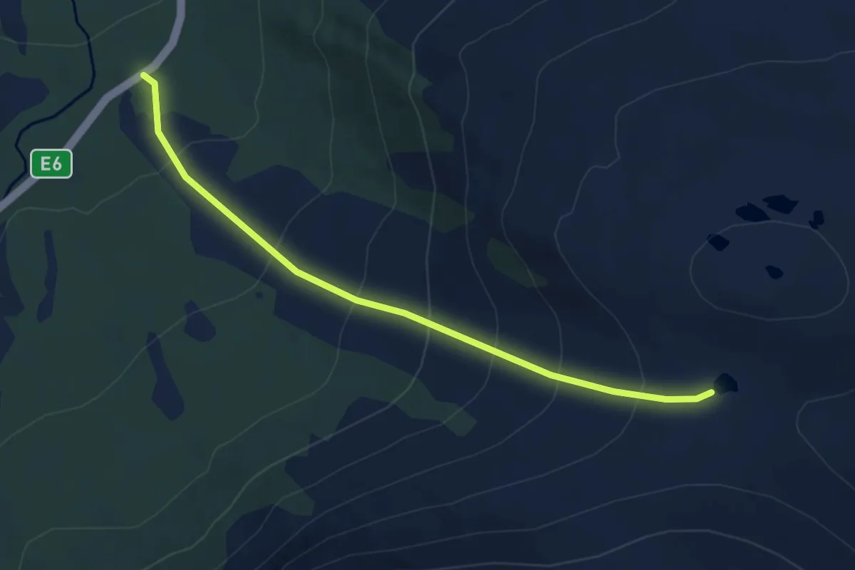
Easy · Trail
Verdensvaet
3.6 km · ↑ 352 m · 1 h 37 min
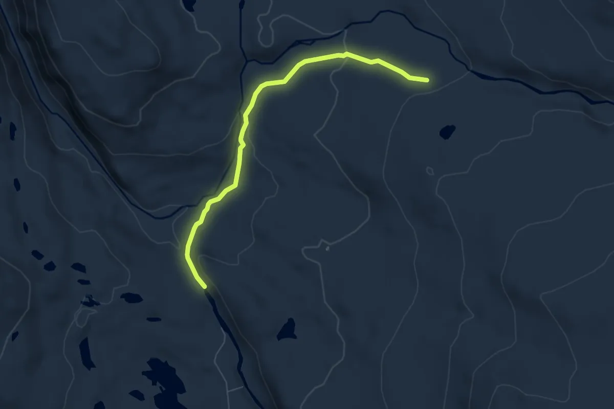
Easy · Trail
Verket
4.3 km · ↑ 157 m · 1 h 22 min
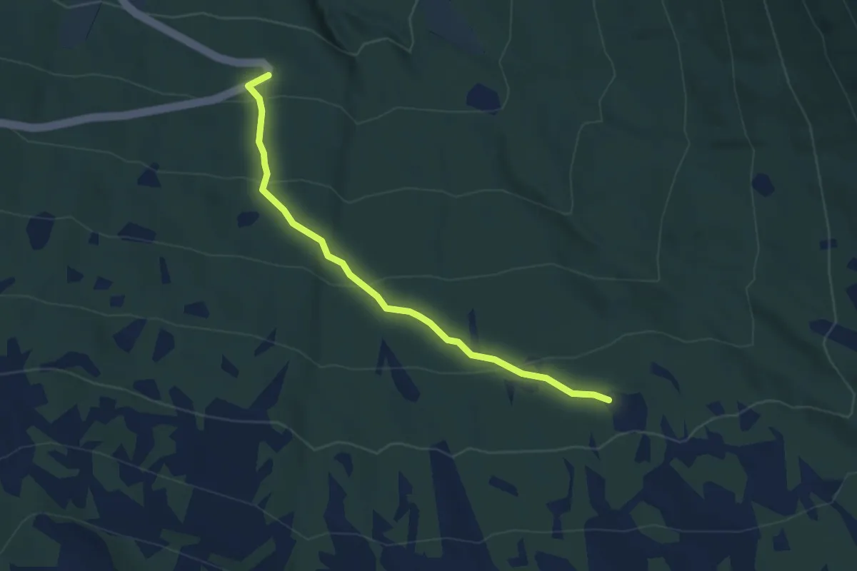
Easy · Trail
Verlostøylen
3.1 km · ↑ 195 m · 1 h 9 min