Trails in Norway
7,452 hiking trails, each with its route, climb, walking time and grade.
All trails, page 134 of 156
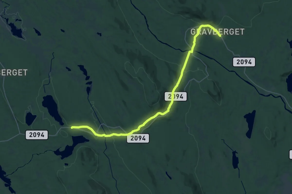
Demanding · Trail
Gravberget – Bølsjøsætra
21.6 km · ↑ 556 m · 6 h 18 min
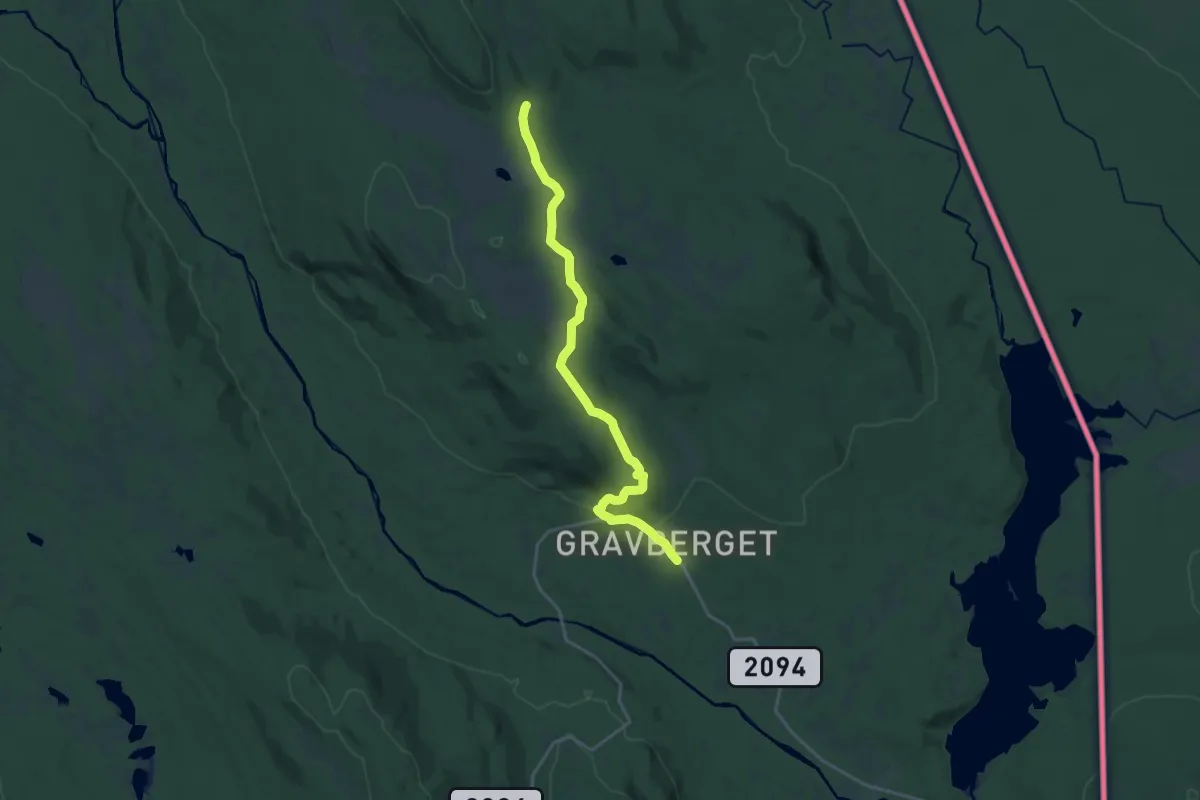
Medium · Trail
Gravberget – Smalberget
14.3 km · ↑ 325 m · 4 h 4 min
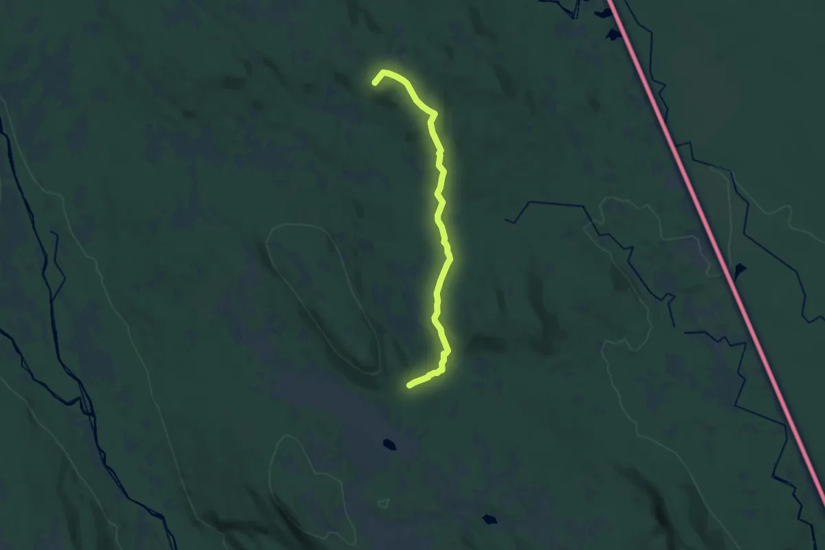
Medium · Trail
Gjestgiveriet – Smalberget
10.5 km · ↑ 308 m · 3 h 9 min
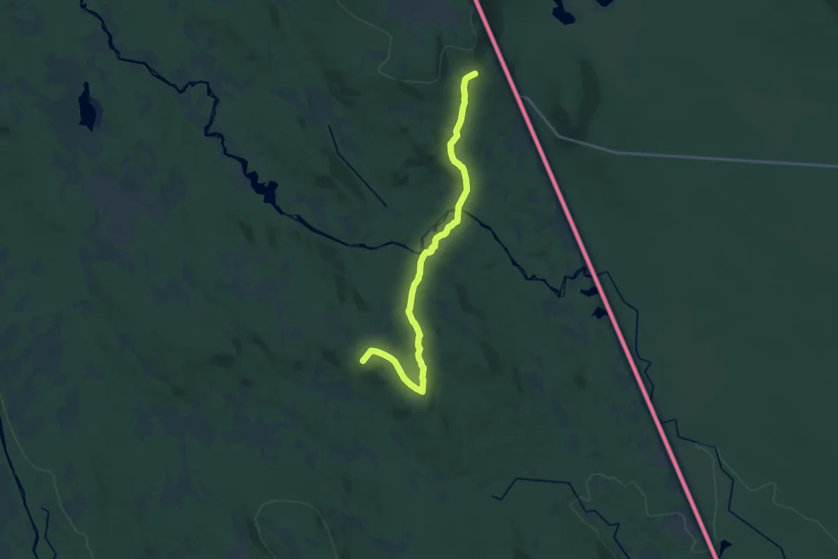
Medium · Trail
Gjestgiveriet – Bråten
11.9 km · ↑ 302 m · 3 h 27 min
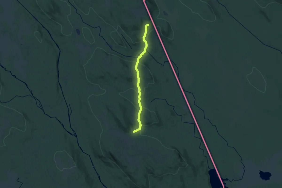
Demanding · Trail
Smalberget – Bråten
18.1 km · ↑ 496 m · 5 h 20 min
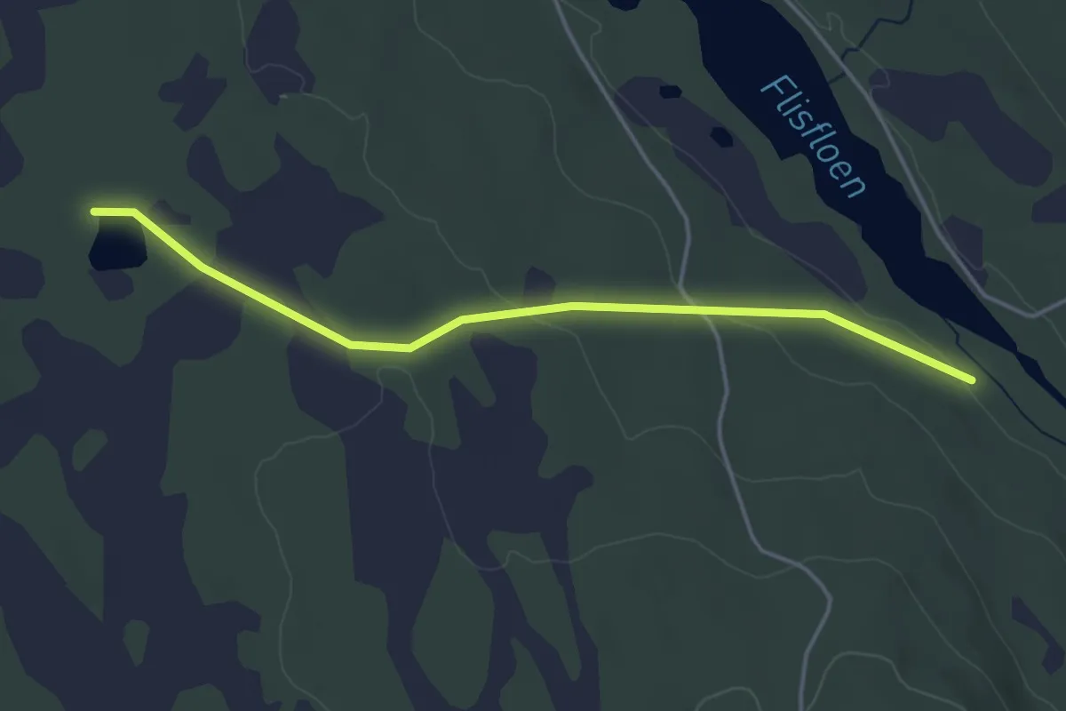
Easy · Trail
Flisflodammen – Steintjennkoia
3.0 km · ↑ 62 m · 51 min
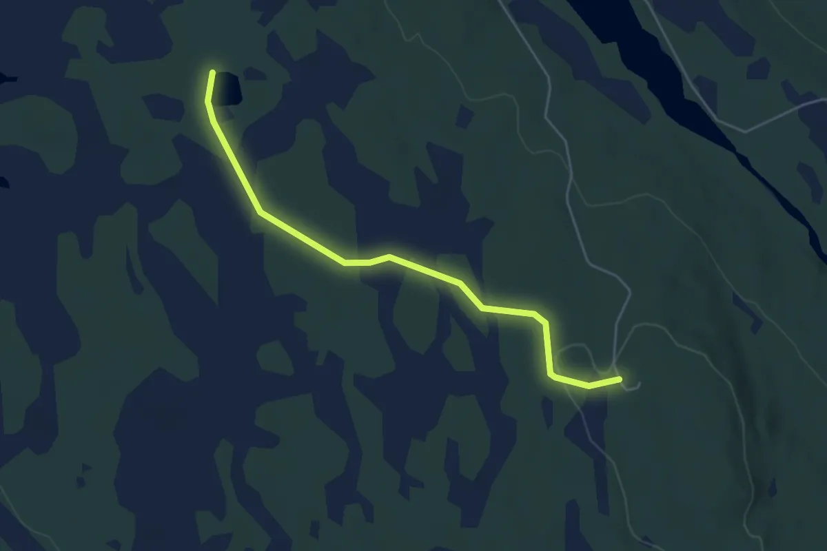
Easy · Trail
Åker – Steintjennkoia
3.4 km · ↑ 29 m · 51 min
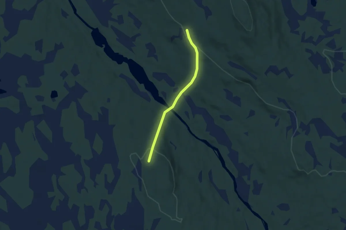
Easy · Cabin
Åker – Flisberget
3.7 km · ↑ 178 m · 1 h 15 min
Easy · Trail
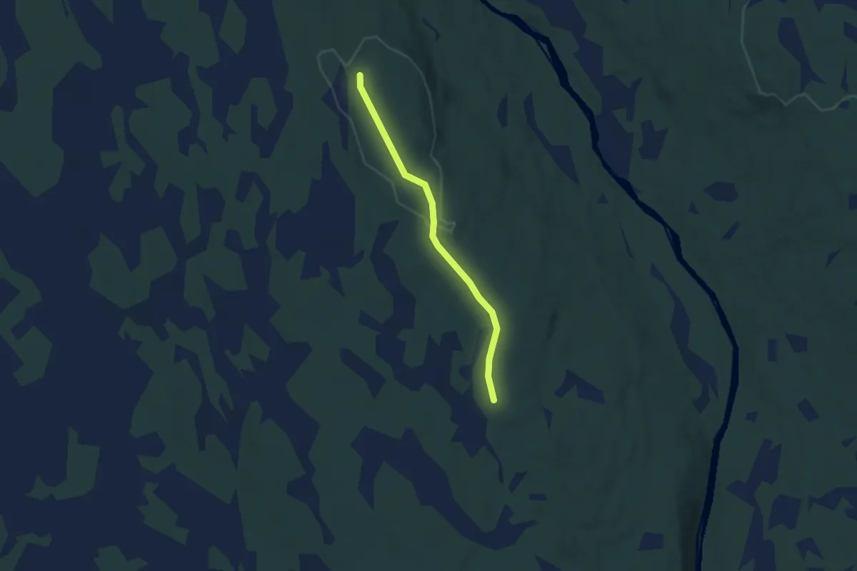
Åker – Orrleikkoia
3.5 km · ↑ 44 m · 55 min
Easy · Trail
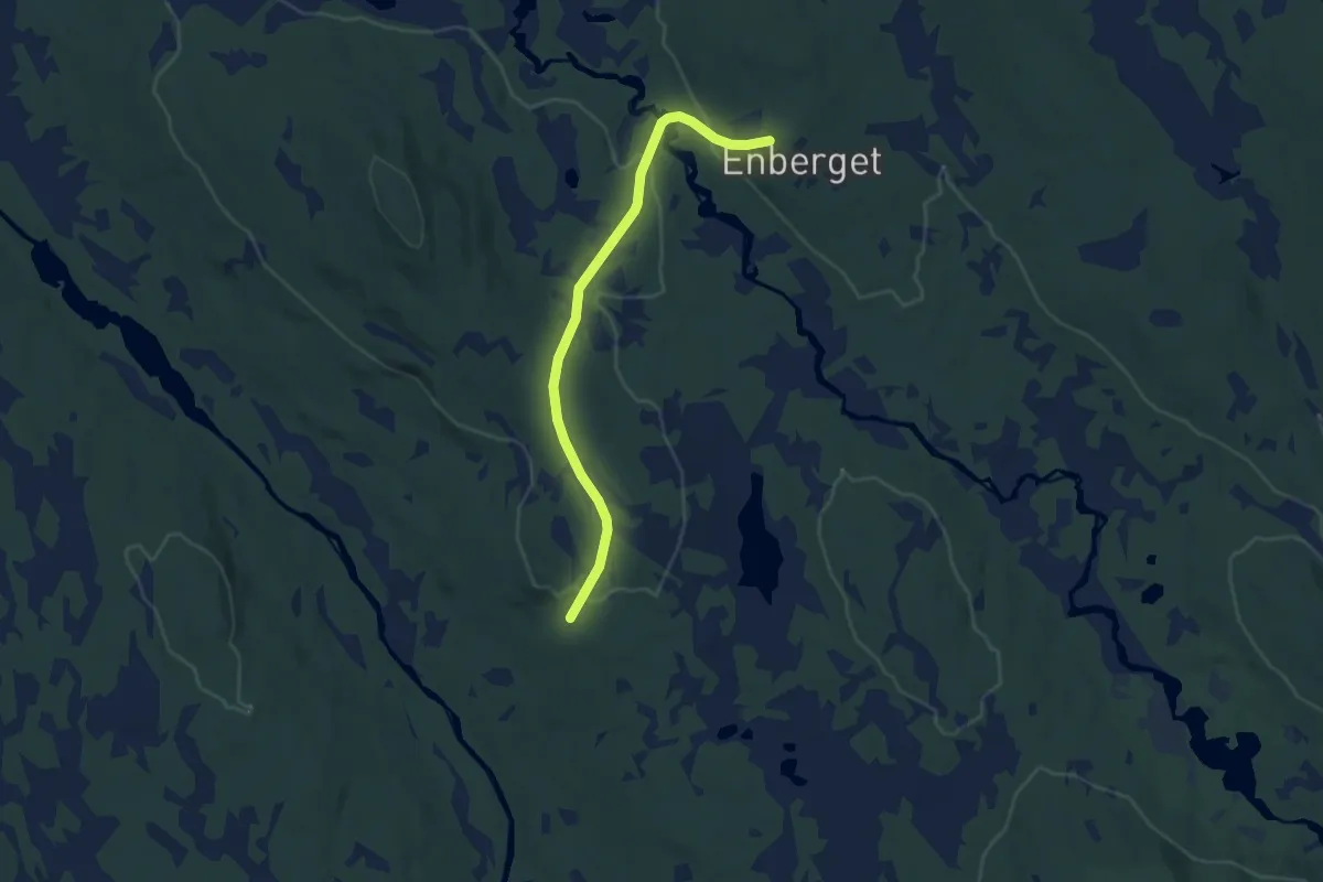
Enberget – Brenna
6.7 km · ↑ 140 m · 1 h 54 min
Demanding · Trail
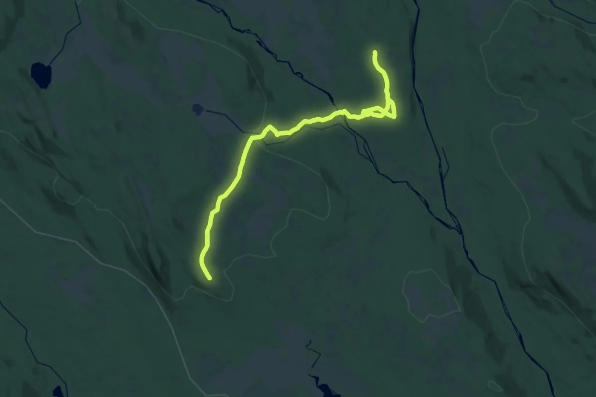
Rogstadkoia – Orrleikkoia
27.4 km · ↑ 292 m · 7 h 6 min
Demanding · Trail
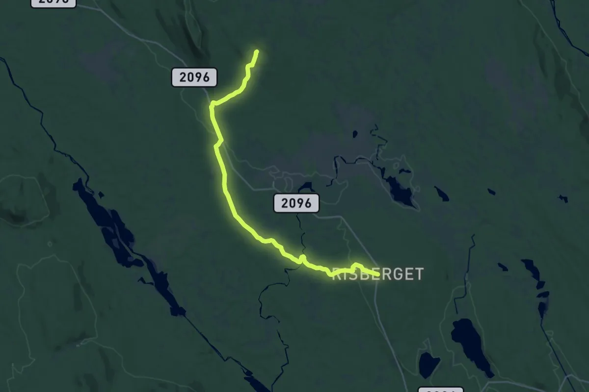
Rogstadkoia – Risberget
18.3 km · ↑ 265 m · 4 h 54 min
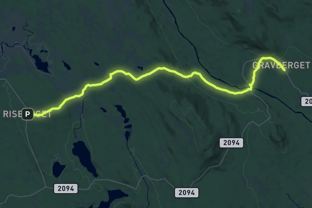
Demanding · Trail
Gravberget – Risberget
25.8 km · ↑ 434 m · 7 h 2 min
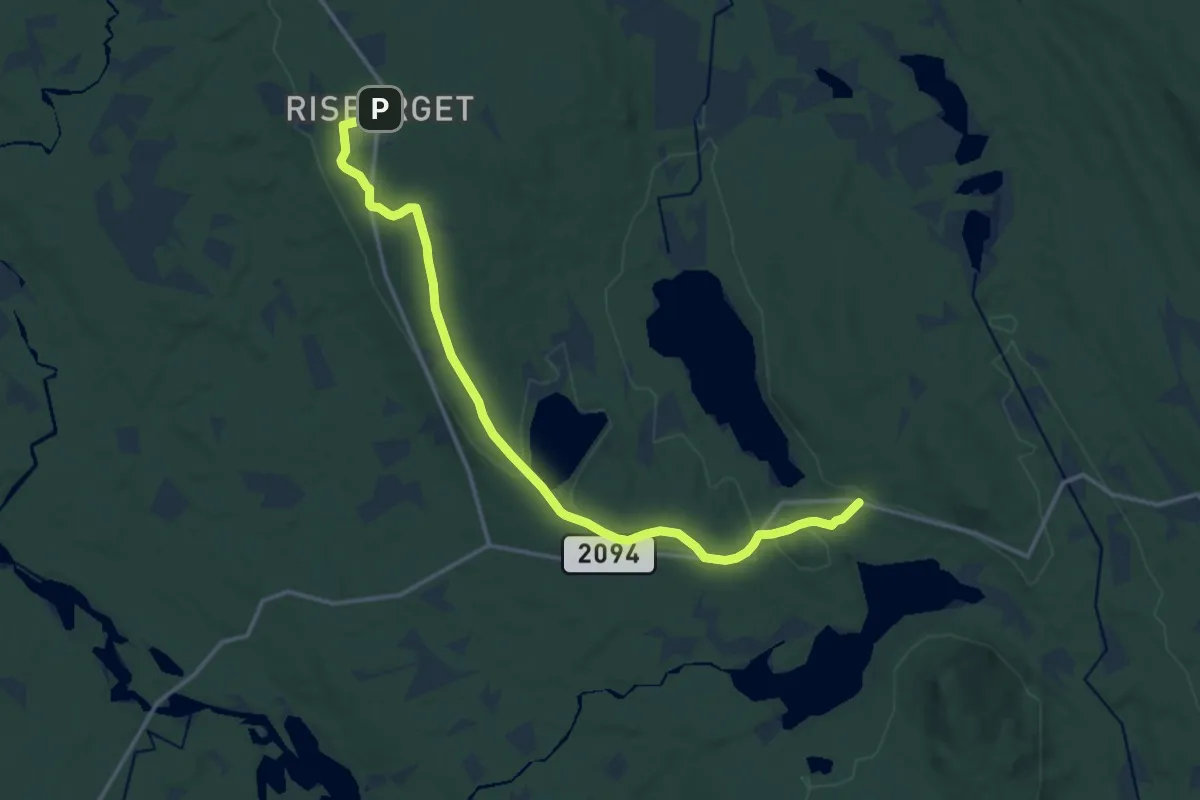
Medium · Trail
Bolsjøsæter – Risberget
11.7 km · ↑ 183 m · 3 h 10 min
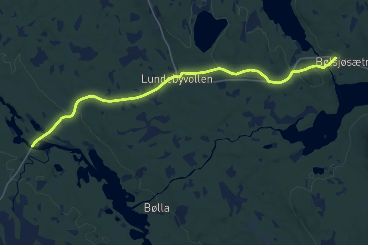
Medium · Trail
Bolsjøsæter – Holstad
10.9 km · ↑ 167 m · 2 h 56 min
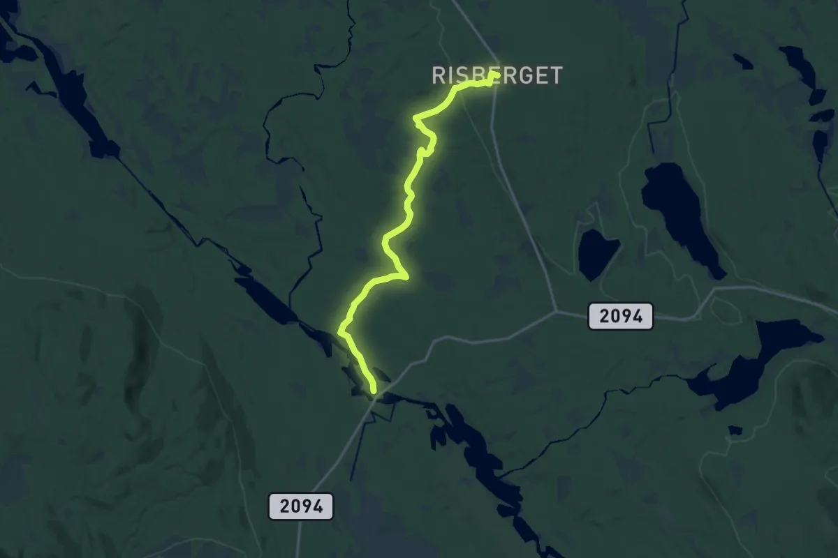
Medium · Trail
Risberget – Holstad
11.8 km · ↑ 153 m · 3 h 8 min
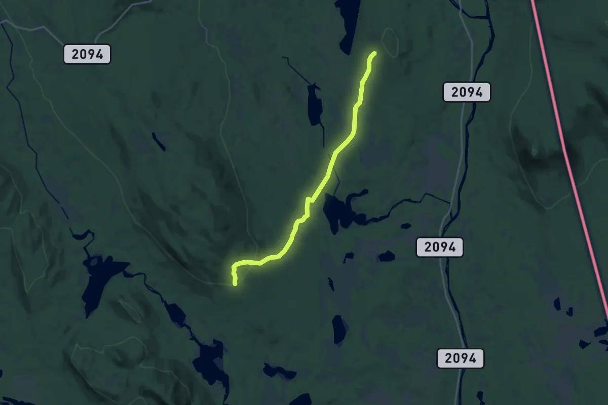
Medium · Cabin
Lindbergsætra – Høgsjøberget
12.3 km · ↑ 271 m · 3 h 30 min
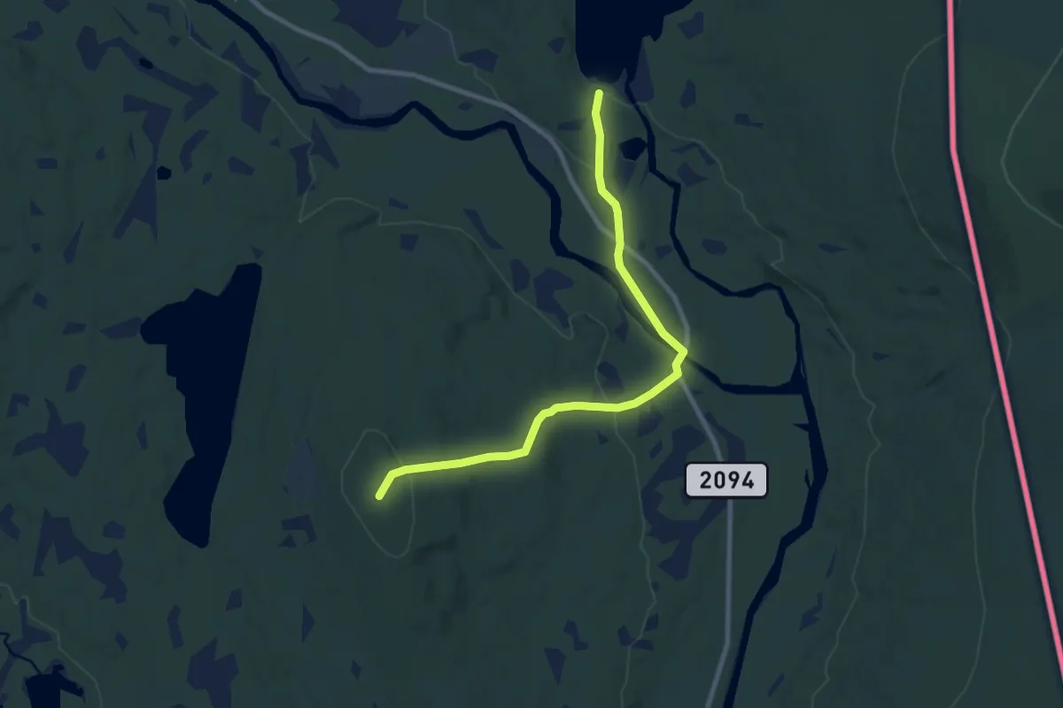
Easy · Summit
Haldammen sørøst – Høgsjøberget
6.3 km · ↑ 155 m · 1 h 49 min
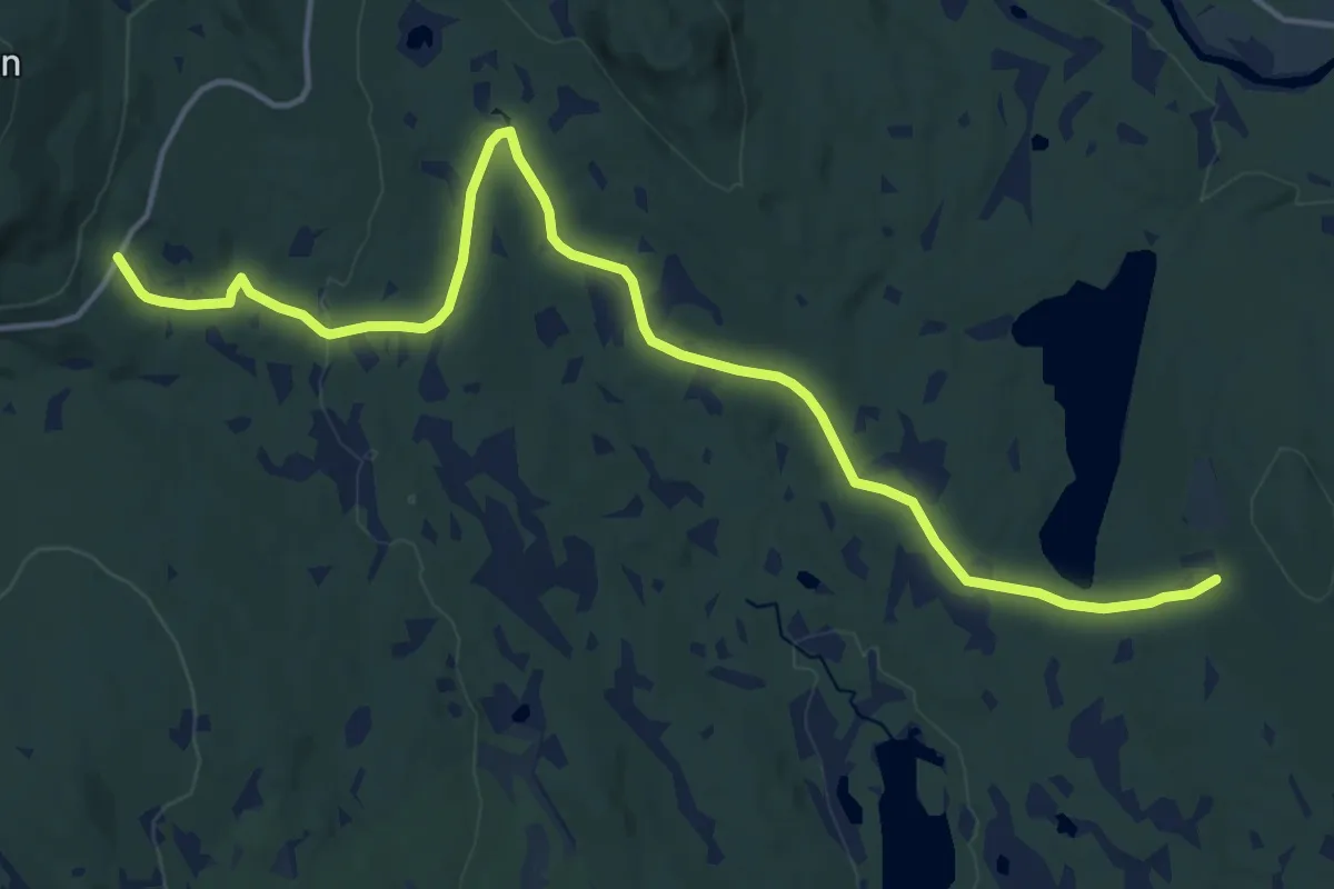
Medium · Cabin
Godakkord (sør) – Høgsjøberget
12.3 km · ↑ 236 m · 3 h 25 min
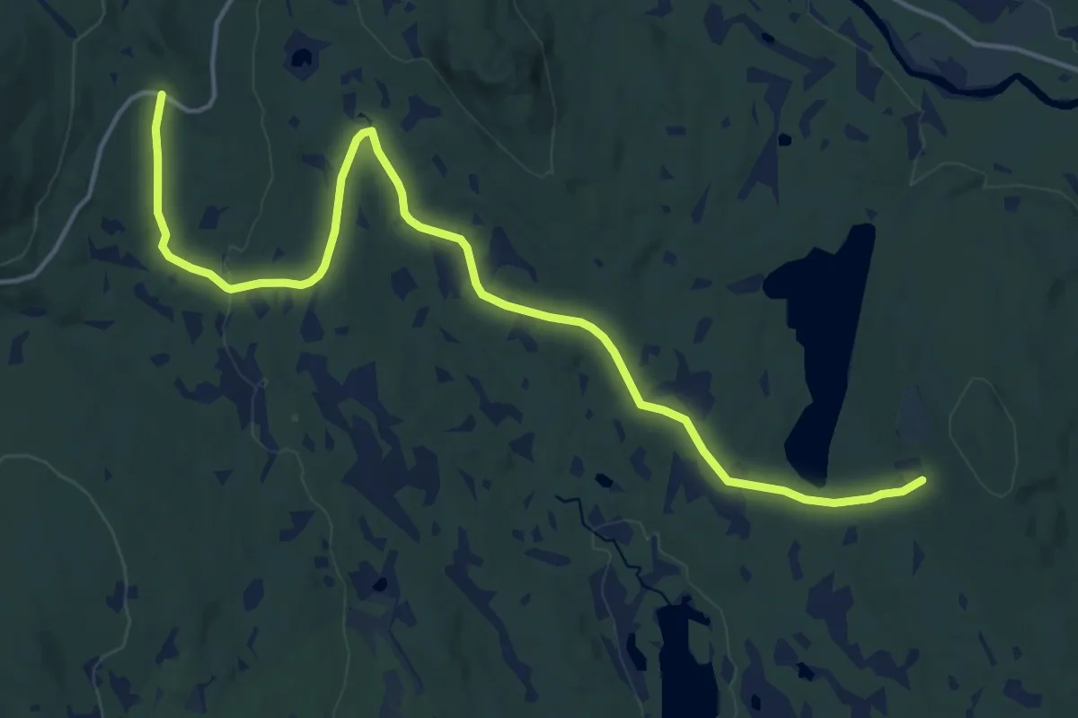
Medium · Cabin
Godakkord – Høgsjøberget
12.6 km · ↑ 208 m · 3 h 25 min
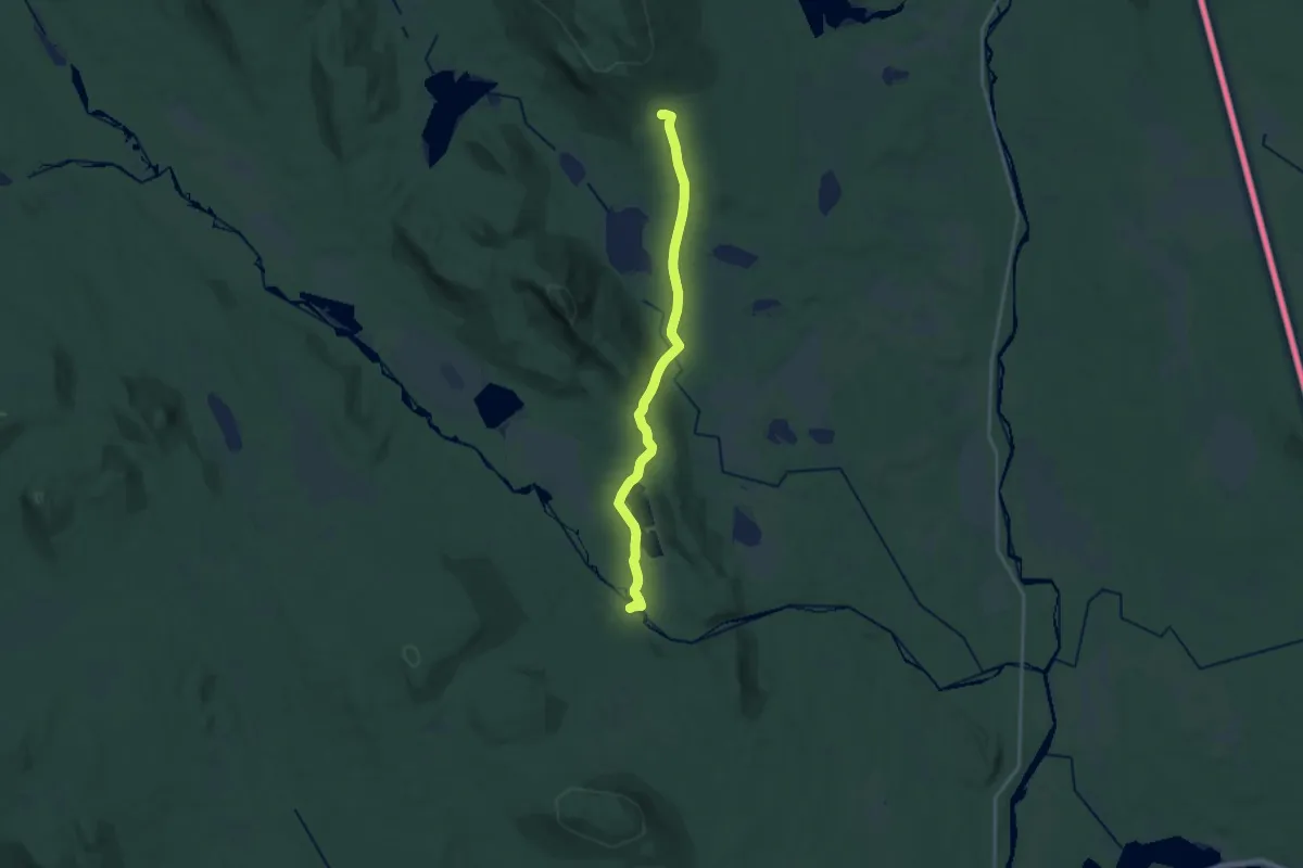
Medium · Trail
Kynndammen – Lindbergsætra
14.4 km · ↑ 271 m · 3 h 59 min
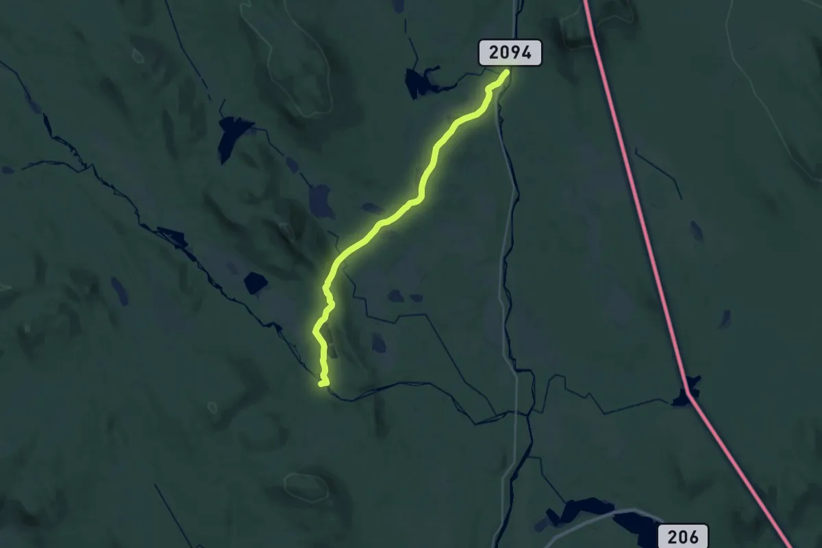
Demanding · Trail
Kynndammen – Reinvadet (vest)
21.5 km · ↑ 244 m · 5 h 36 min
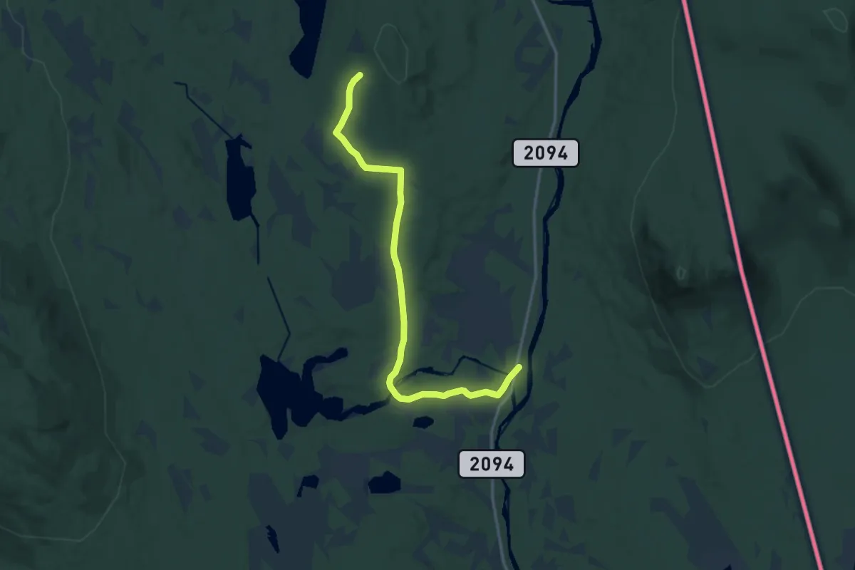
Medium · Cabin
Høgsjøberget – Reinvadet (vest)
10.5 km · ↑ 127 m · 2 h 45 min
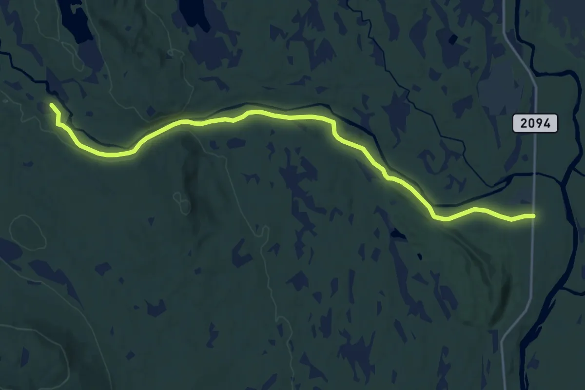
Medium · Trail
Kynndammen – Dal
12.1 km · ↑ 75 m · 3 h
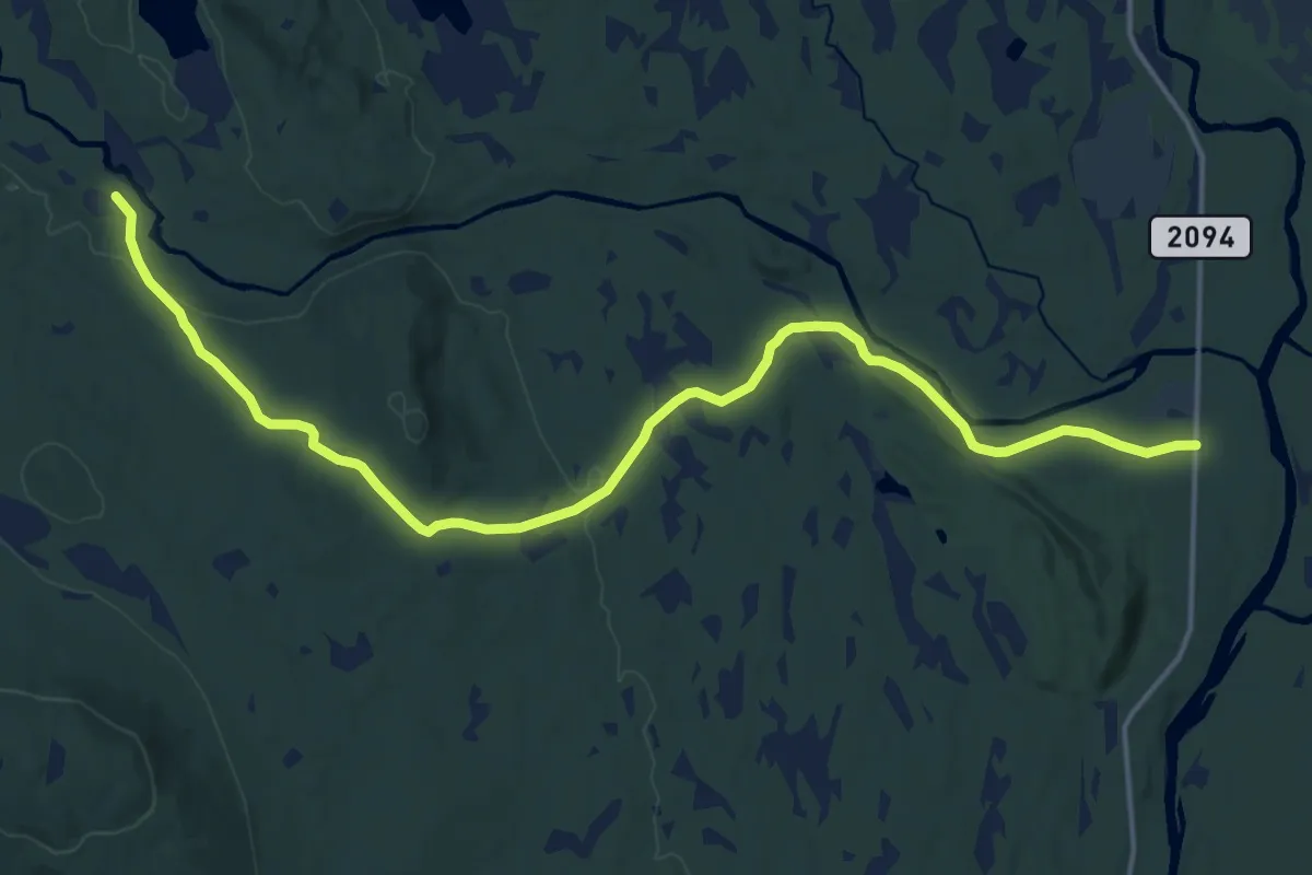
Medium · Trail
Kynndammen – Dal
13.3 km · ↑ 240 m · 3 h 40 min
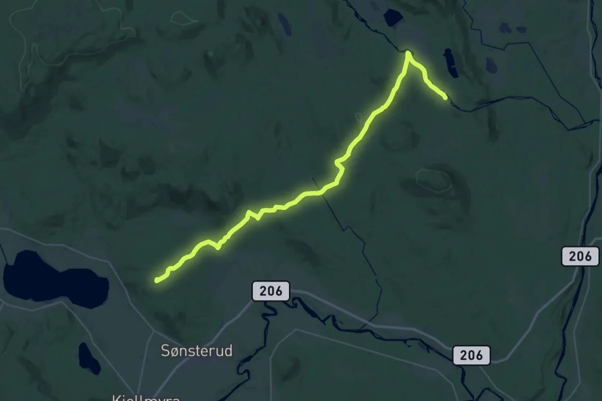
Demanding · Summit
Kynndammen – Gjesåsen
29.9 km · ↑ 639 m · 8 h 26 min
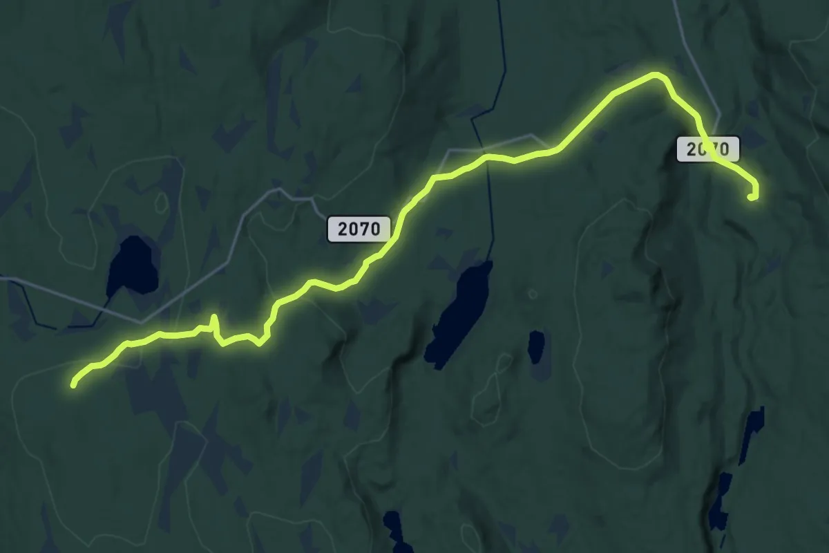
Medium · Trail
Dulpetorpet – Hundkjeften
17.9 km · ↑ 296 m · 4 h 52 min
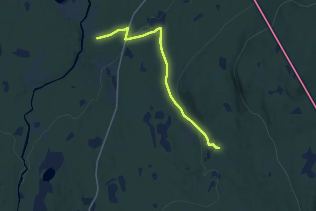
Easy · Trail
Lunde (Velta) – Furuberget
6.0 km · ↑ 165 m · 1 h 47 min
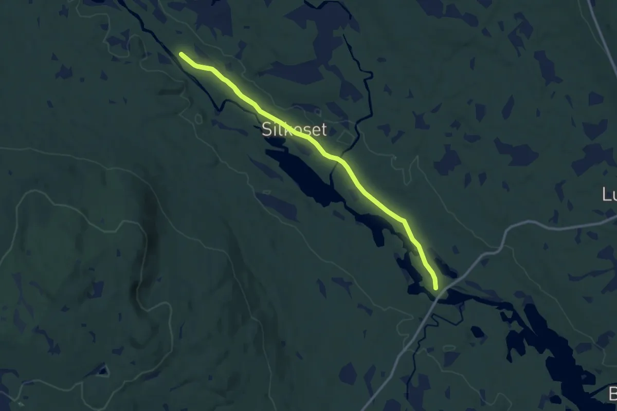
Medium · Trail
Holstad – Brattlund
8.9 km · ↑ 10 m · 2 h 8 min
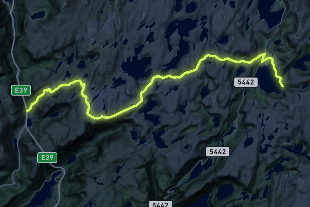
Demanding · Trail
Stordalen Fjellstove – Kringla
18.1 km · ↑ 582 m · 5 h 55 min
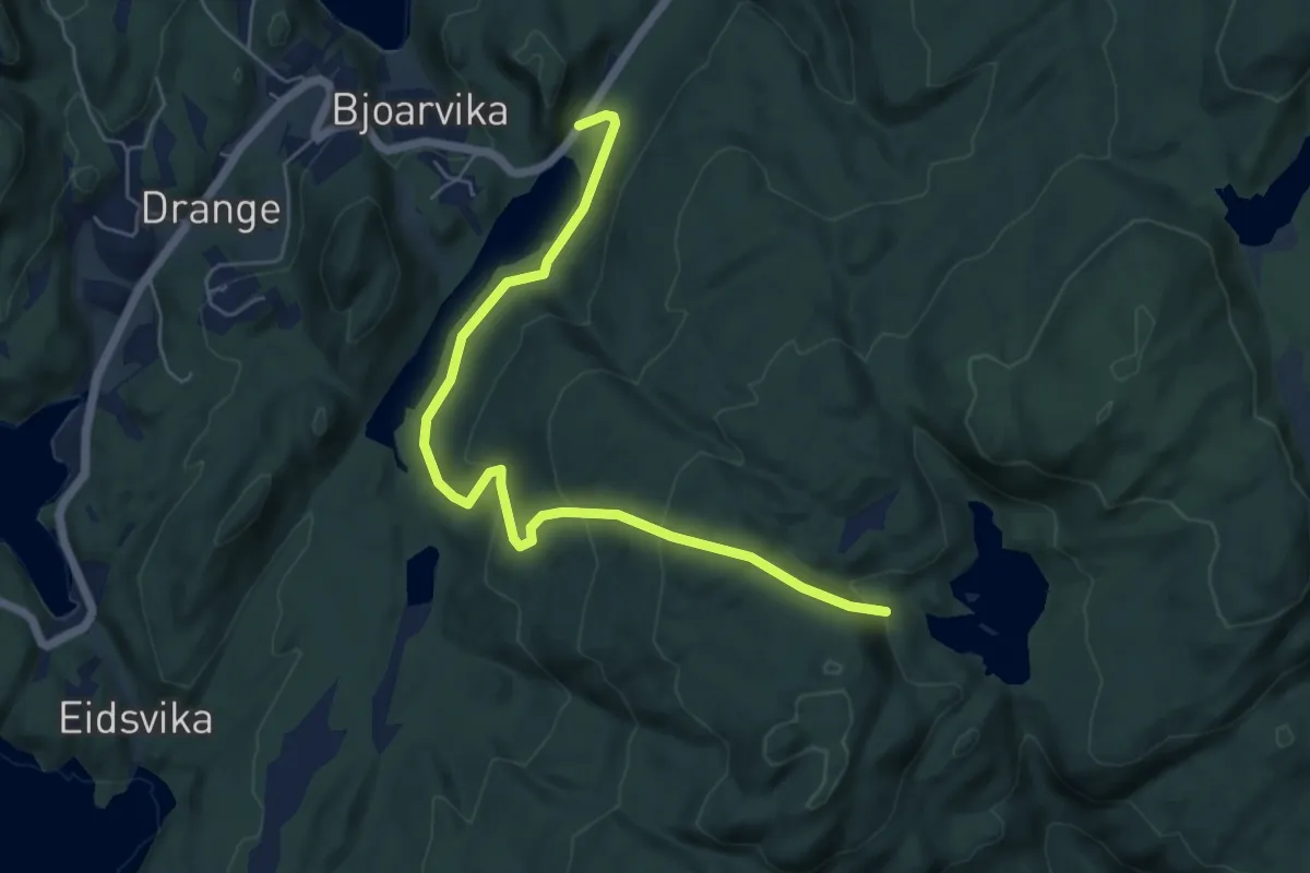
Easy · Trail
Langavatnet – Hovlandsvatnet
4.5 km · ↑ 237 m · 1 h 34 min
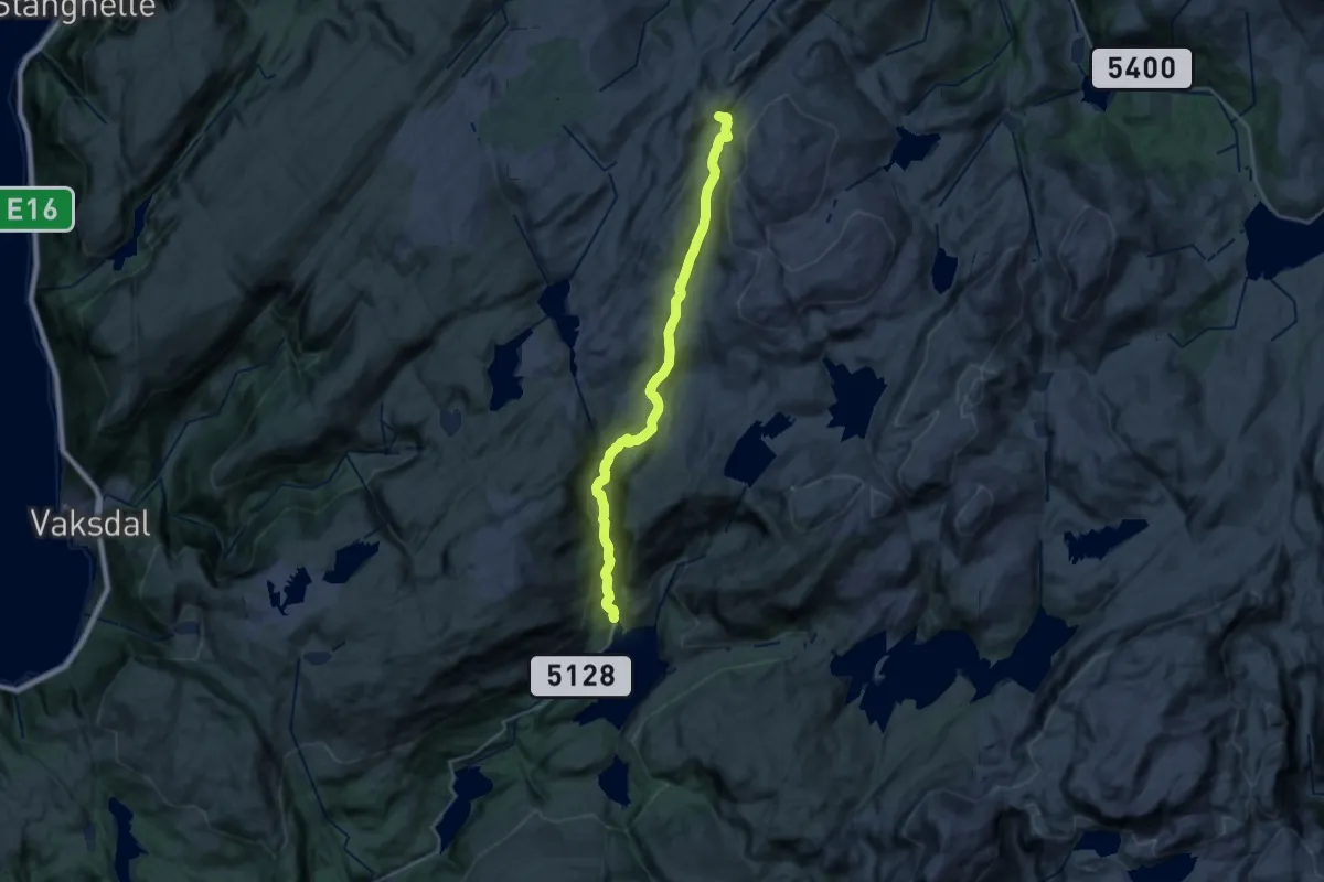
Demanding · Cabin
Kvitingen – Høgabu
18.8 km · ↑ 714 m · 5 h 59 min
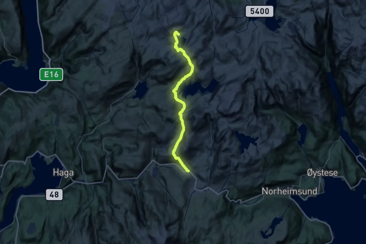
Demanding · Cabin
Jonshøgdi – Gullhorgbu
17.6 km · ↑ 1099 m · 6 h 34 min
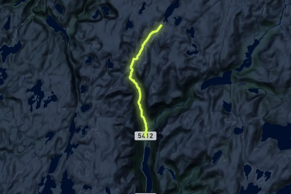
Demanding · Cabin
Norddalshytten – Steinsland
22.2 km · ↑ 972 m · 7 h 21 min
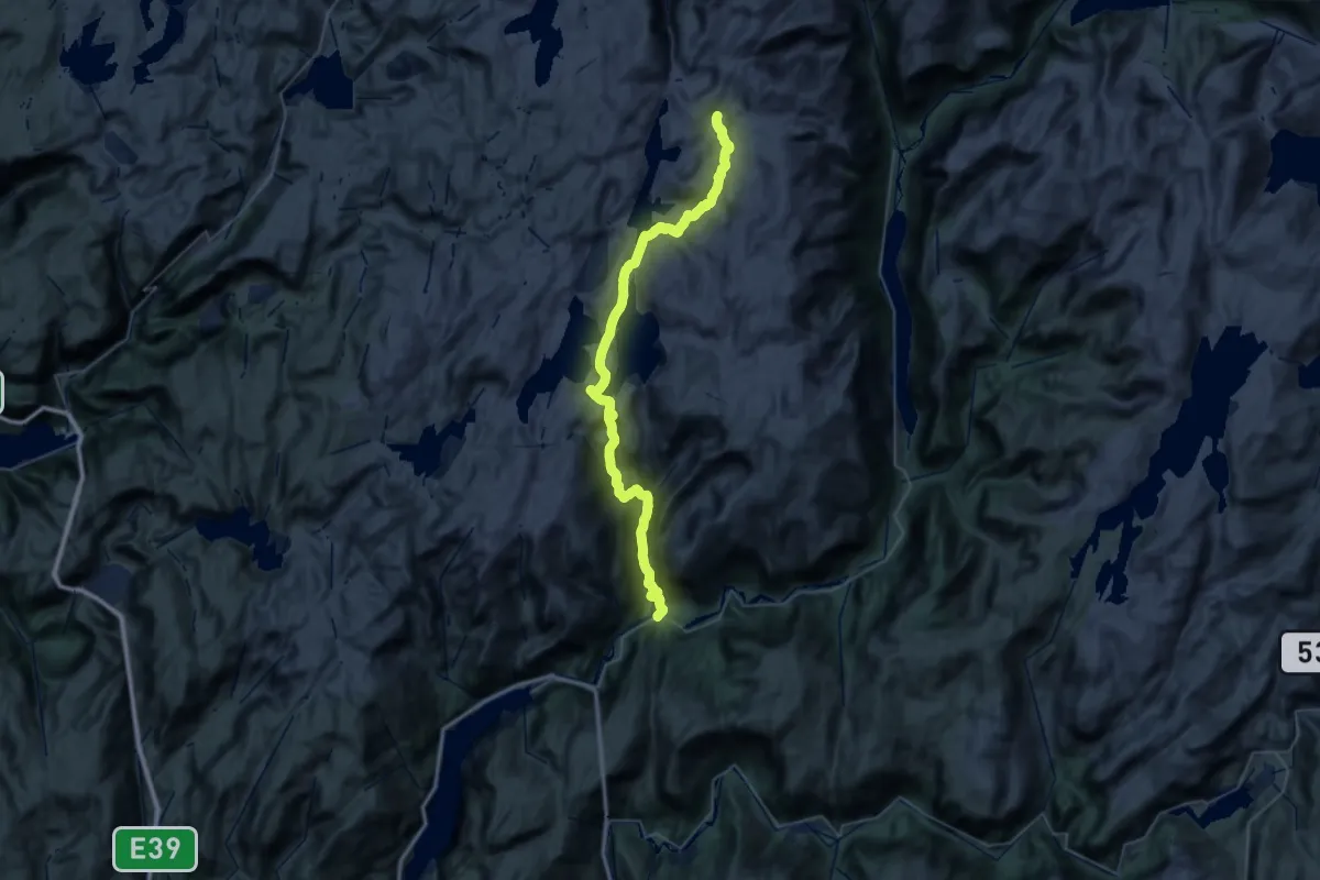
Demanding · Cabin
Nedre Helland – Vardadalsbu
17.2 km · ↑ 1248 m · 6 h 35 min
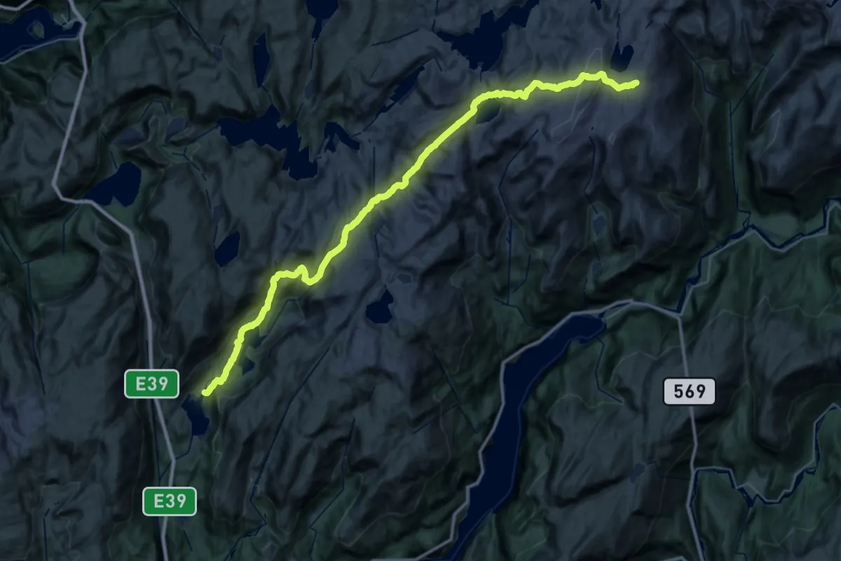
Demanding · Cabin
Dyrkollebotnen – Skavlabu
14.6 km · ↑ 993 m · 5 h 29 min
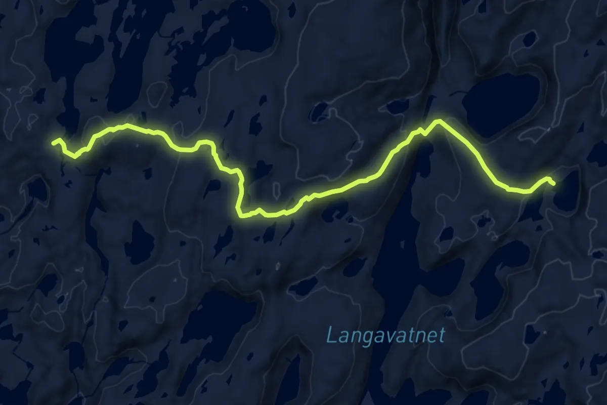
Medium · Cabin
Vardadalsbu – Fjellvassbu
14.1 km · ↑ 554 m · 4 h 32 min
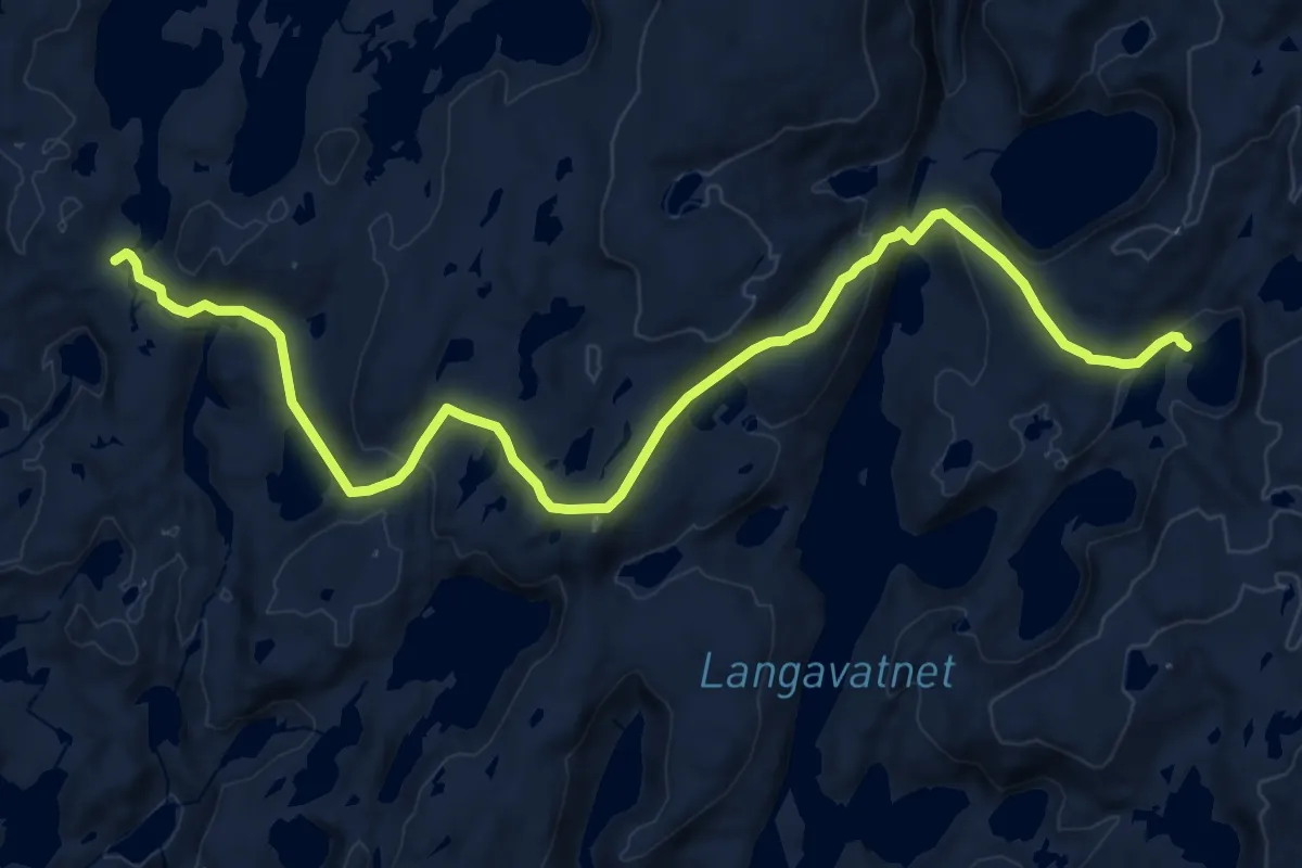
Medium · Cabin
Vardadalsbu – Fjellvassbu
14.7 km · ↑ 739 m · 5 h 5 min
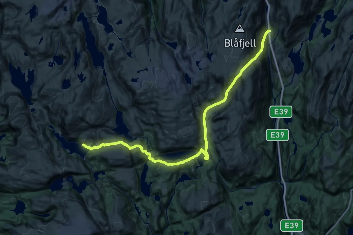
Medium · Cabin
Dyrkollebotnen – Kalvedalshytta
11.8 km · ↑ 724 m · 4 h 30 min
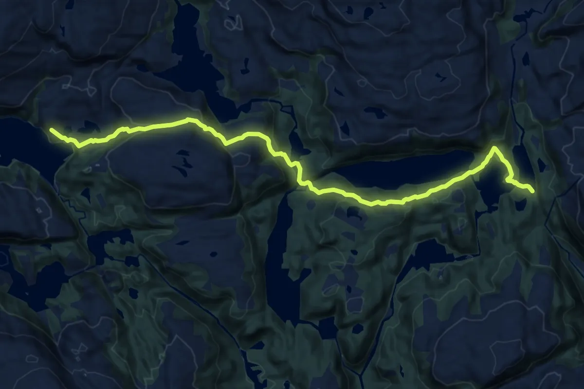
Medium · Cabin
Stussdalen – Kalvedalshytta
12.2 km · ↑ 595 m · 4 h 10 min
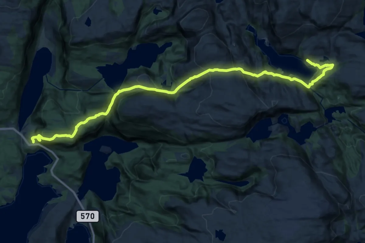
Demanding · Cabin
Nordkvingo – Kalvedalshytta
17.3 km · ↑ 1238 m · 6 h 46 min
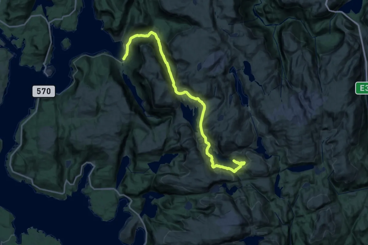
Demanding · Cabin
Andvika – Kalvedalshytta
14.1 km · ↑ 920 m · 5 h 19 min
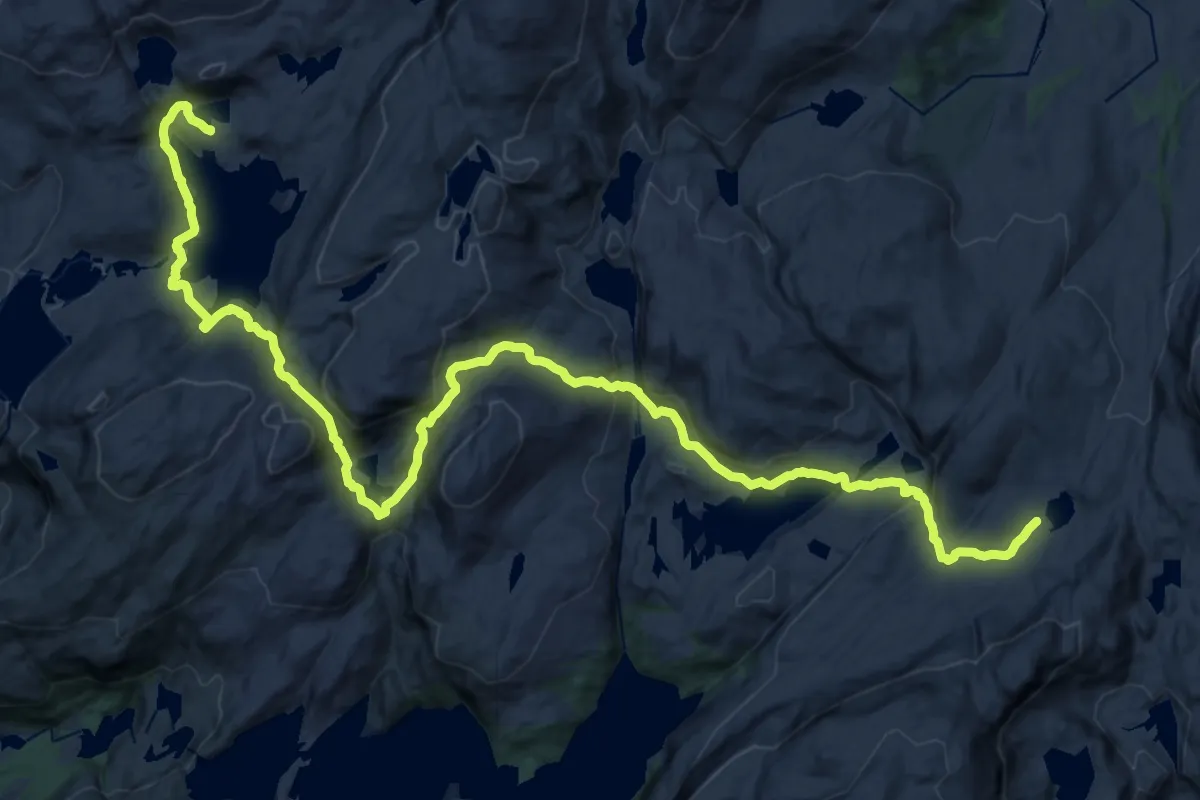
Demanding · Cabin
Gullhorgabu – Vending
24.2 km · ↑ 968 m · 7 h 49 min
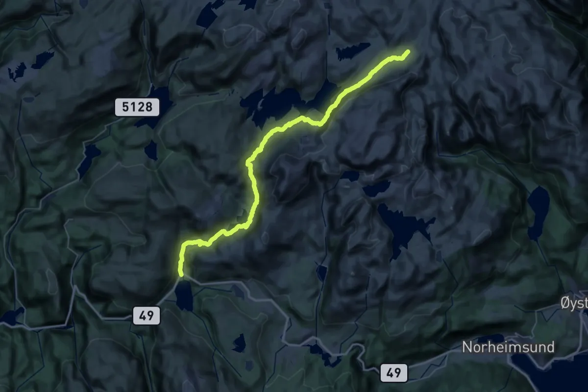
Medium · Cabin
Eikedalen – Vending
15.9 km · ↑ 635 m · 5 h 8 min
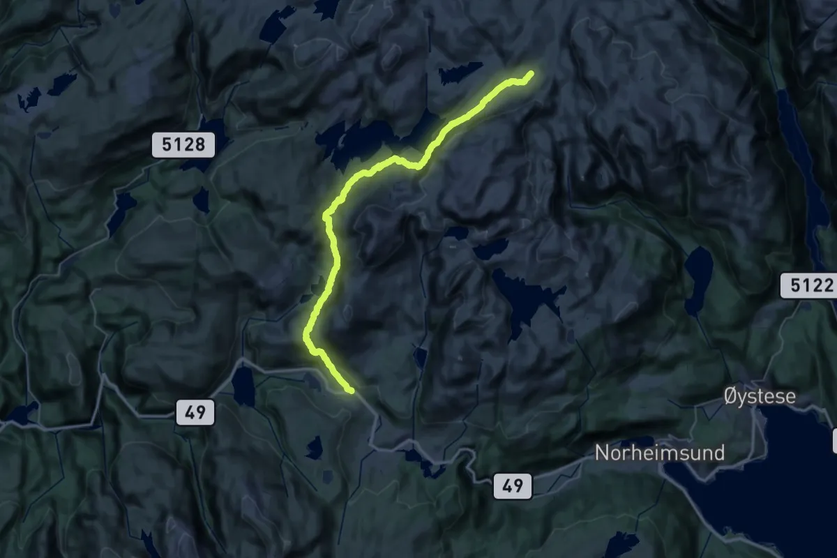
Medium · Cabin
Jonshøgdi – Vending
15.3 km · ↑ 797 m · 5 h 21 min
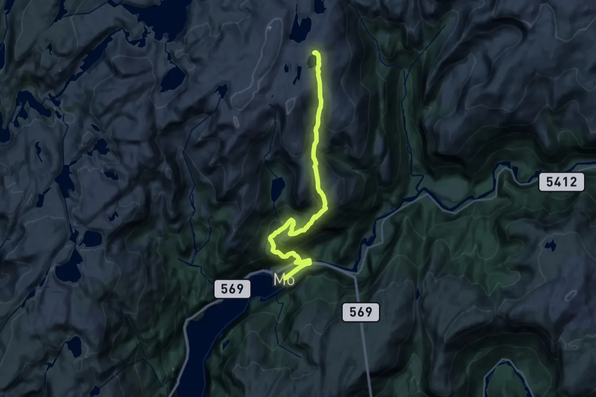
Demanding · Cabin
Mo – Skavlabu
16.4 km · ↑ 1095 m · 6 h 15 min
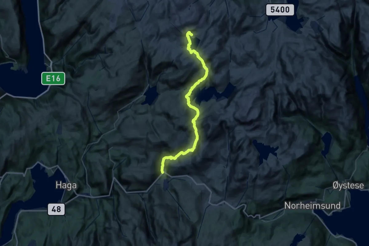
Demanding · Cabin
Eikedalen – Gullhorgbu
18.2 km · ↑ 950 m · 6 h 23 min
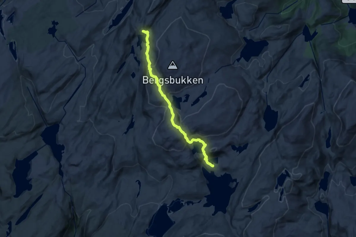
Medium · Cabin
Høgabu – Gullhorgbu
10.5 km · ↑ 599 m · 3 h 46 min