Trails in Norway
7,452 hiking trails, each with its route, climb, walking time and grade.
All trails, page 136 of 156
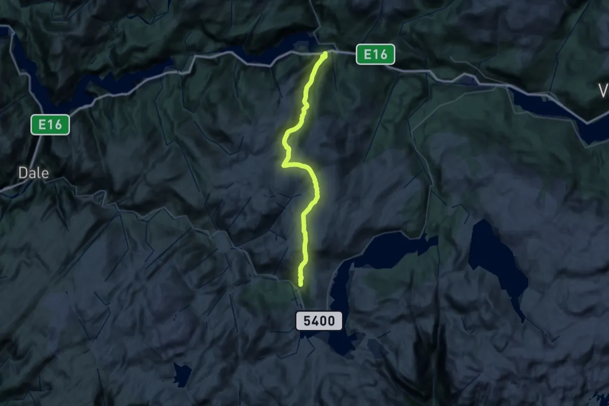
Medium · Trail
Alexander Grieghytten – Evanger
15.1 km · ↑ 447 m · 5 h 3 min
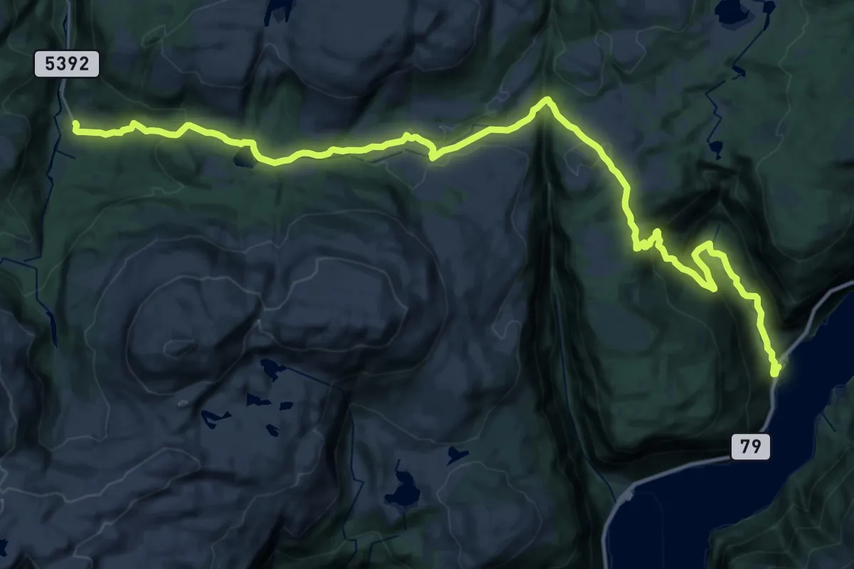
Medium · Trail
Rongastovo – Folkedal
14.5 km · ↑ 344 m · 4 h 35 min
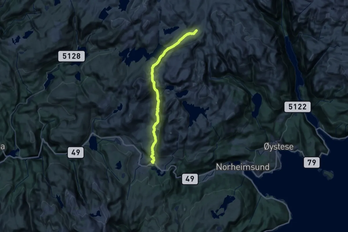
Demanding · Cabin
Steinskvanndalen – Vending
14.2 km · ↑ 825 m · 5 h 7 min
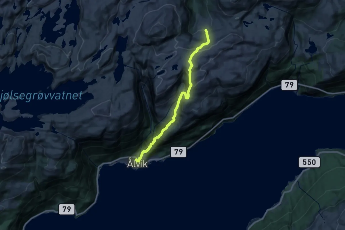
Demanding · Trail
Rongastovo – Ålvik
14.4 km · ↑ 1301 m · 6 h 13 min
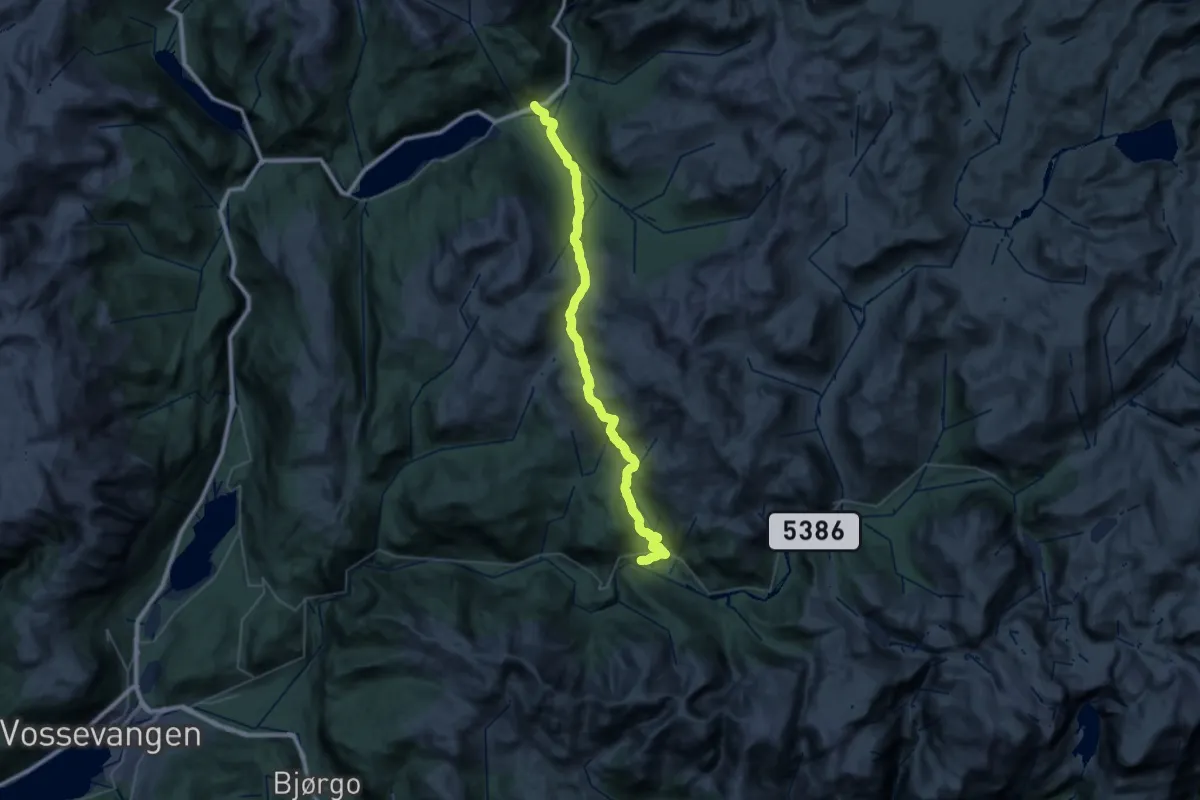
Demanding · Trail
Reimegrend – Haugsvik
18.3 km · ↑ 789 m · 6 h 21 min
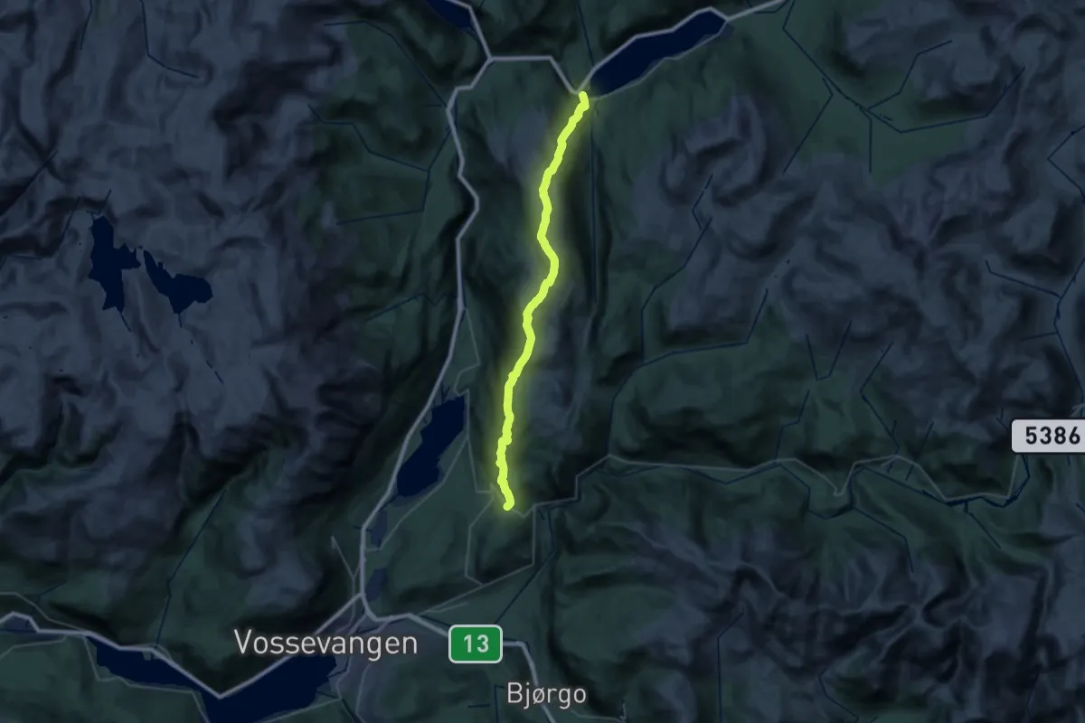
Medium · Trail
Lemme – Øyjordi / Oppheim
14.8 km · ↑ 722 m · 5 h 15 min
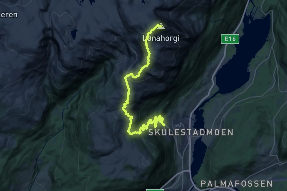
Demanding · Summit
Bavallen – Lønahorgi
20.1 km · ↑ 1155 m · 7 h 14 min
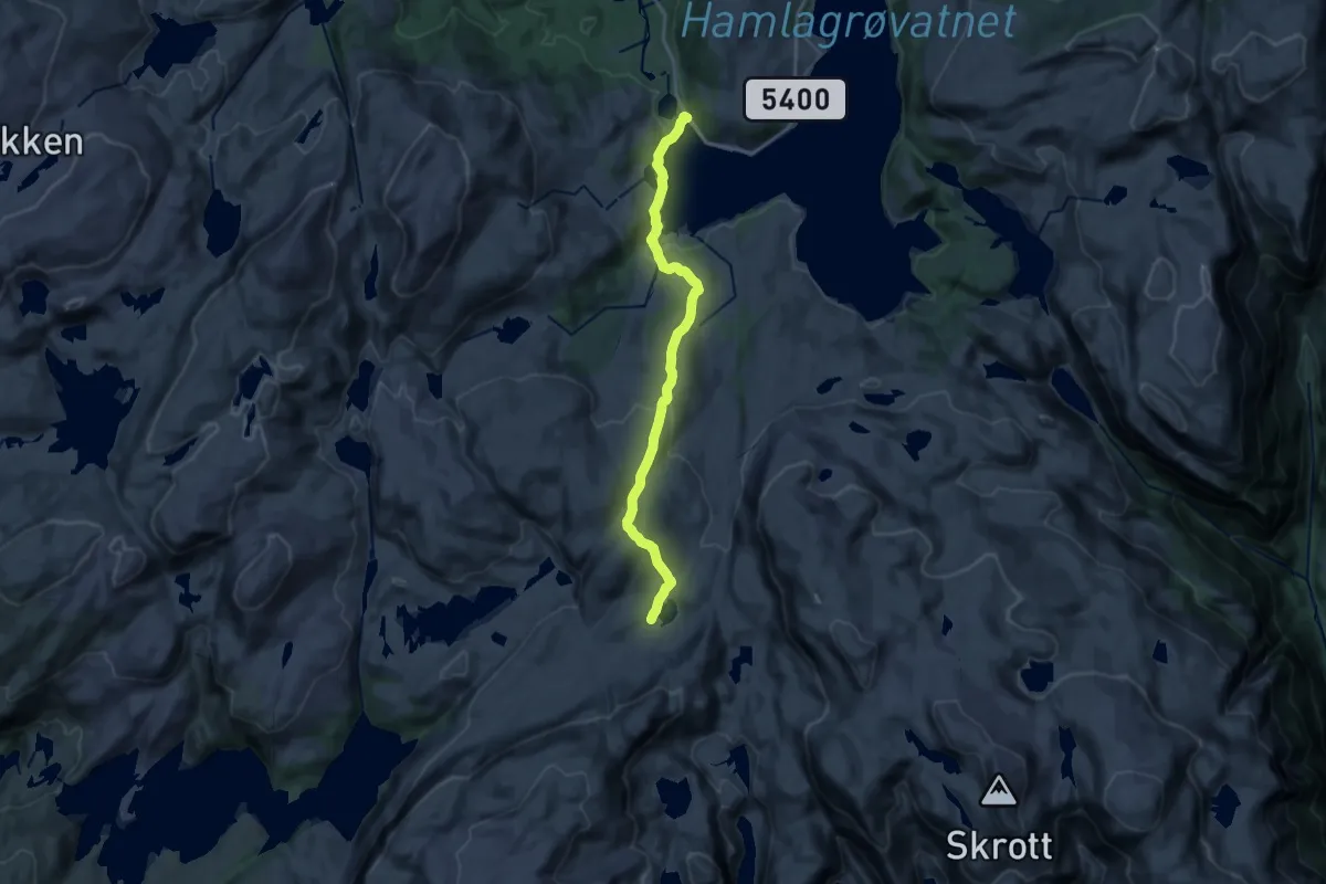
Medium · Cabin
Hamlagøosen – Vending
13.0 km · ↑ 476 m · 4 h 6 min
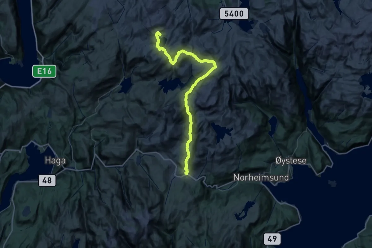
Demanding · Cabin
Steinskvanndalen – Gullhorgbu
24.5 km · ↑ 1313 m · 8 h 44 min
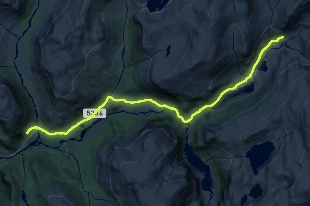
Demanding · Trail
Uppsete – Mjølfjell
24.2 km · ↑ 337 m · 6 h 26 min
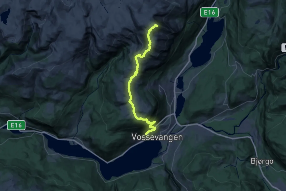
Demanding · Summit
Voss – Lønahorgi
22.7 km · ↑ 1367 m · 8 h 19 min
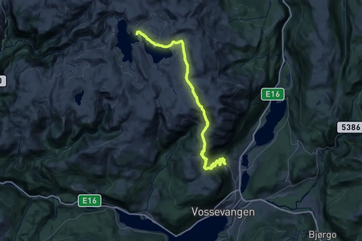
Demanding · Cabin
Bavallen – Volahytta
17.9 km · ↑ 1050 m · 6 h 24 min
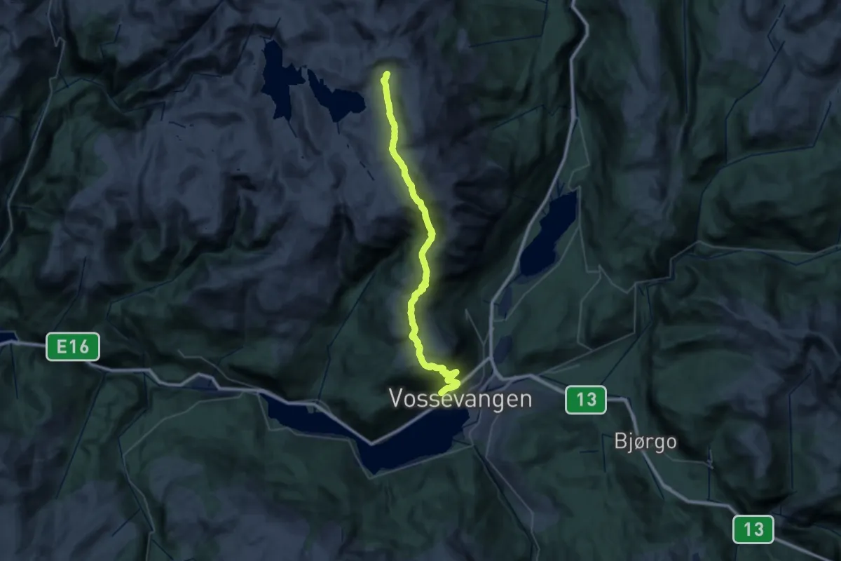
Demanding · Cabin
Voss – Tvinnestølen
15.7 km · ↑ 1184 m · 6 h 2 min
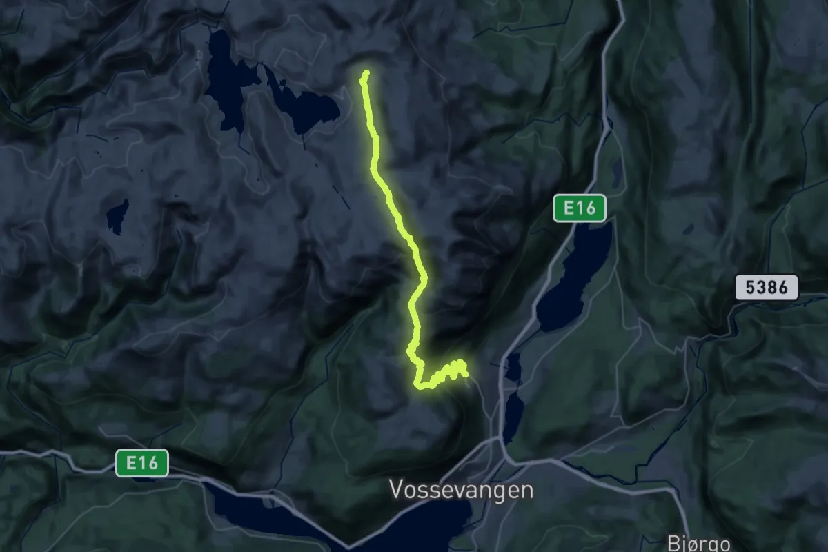
Demanding · Cabin
Bavallen – Tvinnestølen
14.4 km · ↑ 1020 m · 5 h 24 min
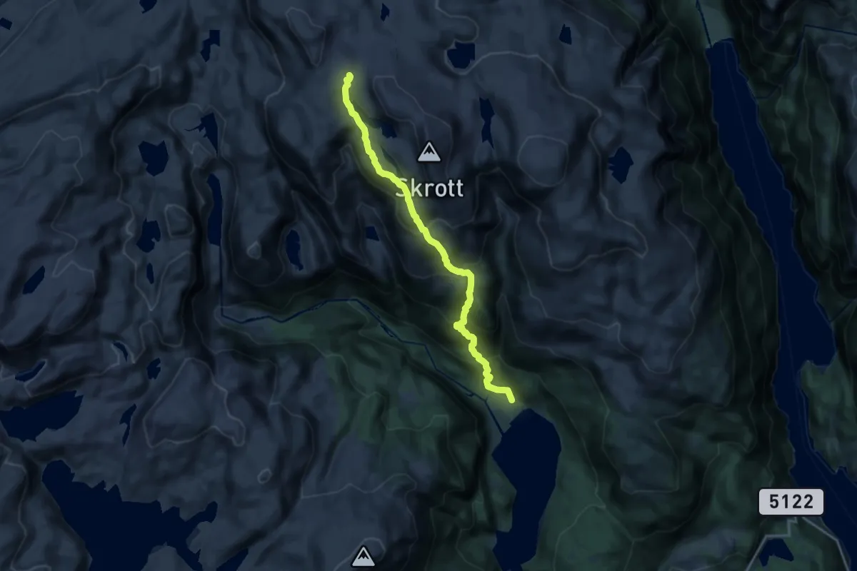
Demanding · Cabin
Breidablik – Fitjadalen
11.3 km · ↑ 964 m · 4 h 45 min
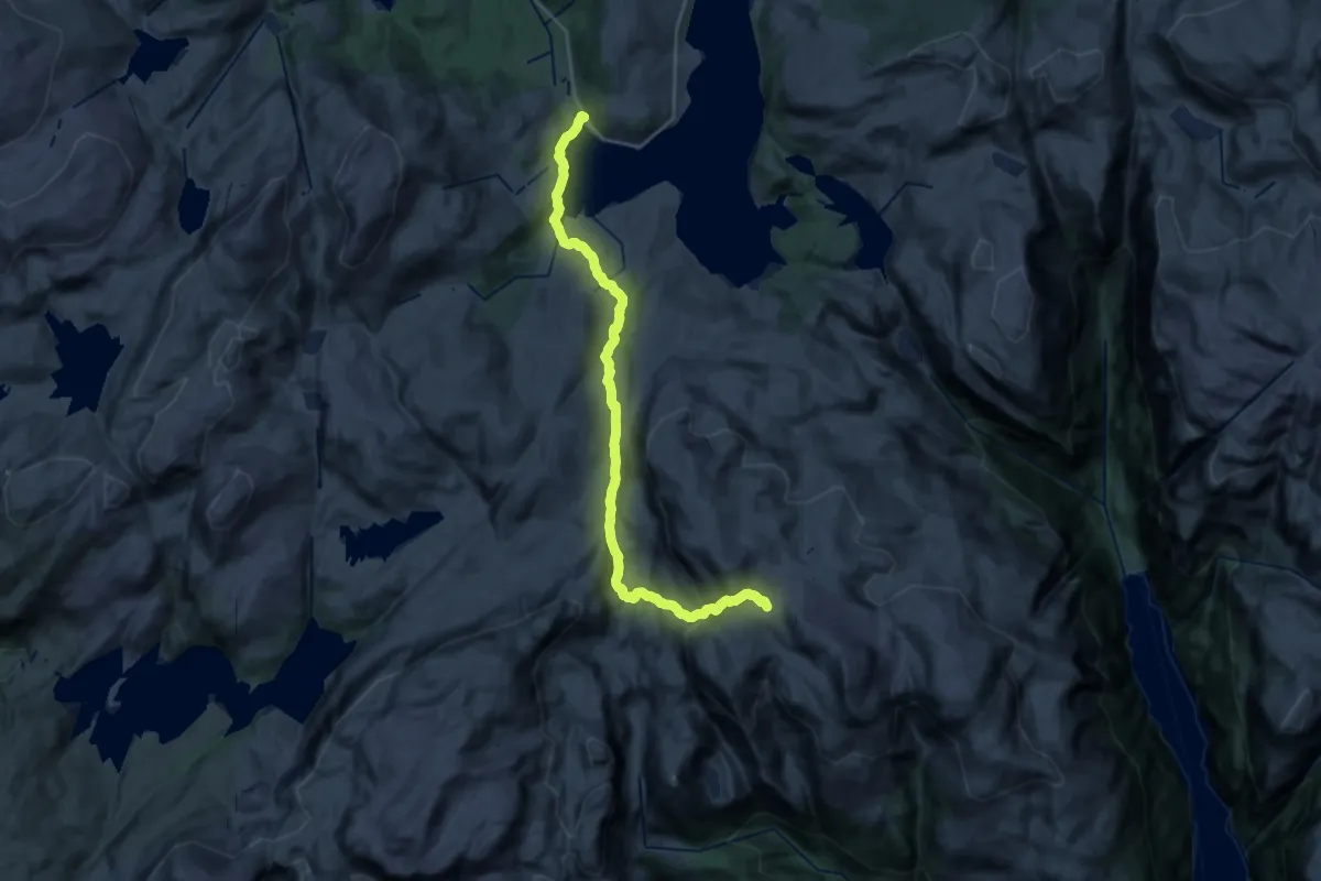
Demanding · Cabin
Hamlagreosen – Breidablik
19.0 km · ↑ 757 m · 6 h 7 min
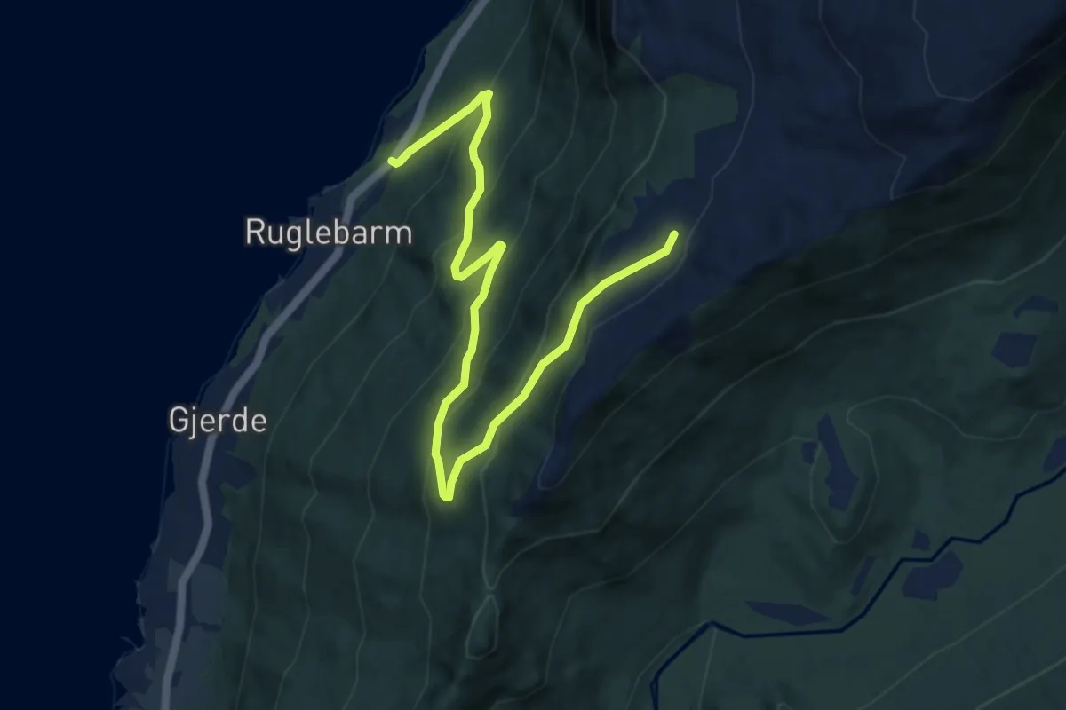
Medium · Trail
Geitebu – Strandsetra
7.5 km · ↑ 563 m · 2 h 59 min
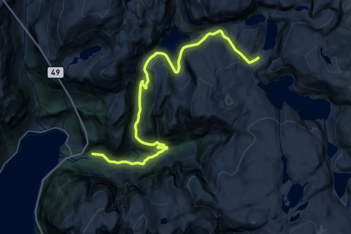
Demanding · Trail
Jukla Kraftstasjon – Flatebø
18.6 km · ↑ 788 m · 6 h 6 min
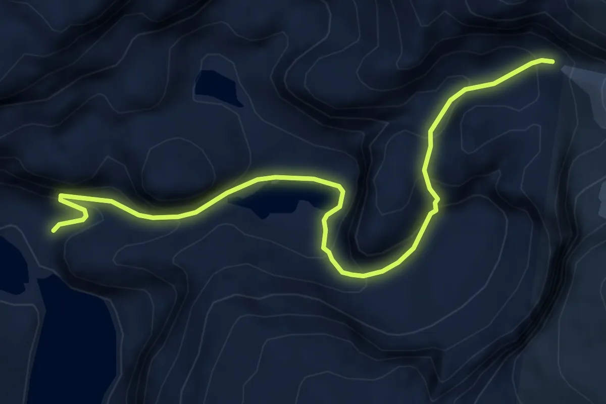
Medium · Trail
Jukla Kraftstasjon – Botnabrea
5.5 km · ↑ 398 m · 2 h 10 min
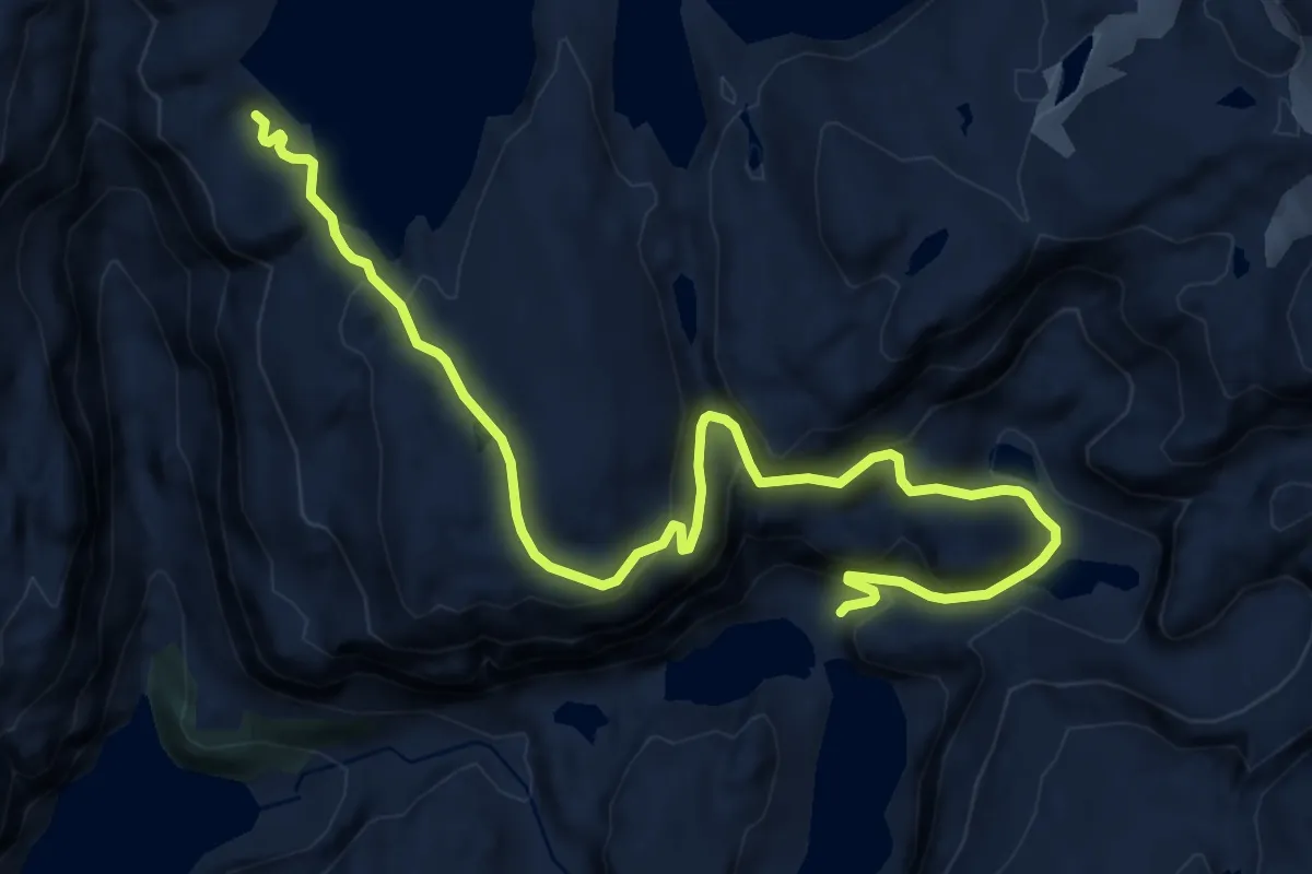
Medium · Trail
Jukla Kraftstasjon – Juklavatnet
10.7 km · ↑ 515 m · 3 h 38 min
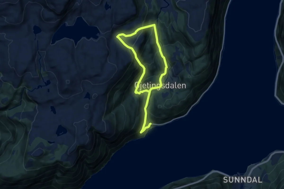
Demanding · Trail
Eikenes – Måvatnet
11.6 km · ↑ 888 m · 4 h 40 min
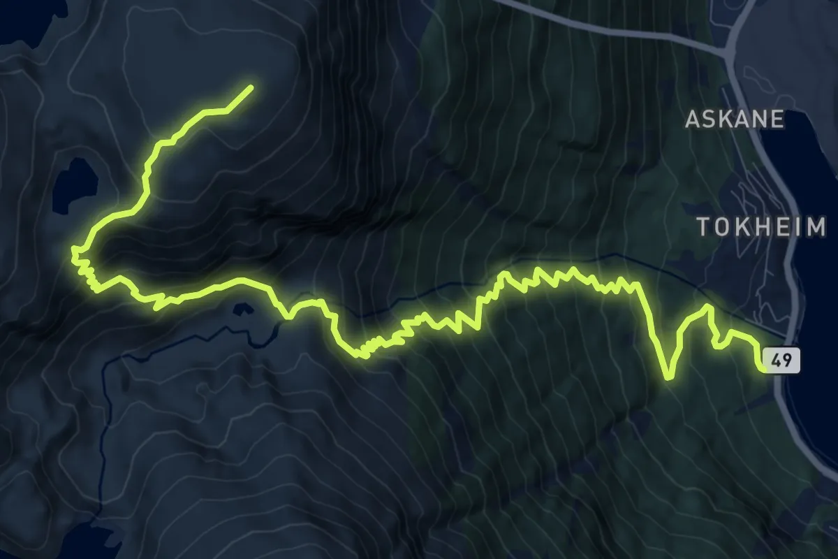
Demanding · Trail
Tokheim – Tokheimsnuten
12.8 km · ↑ 1323 m · 5 h 53 min
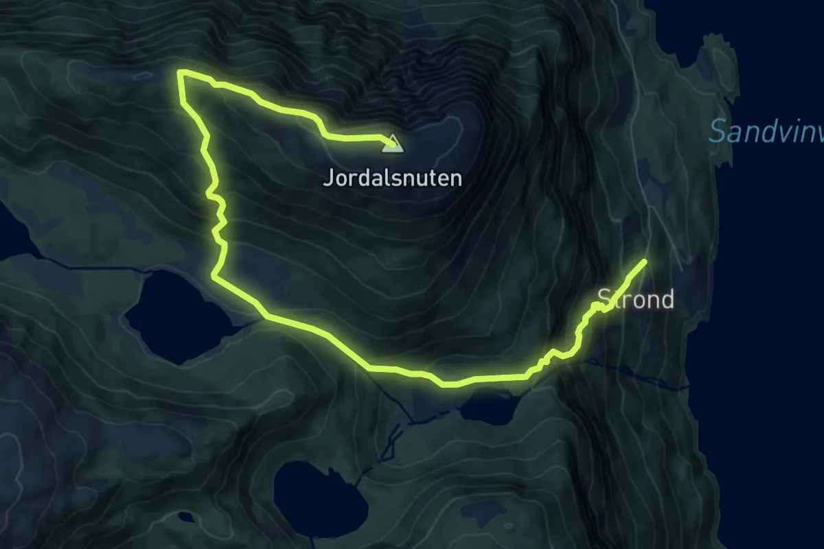
Demanding · Summit
Vikane – Jordalsnuten
8.9 km · ↑ 828 m · 3 h 54 min
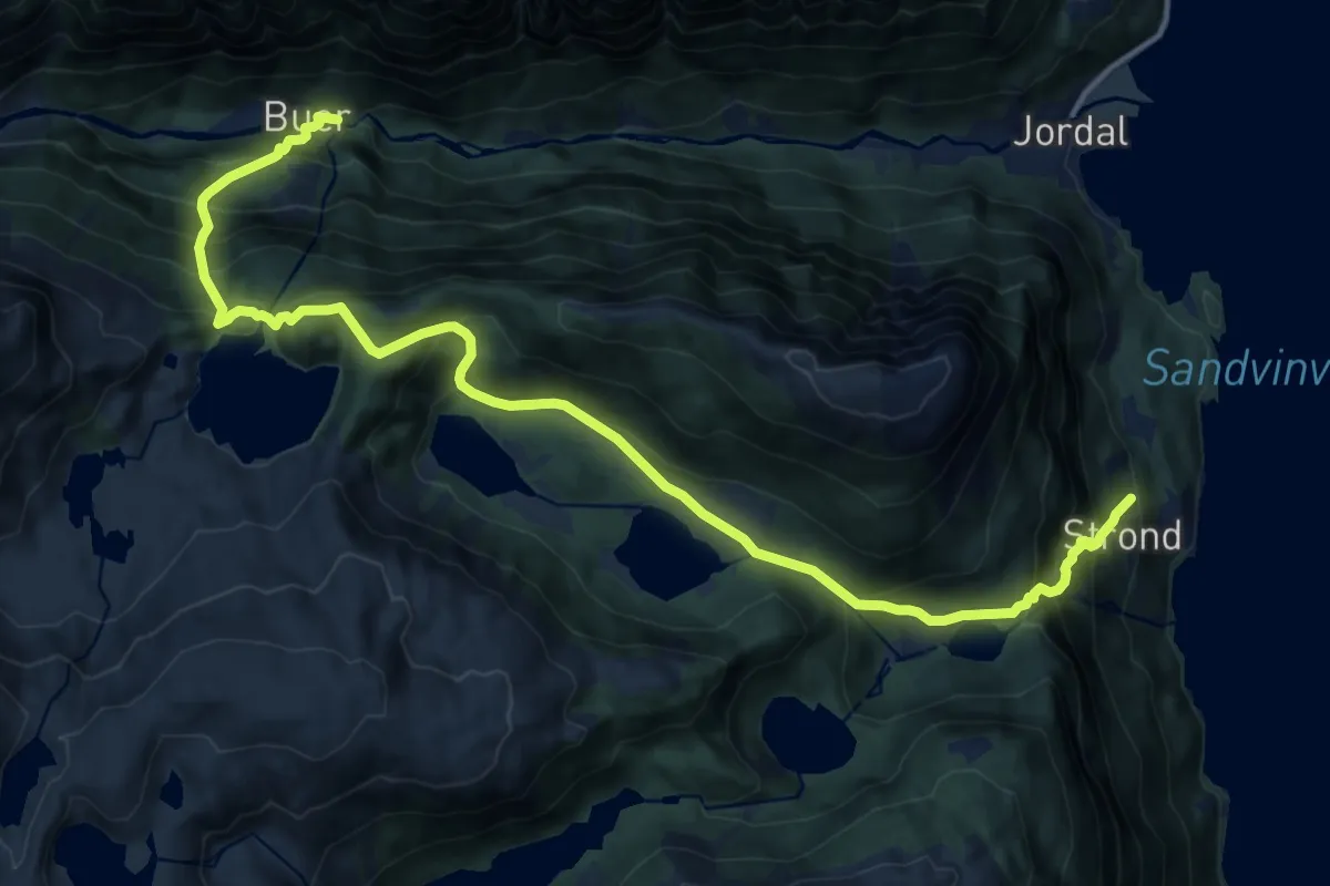
Demanding · Trail
Vikane – Buer
13.1 km · ↑ 1215 m · 5 h 44 min
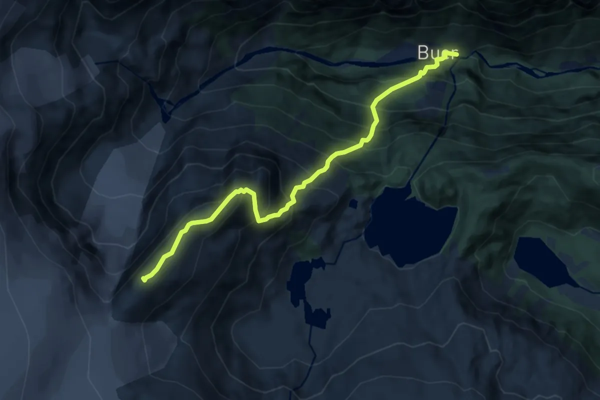
Demanding · Trail
Buer – Reinanuten
6.9 km · ↑ 973 m · 3 h 44 min
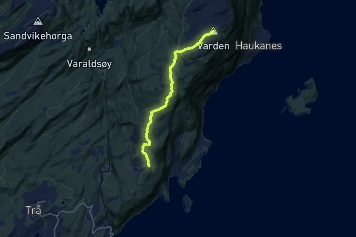
Medium · Summit
Varaldsøy – Varden
7.7 km · ↑ 399 m · 2 h 41 min
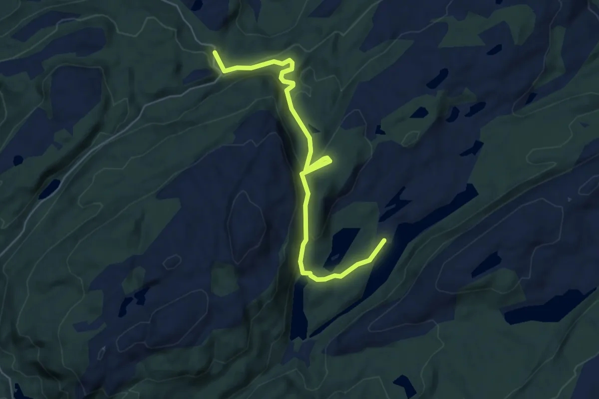
Easy · Trail
Varaldsøy – Volavatna
4.2 km · ↑ 230 m · 1 h 29 min
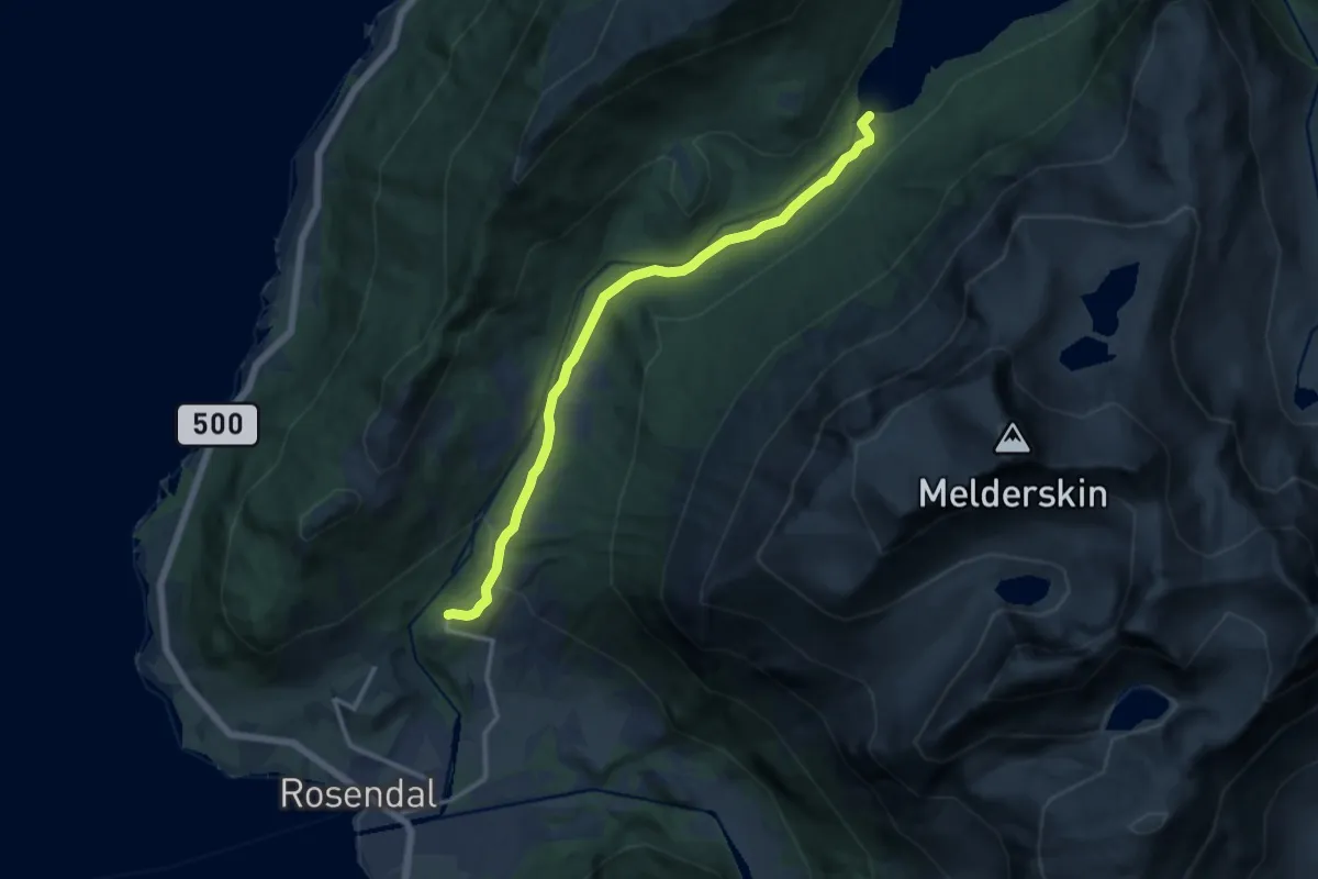
Medium · Trail
Rosendal – Myrdalsvatnet
9.2 km · ↑ 229 m · 2 h 40 min
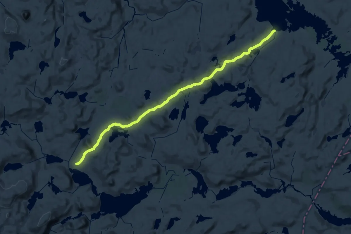
Demanding · Cabin
Litlos – Besso
19.3 km · ↑ 353 m · 5 h 37 min
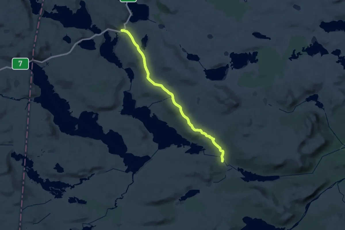
Demanding · Cabin
Heinseter – RV7/Lappsteinen/Fagerheim
26.9 km · ↑ 472 m · 7 h 22 min
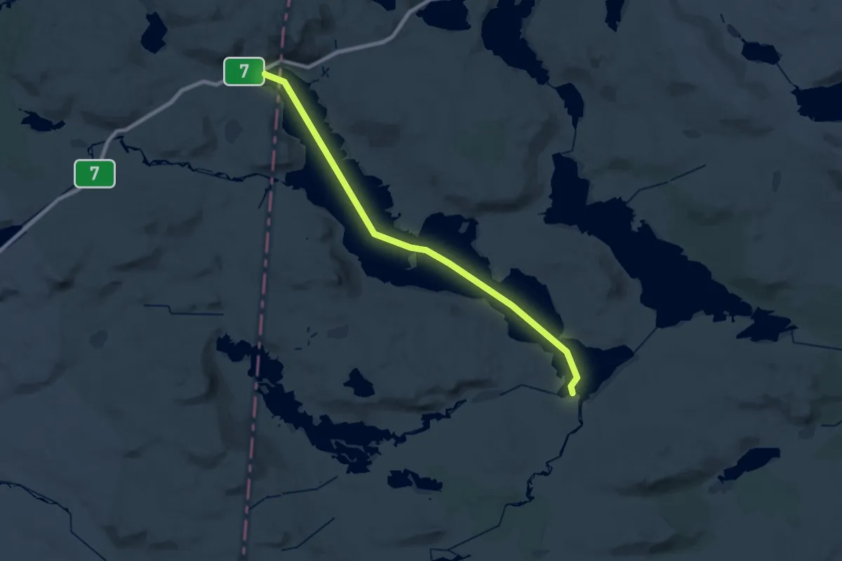
Demanding · Trail
Skaupa (Halnefjorden) – Rauhelleren
22.8 km · ↑ 0 m · 5 h 23 min
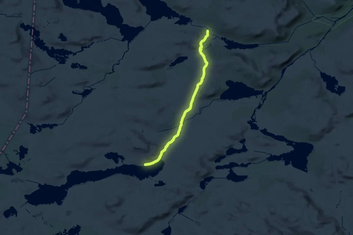
Demanding · Cabin
Heinseter – Rauhelleren
27.5 km · ↑ 409 m · 7 h 23 min
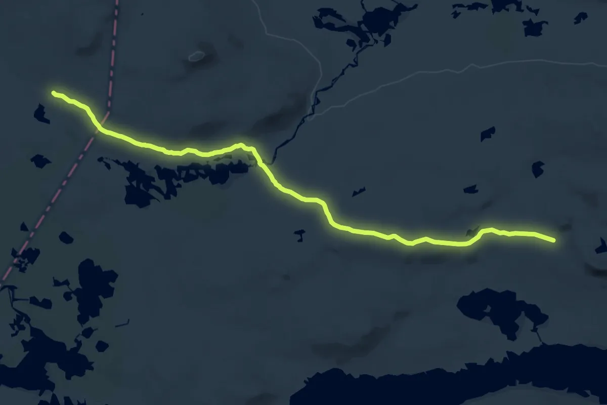
Demanding · Cabin
Stigstuv – Rauhelleren
21.1 km · ↑ 252 m · 5 h 32 min
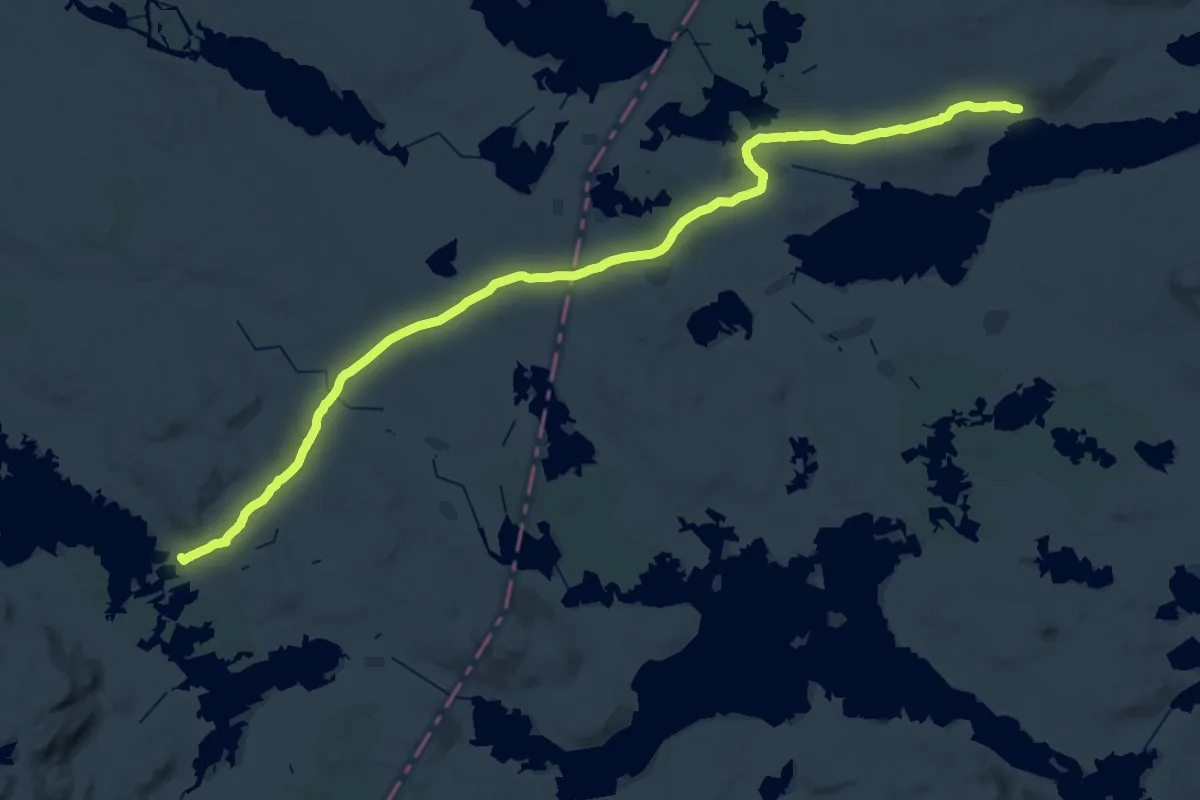
Demanding · Cabin
Sandhaug – Rauhelleren
18.5 km · ↑ 172 m · 4 h 59 min
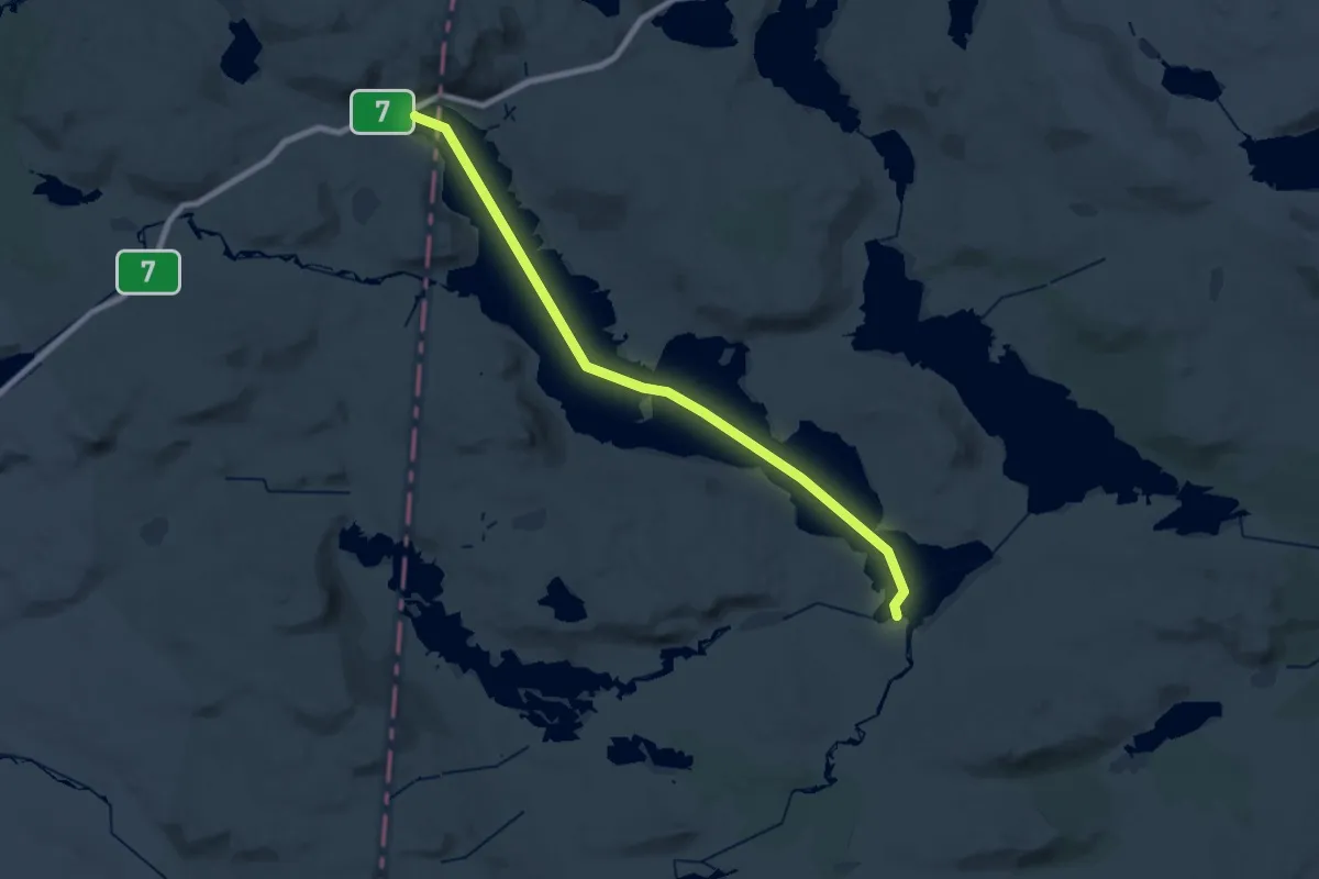
Demanding · Trail
Heinseter – Halne
22.8 km · ↑ 0 m · 5 h 23 min
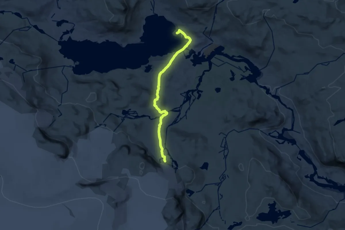
Medium · Cabin
Finse – Blåisen
10.2 km · ↑ 301 m · 3 h 4 min
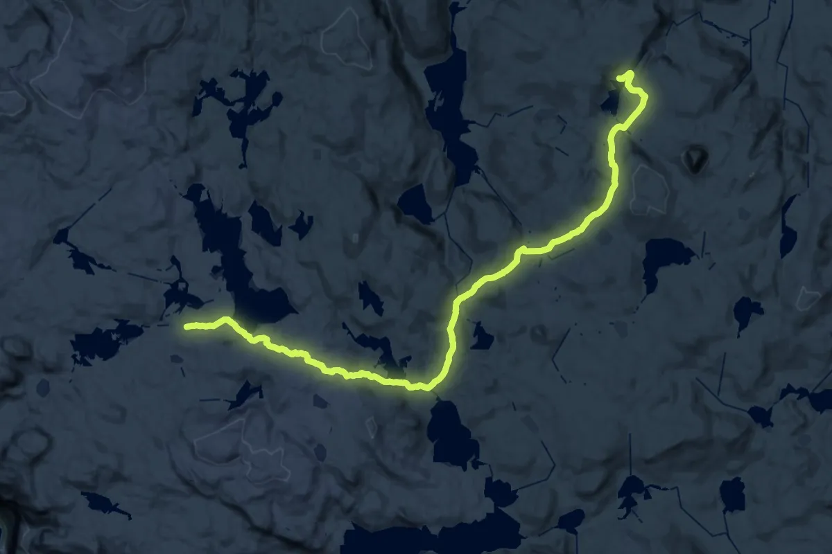
Demanding · Cabin
Torehytten – Tyssevassbu
18.7 km · ↑ 494 m · 5 h 45 min
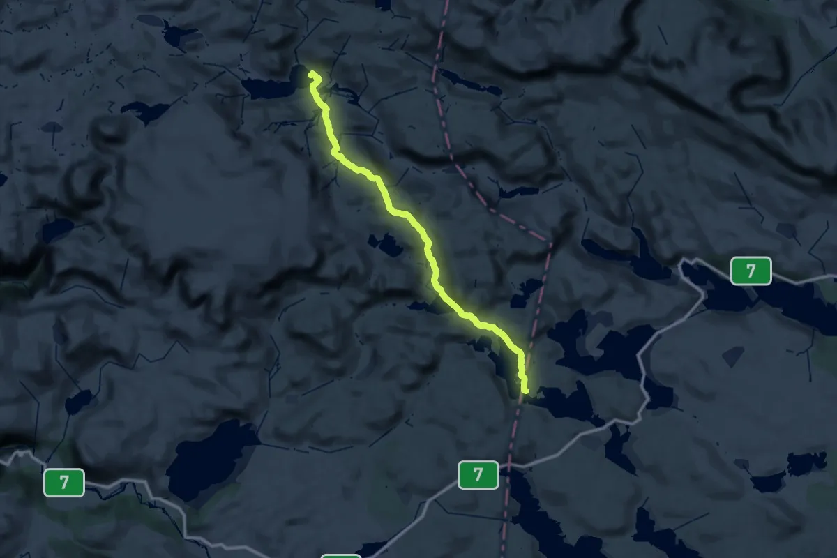
Demanding · Cabin
Finse – Krækkja
22.9 km · ↑ 420 m · 6 h 37 min
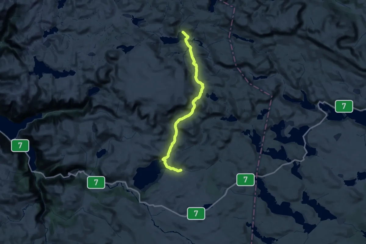
Demanding · Cabin
Finse – Kjeldebu
27.1 km · ↑ 464 m · 7 h 51 min
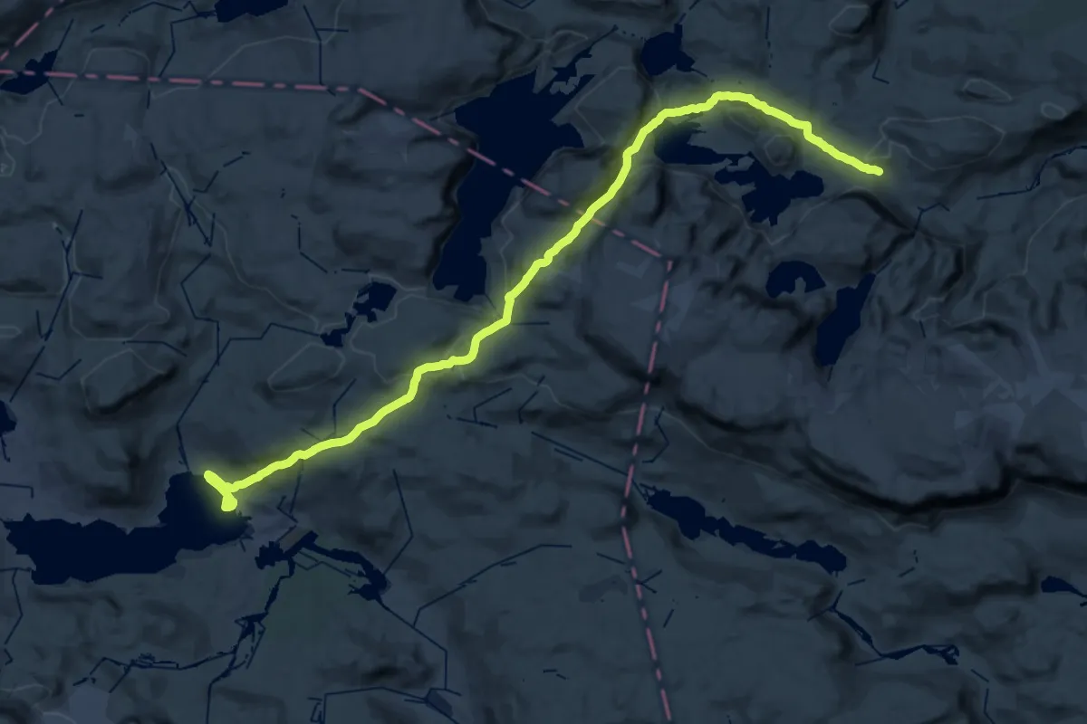
Medium · Trail
Finse – Raggsteindalen
15.3 km · ↑ 589 m · 4 h 58 min
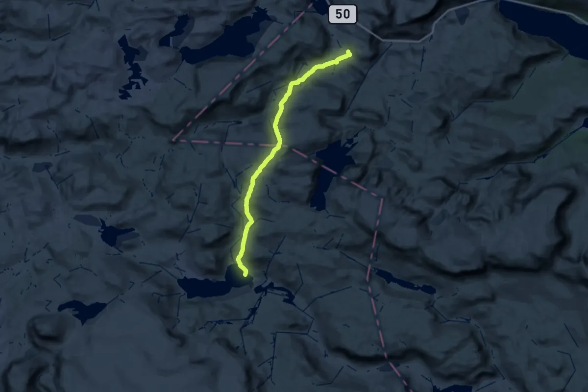
Medium · Cabin
Finse – Geiterygghytta
14.9 km · ↑ 453 m · 4 h 43 min
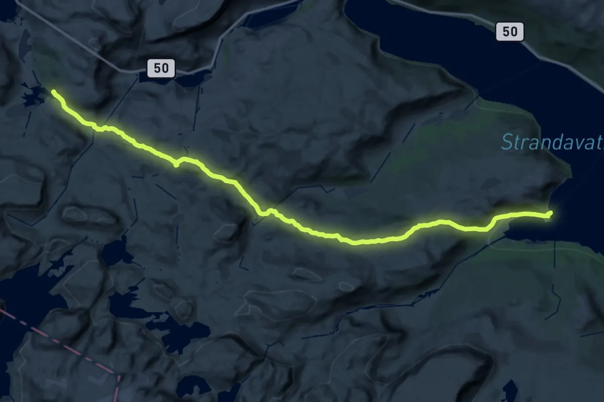
Demanding · Cabin
Geiterygghytta – Raggsteindalen
15.7 km · ↑ 268 m · 4 h 37 min
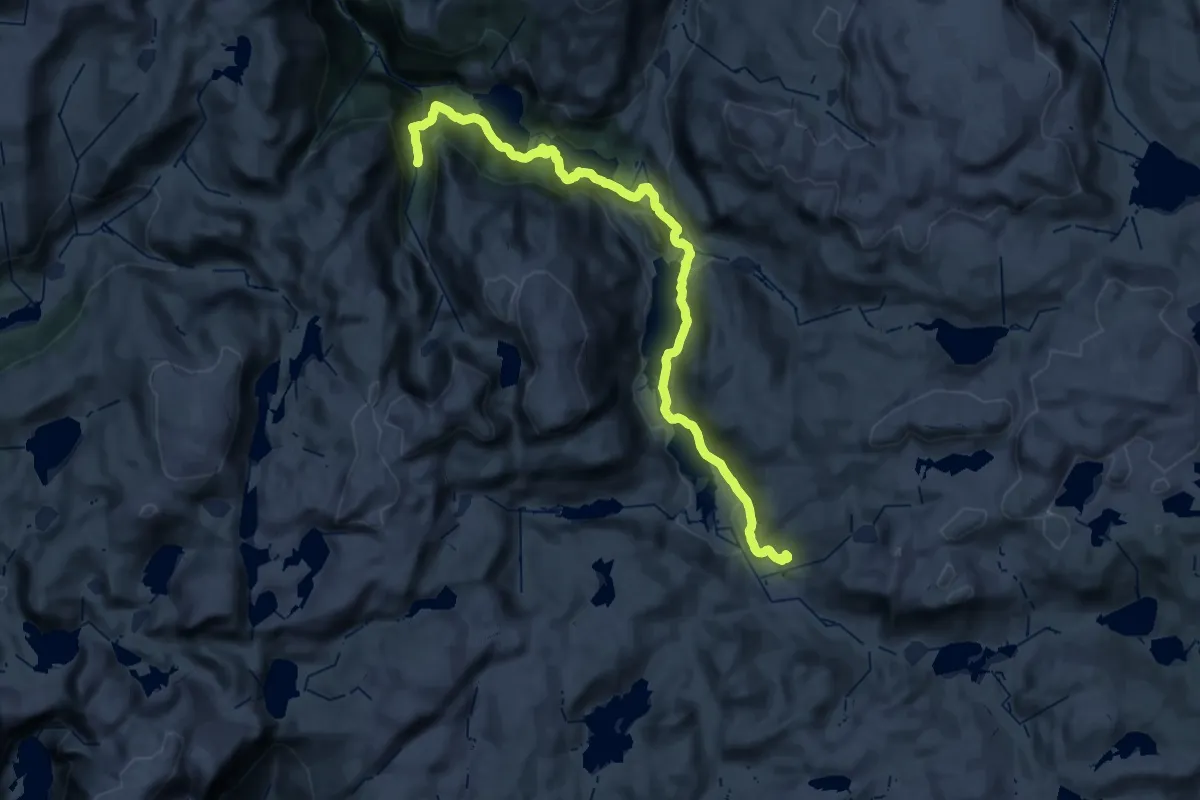
Medium · Cabin
Vatnahalsen – Hallingskeid
15.9 km · ↑ 244 m · 4 h 38 min
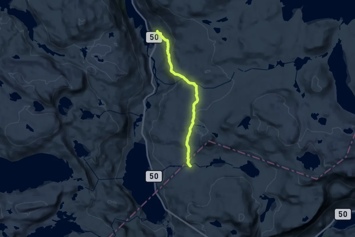
Demanding · Cabin
Geiterygghytta – Steinbergdalen
11.6 km · ↑ 446 m · 3 h 43 min
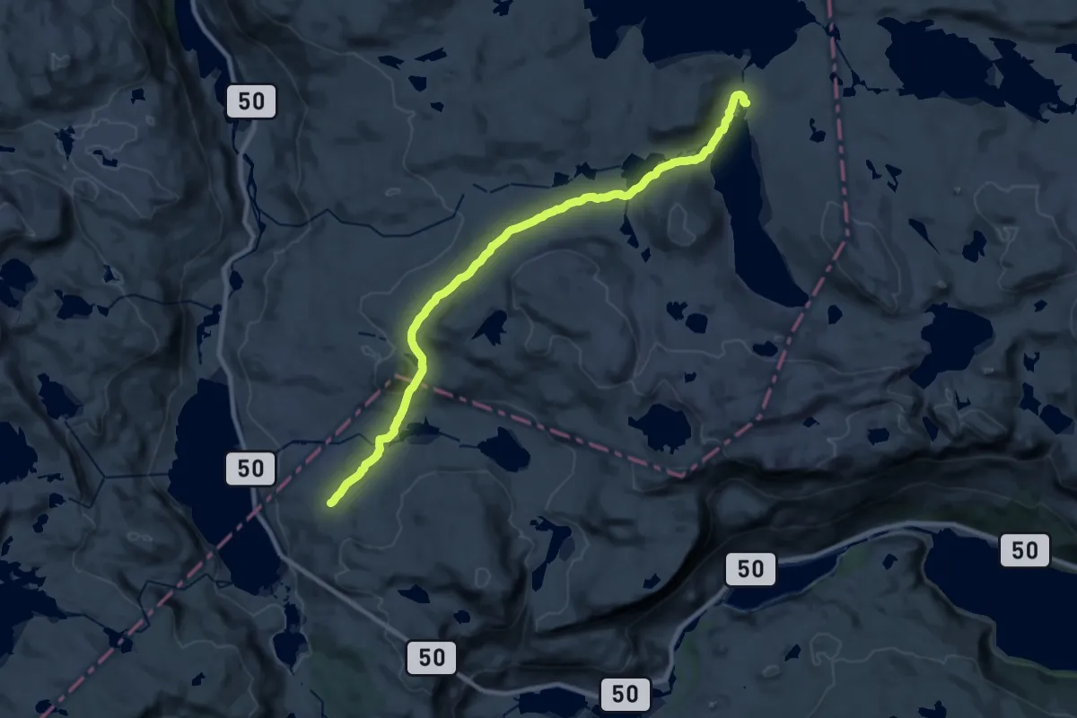
Demanding · Cabin
Geiterygghytta – Kongshelleren
17.8 km · ↑ 313 m · 4 h 53 min
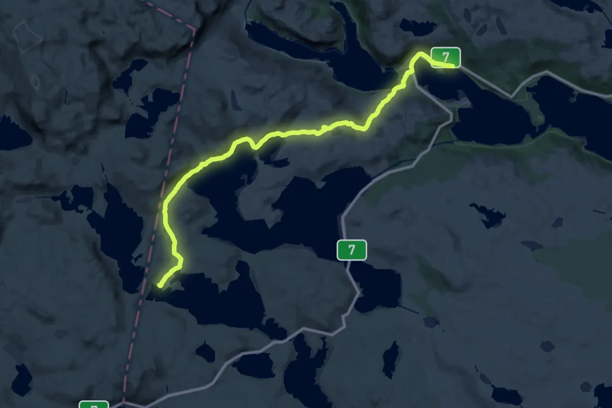
Demanding · Cabin
Ustaoset – Krækkja
29.5 km · ↑ 439 m · 7 h 55 min
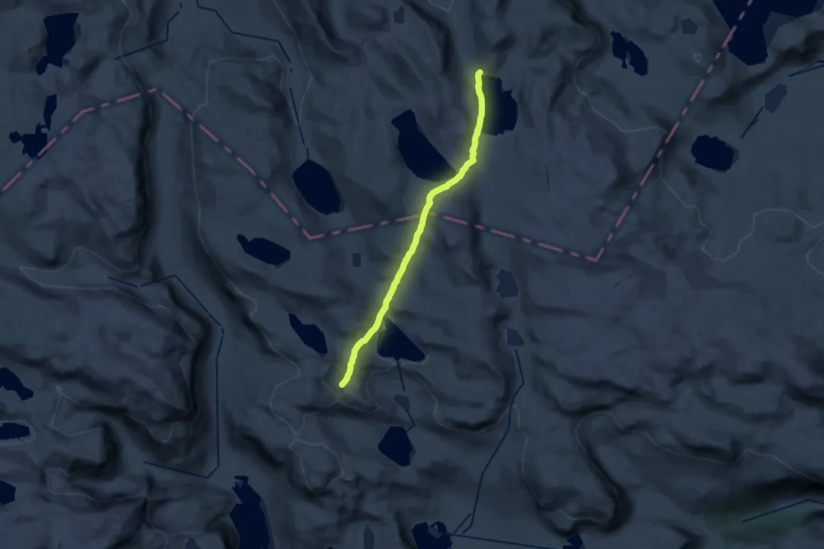
Medium · Cabin
Iungsdalshytta – Bjordalsbu
14.6 km · ↑ 508 m · 4 h 33 min
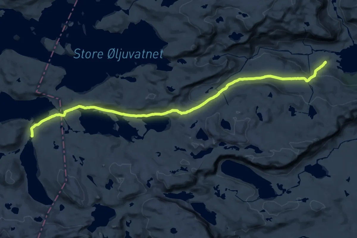
Demanding · Cabin
Iungsdalshytta – Kongshelleren
26.7 km · ↑ 561 m · 7 h 31 min