Trails in Norway
7,453 hiking trails, each with its route, climb, walking time and grade.
All trails, page 144 of 156
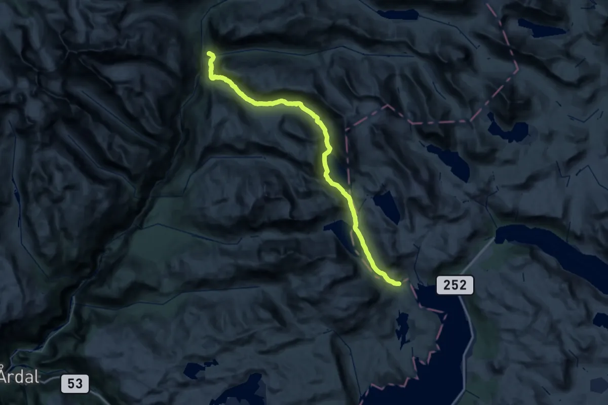
Demanding · Cabin
Koldedalen – Skogadalsbøen
20.3 km · ↑ 432 m · 6 h 12 min
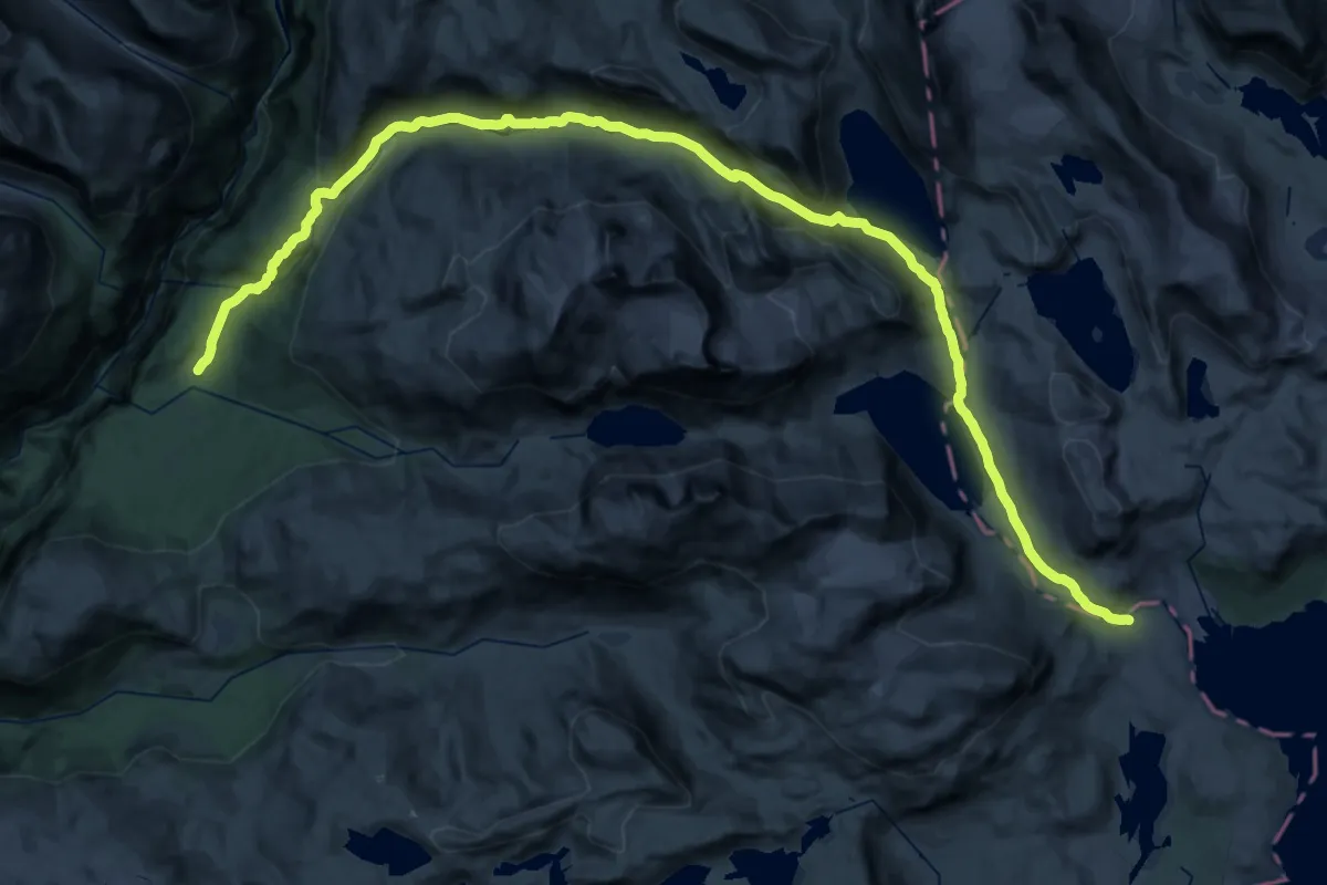
Demanding · Trail
Koldedalen – Ingjerdbu
19.9 km · ↑ 354 m · 6 h
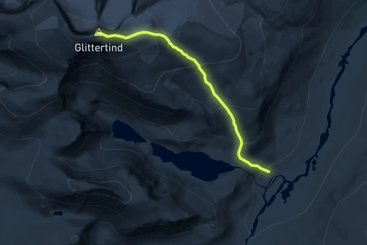
Demanding · Summit
Glitterheim – Glittertinden
11.8 km · ↑ 1048 m · 5 h 3 min
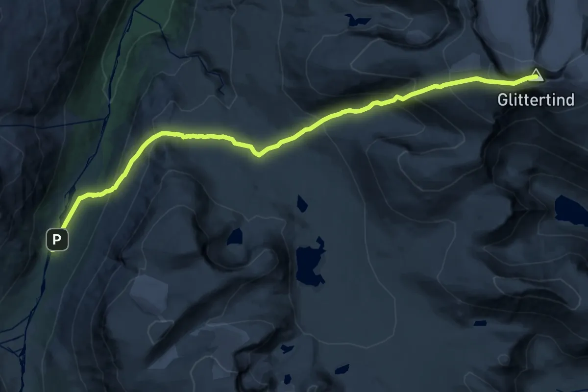
Demanding · Summit
Spiterstulen – Spiterstulen
19.9 km · ↑ 1420 m · 7 h 47 min
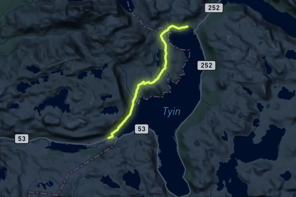
Demanding · Trail
Tyinosen – Tyinholmen
27.9 km · ↑ 518 m · 7 h 42 min
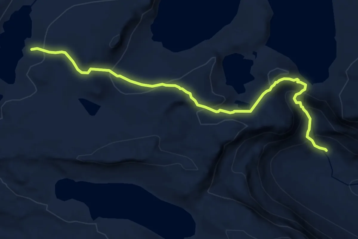
Medium · Cabin
Tomashelleren – Herredalen
9.8 km · ↑ 631 m · 3 h 40 min
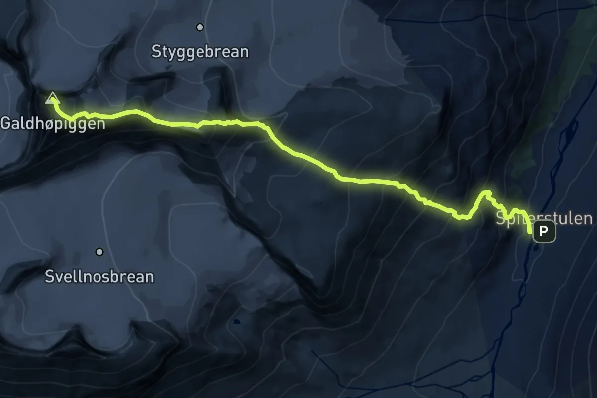
Expert · Summit
Juvasshytta – Spiterstulen
12.0 km · ↑ 1442 m · 5 h 58 min
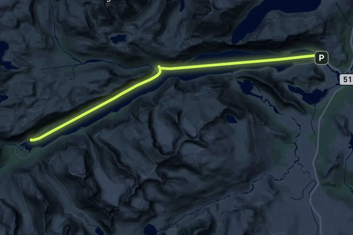
Demanding · Trail
Gjendebu – Gjendesheim
18.2 km · ↑ 0 m · 4 h 33 min
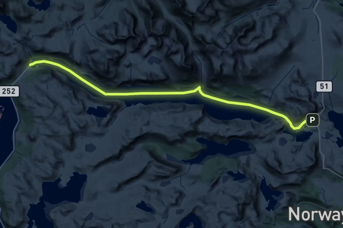
Demanding · Cabin
Eidsbugarden – Bygdin
29.2 km · ↑ 0 m · 7 h 18 min
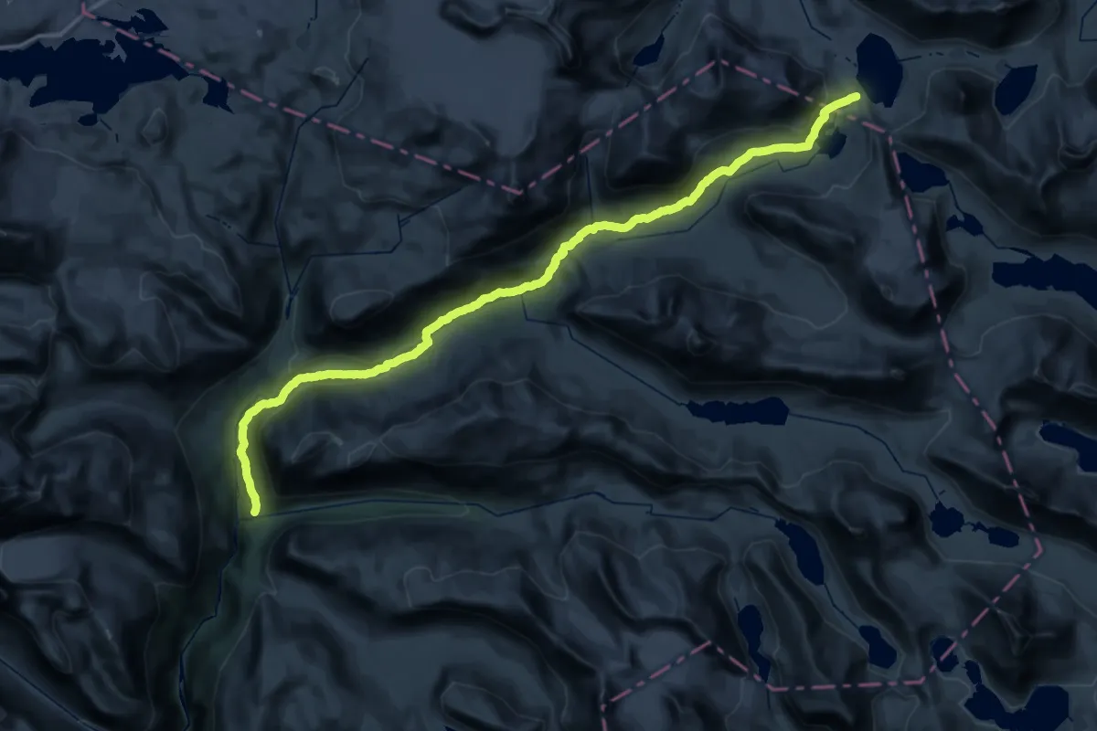
Demanding · Cabin
Skogadalsbøen – Leirvassbu
18.0 km · ↑ 130 m · 5 h 5 min
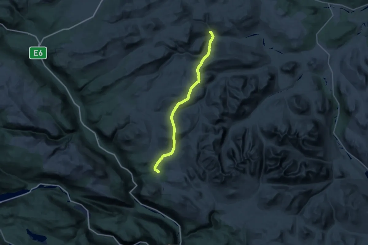
Demanding · Cabin
Høvringen – Grimsdalshytta
26.8 km · ↑ 984 m · 8 h 51 min
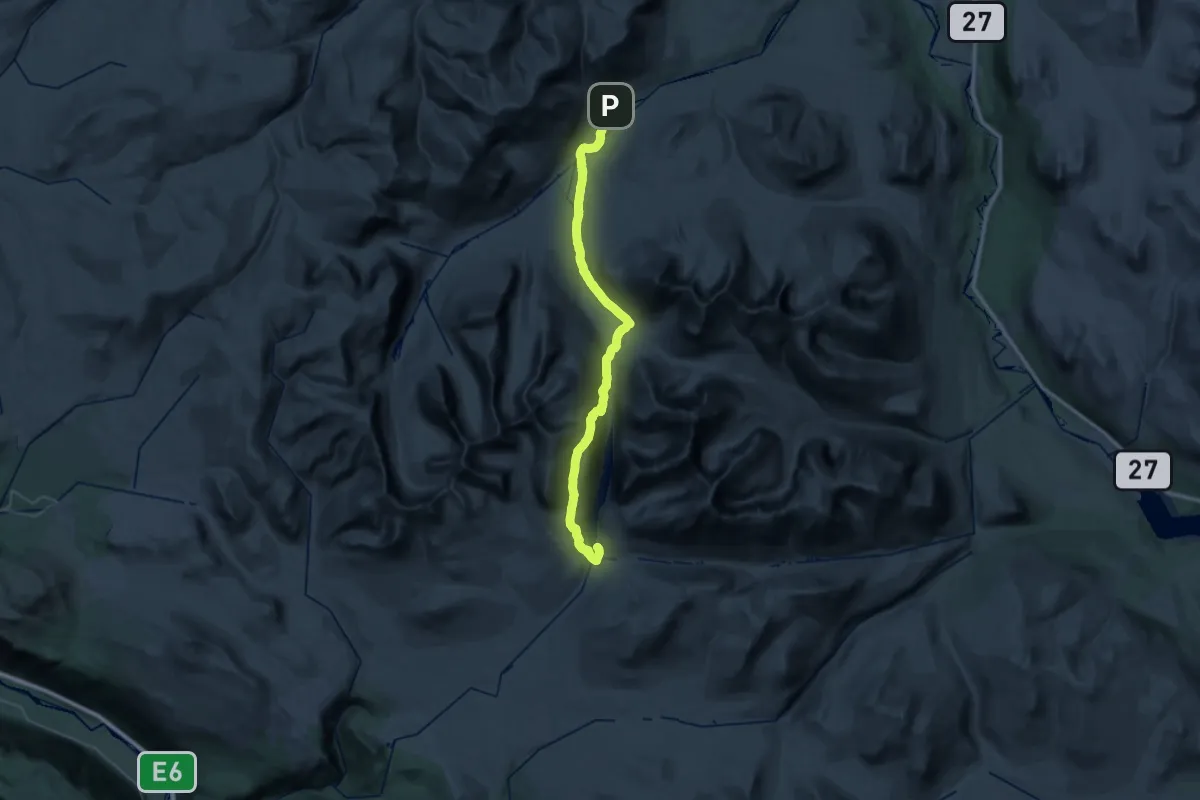
Medium · Cabin
Dørålseter – Rondvassbu
16.7 km · ↑ 711 m · 5 h 40 min
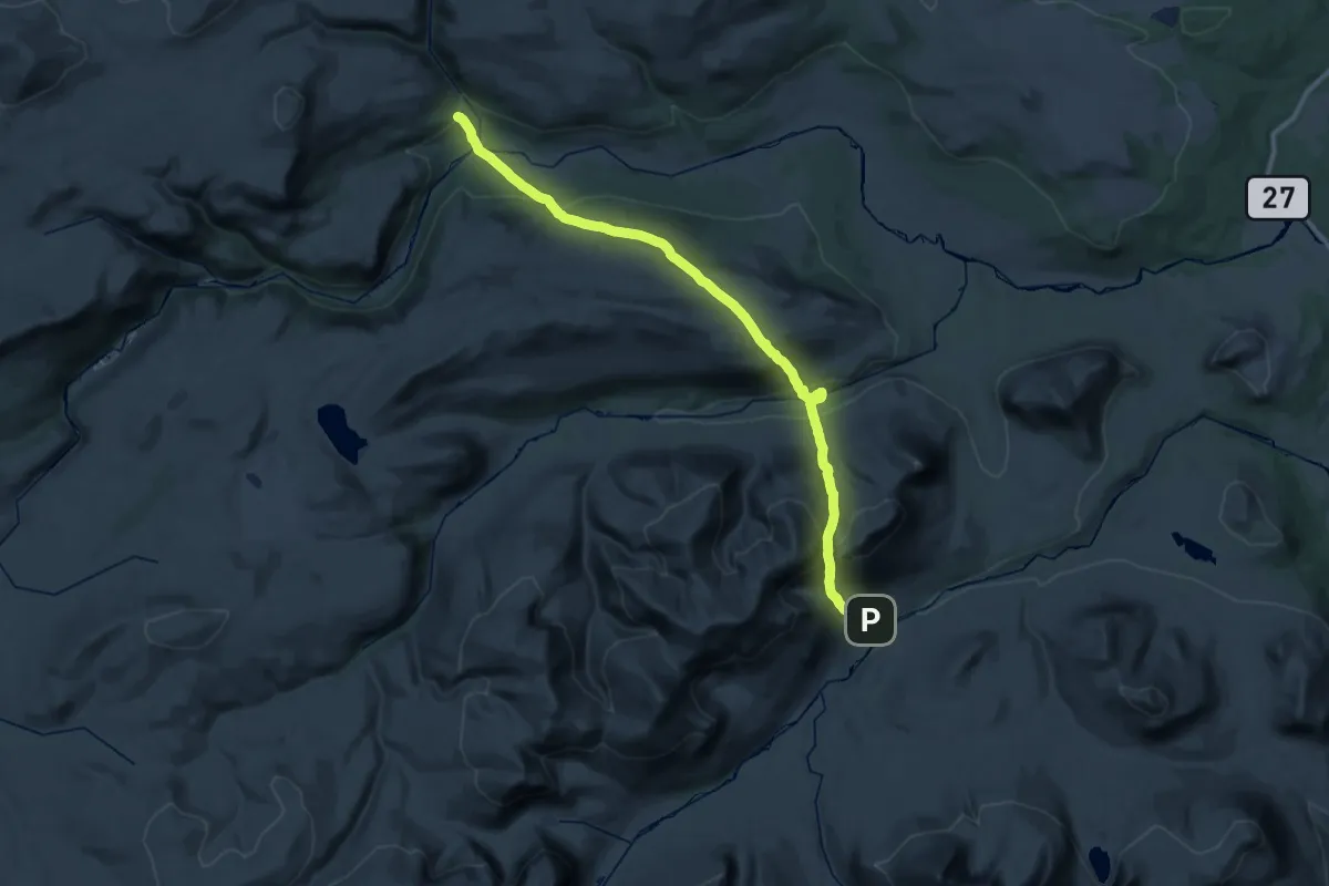
Medium · Cabin
Grimsdalshytta – Dørålseter
15.6 km · ↑ 761 m · 5 h 35 min
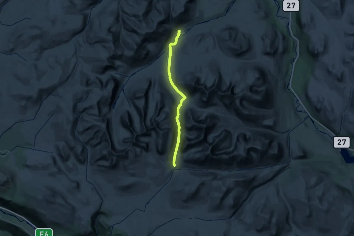
Medium · Cabin
Rondvassbu – Dørålseter (øvre)
15.1 km · ↑ 169 m · 4 h 11 min
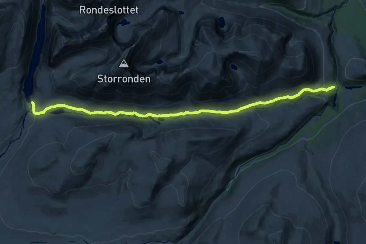
Demanding · Cabin
Rondvassbu – Bjørnhollia
24.6 km · ↑ 541 m · 6 h 59 min
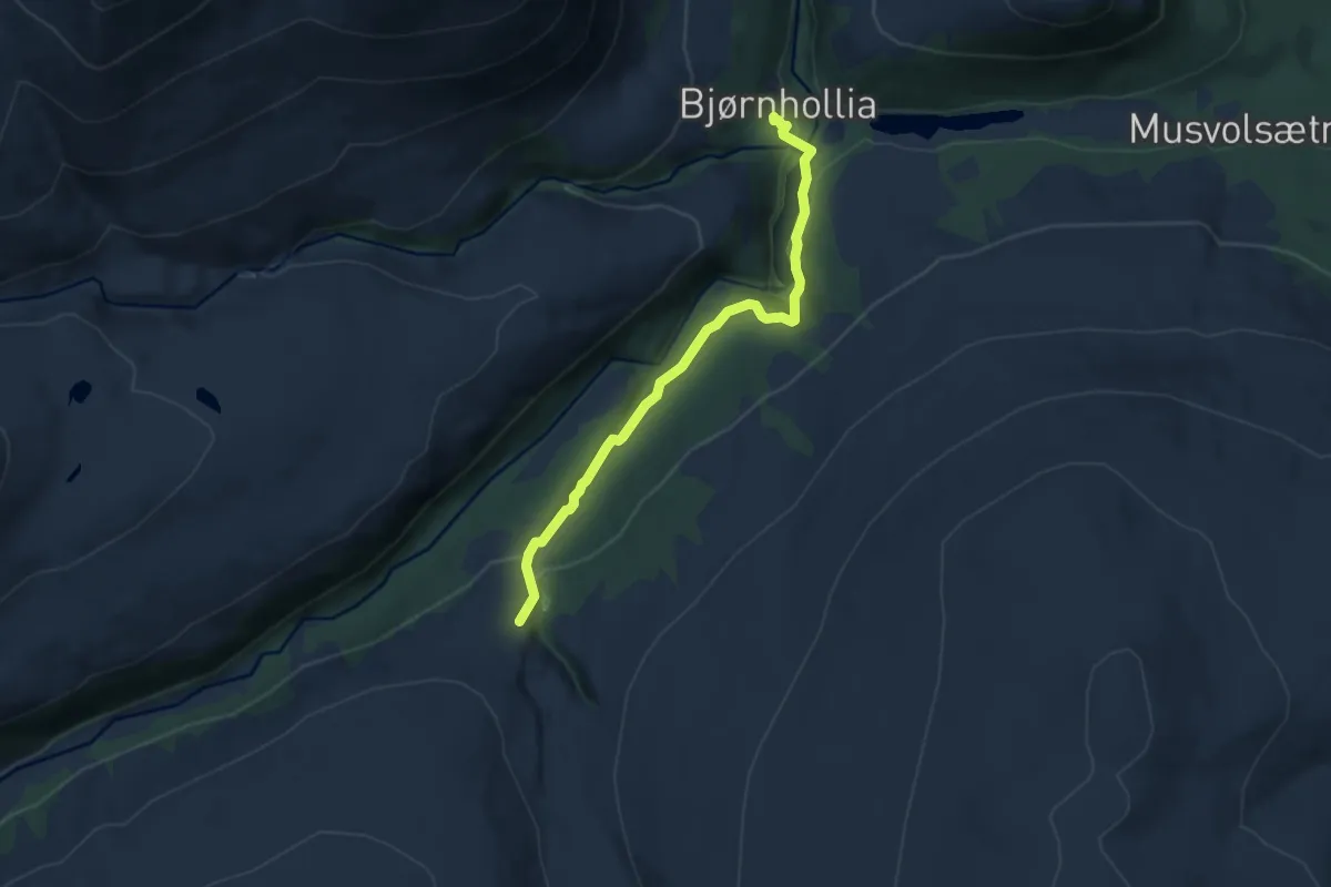
Medium · Cabin
Bjørnhollia – Skjerdalen
6.2 km · ↑ 181 m · 1 h 51 min
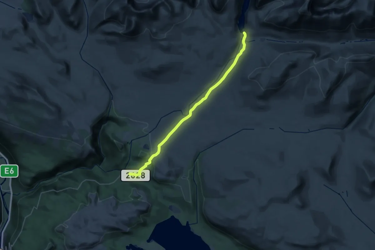
Demanding · Cabin
Mysusæter – Rondvassbu
21.5 km · ↑ 379 m · 5 h 54 min
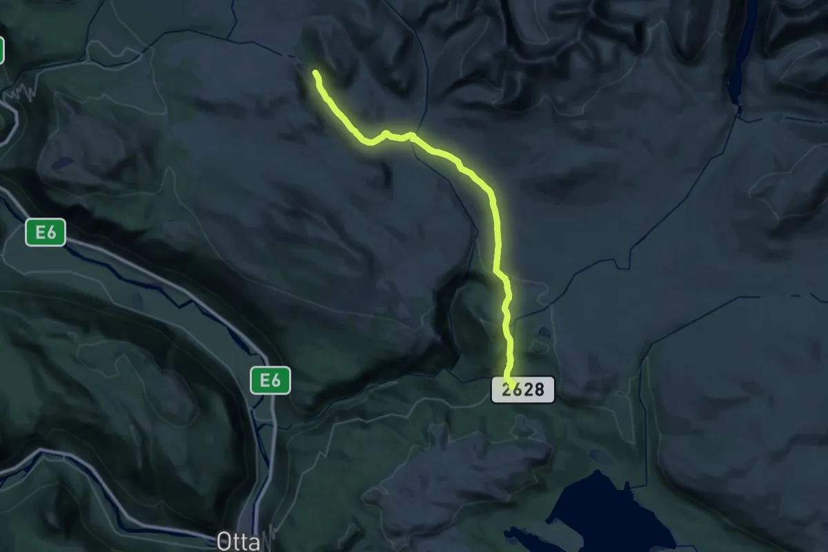
Demanding · Cabin
Mysusæter – Smuksjøsæter
24.7 km · ↑ 399 m · 6 h 41 min
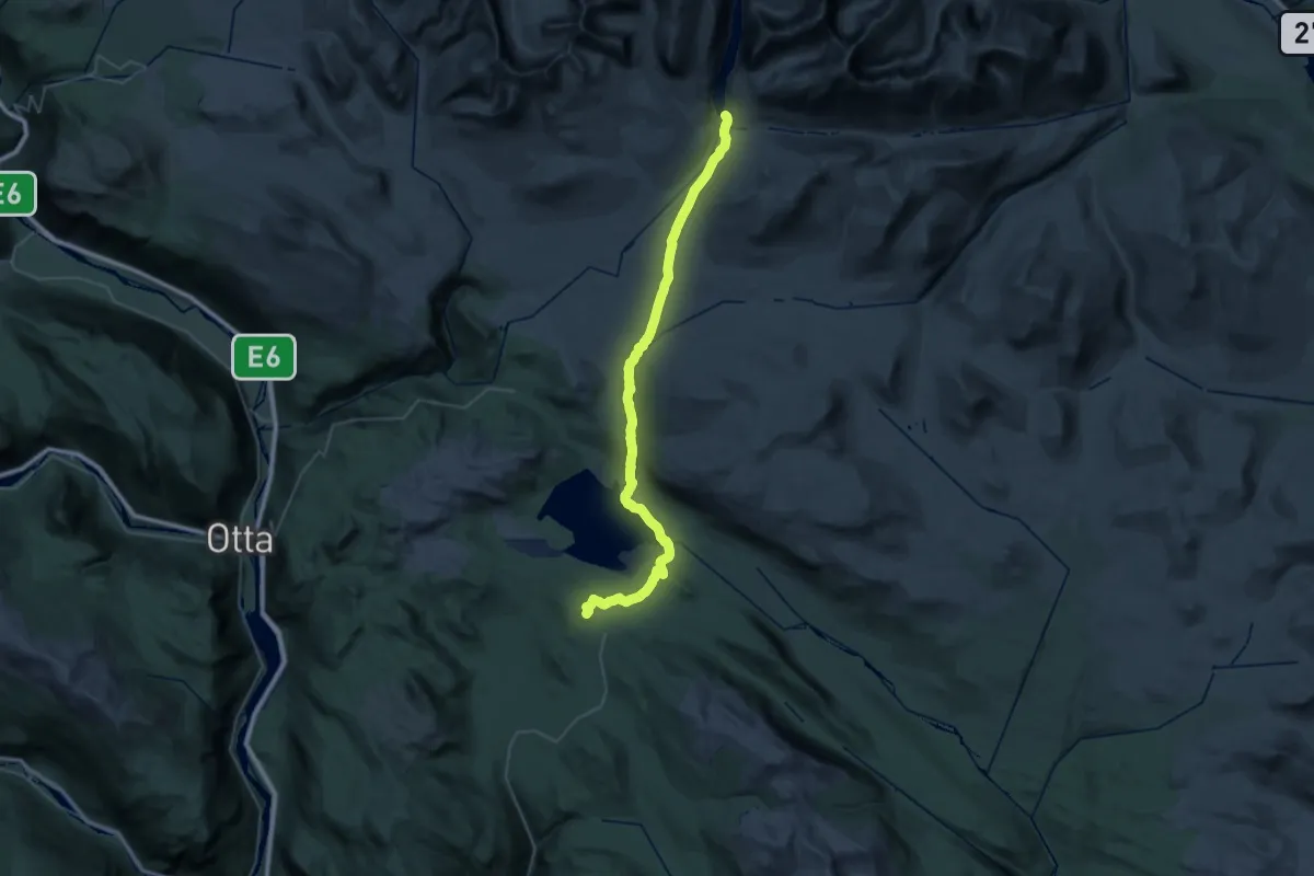
Medium · Cabin
Rondablikk – Rondvassbu
17.9 km · ↑ 421 m · 5 h 15 min
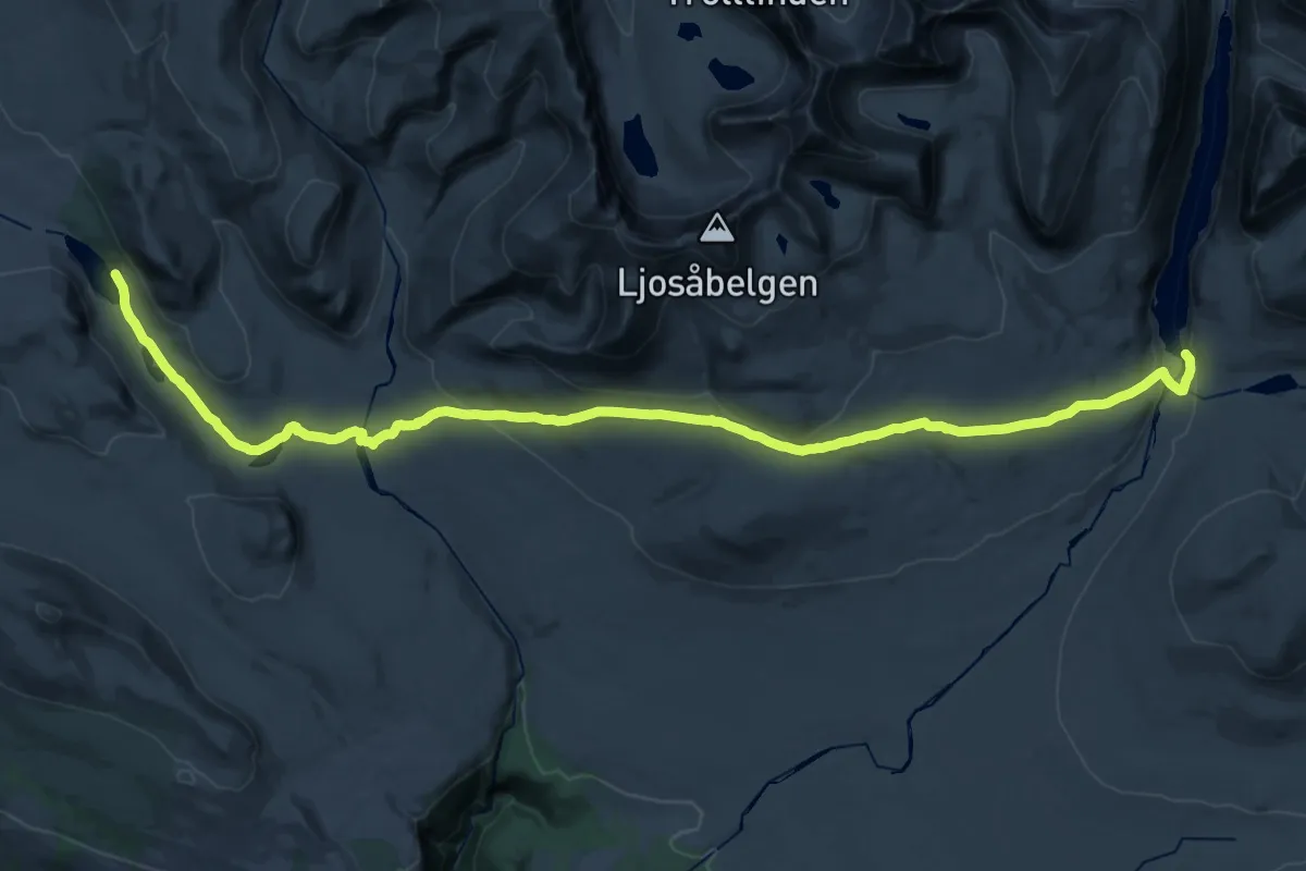
Demanding · Cabin
Smuksjøsæter – Rondvassbu
27.8 km · ↑ 591 m · 7 h 51 min
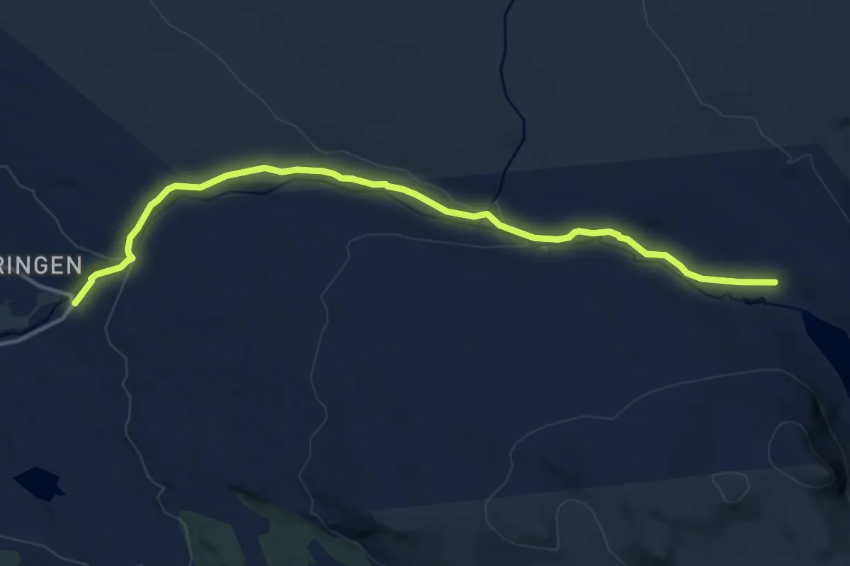
Medium · Trail
Smuksjøsæter – Høvringen
9.3 km · ↑ 160 m · 2 h 32 min
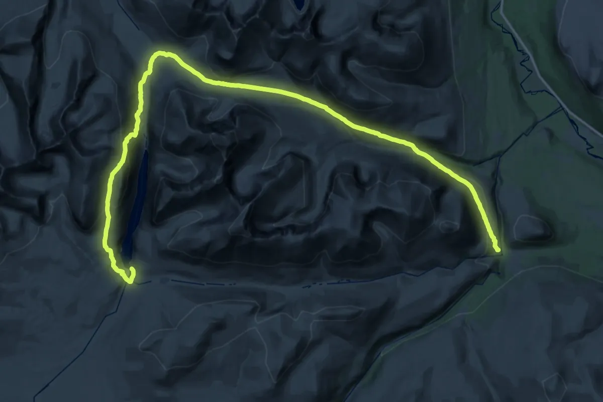
Demanding · Cabin
Rondvassbu – Bjørnhollia
21.7 km · ↑ 773 m · 7 h 13 min
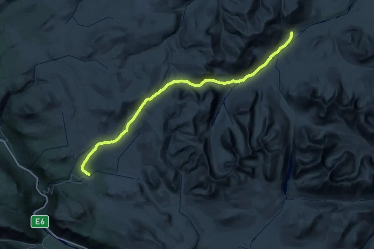
Demanding · Cabin
Høvringen – Dørålseter
24.1 km · ↑ 595 m · 7 h 17 min
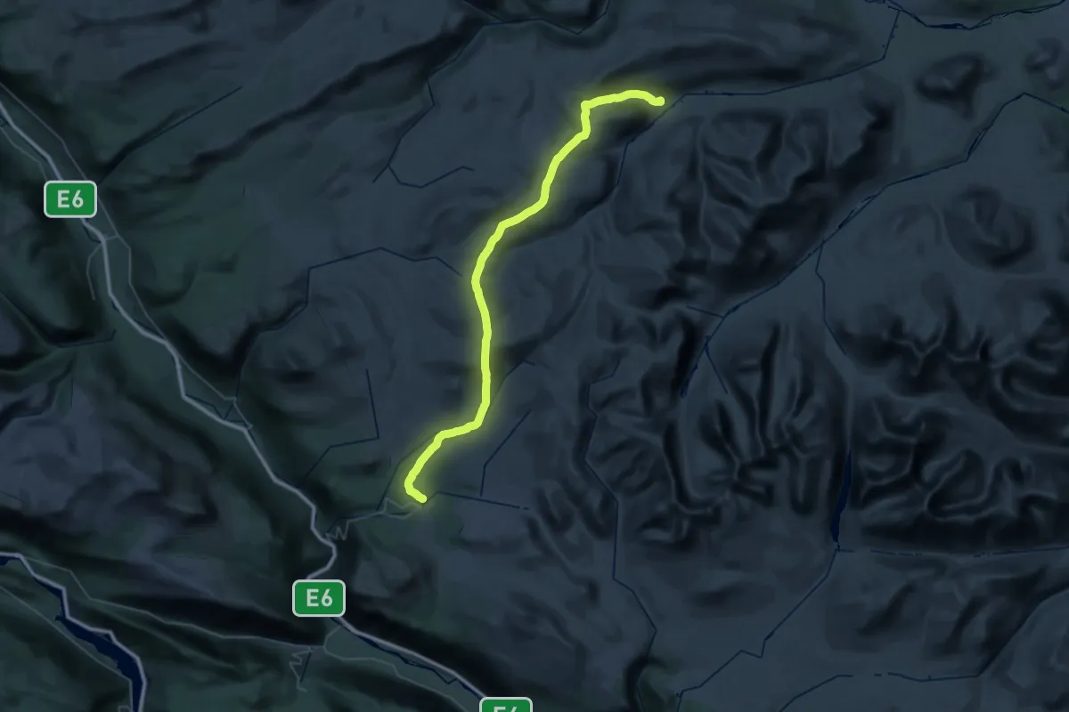
Demanding · Cabin
Høvringen – Haverdalsæter
22.4 km · ↑ 818 m · 7 h 21 min
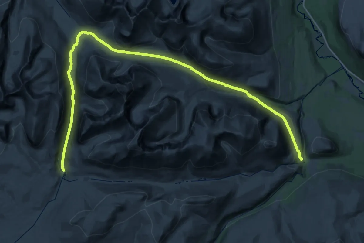
Demanding · Cabin
Rondvassbu – Bjørnhollia
20.0 km · ↑ 349 m · 5 h 53 min
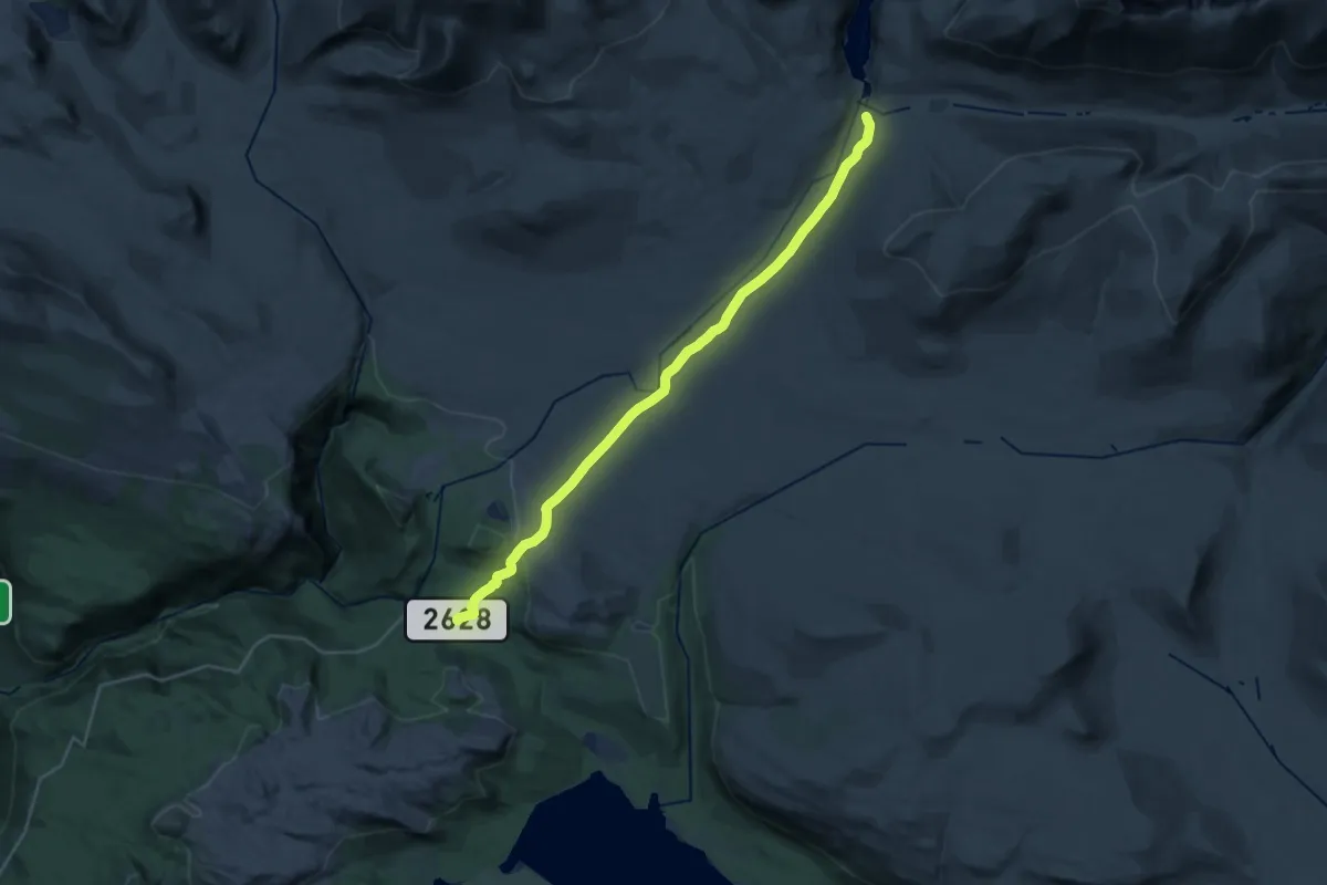
Demanding · Trail
Spranget – Rondvassbu
23.5 km · ↑ 385 m · 6 h 24 min
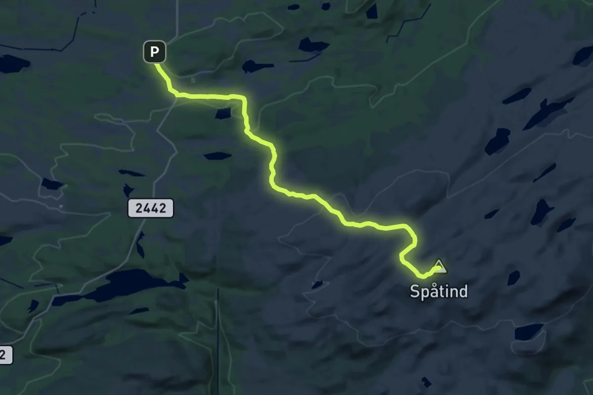
Medium · Summit
Hugulia – Lenningen
16.5 km · ↑ 487 m · 4 h 58 min
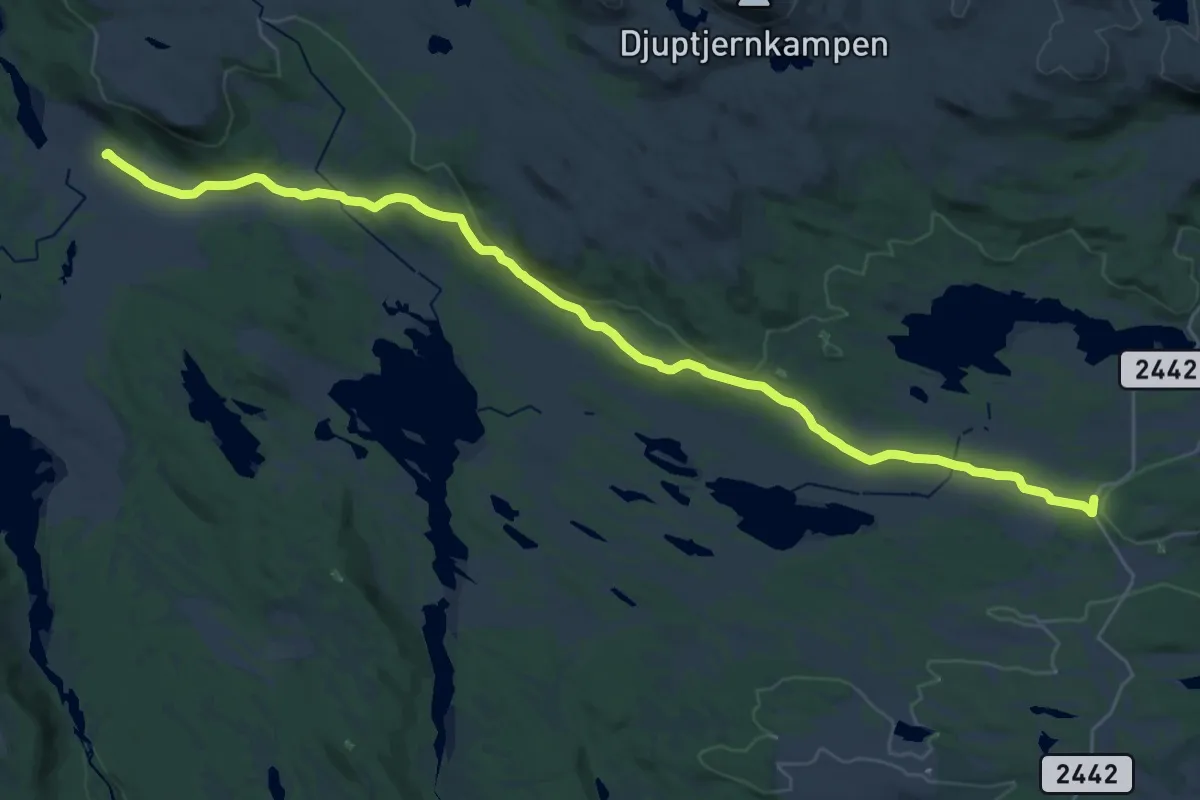
Demanding · Cabin
Svarthamar – Lenningen
23.0 km · ↑ 342 m · 6 h 10 min
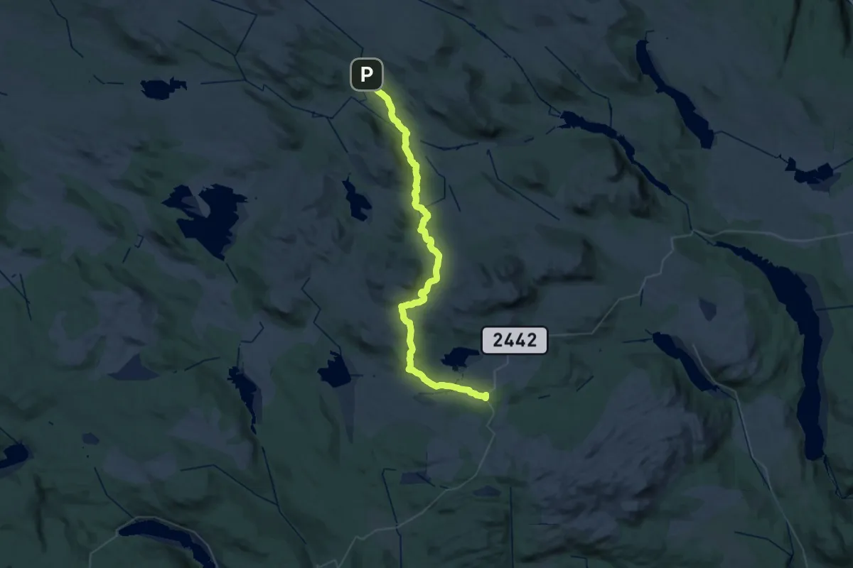
Demanding · Cabin
Liomseter – Lenningen
21.3 km · ↑ 447 m · 6 h 15 min
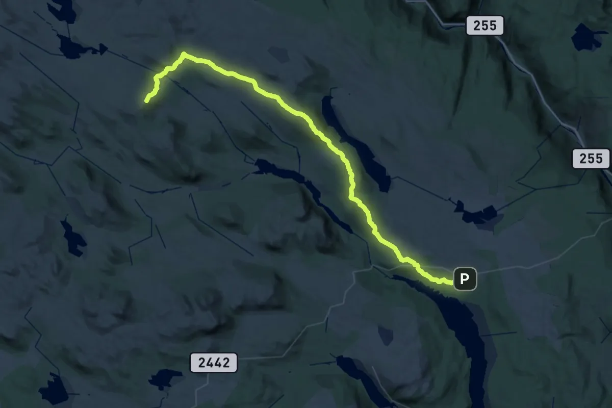
Demanding · Summit
Kittilbua – Liomseter
50.2 km · ↑ 1224 m · 14 h 30 min
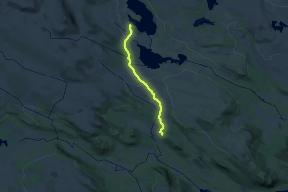
Medium · Cabin
Febua – Liomseter
14.1 km · ↑ 184 m · 3 h 44 min
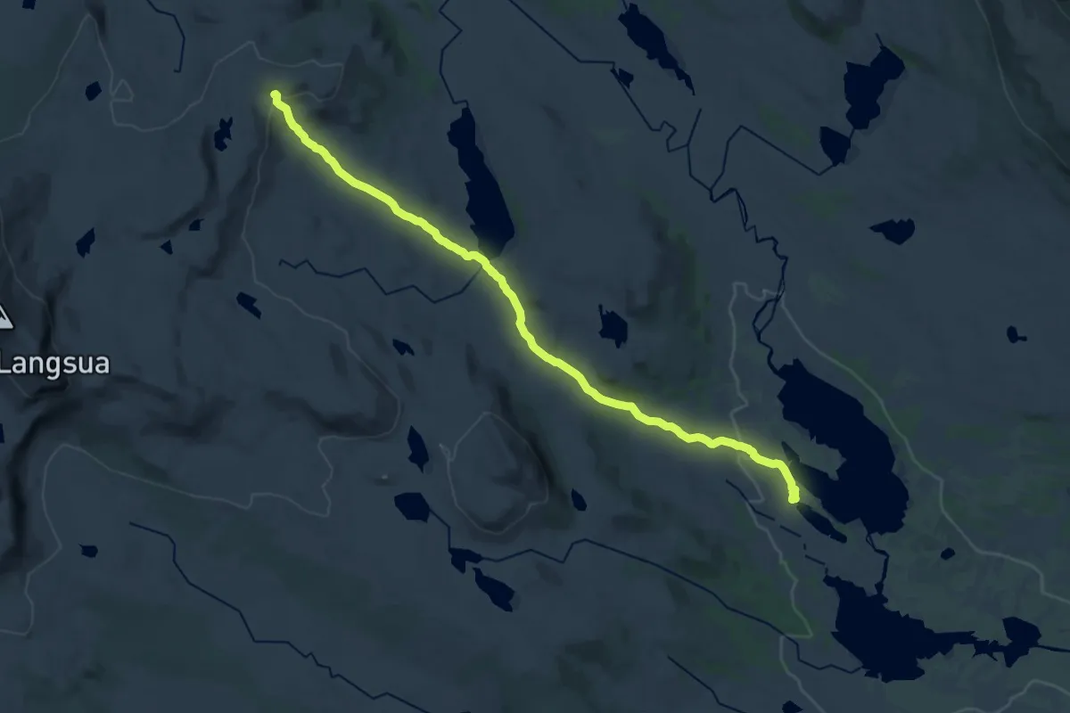
Medium · Cabin
Febua – Storkvelvbu
17.7 km · ↑ 261 m · 4 h 45 min
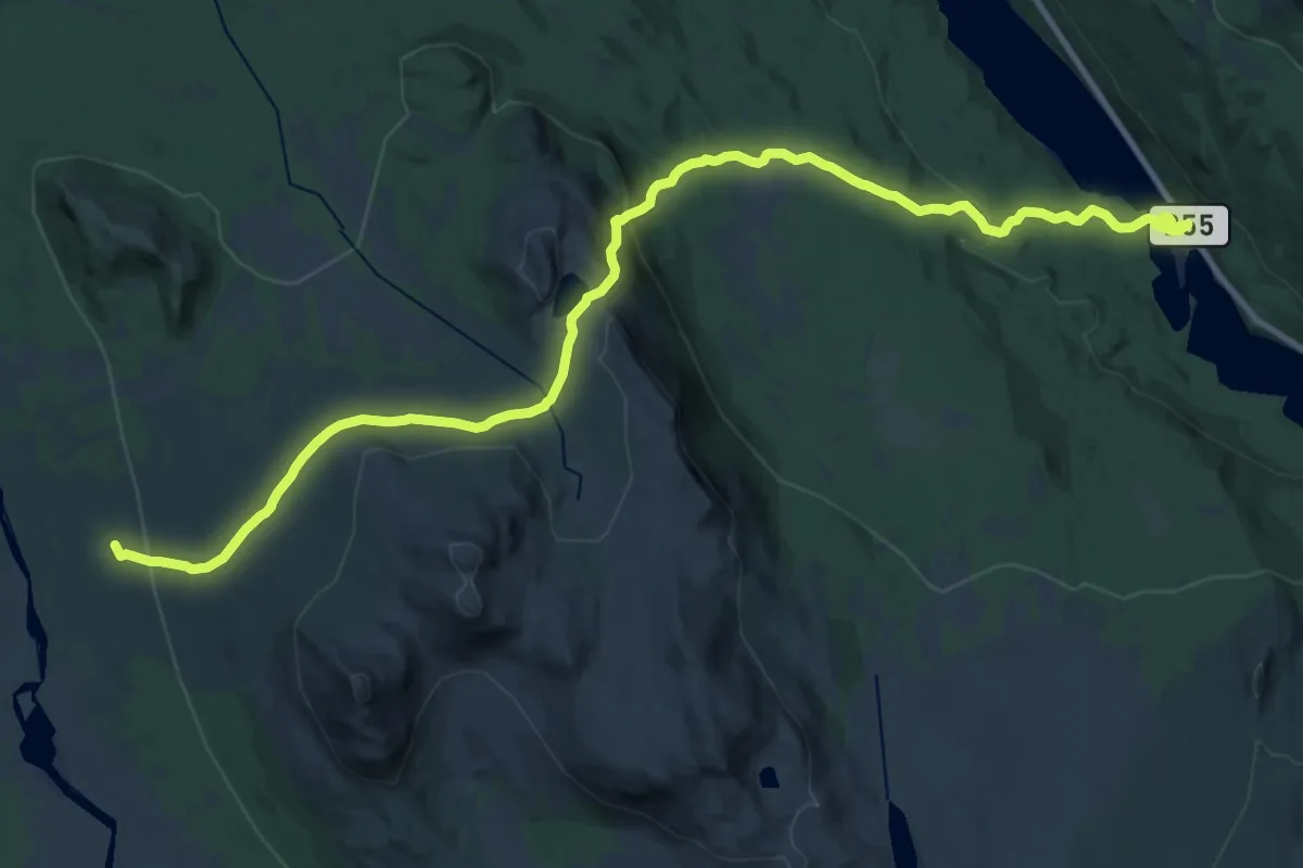
Demanding · Cabin
Storhøliseter – Espedal Fjellstue
21.5 km · ↑ 684 m · 6 h 34 min
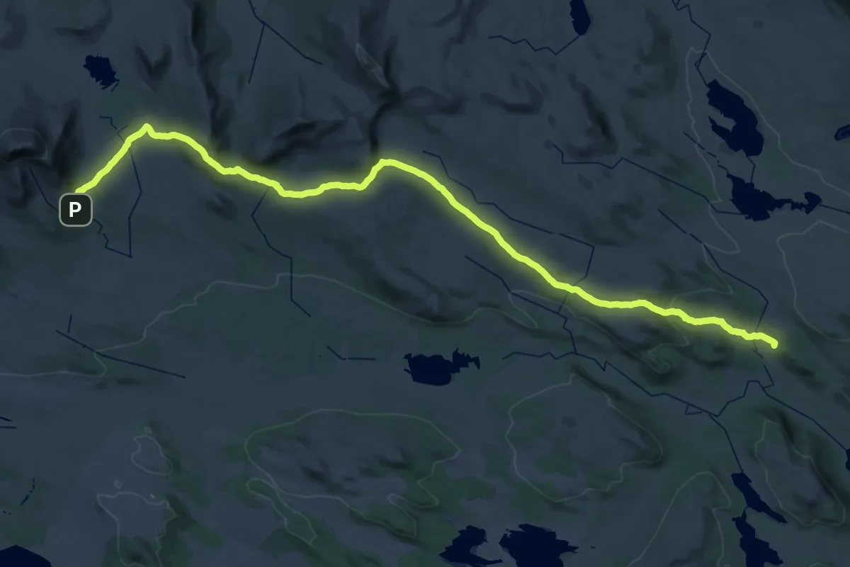
Demanding · Cabin
Storeskag – Liomseter
23.8 km · ↑ 301 m · 6 h 43 min
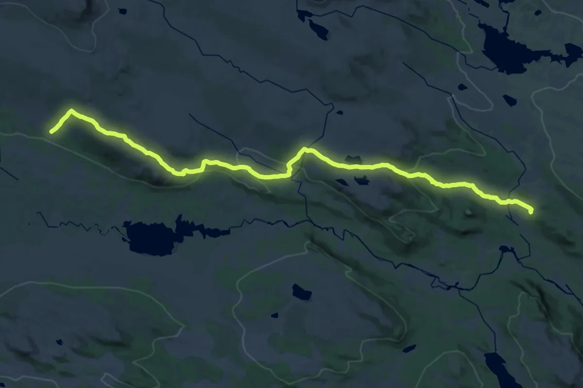
Medium · Cabin
Haldorbu – Liomseter
14.3 km · ↑ 305 m · 4 h 18 min
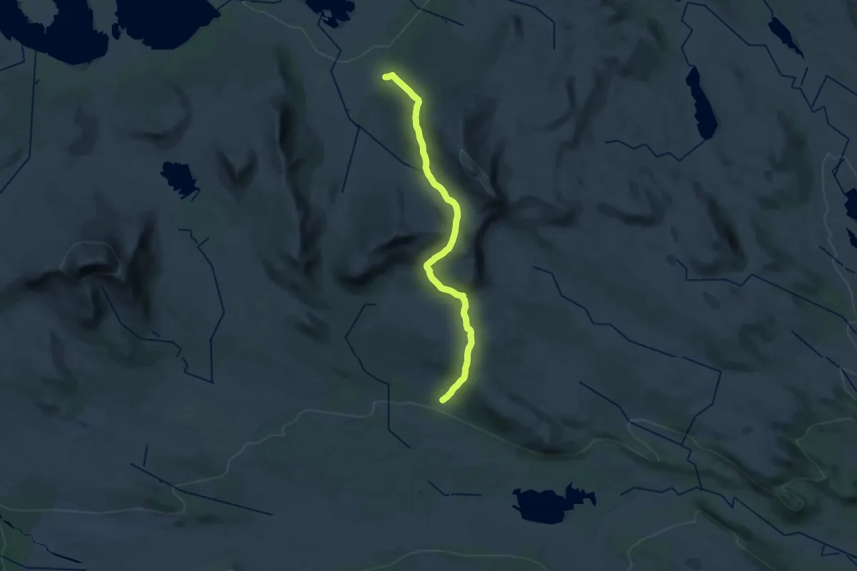
Demanding · Cabin
Haldorbu – Skriurusten
20.4 km · ↑ 804 m · 6 h 34 min
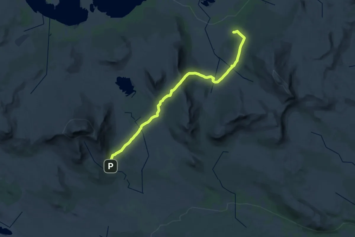
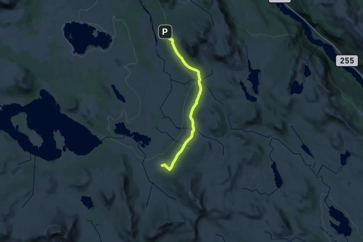
Demanding · Cabin
Storeskag – Skriurusten
22.4 km · ↑ 586 m · 6 h 34 min
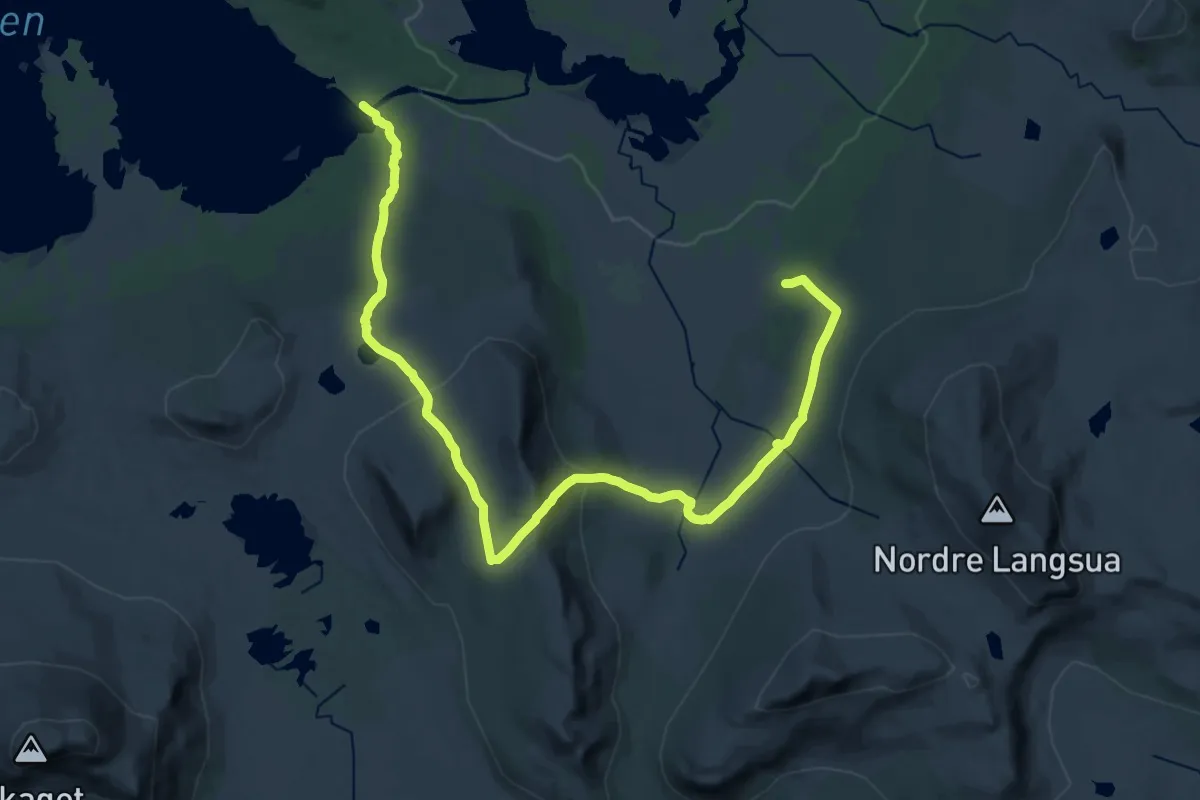
Demanding · Cabin
Storhølisæter – Skriurusten
24.4 km · ↑ 417 m · 6 h 39 min
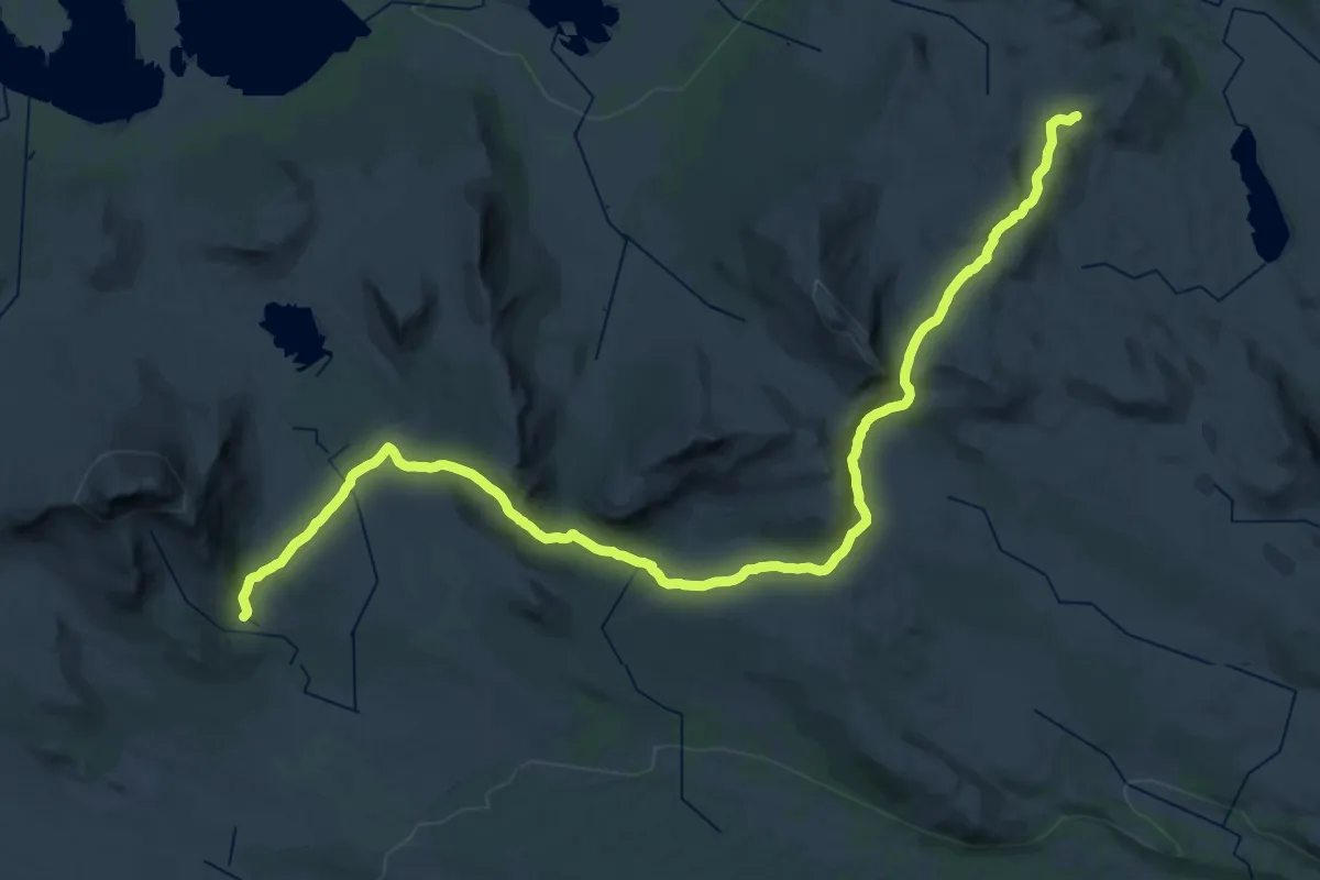
Demanding · Cabin
Øyvatnet – Skriurusten
23.0 km · ↑ 710 m · 6 h 59 min
Demanding · Cabin
Storkvelvbu – Storeskag
18.1 km · ↑ 329 m · 5 h 17 min
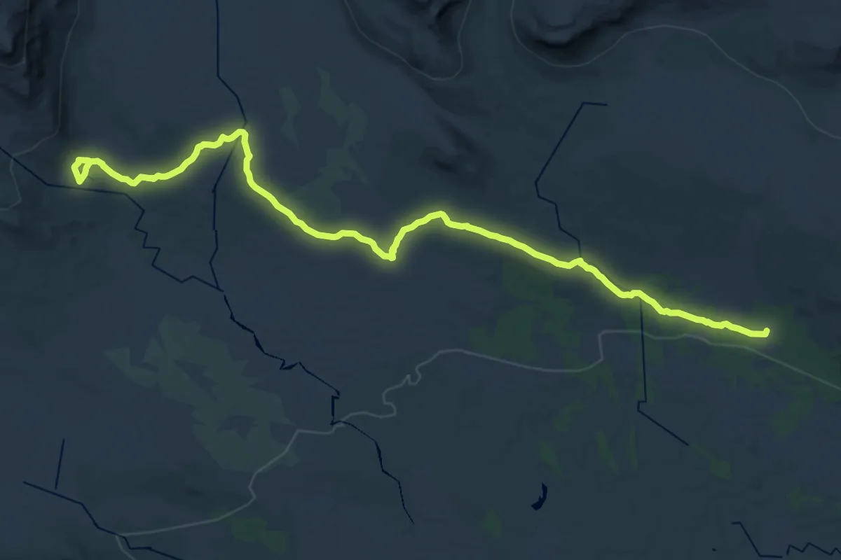
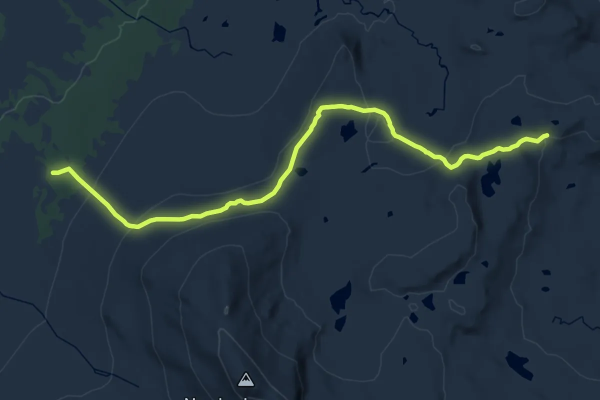
Demanding · Cabin
Haldorbu – Storeskag
19.4 km · ↑ 287 m · 5 h 13 min
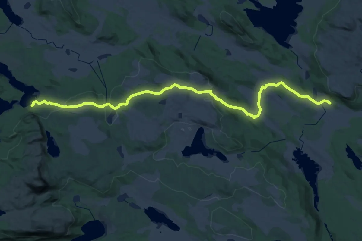
Medium · Cabin
Storkvelvbu – Skriurusten
13.7 km · ↑ 489 m · 4 h 18 min
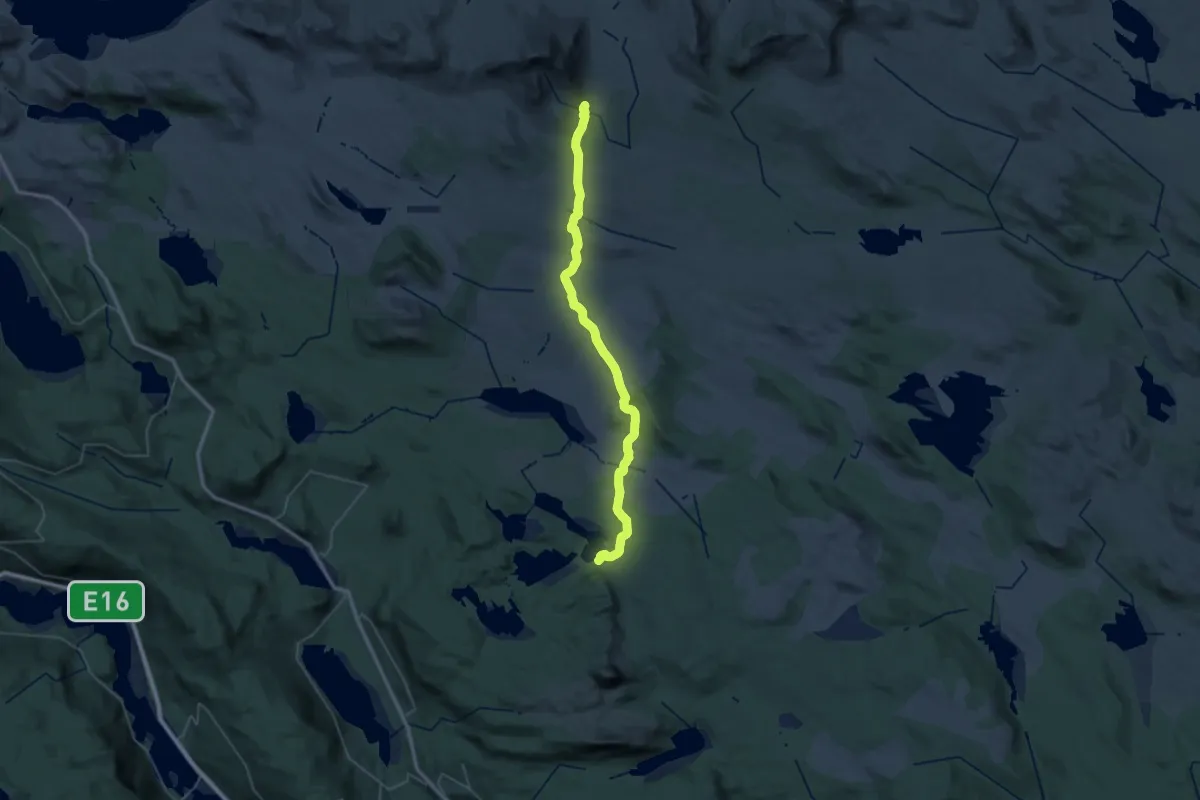
Medium · Trail
Svarthamar – Vangsjøen
18.0 km · ↑ 373 m · 5 h 17 min
Medium · Cabin
Storeskag – Vangsjøen
17.7 km · ↑ 432 m · 5 h 16 min
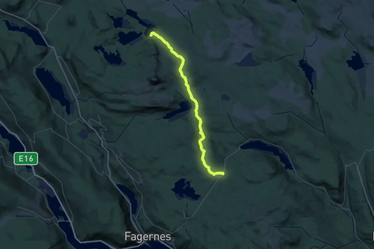
Medium · Trail
Nythun – Vangsjøen
16.6 km · ↑ 335 m · 4 h 54 min
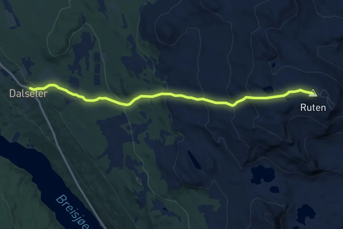
Medium · Summit
Ruten – Dalseter
10.8 km · ↑ 624 m · 3 h 55 min
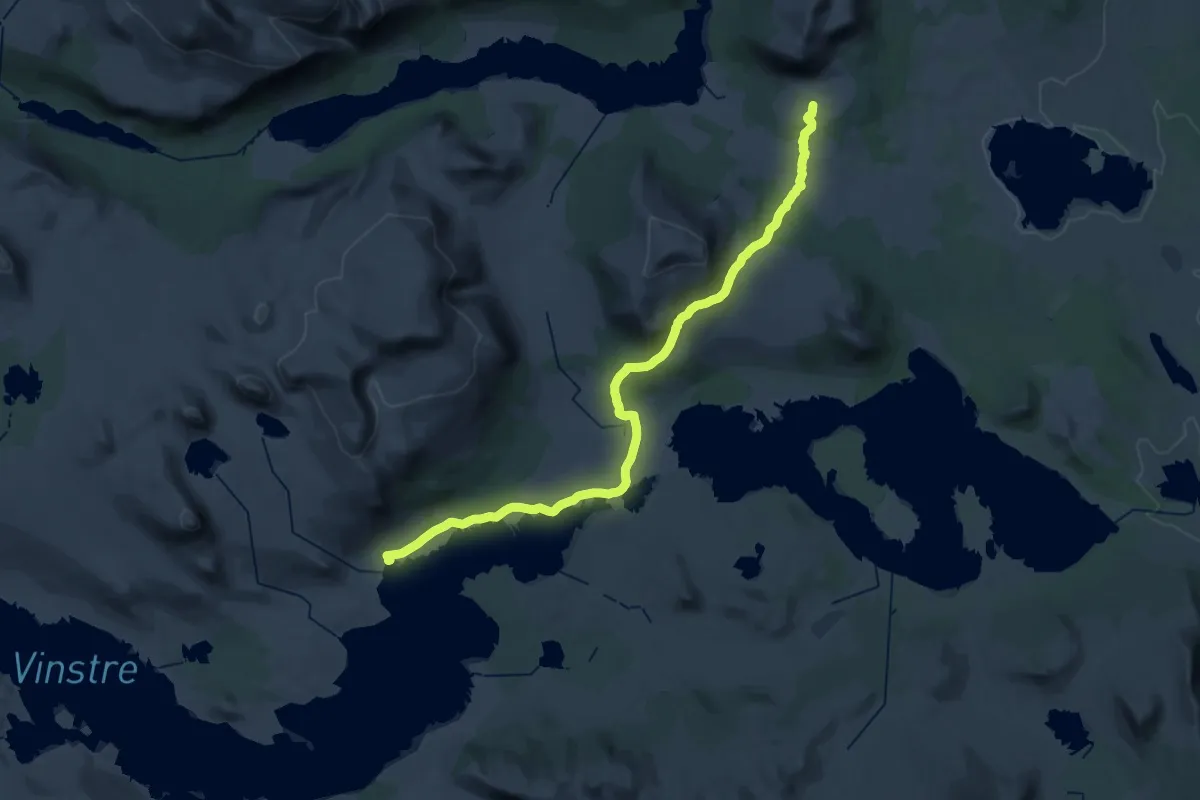
Medium · Cabin
Oskampen – Haugseter
15.9 km · ↑ 206 m · 4 h 29 min
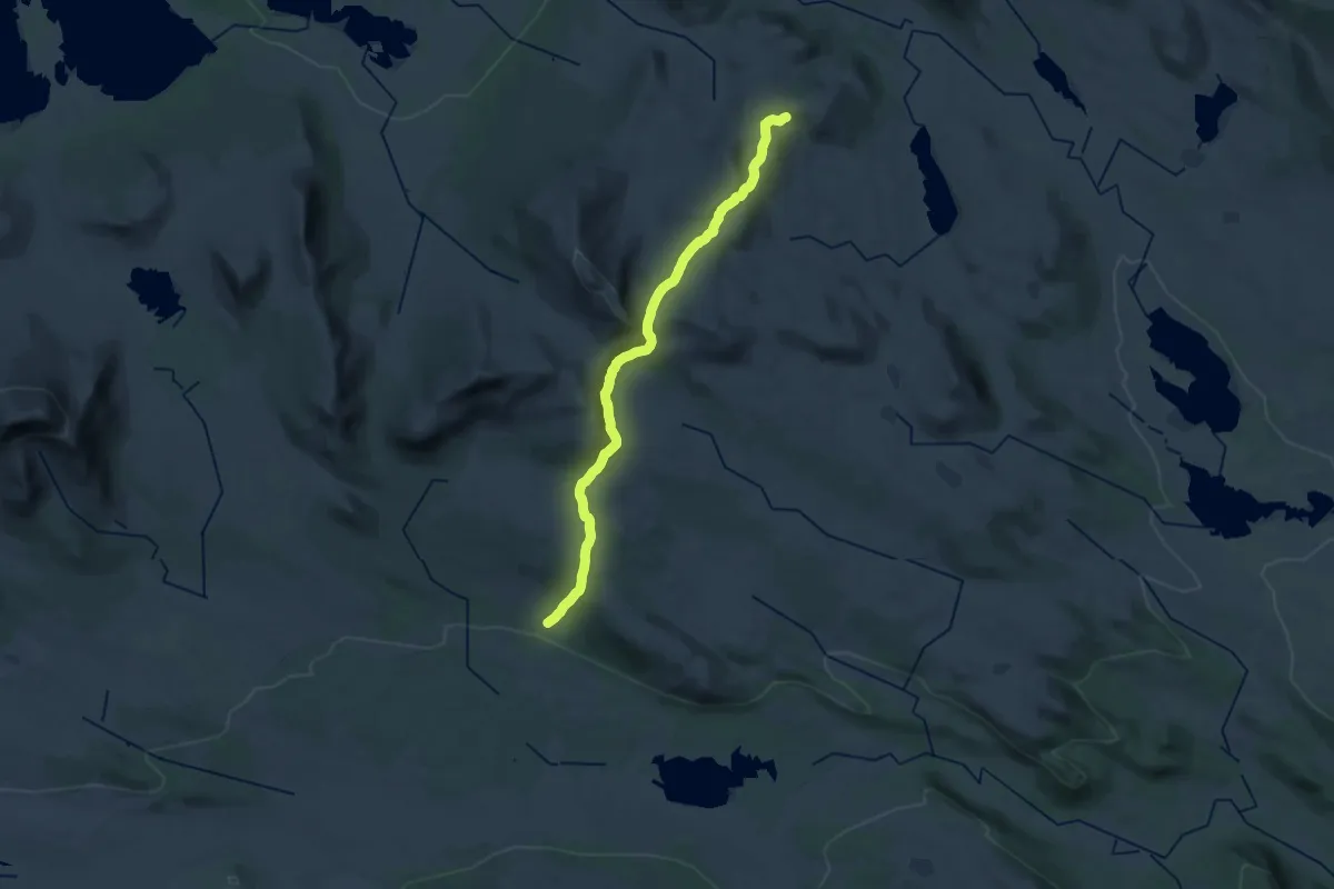
Demanding · Cabin
Storkvelvbu – Haldorbu
21.4 km · ↑ 596 m · 6 h 21 min