Trails in Norway
7,453 hiking trails, each with its route, climb, walking time and grade.
All trails, page 146 of 156
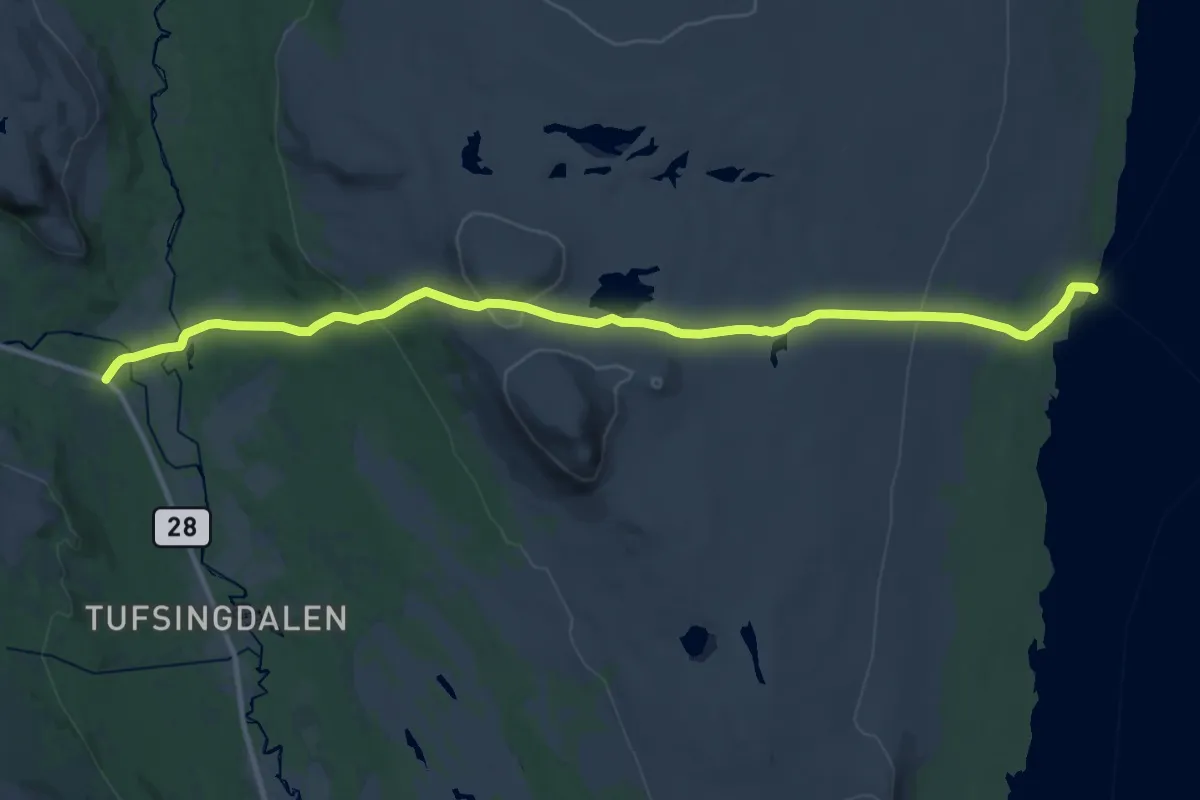
Demanding · Trail
Moen / Tufsingdal – Femundshytta
22.5 km · ↑ 722 m · 6 h 53 min
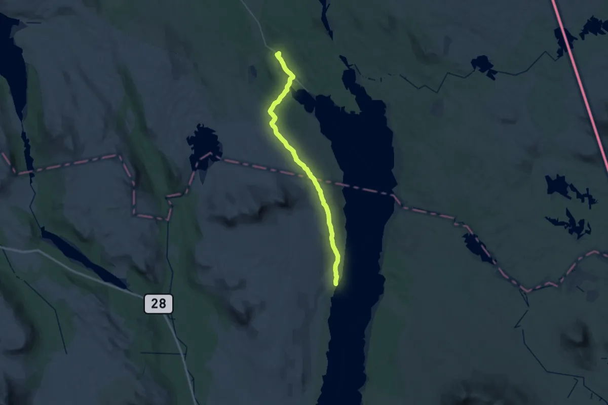
Medium · Trail
Langen – Femundshytta
16.1 km · ↑ 164 m · 4 h 23 min
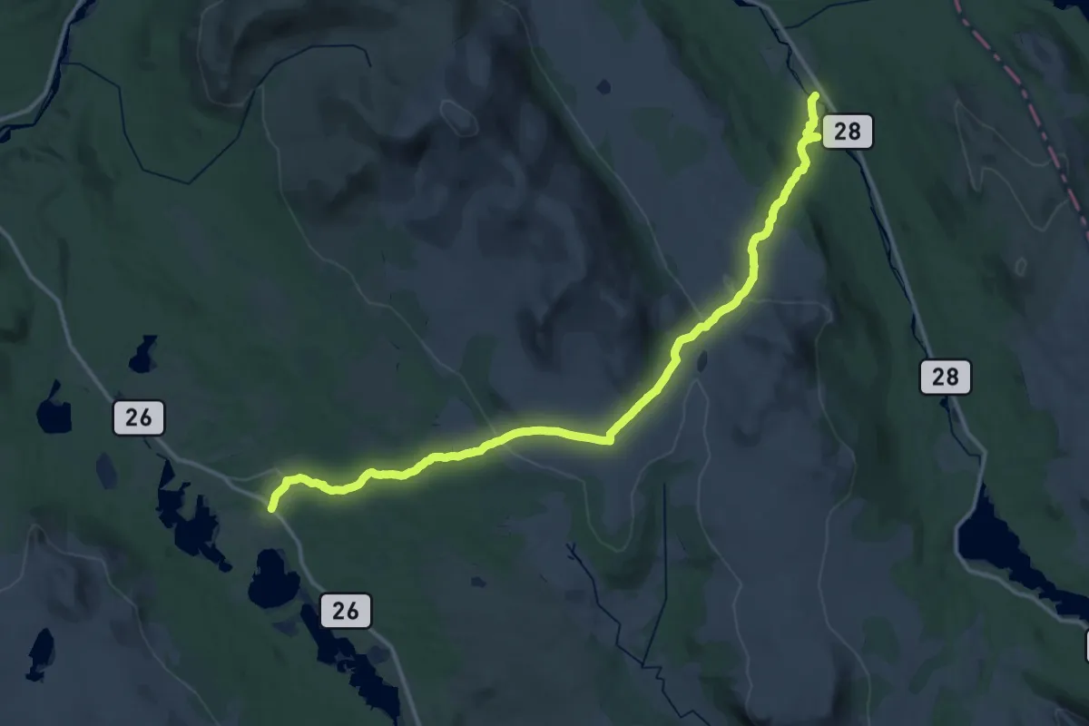
Medium · Trail
Narjordet – Hodalen
17.1 km · ↑ 391 m · 5 h 4 min
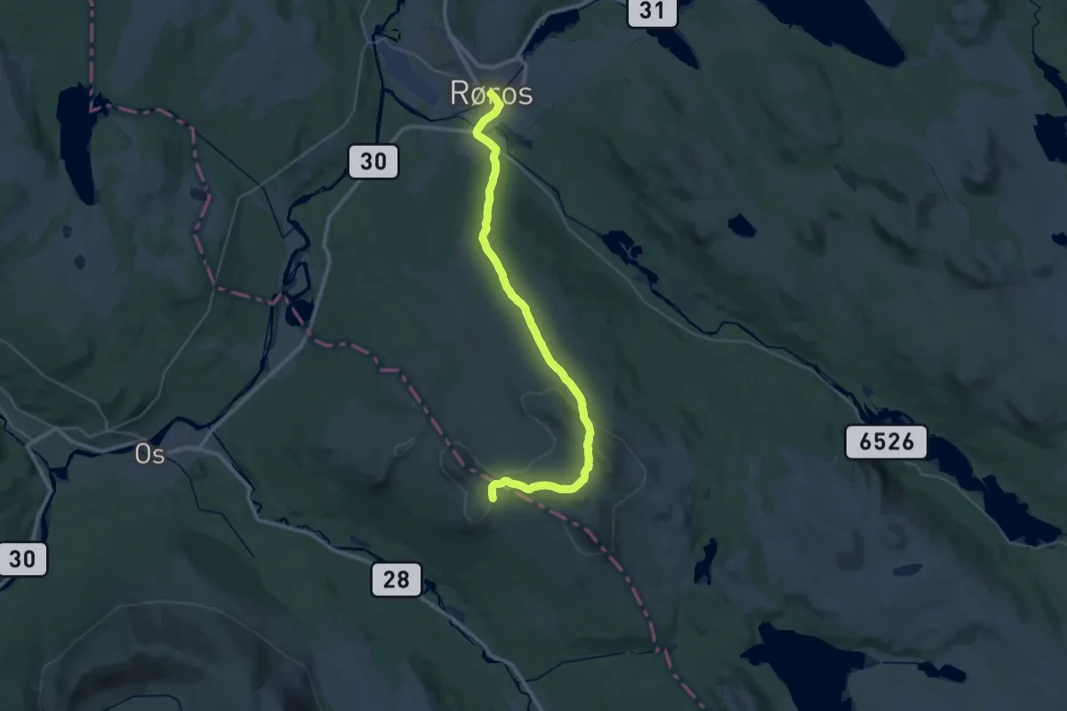
Demanding · Trail
Narjordet – Røros
27.0 km · ↑ 514 m · 7 h 30 min
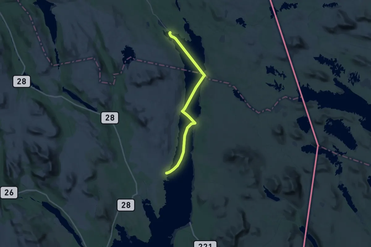
Demanding · Trail
Femunden (båt) – Femunden
25.8 km · ↑ 0 m · 6 h 27 min
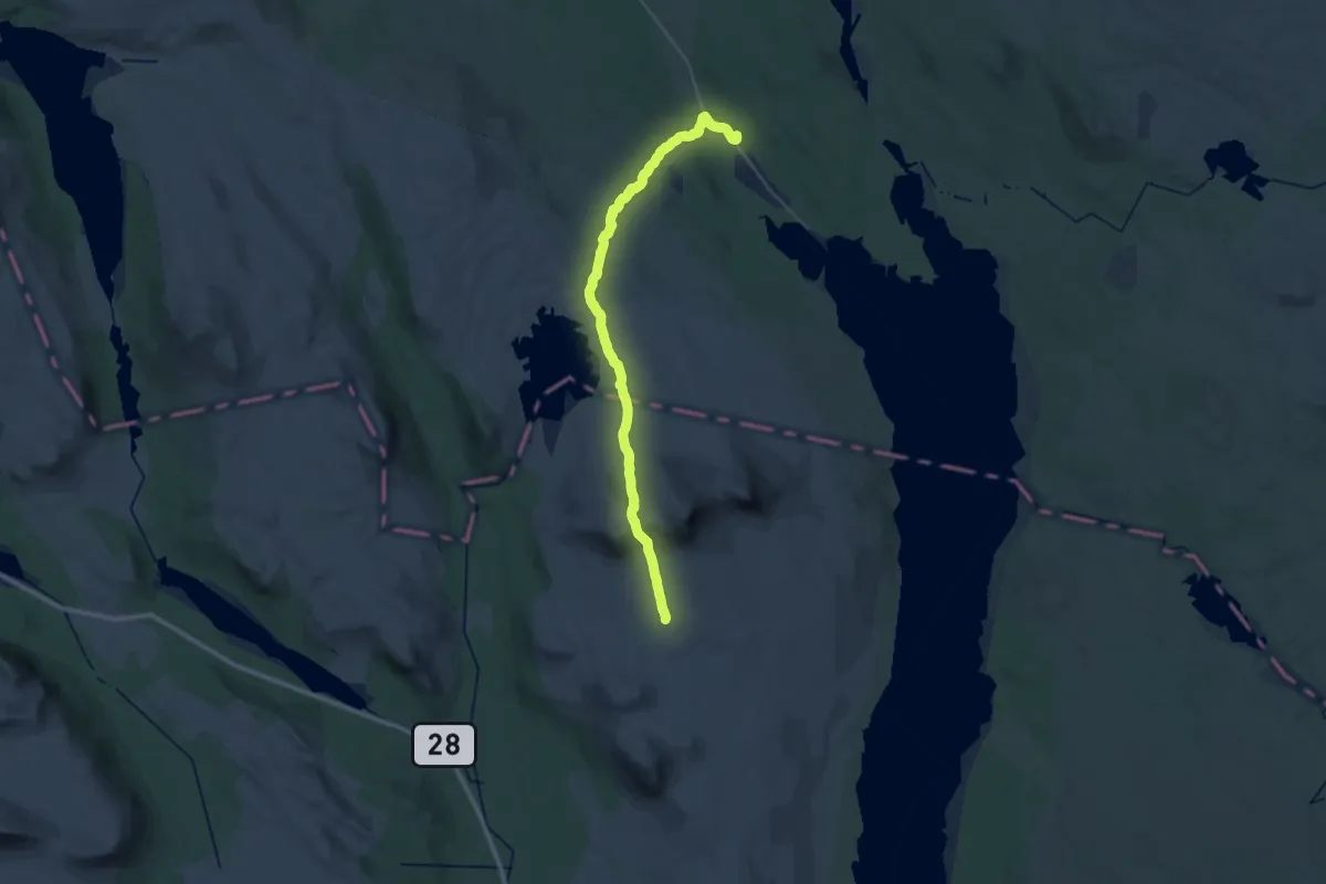
Medium · Trail
Jonasvollen – Langen
15.1 km · ↑ 205 m · 4 h 22 min
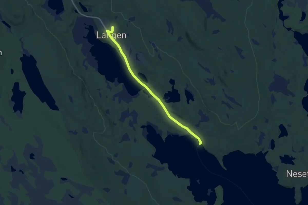
Easy · Trail
Synnervika – Langen
6.2 km · ↑ 19 m · 1 h 31 min
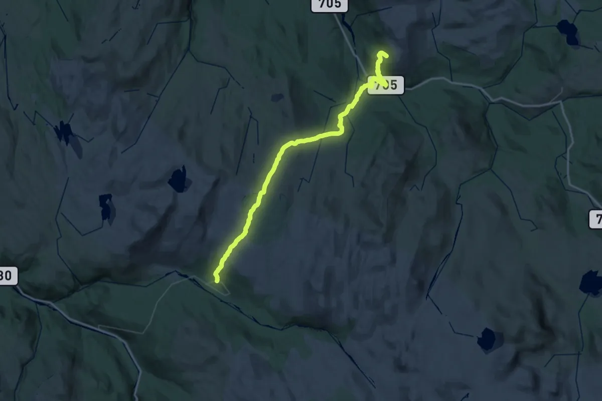
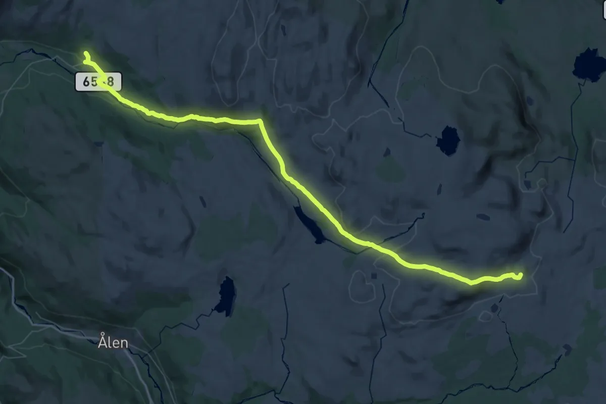
Demanding · Cabin
Græslihytta – Aunegrenda / Nordpå
20.9 km · ↑ 669 m · 6 h 39 min
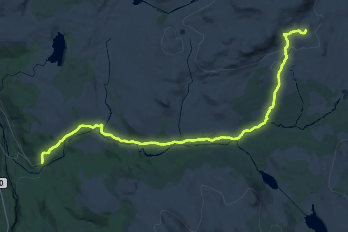
Demanding · Cabin
Kjølihytta – Aunegrenda / Nordpå
24.6 km · ↑ 372 m · 7 h 12 min
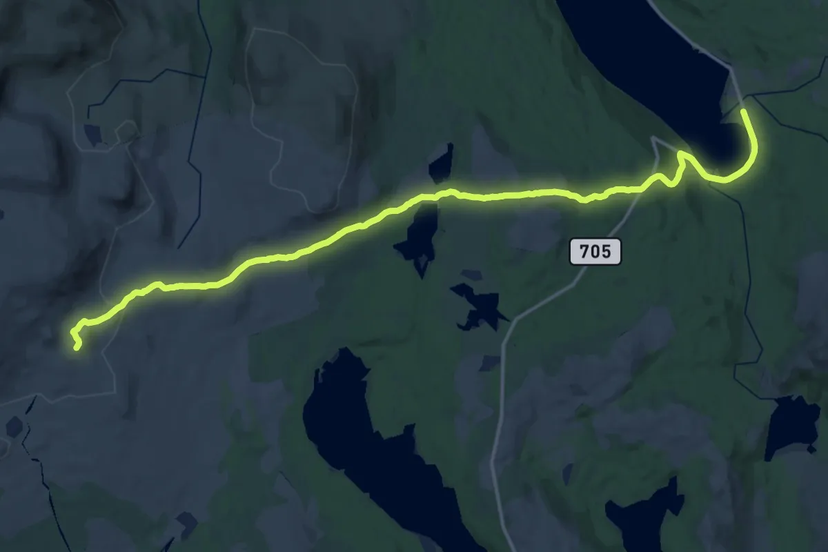
Demanding · Cabin
Kjølihytta – Reitan
20.2 km · ↑ 583 m · 6 h 3 min
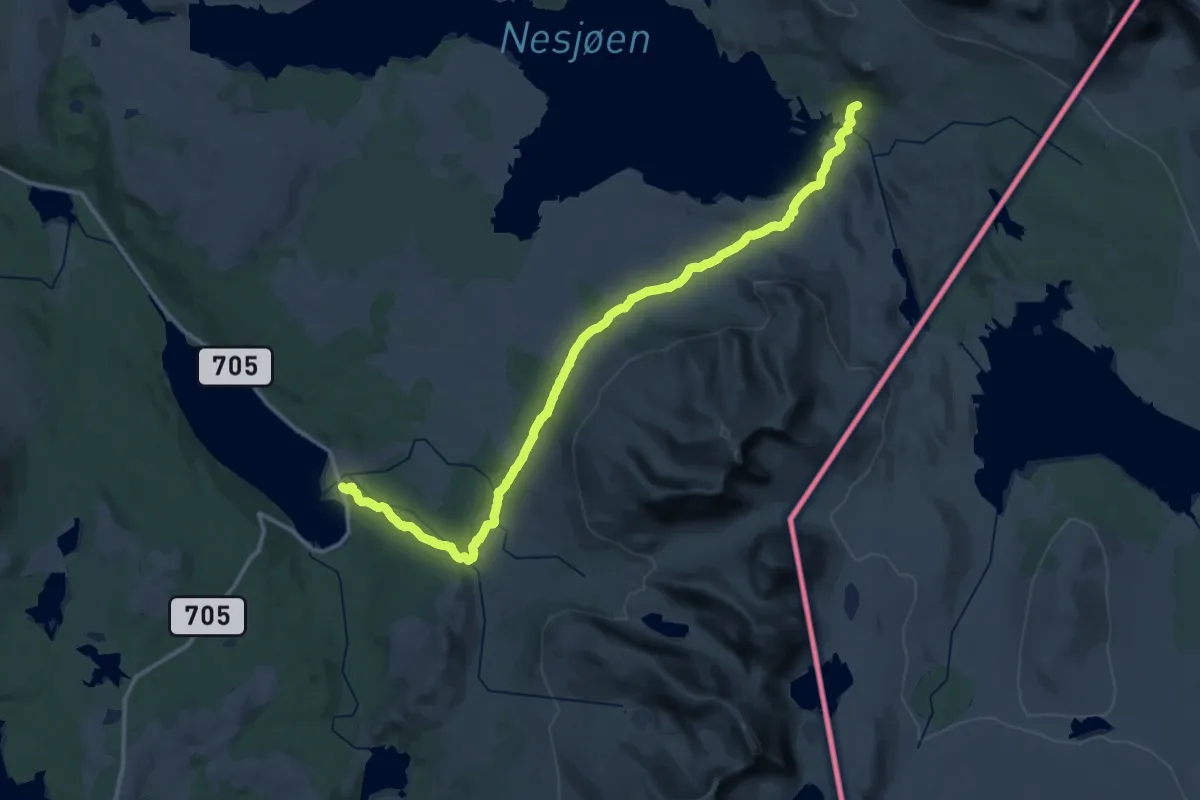
Medium · Cabin
Kjølihytta – Væktstua / Stugudalen
15.8 km · ↑ 492 m · 4 h 48 min
Medium · Cabin
Nedalshytta – Væktstua / Stugudalen
17.0 km · ↑ 415 m · 5 h 4 min
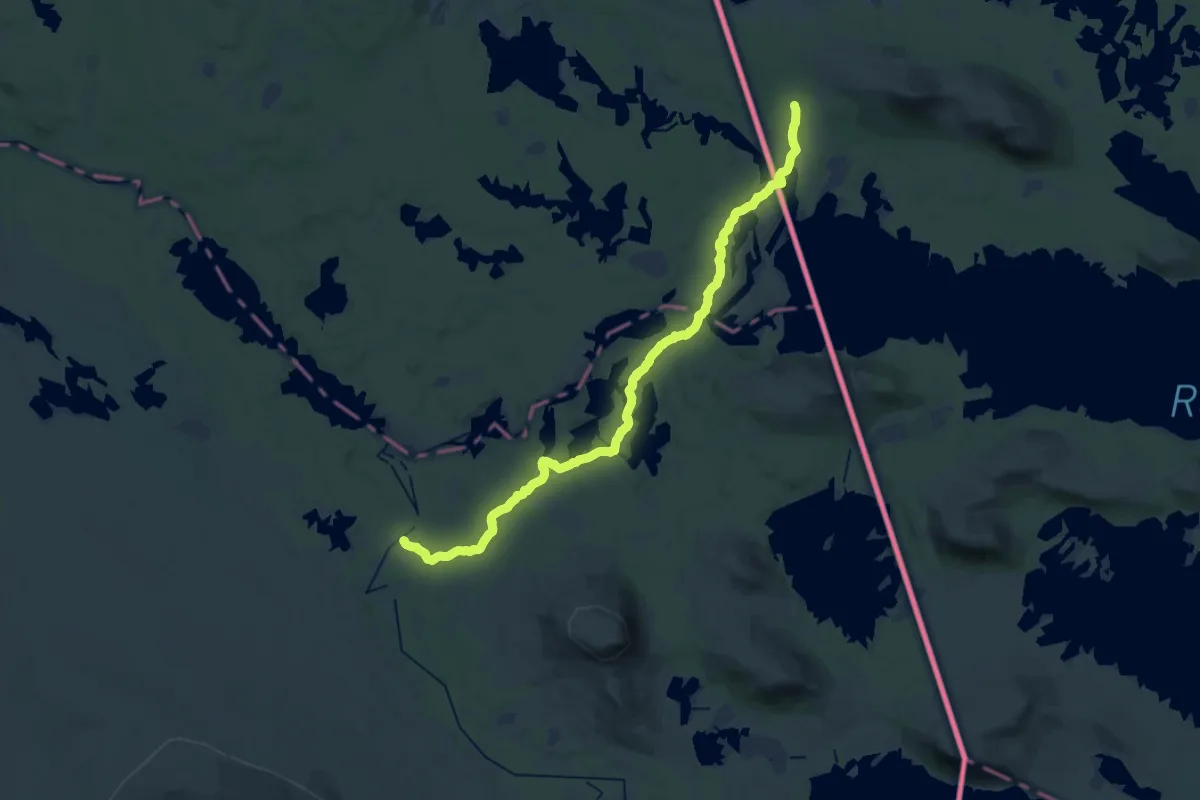
Demanding · Trail
Røvollen – Svukuriset
23.1 km · ↑ 167 m · 5 h 49 min
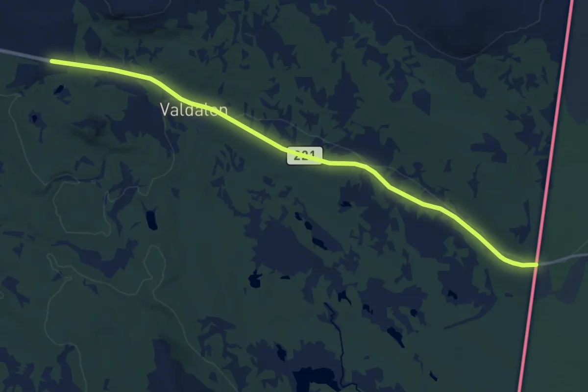
Medium · Trail
Valdalen – Svukuriset
10.8 km · ↑ 49 m · 2 h 39 min
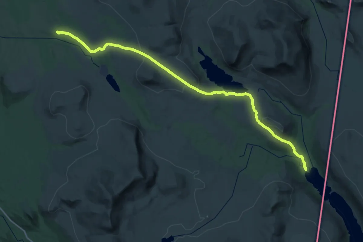
Medium · Cabin
Sylen – Svukuriset
15.7 km · ↑ 333 m · 4 h 38 min
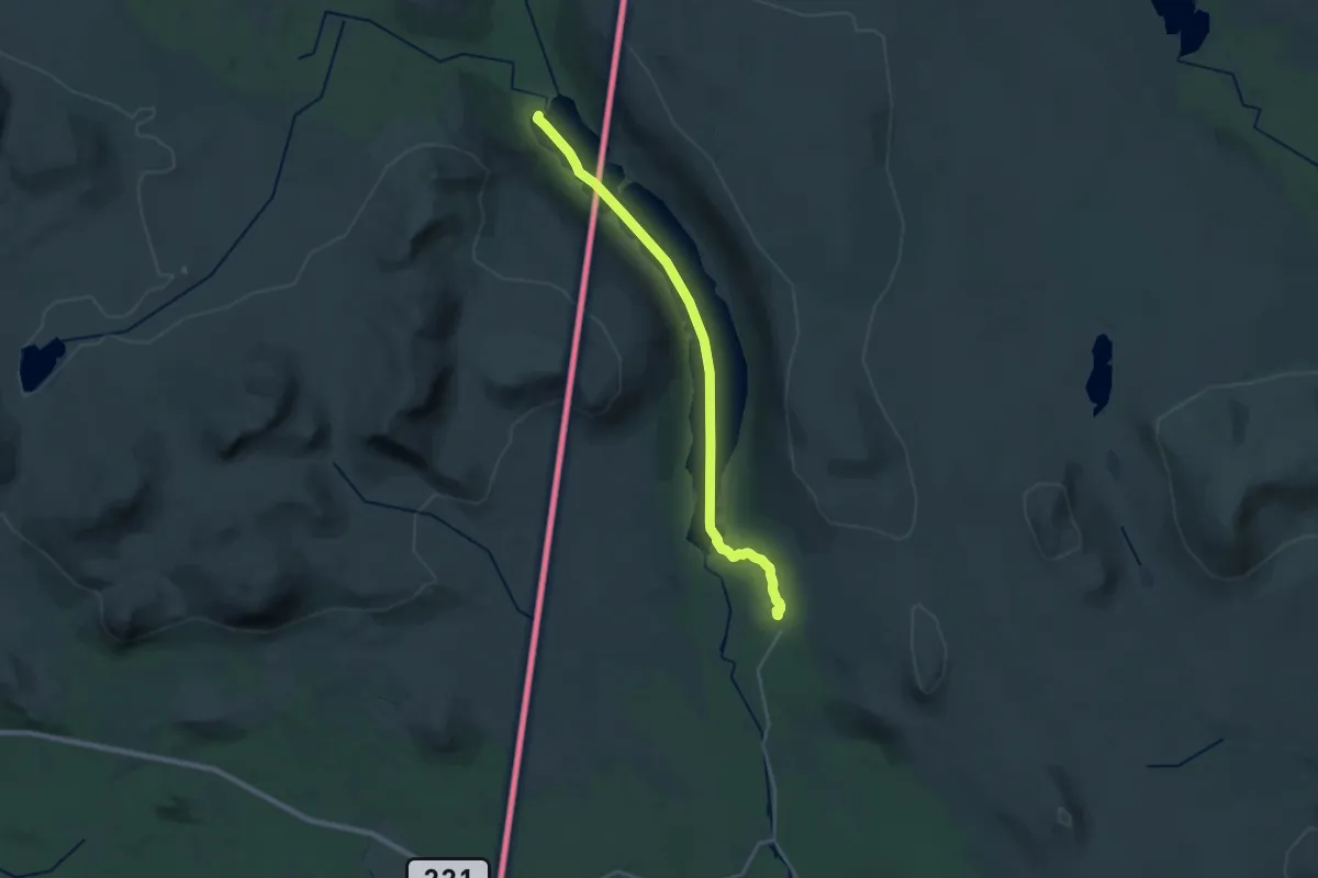
Medium · Cabin
Sylen – Grövelsjön Fjällstation
17.0 km · ↑ 61 m · 4 h 8 min
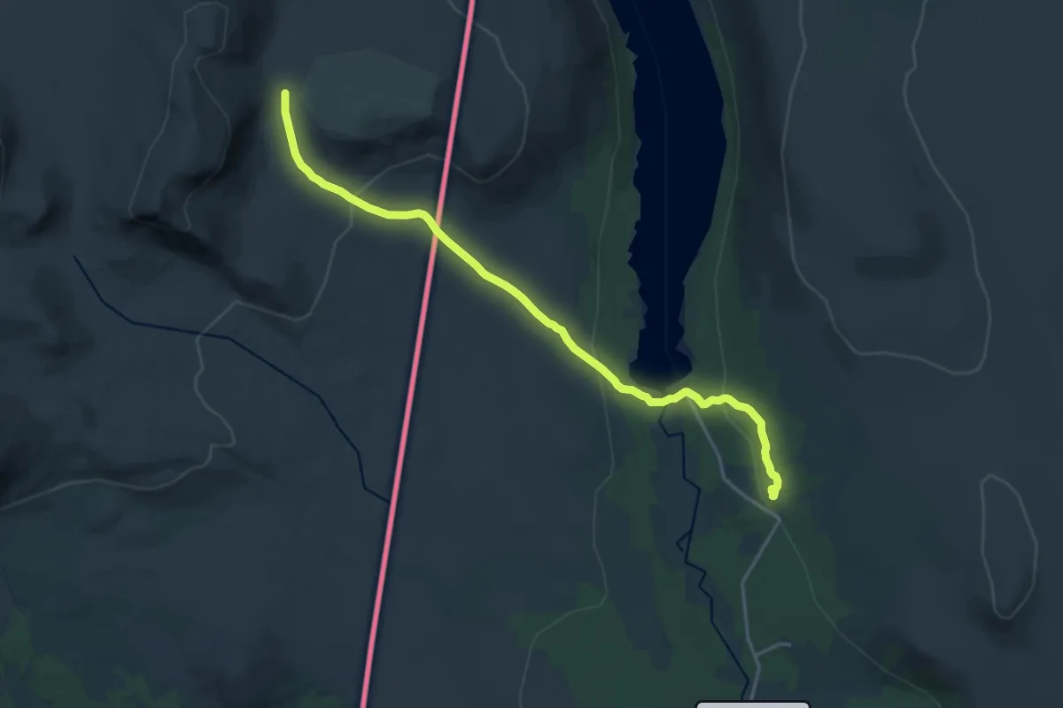
Medium · Cabin
Grøvelsjøen Fjällstation – Svukuriset
12.9 km · ↑ 346 m · 3 h 47 min
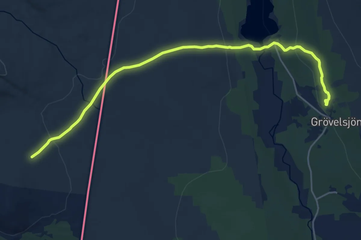
Medium · Cabin
Grøvelsjøen Fjällstation – Valdalen gård
11.8 km · ↑ 277 m · 3 h 23 min
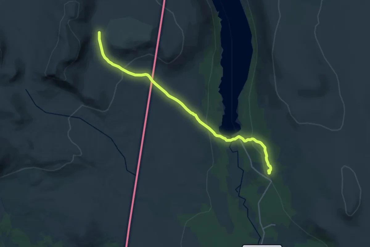
Medium · Cabin
Grøvelsjøen Fjällstation – Sylen
12.9 km · ↑ 346 m · 3 h 47 min
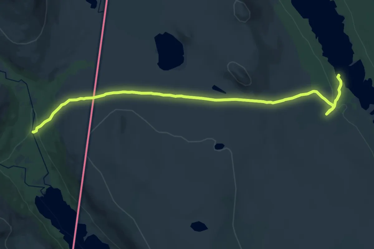
Demanding · Cabin
Grøvelsjøen Fjällstation – Härlingsstugorna
18.7 km · ↑ 391 m · 5 h 15 min
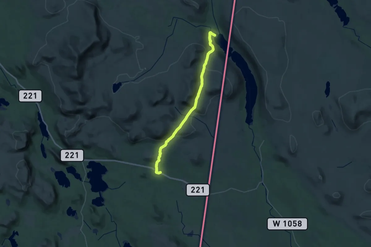
Demanding · Trail
Sylen – Valdalen gård
23.8 km · ↑ 711 m · 7 h 10 min
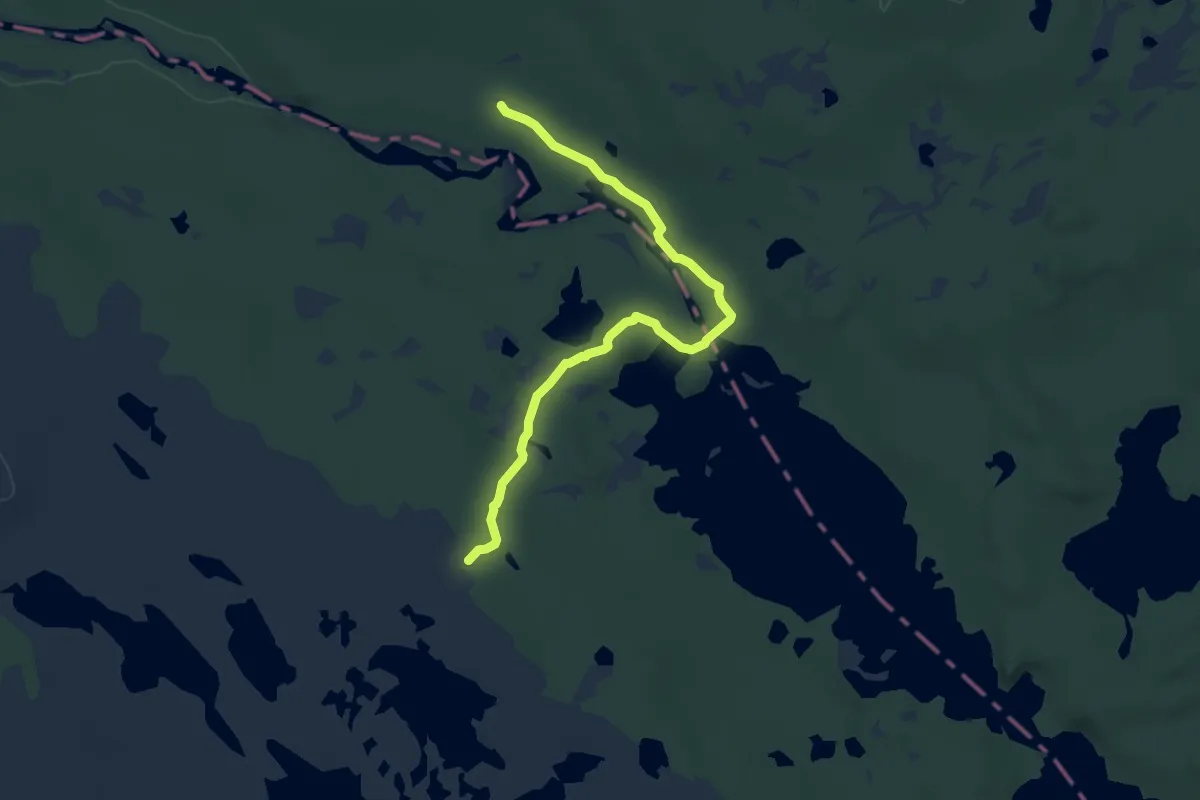
Easy · Cabin
Haugen – Røvollen
7.3 km · ↑ 68 m · 1 h 52 min
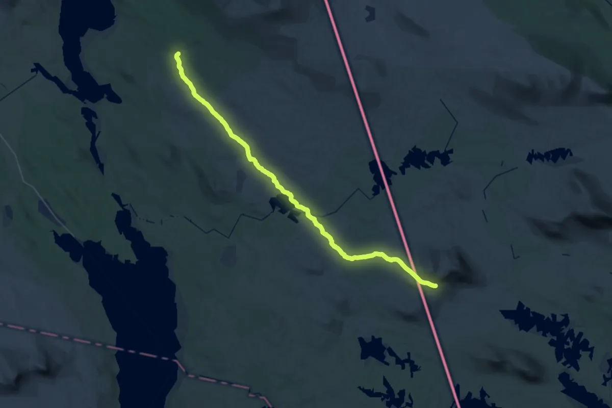
Demanding · Cabin
Ljøsnavollen – Skedbrostugan
19.0 km · ↑ 106 m · 5 h 4 min
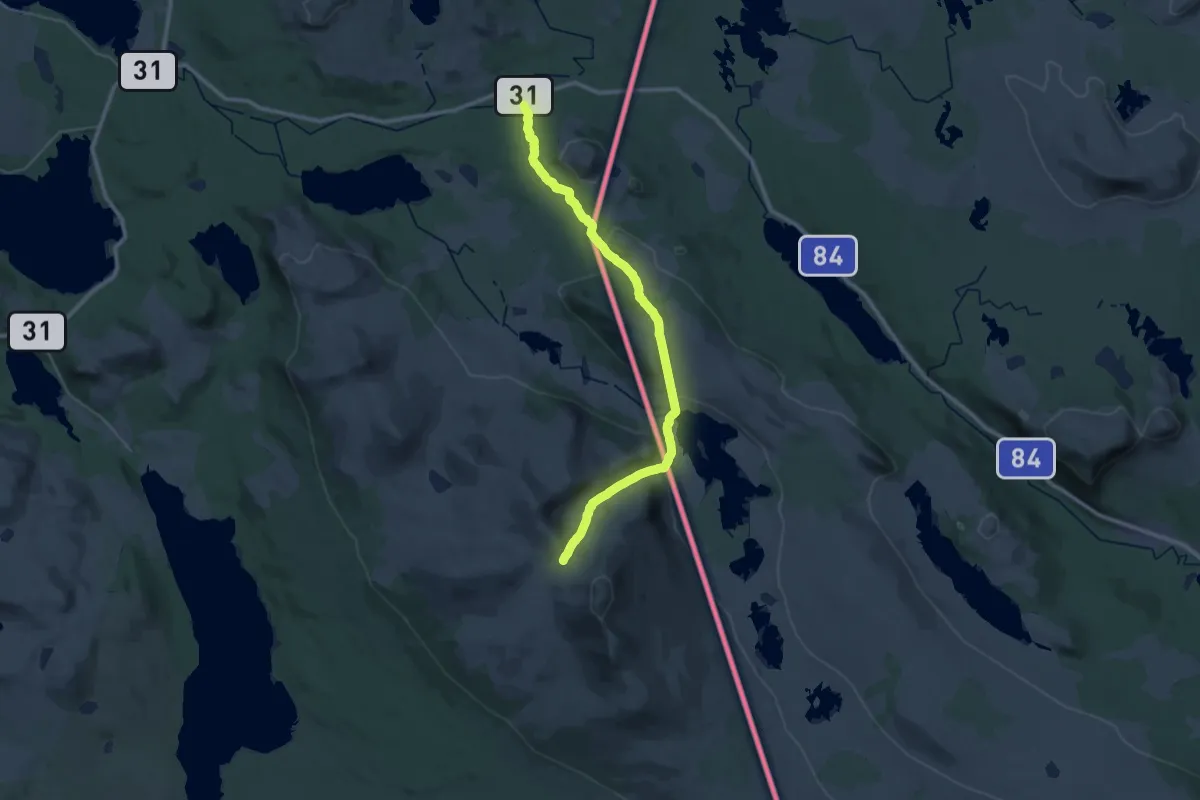
Medium · Trail
Ljøsnavollen – Vauldalen
13.3 km · ↑ 176 m · 3 h 58 min
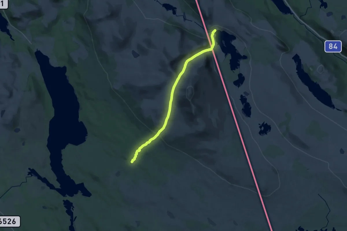
Demanding · Cabin
Ljøsnavollen – Fjällnäs
23.2 km · ↑ 985 m · 7 h 37 min
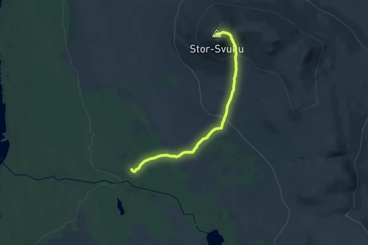
Medium · Summit
Svukuriset – Stor-Svuku
11.8 km · ↑ 585 m · 4 h 3 min
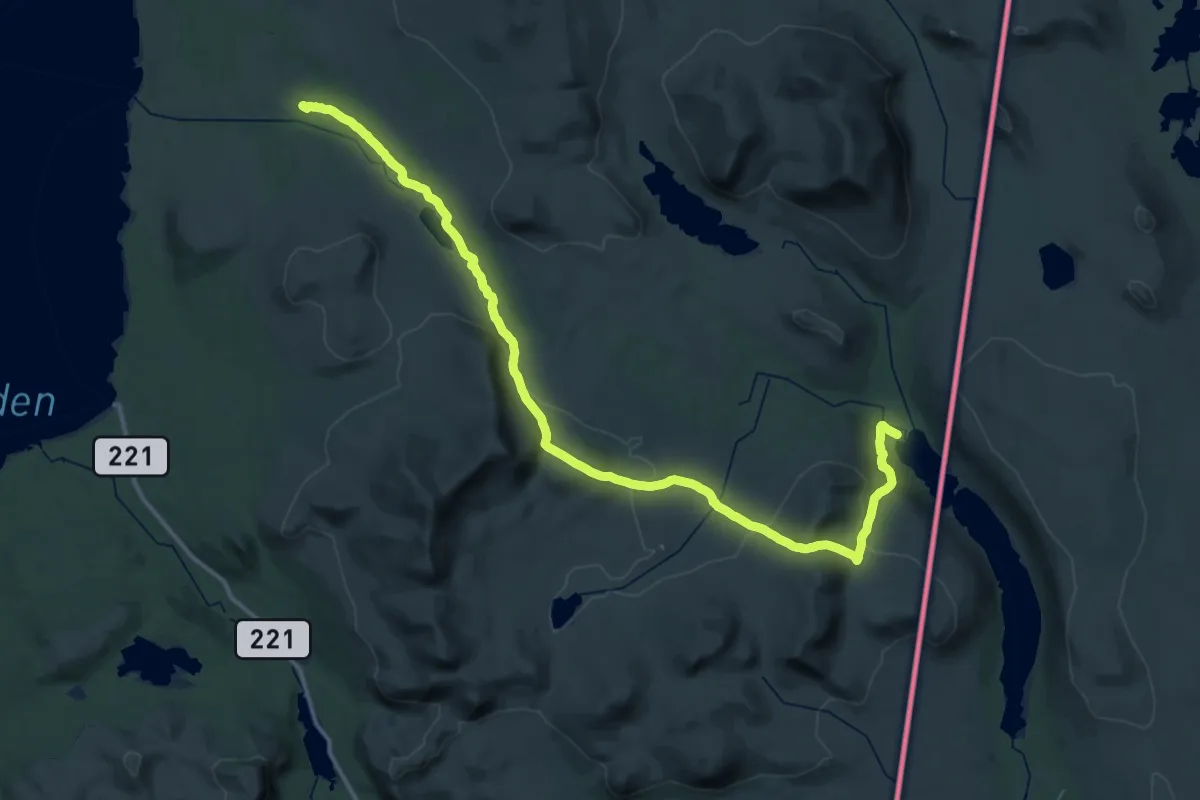
Demanding · Cabin
Sylen – Svukuriset
20.0 km · ↑ 556 m · 6 h 11 min
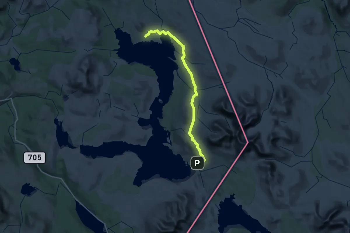
Demanding · Cabin
Storerikvollen – Nodalshytta
21.9 km · ↑ 377 m · 6 h 17 min
Demanding · Summit
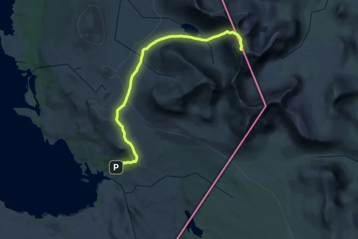
Storsylen – Nedalshytta
21.0 km · ↑ 1115 m · 7 h 23 min
Medium · Trail
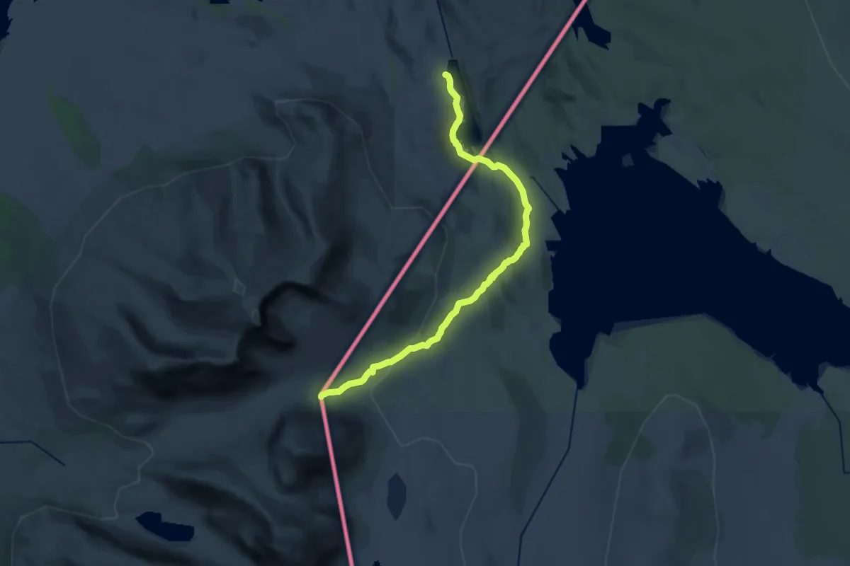
Nedalshytta – Væktstua / Stugudalen
16.6 km · ↑ 331 m · 4 h 38 min
Easy · Trail
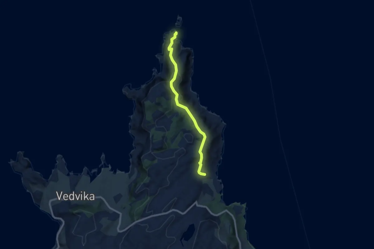
Halsøyra – Skongenes fyr
4.5 km · ↑ 277 m · 1 h 40 min
Medium · Trail
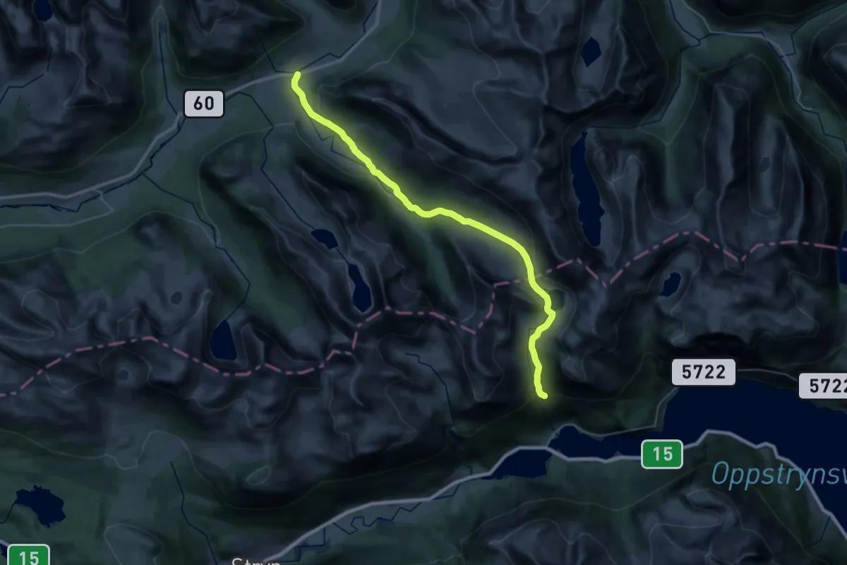
Stryn – Hellesylt
13.5 km · ↑ 629 m · 4 h 41 min
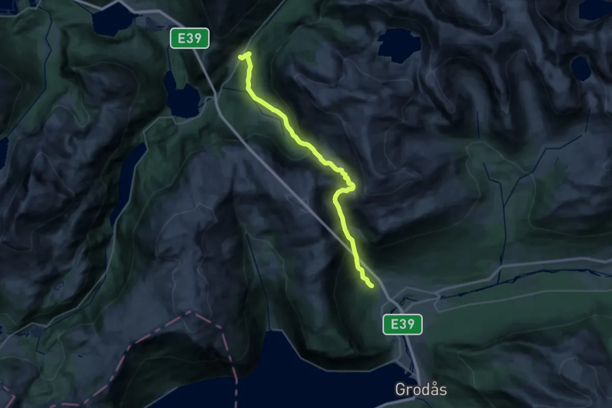
Demanding · Trail
Grodås – Førde
17.6 km · ↑ 1441 m · 7 h 17 min
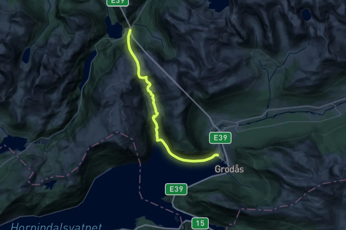
Medium · Trail
Grodås – Førde
11.5 km · ↑ 783 m · 4 h 33 min
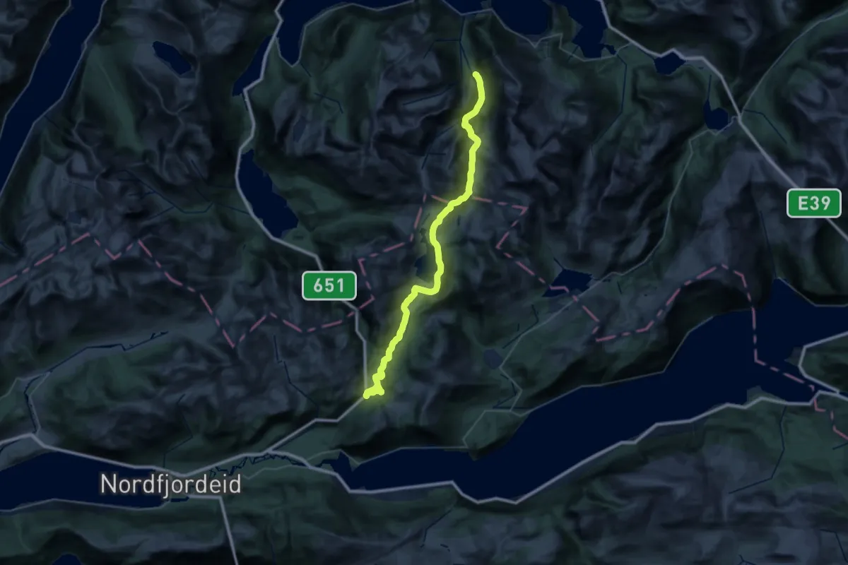
Medium · Trail
Fyrde – Nordfjoreid
17.2 km · ↑ 613 m · 5 h 37 min
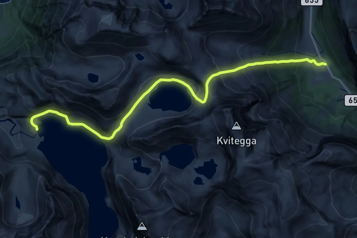
Demanding · Cabin
Fivelstadhaugen – Tyssenaustet
19.1 km · ↑ 1467 m · 7 h 41 min
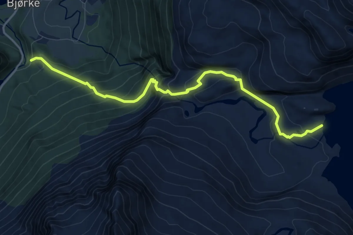
Medium · Cabin
Bjørke – Tyssenaustet
7.3 km · ↑ 622 m · 3 h 4 min
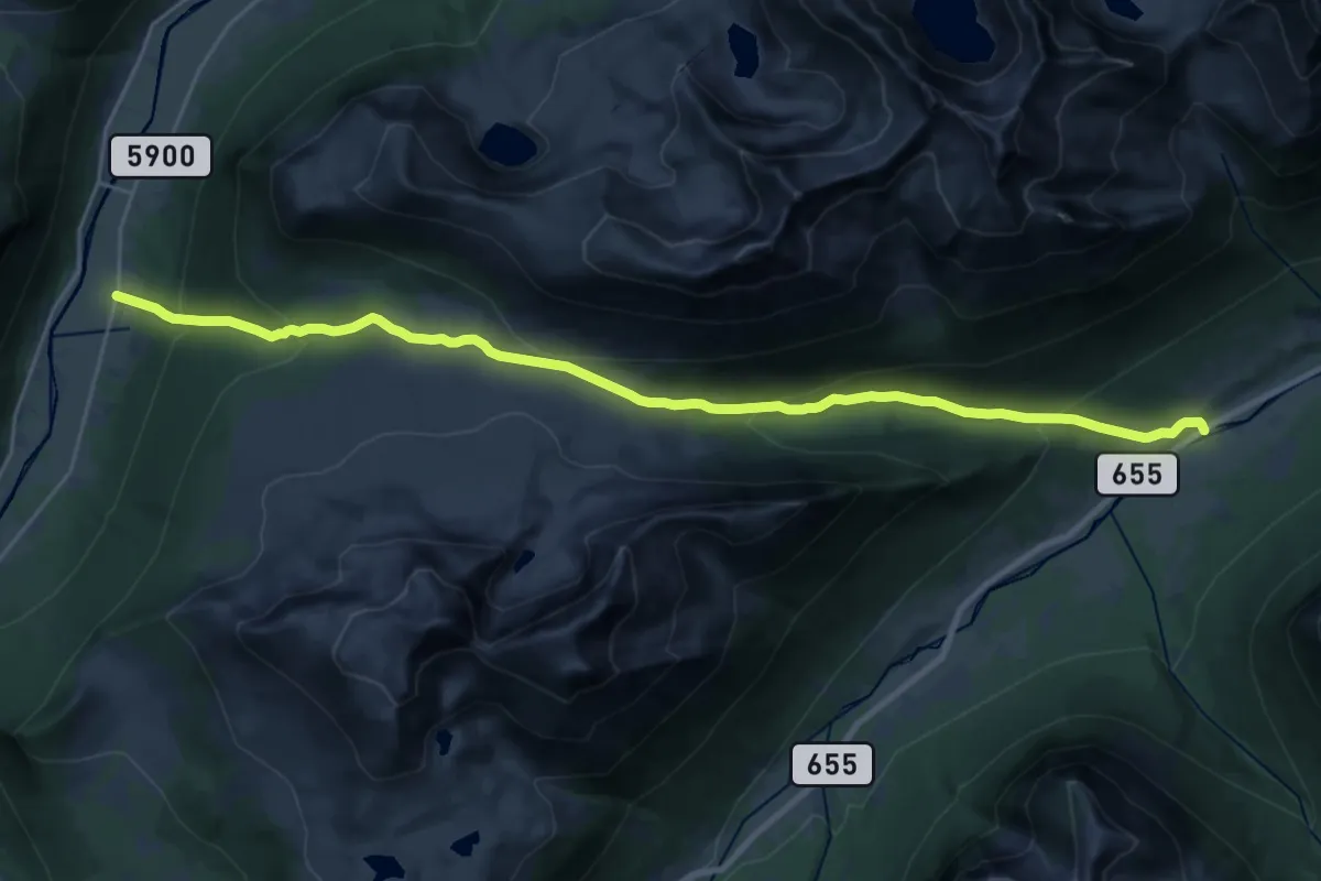
Demanding · Trail
Sæbø – Standal
18.4 km · ↑ 1014 m · 6 h 32 min
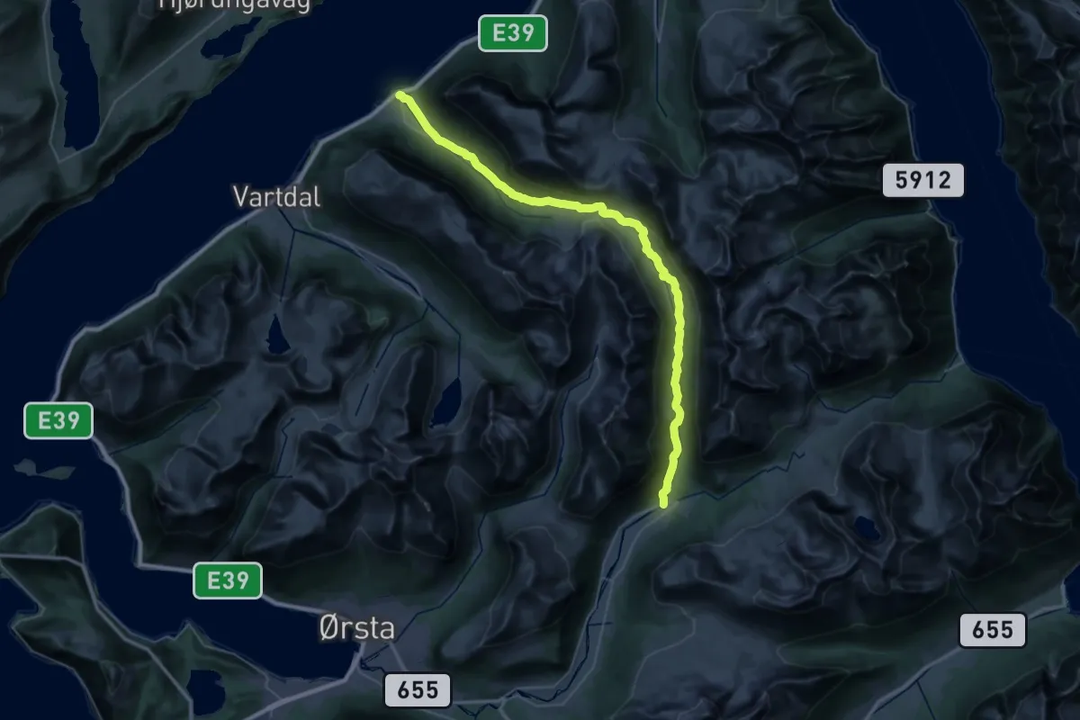
Medium · Trail
Kolåsen – Vartdal
15.7 km · ↑ 384 m · 4 h 48 min
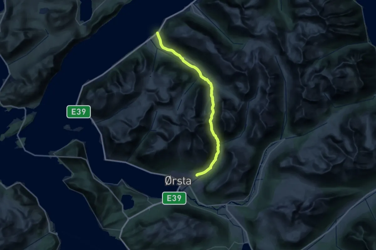
Medium · Trail
Ørstad – Vartdal
14.4 km · ↑ 560 m · 4 h 50 min
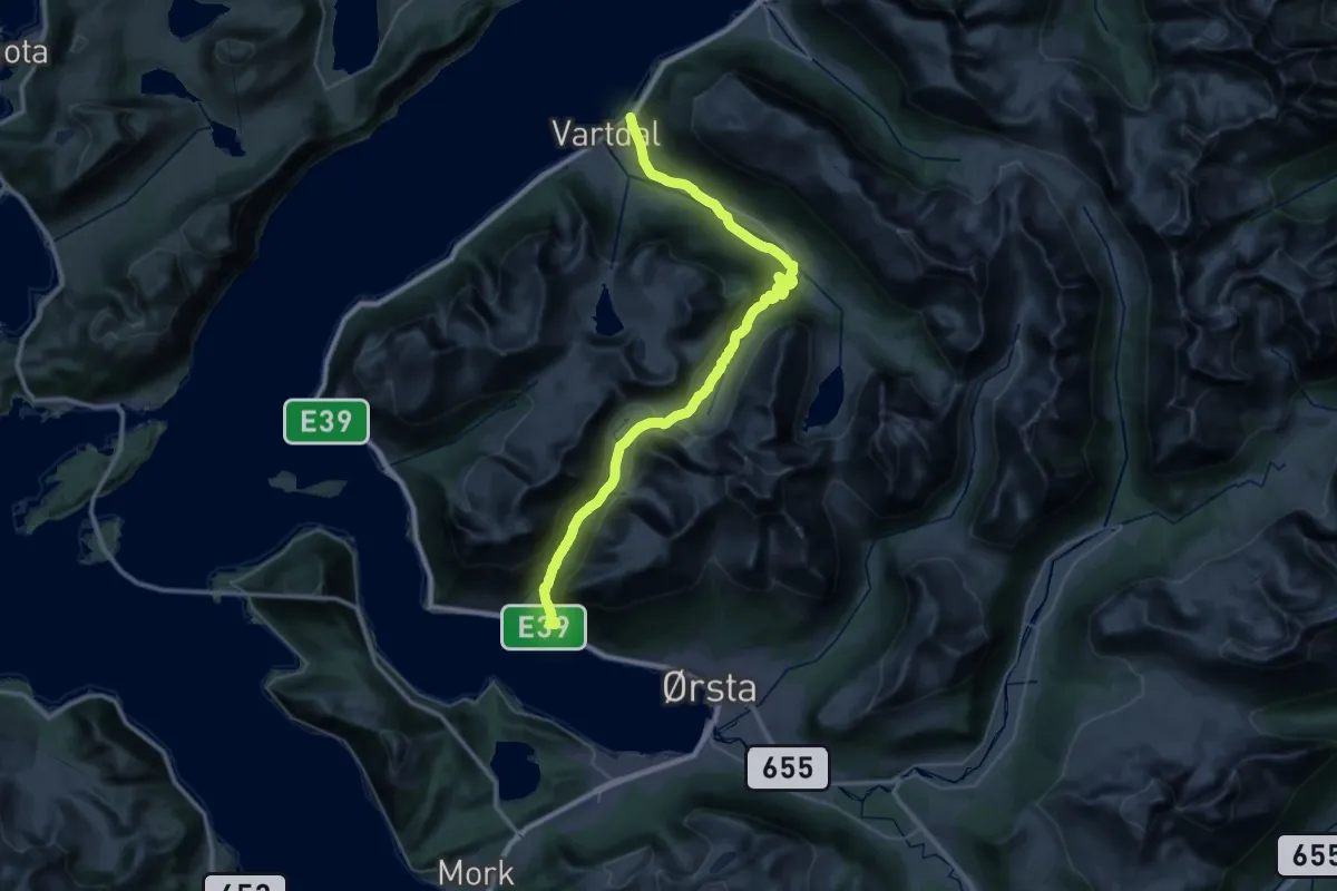
Medium · Trail
Ørstad – Vartdal
15.3 km · ↑ 466 m · 4 h 50 min
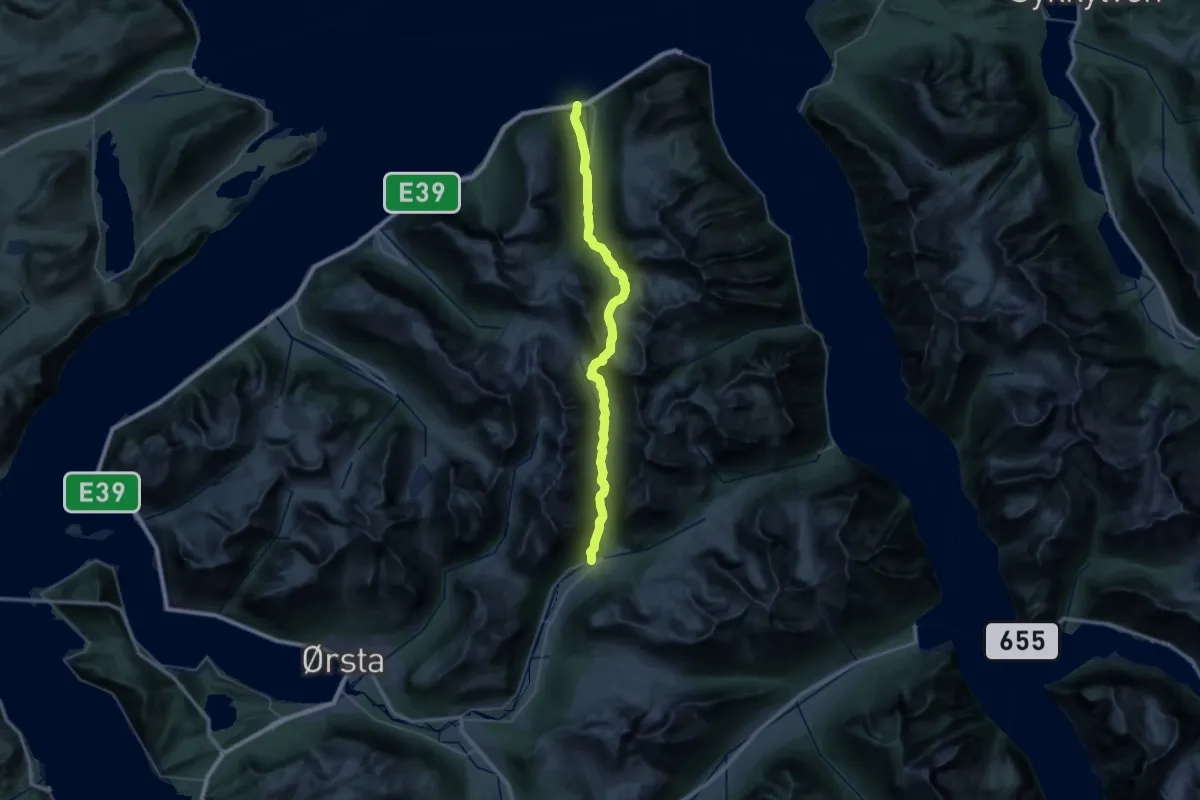
Medium · Trail
Kolåsen – Barstadvik
16.3 km · ↑ 619 m · 5 h 28 min
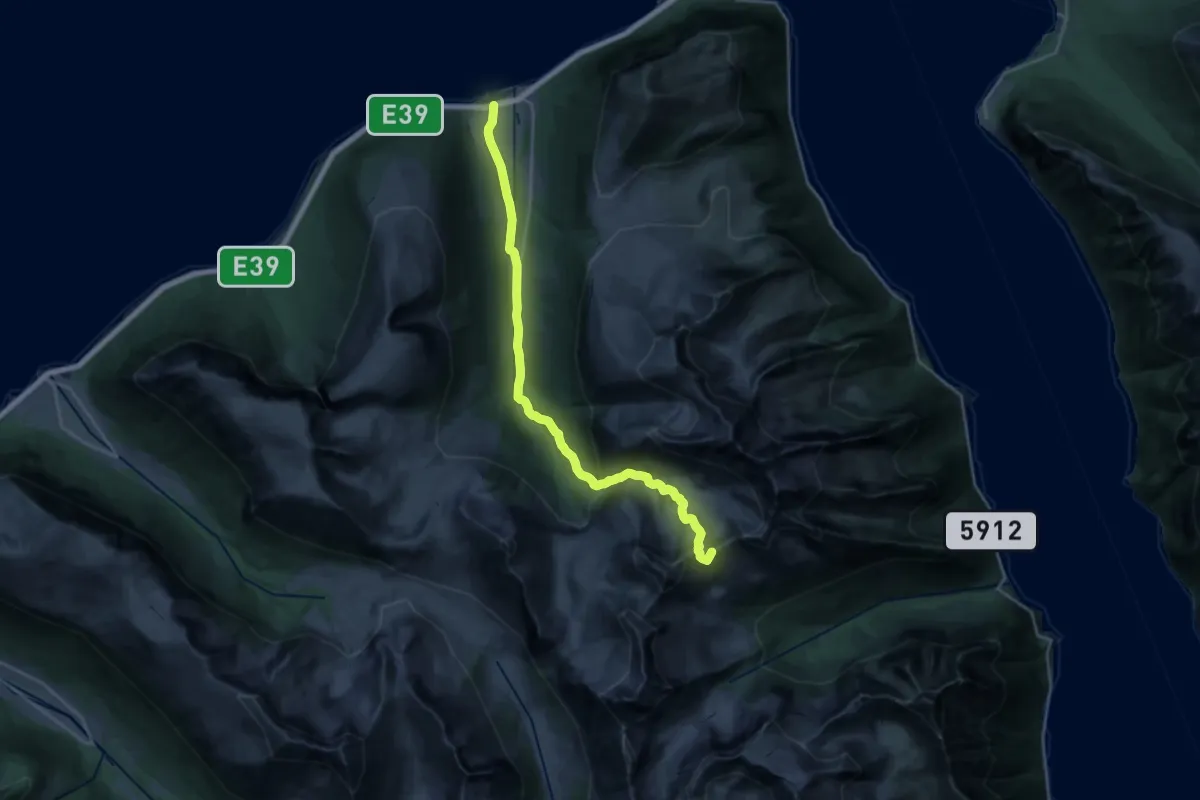
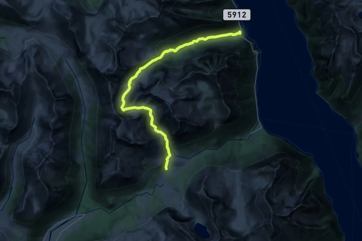
Demanding · Summit
Ytre-Standal – Barstadvik
17.7 km · ↑ 1160 m · 6 h 42 min
Demanding · Cabin
Ytre-Standal – Standalhytta
11.0 km · ↑ 1008 m · 4 h 45 min
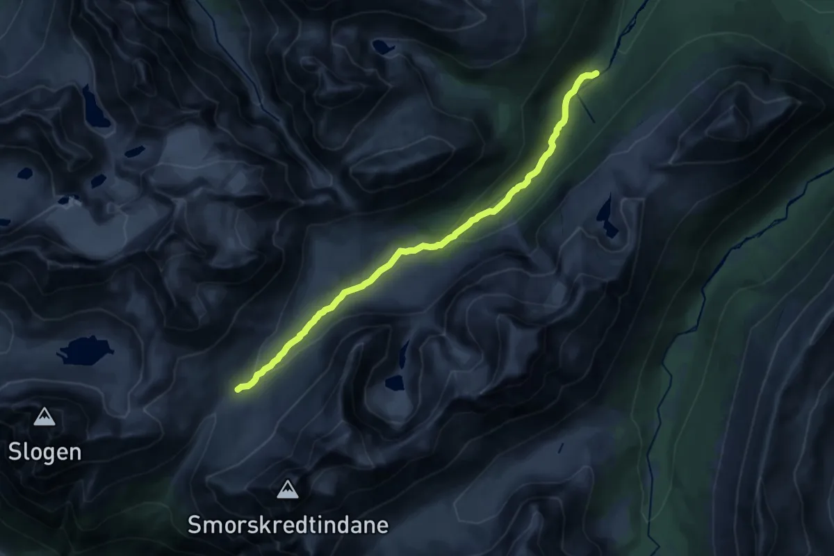
Medium · Cabin
Liasætra – Patchellhytta
13.0 km · ↑ 402 m · 3 h 56 min
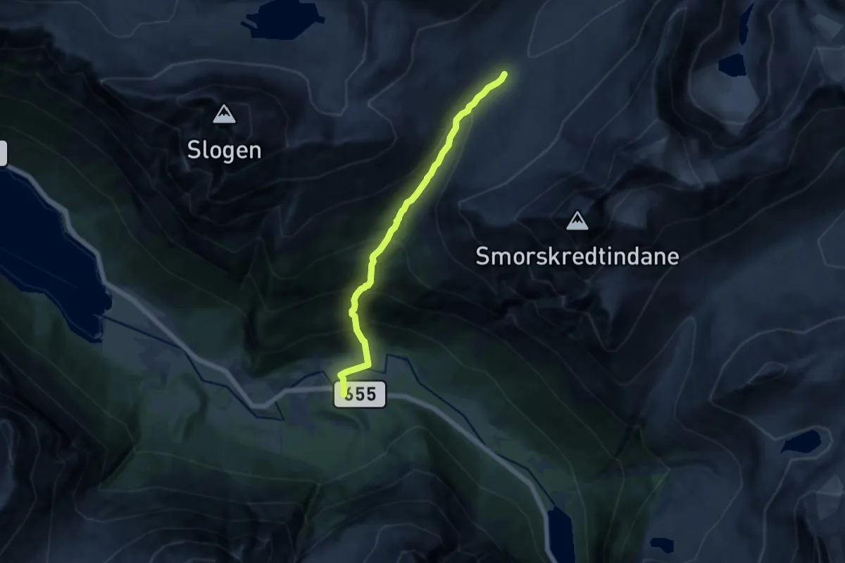
Medium · Cabin
Skylstad – Patchellhytta
7.0 km · ↑ 748 m · 3 h 17 min
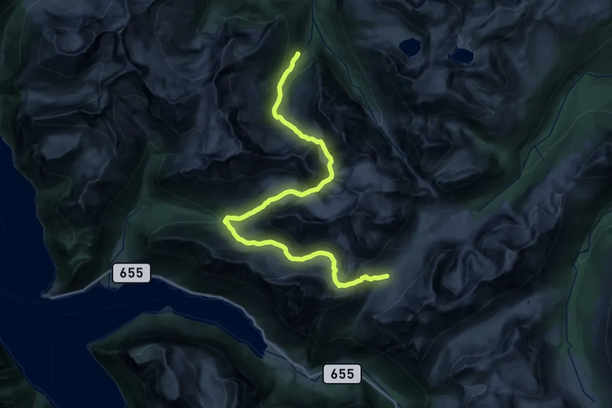
Demanding · Cabin
Velleseterhytta – Patchellhytta
14.4 km · ↑ 771 m · 5 h 30 min
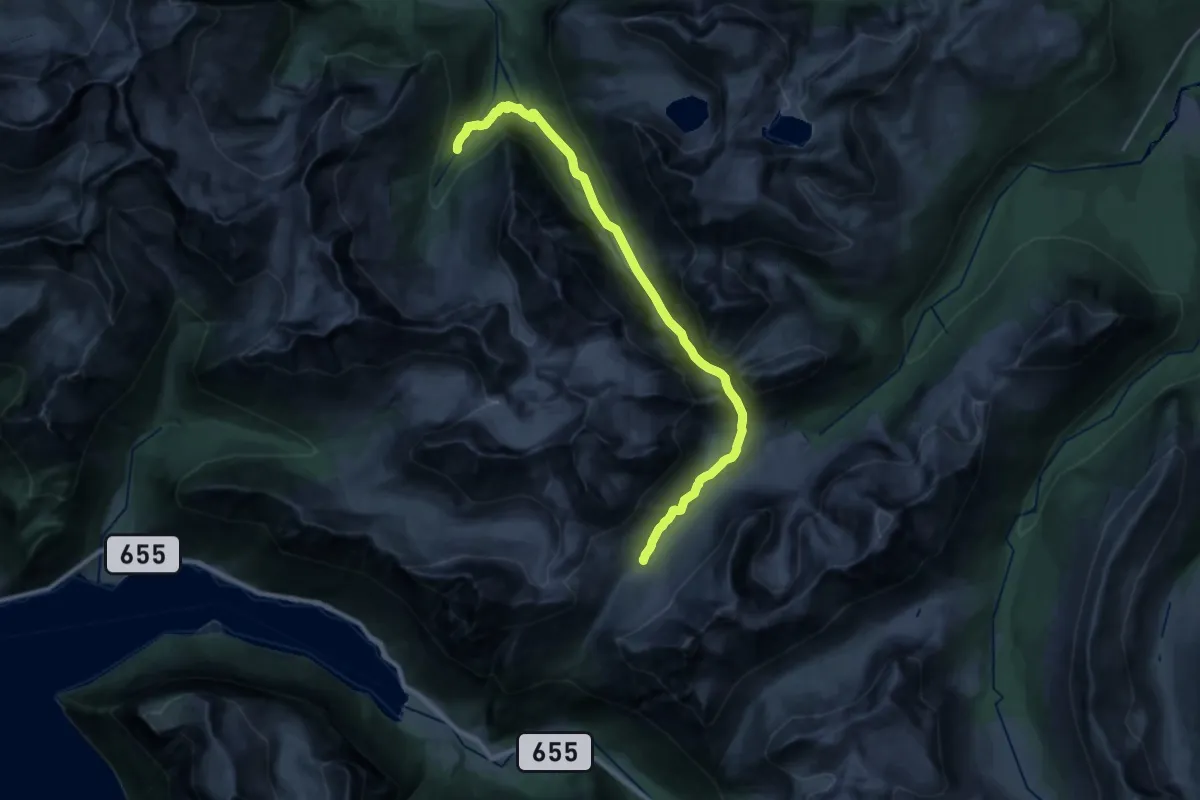
Demanding · Cabin
Velleseterhytta – Patchellhytta
19.9 km · ↑ 1009 m · 6 h 53 min