Trails in Norway
7,453 hiking trails, each with its route, climb, walking time and grade.
All trails, page 154 of 156
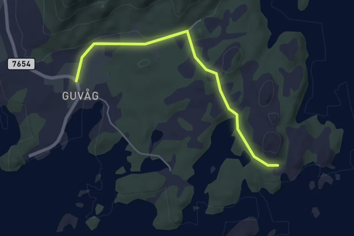
Easy · Cabin
Guvåg – Guvåghytta
2.1 km · ↑ 21 m · 33 min
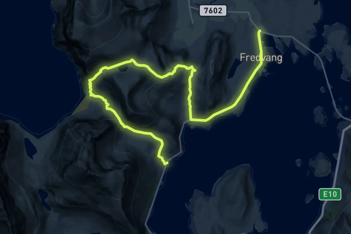
Demanding · Trail
Fredvang – Kvalvika
14.9 km · ↑ 909 m · 5 h 30 min
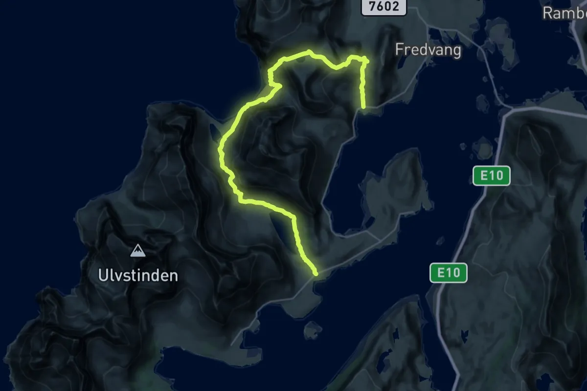
Expert · Trail
Fredvang – Selfjorden
16.9 km · ↑ 842 m · 5 h 50 min
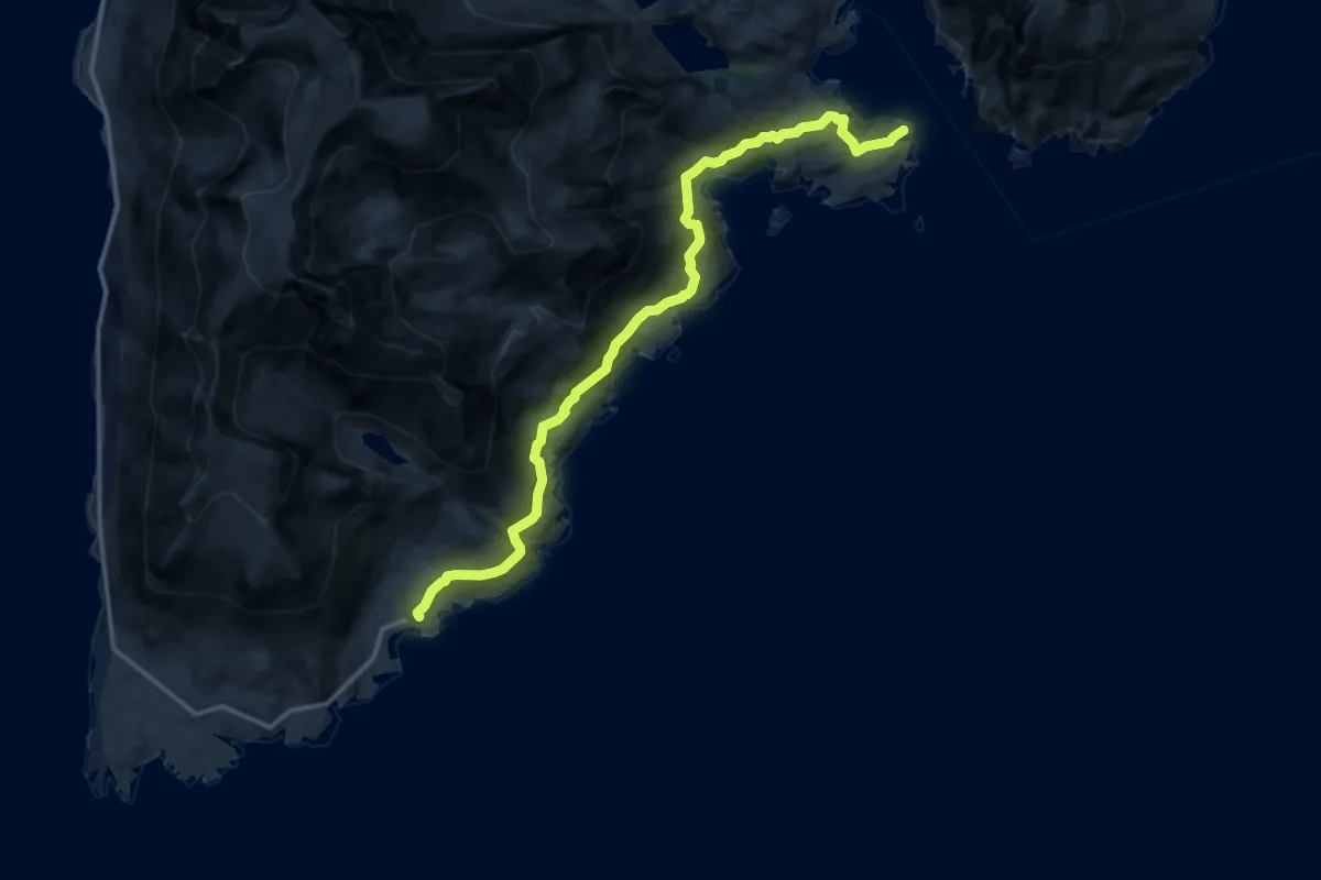
Expert · Trail
Nesland – Nusfjord
8.9 km · ↑ 379 m · 2 h 55 min
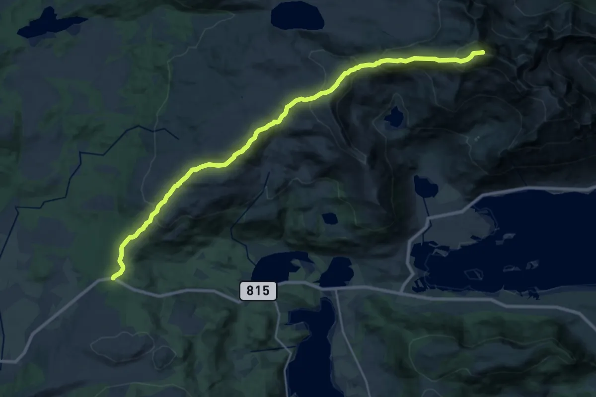
Medium · Summit
Hagskaret – Justadtinden
11.7 km · ↑ 749 m · 4 h 24 min
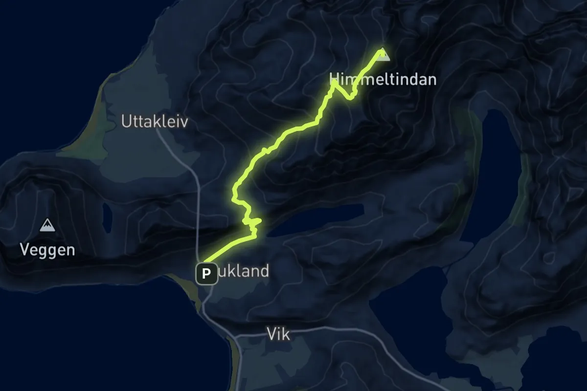
Demanding · Summit
Haukland – Himmeltindan
7.6 km · ↑ 915 m · 3 h 47 min
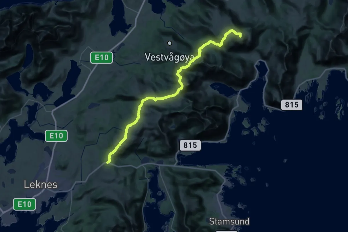
Demanding · Summit
Valberg – Hagskaret
25.3 km · ↑ 1178 m · 8 h 31 min
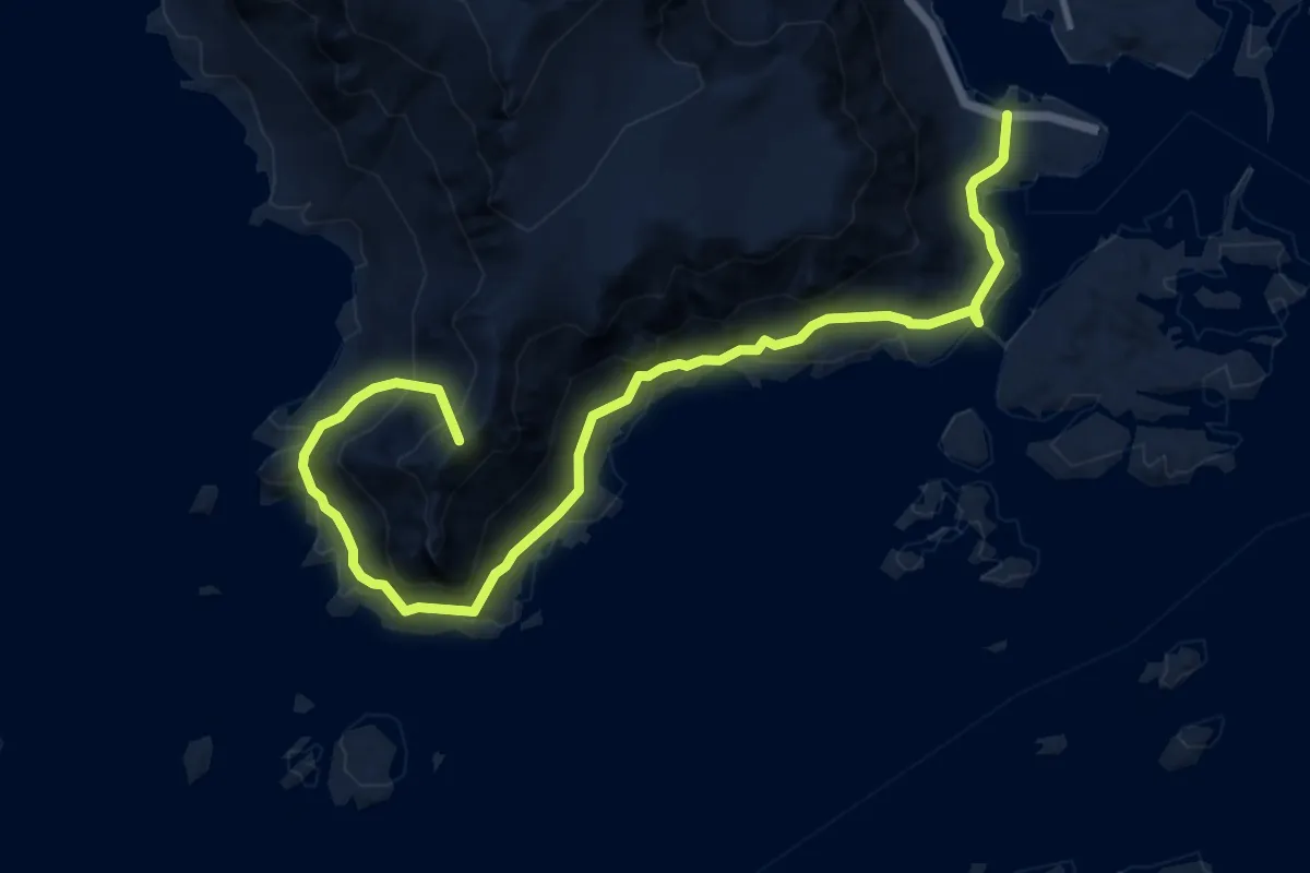
Medium · Summit
Ballstad – Grenvika
5.4 km · ↑ 412 m · 2 h 14 min
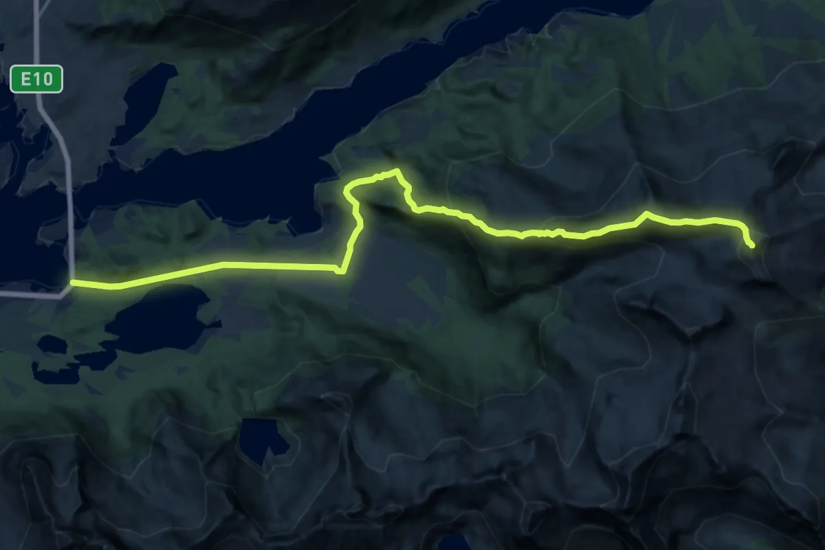
Demanding · Summit
Lyngværet – Kabelvåg
12.1 km · ↑ 776 m · 4 h 33 min
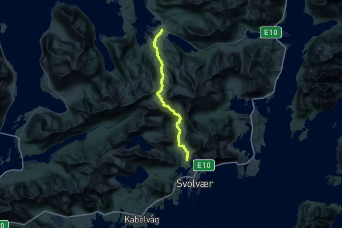
Expert · Trail
Sandsletta/Haugen – Svolvær
22.3 km · ↑ 1234 m · 7 h 57 min
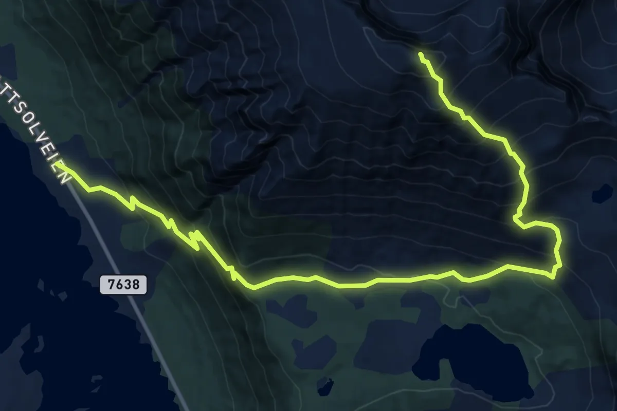
Medium · Summit
Delp – Jorden
7.1 km · ↑ 773 m · 3 h 20 min
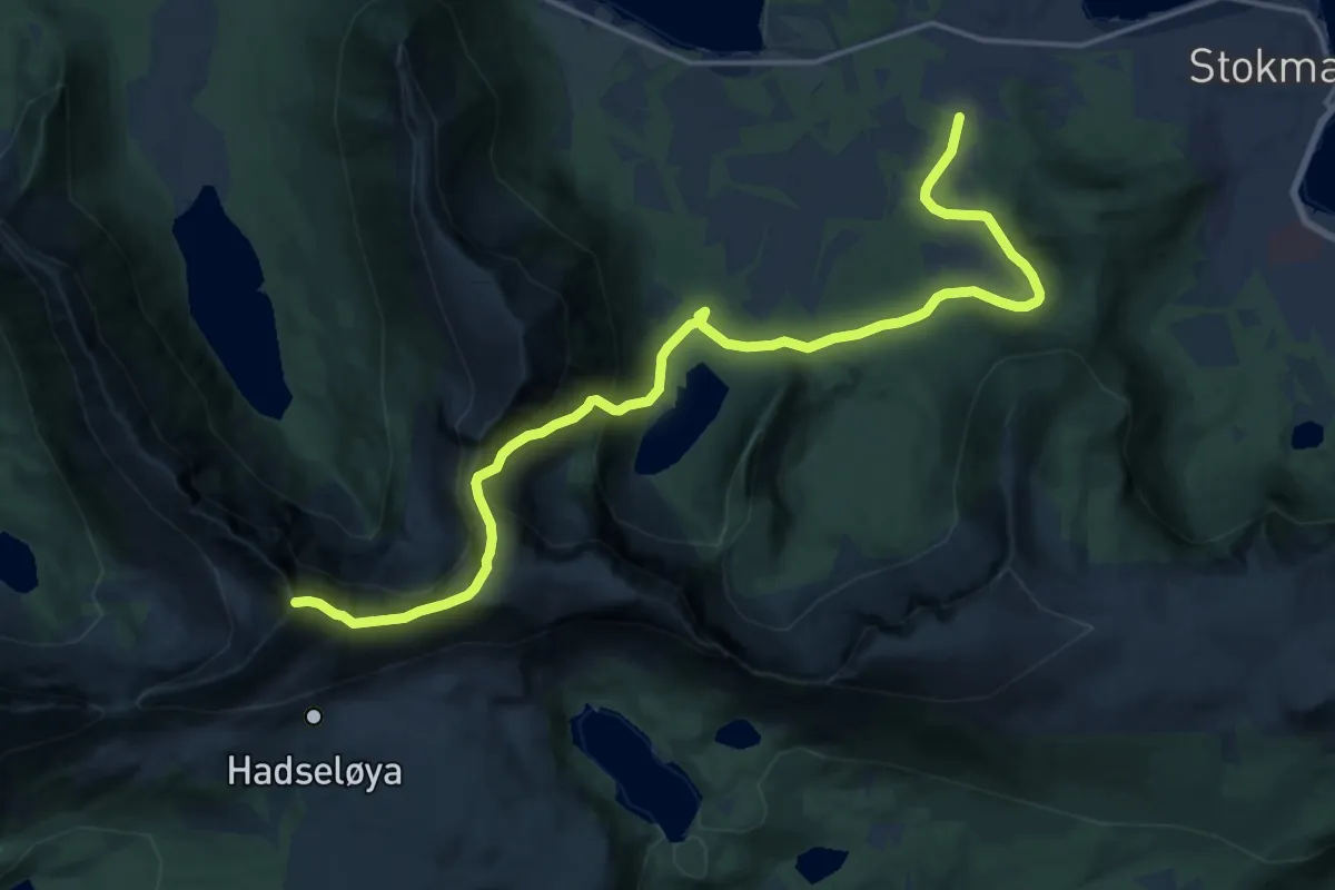
Demanding · Summit
Stokmarknes – Sæterfjellet
11.2 km · ↑ 690 m · 4 h 8 min
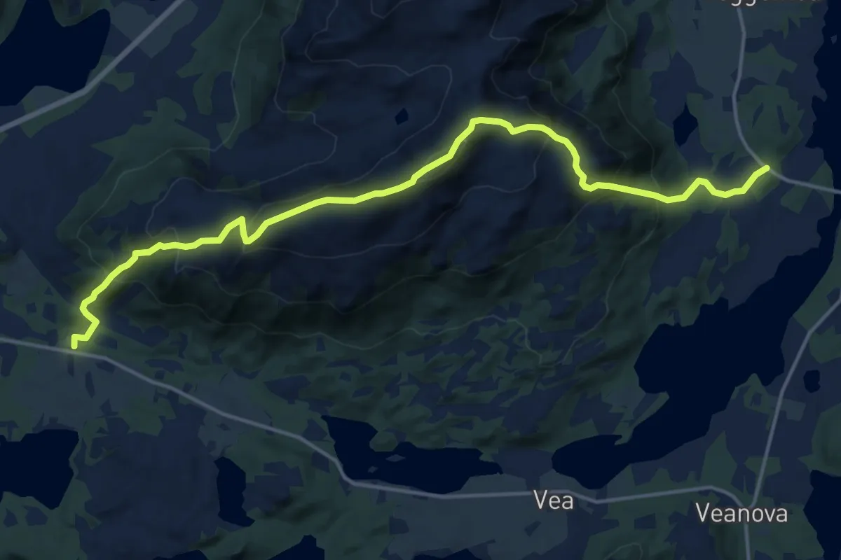
Medium · Trail
Straume – eggfjellet
9.4 km · ↑ 770 m · 3 h 53 min
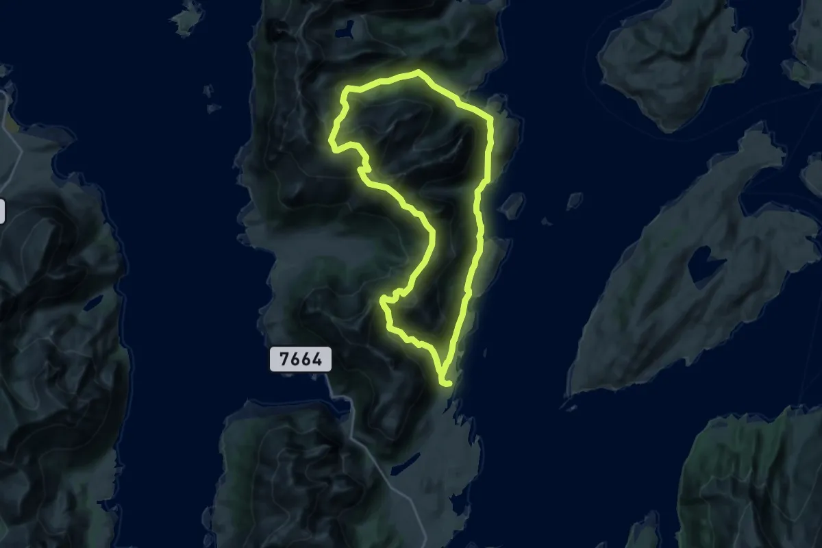
Demanding · Trail
Sletten – Melkardalen
10.8 km · ↑ 995 m · 4 h 51 min
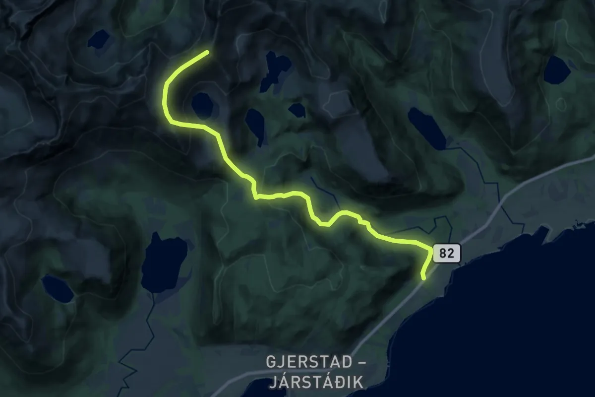
Medium · Summit
Rise – Skata
11.0 km · ↑ 659 m · 4 h 2 min
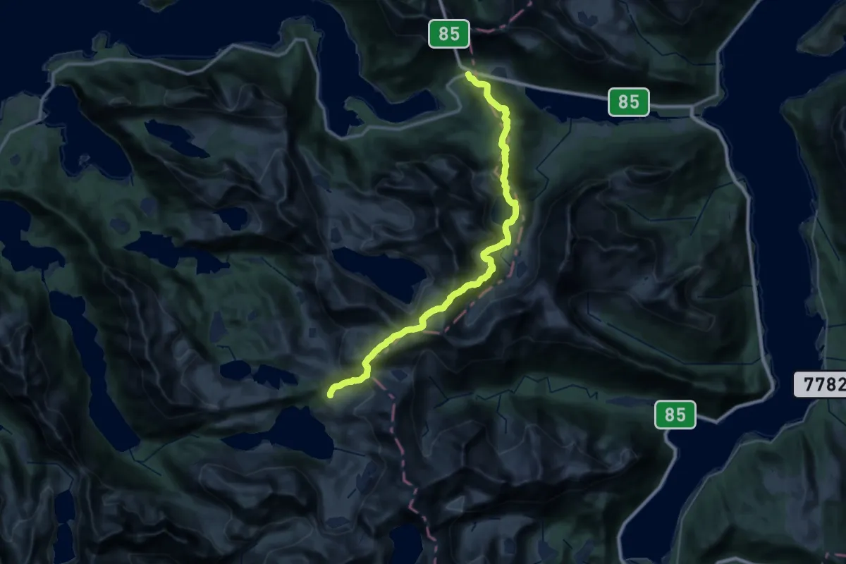
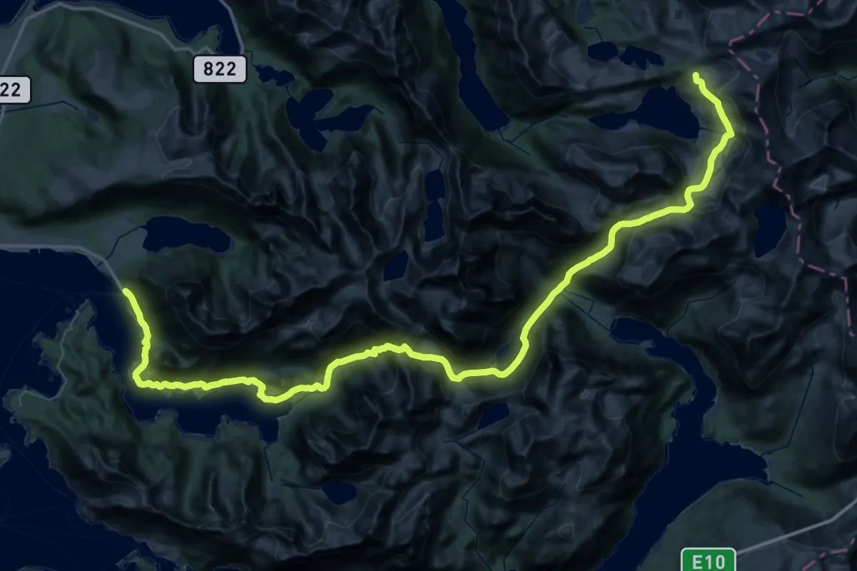
Demanding · Cabin
Sigerfjorden – Snytindhytta
20.4 km · ↑ 1363 m · 7 h 46 min
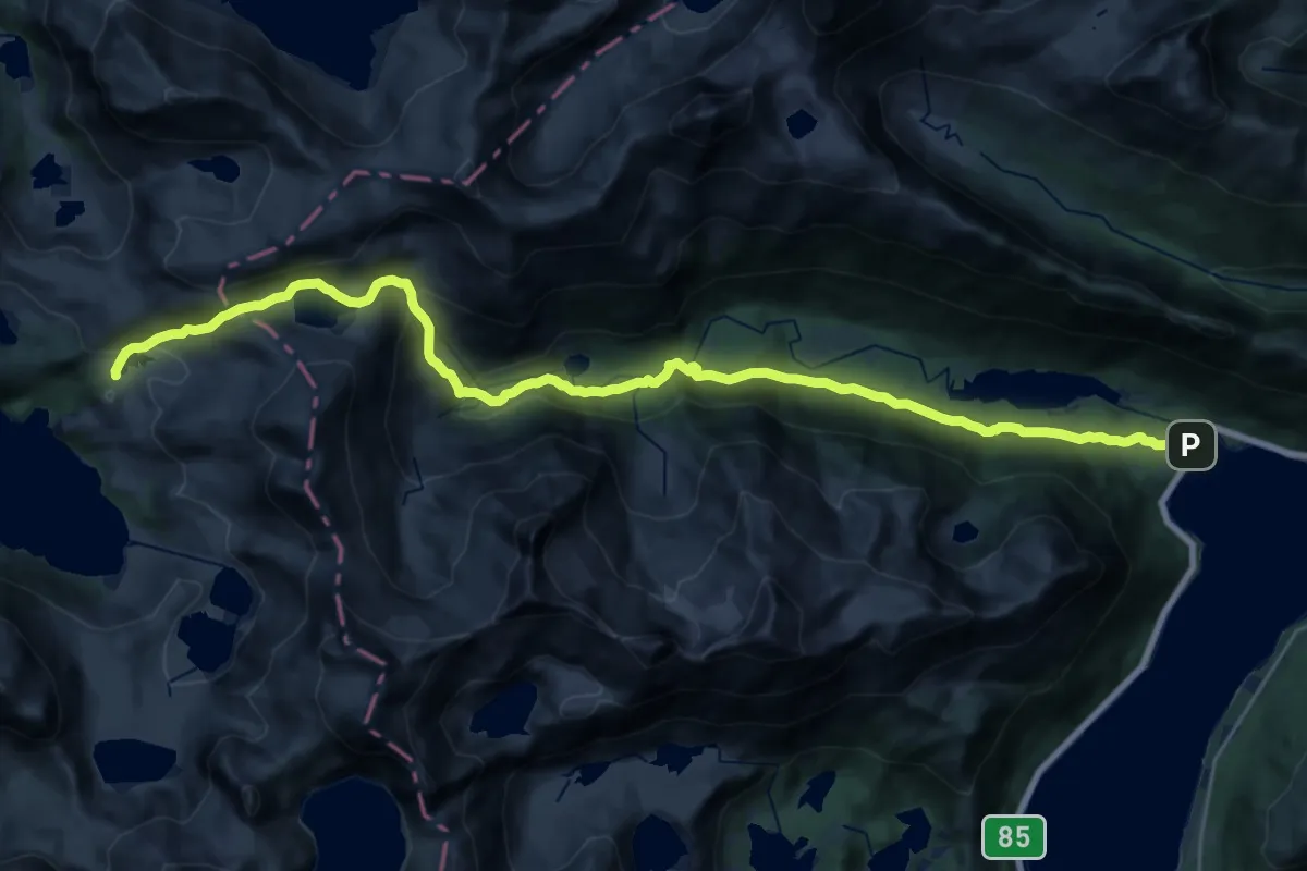
Expert · Cabin
Kaljord – Snytindhytta
20.9 km · ↑ 1194 m · 7 h 38 min
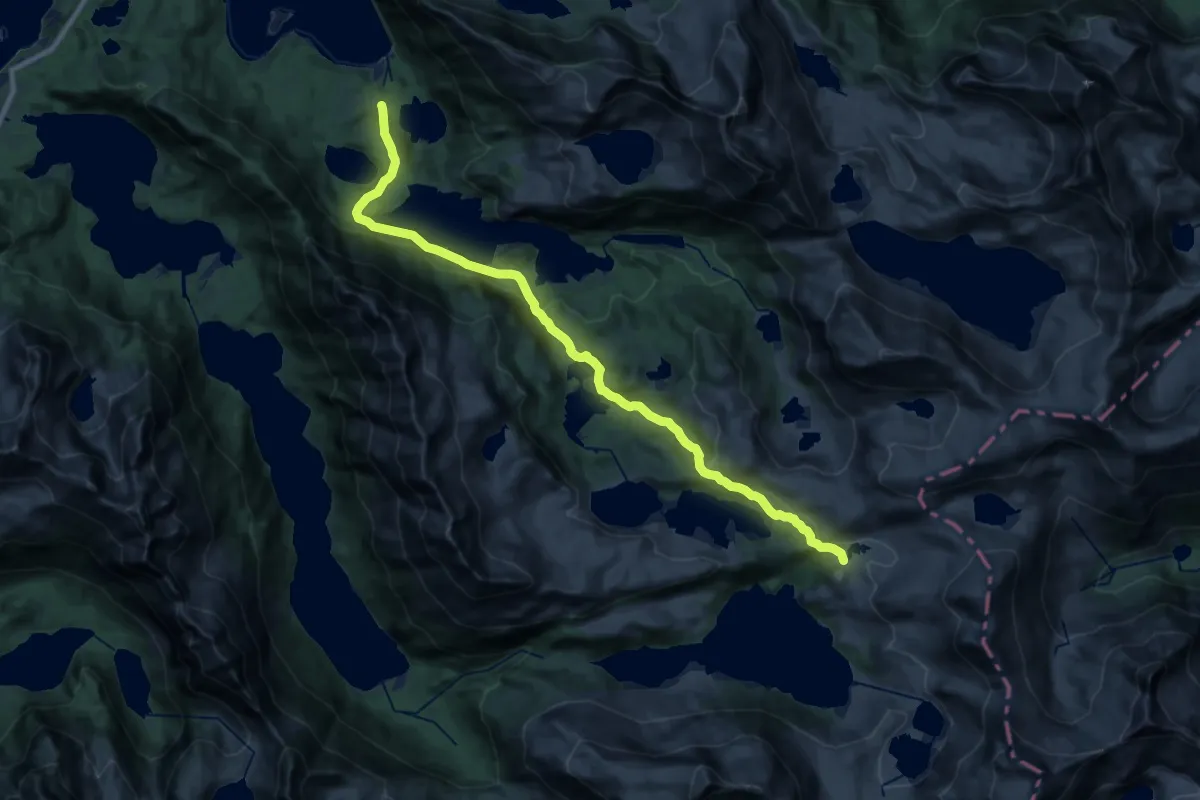
Medium · Cabin
Løbergsbukta – Snytindhytta
16.9 km · ↑ 787 m · 5 h 41 min
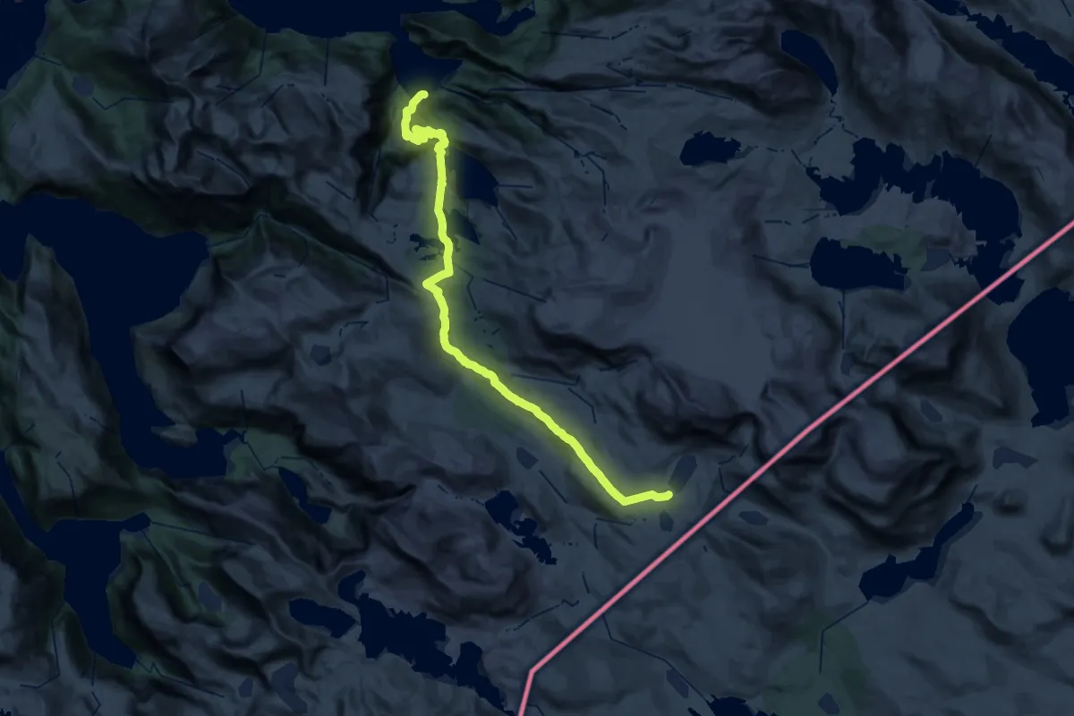
Medium · Cabin
Djupfjorden – Snytindhytta
14.1 km · ↑ 492 m · 4 h 23 min
Demanding · Cabin
Slabavoda – Roisvatn
19.8 km · ↑ 1029 m · 6 h 47 min
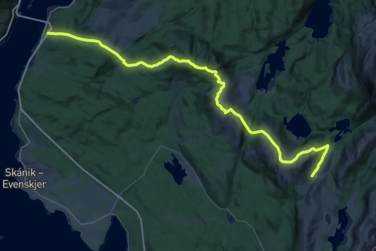
Medium · Trail
Tjeldsundbrua – Geitvatn
13.3 km · ↑ 682 m · 4 h 40 min
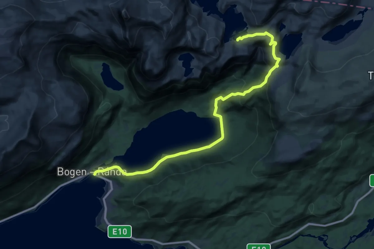
Demanding · Cabin
Bogen – Niingshytta
15.9 km · ↑ 816 m · 5 h 31 min
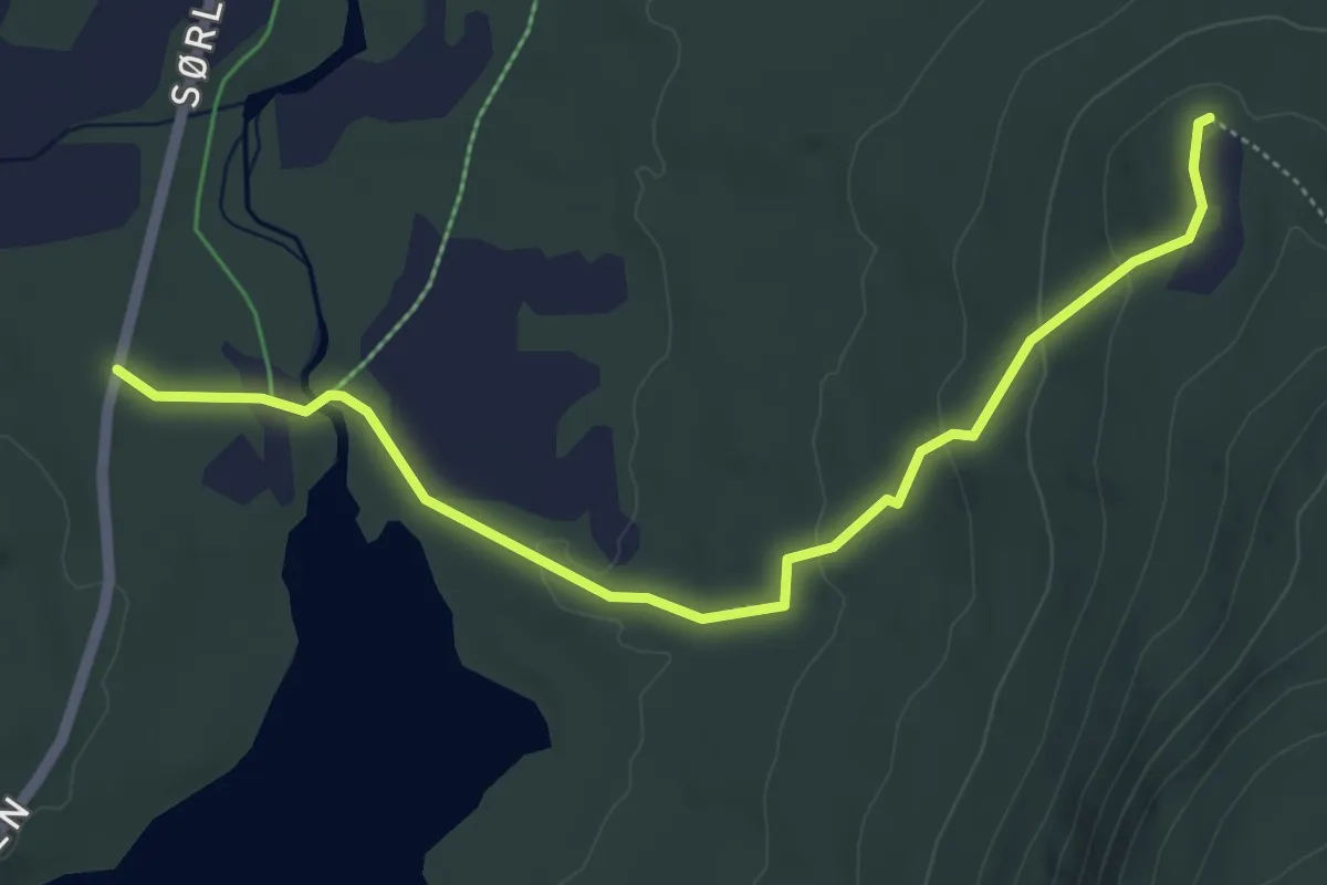
Easy · Cabin
Steinsåsvatnet – Grønnkollen
3.0 km · ↑ 95 m · 55 min
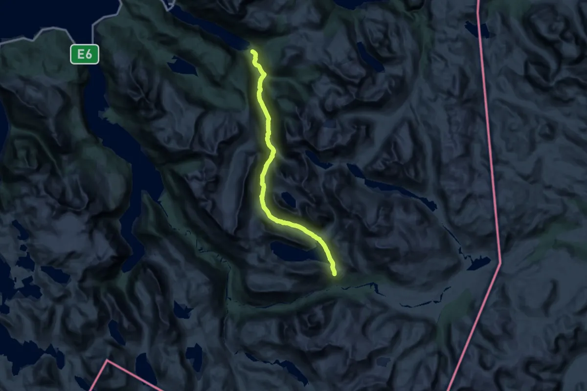
Demanding · Cabin
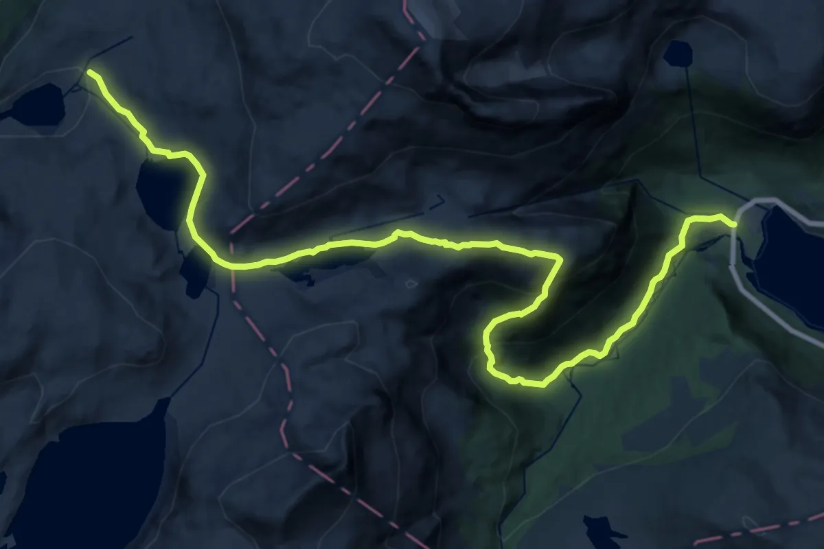
Lossihytta – Beisfjord
25.7 km · ↑ 870 m · 7 h 58 min
Medium · Cabin
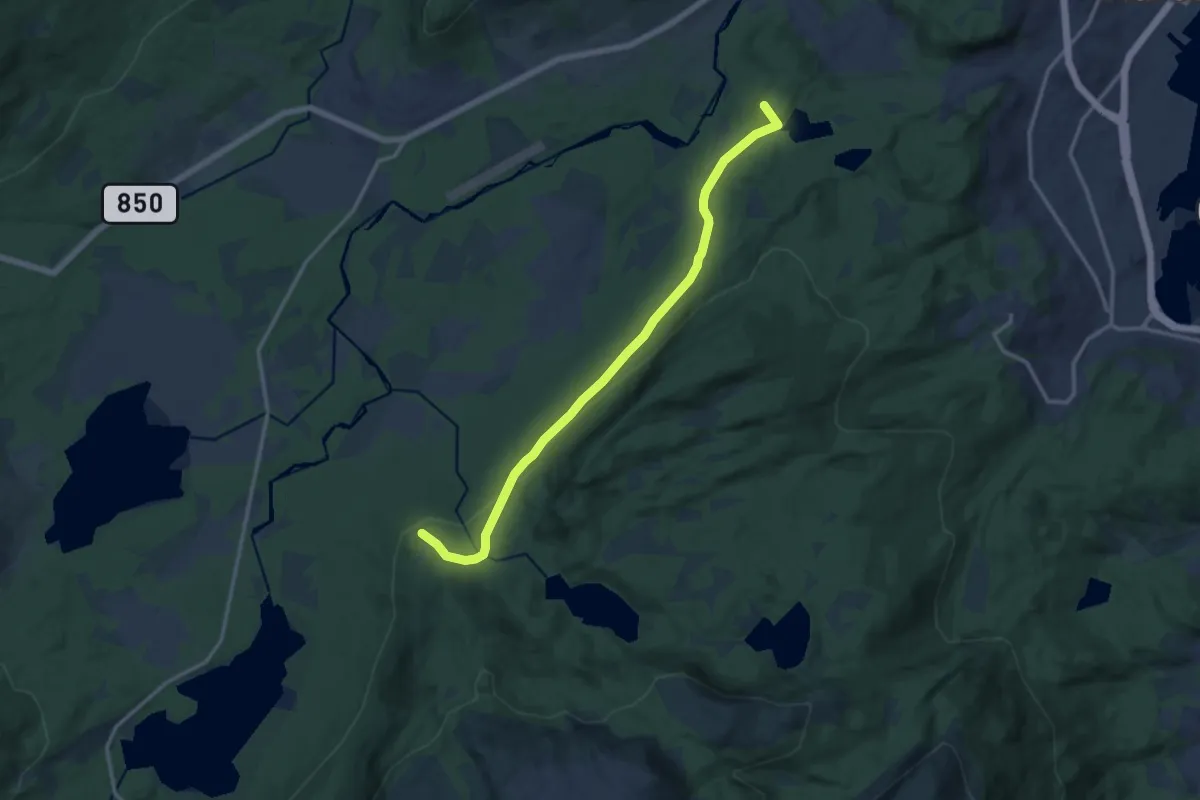
Fiskefjorden – Toralfsbu
15.9 km · ↑ 720 m · 5 h 18 min
Easy · Summit
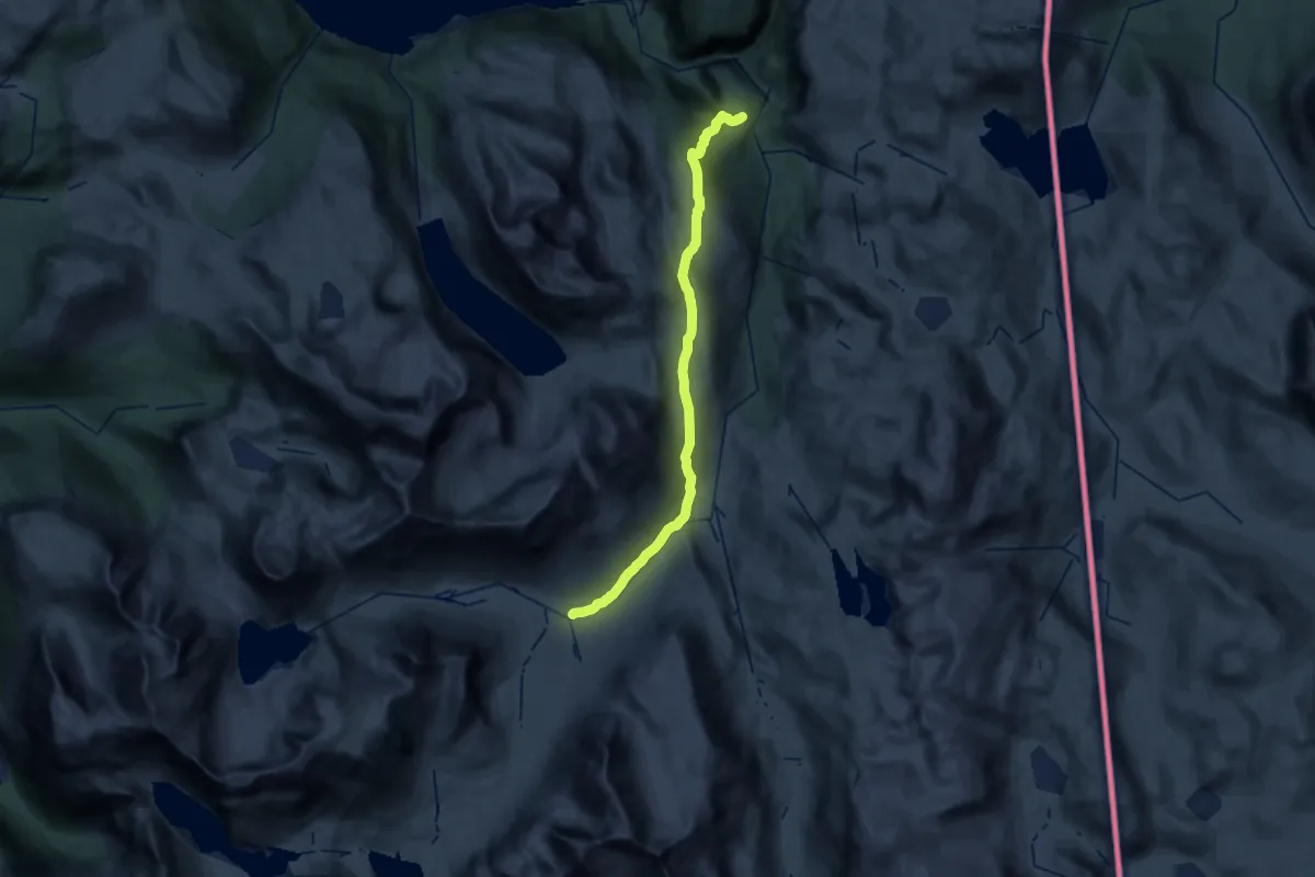
Grønnkollen – Fjellvegen
7.3 km · ↑ 194 m · 2 h 9 min
Demanding · Cabin
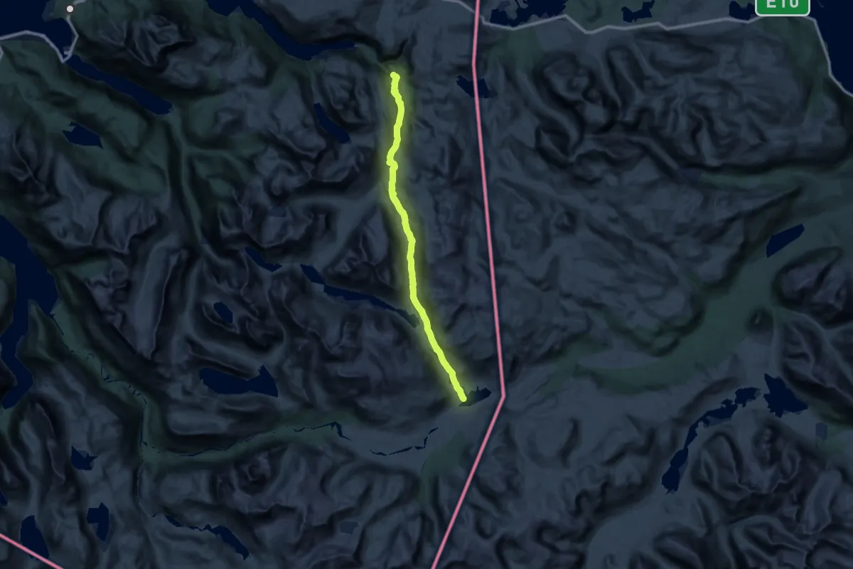
Hunddalshytta – Katterat
21.4 km · ↑ 714 m · 6 h 37 min
Demanding · Cabin
Cunojavrihytta – Katterat
25.5 km · ↑ 684 m · 7 h 42 min
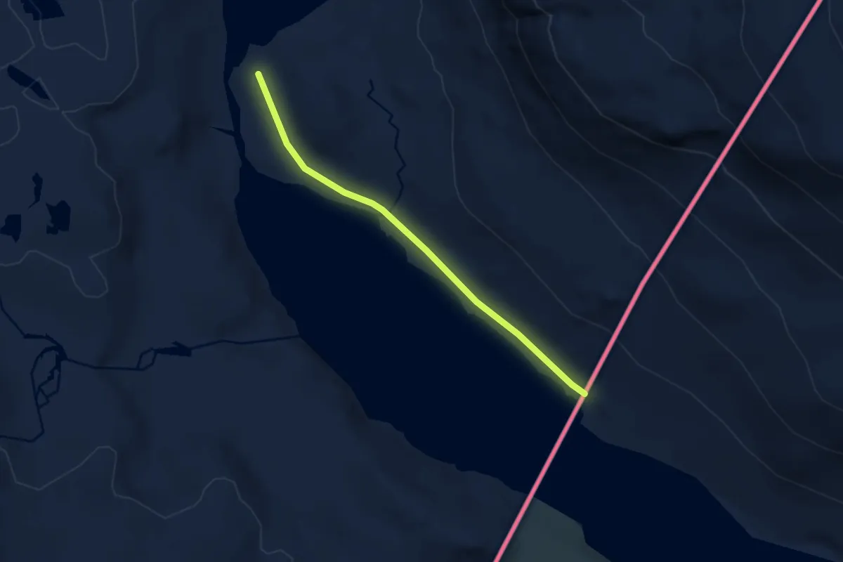
Easy · Trail
Sitashytta – Sørskjomen
4.0 km · ↑ 22 m · 1 h
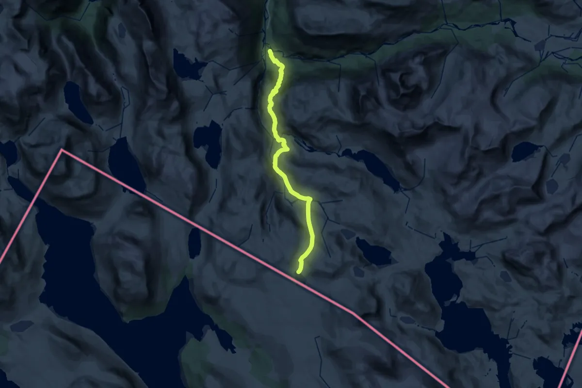
Medium · Cabin
Fjellbu – Skoaddejávrehytta
15.2 km · ↑ 169 m · 4 h 38 min
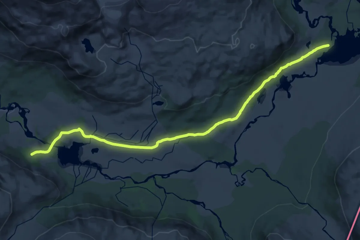
Demanding · Cabin
Cunojavrihytta – Vuostagorzi
20.1 km · ↑ 218 m · 5 h 14 min
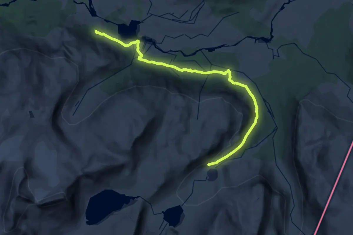
Demanding · Trail
Caihnavaggihytta – Norddalen
19.8 km · ↑ 386 m · 5 h 30 min
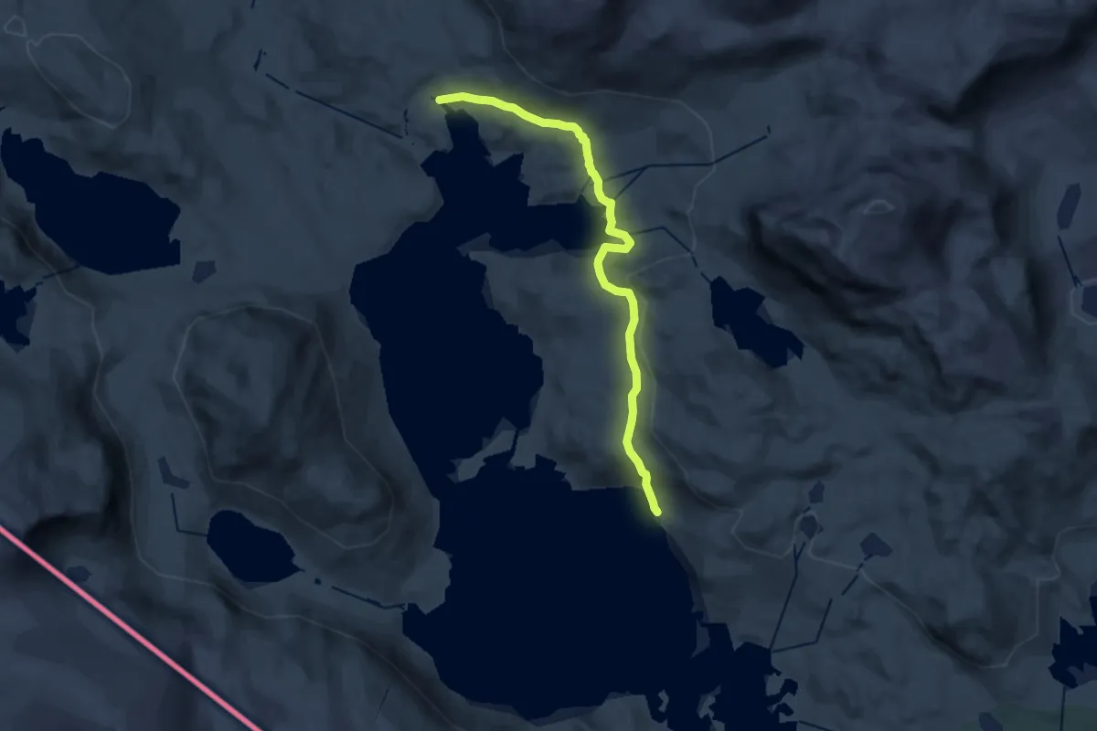
Expert · Cabin
Gautelisvatnet – Gautelihytta
13.2 km · ↑ 473 m · 4 h 8 min
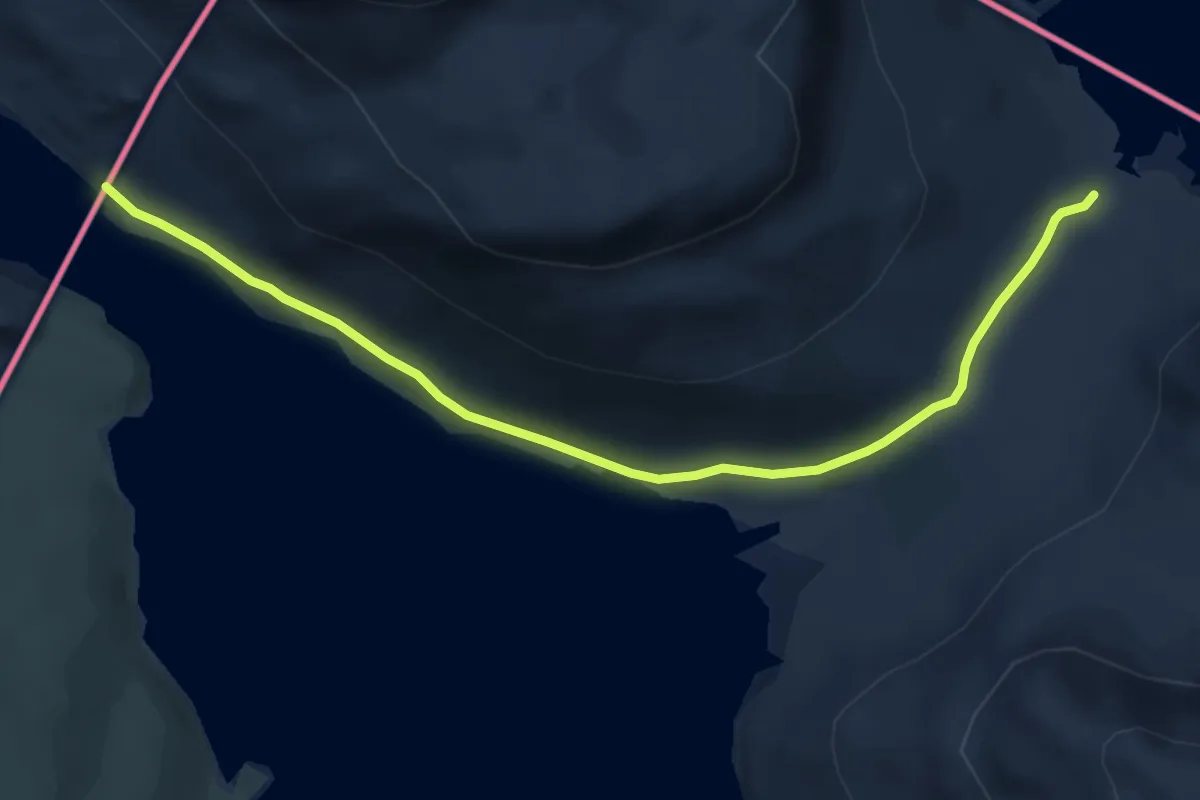
Medium · Trail
Tjårdevatnet – Sidashytta
11.4 km · ↑ 170 m · 3 h 4 min
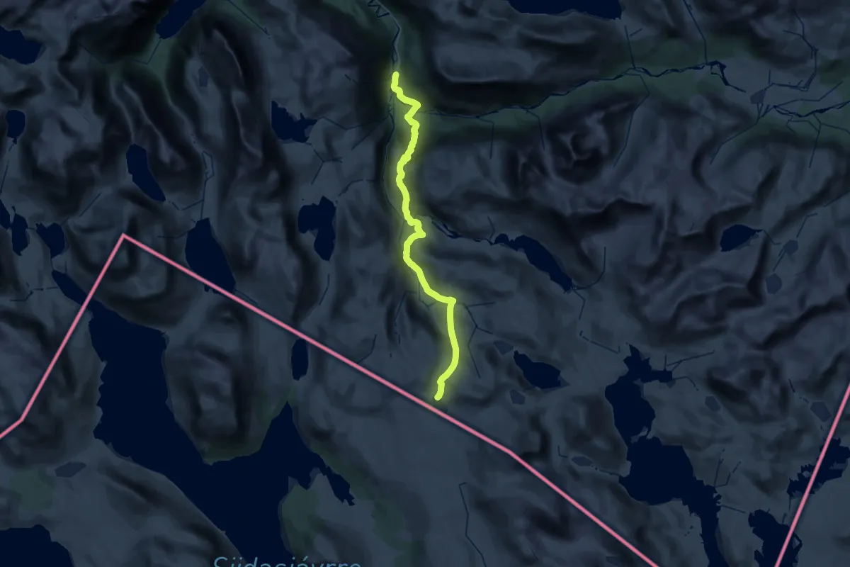
Demanding · Cabin
Bogholmen – Skoaddejávrehytta
17.0 km · ↑ 1118 m · 6 h 12 min
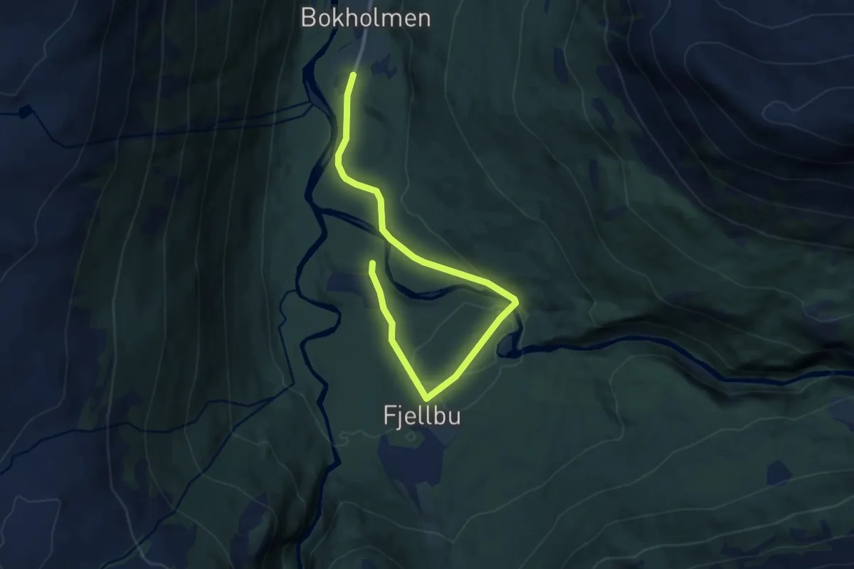
Easy · Cabin
Bogholmen – Fjellbu
6.8 km · ↑ 67 m · 1 h 45 min
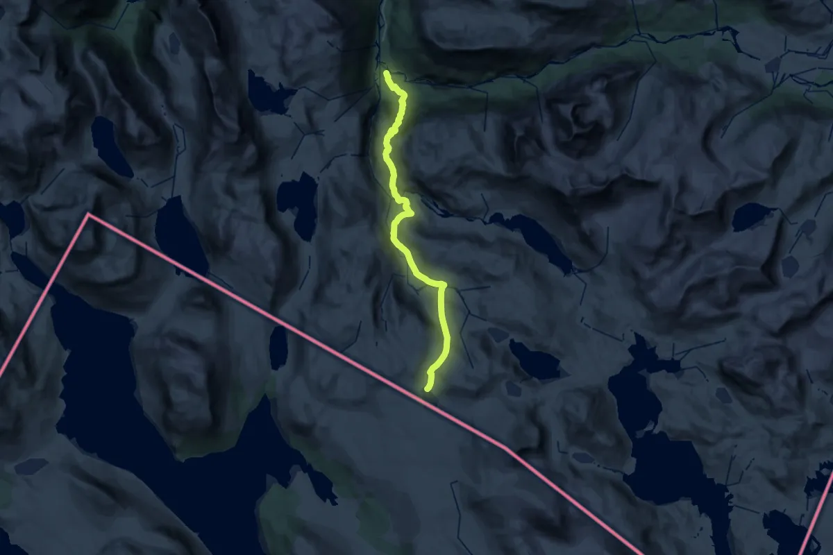
Medium · Cabin
Fjellbu – Skoaddejávrehytta
15.2 km · ↑ 169 m · 4 h 38 min
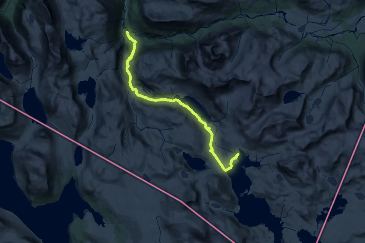
Expert · Cabin
Fjellbu – Gautelihytta
20.7 km · ↑ 243 m · 6 h 5 min
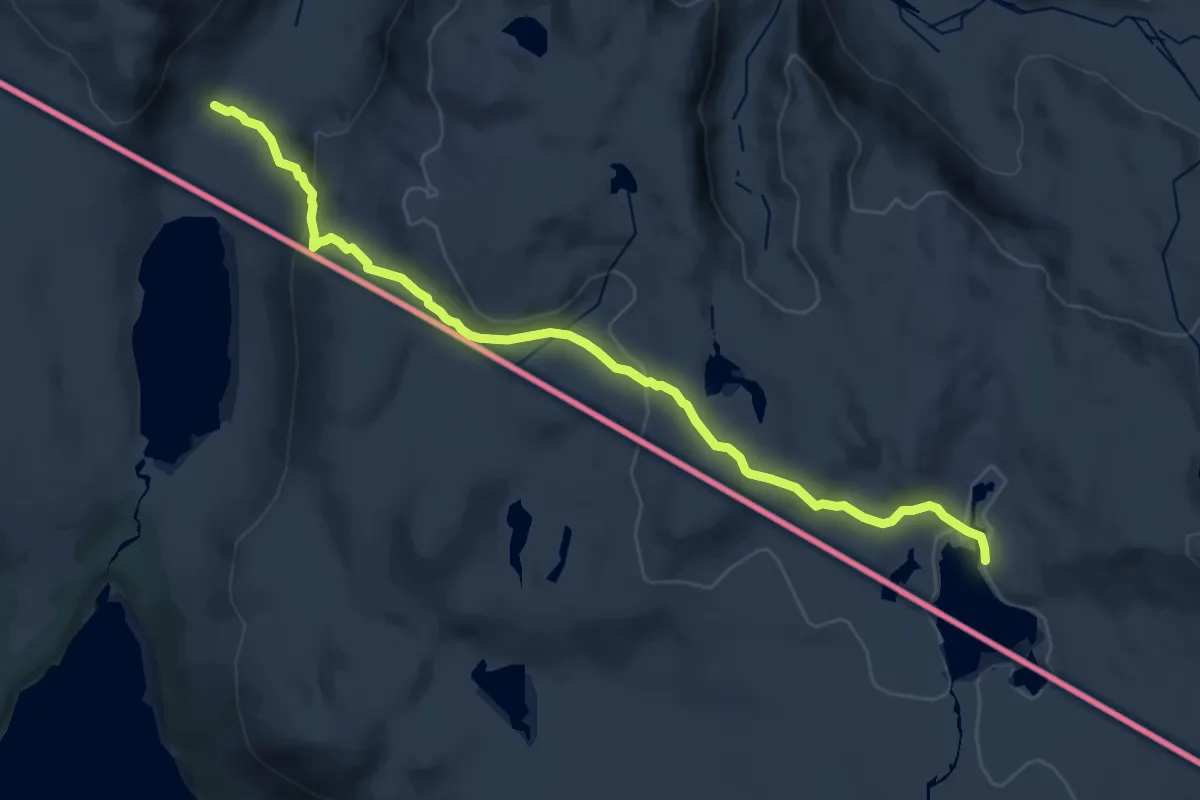
Expert · Cabin
Rárkkajávri – Skoaddejávrehytta
14.5 km · ↑ 500 m · 4 h 30 min
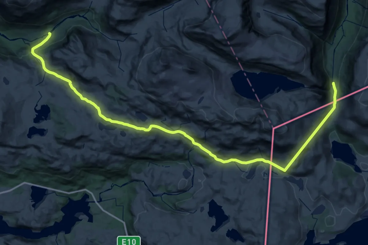
Demanding · Trail
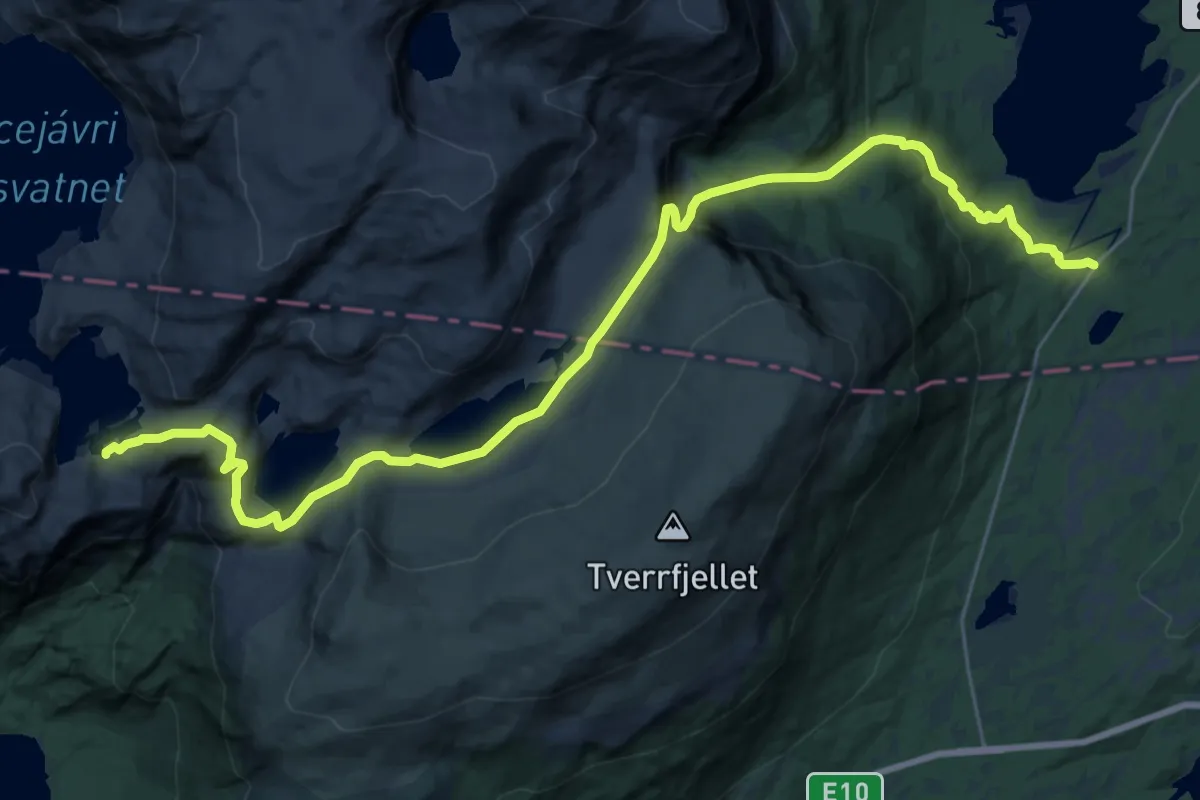
Stordalsstua – Øse
18.2 km · ↑ 723 m · 6 h 9 min
Demanding · Cabin
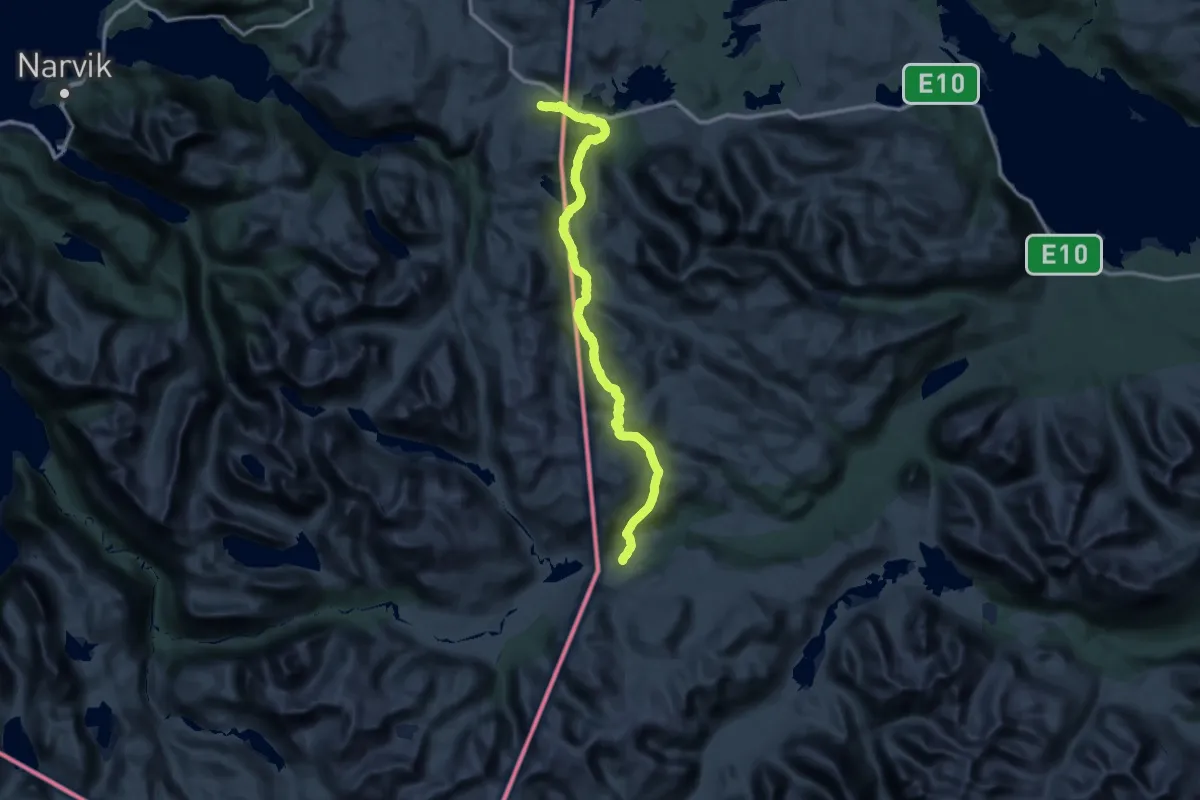
Skoddeberghytta – Niingshytta
18.1 km · ↑ 687 m · 5 h 45 min
Demanding · Cabin
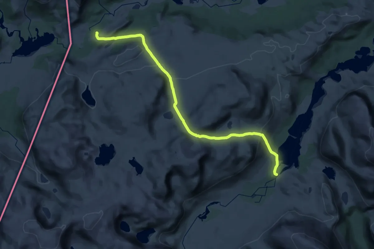
Unna Allakastugorna – Bjørnfjell
35.2 km · ↑ 780 m · 10 h 24 min
Medium · Cabin
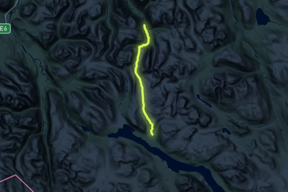
Alesjaurestugorna – Unna Allakastugan
15.0 km · ↑ 576 m · 4 h 58 min
Demanding · Cabin
Gaskashytta – Kirkesdalen
26.3 km · ↑ 907 m · 8 h 20 min
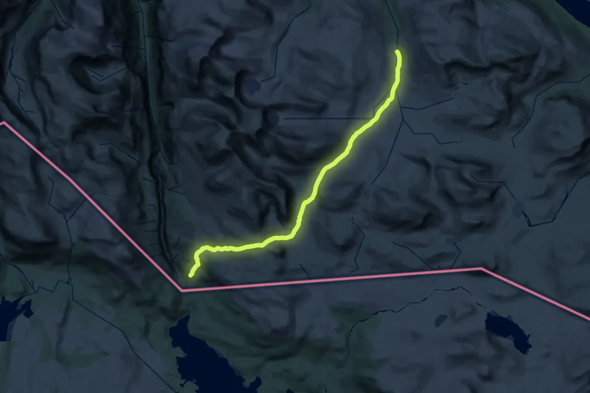
Medium · Cabin
Lappjordhytta – Altevasshytta
17.5 km · ↑ 390 m · 5 h 18 min
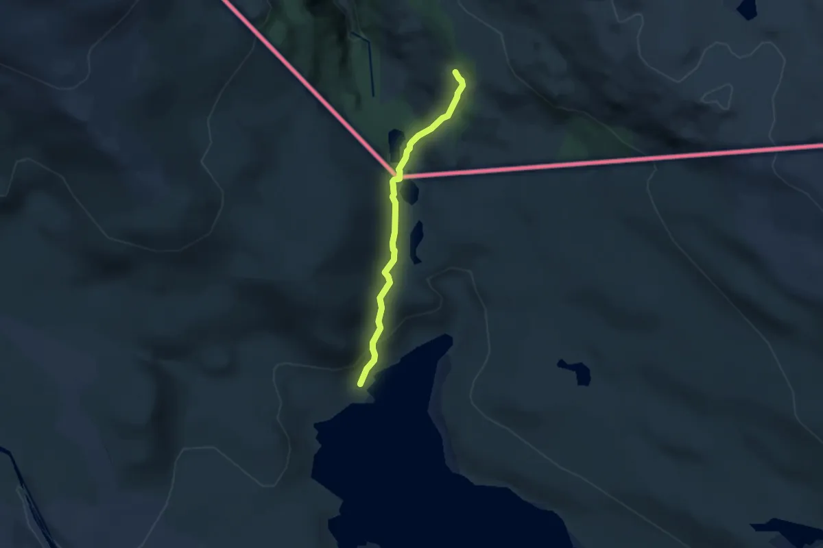
Easy · Cabin
Lappjordhytta – Palnostugan
5.4 km · ↑ 275 m · 1 h 52 min
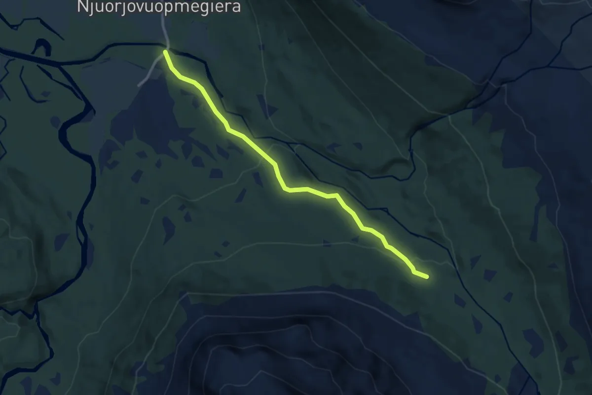
Easy · Trail
Lappjordhytta – Bones
5.0 km · ↑ 187 m · 1 h 35 min
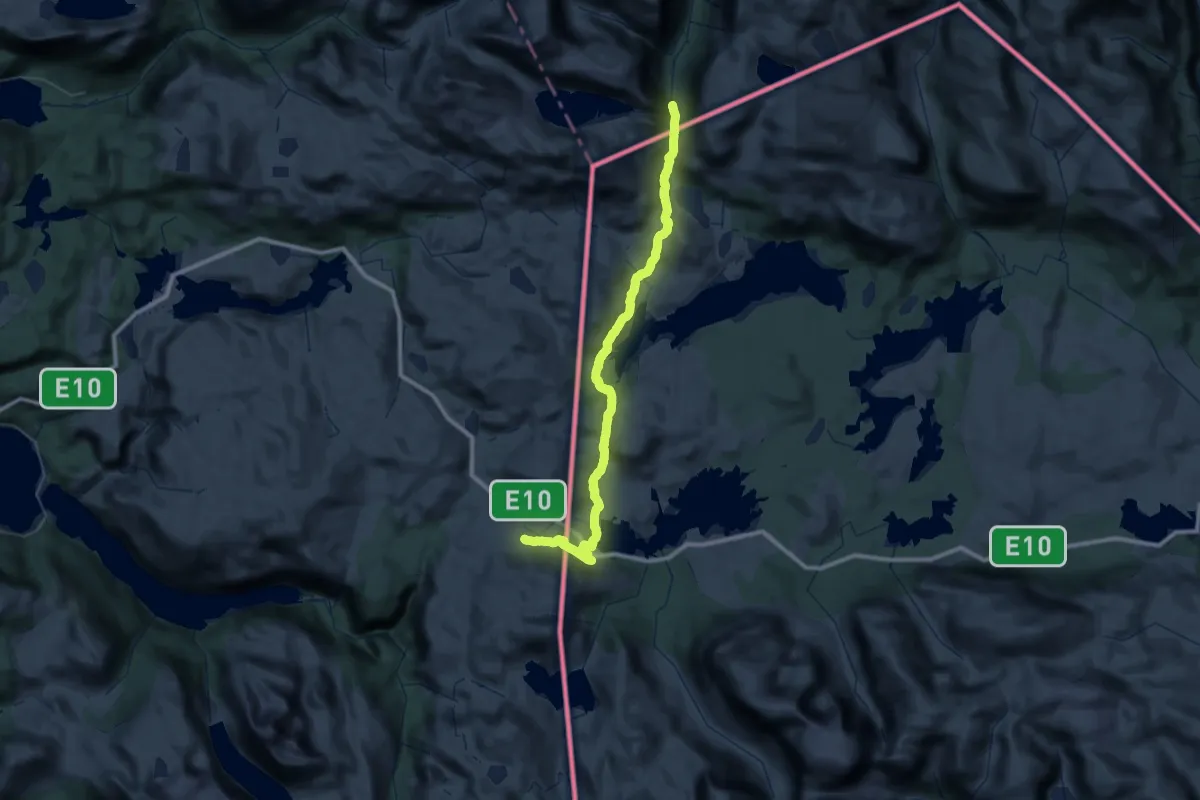
Demanding · Trail
Stordalsstua – Bjørnfjell
19.1 km · ↑ 462 m · 5 h 46 min