Trails in Norway
7,452 hiking trails, each with its route, climb, walking time and grade.
All trails, page 62 of 156
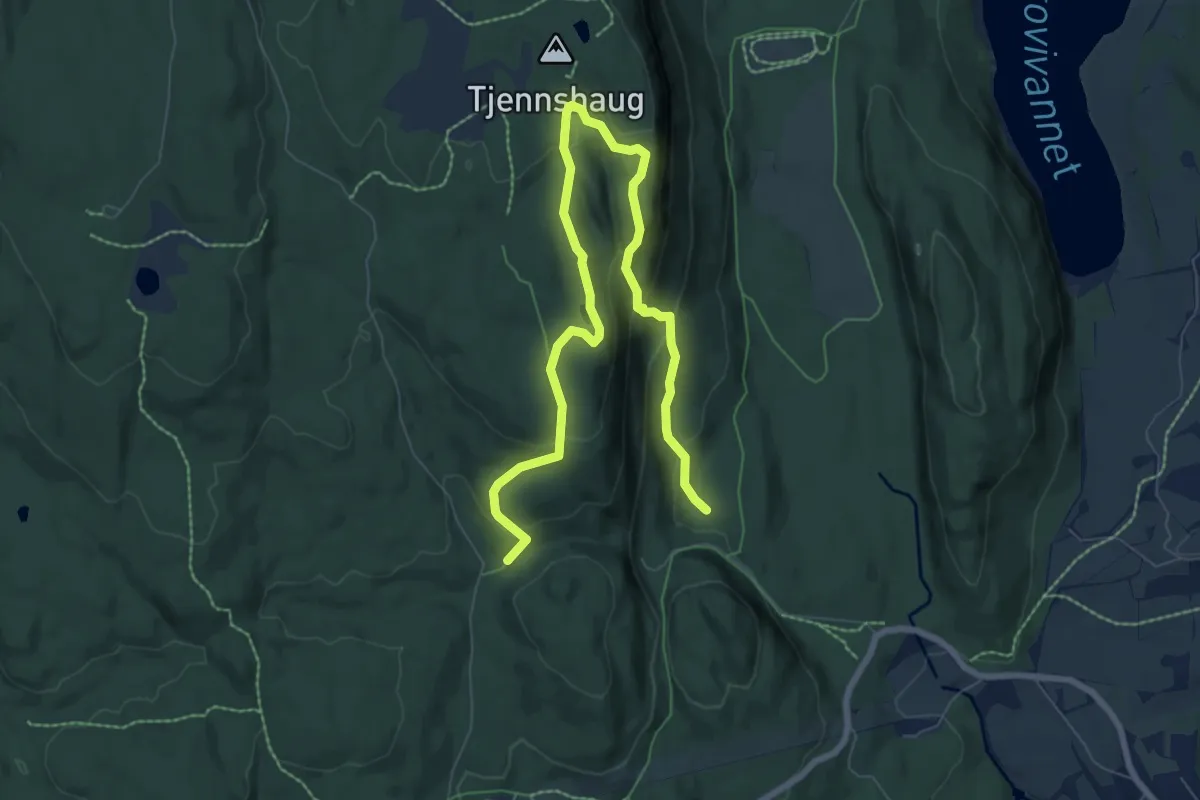
Medium · Trail
Merket sti til Ramsåsen
6.8 km · ↑ 343 m · 2 h 21 min
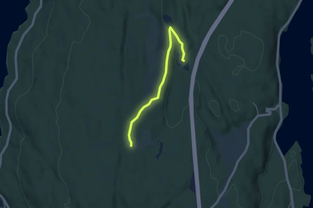
Easy · Trail
Merket trase Torbjørnsrud-Bjørnsgård
2.6 km · ↑ 25 m · 39 min
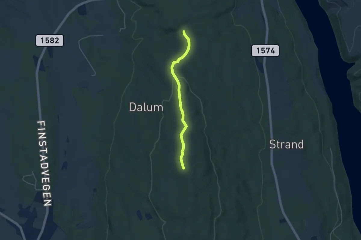
Easy · Trail
Merramyra - Strandsåstårnet
2.5 km · ↑ 51 m · 42 min
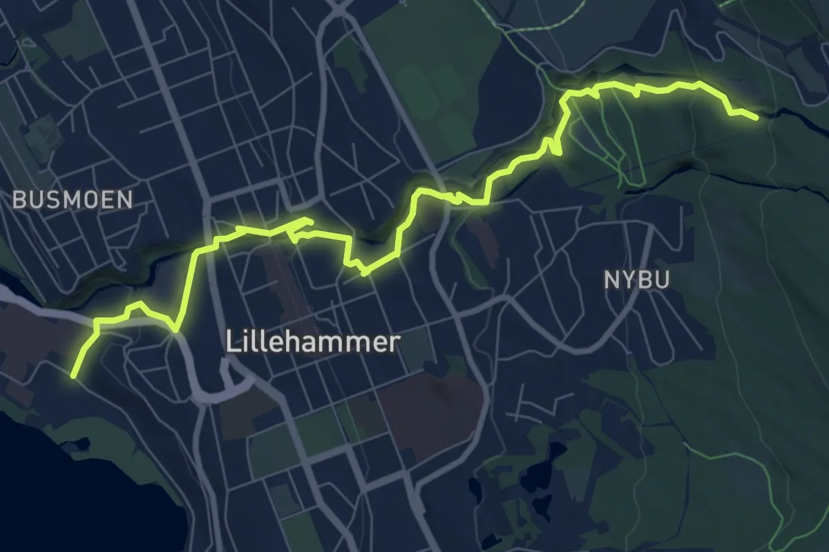
Easy · Trail
Mesna Kultursti
7.1 km · ↑ 258 m · 2 h 15 min
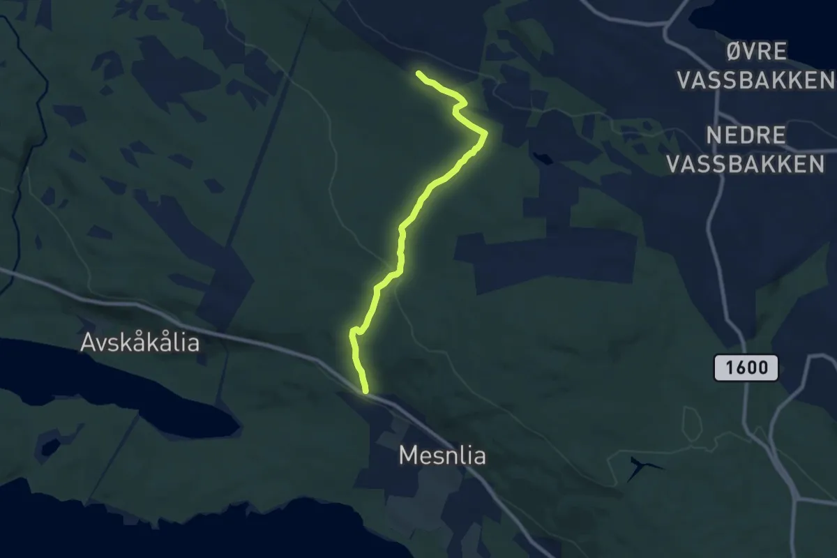
Easy · Trail
Mesnalia - Nybu
5.4 km · ↑ 166 m · 1 h 38 min
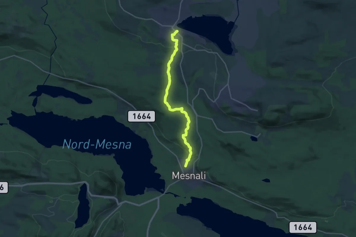
Medium · Trail
Mesnalia - Vassbakken
11.8 km · ↑ 273 m · 3 h 23 min
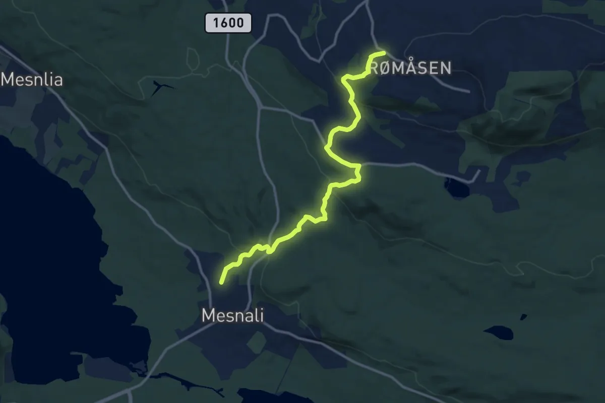
Medium · Trail
Mesnali - Nattrudstilen
8.2 km · ↑ 328 m · 2 h 38 min
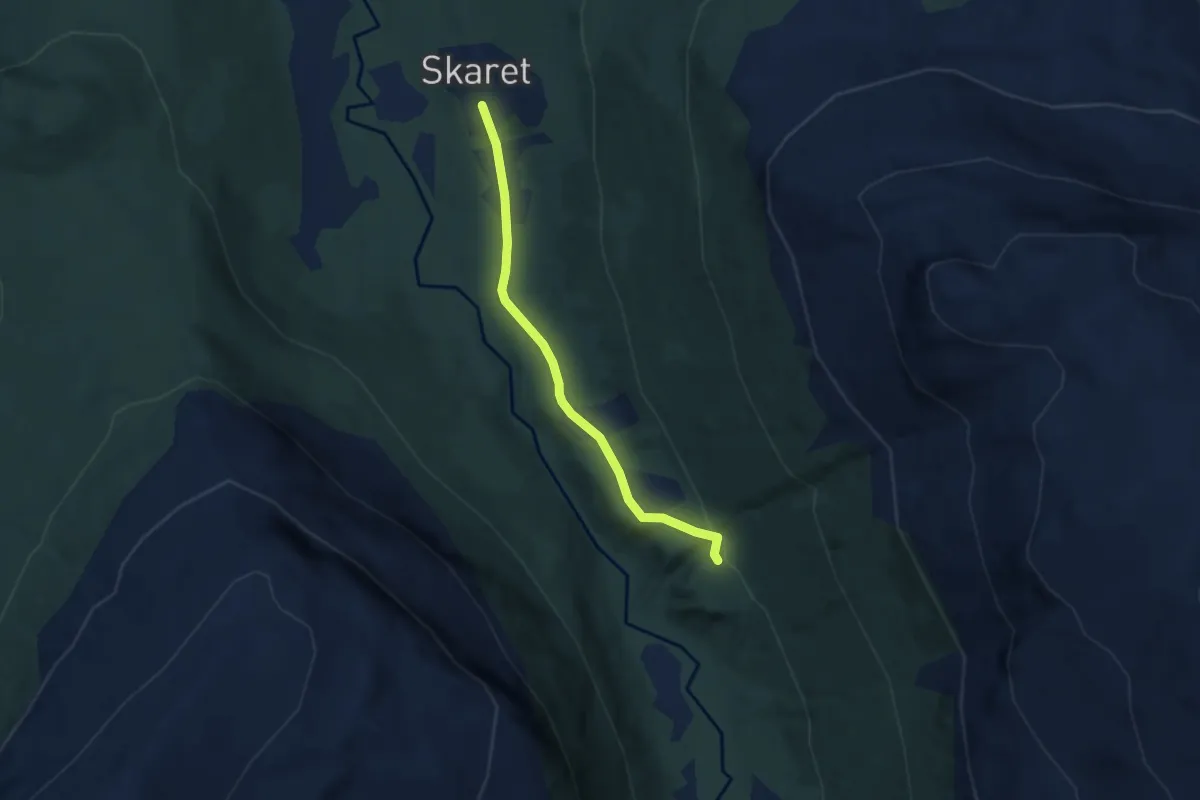
Easy · Trail
Middagsbu Skardalen
2.8 km · ↑ 67 m · 49 min
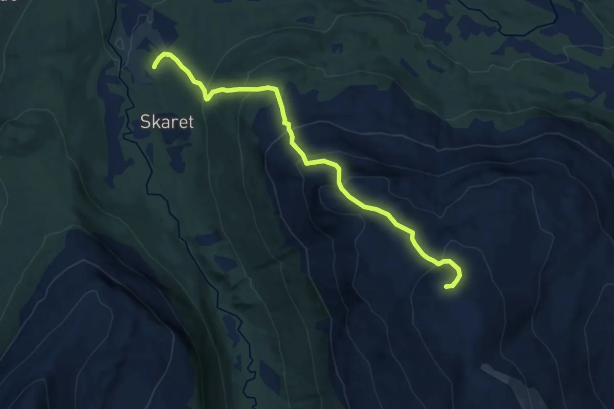
Medium · Trail
Middagsfjellet
7.1 km · ↑ 653 m · 3 h 5 min
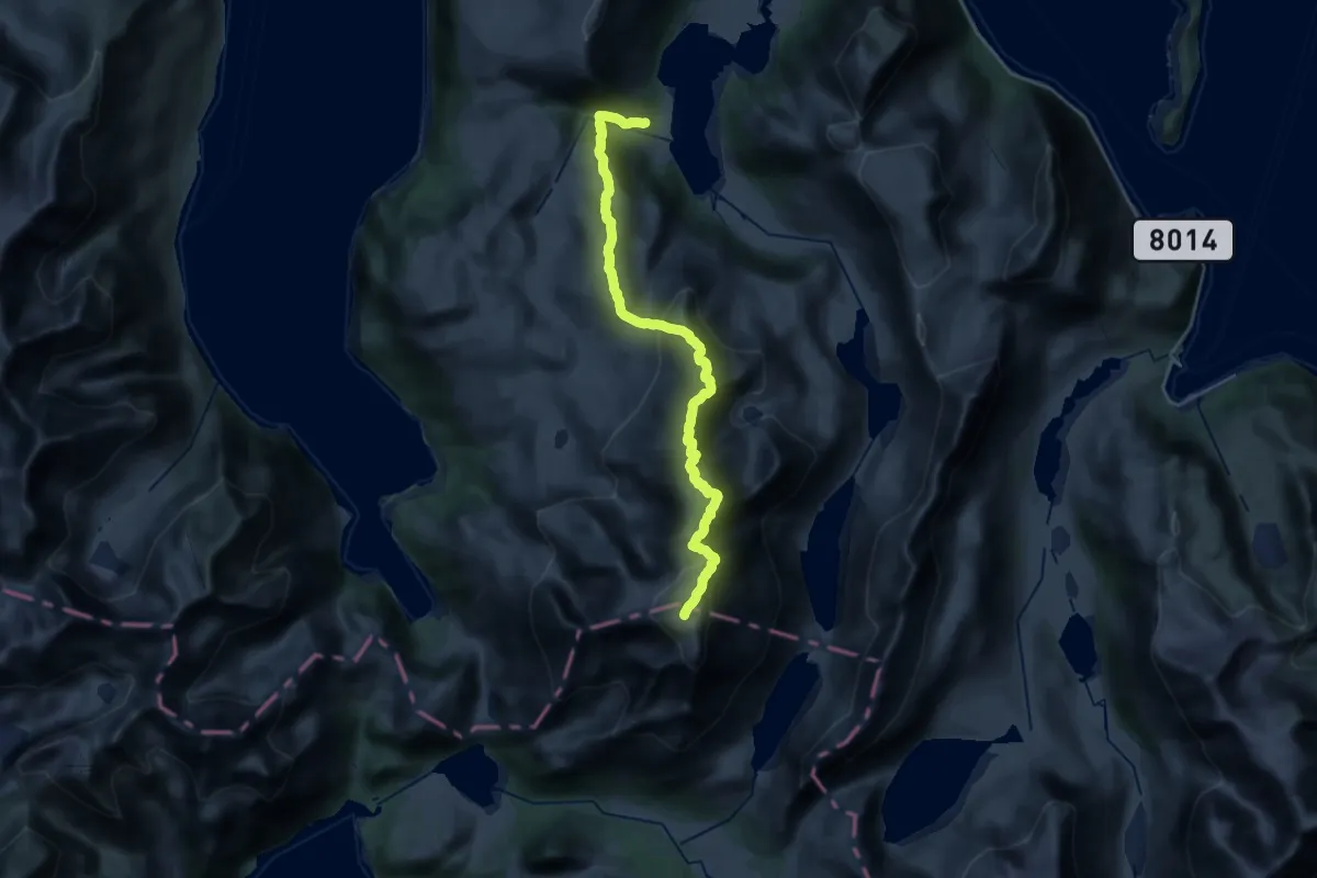
Demanding · Trail
Middagsfjellet
15.6 km · ↑ 1135 m · 6 h 8 min
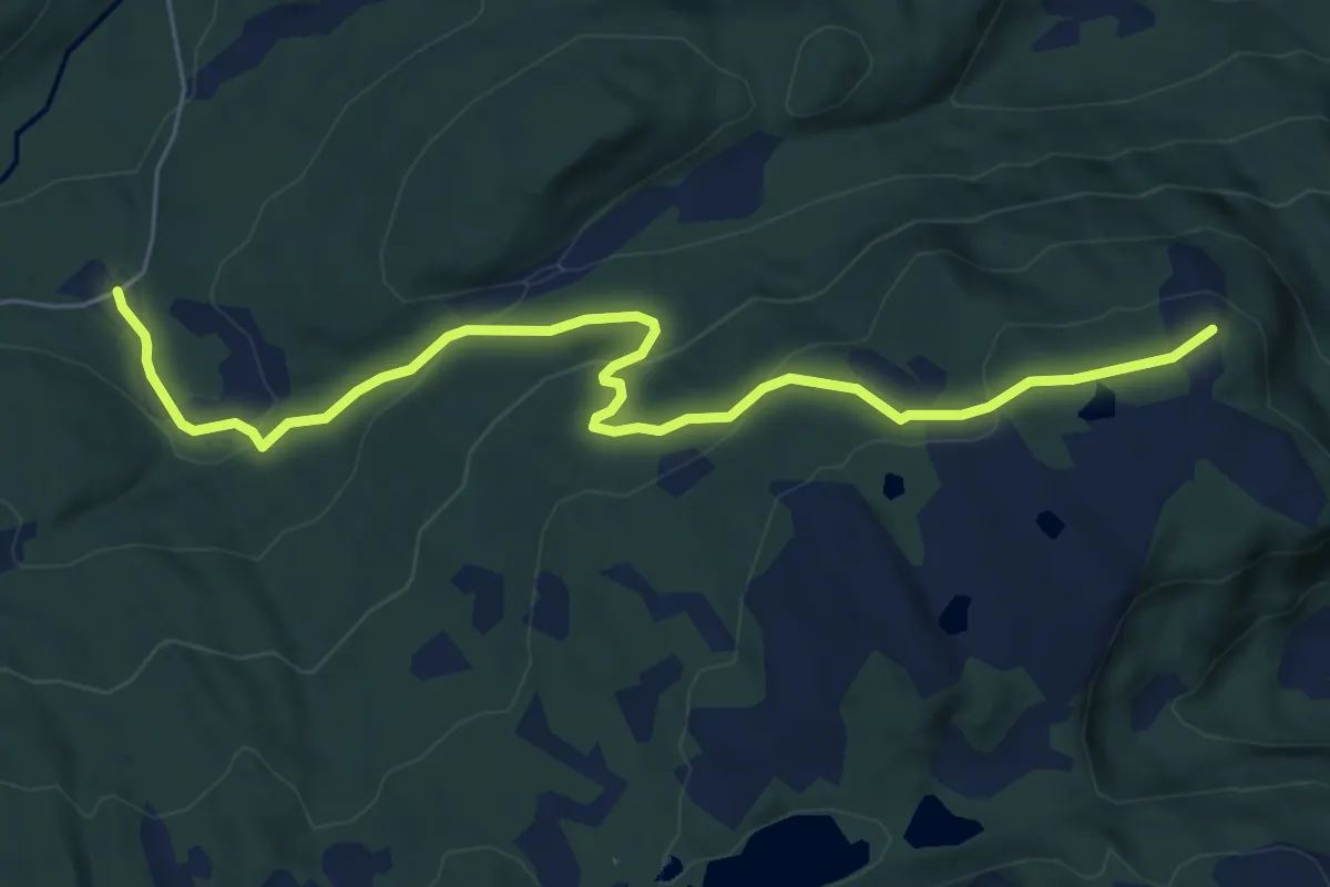
Easy · Trail
Middagsfjellet fra Frøvollsetervegen
5.0 km · ↑ 236 m · 1 h 42 min
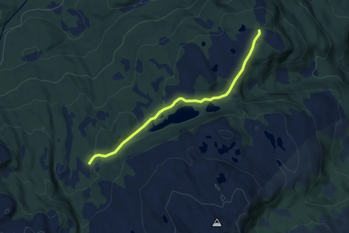
Easy · Trail
Middagsfjellet - Sølandseter
4.2 km · ↑ 74 m · 1 h 9 min
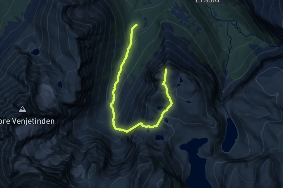
Demanding · Trail
Middagsfjellet via Kvanndalen
10.8 km · ↑ 892 m · 4 h 28 min
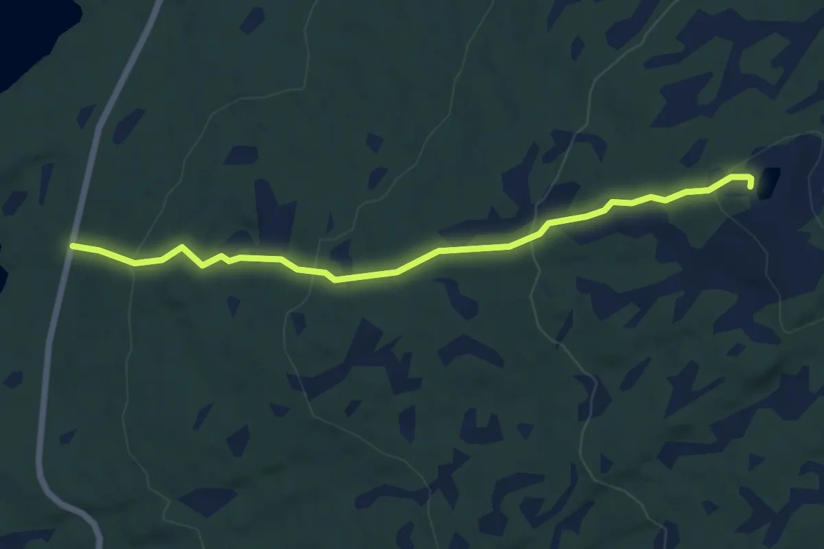
Easy · Trail
Middagshågen / Snaukollen
2.9 km · ↑ 176 m · 1 h 4 min
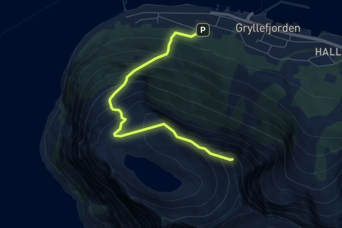
Medium · Trail
Middagstinden
3.6 km · ↑ 496 m · 1 h 55 min
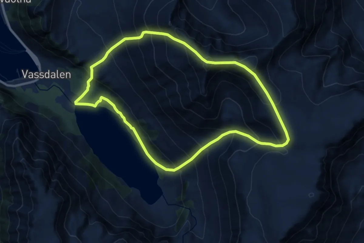
Demanding · Trail
Middagstinden/Rássevárri
13.9 km · ↑ 1669 m · 6 h 54 min
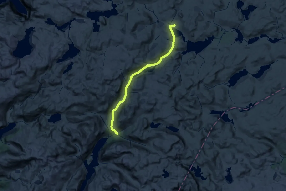
Demanding · Cabin
Middalsbu - Litlos
21.6 km · ↑ 233 m · 6 h 5 min
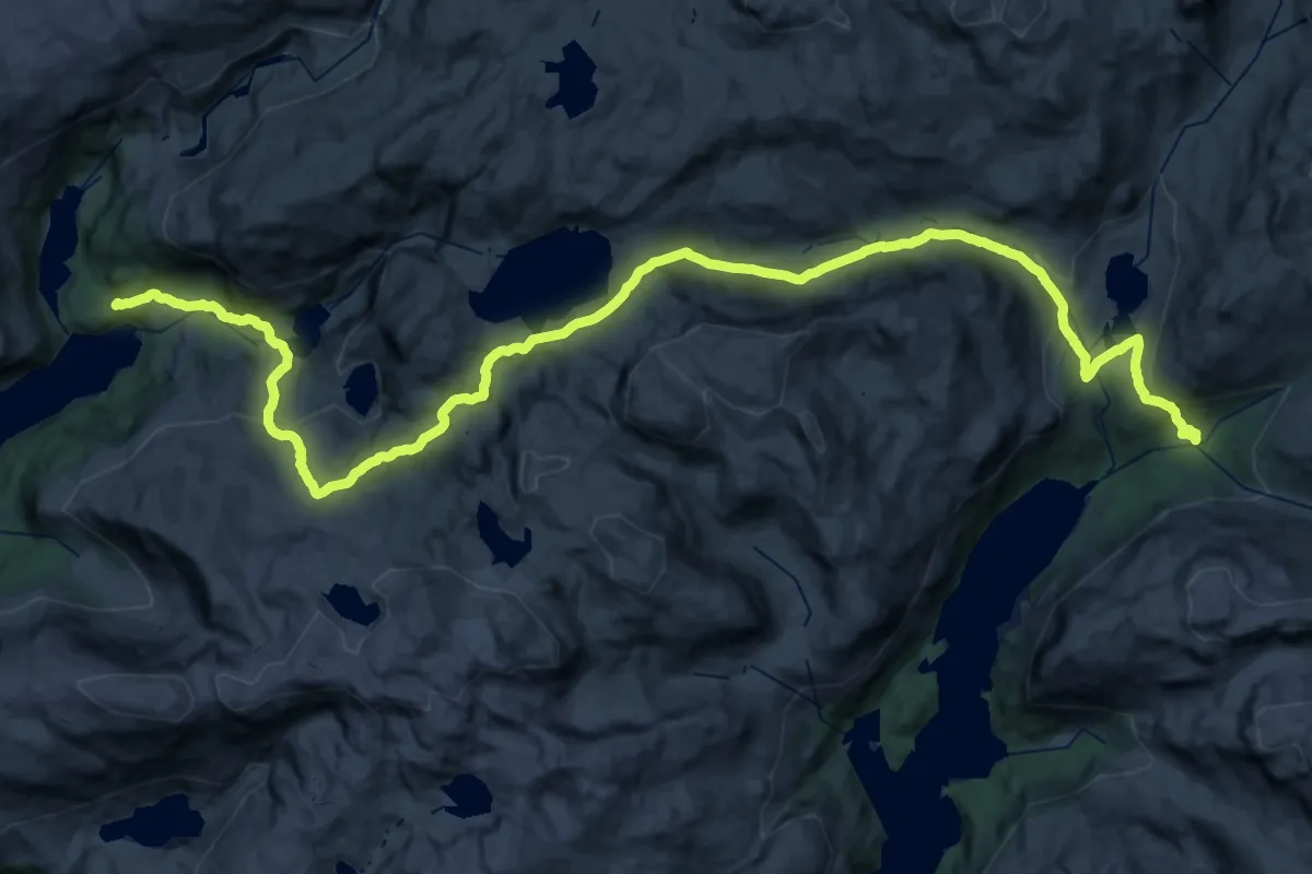
Demanding · Cabin
Middalsbu - Reinsnos
22.0 km · ↑ 849 m · 7 h 15 min
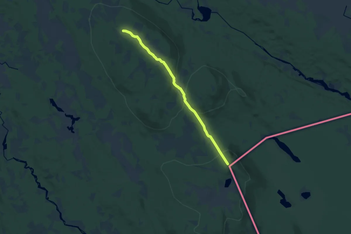
Medium · Trail
Midlertidig omlegging av finnskogled ved Kjølberget
9.6 km · ↑ 278 m · 2 h 52 min
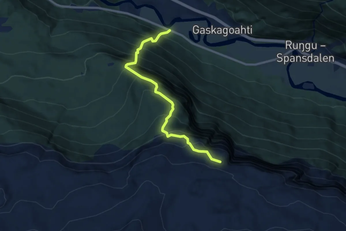
Medium · Trail
Midnattsoltrappa
3.3 km · ↑ 551 m · 1 h 58 min
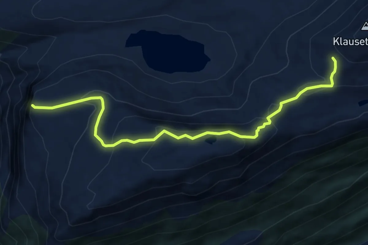
Easy · Trail
Midsundhornet-Trollhesten-Klausethornet
4.3 km · ↑ 261 m · 1 h 35 min
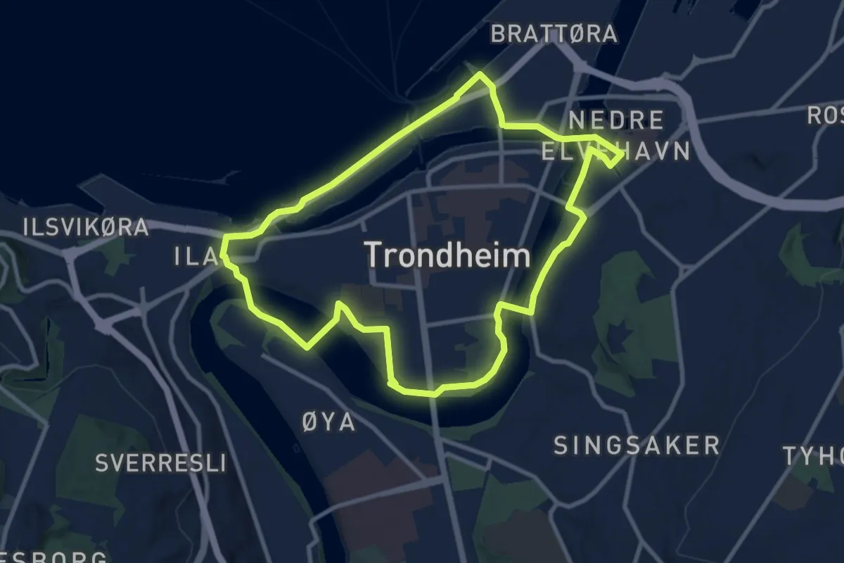
Easy · Trail
Midtbyrunden
5.9 km · ↑ 21 m · 1 h 31 min
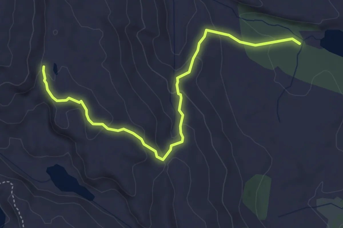
Easy · Trail
Midtfjellet
3.4 km · ↑ 159 m · 1 h 9 min
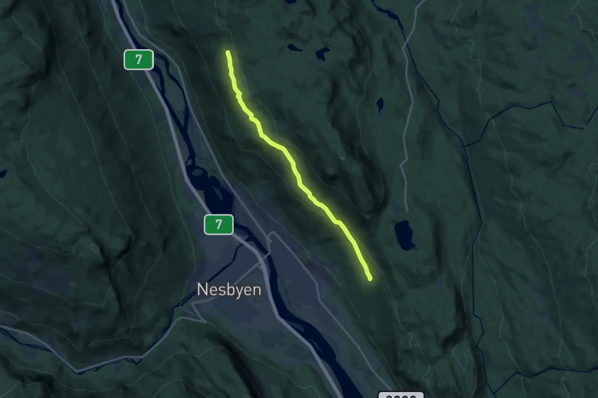
Medium · Trail
Midtlivegen
9.1 km · ↑ 285 m · 2 h 47 min
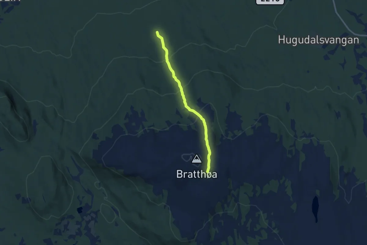
Medium · Trail
Midtmåsåveien fra Bratthøa til Grønfjelliveien
5.4 km · ↑ 315 m · 1 h 58 min
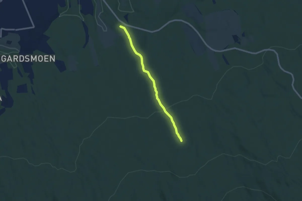
Medium · Trail
Midtmåsåveien opp til Grønfjelliveien
3.8 km · ↑ 147 m · 1 h 12 min
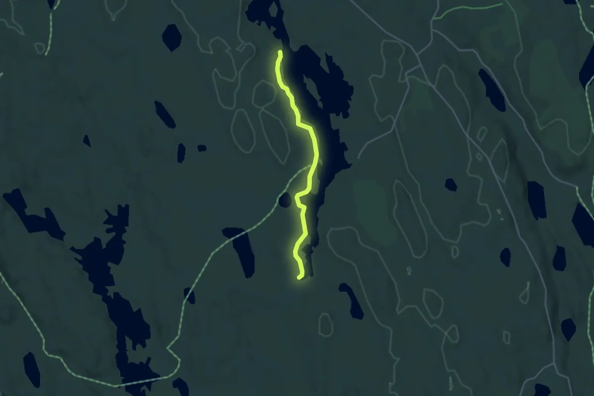
Easy · Trail
Midtre Ertevann - Ertevann syd
2.3 km · ↑ 0 m · 33 min
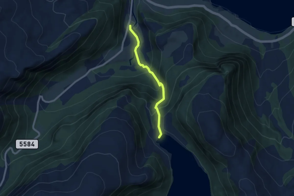
Easy · Trail
Midt-Taklestølen
3.0 km · ↑ 241 m · 1 h 13 min
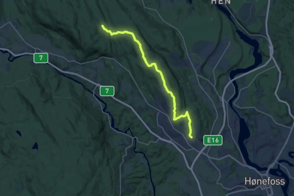
Medium · Trail
Midttjern til Hil stadion
11.6 km · ↑ 327 m · 3 h 27 min
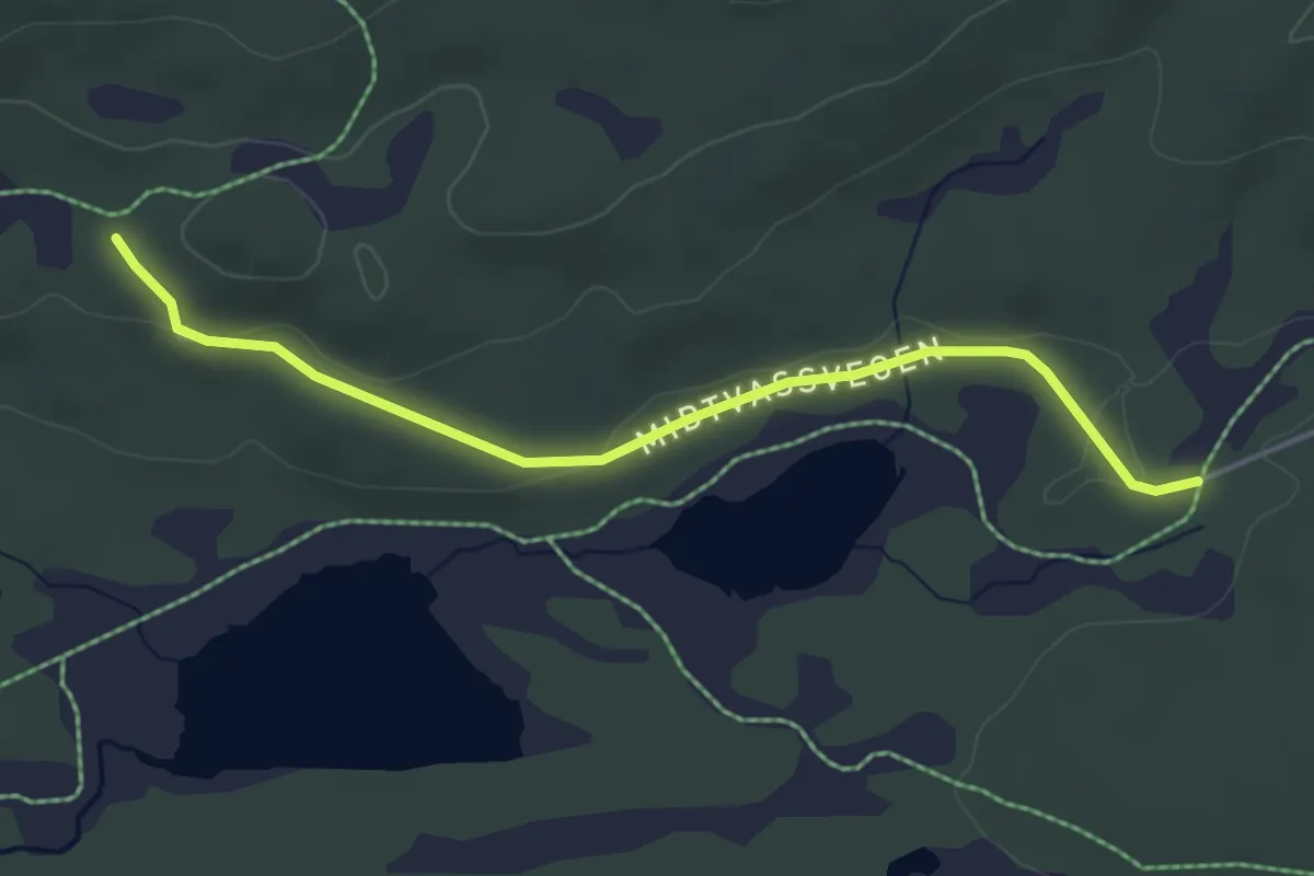
Easy · Trail
Midtvassvegen
3.1 km · ↑ 32 m · 49 min
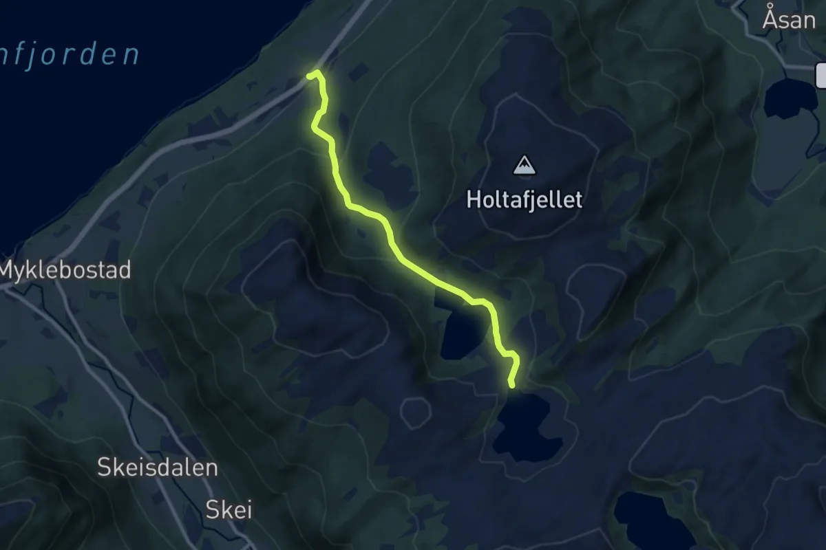
Easy · Trail
Midtvatnet
5.7 km · ↑ 289 m · 1 h 58 min
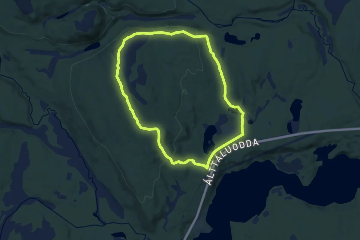
Medium · Trail
Mierovárri
12.0 km · ↑ 252 m · 3 h 23 min
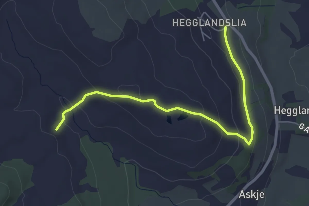
Easy · Trail
Mikalsgrovene - Askheia
3.8 km · ↑ 133 m · 1 h 11 min
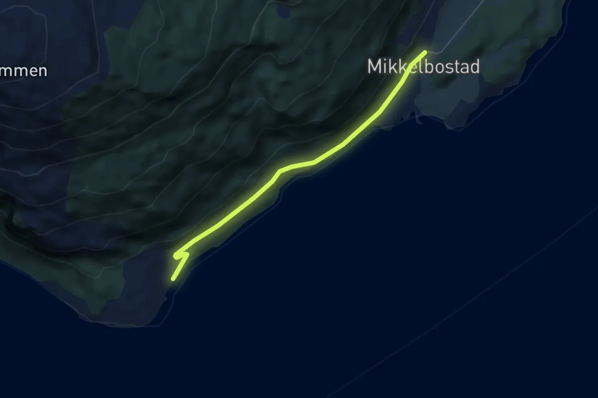
Easy · Trail
Mikkelbostad - Hagenes
2.8 km · ↑ 49 m · 47 min
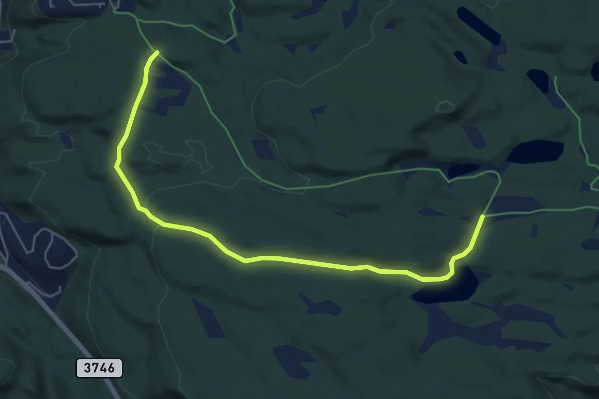
Easy · Trail
Mila via Støletjønn
3.9 km · ↑ 80 m · 1 h 6 min
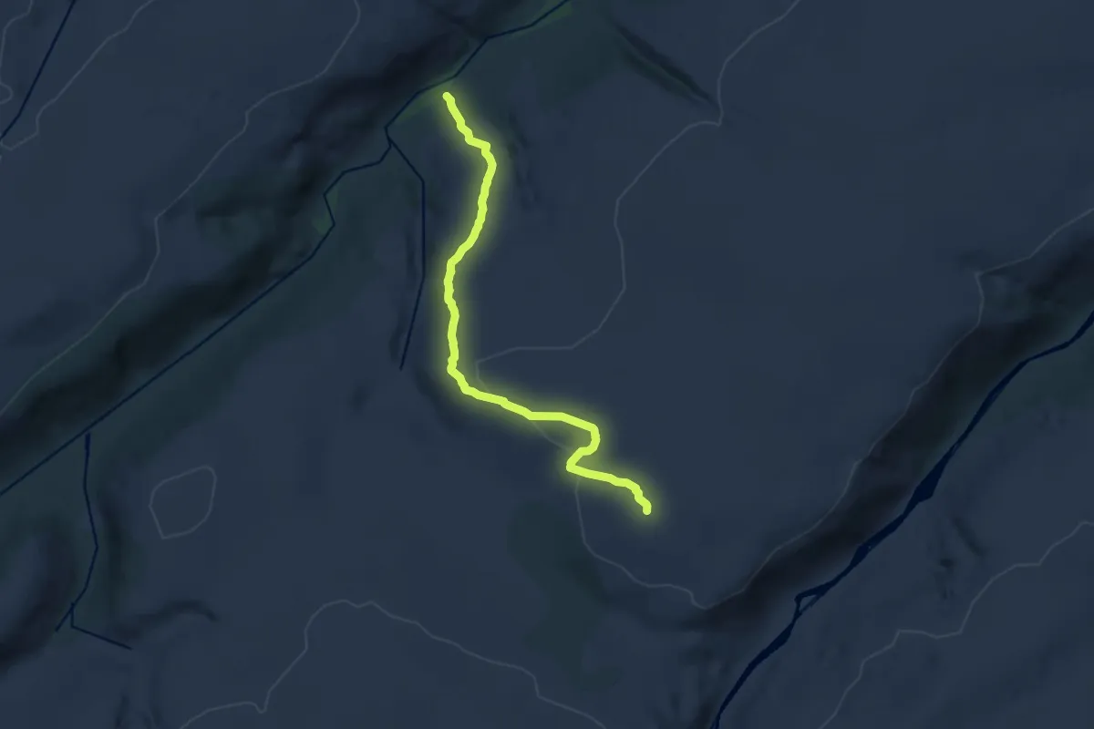
Easy · Trail
Milstein - Molvikveien
6.8 km · ↑ 195 m · 2 h 2 min
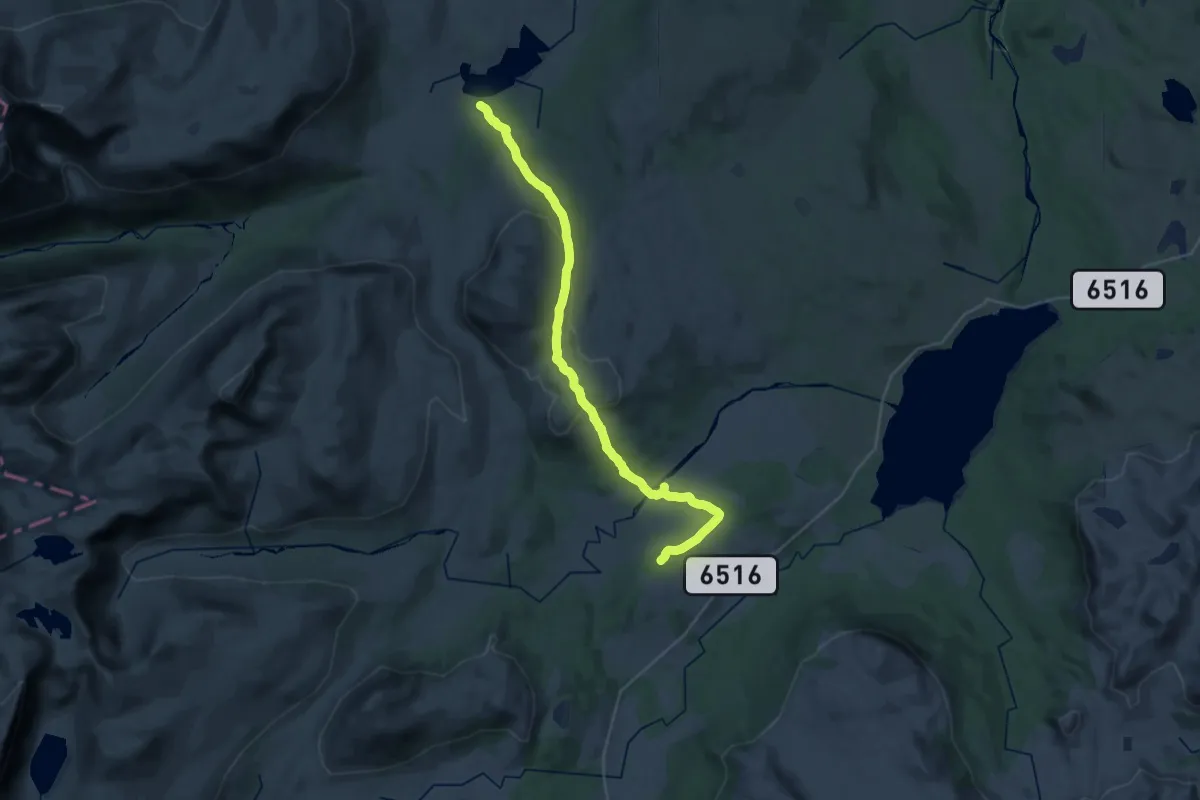
Demanding · Cabin
Minilldalen-Jøldalshytta
24.6 km · ↑ 667 m · 7 h 15 min
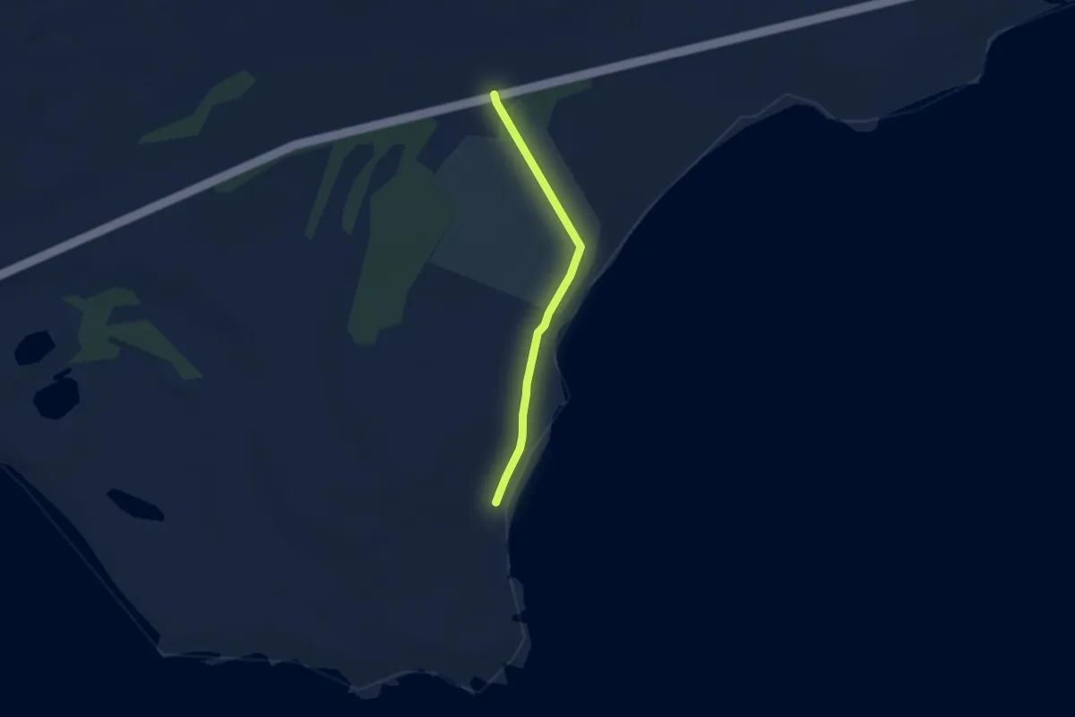
Easy · Trail
Minnesmerke Langbunes
2.3 km · ↑ 13 m · 34 min
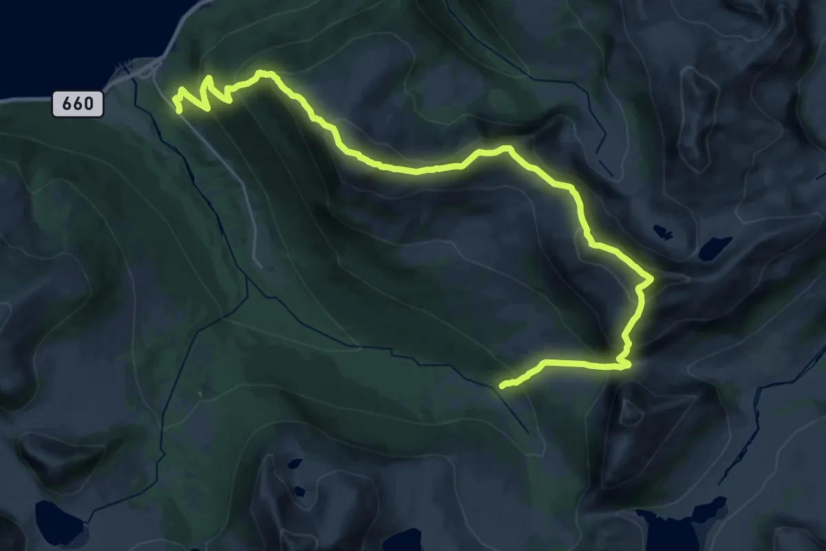
Demanding · Trail
Mittet-traversen
12.3 km · ↑ 1047 m · 5 h 29 min
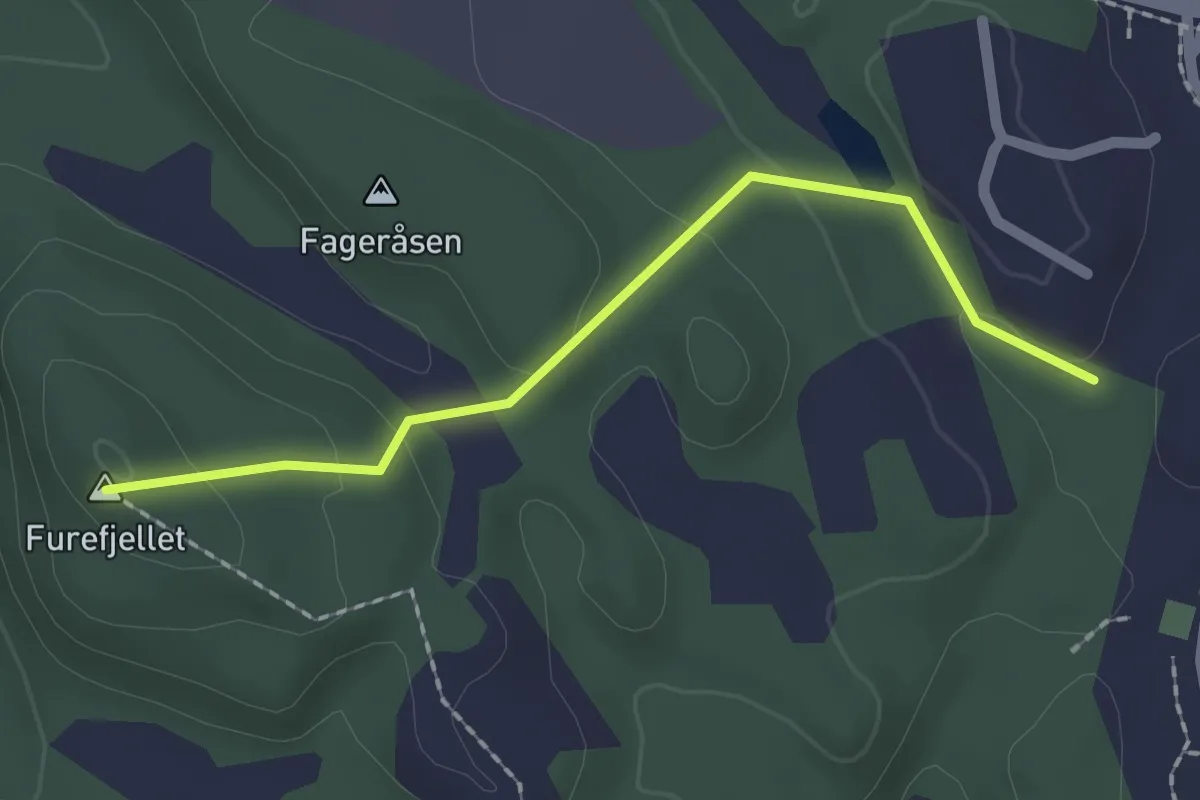
Easy · Summit
Mjåtveit-Furefjellet-Mjåtveitstø
1.4 km · ↑ 62 m · 28 min
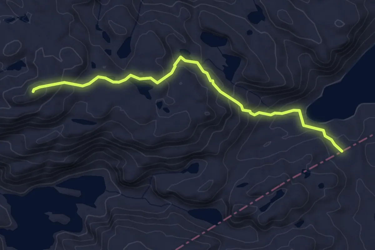
Easy · Trail
Mjåvassknuten
3.6 km · ↑ 239 m · 1 h 23 min
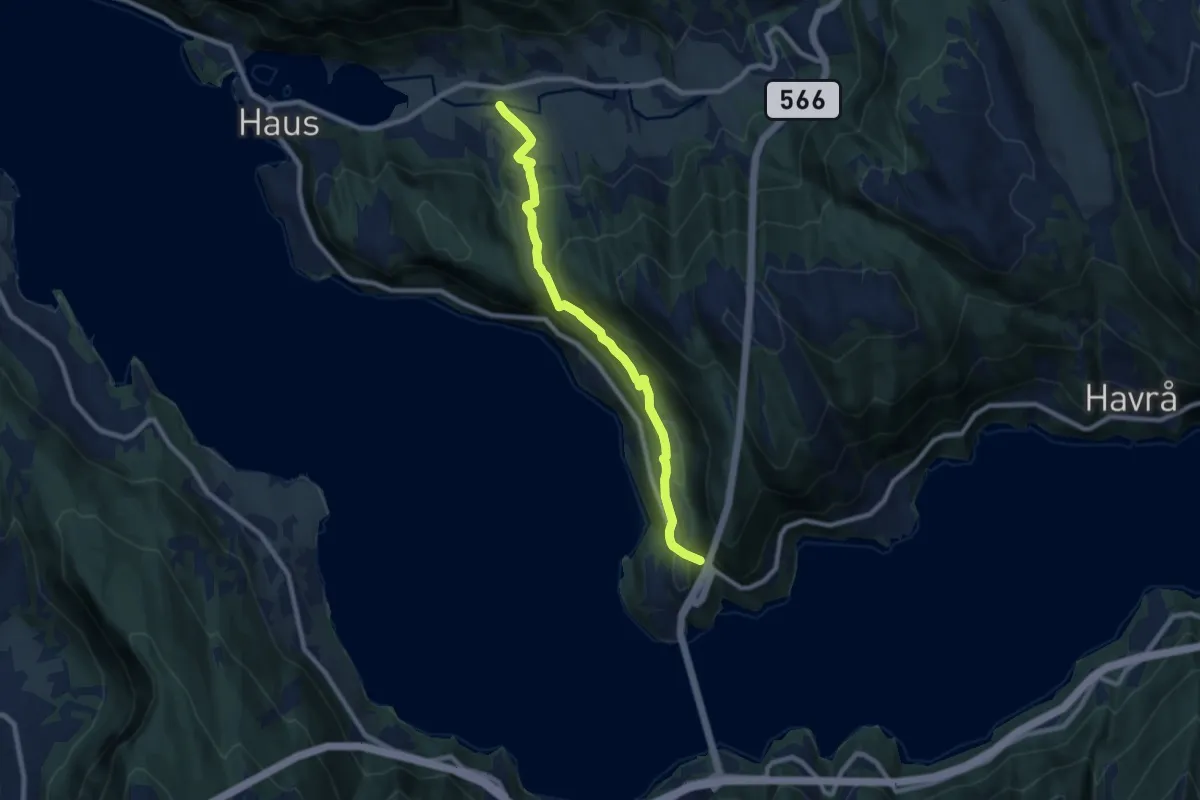
Medium · Trail
Mjelda -ŋŋ Kvisti
5.9 km · ↑ 365 m · 2 h 11 min
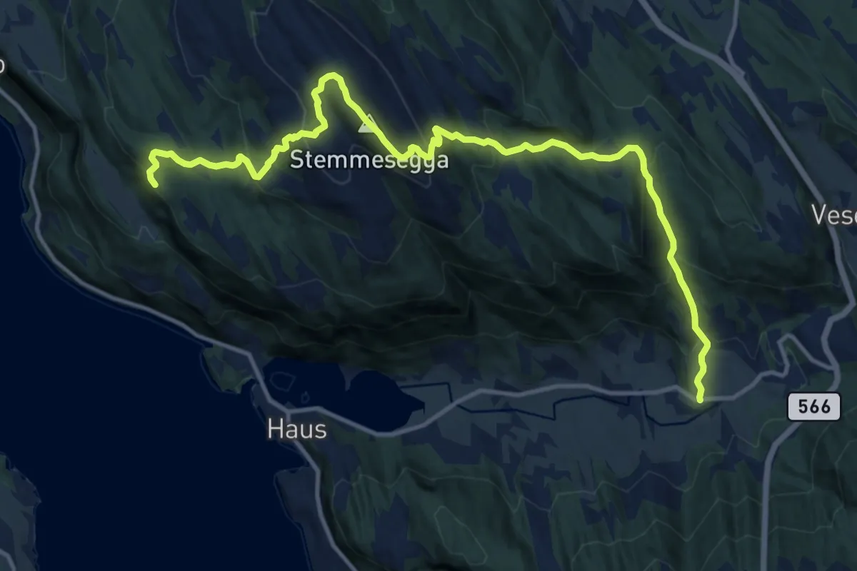
Medium · Trail
Mjelda -ŋŋ Stemmesegga -ŋŋ Sundland
10.5 km · ↑ 756 m · 4 h 7 min
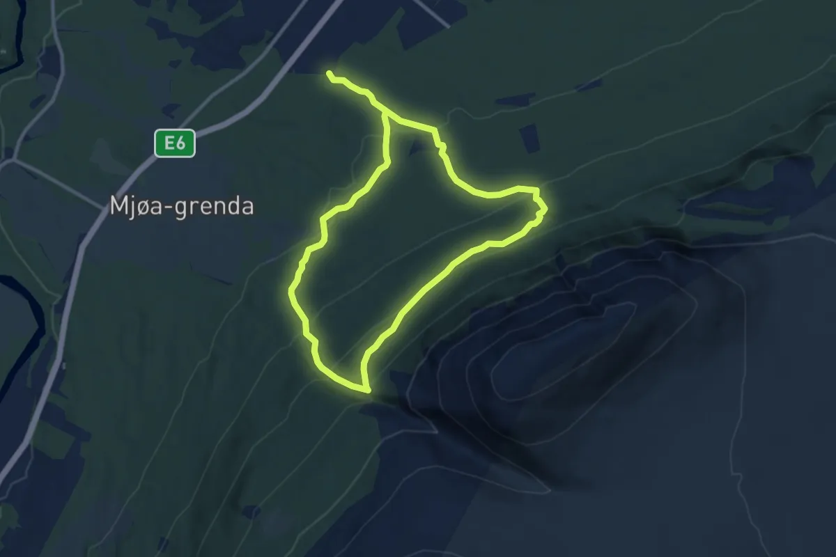
Medium · Trail
Mjøastigin M7
11.8 km · ↑ 695 m · 4 h 18 min
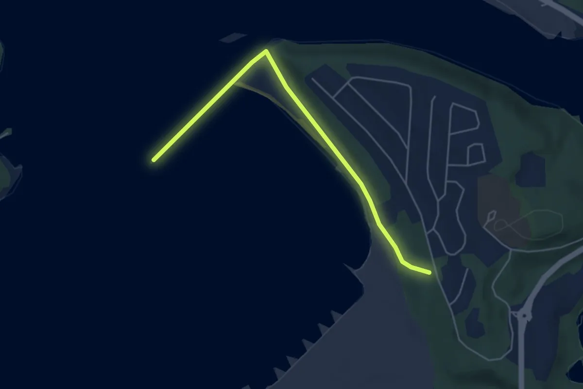
Easy · Trail
Mjølanodden
2.9 km · ↑ 21 m · 44 min
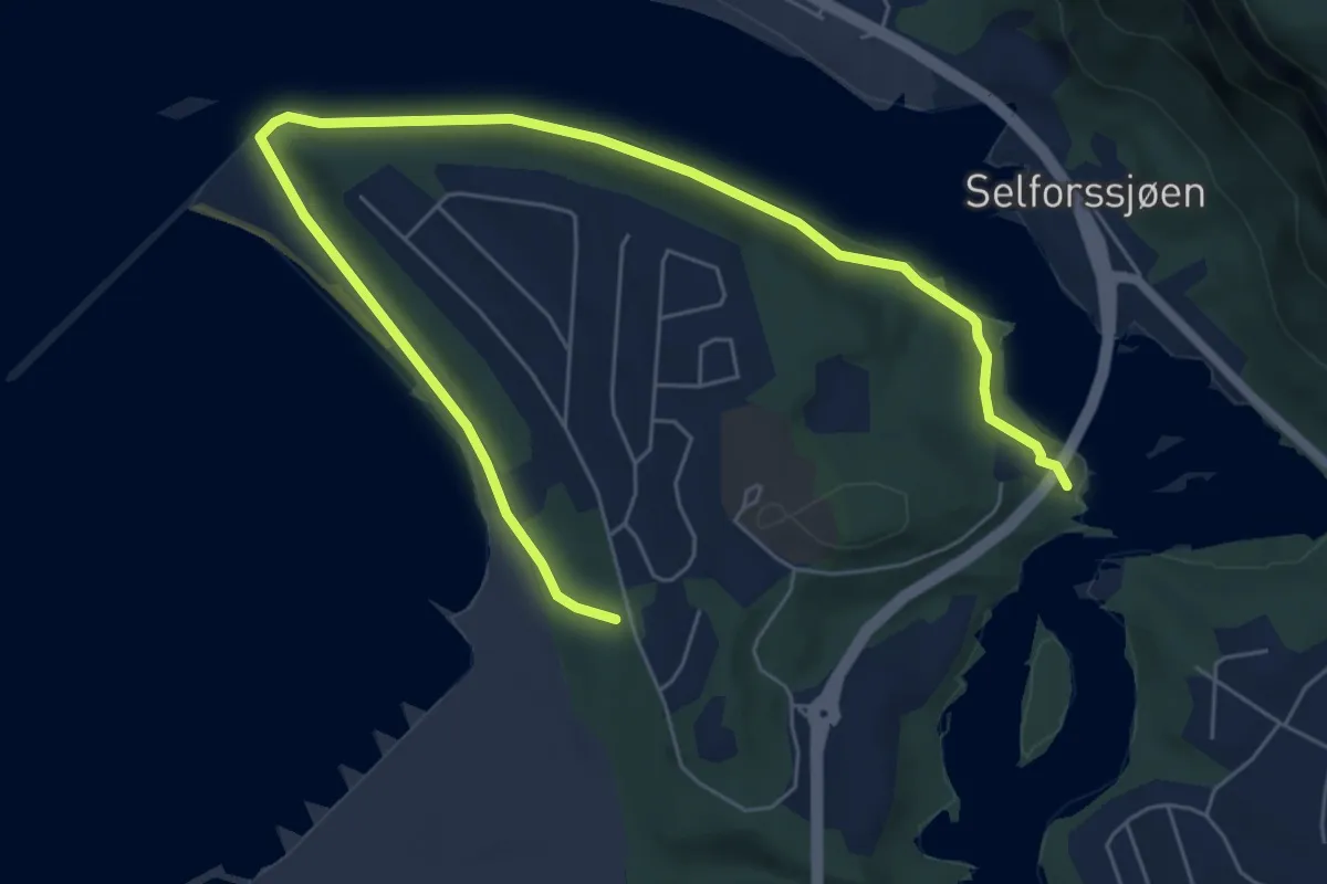
Easy · Trail
Mjølan rundt
4.8 km · ↑ 42 m · 1 h 14 min
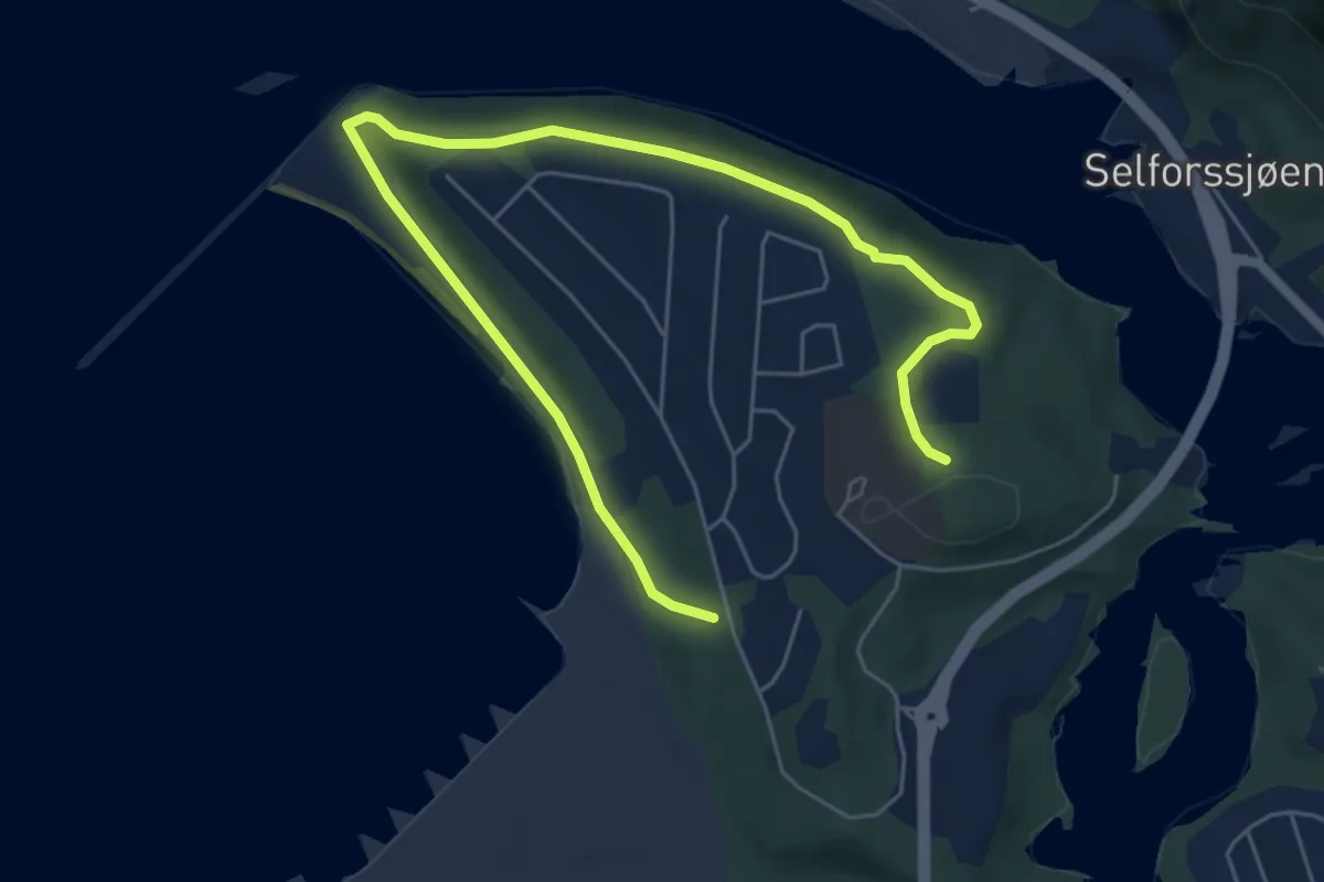
Easy · Trail
Mjølanskogen
4.4 km · ↑ 66 m · 1 h 11 min
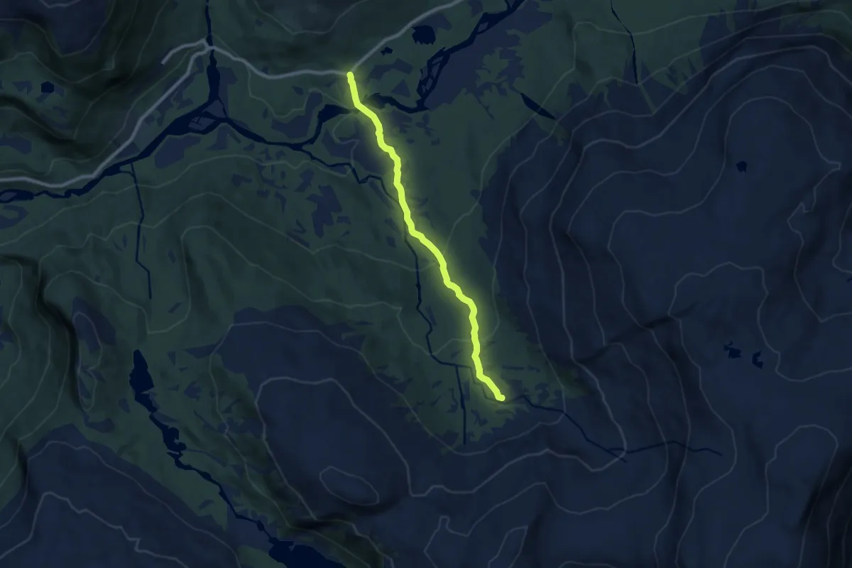
Easy · Trail
Mjølbotnen - Hellene
5.8 km · ↑ 238 m · 1 h 53 min