Trails in Norway
7,452 hiking trails, each with its route, climb, walking time and grade.
All trails, page 64 of 156
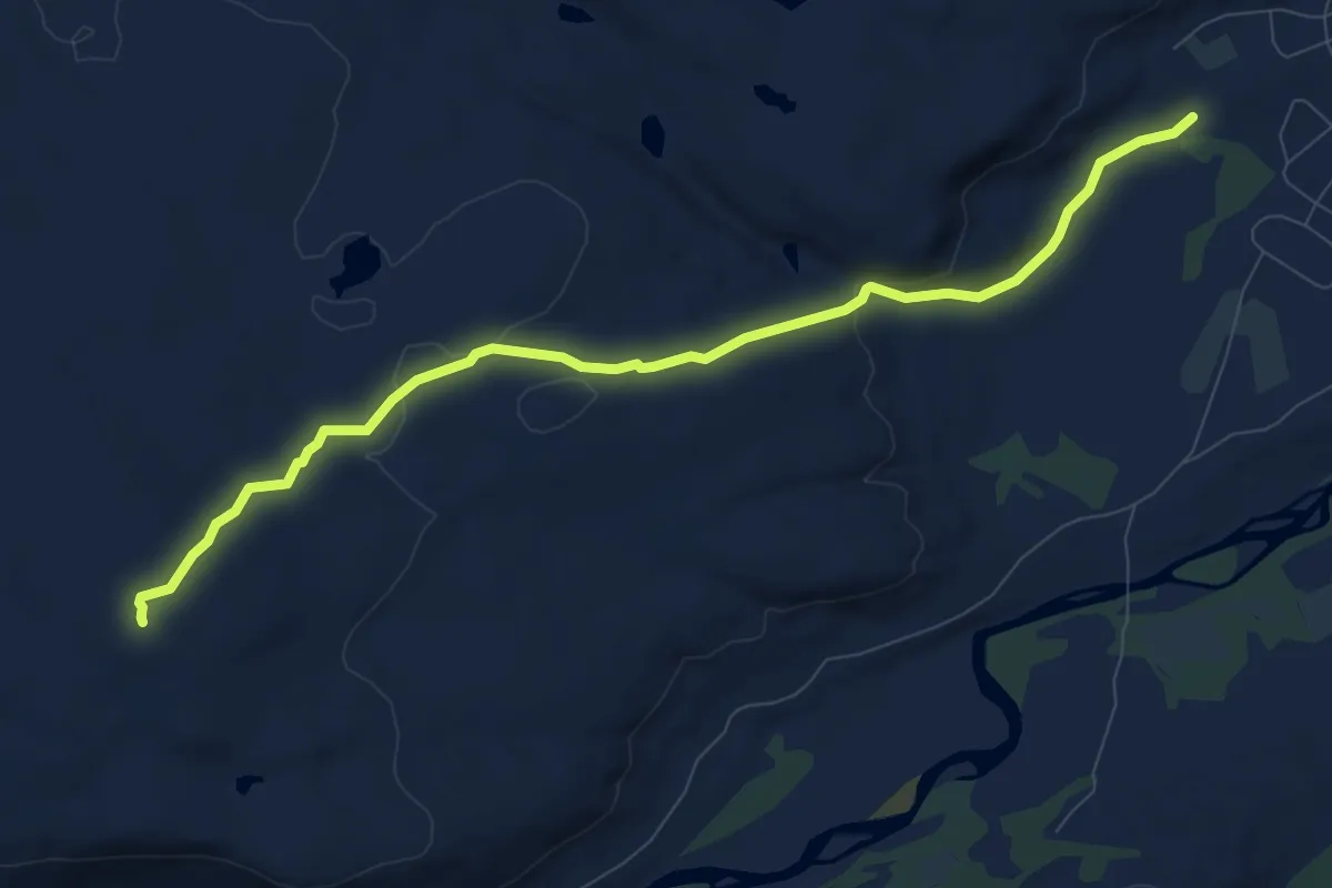
Easy · Trail
Møtevarden - Grønnlihøgda
4.8 km · ↑ 118 m · 1 h 24 min
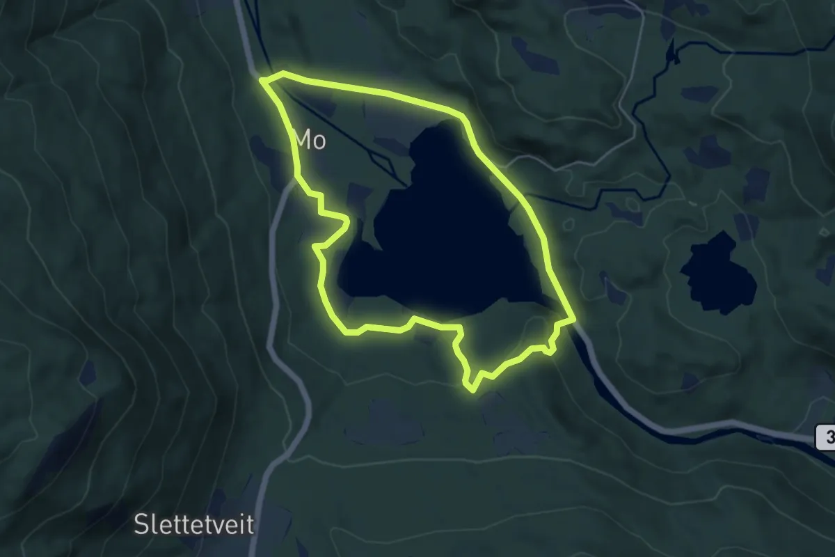
Easy · Trail
Motjønn rundt
6.9 km · ↑ 96 m · 1 h 50 min
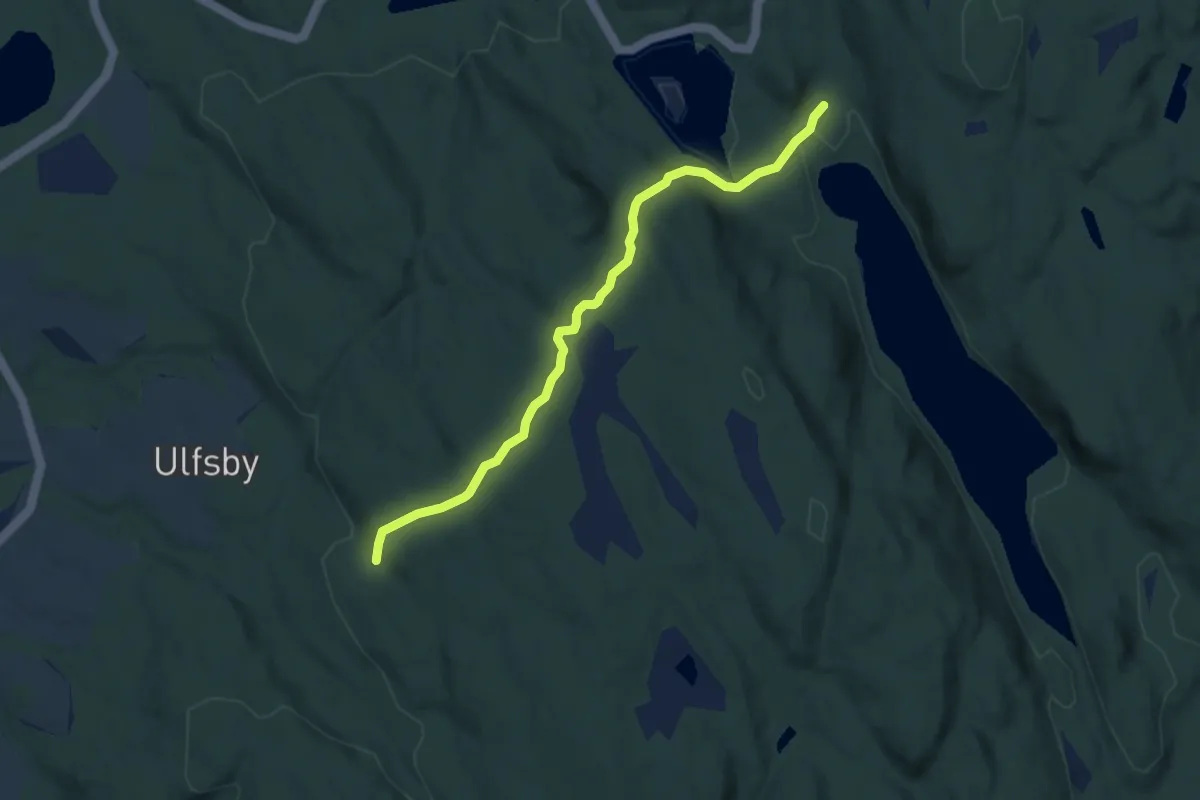
Medium · Trail
Moveien Sør
4.8 km · ↑ 150 m · 1 h 28 min
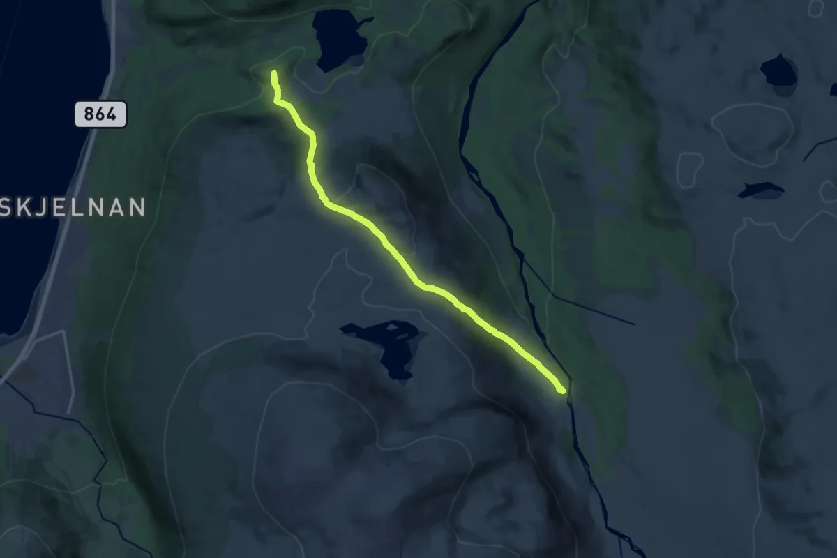
Medium · Summit
Movika-Blåkollen-Blåkollkoia
9.4 km · ↑ 407 m · 3 h 7 min
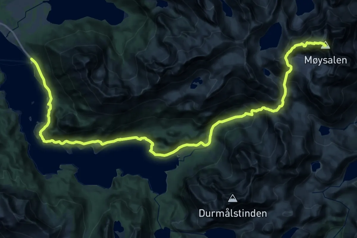
Expert · Summit
Møysalen fra Kaljord
23.5 km · ↑ 1473 m · 8 h 45 min
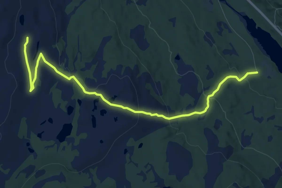
Medium · Trail
Muggruva - Ratvollen
7.8 km · ↑ 226 m · 2 h 19 min
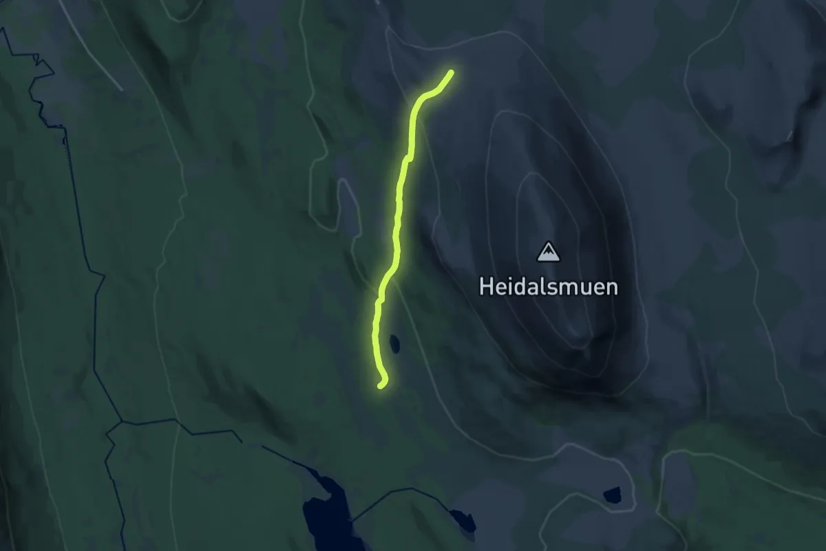
Medium · Trail
Mugsætrin-Muhalsen-Mukampen
9.6 km · ↑ 300 m · 2 h 54 min
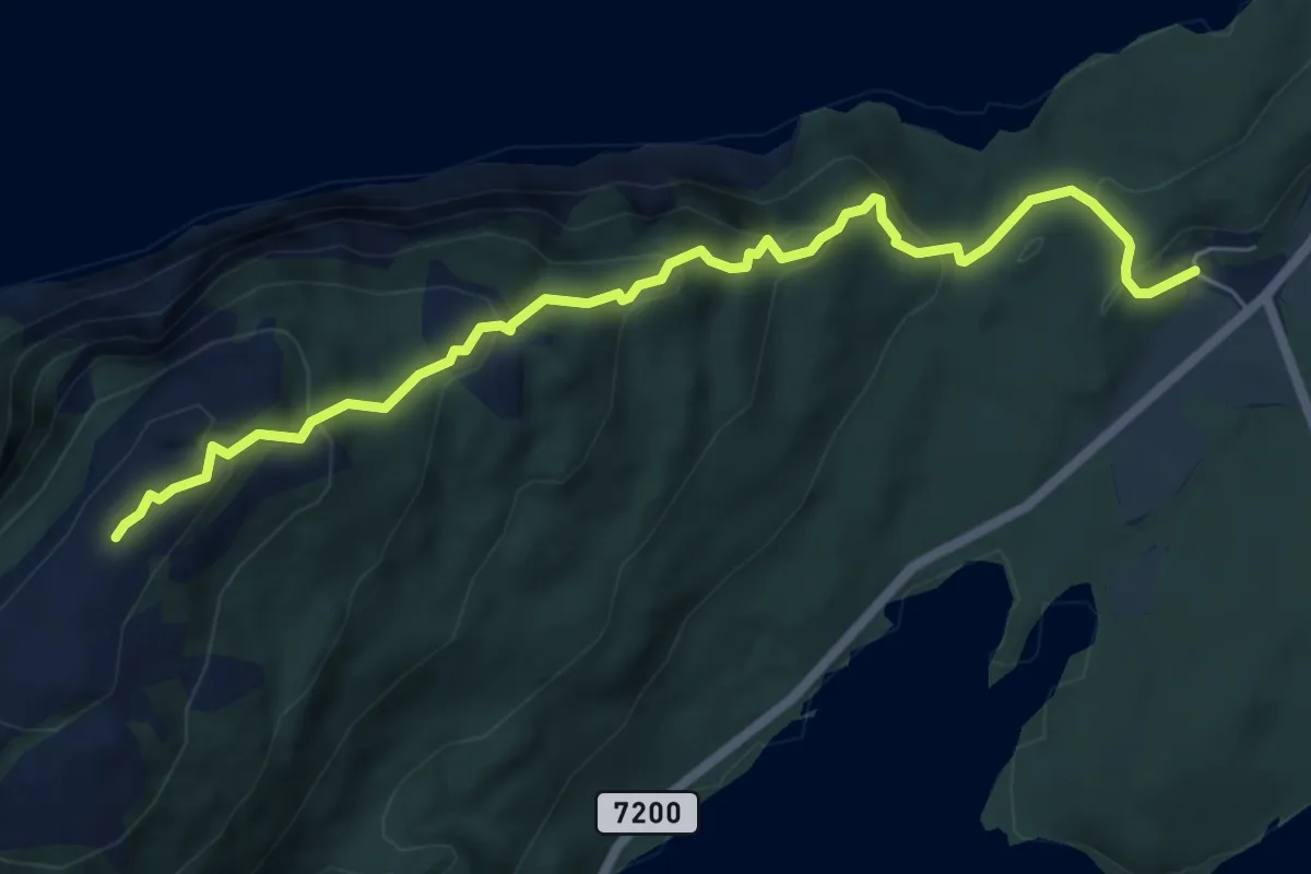
Easy · Trail
Mulingen
4.2 km · ↑ 292 m · 1 h 38 min
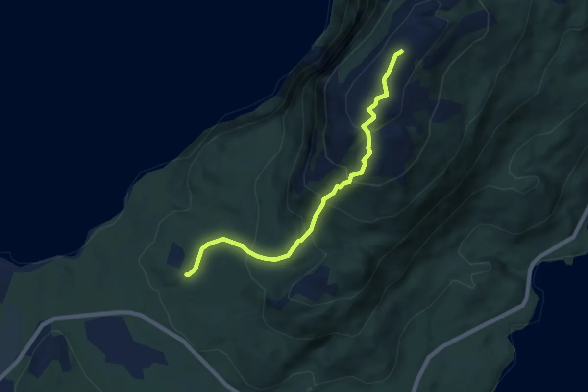
Medium · Trail
Mulingen - fra Vassås
2.9 km · ↑ 246 m · 1 h 13 min
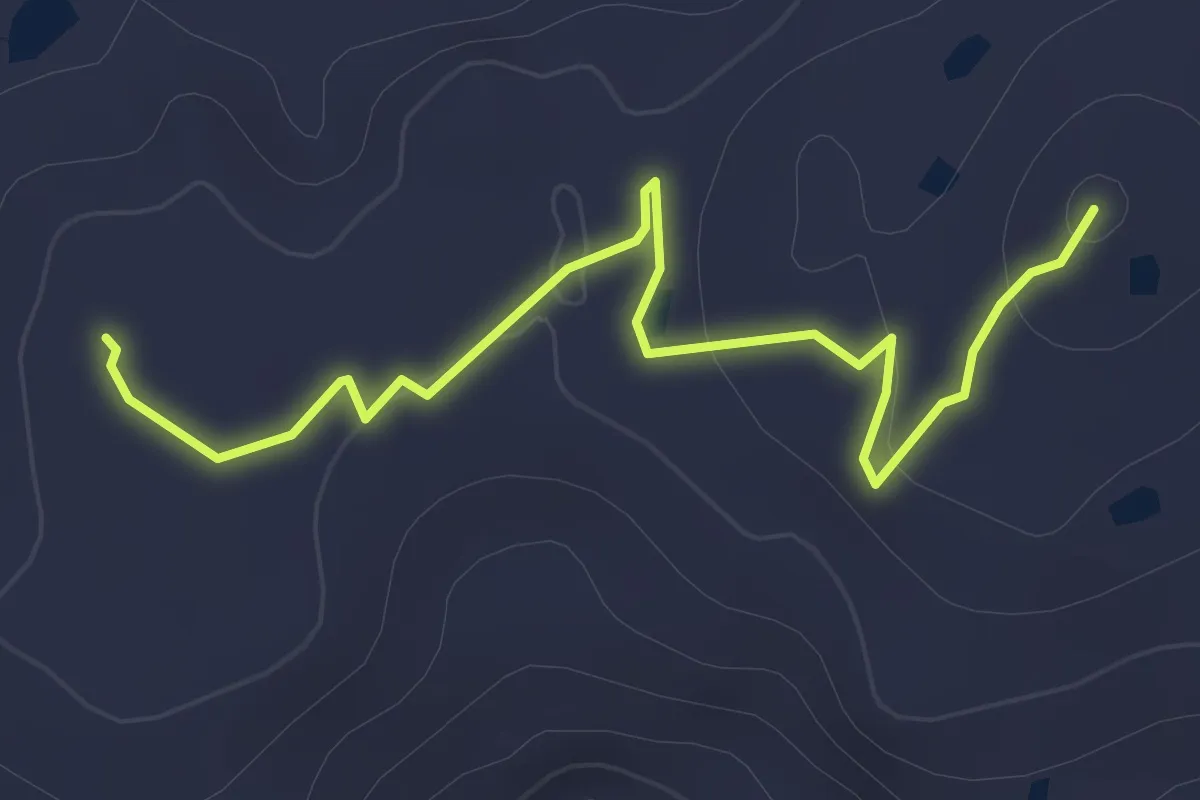
Demanding · Trail
Mullurdfjellet - Blåfjellet
2.0 km · ↑ 32 m · 32 min
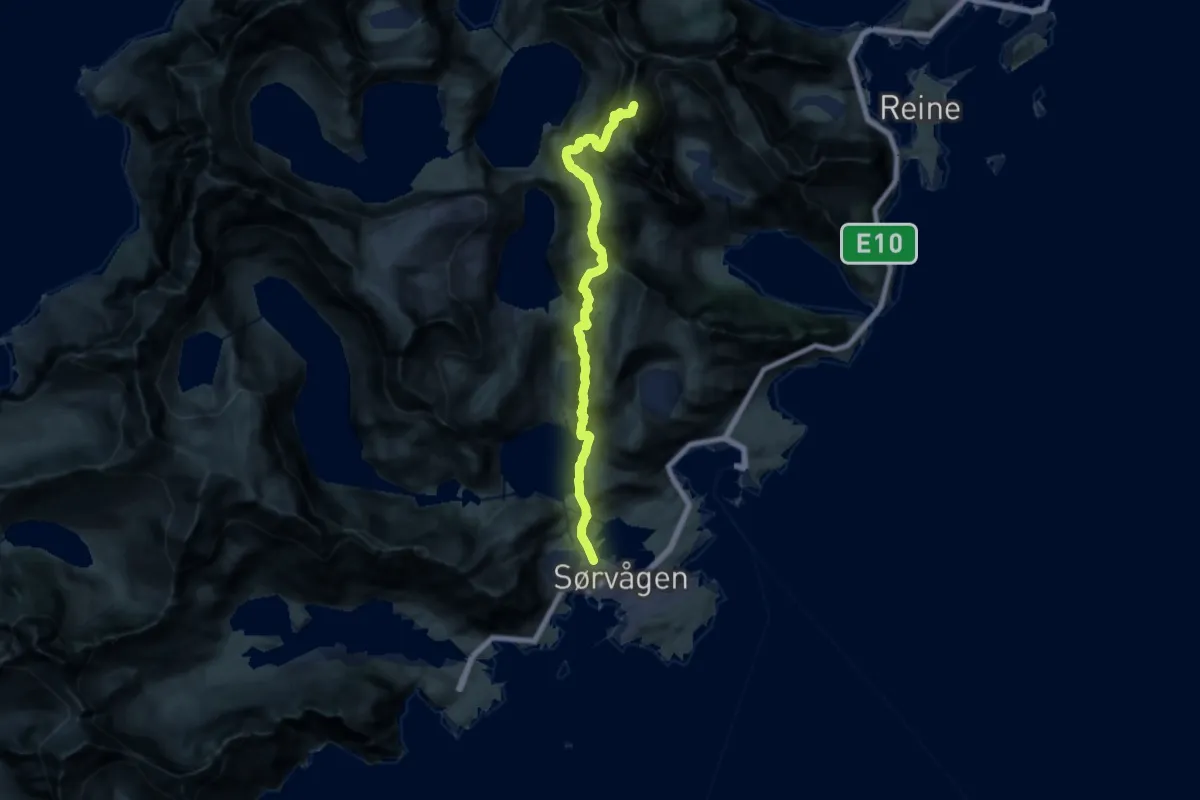
Expert · Summit
Munkebu-stig
12.1 km · ↑ 976 m · 4 h 58 min
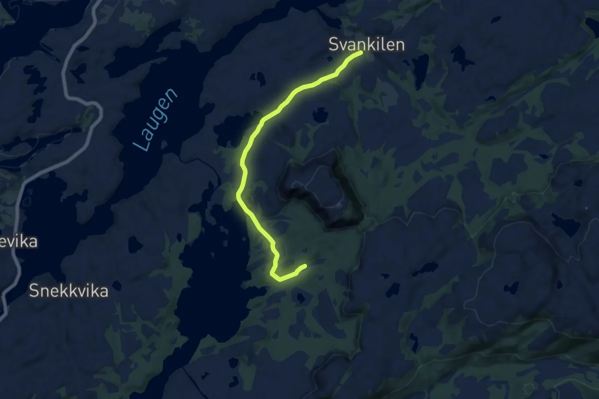
Easy · Trail
Munkedalen
6.9 km · ↑ 102 m · 1 h 50 min
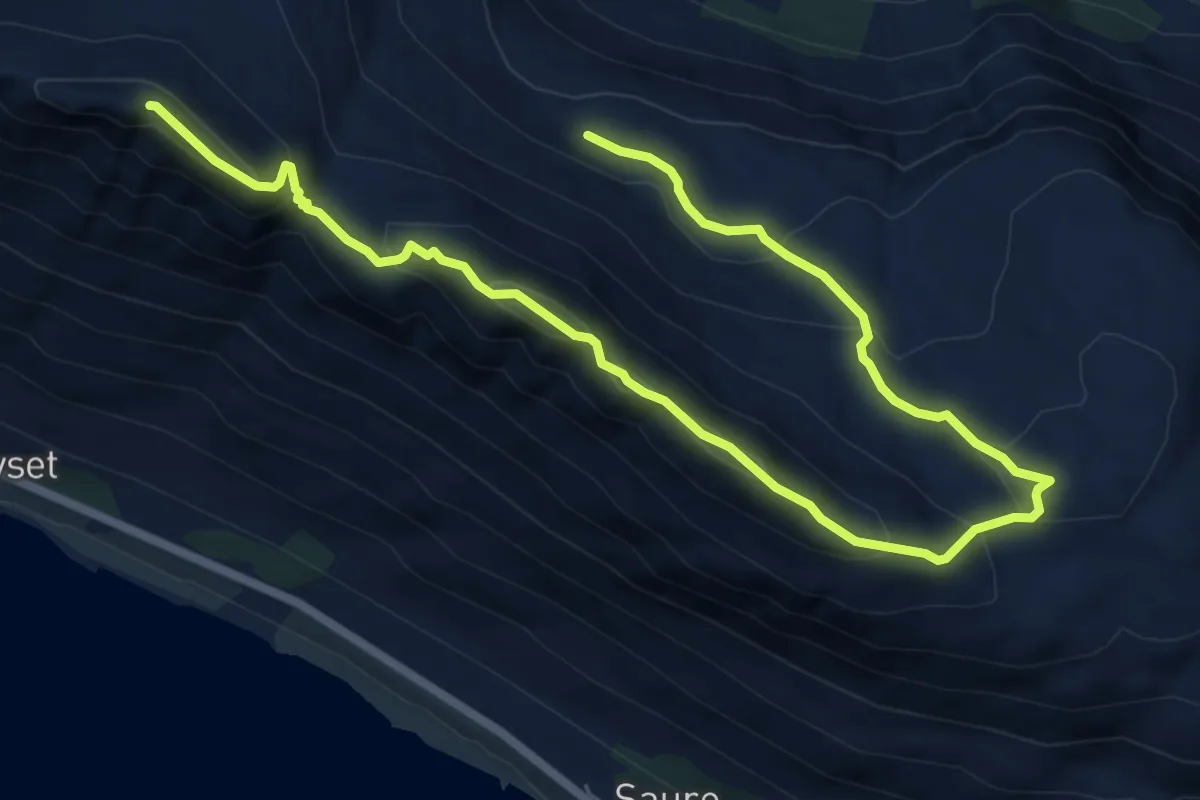
Medium · Trail
Muren - Hanen - Gjøna
6.3 km · ↑ 438 m · 2 h 26 min
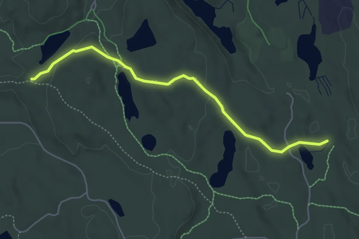
Easy · Trail
Murttjern - Askevann
3.4 km · ↑ 66 m · 57 min
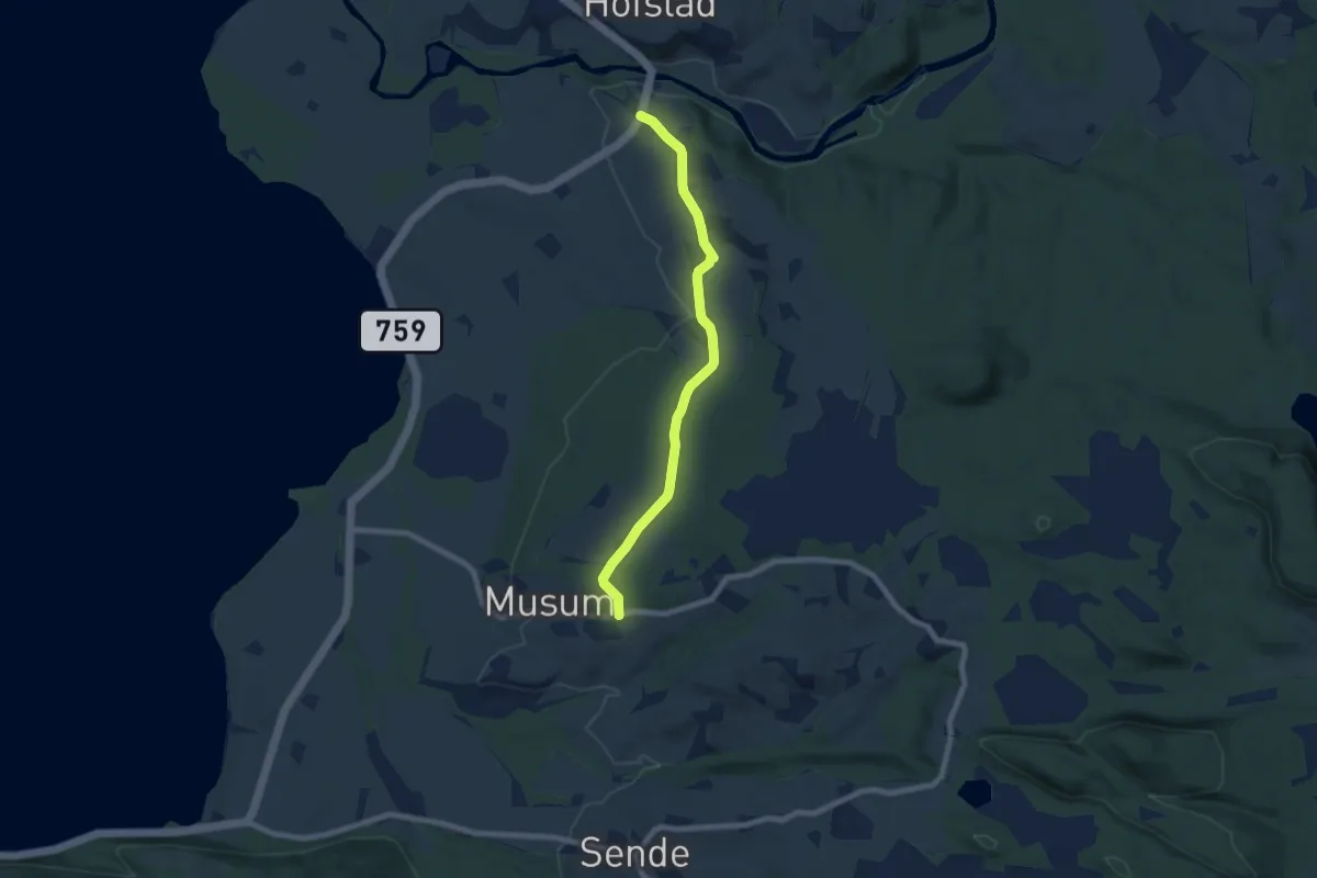
Easy · Trail
Musemsåsen
4.6 km · ↑ 75 m · 1 h 16 min
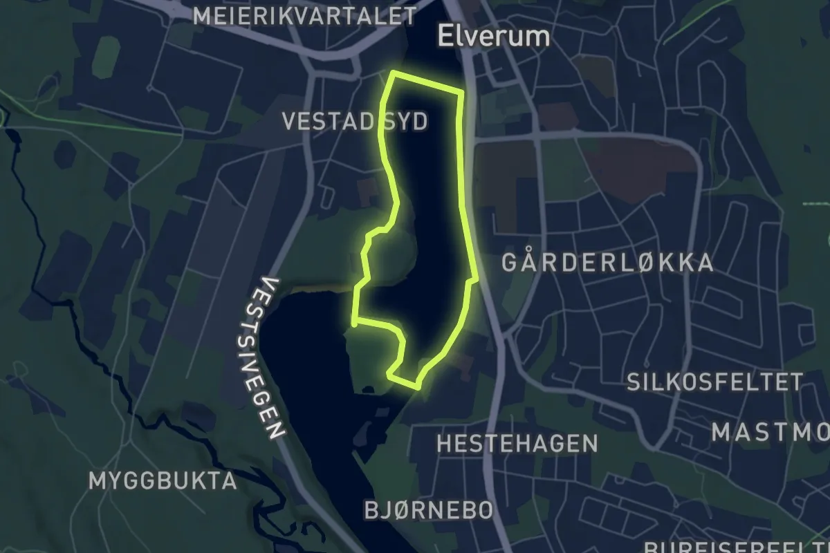
Easy · Trail
Museumsrunden
3.0 km · ↑ 17 m · 48 min
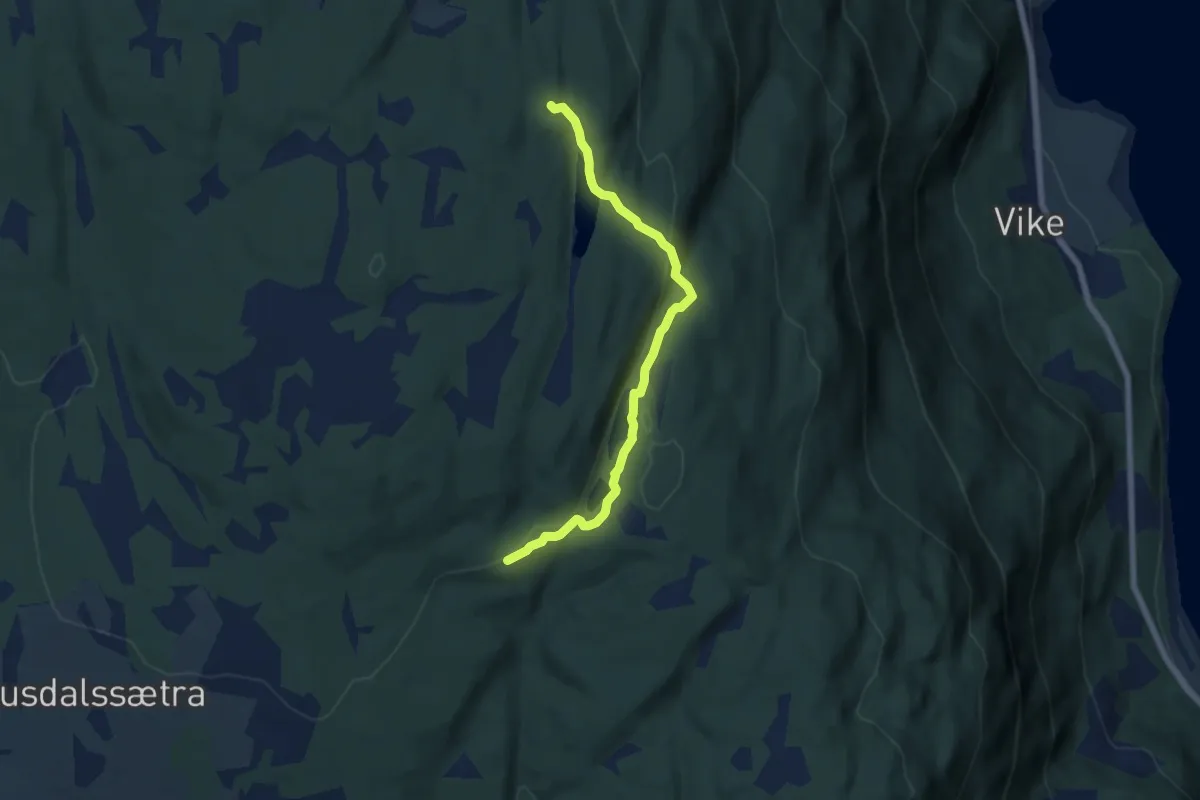
Easy · Trail
Mustjønnet-Kverntjønnet
4.3 km · ↑ 97 m · 1 h 14 min
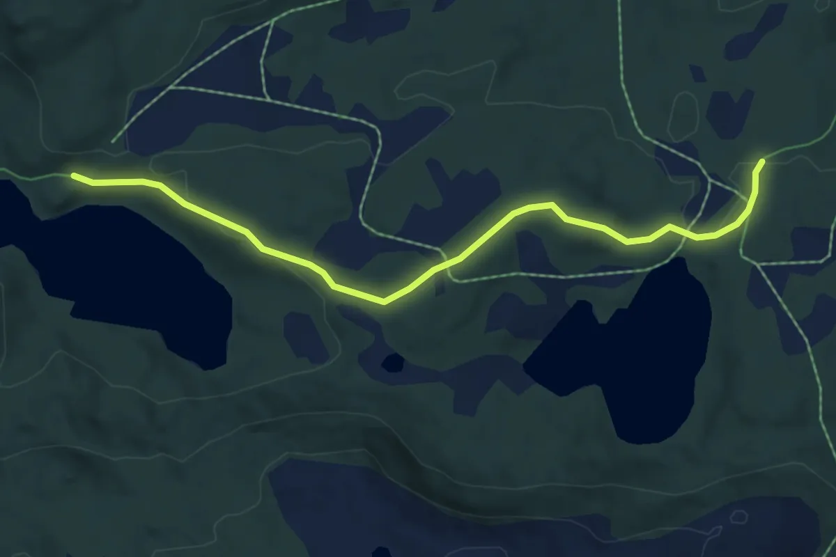
Medium · Trail
Musvatnet - Pevatnet
3.4 km · ↑ 76 m · 57 min
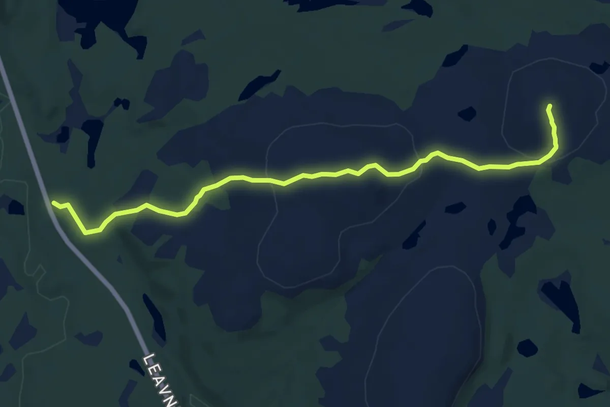
Medium · Trail
Muvraaláš
6.4 km · ↑ 174 m · 1 h 54 min
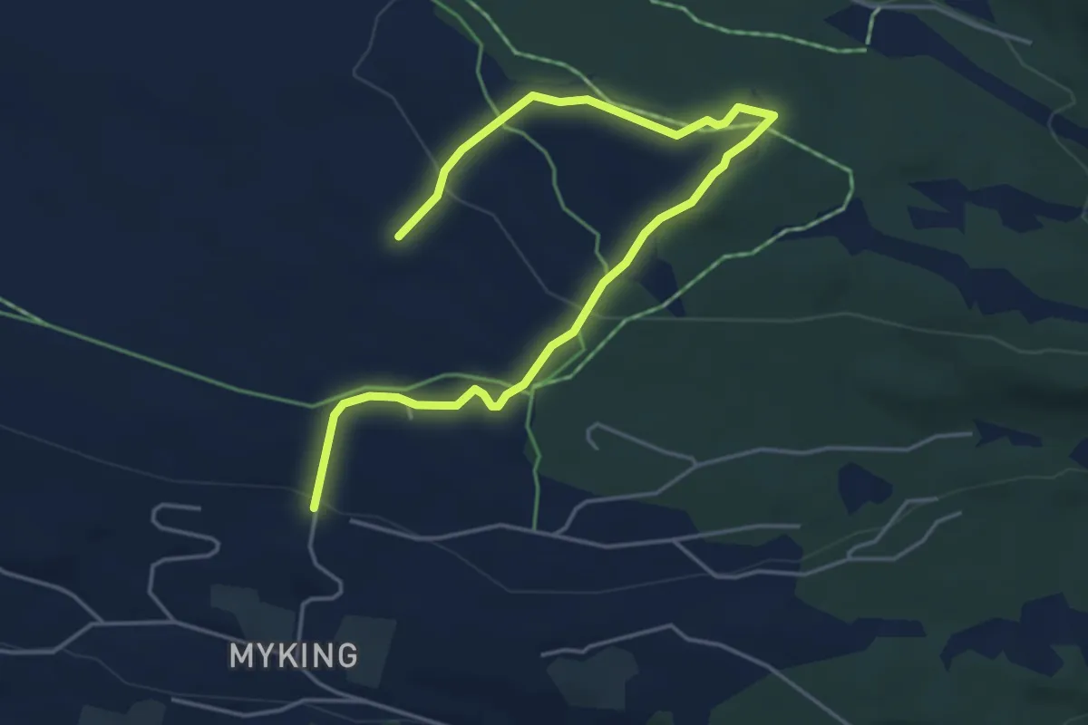
Easy · Cabin
Mykingbrøtet
4.0 km · ↑ 117 m · 1 h 12 min
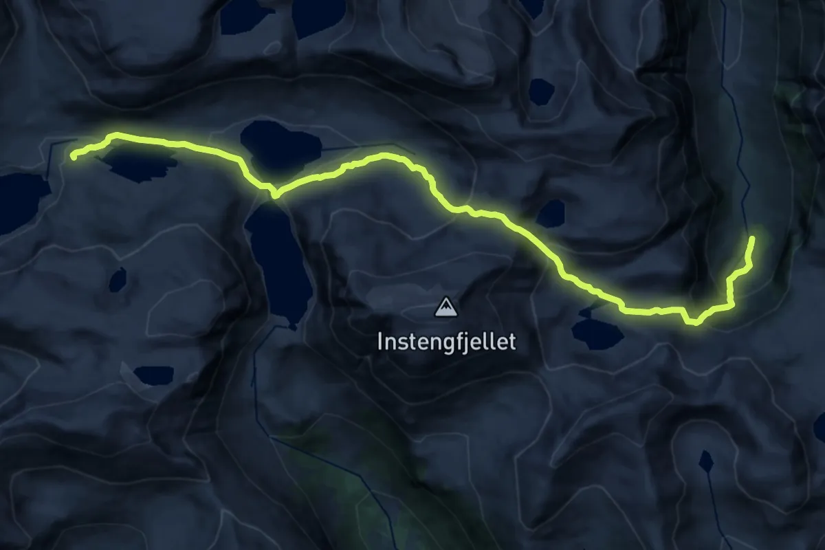
Demanding · Trail
Myklandsstøylen - Longevasshytta
17.3 km · ↑ 1152 m · 6 h 34 min
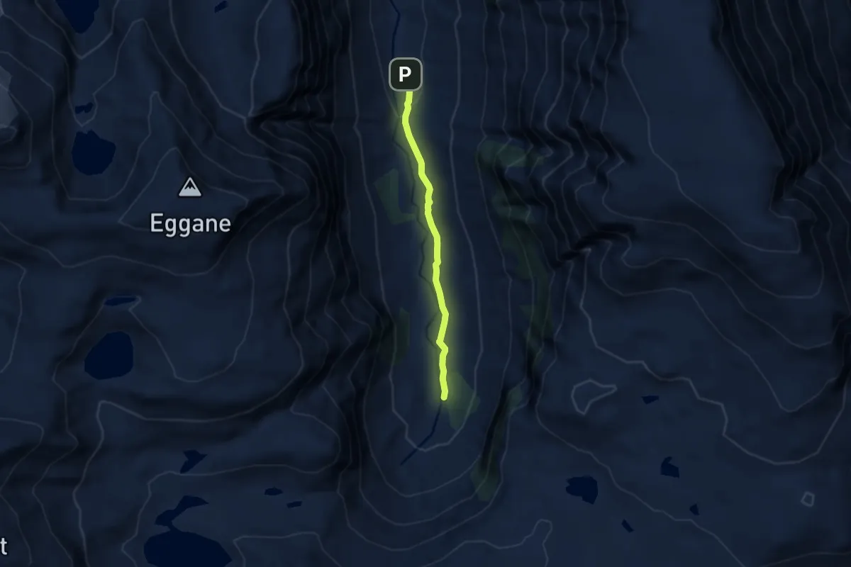
Easy · Trail
Myklandsstøylen - Longevasshytta
4.0 km · ↑ 69 m · 1 h 6 min
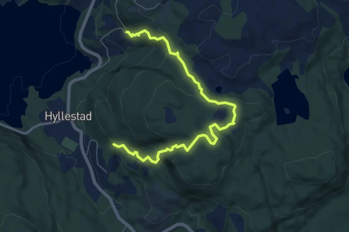
Easy · Trail
Myklebustfeltet-Sæsol/Hyllestad
5.0 km · ↑ 280 m · 1 h 47 min
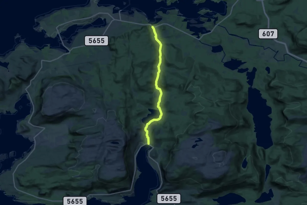
Medium · Trail
Myklebust-Håskaret-Fjaler
9.1 km · ↑ 209 m · 2 h 35 min
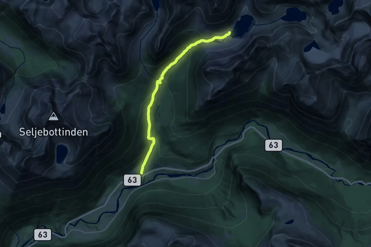
Medium · Trail
Myklebustsætra - Brekkå/Brekkevatnet
13.8 km · ↑ 683 m · 4 h 44 min
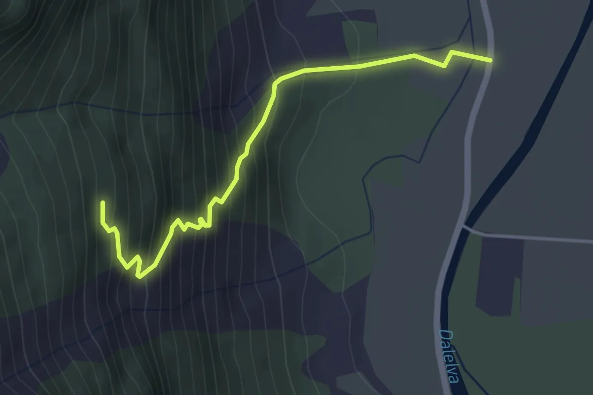
Medium · Trail
Myklebustsetra
2.8 km · ↑ 323 m · 1 h 21 min
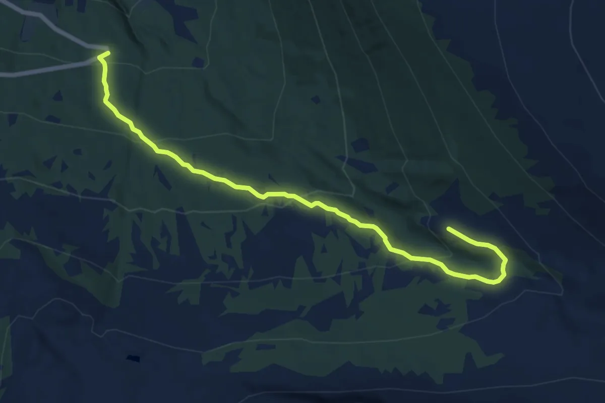
Medium · Trail
Myklebuststøylen
7.9 km · ↑ 443 m · 2 h 49 min
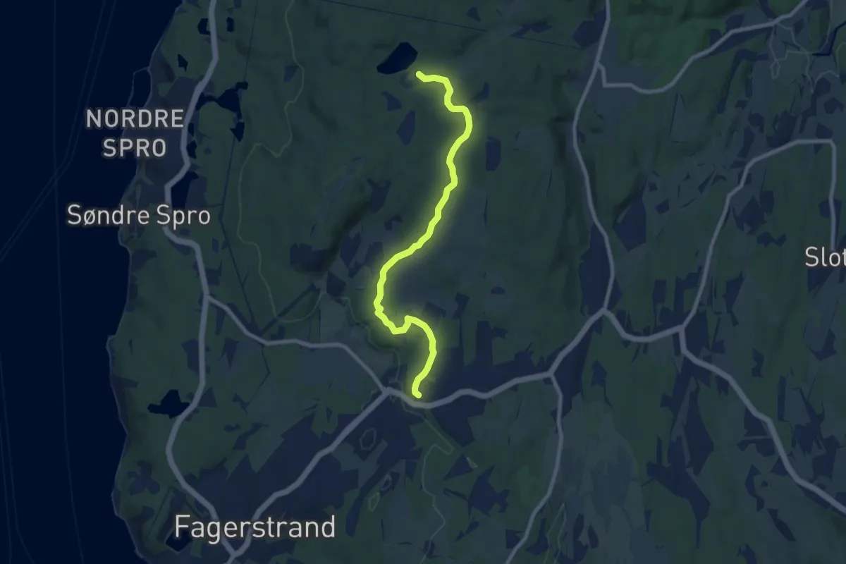
Easy · Trail
Myklerudbanen - Tjernsbråten
6.0 km · ↑ 60 m · 1 h 33 min
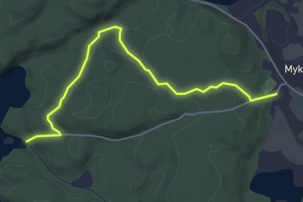
Medium · Trail
Myklestad - Hårstøa
3.0 km · ↑ 98 m · 56 min
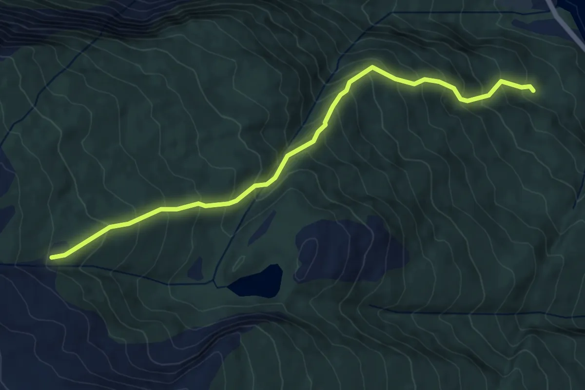
Medium · Trail
Myklevollkollen blå løype
2.8 km · ↑ 363 m · 1 h 26 min
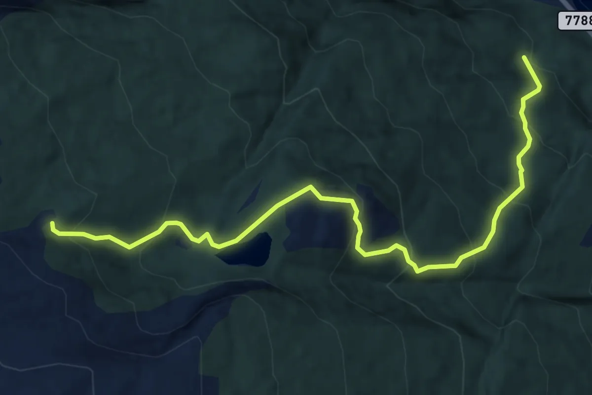
Demanding · Trail
Myklevollkollen rød løype
3.7 km · ↑ 365 m · 1 h 40 min
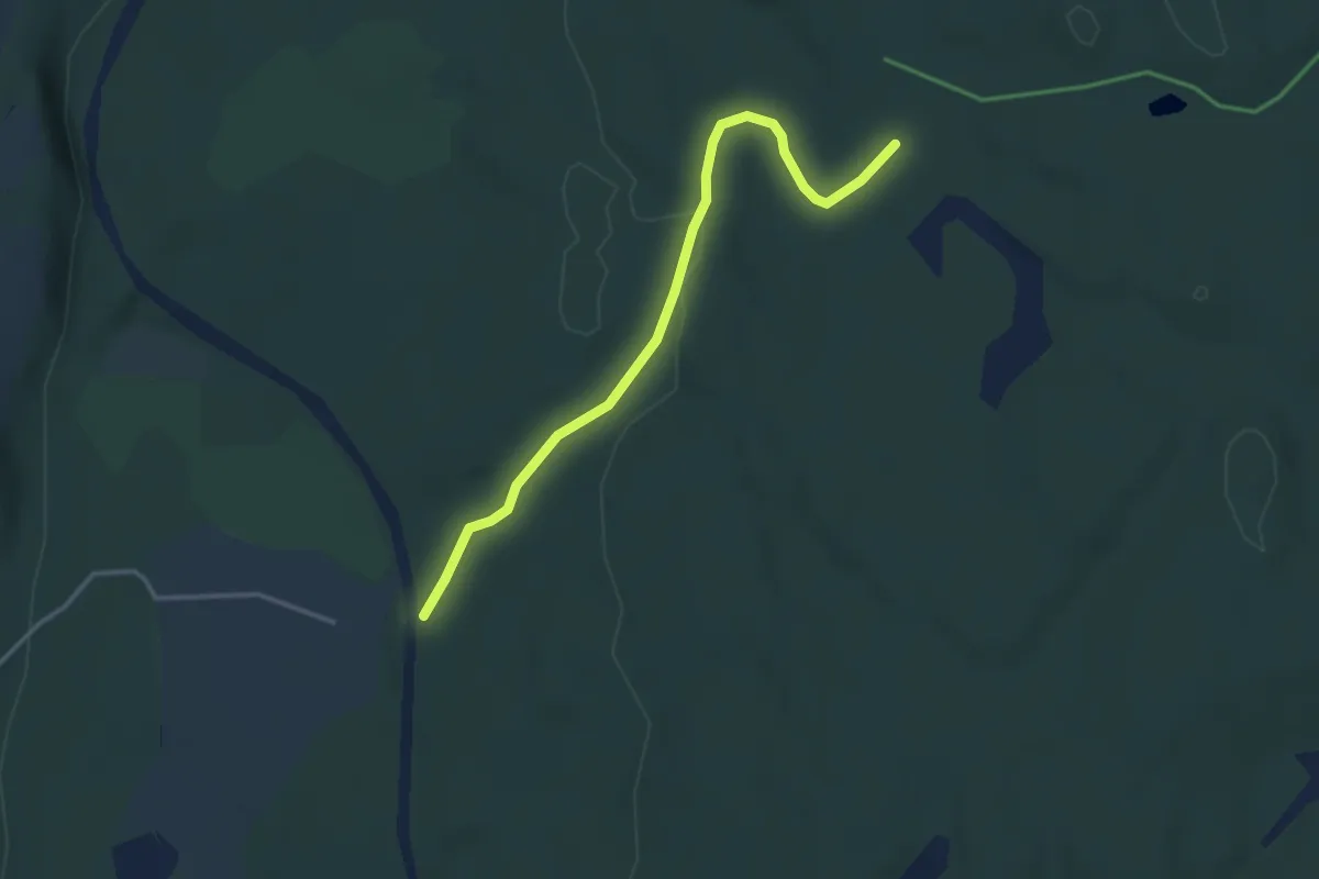
Easy · Trail
Myrane-Bjørnlia
2.6 km · ↑ 53 m · 44 min
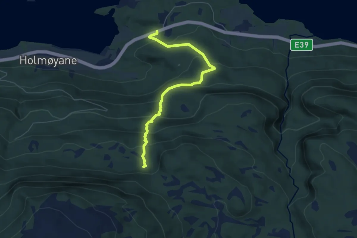
Easy · Trail
Myrane-Hellestiskaret
3.9 km · ↑ 300 m · 1 h 35 min
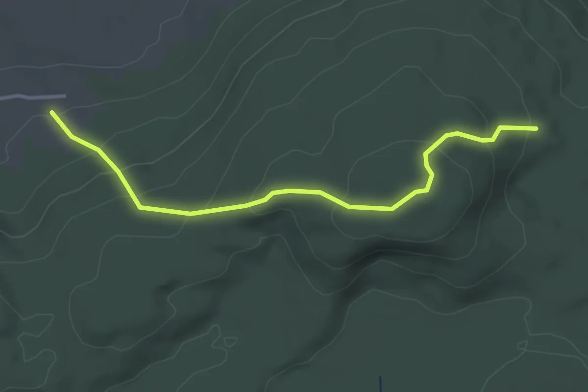
Easy · Trail
Myråsen
2.5 km · ↑ 186 m · 59 min
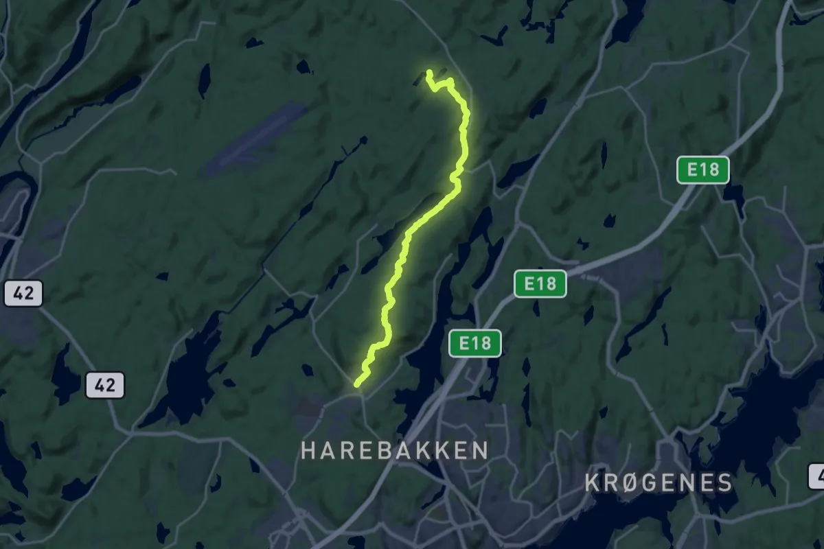
Medium · Trail
Myra skole - Granestua
13.0 km · ↑ 216 m · 3 h 33 min
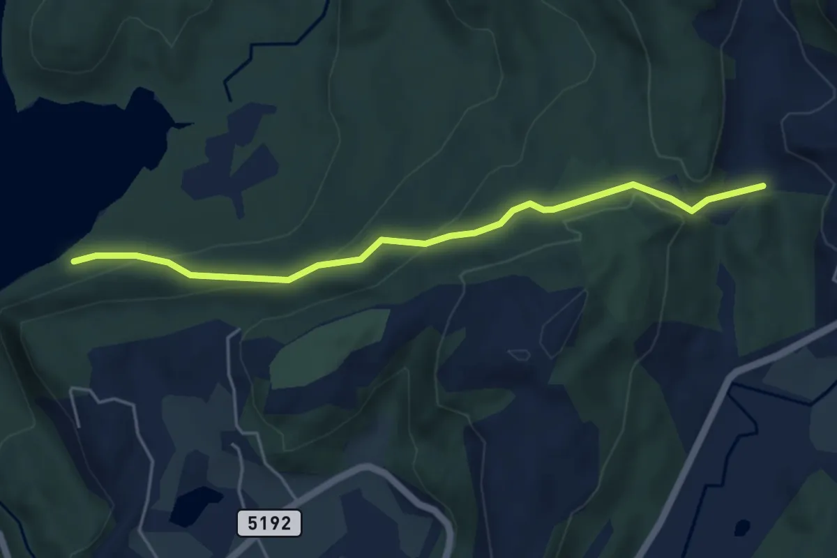
Easy · Trail
Myravatnet til Nedre Totland
3.3 km · ↑ 184 m · 1 h 11 min
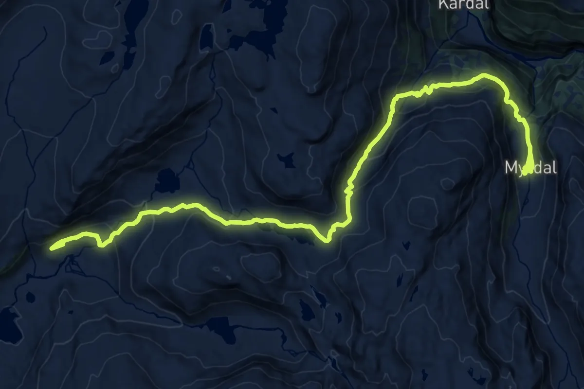
Demanding · Cabin
Myrdal - Upsete
20.6 km · ↑ 920 m · 6 h 52 min
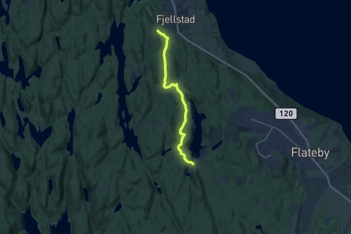
Medium · Trail
Myrdammen-Gjeddevann-Sstreifinn
8.3 km · ↑ 171 m · 2 h 20 min
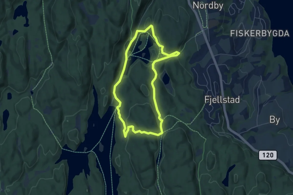
Easy · Trail
Myrdammen/Nordby natursti
3.9 km · ↑ 83 m · 1 h 9 min
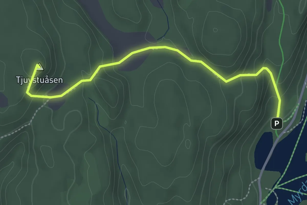
Easy · Summit
Myrdammen - Tjuvstuåsen
2.2 km · ↑ 130 m · 47 min
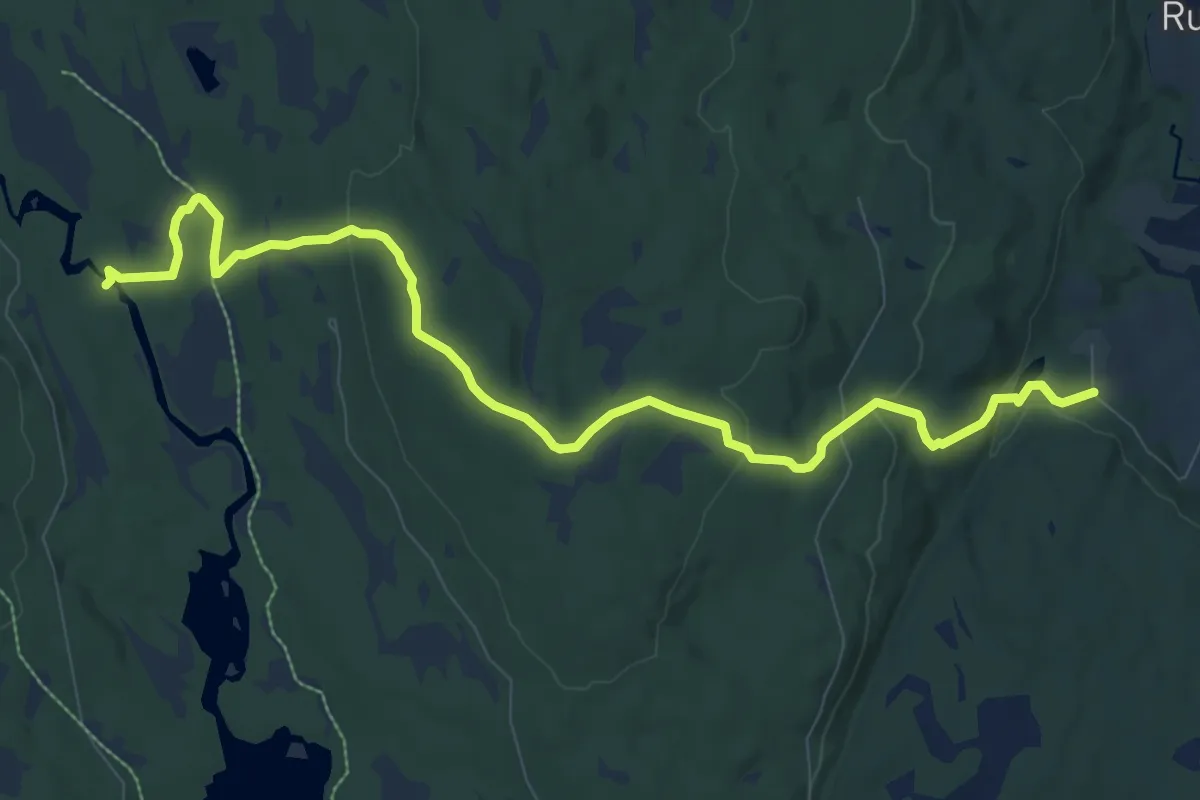
Easy · Trail
Myrgruvefossen
7.8 km · ↑ 209 m · 2 h 18 min
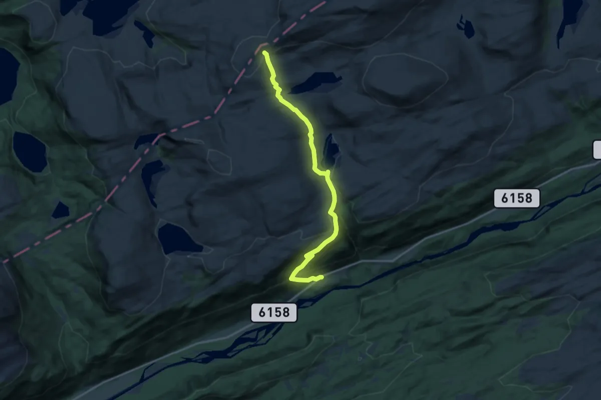
Medium · Trail
Myrholten - Hardbakkhytta
9.5 km · ↑ 471 m · 3 h 15 min
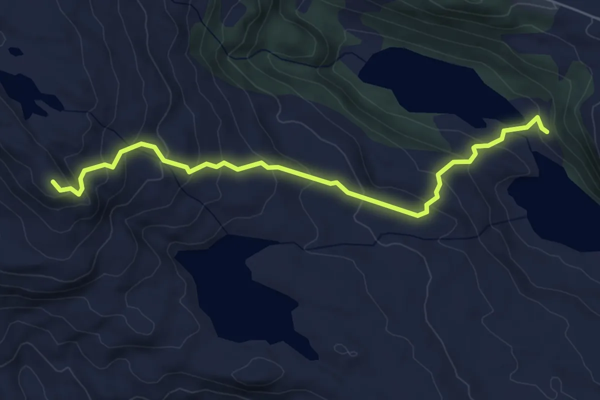
Easy · Trail
Myrketjørnbotnen-Hesjetind
3.8 km · ↑ 279 m · 1 h 30 min
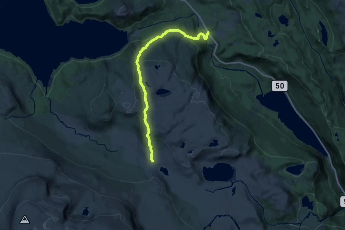
Medium · Trail
Myrland - Naustranden
15.0 km · ↑ 656 m · 4 h 58 min
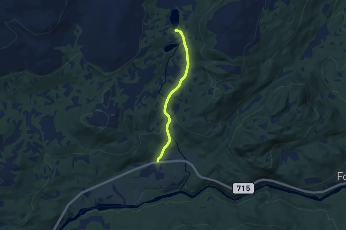
Medium · Trail
Myrmoen - Kalnestjønna
4.0 km · ↑ 112 m · 1 h 11 min
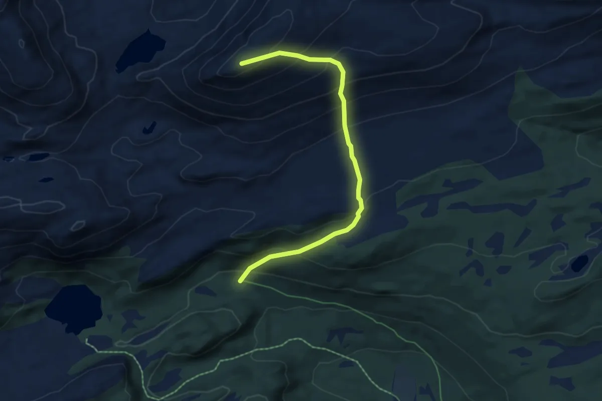
Medium · Trail
Myrsethornet
3.9 km · ↑ 426 m · 1 h 50 min
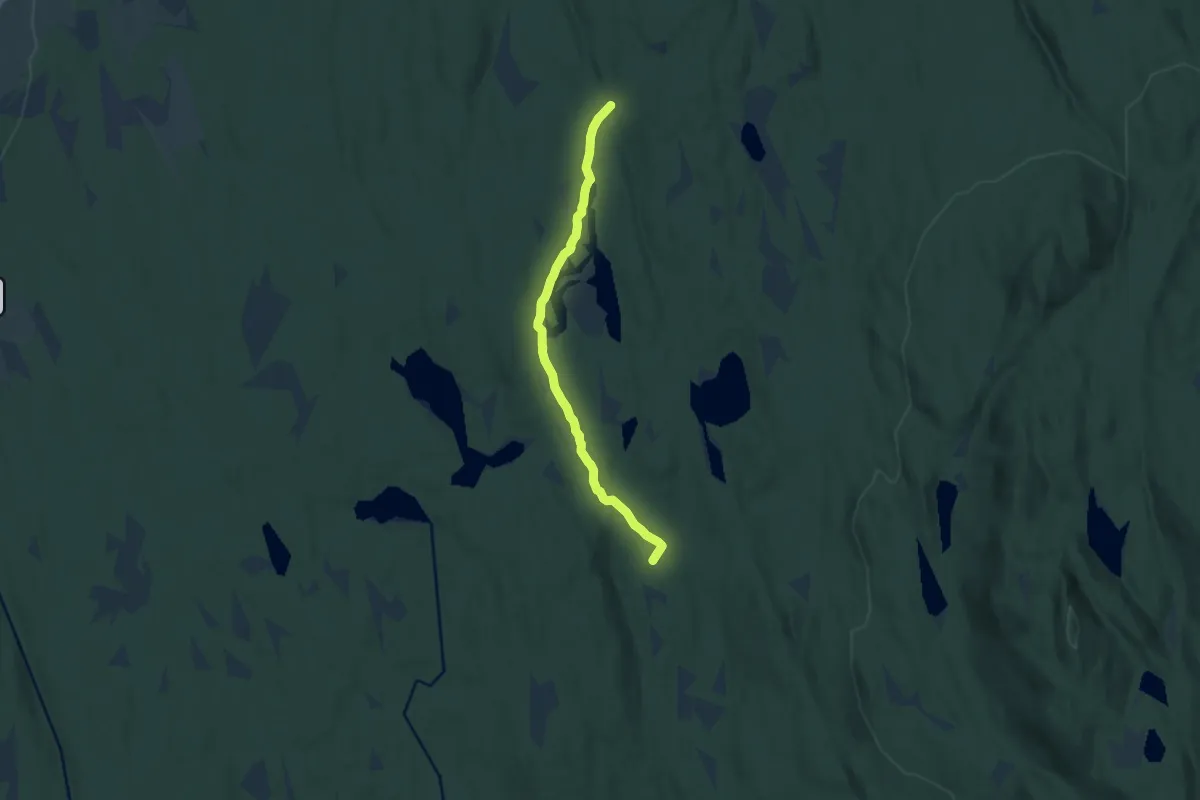
Medium · Cabin
Myrsjøen - Vesterås
7.0 km · ↑ 36 m · 1 h 44 min
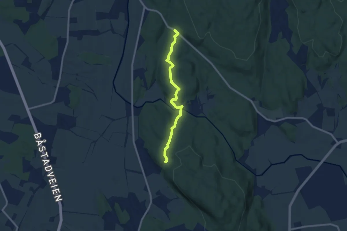
Easy · Trail
Myrvold -Brattås
4.2 km · ↑ 71 m · 1 h 9 min