Trails in Norway
7,452 hiking trails, each with its route, climb, walking time and grade.
All trails, page 88 of 156
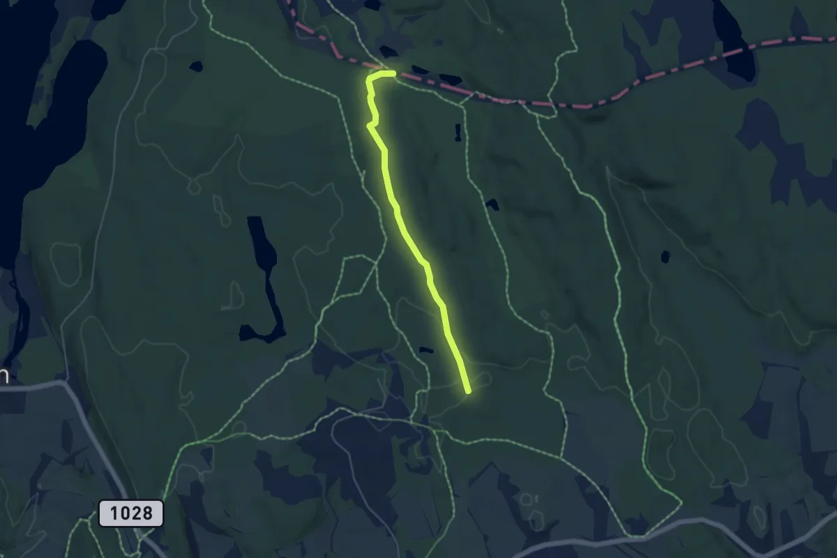
Easy · Trail
Skimtefjell
3.1 km · ↑ 33 m · 49 min
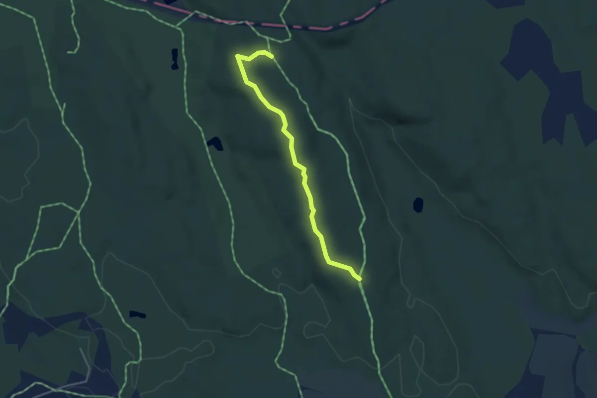
Easy · Trail
Skimtefjell
2.3 km · ↑ 28 m · 36 min
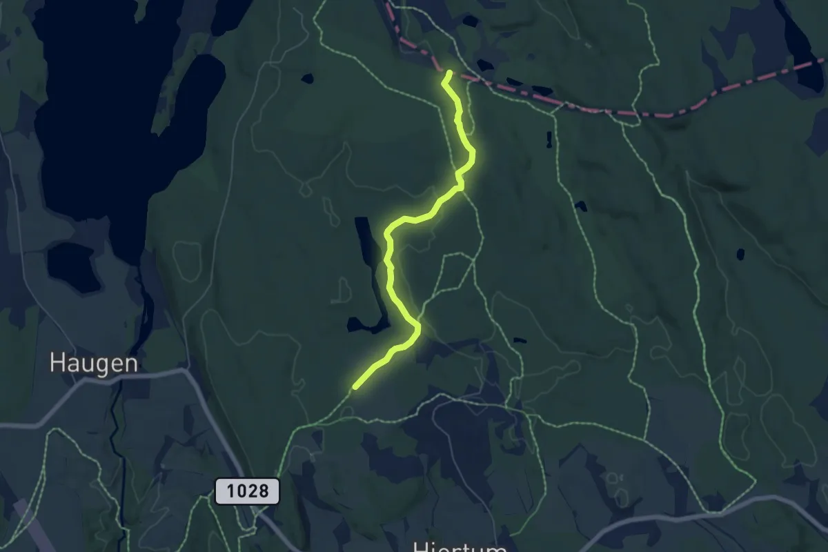
Easy · Trail
Skimtefjell
3.9 km · ↑ 34 m · 1 h
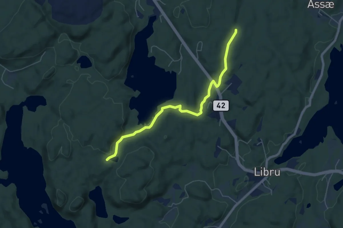
Easy · Trail
Skinnaren - Svarttjenn
4.1 km · ↑ 42 m · 1 h 4 min
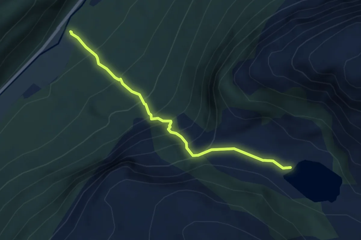
Medium · Trail
Skipedalsråsa
3.2 km · ↑ 408 m · 1 h 38 min
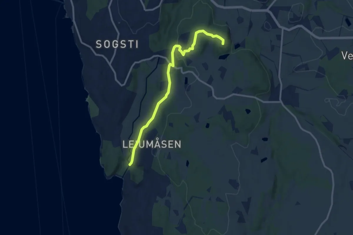
Easy · Trail
Skiphelle - Skanseåsen bygdeborg
6.2 km · ↑ 149 m · 1 h 47 min
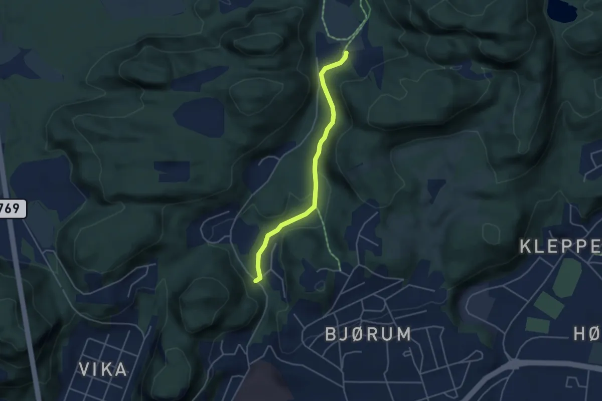
Easy · Trail
Skisenteret-Granheim
2.3 km · ↑ 45 m · 39 min
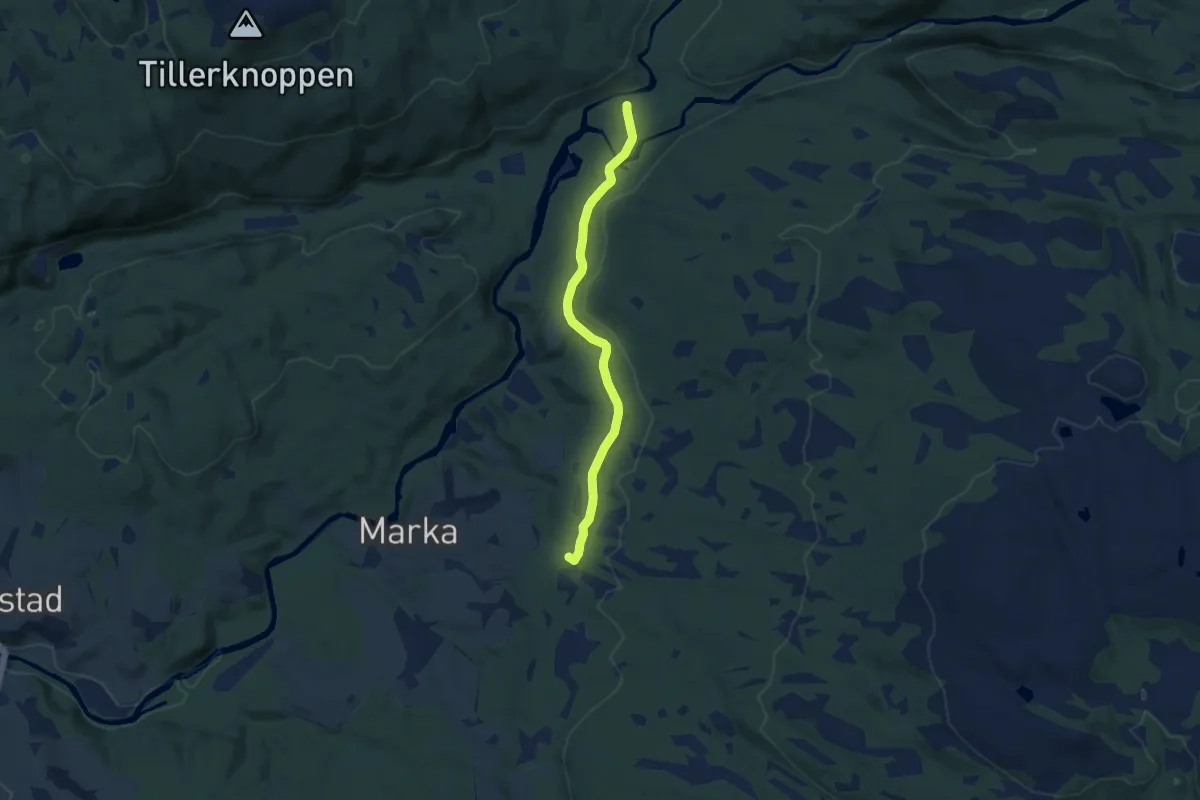
Easy · Trail
Skistadion-Hallemsvollen
5.2 km · ↑ 18 m · 1 h 17 min
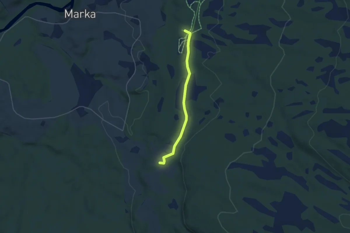
Easy · Trail
Skistadion-Sætran
2.3 km · ↑ 9 m · 34 min
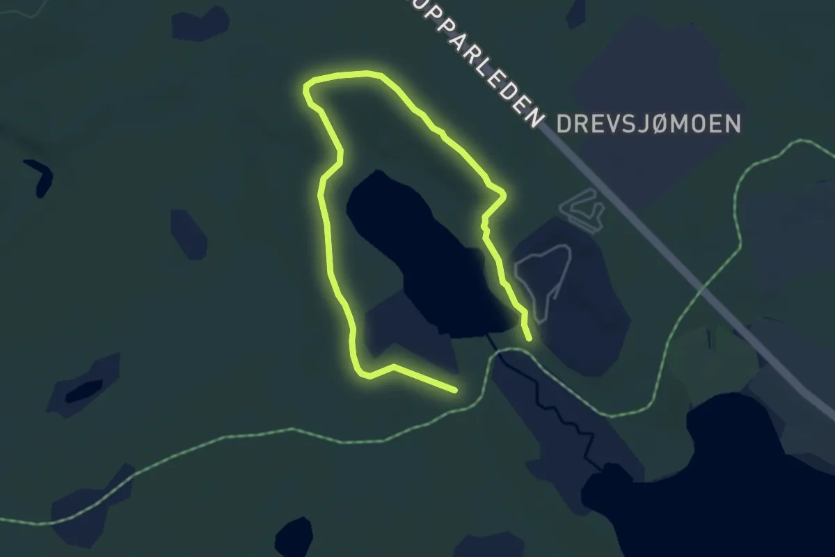
Easy · Trail
Skitjønnarunden
4.3 km · ↑ 28 m · 1 h 4 min
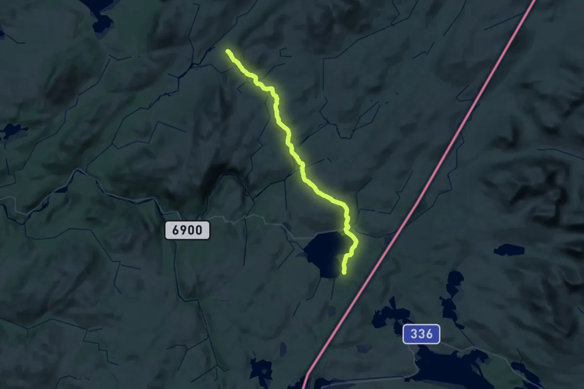
Demanding · Cabin
Skjækerdalshytta-Veresvatnet
20.3 km · ↑ 464 m · 6 h 4 min
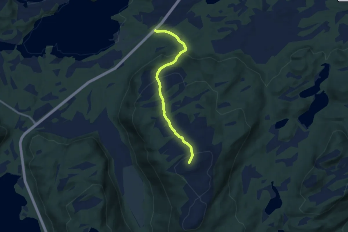
Easy · Trail
Skjæret-Breilivarden
4.2 km · ↑ 292 m · 1 h 38 min
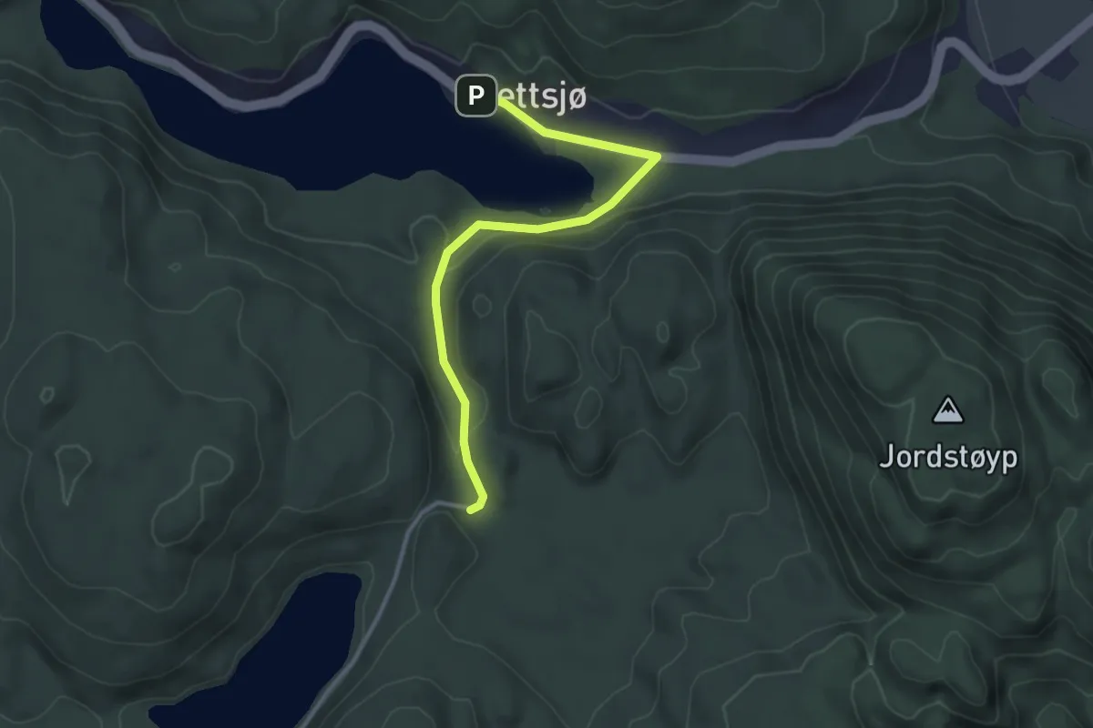
Medium · Trail
Skjærsjø
2.4 km · ↑ 53 m · 40 min
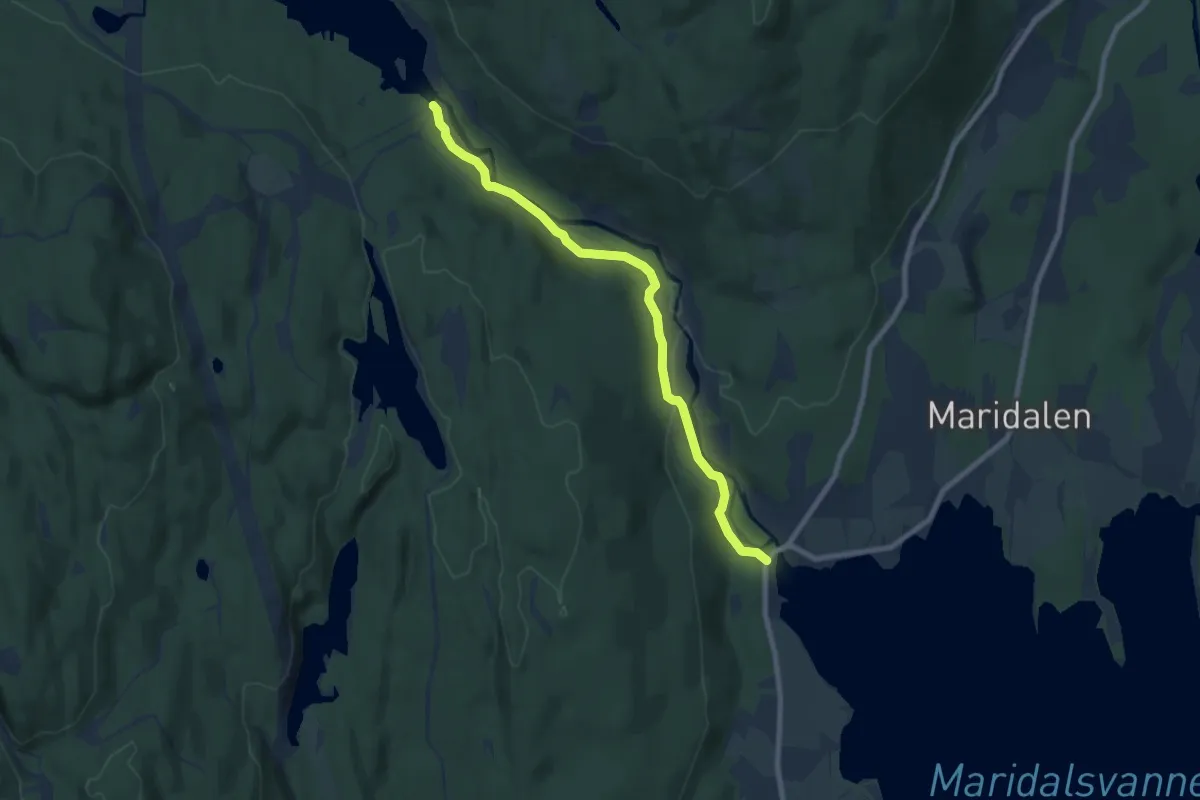
Easy · Trail
Skjærsjøelva kulturminnesti
5.8 km · ↑ 107 m · 1 h 35 min
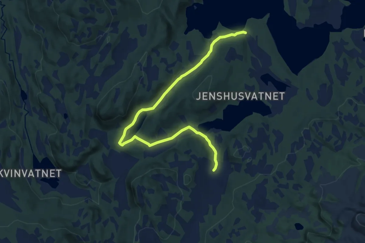
Easy · Trail
Skjærsjøen
8.7 km · ↑ 108 m · 2 h 17 min
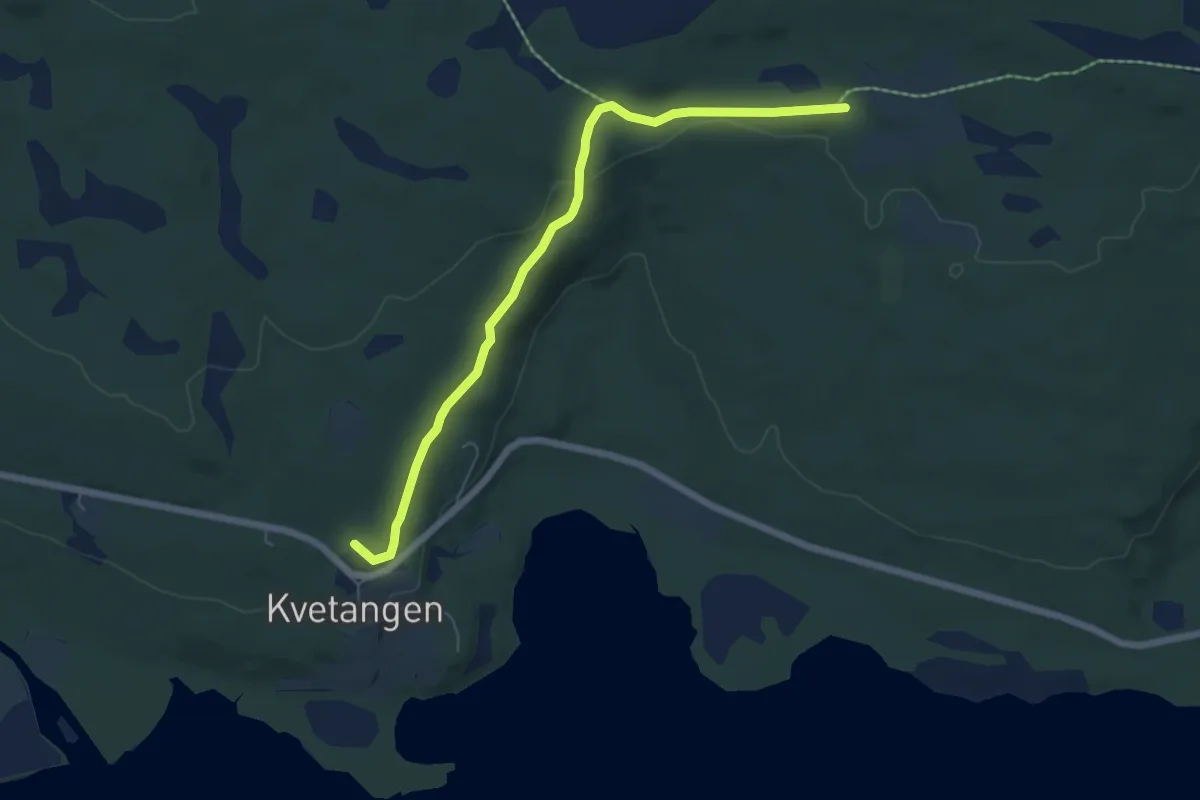
Easy · Trail
Skjærvikveien
3.9 km · ↑ 71 m · 1 h 5 min
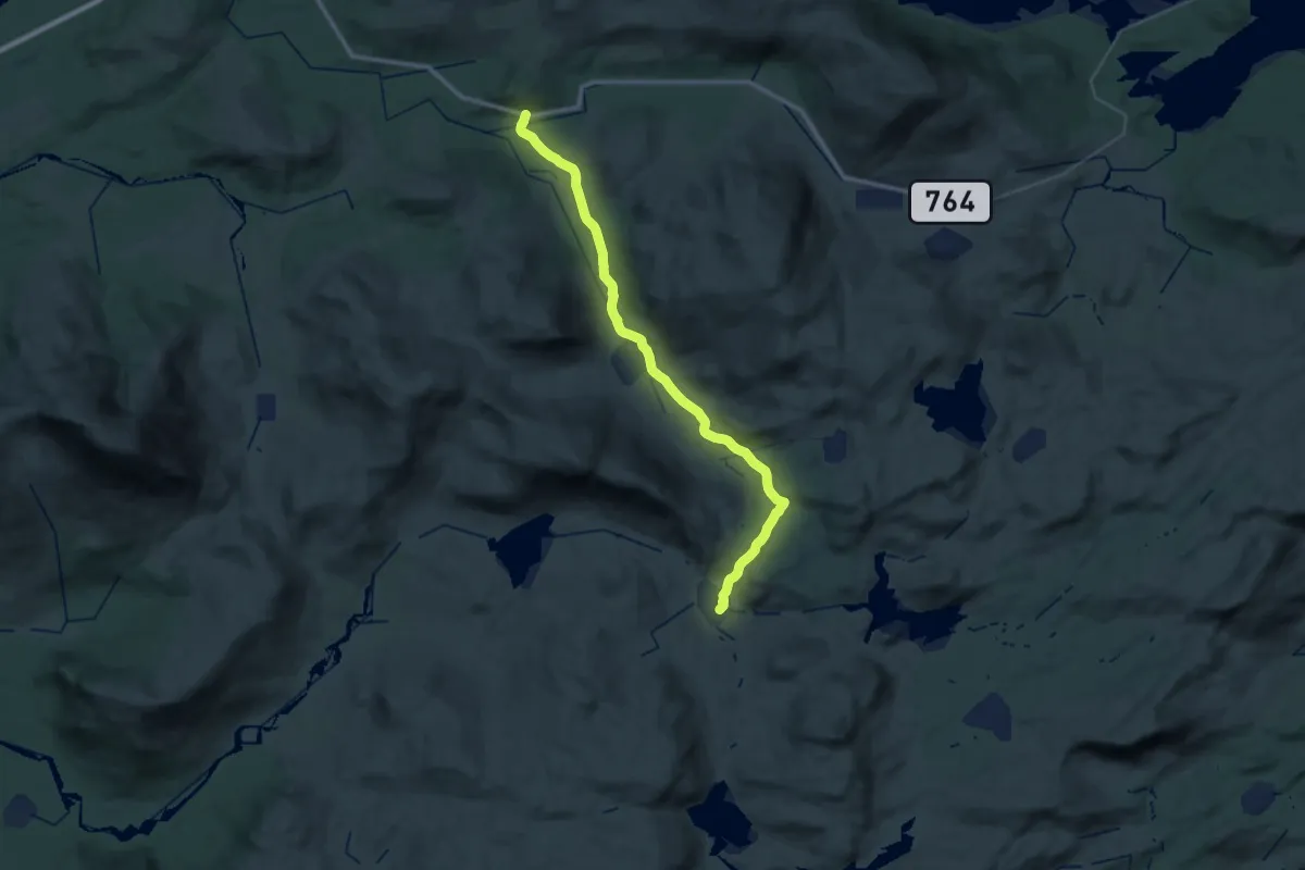
Demanding · Trail
Skjeftmyråsen
26.8 km · ↑ 578 m · 7 h 34 min
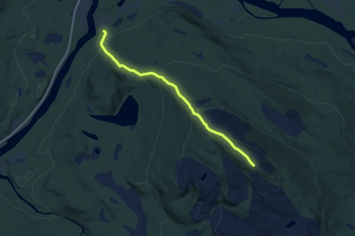
Medium · Trail
Skjeggefjellet
5.2 km · ↑ 351 m · 2 h
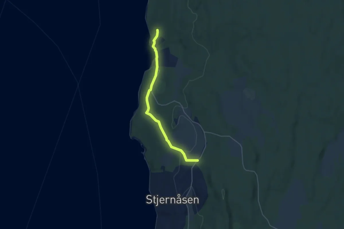
Easy · Trail
Skjelavika - Lunde
2.9 km · ↑ 59 m · 49 min
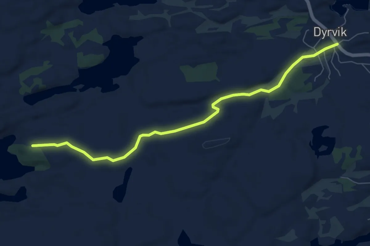
Easy · Trail
Skjelbruvatnet
4.7 km · ↑ 25 m · 1 h 10 min
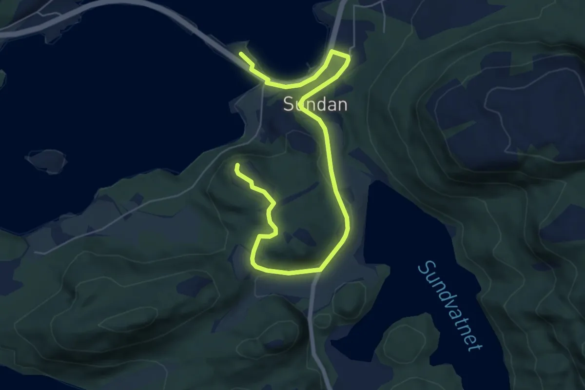
Easy · Trail
Skjeldnesfjellet
4.9 km · ↑ 109 m · 1 h 23 min
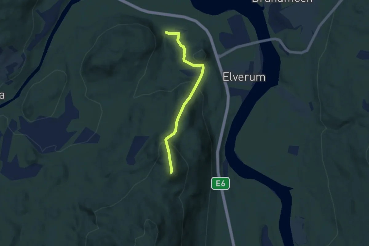
Medium · Trail
Skjellhaugen
3.0 km · ↑ 198 m · 1 h 9 min
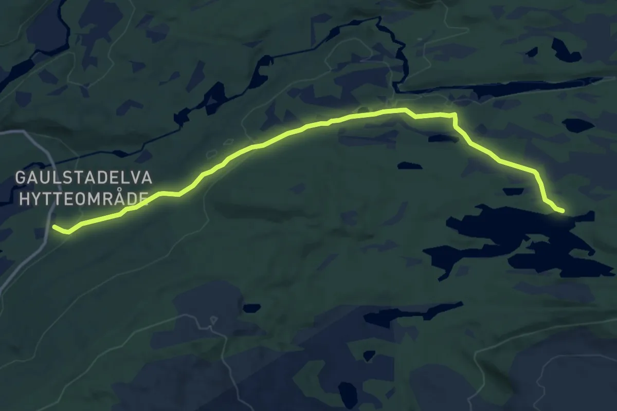
Easy · Trail
Skjellivatnet
7.8 km · ↑ 150 m · 2 h 11 min
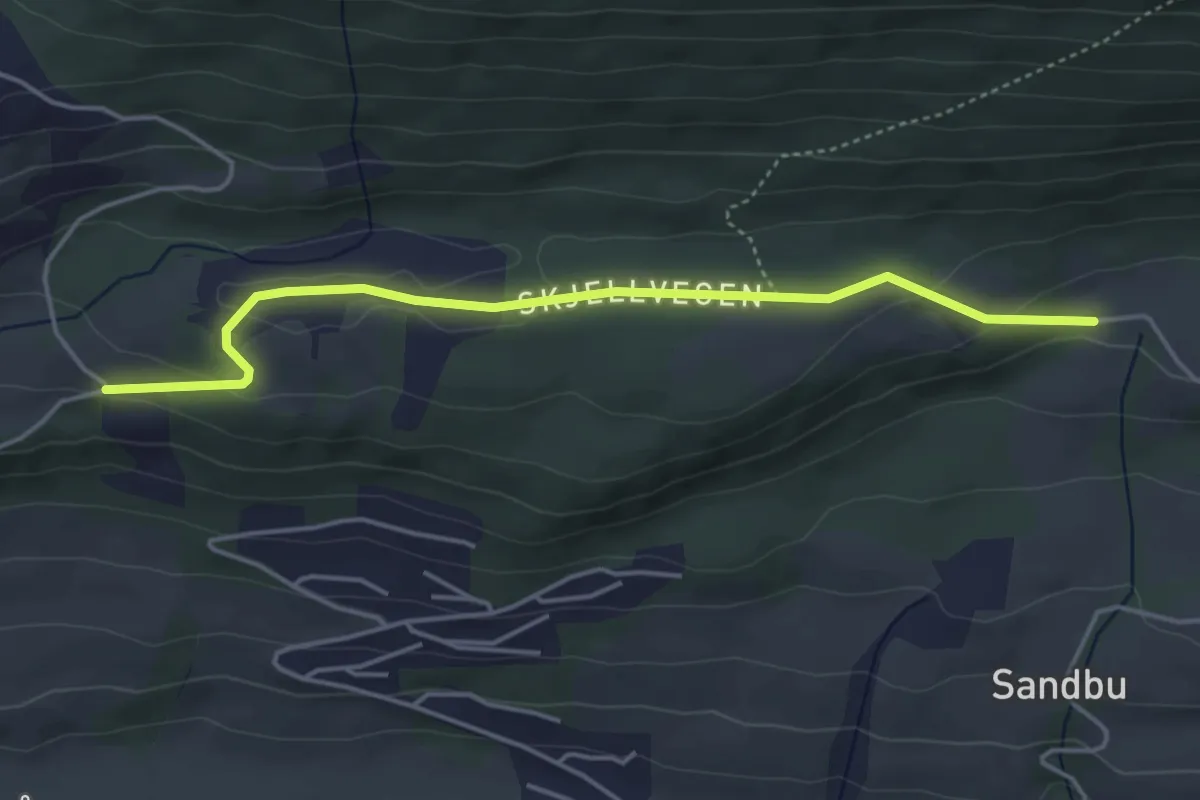
Easy · Trail
Skjellom rundt, Skjellvegen
3.0 km · ↑ 86 m · 54 min
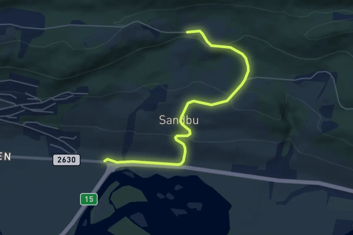
Easy · Trail
Skjellom rundt, storrunda, Skjellvegen/Steindalsvegen
3.7 km · ↑ 148 m · 1 h 11 min
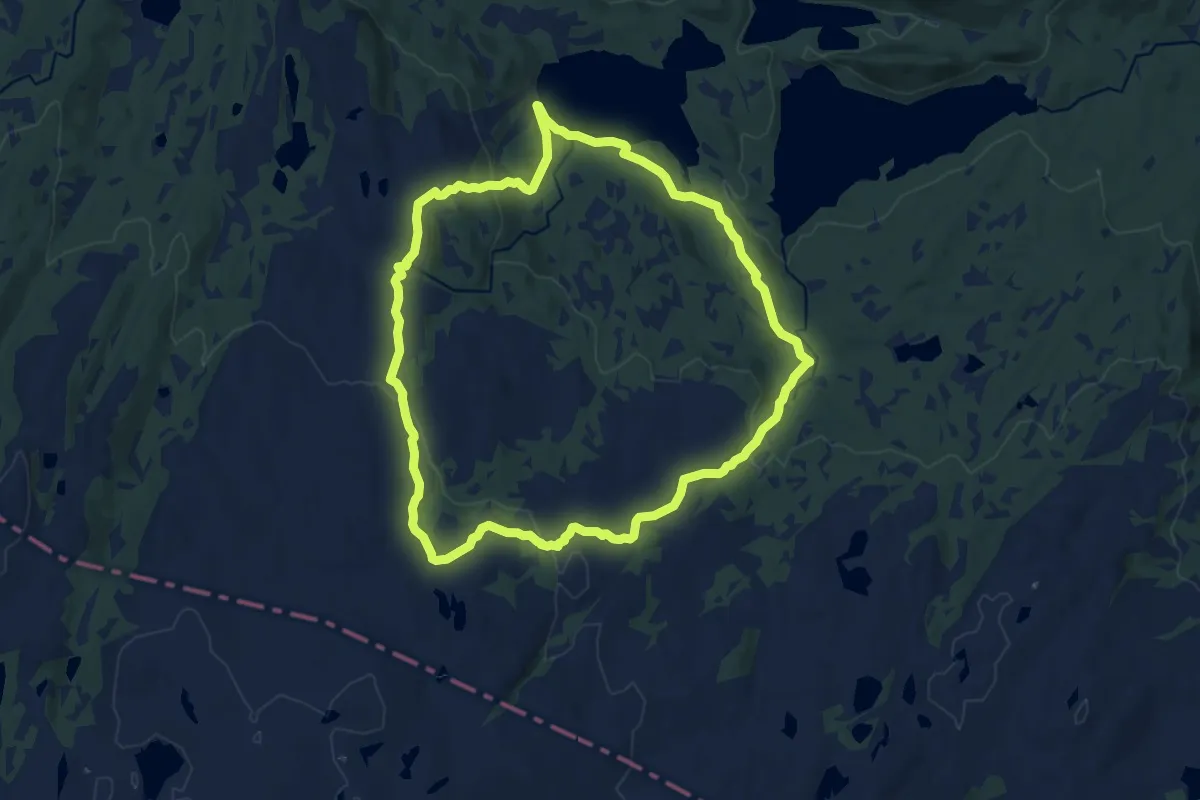
Medium · Trail
Skjentjennarunden
8.8 km · ↑ 254 m · 2 h 45 min
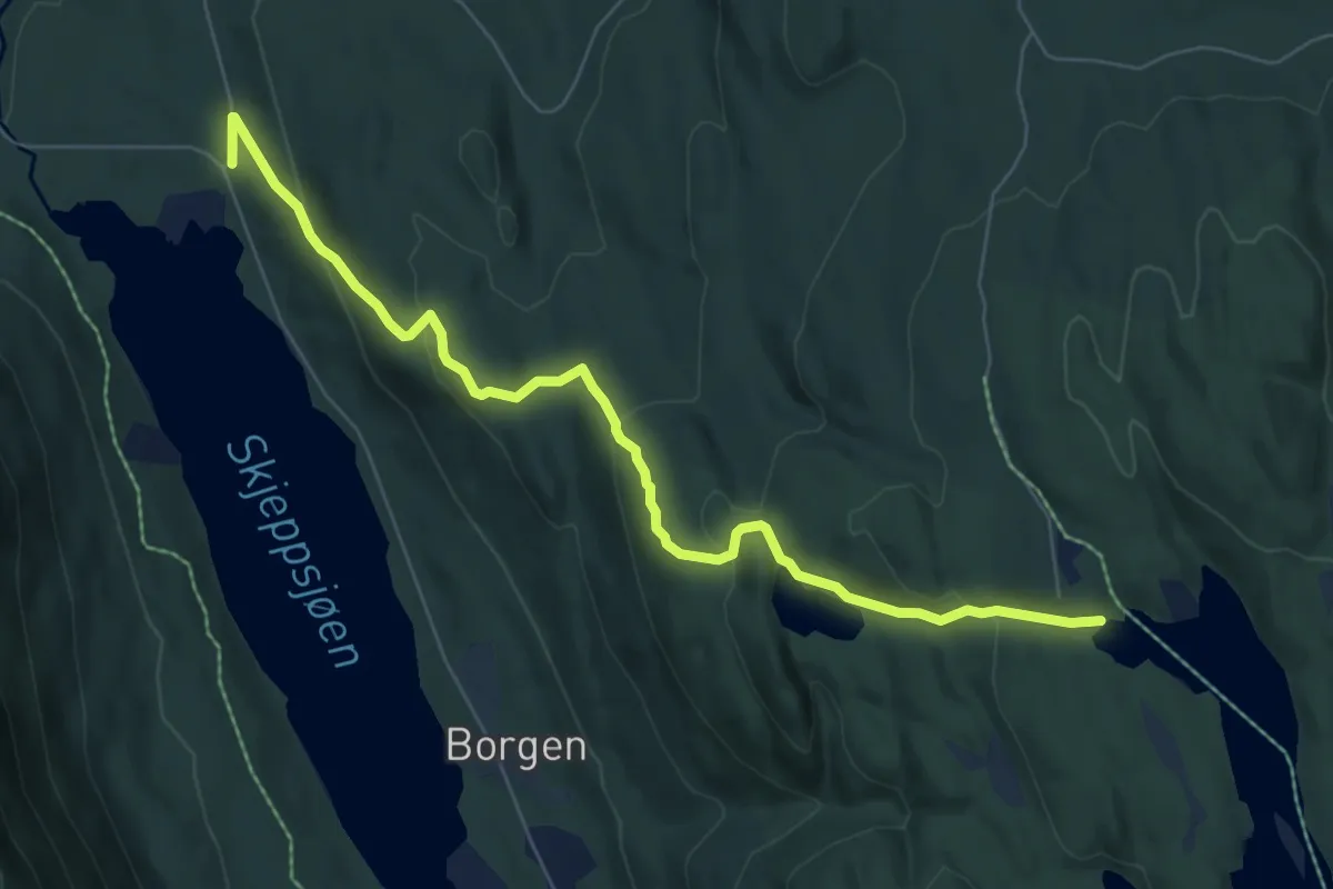
Easy · Trail
Skjeppsjøen-Fiskelausen
5.3 km · ↑ 255 m · 1 h 49 min
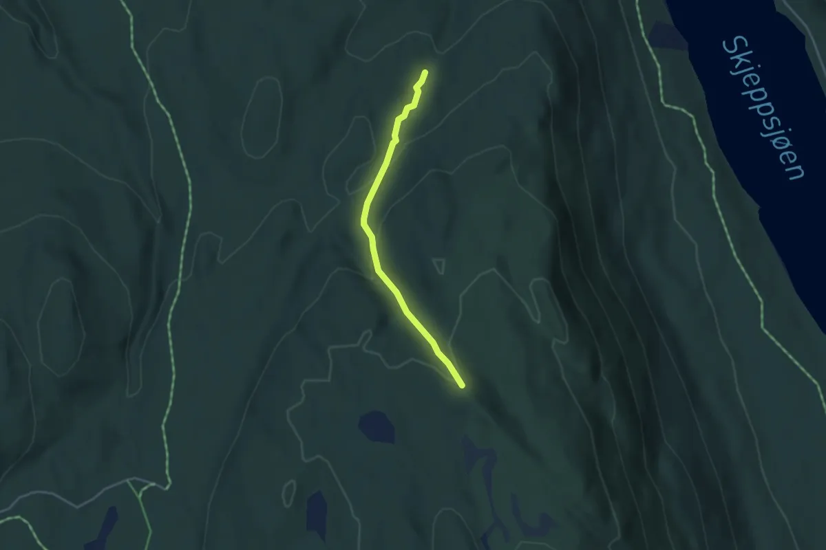
Easy · Trail
Skjeppsjøen-Holokampen
2.3 km · ↑ 143 m · 51 min
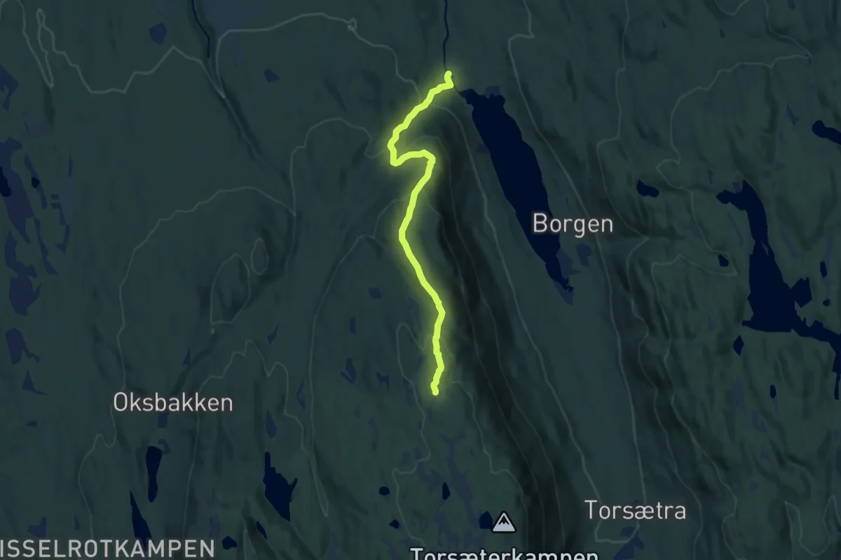
Medium · Trail
Skjeppsjøen-Holokampen
7.2 km · ↑ 363 m · 2 h 29 min
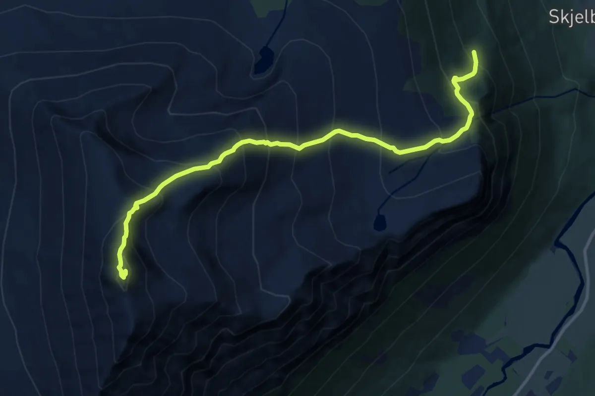
Demanding · Trail
Skjervan
8.1 km · ↑ 1139 m · 4 h 23 min
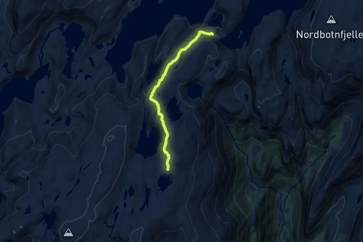
Easy · Trail
Skjervasstangen-Skavlabu
6.6 km · ↑ 248 m · 2 h 6 min
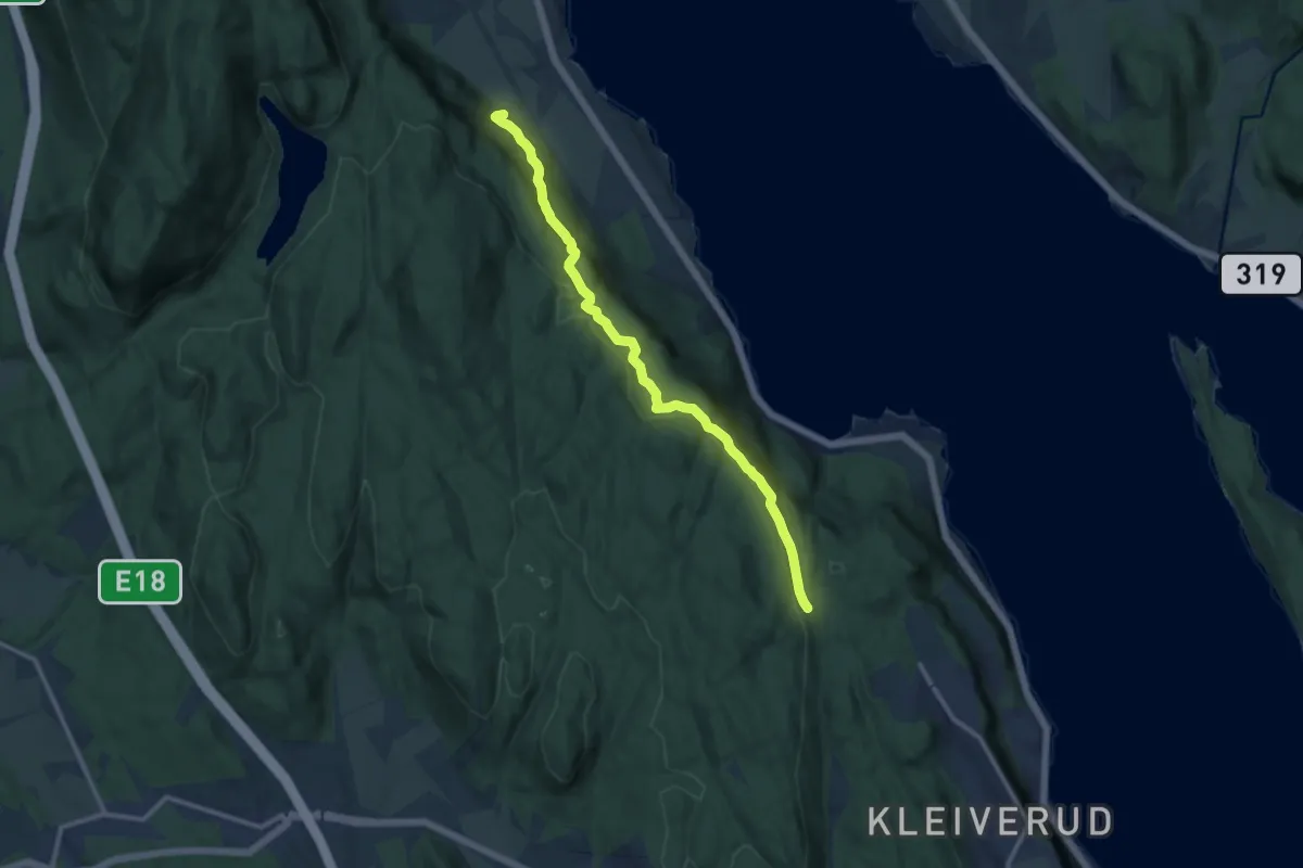
Medium · Trail
Skjervik - Skjervikhytta
8.2 km · ↑ 287 m · 2 h 34 min
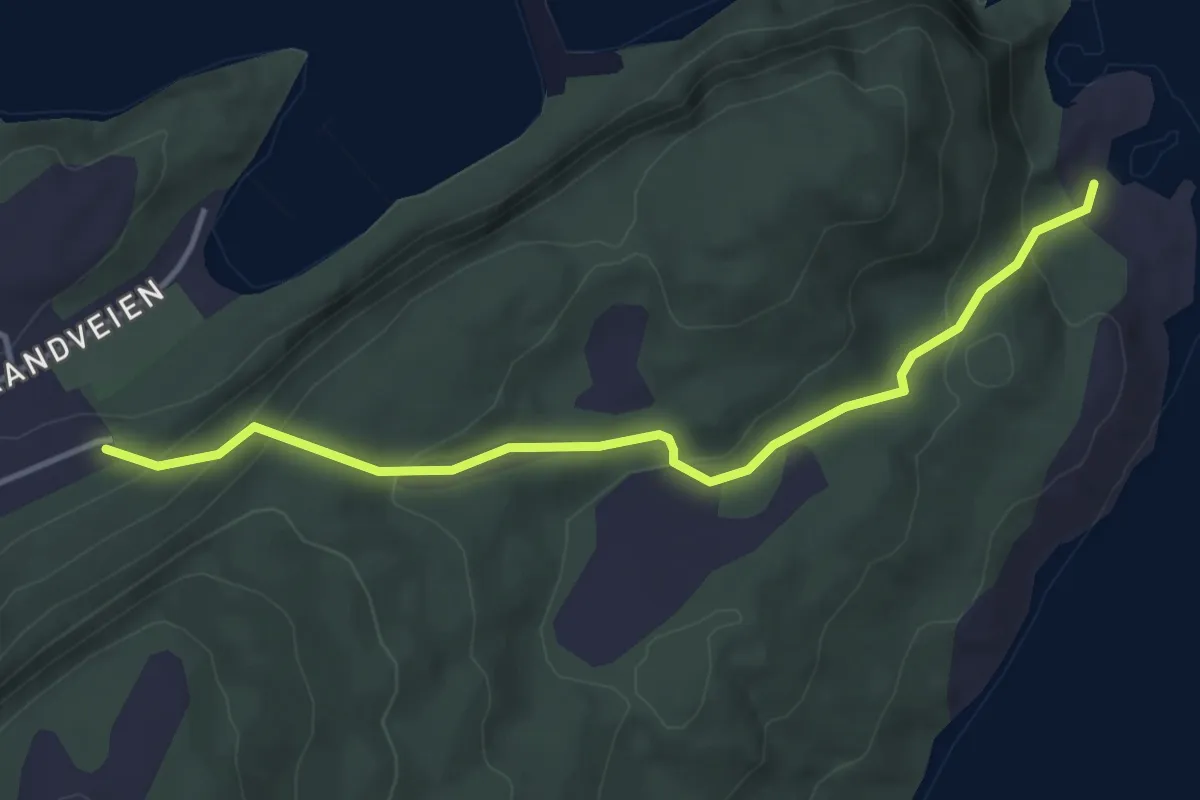
Easy · Trail
Skjervøykongens hule
2.0 km · ↑ 147 m · 47 min
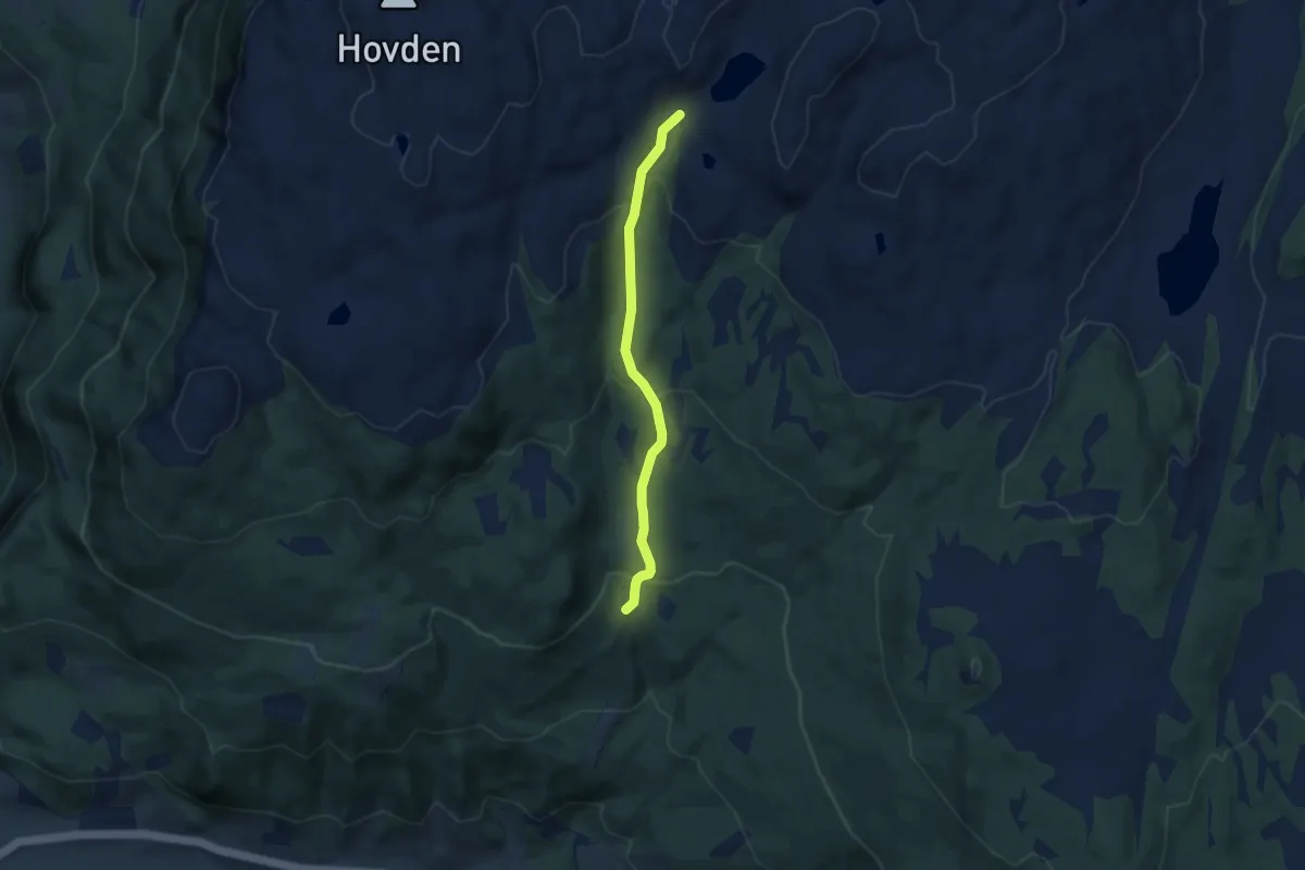
Easy · Trail
Skjervsætrin - Rørastuggu
4.4 km · ↑ 253 m · 1 h 36 min
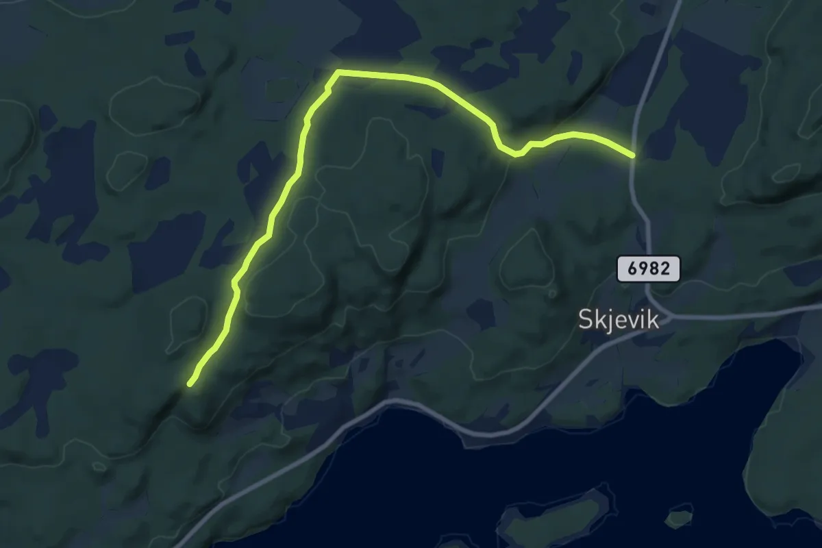
Easy · Trail
Skjevikskogen til Tuva
5.6 km · ↑ 106 m · 1 h 34 min
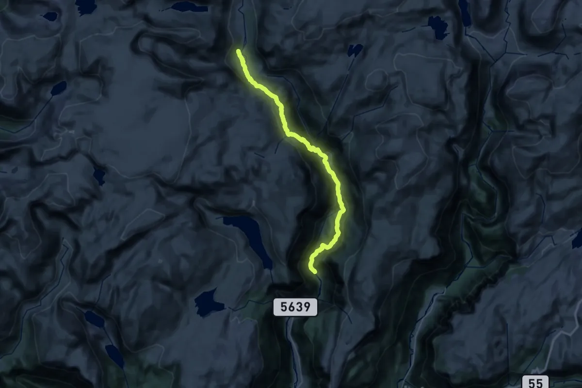
Demanding · Cabin
Skjolden - Arentzbu
14.1 km · ↑ 1071 m · 5 h 27 min
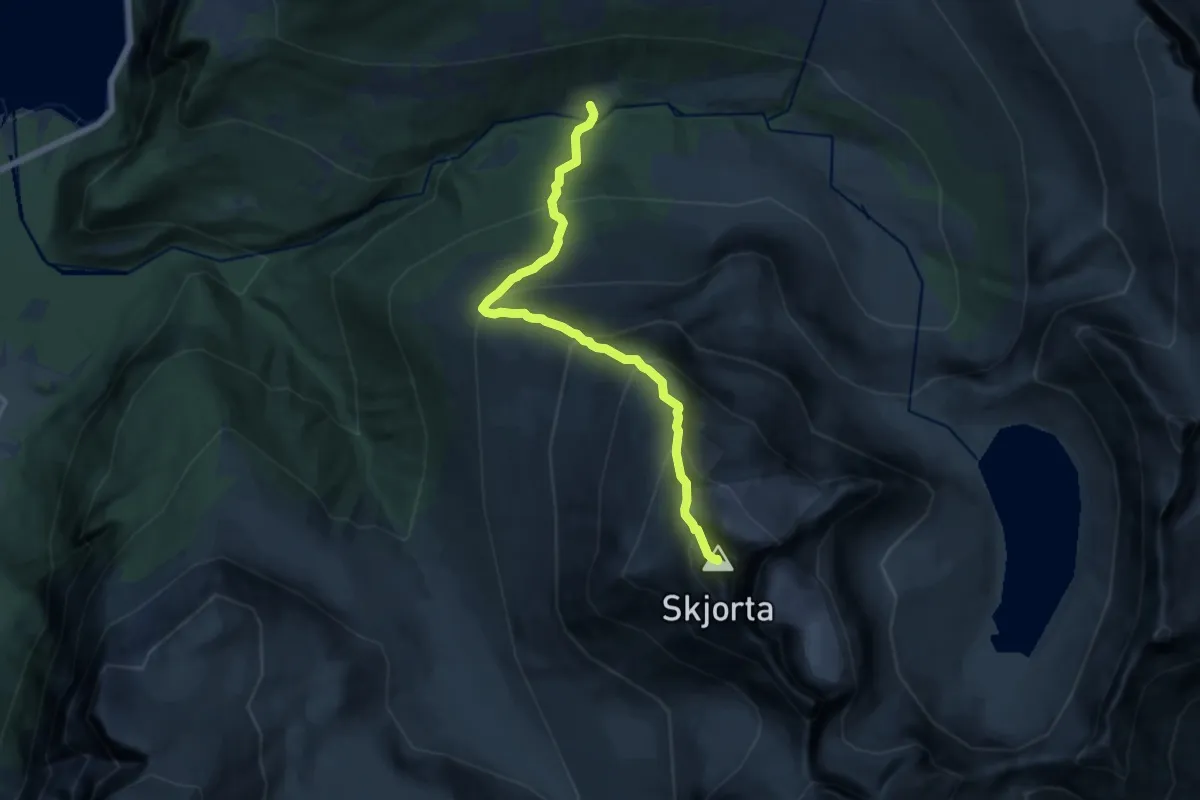
Demanding · Summit
Skjorta
8.7 km · ↑ 1254 m · 4 h 46 min
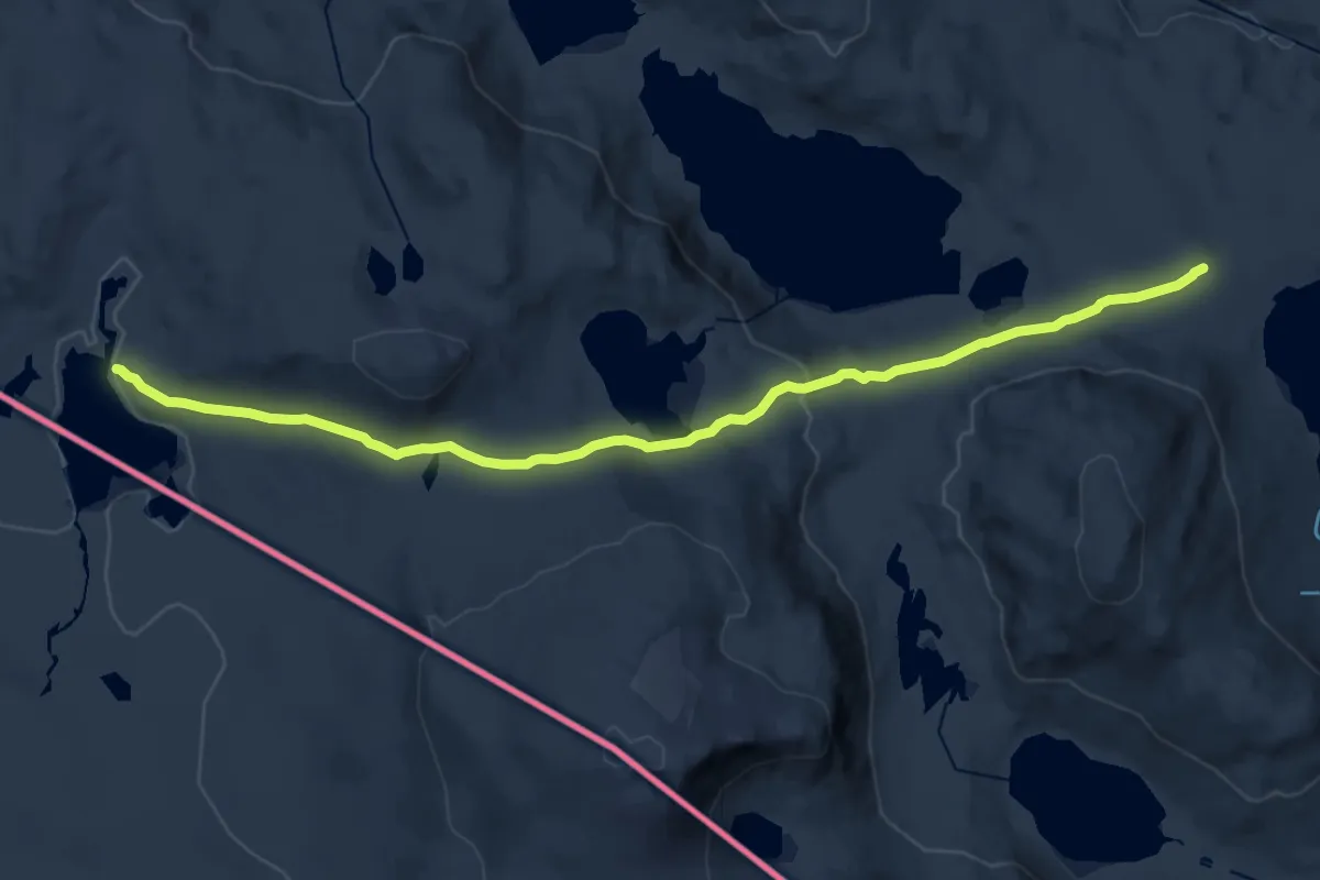
Demanding · Cabin
Skoaddejavre - Gautelisfjellet
14.0 km · ↑ 339 m · 4 h 3 min
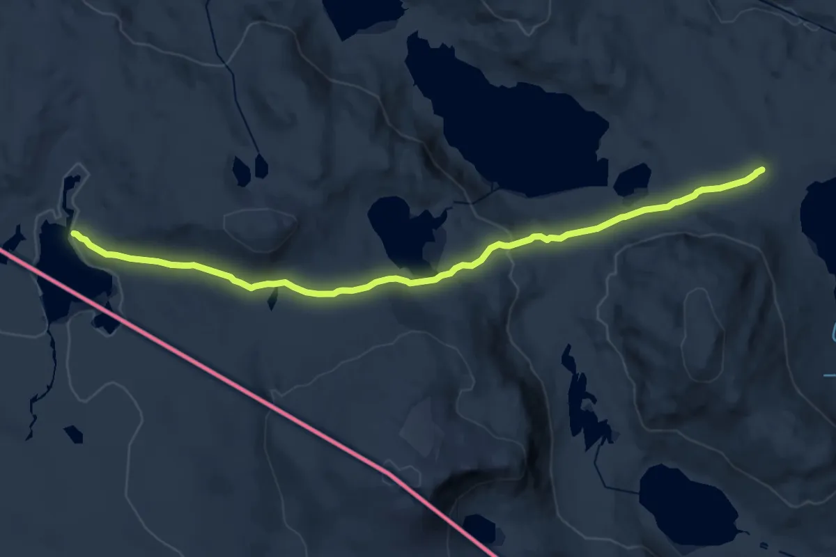
Medium · Cabin
Skoaddejávrehytta - Cáihnavággihytta
14.0 km · ↑ 339 m · 4 h 3 min
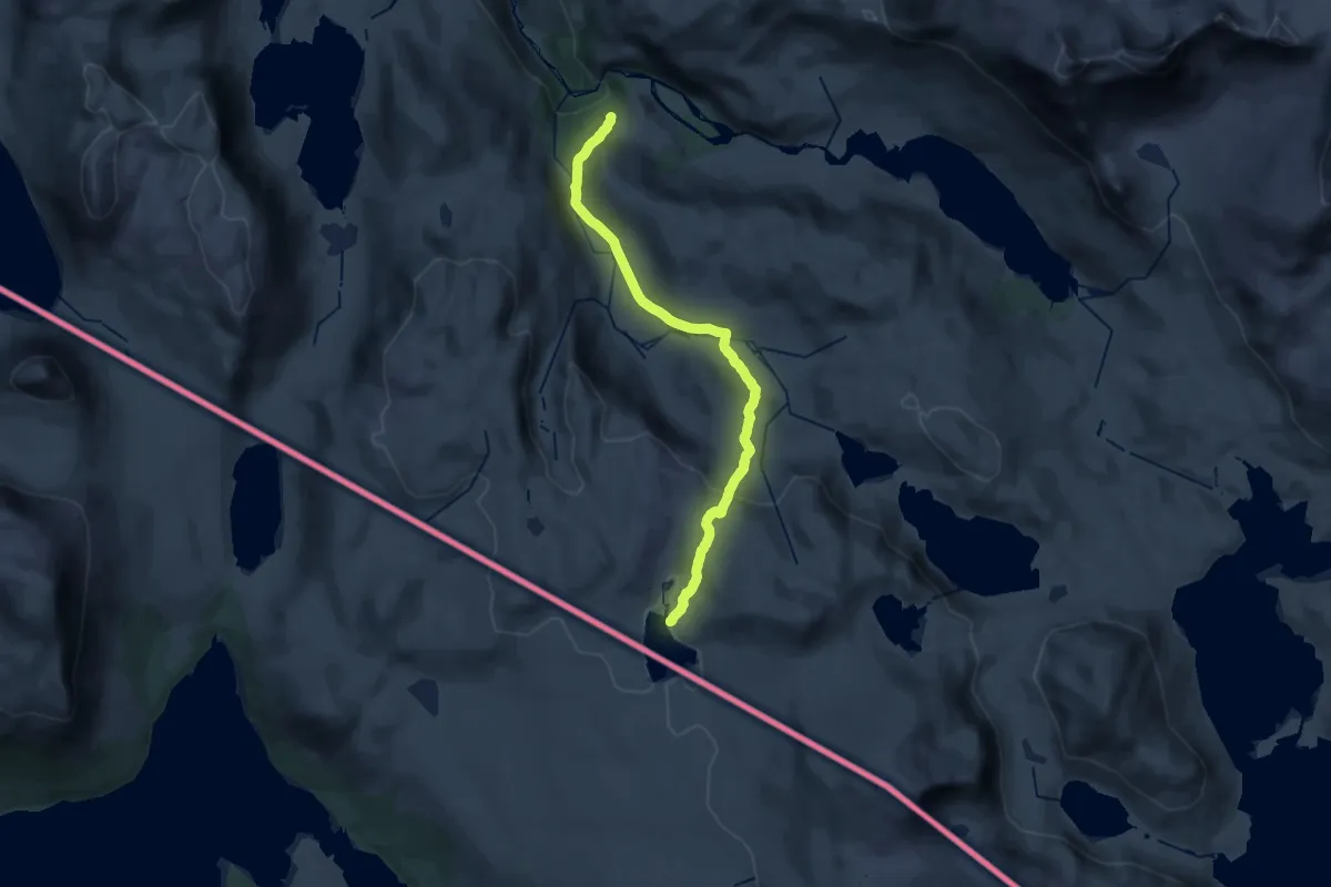
Easy · Cabin
Skoaddejávre - Kjørrisdalen
18.0 km · ↑ 594 m · 5 h 32 min
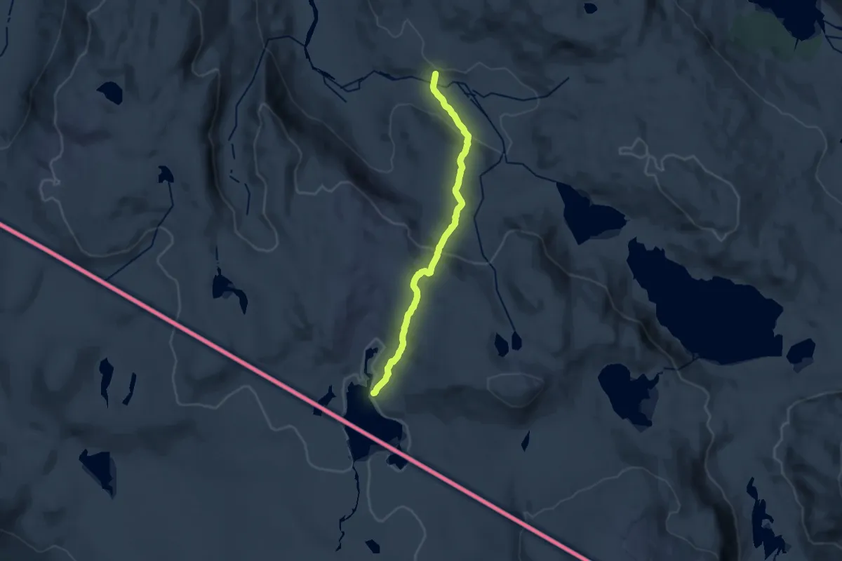
Easy · Cabin
Skoaddejávre - Kjørrisdalen
9.4 km · ↑ 376 m · 3 h 2 min
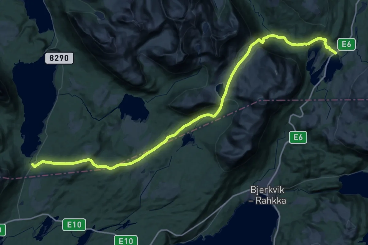
Expert · Cabin
Skoddeberghytta til Øse
22.1 km · ↑ 756 m · 7 h 15 min
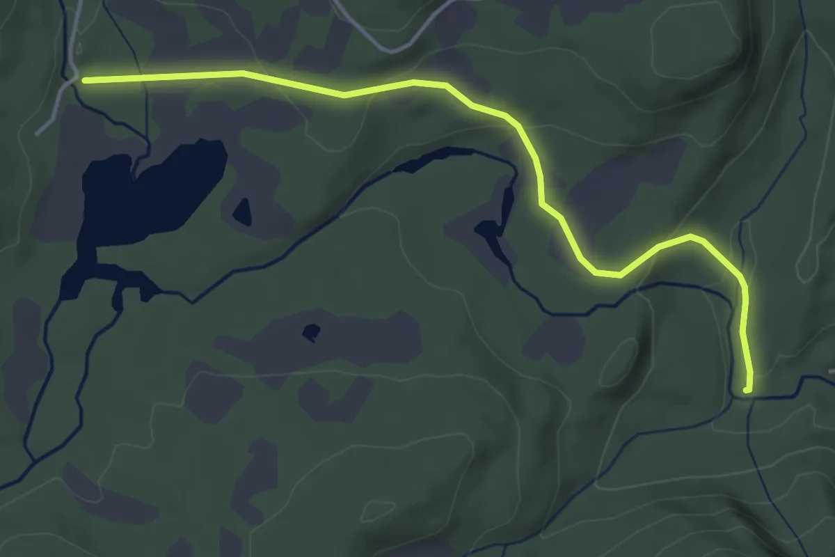
Easy · Trail
Skodøltjenn - Grunntjennsetra
3.2 km · ↑ 81 m · 55 min
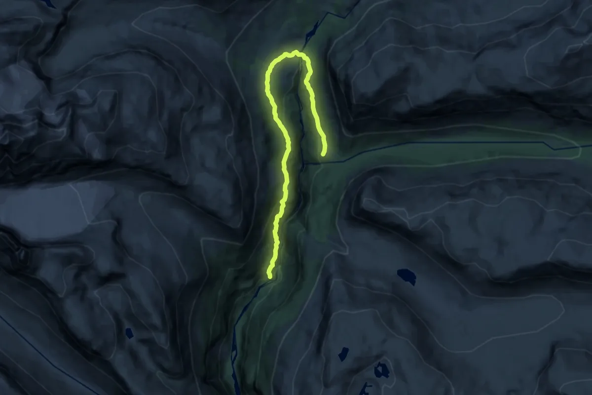
Medium · Cabin
Skogadalsbøen-Storebrui-Vormeli
13.0 km · ↑ 463 m · 4 h 4 min
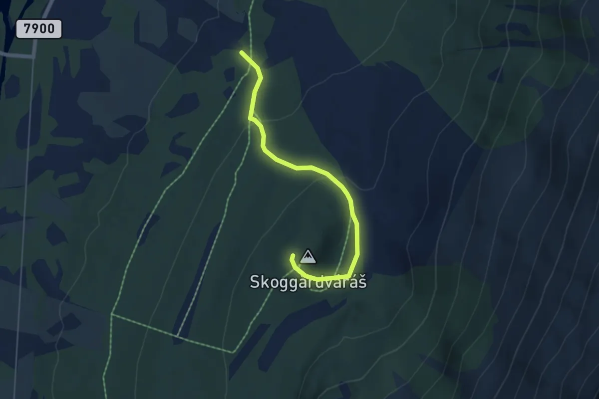
Easy · Trail
Skoggårdváráš
2.6 km · ↑ 119 m · 52 min
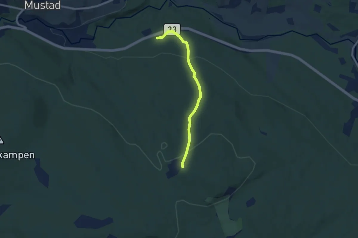
Easy · Trail
Skogheim - Presthaugen
3.6 km · ↑ 136 m · 1 h 8 min
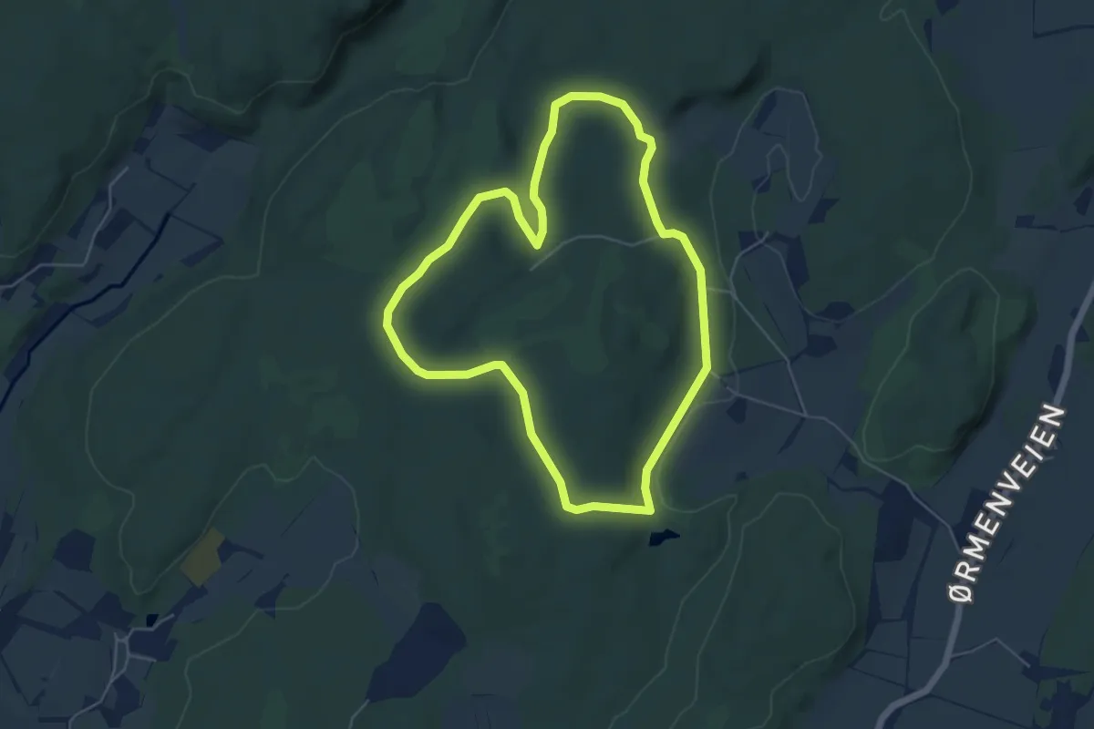
Easy · Trail
Skogland folkesti
3.8 km · ↑ 51 m · 1 h 4 min
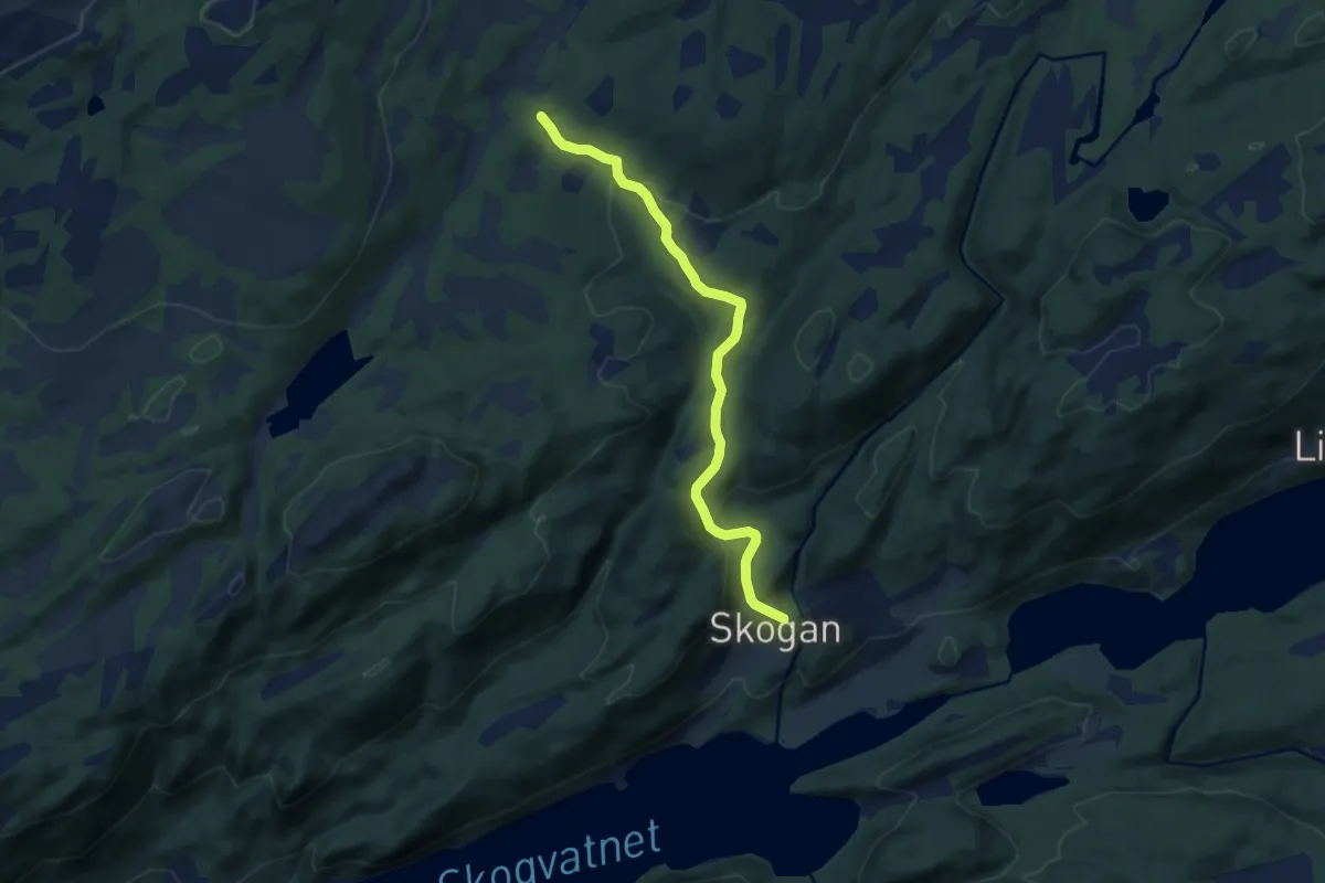
Easy · Trail
Skogmarka
5.3 km · ↑ 182 m · 1 h 39 min