Trails in Norway
7,452 hiking trails, each with its route, climb, walking time and grade.
All trails, page 90 of 156
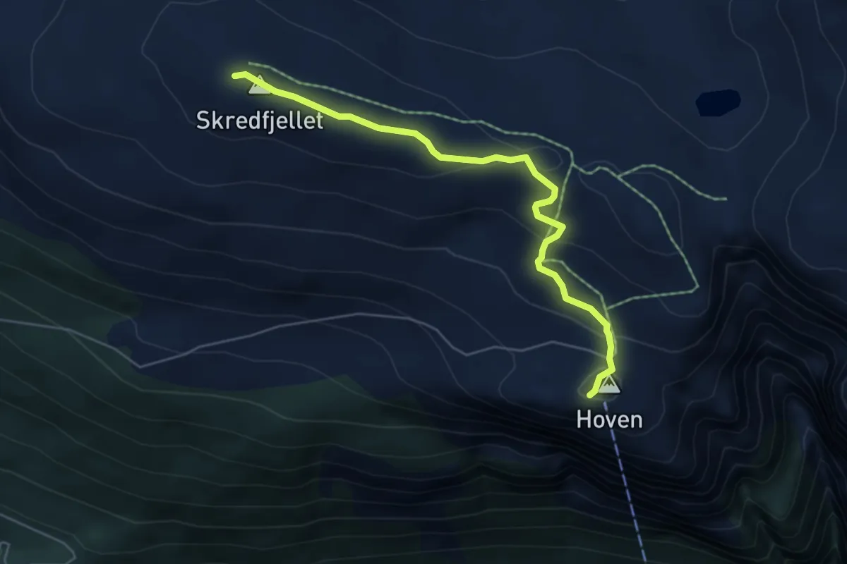
Easy · Trail
Skredfjellet
3.8 km · ↑ 143 m · 1 h 12 min
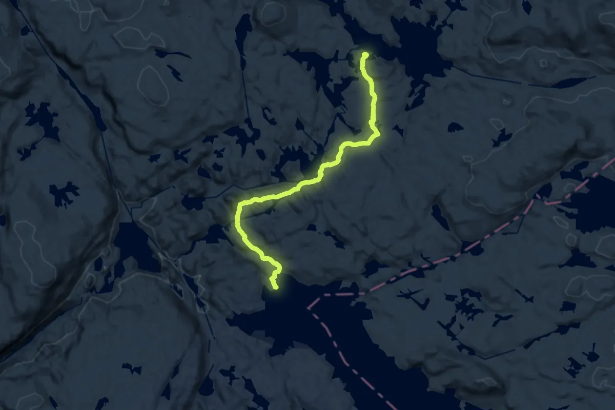
Demanding · Cabin
Skreivassdammen - Krossvatnet
12.8 km · ↑ 383 m · 3 h 52 min
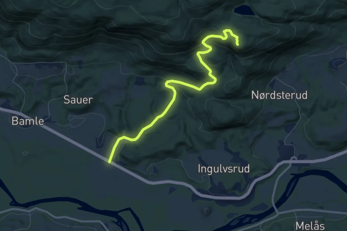
Easy · Trail
Skrubbedalsnatten
6.0 km · ↑ 290 m · 2 h 2 min
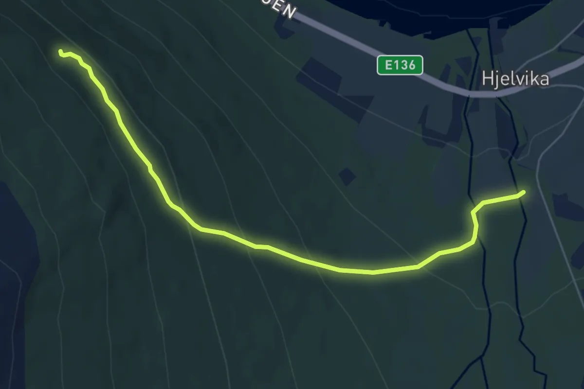
Easy · Trail
Skruførå
4.1 km · ↑ 233 m · 1 h 28 min
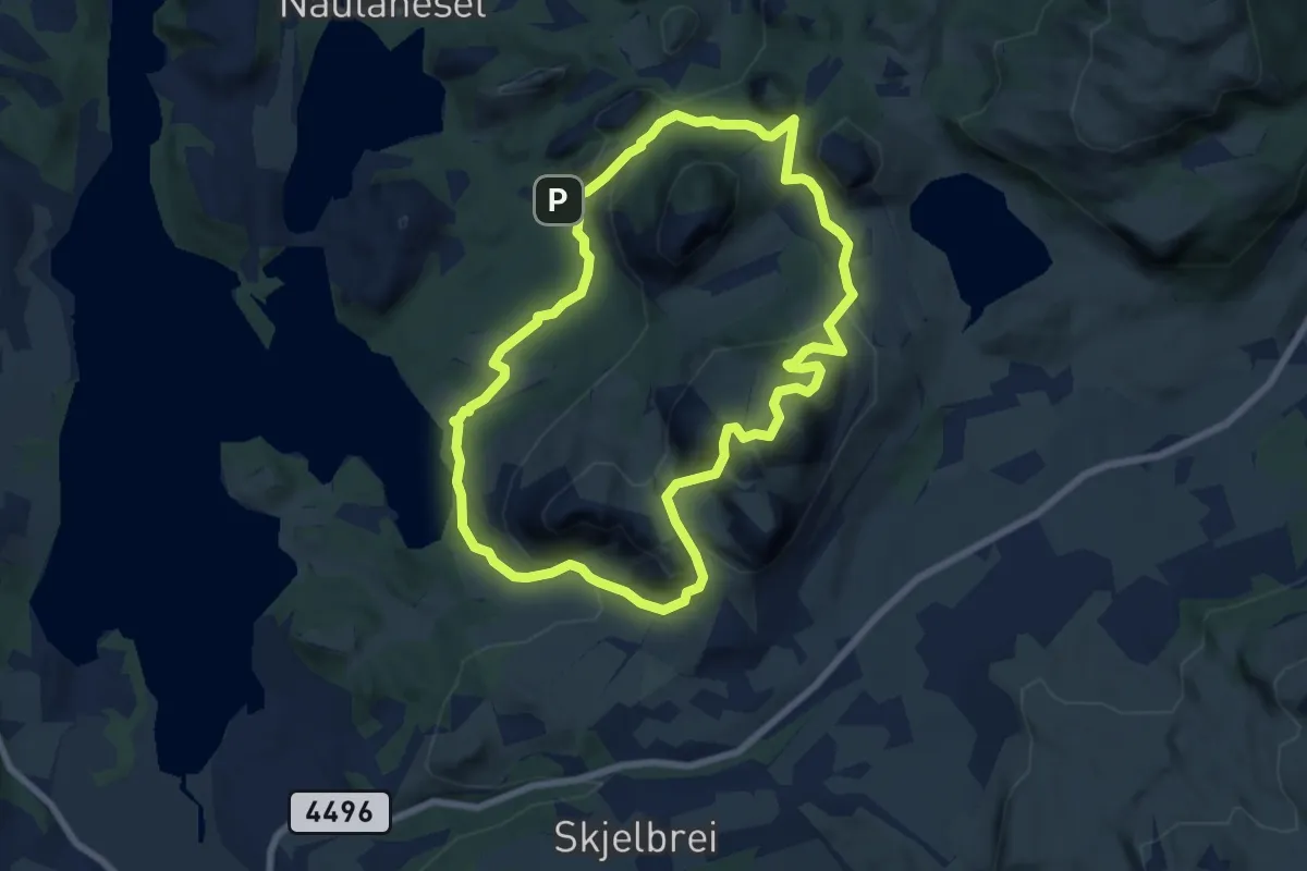
Easy · Summit
Skrussfjell
5.5 km · ↑ 306 m · 2 h 2 min
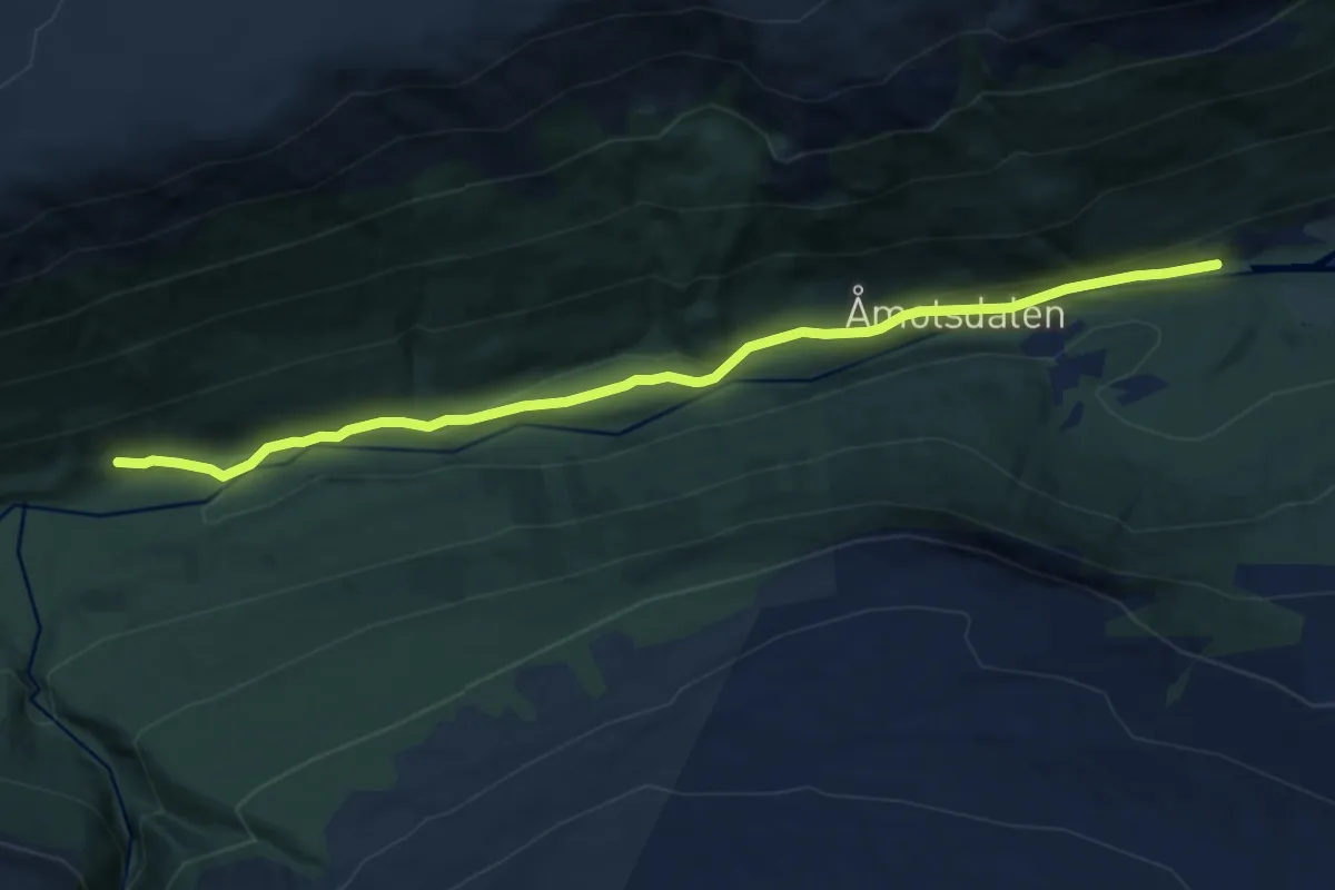
Easy · Trail
Skrustølen
7.0 km · ↑ 119 m · 1 h 55 min
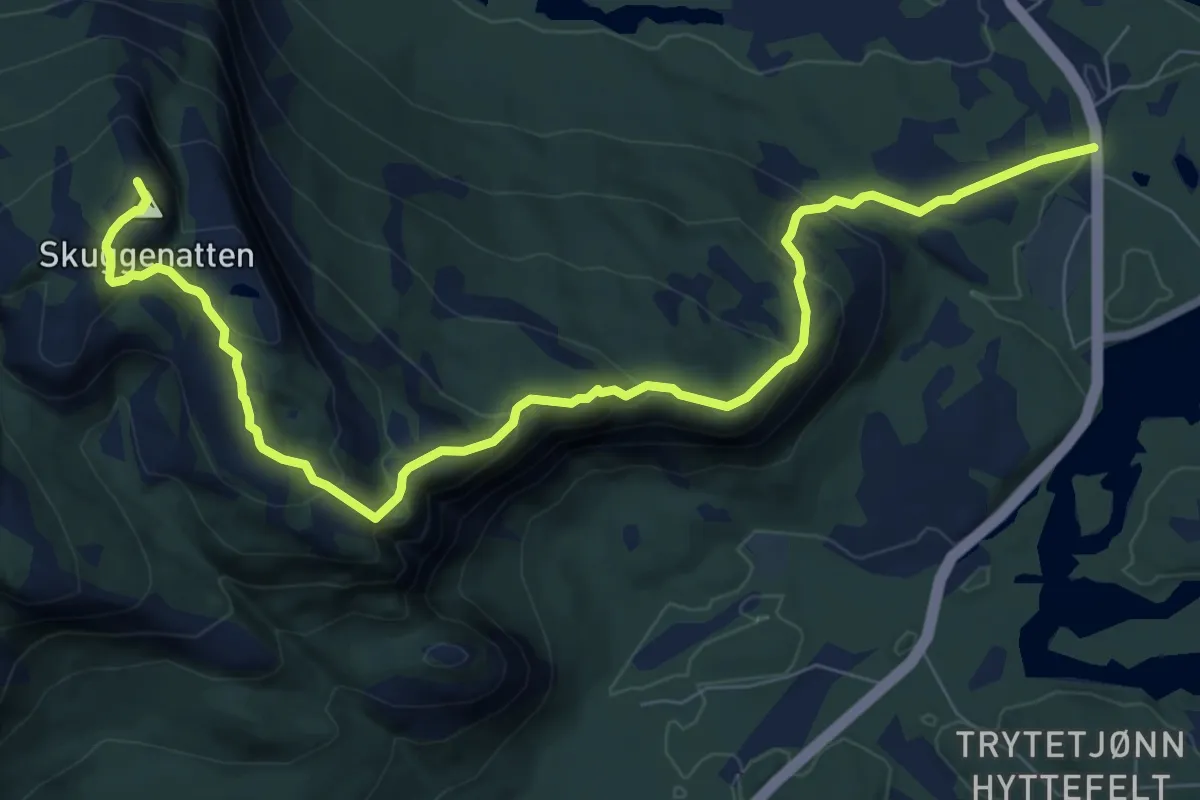
Medium · Trail
Skuggenatten
7.1 km · ↑ 461 m · 2 h 40 min
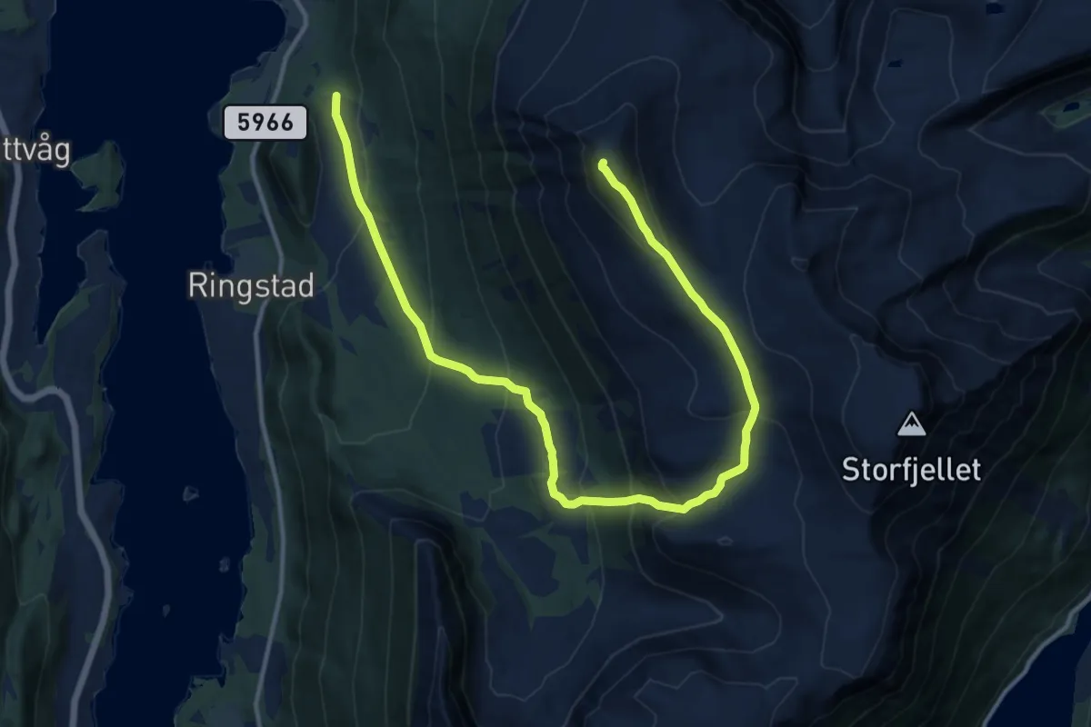
Demanding · Trail
Skulen Helland-Hellandshornet
11.0 km · ↑ 810 m · 4 h 21 min
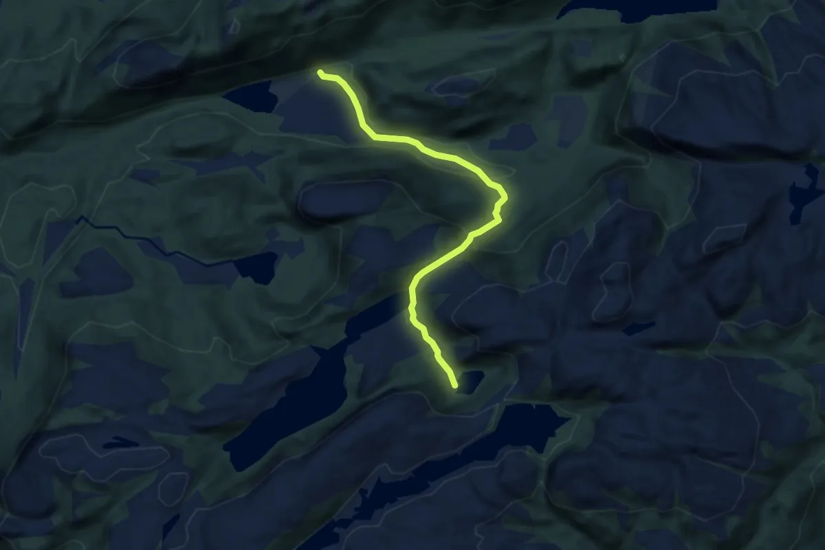
Easy · Trail
Skultjønna
4.0 km · ↑ 172 m · 1 h 19 min
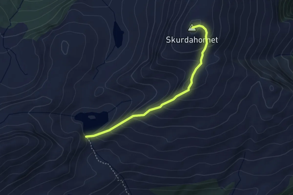
Easy · Trail
Skuravatnet - Skurahornet
2.3 km · ↑ 207 m · 1 h
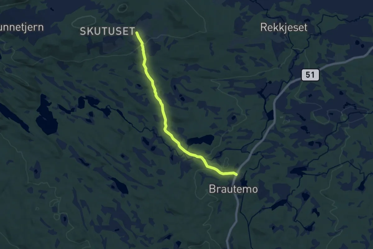
Easy · Trail
Skutuset-Brautemo
7.7 km · ↑ 170 m · 2 h 11 min
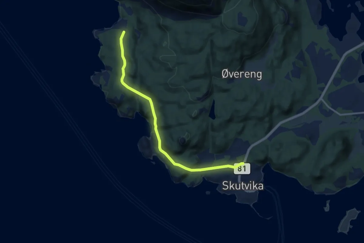
Medium · Trail
Skutvik-Utåkervika
5.1 km · ↑ 118 m · 1 h 28 min
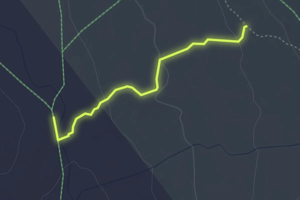
Easy · Trail
Skvaldra - Rondanestien
2.1 km · ↑ 64 m · 38 min
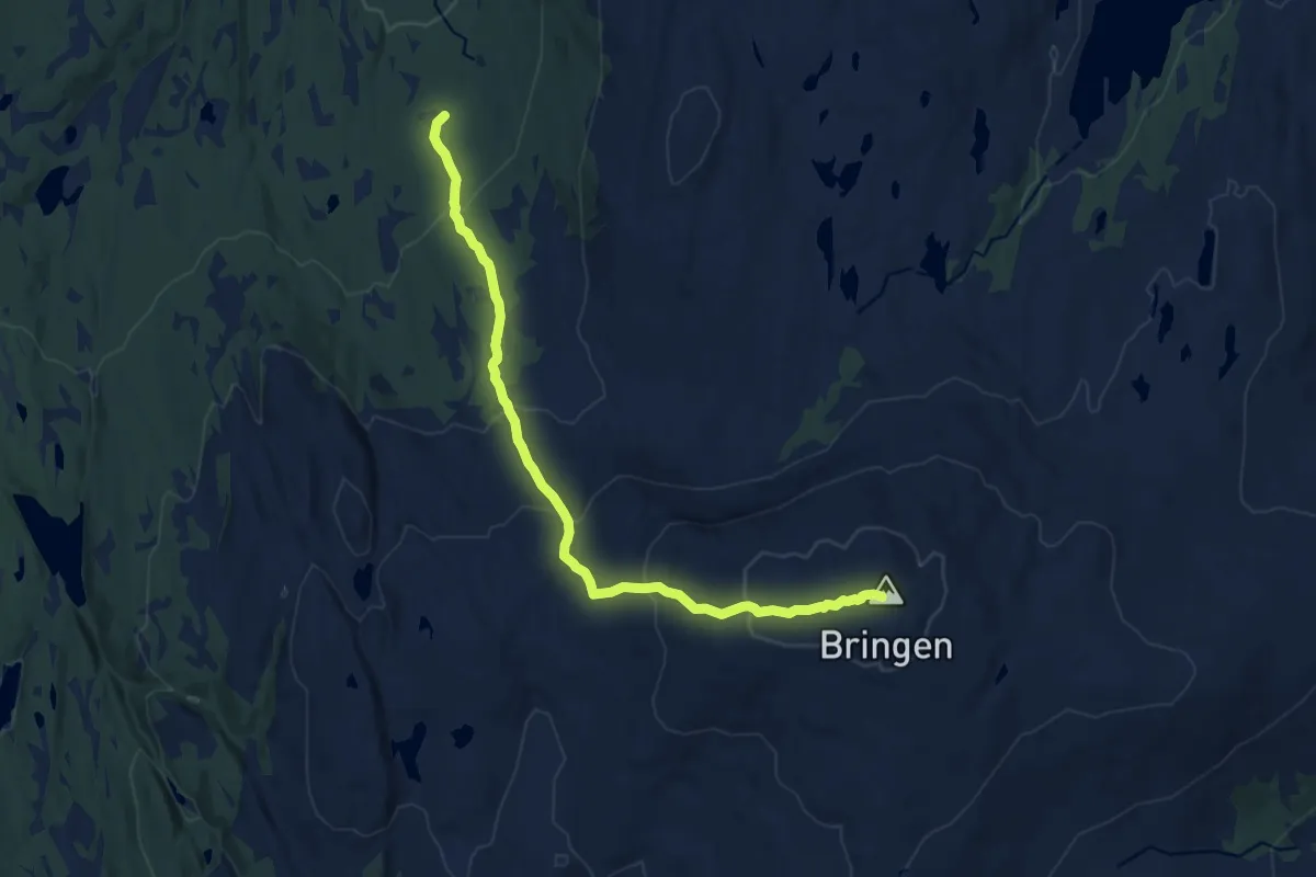
Medium · Trail
Skyttholet - Bringen
8.6 km · ↑ 488 m · 3 h 5 min
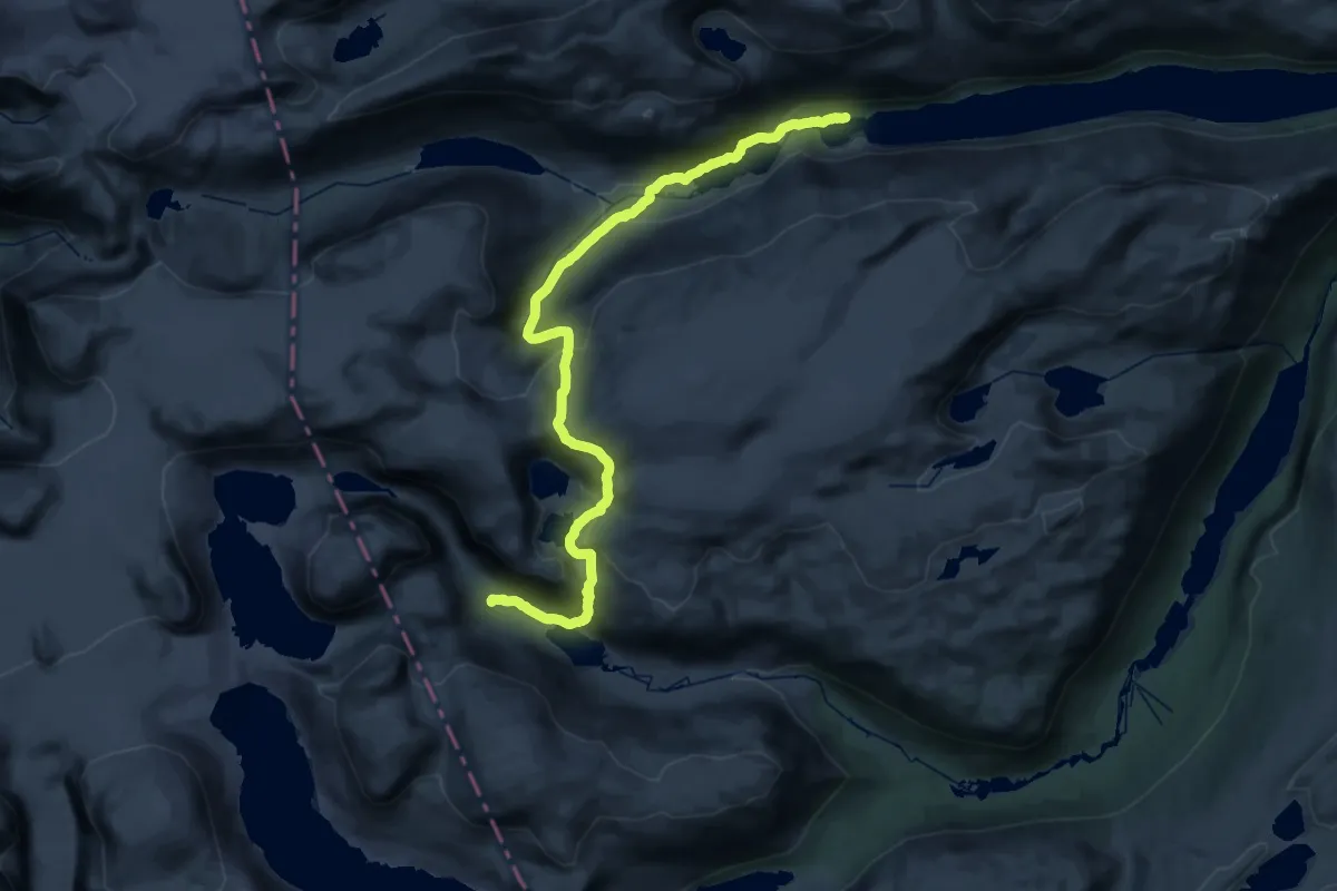
Medium · Cabin
Slæom - Skridulaupbu
17.1 km · ↑ 743 m · 5 h 59 min
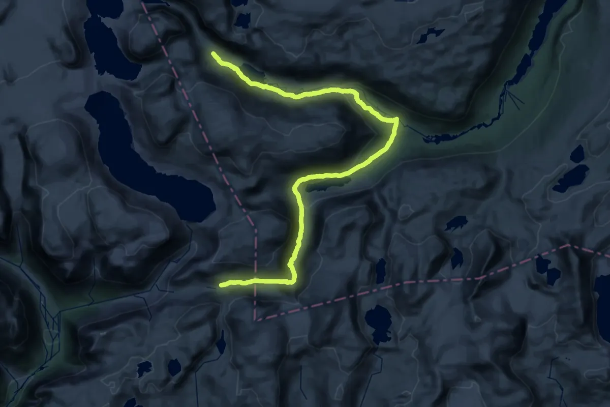
Demanding · Cabin
Slæom - Sprongdalshytta
21.5 km · ↑ 495 m · 6 h 31 min
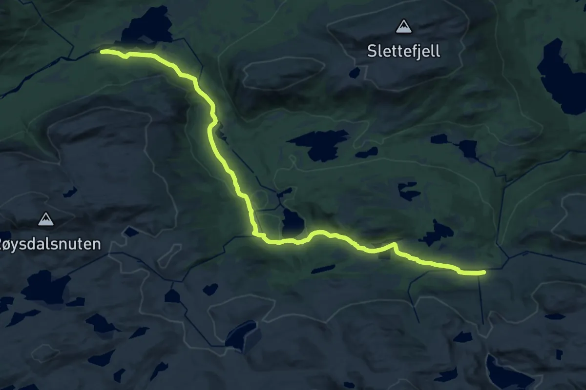
Demanding · Cabin
Slåkåvatnet-Hollan
18.2 km · ↑ 355 m · 5 h 4 min
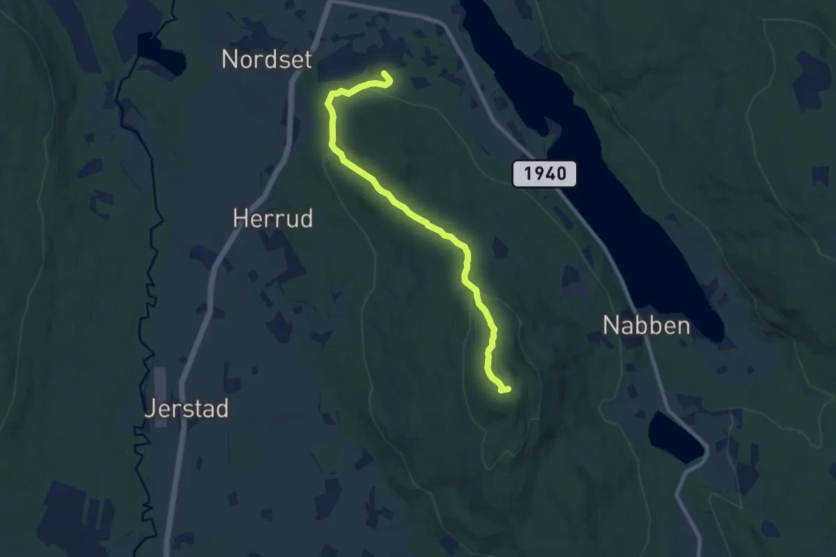
Easy · Trail
Slåstad Barnehage til Duåsberget
5.8 km · ↑ 146 m · 1 h 42 min
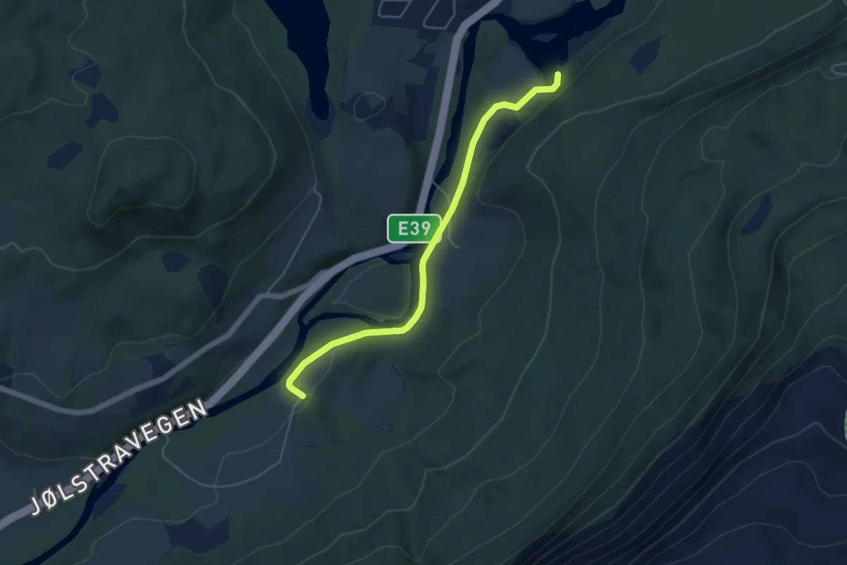
Easy · Trail
Slåtten - Kvammen
3.2 km · ↑ 64 m · 54 min
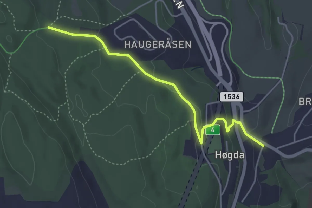
Easy · Trail
Slattum - Li skole
2.9 km · ↑ 89 m · 53 min
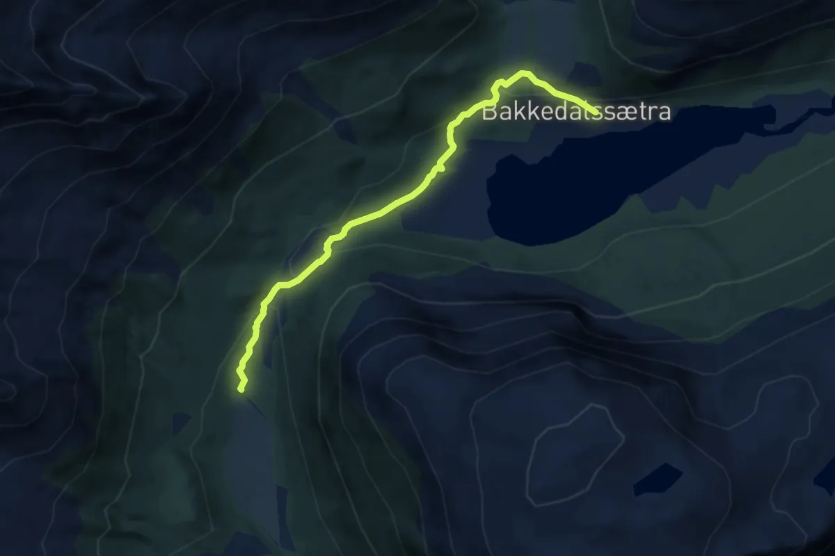
Easy · Trail
Sledalen-Bakkedalen
5.1 km · ↑ 136 m · 1 h 31 min
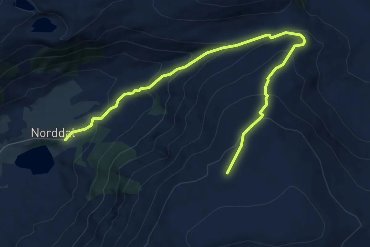
Medium · Trail
Slengesolfjellet
5.5 km · ↑ 387 m · 2 h 9 min
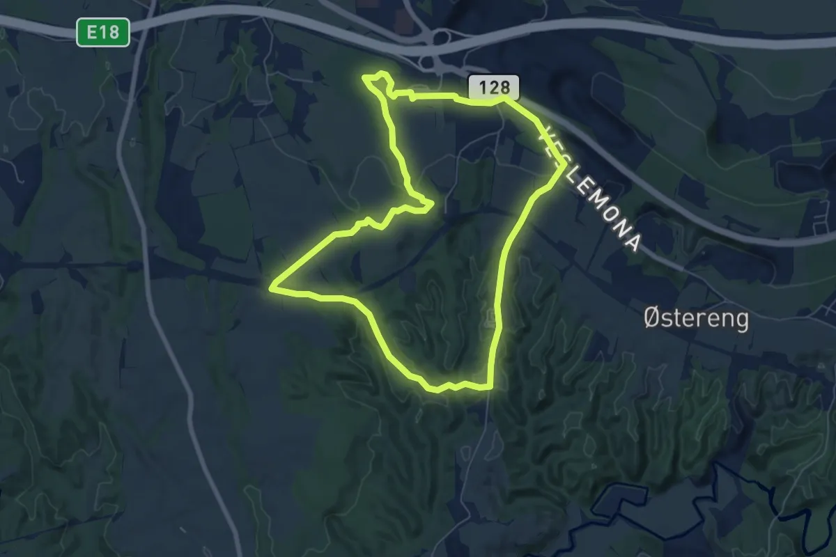
Medium · Trail
Sletnerrunden
10.1 km · ↑ 183 m · 2 h 46 min
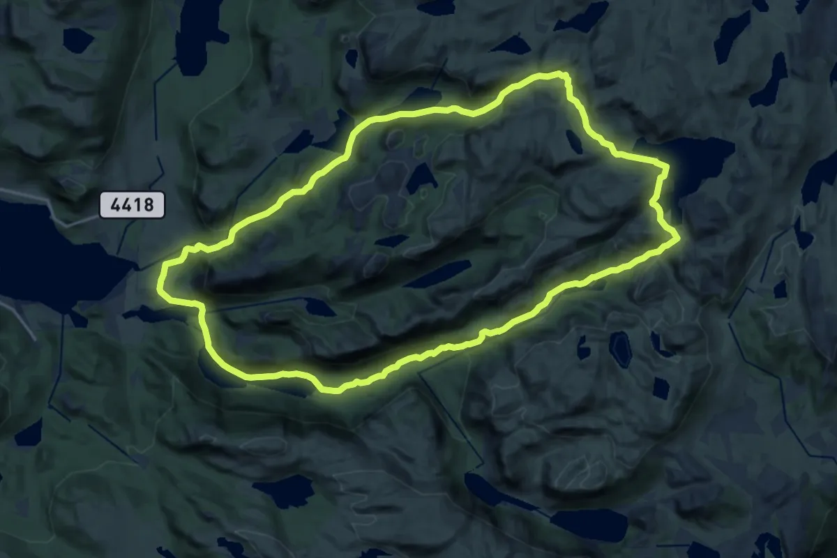
Medium · Trail
Slettabø
13.5 km · ↑ 557 m · 4 h 34 min
Easy · Trail
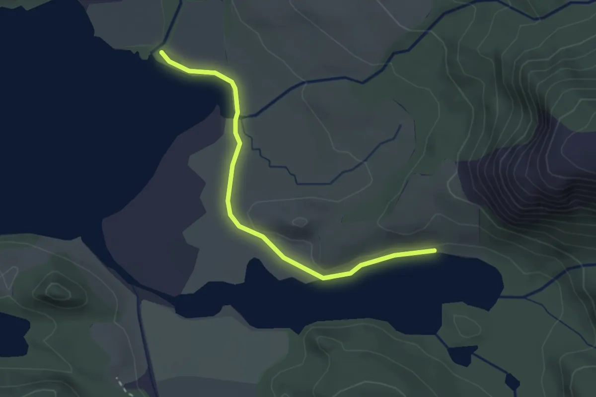
Slettabø-Mjåvatn
2.1 km · ↑ 9 m · 31 min
Demanding · Trail
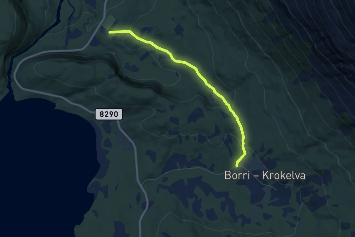
Sletta - Krokelva
3.4 km · ↑ 121 m · 1 h 3 min
Medium · Trail
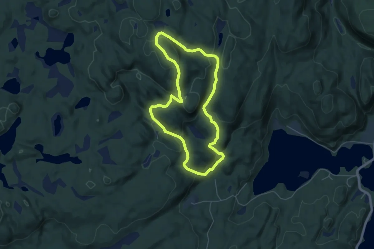
Slettåsheia
7.1 km · ↑ 358 m · 2 h 28 min
Medium · Trail
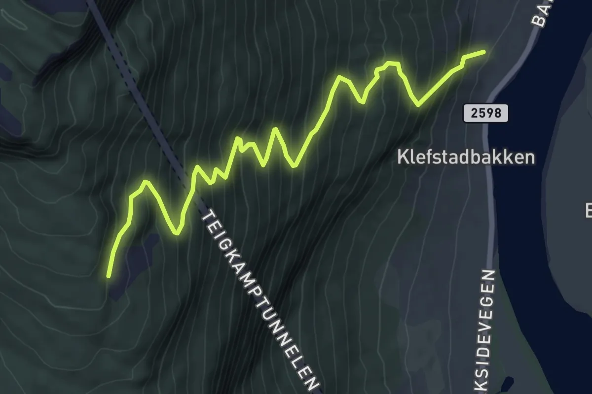
Sletta-Teigsætra
4.4 km · ↑ 534 m · 2 h 11 min
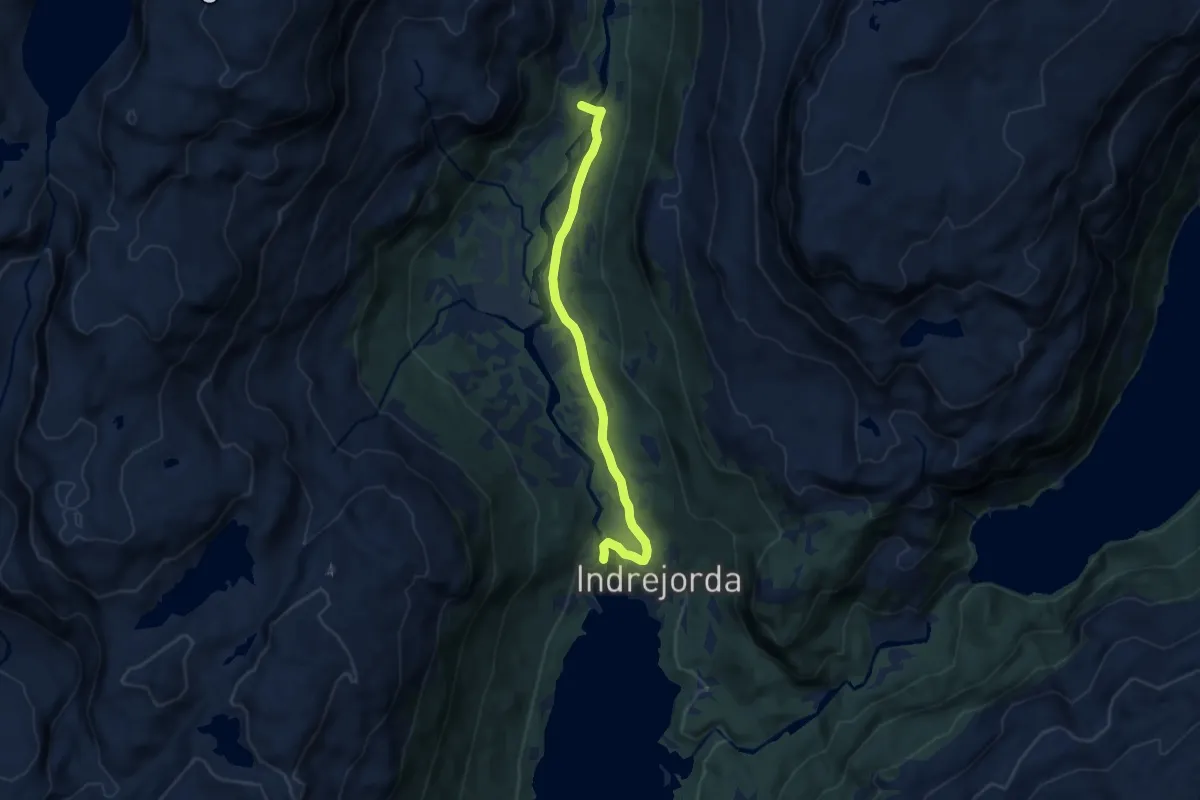
Easy · Trail
Slettedalen
6.2 km · ↑ 82 m · 1 h 39 min
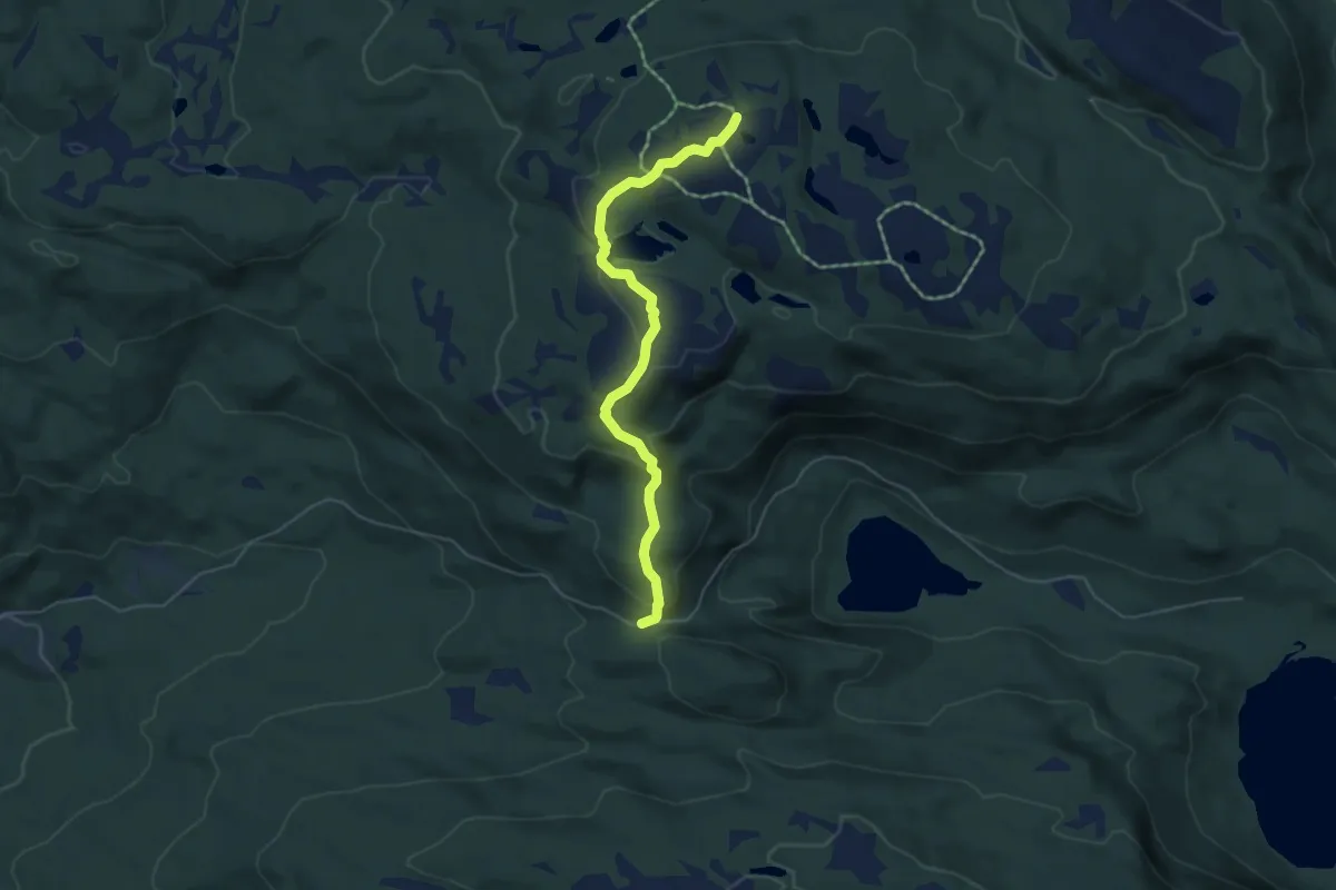
Easy · Trail
Slettefjell
3.7 km · ↑ 165 m · 1 h 13 min
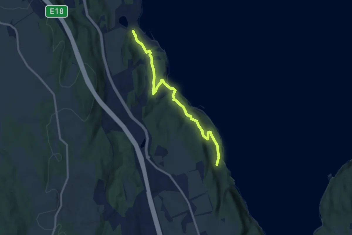
Easy · Trail
Slettefjell - Snekkestad
4.8 km · ↑ 154 m · 1 h 28 min
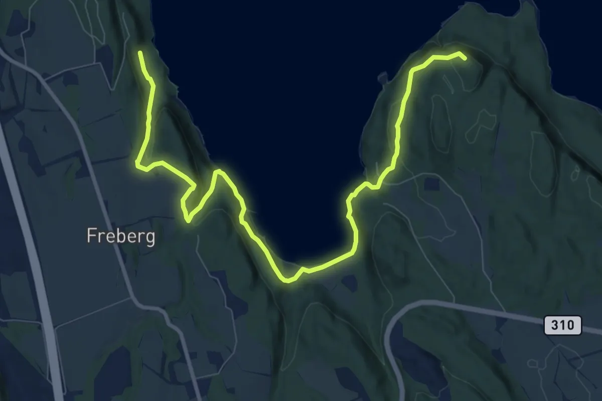
Medium · Trail
Slettefjell - Snekkestad
8.0 km · ↑ 296 m · 2 h 32 min
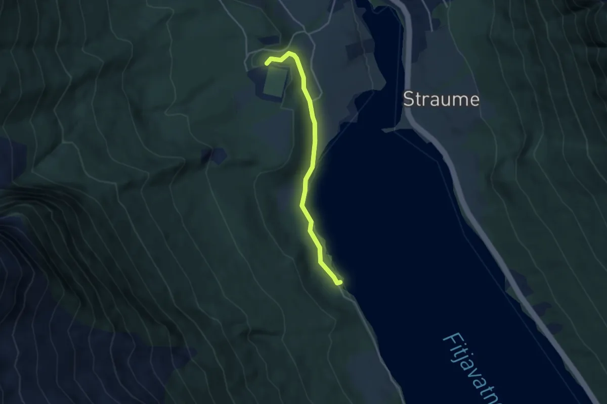
Easy · Trail
Slettegjerde - Lisjesanden
2.3 km · ↑ 42 m · 38 min
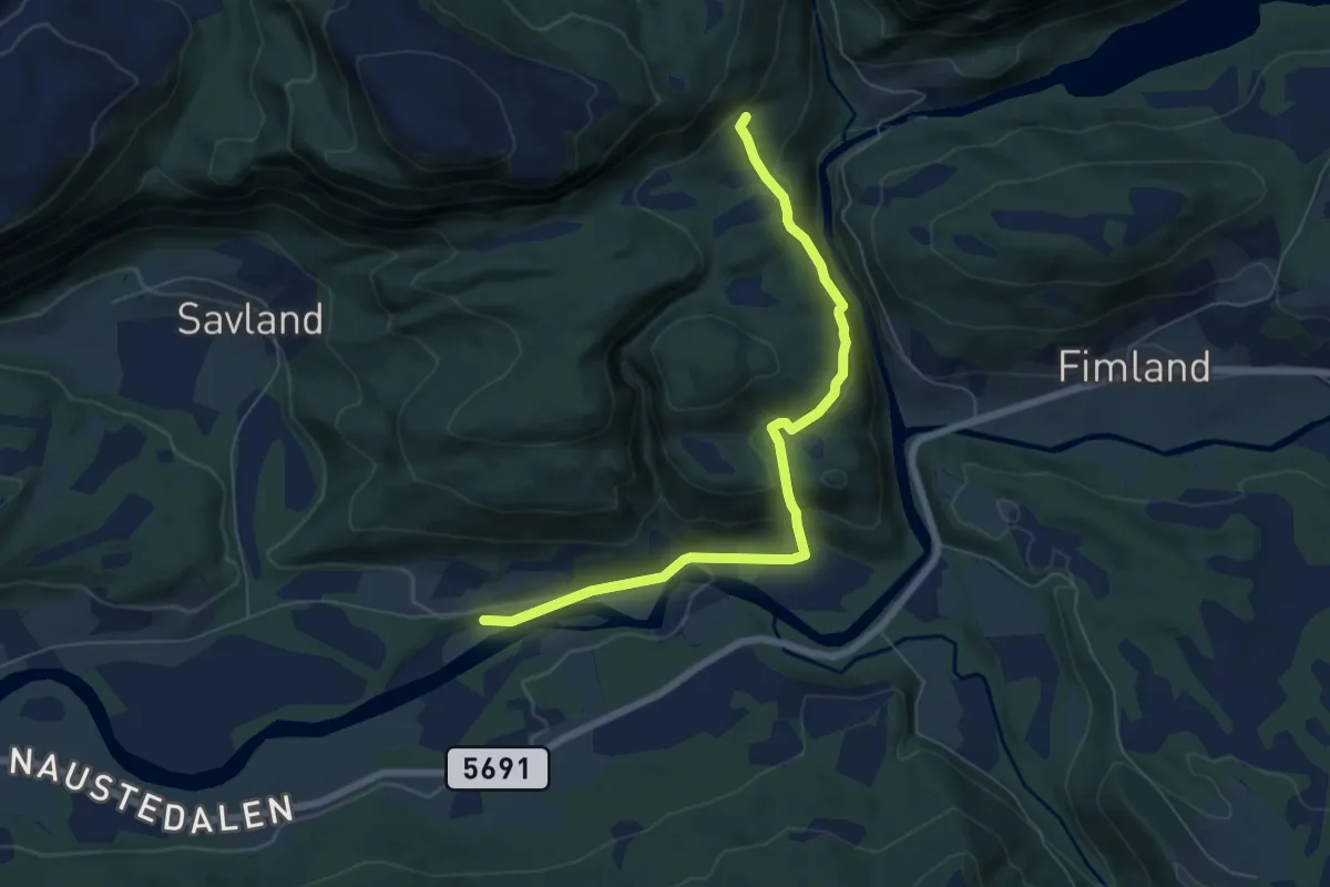
Easy · Trail
Slettemark - Ørnefjellet
4.7 km · ↑ 203 m · 1 h 33 min
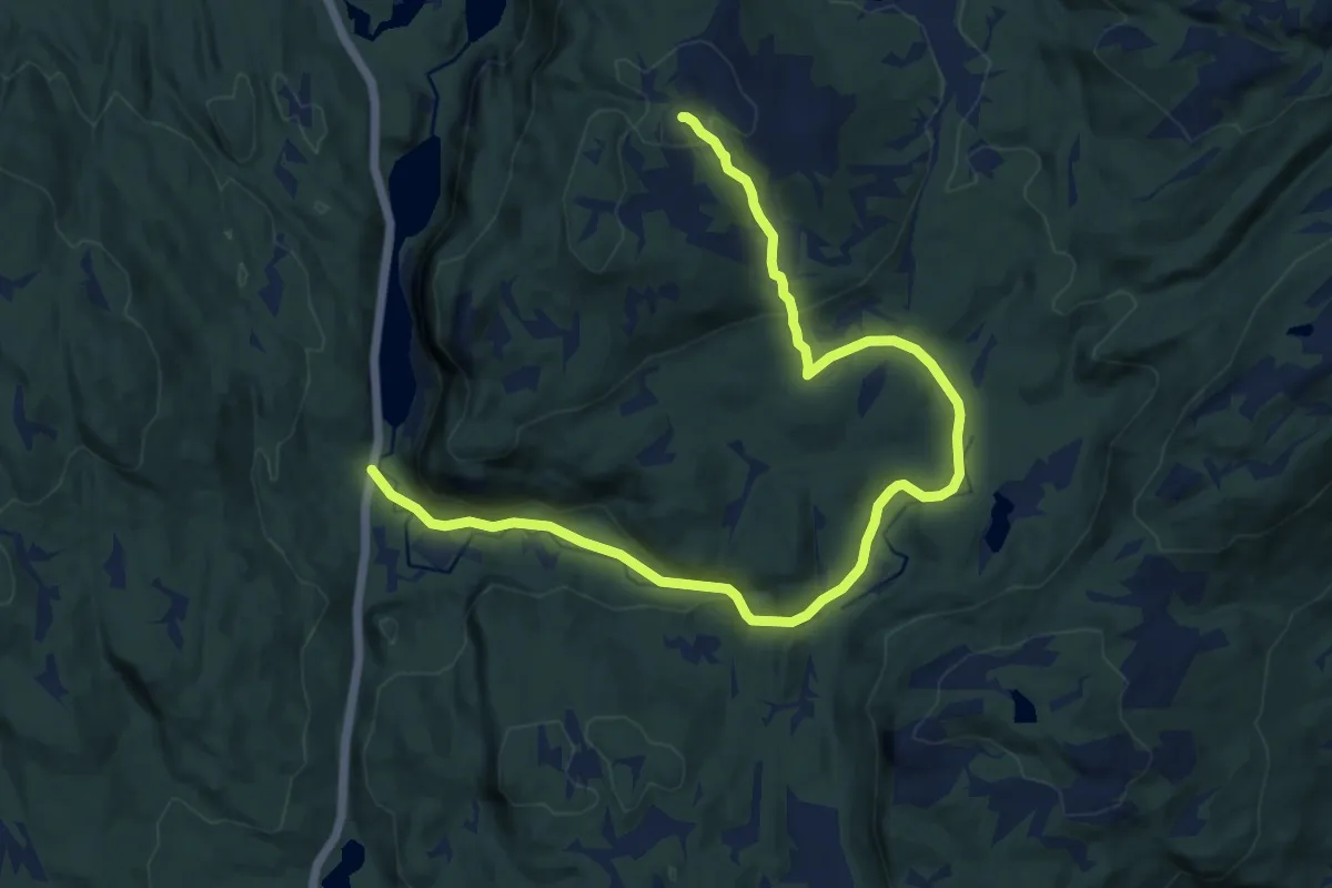
Medium · Trail
Slettfjellet
8.4 km · ↑ 272 m · 2 h 35 min
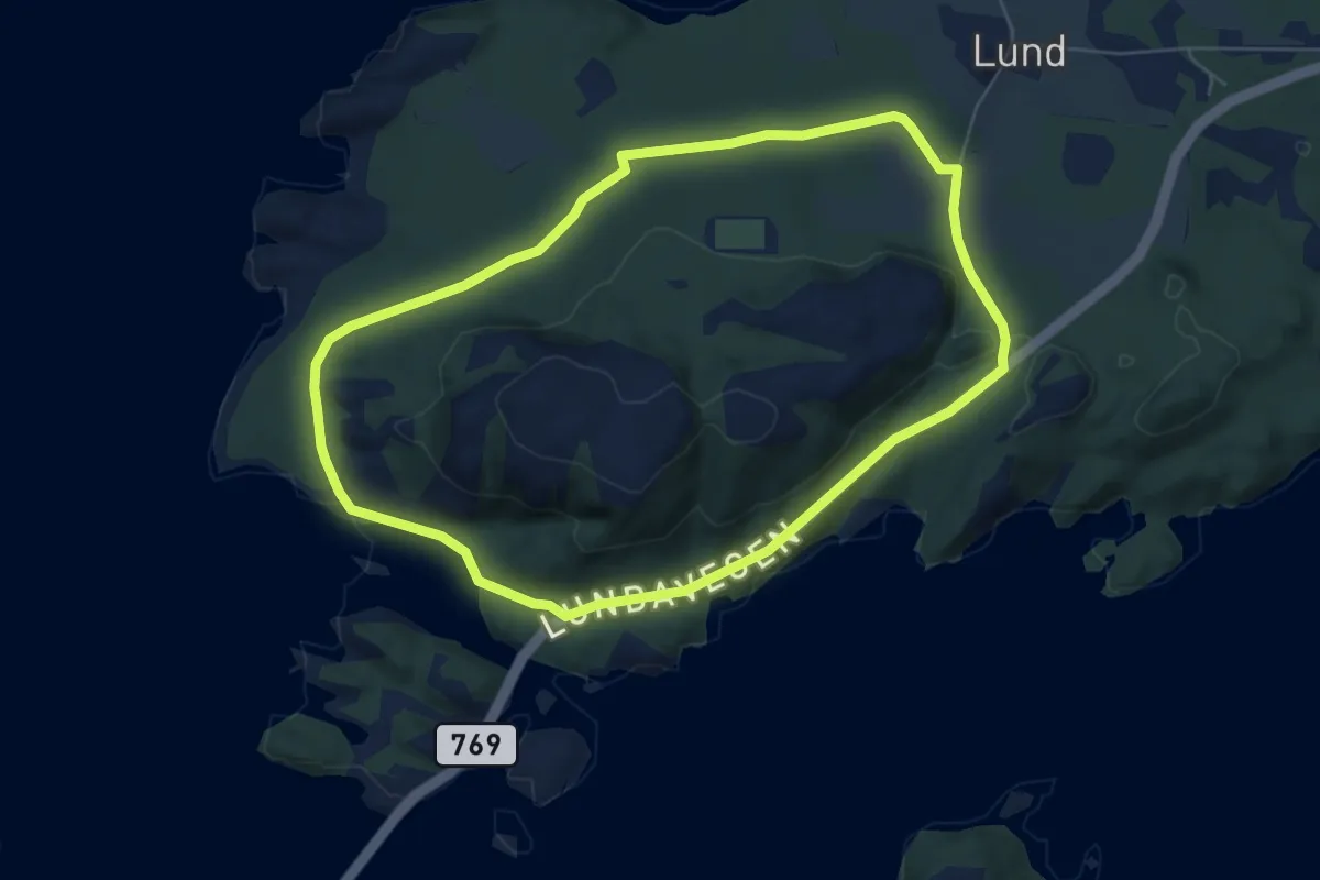
Easy · Trail
Slettfjellet rundt
7.6 km · ↑ 96 m · 2 h
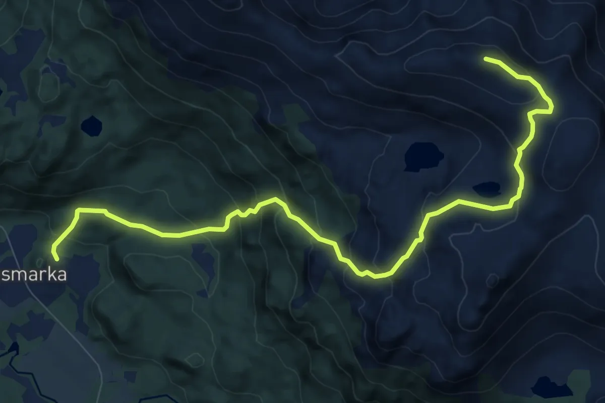
Medium · Trail
Slettheia langs Tverrelva
6.0 km · ↑ 530 m · 2 h 34 min
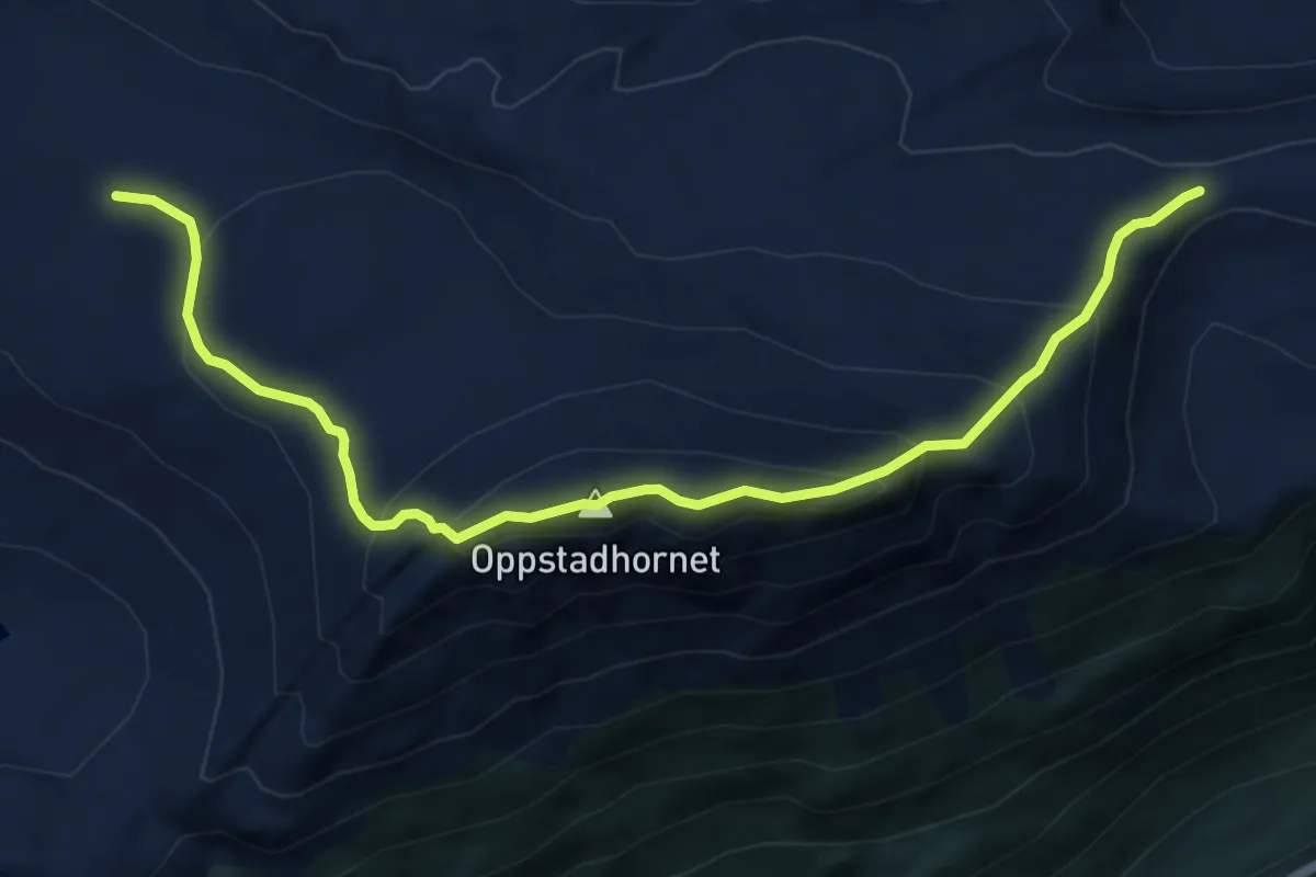
Medium · Trail
Slettheia-Opstadhornet-Kyrabotnen
4.7 km · ↑ 374 m · 1 h 55 min
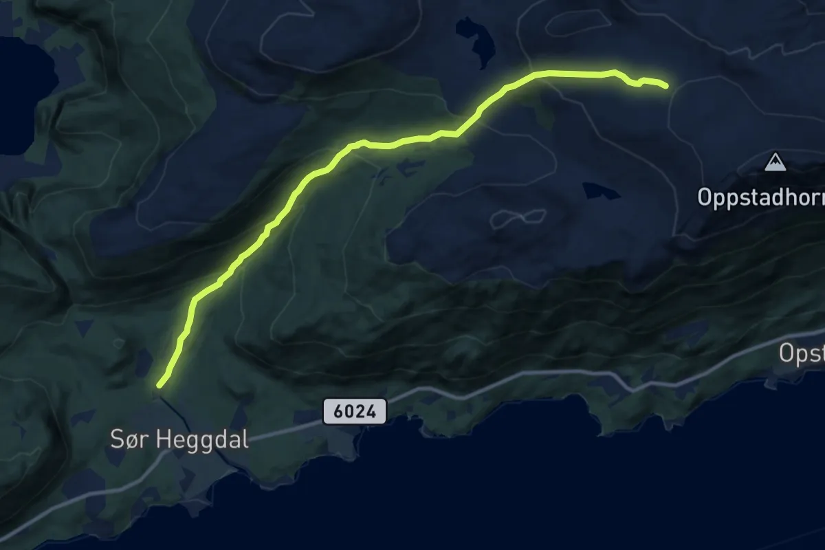
Medium · Trail
Slettheia - Sør-Heggdal
8.0 km · ↑ 569 m · 3 h 7 min
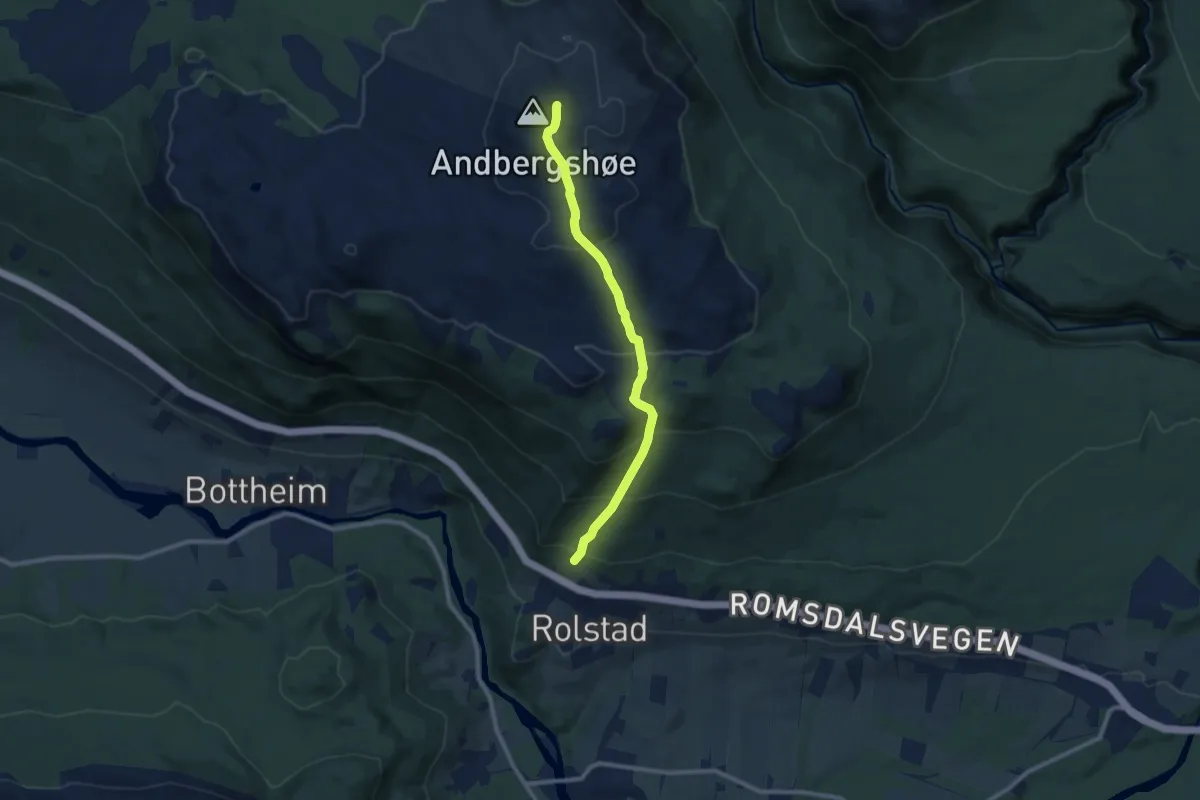
Medium · Trail
Slettmodrogje
6.1 km · ↑ 485 m · 2 h 29 min
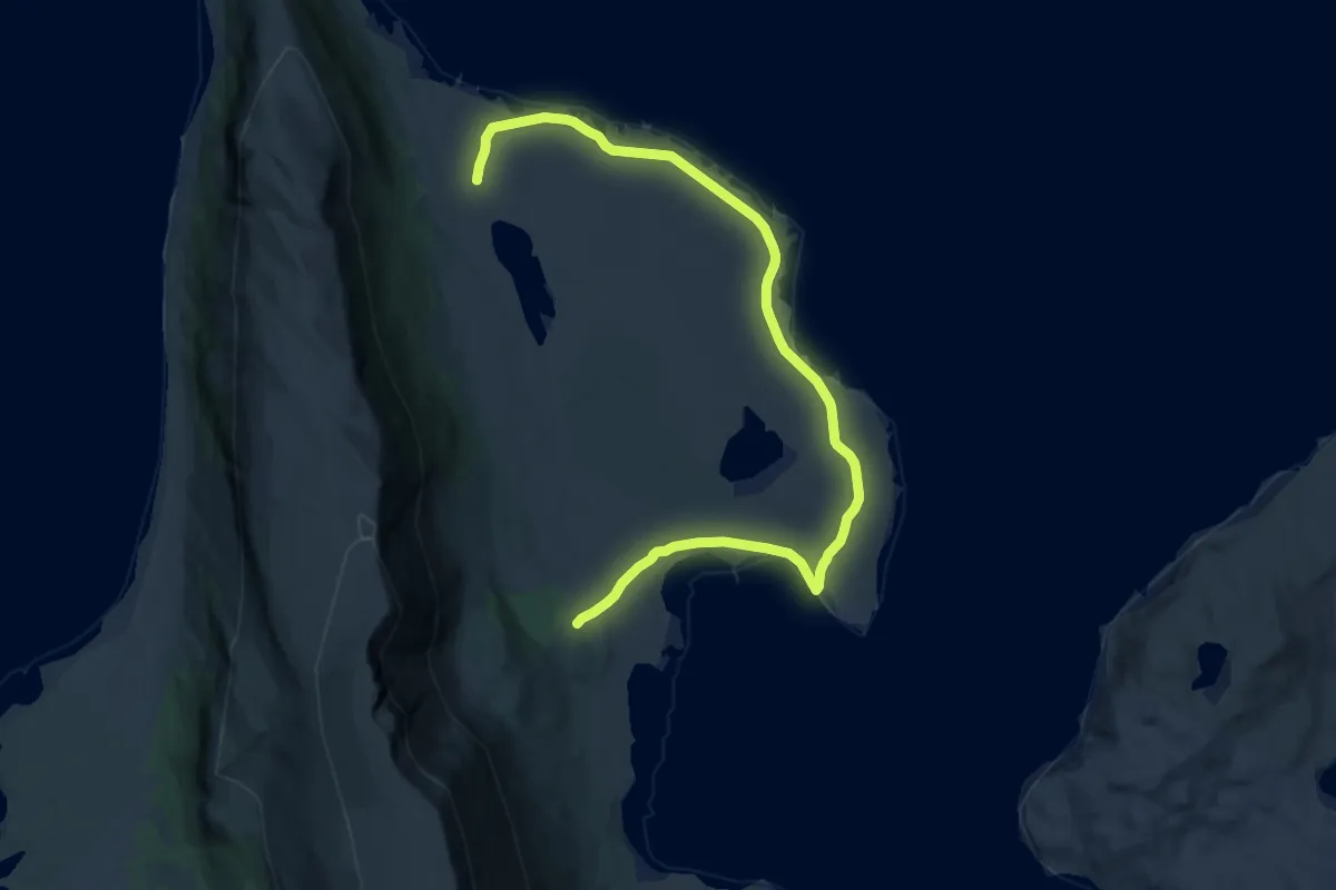
Medium · Trail
Slettnes rundt
11.0 km · ↑ 44 m · 2 h 41 min
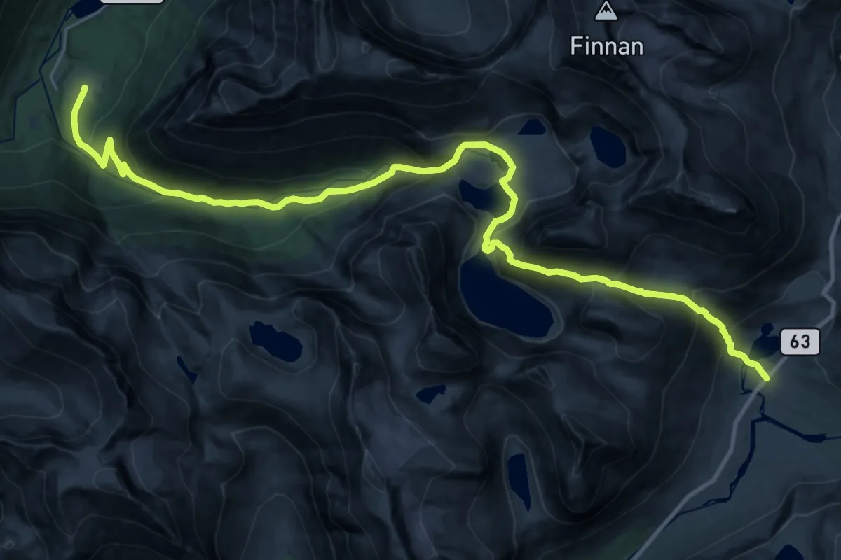
Medium · Trail
Slettvikane
11.5 km · ↑ 548 m · 4 h 21 min
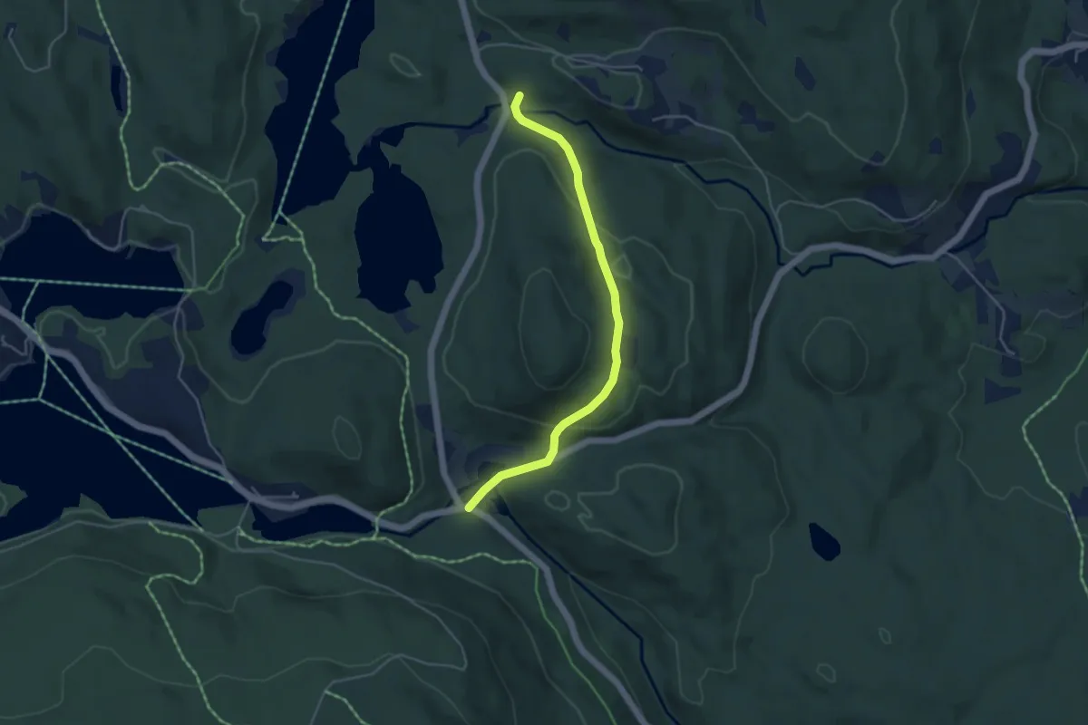
Easy · Trail
Sliperiet - Knippa - Svea
3.1 km · ↑ 119 m · 59 min
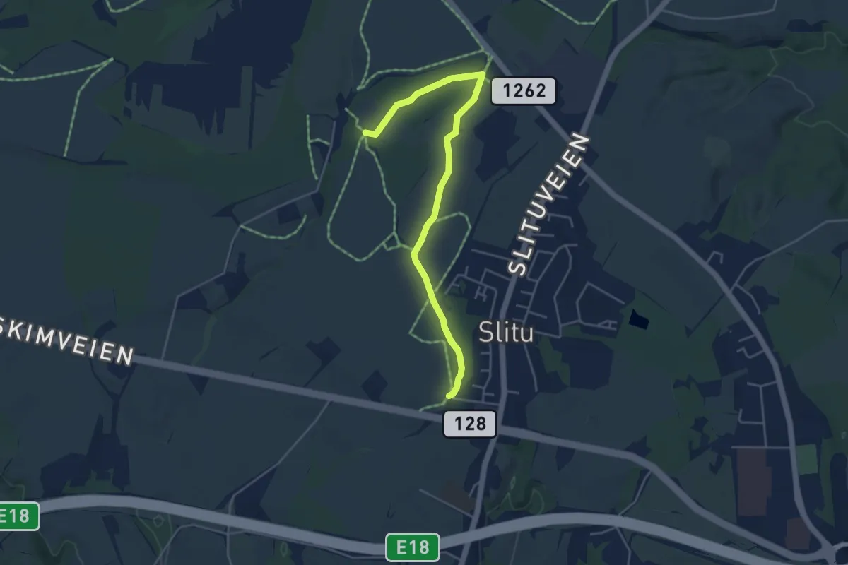
Easy · Trail
Slitu - Rudsmosen
3.5 km · ↑ 8 m · 50 min
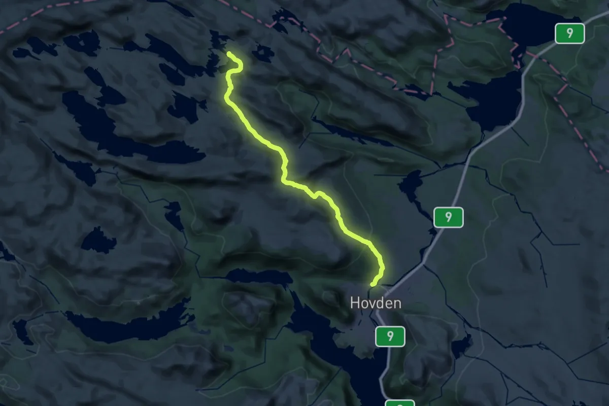
Demanding · Cabin
Sloaros
25.6 km · ↑ 850 m · 7 h 53 min
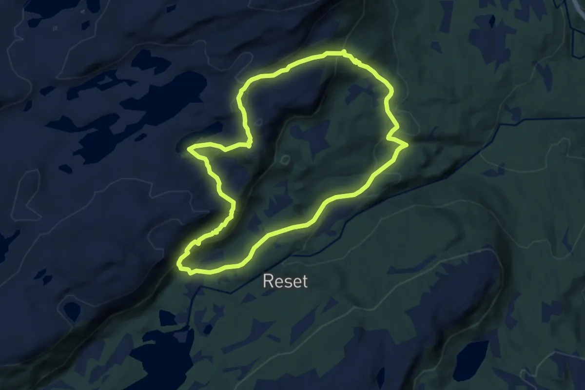
Medium · Trail
Sloko - Vesle Holmevann
11.6 km · ↑ 481 m · 3 h 47 min
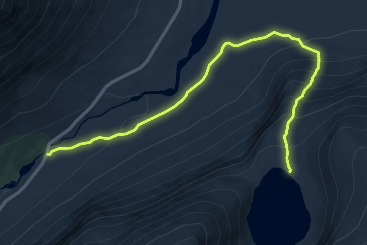
Medium · Trail
Slufsekoppen
5.9 km · ↑ 395 m · 2 h 15 min
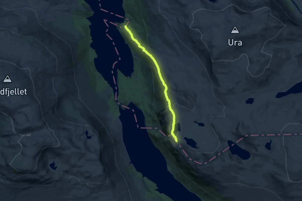
Demanding · Trail
Slumpan
8.6 km · ↑ 504 m · 3 h 7 min