Trails in Norway
7,452 hiking trails, each with its route, climb, walking time and grade.
All trails, page 93 of 156
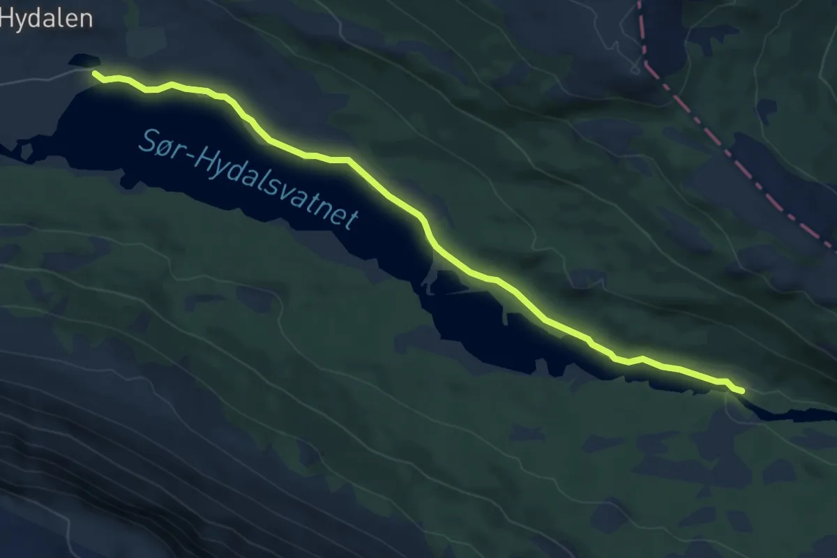
Easy · Trail
Sør-Hydalsvatnet
5.6 km · ↑ 0 m · 1 h 19 min
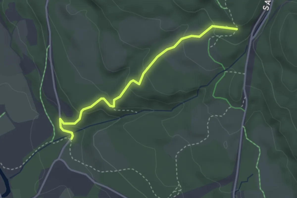
Easy · Trail
Sørkedalen_Finnerud
2.2 km · ↑ 140 m · 49 min
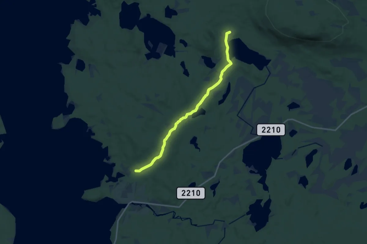
Medium · Trail
Sorken til Tolgevollen
8.0 km · ↑ 111 m · 2 h 7 min
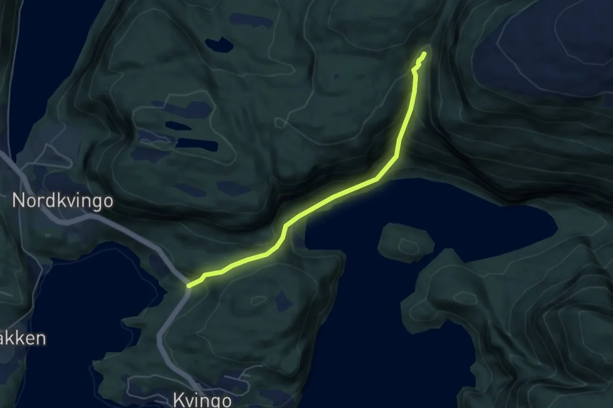
Medium · Trail
Sørkvingevatnet
3.4 km · ↑ 331 m · 1 h 32 min
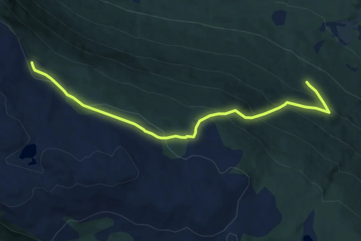
Easy · Trail
Sørligrenda - Liasætre
8.0 km · ↑ 498 m · 2 h 59 min
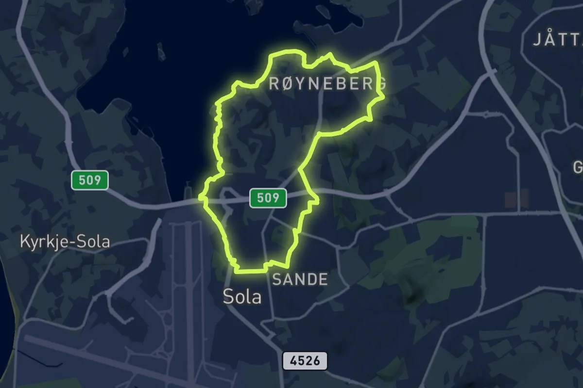
Easy · Trail
Sørnesturen
18.0 km · ↑ 182 m · 4 h 38 min
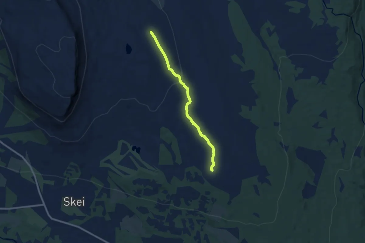
Medium · Trail
Sør-Skei til Torsdalen
4.4 km · ↑ 65 m · 1 h 11 min
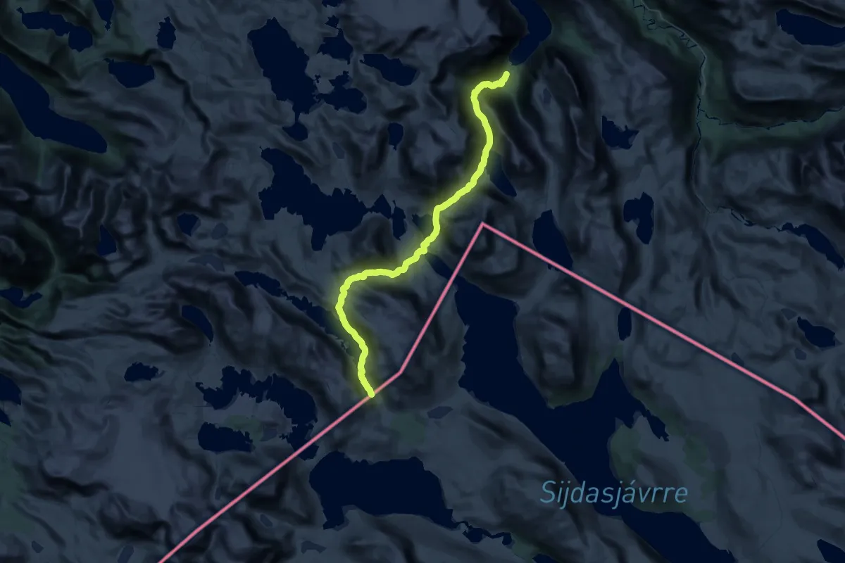
Demanding · Trail
Sørskjomen - Sitashytta
23.8 km · ↑ 1282 m · 8 h 21 min
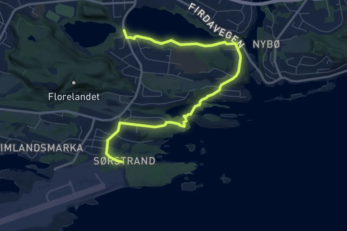
Medium · Trail
Sørstrand Folkepark
6.1 km · ↑ 52 m · 1 h 34 min
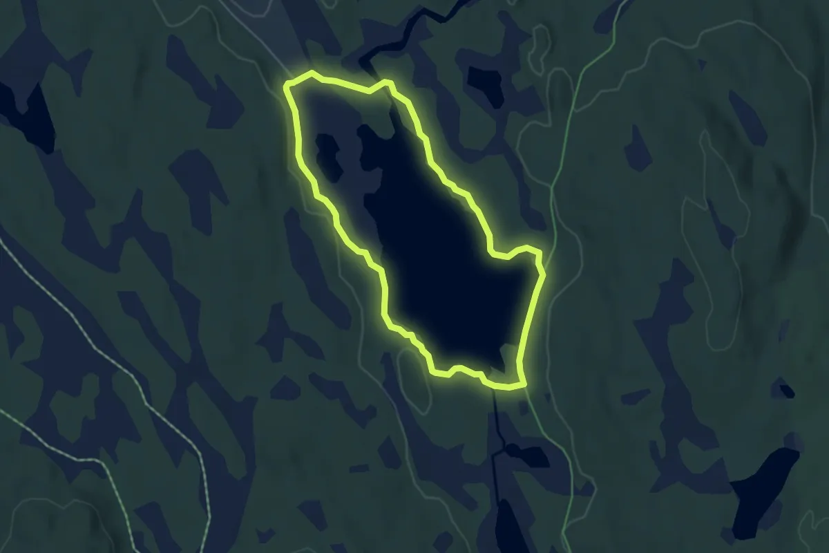
Medium · Trail
Sorten
6.5 km · ↑ 9 m · 1 h 33 min
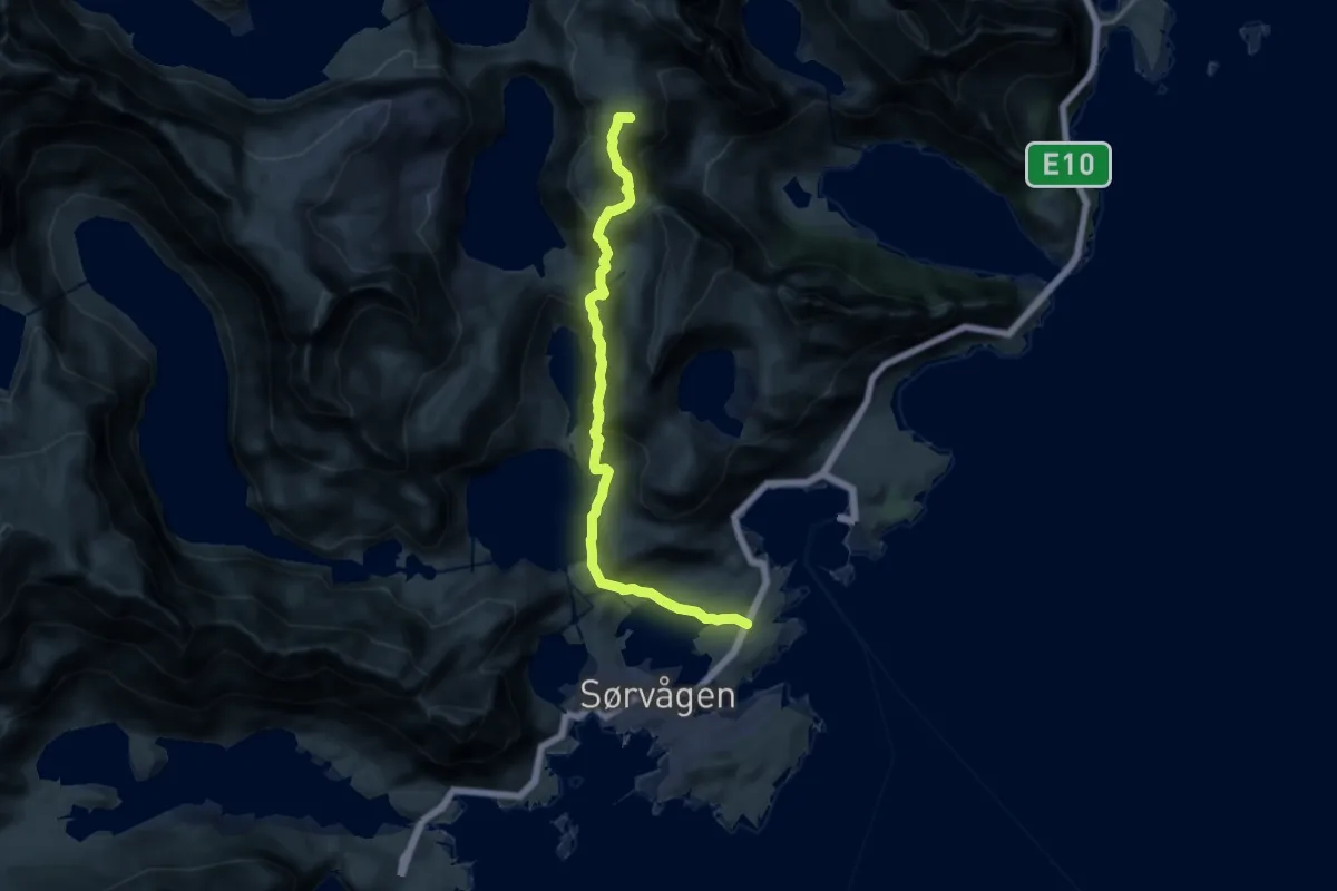
Expert · Summit
Sørvågen - Munkebu
9.1 km · ↑ 574 m · 3 h 23 min
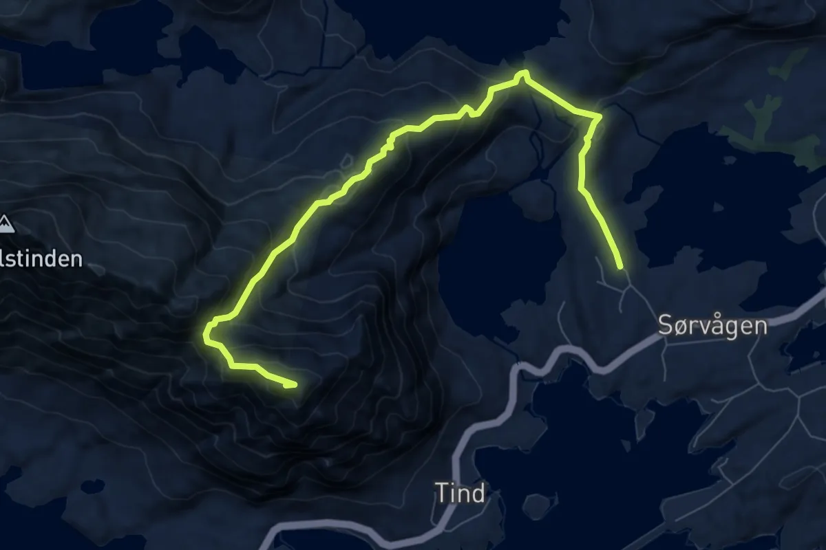
Medium · Trail
Sørvågen - Tindstinden
5.1 km · ↑ 476 m · 2 h 13 min
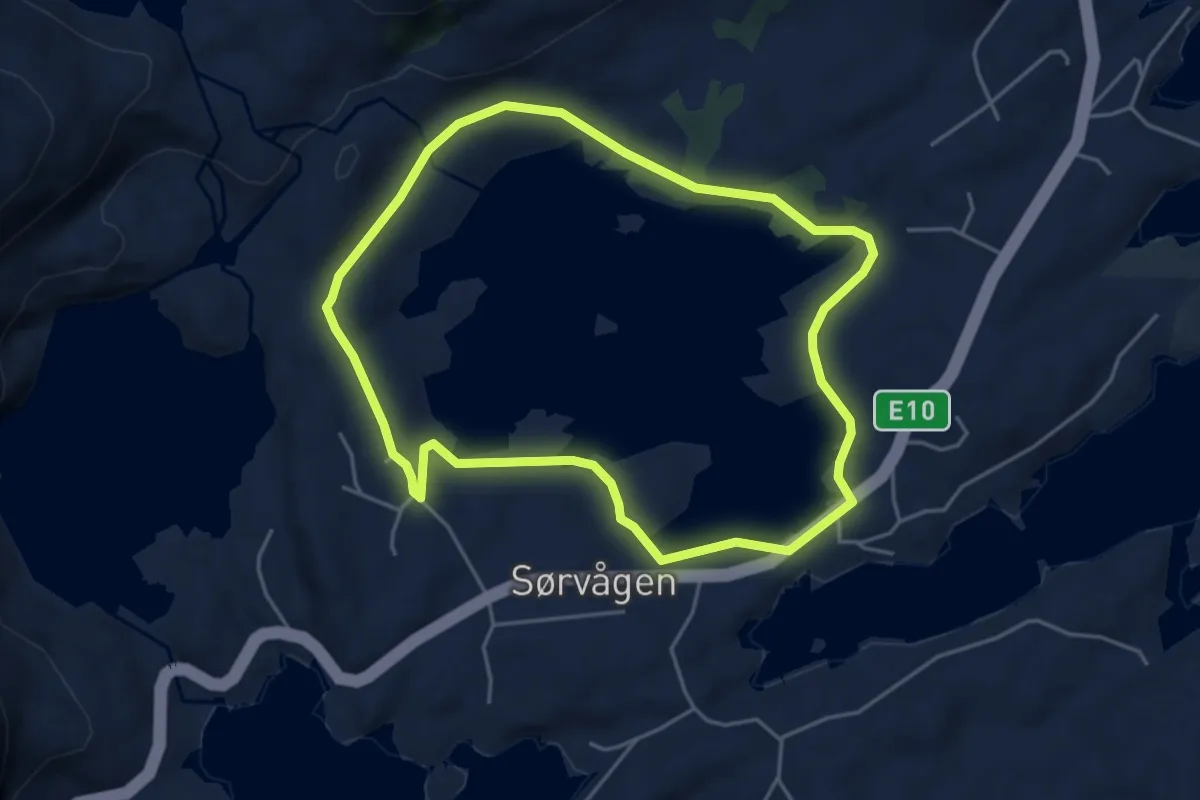
Easy · Trail
Sørvågvatnet rundt
4.9 km · ↑ 37 m · 1 h 14 min
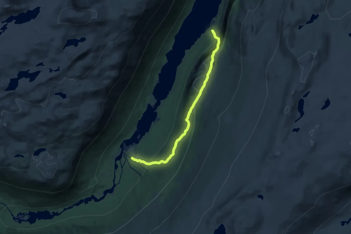
Demanding · Trail
Sota-Brennsætre
11.4 km · ↑ 649 m · 4 h 6 min
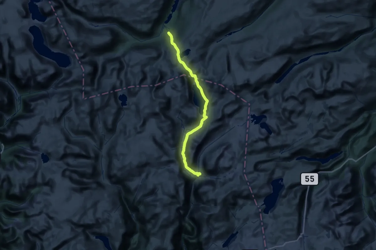
Demanding · Cabin
Sota - Nørdstedalseter om Illvatnet
23.0 km · ↑ 1009 m · 7 h 53 min
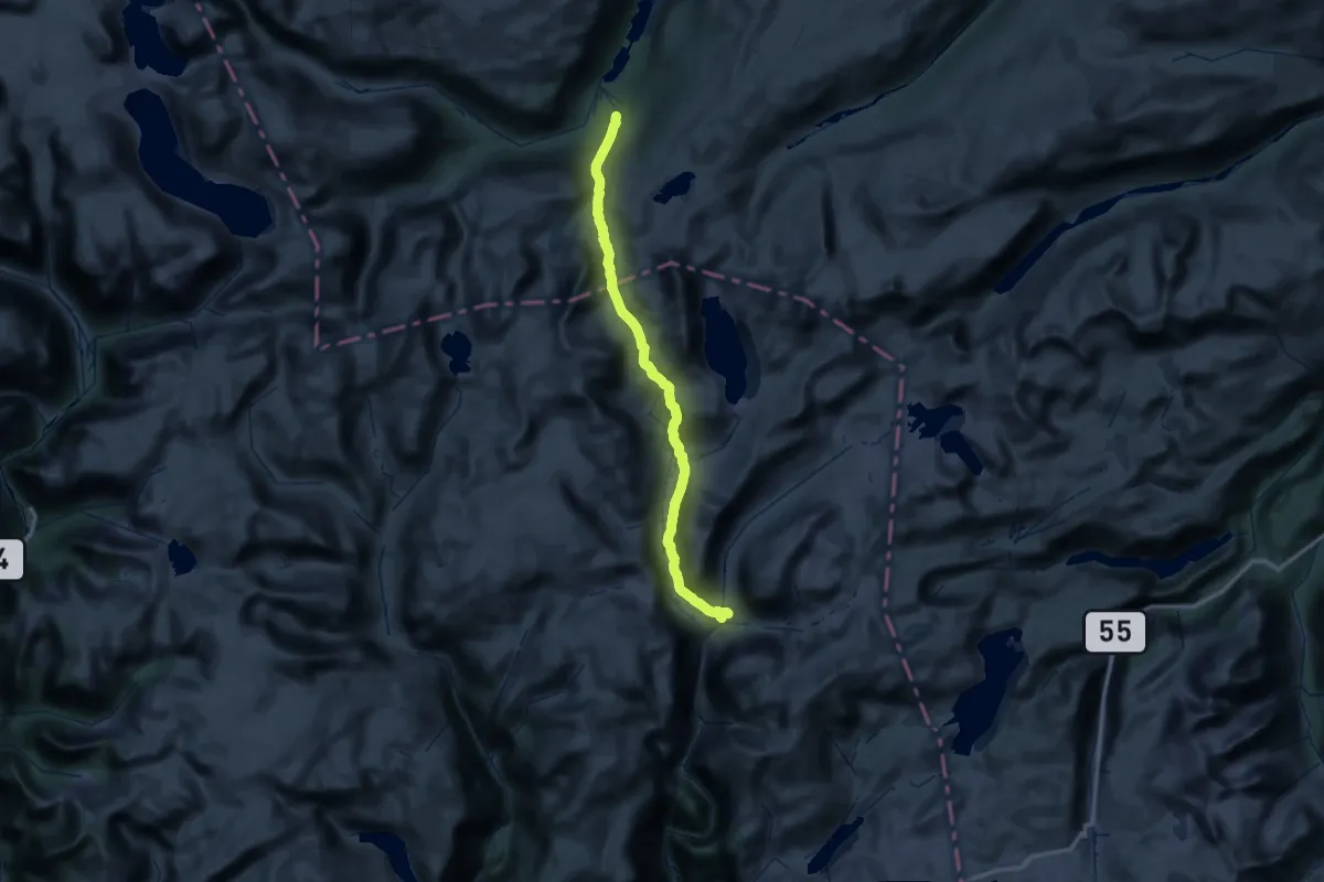
Expert · Cabin
Sota - Nørdstedalseter over Fortundalsbreen
21.1 km · ↑ 874 m · 7 h 8 min
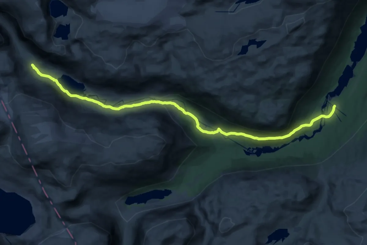
Demanding · Cabin
Sota - Slæom
28.2 km · ↑ 509 m · 7 h 46 min
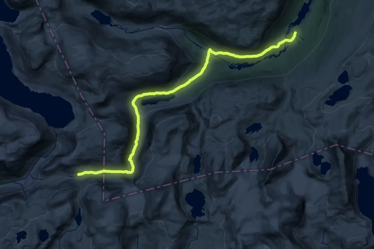
Demanding · Cabin
Sota - Sprongdalshytta
18.1 km · ↑ 774 m · 5 h 56 min
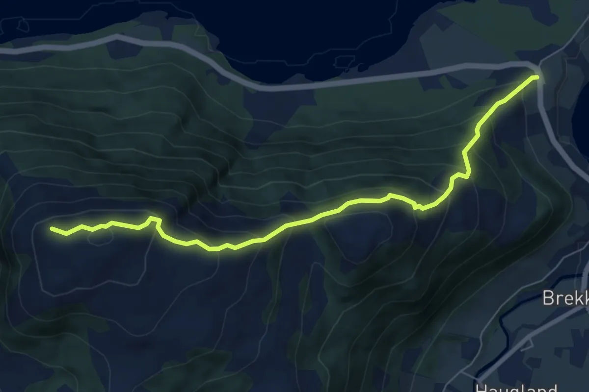
Medium · Trail
Søtekollen
4.9 km · ↑ 536 m · 2 h 19 min
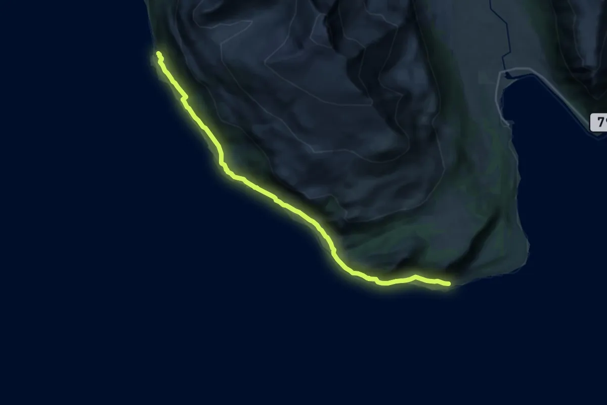
Medium · Trail
Sotnes
10.6 km · ↑ 170 m · 2 h 52 min
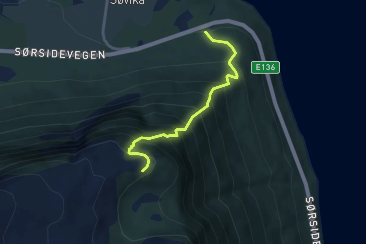
Medium · Trail
Søviksetra
2.8 km · ↑ 457 m · 1 h 39 min
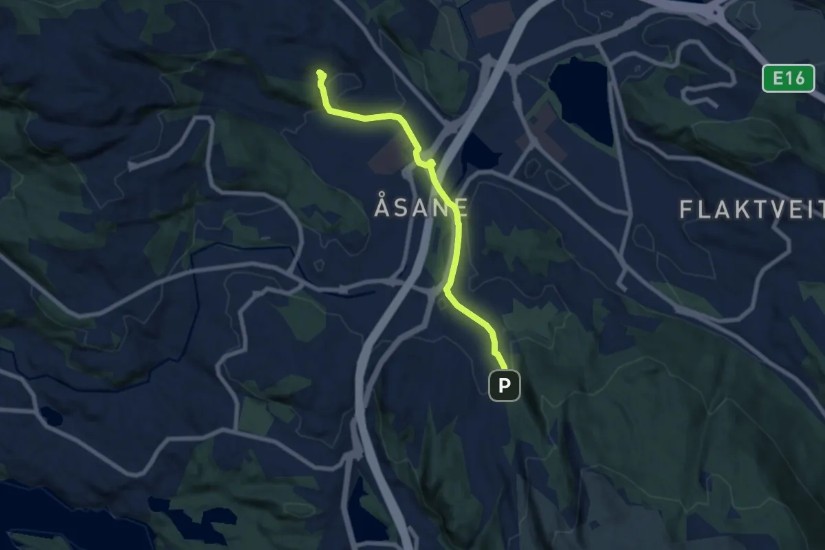
Easy · Trail
Søylen - Rolland
4.6 km · ↑ 38 m · 1 h 10 min
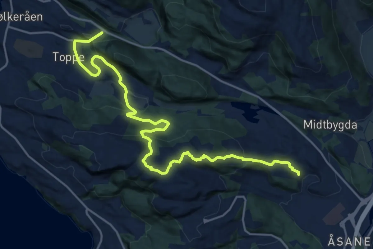
Medium · Trail
Søylen - Rolland
10.4 km · ↑ 524 m · 3 h 35 min
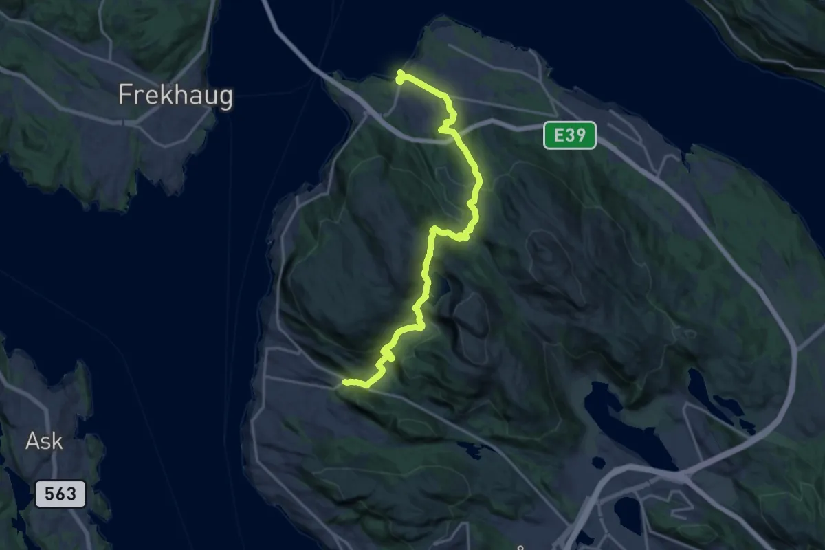
Medium · Trail
Søylen - Rolland
12.8 km · ↑ 641 m · 4 h 24 min
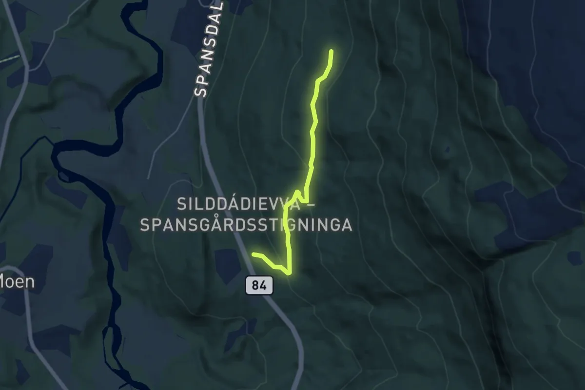
Medium · Trail
Spansgårdsstigninga
2.1 km · ↑ 110 m · 45 min
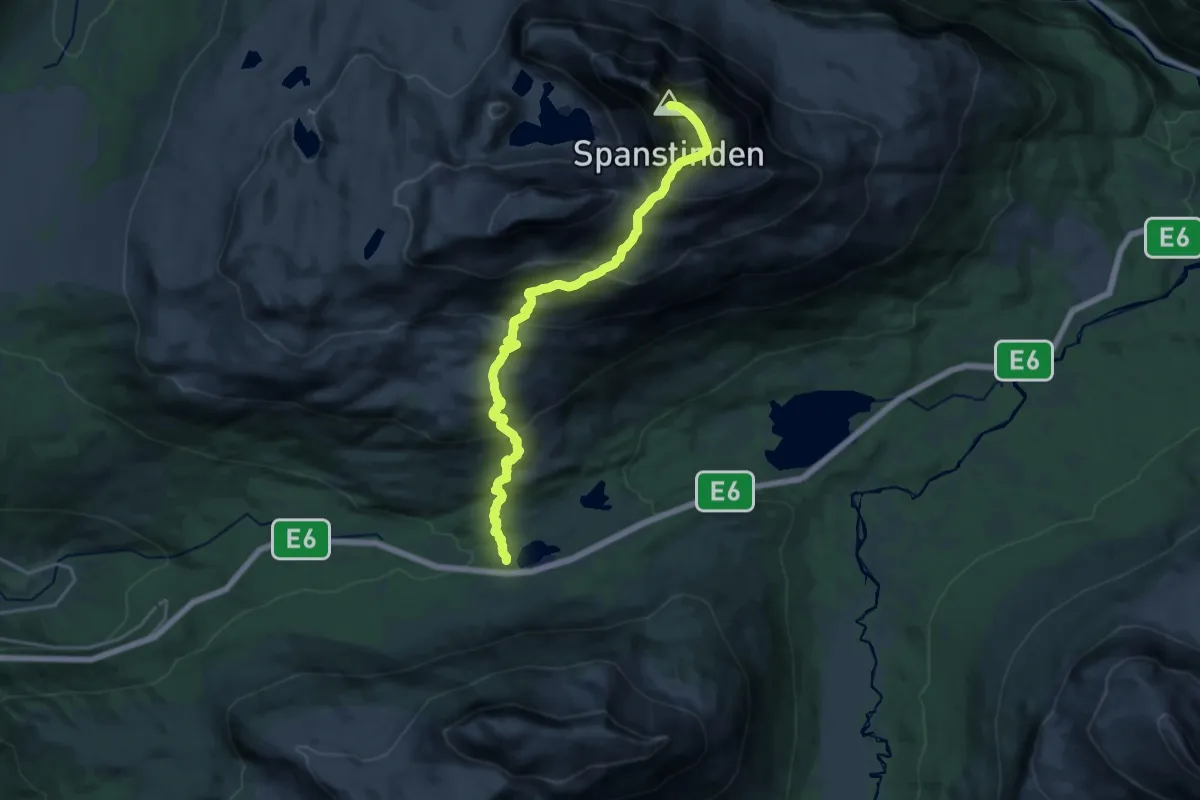
Expert · Trail
Spanstinden
11.1 km · ↑ 1021 m · 4 h 50 min
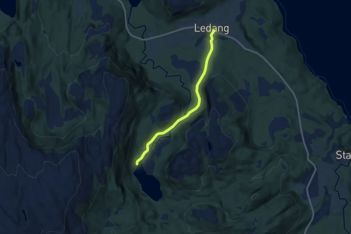
Medium · Trail
Sparlivatnet
4.3 km · ↑ 98 m · 1 h 13 min
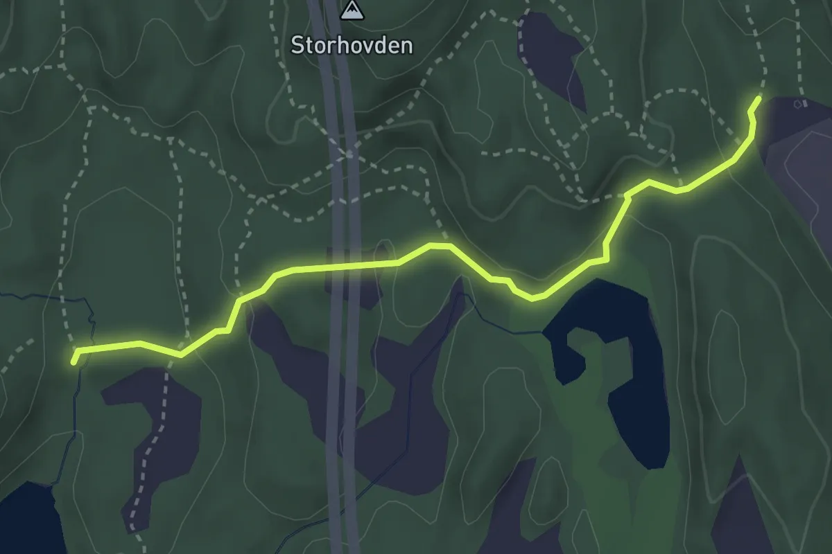
Easy · Trail
Spelhaugen Bjørnadalsvatnet
2.4 km · ↑ 94 m · 46 min
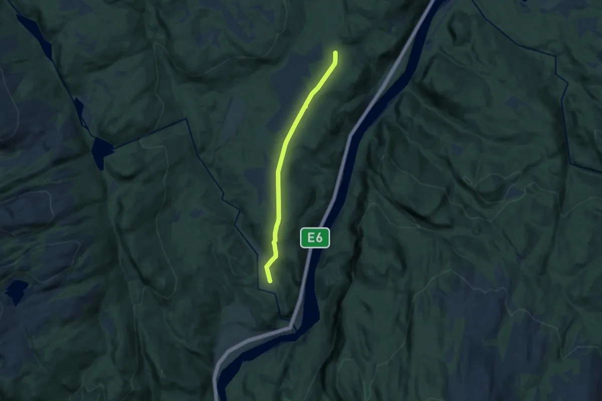
Easy · Trail
Spennmyra
5.7 km · ↑ 100 m · 1 h 33 min
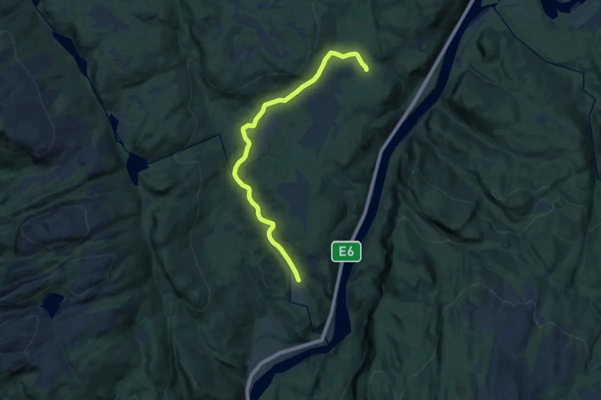
Medium · Trail
Spennmyra
8.3 km · ↑ 82 m · 2 h 8 min
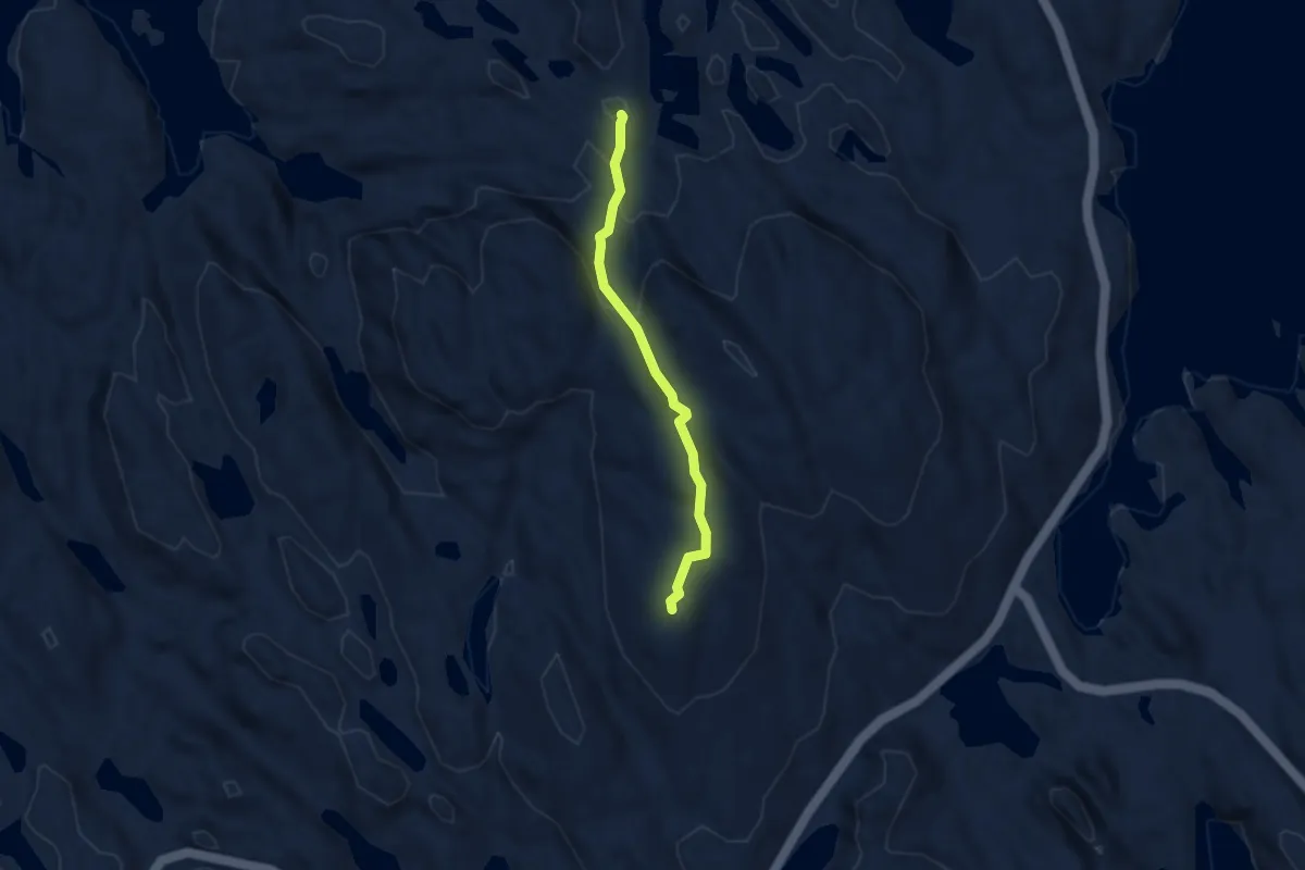
Medium · Trail
Sperrefjellet - Nordsjøløypa
2.1 km · ↑ 100 m · 43 min
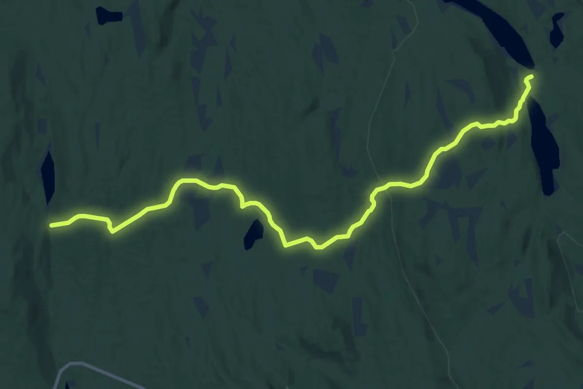
Medium · Trail
Spikern
17.7 km · ↑ 421 m · 5 h 6 min
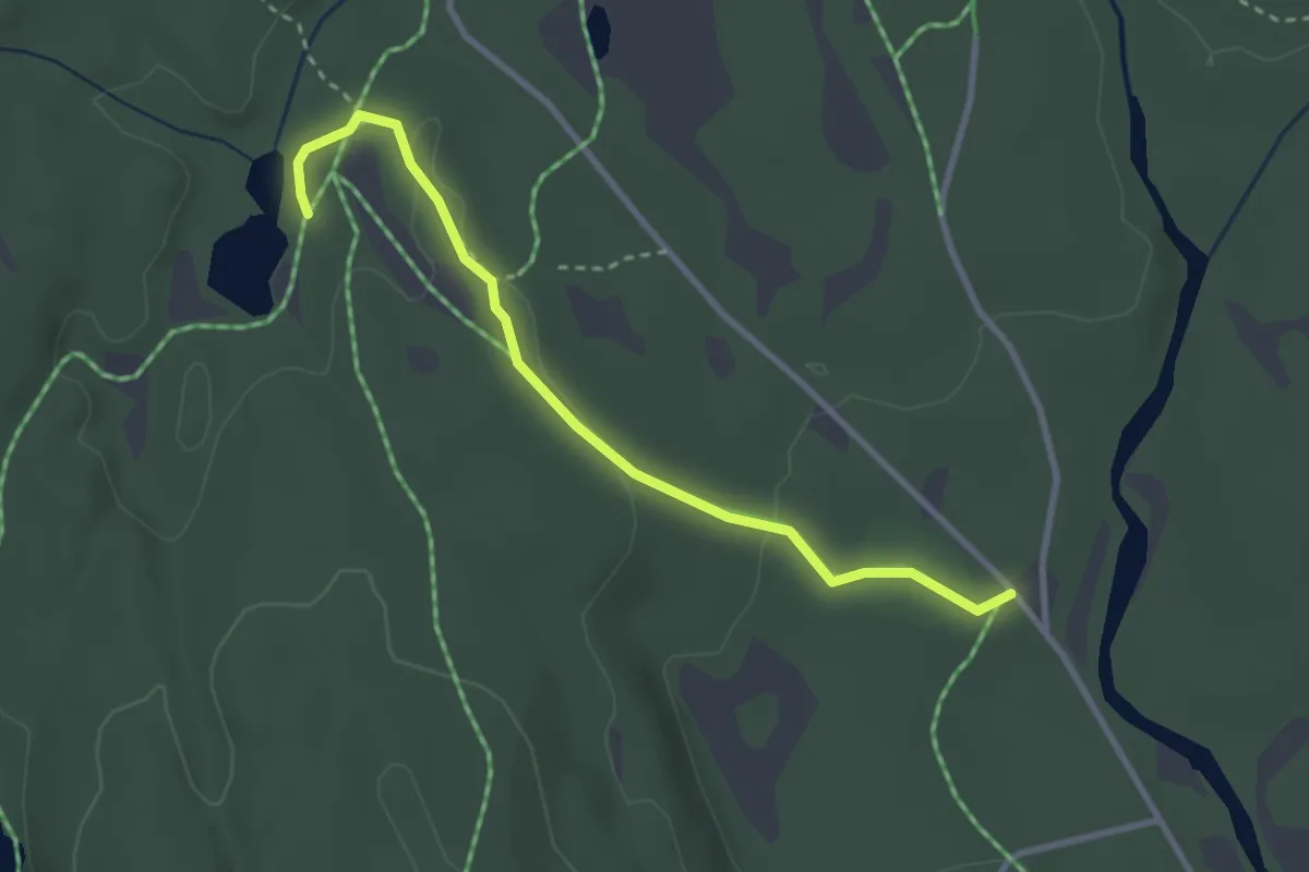
Easy · Trail
Spikertjernhytta-Kokstadvangen
2.2 km · ↑ 27 m · 34 min
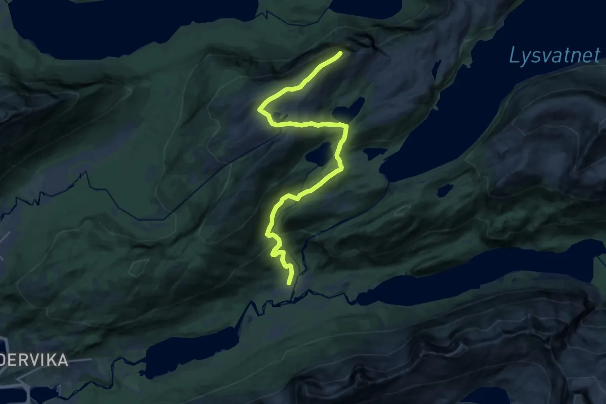
Medium · Trail
Spilderdalen-Svartvasshamran
11.8 km · ↑ 579 m · 4 h 2 min
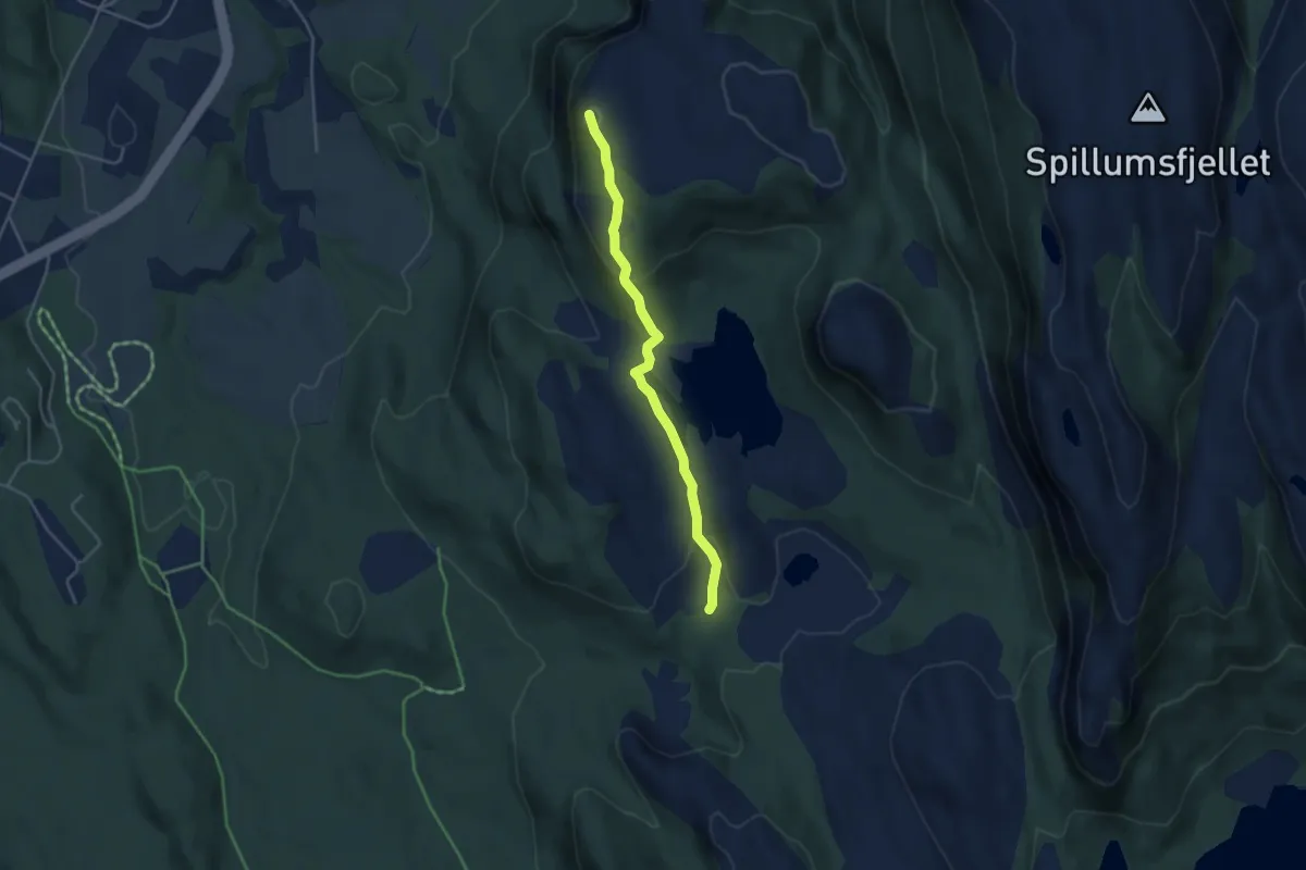
Medium · Trail
Spillumsaksla
2.4 km · ↑ 104 m · 47 min
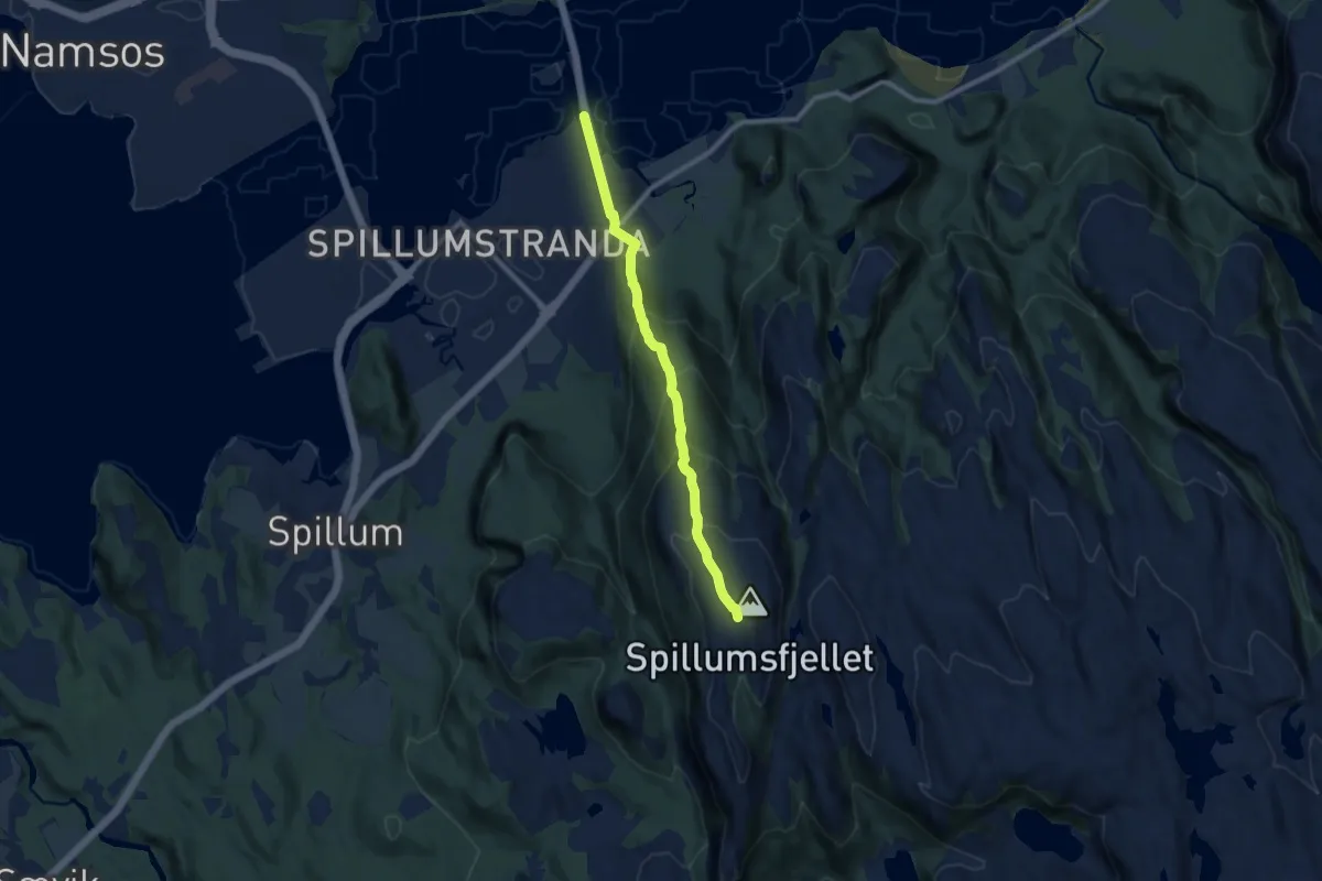
Medium · Trail
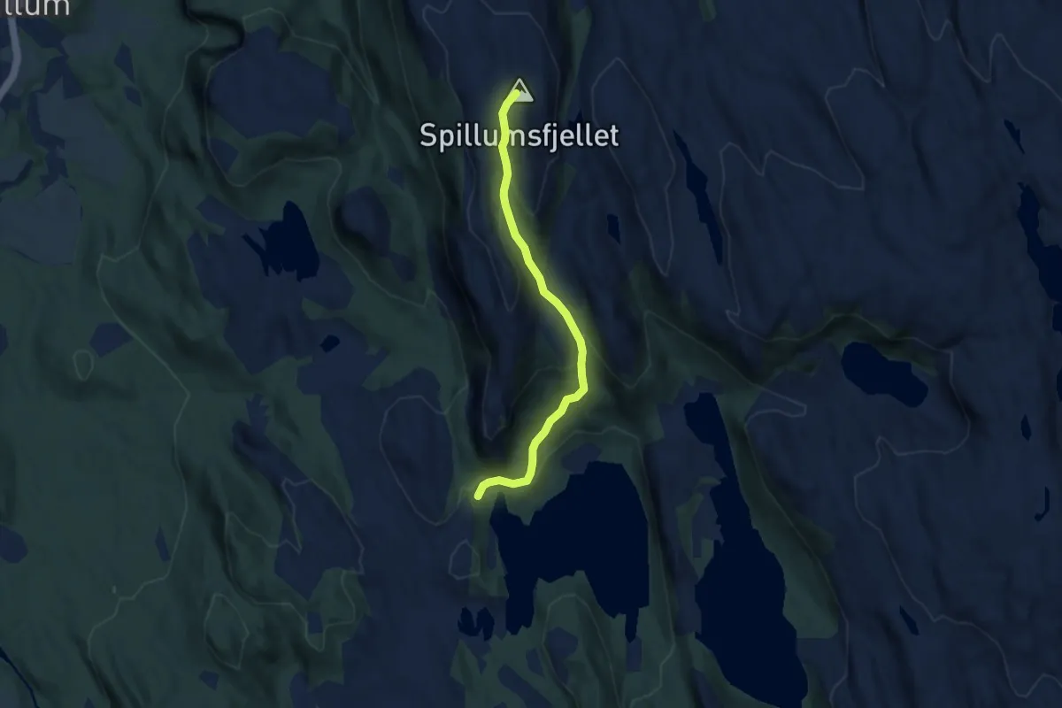
Spillumsfjellet
5.3 km · ↑ 432 m · 2 h 12 min
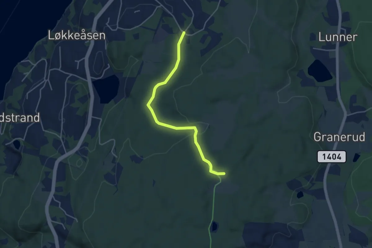
Easy · Trail
Spillumsvatnet-Dummolfjellet
3.9 km · ↑ 250 m · 1 h 28 min
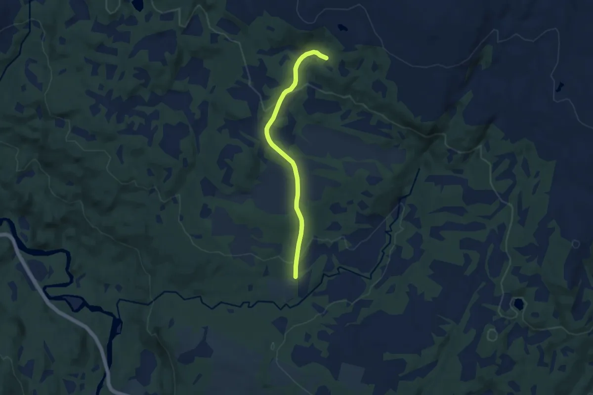
Easy · Trail
Spirebakke - Fjellstrand
2.7 km · ↑ 57 m · 46 min
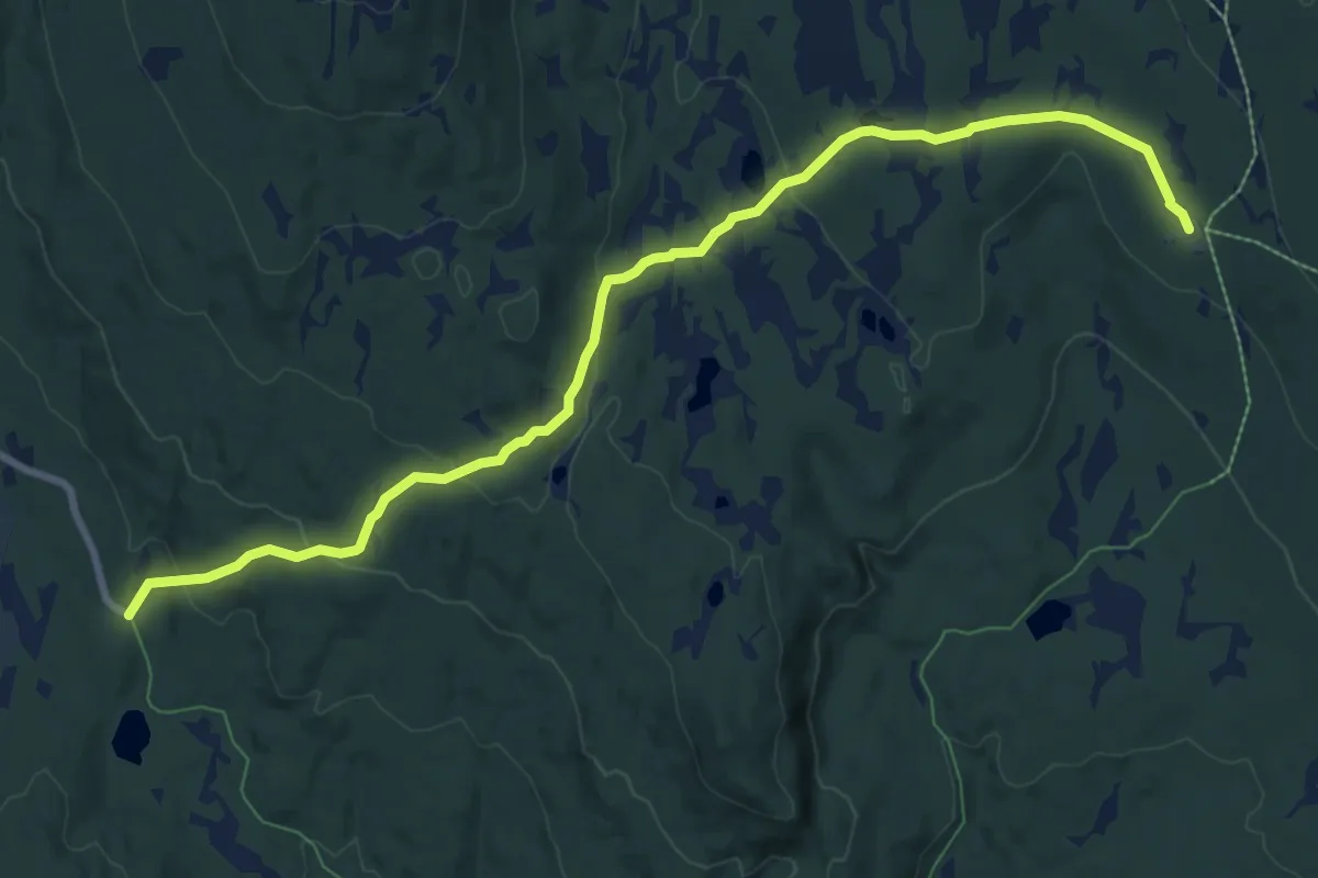
Easy · Trail
Spjeldberget
4.9 km · ↑ 154 m · 1 h 29 min
Easy · Cabin
Spjeldset - Øvre Fjellstul
7.2 km · ↑ 251 m · 2 h 15 min
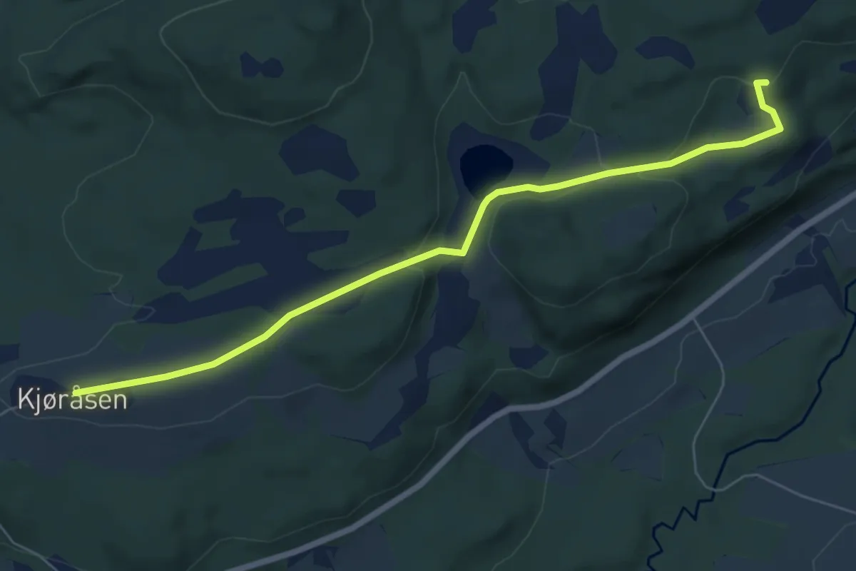
Easy · Trail
Spøltrøa
4.3 km · ↑ 75 m · 1 h 11 min
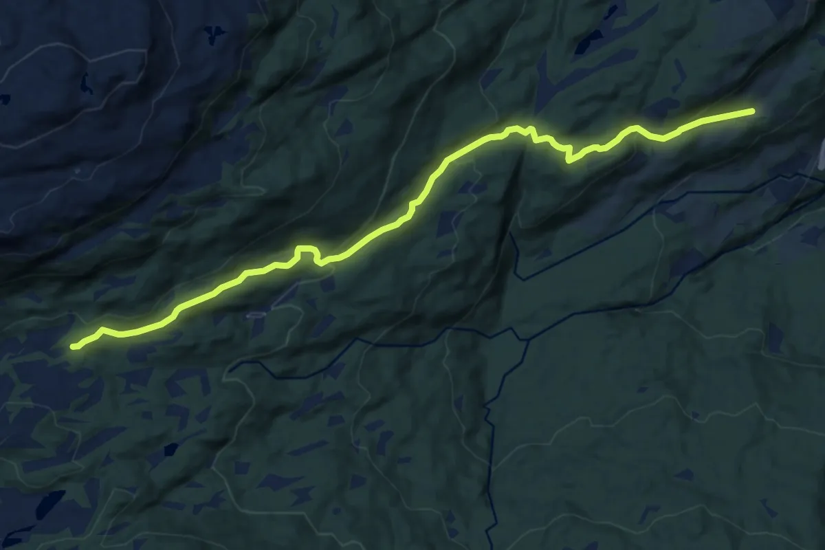
Medium · Trail
Sponheim - Angelskleiv
8.9 km · ↑ 386 m · 2 h 56 min
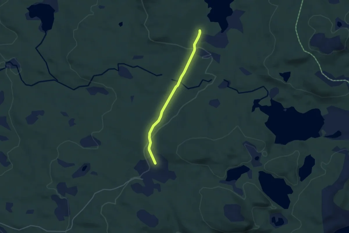
Easy · Trail
Spor 015
2.4 km · ↑ 63 m · 42 min
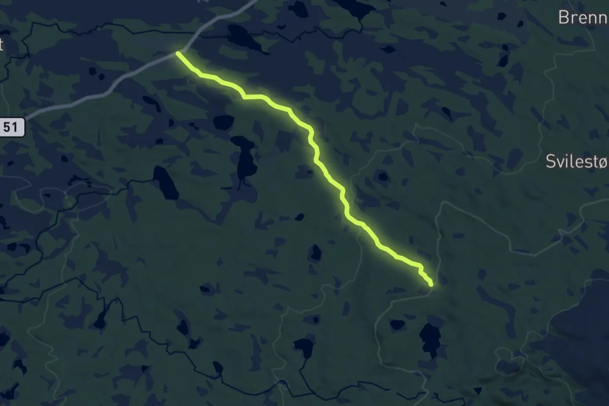
Medium · Trail
Spor 023
8.5 km · ↑ 150 m · 2 h 20 min
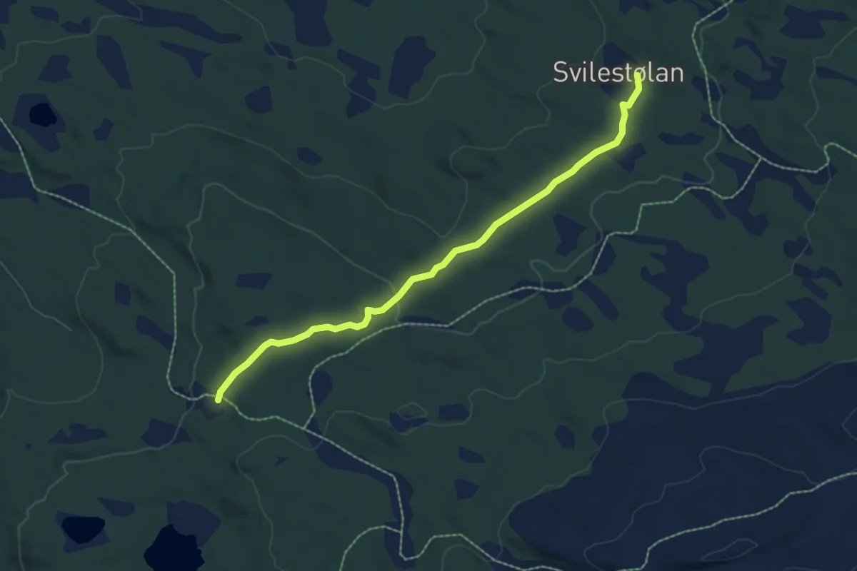
Easy · Trail
Spor 026
4.7 km · ↑ 128 m · 1 h 23 min
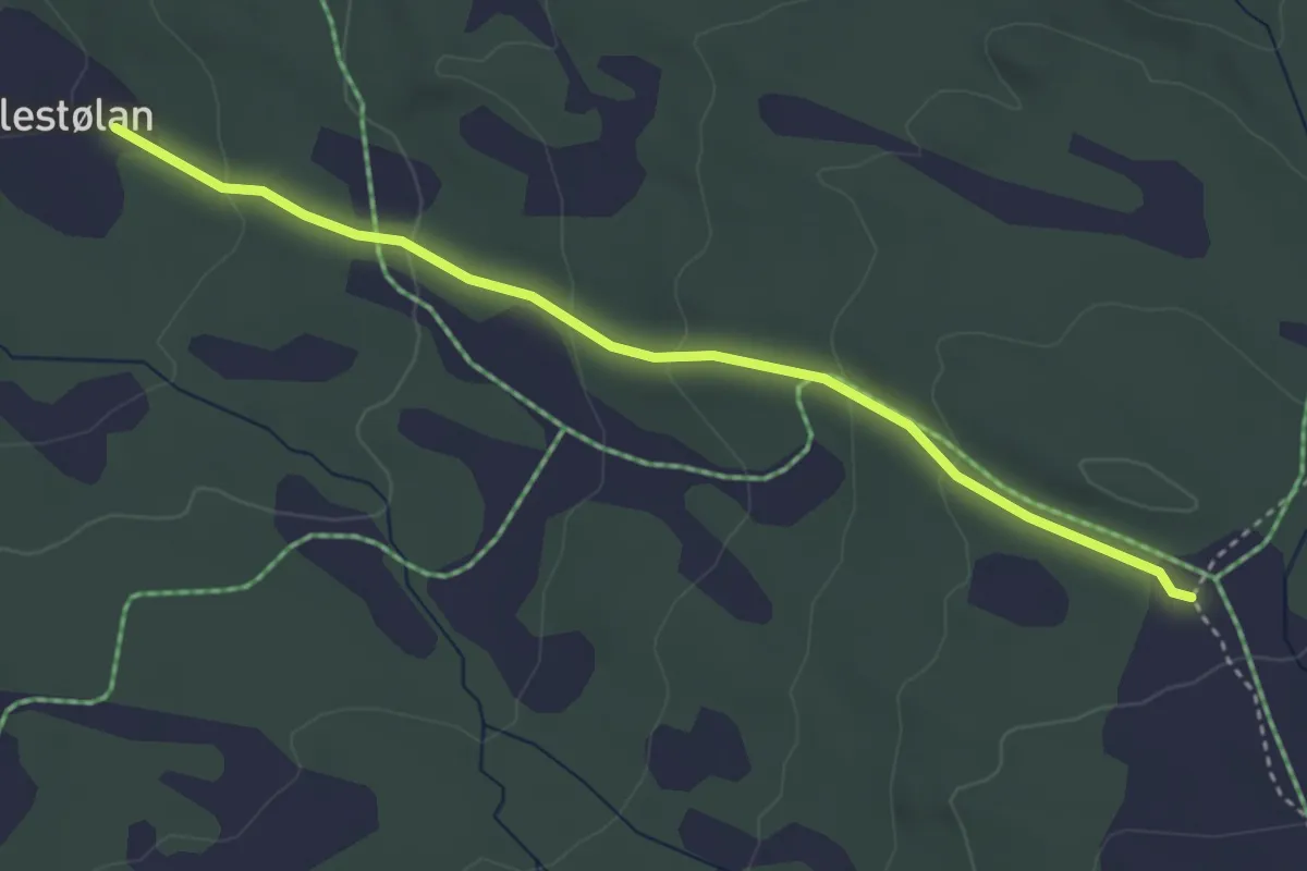
Easy · Trail
Spor 027
2.7 km · ↑ 129 m · 54 min
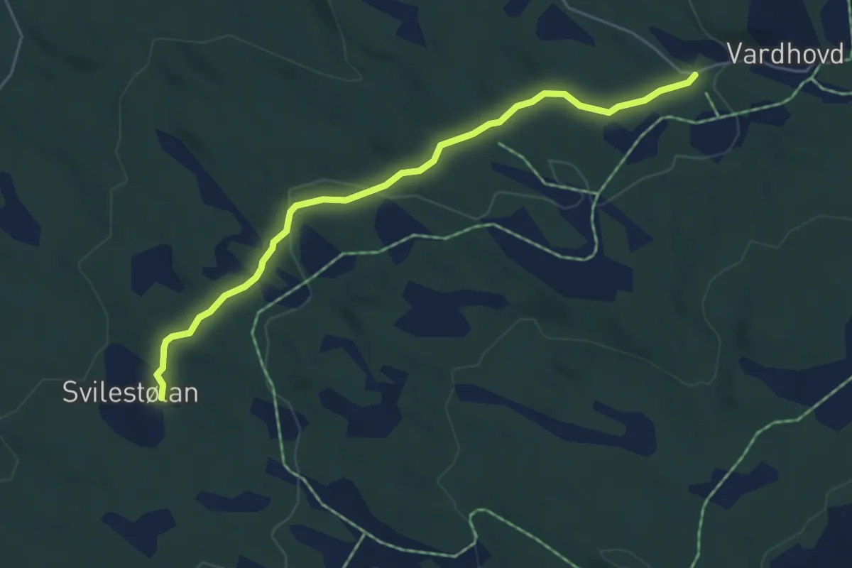
Easy · Trail
Spor 028
3.5 km · ↑ 82 m · 1 h
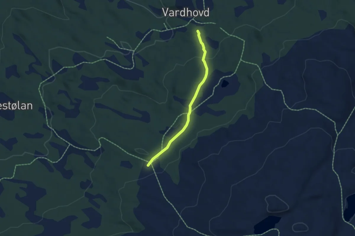
Easy · Trail
Spor 030
2.8 km · ↑ 71 m · 49 min