Trails in Poland
2,886 hiking trails, each with its route, climb, walking time and grade.
All trails, page 25 of 61
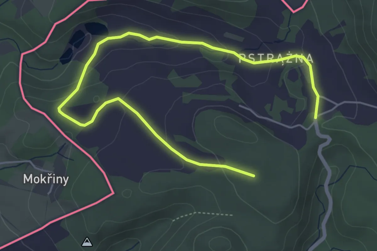
Easy · Cabin
Pstrążna - Pstrążna-las
6.0 km · ↑ 180 m · 1 h 49 min
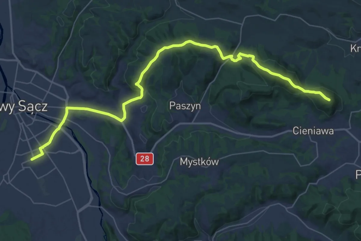
Demanding · Summit
Ptaszkowa PKP - Nowy Sącz PKP
32.8 km · ↑ 893 m · 9 h 41 min
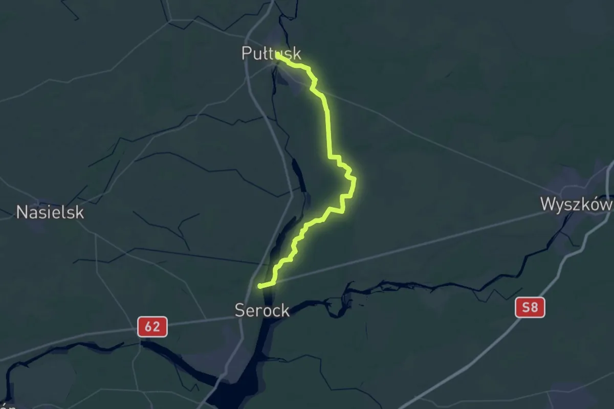
Demanding · Trail
Pułtusk, Rynek - Wierzbica - rondo, PKS
29.6 km · ↑ 105 m · 7 h 37 min
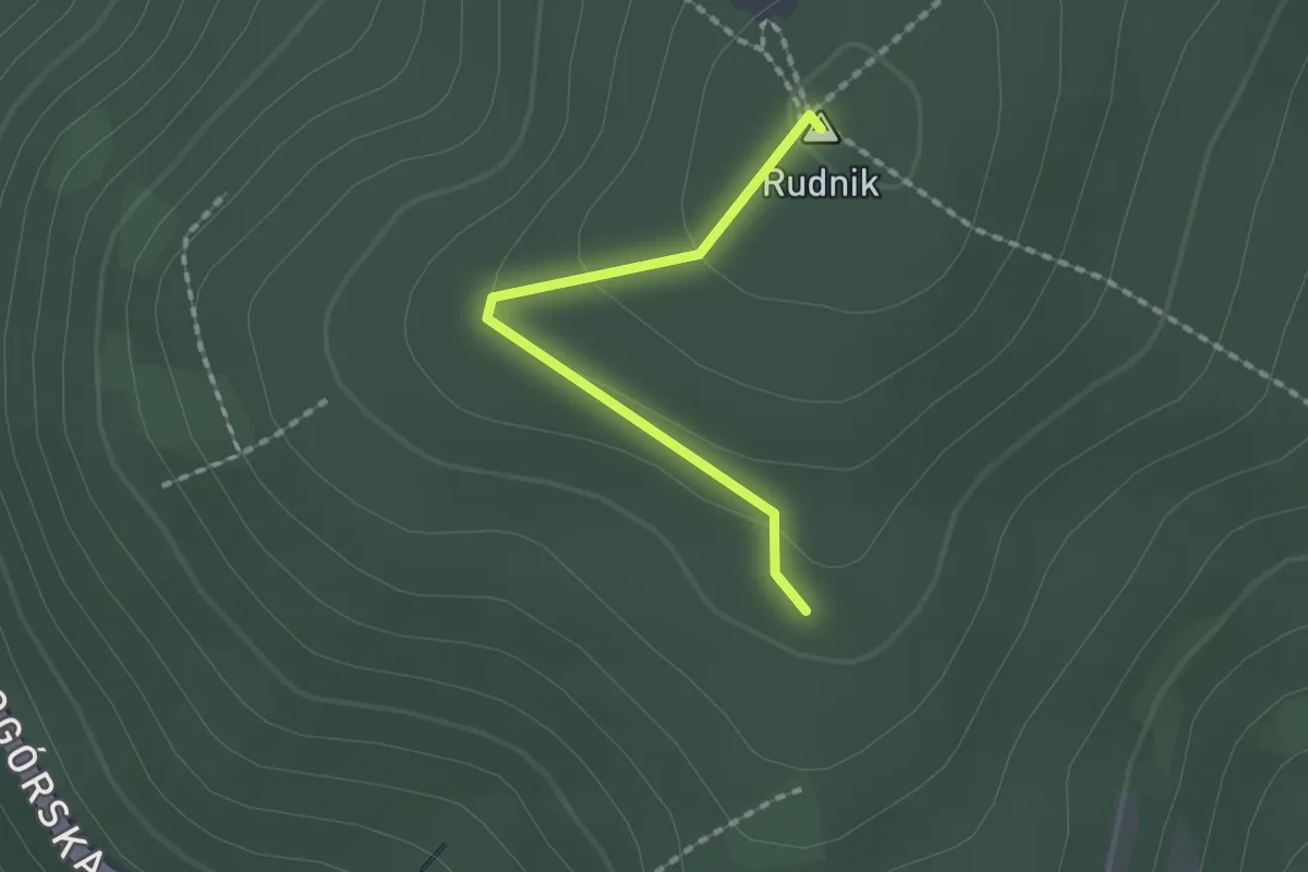
Easy · Summit
Punkt Widokowy Rudnik
1.4 km · ↑ 51 m · 27 min
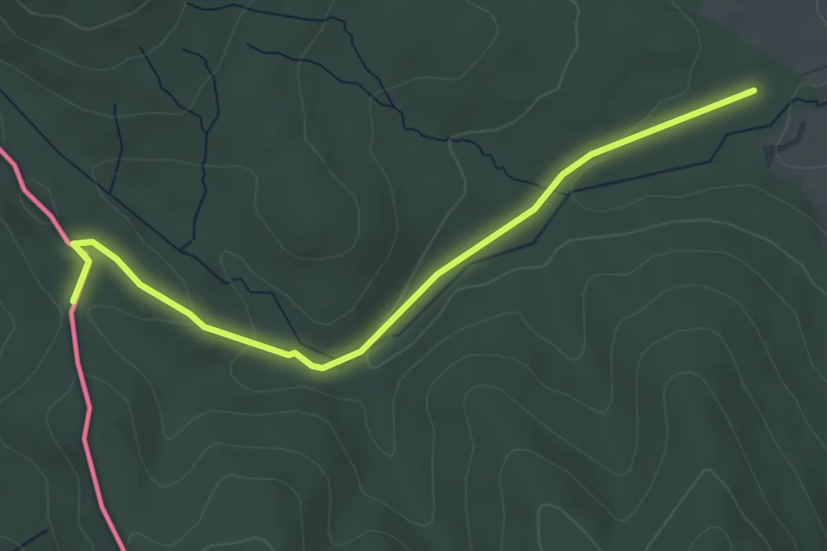
Easy · Trail
Pustelnia Św. Jana - Porubské sedlo
4.3 km · ↑ 95 m · 1 h 14 min
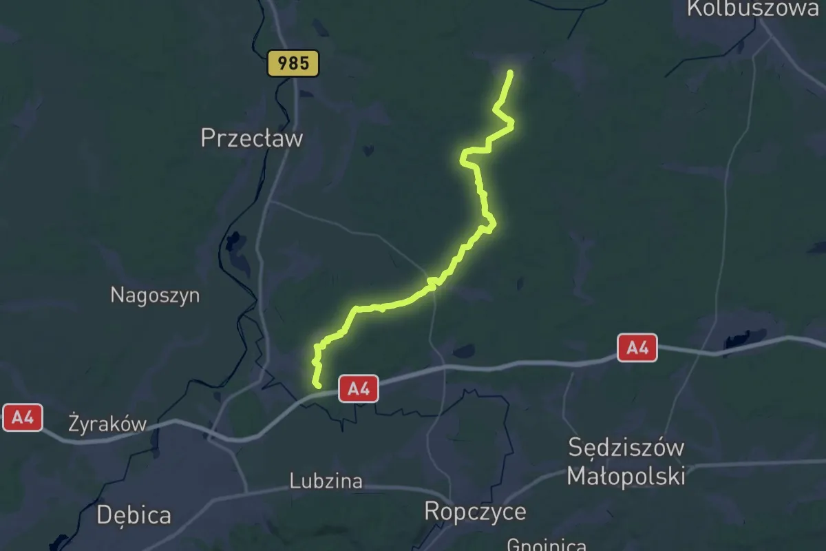
Demanding · Trail
Pustków - Niwiska
21.9 km · ↑ 82 m · 5 h 40 min
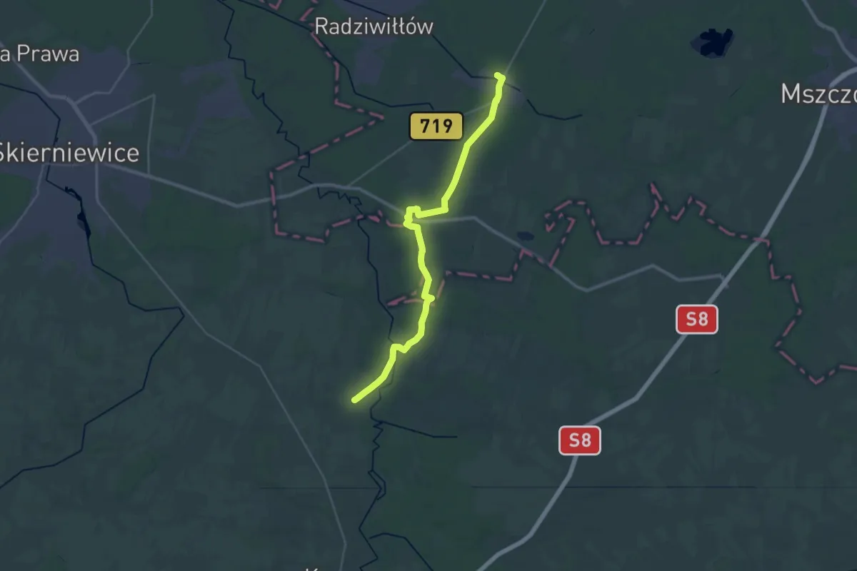
Demanding · Trail
Puszcza Mariańska - Kurzeszyn
29.0 km · ↑ 90 m · 7 h 3 min
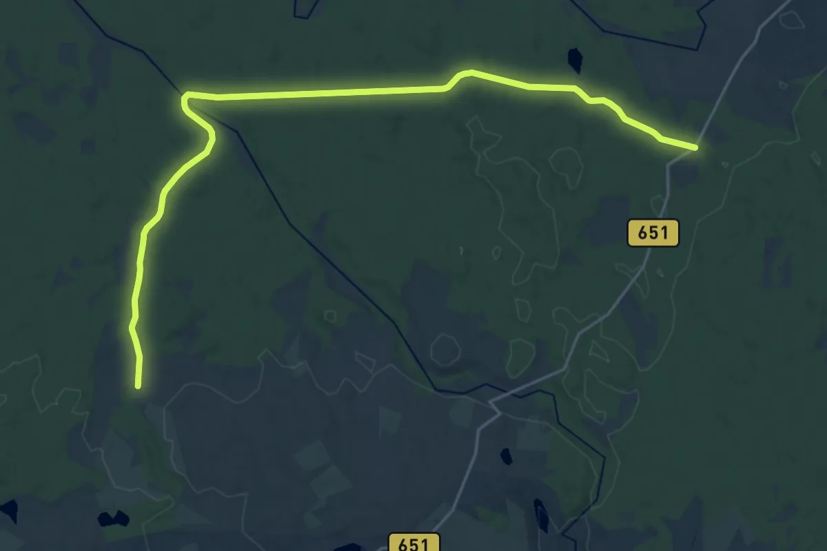
Demanding · Trail
Puszcza Romincka
19.9 km · ↑ 124 m · 4 h 58 min
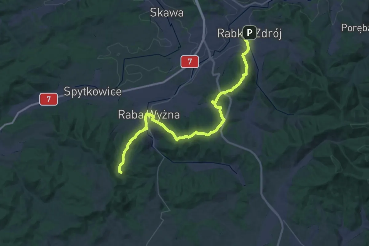
Demanding · Summit
Raba Wyżna - Rabka
35.7 km · ↑ 1198 m · 11 h 1 min
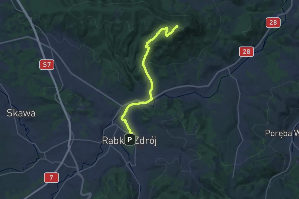
Medium · Summit
Rabka - Luboń
16.4 km · ↑ 596 m · 5 h 10 min
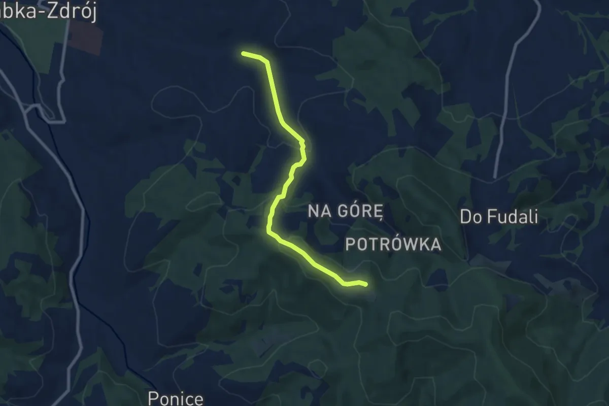
Easy · Summit
Rabka Słone - Maciejowa
6.8 km · ↑ 292 m · 2 h 14 min
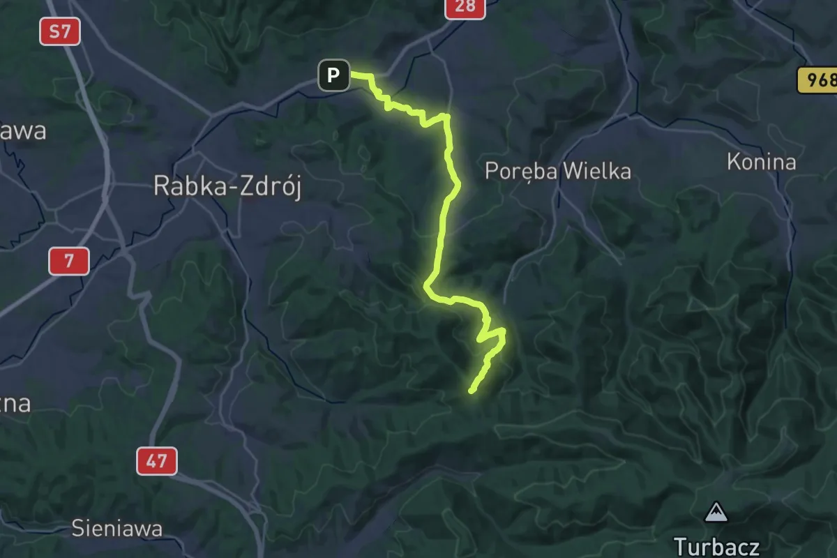
Demanding · Summit
Rabka Zaryte - Stare Wierchy
24.1 km · ↑ 937 m · 7 h 43 min
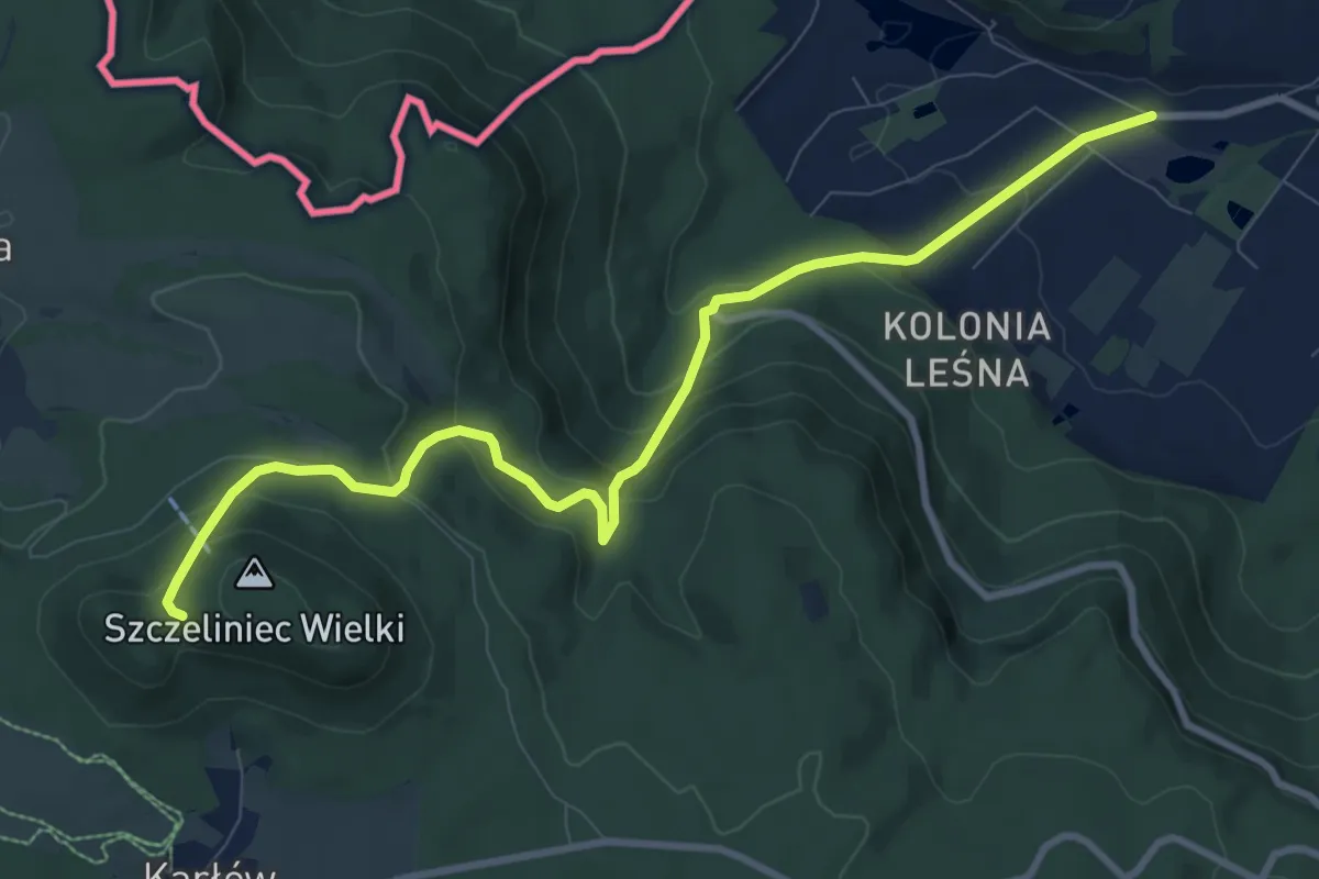
Medium · Trail
Radków, rozwidlenie - Szczeliniec Wielki, przełęcz
9.5 km · ↑ 510 m · 3 h 21 min
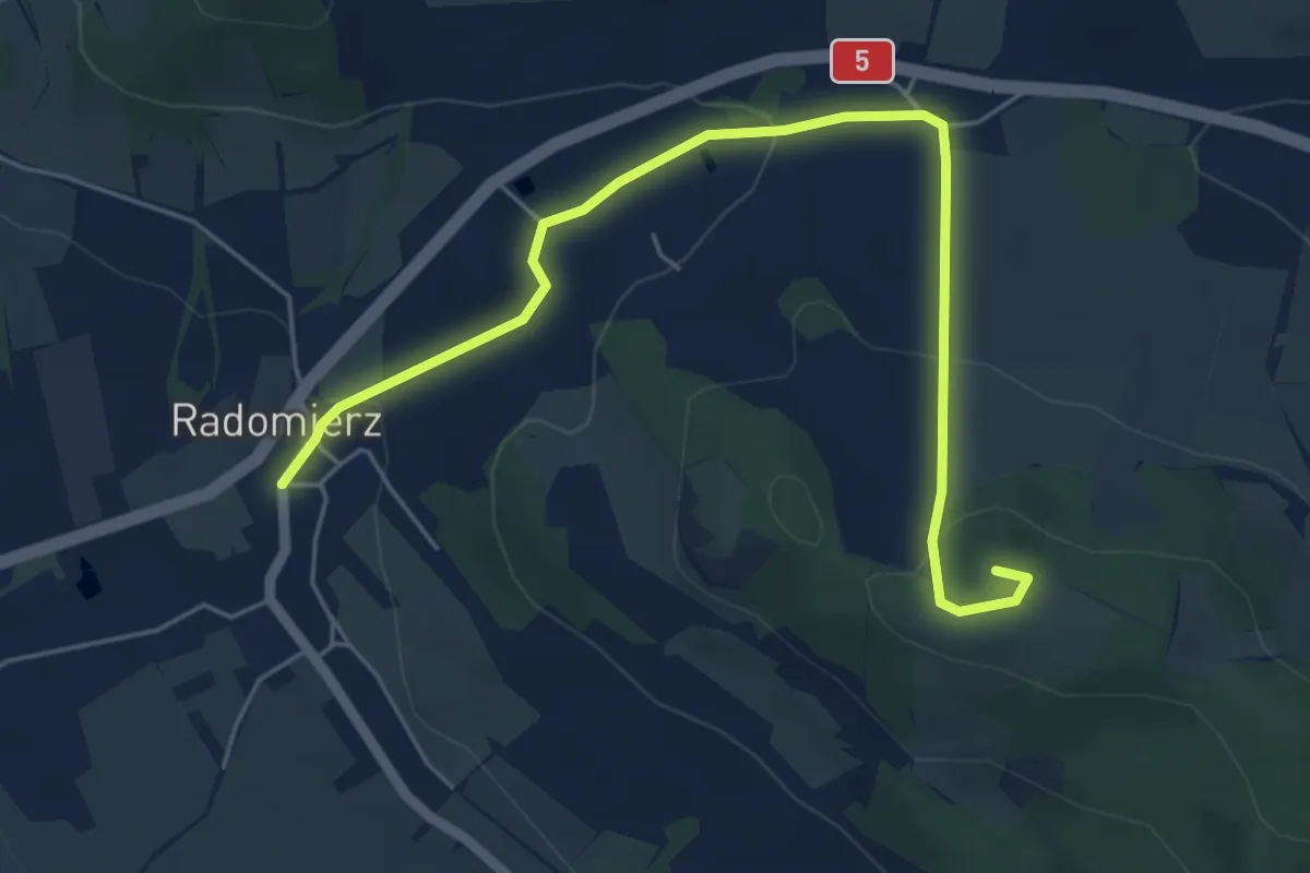
Easy · Summit
Radomierz - Różanka
5.7 km · ↑ 183 m · 1 h 44 min
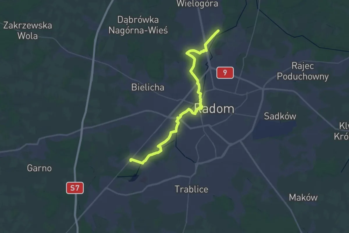
Demanding · Trail
Radom Pruszaków MPK - Radom Firlej Cmentarz
32.8 km · ↑ 101 m · 7 h 57 min
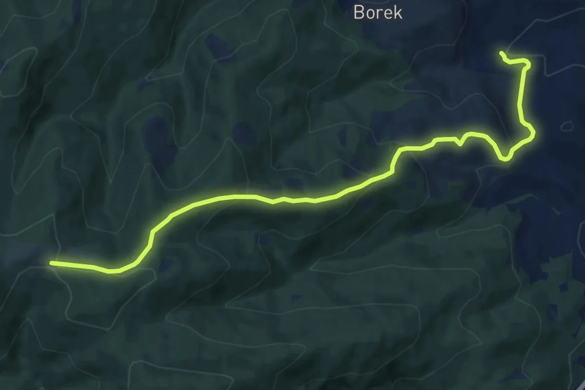
Medium · Trail
Radziechowy - Hala Radziechowska
11.8 km · ↑ 522 m · 3 h 55 min
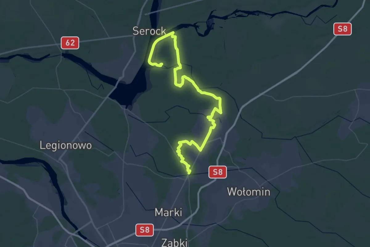
Demanding · Trail
Radzymiński Szlak Krajoznawczy
38.5 km · ↑ 48 m · 9 h 44 min
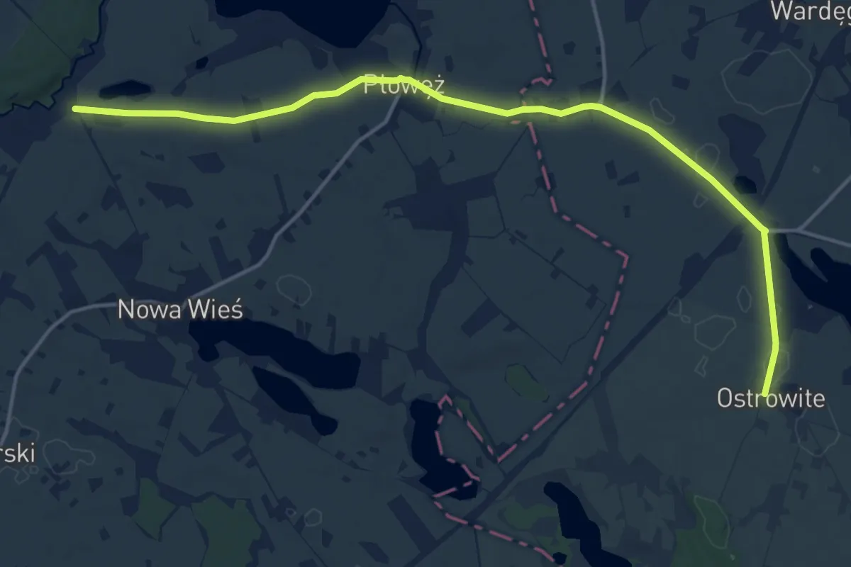
Medium · Trail
Radzyń Chełmiński - Ostrowite
14.3 km · ↑ 63 m · 3 h 31 min
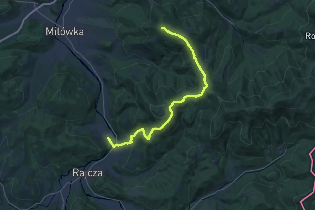
Demanding · Summit
Rajcza PKP - Żabnica
20.3 km · ↑ 940 m · 6 h 50 min
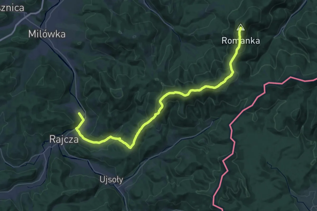
Demanding · Summit
Rajcza - Romanka
32.5 km · ↑ 1515 m · 10 h 58 min
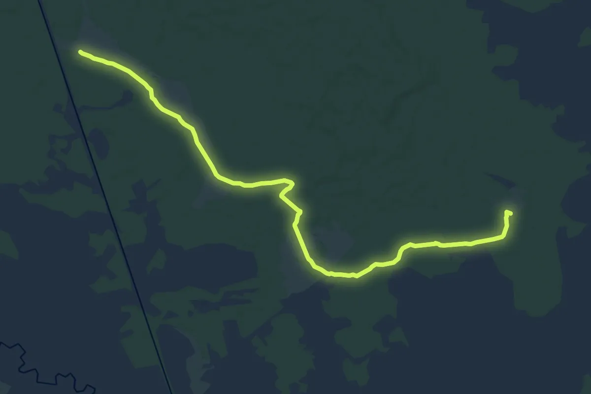
Medium · Summit
Rajgród - Dział Kumkowskiego
17.5 km · ↑ 21 m · 4 h 11 min
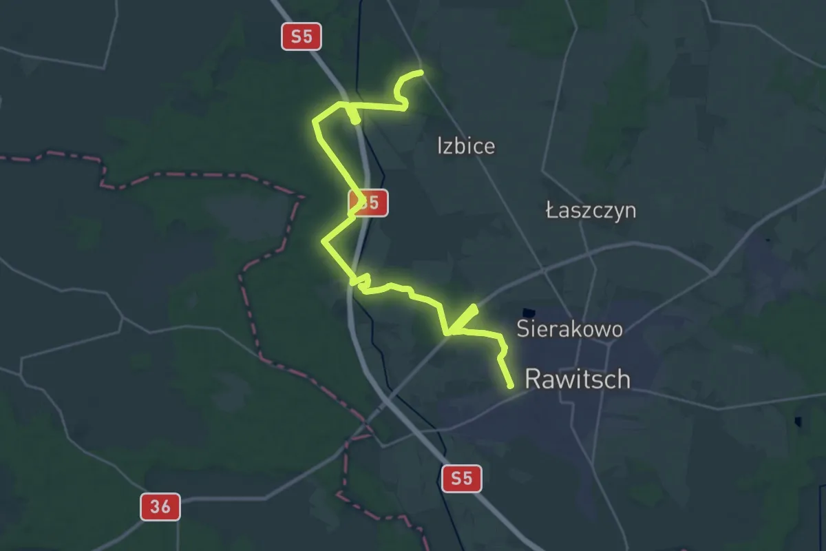
Demanding · Trail
Rawicz - Dąbrówka
27.1 km · ↑ 125 m · 6 h 40 min
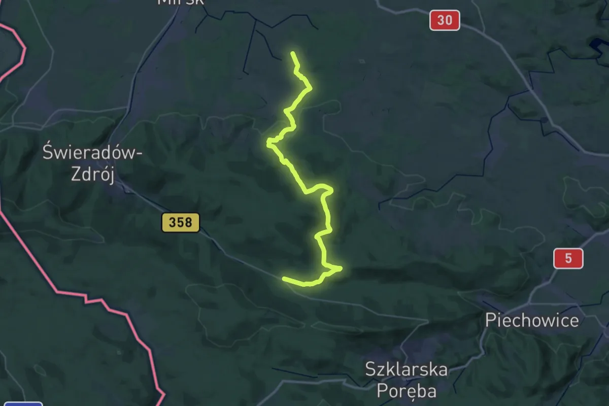
Medium · Trail
Rębiszów - Rozdroże Izerskie
16.8 km · ↑ 175 m · 4 h 45 min
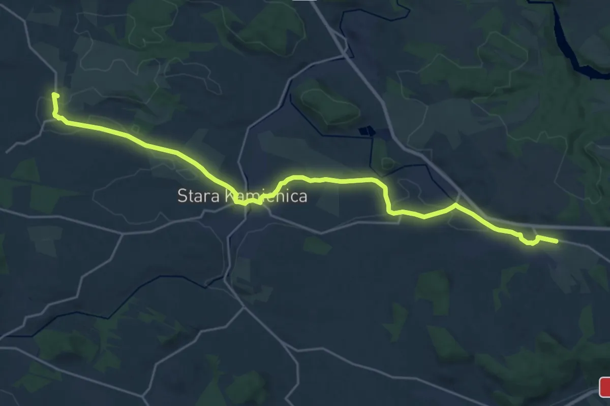
Demanding · Summit
Rębiszów - Rybnica
20.3 km · ↑ 204 m · 5 h 14 min
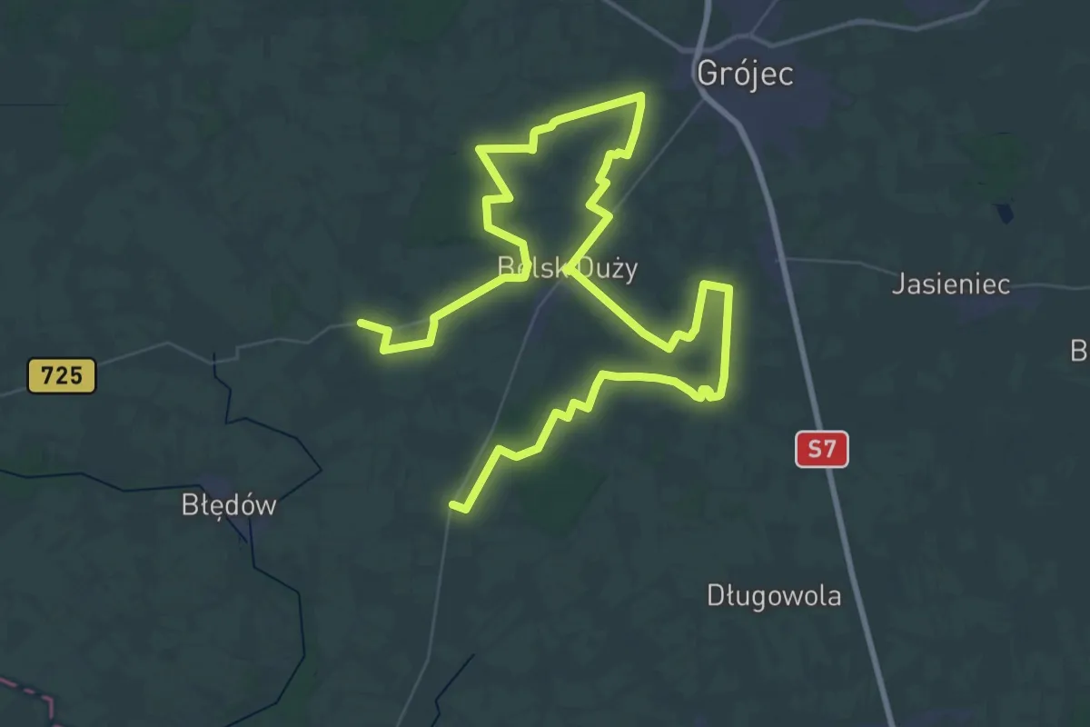
Demanding · Trail
Rębowola, PKS - Łęczeszyce, PKS
35.3 km · ↑ 143 m · 9 h 8 min
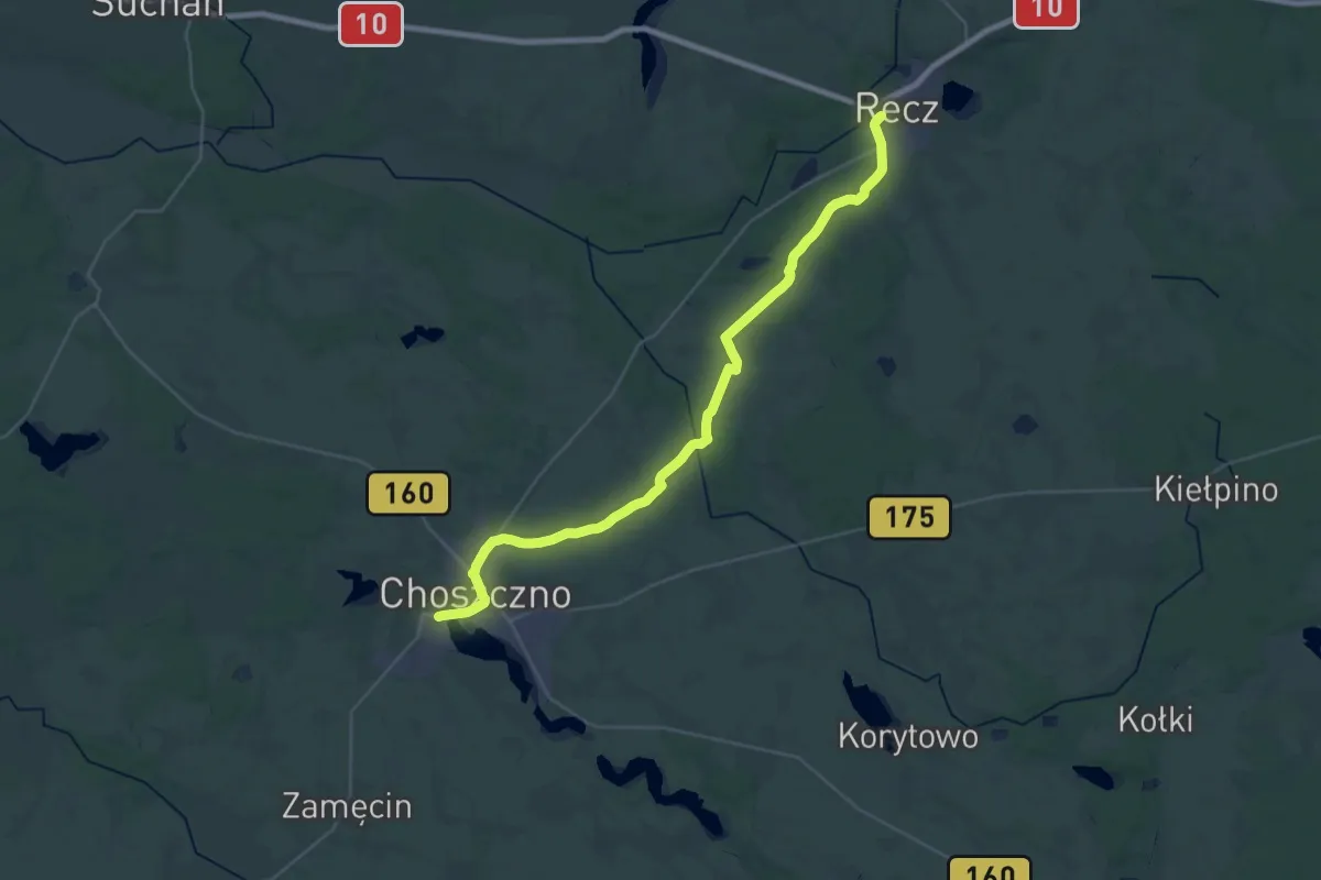
Medium · Trail
Recz – Choszczno
16.4 km · ↑ 61 m · 4 h 14 min
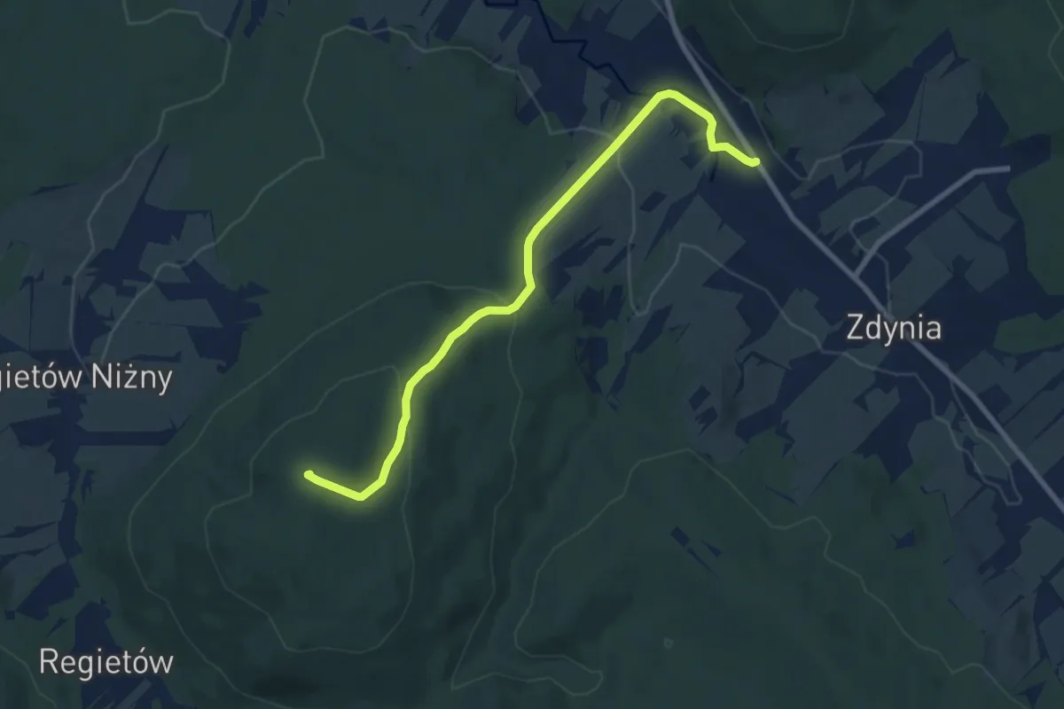
Easy · Summit
Regietów - Ług
7.8 km · ↑ 308 m · 2 h 31 min
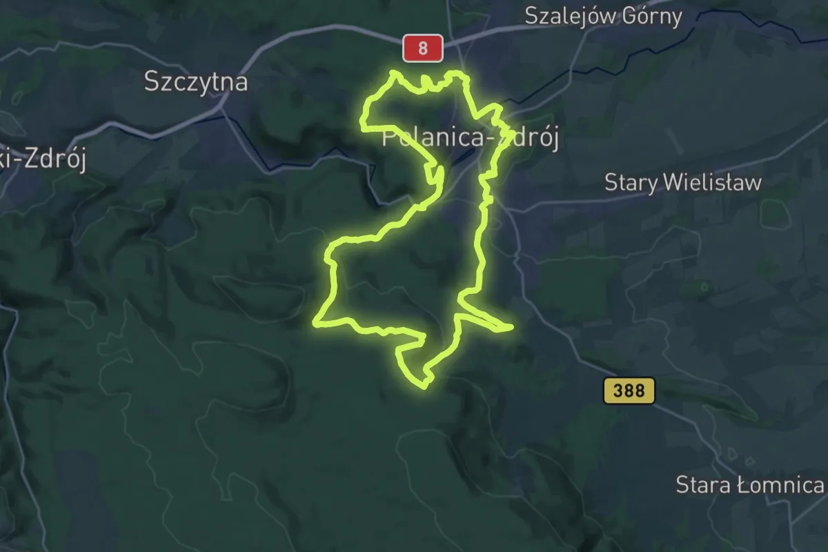
Demanding · Summit
Regionalny Szlak Serduszkowy
23.5 km · ↑ 649 m · 7 h 16 min
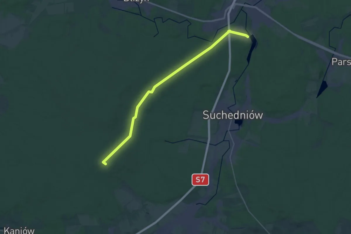
Demanding · Summit
Rejów-Łączna
24.6 km · ↑ 248 m · 6 h 21 min
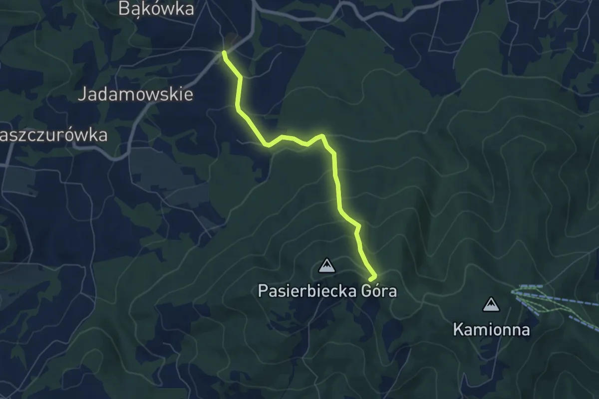
Medium · Trail
Rezerwat "Kamionna" - Kamionna rozdroże
5.3 km · ↑ 346 m · 2 h 1 min
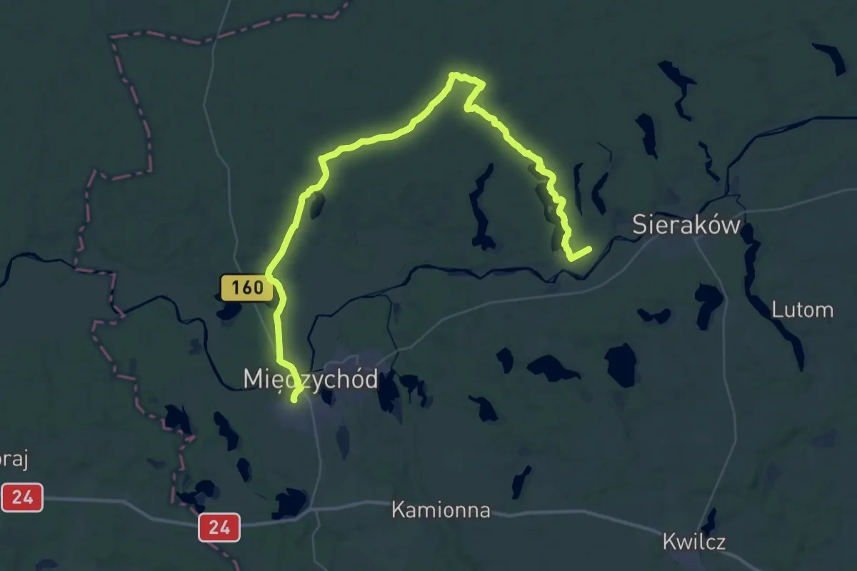
Demanding · Trail
Rezerwat Kolno Międzychodzkie - Kobylarnia
25.7 km · ↑ 184 m · 6 h 50 min
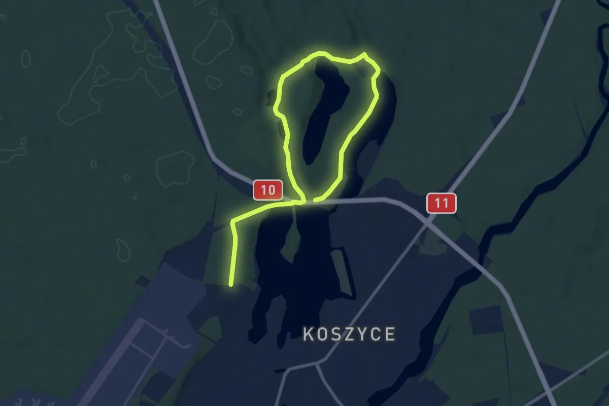
Medium · Trail
Rezerwat Kuźnik - Piła Koszyce
10.4 km · ↑ 123 m · 2 h 43 min
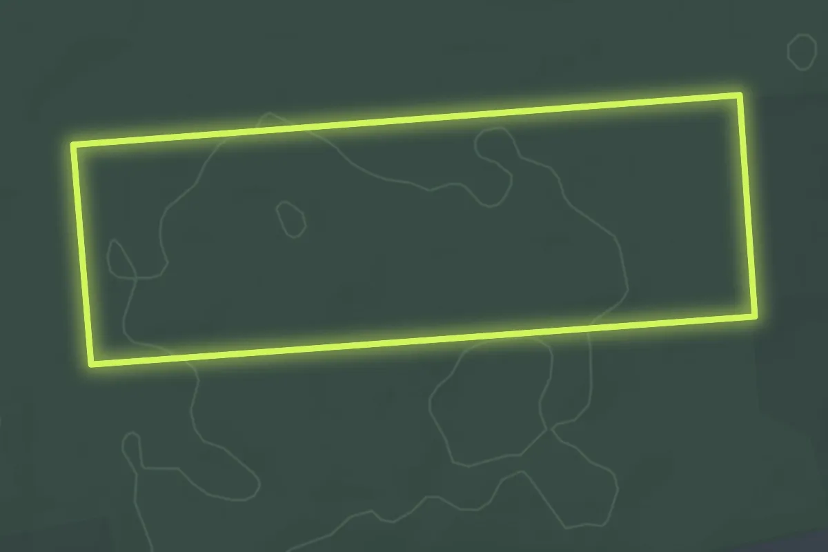
Easy · Trail
Rezerwat Modrzewina
3.5 km · ↑ 16 m · 54 min
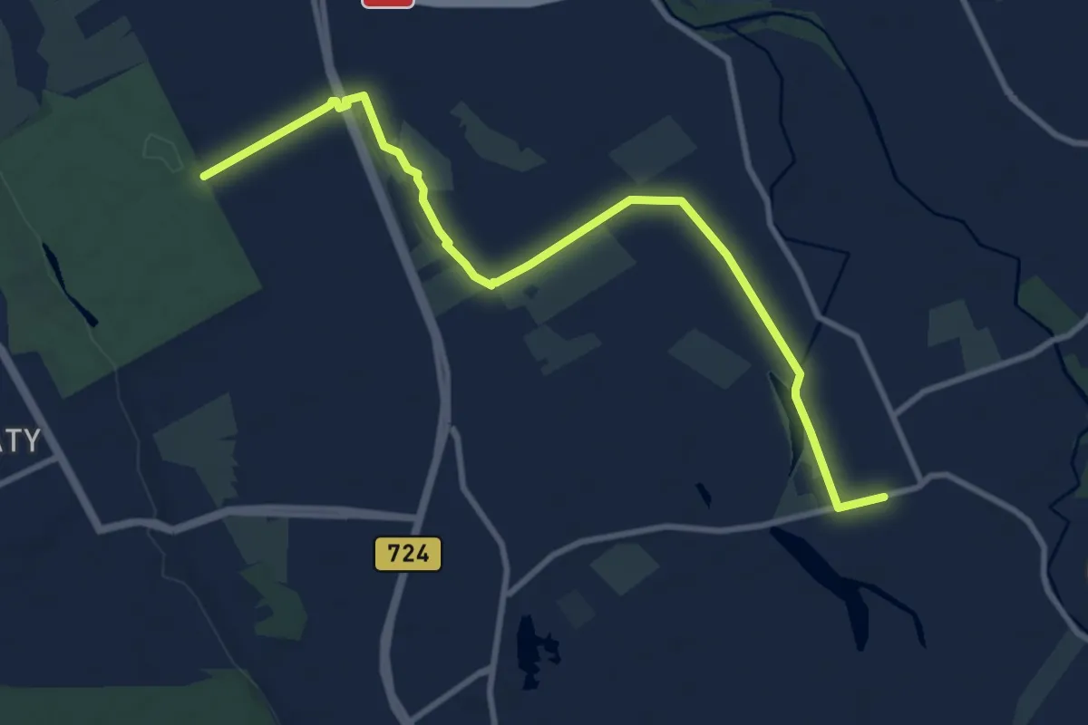
Medium · Trail
Rezerwat Park Natoliński - Latoszki
9.2 km · ↑ 9 m · 2 h 11 min
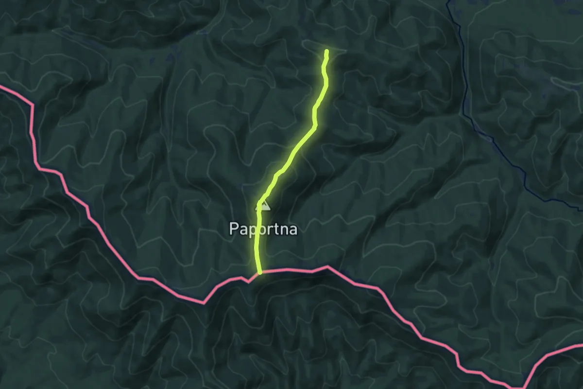
Medium · Summit
Riaba Skała - Zatwarnica
8.0 km · ↑ 403 m · 2 h 46 min
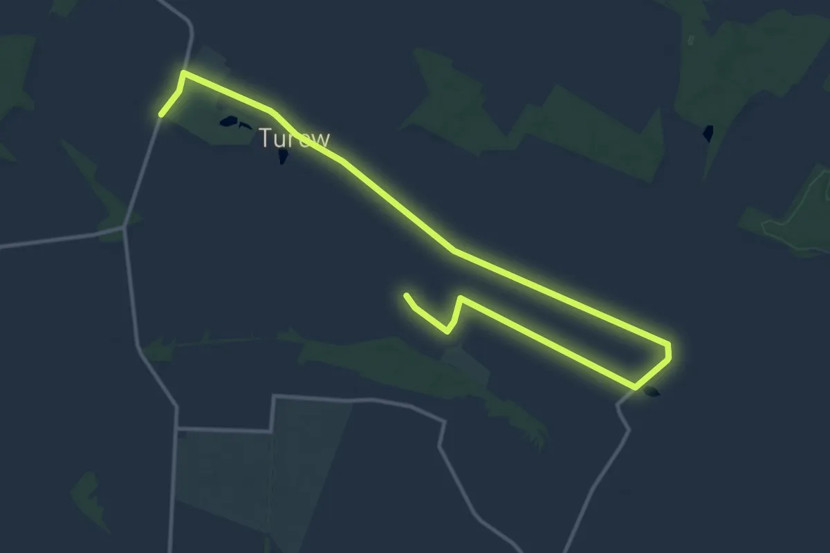
Medium · Trail
Rogaczewo Małe - Turew
14.7 km · ↑ 17 m · 3 h 30 min
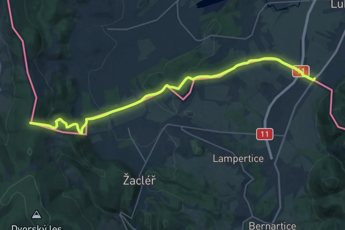
Demanding · Trail
Roh hranic – Przełęcz Lubawska
20.7 km · ↑ 639 m · 6 h 17 min
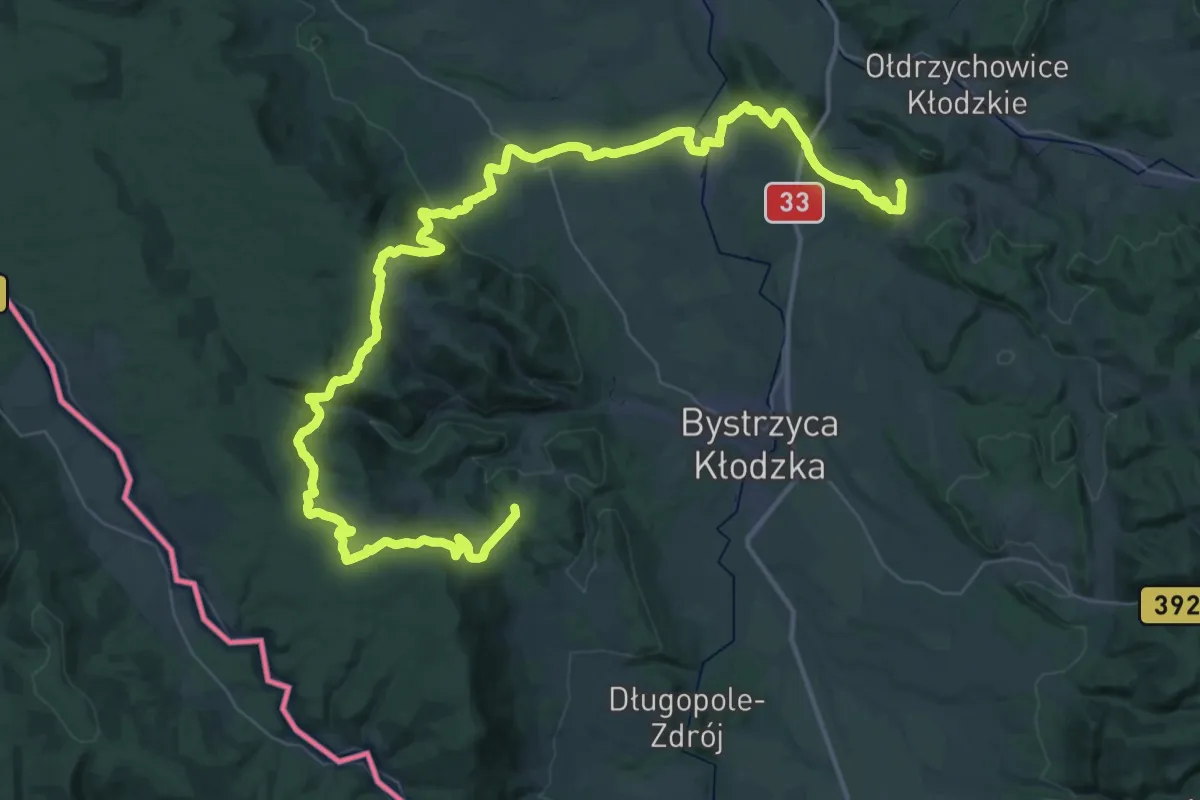
Demanding · Summit
Romanowo – Bystrzyca Kłodzka stacja kolejowa
62.2 km · ↑ 1845 m · 18 h 41 min
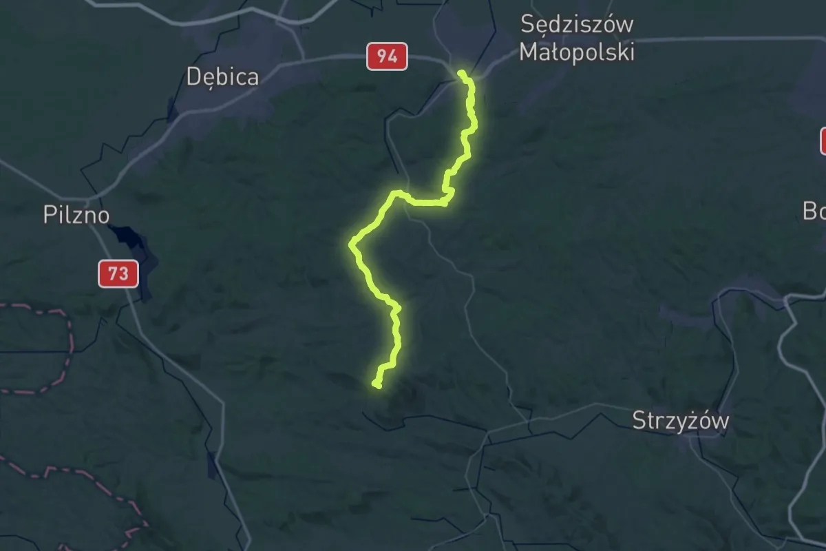
Demanding · Summit
Ropczyce - Bardo
58.3 km · ↑ 1158 m · 16 h 17 min
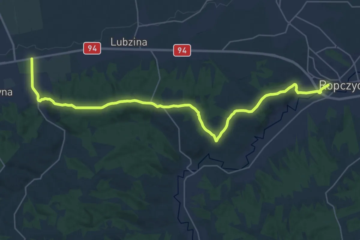
Demanding · Trail
Ropczyce - Zawada
23.4 km · ↑ 351 m · 6 h 17 min
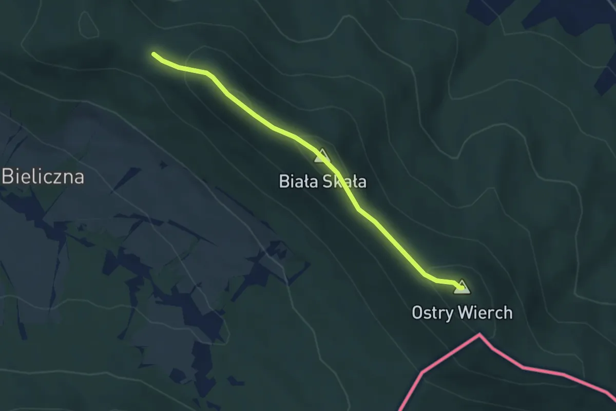
Easy · Summit
Ropki - Ostry Wierch
3.6 km · ↑ 143 m · 1 h 9 min
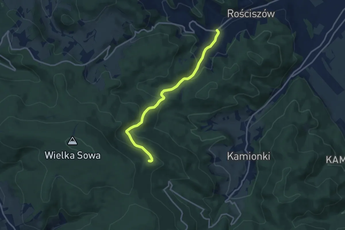
Medium · Trail
Rościszów – Rozdroże nad Gołębiem
9.1 km · ↑ 430 m · 3 h 5 min
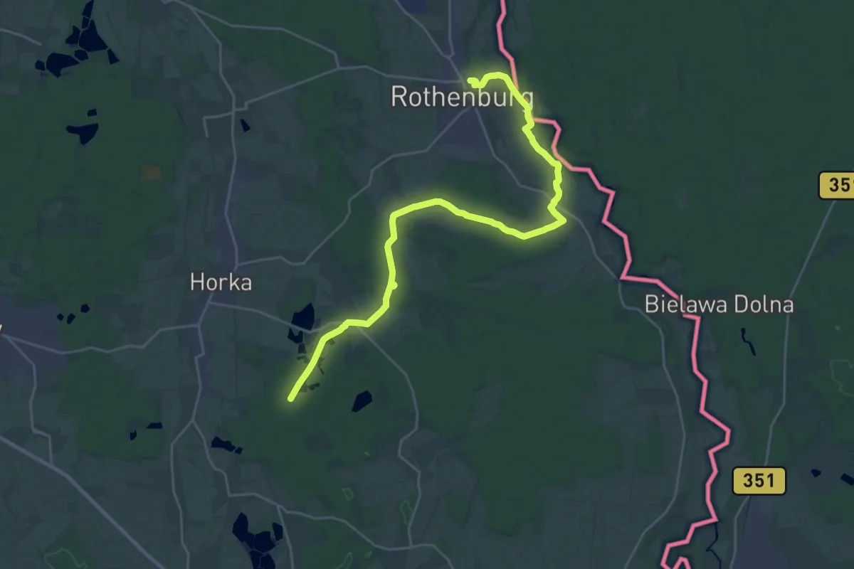
Demanding · Trail
Rothenburg - Waldsee (Biehain)
25.7 km · ↑ 105 m · 6 h 18 min
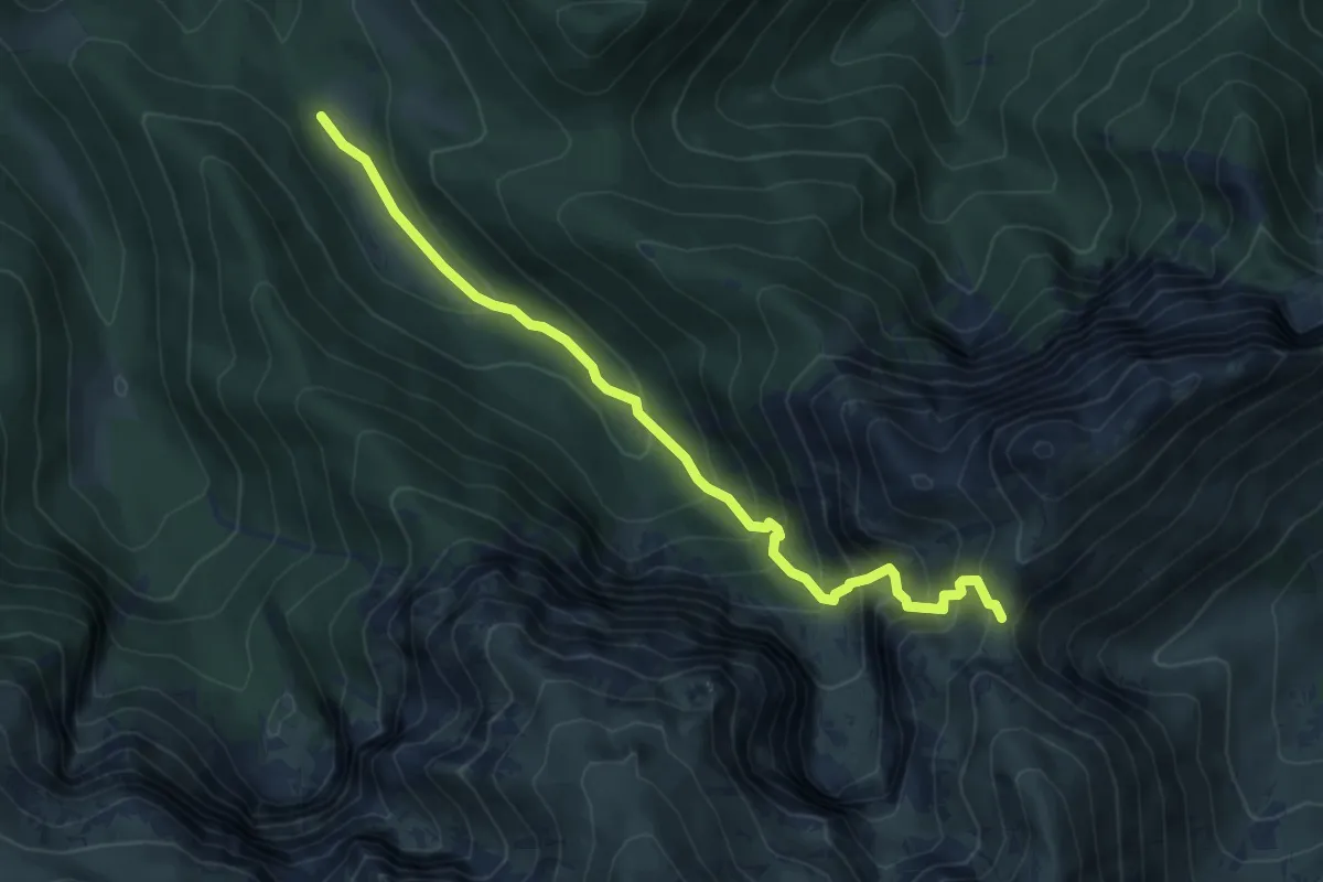
Medium · Trail
Rówienki - Kondracka Przełęcz
6.1 km · ↑ 541 m · 2 h 36 min
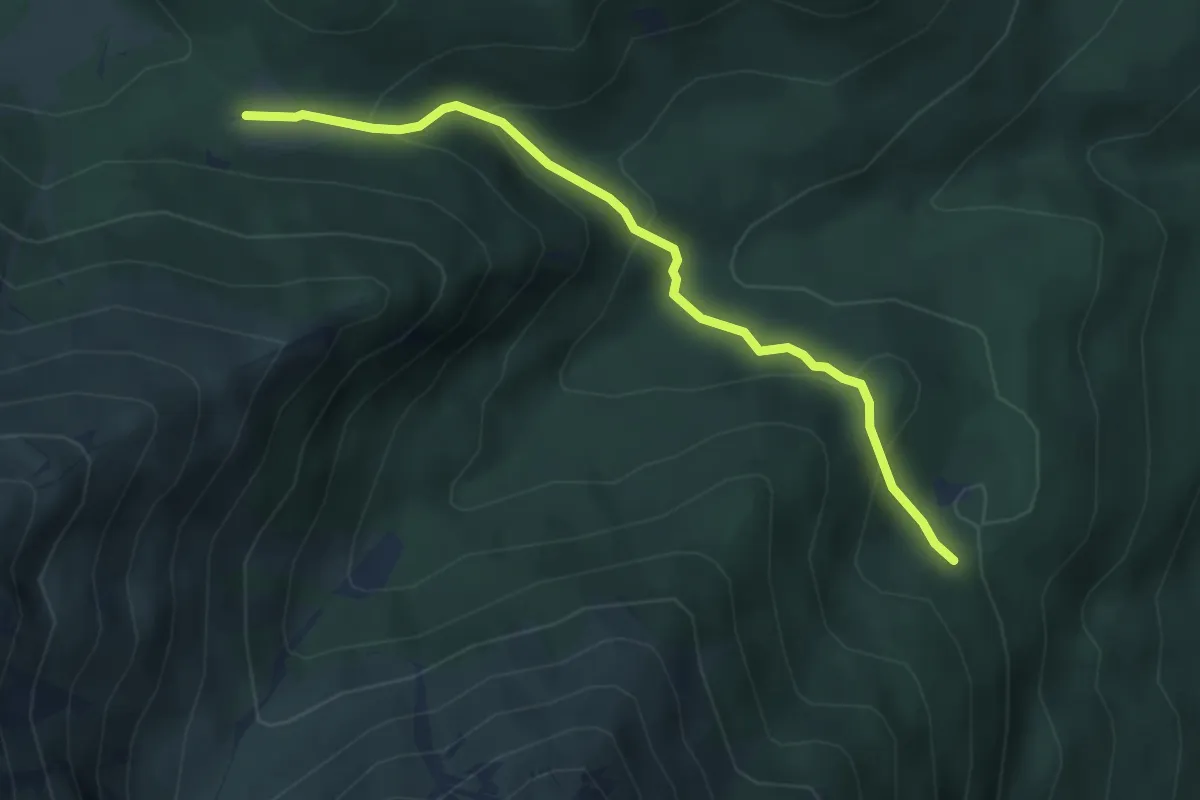
Medium · Trail
Rówień Waksmundzka - Polana Pod Wołoszynem
4.0 km · ↑ 245 m · 1 h 29 min
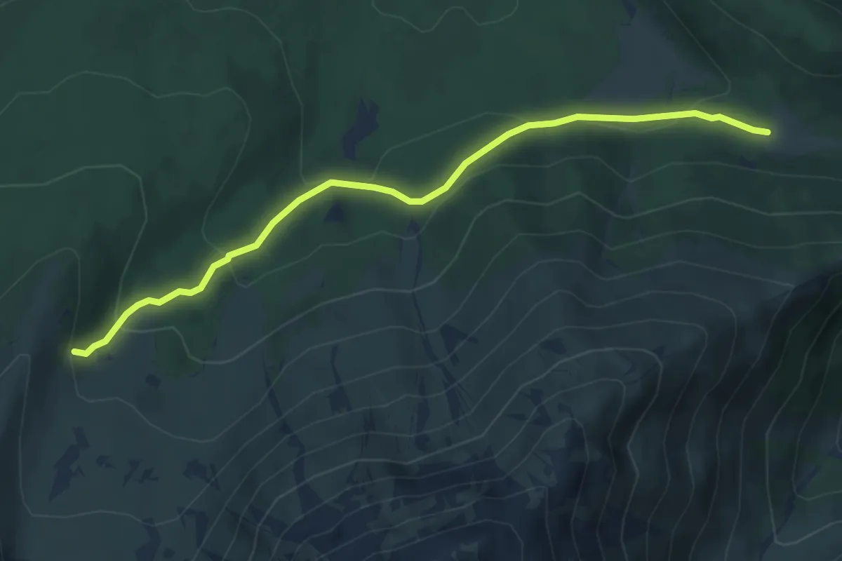
Medium · Trail
Rówień Waksmundzka - Wolarczyska
4.9 km · ↑ 253 m · 1 h 43 min
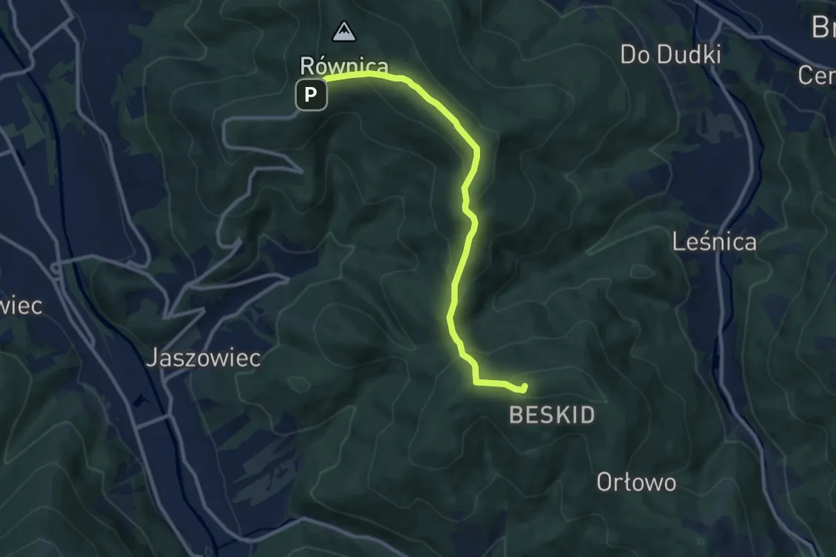
Medium · Summit
Równica – Trzy Kopce Wiślańskie
8.9 km · ↑ 394 m · 2 h 57 min
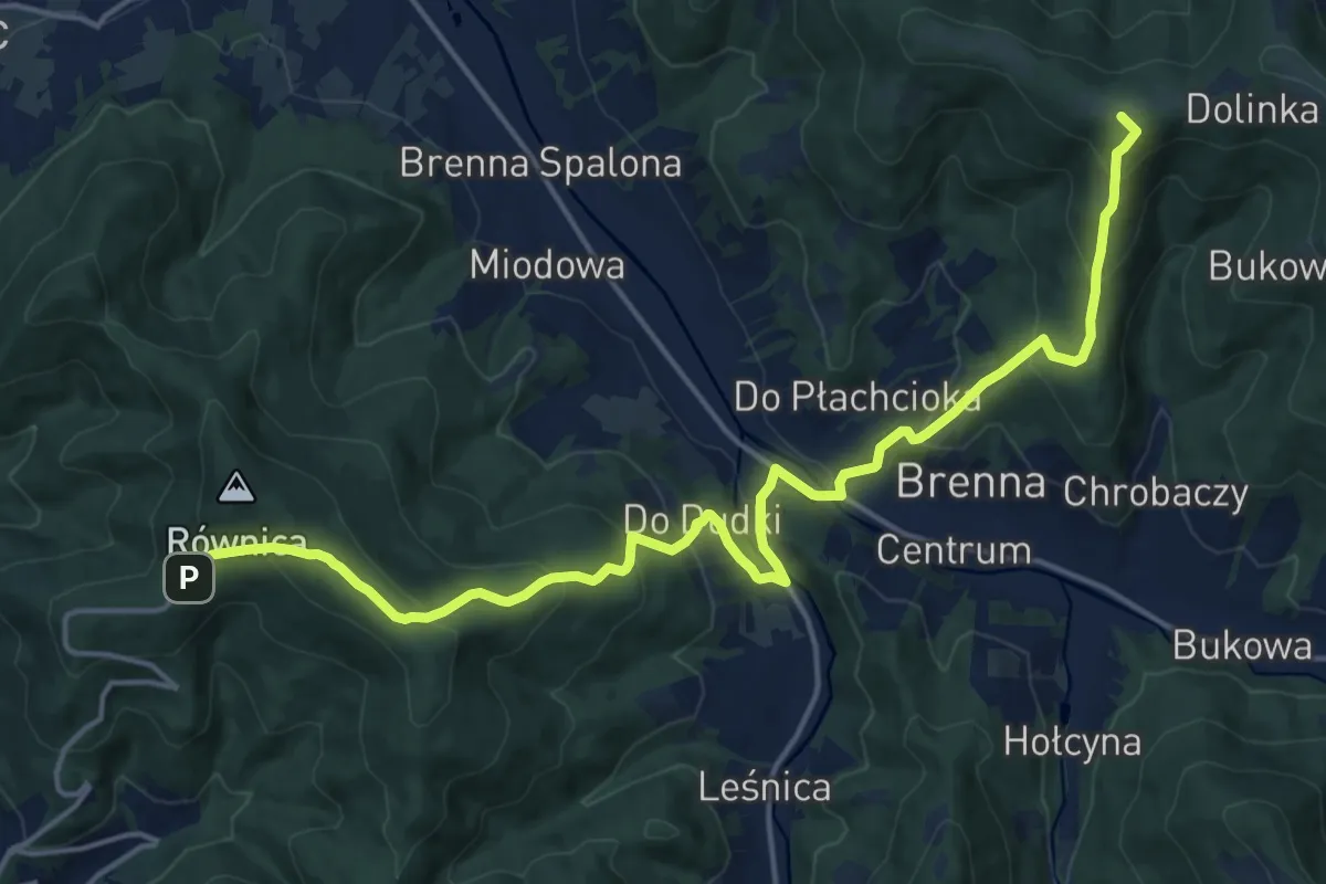
Demanding · Summit
Równica - Wielka Cisowa
18.7 km · ↑ 997 m · 6 h 34 min