Trails in Poland
2,893 hiking trails, each with its route, climb, walking time and grade.
All trails, page 54 of 61
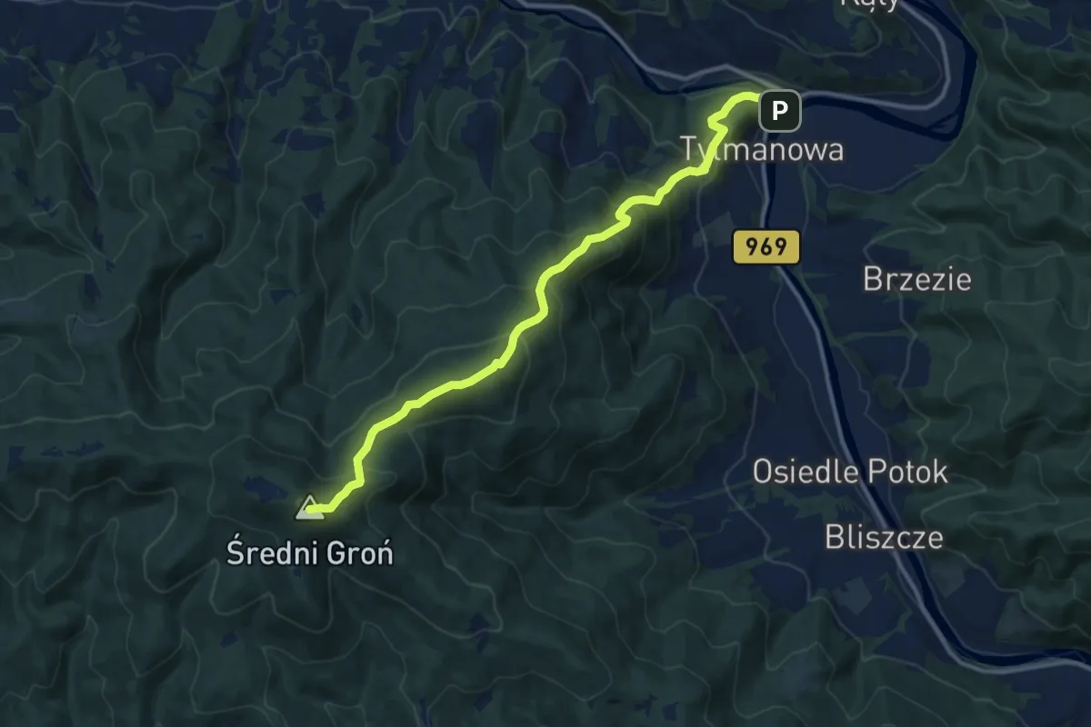
Demanding · Summit
Tylmanowa - Lubań
12.1 km · ↑ 913 m · 4 h 50 min
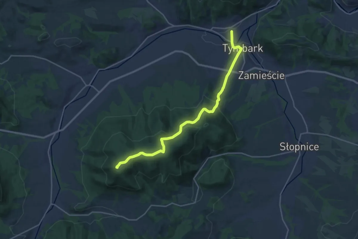
Medium · Summit
Tymbark - Łopień
15.8 km · ↑ 643 m · 5 h 8 min
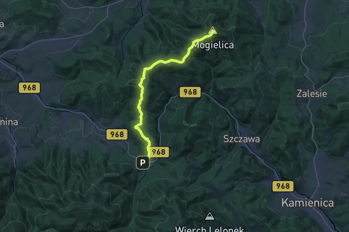
Demanding · Summit
Tymbark - Lubomierz Rzeki
21.5 km · ↑ 1065 m · 7 h 24 min
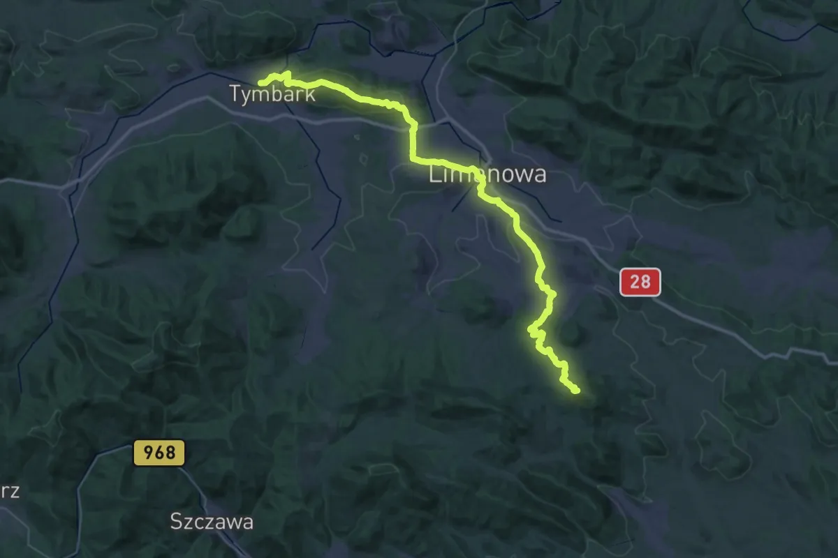
Demanding · Summit
Tymbark - Łukowica
40.8 km · ↑ 1398 m · 12 h 40 min
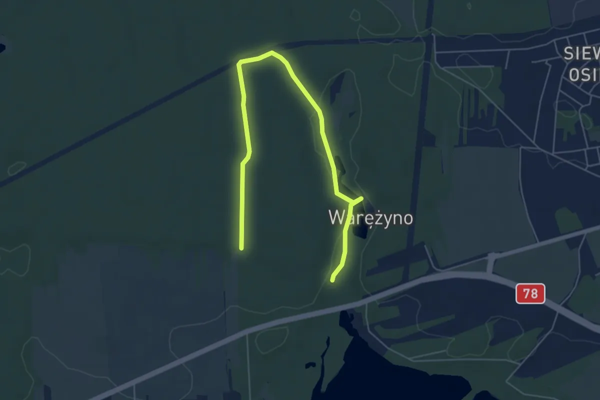
Easy · Trail
U
6.1 km · ↑ 21 m · 1 h 30 min
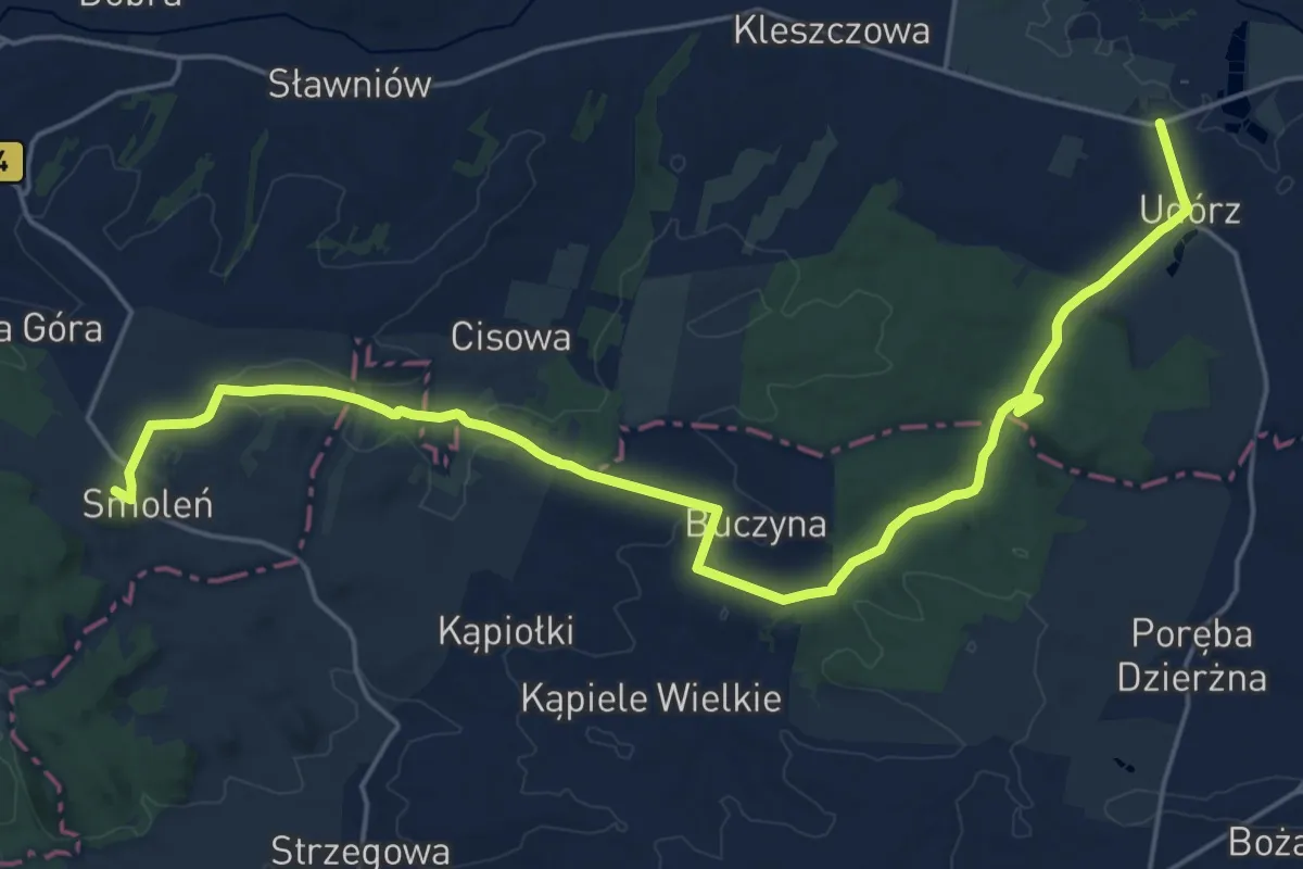
Demanding · Trail
Udórz - Smoleń
23.6 km · ↑ 316 m · 6 h 16 min
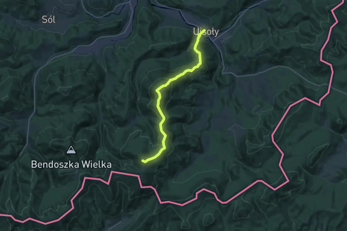
Demanding · Summit
Ujsoły - Hala Rycerzowa
18.7 km · ↑ 1034 m · 6 h 40 min
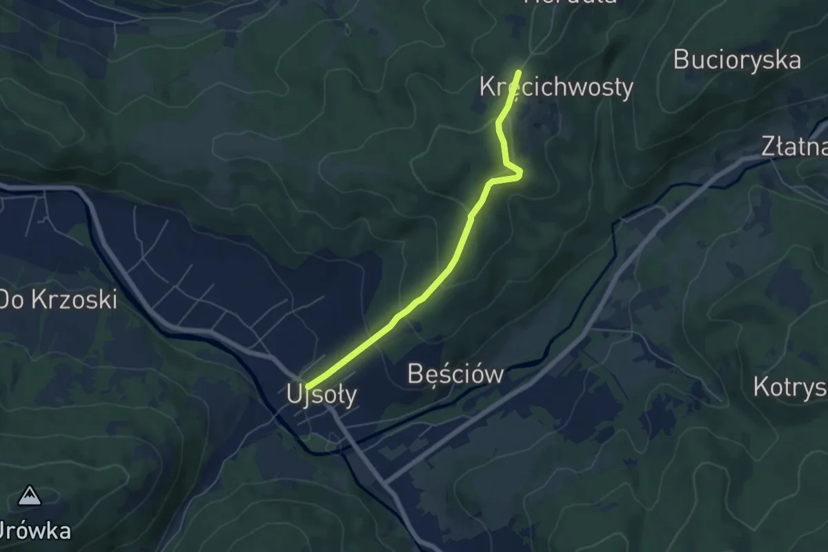
Easy · Trail
Ujsoły - Kęcichłosty
4.8 km · ↑ 235 m · 1 h 39 min
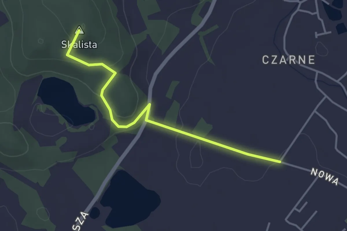
Easy · Summit
Ulica Wolności - Jelenia Góra Czarne
3.3 km · ↑ 91 m · 59 min
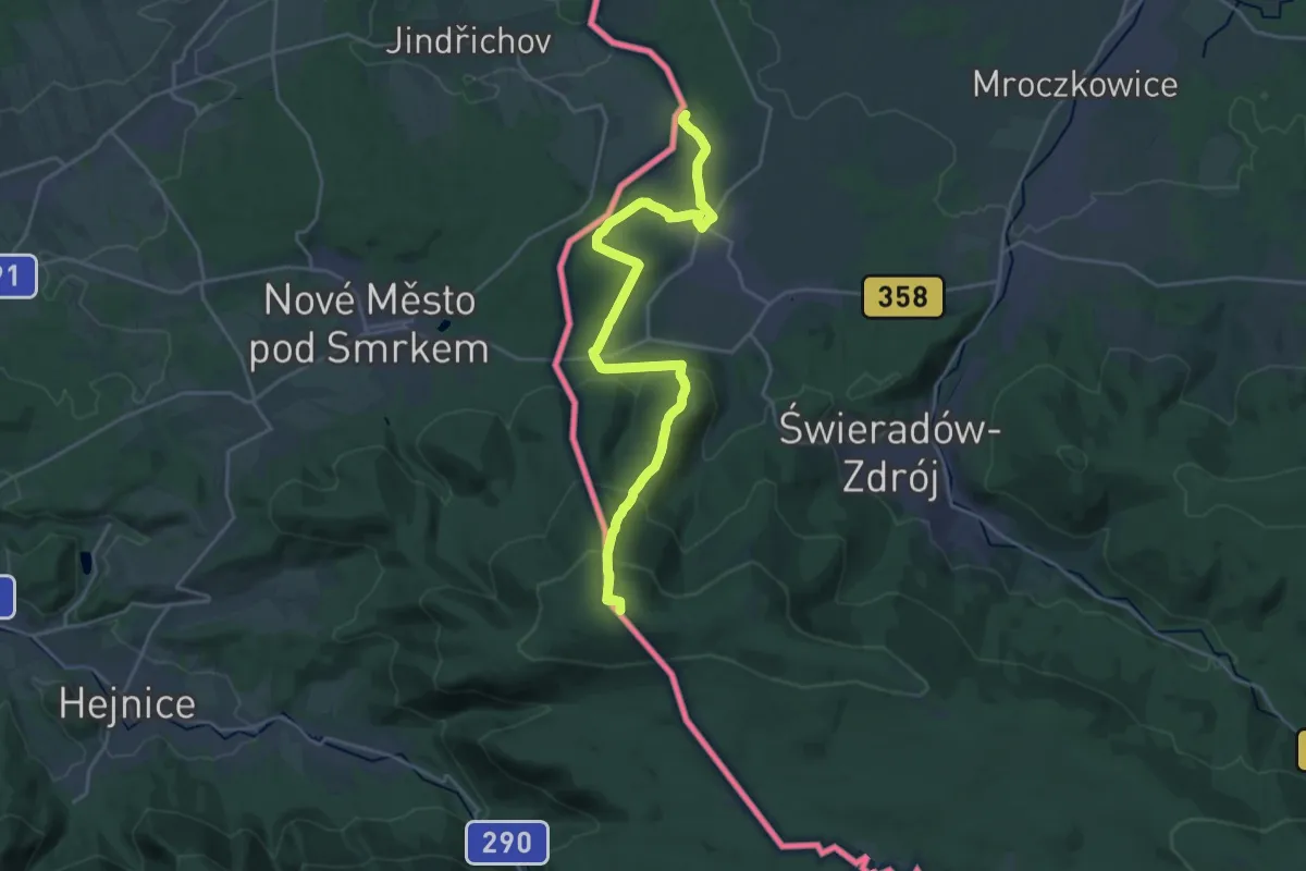
Demanding · Summit
Ulicko - Gierczyn
22.4 km · ↑ 817 m · 7 h 3 min
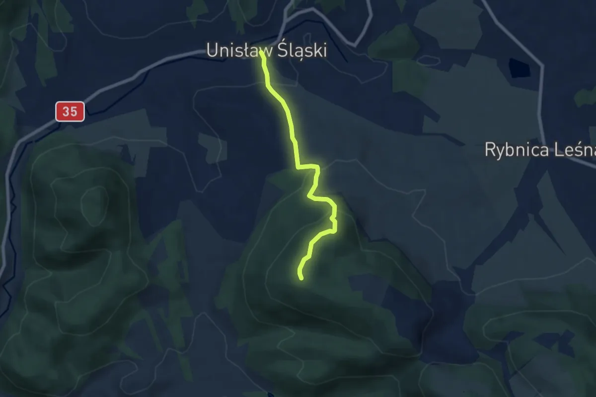
Easy · Trail
Unisław Śląski - Bukowiec
5.0 km · ↑ 295 m · 1 h 50 min
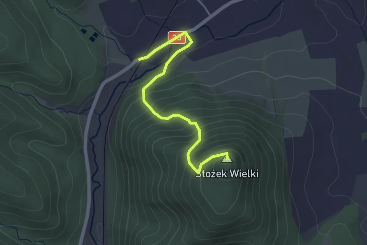
Easy · Summit
Unisław Śląski - Stożek Wielki
3.3 km · ↑ 248 m · 1 h 20 min
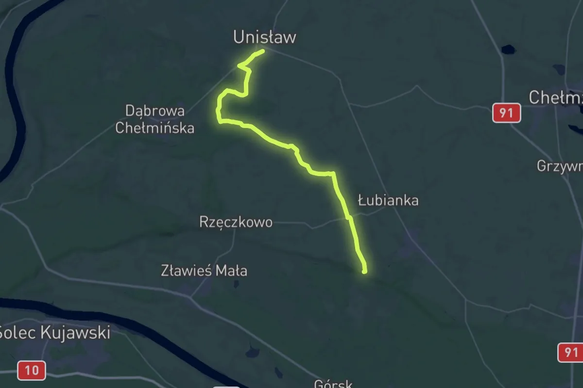
Demanding · Trail
Unisław - Zamek Bierzgłowski
18.2 km · ↑ 42 m · 4 h 39 min
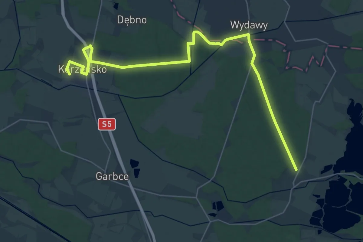
Demanding · Trail
Uraz - Kąty Wrocławskie
27.2 km · ↑ 114 m · 6 h 41 min
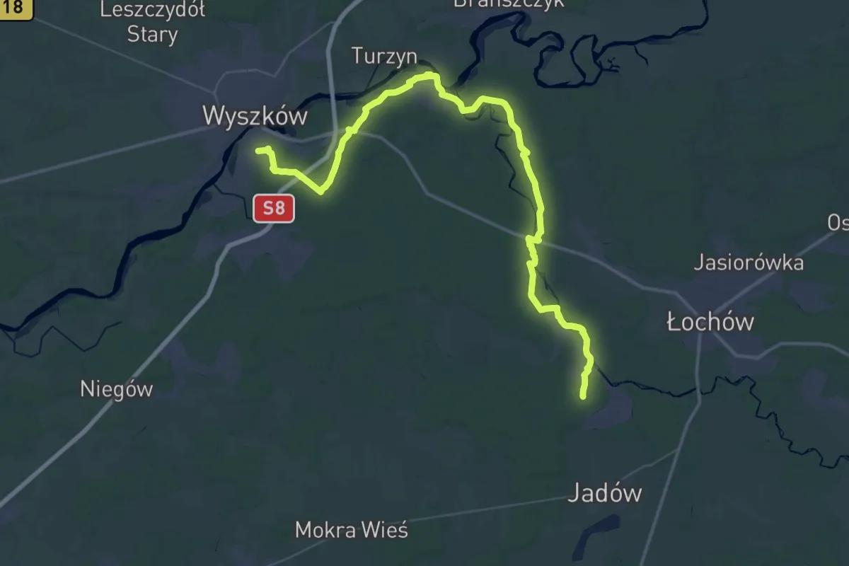
Demanding · Trail
Urle, PKP - Rybienko, PKP
25.3 km · ↑ 92 m · 6 h 30 min
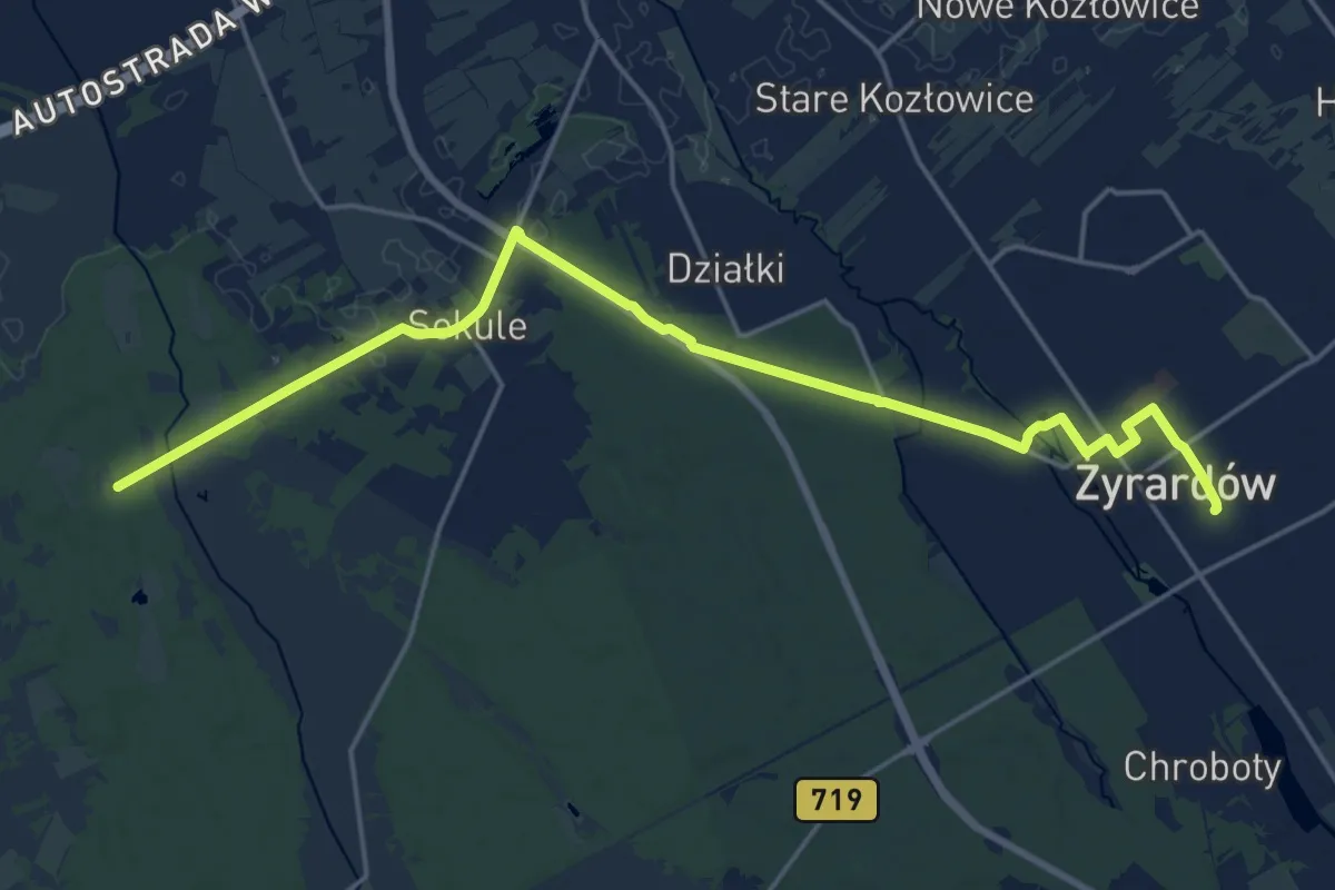
Demanding · Trail
Uroczysko Ulaski - Żyrardów, PKP
19.2 km · ↑ 46 m · 4 h 38 min
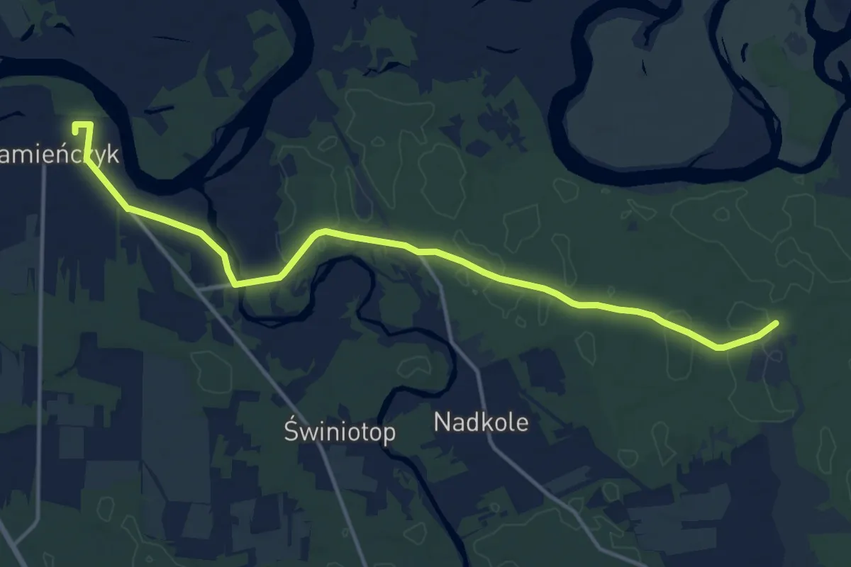
Medium · Trail
Uroczysko Wilżanka - Kamieńczyk - Rynek, PKS
12.9 km · ↑ 44 m · 3 h 9 min
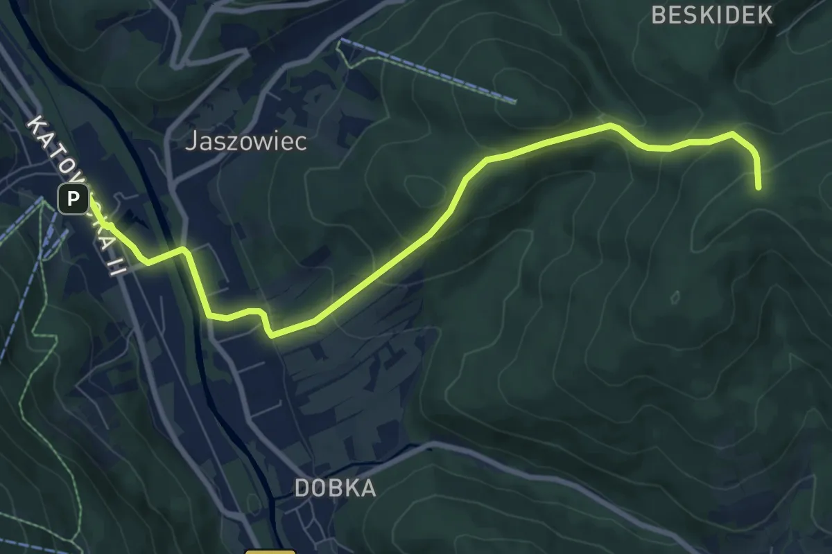
Medium · Trail
Ustroń Polana PKP - Orłowa
8.5 km · ↑ 414 m · 2 h 54 min
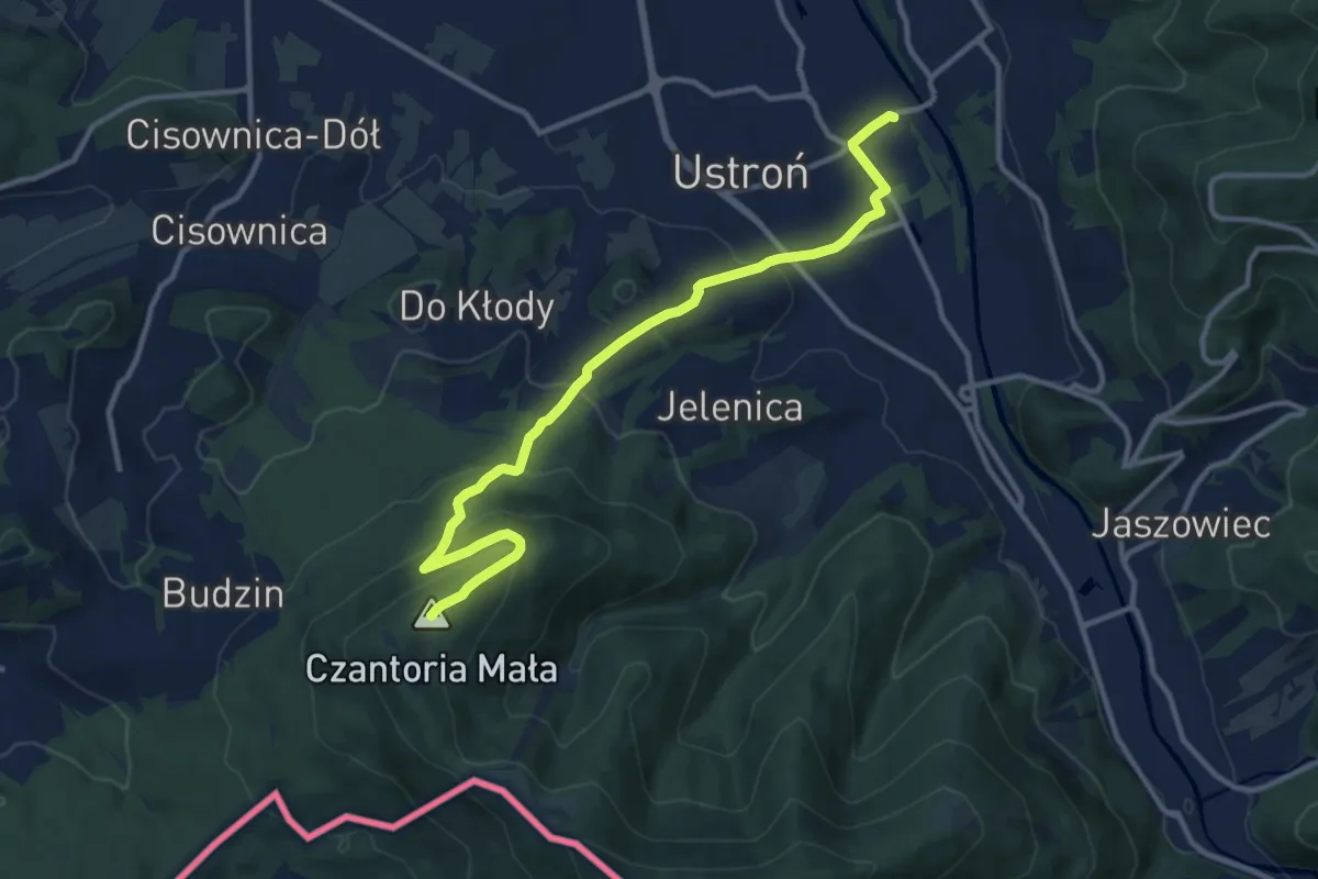
Medium · Summit
Ustroń-Zdrój PKP - Mała Czantoria
11.8 km · ↑ 497 m · 3 h 52 min
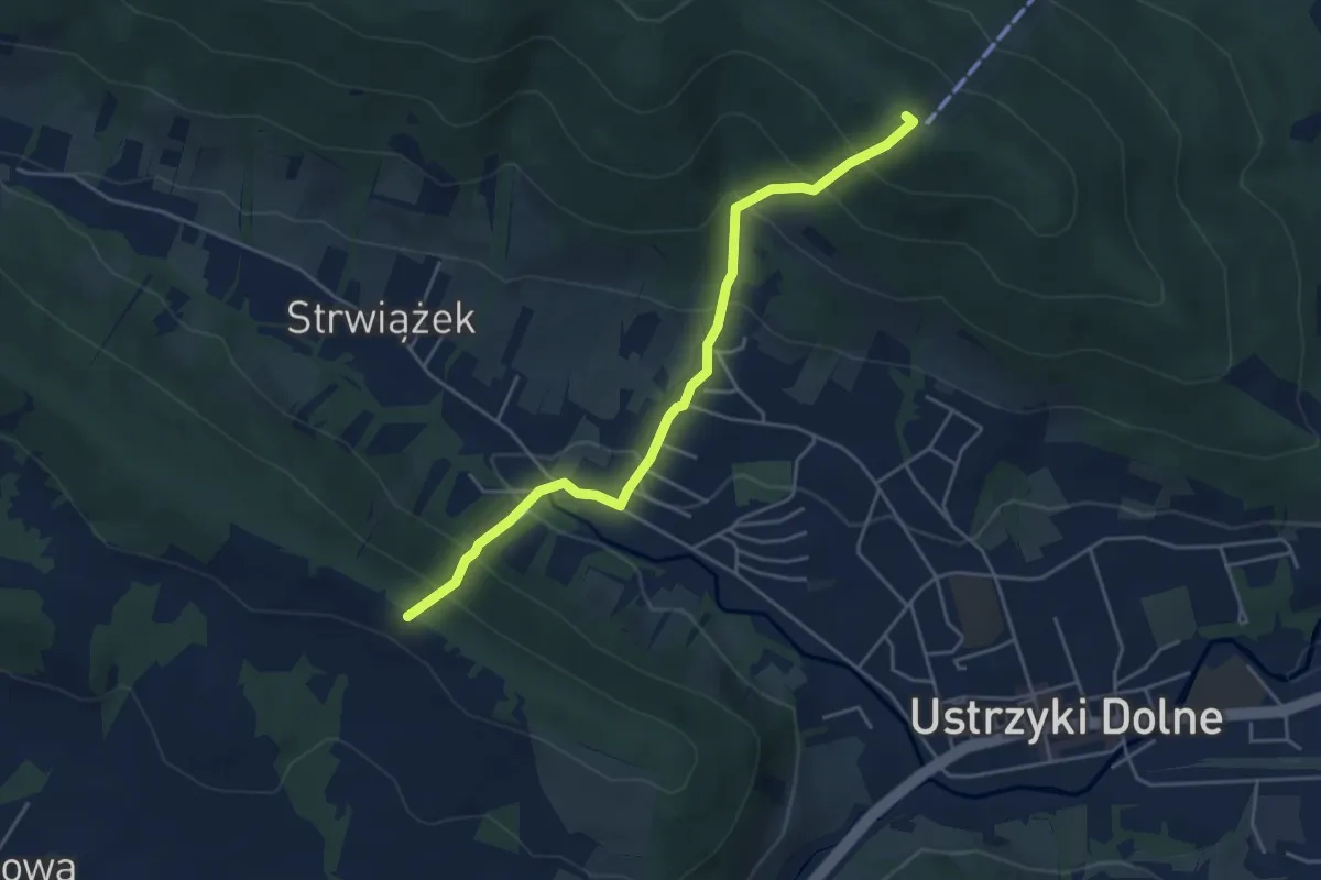
Medium · Summit
Ustrzki Dolne-Kamienna Laworta-Mały Król (szlak łącznikowy)
4.4 km · ↑ 360 m · 1 h 50 min
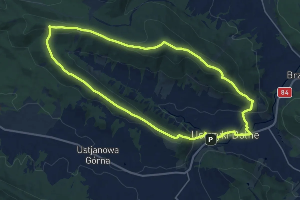
Medium · Summit
Ustrzyki Dolne-Kamienna Laworta-źródła Strwiąża-Mały Król
12.7 km · ↑ 377 m · 3 h 59 min
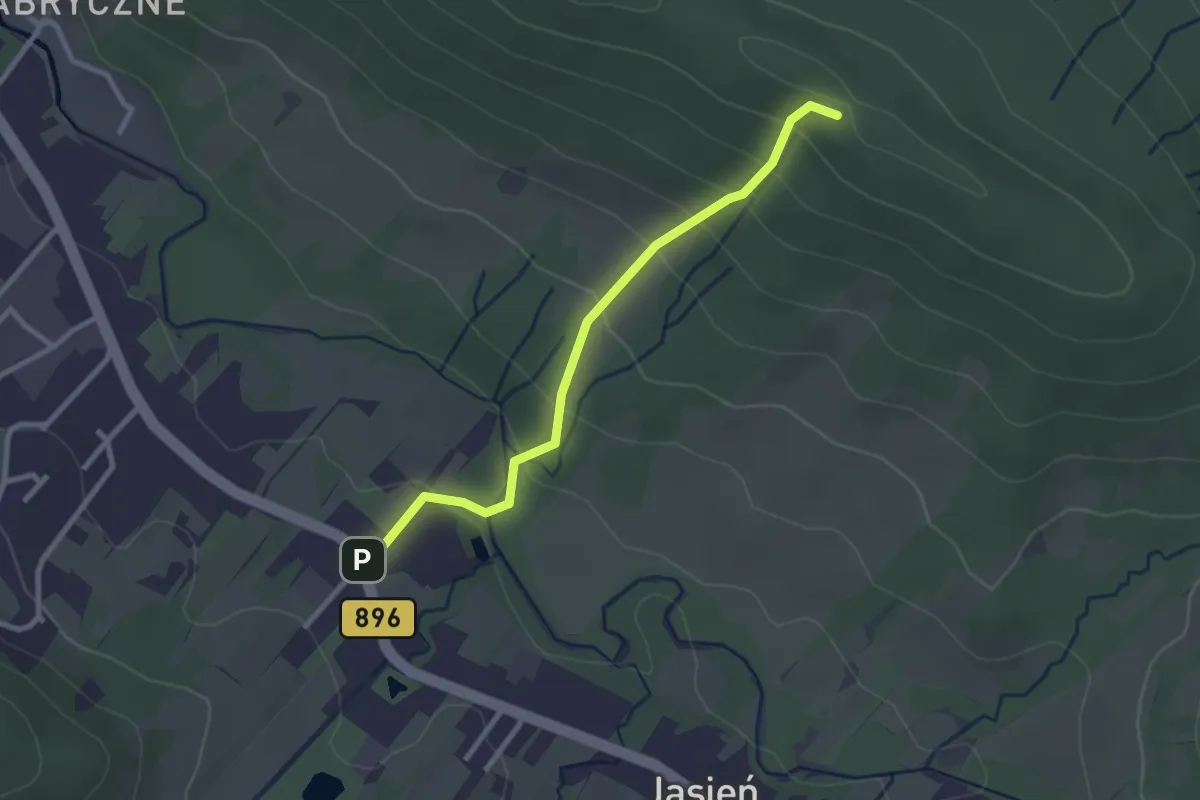
Easy · Summit
Ustrzyki Dolne - Orlik - Jasień
2.5 km · ↑ 163 m · 56 min
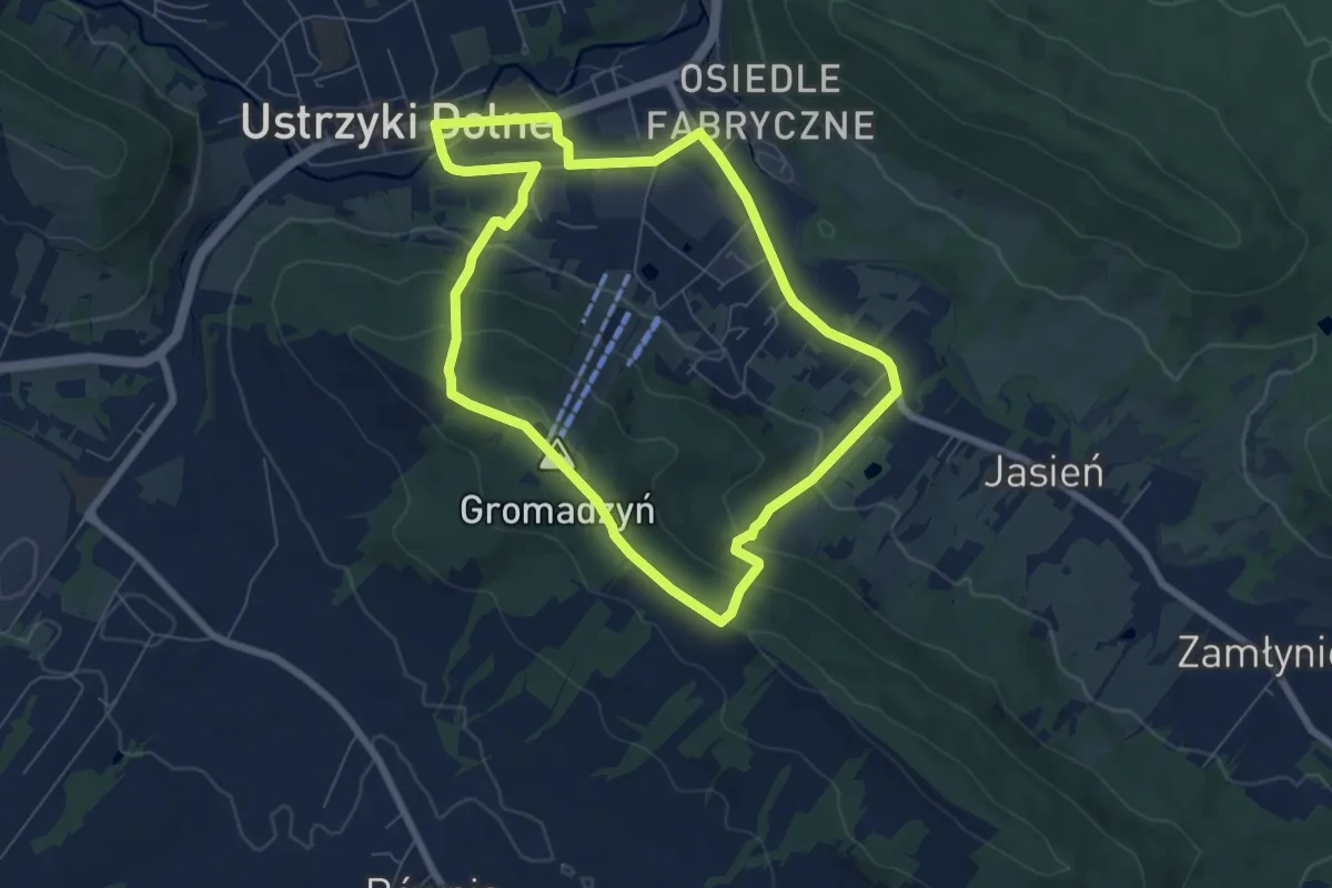
Easy · Summit
Ustrzyki Dolne (PKS)-Gromadzyń
6.5 km · ↑ 201 m · 2 h 3 min
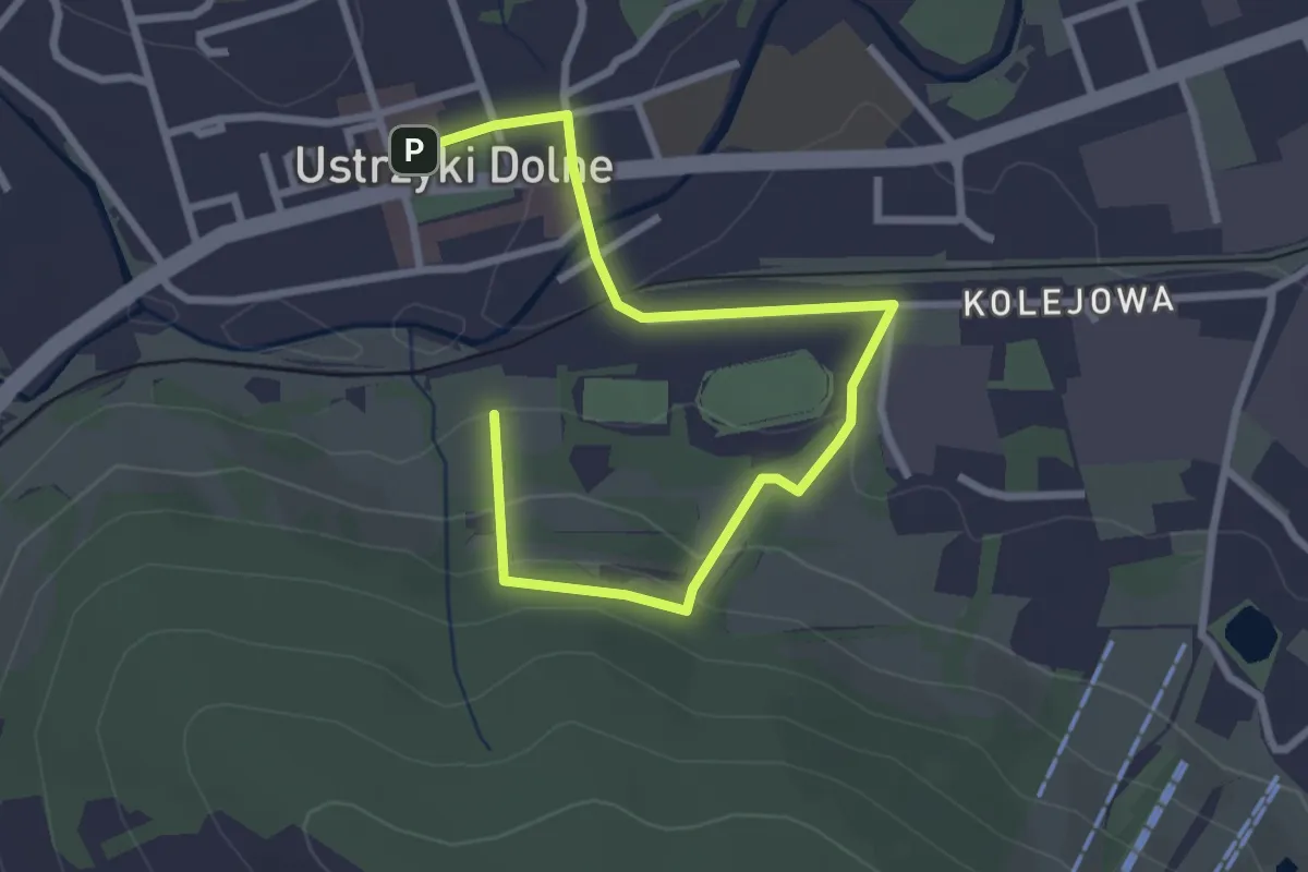
Easy · Trail
Ustrzyki Dolne (Rynek)-Cmentarz Żydowski
3.3 km · ↑ 124 m · 1 h 3 min
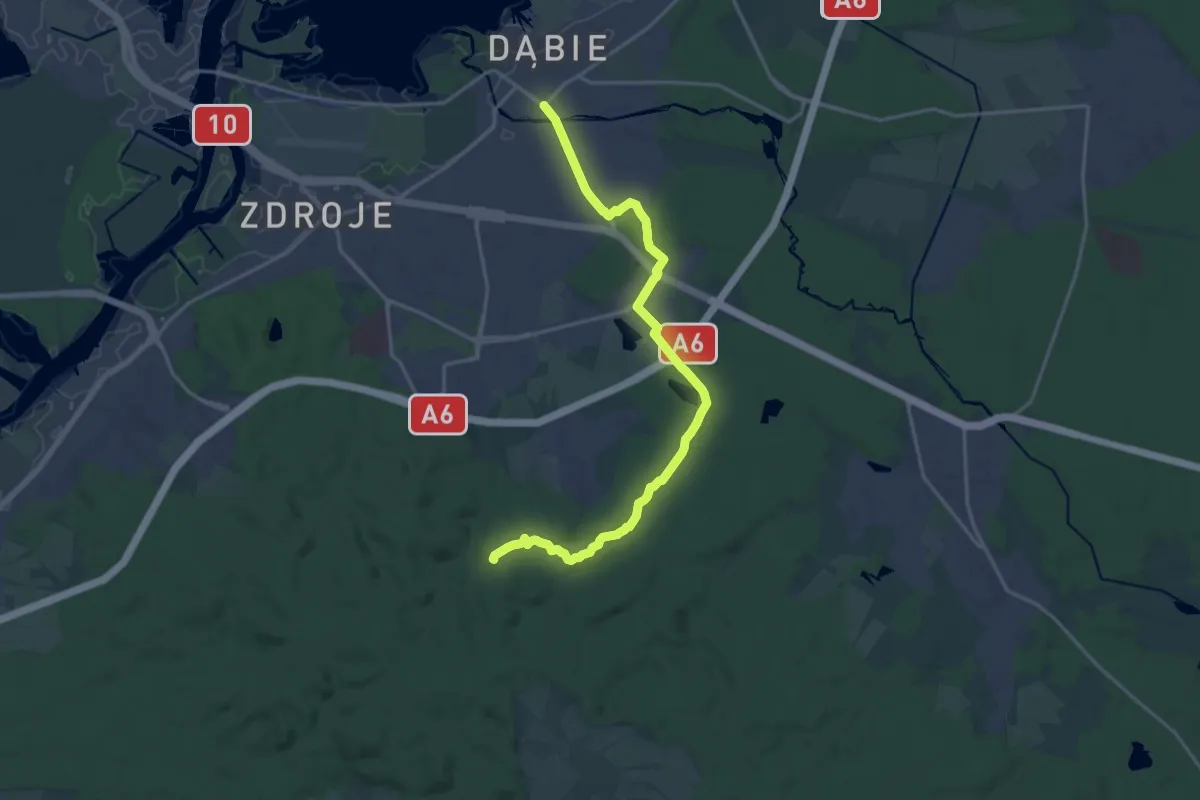
Medium · Summit
Vadam
16.9 km · ↑ 142 m · 4 h 18 min
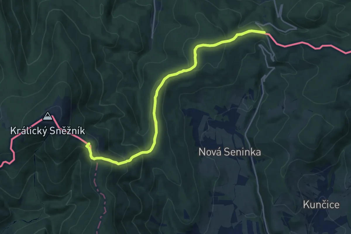
Medium · Summit
Via Czechia - Severní (10. Králický Sněžník)
13.8 km · ↑ 579 m · 4 h 31 min
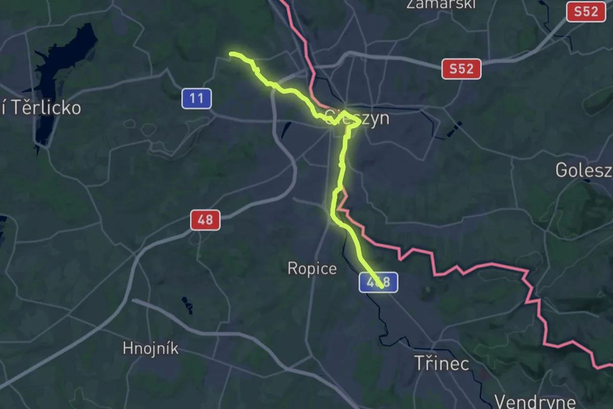
Demanding · Trail
Via Czechia - Slezskem (5. Ostravská pánev a Těšínská pahorkatina)
24.1 km · ↑ 157 m · 6 h 2 min
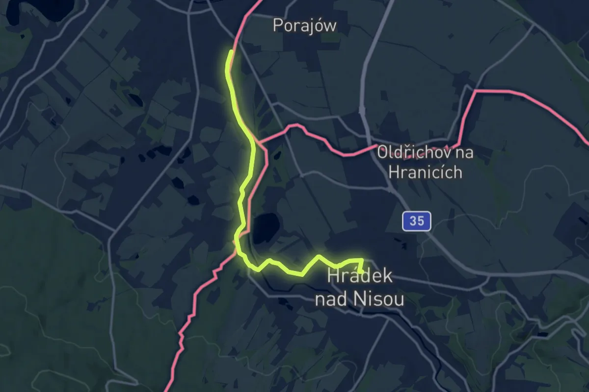
Medium · Trail
Via Nisa Crucis - Etapa 06
10.7 km · ↑ 45 m · 2 h 38 min
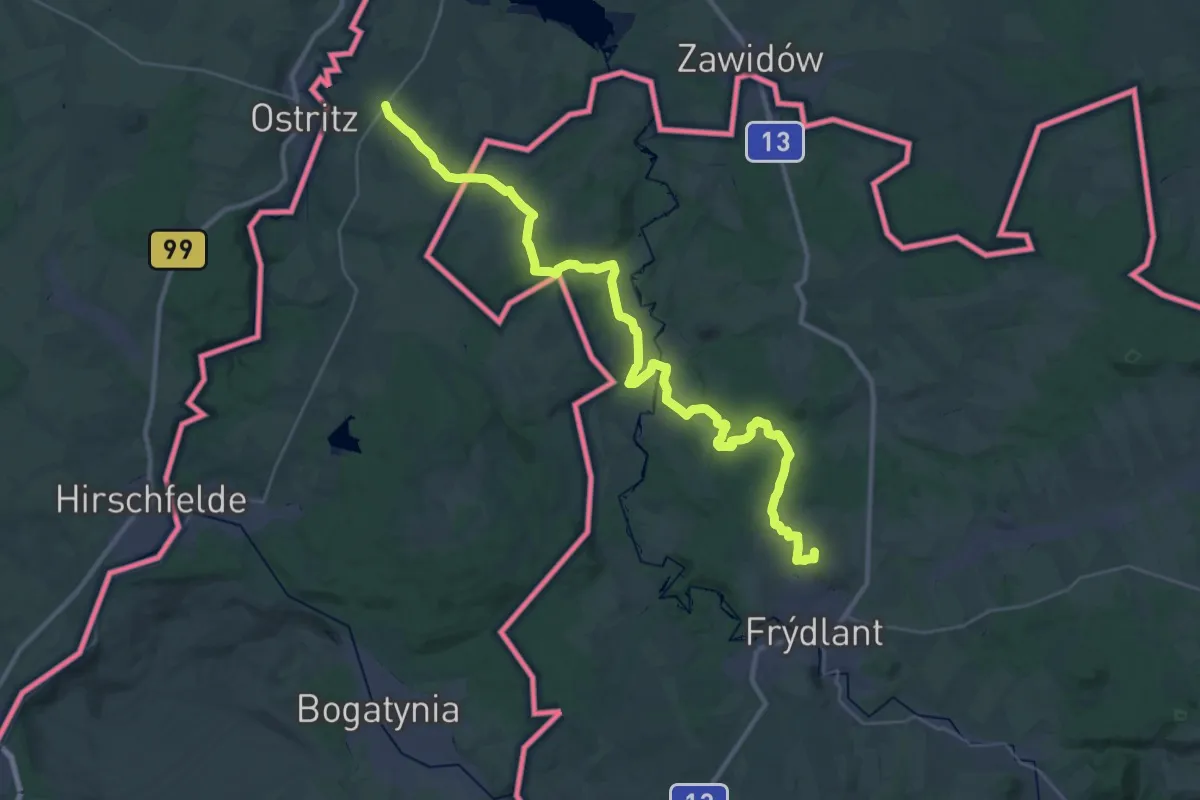
Demanding · Summit
Via Nisa Crucis - Etapa 07
37.3 km · ↑ 485 m · 9 h 51 min
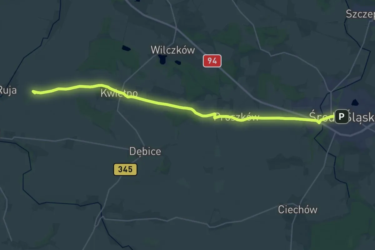
Medium · Summit
Via Regia
12.4 km · ↑ 56 m · 3 h 13 min
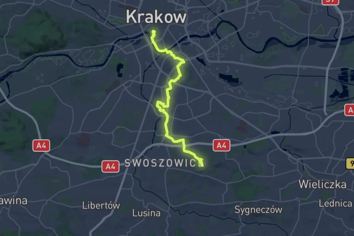
Demanding · Summit
Via Regia Droga św. Jakuba
25.3 km · ↑ 310 m · 6 h 39 min
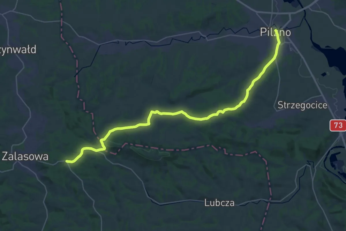
Medium · Trail
Via Regia Droga św. Jakuba
14.5 km · ↑ 353 m · 4 h 18 min
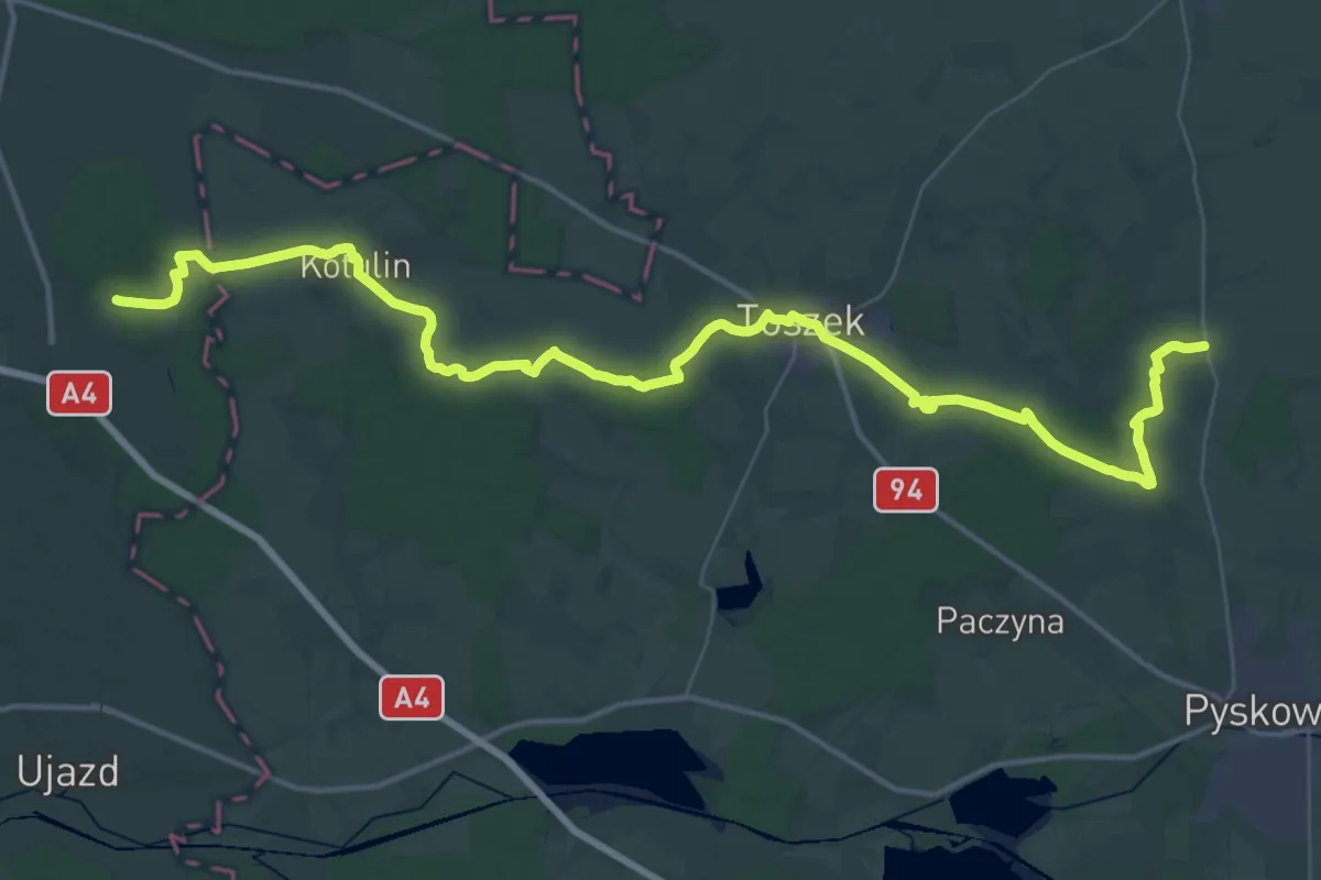
Demanding · Trail
Via Regia (GŚA)
25.4 km · ↑ 190 m · 6 h 45 min
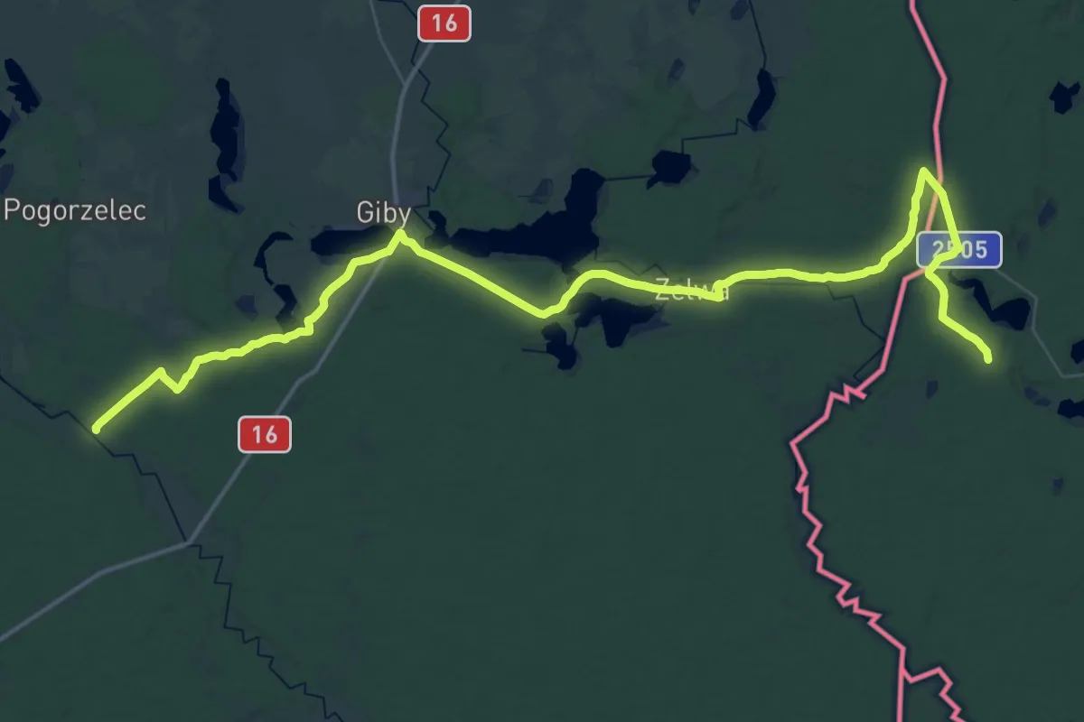
Demanding · Trail
Vilnius-Vygriai
27.1 km · ↑ 135 m · 7 h 4 min
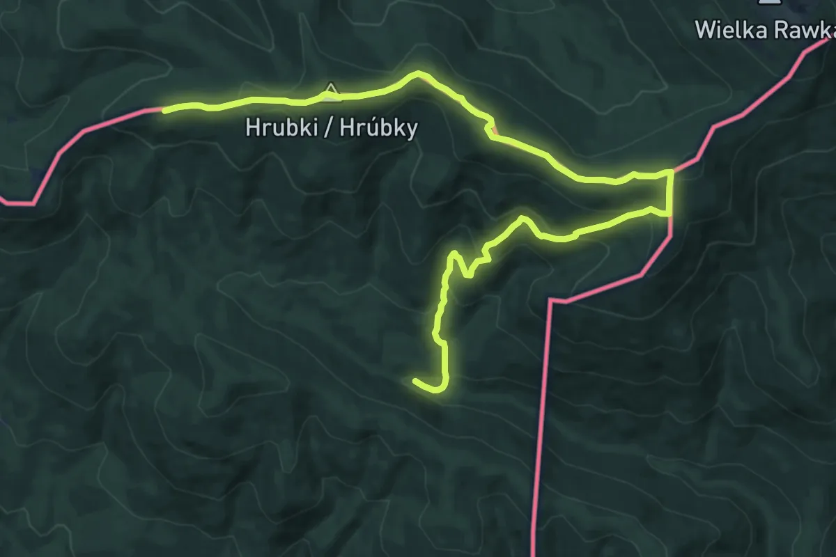
Demanding · Trail
Východokarpatská magistrála
16.0 km · ↑ 885 m · 5 h 42 min
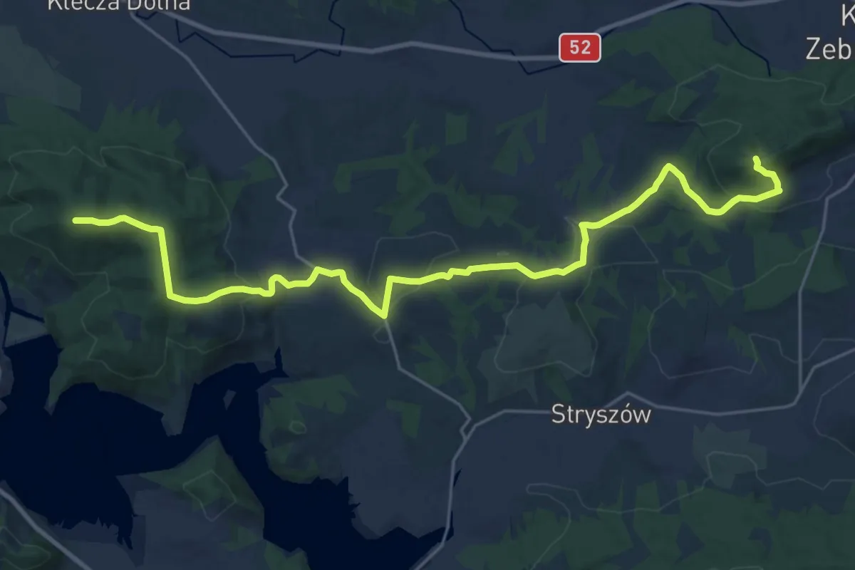
Demanding · Summit
Wadowice - Żar
24.2 km · ↑ 679 m · 7 h 11 min
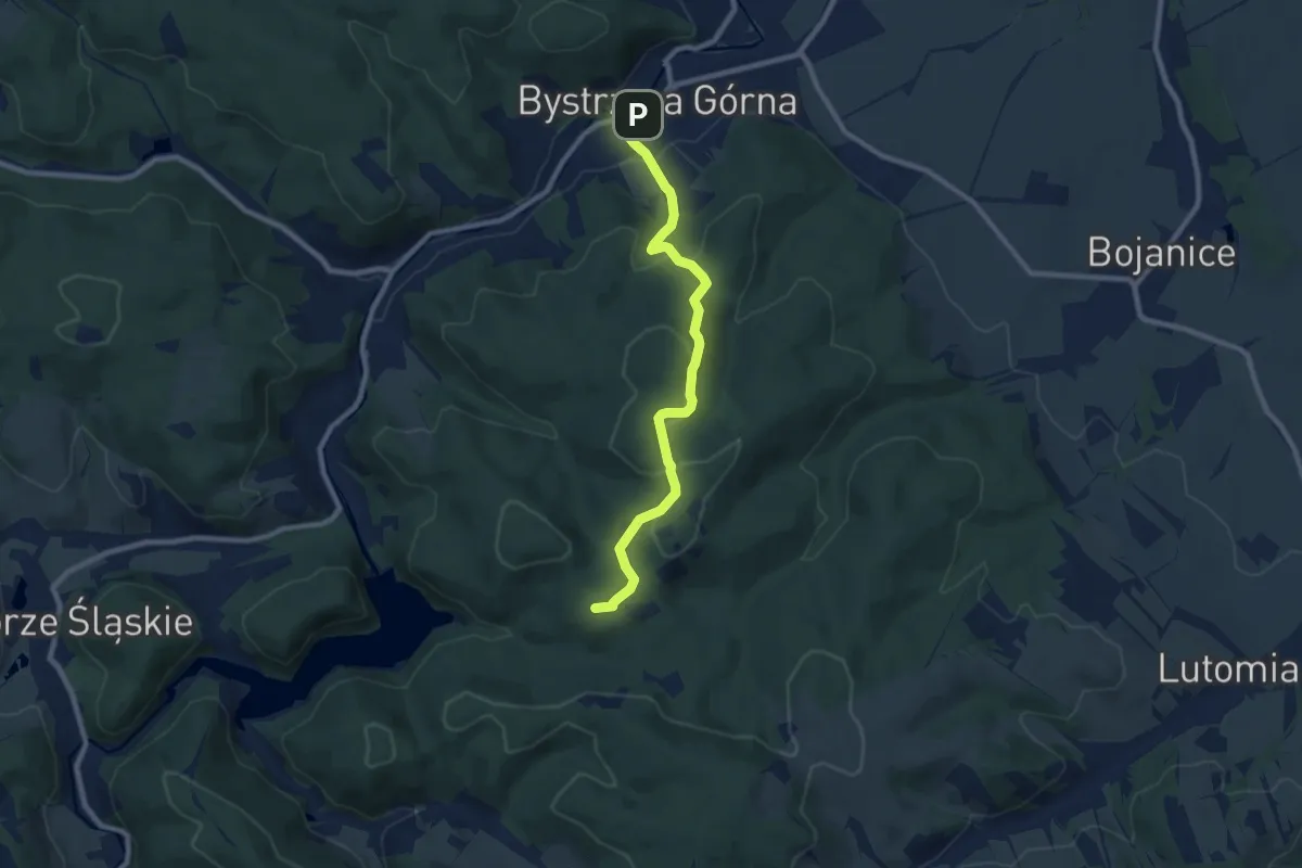
Medium · Summit
Waga – Bystrzyca Górna
8.0 km · ↑ 318 m · 2 h 35 min
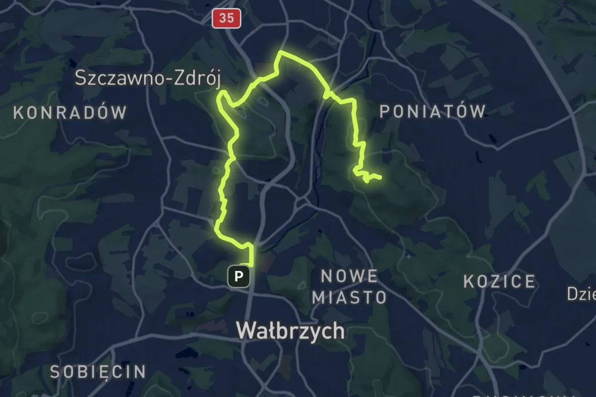
Medium · Summit
Wałbrzych Centrum - Wałbrzych Szczawienko
17.7 km · ↑ 457 m · 5 h 11 min
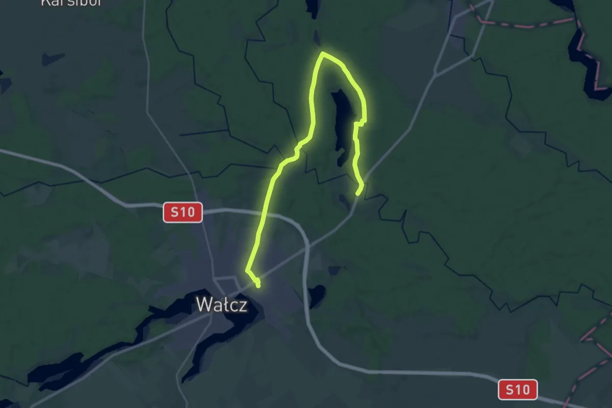
Demanding · Trail
Wałcz PKP - Ostrowiec PKS
26.1 km · ↑ 124 m · 6 h 25 min
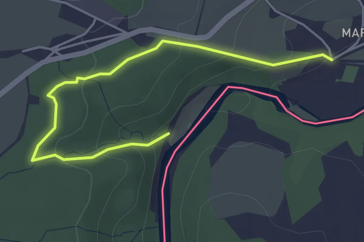
Easy · Trail
Walderlebnispfad Kloster St. Marienthal
3.8 km · ↑ 150 m · 1 h 14 min
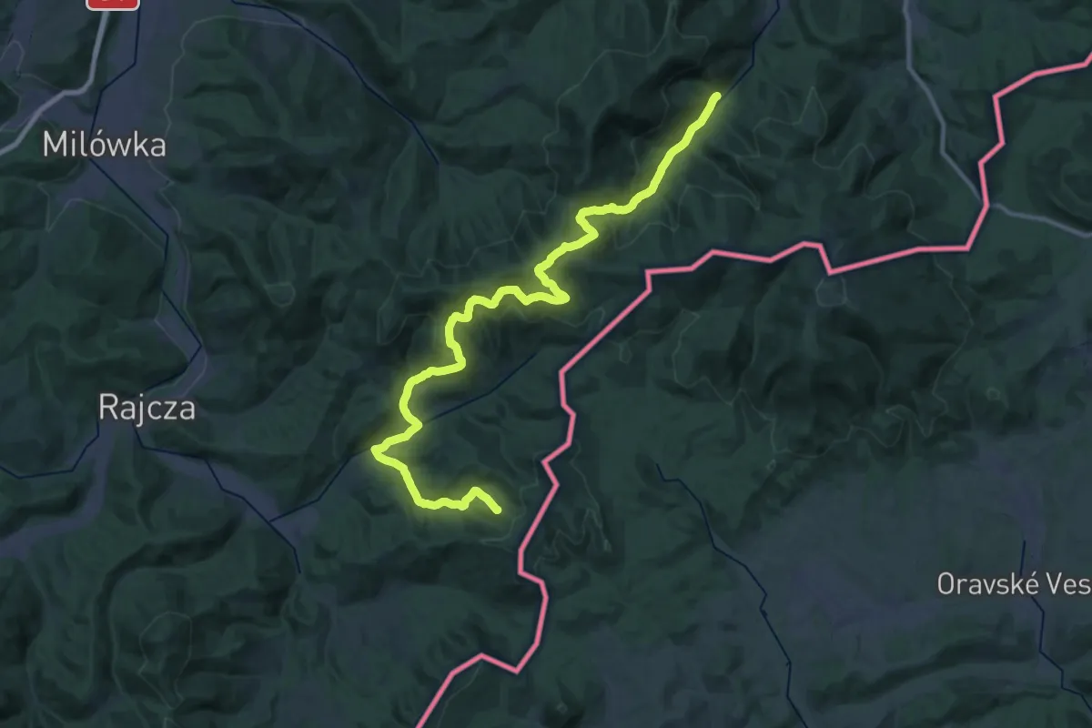
Demanding · Summit
Wałęgowka - Bacówka PTTK Krawców Wierch
39.7 km · ↑ 2080 m · 13 h 53 min
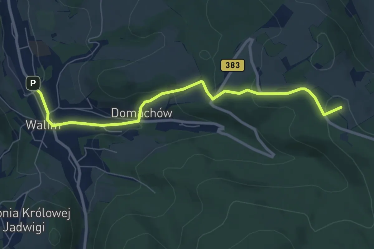
Easy · Summit
Walim – Przełęcz Walimska
6.0 km · ↑ 253 m · 1 h 58 min
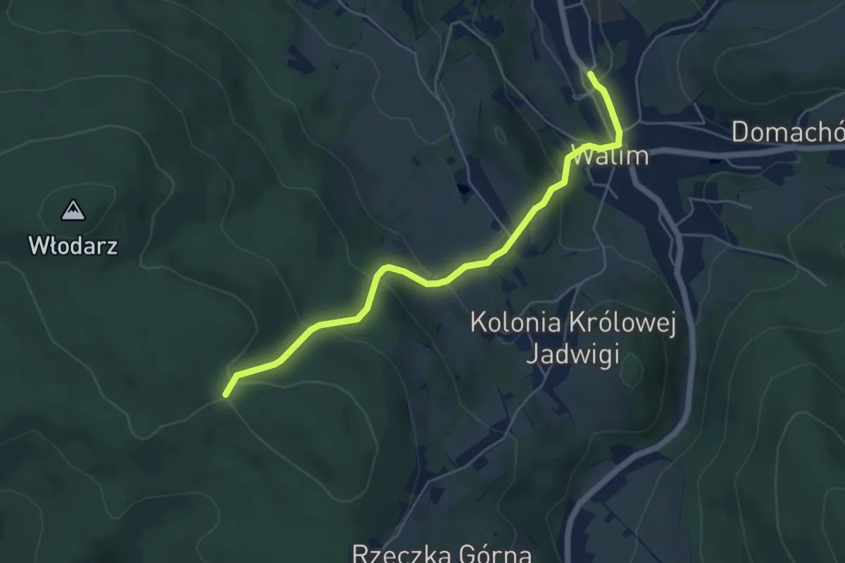
Easy · Trail
Walim - Rozdroże pod Moszną
4.9 km · ↑ 249 m · 1 h 42 min
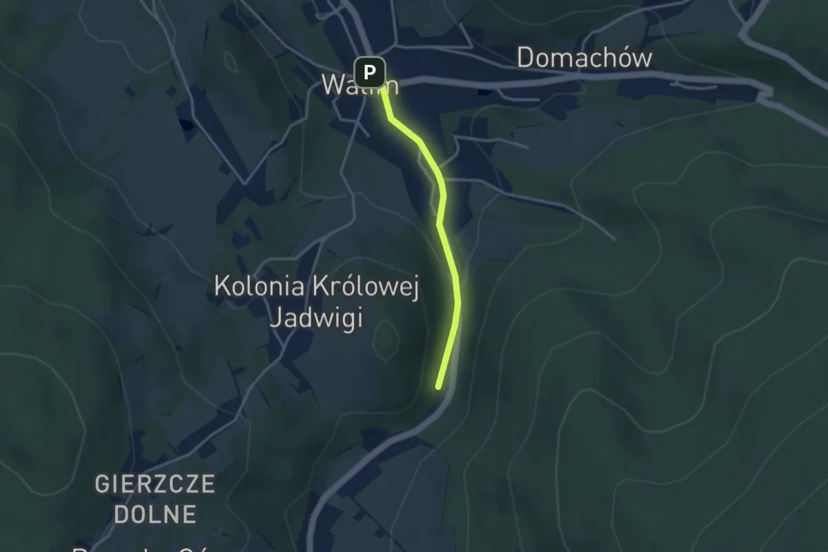
Easy · Trail
Walim - Rzeczka
2.4 km · ↑ 68 m · 42 min
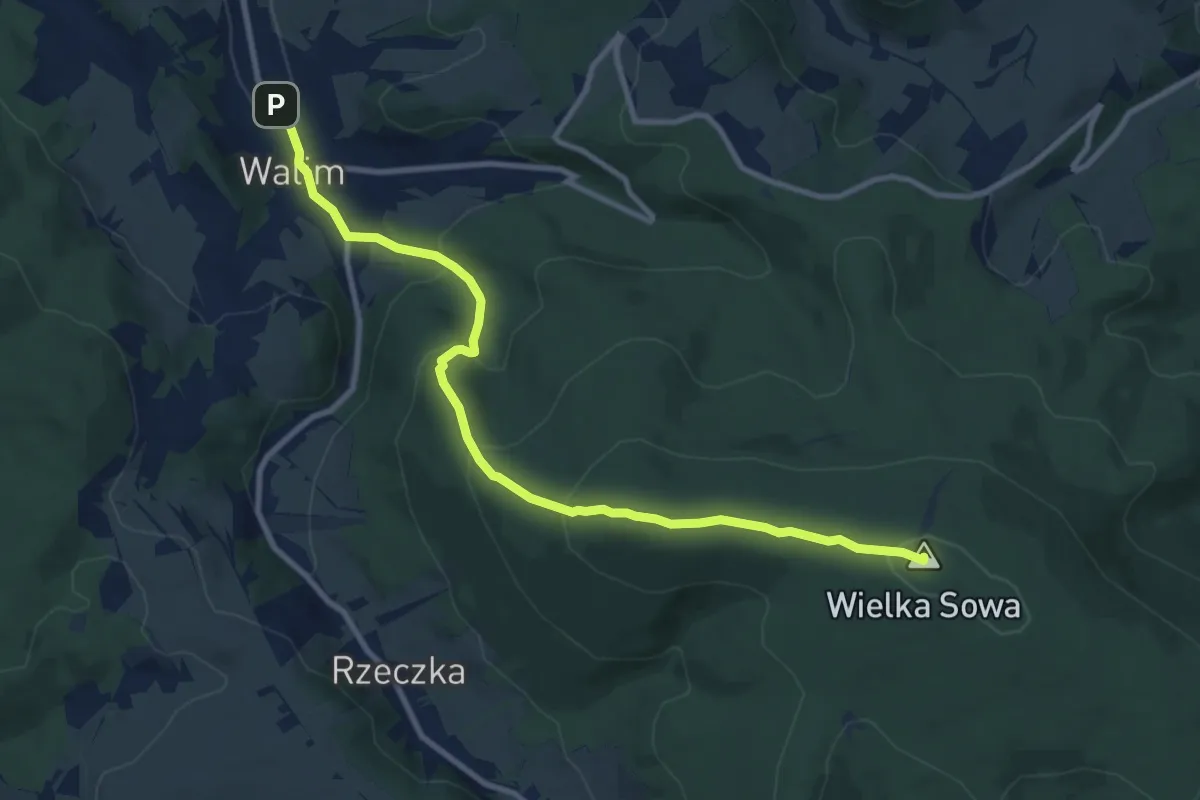
Medium · Summit
Walim – Wielka Sowa
9.8 km · ↑ 517 m · 3 h 26 min
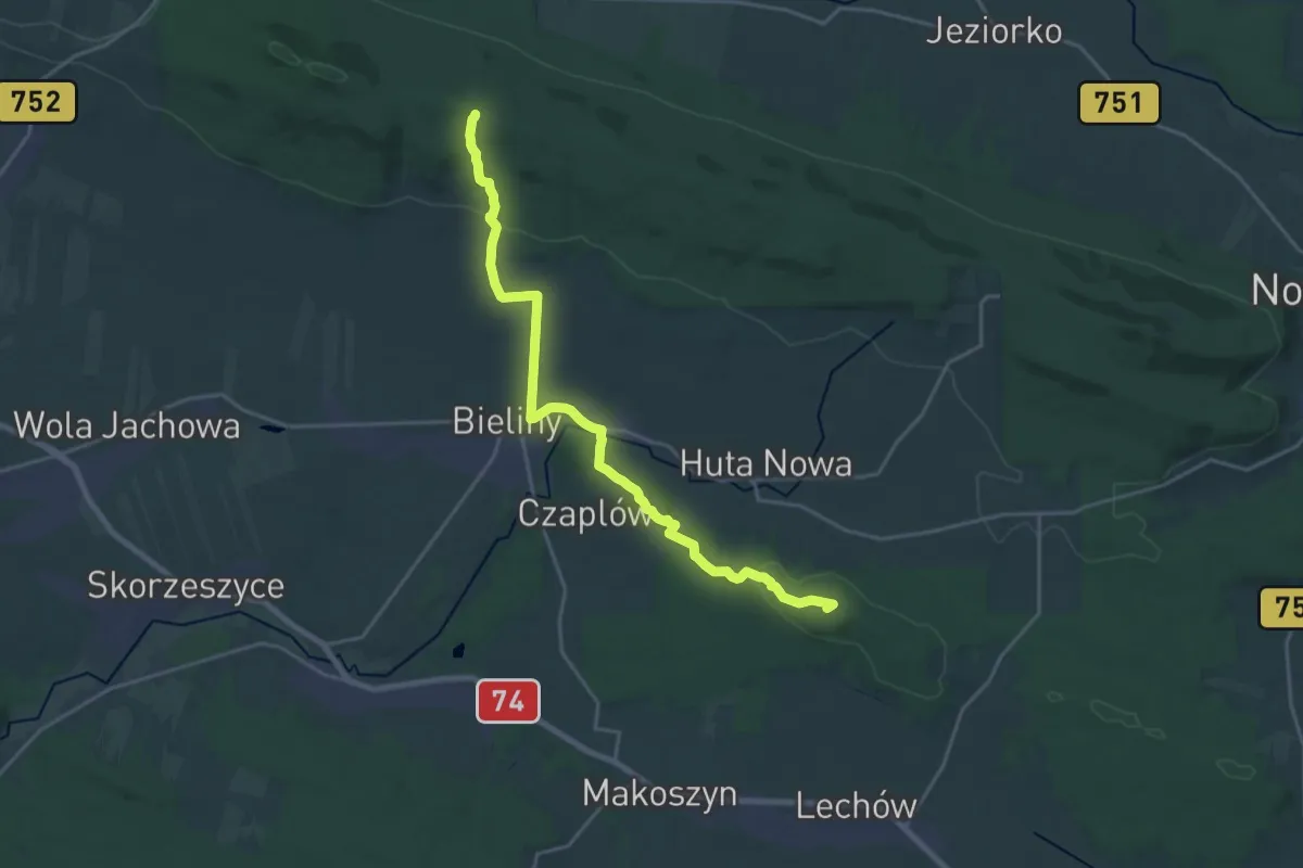
Demanding · Summit
Wał Małacentowski - kapliczka świętego Mikołaja
20.0 km · ↑ 472 m · 5 h 45 min
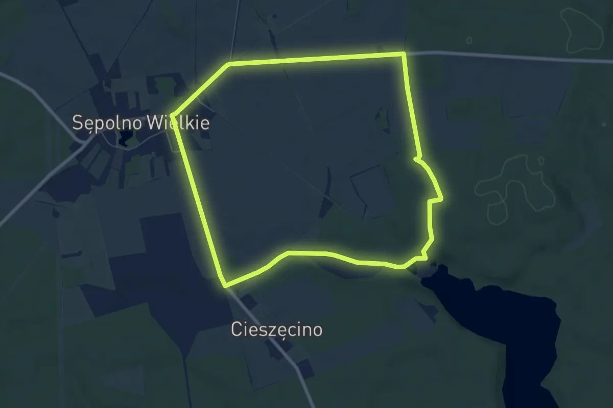
Easy · Trail
Wał Pomorski trasa nr 1
6.3 km · ↑ 48 m · 1 h 40 min
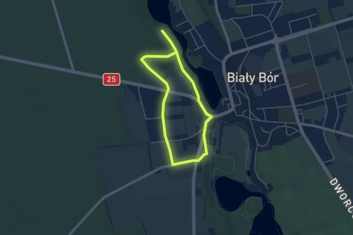
Easy · Trail
Wał Pomorski trasa nr 2
2.8 km · ↑ 31 m · 45 min