Trails in Poland
2,893 hiking trails, each with its route, climb, walking time and grade.
All trails, page 58 of 61
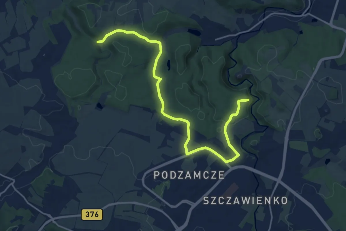
Medium · Trail
Zamek Stary Książ - Zamek Cisy
13.8 km · ↑ 142 m · 3 h 34 min
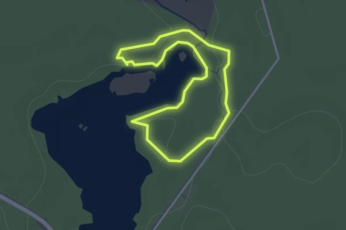
Easy · Trail
Zamek w Stobnicy Leśna Ścieżka Edukacyjna
2.2 km · ↑ 16 m · 35 min
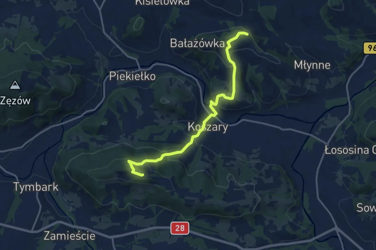
Medium · Summit
Zamieście - Pasierbiec
10.0 km · ↑ 475 m · 3 h 24 min
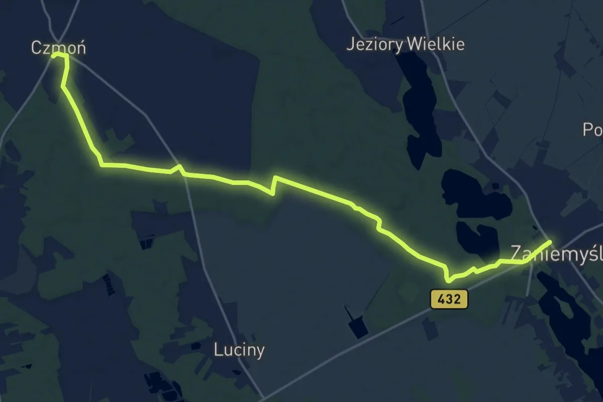
Demanding · Trail
Zaniemyśl – Czmoń
19.6 km · ↑ 69 m · 4 h 46 min
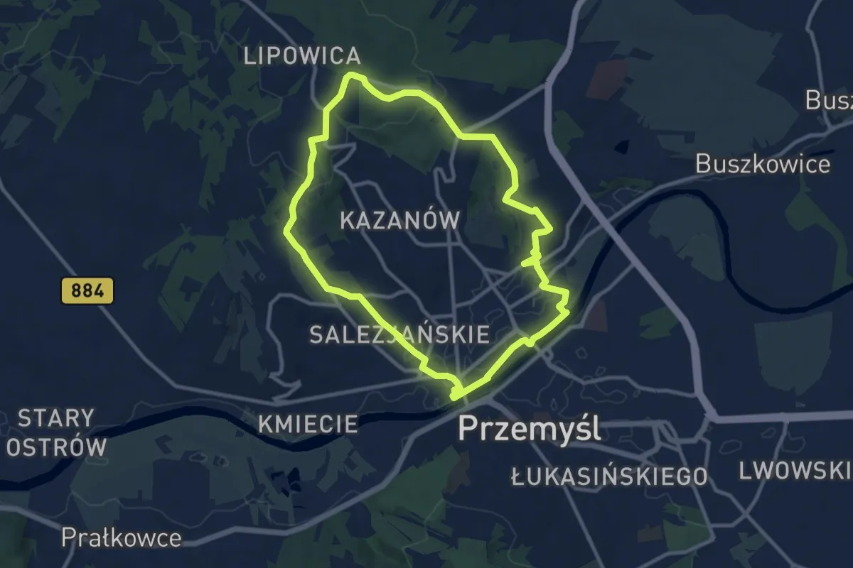
Medium · Trail
Zasański Szlak Spacerowy
9.1 km · ↑ 138 m · 2 h 34 min
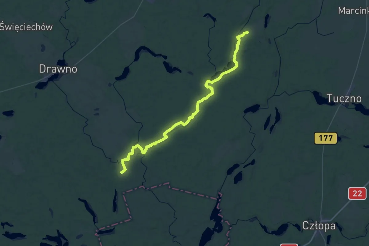
Demanding · Trail
Zatom - Nowa Studnica
23.8 km · ↑ 166 m · 6 h 19 min
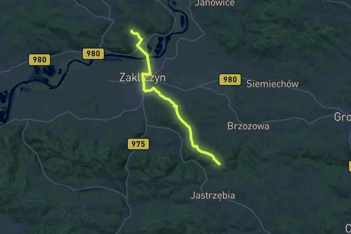
Demanding · Trail
Zawada Lanckorońska - Sucha Góra Zachodnia
20.8 km · ↑ 338 m · 5 h 38 min
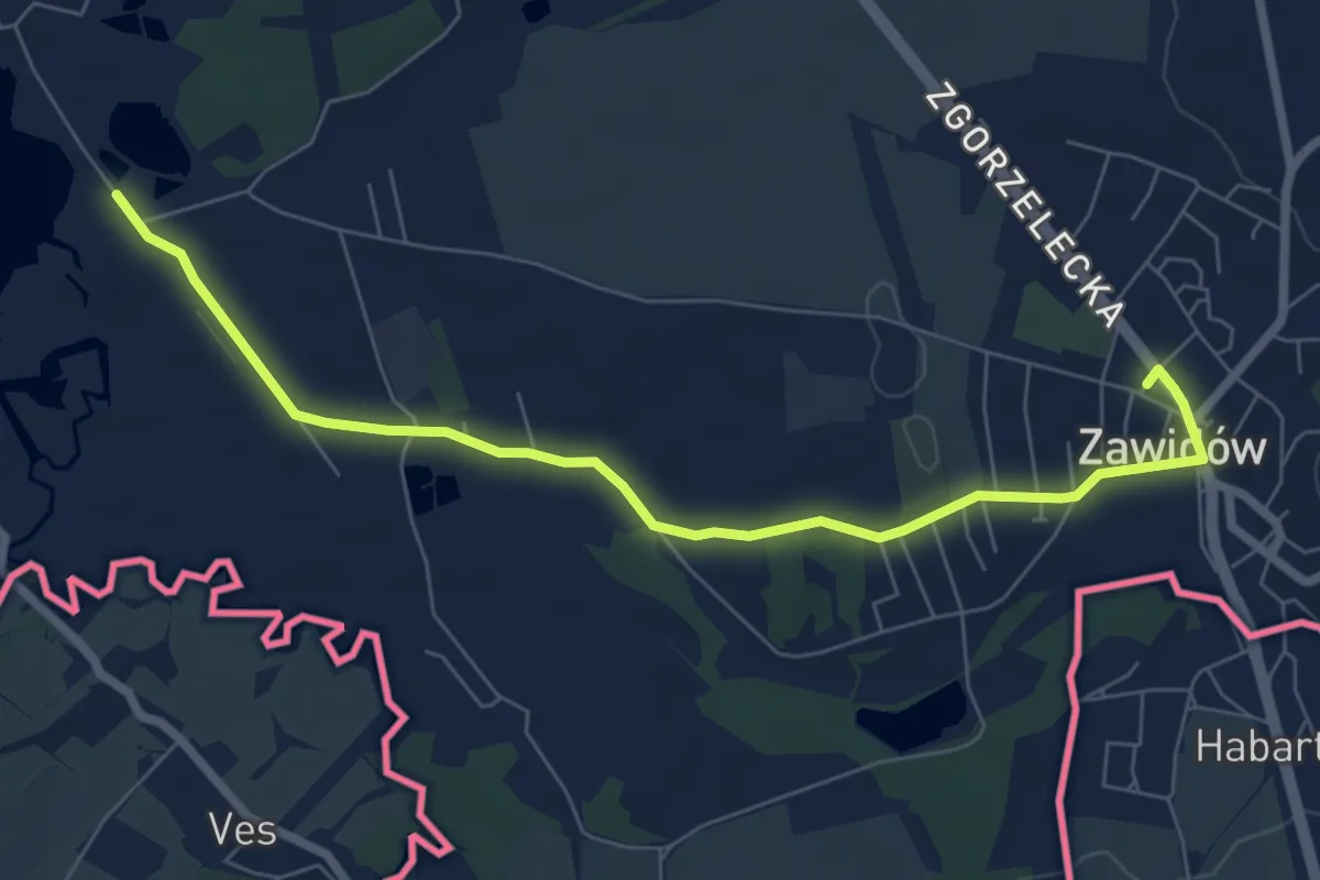
Easy · Trail
Zawidów - Gryfów Śl.
6.9 km · ↑ 50 m · 1 h 44 min
Demanding · Cabin
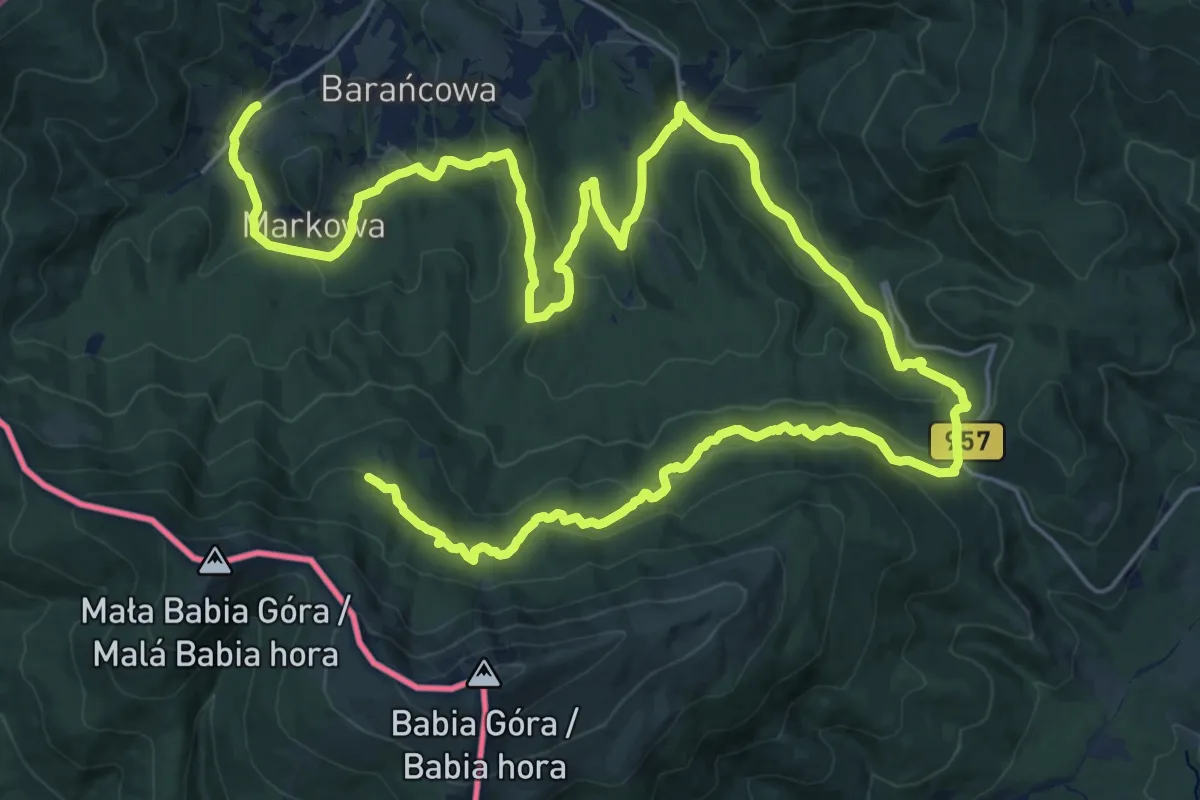
Zawoja Czatoża - Markowe Szczawiny
18.9 km · ↑ 1096 m · 6 h 51 min
Medium · Summit
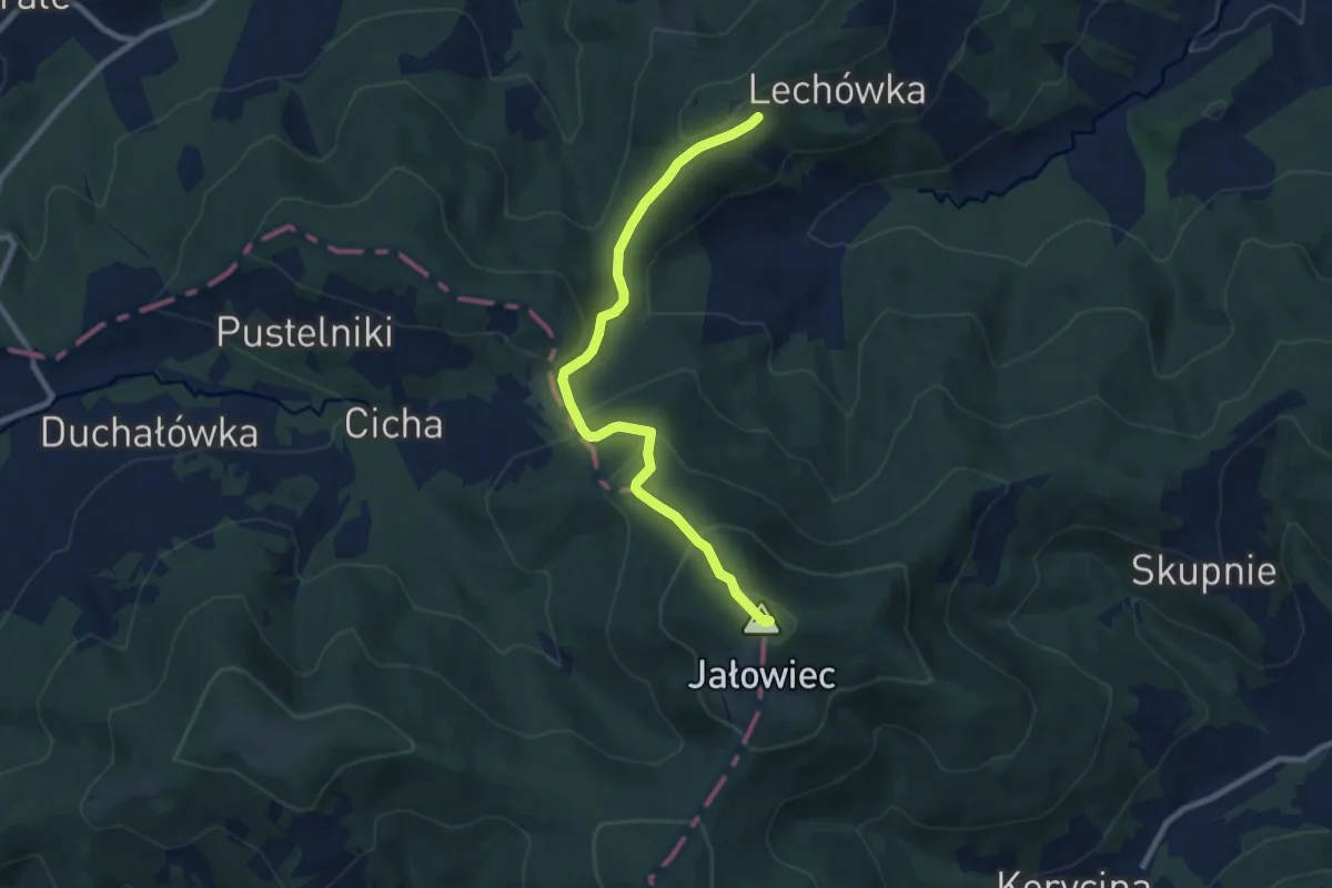
Zawoja - Lachowice
8.3 km · ↑ 517 m · 3 h 5 min
Medium · Summit
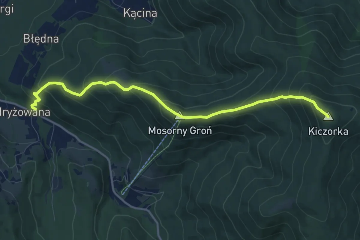
Zawoja Lajkonik - Cyl Hali Śmietanowej
9.3 km · ↑ 613 m · 3 h 31 min
Medium · Trail
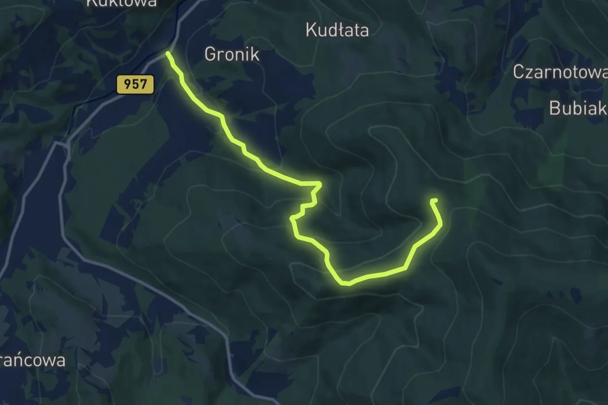
Zawoja Mosorne - Nad Kiczorką
10.6 km · ↑ 560 m · 3 h 42 min
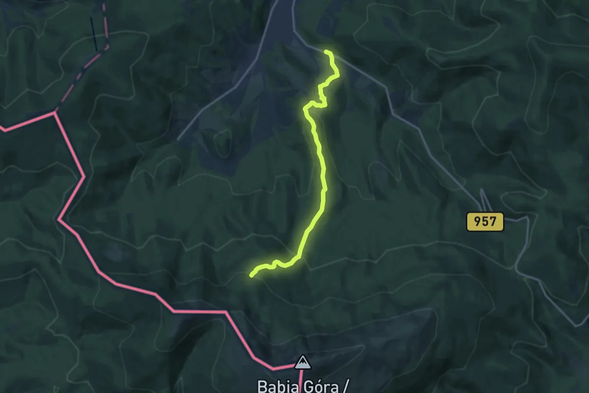
Medium · Cabin
Zawoja Podryzowane - Schronisko PTTK na Markowych Szczawinach
11.3 km · ↑ 576 m · 3 h 55 min
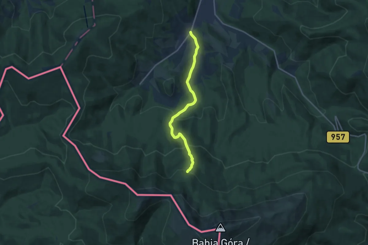
Medium · Cabin
Zawoja Składy - Markowe Szczawiny
9.9 km · ↑ 566 m · 3 h 34 min
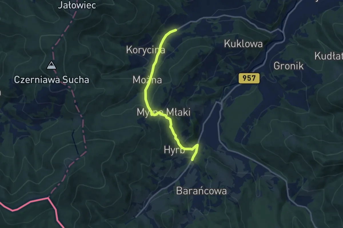
Medium · Trail
Zawoja Wełcza - Zawoja Małe widełki
9.3 km · ↑ 420 m · 3 h 6 min
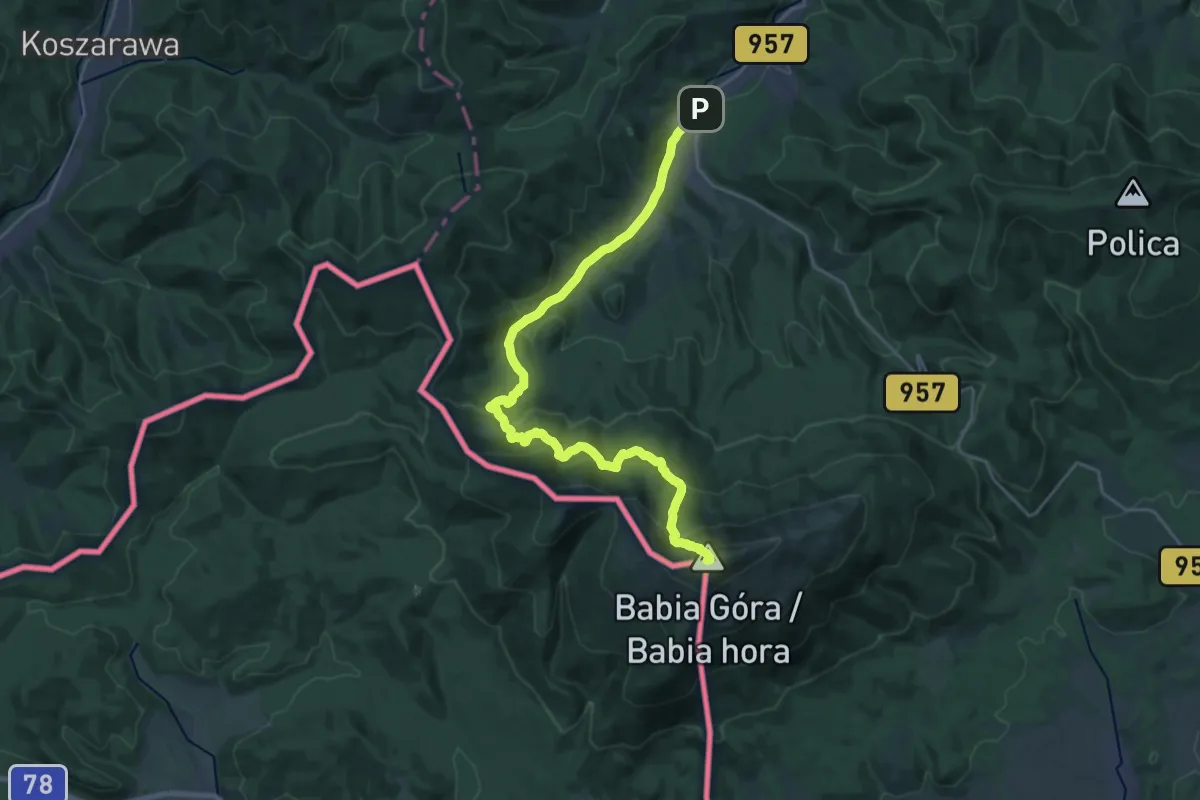
Demanding · Summit
Zawoja Widły - Markowe Szczawiny - Babia Góra
24.7 km · ↑ 1364 m · 8 h 47 min
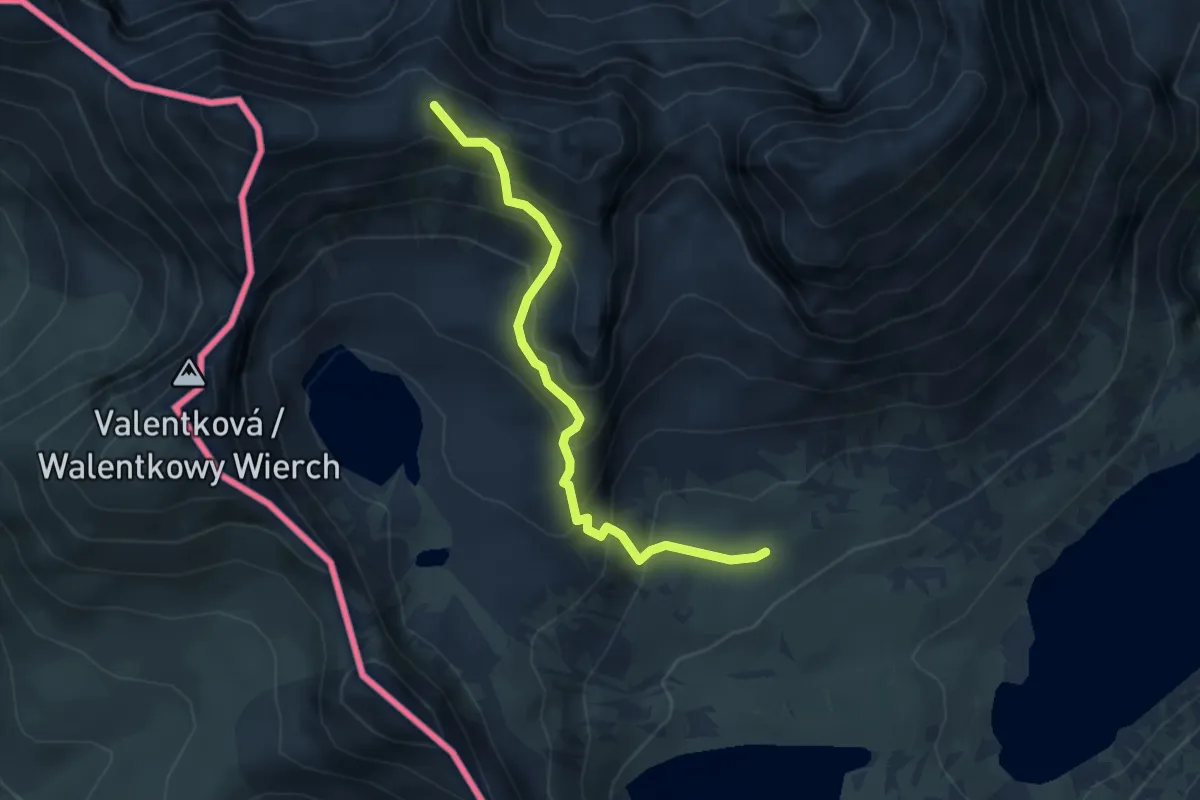
Medium · Summit
Zawrat - Wyżnie Solnisko
3.8 km · ↑ 432 m · 1 h 49 min
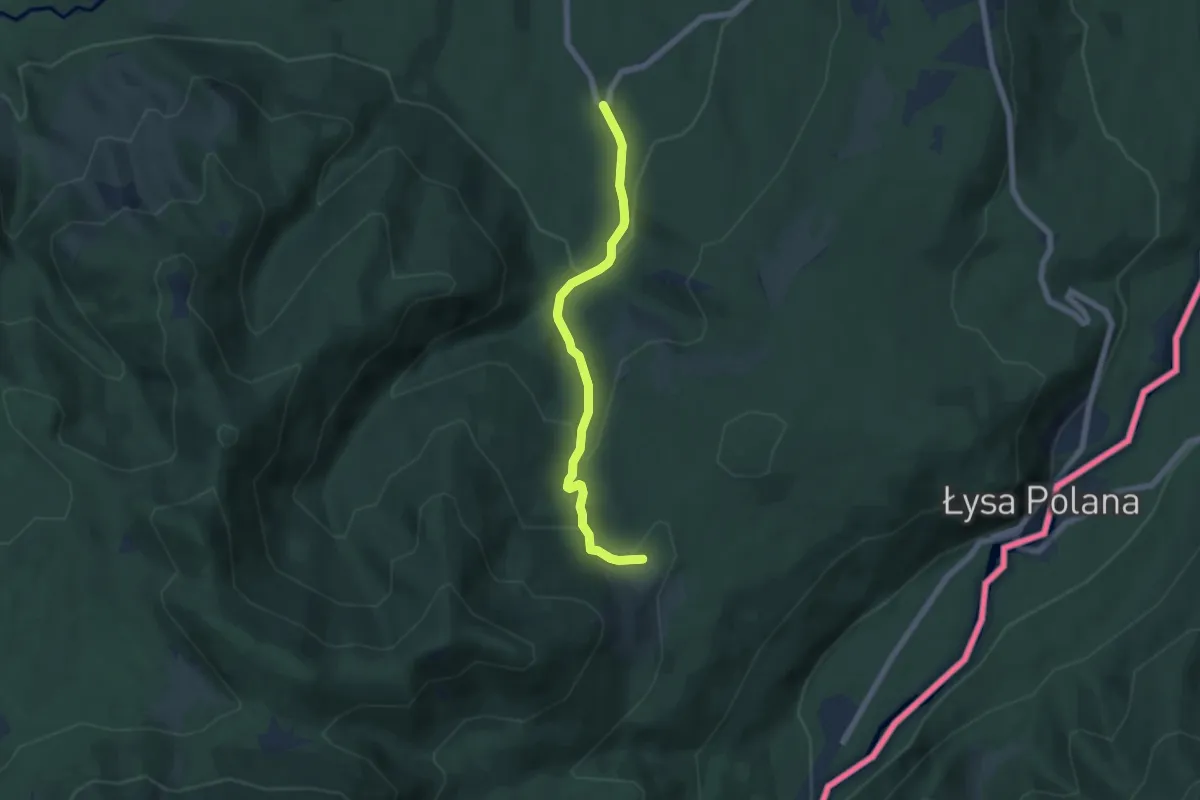
Medium · Trail
Zazadnia - Rusinowa Polana
5.4 km · ↑ 277 m · 1 h 52 min
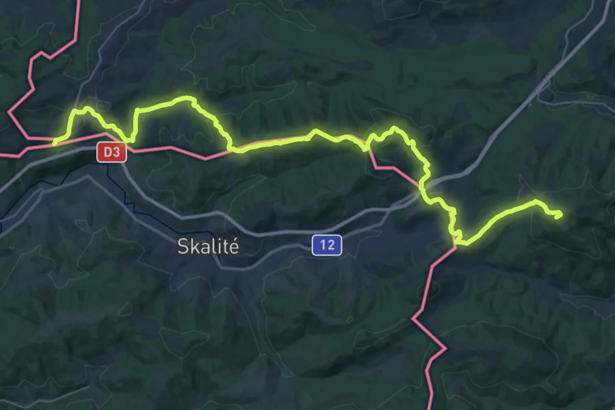
Demanding · Summit
Zbójnicka Ścieżka Trzech Harnasi
34.4 km · ↑ 1251 m · 10 h 50 min
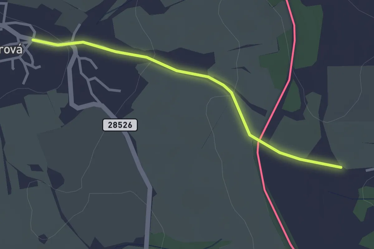
Easy · Trail
[Z] Borová (CZ) - Borová (PL)
2.4 km · ↑ 52 m · 41 min
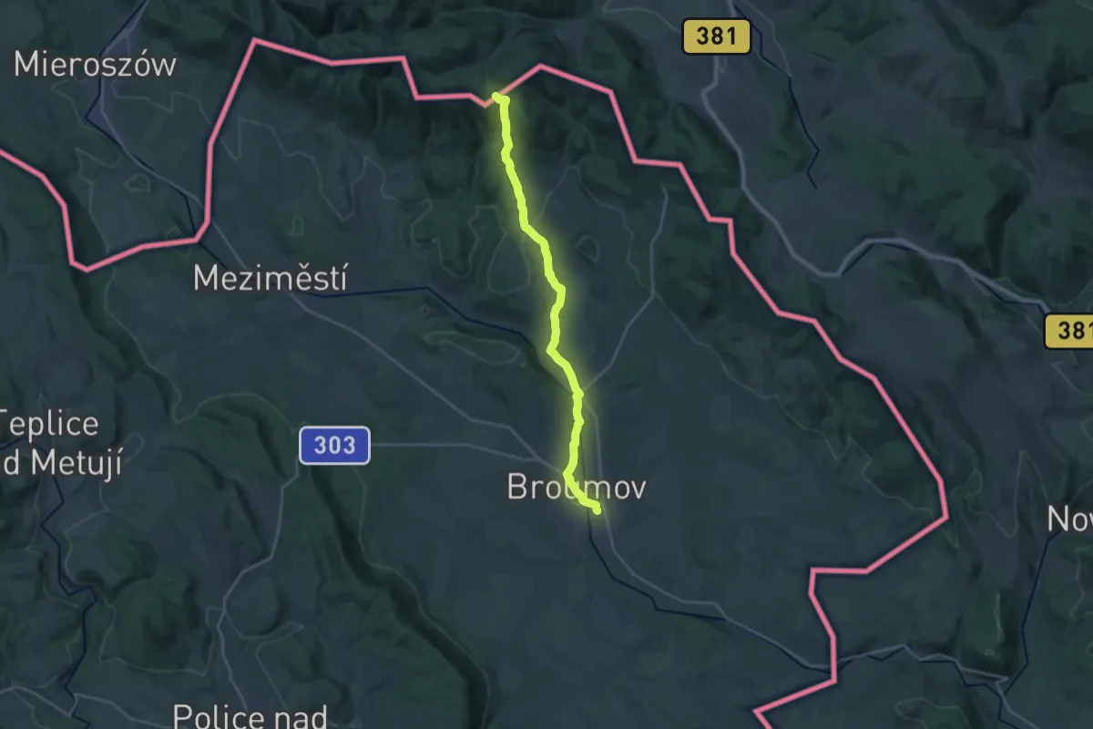
Demanding · Trail
[Ž] Broumov - Javorový vrch
20.7 km · ↑ 449 m · 5 h 51 min
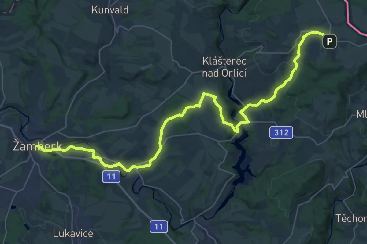
Medium · Trail
[Z] České Petrovice - Žamberk
16.2 km · ↑ 114 m · 4 h 25 min
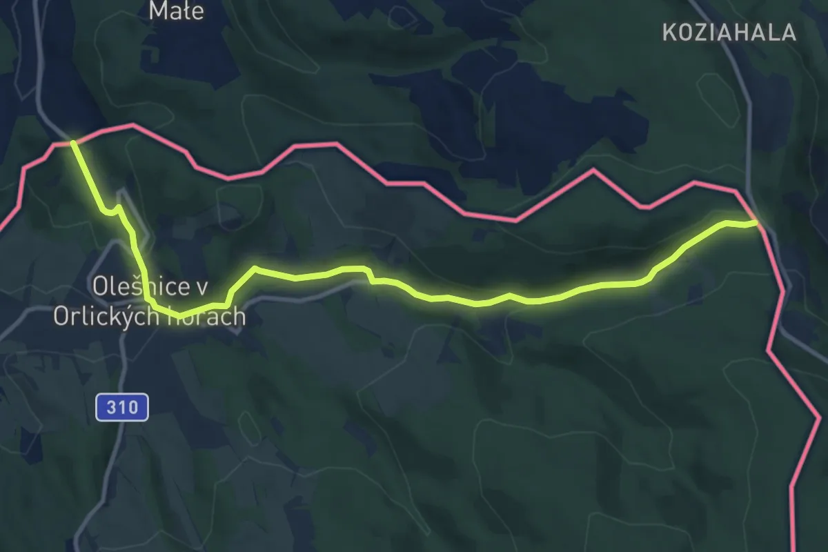
Medium · Trail
[Ž] Číhalka - Olešnice v Orl. h. (nám.) - Olešnice v Orl. h. (CZ/PL)
10.6 km · ↑ 300 m · 3 h 9 min
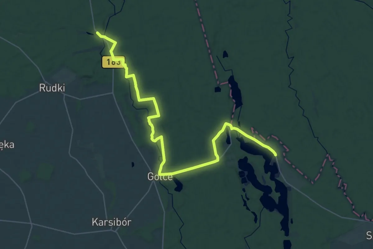
Demanding · Trail
Zdbice - Iłowiec
31.9 km · ↑ 165 m · 7 h 53 min
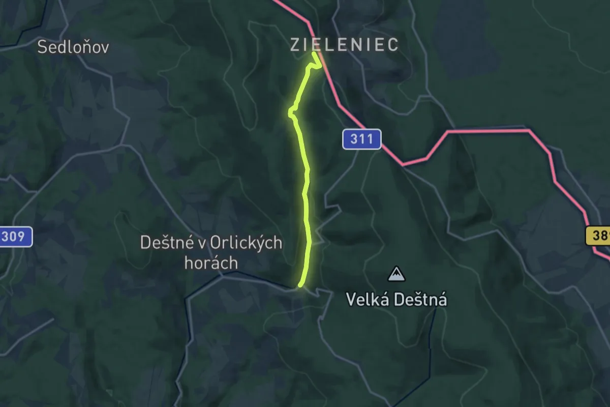
Medium · Trail
[Z] Deštné v Orl. horách, Zákoutí - Bukačka (přír. rez.)
9.3 km · ↑ 292 m · 2 h 49 min
Easy · Trail
Żebra Żubra
5.4 km · ↑ 17 m · 1 h 18 min
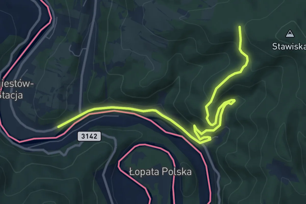
Medium · Trail
Żegiestów - Bacówka PTTK pod Wierchomlą
8.5 km · ↑ 430 m · 2 h 57 min
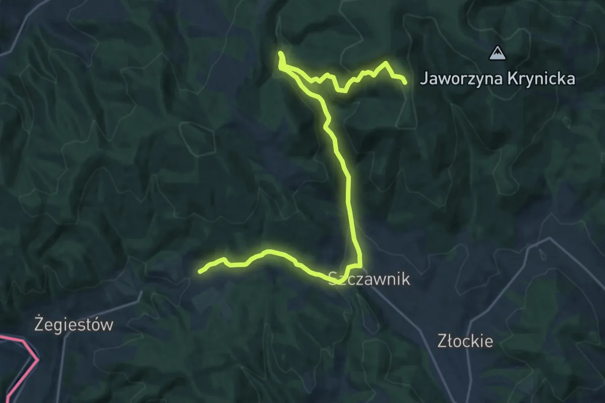
Demanding · Trail
Żegiestów Palenica - pod Wielką Bukową
20.6 km · ↑ 840 m · 6 h 42 min
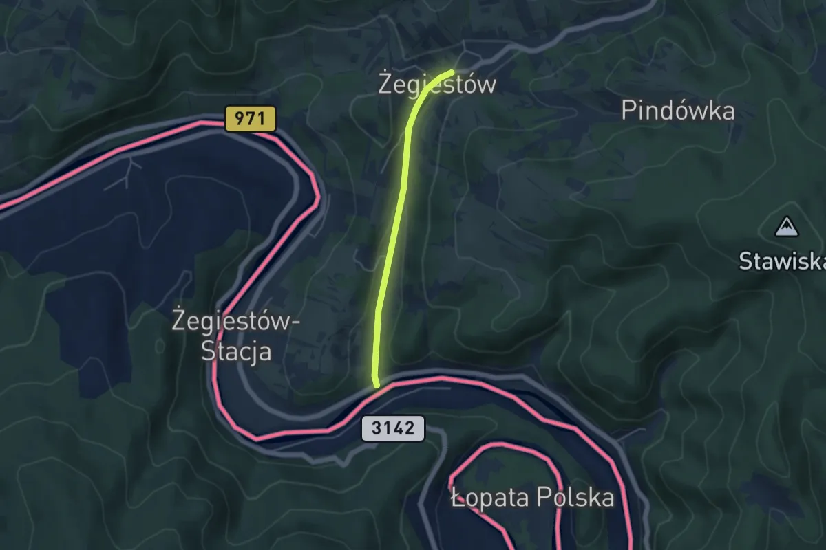
Easy · Trail
Żegiestów - Pusta Wielka
3.4 km · ↑ 64 m · 57 min
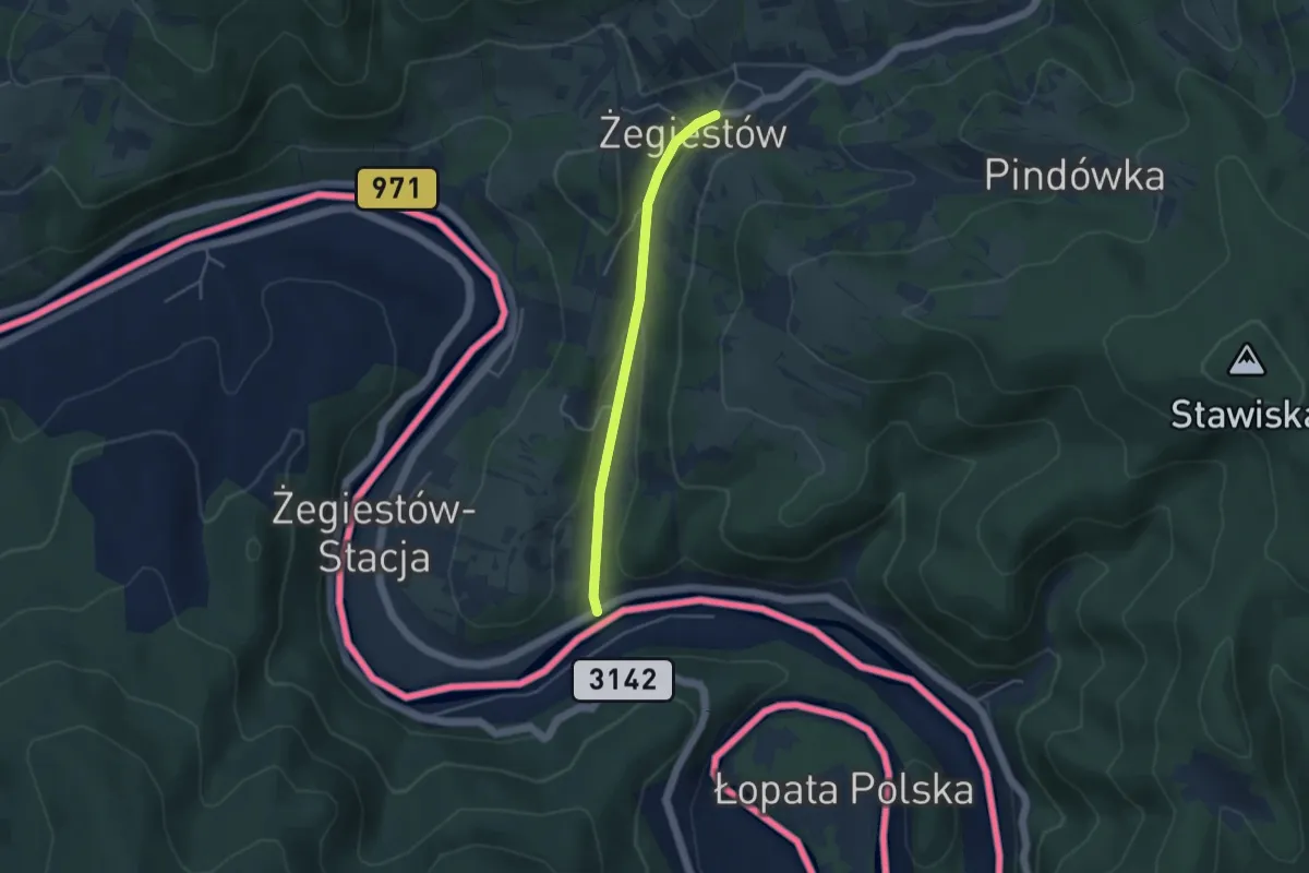
Easy · Trail
Żegiestów - Szczawnik
3.4 km · ↑ 64 m · 57 min
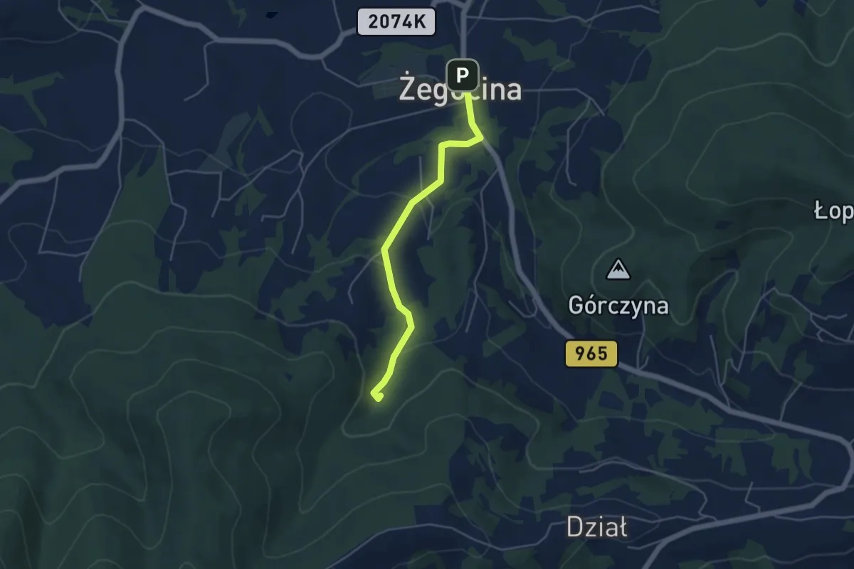
Easy · Trail
Żegocina centrum - Żródło Zuber
4.0 km · ↑ 139 m · 1 h 14 min
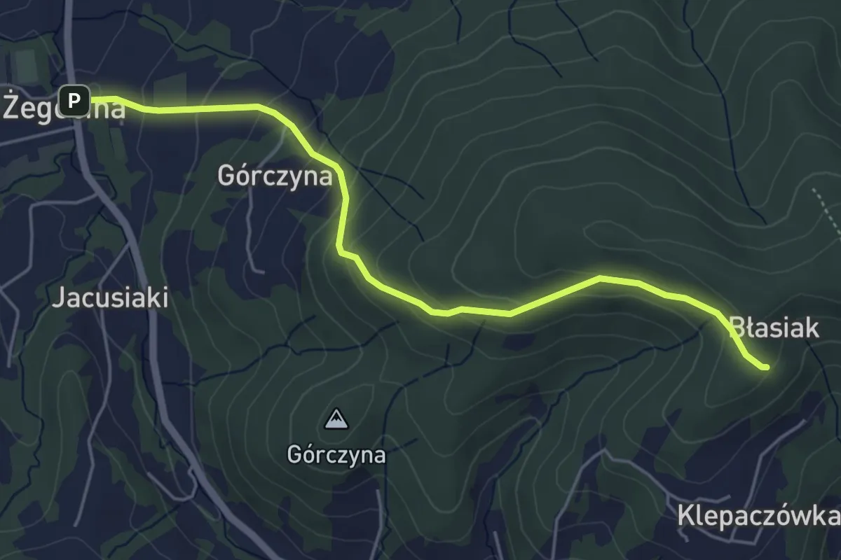
Easy · Trail
Żegocina - Łopusze Zachodnie
4.9 km · ↑ 270 m · 1 h 44 min
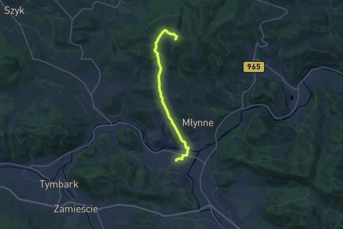
Medium · Summit
Żegocina - Łososina Górna
13.0 km · ↑ 473 m · 4 h 6 min
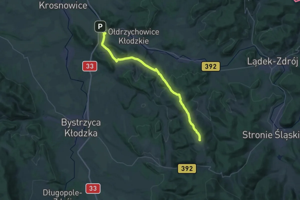
Demanding · Summit
Żelazno - Przełęcz Puchaczówka
29.2 km · ↑ 595 m · 8 h 11 min
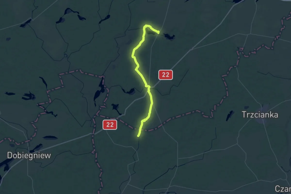
Demanding · Trail
Żelichowo – Człopa – Tuczno
30.4 km · ↑ 171 m · 7 h 59 min
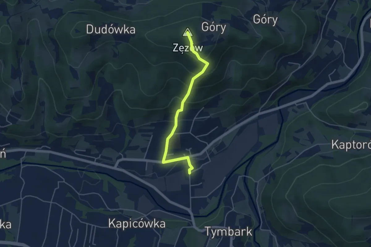
Easy · Summit
Zęzów - Tymbark
3.8 km · ↑ 292 m · 1 h 32 min
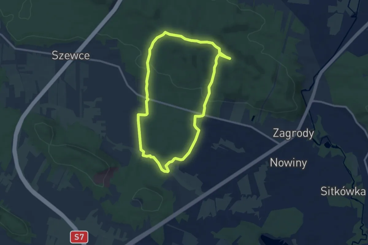
Easy · Summit
Zgórskie Góry (Czas w Las)
6.7 km · ↑ 133 m · 1 h 58 min
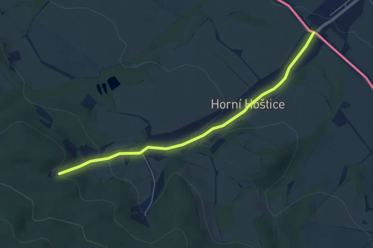
Easy · Trail
[Ž] Horní Hoštice - Vysoký Kámen
4.4 km · ↑ 144 m · 1 h 21 min
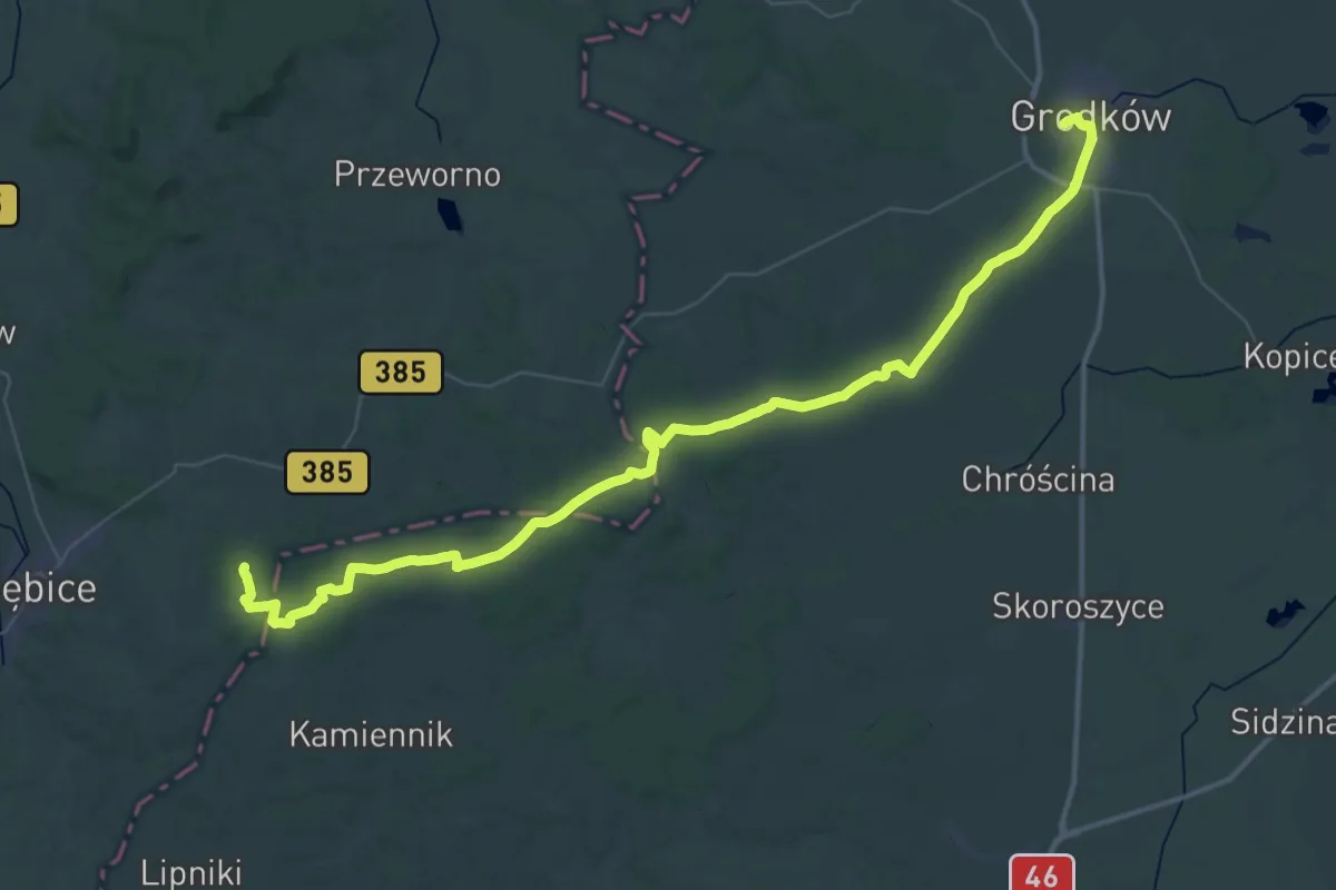
Demanding · Trail
Ziębice PKP - Grodków PKP
28.7 km · ↑ 266 m · 7 h 42 min
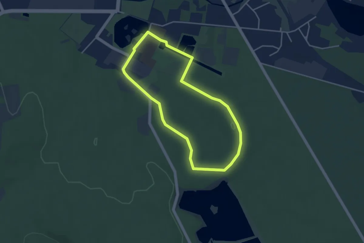
Easy · Trail
Zielona ścieżka nordic walking
2.9 km · ↑ 17 m · 46 min
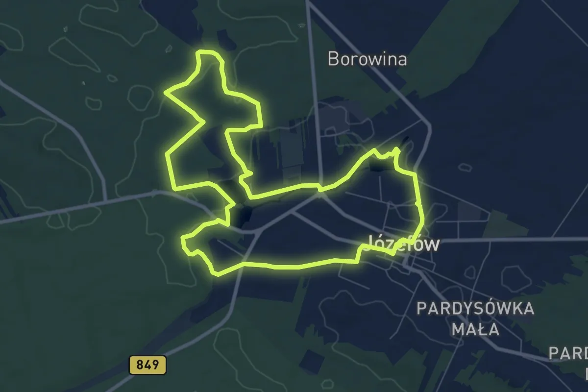
Medium · Trail
Zielona Ścieżka spacerowa
8.0 km · ↑ 39 m · 2 h 5 min
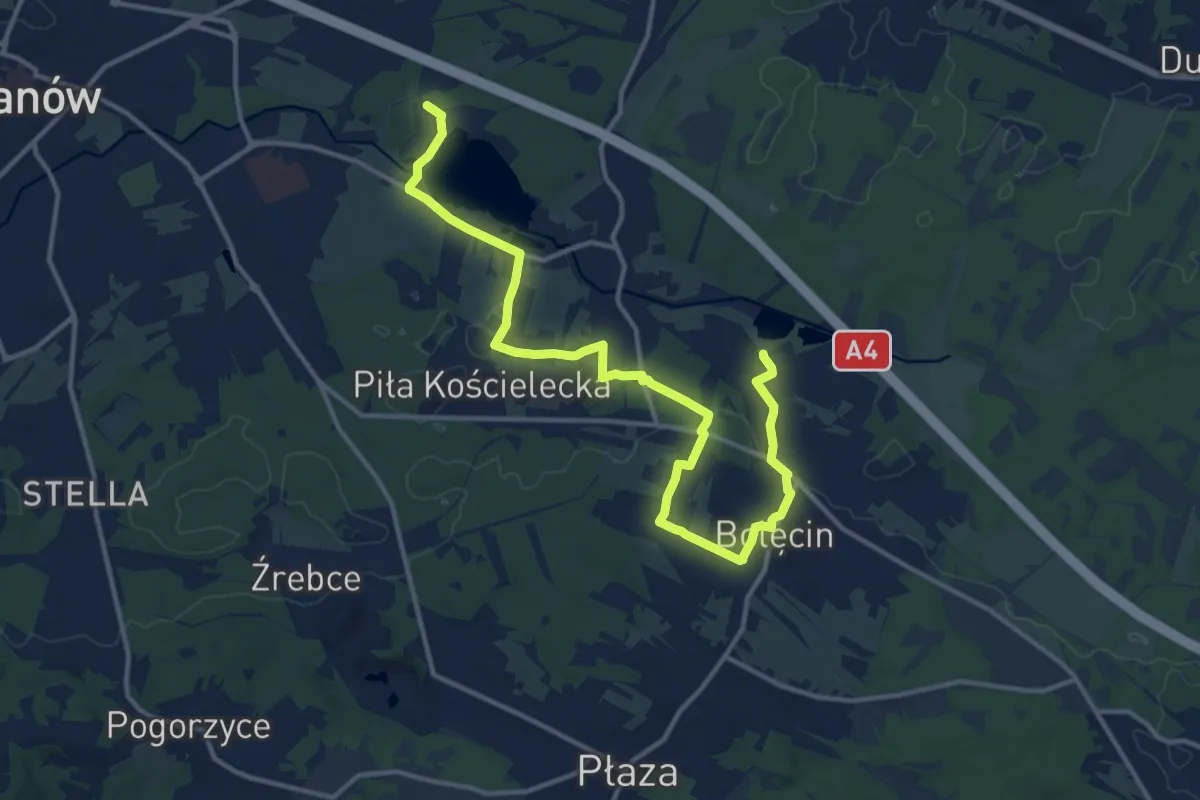
Medium · Trail
Zielone Perły Trzebin
15.0 km · ↑ 162 m · 3 h 54 min
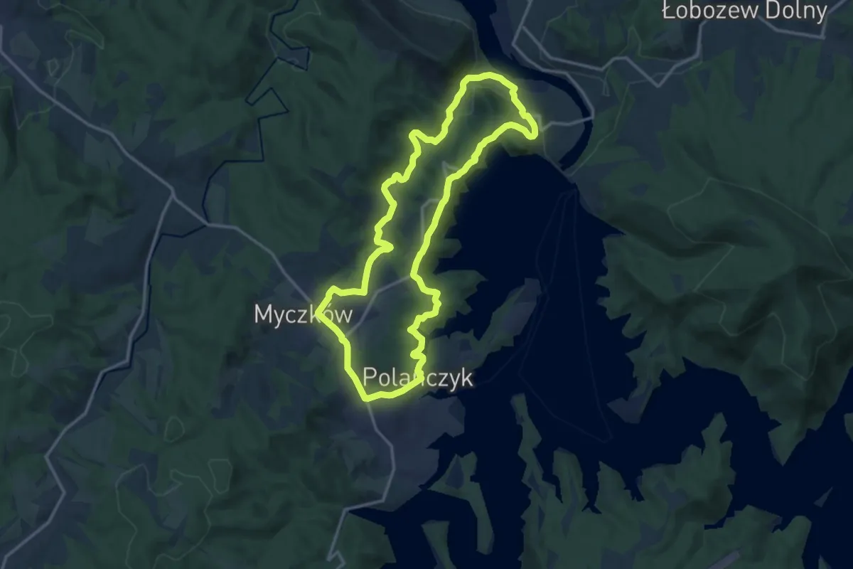
Medium · Trail
Zielone wzgórza nad Soliną
12.7 km · ↑ 286 m · 3 h 48 min
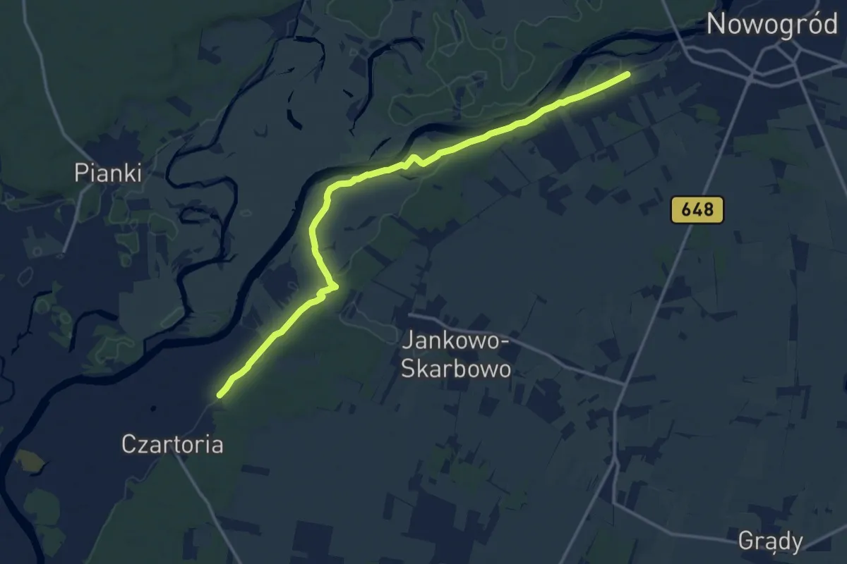
Medium · Trail
zielony
12.8 km · ↑ 9 m · 3 h 3 min
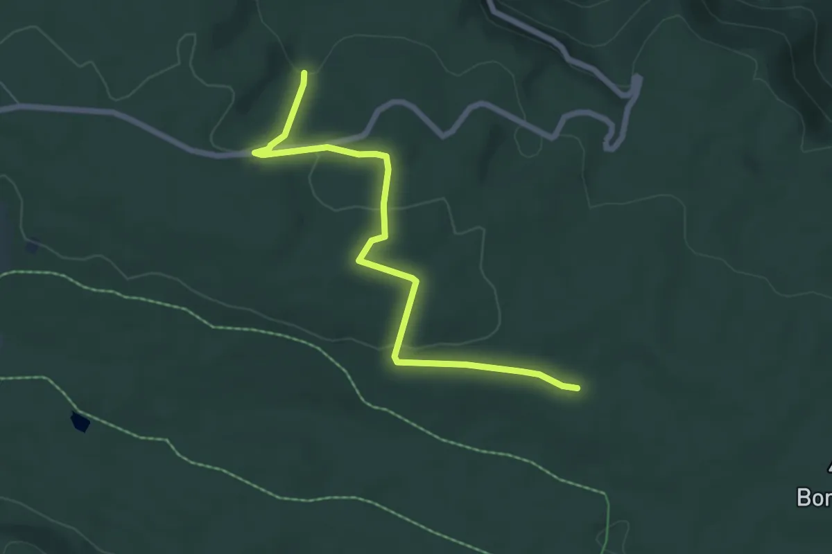
Easy · Trail
Zielony łącznik
5.7 km · ↑ 121 m · 1 h 36 min
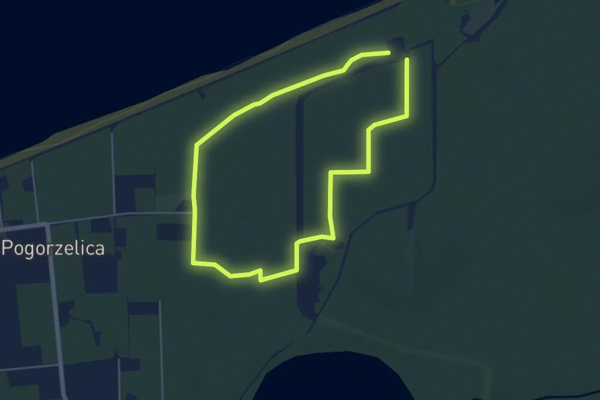
Easy · Trail
Zielony nordic walking
3.6 km · ↑ 4 m · 54 min
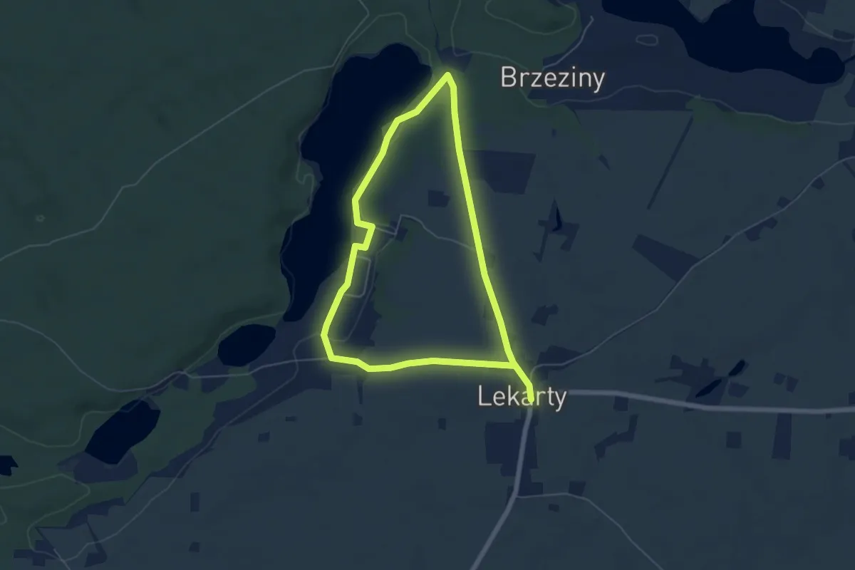
Medium · Trail
Zielony nordic walking Lekarty
8.9 km · ↑ 110 m · 2 h 21 min
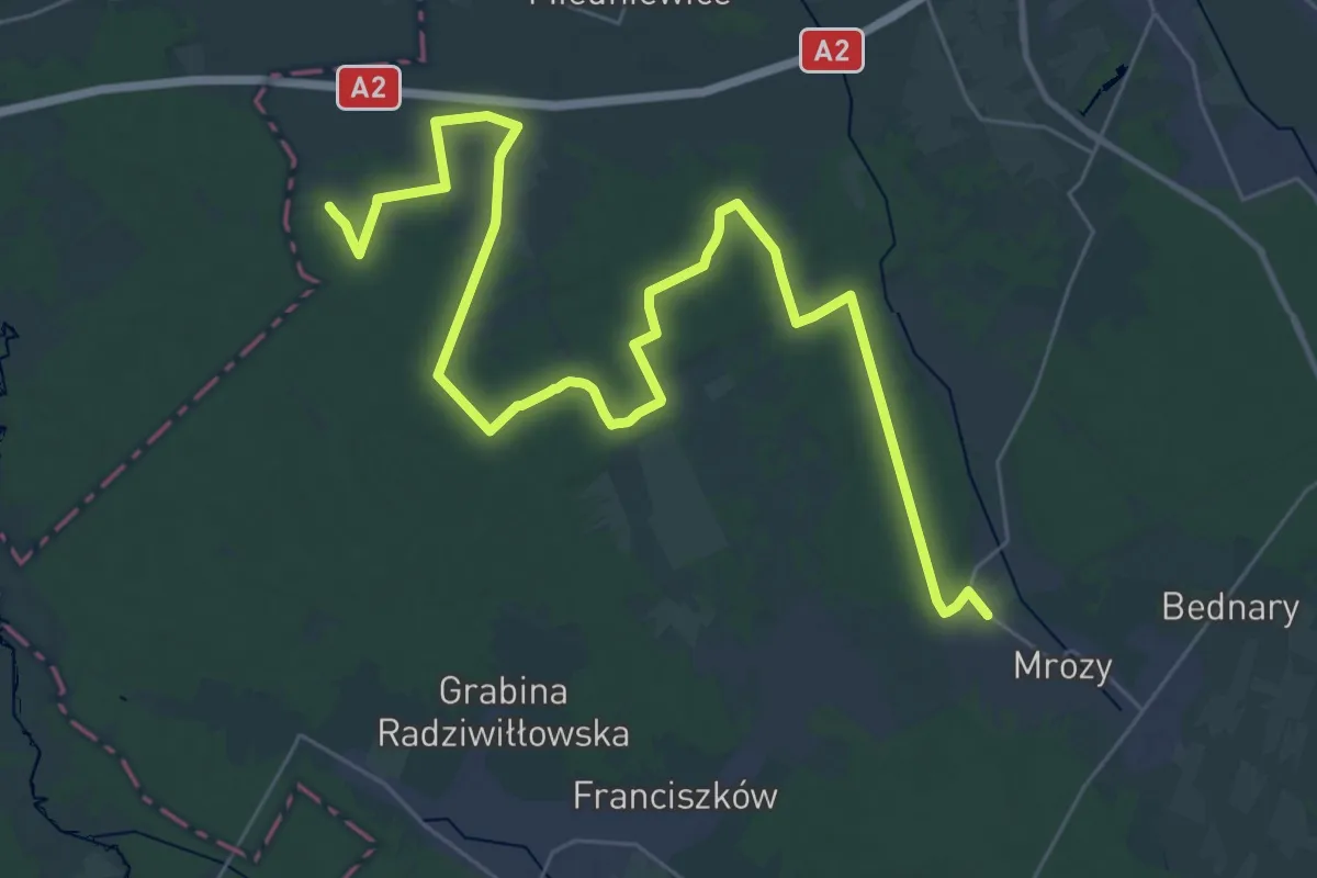
Demanding · Trail
Zielony szlak Jesionka, PKP - Nowa Wieś
19.1 km · ↑ 45 m · 4 h 52 min