Trails near Abragão
22 hikes starting within 15 km, nearest first.
Nearest first
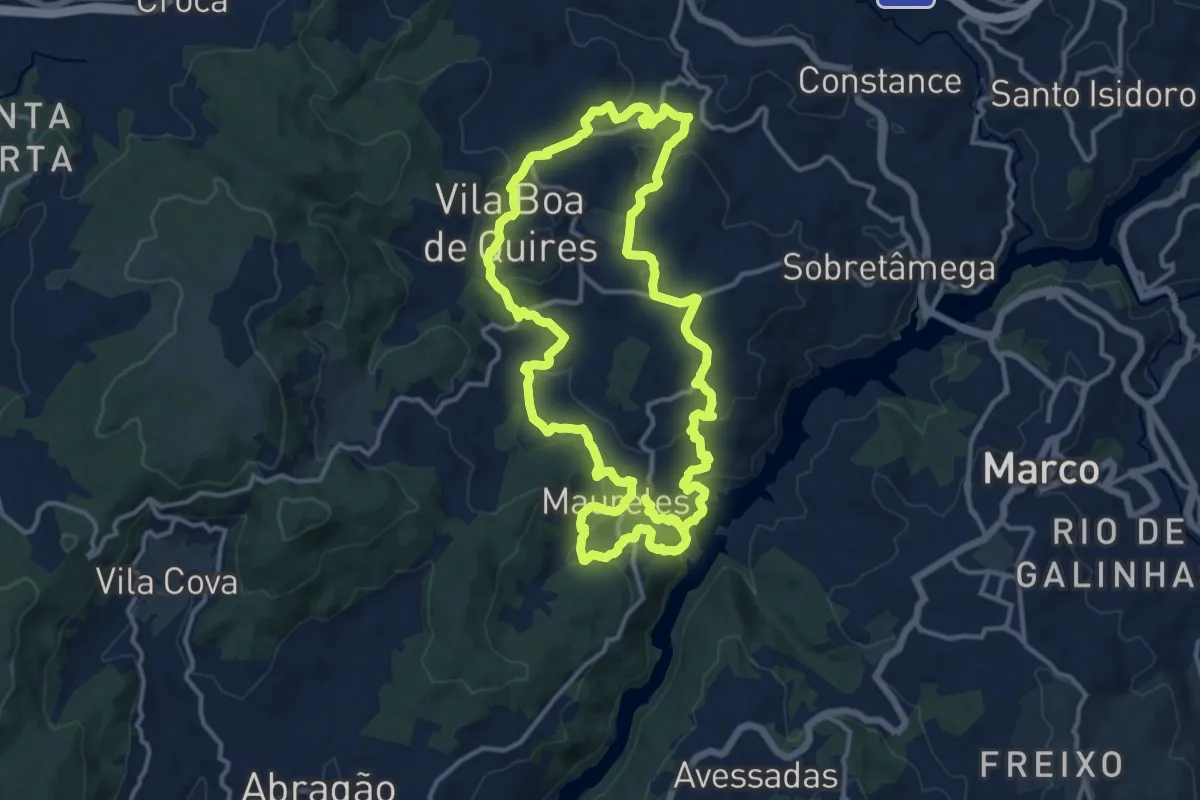
Medium · Trail
Trilhos de Portocarreiro
15.1 km · ↑ 518 m · 4 h 52 min · 4 km away
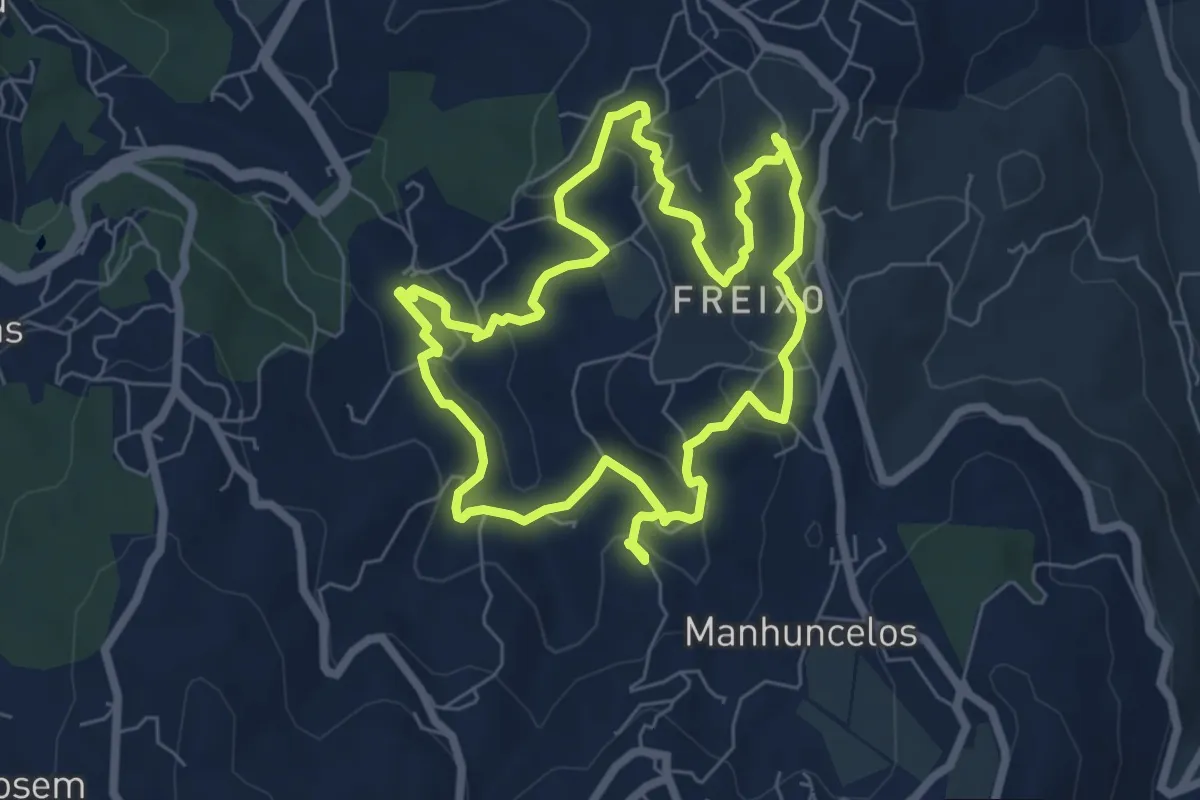
Easy · Trail
PR6 Caminhos de Tongobriga
6.9 km · ↑ 197 m · 2 h 9 min · 6 km away
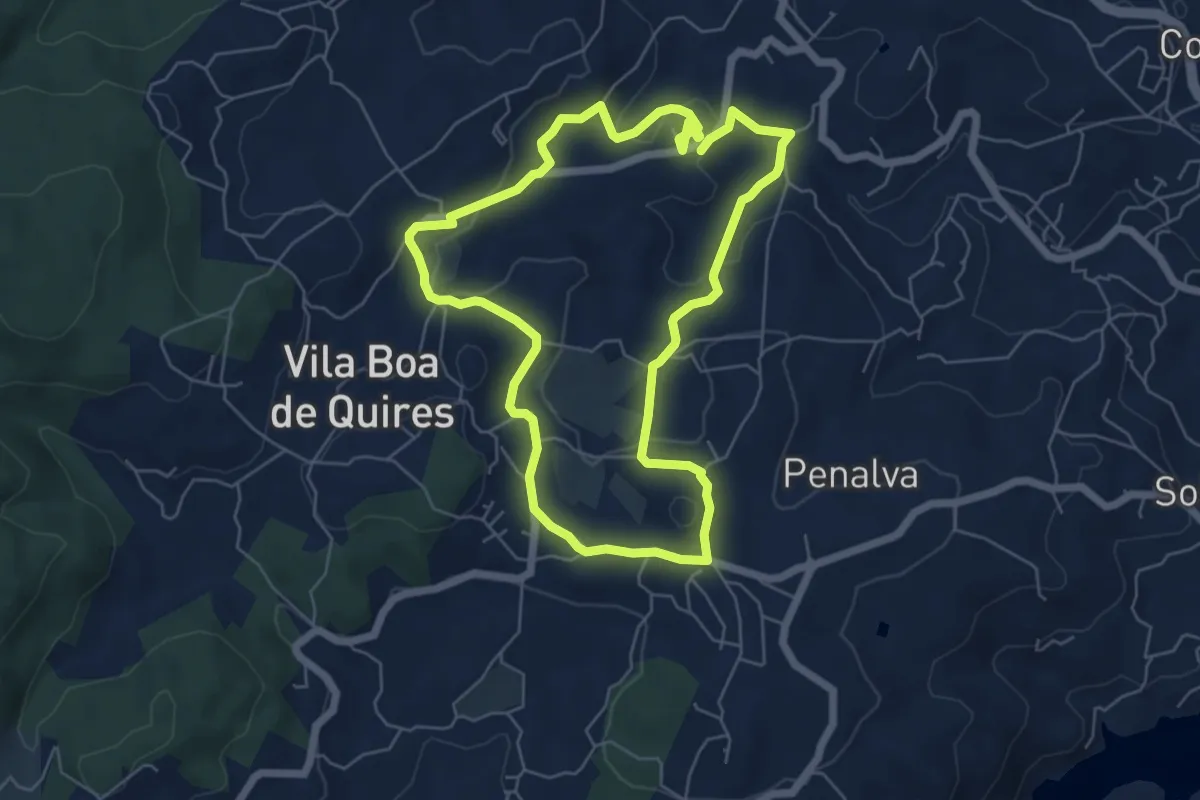
Easy · Trail
Trilho de Portocarreiro - Variante
6.4 km · ↑ 138 m · 1 h 53 min · 6 km away
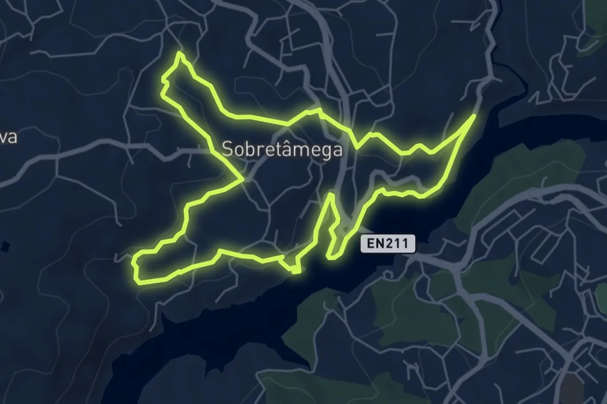
Easy · Trail
PR5 Caminhos de Canaveses
6.7 km · ↑ 182 m · 2 h 5 min · 7 km away
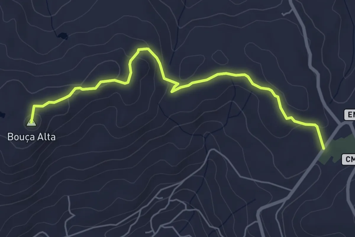
Easy · Summit
PR3 - Caminho do Rio
6.0 km · ↑ 142 m · 1 h 43 min · 7 km away
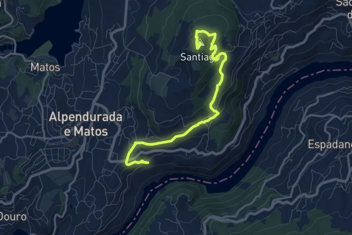
Medium · Summit
PR2 - Dois Rios, Dois Mosteiros
9.8 km · ↑ 399 m · 3 h 11 min · 9 km away
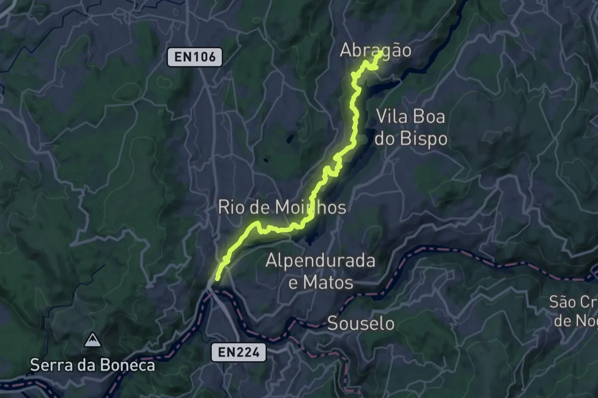
Medium · Trail
Via Panorâmica do Tâmega
15.4 km · ↑ 614 m · 5 h 6 min · 10 km away
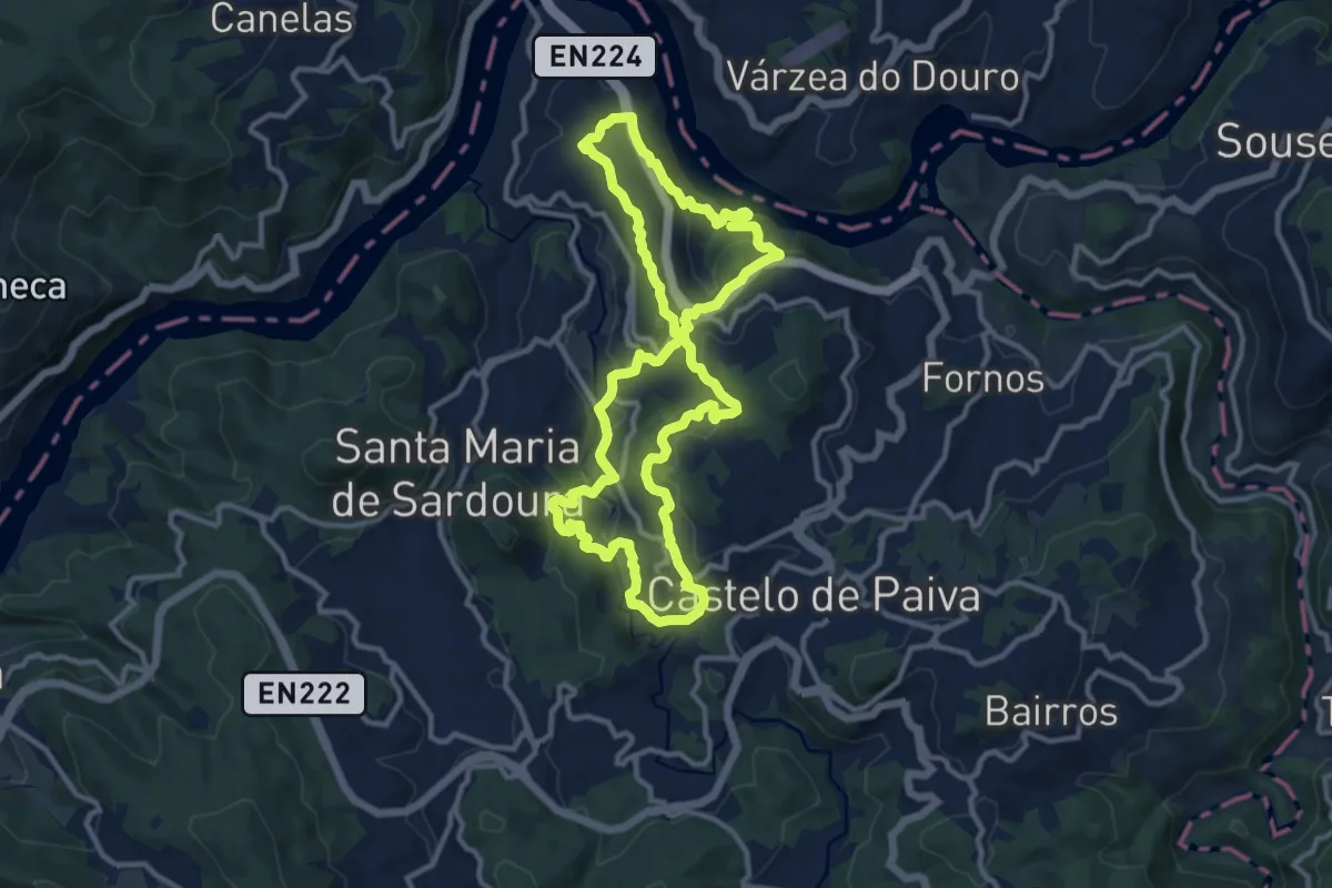
Medium · Trail
São Martinho
12.2 km · ↑ 489 m · 4 h 7 min · 11 km away
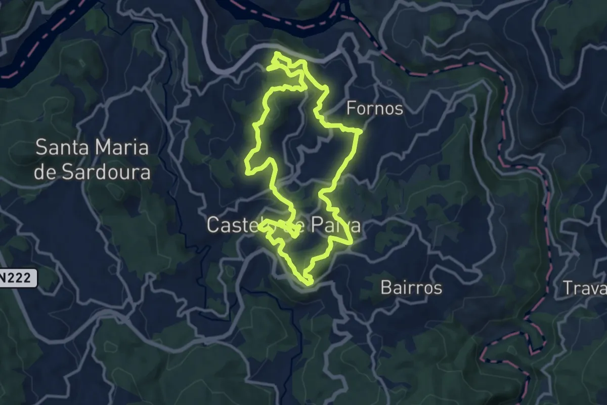
Medium · Trail
Sobrado
11.8 km · ↑ 481 m · 4 h · 12 km away
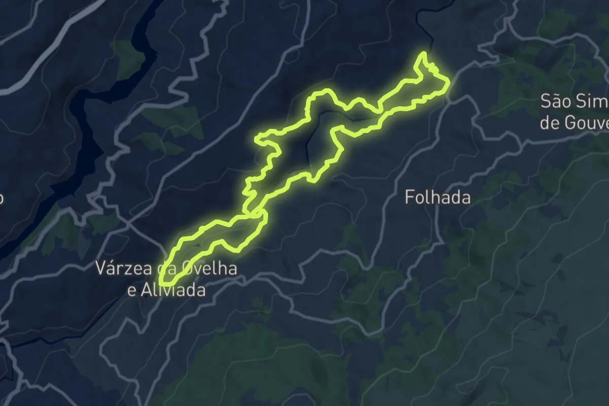
Medium · Trail
PR7 - Aldeias e Margens do rio Ovelha
12.7 km · ↑ 449 m · 4 h 9 min · 12 km away
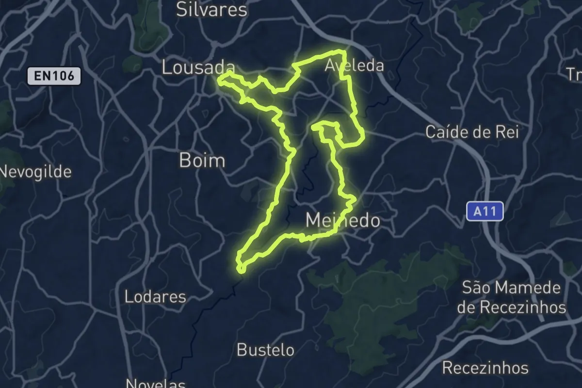
Medium · Trail
Caminho do Românico 2
17.4 km · ↑ 317 m · 5 h 2 min · 12 km away
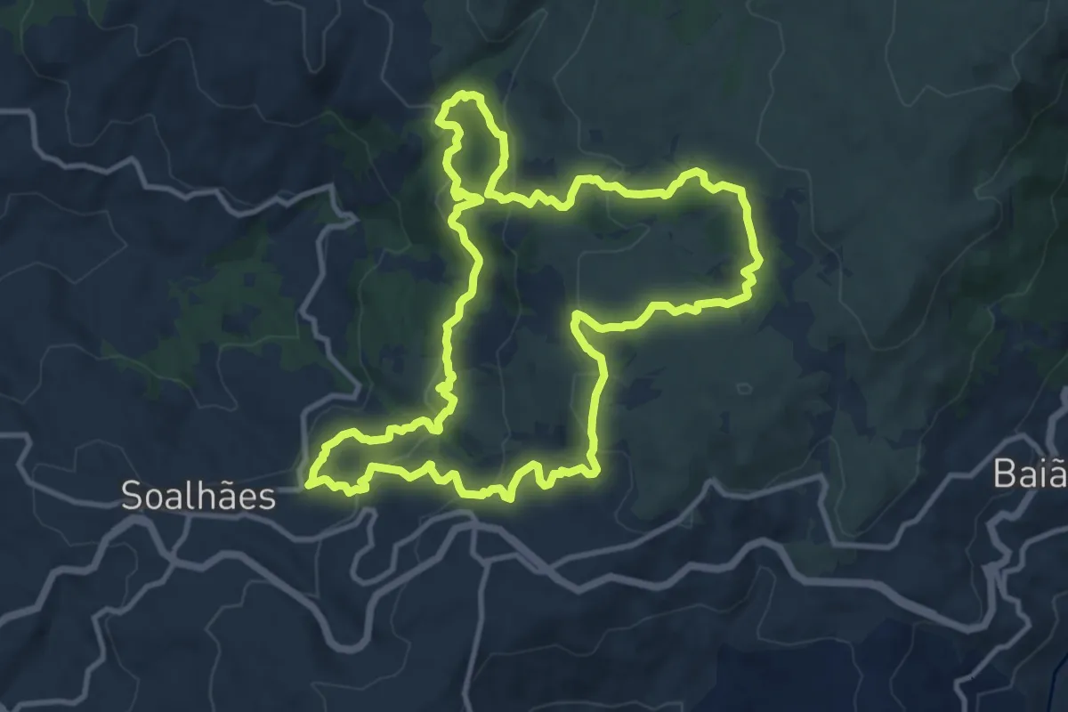
Medium · Trail
Pedras, Moinhos e Aromas de Santiago
12.5 km · ↑ 524 m · 4 h 15 min · 12 km away
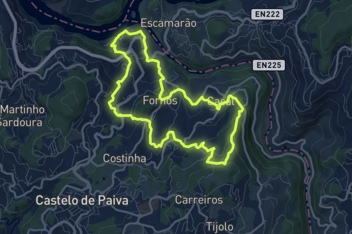
Medium · Trail
Fornos
9.1 km · ↑ 405 m · 3 h 9 min · 12 km away
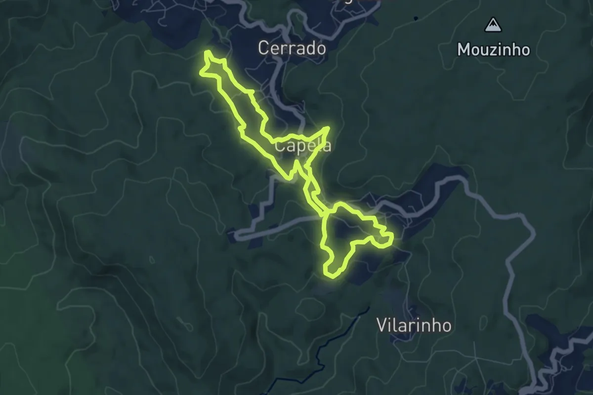
Easy · Trail
Moinhos de Capela a Moinhos de Cabroelo
8.0 km · ↑ 265 m · 2 h 34 min · 12 km away
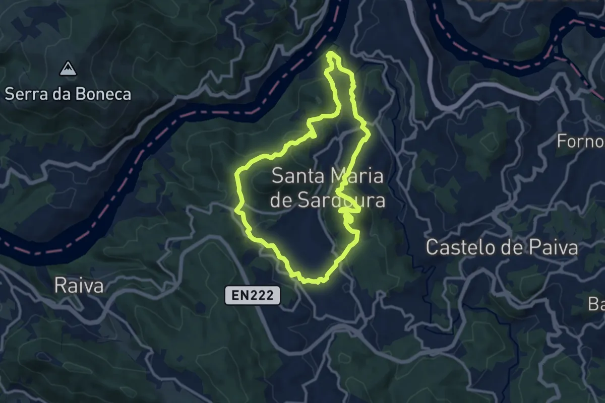
Medium · Summit
Sardoura
10.5 km · ↑ 421 m · 3 h 32 min · 12 km away
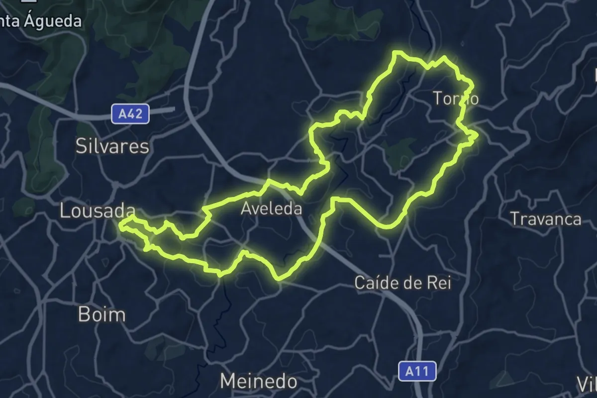
Demanding · Trail
Caminho do Românico 1
20.1 km · ↑ 398 m · 5 h 53 min · 13 km away
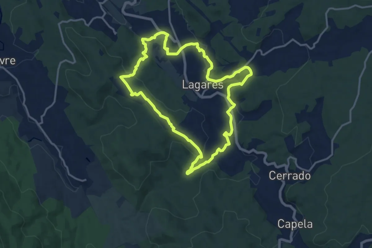
Medium · Trail
Quintandona Terra de Mil Cores, Festas e Sabores
10.8 km · ↑ 332 m · 3 h 25 min · 13 km away
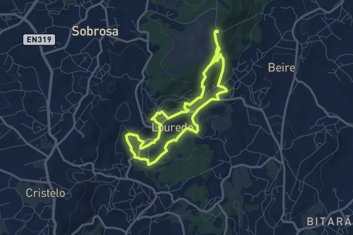
Medium · Trail
Trilho de Louredo da Serra
13.6 km · ↑ 564 m · 4 h 26 min · 14 km away
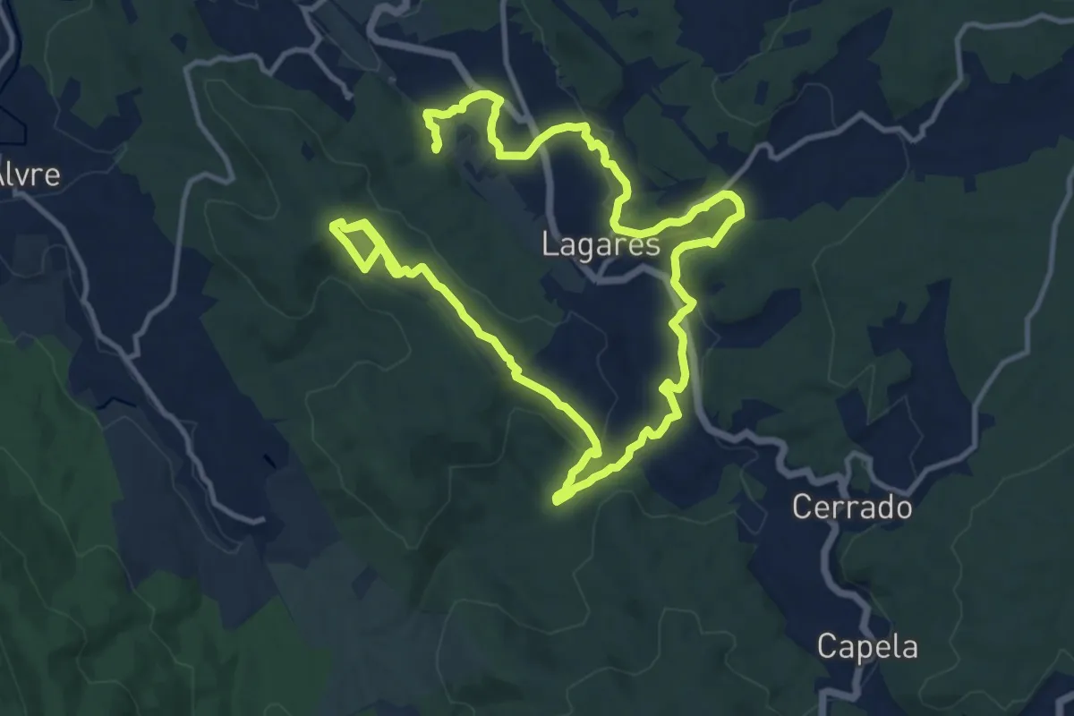
Medium · Trail
Quintandona Terra de Mil Cores, Festas e Sabores - Biodiversidade
11.4 km · ↑ 257 m · 3 h 28 min · 14 km away
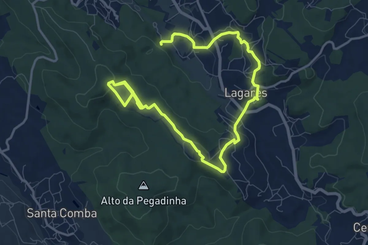
Easy · Trail
Quintandona Terra de Mil Cores, Festas e Sabores - Centro Histórico
7.2 km · ↑ 147 m · 2 h 11 min · 14 km away
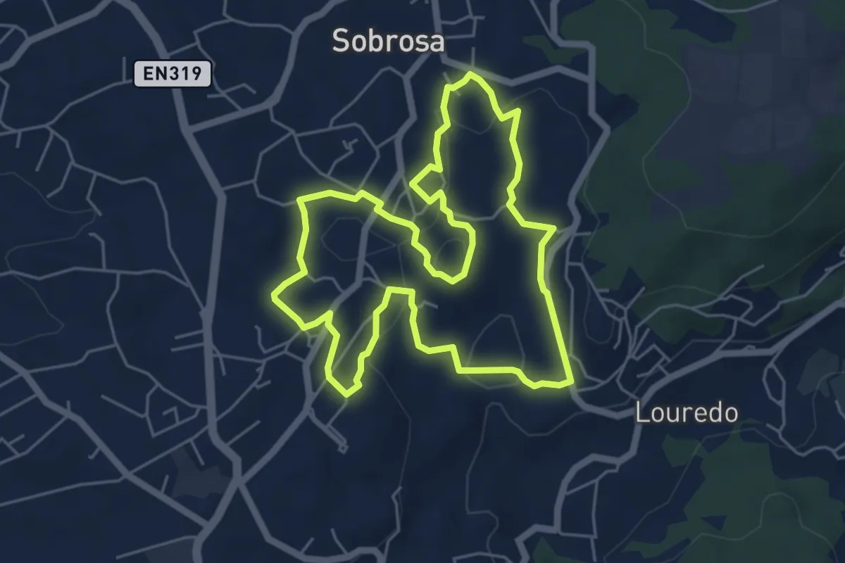
Easy · Trail
Caminhos de Sobrosa
5.7 km · ↑ 146 m · 1 h 44 min · 14 km away
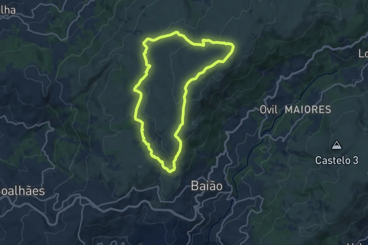
Medium · Summit
Trilho dos Dólmens
12.1 km · ↑ 305 m · 3 h 41 min · 14 km away