Trails near Arouca
26 hikes starting within 15 km, nearest first.
Nearest first
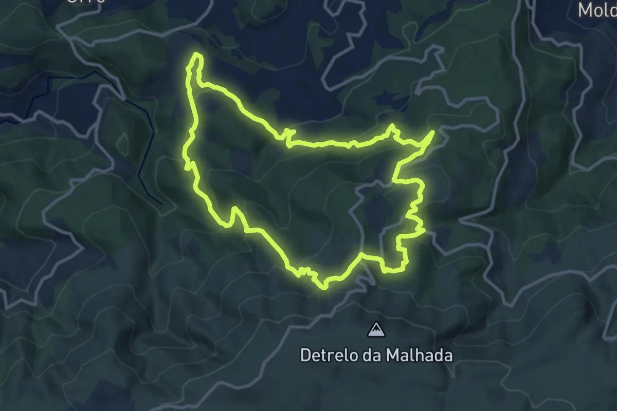
Medium · Trail
Cercanias da Freita
11.1 km · ↑ 570 m · 4 h 1 min · 3 km away
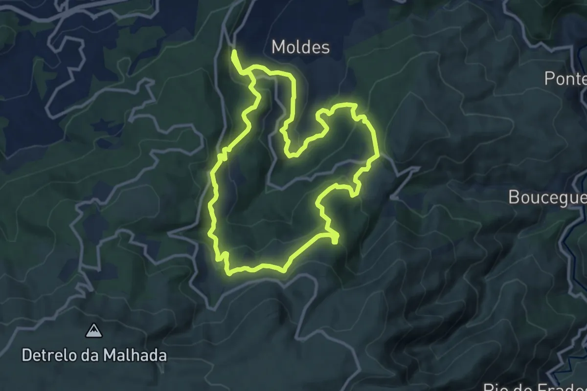
Medium · Trail
Caminhos do Sol Nascente
11.8 km · ↑ 558 m · 4 h 9 min · 4 km away
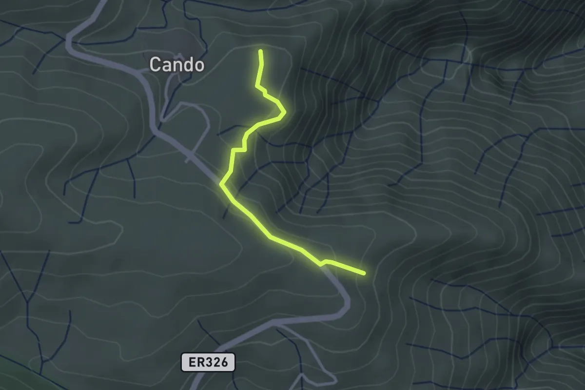
Easy · Trail
Trilho do Pacto do Diabo
2.7 km · ↑ 161 m · 59 min · 6 km away
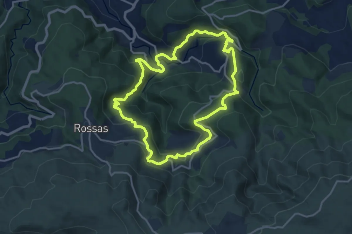
Medium · Trail
Caminhos do Vale do Urtigosa
10.3 km · ↑ 580 m · 3 h 48 min · 7 km away
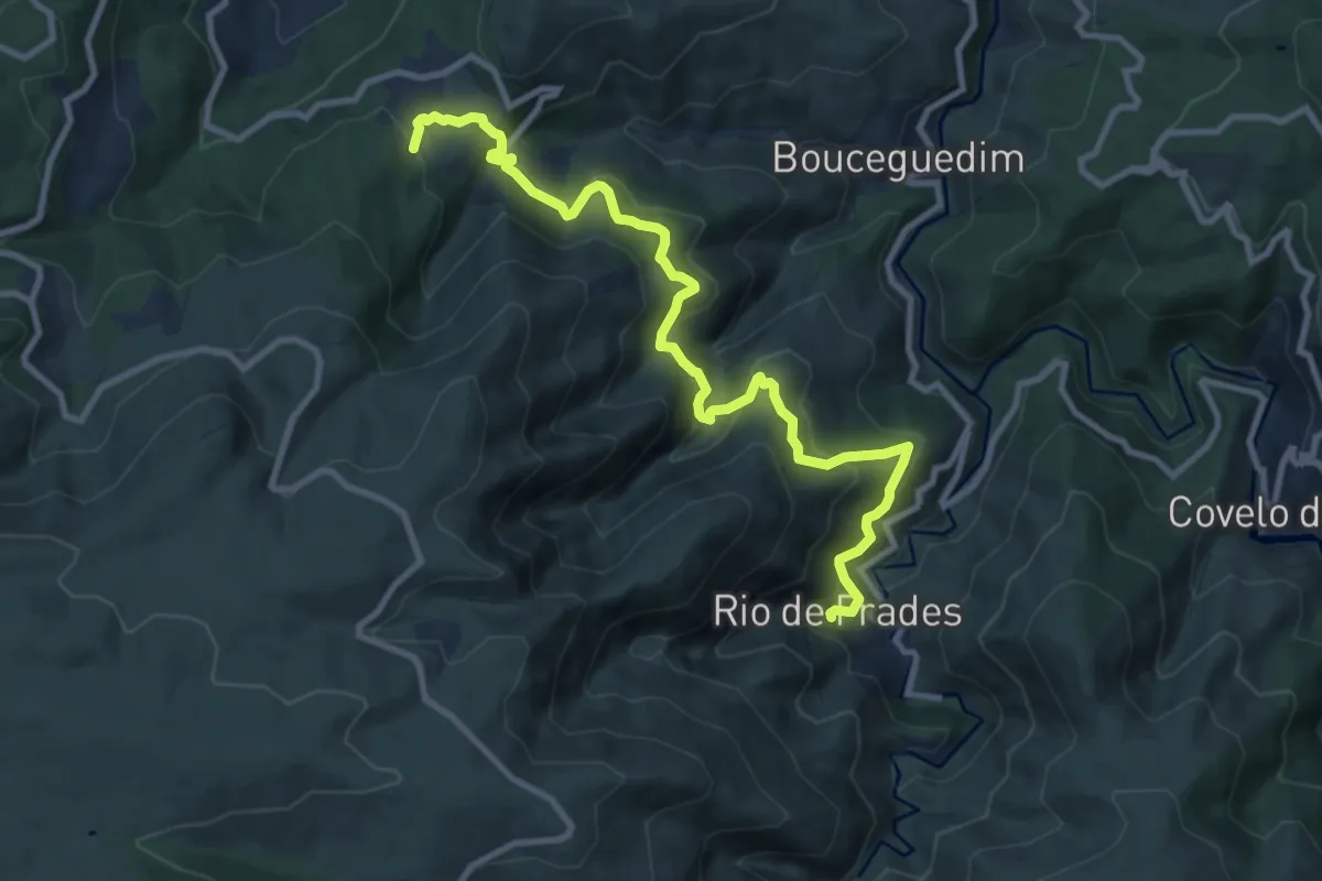
Demanding · Trail
Rota do Ouro Negro
11.7 km · ↑ 937 m · 4 h 48 min · 7 km away
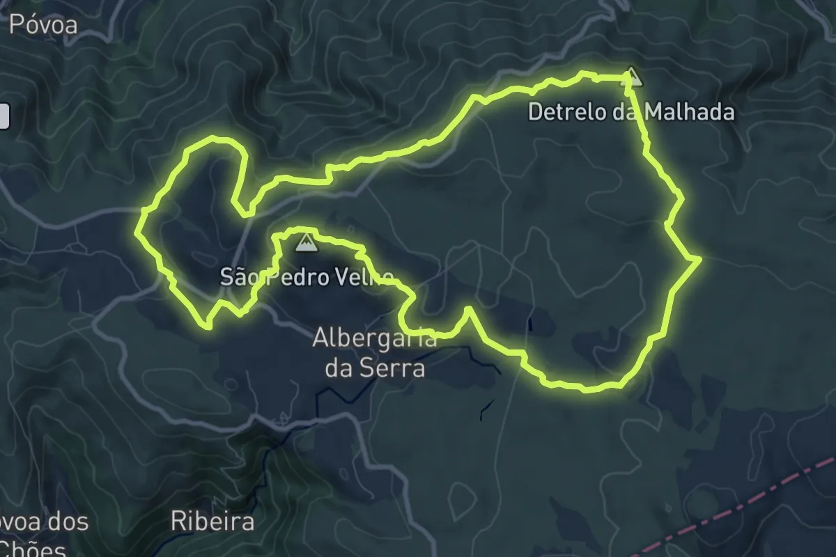
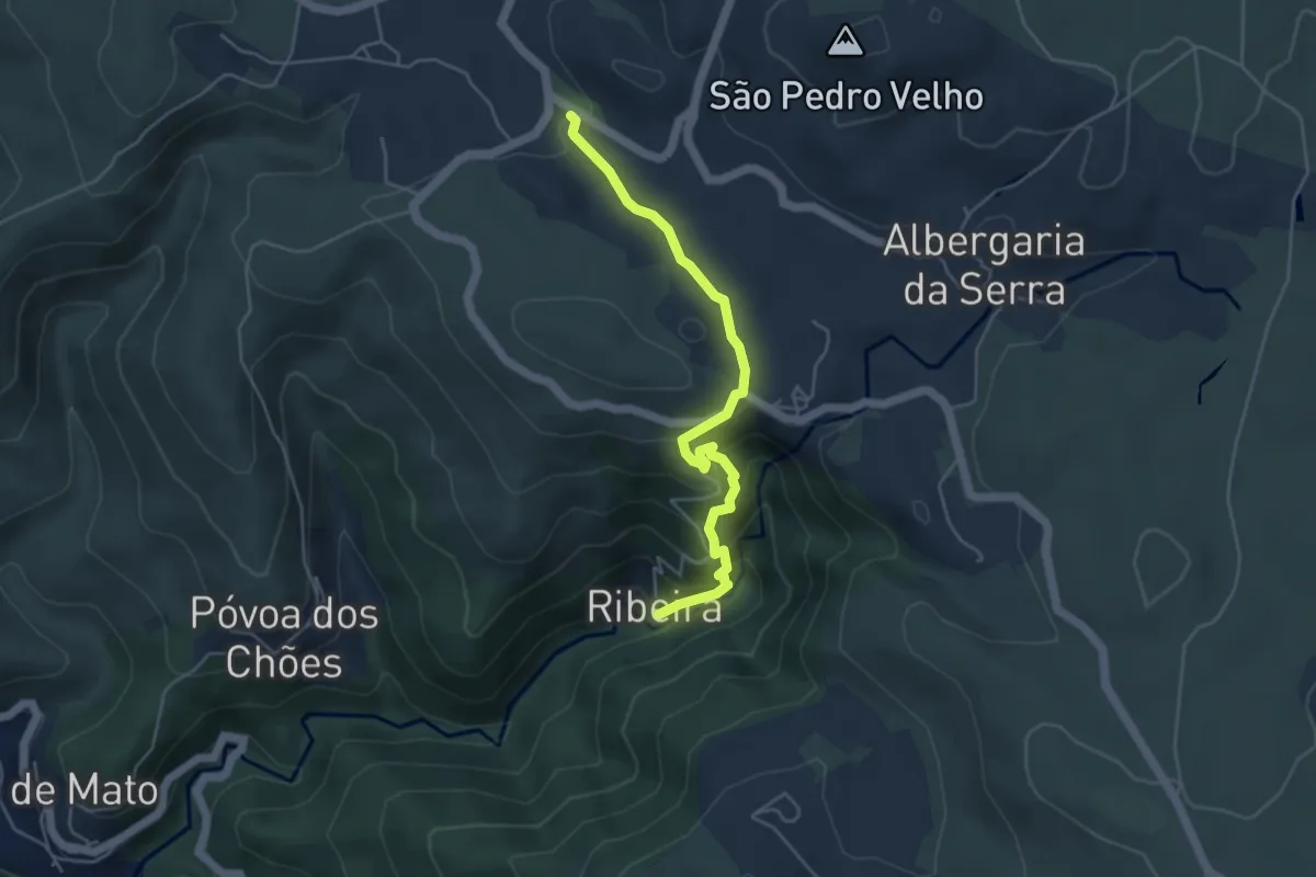
Demanding · Summit
São Pedro Velho
12.7 km · ↑ 383 m · 4 h · 7 km away
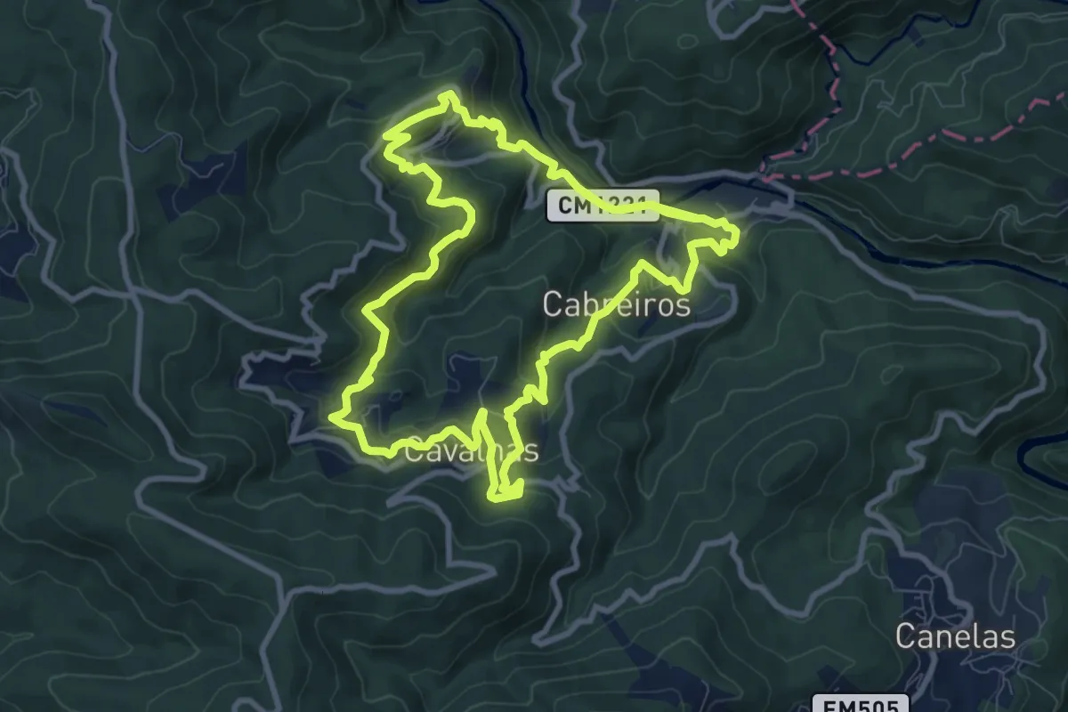
Medium · Trail
Rotas dos Aromas
10.6 km · ↑ 607 m · 3 h 58 min · 7 km away
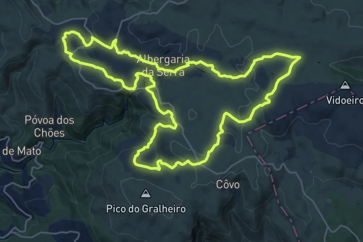
Medium · Trail
Viagem à Pré-história
17.4 km · ↑ 431 m · 5 h 16 min · 8 km away
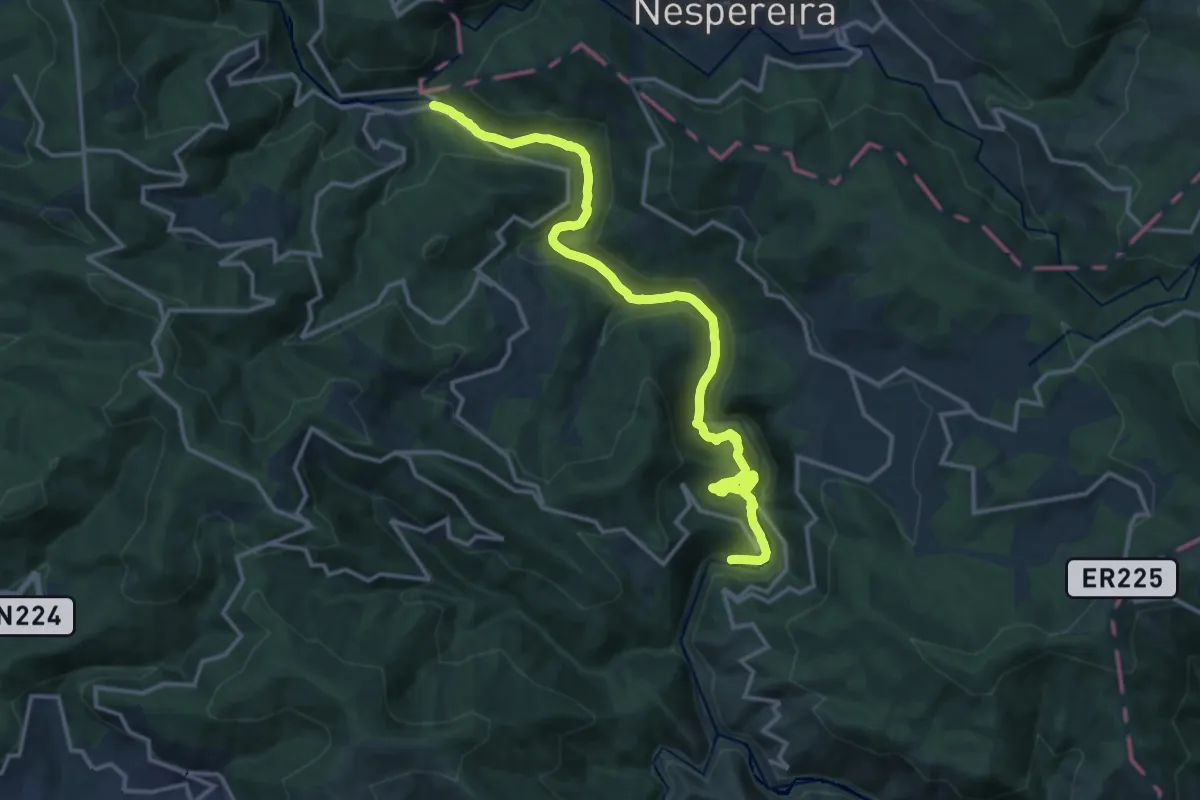
Demanding · Trail
Passadiços do Paiva
18.0 km · ↑ 824 m · 6 h 3 min · 8 km away
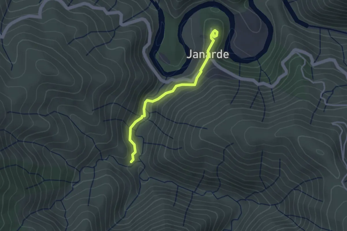
Easy · Trail
Livraria do Paiva
1.5 km · ↑ 86 m · 32 min · 8 km away
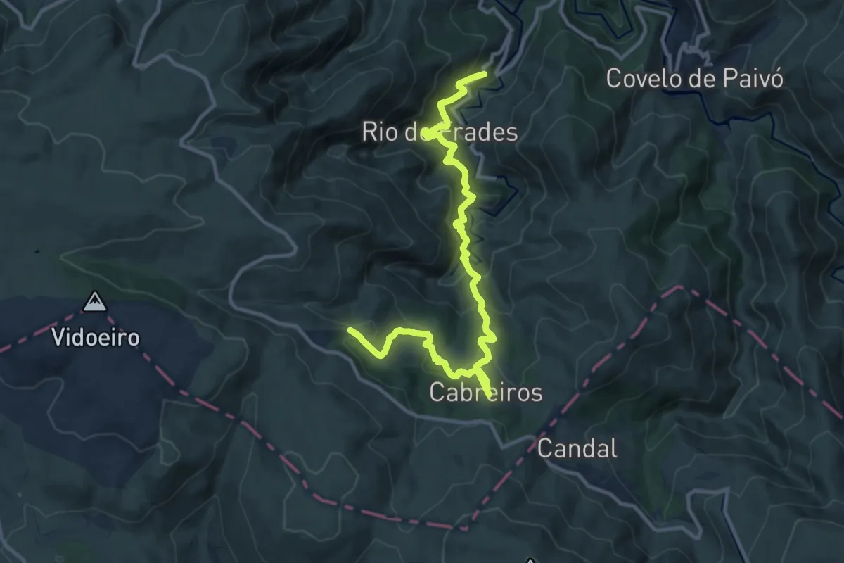
Demanding · Trail
Caminho do Carteiro
13.1 km · ↑ 1094 m · 5 h 27 min · 8 km away
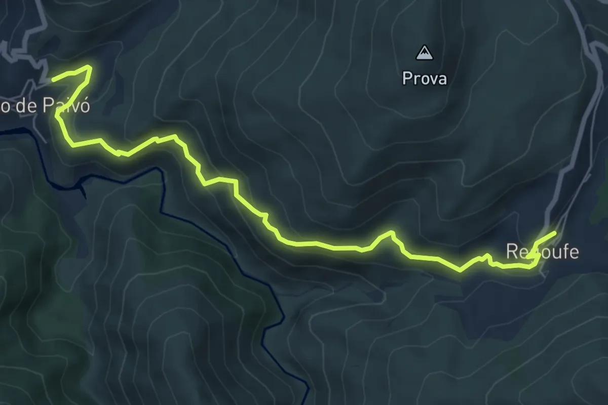
Medium · Trail
Na Senda do Paivó
7.9 km · ↑ 489 m · 2 h 55 min · 8 km away
Medium · Trail
Estação da Biodiversidade do Merujal
5.1 km · ↑ 369 m · 2 h · 9 km away
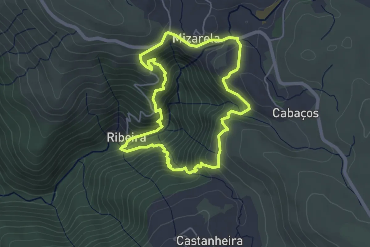
Medium · Trail
Nas Escarpas da Mizarela
4.2 km · ↑ 385 m · 1 h 53 min · 9 km away
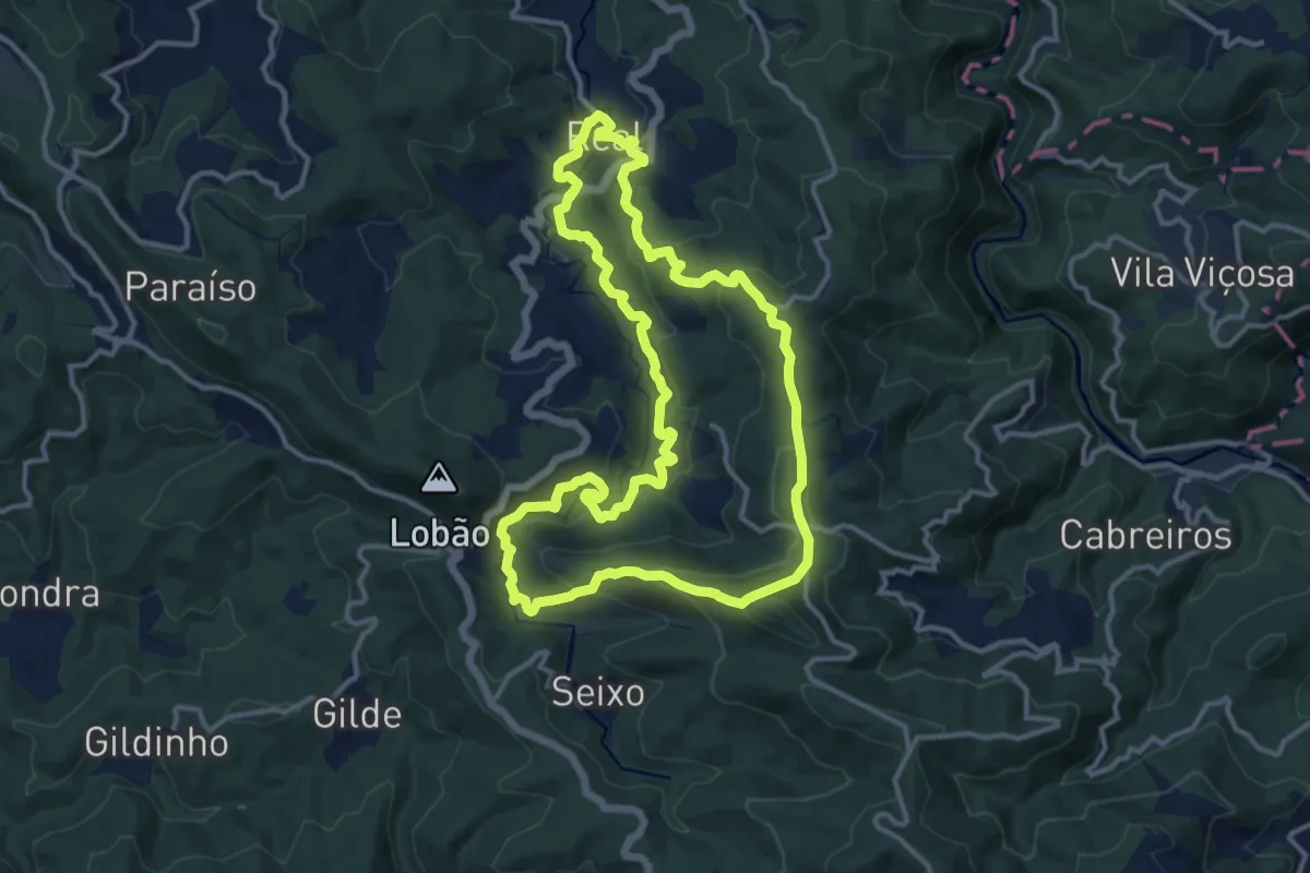
Medium · Summit
Real
14.0 km · ↑ 624 m · 4 h 51 min · 10 km away
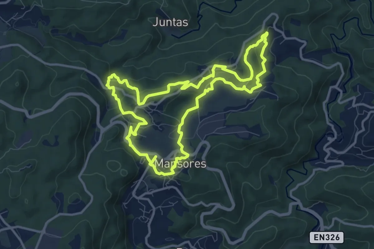
Medium · Trail
Trilho das Levadas
9.8 km · ↑ 314 m · 3 h 7 min · 11 km away
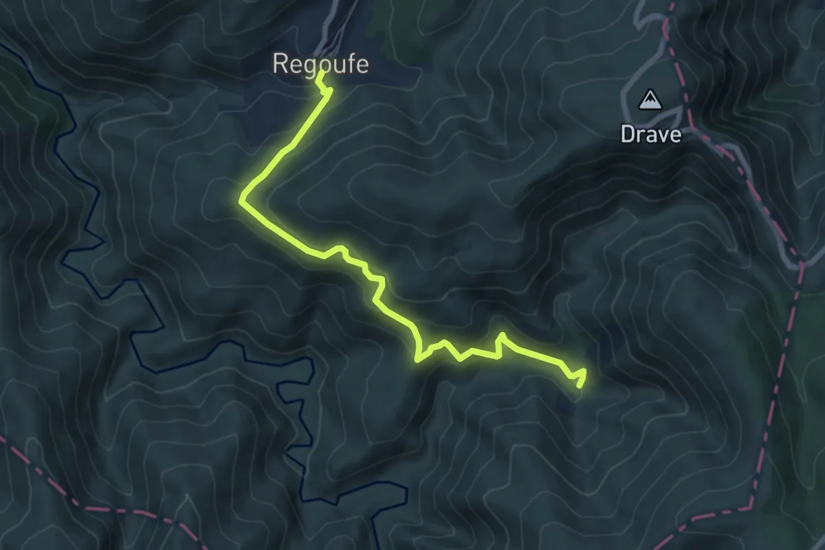
Medium · Trail
Aldeia Mágica
7.4 km · ↑ 500 m · 2 h 50 min · 11 km away
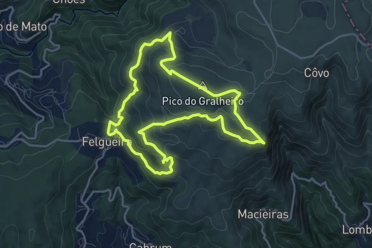
Medium · Summit
PR8 - Varandas da Freita
9.7 km · ↑ 459 m · 3 h 25 min · 11 km away
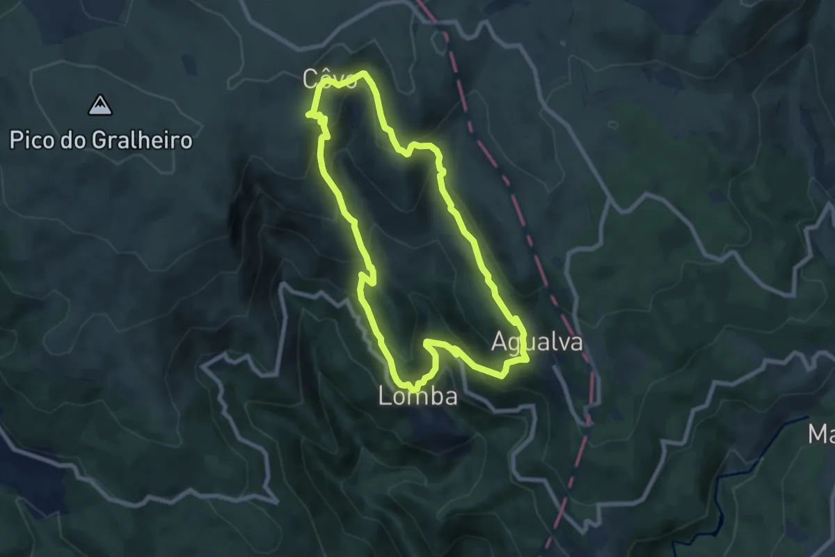
Medium · Trail
Na Vereda do Pastor
7.5 km · ↑ 503 m · 2 h 57 min · 11 km away
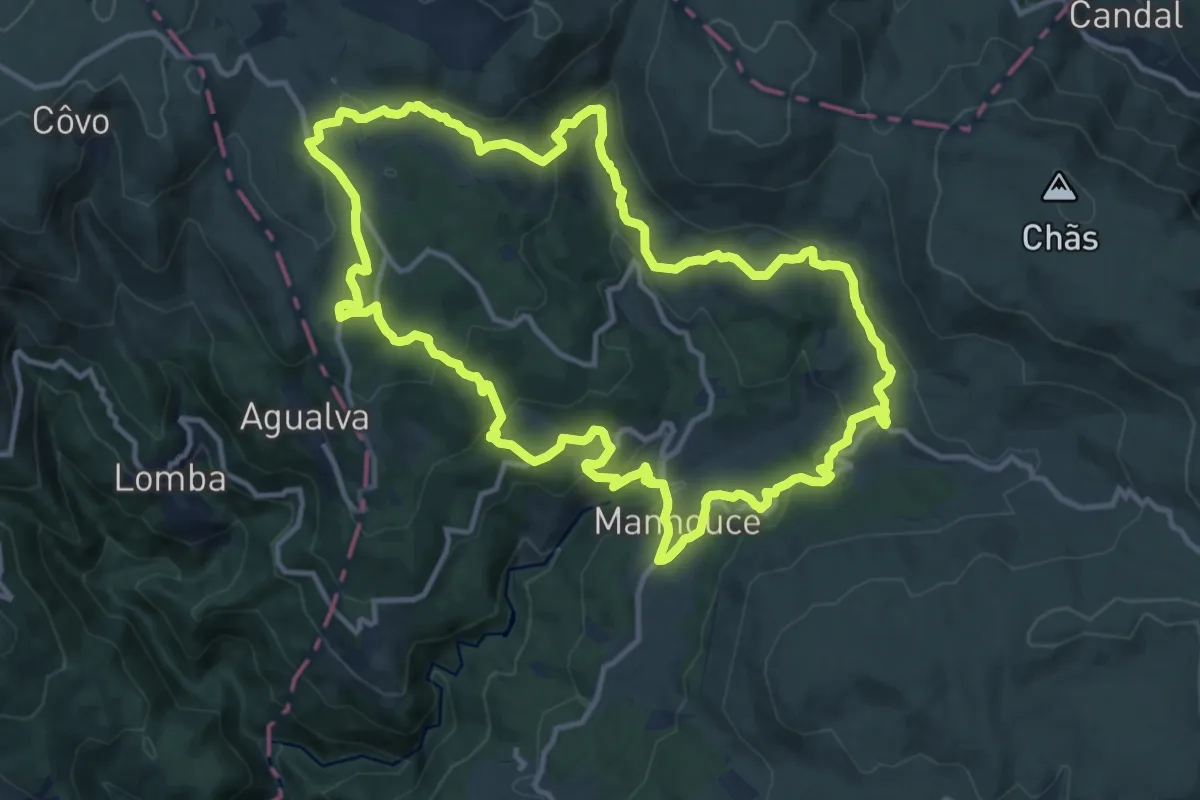
Medium · Trail
Rota de Manhouce
14.5 km · ↑ 497 m · 4 h 43 min · 12 km away
Medium · Trail
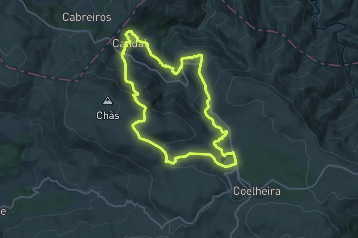
Rota das Bétulas
10.5 km · ↑ 493 m · 3 h 41 min · 13 km away
Medium · Trail
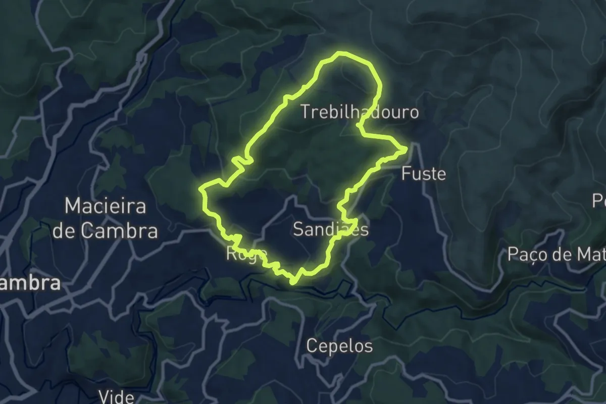
Trebilhadouro
9.9 km · ↑ 385 m · 3 h 18 min · 13 km away
Medium · Trail
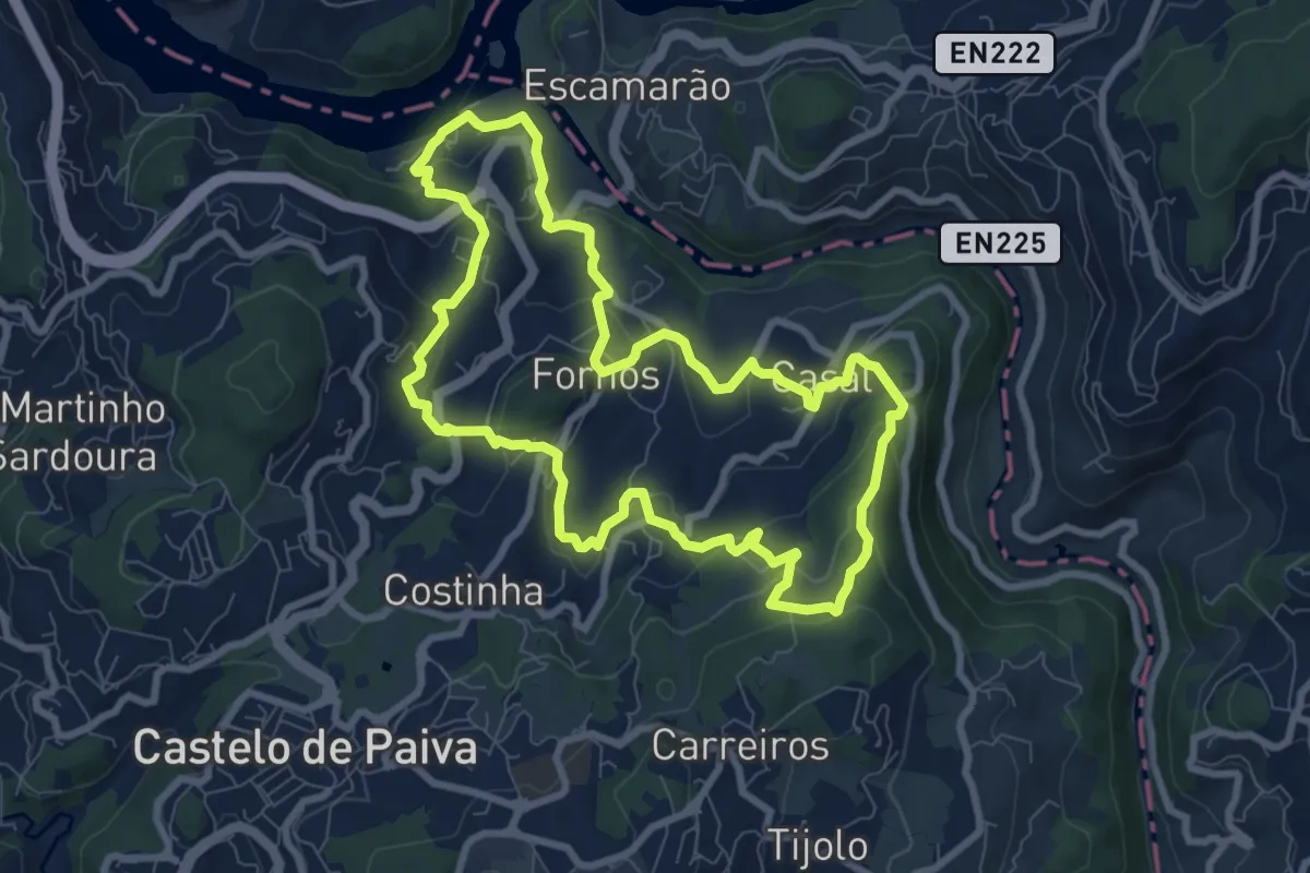
Fornos
9.1 km · ↑ 405 m · 3 h 9 min · 14 km away
Medium · Trail
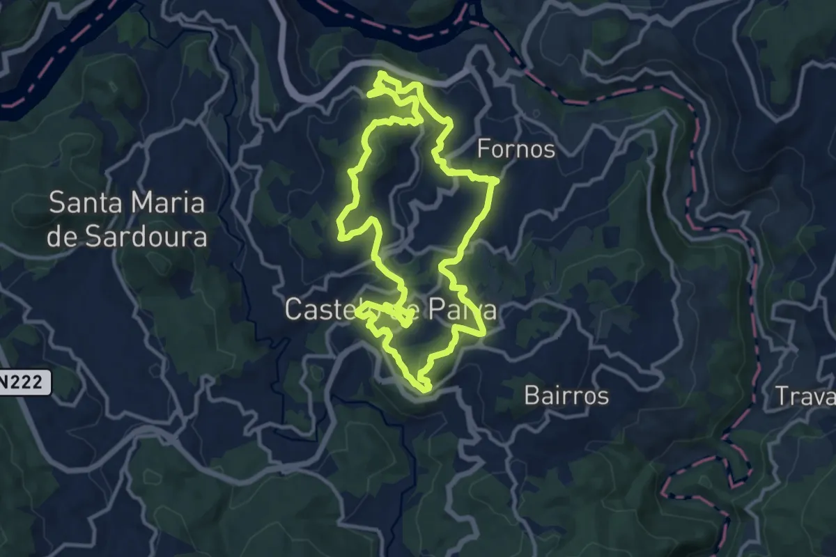
Sobrado
11.8 km · ↑ 481 m · 4 h · 14 km away
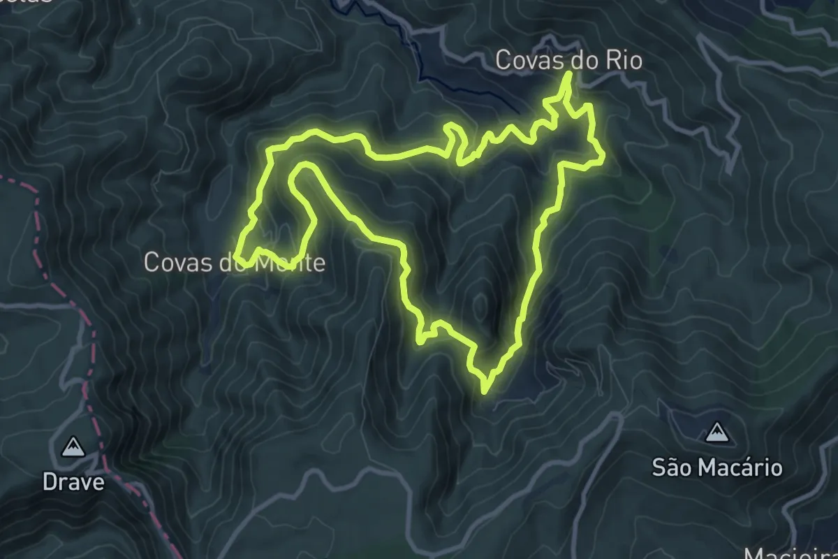
Medium · Trail
Rota da Cabra e do Lobo
10.8 km · ↑ 678 m · 4 h 11 min · 14 km away
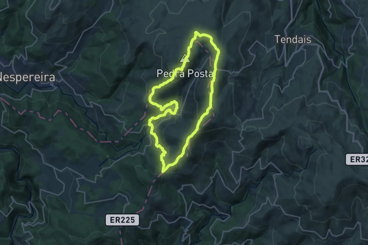
Medium · Summit
Caminhos de Montemuro
16.9 km · ↑ 699 m · 5 h 44 min · 15 km away