Trails near Baião
22 hikes starting within 15 km, nearest first.
Nearest first
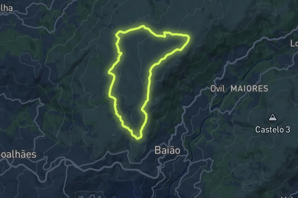
Medium · Summit
Trilho dos Dólmens
12.1 km · ↑ 305 m · 3 h 41 min · 2 km away
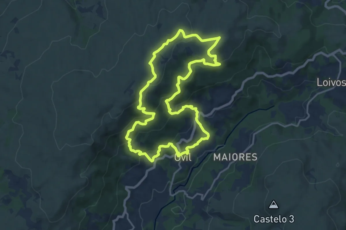
Medium · Trail
Trilho das Florestas Naturais
11.8 km · ↑ 541 m · 4 h 7 min · 4 km away
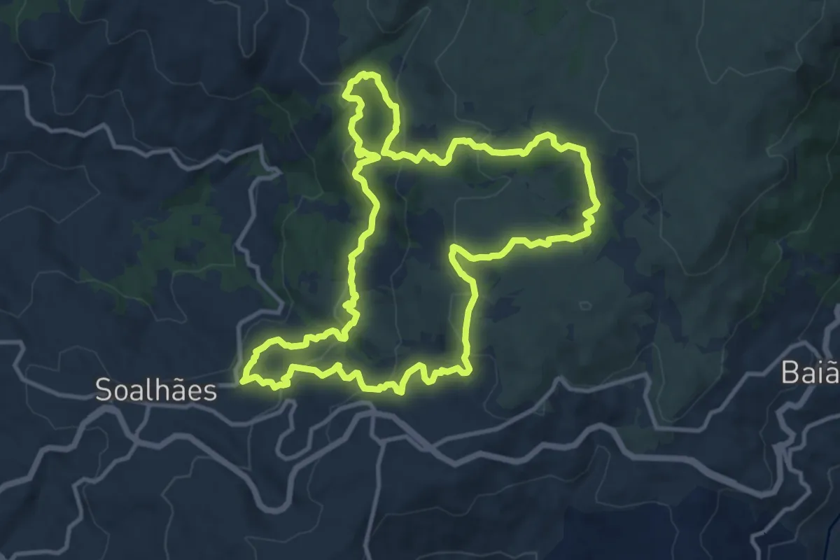
Medium · Trail
Pedras, Moinhos e Aromas de Santiago
12.5 km · ↑ 524 m · 4 h 15 min · 4 km away
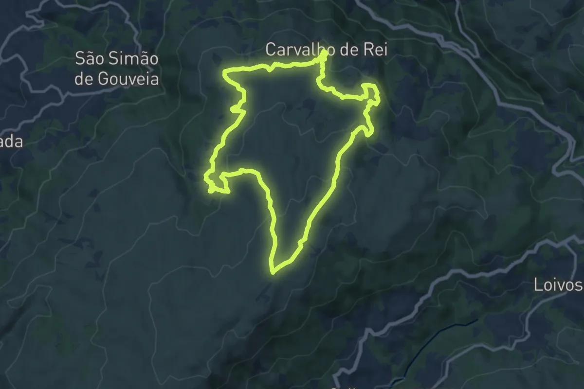
Medium · Summit
Trilho das 5 Aldeias e da Água
12.0 km · ↑ 336 m · 3 h 43 min · 5 km away
Medium · Summit
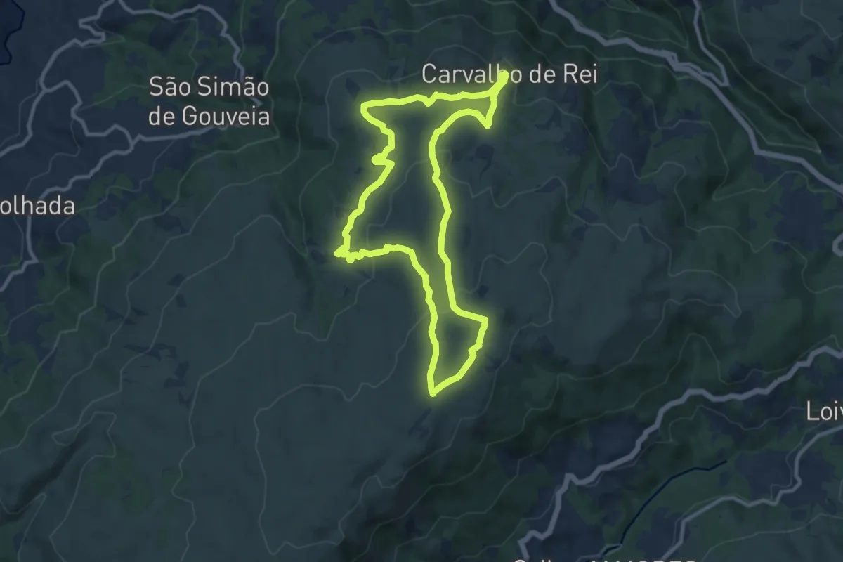
Trilho dos Caminhos de Água
10.4 km · ↑ 293 m · 3 h 14 min · 7 km away
Medium · Trail
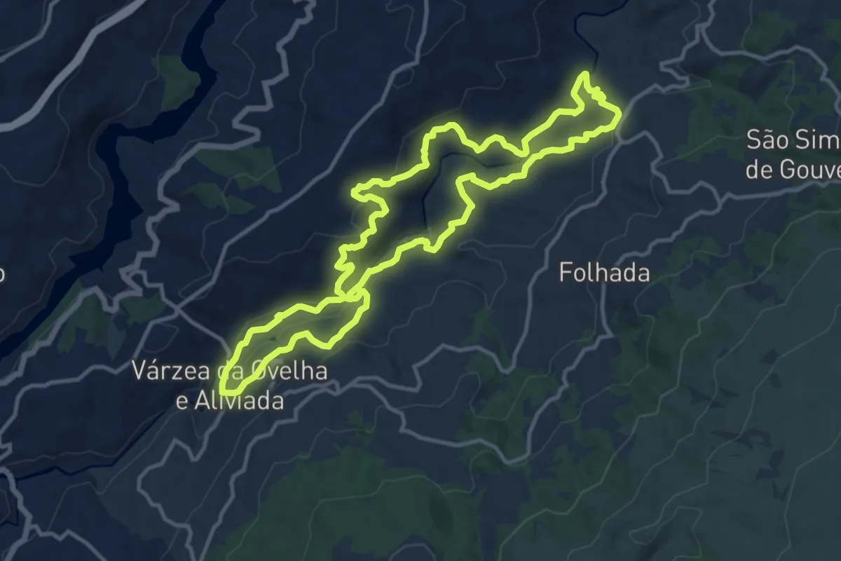
PR7 - Aldeias e Margens do rio Ovelha
12.7 km · ↑ 449 m · 4 h 9 min · 8 km away
Easy · Trail
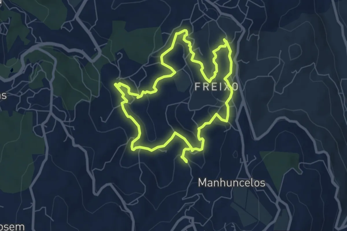
PR6 Caminhos de Tongobriga
6.9 km · ↑ 197 m · 2 h 9 min · 10 km away
Easy · Summit
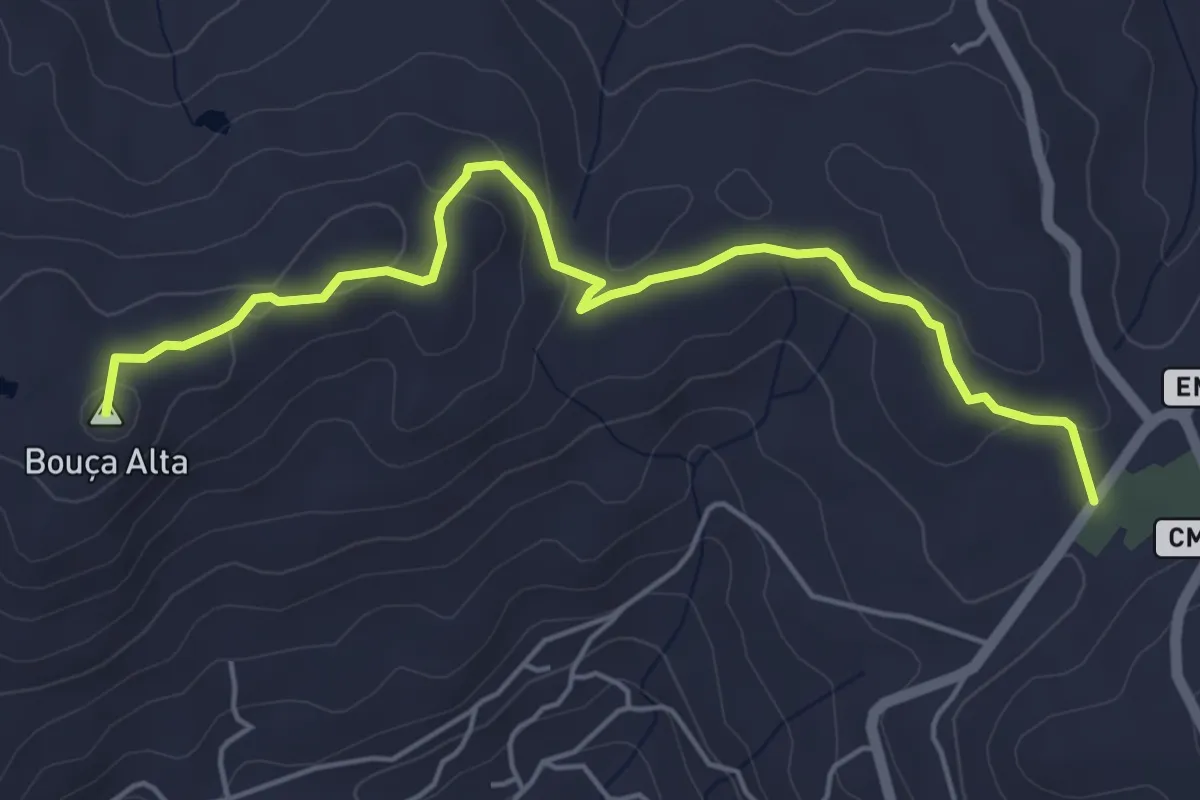
PR3 - Caminho do Rio
6.0 km · ↑ 142 m · 1 h 43 min · 10 km away
Easy · Trail
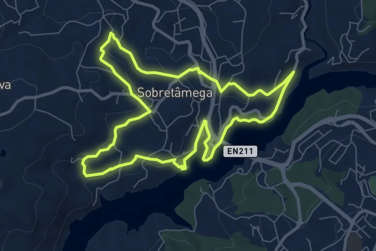
PR5 Caminhos de Canaveses
6.7 km · ↑ 182 m · 2 h 5 min · 12 km away
Easy · Trail
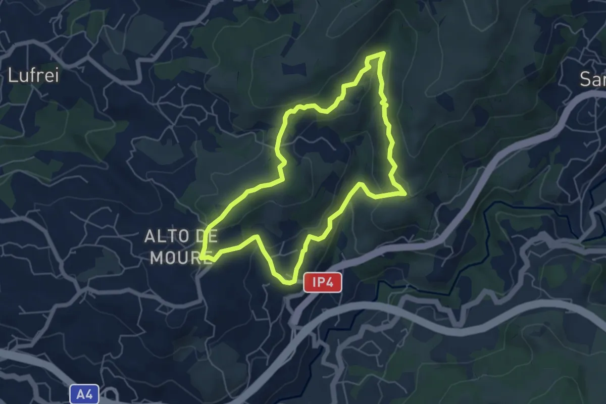
Rota do Marancinho
5.6 km · ↑ 223 m · 1 h 53 min · 12 km away
Medium · Trail
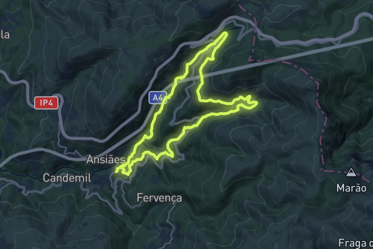
Rio Marão
13.5 km · ↑ 676 m · 4 h 50 min · 12 km away
Medium · Trail
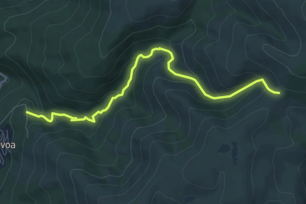
Marão tem sangue Azul
8.0 km · ↑ 442 m · 2 h 50 min · 12 km away
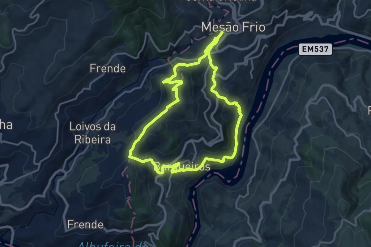
Medium · Summit
Rota do Pico da Vila
10.2 km · ↑ 499 m · 3 h 38 min · 12 km away
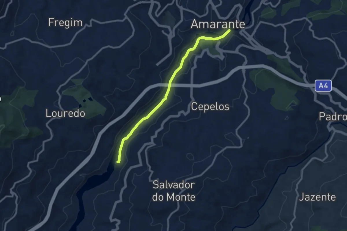
Easy · Trail
Trilho dos Castanheiros
7.6 km · ↑ 78 m · 1 h 58 min · 12 km away
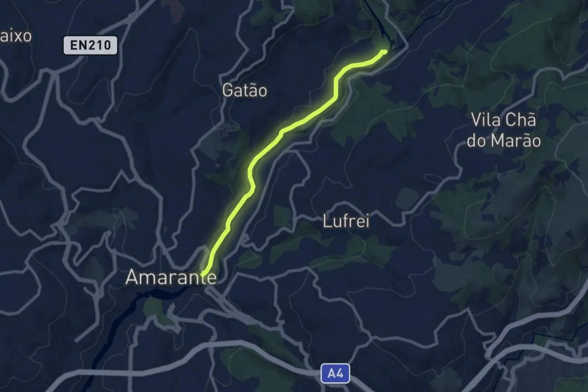
Medium · Trail
Trilho Nossa Senhora do Vau
8.1 km · ↑ 107 m · 2 h 8 min · 13 km away
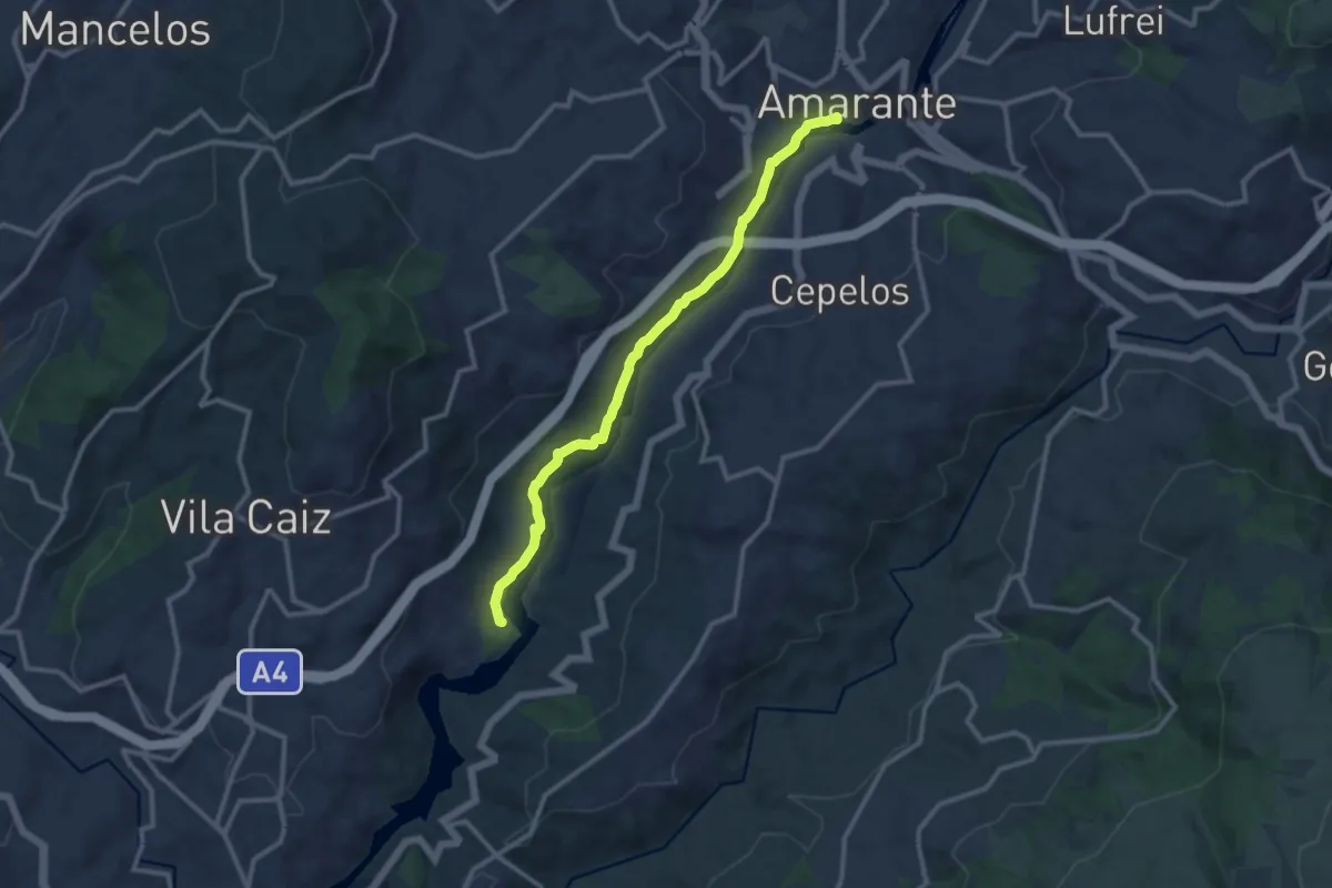
Medium · Trail
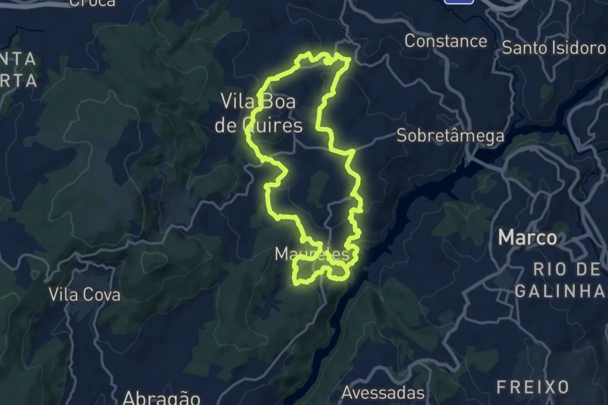
Trilho das Azenhas
11.9 km · ↑ 160 m · 3 h 10 min · 13 km away
Medium · Trail
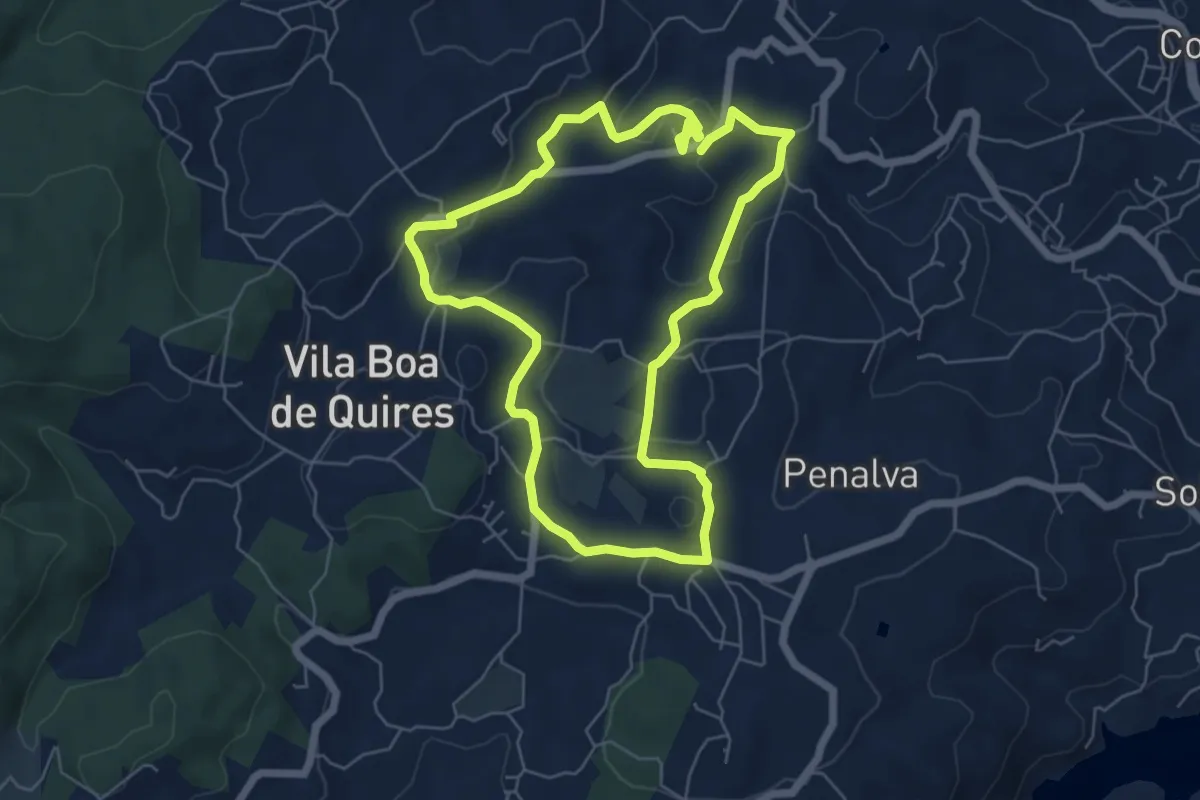
Trilhos de Portocarreiro
15.1 km · ↑ 518 m · 4 h 52 min · 13 km away
Easy · Trail
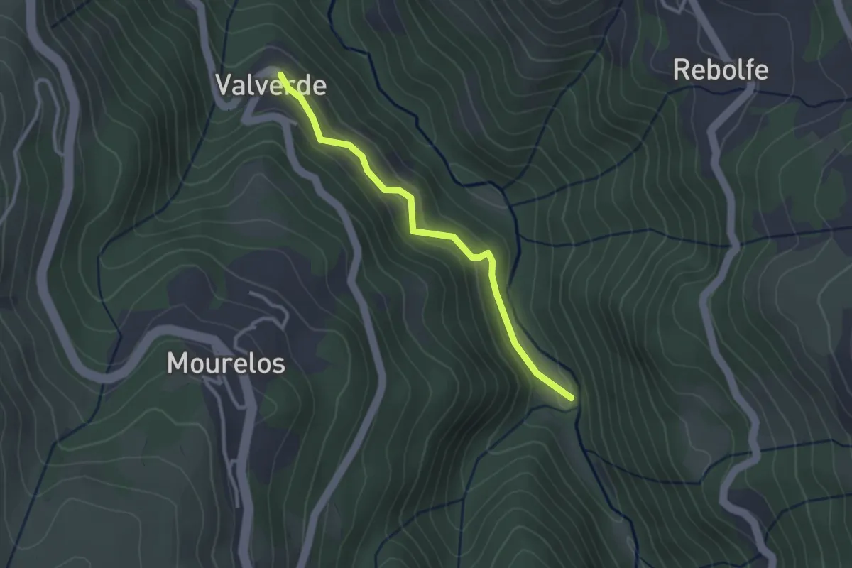
Trilho de Portocarreiro - Variante
6.4 km · ↑ 138 m · 1 h 53 min · 14 km away
Easy · Trail
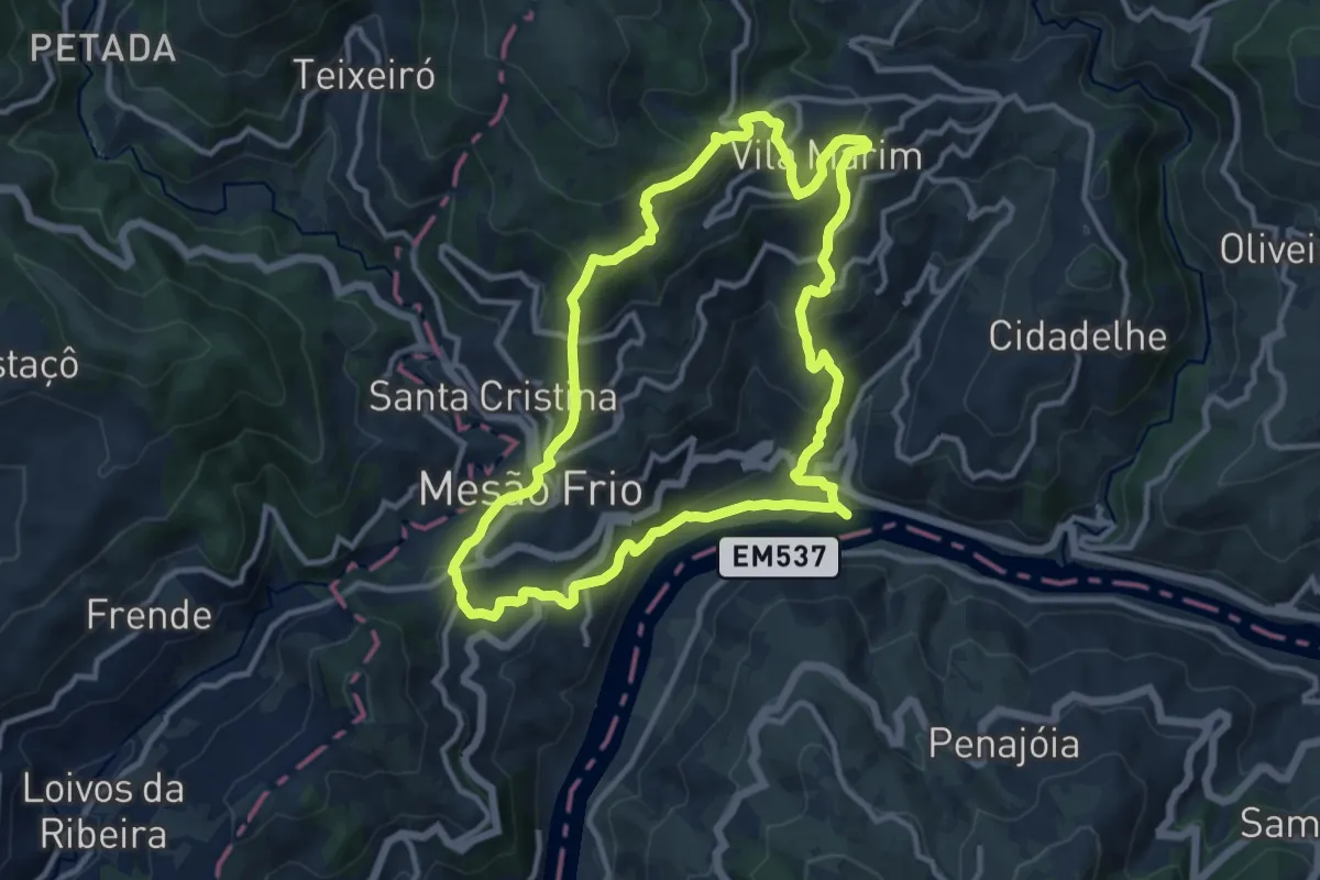
Estação da Biodiversidade do Vale do Bestança
2.9 km · ↑ 217 m · 1 h 9 min · 14 km away
Medium · Trail
Rota dos Quatros Caminhos
12.1 km · ↑ 677 m · 4 h 29 min · 14 km away
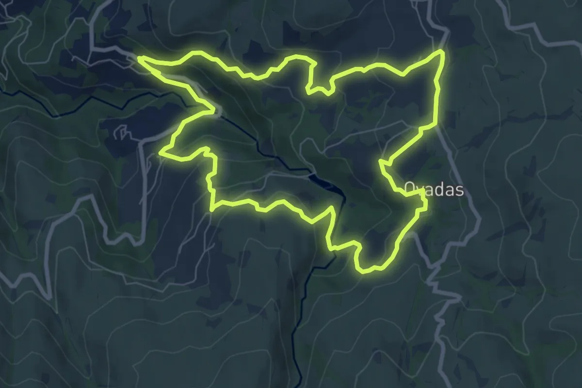
Medium · Trail
PR1 RSD – Vale do Cabrum Superior
8.8 km · ↑ 429 m · 3 h 8 min · 14 km away
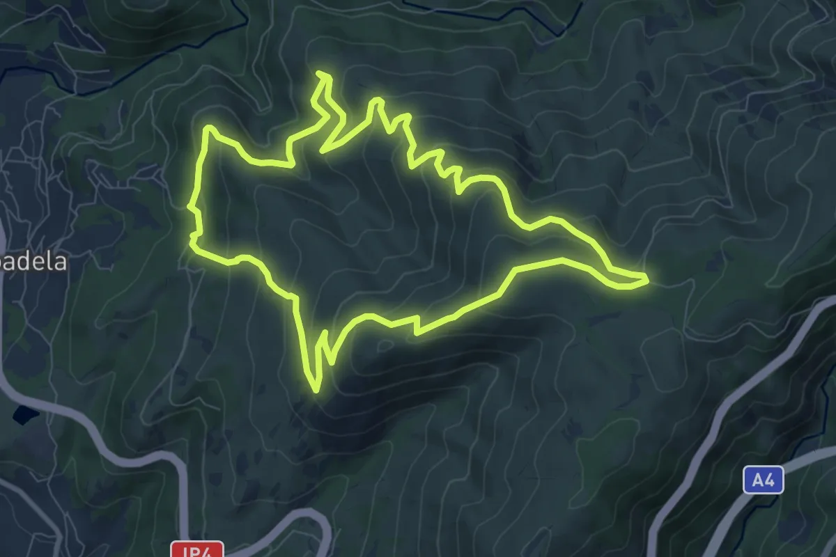
Medium · Trail
Trilho do Bosque dos Avós
9.7 km · ↑ 525 m · 3 h 35 min · 15 km away