Trails near Canedo
27 hikes starting within 15 km, nearest first.
Nearest first
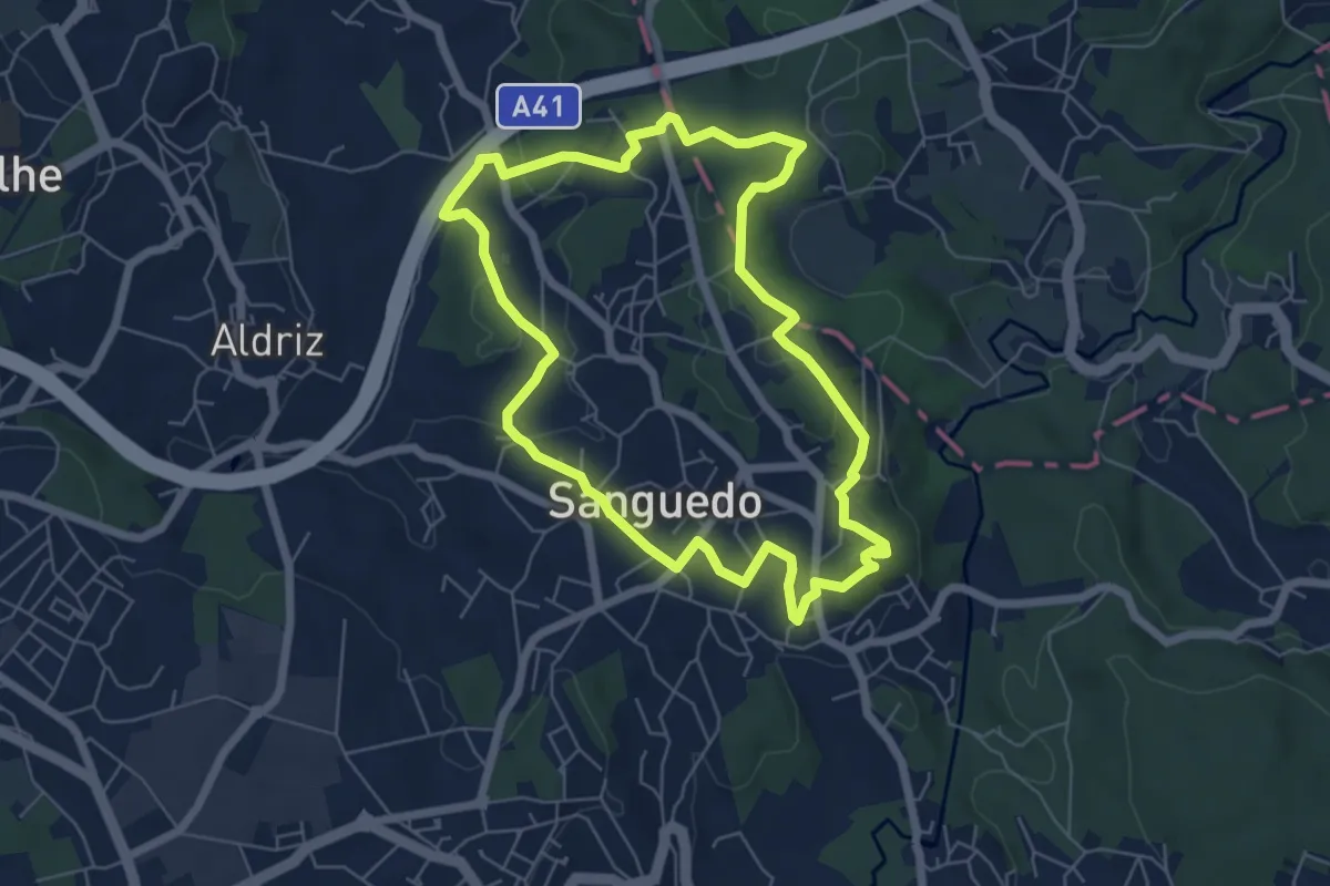
Easy · Trail
PR2 Sãobartuíma
6.6 km · ↑ 145 m · 1 h 58 min · 5 km away
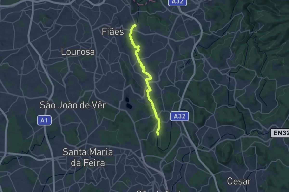
Demanding · Trail
Ecossistema Fluvial do Uíma
18.6 km · ↑ 105 m · 4 h 38 min · 5 km away
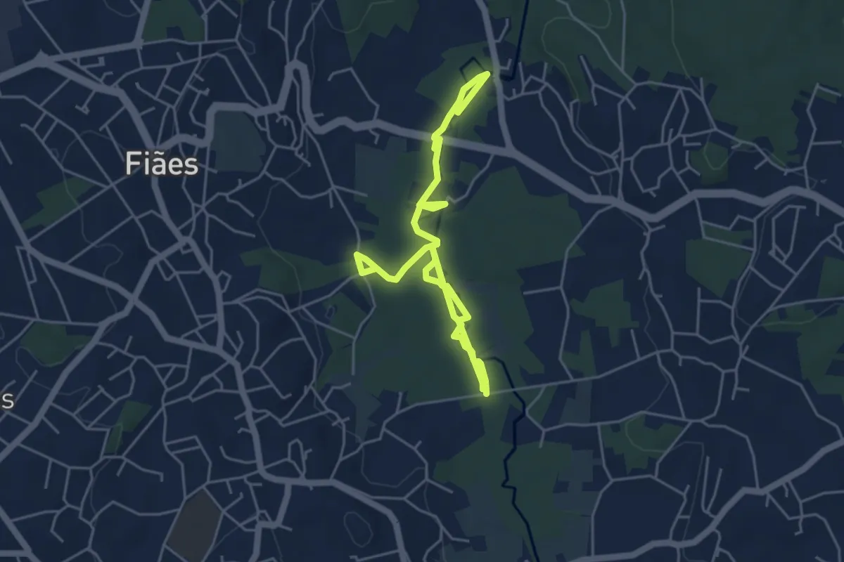
Easy · Trail
Passadiços do Rio Uíma
7.1 km · ↑ 17 m · 1 h 43 min · 6 km away
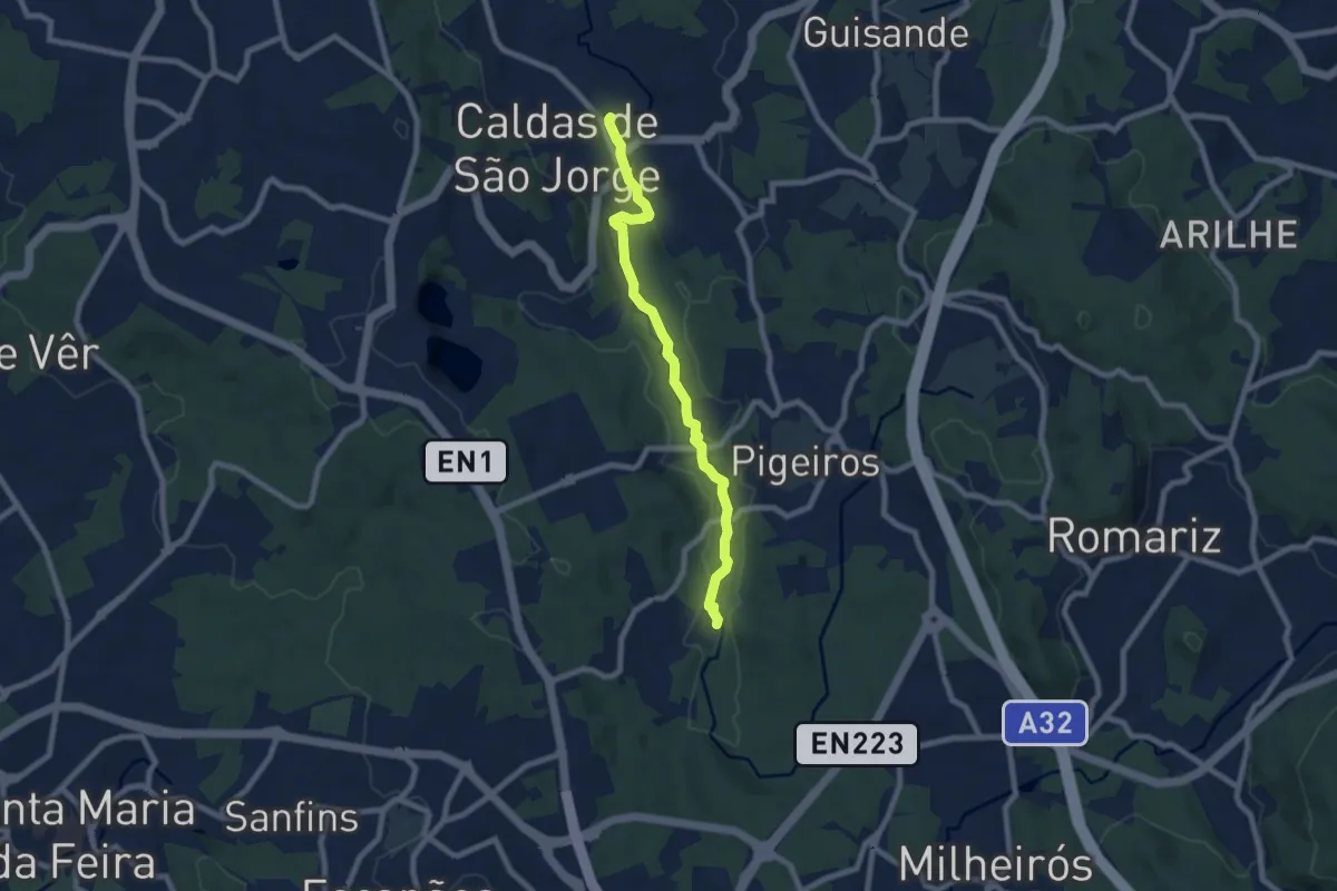
Medium · Trail
PR1 SMF - Rio Uíma
8.2 km · ↑ 68 m · 2 h 5 min · 7 km away
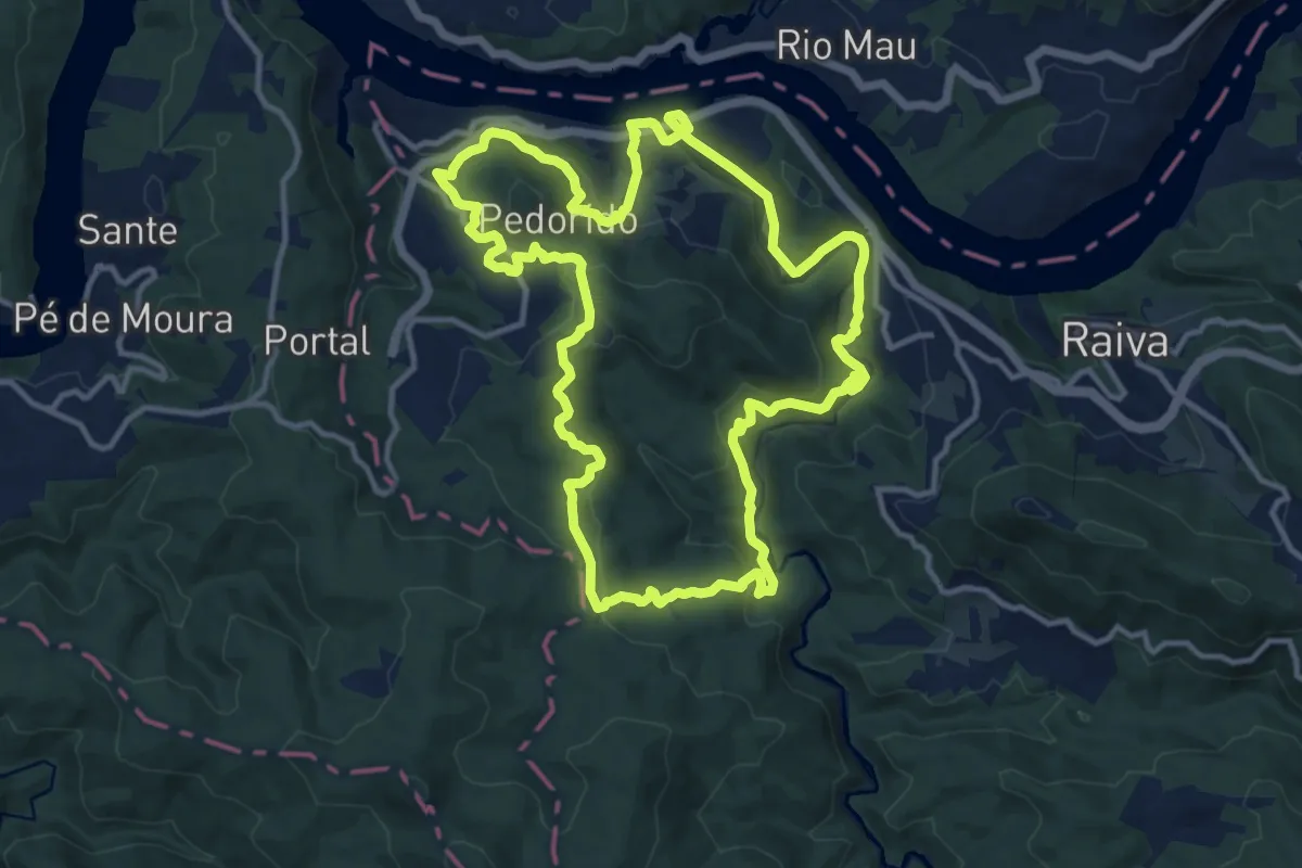
Medium · Trail
PP08 – Pedorido
14.1 km · ↑ 509 m · 4 h 38 min · 7 km away
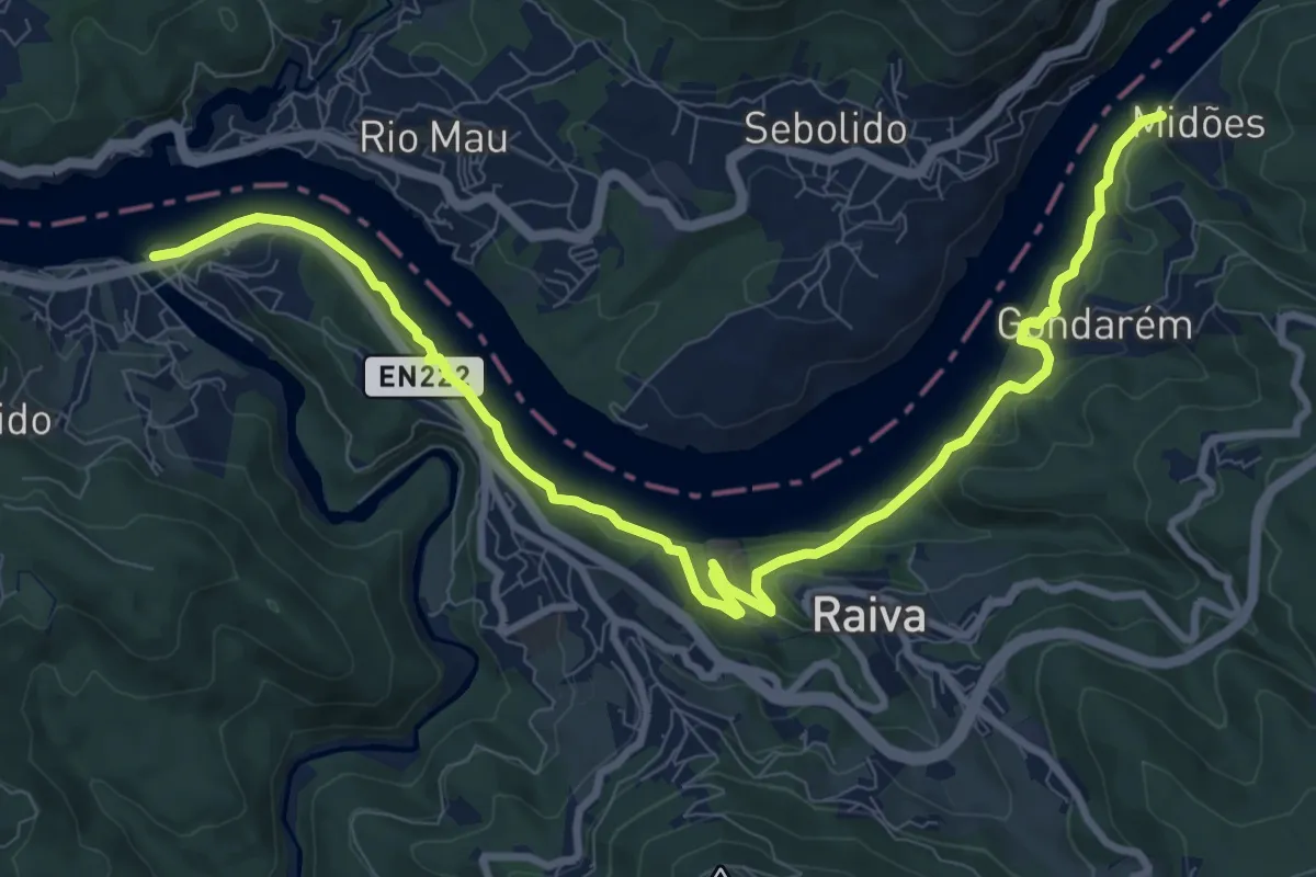
Medium · Trail
Percurso Viver o Douro
12.8 km · ↑ 345 m · 3 h 46 min · 7 km away
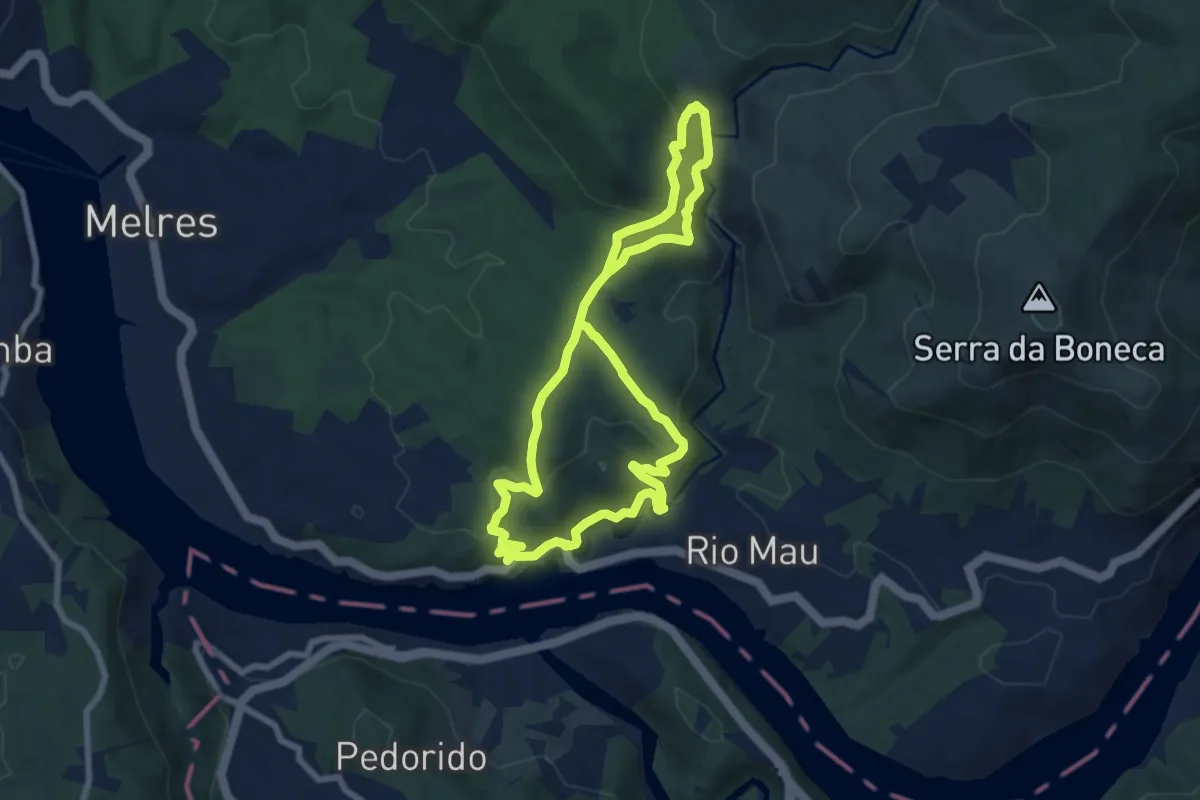
Medium · Trail
Caminhos do Rio Mau – Terra da Apicultura
14.6 km · ↑ 603 m · 4 h 46 min · 8 km away
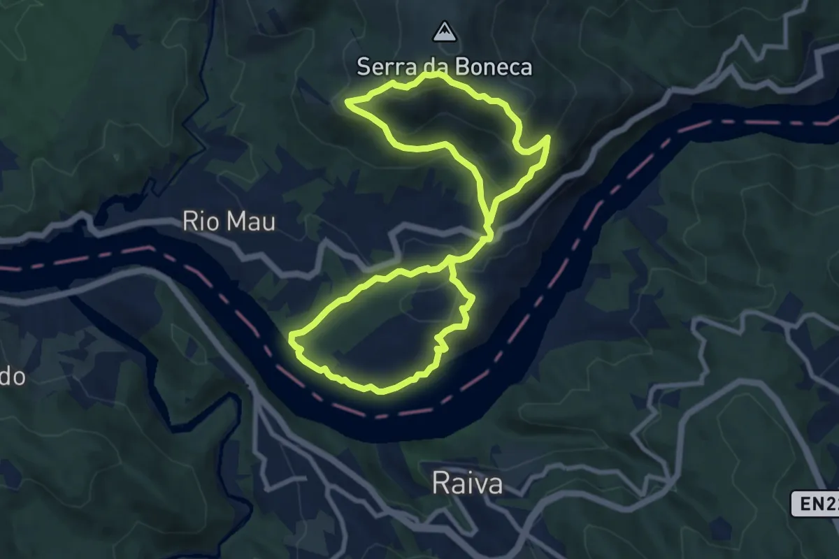
Demanding · Trail
A Boneca, o Baloiço e o Douro
16.4 km · ↑ 880 m · 5 h 46 min · 10 km away
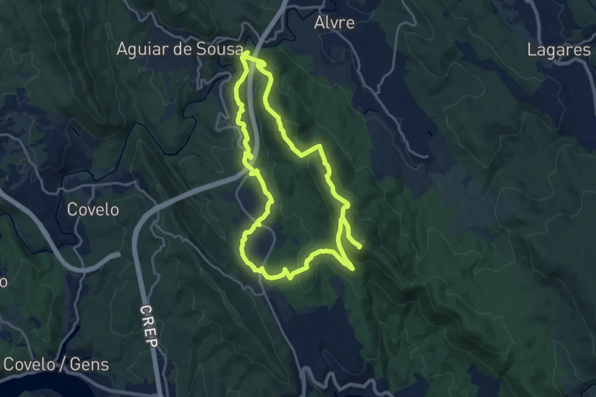
Demanding · Summit
Trilho Histórico
27.1 km · ↑ 1018 m · 8 h 36 min · 10 km away
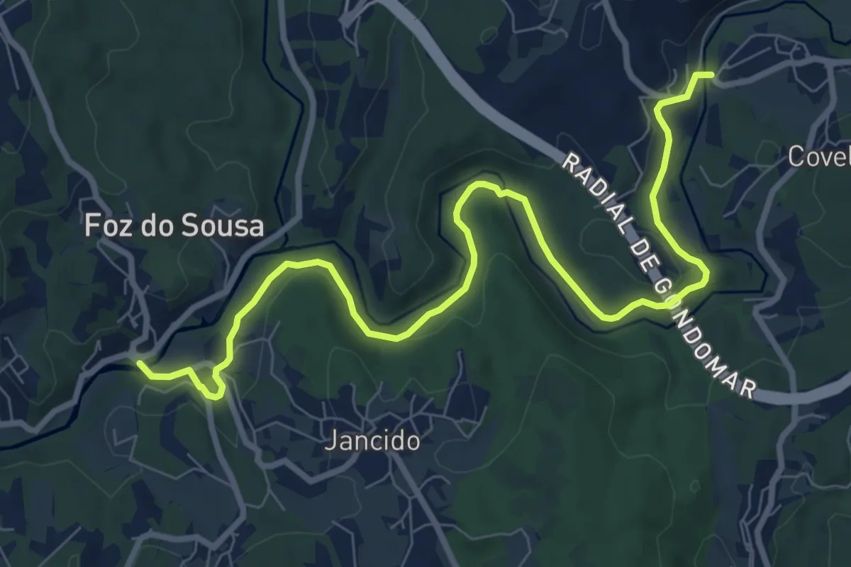
Medium · Trail
PR1 GDM – Linha de Midões e os Moinhos de Jancido
10.5 km · ↑ 156 m · 2 h 49 min · 10 km away
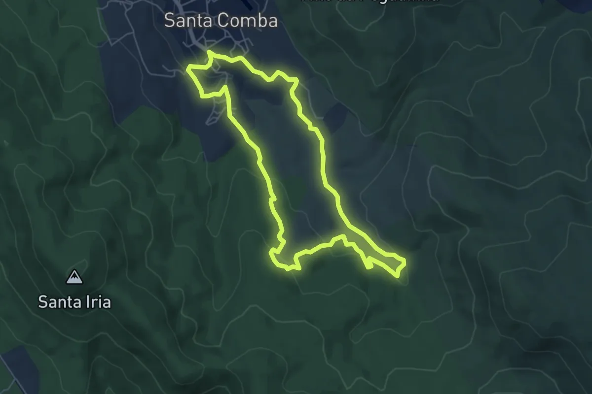
Easy · Trail
Trilho da Ribeira de Santa Comba
6.0 km · ↑ 199 m · 1 h 56 min · 11 km away
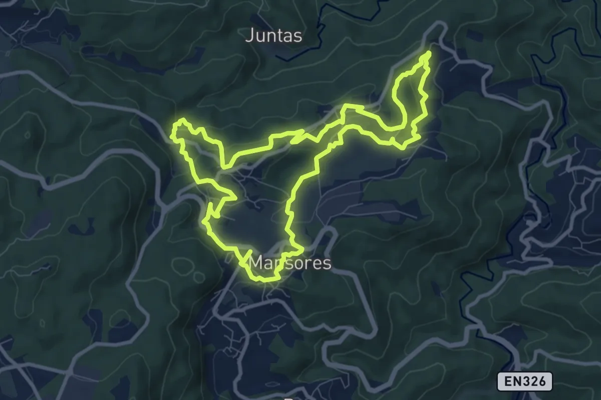
Medium · Trail
Trilho das Levadas
9.8 km · ↑ 314 m · 3 h 7 min · 12 km away
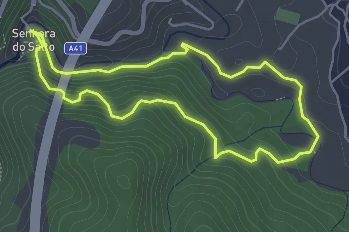
Easy · Trail
Trilho de Alvre
3.4 km · ↑ 143 m · 1 h 10 min · 12 km away
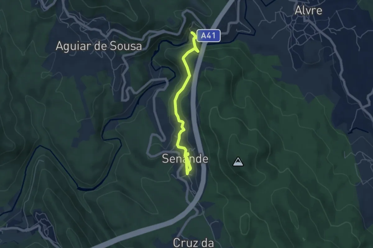
Easy · Trail
Trilho da Peregrinação
2.6 km · ↑ 119 m · 53 min · 12 km away
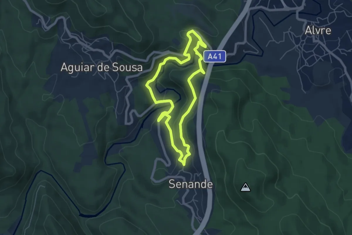
Easy · Trail
Trilho dos Moinhos
5.1 km · ↑ 226 m · 1 h 47 min · 12 km away
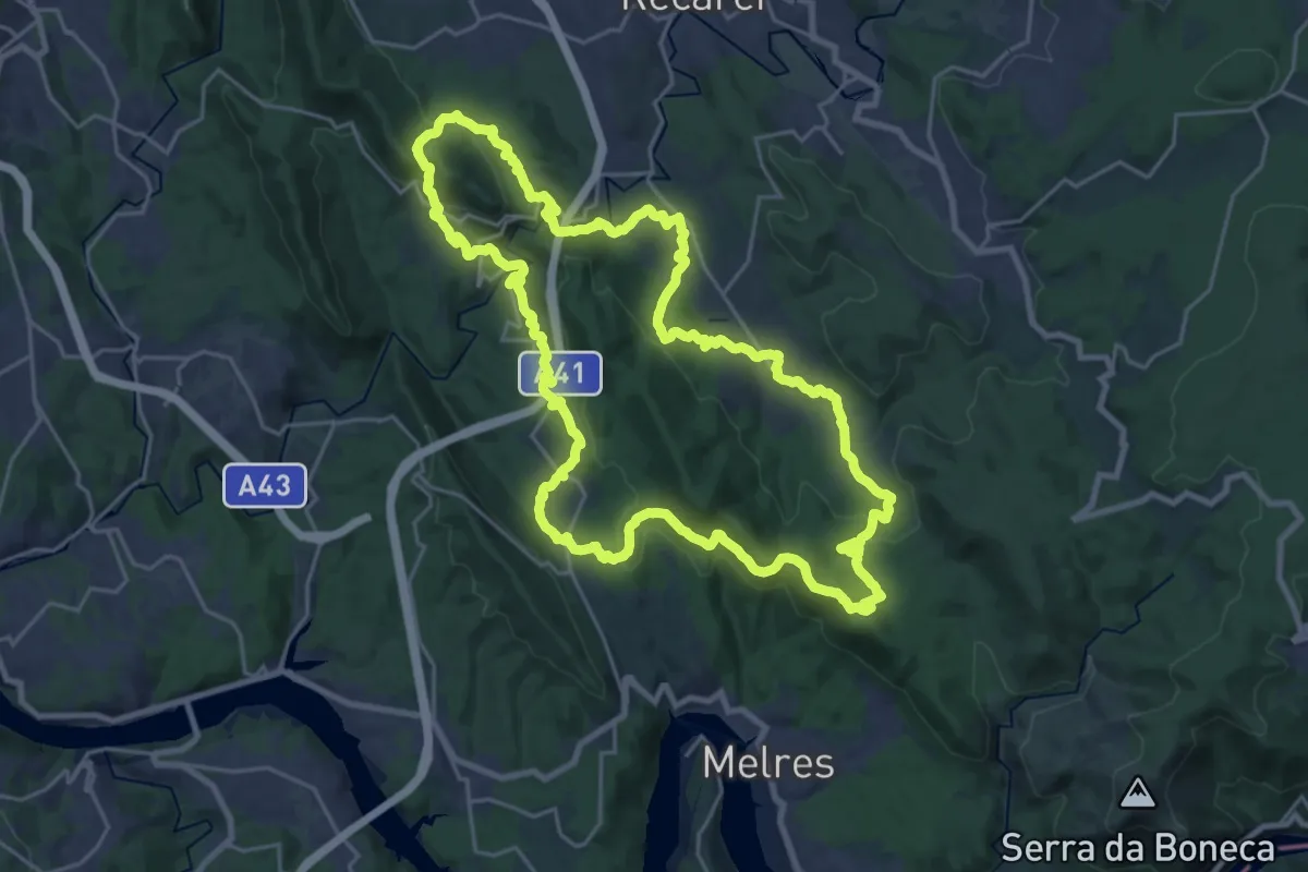
Demanding · Trail
Trilho das Aldeias
27.1 km · ↑ 947 m · 8 h 49 min · 12 km away
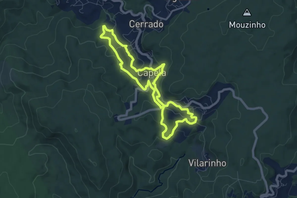
Easy · Trail
Moinhos de Capela a Moinhos de Cabroelo
8.0 km · ↑ 265 m · 2 h 34 min · 13 km away
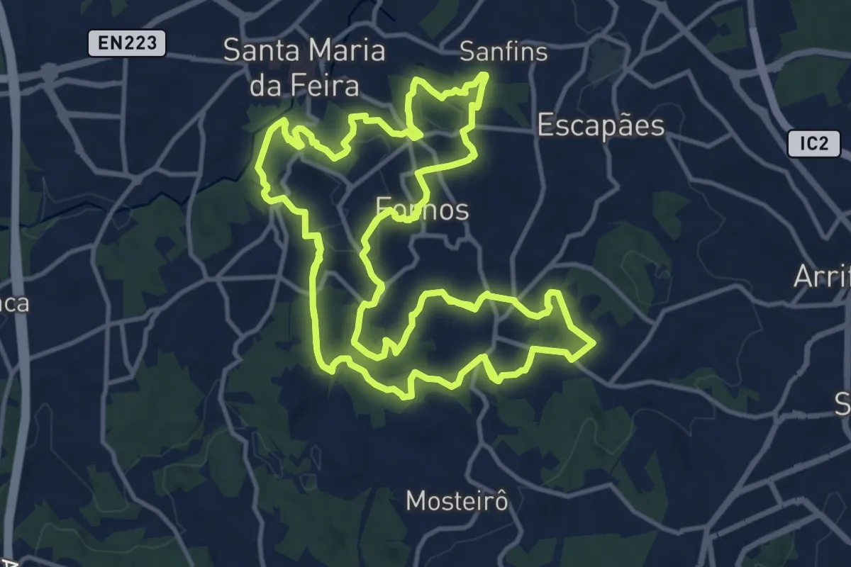
Medium · Trail
Trilho dos Três Arcos
17.8 km · ↑ 539 m · 5 h 37 min · 13 km away
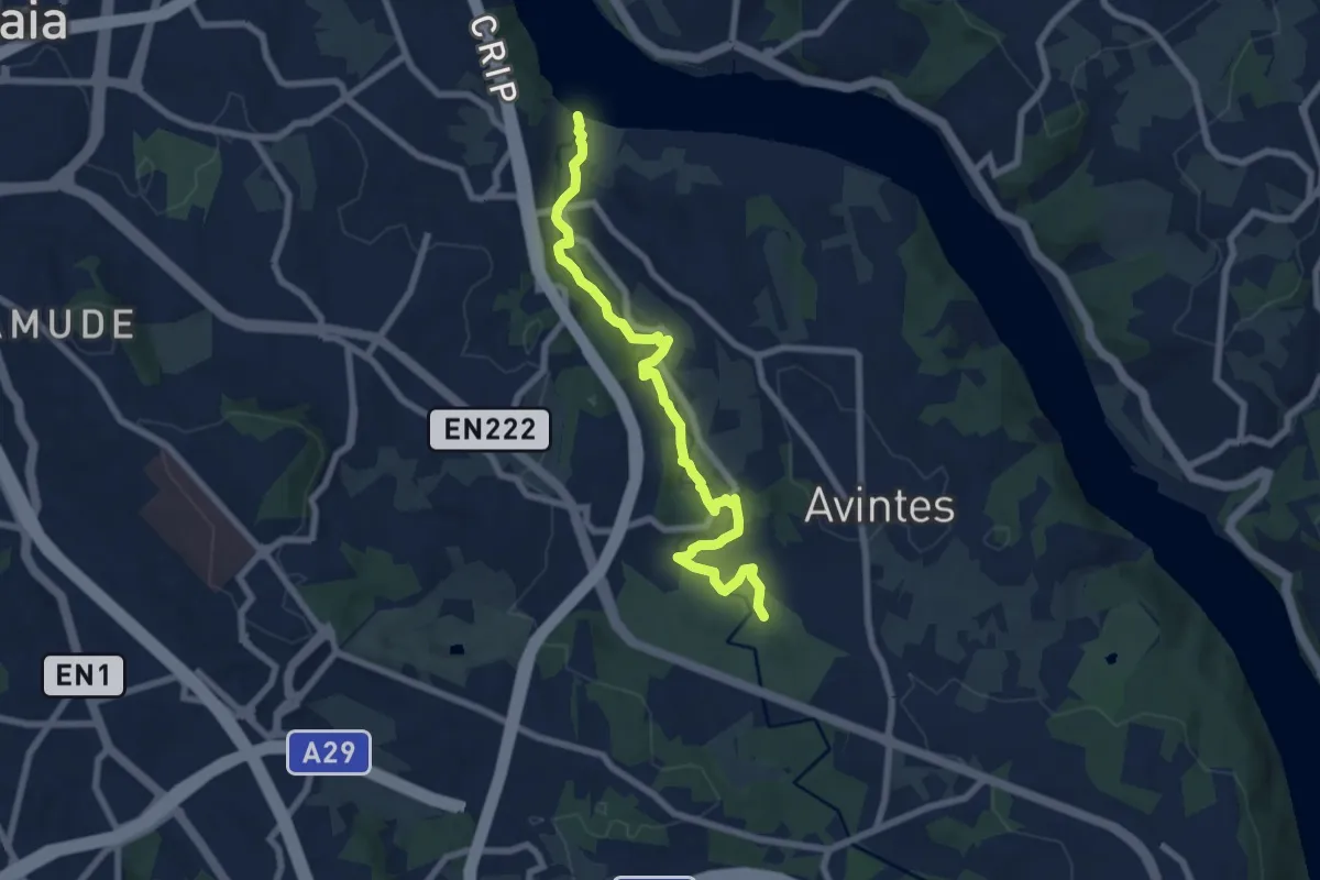
Medium · Trail
PR1 VNG Trilho do Rio Febros
8.5 km · ↑ 125 m · 2 h 17 min · 13 km away
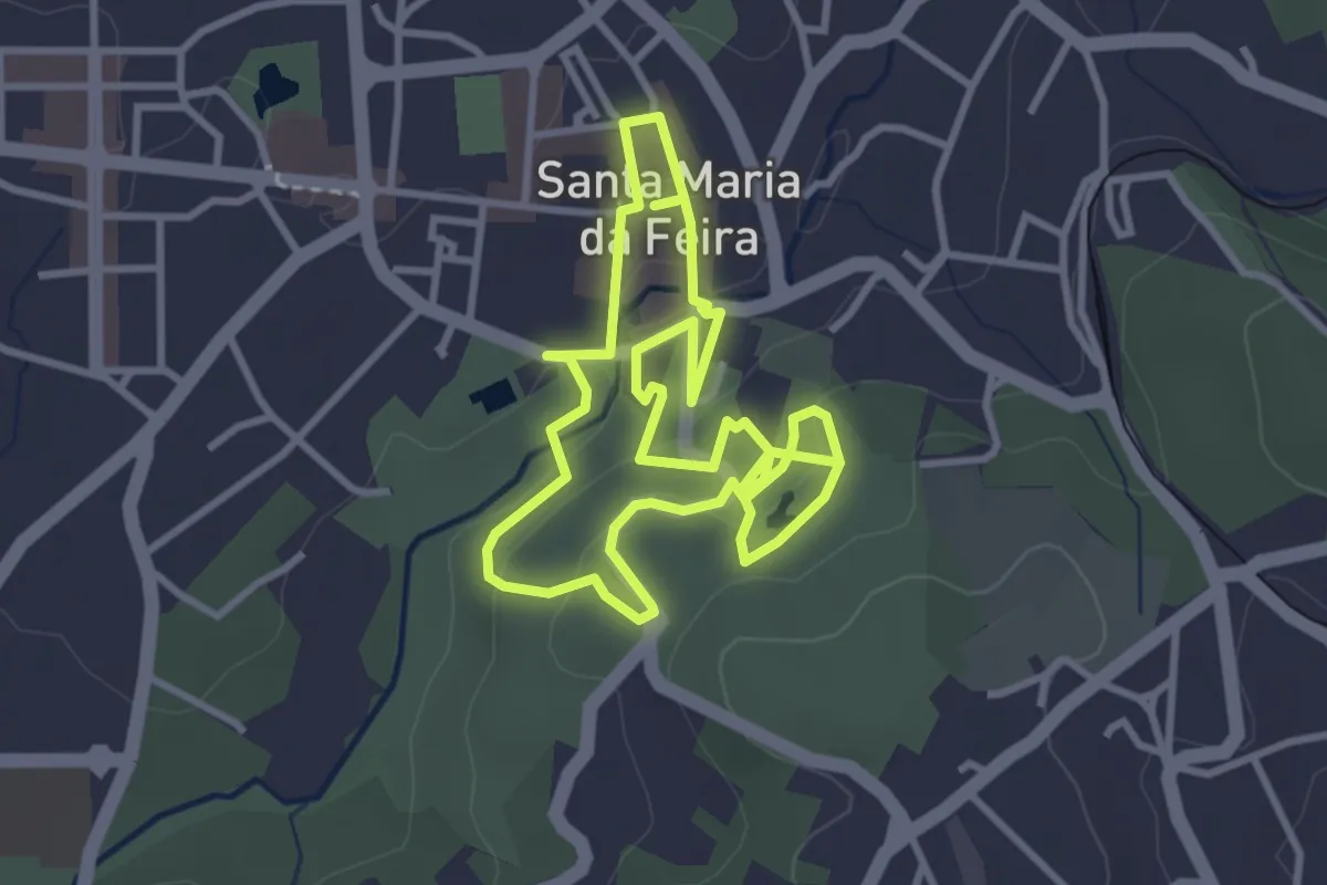
Easy · Trail
Percurso com História
3.6 km · ↑ 112 m · 1 h 8 min · 13 km away
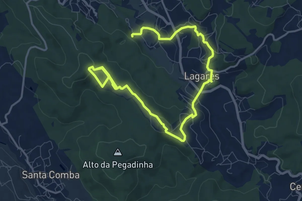
Easy · Trail
Quintandona Terra de Mil Cores, Festas e Sabores - Centro Histórico
7.2 km · ↑ 147 m · 2 h 11 min · 13 km away
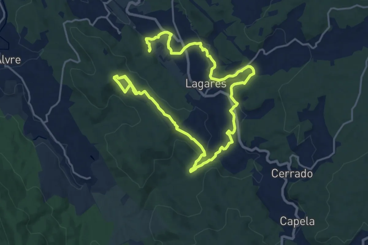
Medium · Trail
Quintandona Terra de Mil Cores, Festas e Sabores - Biodiversidade
11.4 km · ↑ 257 m · 3 h 28 min · 13 km away
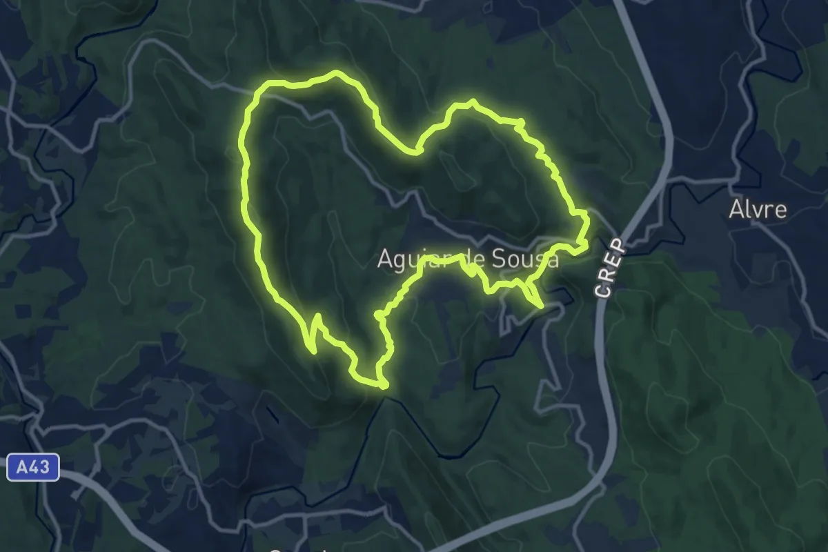
Medium · Summit
Vale de Aguiar
13.0 km · ↑ 519 m · 4 h 23 min · 14 km away
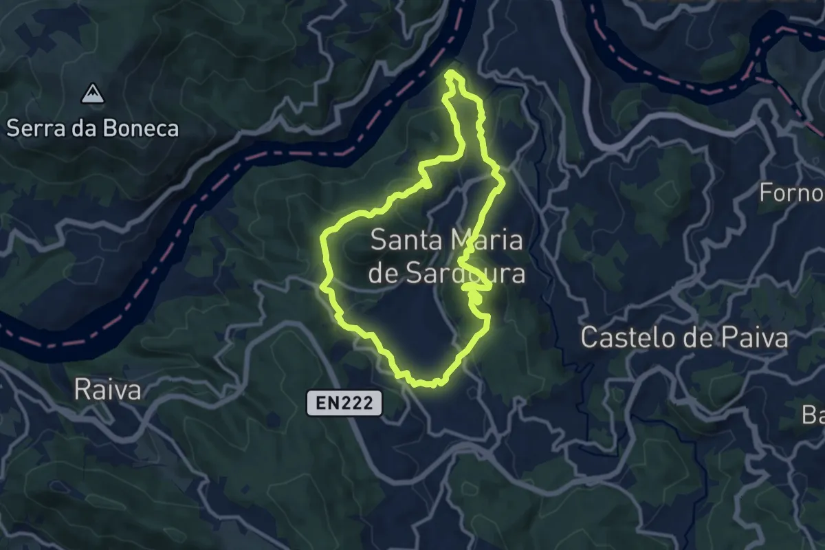
Medium · Summit
Sardoura
10.5 km · ↑ 421 m · 3 h 32 min · 14 km away
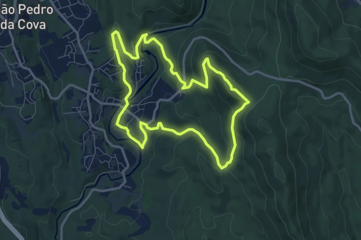
Easy · Trail
PR3 GDM - Trilho de Belói
7.4 km · ↑ 261 m · 2 h 25 min · 14 km away
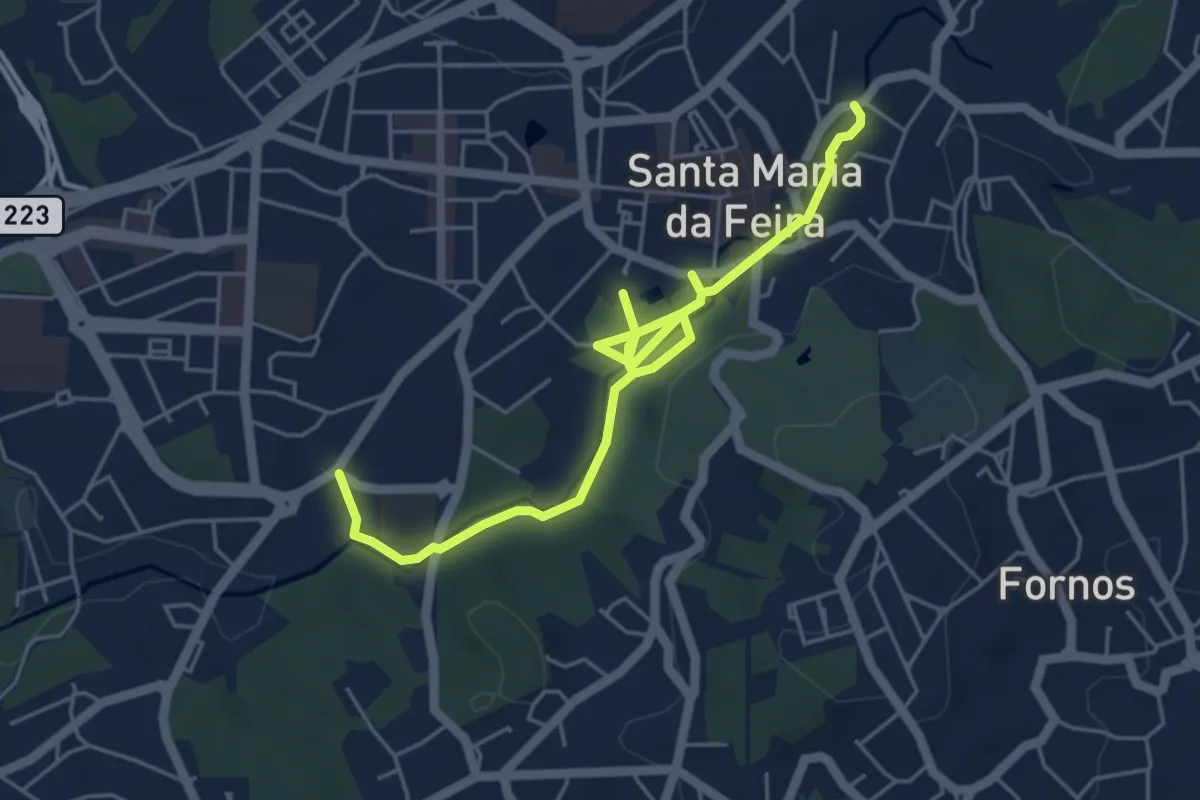
Easy · Trail
Percurso Urbano do Cáster
6.7 km · ↑ 63 m · 1 h 43 min · 14 km away
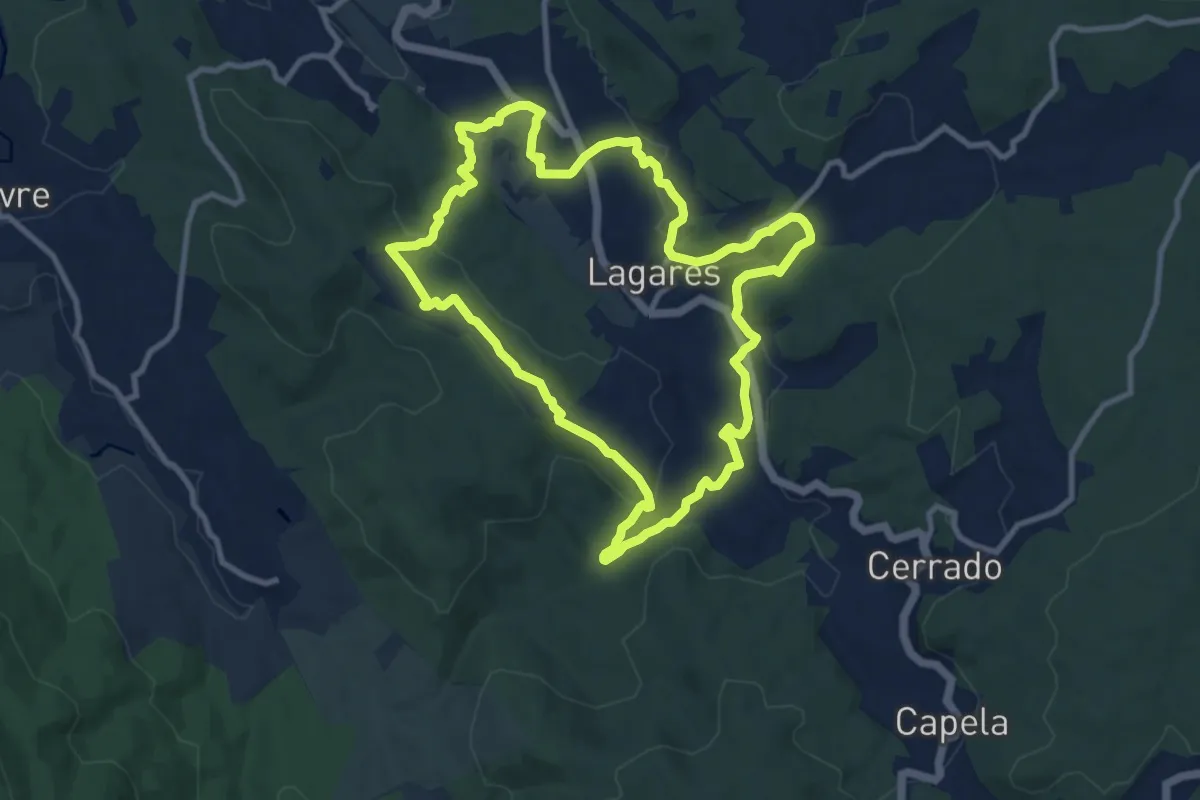
Medium · Trail
Quintandona Terra de Mil Cores, Festas e Sabores
10.8 km · ↑ 332 m · 3 h 25 min · 14 km away