Trails near Covilhã
25 hikes starting within 15 km, nearest first.
Nearest first
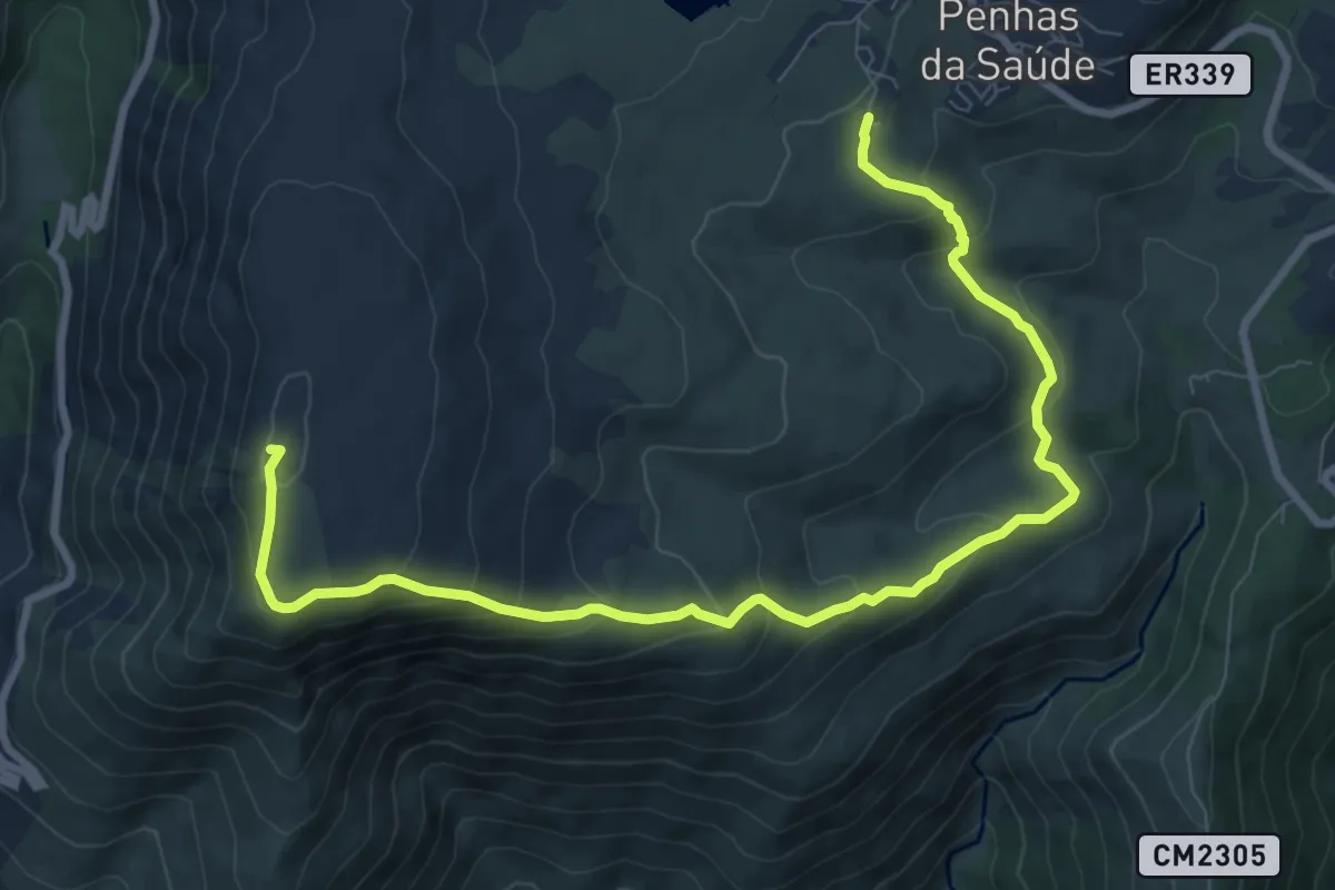
Medium · Summit
Rota da Varanda dos Pastores
11.4 km · ↑ 629 m · 4 h 4 min · 5 km away
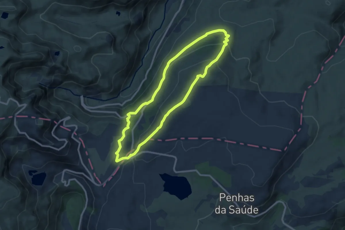
Easy · Summit
Rota dos Poios Brancos
8.0 km · ↑ 303 m · 2 h 39 min · 7 km away
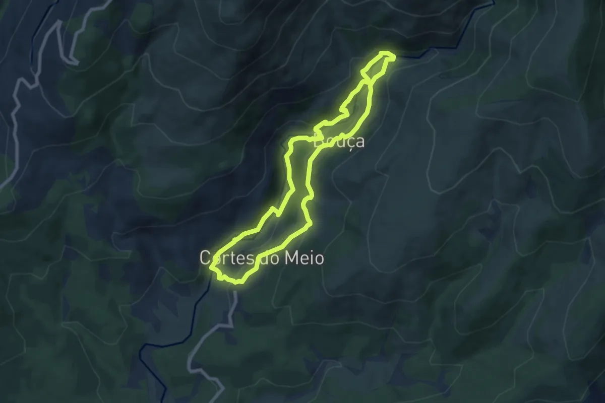
Easy · Trail
Rota das Pontes Cortes do Meio
7.4 km · ↑ 289 m · 2 h 28 min · 7 km away
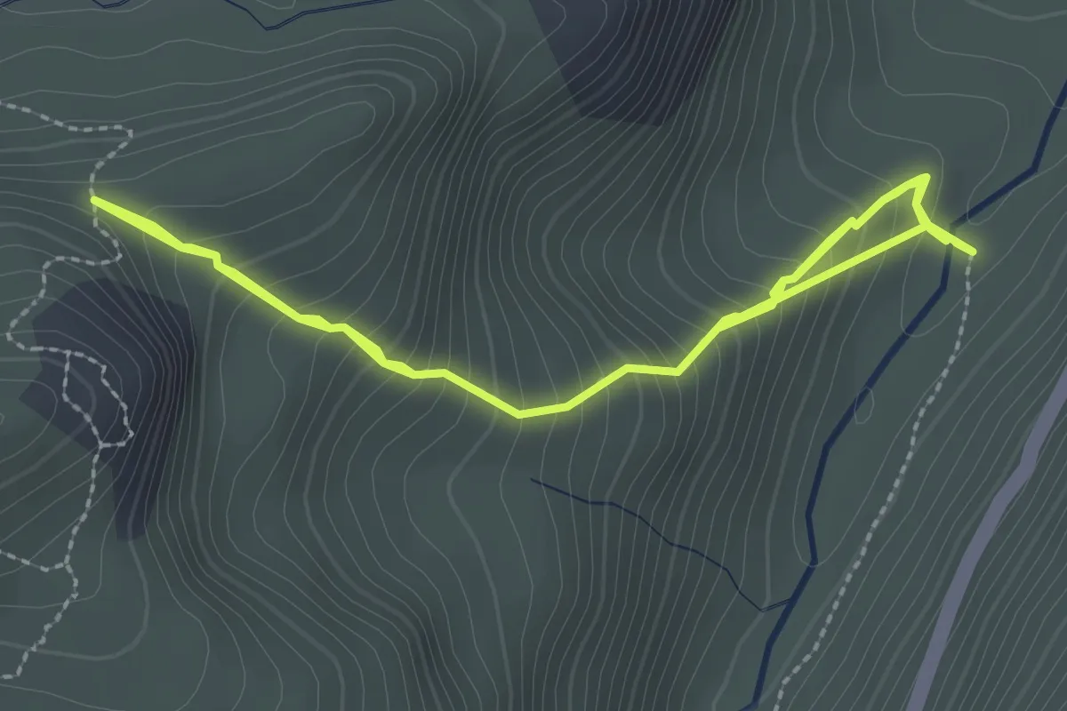
Medium · Trail
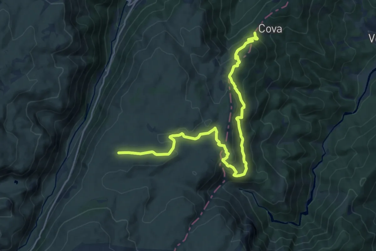
Rota do Maciço Central - Derivação Vale glaciar 1
4.7 km · ↑ 527 m · 2 h 15 min · 9 km away
Demanding · Trail
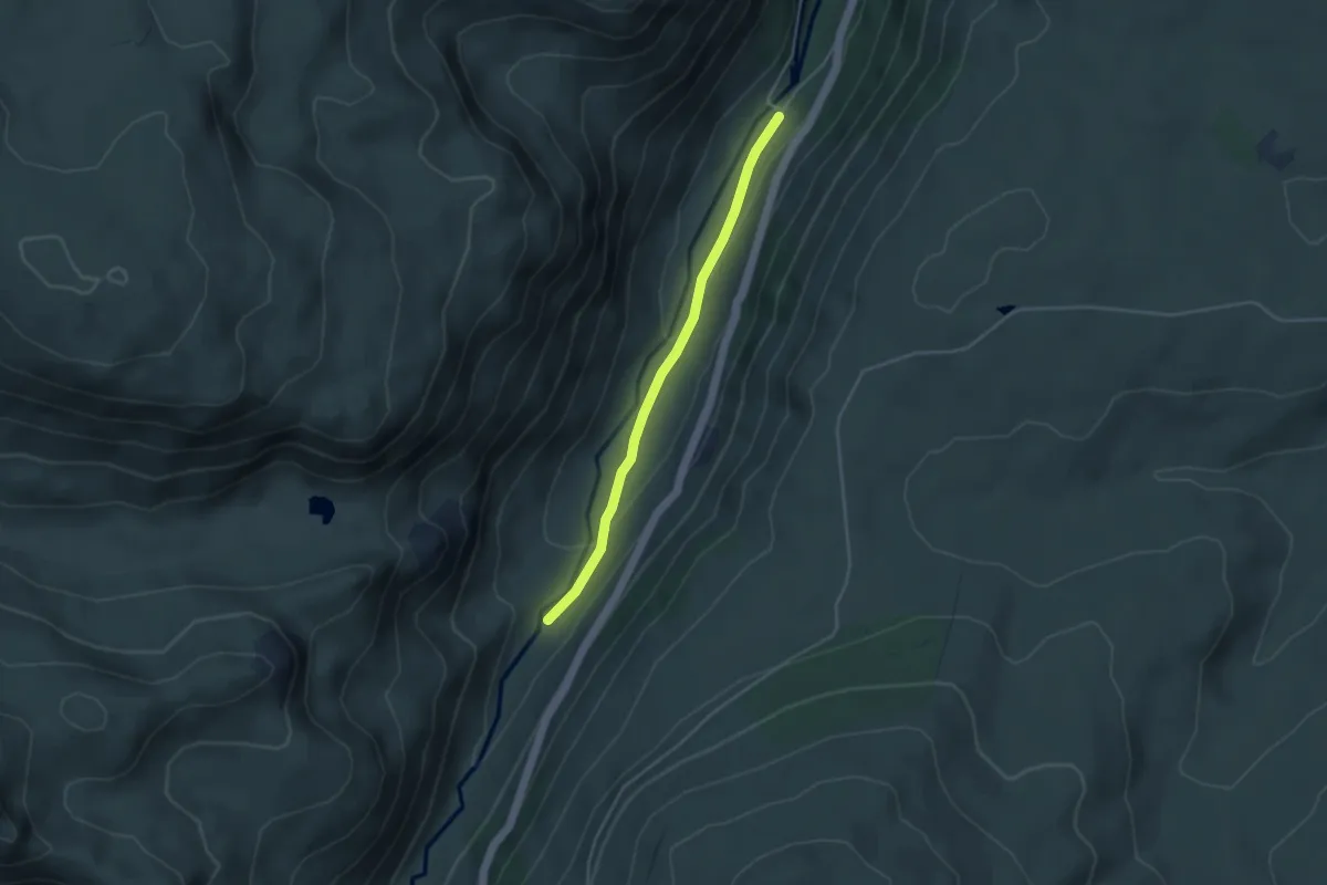
Rota dos Poios Brancos - Derivação 2
19.1 km · ↑ 764 m · 6 h 10 min · 9 km away
Easy · Trail
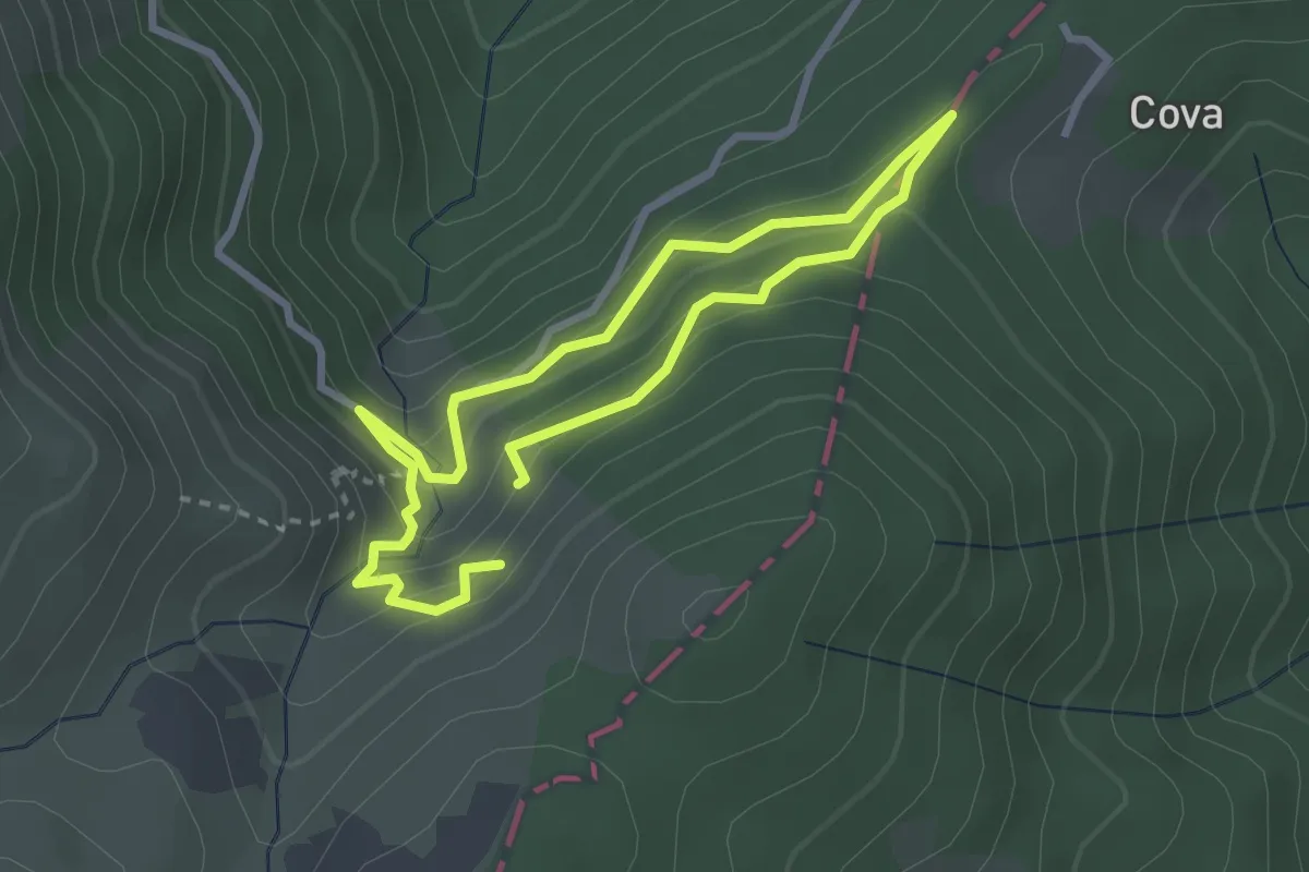
Estação da Biodiversidade do Vale do Zêzere
4.0 km · ↑ 94 m · 1 h 9 min · 10 km away
Demanding · Trail
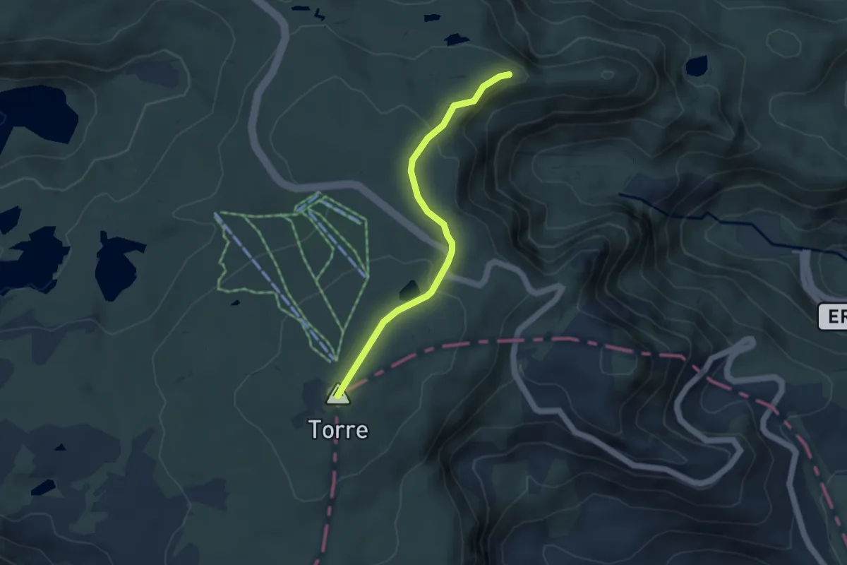
Poço do Inferno
2.6 km · ↑ 195 m · 1 h 5 min · 10 km away
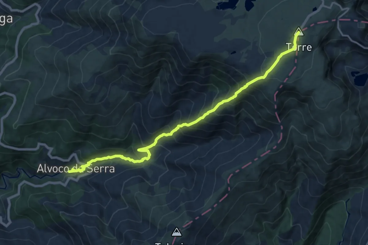
Easy · Summit
Rota do Maciço Central - Derivação Torre
4.1 km · ↑ 141 m · 1 h 17 min · 10 km away
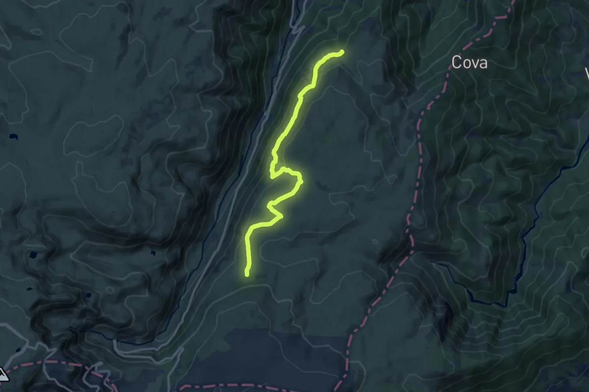
Medium · Trail
Rota dos Poios Brancos - Derivação 1
13.3 km · ↑ 327 m · 3 h 50 min · 11 km away
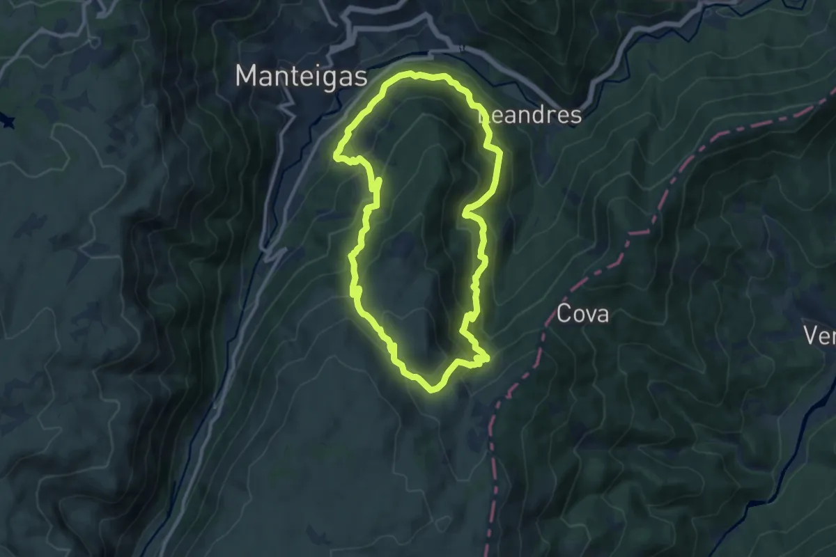
Demanding · Trail
Rota do Javali
10.7 km · ↑ 733 m · 4 h 17 min · 11 km away
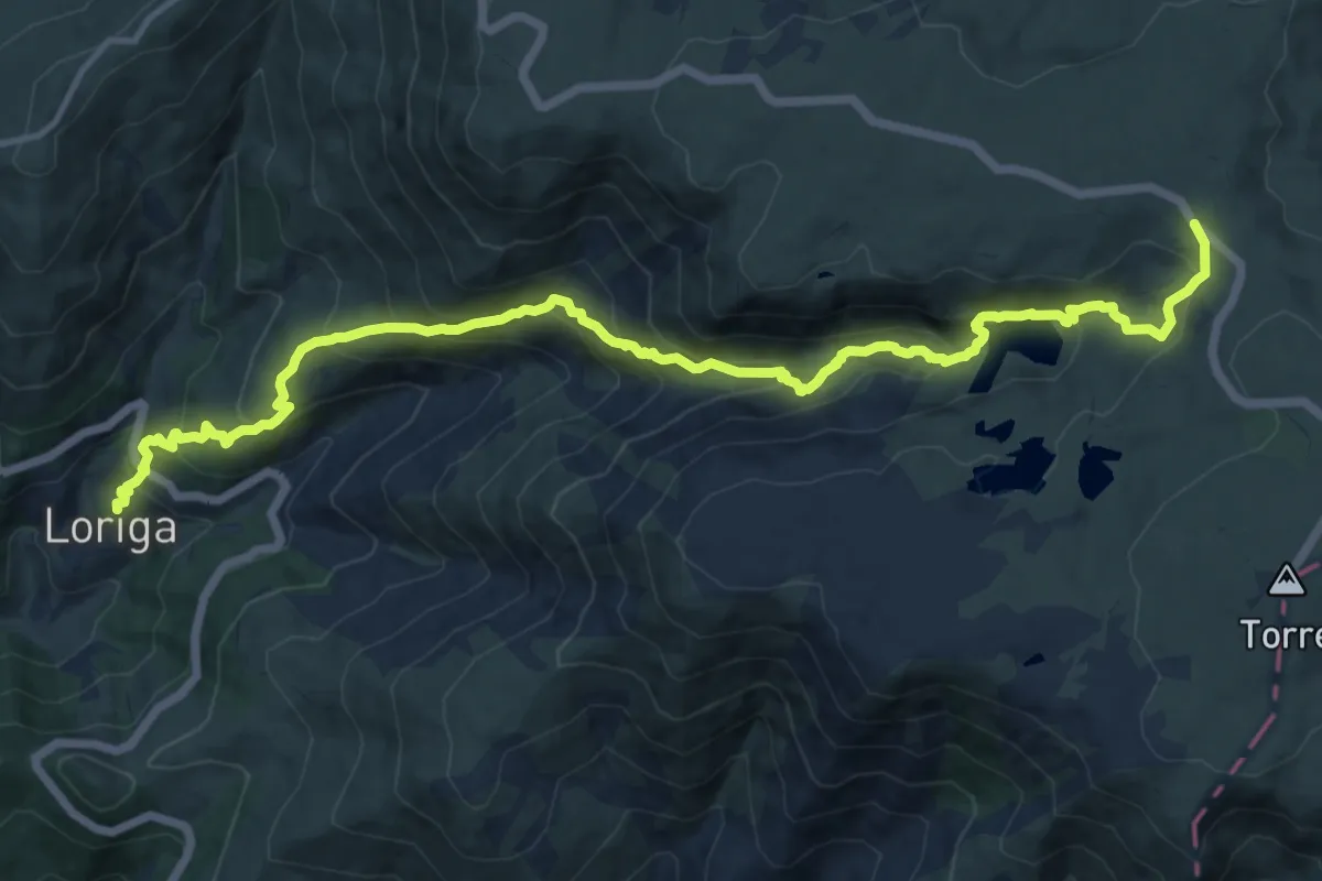
Demanding · Trail
Rota da Garganta de Loriga
17.5 km · ↑ 1143 m · 6 h 36 min · 12 km away
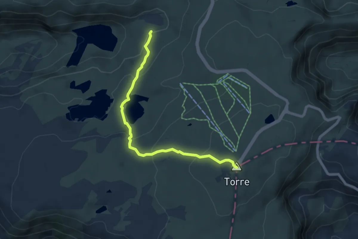
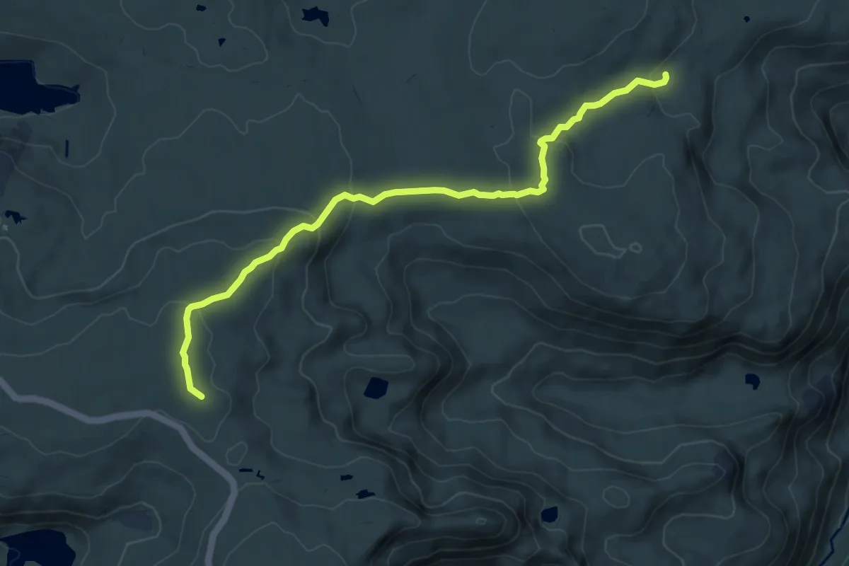
Easy · Summit
Rota da Garganta de Loriga - Derivação Torre
5.3 km · ↑ 242 m · 1 h 46 min · 12 km away
Demanding · Trail
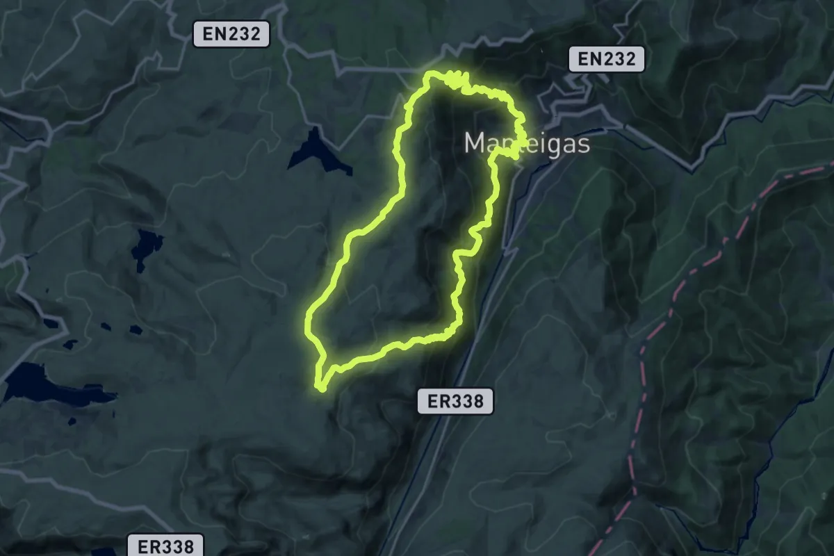
Rota do Maciço Central - Derivação Nave da Mestra
9.0 km · ↑ 300 m · 2 h 46 min · 12 km away
Demanding · Trail
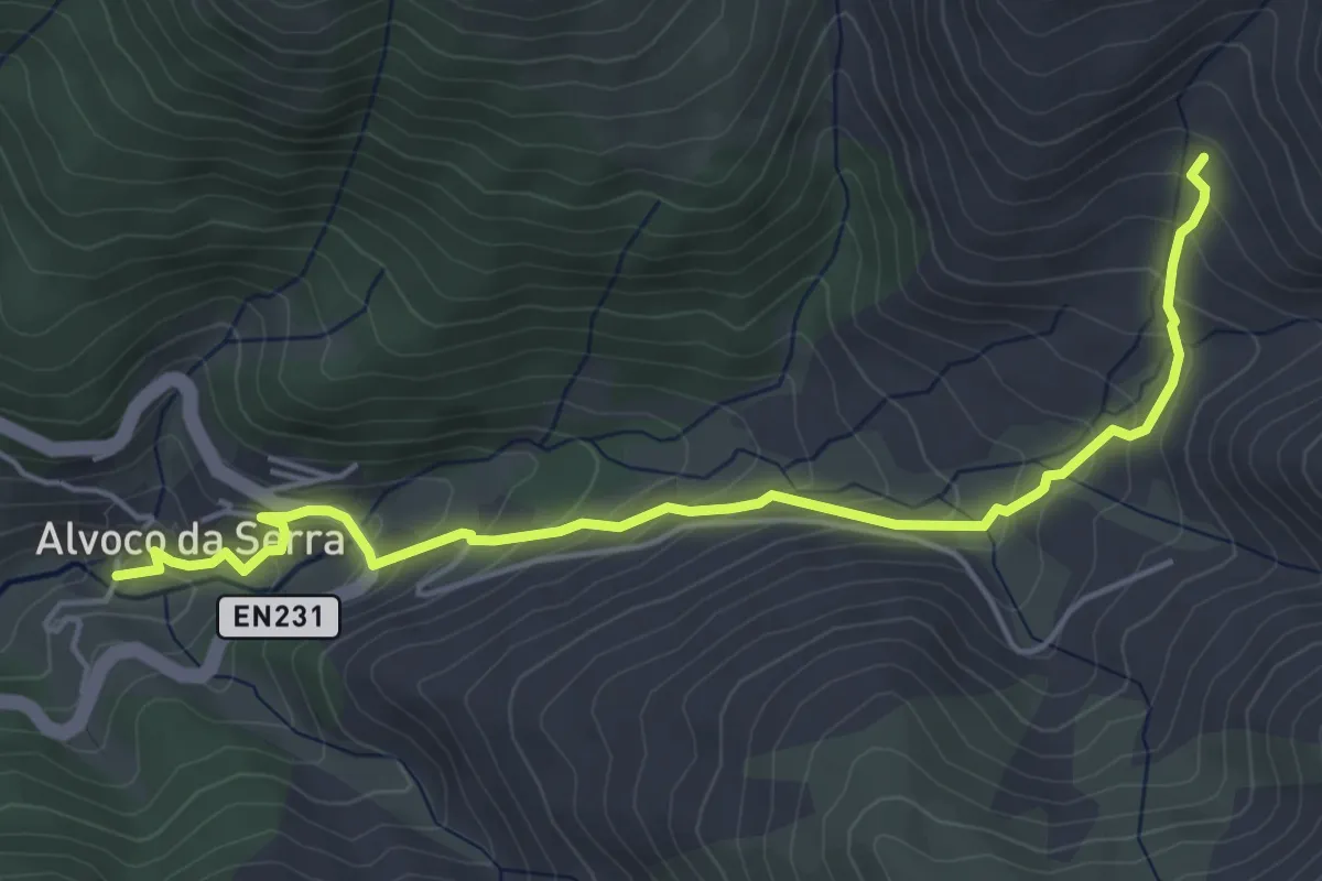
Rota do Carvão
20.5 km · ↑ 1122 m · 7 h 33 min · 12 km away
Easy · Trail
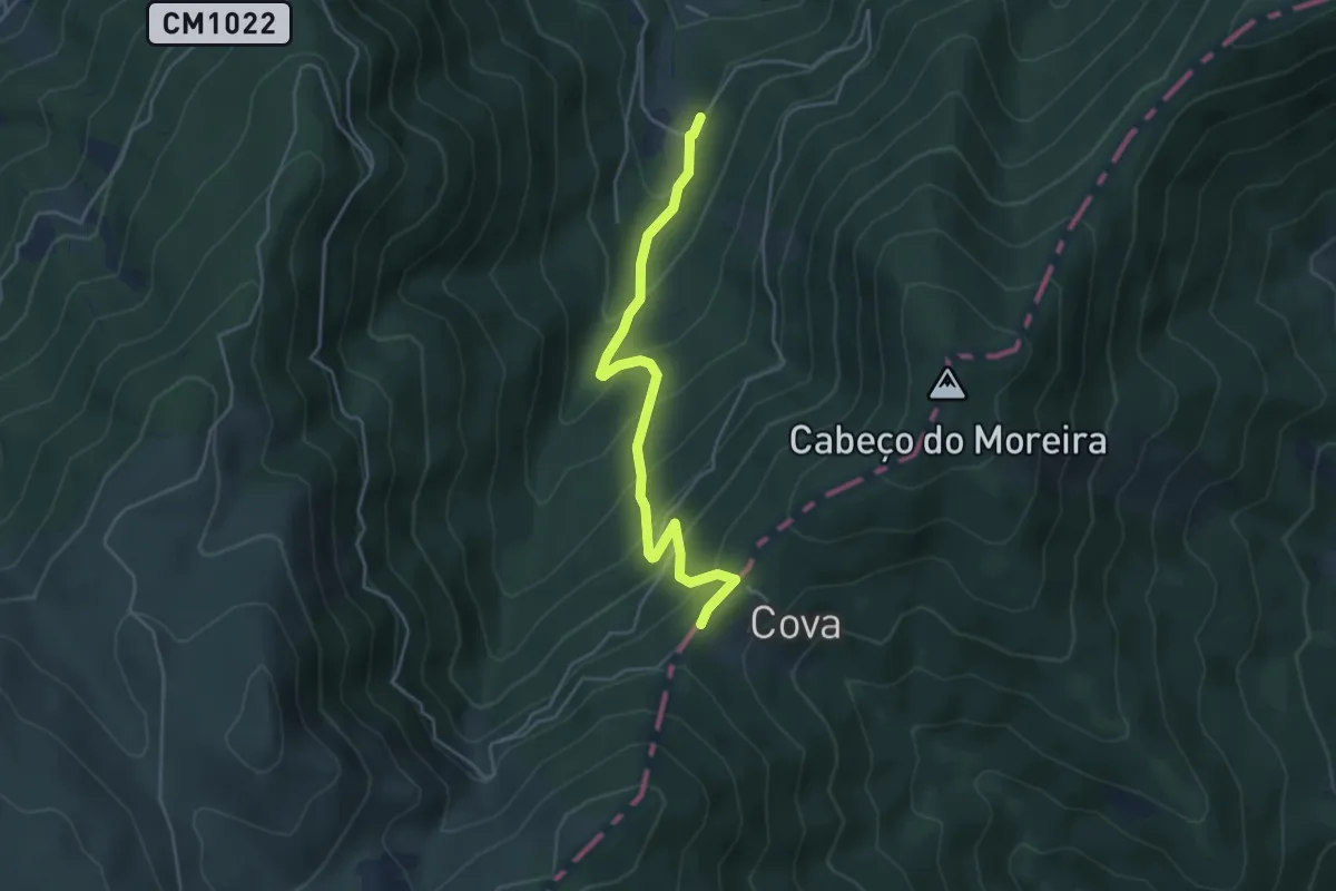
Rota das Canadas
2.9 km · ↑ 0 m · 55 min · 12 km away
Medium · Trail
Rota da Reboleira - Derivação
4.9 km · ↑ 392 m · 2 h · 12 km away
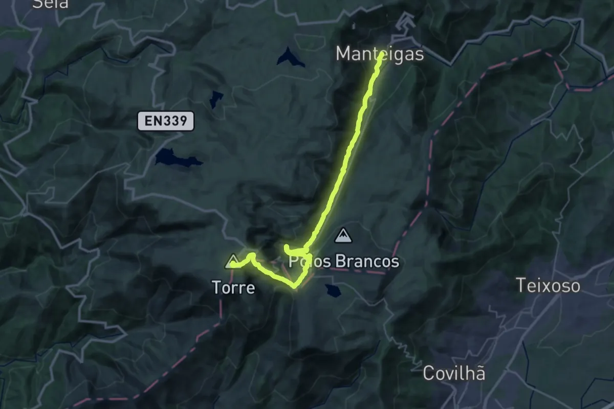
Demanding · Summit
Rota do Glaciar
33.8 km · ↑ 1431 m · 11 h 5 min · 14 km away
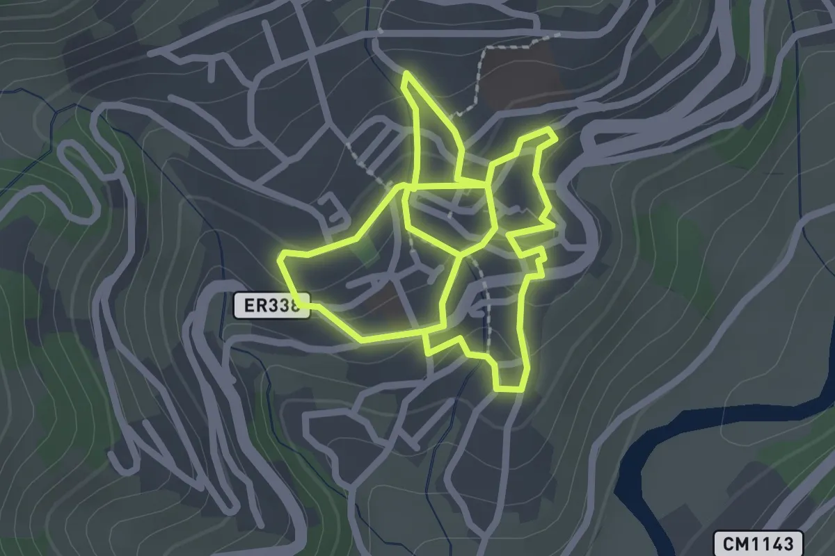
Easy · Trail
Rota da Vila
2.3 km · ↑ 89 m · 46 min · 14 km away
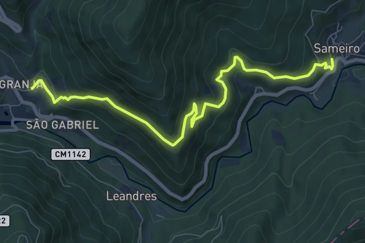
Medium · Trail
Rota do Sol
9.0 km · ↑ 494 m · 3 h 11 min · 14 km away
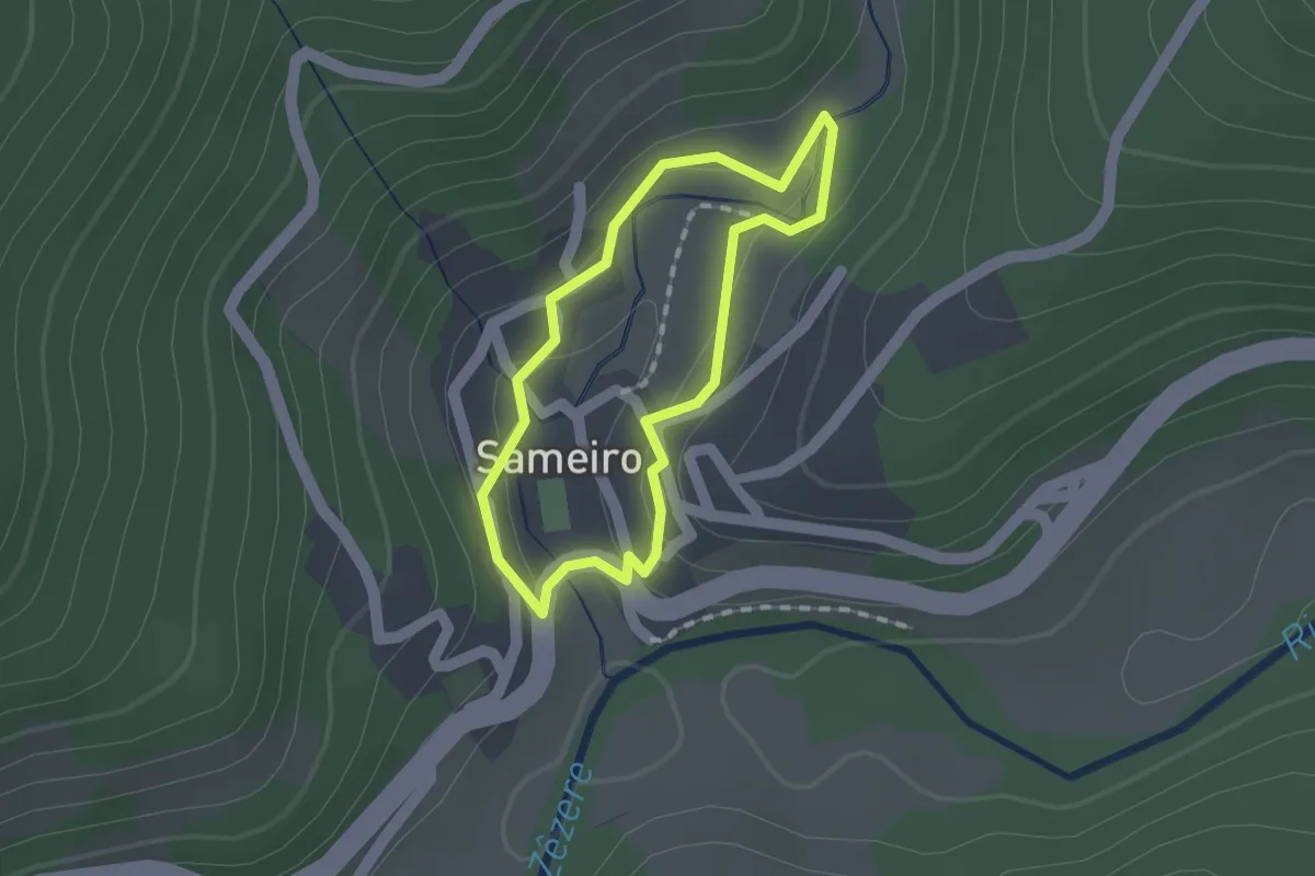
Easy · Trail
Rota do Sameiro
1.3 km · ↑ 41 m · 25 min · 14 km away
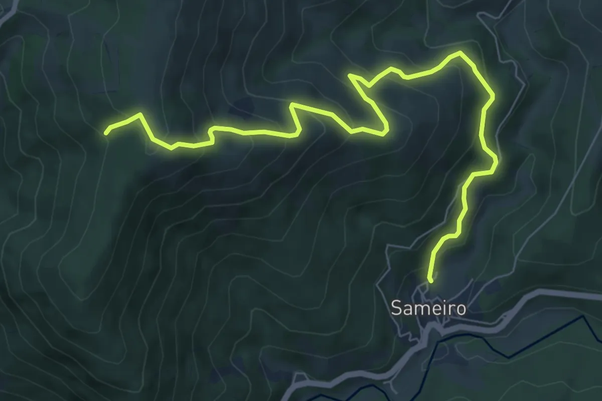
Demanding · Summit
Rota do Pastoreio
14.4 km · ↑ 1329 m · 6 h 17 min · 14 km away
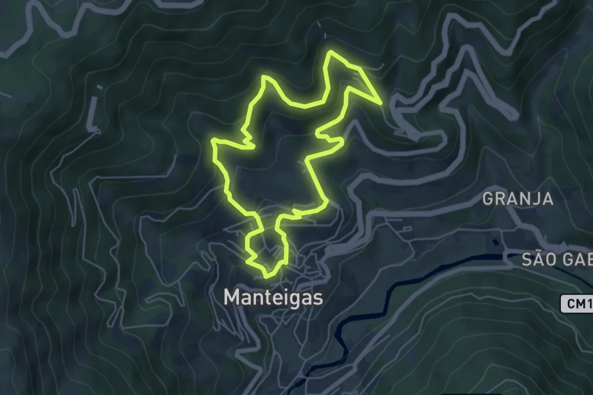
Medium · Trail
Rota do Sameiro - Derivação
9.3 km · ↑ 685 m · 3 h 41 min · 14 km away
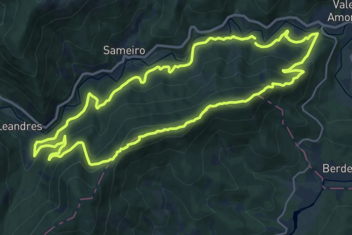
Medium · Trail
Rota das Quartelas
5.3 km · ↑ 321 m · 2 h 1 min · 15 km away
Demanding · Summit
Rota da Reboleira
15.5 km · ↑ 871 m · 5 h 46 min · 15 km away
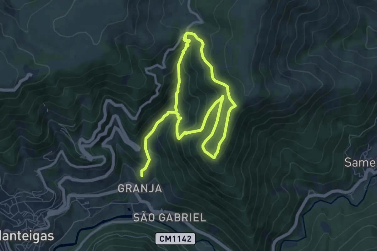
Easy · Trail
Rota das Faias
6.4 km · ↑ 304 m · 2 h 19 min · 15 km away