Trails near Ermesinde
25 hikes starting within 15 km, nearest first.
Nearest first
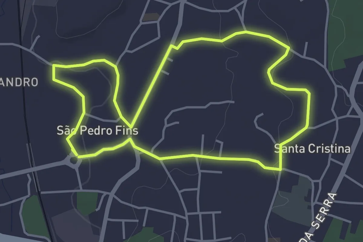
Easy · Trail
Rota Produtos da Terra
4.1 km · ↑ 69 m · 1 h 10 min · 3 km away
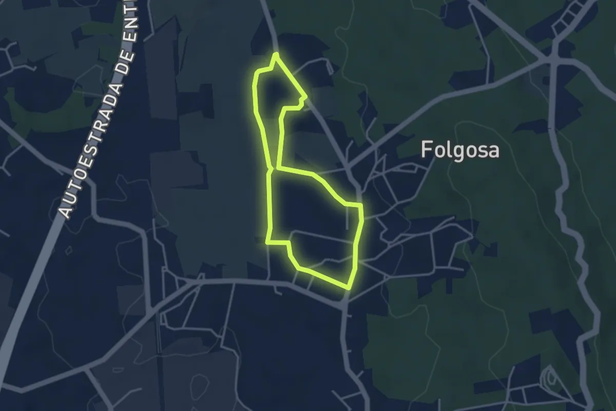
Easy · Trail
Caminhos rurais de Folgosa
3.1 km · ↑ 30 m · 51 min · 6 km away
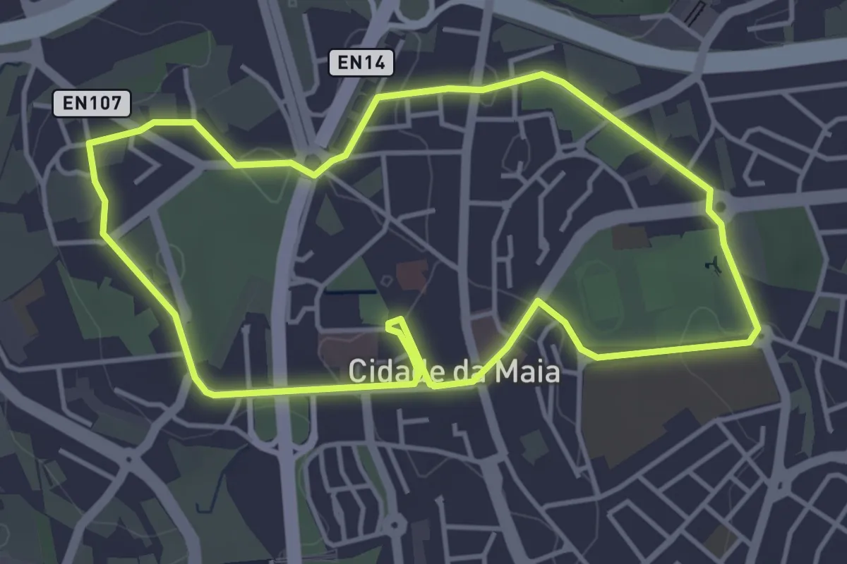
Easy · Trail
Percurso pedonal Urbano da Maia 1
4.4 km · ↑ 73 m · 1 h 15 min · 6 km away
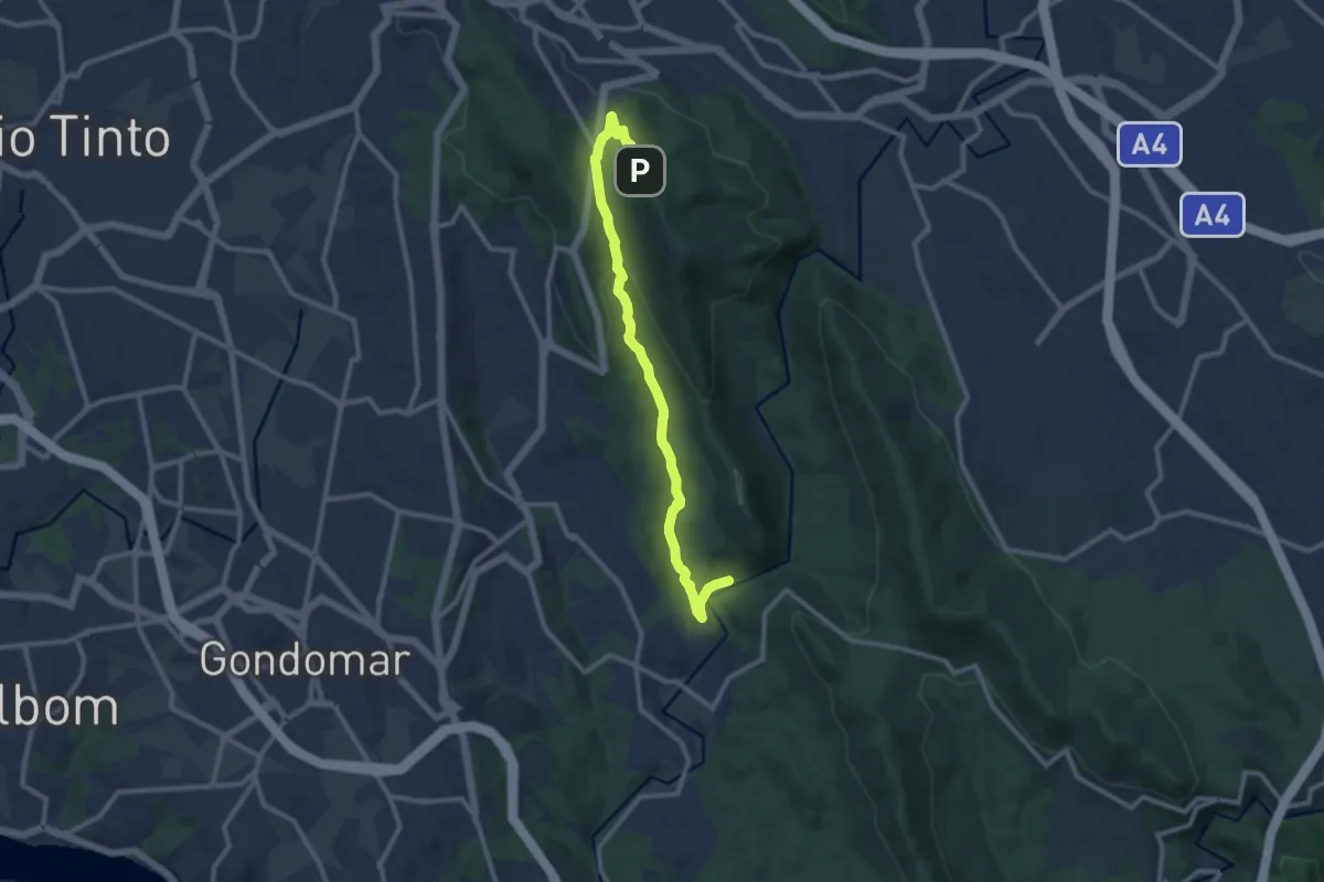
Medium · Trail
Trilho de Silveirinhos
11.9 km · ↑ 404 m · 3 h 41 min · 6 km away
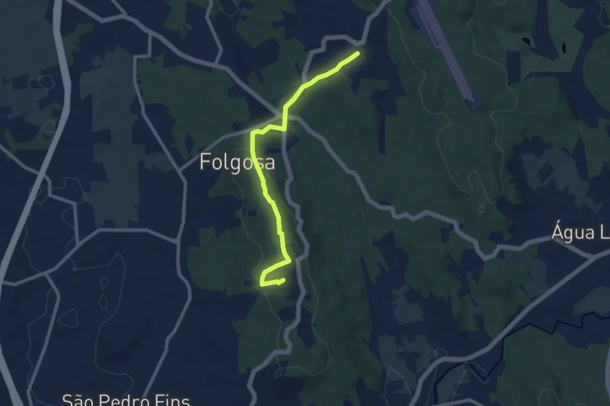
Easy · Summit
Lugares no Alto Folgosa e São Pedro Fins
6.8 km · ↑ 201 m · 2 h 3 min · 7 km away
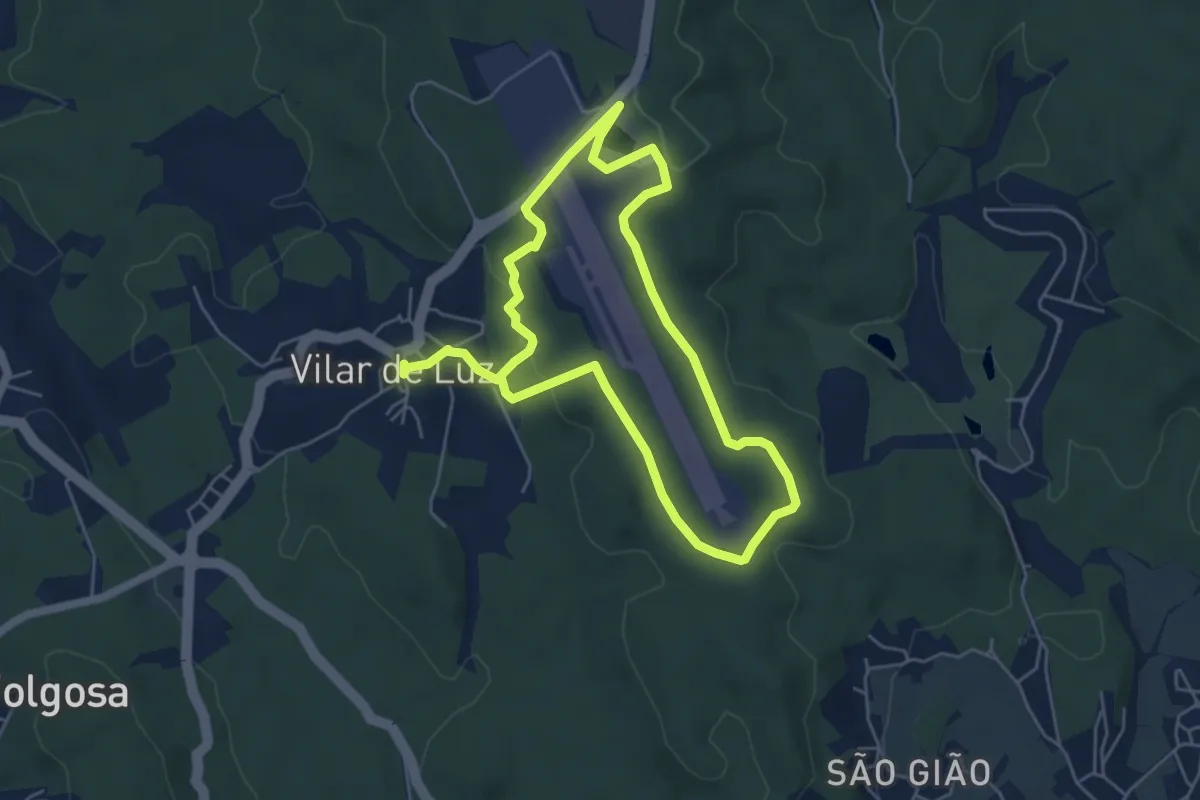
Easy · Trail
Vilar de Luz
5.2 km · ↑ 117 m · 1 h 34 min · 7 km away
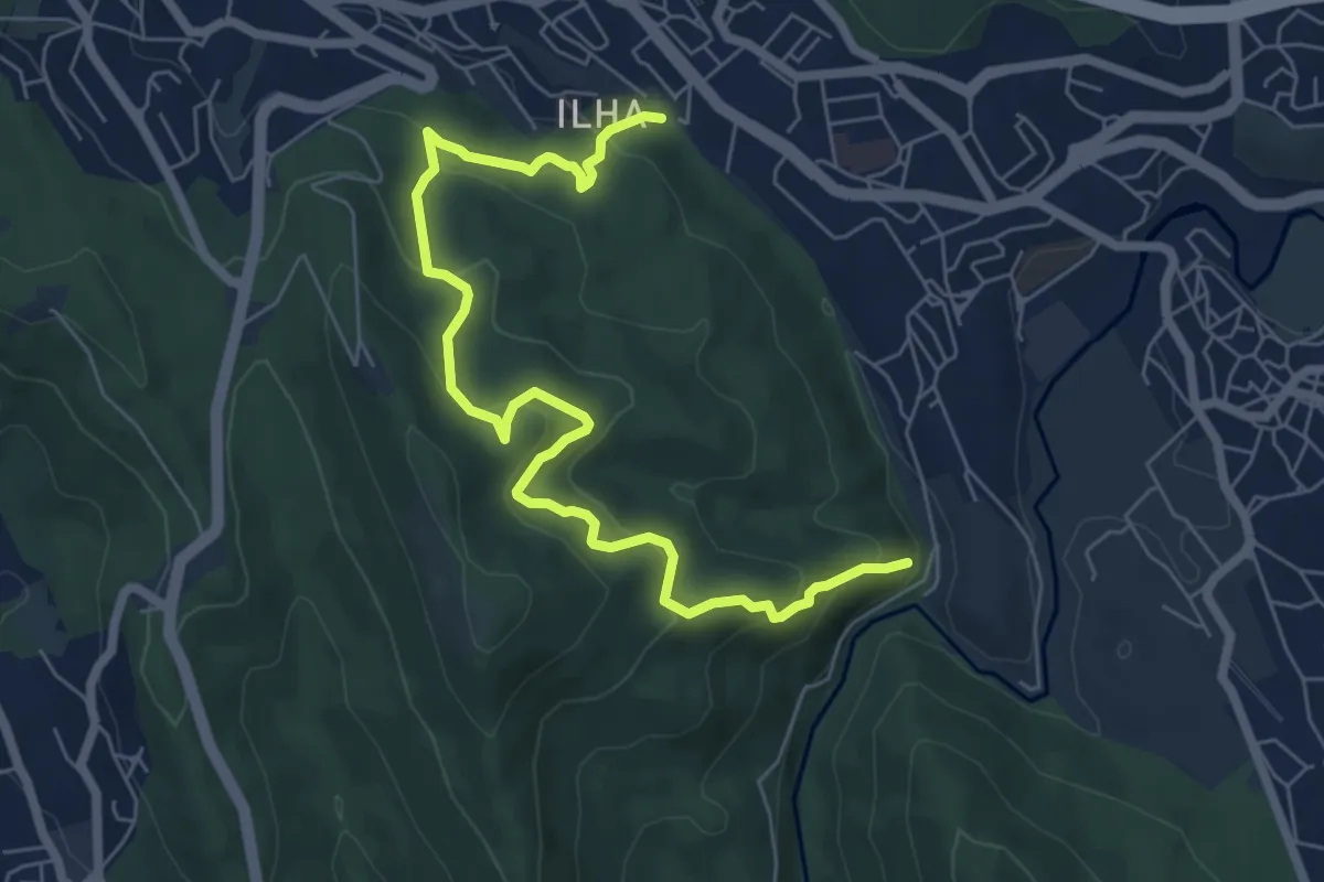
Medium · Trail
Trilho dos Romanos
8.3 km · ↑ 530 m · 3 h 6 min · 8 km away
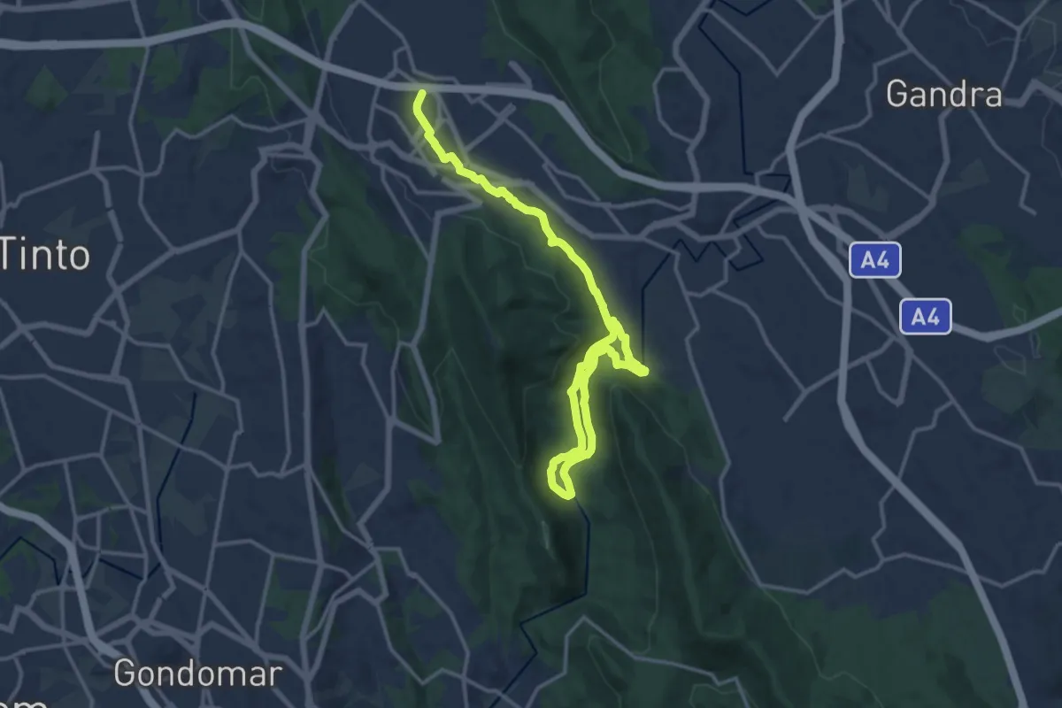
Demanding · Trail
Corredor Ecológico
19.1 km · ↑ 465 m · 5 h 31 min · 8 km away
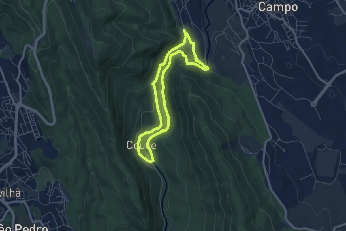
Easy · Trail
Trilho do Castelo
5.8 km · ↑ 202 m · 1 h 52 min · 8 km away
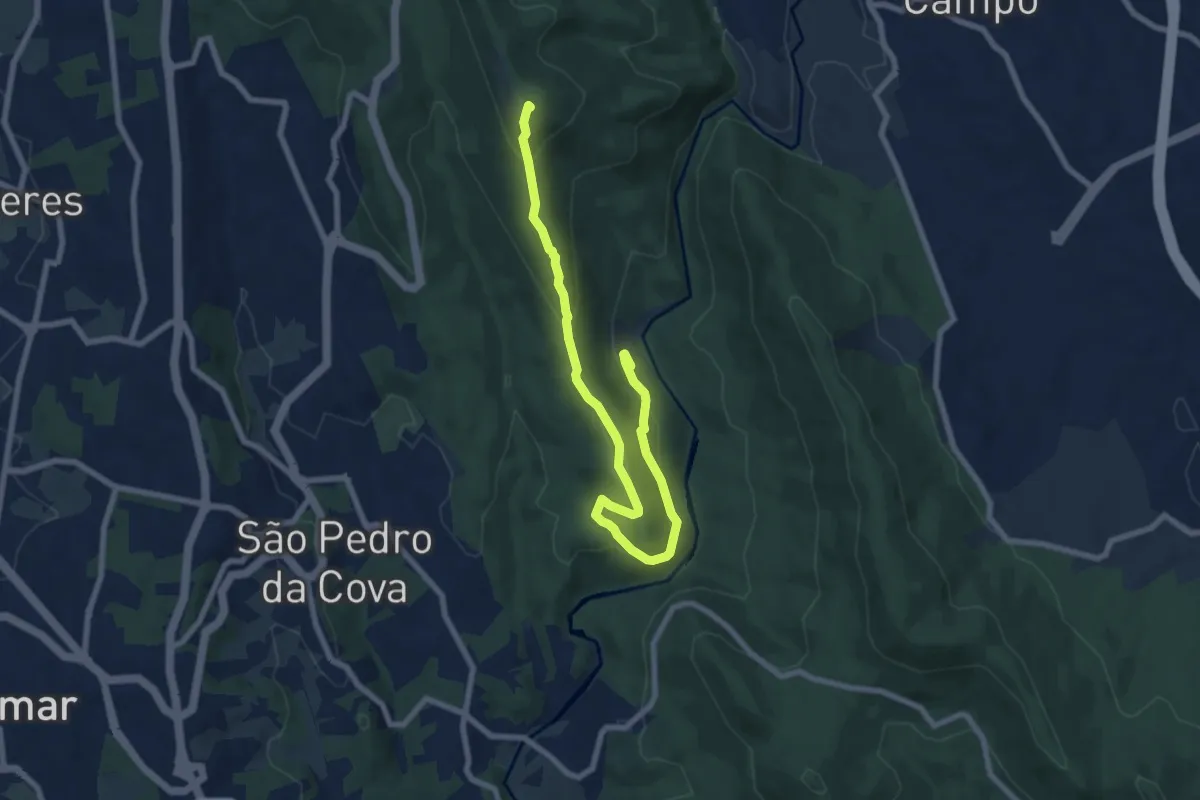
Medium · Summit
Porto à Vista
9.7 km · ↑ 483 m · 3 h 21 min · 9 km away
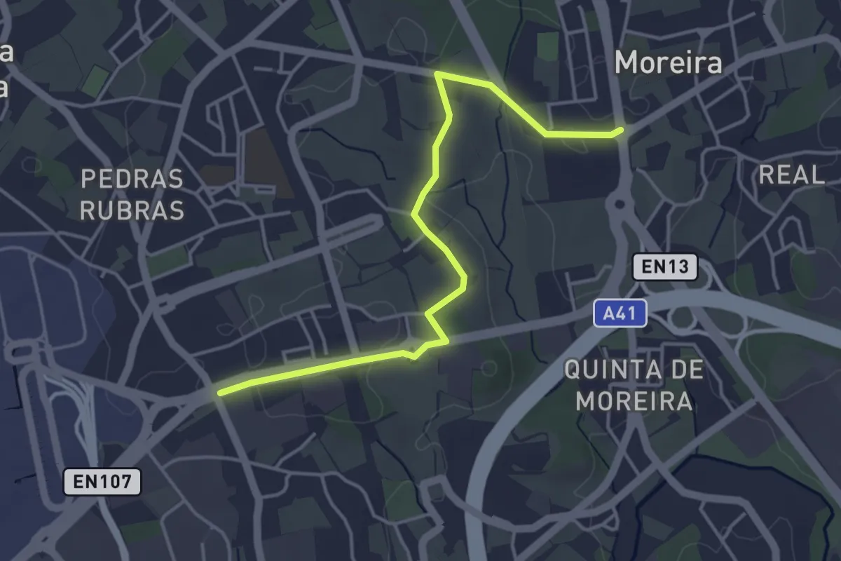
Easy · Trail
Ligaçao entre caminhos de santiago na Maia 1
4.7 km · ↑ 45 m · 1 h 12 min · 9 km away
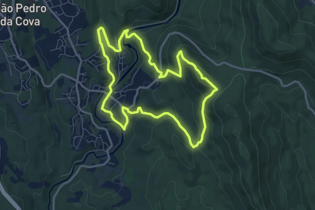
Easy · Trail
PR3 GDM - Trilho de Belói
7.4 km · ↑ 261 m · 2 h 25 min · 10 km away
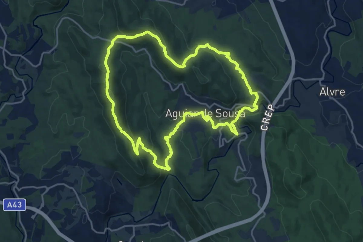
Medium · Summit
Vale de Aguiar
13.0 km · ↑ 519 m · 4 h 23 min · 11 km away
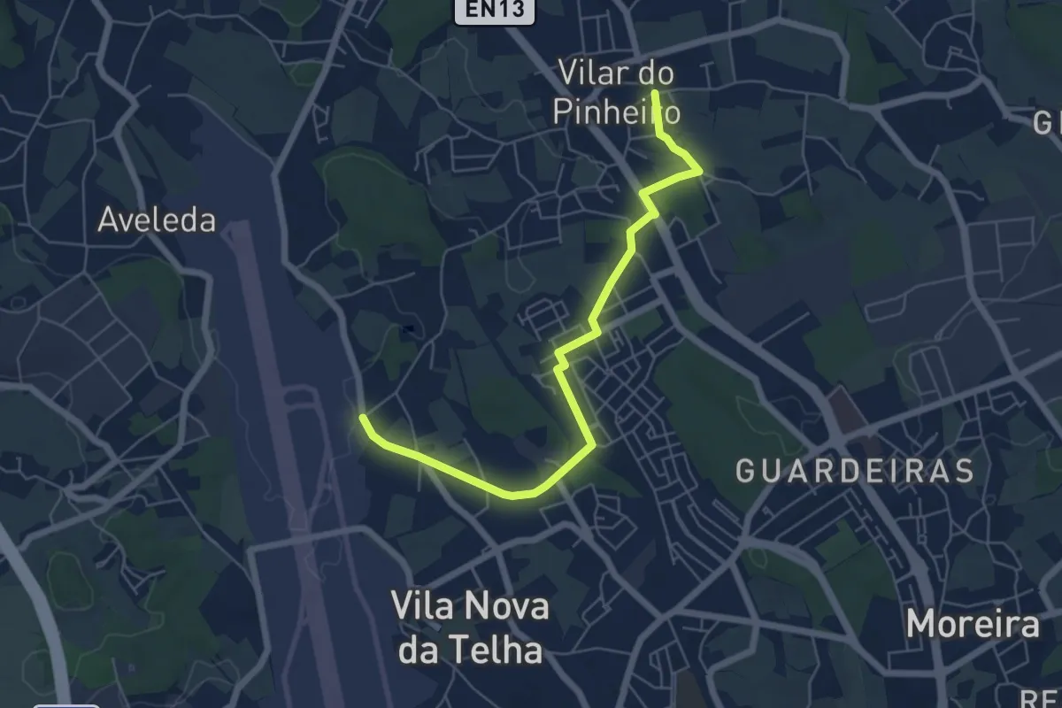
Easy · Trail
Ligação entre rotas de caminhos de Santiago da costa e central
6.5 km · ↑ 44 m · 1 h 38 min · 11 km away
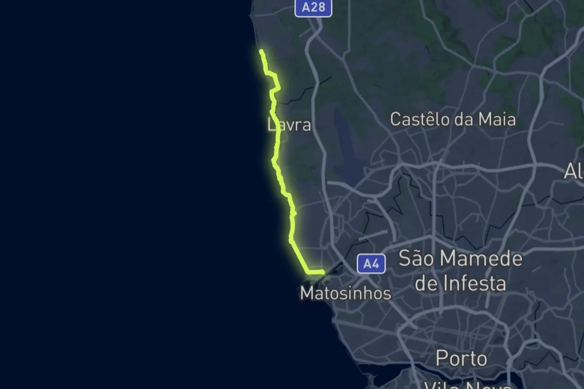
Demanding · Trail
Camino Portuguese (Matosinhos - Vila Chã)
29.0 km · ↑ 84 m · 7 h 2 min · 12 km away
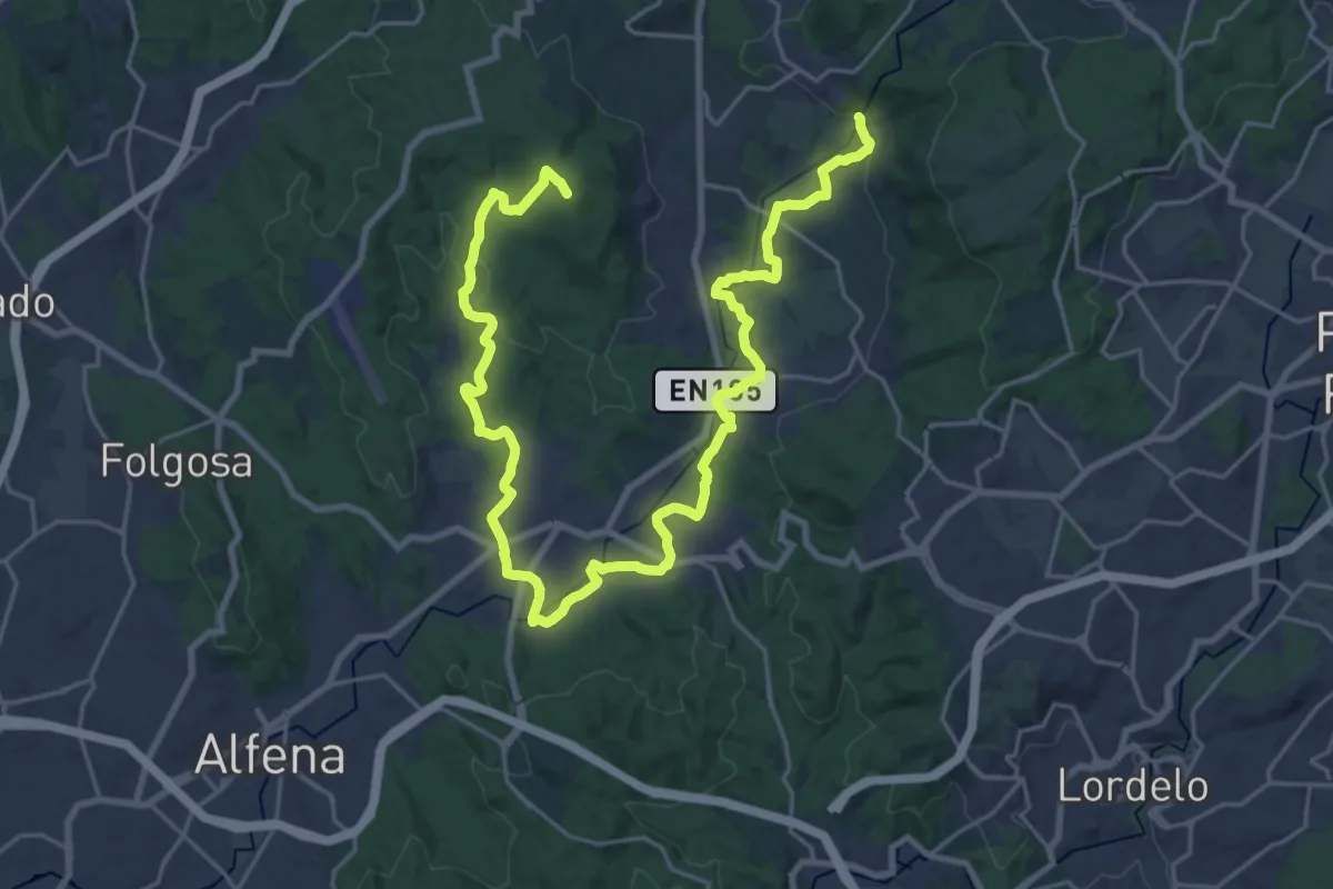
Demanding · Summit
PR 6 STS - Vale do Leça - Linear
34.7 km · ↑ 505 m · 9 h 17 min · 13 km away
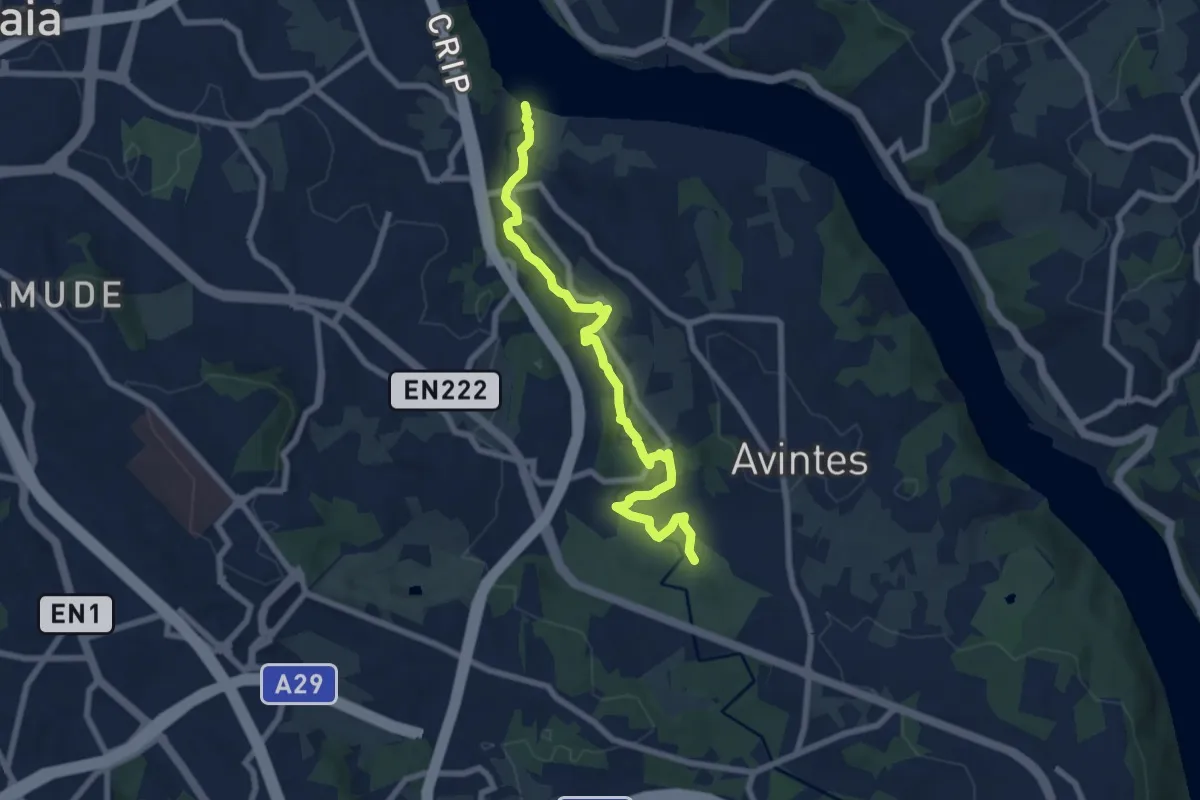
Medium · Trail
PR1 VNG Trilho do Rio Febros
8.5 km · ↑ 125 m · 2 h 17 min · 13 km away
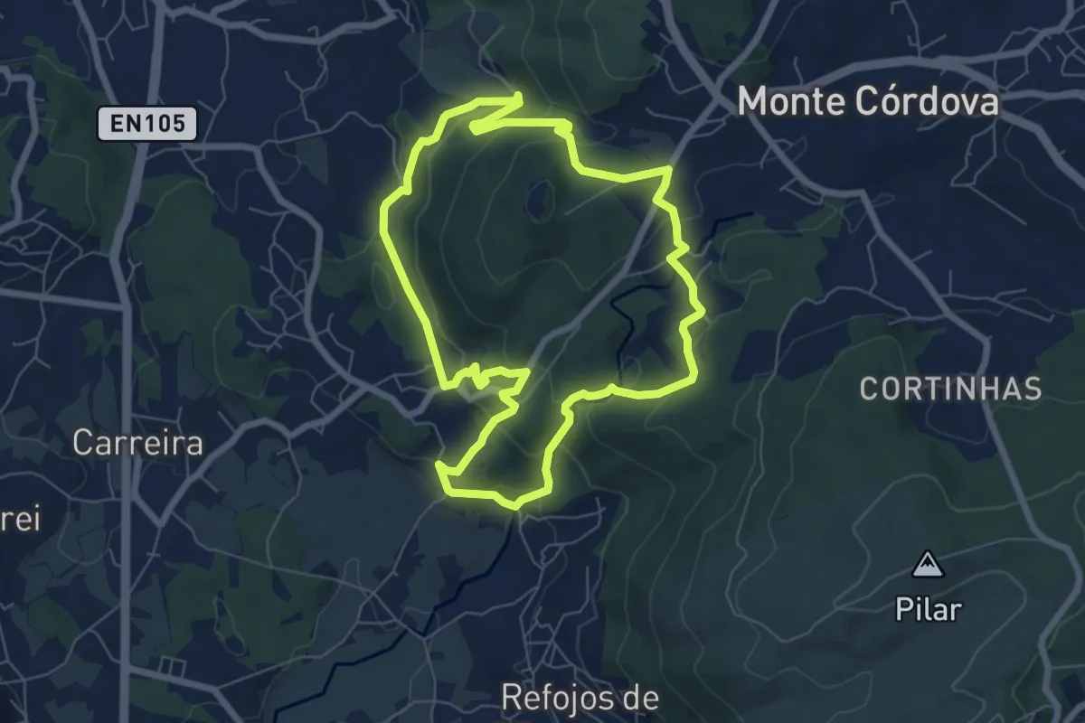
Easy · Trail
Histórico Pré-Industrial
7.1 km · ↑ 302 m · 2 h 25 min · 13 km away
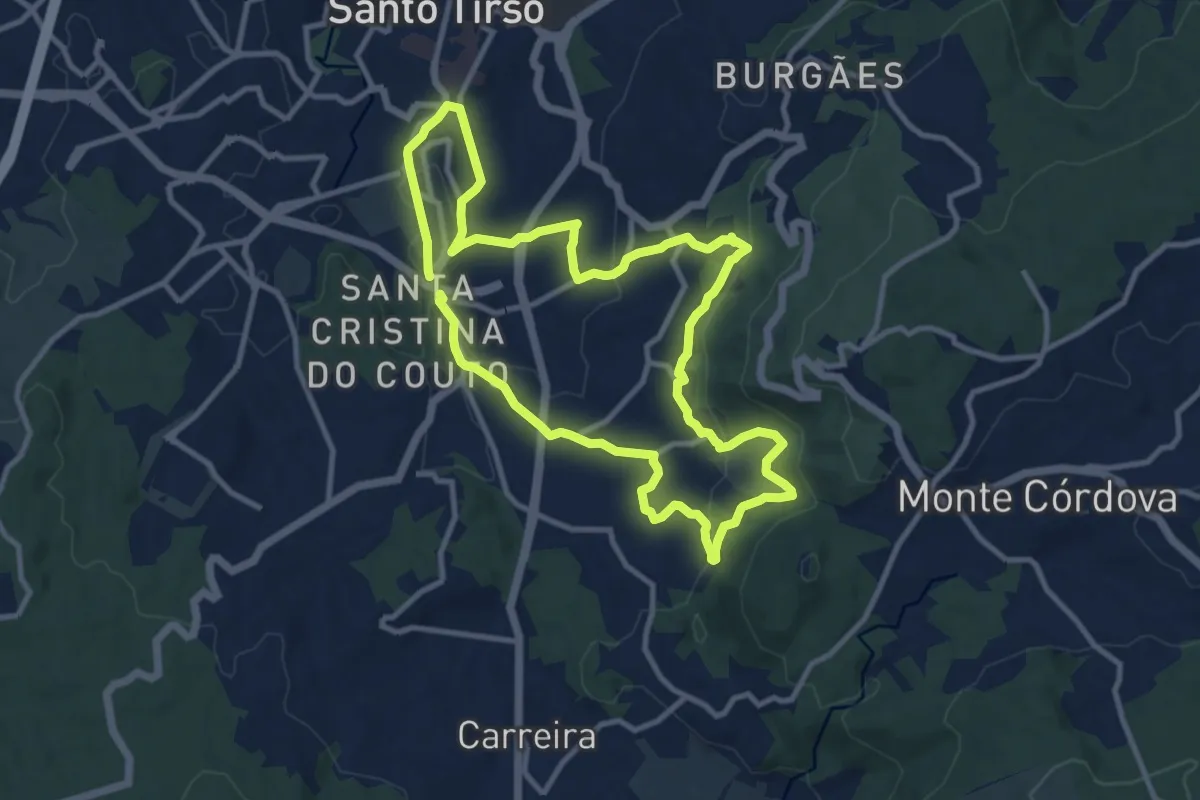
Medium · Trail
PR2 STS Padrão
11.0 km · ↑ 353 m · 3 h 30 min · 14 km away
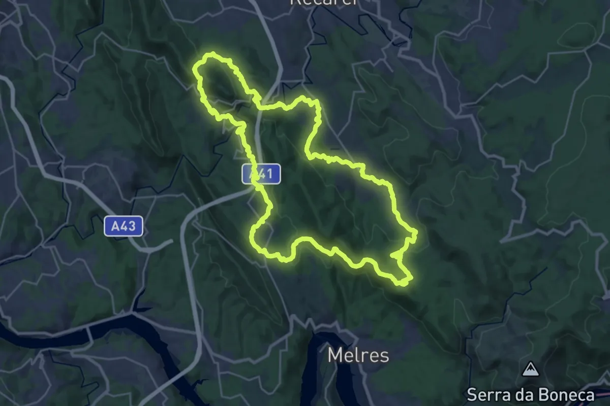
Demanding · Trail
Trilho das Aldeias
27.1 km · ↑ 947 m · 8 h 49 min · 14 km away
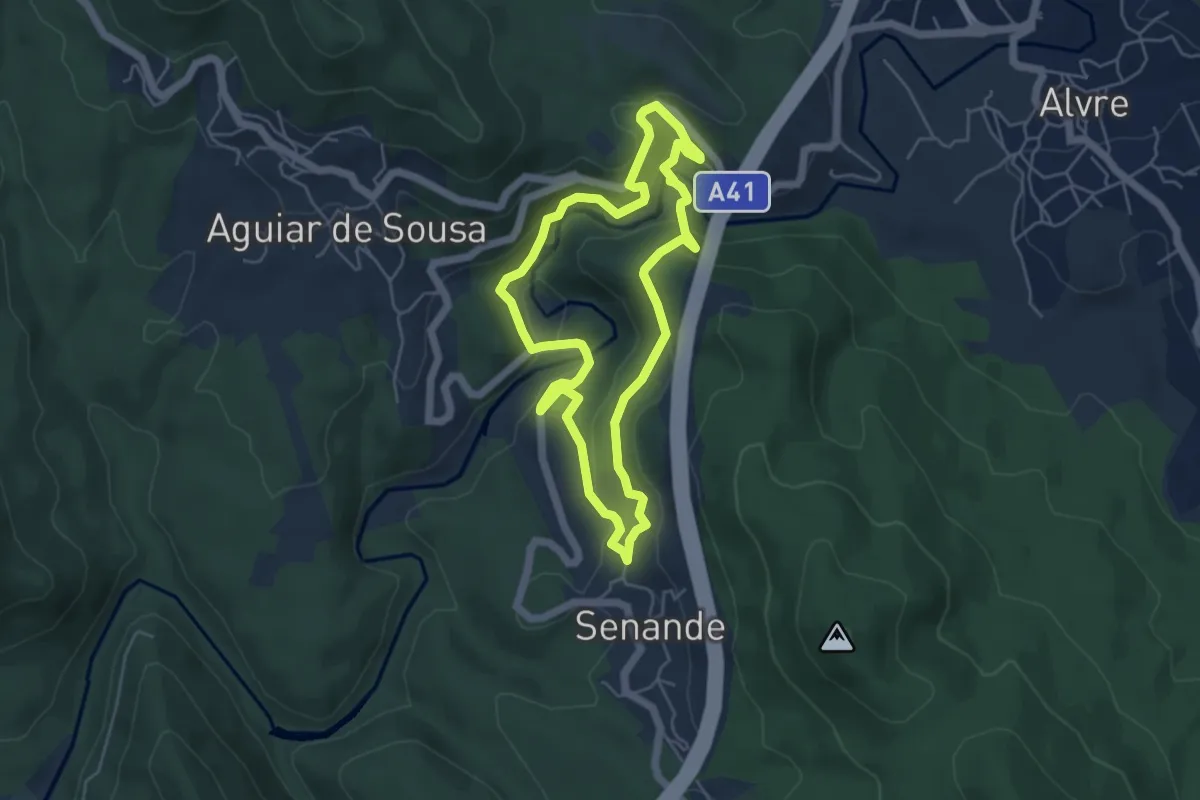
Easy · Trail
Trilho dos Moinhos
5.1 km · ↑ 226 m · 1 h 47 min · 14 km away
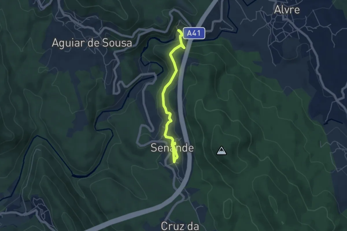
Easy · Trail
Trilho da Peregrinação
2.6 km · ↑ 119 m · 53 min · 14 km away
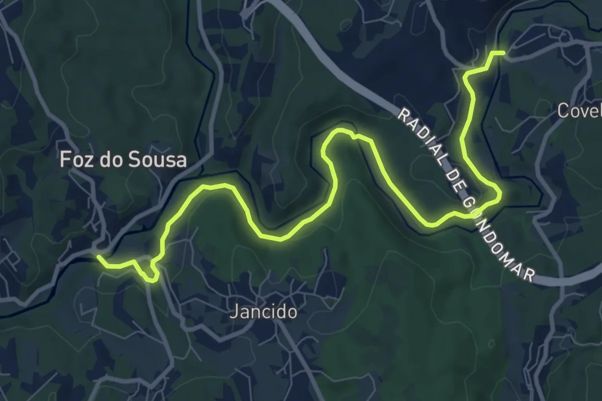
Medium · Trail
PR1 GDM – Linha de Midões e os Moinhos de Jancido
10.5 km · ↑ 156 m · 2 h 49 min · 14 km away
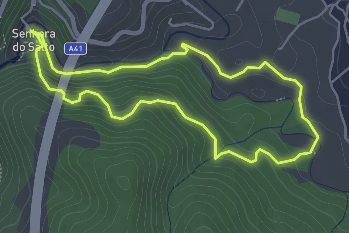
Easy · Trail
Trilho de Alvre
3.4 km · ↑ 143 m · 1 h 10 min · 14 km away
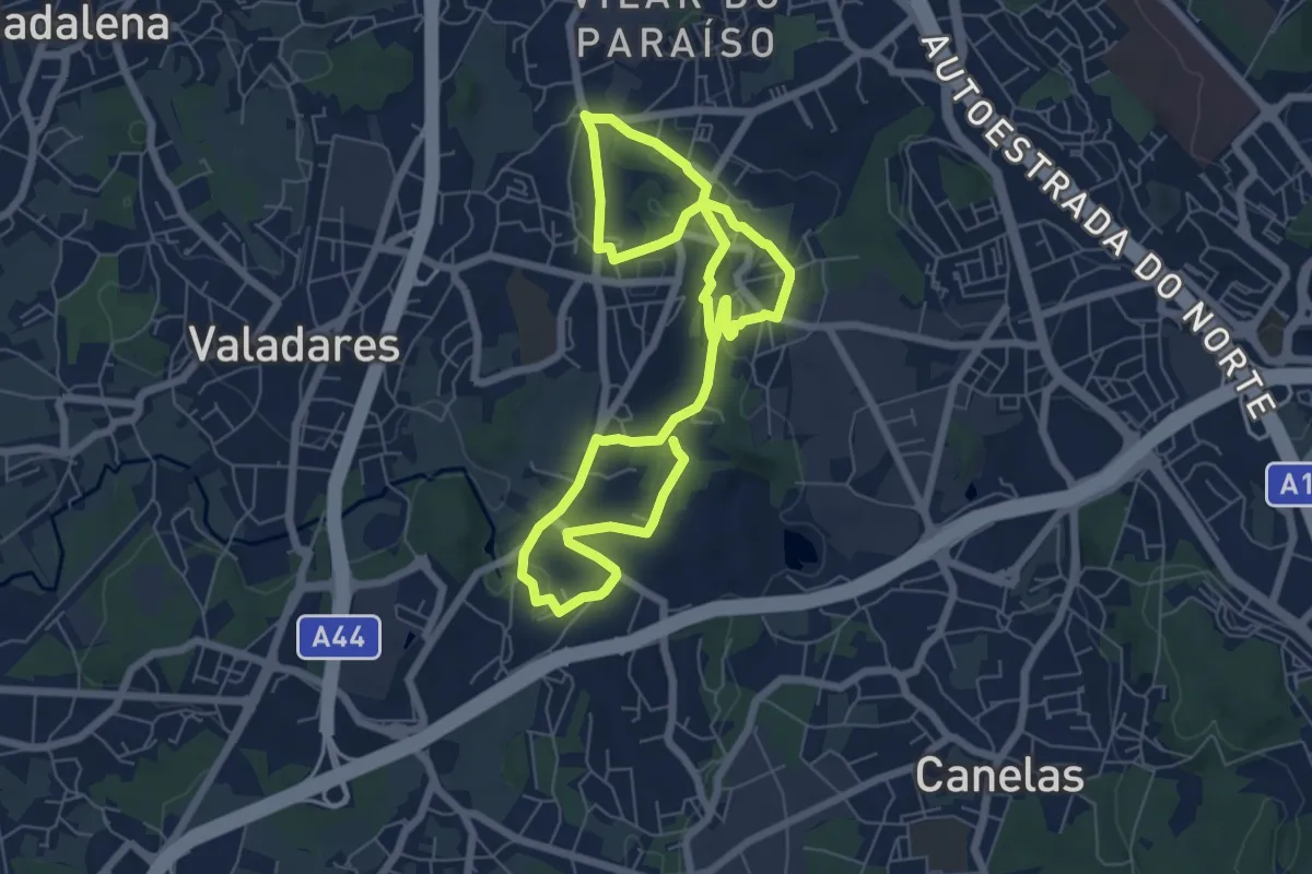
Easy · Trail
Percurso pedestre de Vilar do Paraíso
6.2 km · ↑ 102 m · 1 h 45 min · 15 km away