Trails near Forjães
23 hikes starting within 15 km, nearest first.
Nearest first
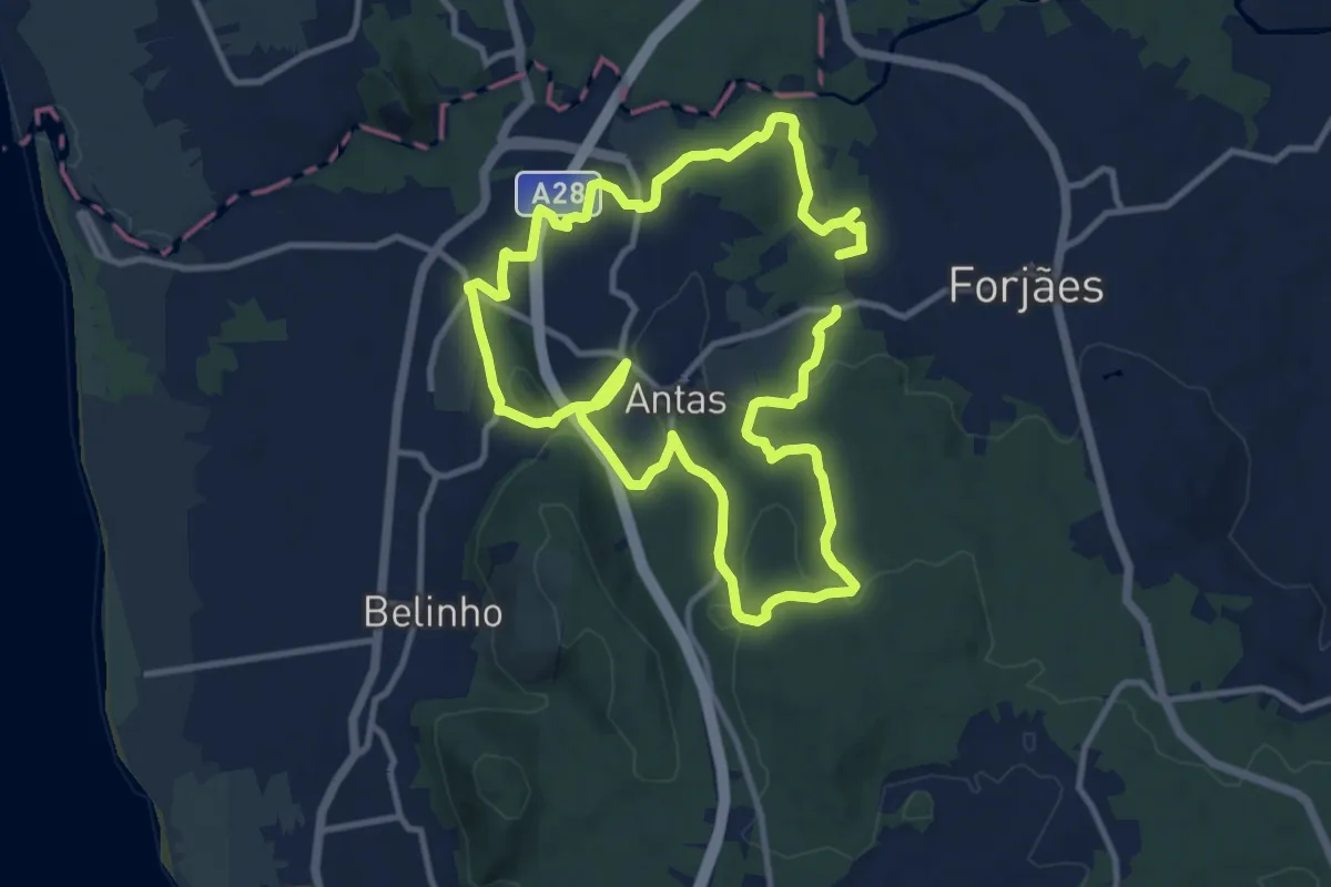
Demanding · Trail
Trilho das Cangostas
22.8 km · ↑ 545 m · 6 h 33 min · 1 km away
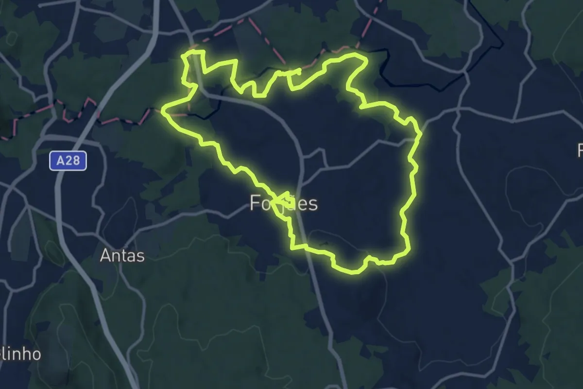
Medium · Trail
Margens do Neiva
13.5 km · ↑ 234 m · 3 h 53 min · 2 km away
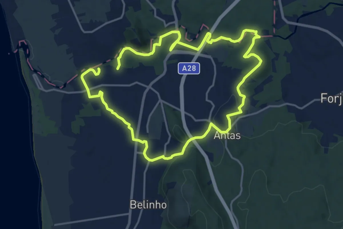
Demanding · Trail
Casa Azenha Branca Trilho das Azenhas das Antas
22.2 km · ↑ 338 m · 5 h 58 min · 4 km away
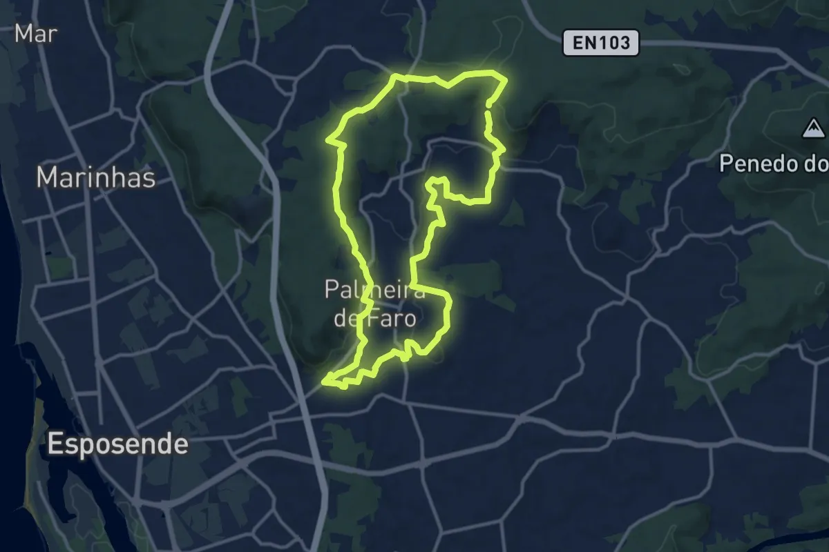
Medium · Trail
Entre Vales e Quintas
12.9 km · ↑ 294 m · 3 h 51 min · 5 km away
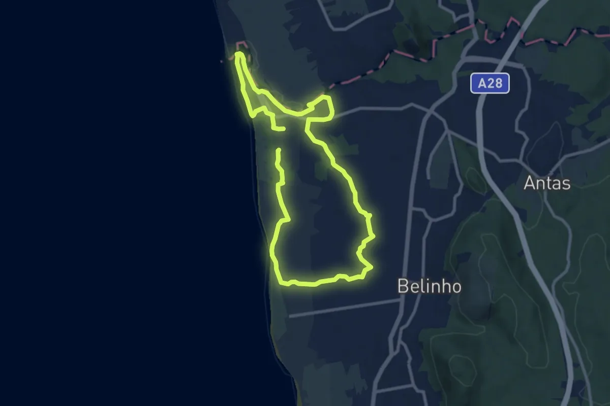
Medium · Trail
Entre o Neiva e o Atlântico
16.9 km · ↑ 60 m · 4 h 7 min · 5 km away
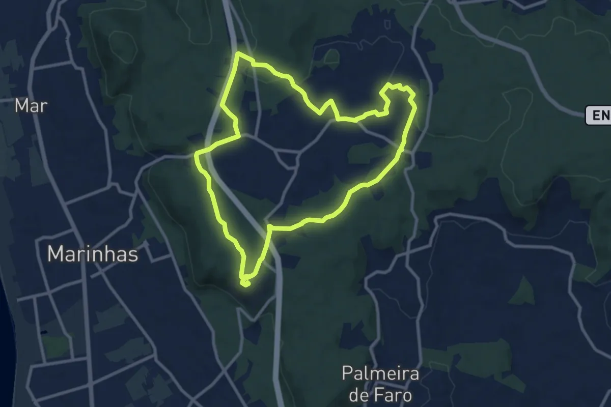
Medium · Trail
Castro de S. Lourenço
9.5 km · ↑ 130 m · 2 h 39 min · 6 km away
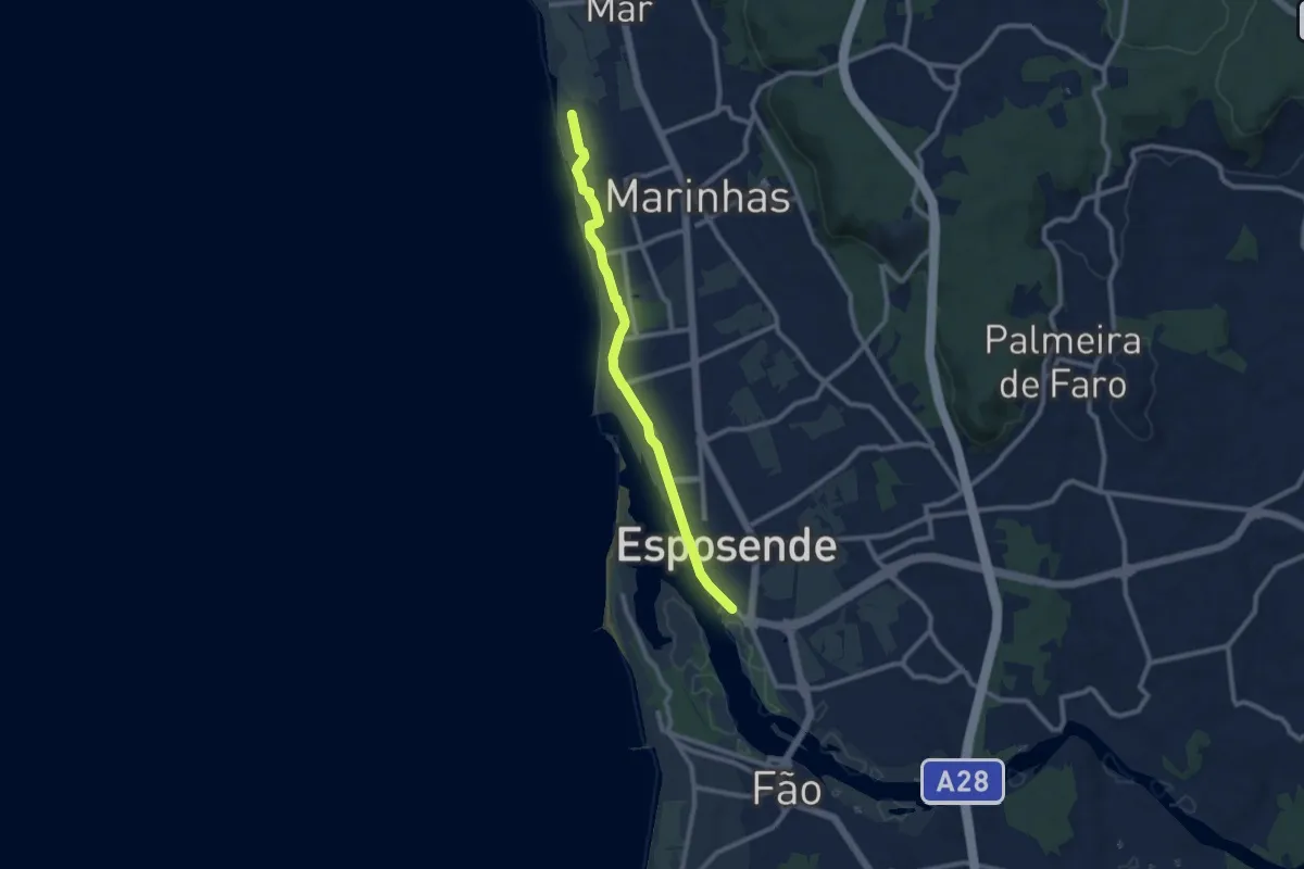
Medium · Trail
Ecovia do Litoral Norte
9.8 km · ↑ 9 m · 2 h 20 min · 6 km away
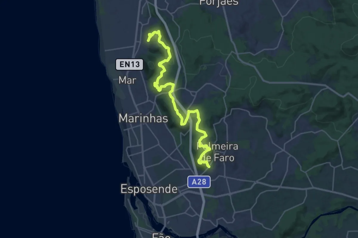
Demanding · Trail
Pela Arriba Fóssil
25.2 km · ↑ 737 m · 7 h 33 min · 7 km away
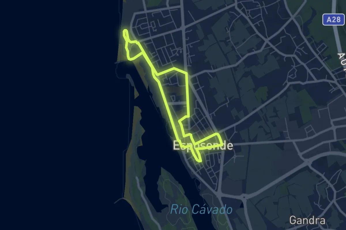
Easy · Trail
Caminho dos Mareantes
5.9 km · ↑ 8 m · 1 h 29 min · 8 km away
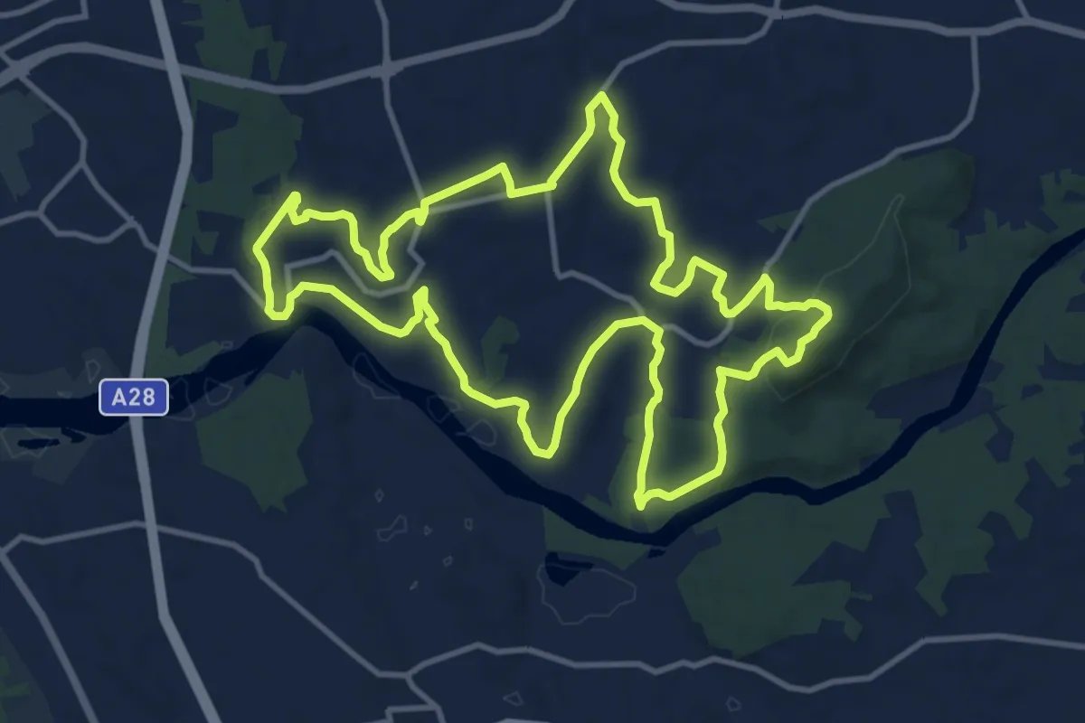
Medium · Summit
Gemeses: Terra de Passagem
13.6 km · ↑ 254 m · 3 h 56 min · 9 km away
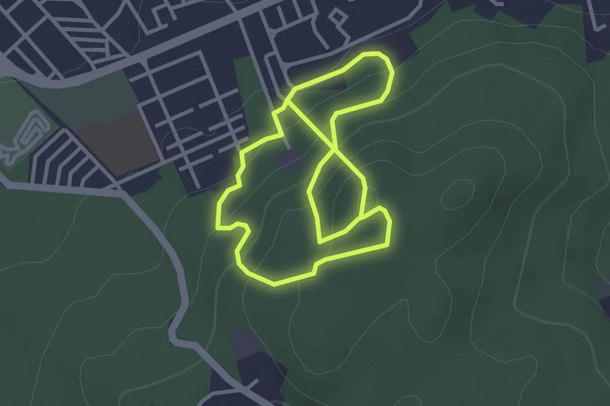
Medium · Trail
Trilho do Monte Galeão
5.4 km · ↑ 346 m · 2 h 1 min · 9 km away
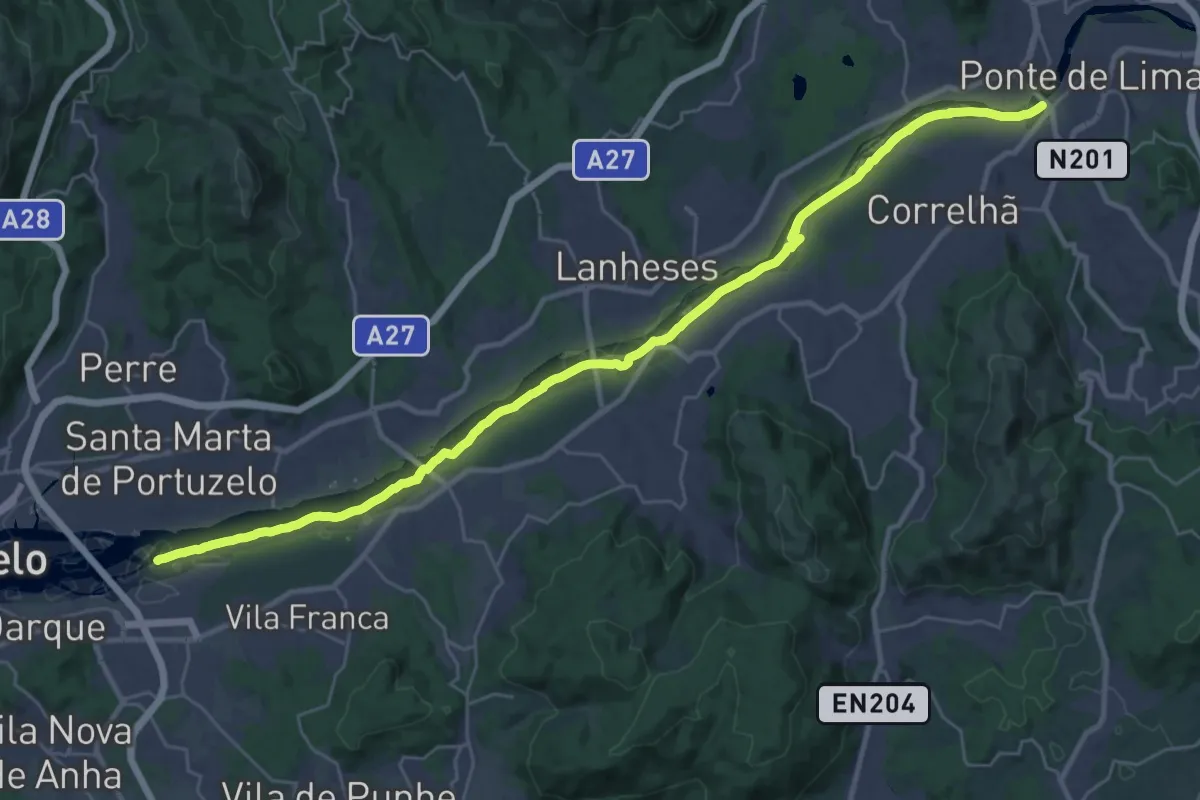
Demanding · Trail
Ecovia das Veigas
18.2 km · ↑ 22 m · 4 h 37 min · 10 km away
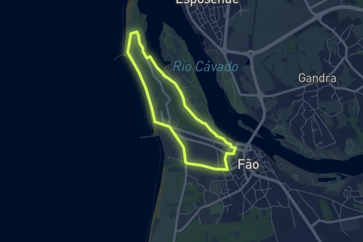
Easy · Trail
Entre o Cávado e o Atlântico
5.0 km · ↑ 23 m · 1 h 19 min · 10 km away
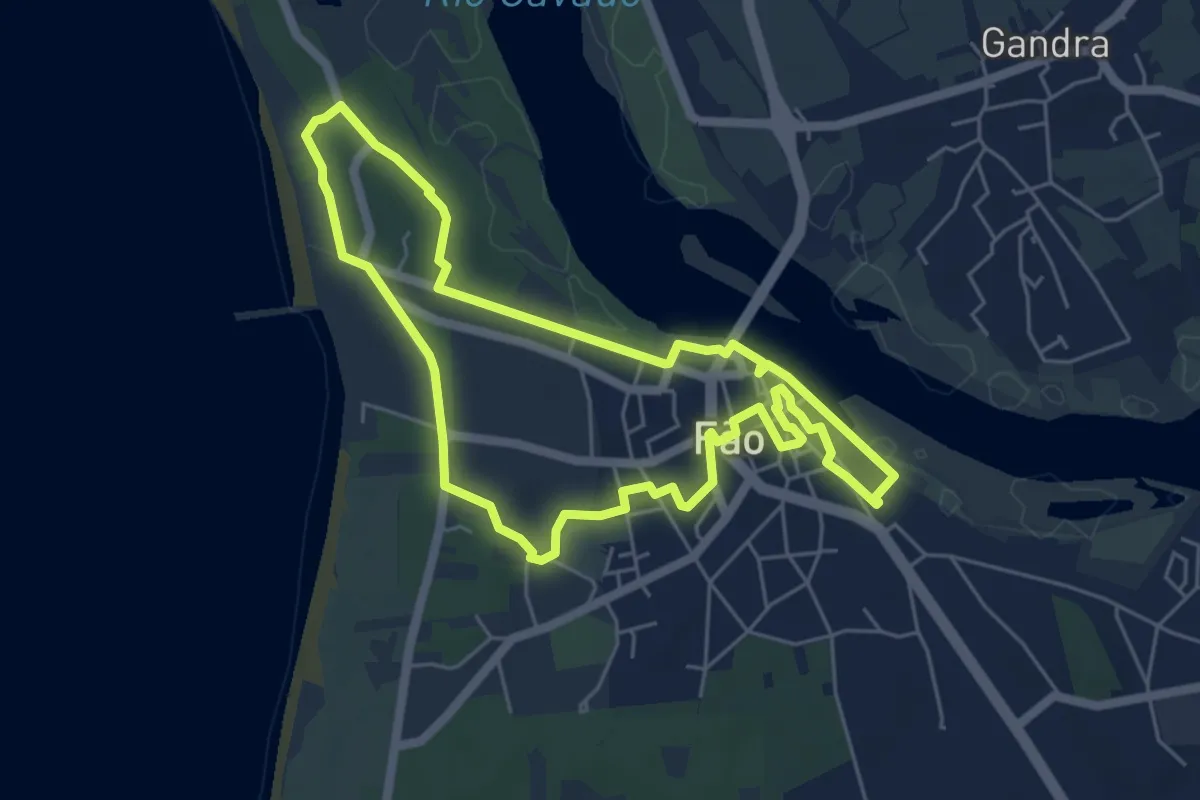
Easy · Trail
Caminho da Memória
5.9 km · ↑ 23 m · 1 h 31 min · 11 km away
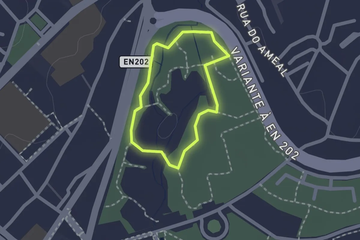
Easy · Trail
Estação da Biodiversidade do Parque Ecológico Urbano de Viana do Castelo
1.2 km · ↑ 0 m · 17 min · 12 km away
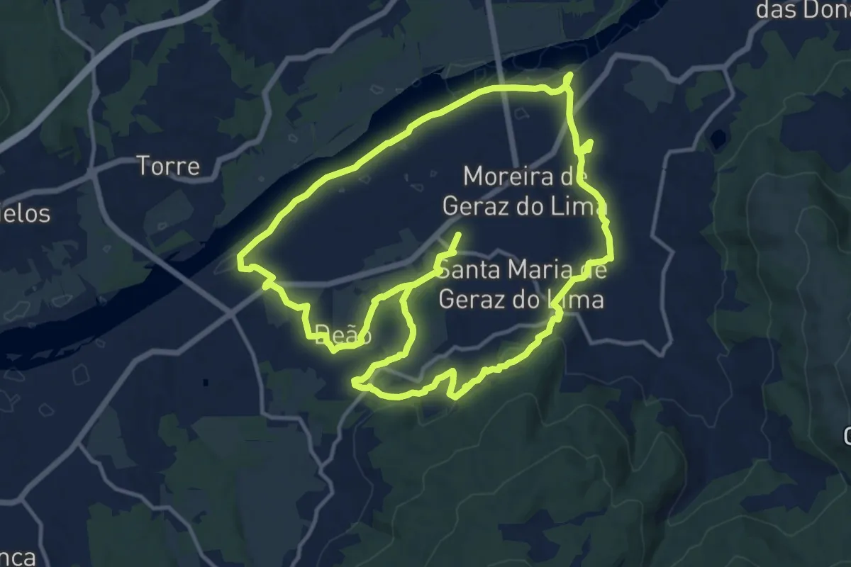
Demanding · Trail
Trilho das Terras de Geraz
28.5 km · ↑ 306 m · 7 h 23 min · 13 km away
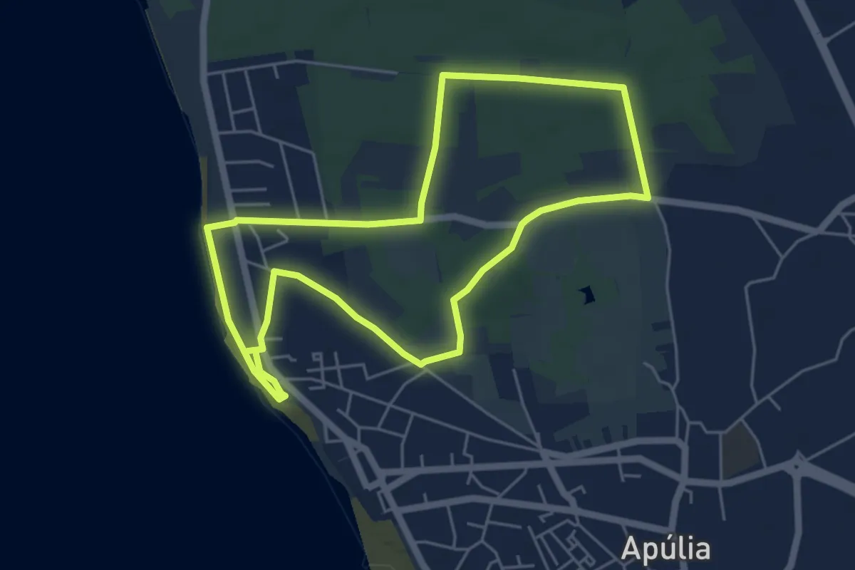
Easy · Trail
Trilho das Masseiras
5.5 km · ↑ 13 m · 1 h 24 min · 13 km away
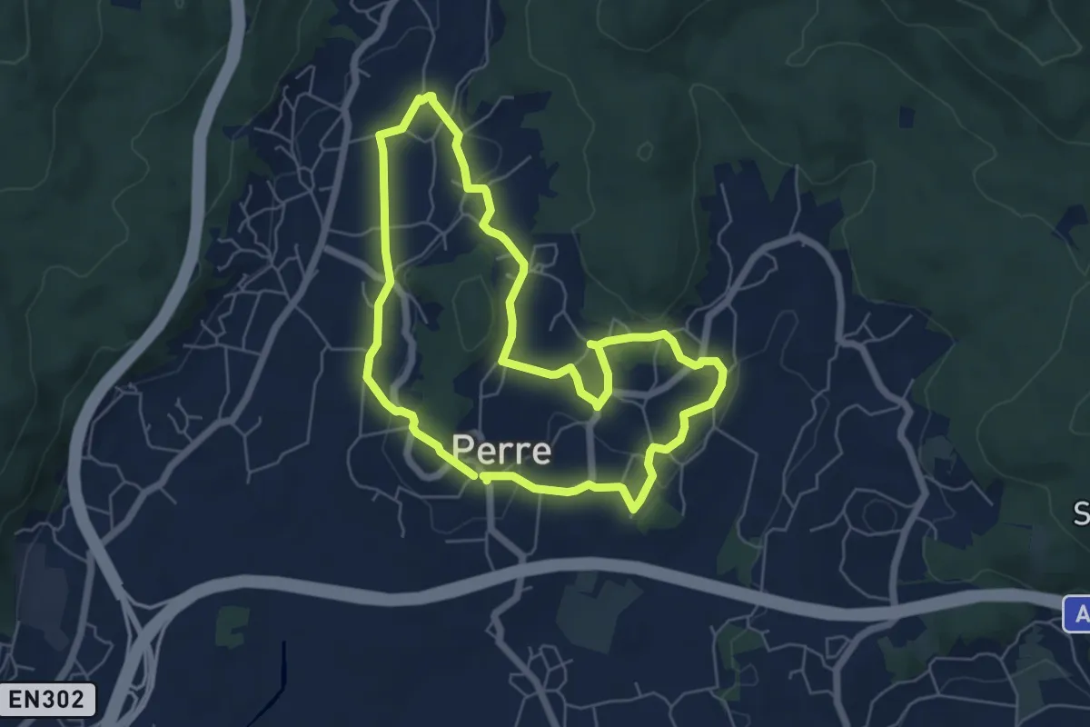
Easy · Trail
Passear Perre
6.1 km · ↑ 129 m · 1 h 48 min · 13 km away
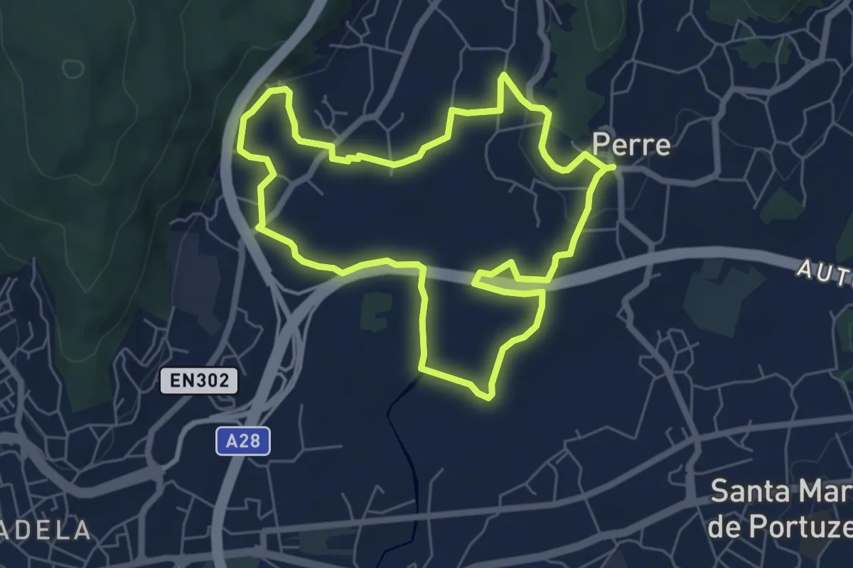
Easy · Trail
Passear Perre II
6.4 km · ↑ 93 m · 1 h 48 min · 13 km away
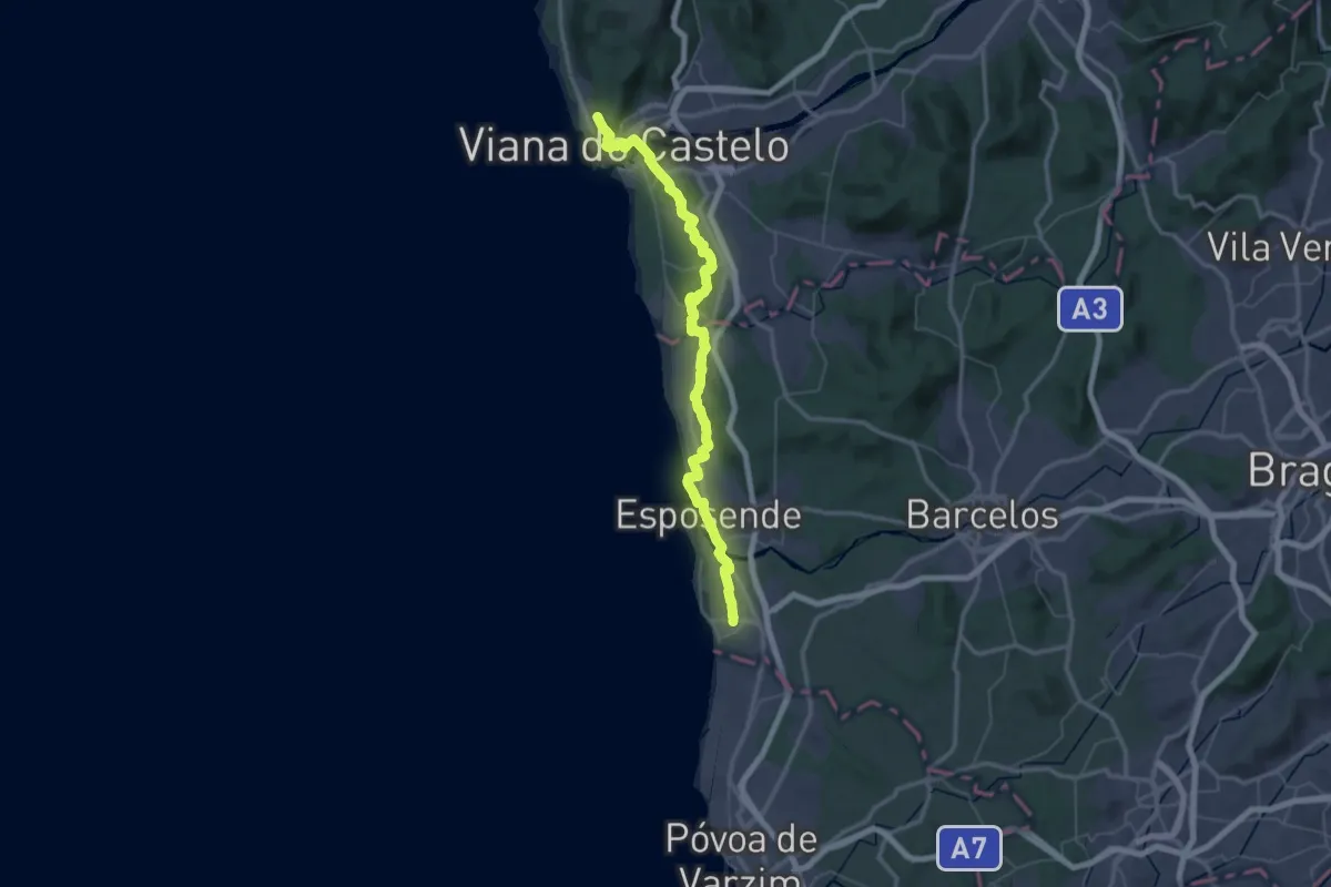
Demanding · Trail
Caminho Português (Apúlia - Viana do Castelo)
34.6 km · ↑ 384 m · 9 h 27 min · 13 km away
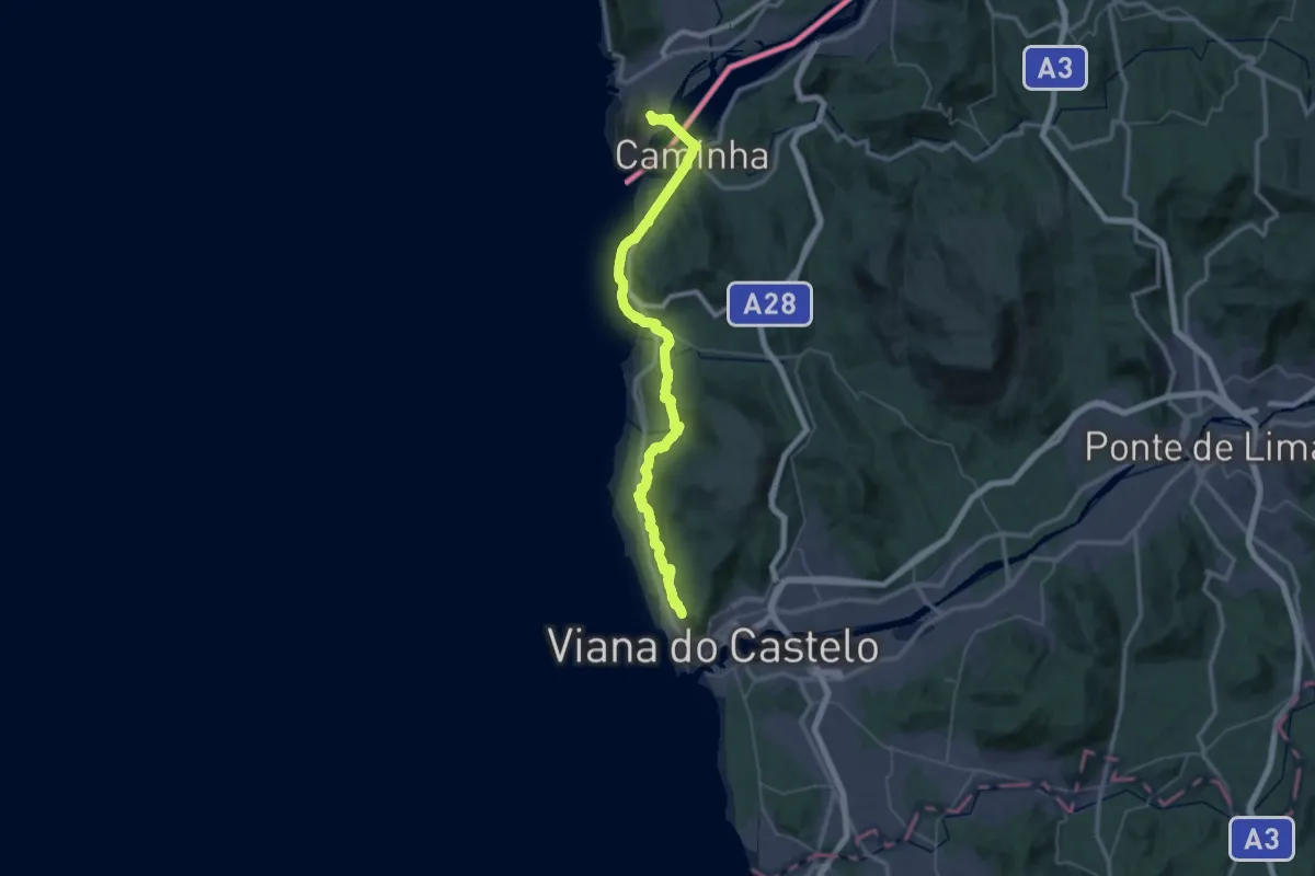
Demanding · Trail
Caminho Português da Costa (Viana do Castelo - A Guarda)
27.9 km · ↑ 375 m · 7 h 48 min · 14 km away
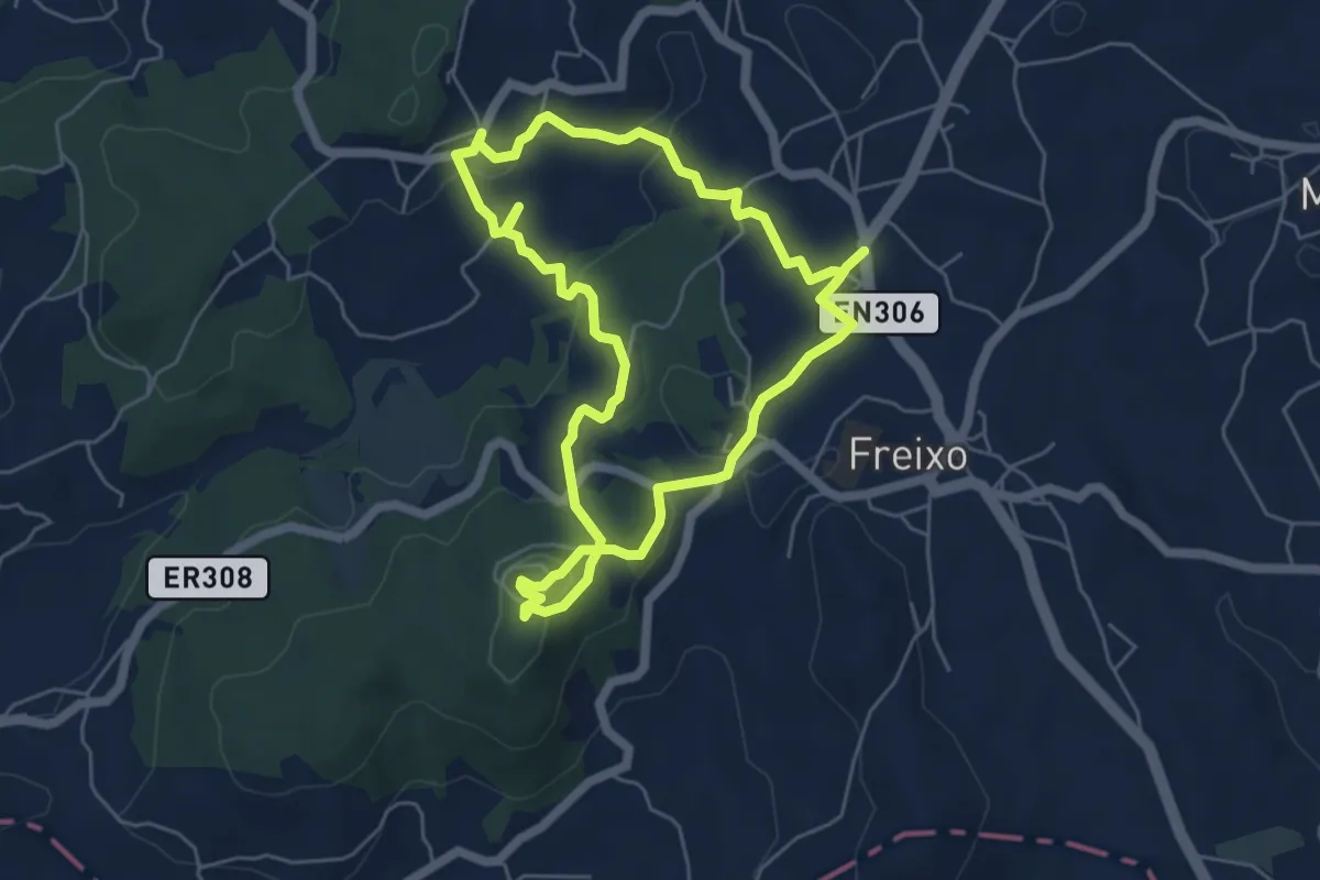
Easy · Summit
Percurso de São Julião de Freixo
5.7 km · ↑ 176 m · 1 h 48 min · 14 km away
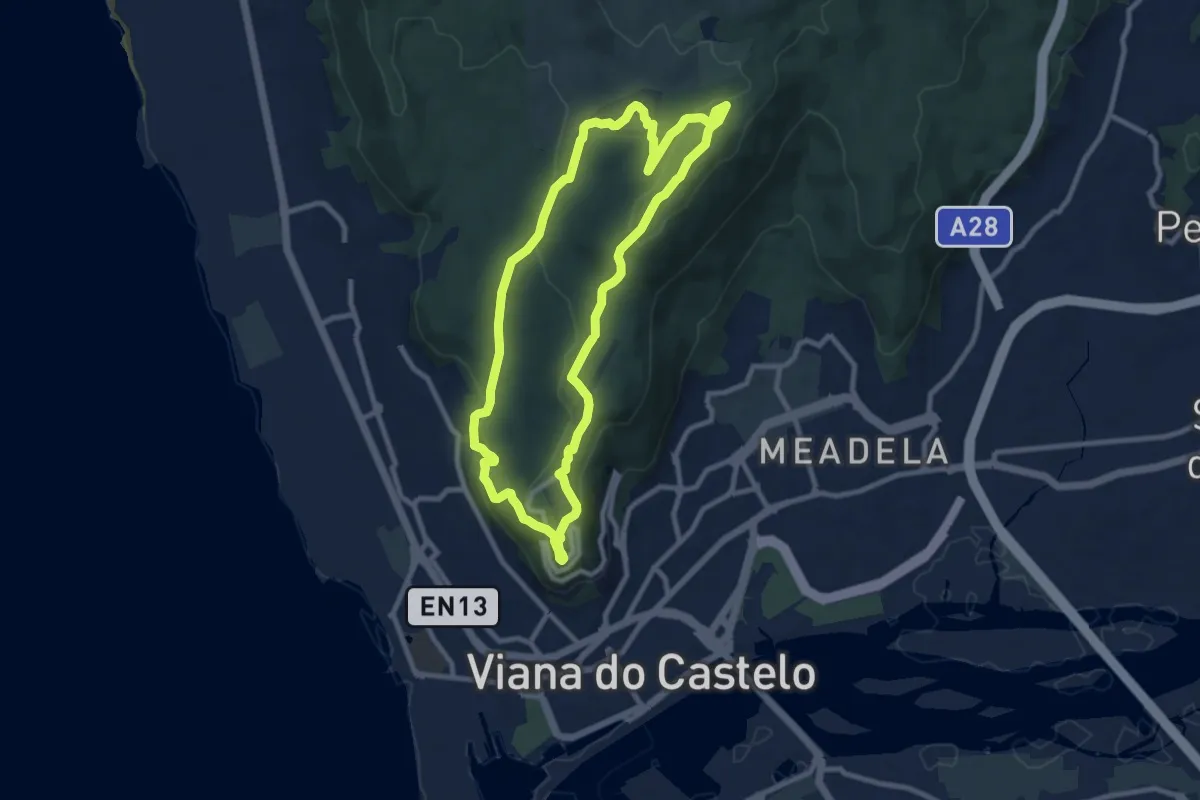
Medium · Trail
Trilho dos Canos de Água
9.8 km · ↑ 348 m · 3 h 12 min · 14 km away