Trails near Gerês
27 hikes starting within 15 km, nearest first.
Nearest first
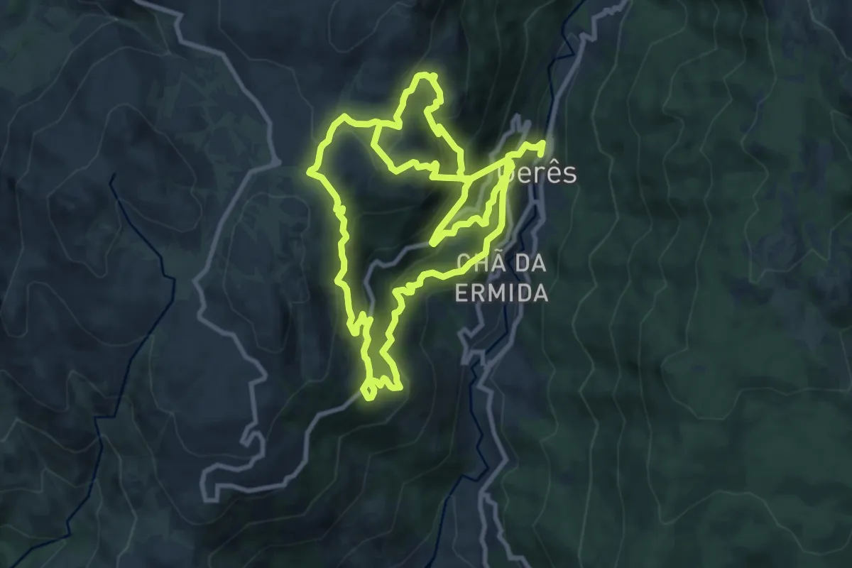
Demanding · Trail
Geres Panorama
10.4 km · ↑ 1059 m · 4 h 40 min · under 1 km away
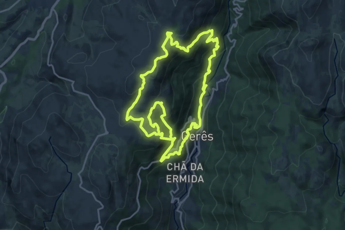
Demanding · Trail
Trilho dos Miradouros
12.0 km · ↑ 1008 m · 5 h 5 min · under 1 km away
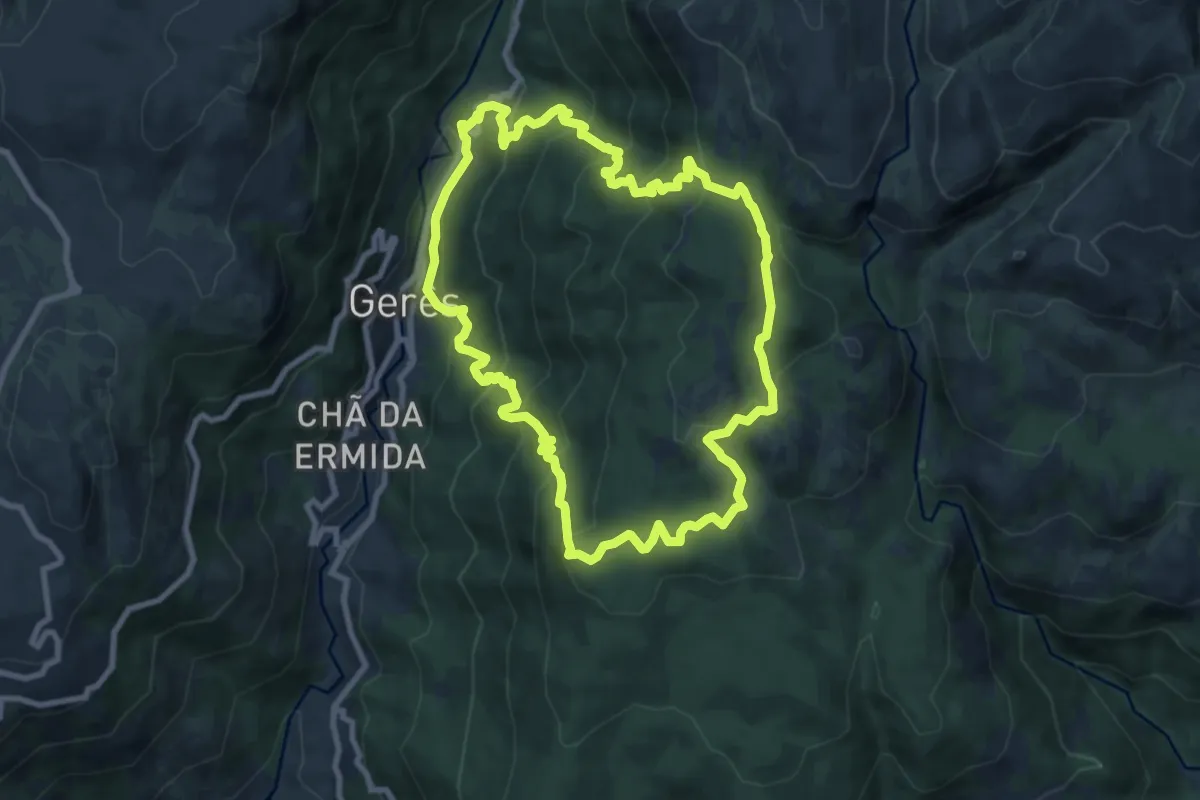
Medium · Trail
Trilho dos Currais
9.6 km · ↑ 656 m · 3 h 49 min · 1 km away
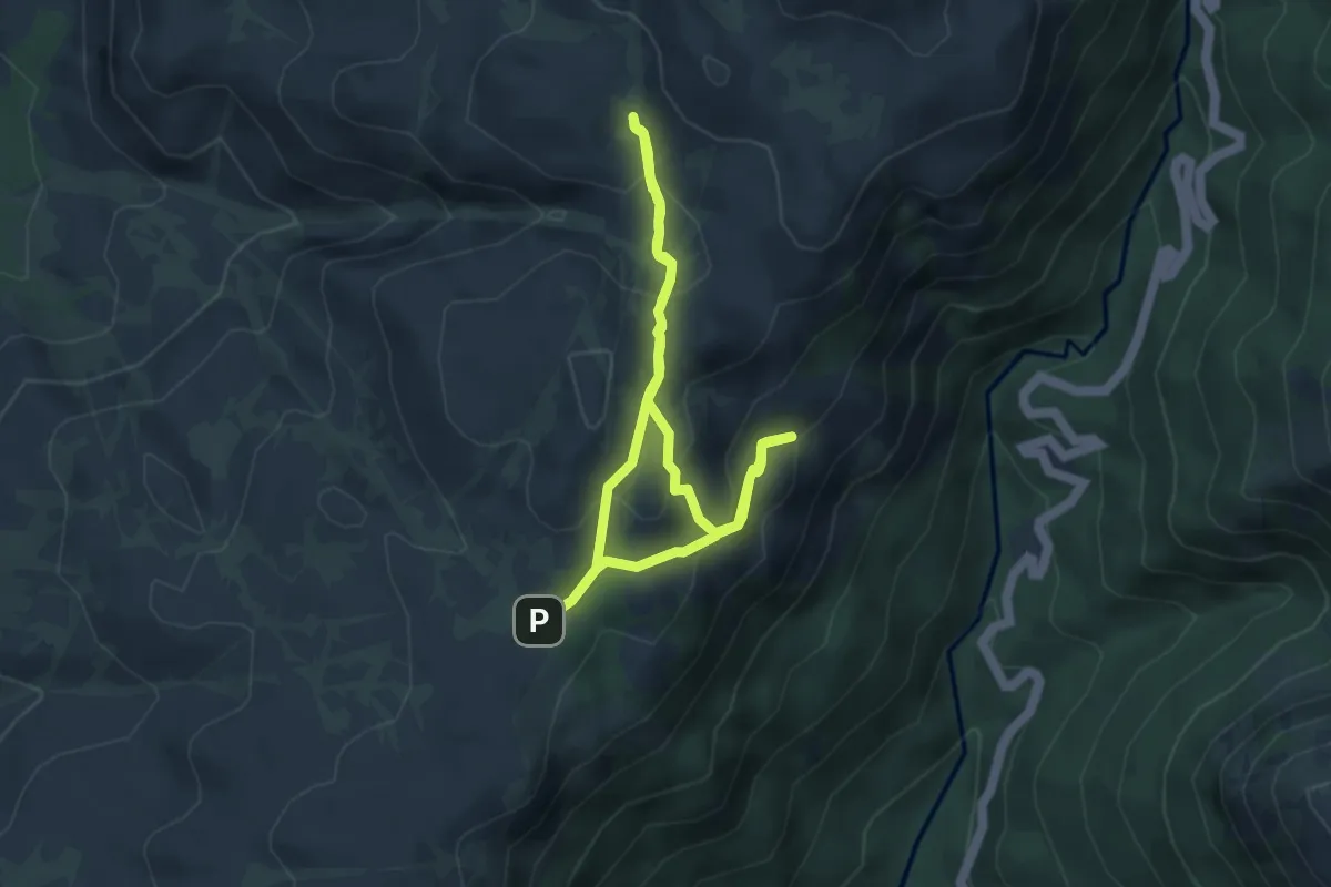
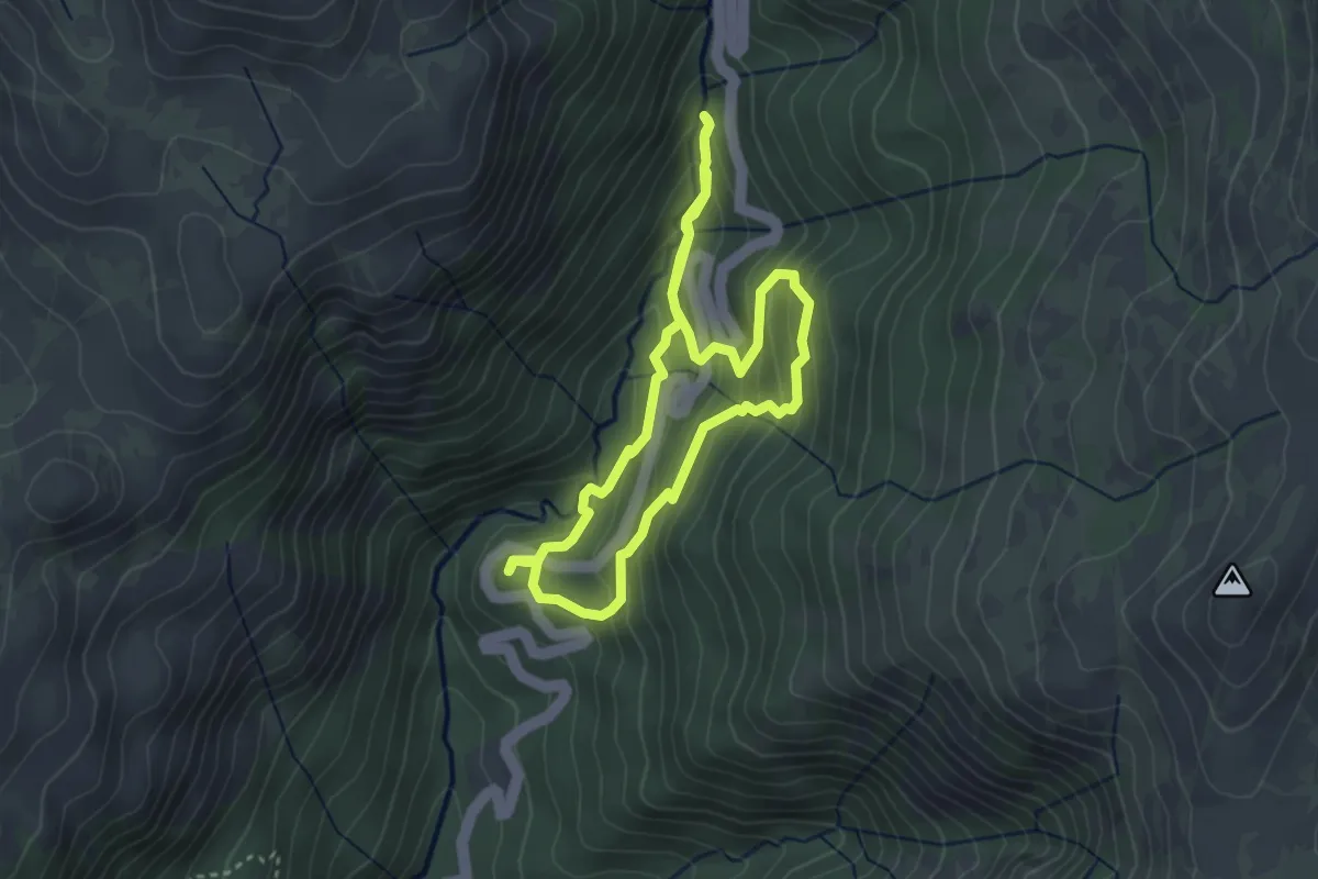
Easy · Cabin
Trilho das Silhas dos Ursos
4.1 km · ↑ 208 m · 1 h 28 min · 2 km away
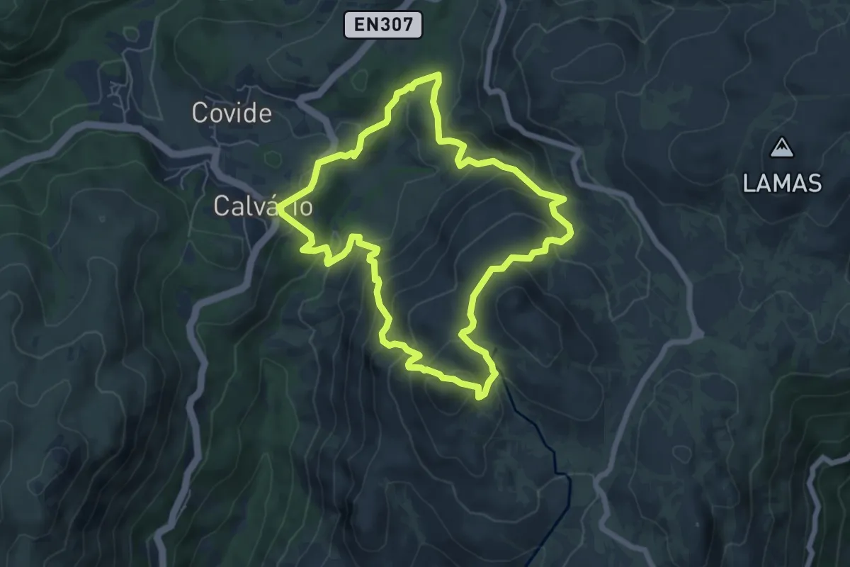
Easy · Trail
Trilho da Preguiça
3.3 km · ↑ 232 m · 1 h 19 min · 3 km away
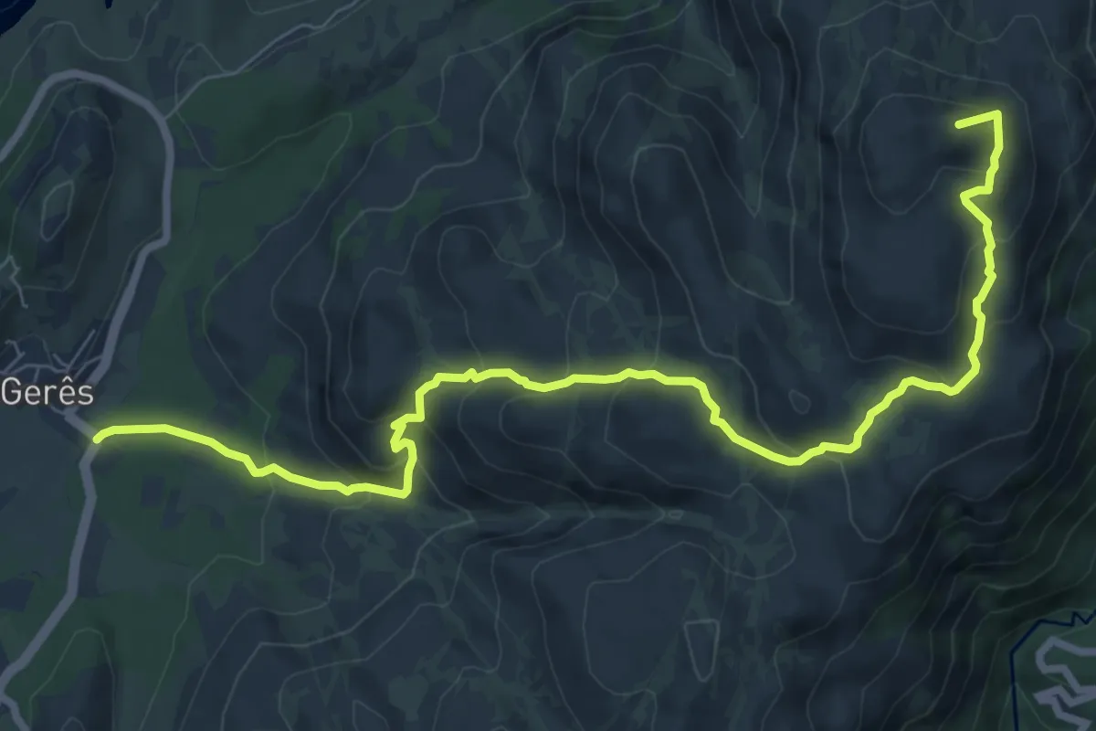
Medium · Summit
Trilho da Calcedónia
6.5 km · ↑ 418 m · 2 h 32 min · 4 km away
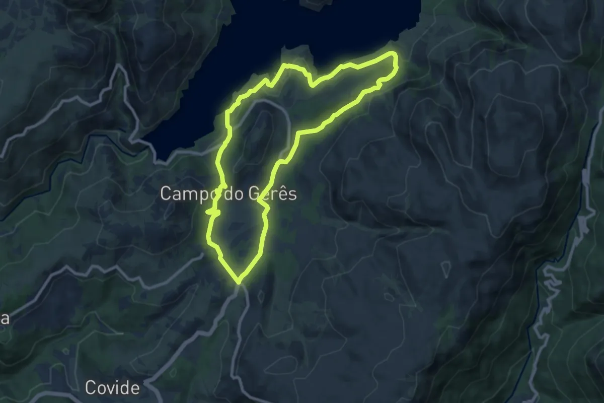
Medium · Summit
PE de Cabril
10.1 km · ↑ 581 m · 3 h 39 min · 4 km away
Medium · Trail
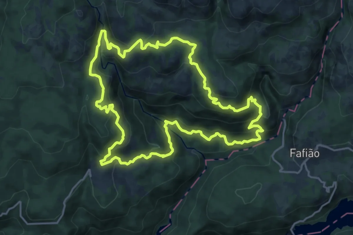
Trilho da Águia do Sarilhão
8.7 km · ↑ 379 m · 3 h · 4 km away
Medium · Trail
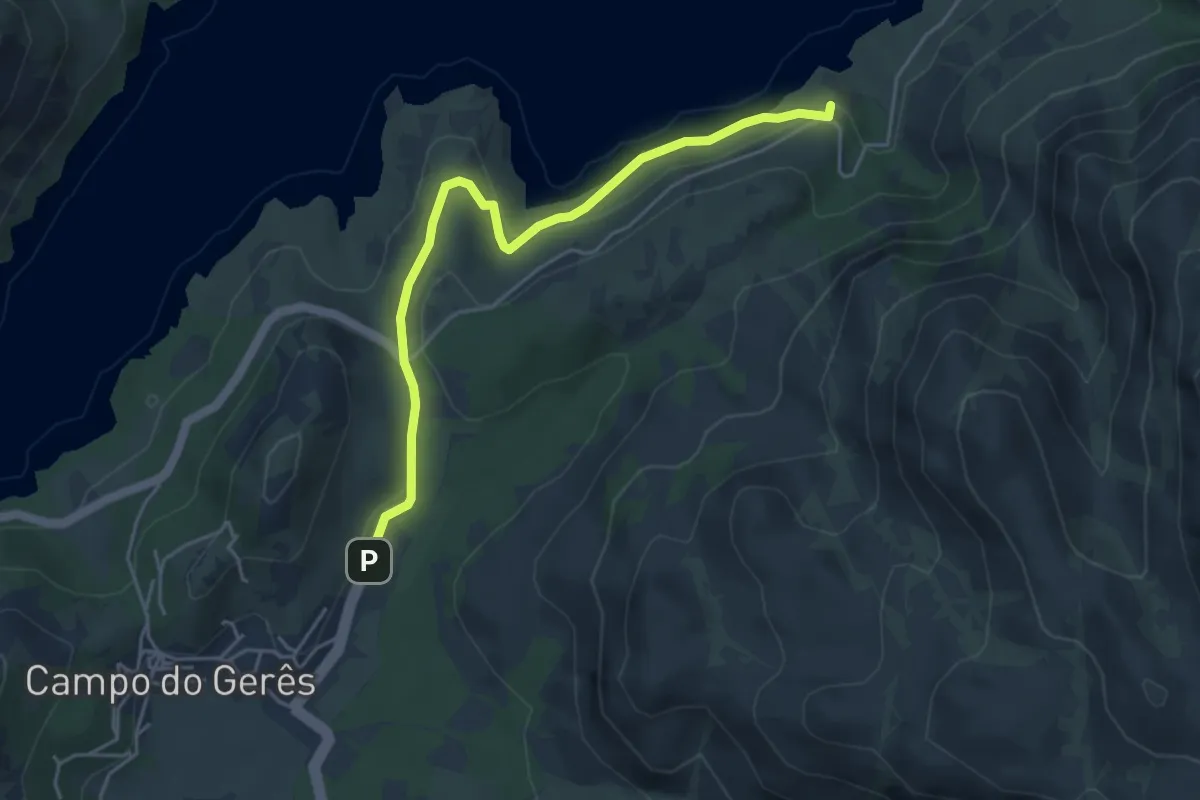
Trilho do Sobreiral da Ermida do Gerês
13.2 km · ↑ 755 m · 4 h 56 min · 4 km away
Easy · Trail
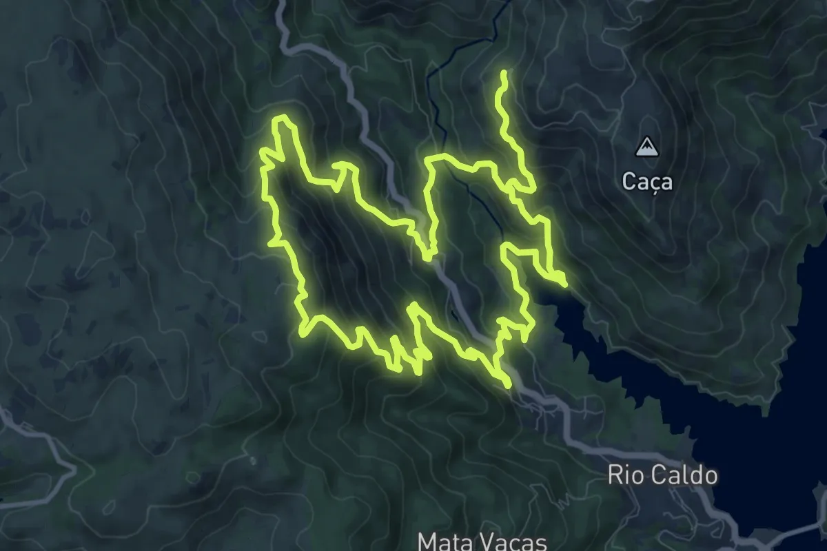
Via Nova
5.1 km · ↑ 242 m · 1 h 43 min · 5 km away
Demanding · Trail
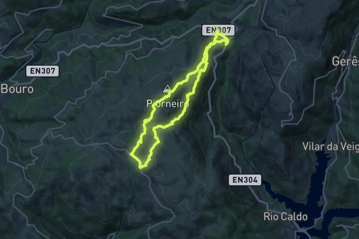
Trilho de São Bento
13.4 km · ↑ 920 m · 5 h 20 min · 5 km away
Medium · Summit
Trilho do Castelo
13.9 km · ↑ 663 m · 4 h 55 min · 7 km away
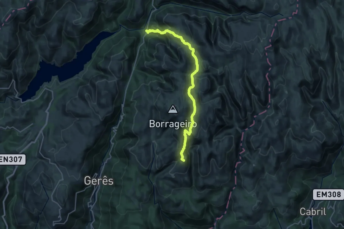
Demanding · Summit
Prados Caveiros - Ponte do Arado
19.8 km · ↑ 1133 m · 7 h 7 min · 8 km away
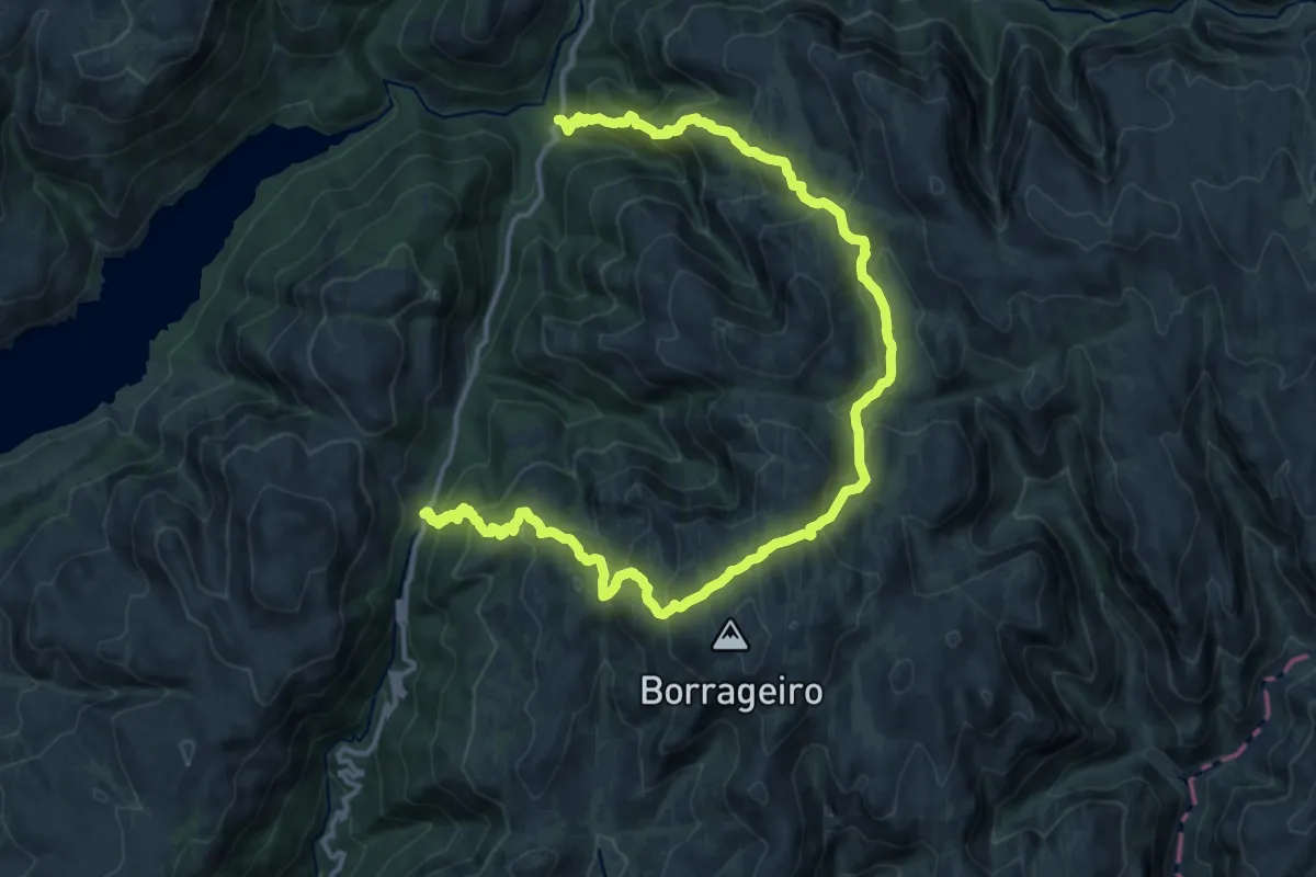
Demanding · Trail
Trilho dos Prados da Messe
20.6 km · ↑ 1400 m · 7 h 54 min · 8 km away
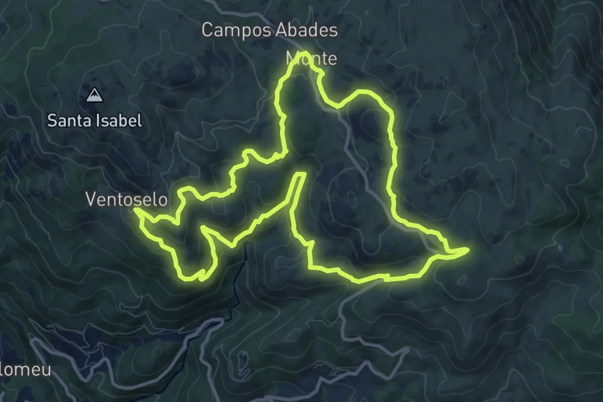
Medium · Trail
Trilho dos Moinhos de Santa Isabel do Monte
12.3 km · ↑ 573 m · 4 h 19 min · 8 km away
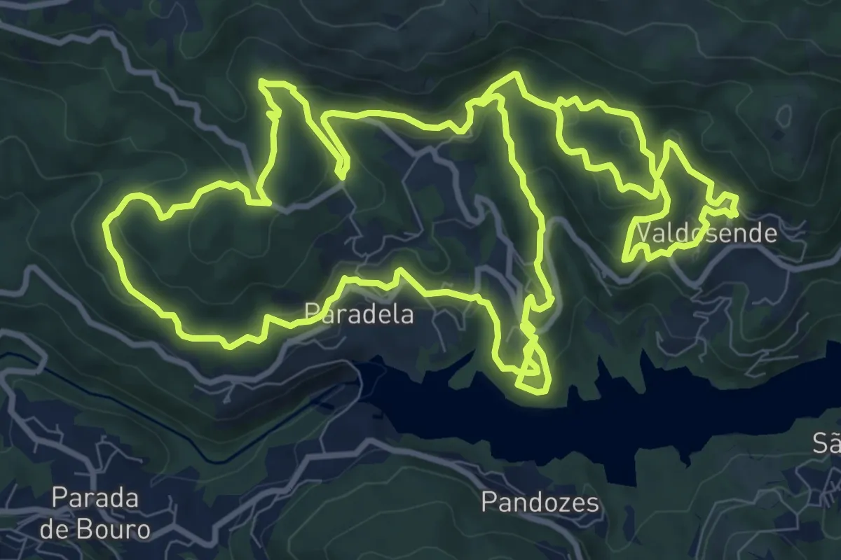
Medium · Trail
Trilho da Albufeira da Canicada
13.0 km · ↑ 631 m · 4 h 37 min · 8 km away
Medium · Trail
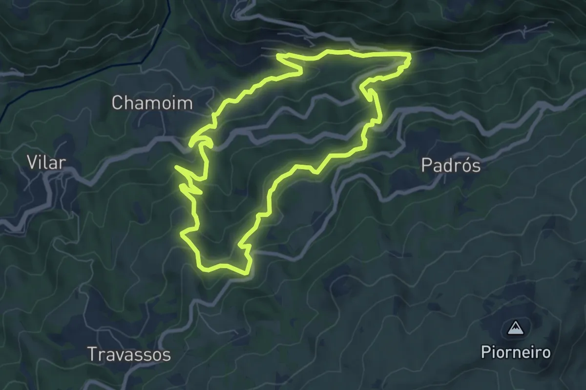
Trilho dos Moinhos e Regadios
8.1 km · ↑ 517 m · 3 h 9 min · 9 km away
Demanding · Trail
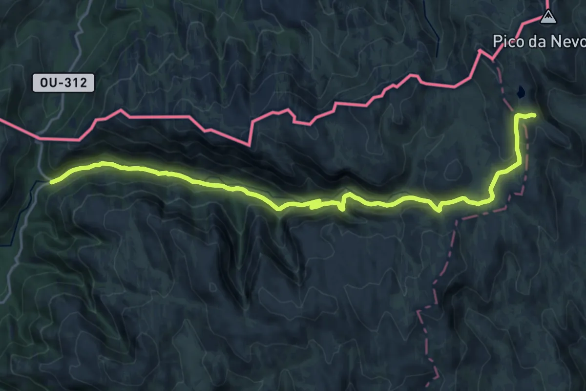
Trilho das Minas dos Carris
18.4 km · ↑ 752 m · 5 h 58 min · 9 km away
Demanding · Summit
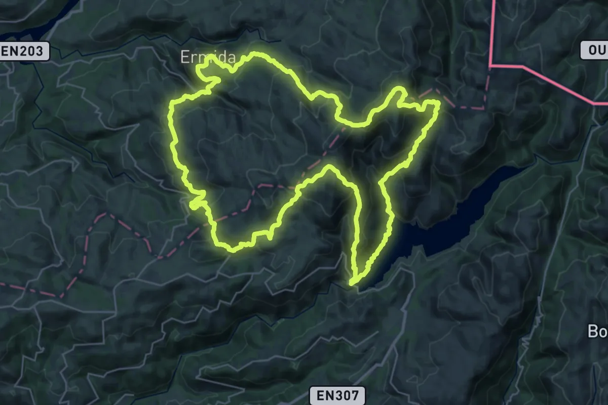
Trilho Interpretativo da Serra Amarela
34.0 km · ↑ 2097 m · 13 h 3 min · 10 km away
Medium · Summit
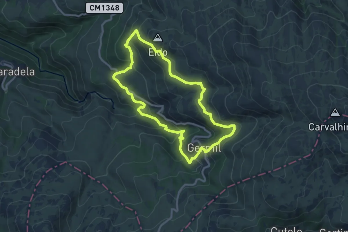
Trilho de Germil
7.1 km · ↑ 353 m · 2 h 32 min · 10 km away
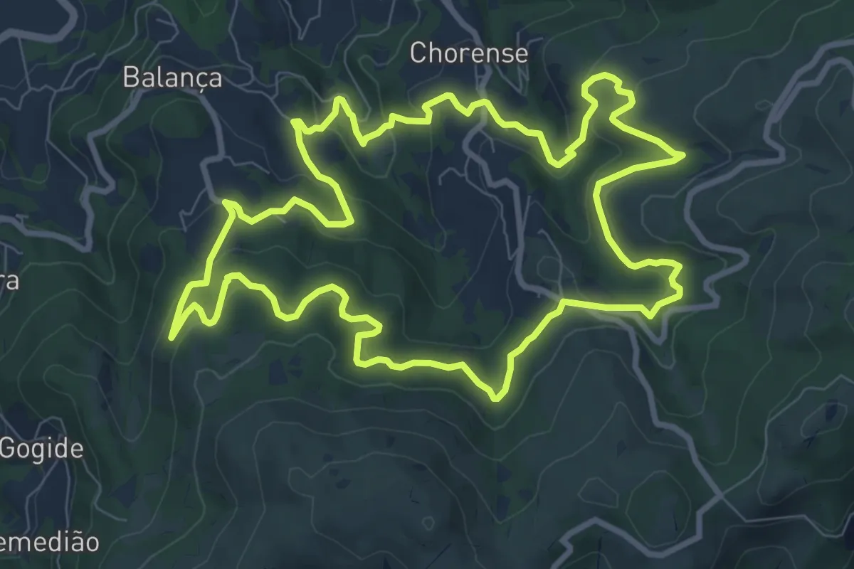
Medium · Trail
Trilho da Geira
9.9 km · ↑ 506 m · 3 h 34 min · 12 km away
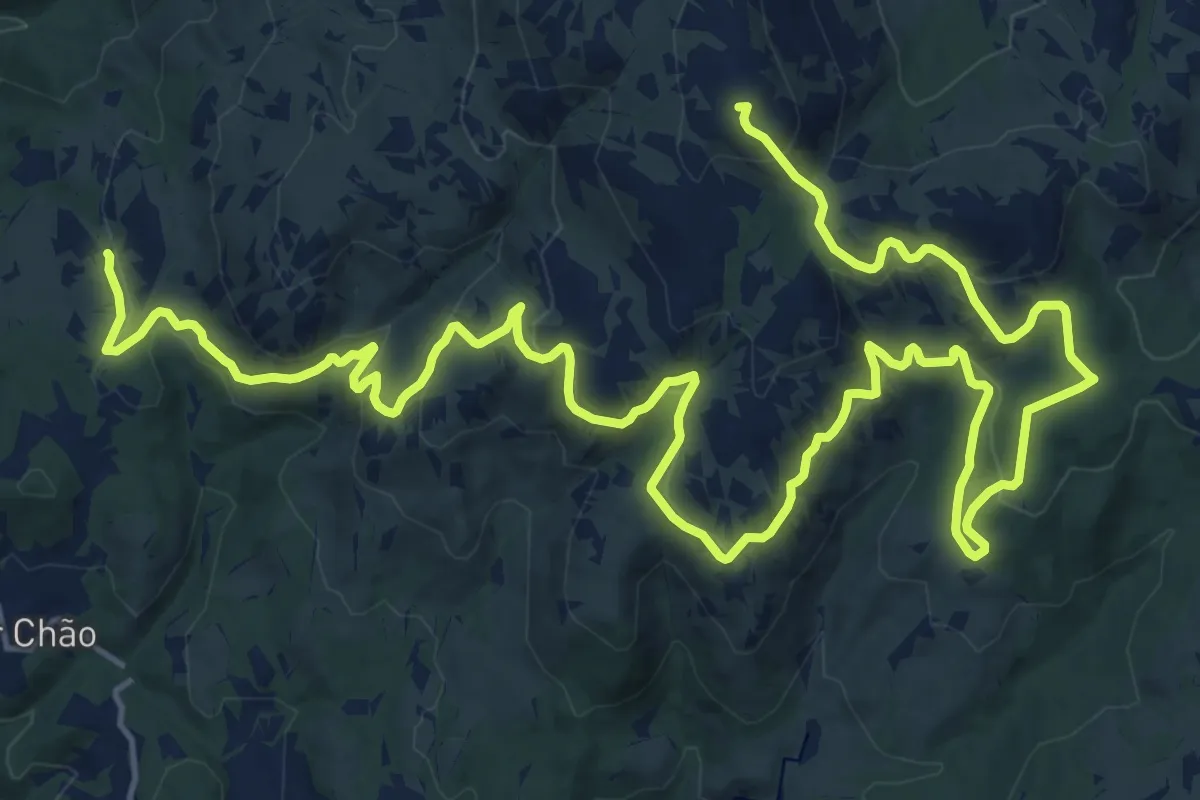
Demanding · Summit
Grande Rota – Fojos
31.1 km · ↑ 1123 m · 9 h 47 min · 12 km away
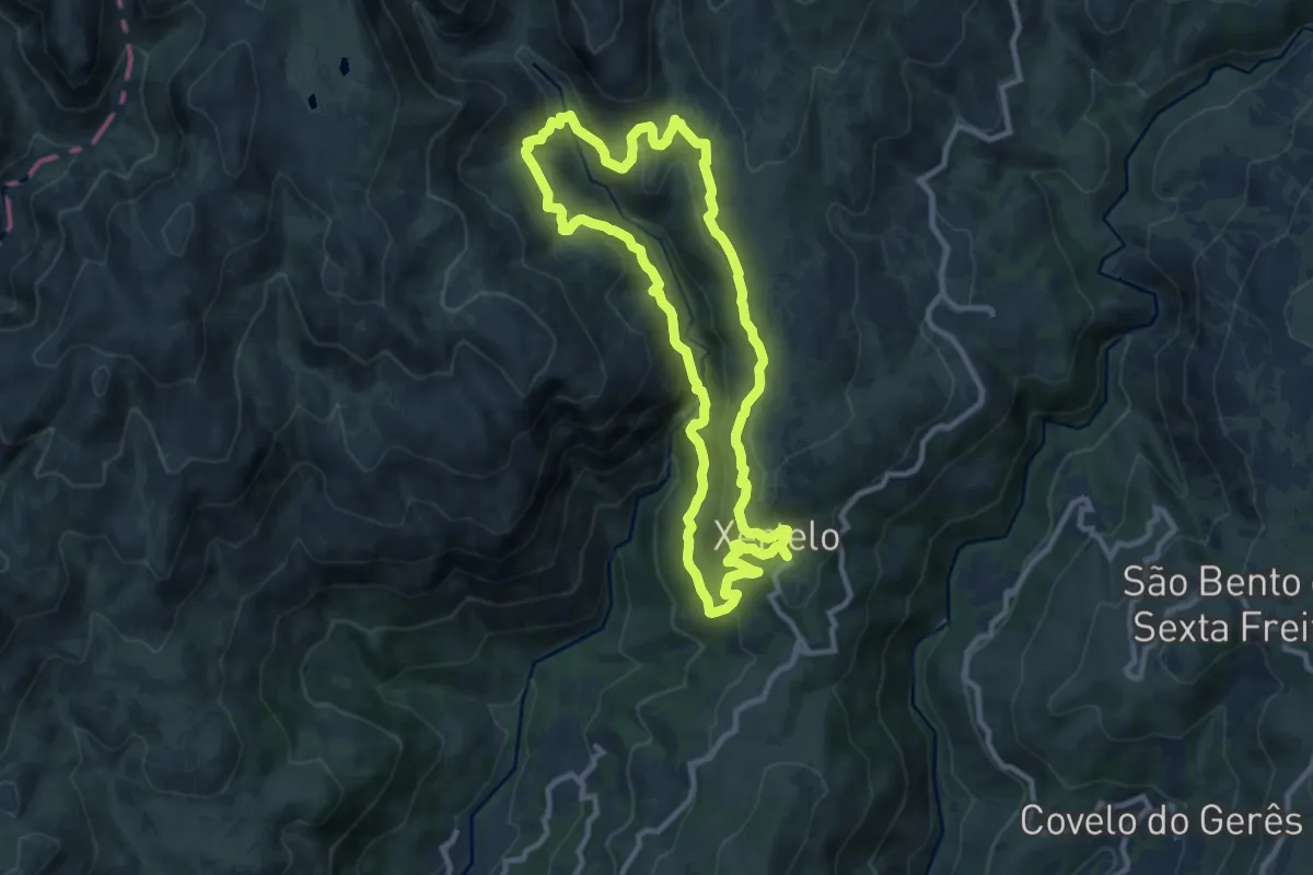
Demanding · Trail
Trilho dos Poços Verdes
10.3 km · ↑ 467 m · 3 h 35 min · 13 km away
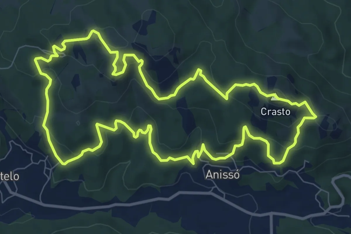
Medium · Summit
Da Sra. da Lapa ao Castro de Anissó
9.2 km · ↑ 401 m · 3 h 10 min · 13 km away
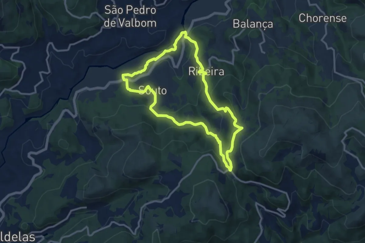
Medium · Trail
Trilho do Couto do Souto
9.0 km · ↑ 442 m · 3 h 12 min · 14 km away
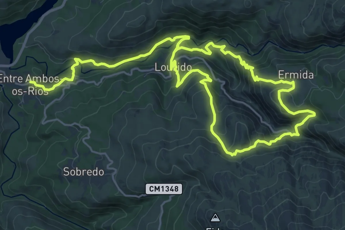
Medium · Trail
Trilho de Entre Ambos-os-Rios à Ermida
12.9 km · ↑ 584 m · 4 h 32 min · 15 km away
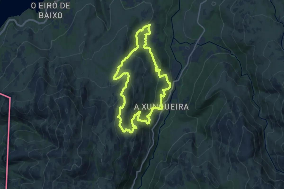
Medium · Trail
Ruta de Padrendo
10.5 km · ↑ 548 m · 3 h 49 min · 15 km away