Trails near Gouveia
26 hikes starting within 15 km, nearest first.
Nearest first
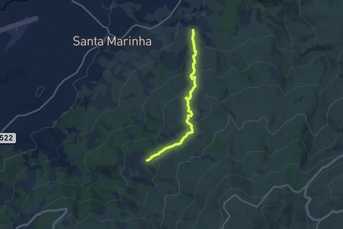
Medium · Trail
Trilho T2 (PNSE)
7.8 km · ↑ 346 m · 2 h 35 min · 6 km away
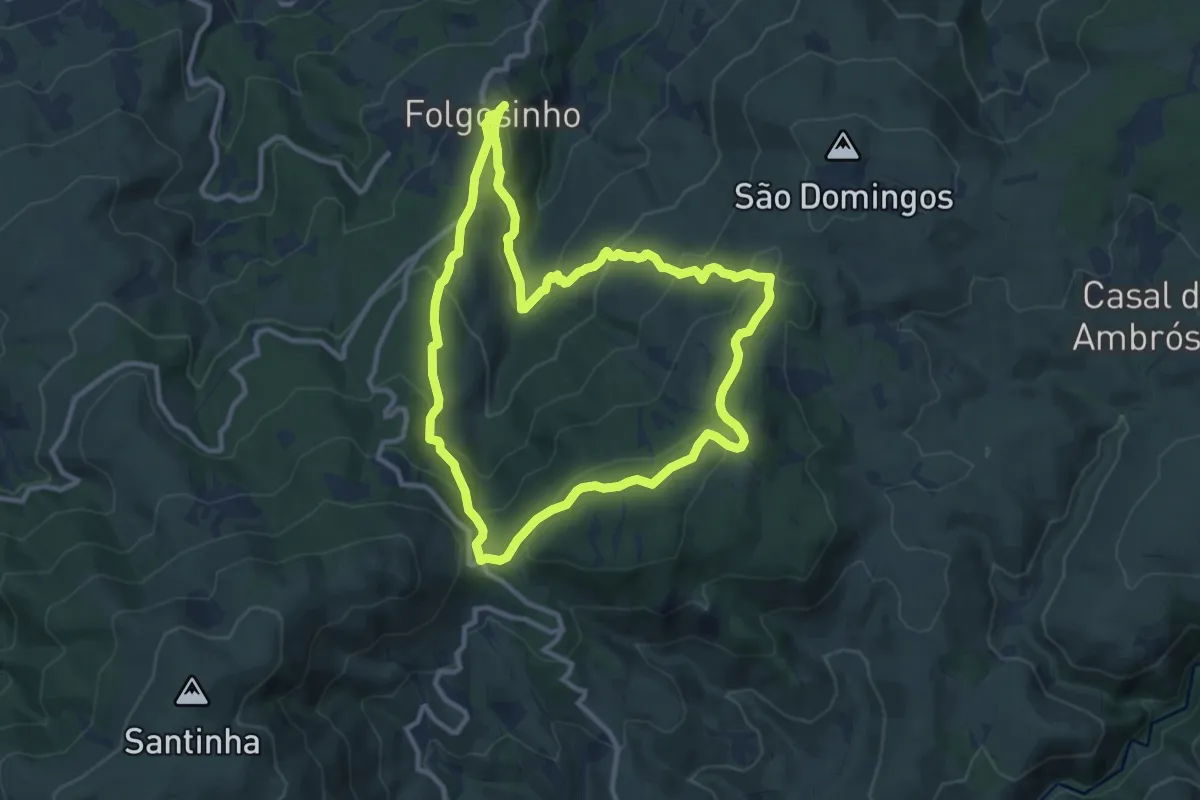
Medium · Trail
Rota dos Galhardos
11.3 km · ↑ 532 m · 3 h 59 min · 7 km away
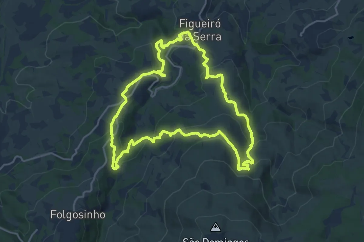
Medium · Trail
Veredas e Barrocas
12.2 km · ↑ 590 m · 4 h 20 min · 8 km away
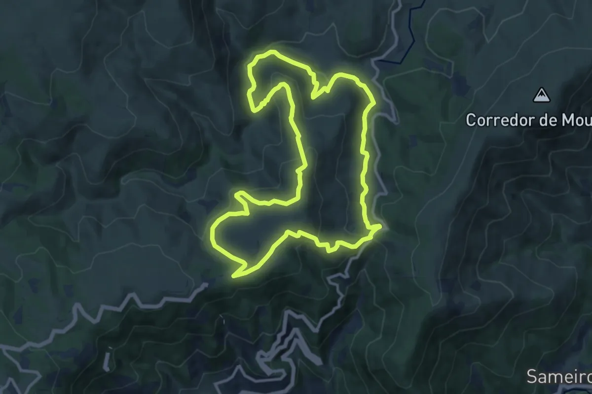
Medium · Trail
Rota do Mondego Selvagem
11.4 km · ↑ 438 m · 3 h 48 min · 8 km away
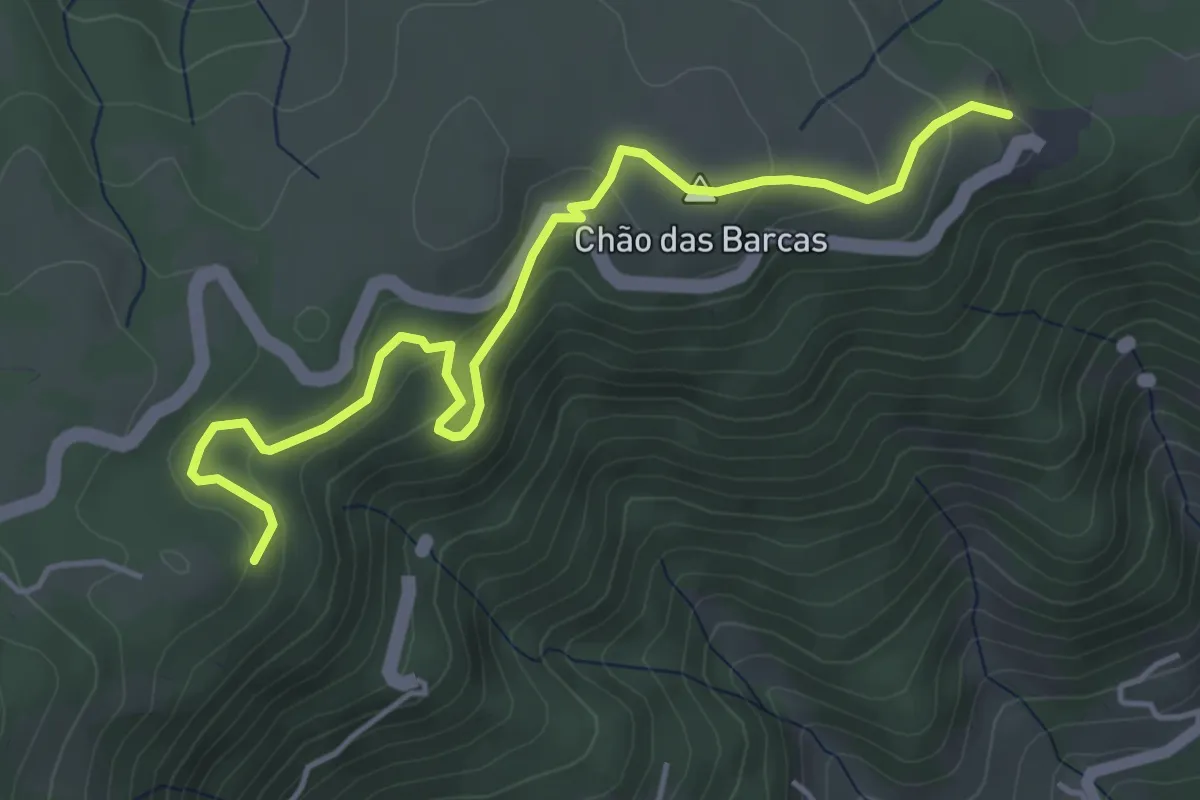
Easy · Trail
Rota do Covão de Santa Maria - Derivação
5.5 km · ↑ 211 m · 1 h 45 min · 10 km away
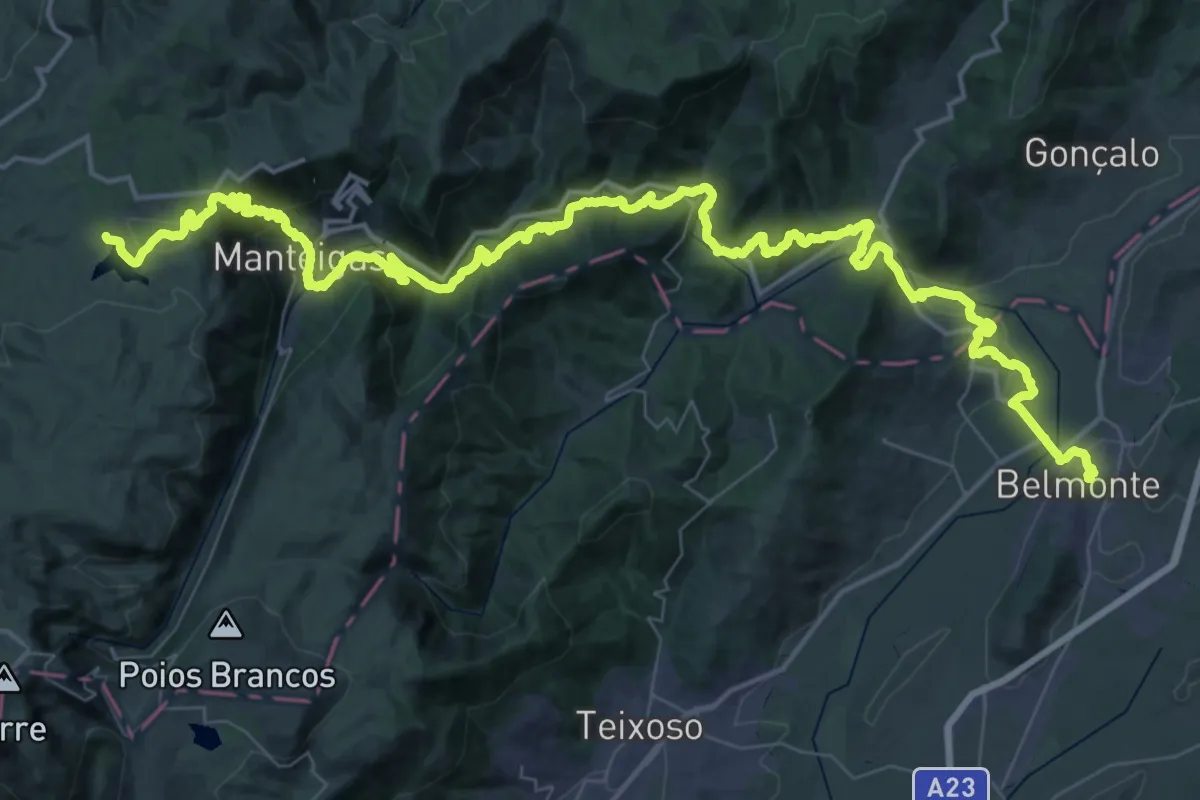
Demanding · Summit
Grande Rota das Aldeias Históricas - Variante
77.6 km · ↑ 2642 m · 24 h 3 min · 10 km away
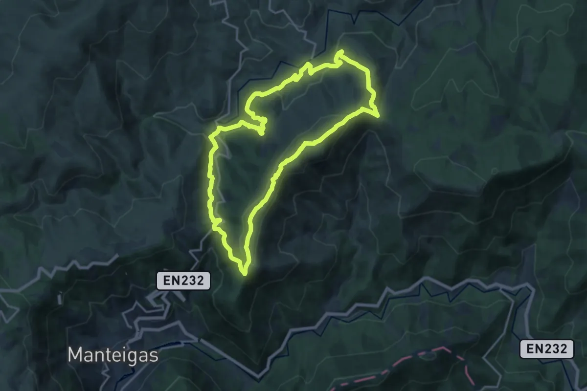
Medium · Summit
Rota do Corredor de Mouros
15.4 km · ↑ 578 m · 5 h 6 min · 10 km away
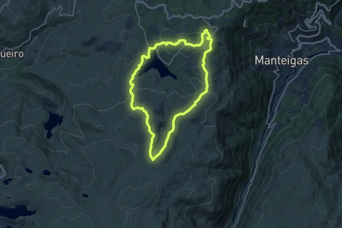
Medium · Summit
Fraga das Penhas
11.7 km · ↑ 319 m · 3 h 37 min · 10 km away
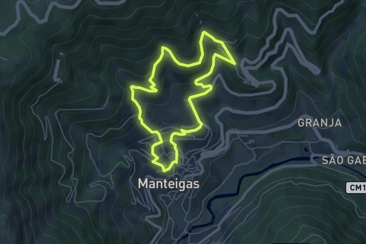
Medium · Trail
Rota das Quartelas
5.3 km · ↑ 321 m · 2 h 1 min · 10 km away
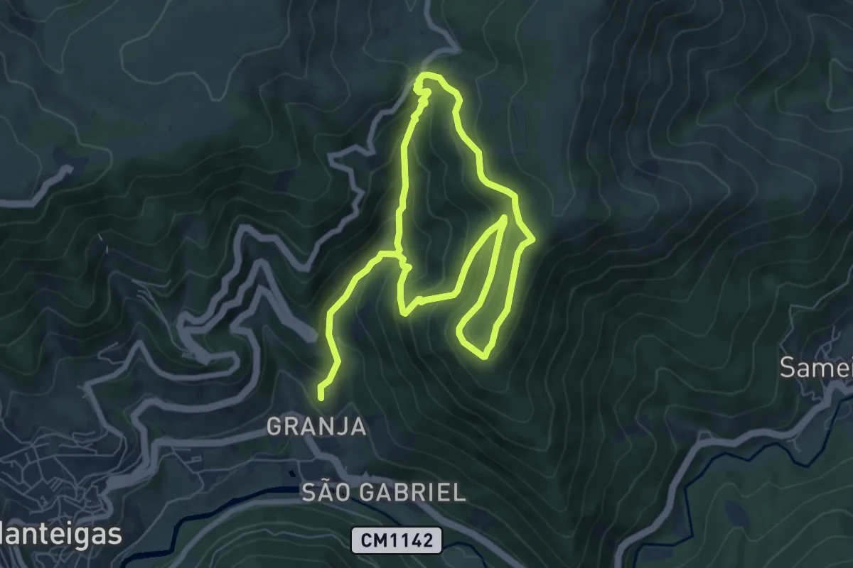
Easy · Trail
Rota das Faias
6.4 km · ↑ 304 m · 2 h 19 min · 11 km away
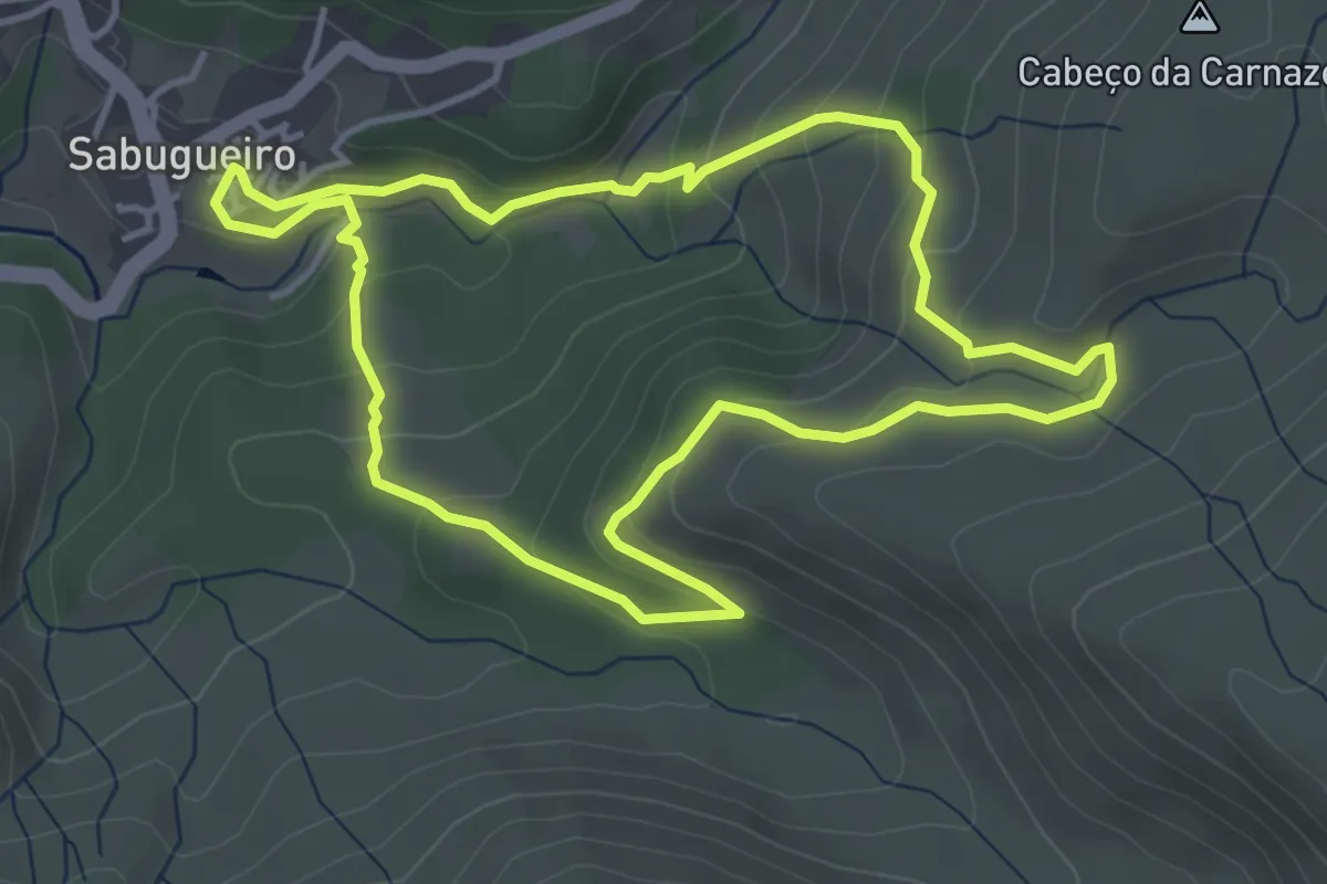
Easy · Trail
Rota da Fervença
4.5 km · ↑ 197 m · 1 h 33 min · 11 km away
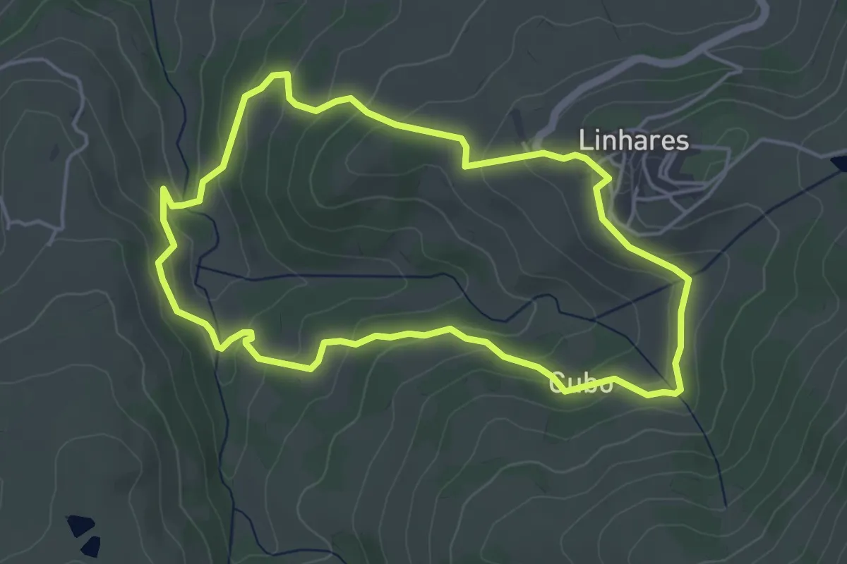
Easy · Trail
Trilho da Calçada Romana
4.8 km · ↑ 204 m · 1 h 39 min · 11 km away
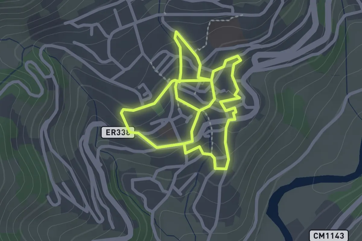
Easy · Trail
Rota da Vila
2.3 km · ↑ 89 m · 46 min · 11 km away
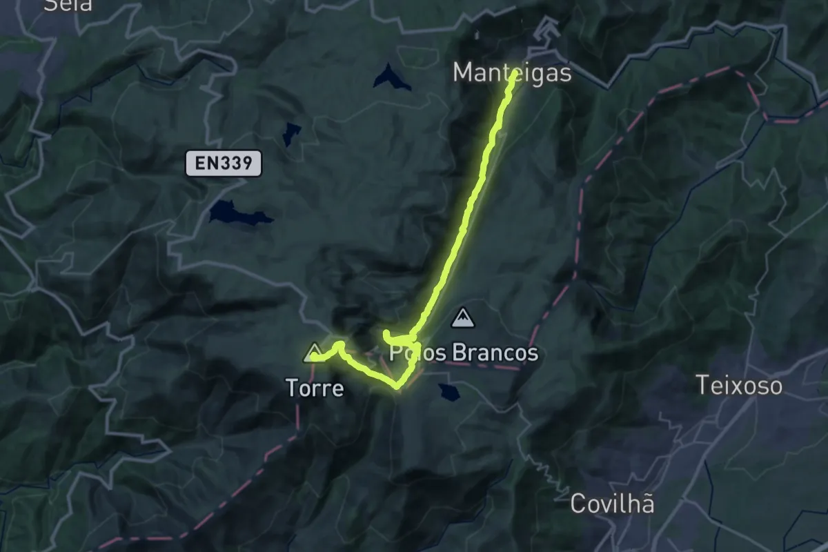
Demanding · Summit
Rota do Glaciar
33.8 km · ↑ 1431 m · 11 h 5 min · 11 km away
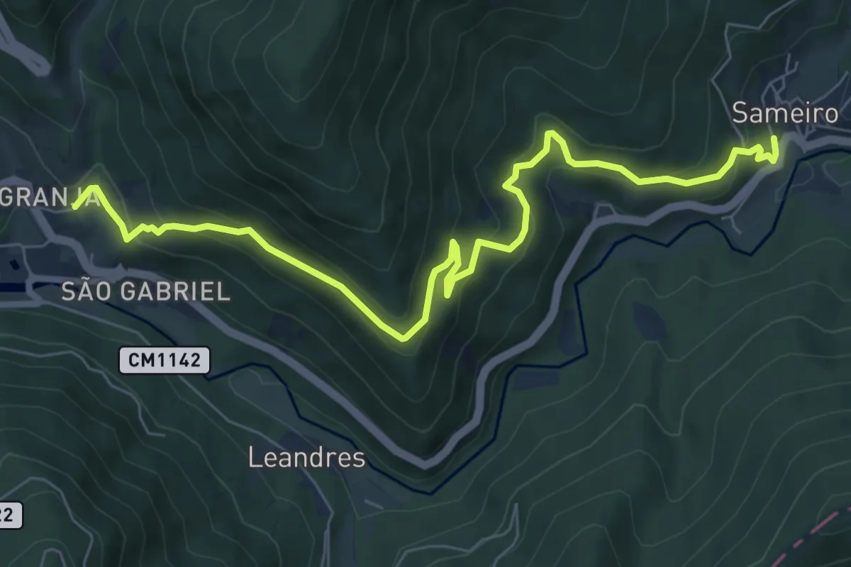
Medium · Trail
Rota do Sol
9.0 km · ↑ 494 m · 3 h 11 min · 11 km away
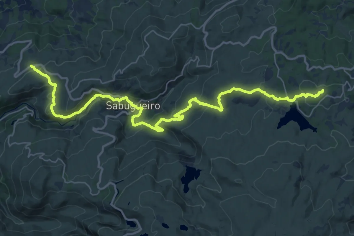
Demanding · Summit
Senhora do Espinheiro - Sabugueiro - Penhas Douradas
28.0 km · ↑ 860 m · 8 h 29 min · 12 km away
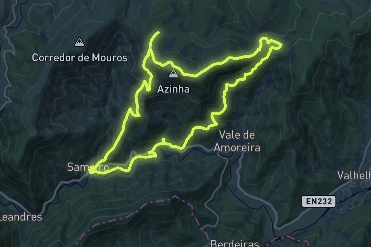
Demanding · Trail
Rota da Azinha
18.8 km · ↑ 836 m · 6 h 30 min · 12 km away
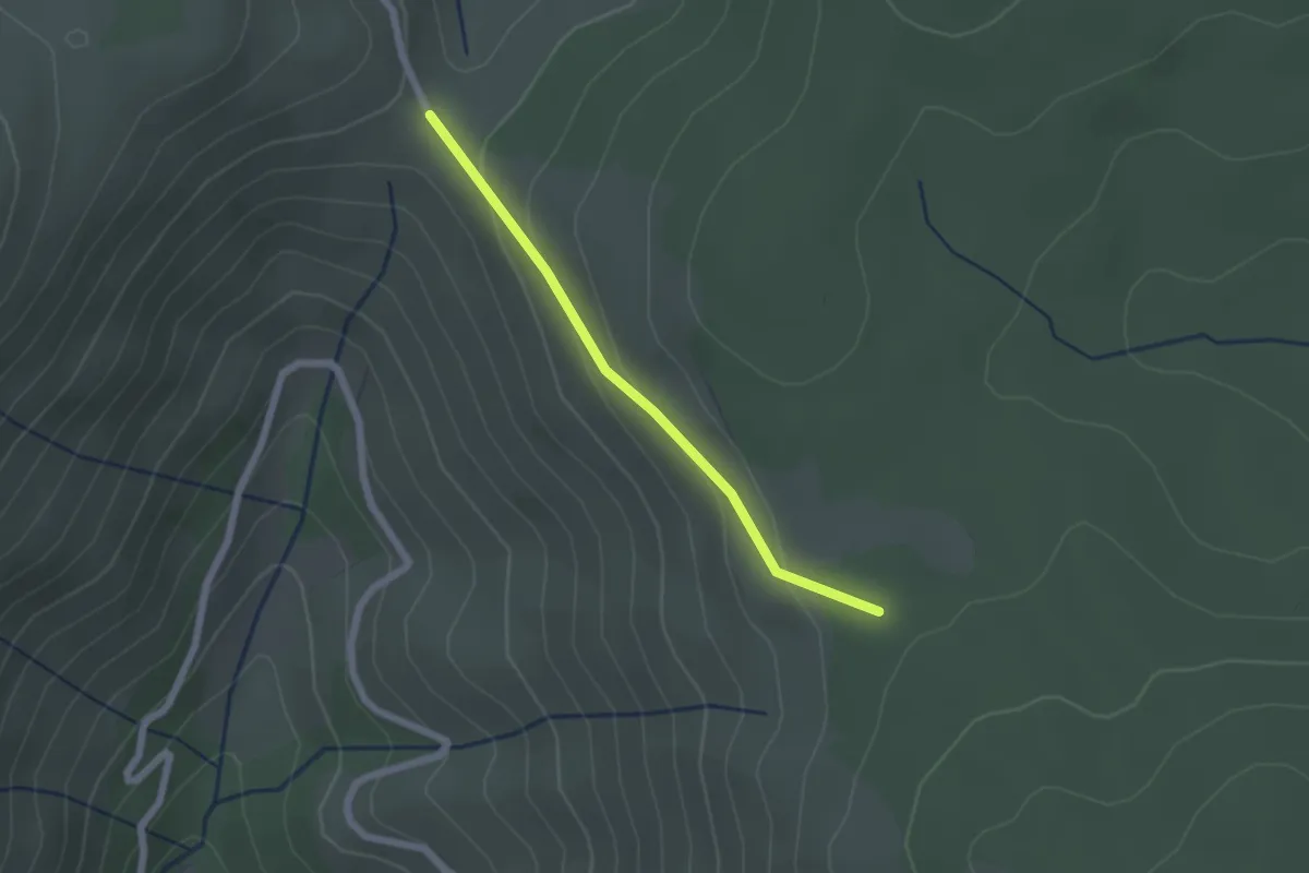
Easy · Trail
Rota da Azinha - Derivação
2.0 km · ↑ 76 m · 38 min · 12 km away
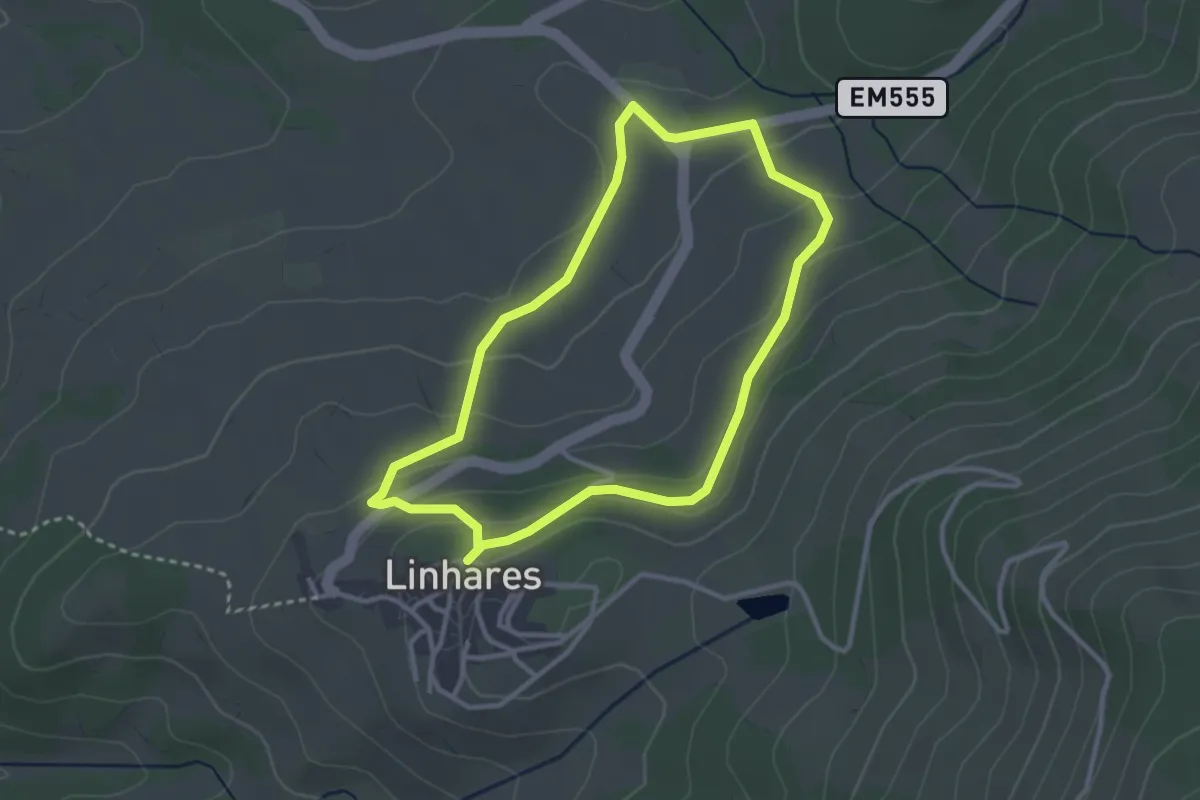
Easy · Trail
Trilho das Ladeiras
3.1 km · ↑ 112 m · 1 h 2 min · 12 km away
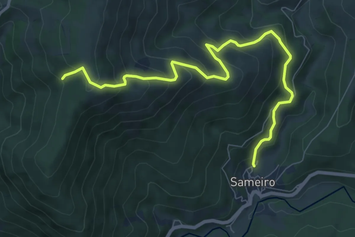
Medium · Trail
Rota do Sameiro - Derivação
9.3 km · ↑ 685 m · 3 h 41 min · 13 km away
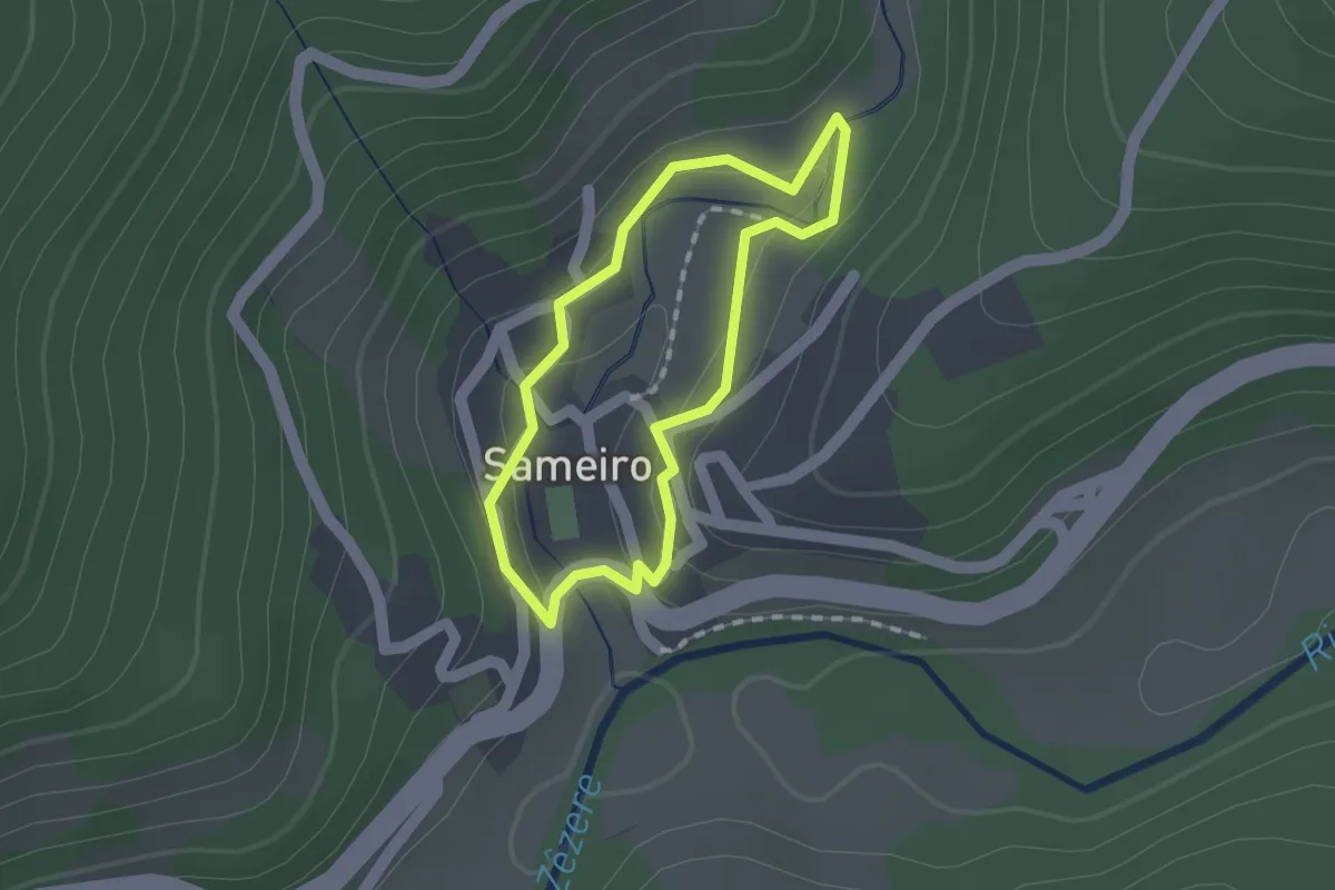
Easy · Trail
Rota do Sameiro
1.3 km · ↑ 41 m · 25 min · 13 km away
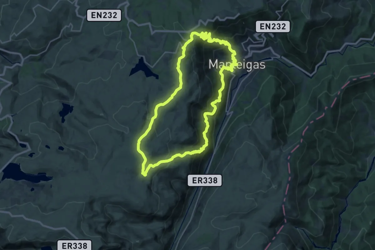
Demanding · Trail
Rota do Carvão
20.5 km · ↑ 1122 m · 7 h 33 min · 13 km away
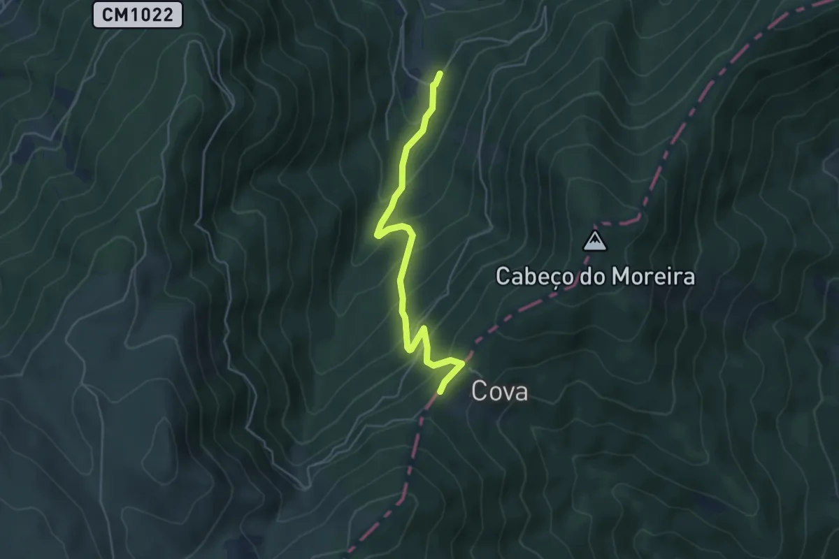
Medium · Trail
Rota da Reboleira - Derivação
4.9 km · ↑ 392 m · 2 h · 13 km away
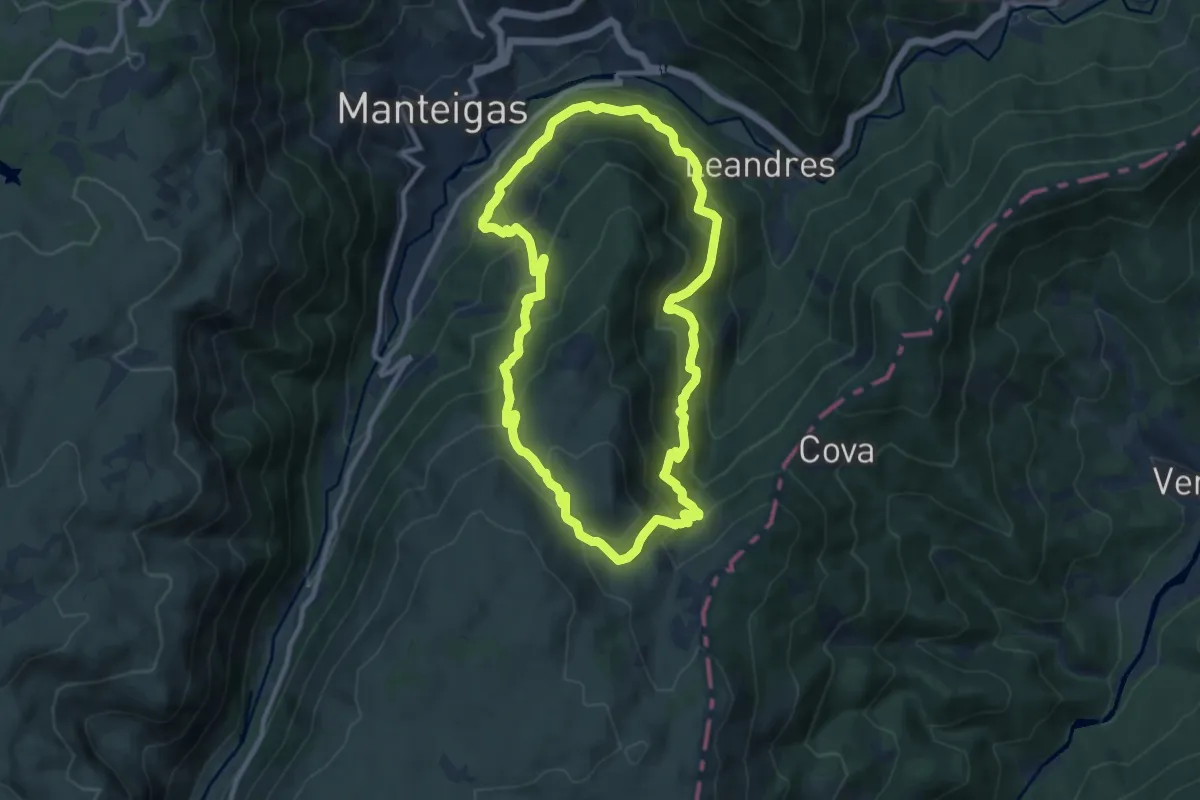
Demanding · Trail
Rota do Javali
10.7 km · ↑ 733 m · 4 h 17 min · 14 km away
Medium · Trail
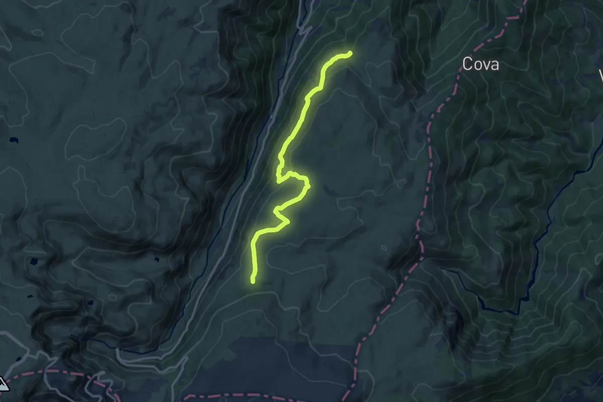
Rota dos Poios Brancos - Derivação 1
13.3 km · ↑ 327 m · 3 h 50 min · 14 km away
Demanding · Summit
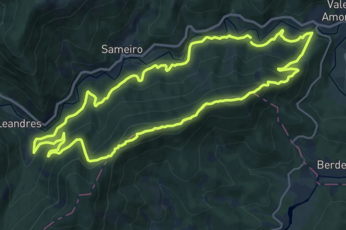
Rota da Reboleira
15.5 km · ↑ 871 m · 5 h 46 min · 14 km away