Trails near Loriga
38 hikes starting within 15 km, nearest first.
Nearest first
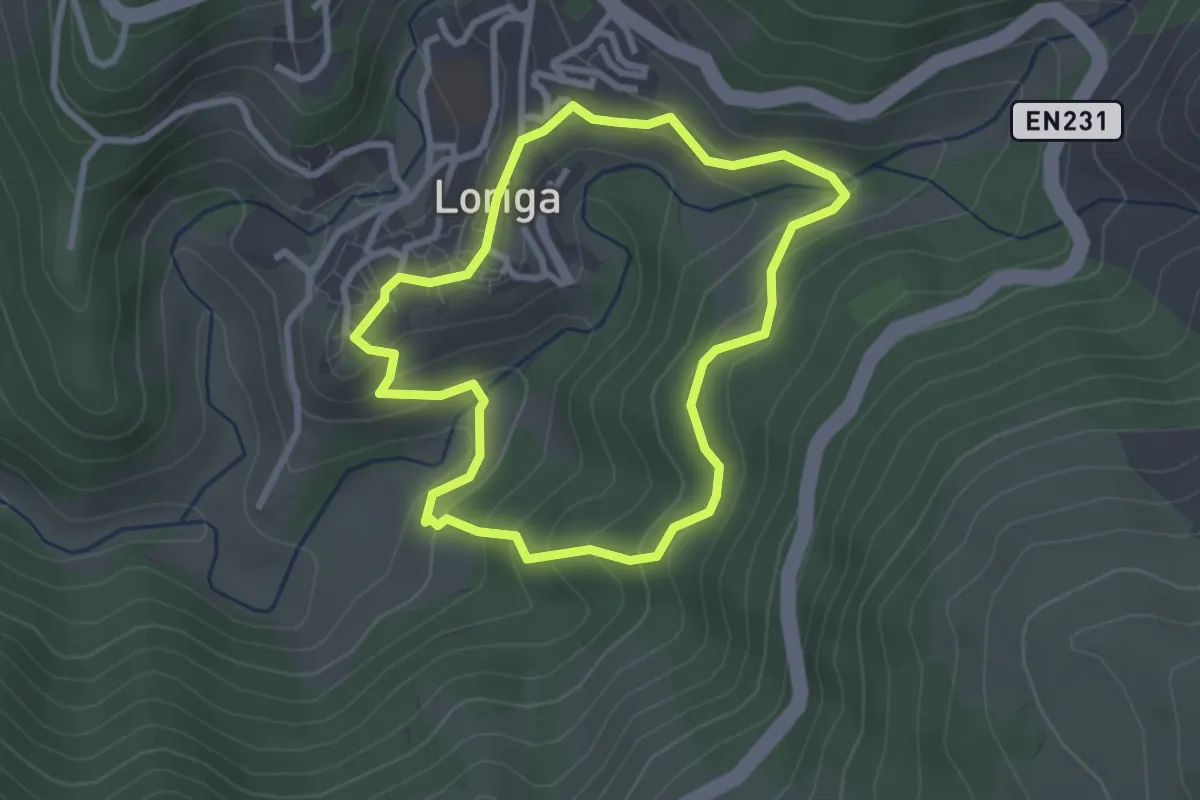
Easy · Trail
Rota da Eira
2.9 km · ↑ 179 m · 1 h 6 min · under 1 km away
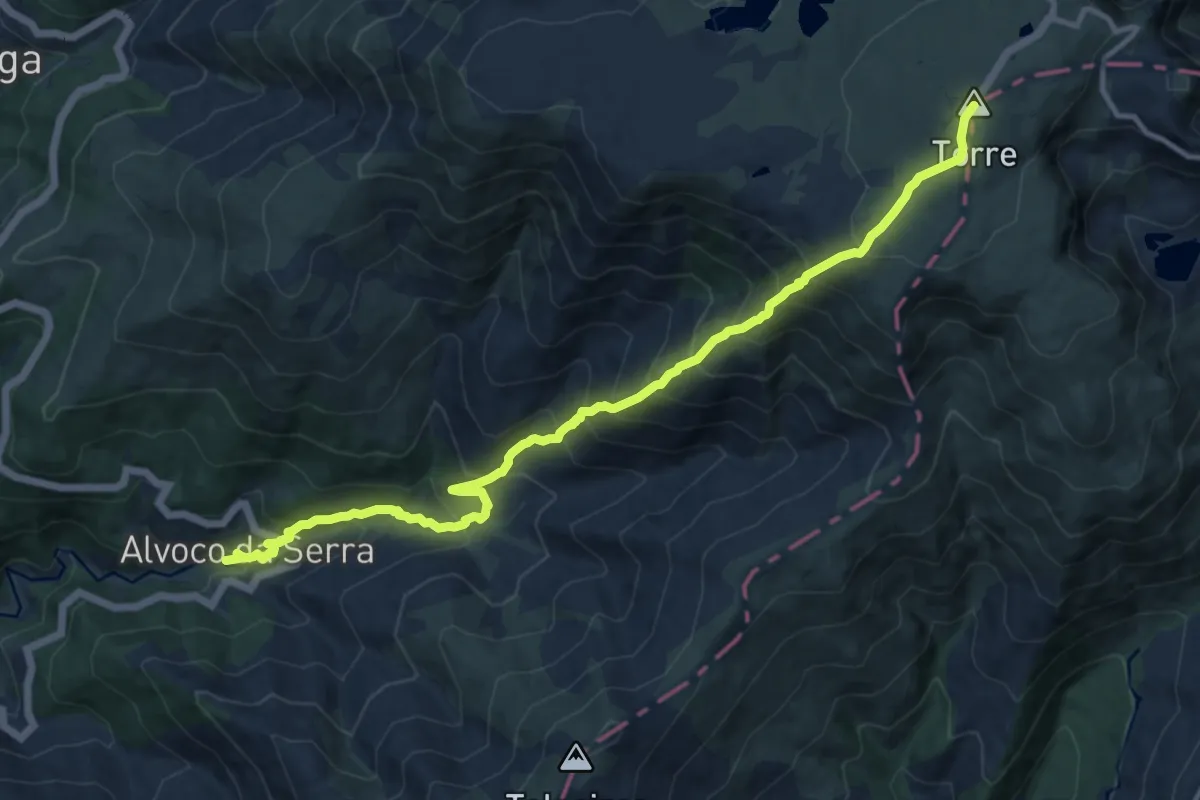
Demanding · Summit
Rota do Pastoreio
14.4 km · ↑ 1329 m · 6 h 17 min · 4 km away
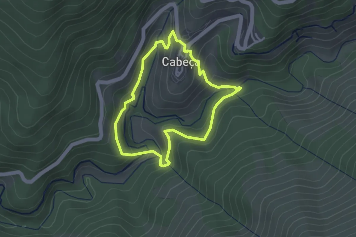
Easy · Trail
Rota dos Socalcos
2.8 km · ↑ 148 m · 1 h 1 min · 4 km away
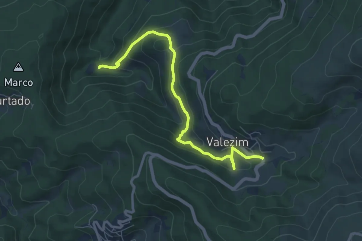
Easy · Trail
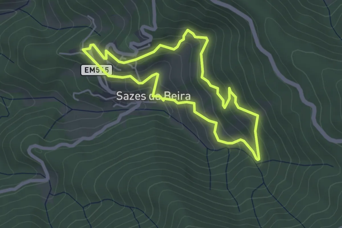
Rota das Minas do Círio
3.8 km · ↑ 53 m · 1 h 12 min · 4 km away
Easy · Trail
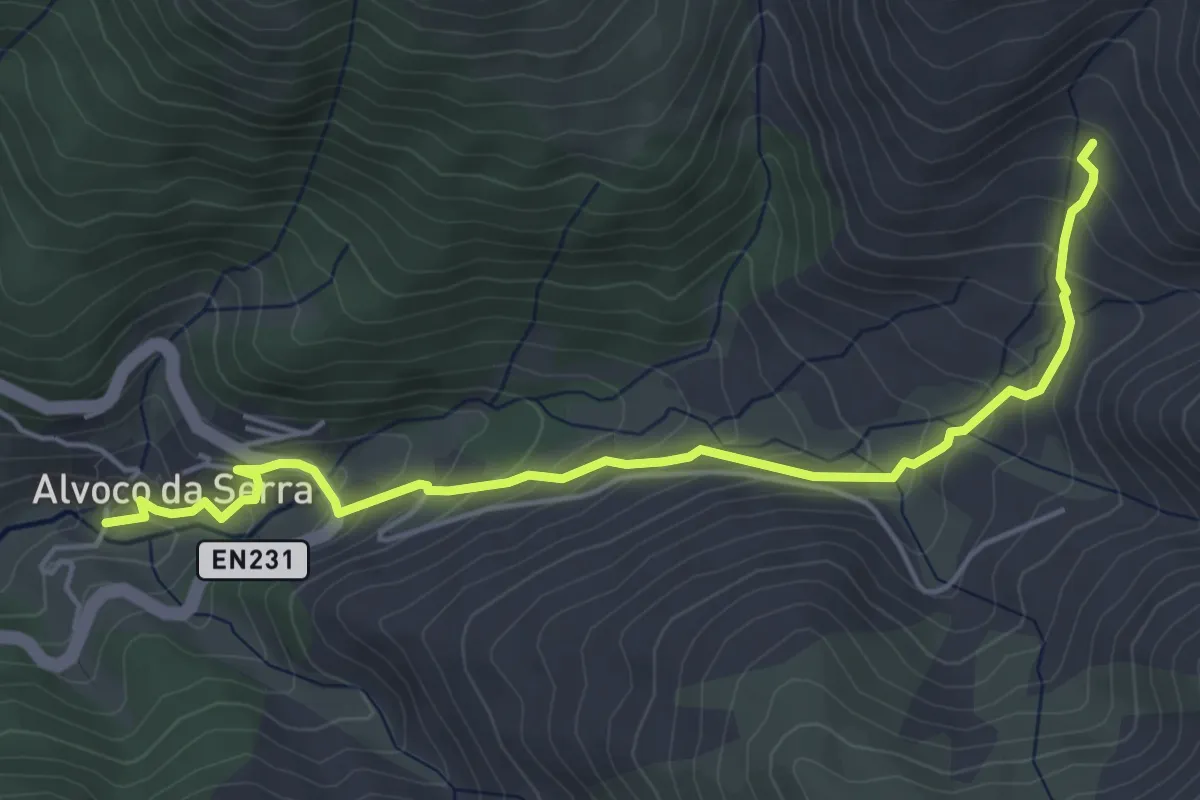
Rota do Volfrâmio
4.2 km · ↑ 235 m · 1 h 33 min · 4 km away
Easy · Trail
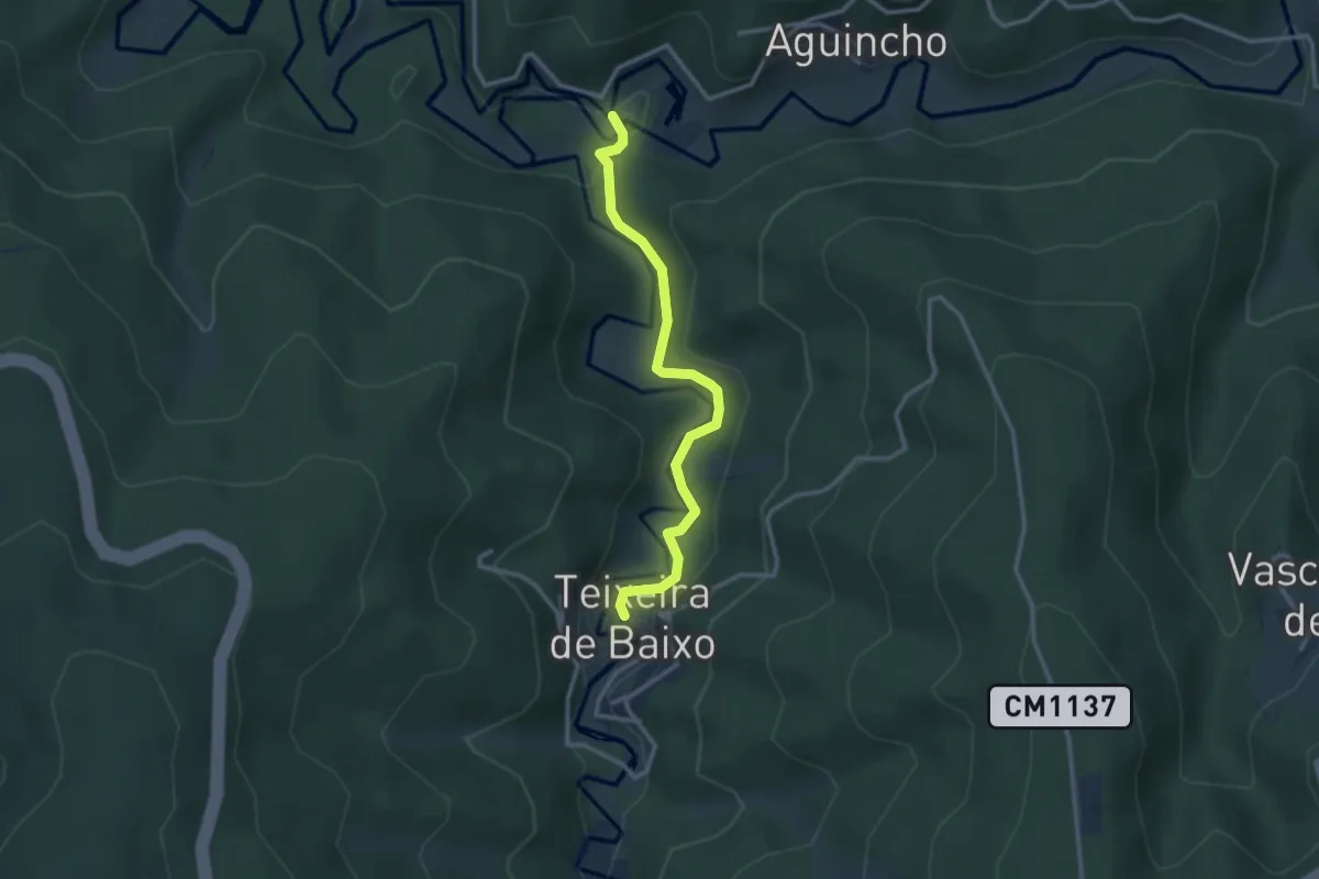
Rota das Canadas
2.9 km · ↑ 0 m · 55 min · 4 km away
Easy · Trail
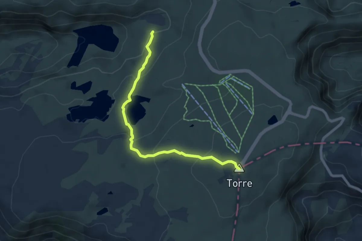
Rota da Missa - Derivação
3.1 km · ↑ 64 m · 53 min · 6 km away
Easy · Summit
Rota da Garganta de Loriga - Derivação Torre
5.3 km · ↑ 242 m · 1 h 46 min · 6 km away
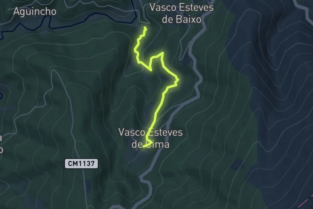
Easy · Trail
Rota da Ribeira de Alvoco - Derivação
4.1 km · ↑ 226 m · 1 h 28 min · 6 km away
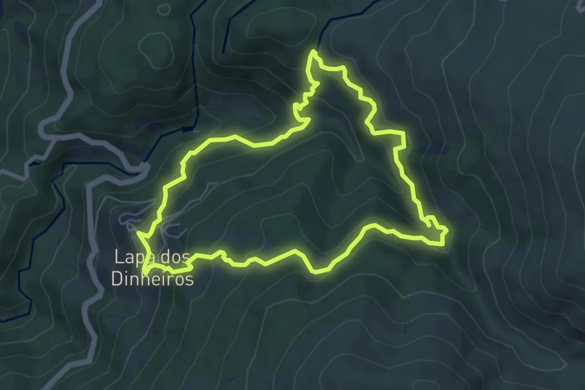
Medium · Trail
Rota da Caniça
6.6 km · ↑ 483 m · 2 h 42 min · 6 km away
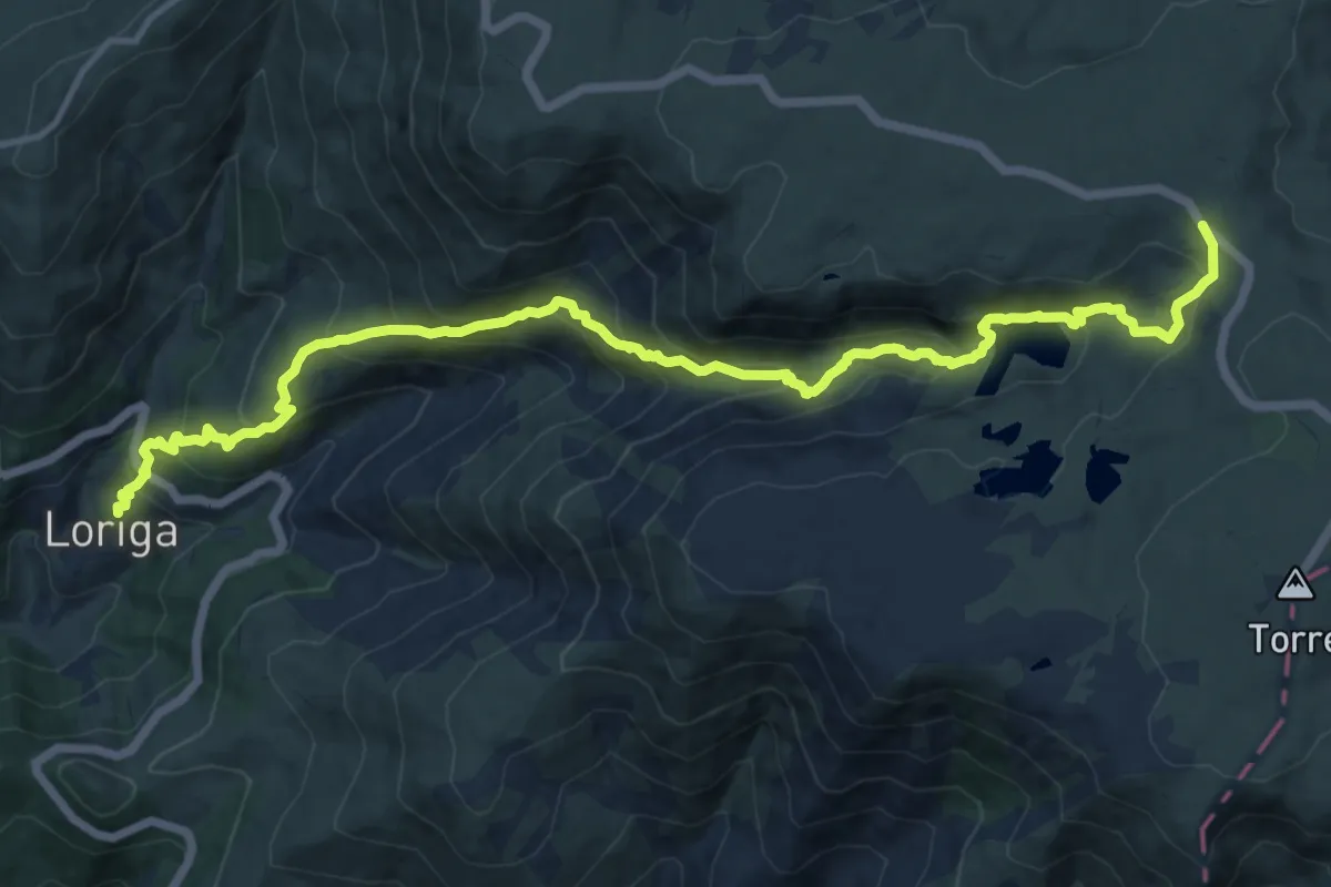
Demanding · Trail
Rota da Garganta de Loriga
17.5 km · ↑ 1143 m · 6 h 36 min · 6 km away
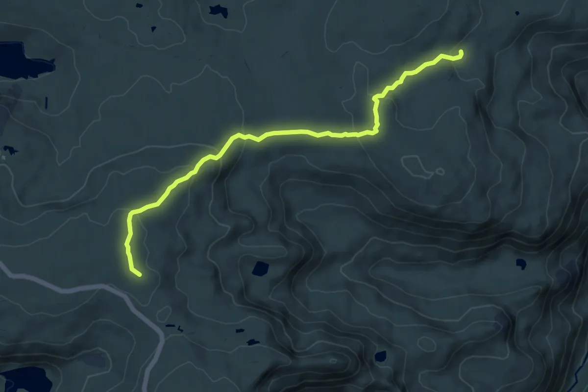
Demanding · Trail
Rota do Maciço Central - Derivação Nave da Mestra
9.0 km · ↑ 300 m · 2 h 46 min · 6 km away
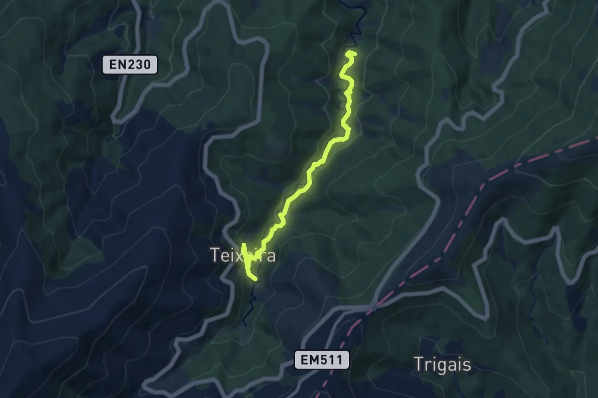
Medium · Trail
Rota da Missa
8.4 km · ↑ 261 m · 2 h 32 min · 6 km away
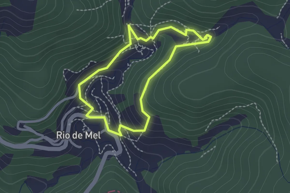
Easy · Trail
Rio de Mel upper Lavada trail
2.0 km · ↑ 101 m · 42 min · 7 km away
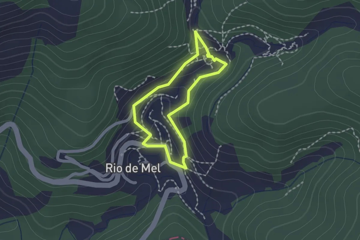
Easy · Trail
Rio de Mel lower Lavada trail
1.4 km · ↑ 64 m · 30 min · 7 km away
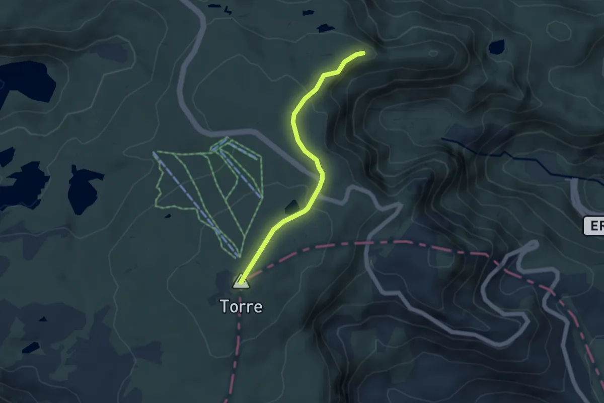
Easy · Summit
Rota do Maciço Central - Derivação Torre
4.1 km · ↑ 141 m · 1 h 17 min · 7 km away
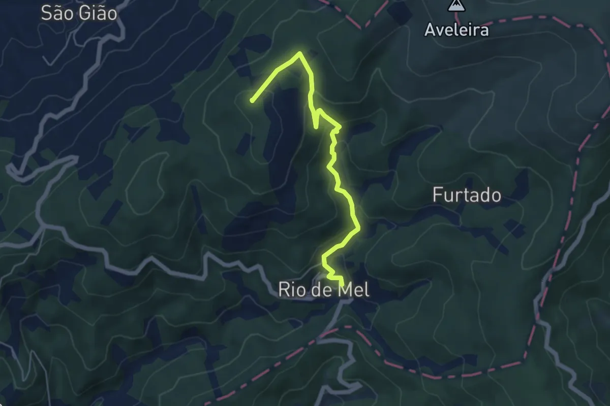
Easy · Summit
Rio de Mel to São Gião
5.2 km · ↑ 283 m · 1 h 51 min · 8 km away
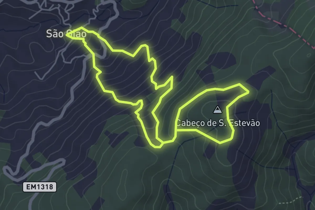
Medium · Summit
São Gião Cabeço de S. Estevão trail
5.1 km · ↑ 403 m · 2 h 8 min · 9 km away
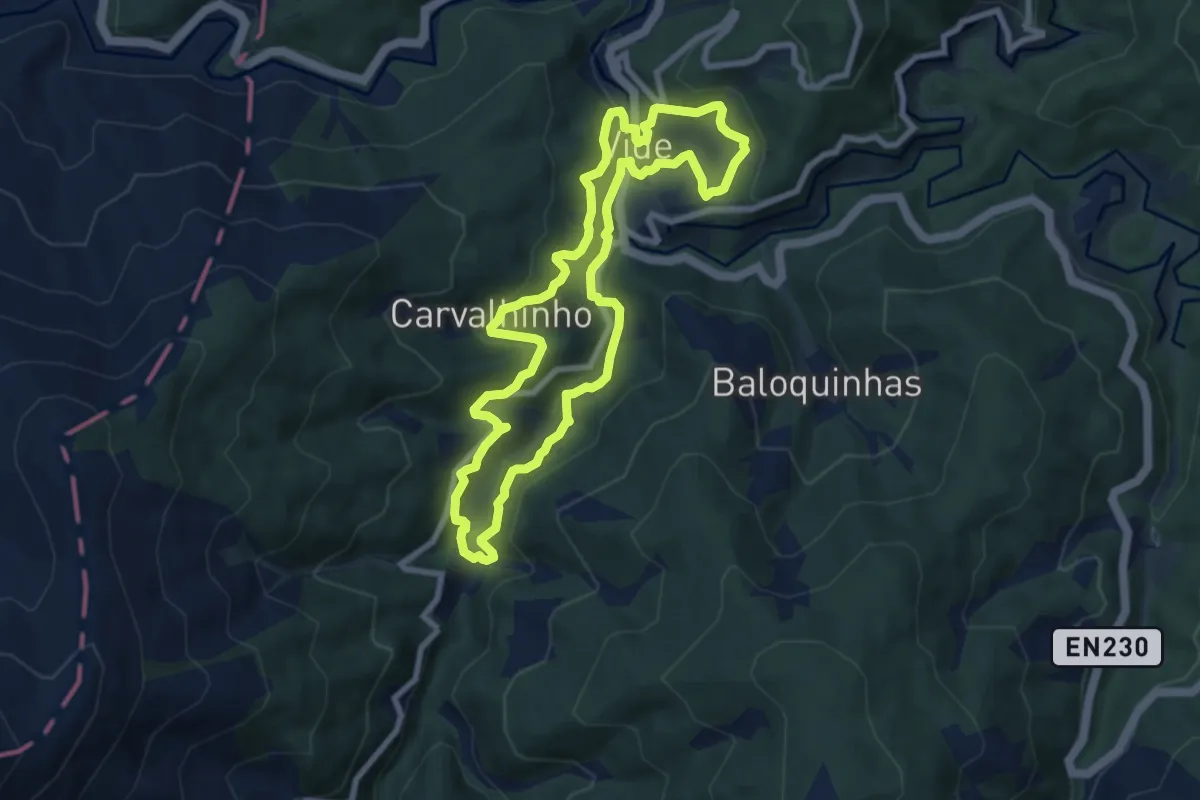
Medium · Trail
Rota dos Meandros (da Ribeira do Piódão)
8.2 km · ↑ 329 m · 2 h 46 min · 9 km away
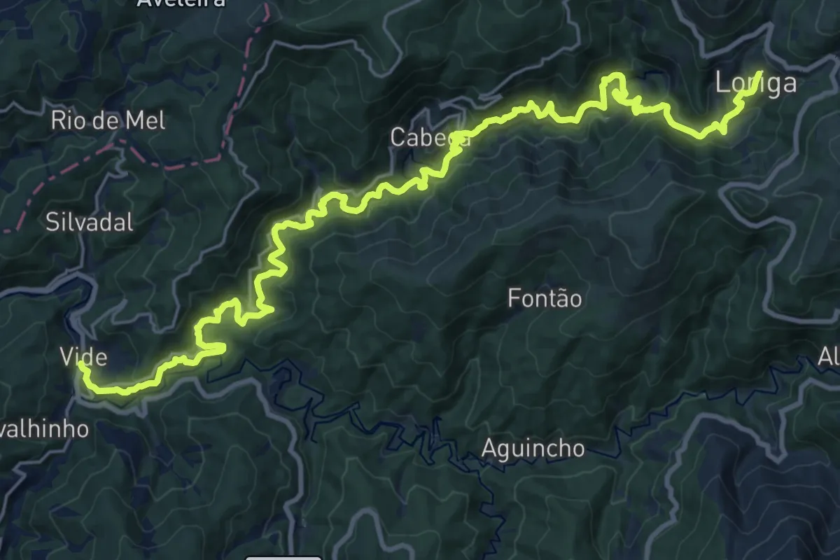
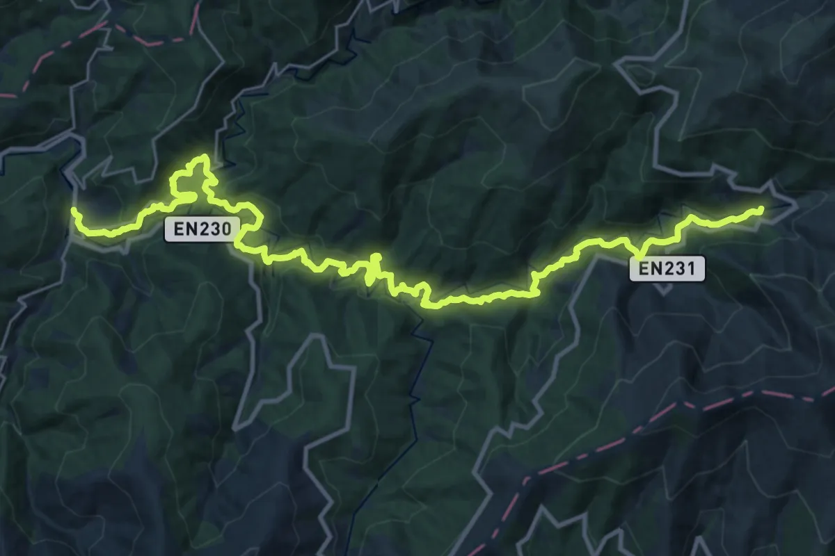
Demanding · Trail
Rota da Ribeira de Loriga
15.9 km · ↑ 1056 m · 6 h 3 min · 9 km away
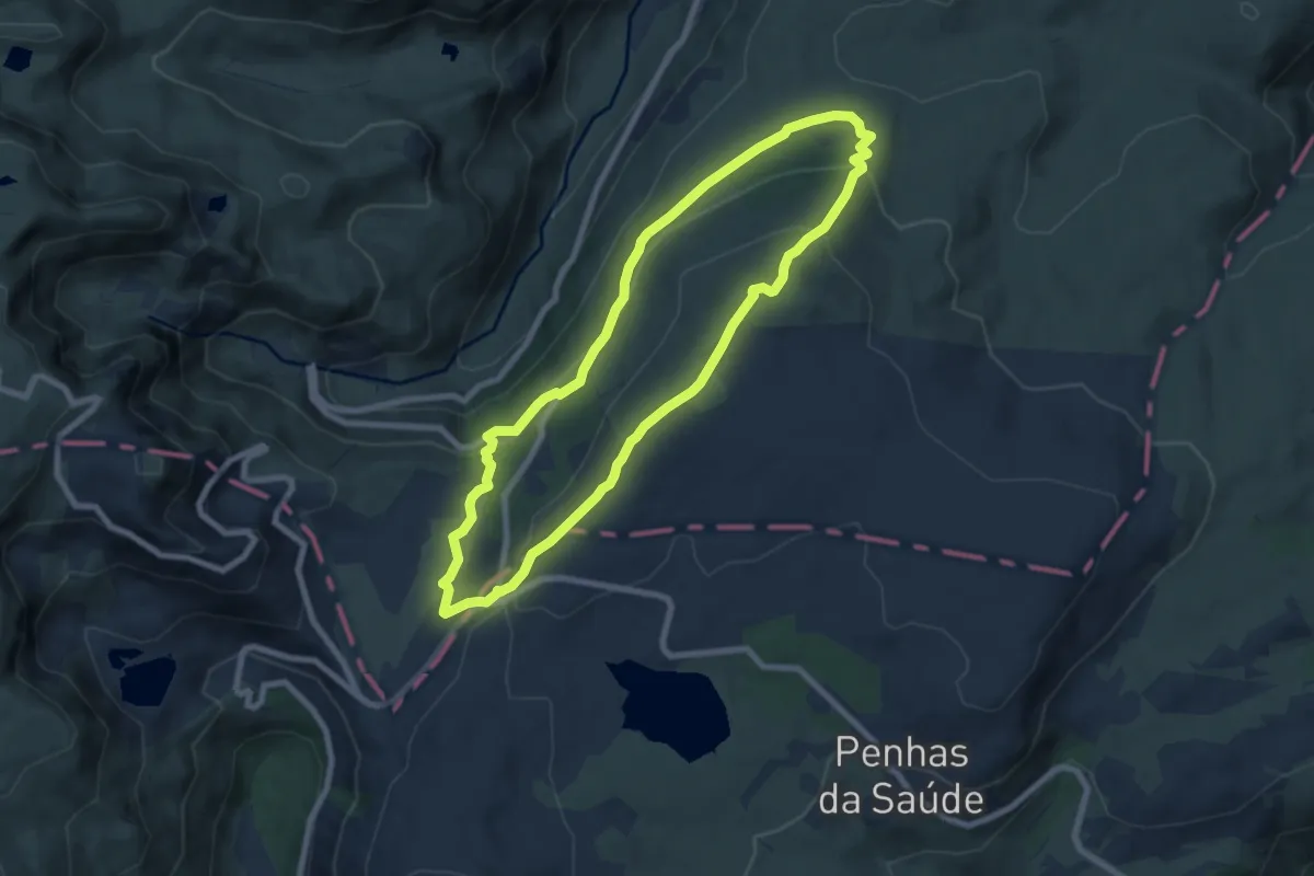
Demanding · Trail
Rota da Ribeira de Alvoco
17.0 km · ↑ 847 m · 5 h 53 min · 9 km away
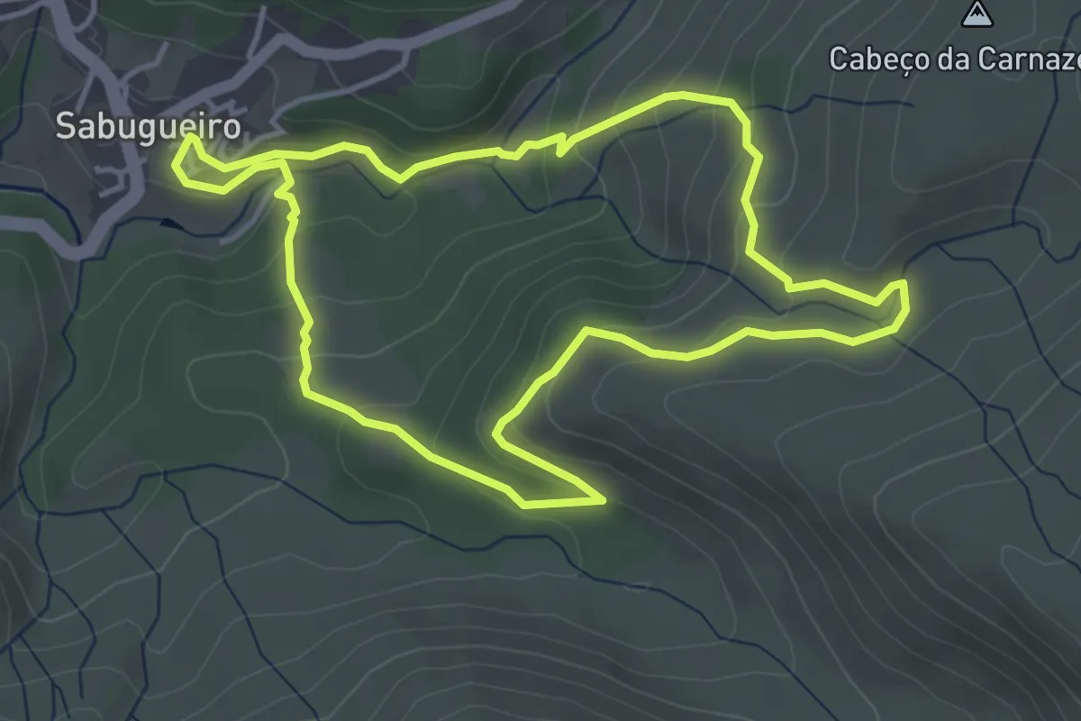
Easy · Summit
Rota dos Poios Brancos
8.0 km · ↑ 303 m · 2 h 39 min · 10 km away
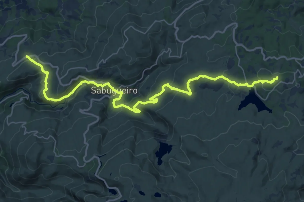
Easy · Trail
Rota da Fervença
4.5 km · ↑ 197 m · 1 h 33 min · 10 km away
Demanding · Summit
Senhora do Espinheiro - Sabugueiro - Penhas Douradas
28.0 km · ↑ 860 m · 8 h 29 min · 10 km away
Medium · Trail
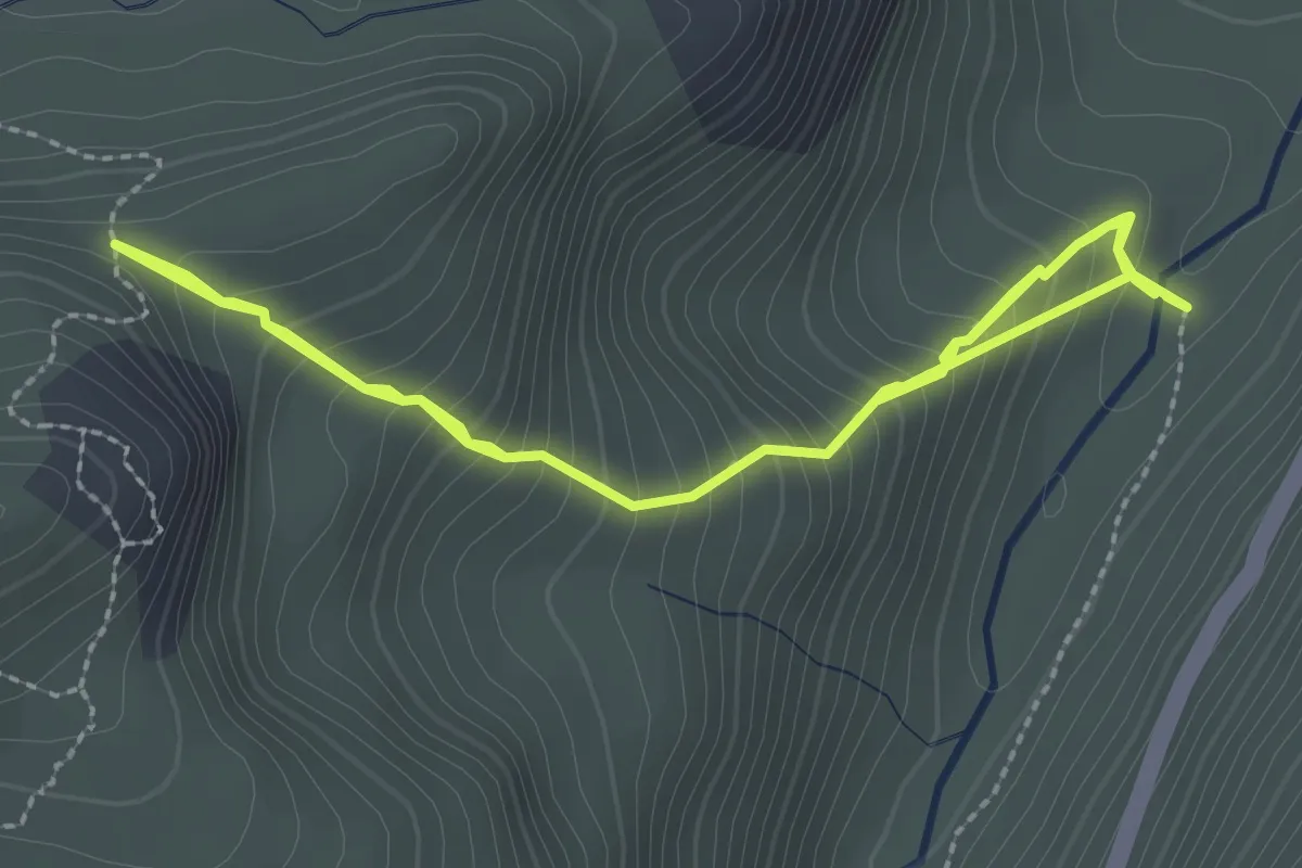
Rota do Maciço Central - Derivação Vale glaciar 1
4.7 km · ↑ 527 m · 2 h 15 min · 10 km away
Medium · Summit
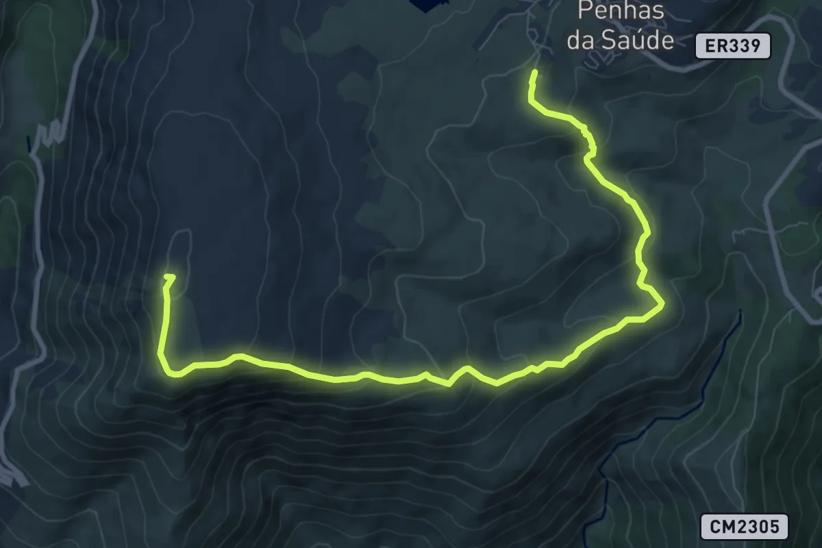
Rota da Varanda dos Pastores
11.4 km · ↑ 629 m · 4 h 4 min · 12 km away
Easy · Trail
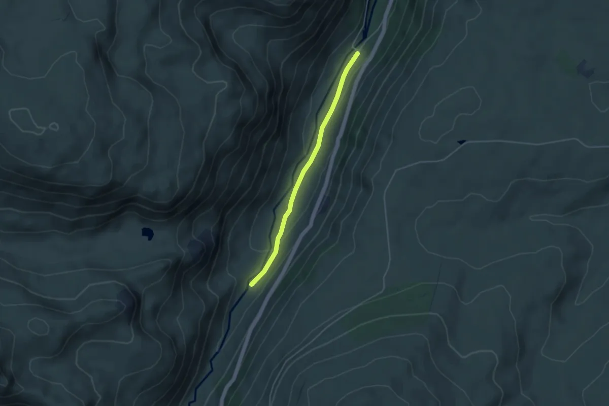
Estação da Biodiversidade do Vale do Zêzere
4.0 km · ↑ 94 m · 1 h 9 min · 12 km away
Easy · Trail
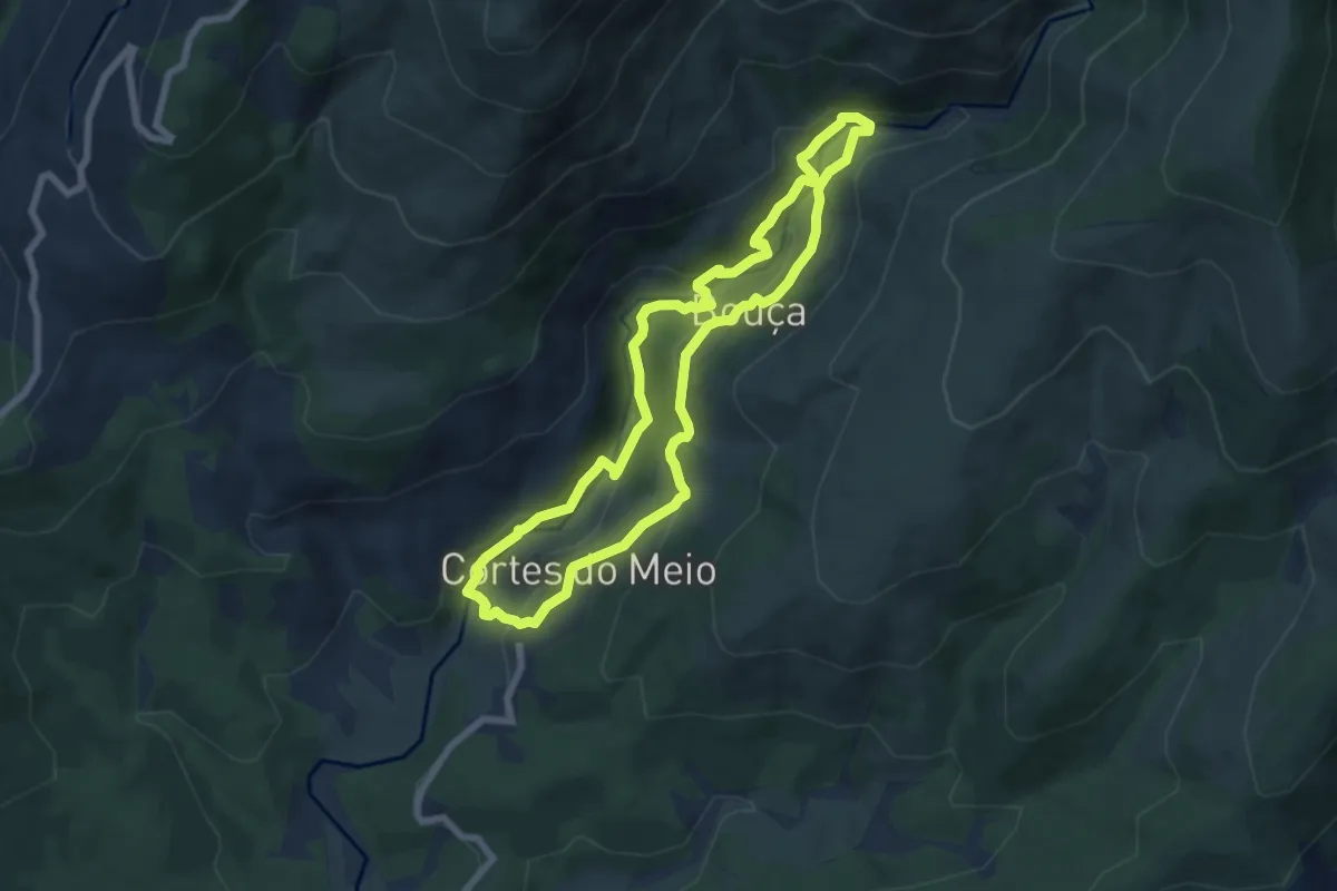
Rota das Pontes Cortes do Meio
7.4 km · ↑ 289 m · 2 h 28 min · 12 km away
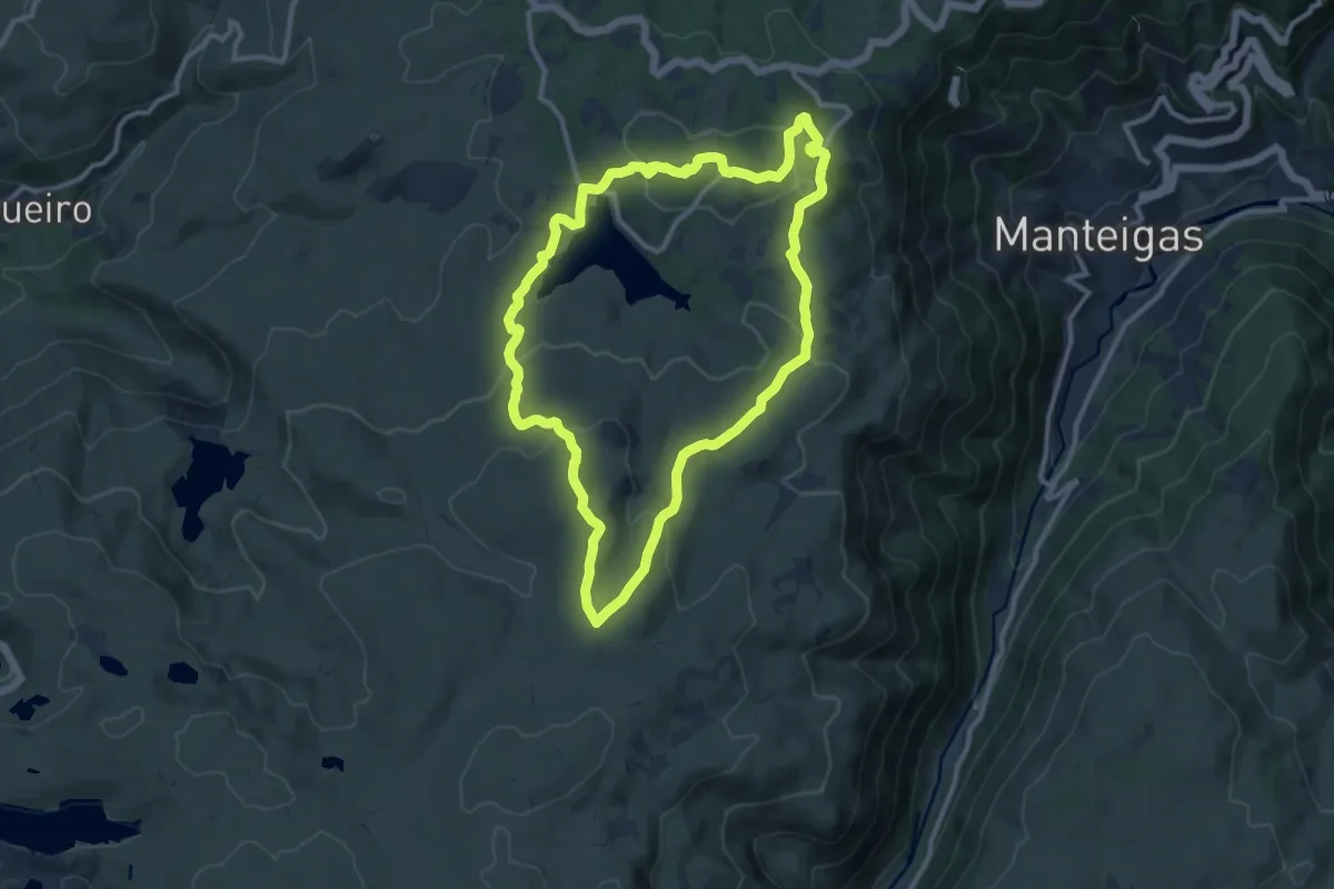
Medium · Summit
Fraga das Penhas
11.7 km · ↑ 319 m · 3 h 37 min · 12 km away
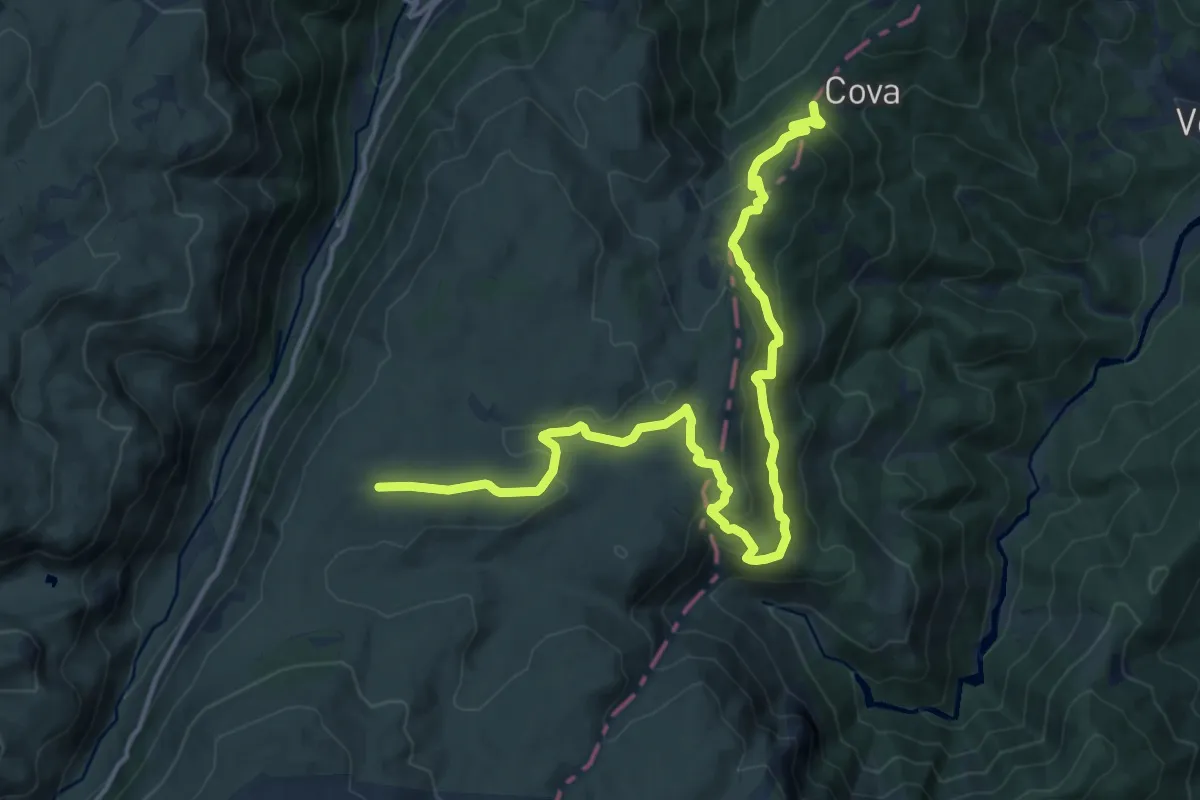
Demanding · Trail
Rota dos Poios Brancos - Derivação 2
19.1 km · ↑ 764 m · 6 h 10 min · 12 km away
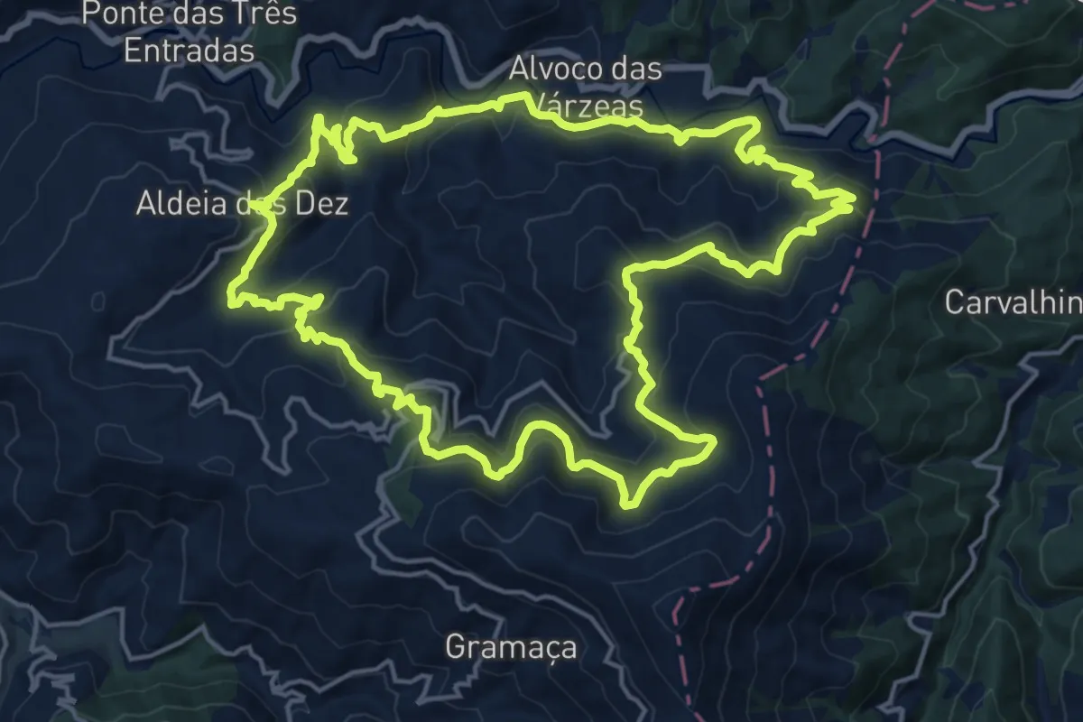
Demanding · Trail
Caminho do Xisto de Aldeia das Dez I – Pelas Várzeas do Alvôco
19.6 km · ↑ 982 m · 7 h 2 min · 12 km away
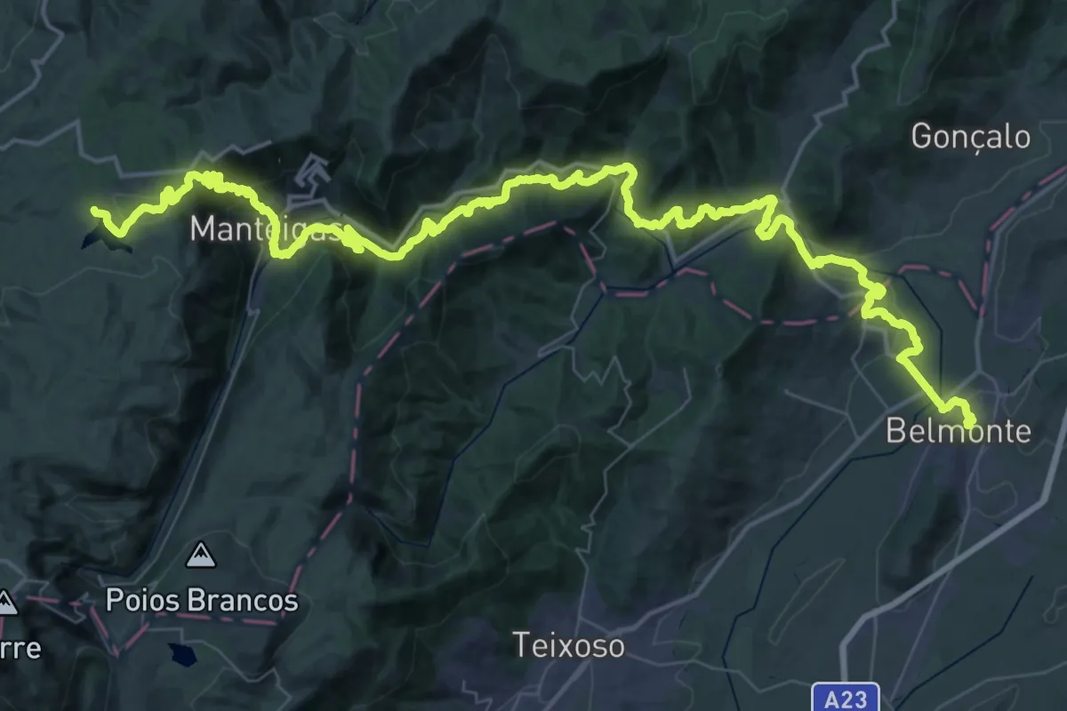
Demanding · Summit
Grande Rota das Aldeias Históricas - Variante
77.6 km · ↑ 2642 m · 24 h 3 min · 12 km away
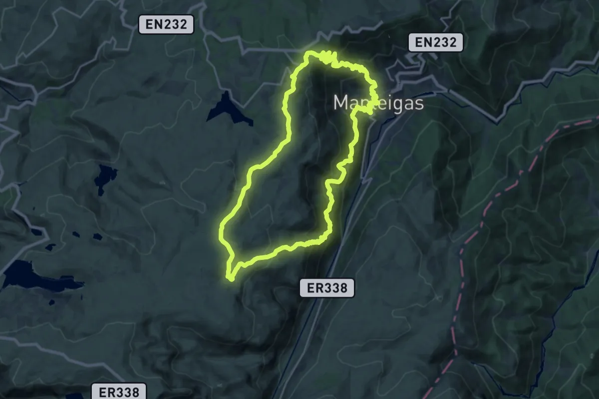
Demanding · Trail
Rota do Carvão
20.5 km · ↑ 1122 m · 7 h 33 min · 13 km away
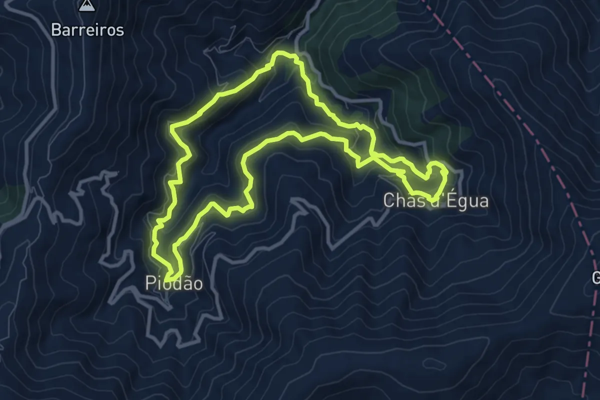
Medium · Trail
Trilho dos Povos das Ribeiras de Piodam
9.5 km · ↑ 608 m · 3 h 41 min · 14 km away
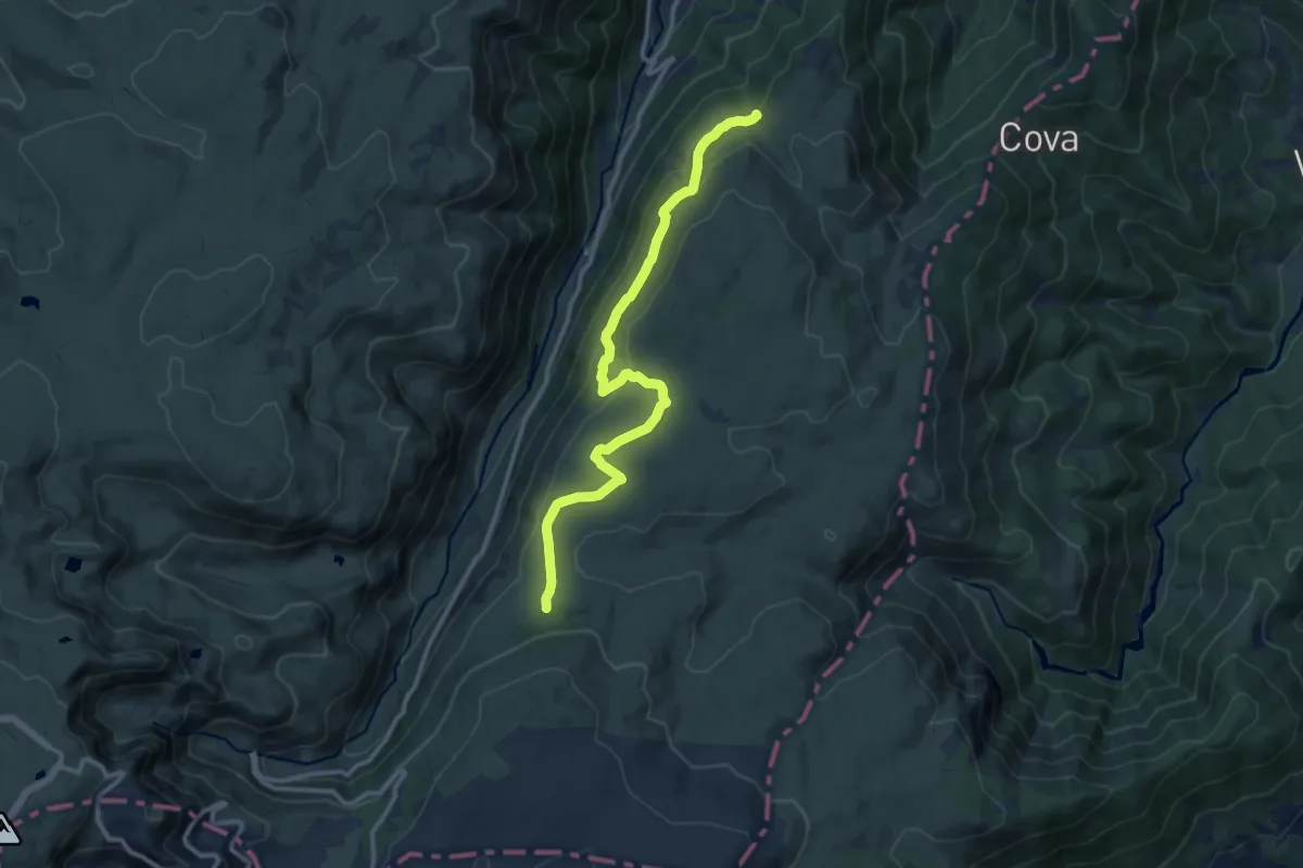
Medium · Trail
Rota dos Poios Brancos - Derivação 1
13.3 km · ↑ 327 m · 3 h 50 min · 15 km away
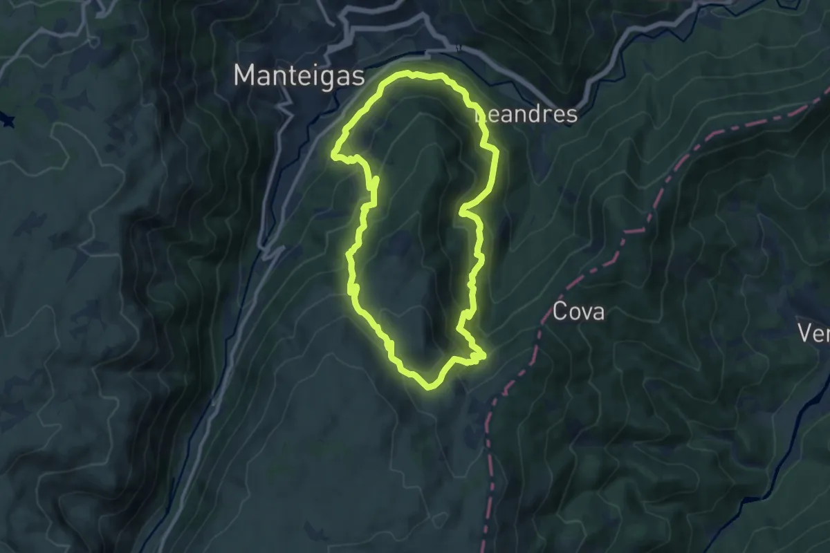
Demanding · Trail
Rota do Javali
10.7 km · ↑ 733 m · 4 h 17 min · 15 km away
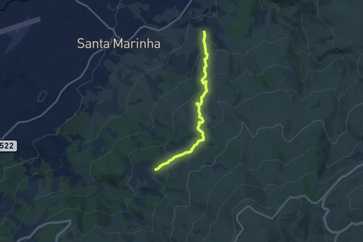
Medium · Trail
Trilho T2 (PNSE)
7.8 km · ↑ 346 m · 2 h 35 min · 15 km away
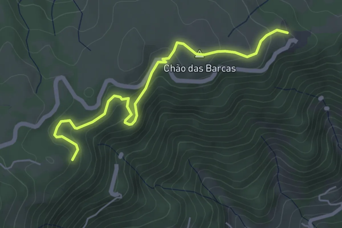
Easy · Trail
Rota do Covão de Santa Maria - Derivação
5.5 km · ↑ 211 m · 1 h 45 min · 15 km away