Trails near Oeiras
46 hikes starting within 15 km, nearest first.
Nearest first
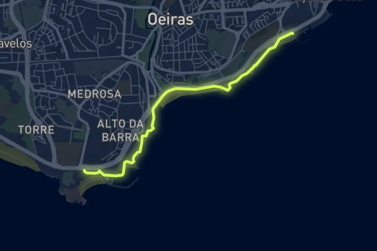
Easy · Trail
Passeio Marítimo de Oeiras
7.1 km · ↑ 47 m · 1 h 46 min · 1 km away
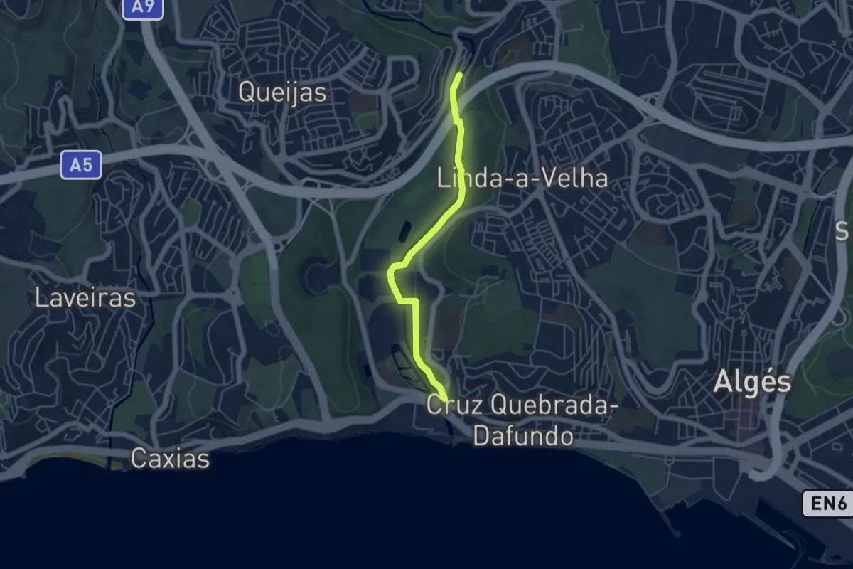
Easy · Trail
Eixo Verde e Azul
5.0 km · ↑ 43 m · 1 h 16 min · 5 km away
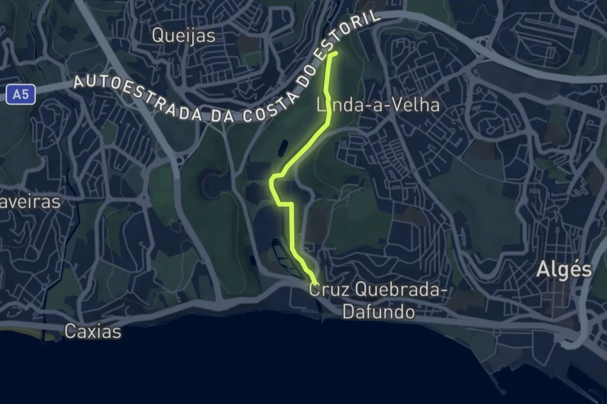
Easy · Trail
Estação de Biodiversidade do Jamor
4.5 km · ↑ 42 m · 1 h 9 min · 5 km away
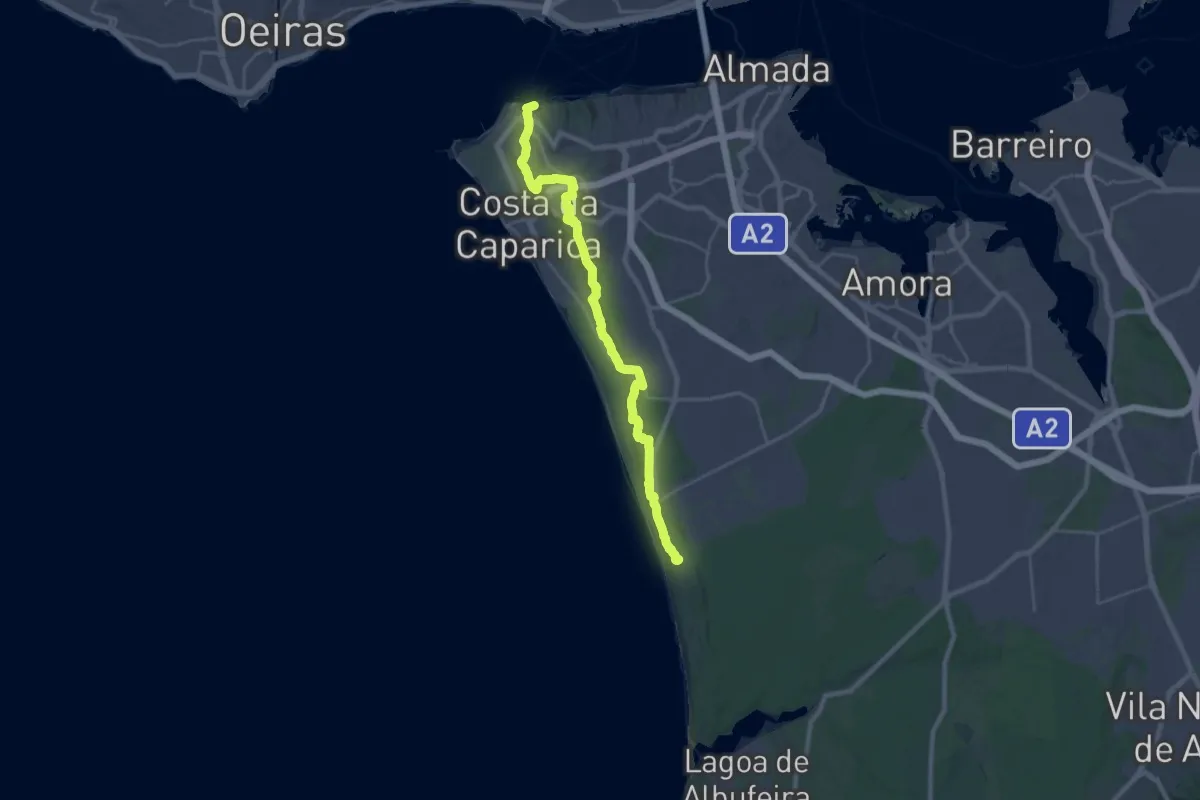
Medium · Trail
Caminho do Atlântico (Troço Trafaria-Adiça)
17.1 km · ↑ 331 m · 4 h 57 min · 7 km away
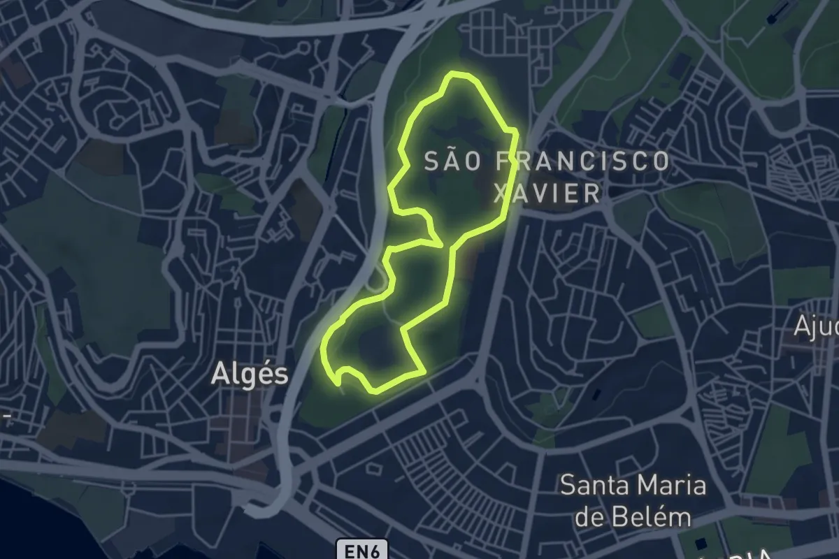
Easy · Trail
Alto do Duque
4.2 km · ↑ 106 m · 1 h 17 min · 8 km away
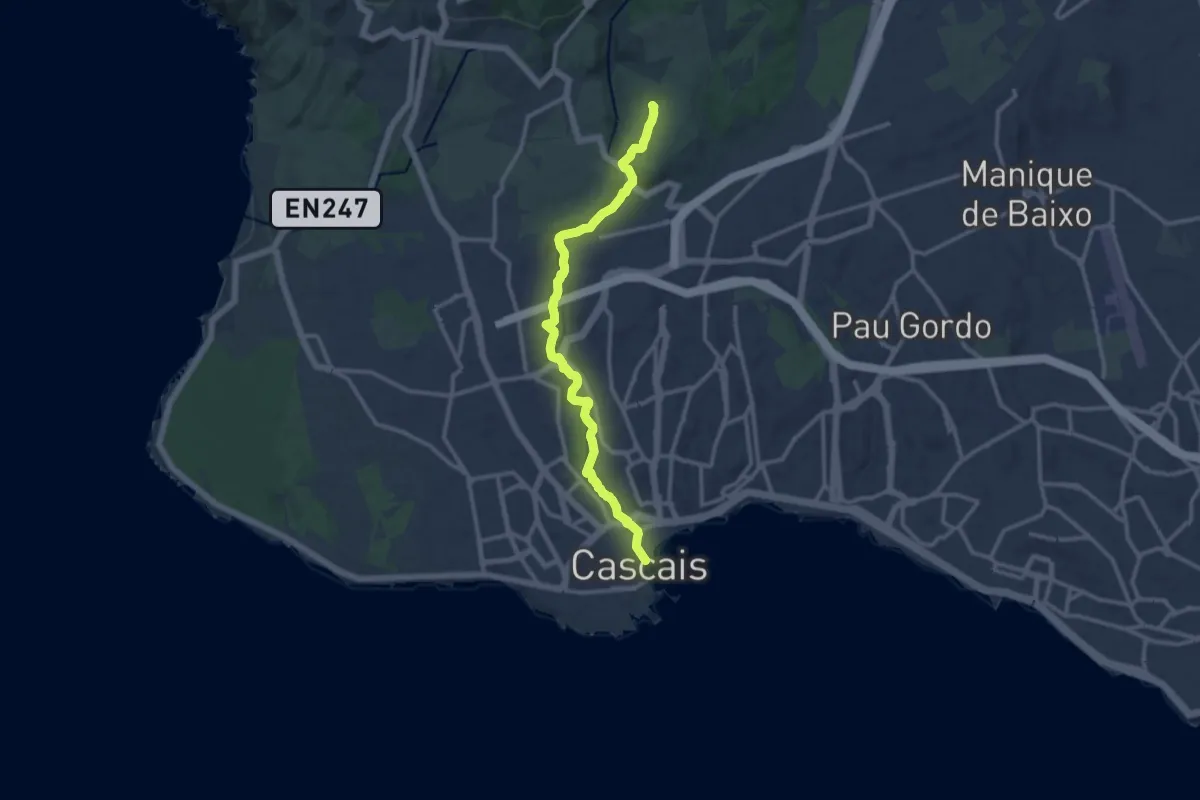
Demanding · Trail
Trilho das Vinhas
14.1 km · ↑ 281 m · 3 h 56 min · 9 km away
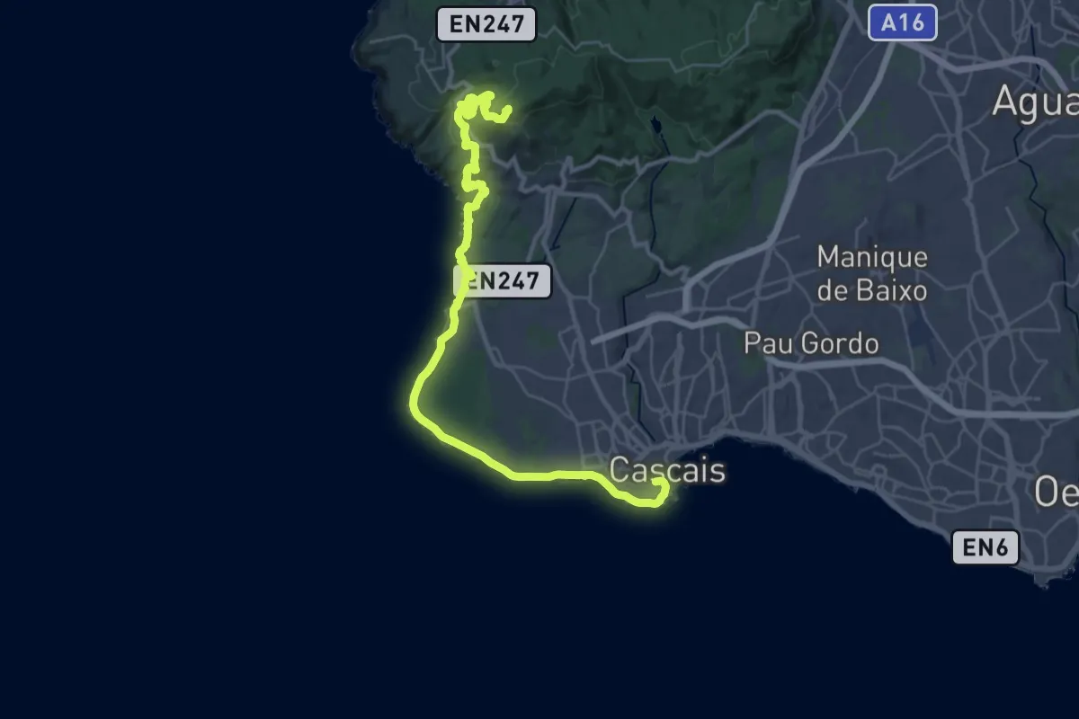
Demanding · Summit
Rota do Ocidente - Etapa 3
37.1 km · ↑ 808 m · 10 h 31 min · 10 km away
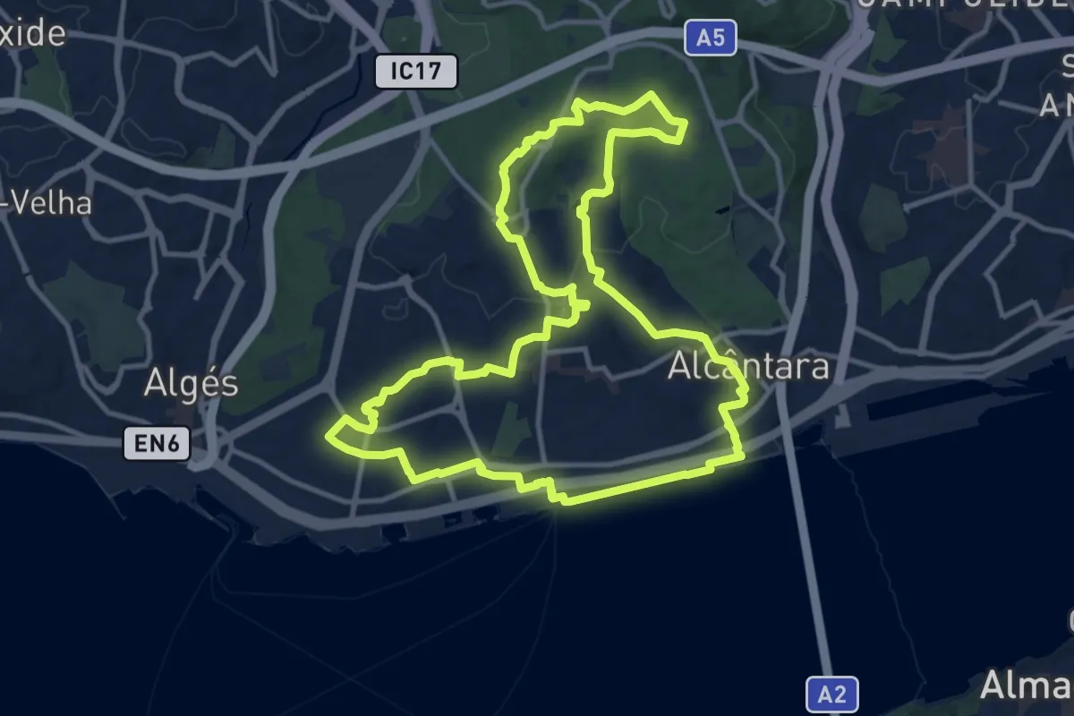
Medium · Trail
Rota da Biodiversidade
14.1 km · ↑ 210 m · 3 h 59 min · 10 km away
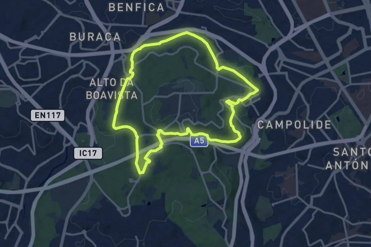
Medium · Trail
Pista de Corrida
10.5 km · ↑ 197 m · 3 h 3 min · 10 km away
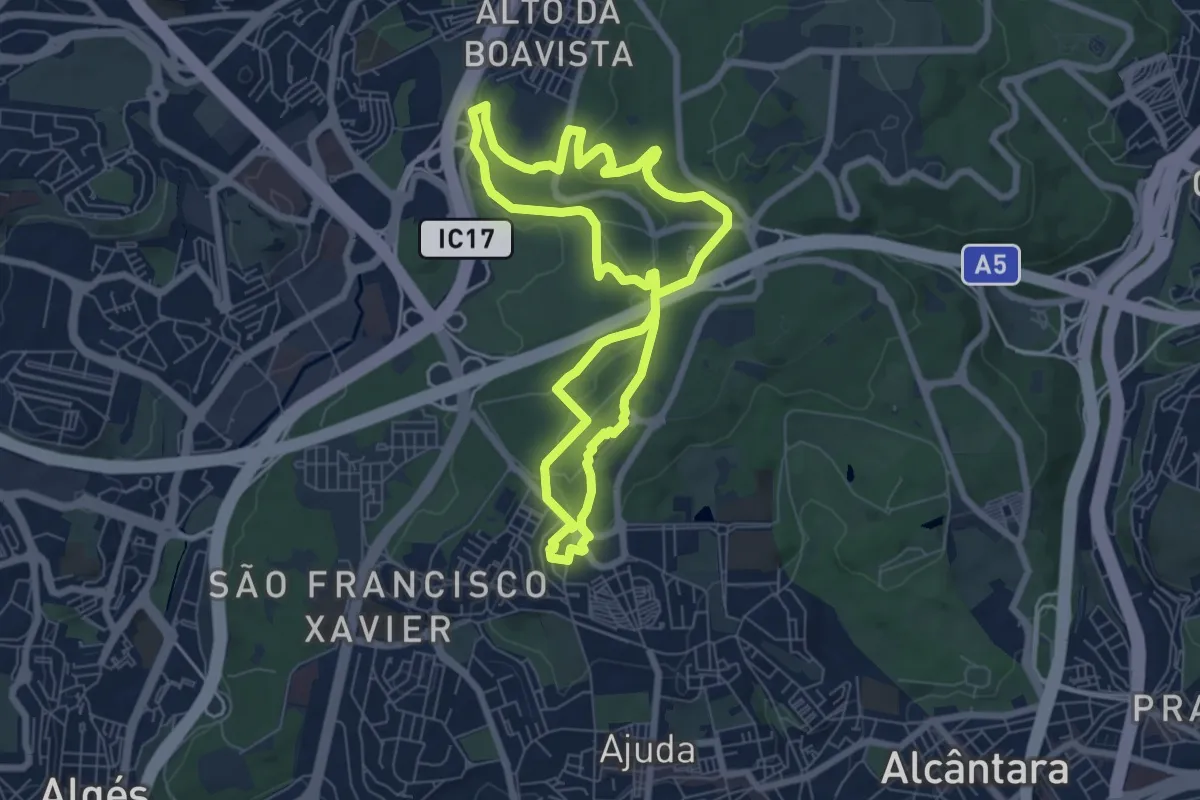
Medium · Trail
Campismo - Chaminés d'El Rei
7.6 km · ↑ 141 m · 2 h 12 min · 10 km away
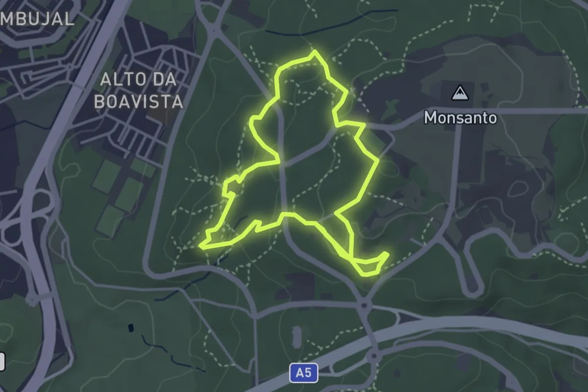
Easy · Trail
Moinhos do Mocho
3.8 km · ↑ 79 m · 1 h 8 min · 11 km away
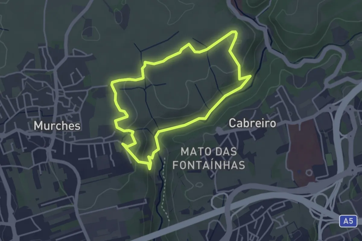
Easy · Trail
Trilho do Marmeleiro
3.8 km · ↑ 79 m · 1 h 8 min · 11 km away
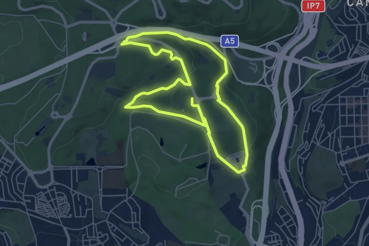
Easy · Trail
Encosta da Pimenteira - Alcântara
5.8 km · ↑ 131 m · 1 h 44 min · 11 km away
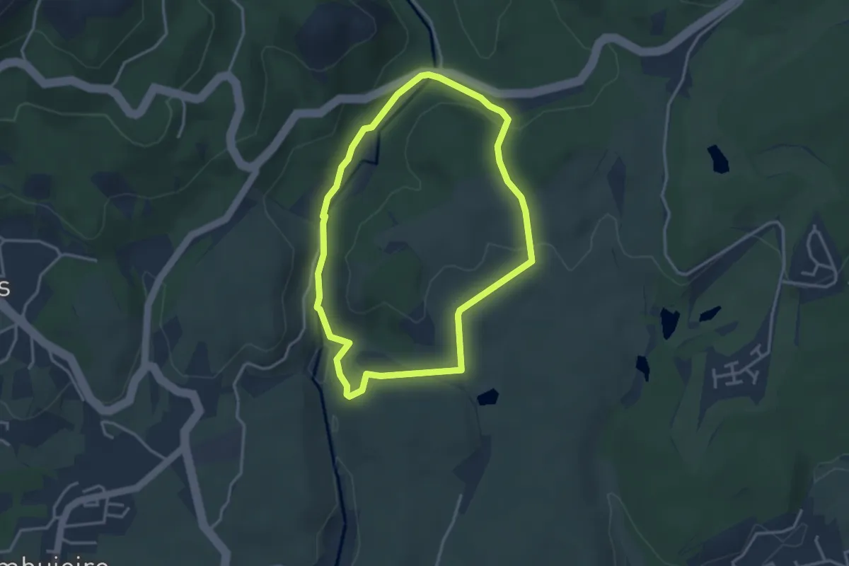
Easy · Trail
Trilho do Pisão
3.4 km · ↑ 75 m · 1 h 1 min · 12 km away
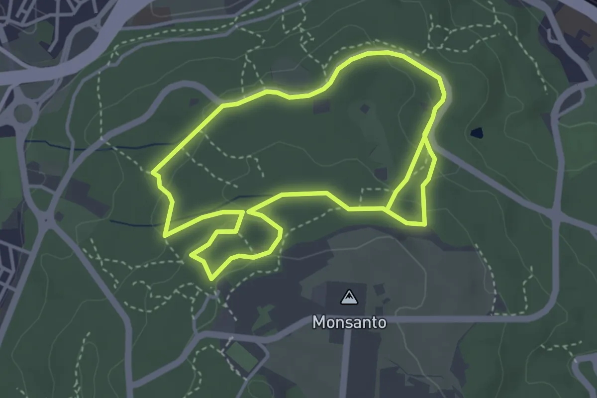
Medium · Trail
Seis Pedreiras
3.9 km · ↑ 75 m · 1 h 10 min · 12 km away
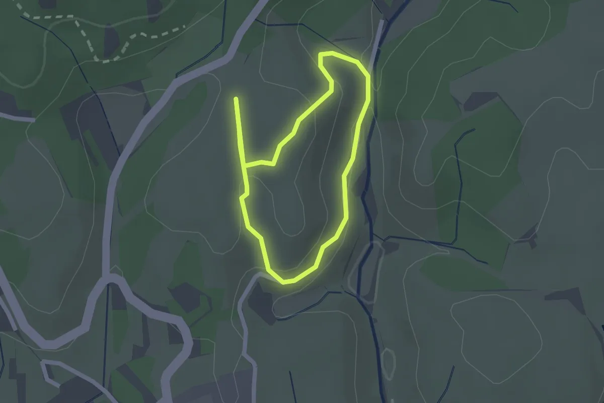
Easy · Trail
Trilho do Alto do Mato
1.8 km · ↑ 61 m · 35 min · 12 km away
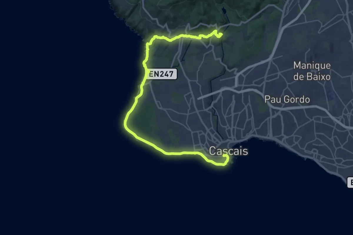
Medium · Trail
Rota do Ocidente - Etapa 1
17.3 km · ↑ 198 m · 4 h 48 min · 12 km away
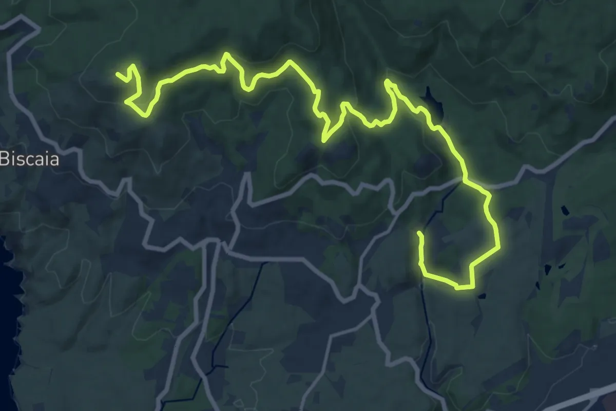
Demanding · Summit
Rota do Ocidente - Etapa 2
19.7 km · ↑ 698 m · 6 h 9 min · 12 km away
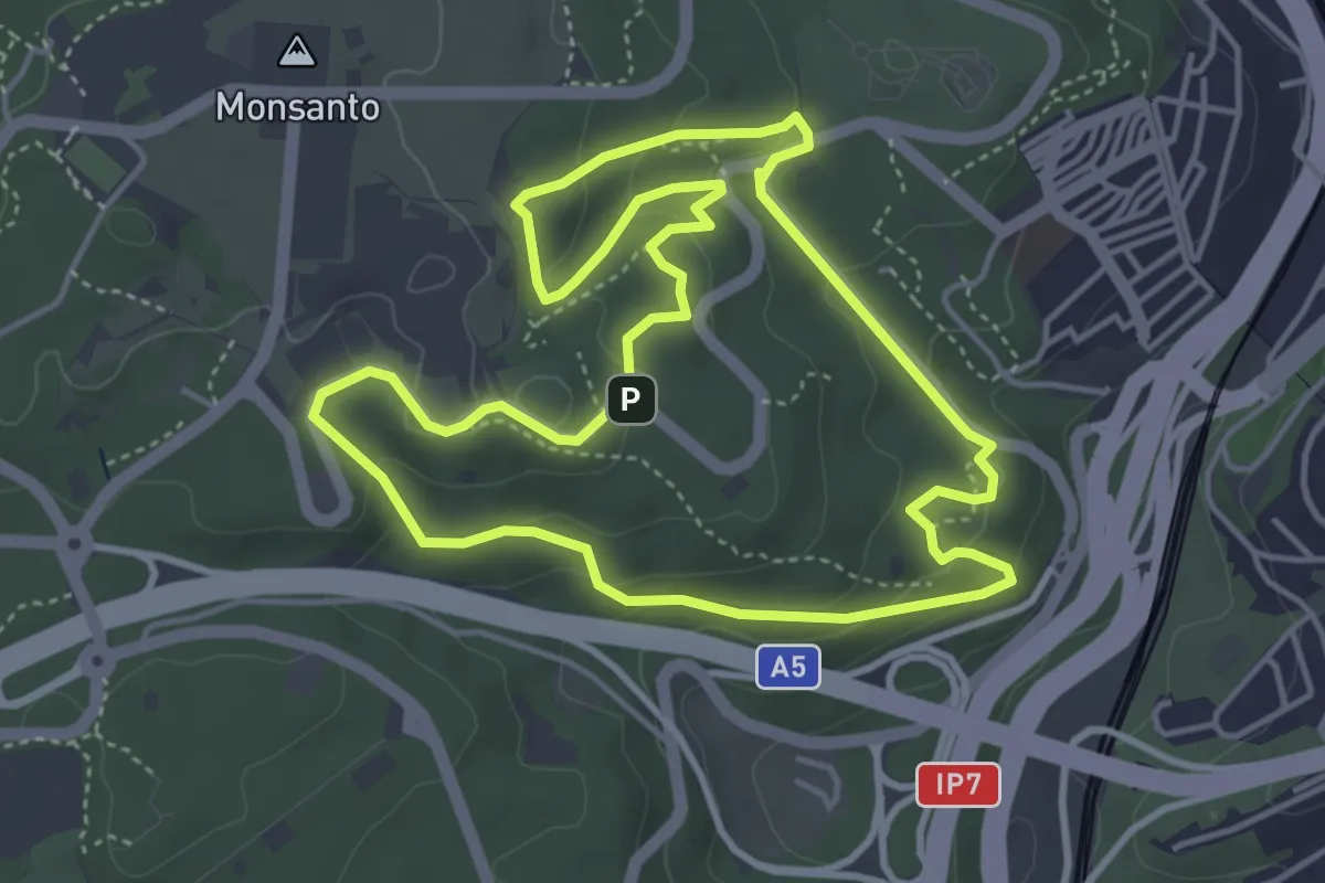
Easy · Trail
Vila Pouca - Bela Vista
5.2 km · ↑ 202 m · 1 h 44 min · 12 km away
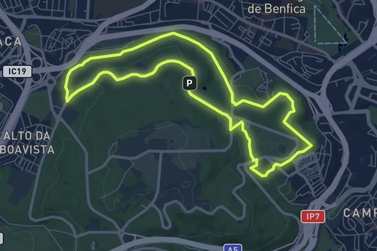
Expert · Trail
Rota da Água
7.4 km · ↑ 118 m · 2 h 7 min · 12 km away
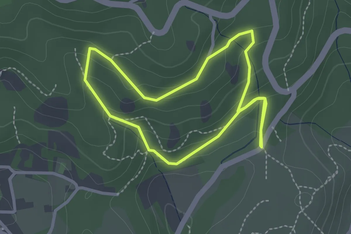
Easy · Trail
Trilho de Vale de Cavalos
2.4 km · ↑ 102 m · 49 min · 13 km away
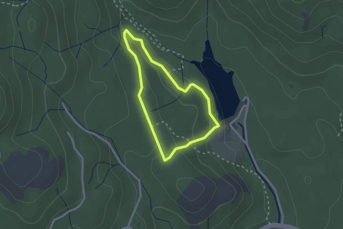
Easy · Trail
Trilho do Ribeiro da Mula
1.9 km · ↑ 67 m · 37 min · 13 km away
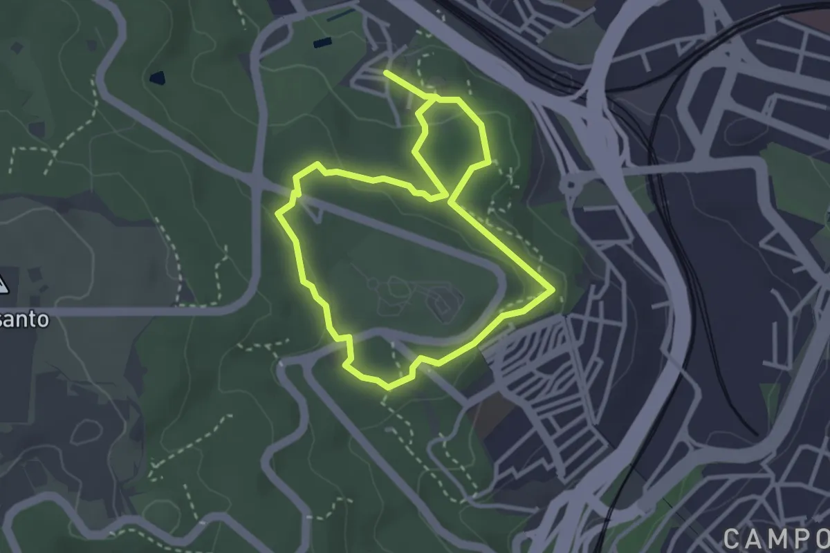
Easy · Trail
Montado de Monsanto
3.0 km · ↑ 63 m · 53 min · 13 km away
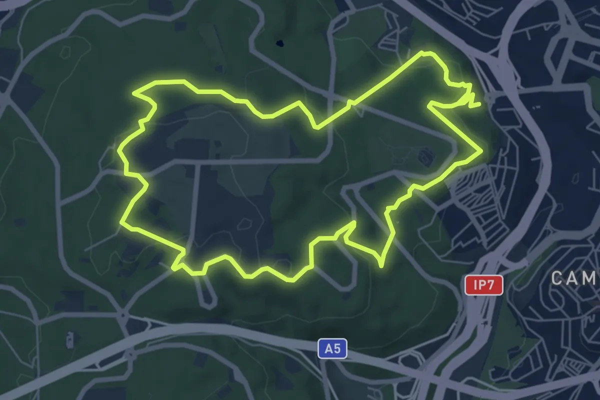
Expert · Trail
Volta do Planalto
7.0 km · ↑ 169 m · 2 h 7 min · 13 km away
Medium · Summit
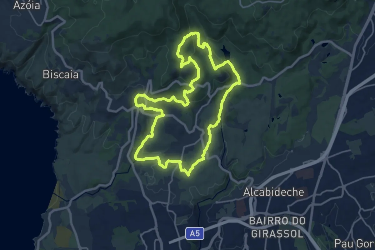
Rota das Quintas
14.8 km · ↑ 428 m · 4 h 38 min · 13 km away
Easy · Trail
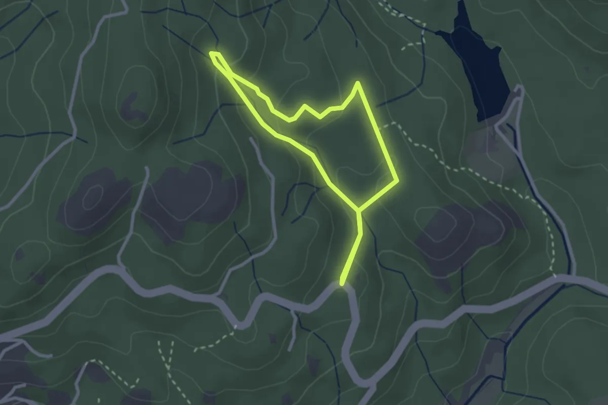
Trilho do Cabeço da Raposa
2.5 km · ↑ 116 m · 53 min · 13 km away
Easy · Trail
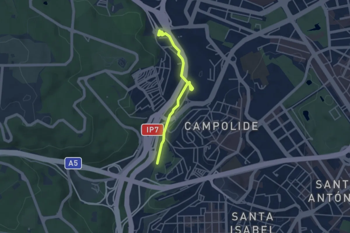
Corredor Verde do Vale de Alcântara
3.6 km · ↑ 75 m · 1 h 1 min · 13 km away
Easy · Trail
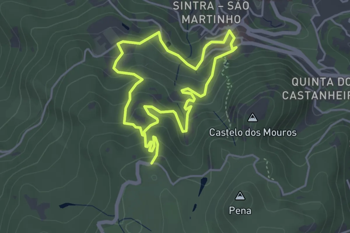
Seteais
3.8 km · ↑ 245 m · 1 h 28 min · 13 km away
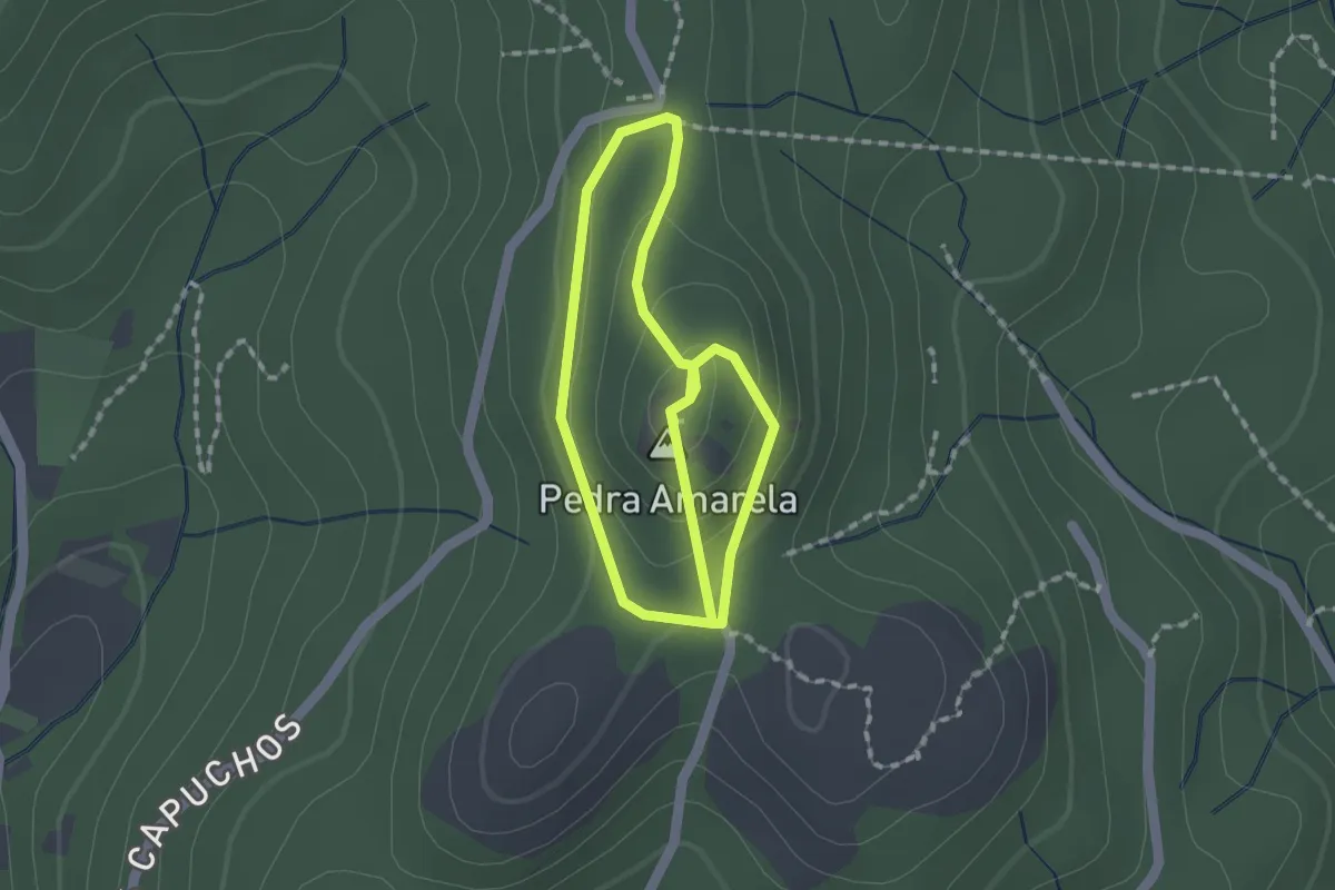
Easy · Summit
Trilho da Pedra Amarela
1.6 km · ↑ 58 m · 31 min · 13 km away
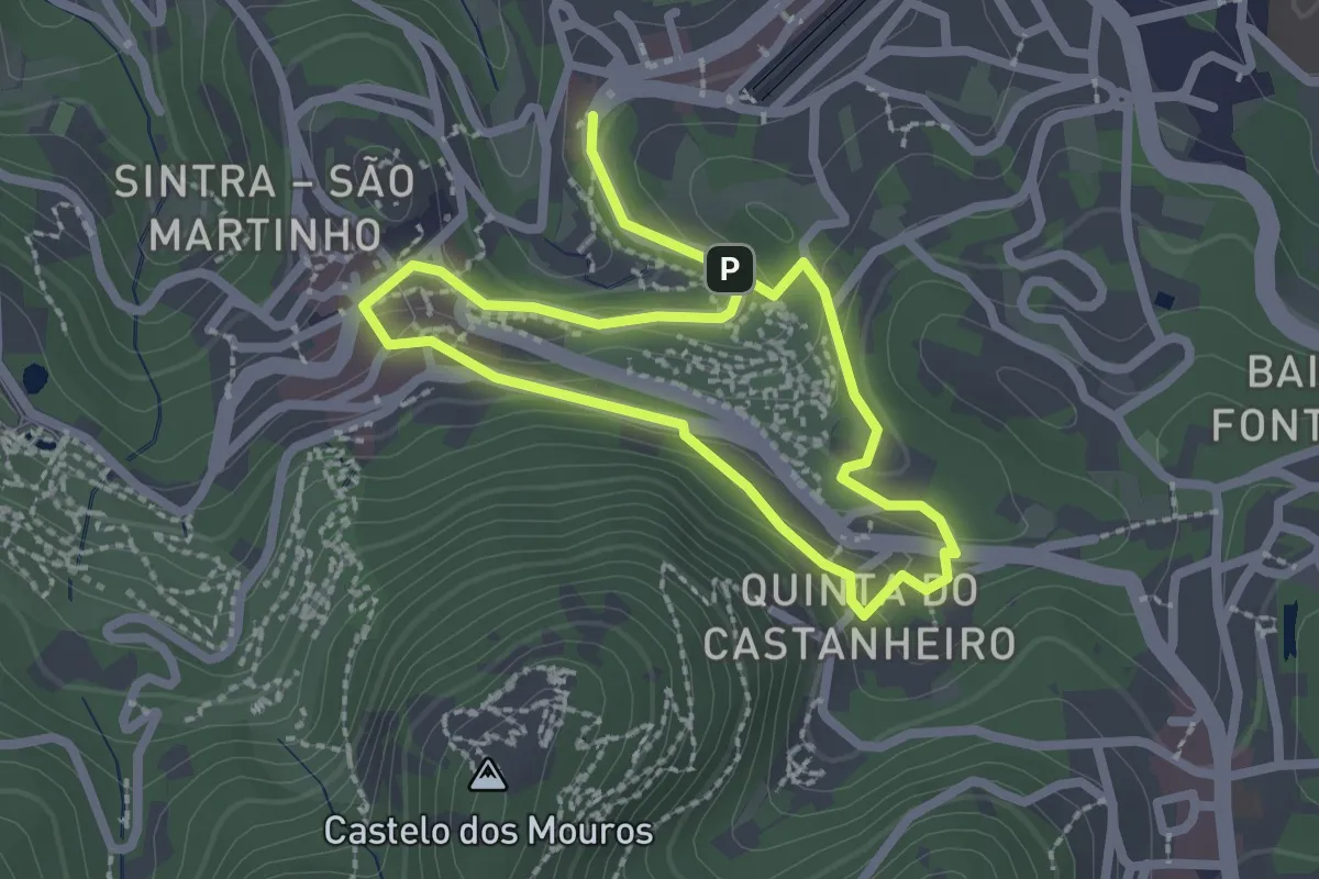
Easy · Trail
Santa Maria
2.1 km · ↑ 91 m · 44 min · 13 km away
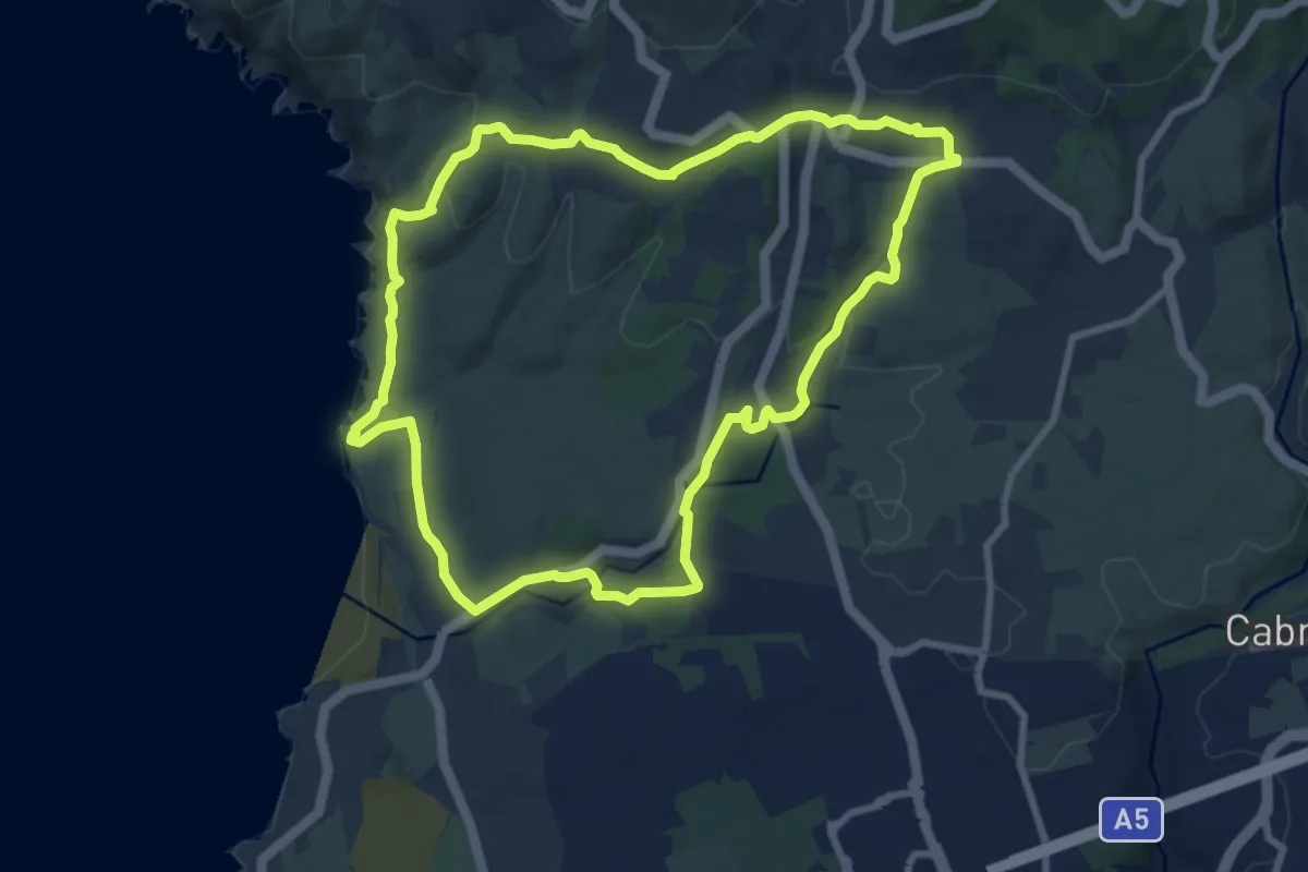
Medium · Trail
Rota do Litoral do Guincho
9.6 km · ↑ 220 m · 2 h 52 min · 13 km away
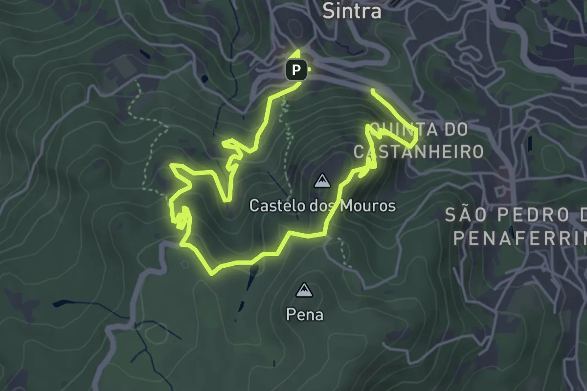
Easy · Summit
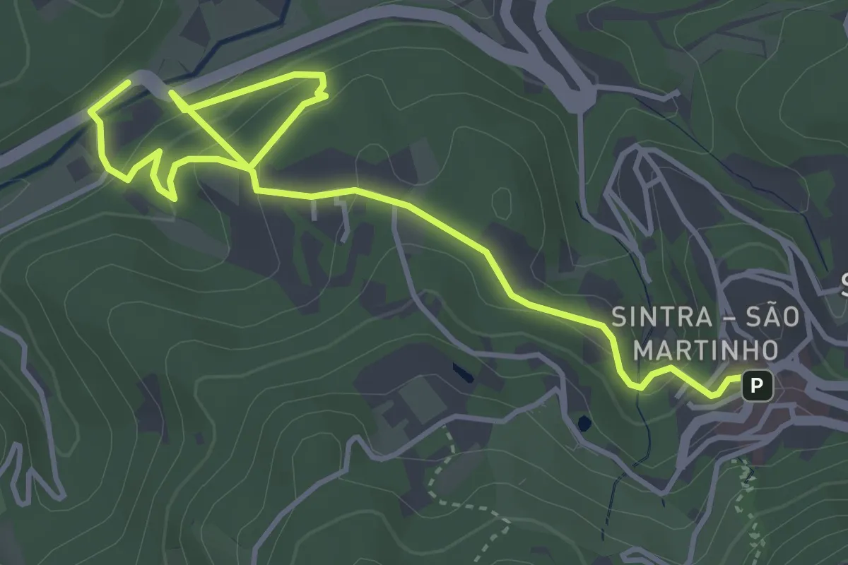
Castelo
4.3 km · ↑ 261 m · 1 h 37 min · 13 km away
Easy · Trail
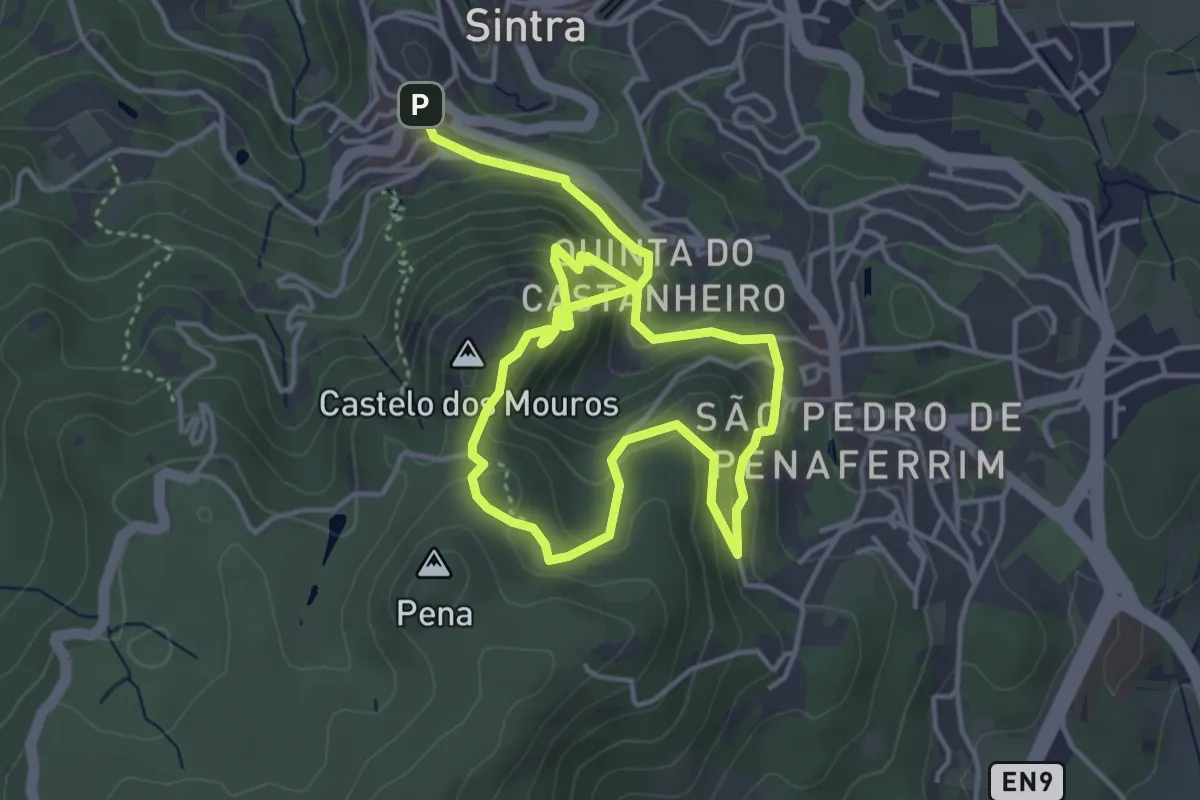
Quintas
2.9 km · ↑ 72 m · 57 min · 13 km away
Easy · Summit
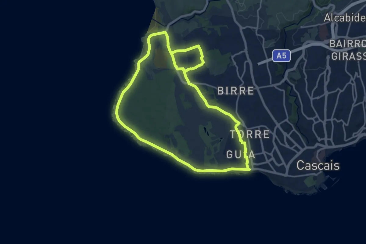
Pena
3.9 km · ↑ 315 m · 1 h 35 min · 13 km away
Medium · Trail
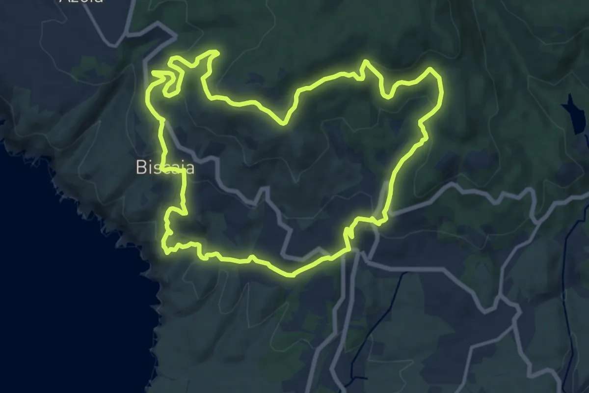
Rota do Cabo Raso
14.2 km · ↑ 90 m · 3 h 45 min · 13 km away
Medium · Trail
Rota das Aldeias
12.9 km · ↑ 502 m · 4 h 18 min · 14 km away
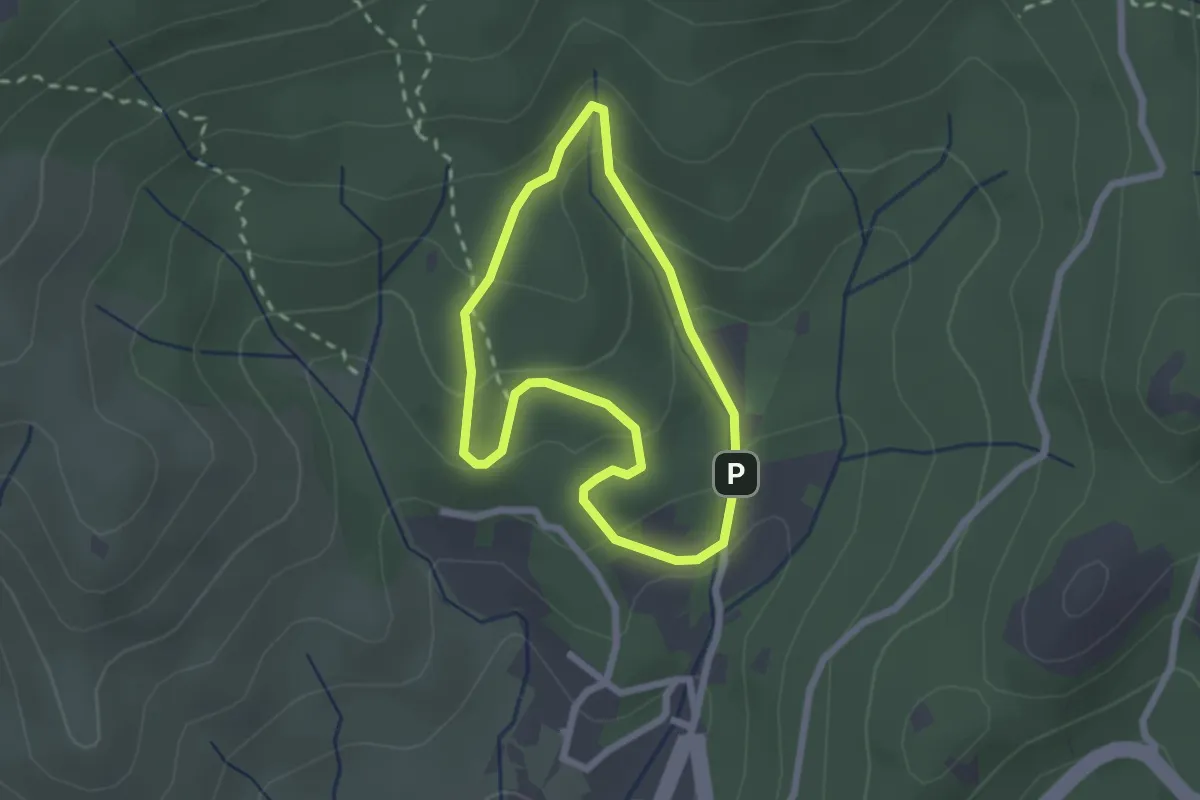
Easy · Trail
Trilho das Fontaínhas
2.1 km · ↑ 115 m · 47 min · 14 km away
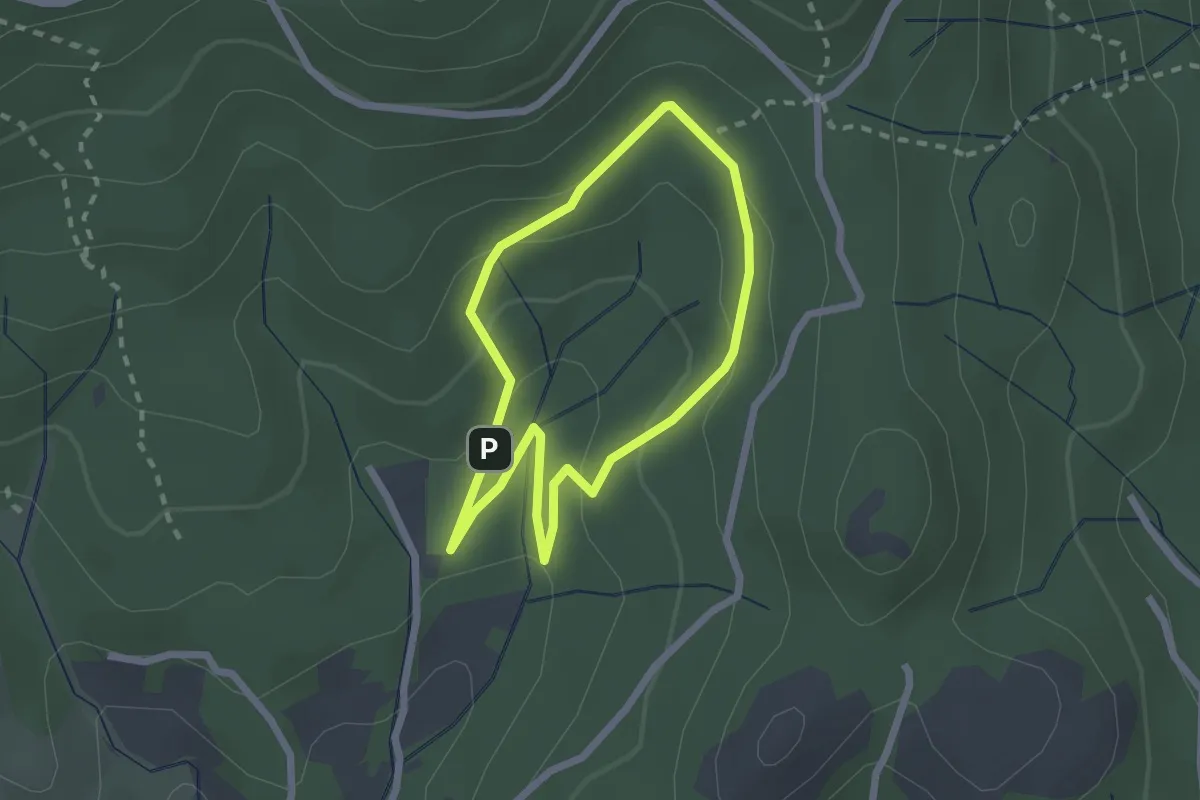
Easy · Trail
Trilho da Tapada da Urzeira
2.1 km · ↑ 91 m · 44 min · 14 km away
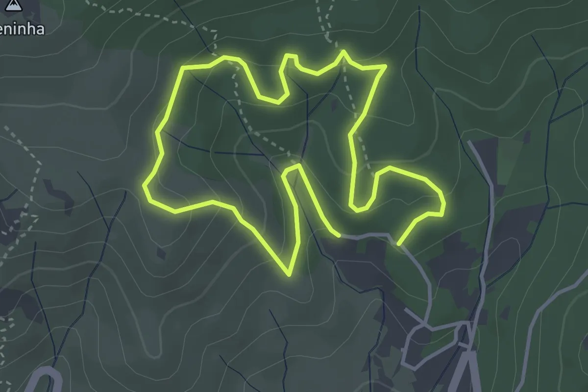
Easy · Trail
Trilho da Tapada da Roçada
3.5 km · ↑ 168 m · 1 h 14 min · 14 km away
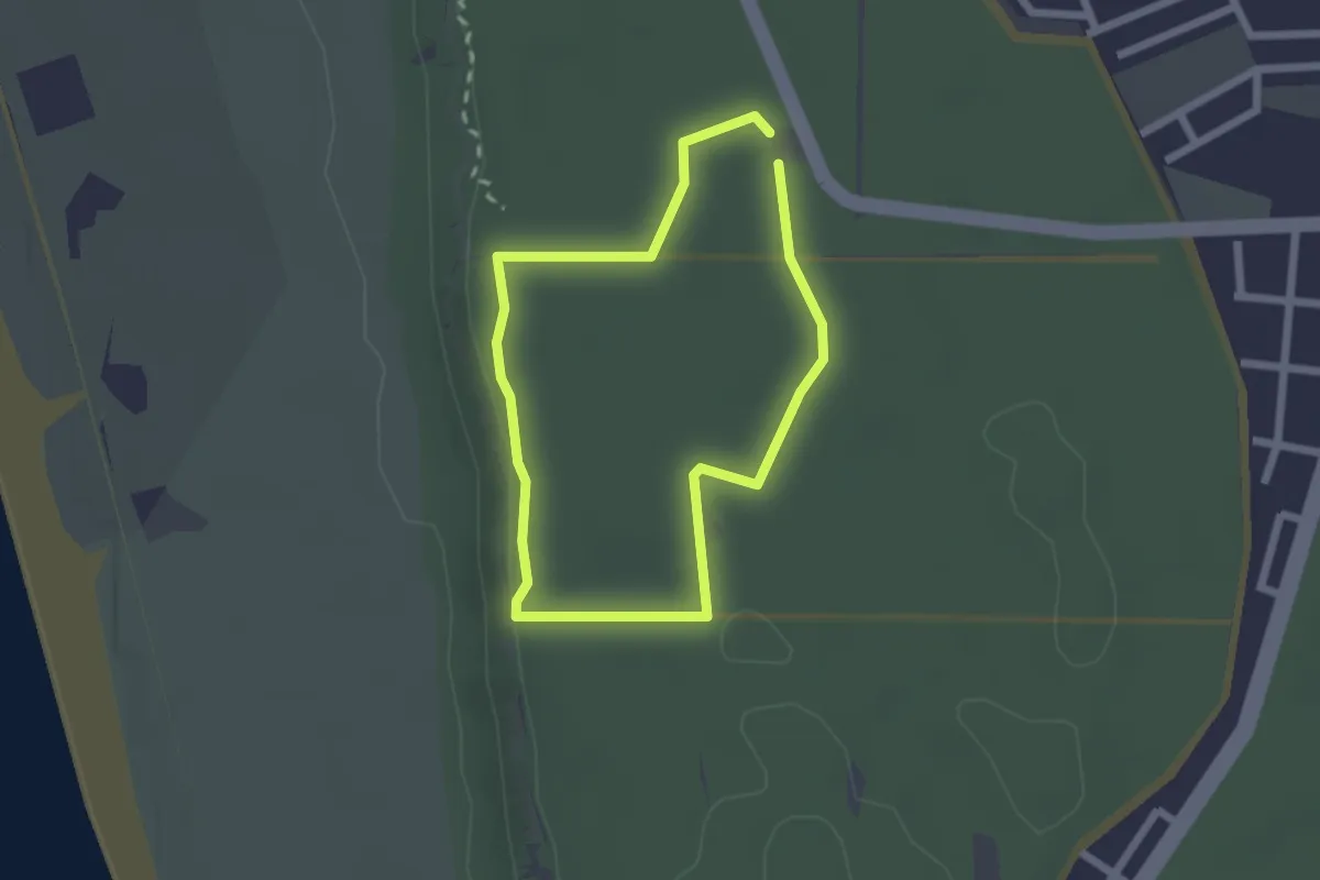
Easy · Trail
Percurso Azul da Mata dos Medos
2.1 km · ↑ 28 m · 35 min · 14 km away
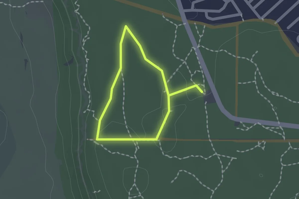
Easy · Trail
Percurso Verde da Mata dos Medos
1.3 km · ↑ 15 m · 21 min · 14 km away
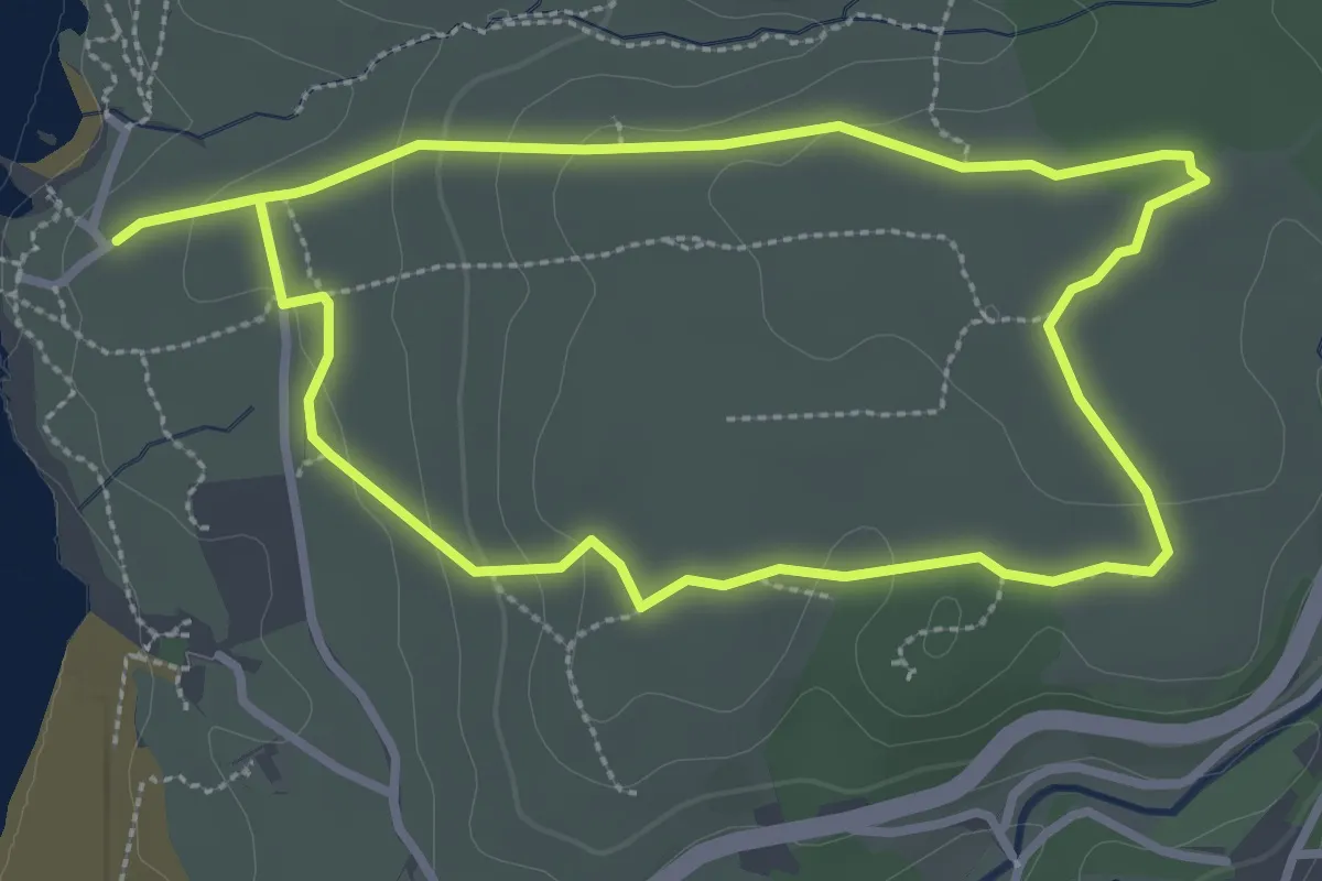
Easy · Trail
Trilho do Barril
3.4 km · ↑ 69 m · 1 h · 15 km away
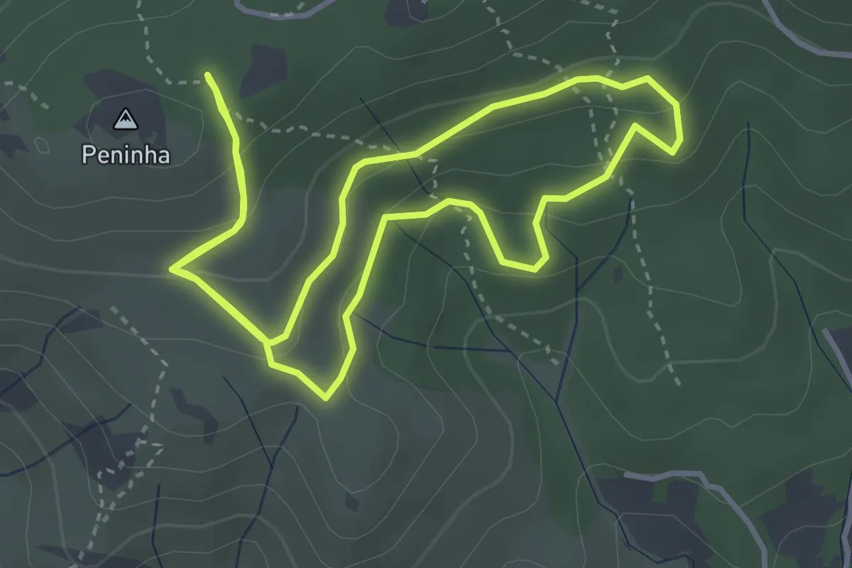
Easy · Trail
Trilho dos Píncaros
4.0 km · ↑ 181 m · 1 h 23 min · 15 km away
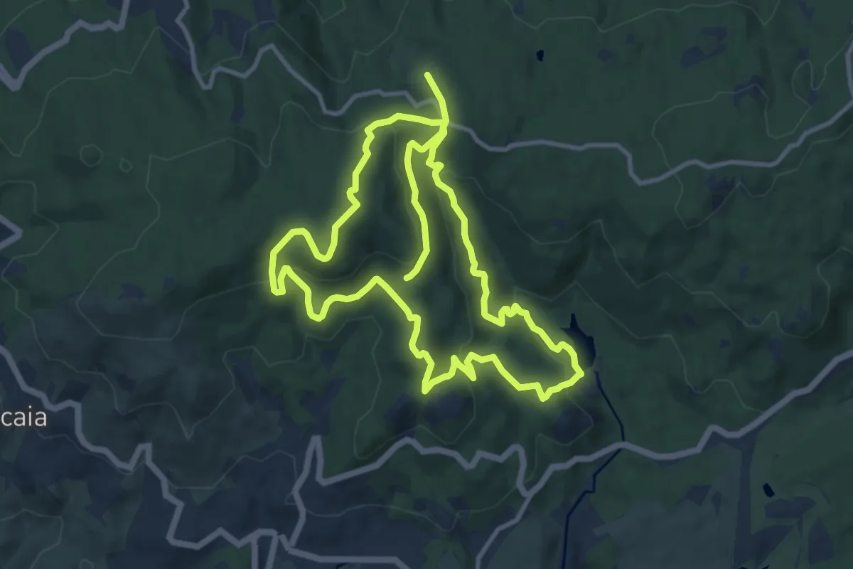
Medium · Summit
Capuchos
11.4 km · ↑ 489 m · 3 h 53 min · 15 km away
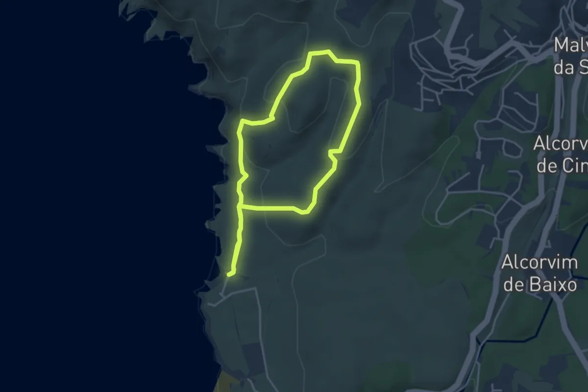
Easy · Trail
Trilho do Abano
3.6 km · ↑ 123 m · 1 h 11 min · 15 km away
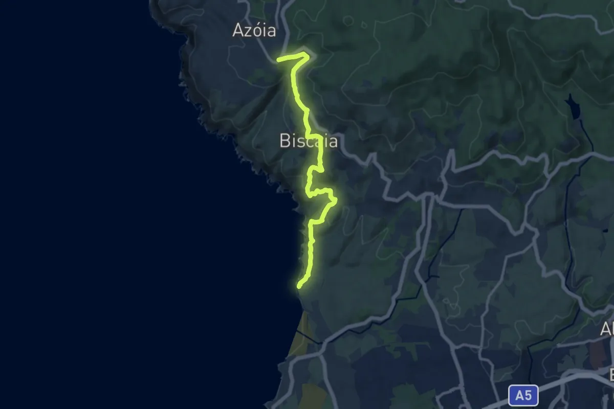
Medium · Trail
Caminho do Atlântico (Troço Abano-Azoia)
11.3 km · ↑ 391 m · 3 h 31 min · 15 km away