Trails near Salir
32 hikes starting within 15 km, nearest first.
Nearest first
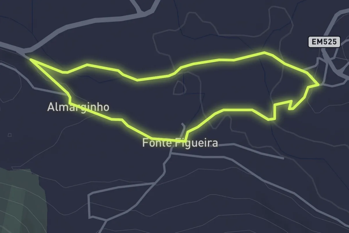
Easy · Trail
Almarginho (Rota da Água)
3.5 km · ↑ 45 m · 59 min · 1 km away
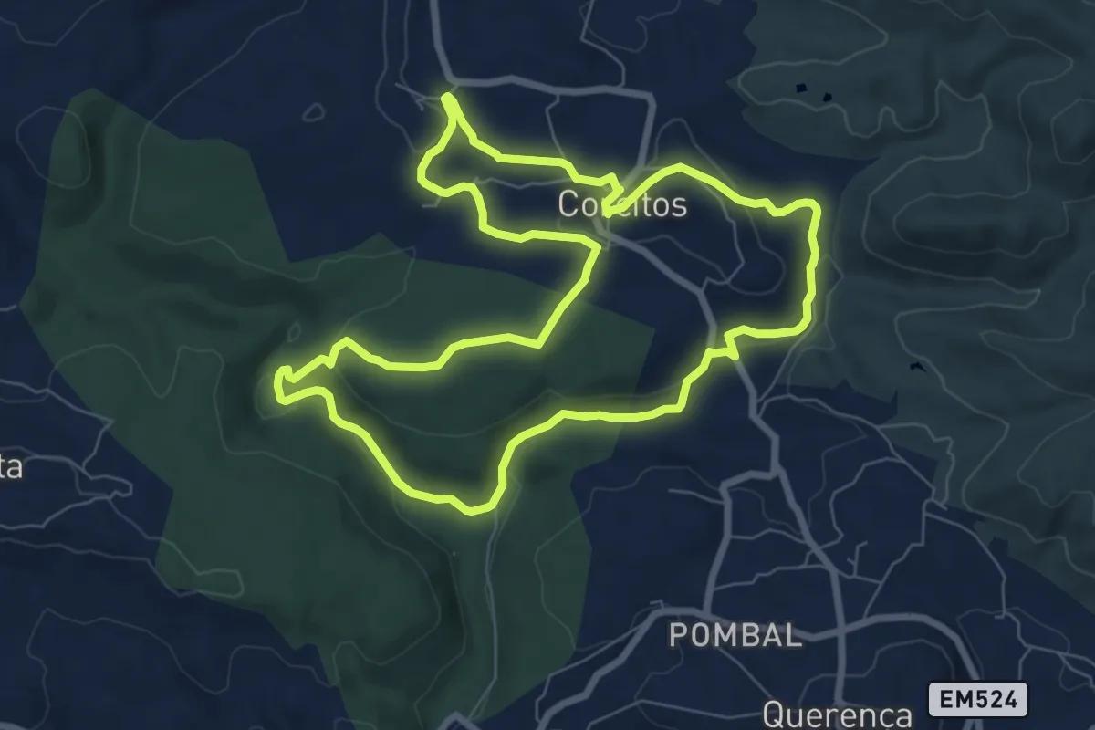
Medium · Trail
7 Fontes
8.7 km · ↑ 232 m · 2 h 41 min · 5 km away
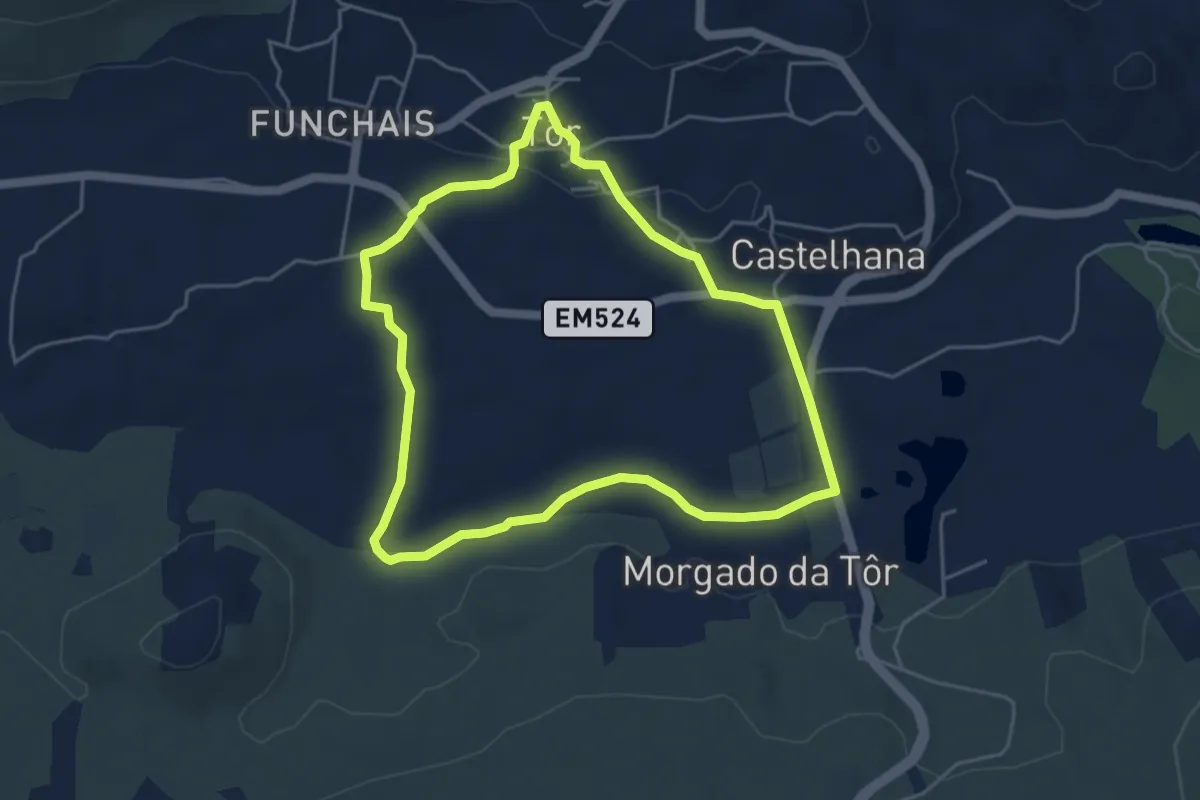
Easy · Trail
Tôr
5.2 km · ↑ 64 m · 1 h 27 min · 5 km away
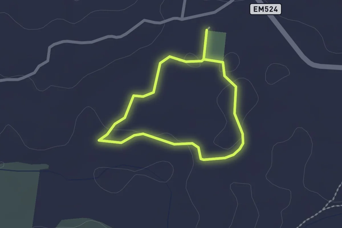
Easy · Trail
Estação da Biodiversidade de Tôr
1.7 km · ↑ 13 m · 27 min · 5 km away
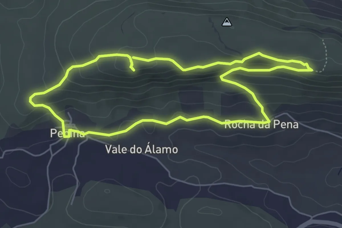
Easy · Trail
Rocha da Pena
5.8 km · ↑ 209 m · 1 h 53 min · 6 km away
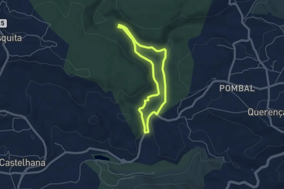
Easy · Trail
Fonte Benémola
4.1 km · ↑ 80 m · 1 h 12 min · 6 km away
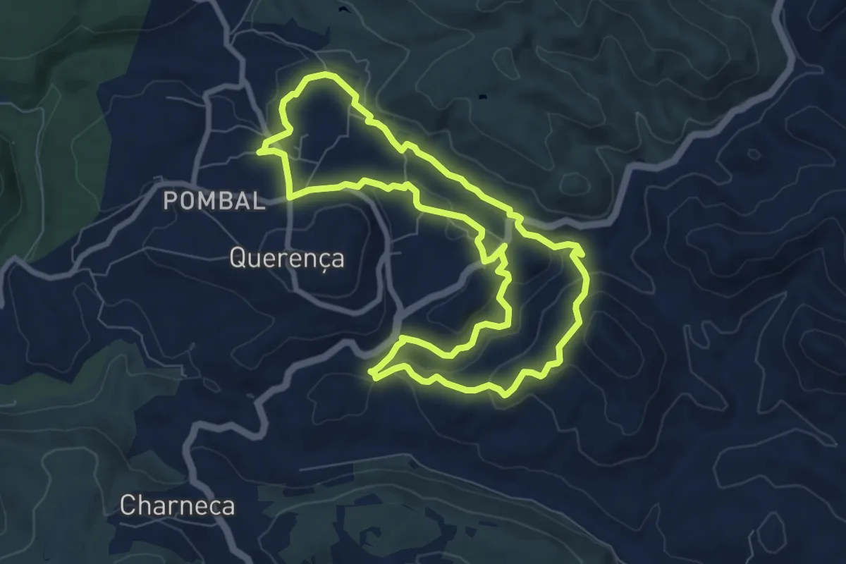
Medium · Trail
Serra e Montes
8.5 km · ↑ 245 m · 2 h 40 min · 8 km away
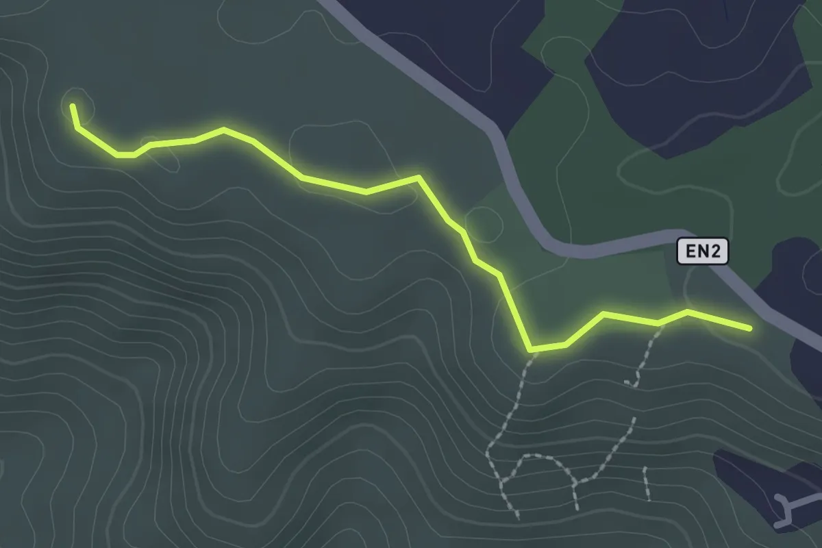
Easy · Trail
Estação da Biodiversidade de Barranco do Velho
2.6 km · ↑ 15 m · 39 min · 8 km away
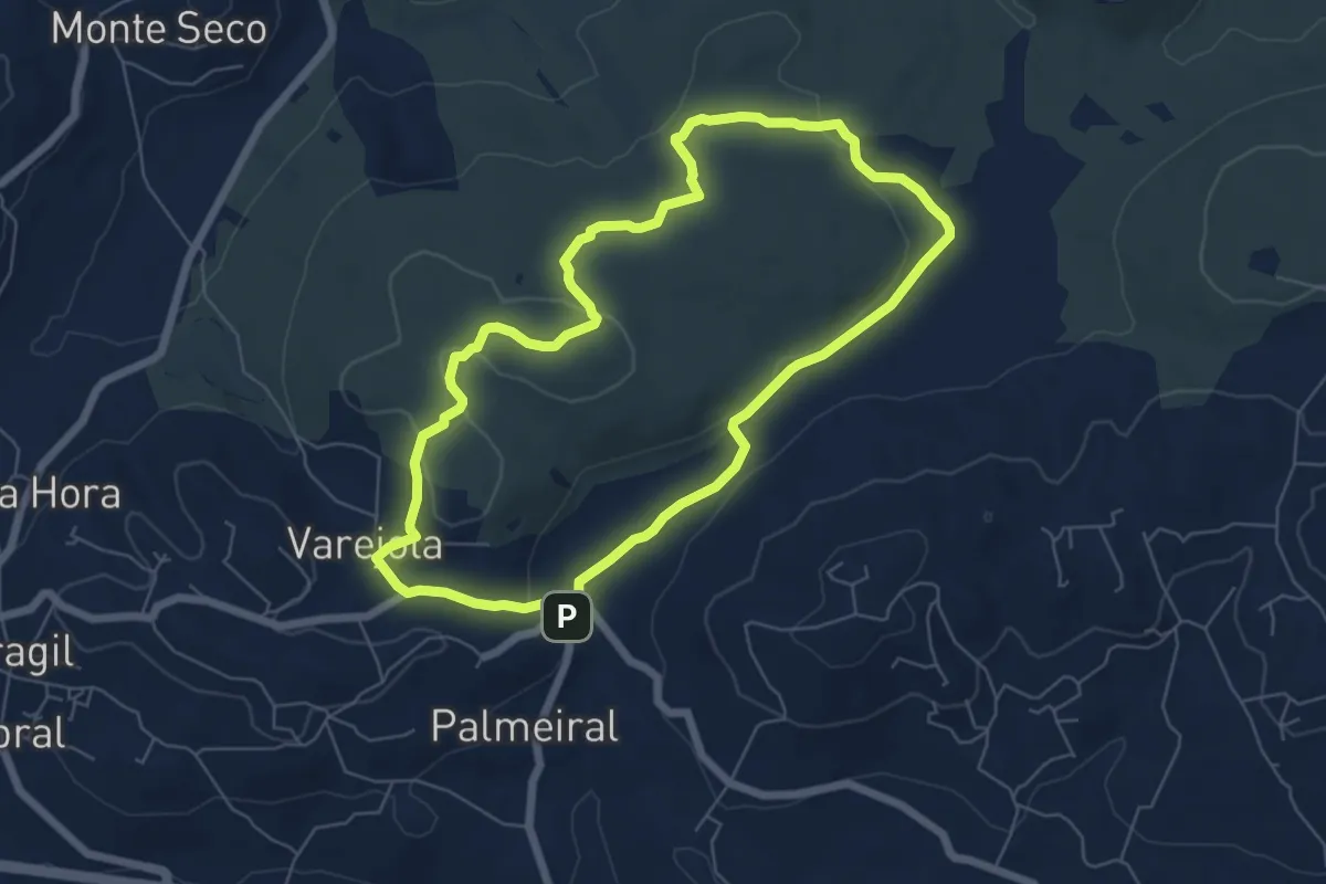
Easy · Trail
Percurso do núcleo Castelão-Pissilveira (Varejota)
7.1 km · ↑ 118 m · 2 h 2 min · 9 km away
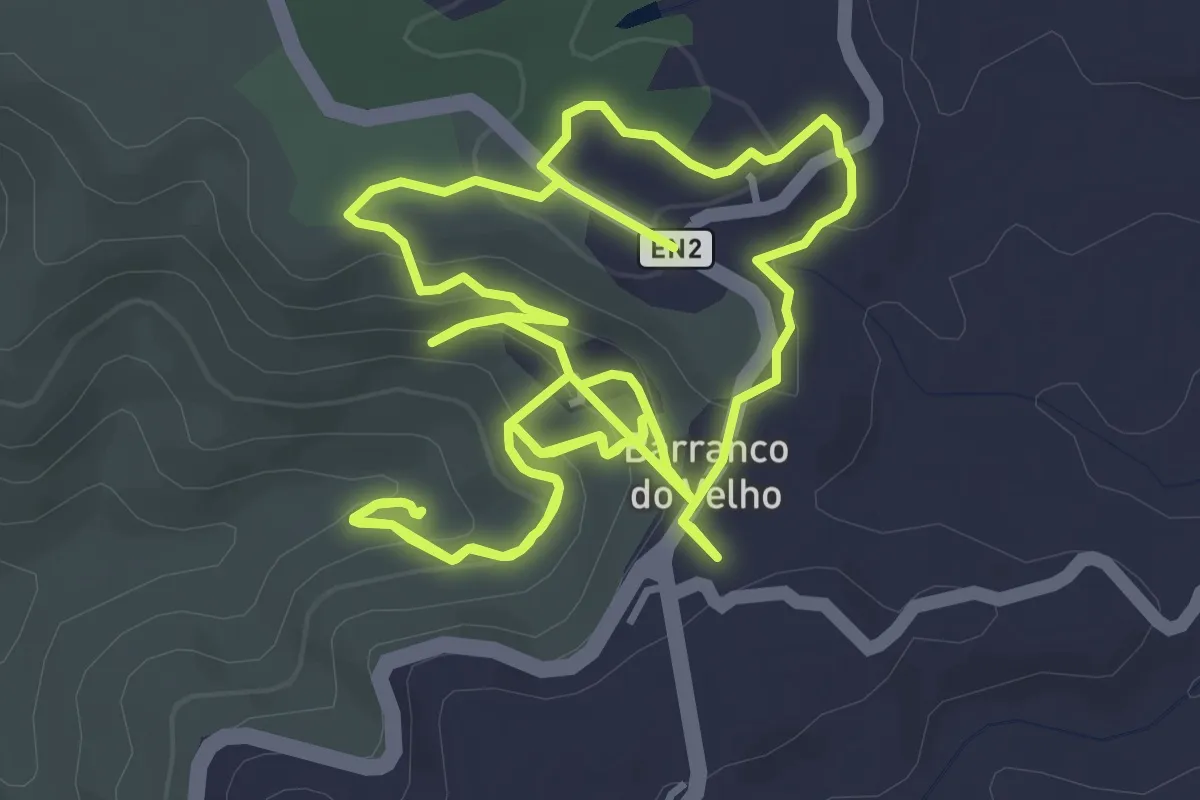
Easy · Trail
Barranco do Velho (Rota da Água)
5.7 km · ↑ 197 m · 1 h 53 min · 10 km away
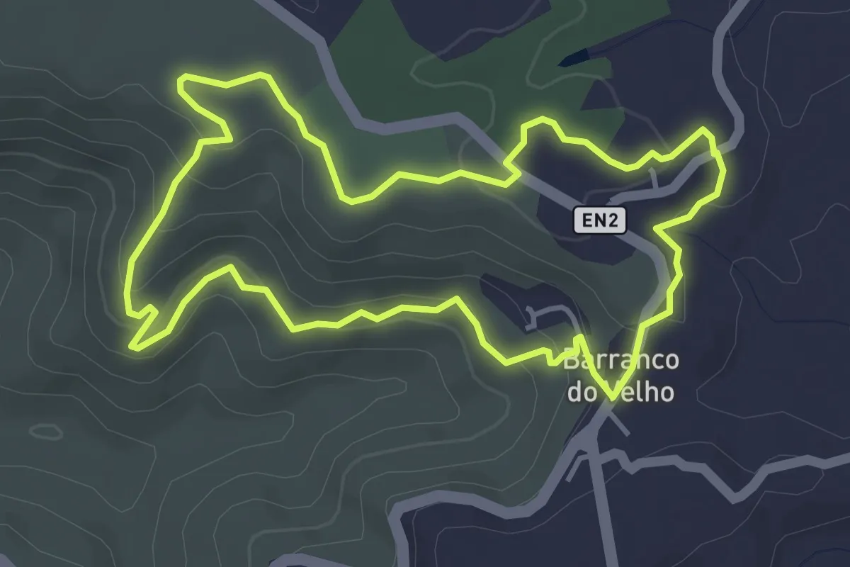
Easy · Trail
Barranco do Velho
4.5 km · ↑ 146 m · 1 h 26 min · 10 km away
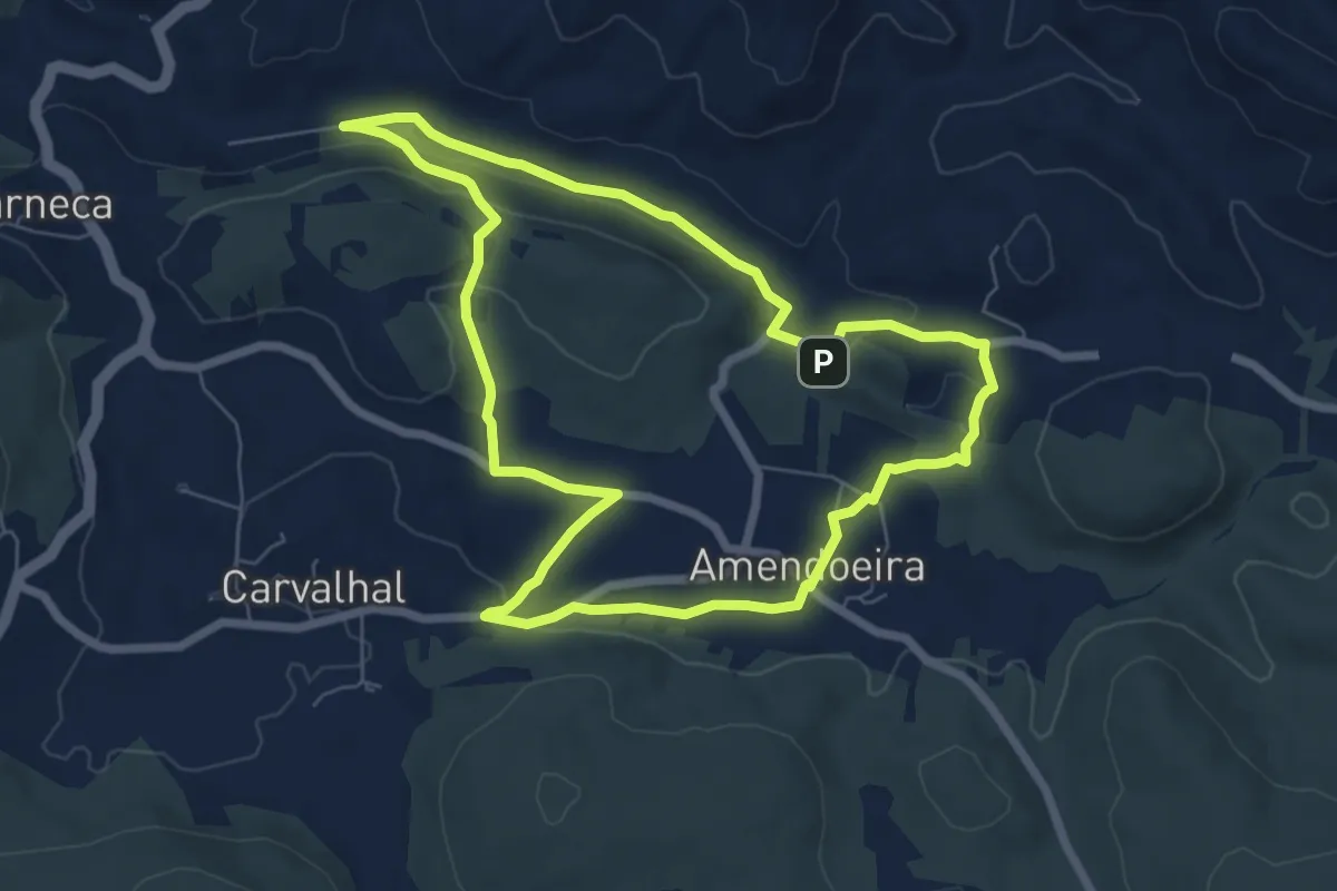
Easy · Trail
Amendoeira
7.8 km · ↑ 168 m · 2 h 19 min · 10 km away
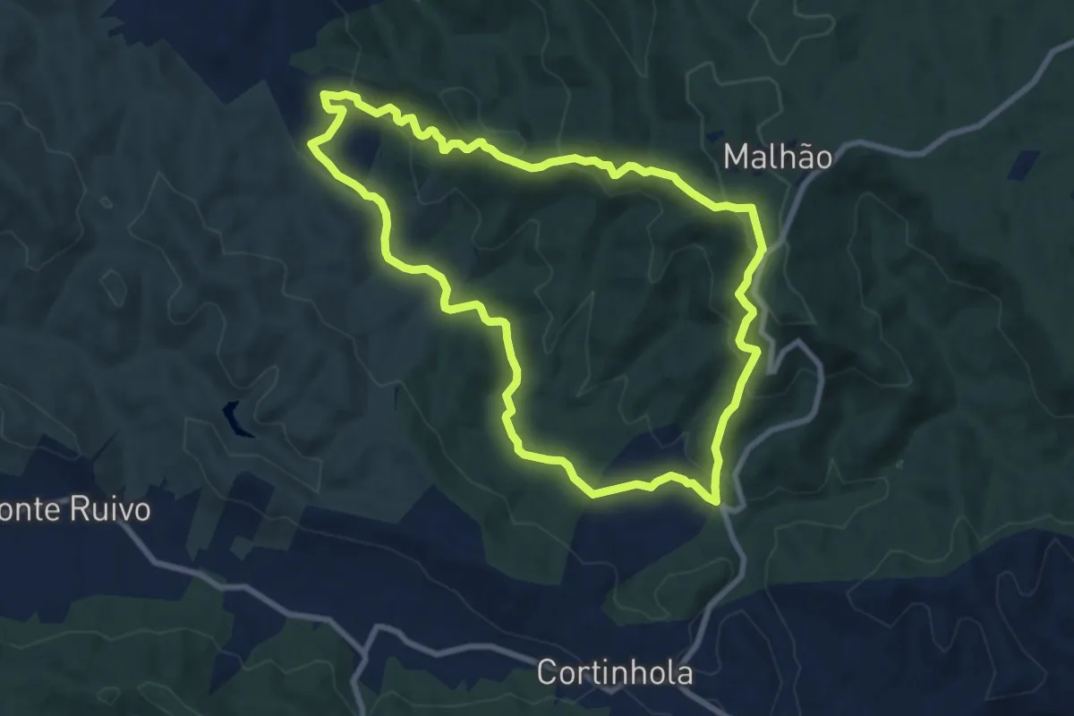
Medium · Trail
Pé do Coelho
9.2 km · ↑ 369 m · 3 h 6 min · 10 km away
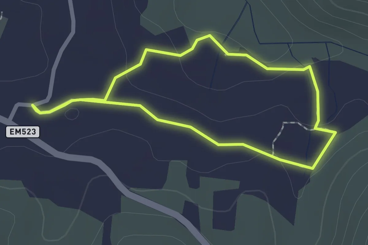
Easy · Trail
Olho Pariz (Rota da Água)
1.9 km · ↑ 17 m · 30 min · 11 km away
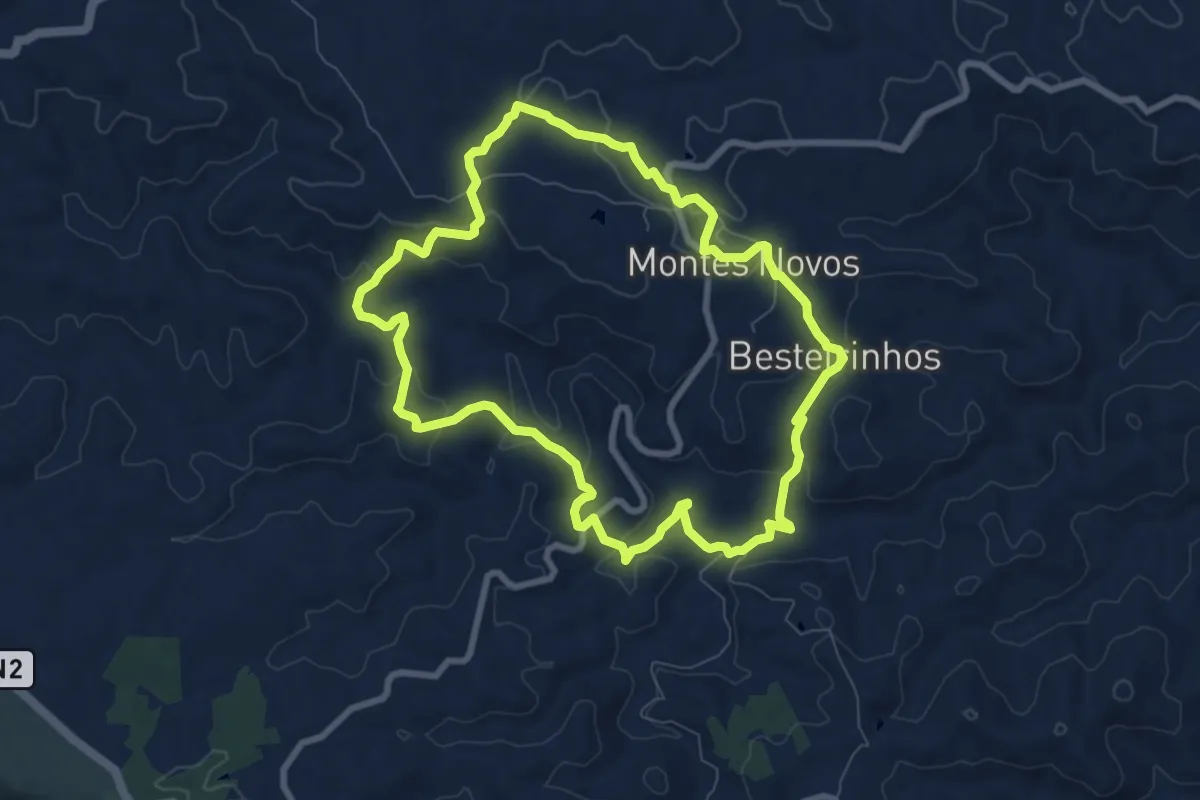
Medium · Trail
Montes Novos
9.2 km · ↑ 265 m · 2 h 52 min · 11 km away
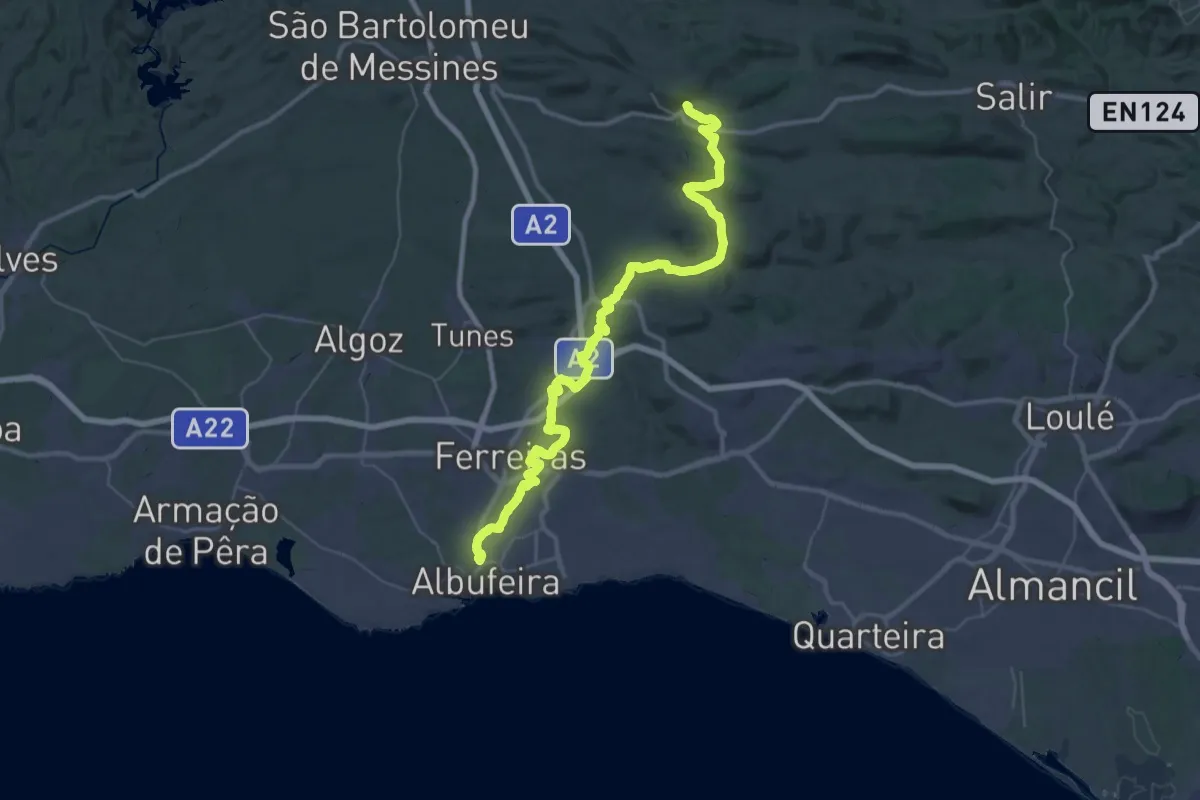
Demanding · Trail
Via Algarviana - Ligação 7: Albufeira-Alte
29.4 km · ↑ 276 m · 8 h 2 min · 11 km away
Medium · Trail
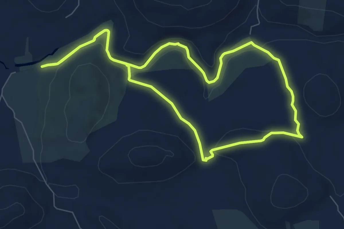
Ribeira de Algibre
8.2 km · ↑ 141 m · 2 h 21 min · 11 km away
Medium · Trail
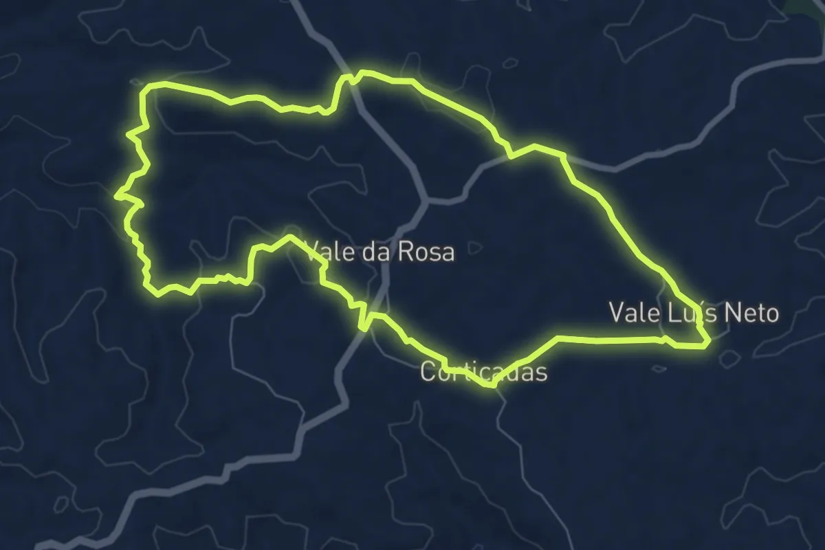
Vale da Rosa
9.0 km · ↑ 156 m · 2 h 35 min · 12 km away
Easy · Trail
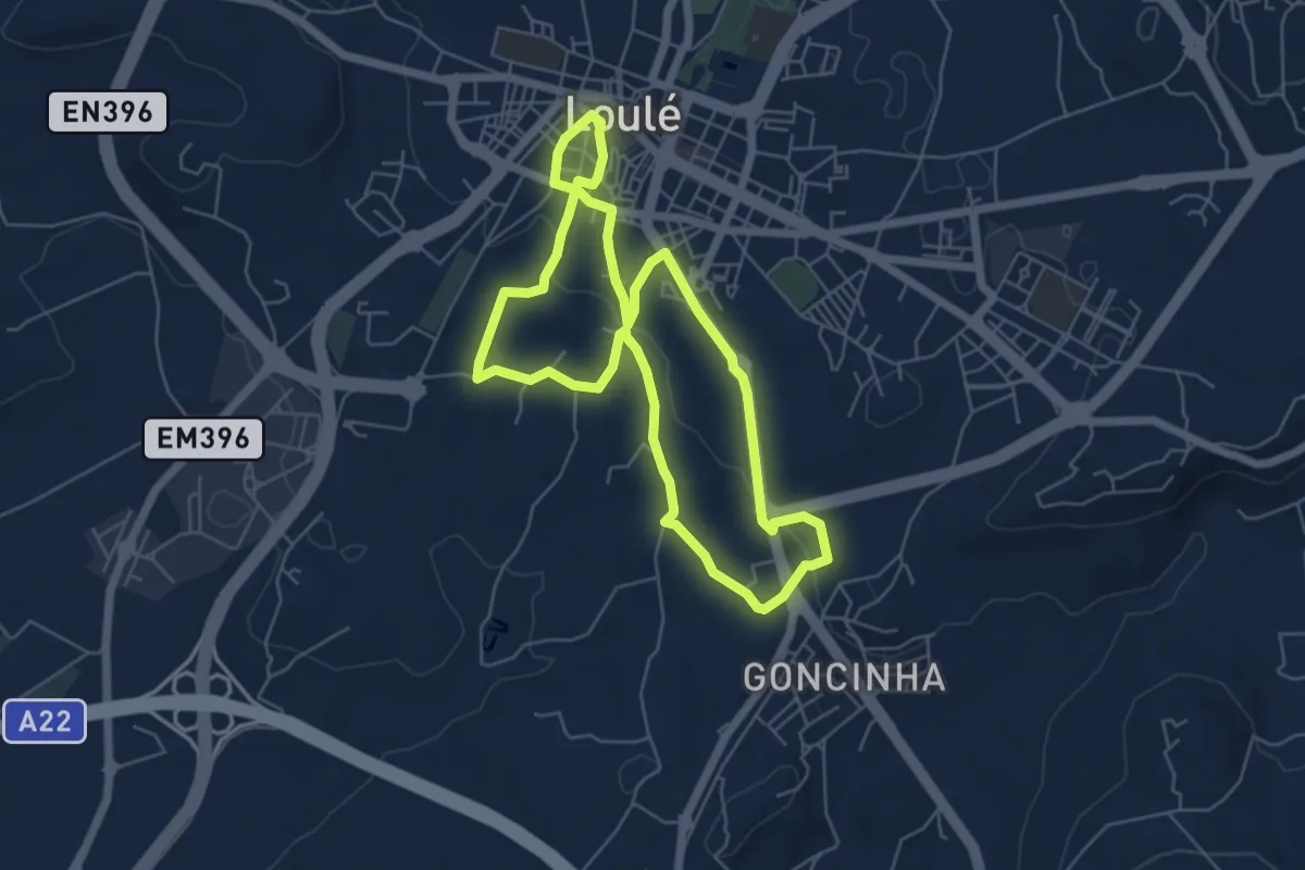
Encostas do Cadoiço
6.3 km · ↑ 112 m · 1 h 49 min · 12 km away
Demanding · Trail
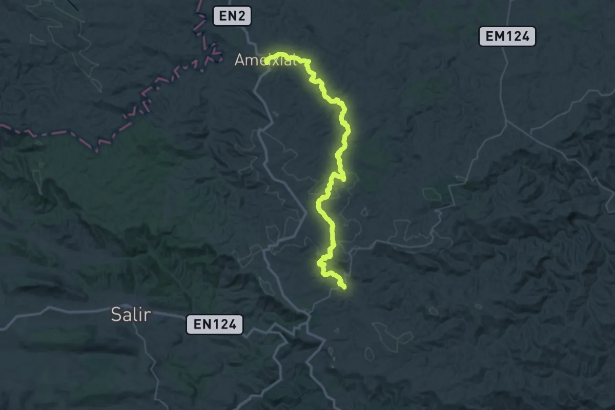
Via Algarviana - Ligação 6: Ameixial - Barranco do Velho
21.8 km · ↑ 619 m · 6 h 47 min · 12 km away
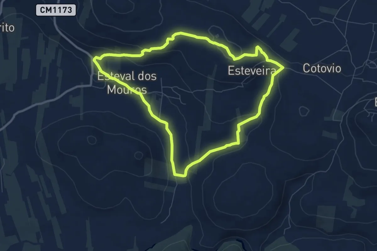
Medium · Trail
Esteval dos Mouros
8.6 km · ↑ 160 m · 2 h 30 min · 12 km away
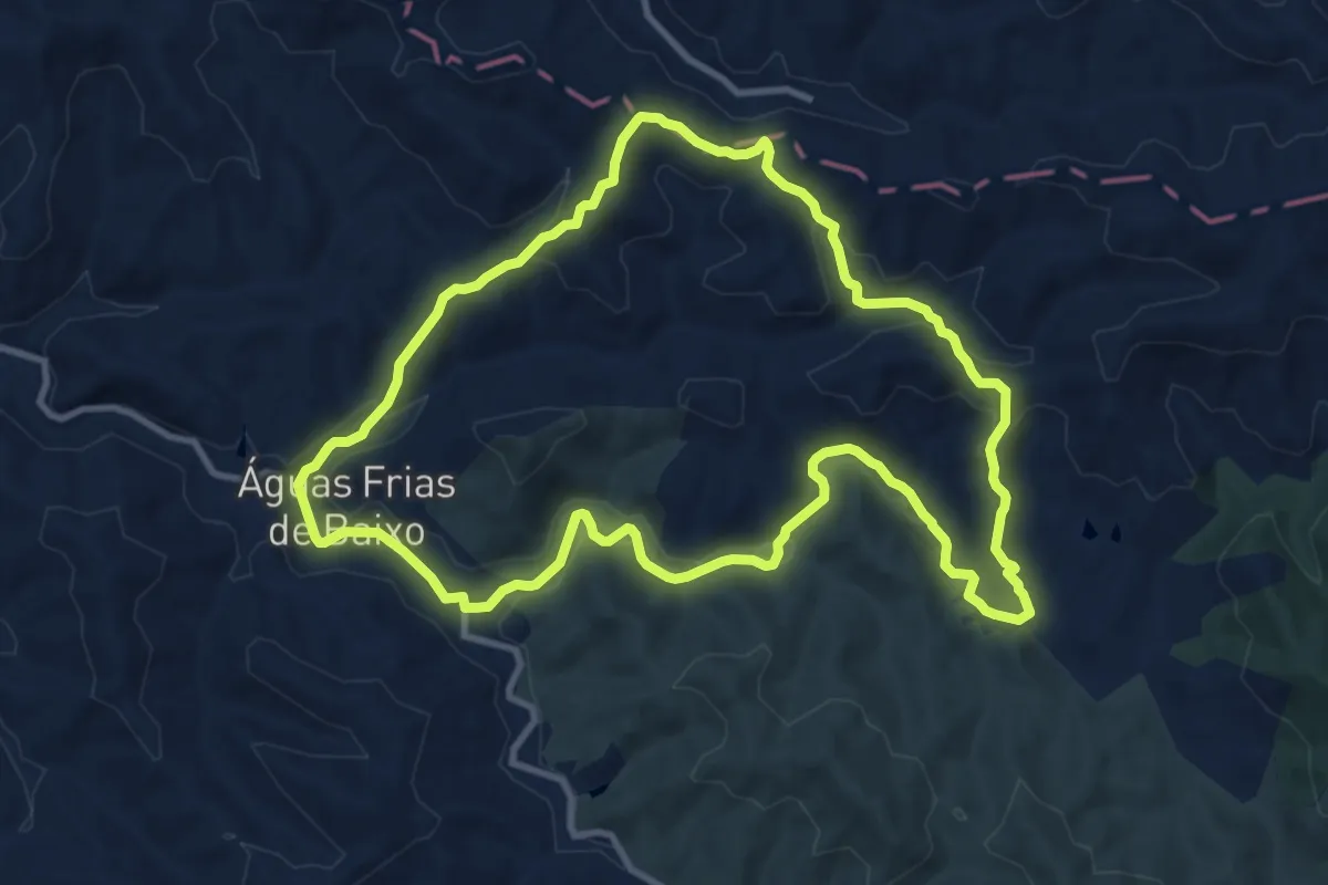
Medium · Trail
Águas Frias
12.2 km · ↑ 293 m · 3 h 41 min · 12 km away
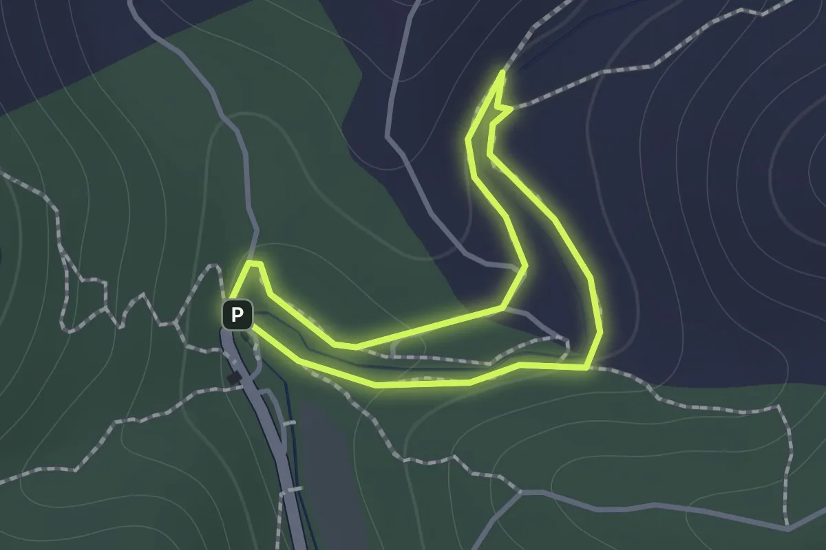
Easy · Trail
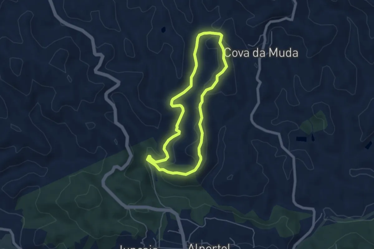
Parque da Fonte Férrea - Percurso 1 Familiar
1.1 km · ↑ 21 m · 19 min · 13 km away
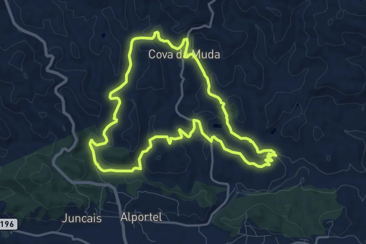
Medium · Trail
Parque da Fonte Férrea - Percurso 3 Grande
10.4 km · ↑ 204 m · 3 h 3 min · 13 km away
Easy · Trail
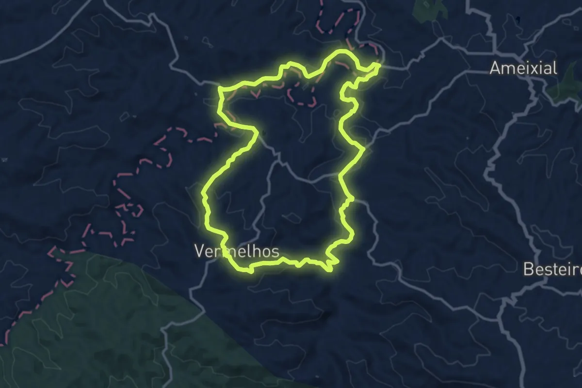
Parque da Fonte Férrea - Percurso 2 Pequeno
4.9 km · ↑ 115 m · 1 h 28 min · 13 km away
Medium · Trail
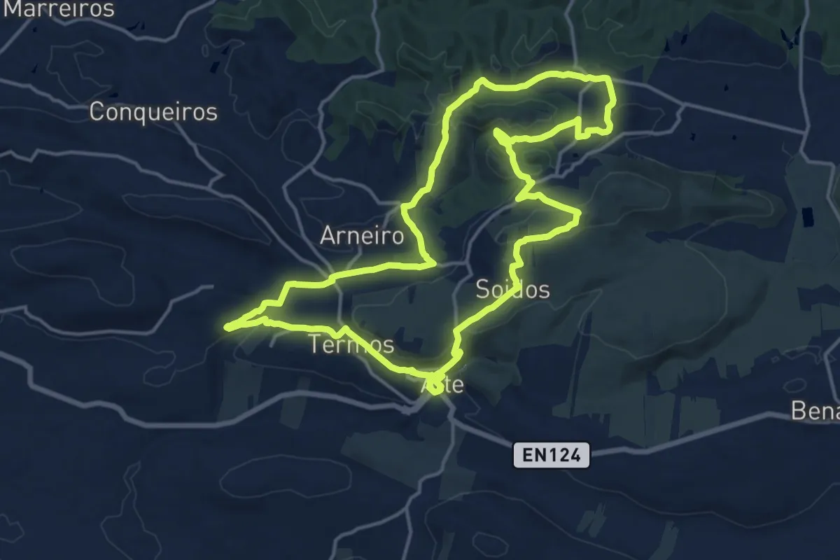
Azinhal dos Mouros
14.3 km · ↑ 272 m · 4 h 10 min · 13 km away
Medium · Trail
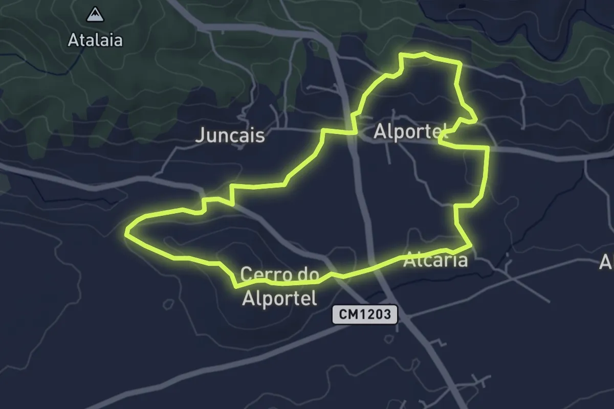
PR15 - Entre o Barrocal e a Serra
17.8 km · ↑ 506 m · 5 h 33 min · 14 km away
Easy · Trail
Passeio no vale por caminhos de almocreves (Trilho da Alcaria)
5.3 km · ↑ 133 m · 1 h 37 min · 14 km away
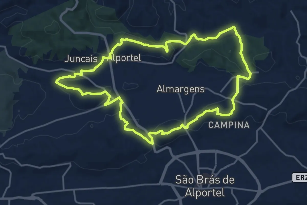
Medium · Trail
Passeio no vale por caminhos de almocreves (Trilho da Ribeira de Alportel)
12.4 km · ↑ 244 m · 3 h 38 min · 14 km away
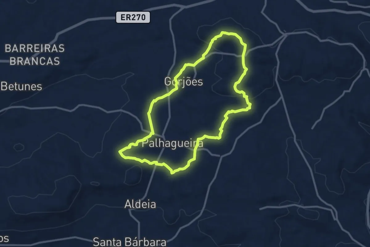
Medium · Summit
Pelas Veredas de Gorjões
10.1 km · ↑ 236 m · 3 h 2 min · 14 km away
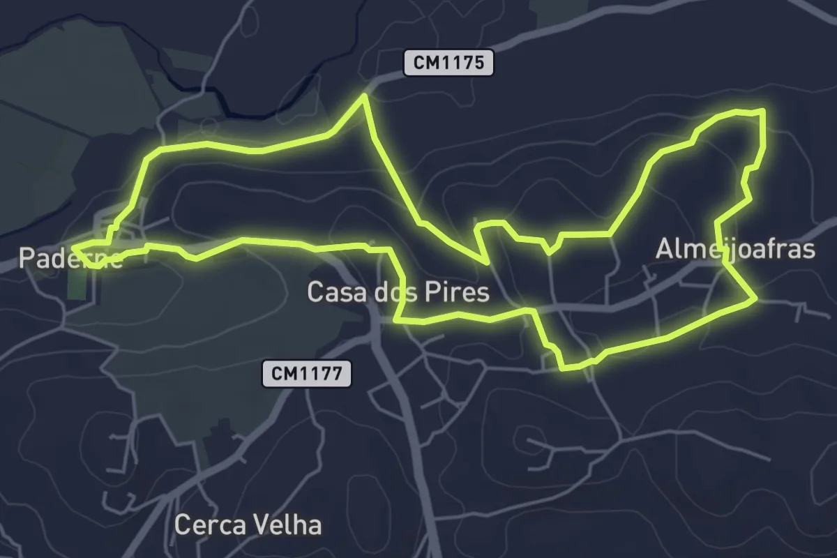
Easy · Trail
PR5 - Entre Aldeias
6.8 km · ↑ 154 m · 2 h 2 min · 14 km away
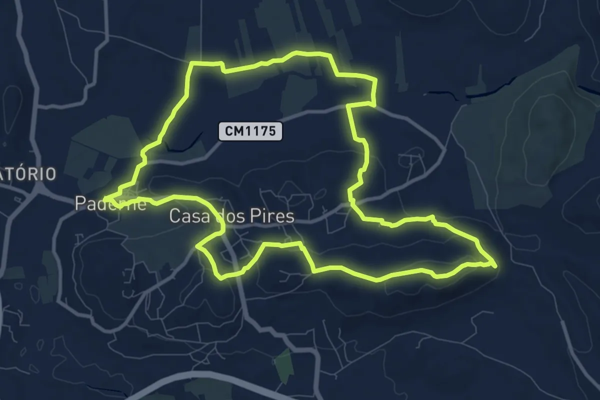
Medium · Trail
Percurso do Cerro Grande
11.3 km · ↑ 230 m · 3 h 20 min · 15 km away