Trails near São Bartolomeu de Messines
19 hikes starting within 15 km, nearest first.
Nearest first
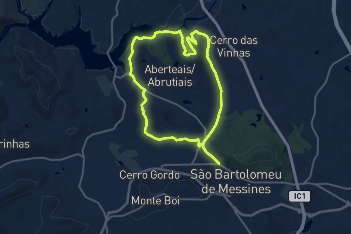
Medium · Summit
Percurso Pedestre Cultural de São Bartlomeu de Messinas
9.1 km · ↑ 152 m · 2 h 36 min · 1 km away
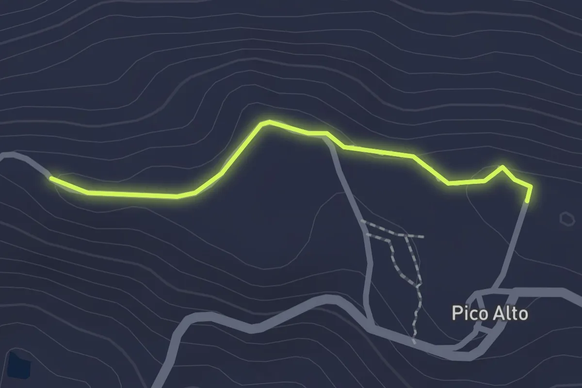
Easy · Trail
Estação da Biodiversidade do Pico Alto
2.0 km · ↑ 34 m · 32 min · 4 km away
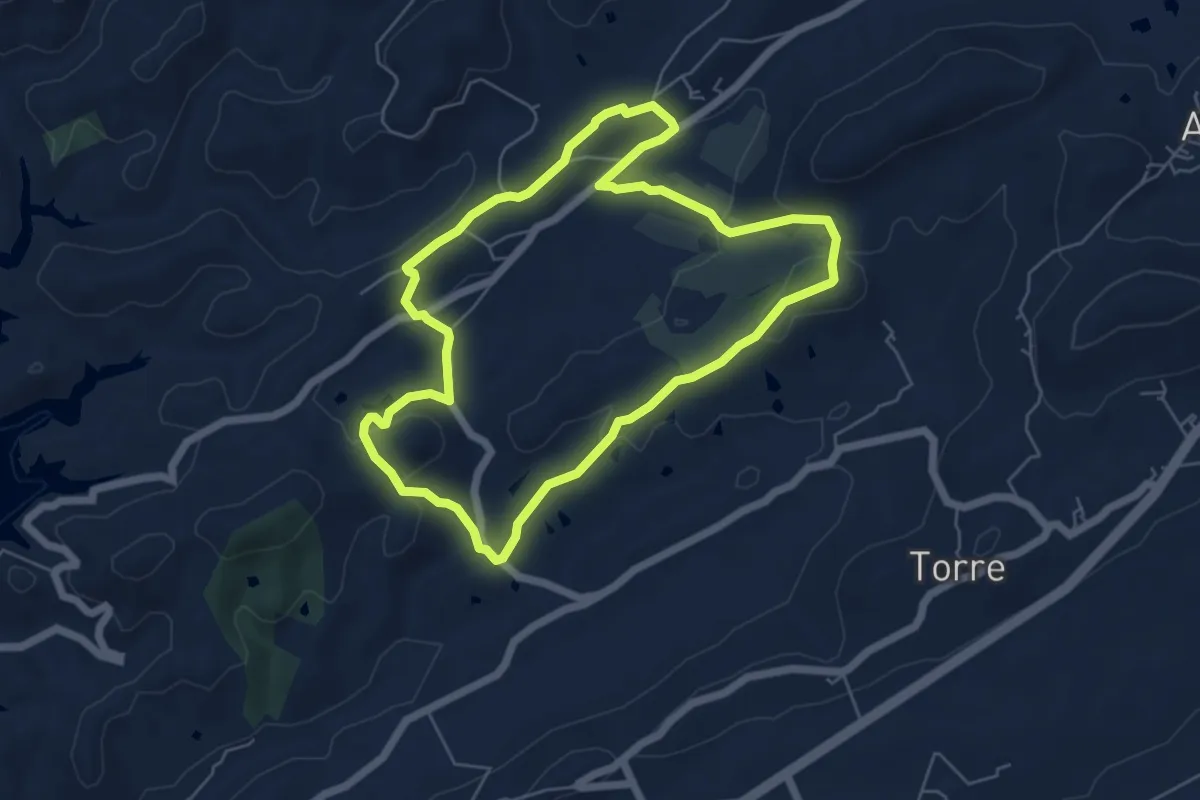
Easy · Trail
Vale Fuzeiros
6.5 km · ↑ 171 m · 1 h 59 min · 6 km away
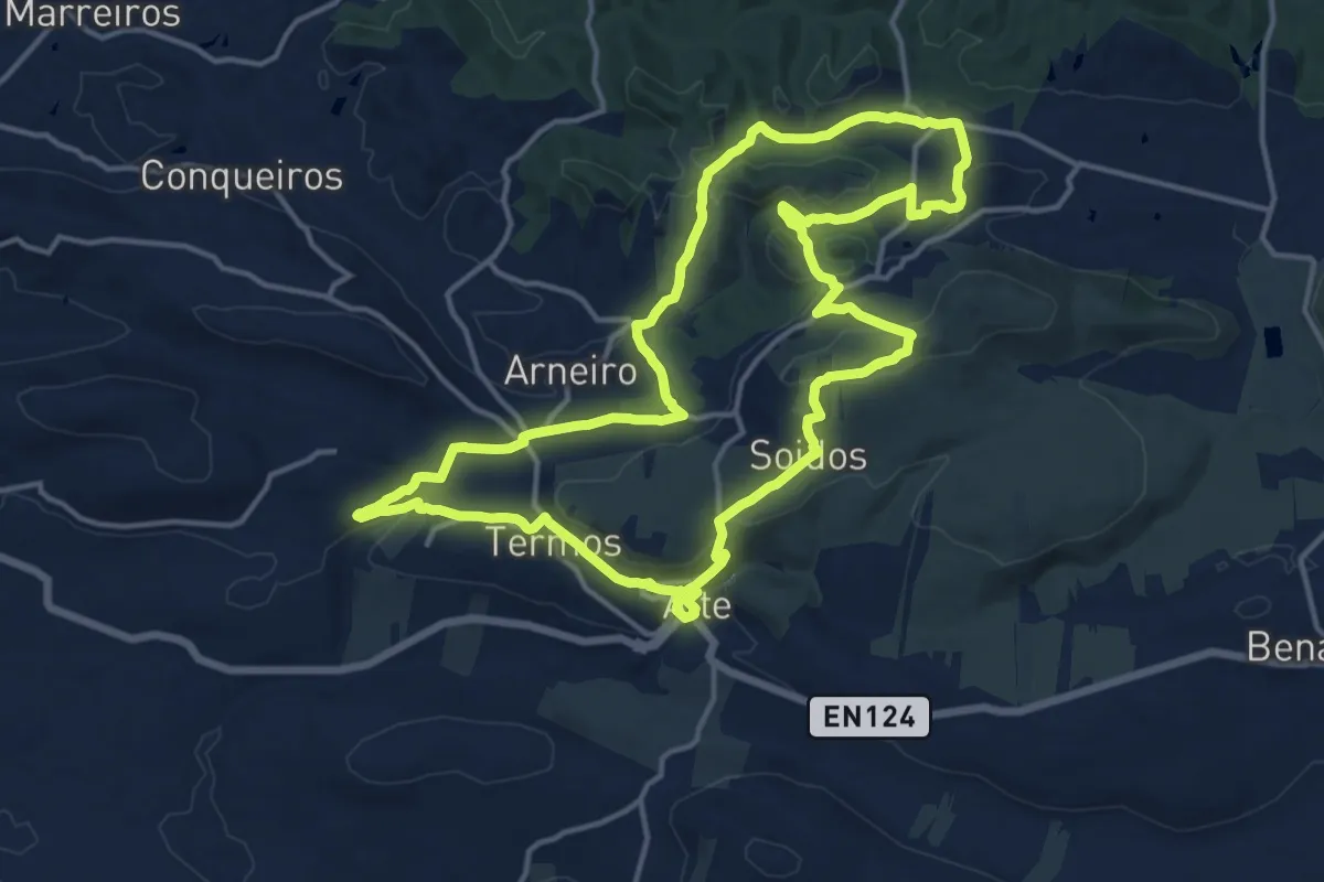
Medium · Trail
PR15 - Entre o Barrocal e a Serra
17.8 km · ↑ 506 m · 5 h 33 min · 8 km away
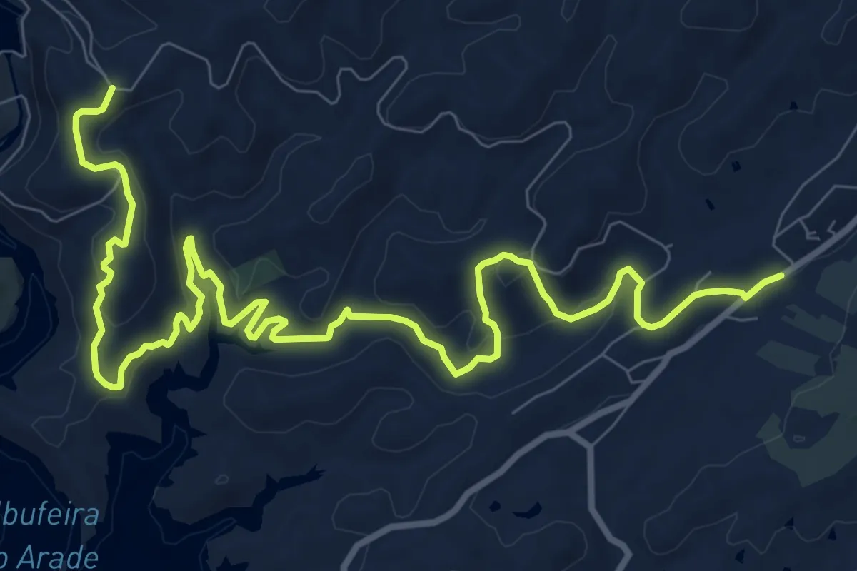
Medium · Trail
Via Algarviana - Ligação 12: Funcho a Vale Fuzeiros
14.6 km · ↑ 433 m · 4 h 23 min · 8 km away
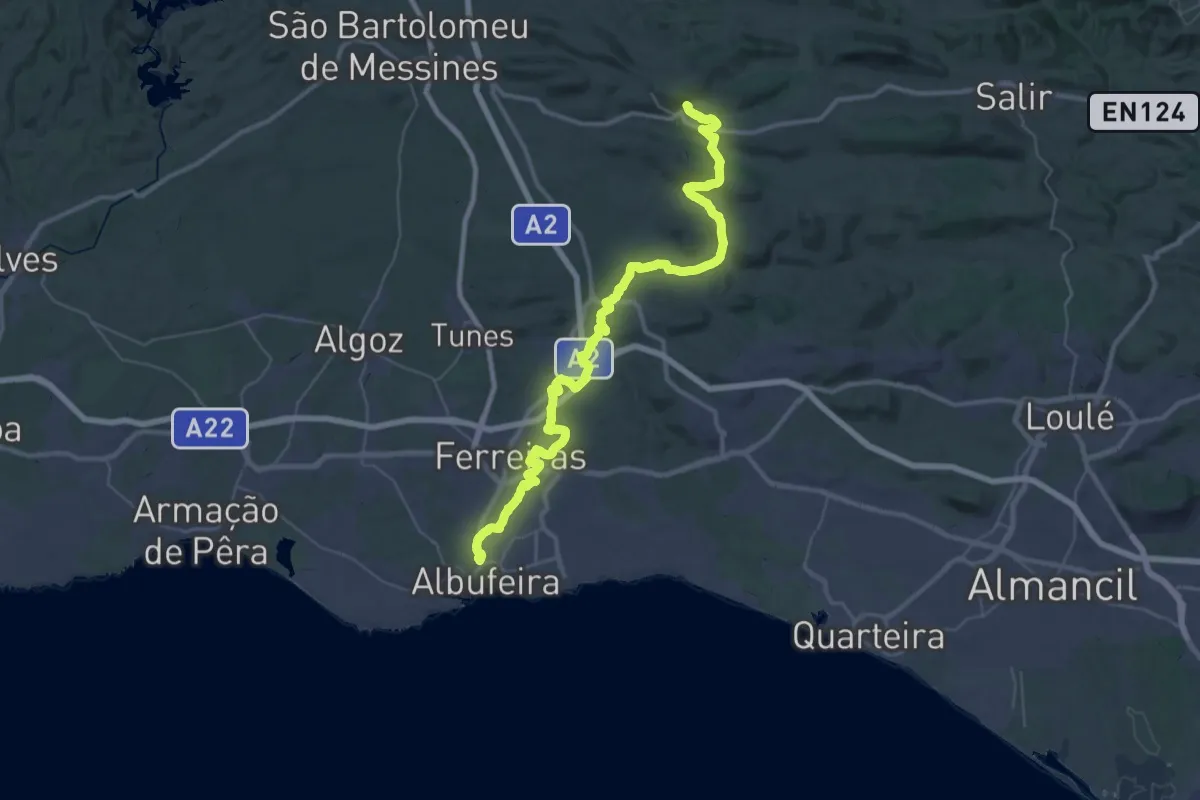
Demanding · Trail
Via Algarviana - Ligação 7: Albufeira-Alte
29.4 km · ↑ 276 m · 8 h 2 min · 10 km away
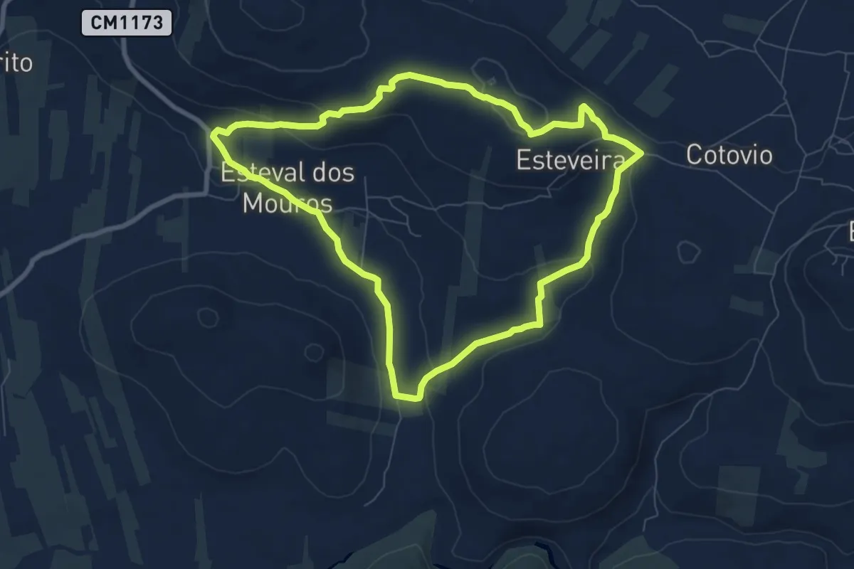
Medium · Trail
Esteval dos Mouros
8.6 km · ↑ 160 m · 2 h 30 min · 11 km away
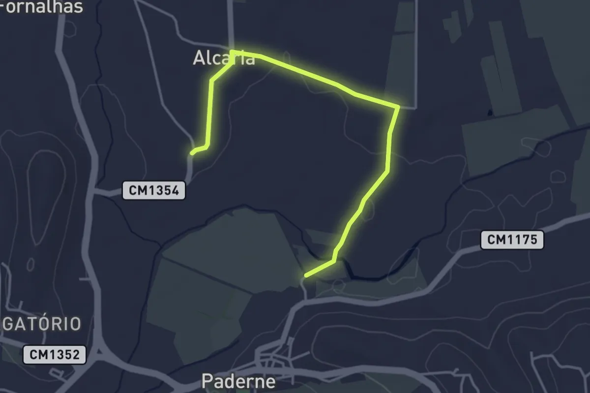
Easy · Trail
Percurso do Cerro de São Vicente - Opção de Inverno
4.5 km · ↑ 27 m · 1 h 8 min · 11 km away
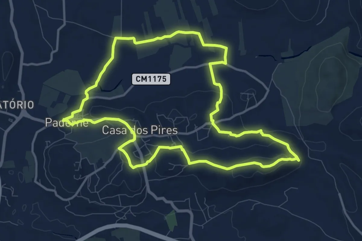
Medium · Trail
Percurso do Cerro Grande
11.3 km · ↑ 230 m · 3 h 20 min · 13 km away
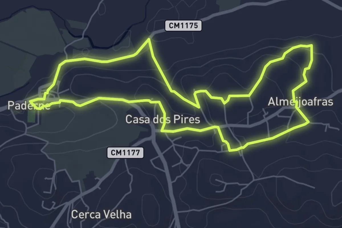
Easy · Trail
PR5 - Entre Aldeias
6.8 km · ↑ 154 m · 2 h 2 min · 13 km away
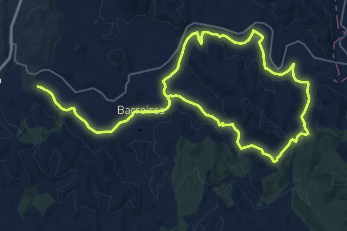
Medium · Trail
Percurso das Fontes Boião-Azilheira - 1 Boião-Azilheira-Boião
15.5 km · ↑ 317 m · 4 h 33 min · 13 km away
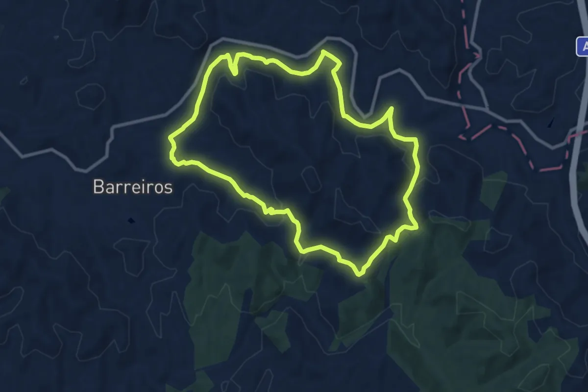
Medium · Trail
Percurso das Fontes Boião-Azilheira - 3 Azilheira
9.4 km · ↑ 234 m · 2 h 51 min · 13 km away
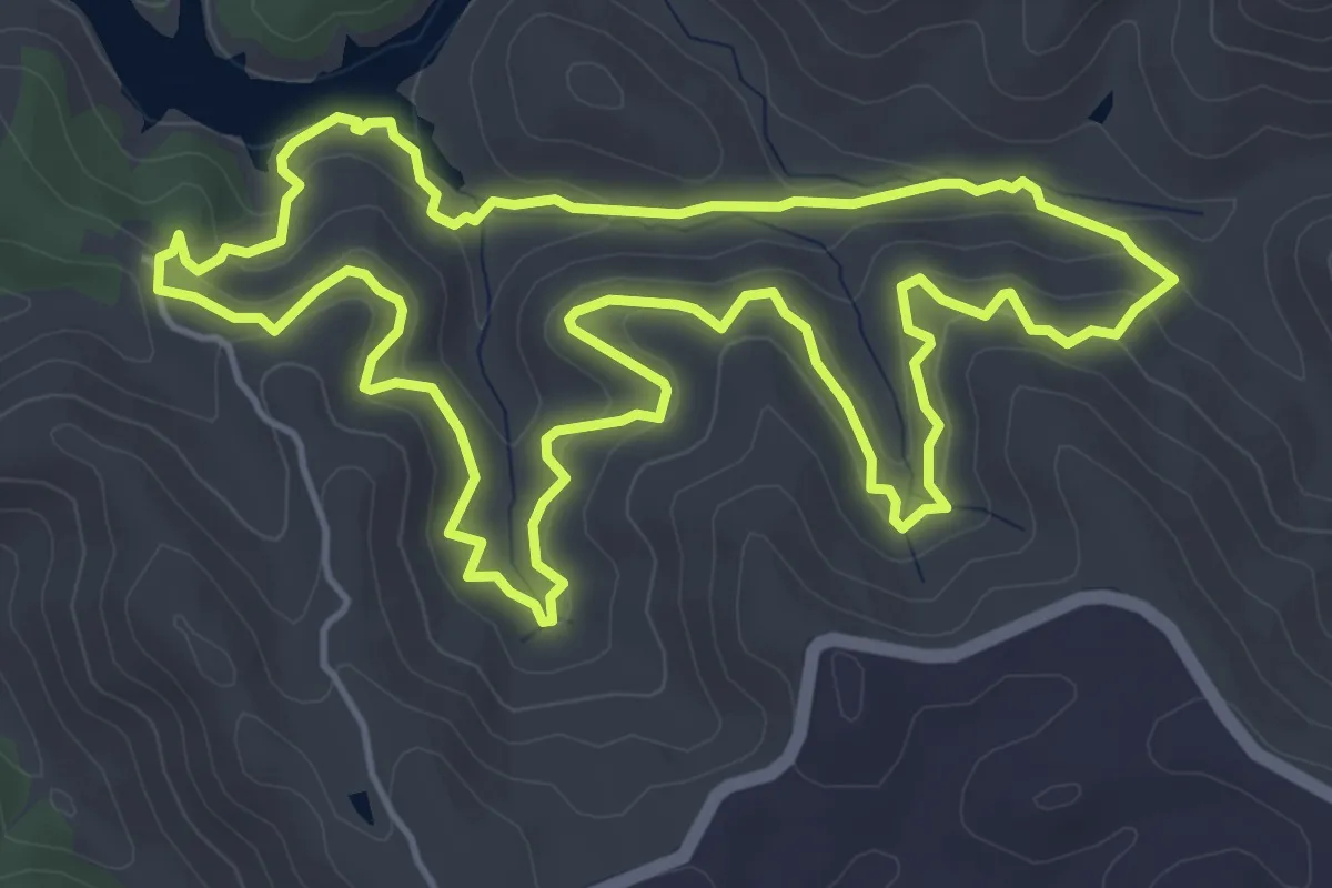
Easy · Trail
Trilho da Parra (Mata Nacional da Herdade da Parra)
6.3 km · ↑ 292 m · 2 h 13 min · 13 km away
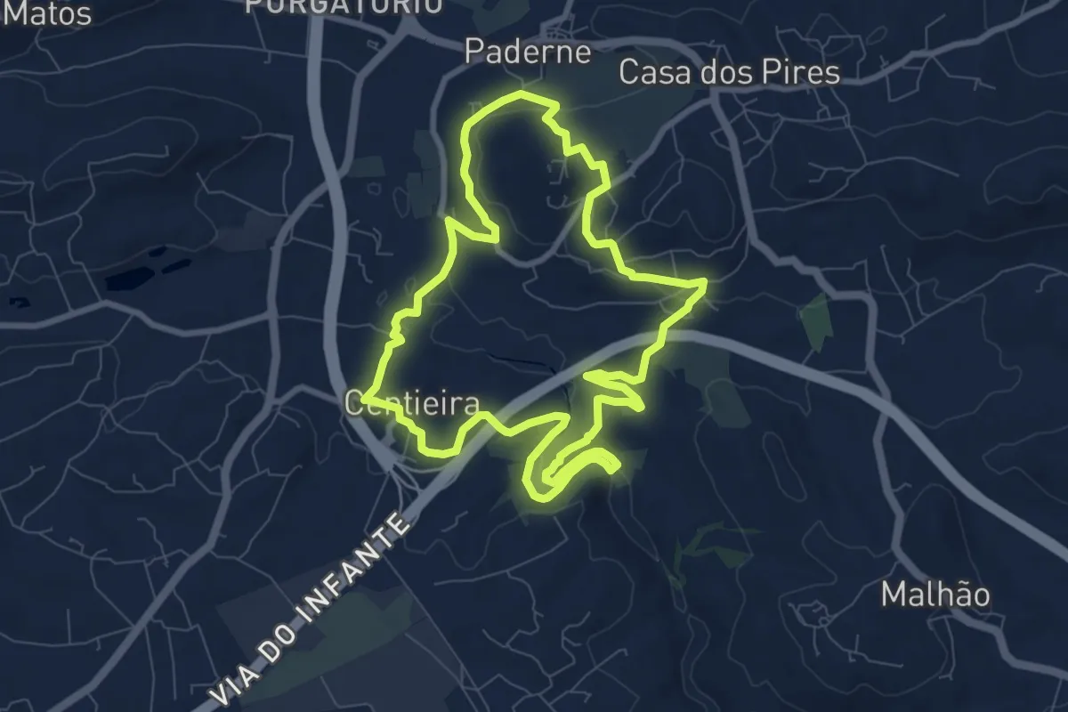
Medium · Trail
Percurso do Castelo
9.6 km · ↑ 215 m · 2 h 52 min · 14 km away
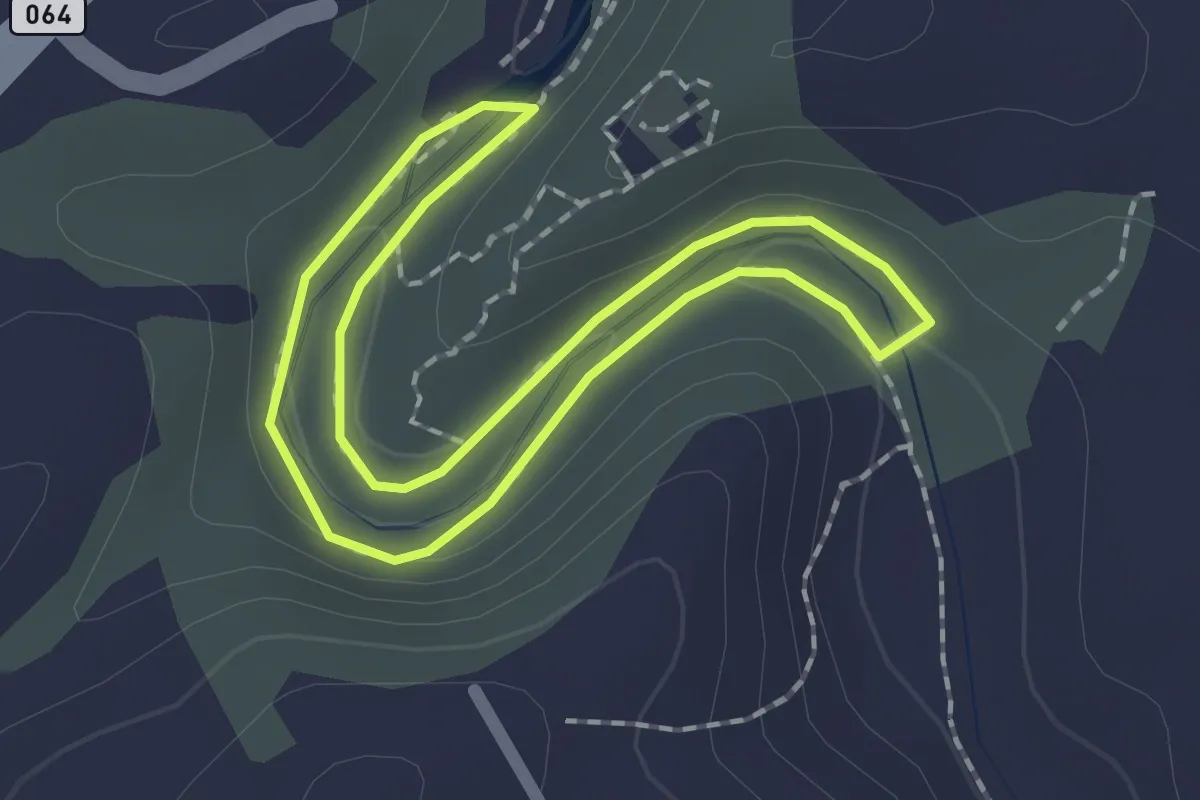
Easy · Trail
Estação da Biodiversidade da Ribeira de Quarteira
1.9 km · ↑ 41 m · 33 min · 14 km away
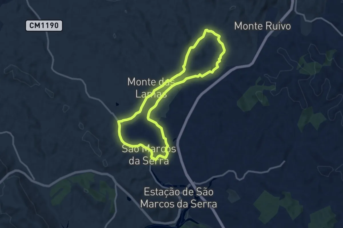
Medium · Trail
Percurso do Lagoão
9.4 km · ↑ 68 m · 2 h 30 min · 14 km away
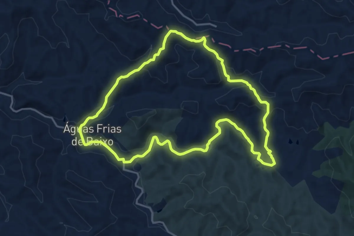
Medium · Trail
Águas Frias
12.2 km · ↑ 293 m · 3 h 41 min · 14 km away
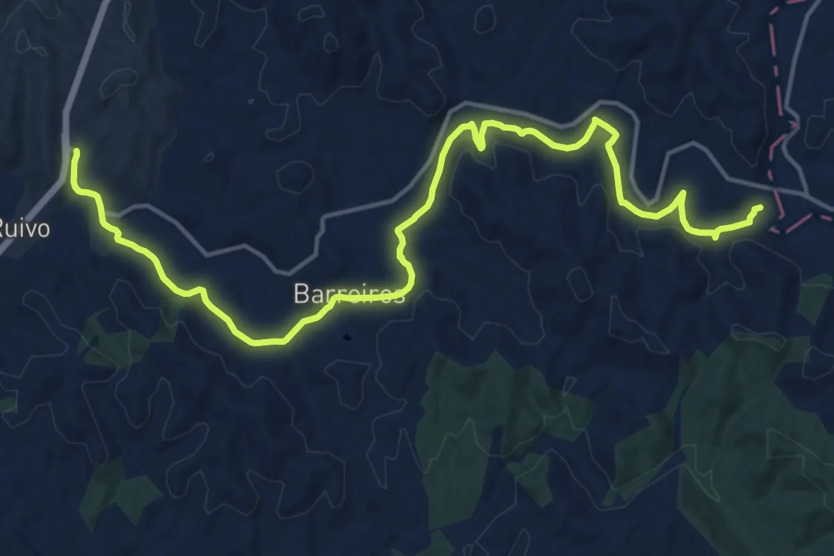
Demanding · Trail
Percurso das Fontes Boião-Azilheira - 2 Boião-Azilheira
18.8 km · ↑ 277 m · 5 h 2 min · 15 km away
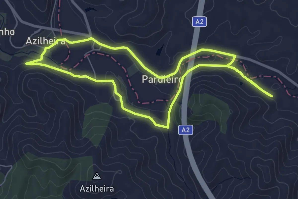
Easy · Trail
Percurso das Fontes Boião-Azilheira - 4 Vale de Horta
6.0 km · ↑ 61 m · 1 h 39 min · 15 km away