Trails near São Brás de Alportel
43 hikes starting within 15 km, nearest first.
Nearest first
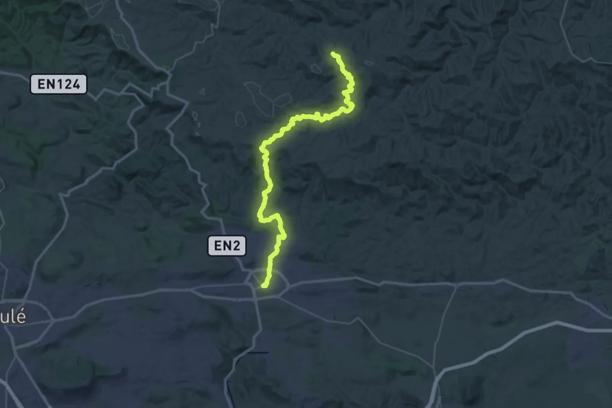
Demanding · Trail
Via Algarviana - Ligação 1: Parises - São Brás de Alportel
19.3 km · ↑ 621 m · 6 h 4 min · under 1 km away
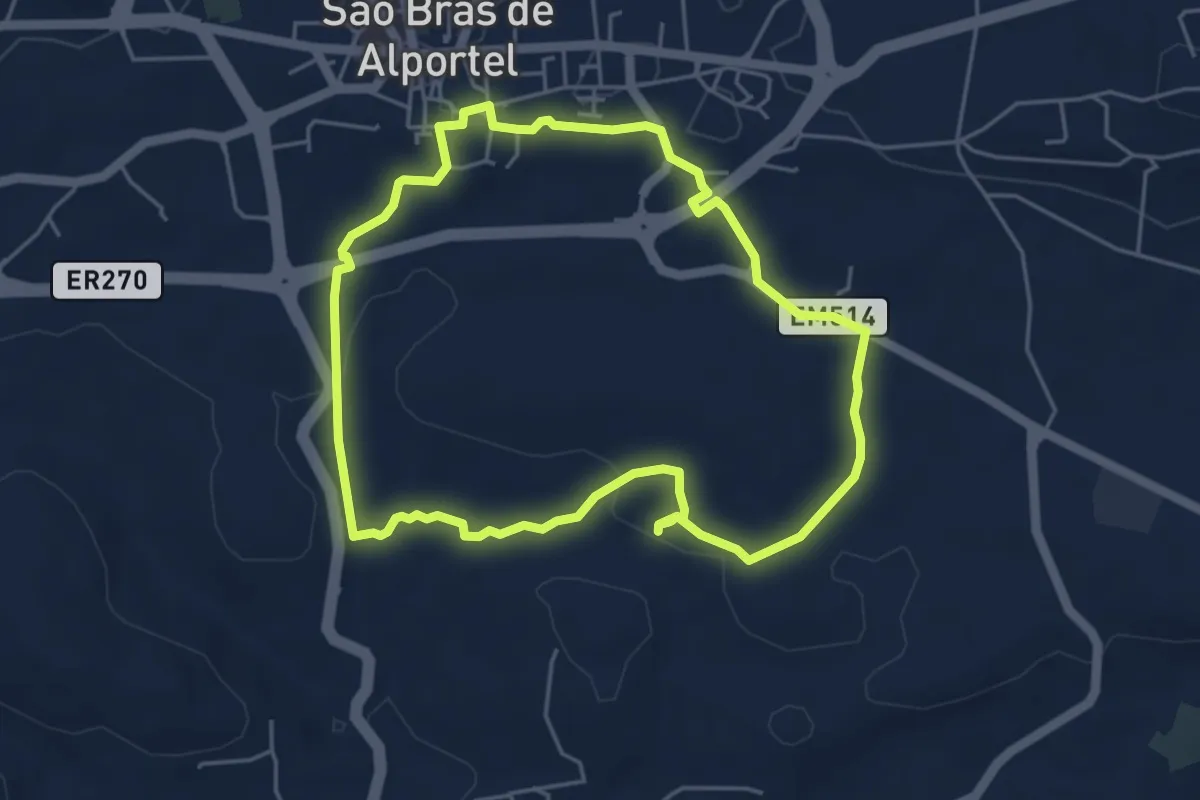
Easy · Trail
Percurso do Penedo Gordo
5.5 km · ↑ 79 m · 1 h 33 min · 1 km away
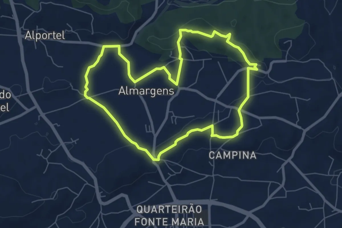
Easy · Trail
Passeio no vale por caminhos de almocreves (Trilho da Várzea da Cova)
7.0 km · ↑ 104 m · 1 h 58 min · 2 km away
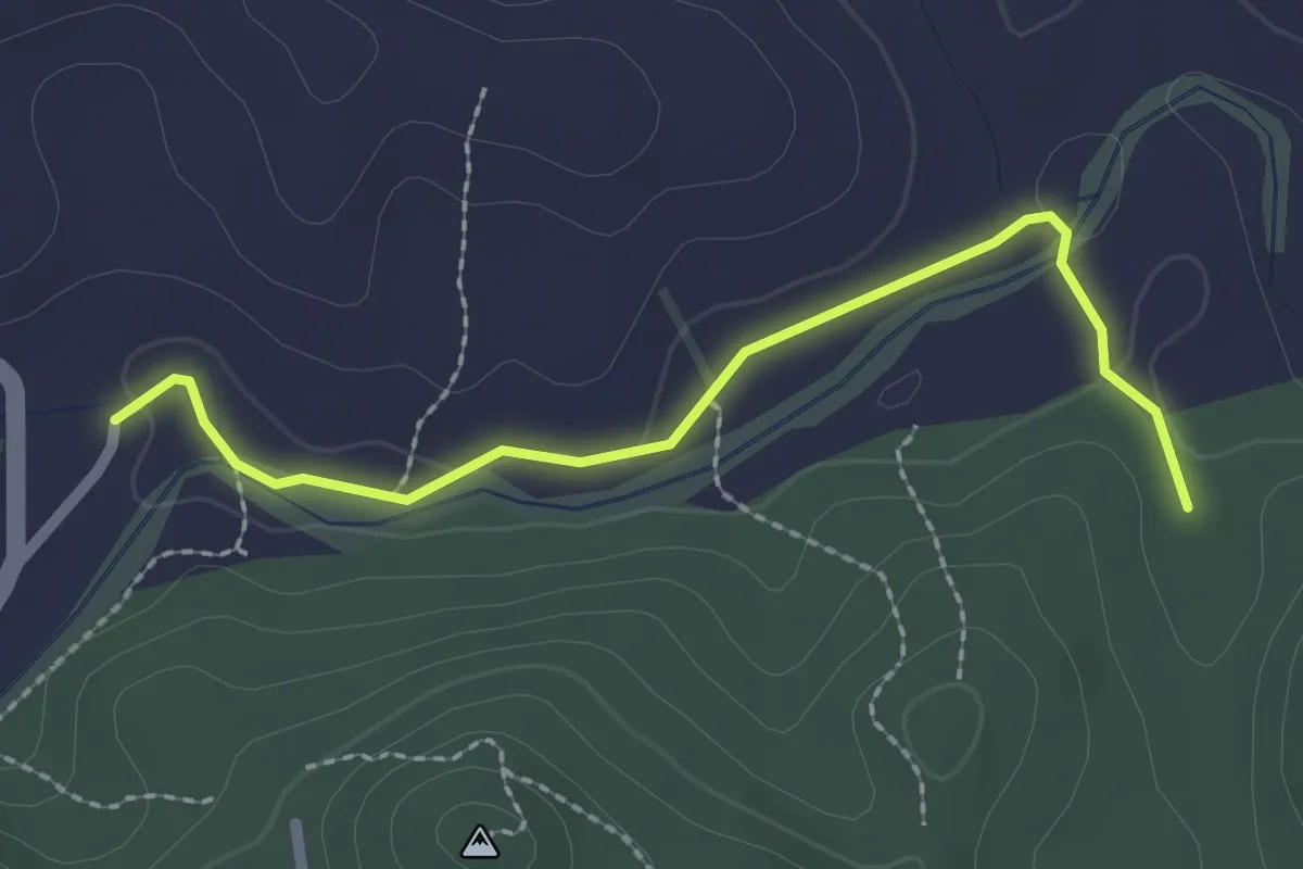
Easy · Trail
Estação da Biodiversidade da Ribeira de Alportel
2.6 km · ↑ 23 m · 40 min · 3 km away
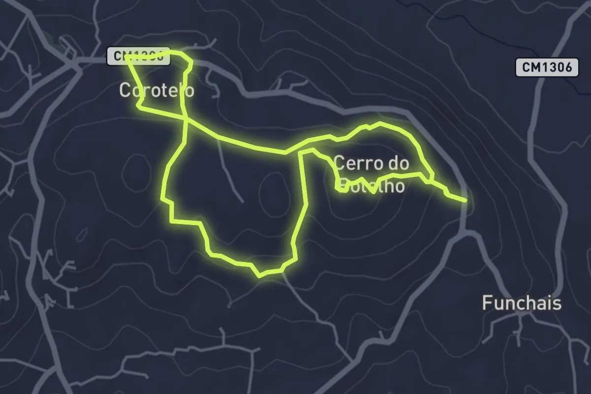
Easy · Summit
Trilho do Corotelo
5.0 km · ↑ 190 m · 1 h 39 min · 3 km away
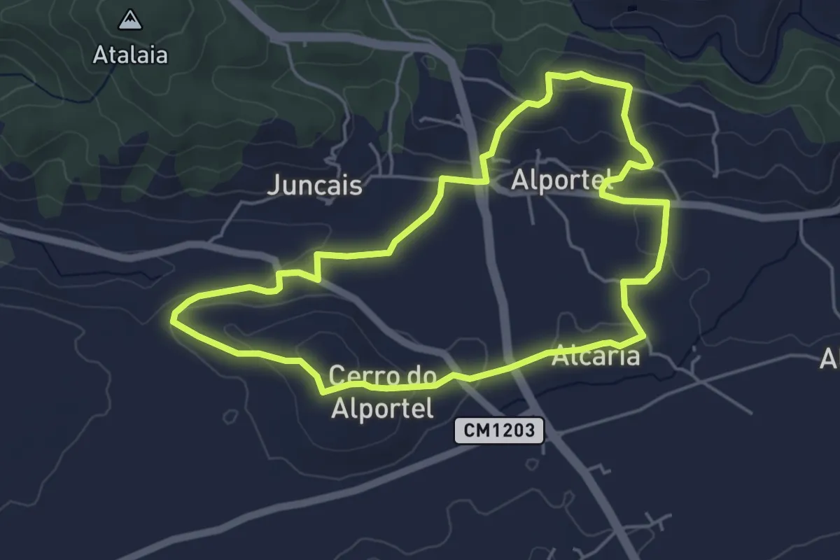
Easy · Trail
Passeio no vale por caminhos de almocreves (Trilho da Alcaria)
5.3 km · ↑ 133 m · 1 h 37 min · 3 km away
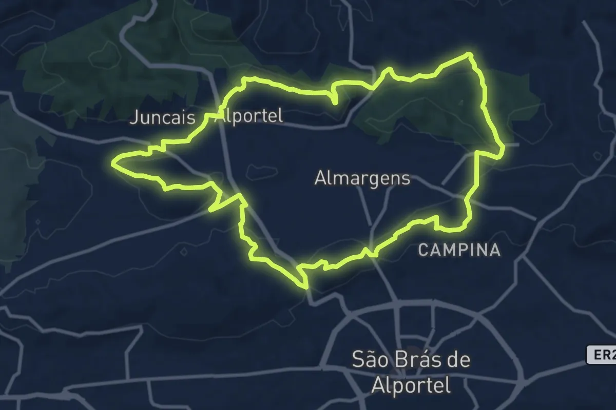
Medium · Trail
Passeio no vale por caminhos de almocreves (Trilho da Ribeira de Alportel)
12.4 km · ↑ 244 m · 3 h 38 min · 3 km away
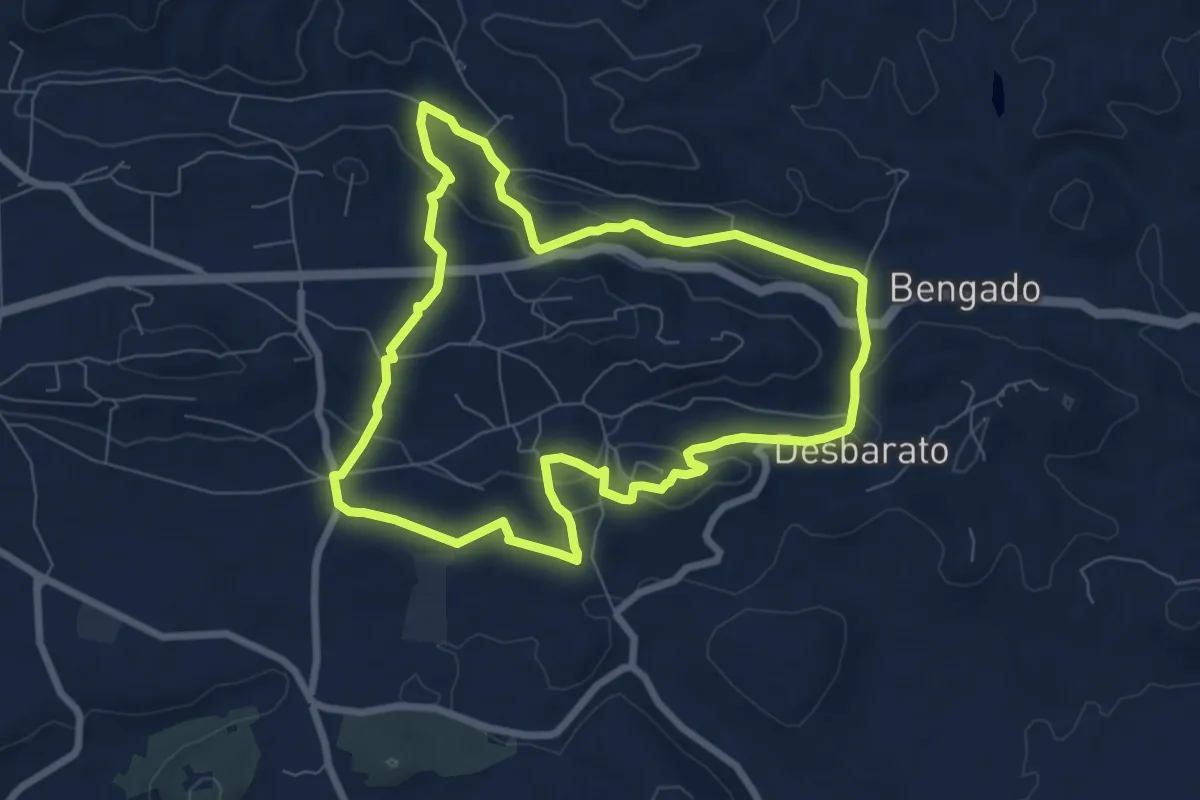
Medium · Trail
Caminhos e Encruzilhadas de Ir à Fonte
8.4 km · ↑ 229 m · 2 h 36 min · 4 km away
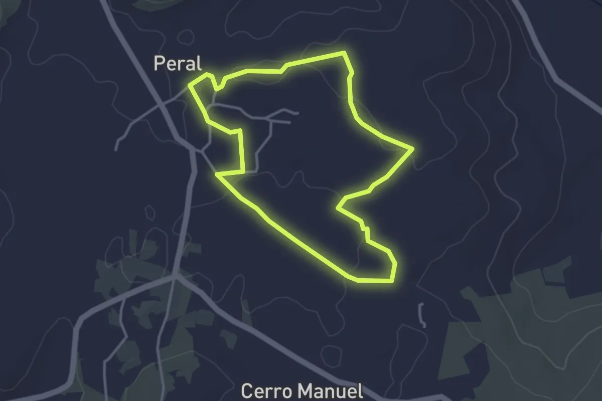
Easy · Trail
O Caminho da Escola
3.8 km · ↑ 37 m · 1 h 1 min · 4 km away
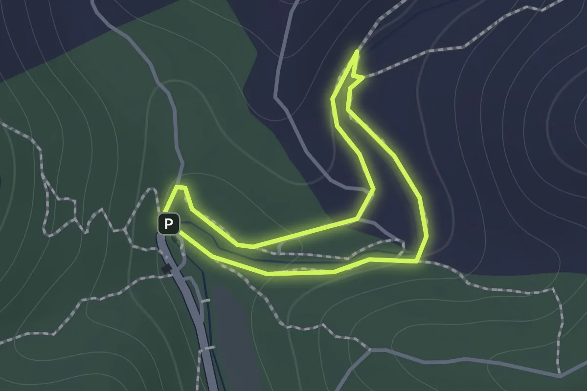
Easy · Trail
Parque da Fonte Férrea - Percurso 1 Familiar
1.1 km · ↑ 21 m · 19 min · 4 km away
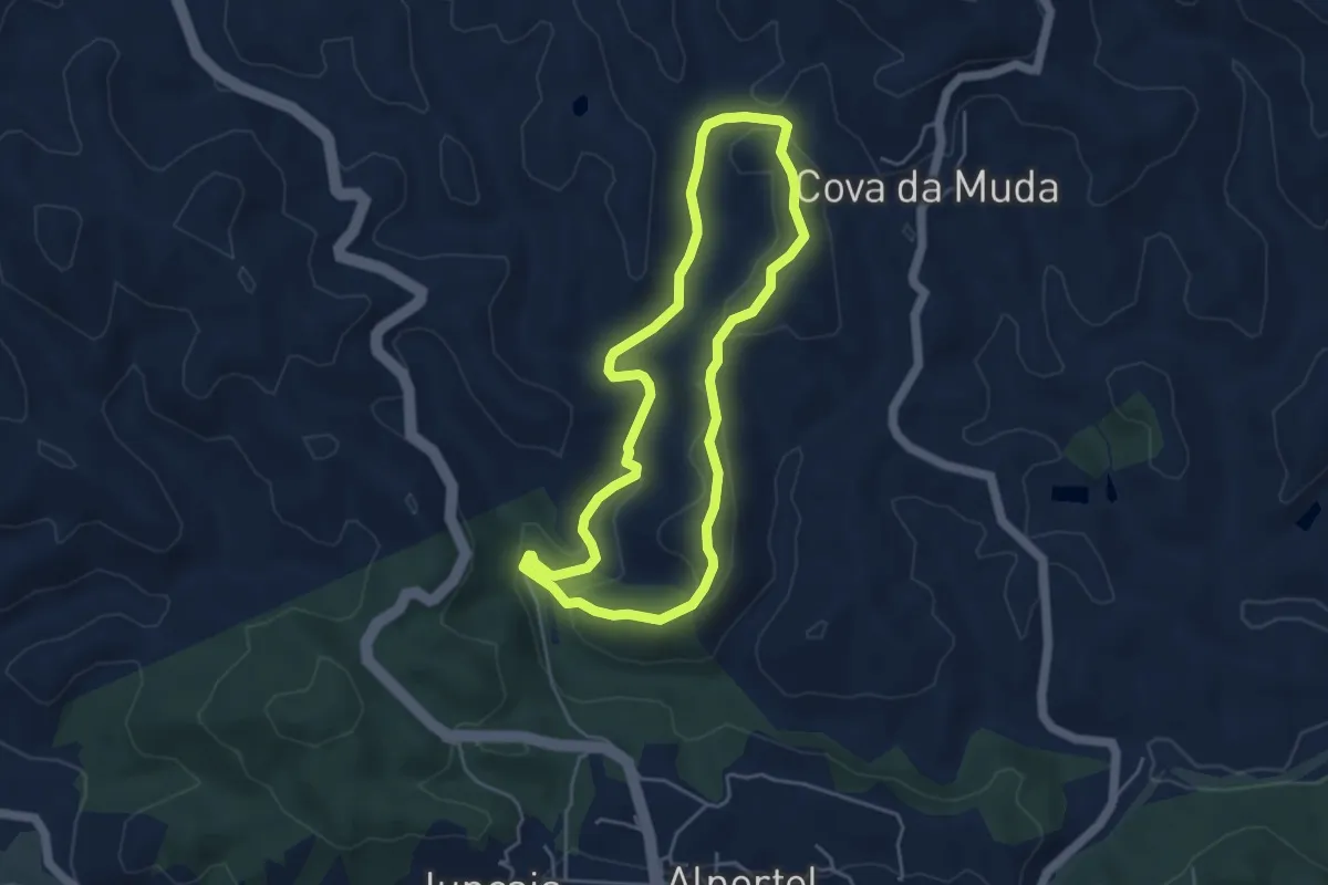
Easy · Trail
Parque da Fonte Férrea - Percurso 2 Pequeno
4.9 km · ↑ 115 m · 1 h 28 min · 5 km away
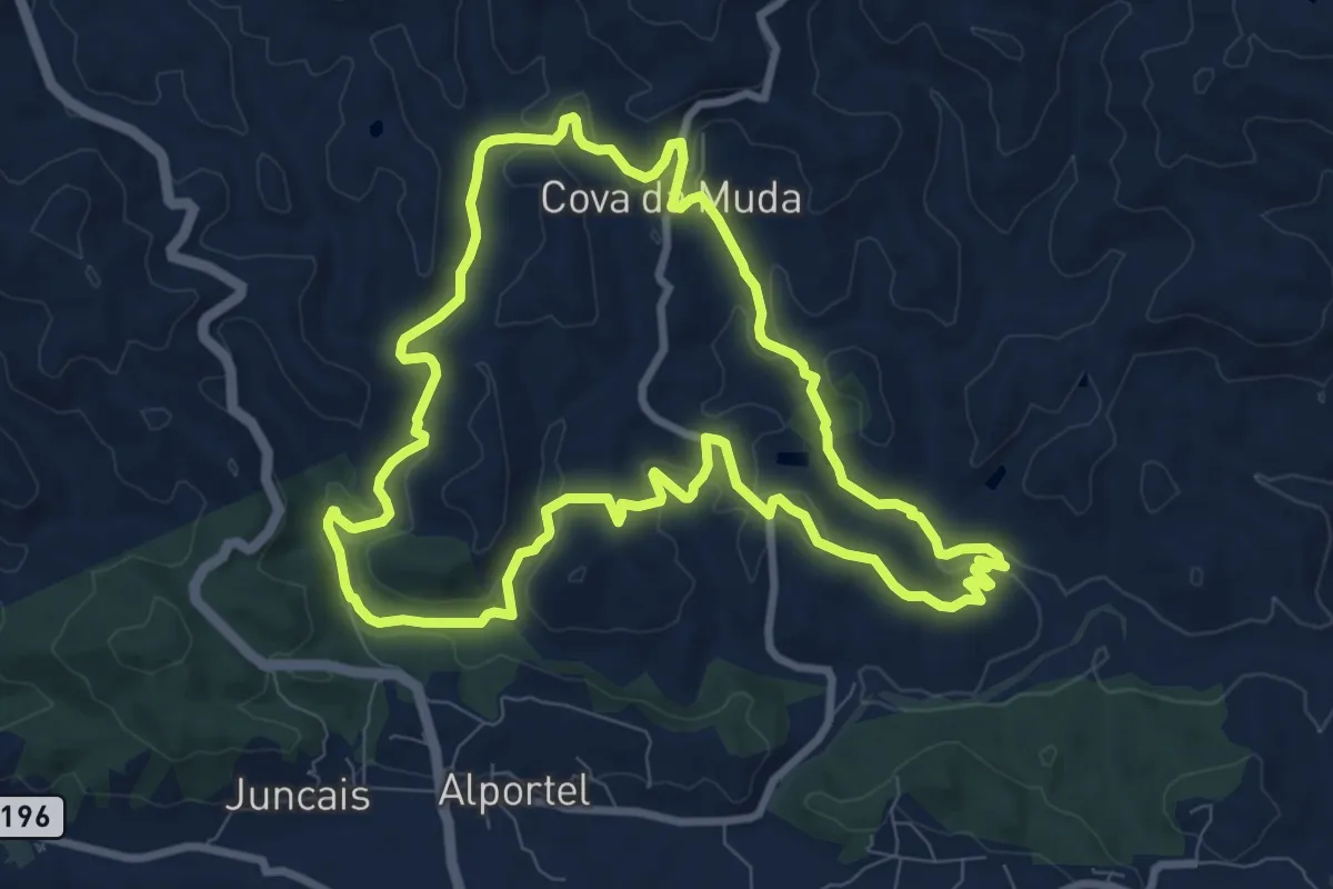
Medium · Trail
Parque da Fonte Férrea - Percurso 3 Grande
10.4 km · ↑ 204 m · 3 h 3 min · 5 km away
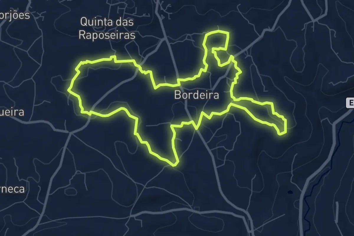
Medium · Trail
Caminhos de Bordeira
10.7 km · ↑ 200 m · 3 h 7 min · 5 km away
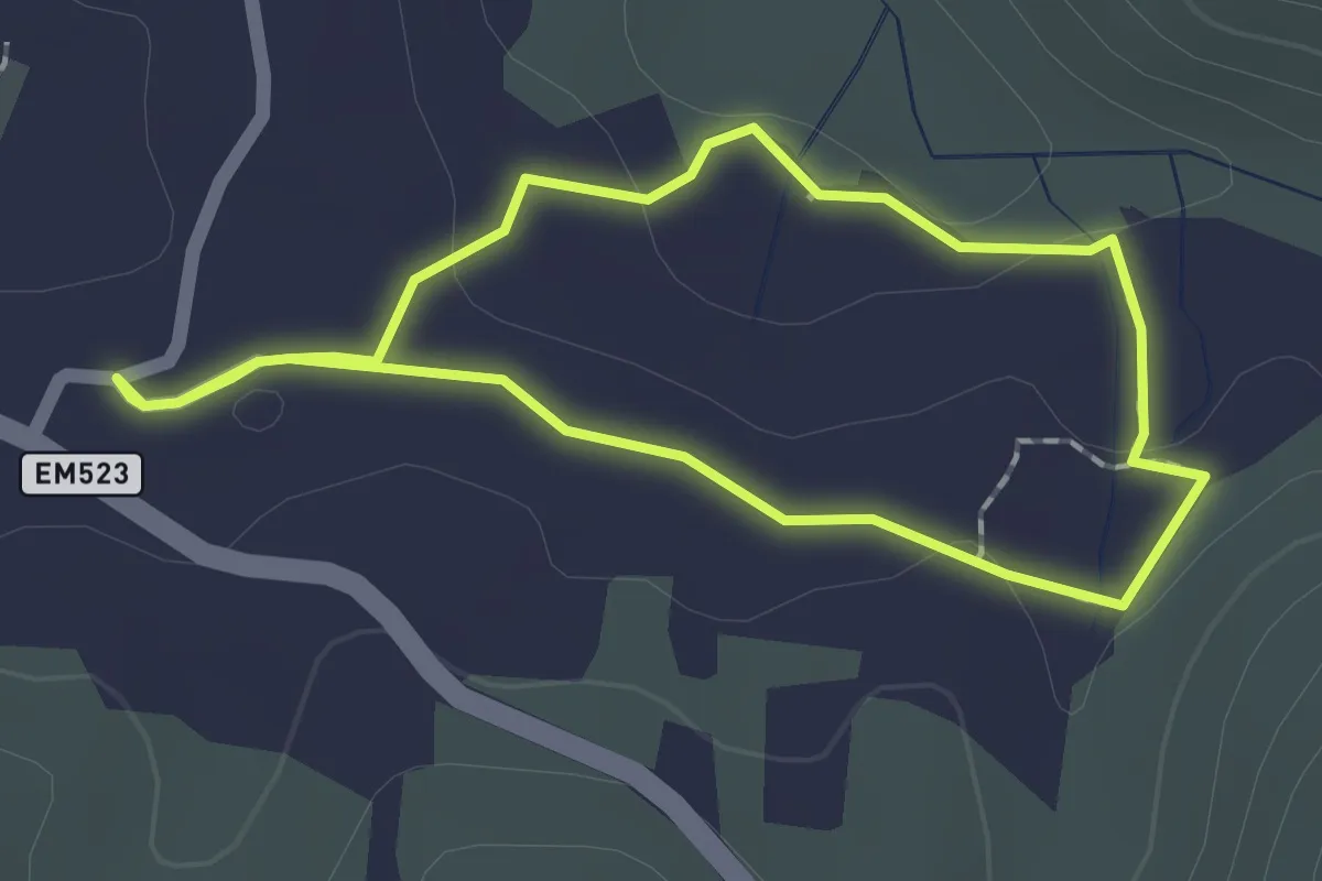
Easy · Trail
Olho Pariz (Rota da Água)
1.9 km · ↑ 17 m · 30 min · 6 km away
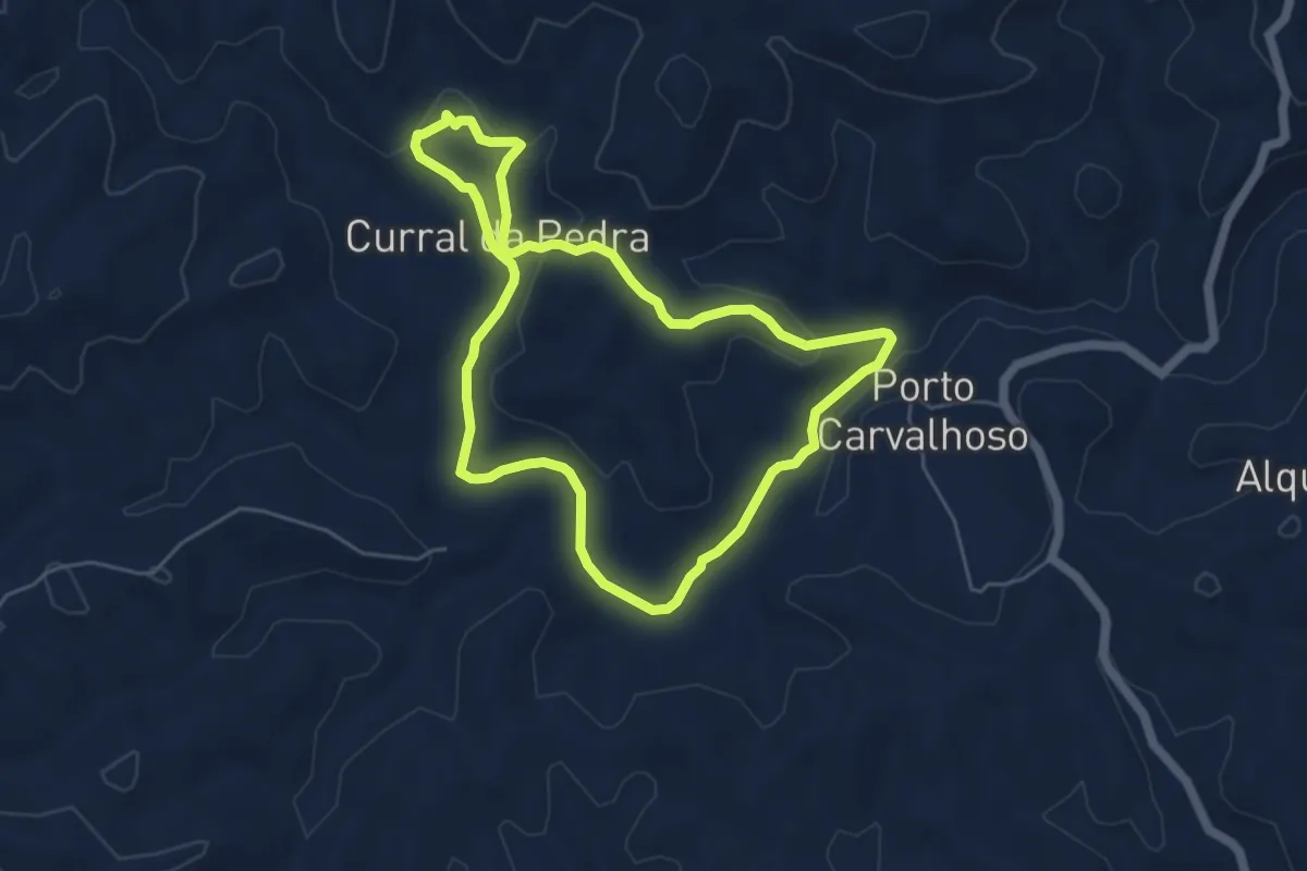
Easy · Trail
Curral da Pedra
5.8 km · ↑ 146 m · 1 h 45 min · 6 km away
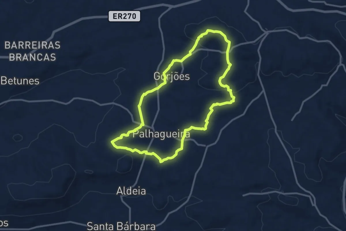
Medium · Summit
Pelas Veredas de Gorjões
10.1 km · ↑ 236 m · 3 h 2 min · 6 km away
Easy · Summit
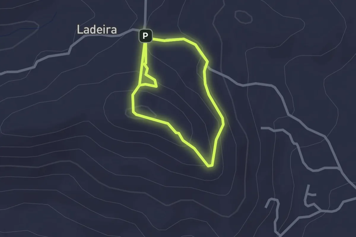
Cerro de Guilhm
2.0 km · ↑ 116 m · 44 min · 7 km away
Easy · Trail
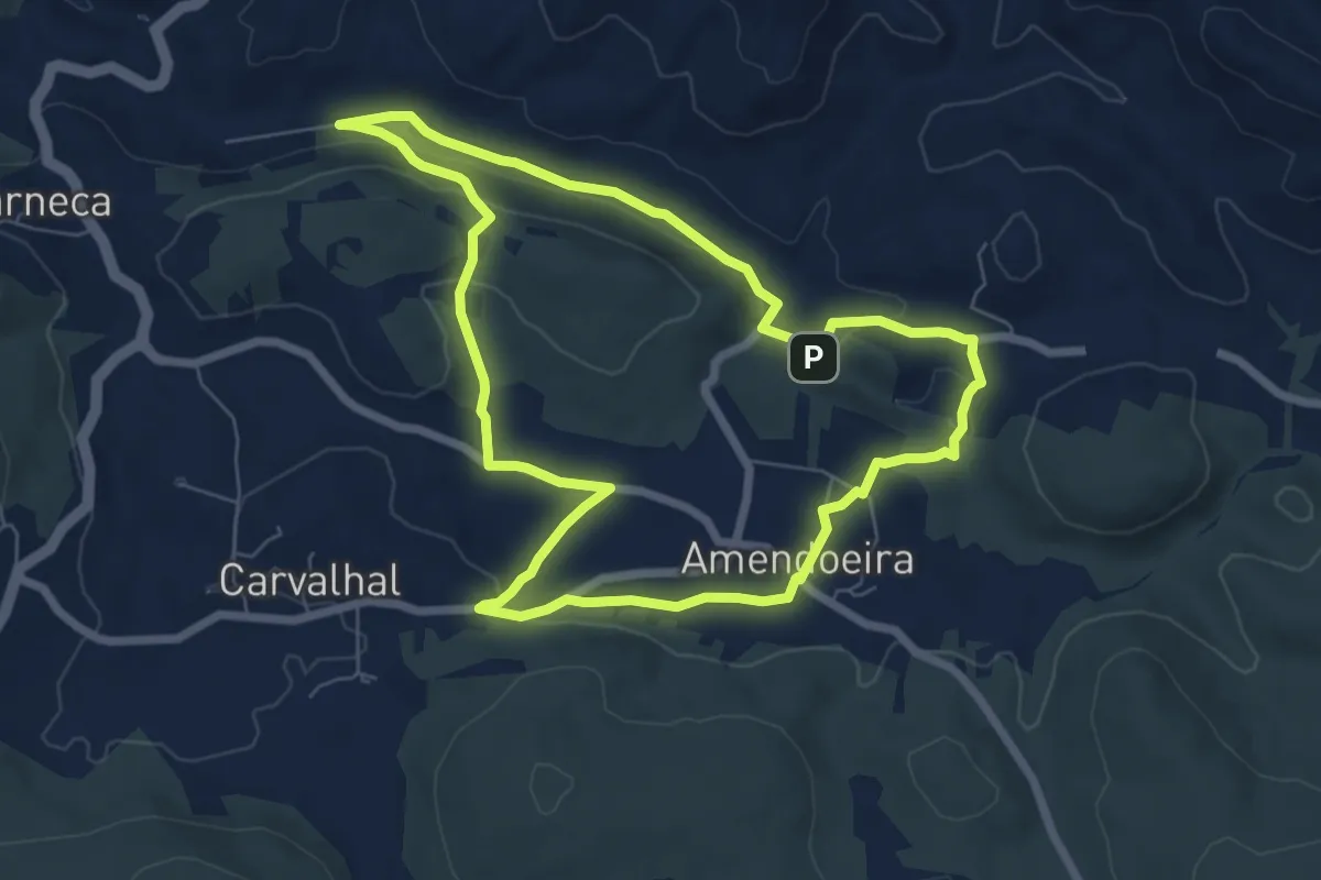
Amendoeira
7.8 km · ↑ 168 m · 2 h 19 min · 7 km away
Medium · Summit
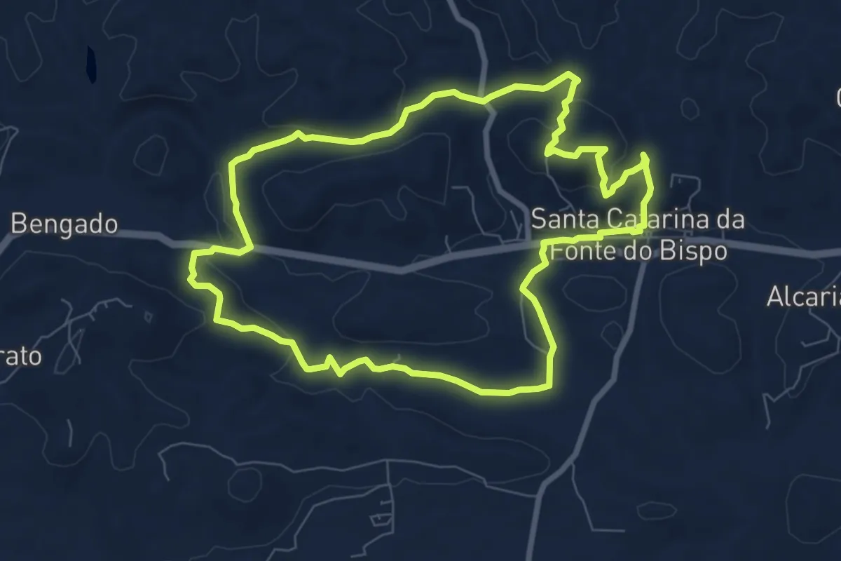
Percurso Moinhos e Hortas
8.6 km · ↑ 202 m · 2 h 35 min · 8 km away
Medium · Trail
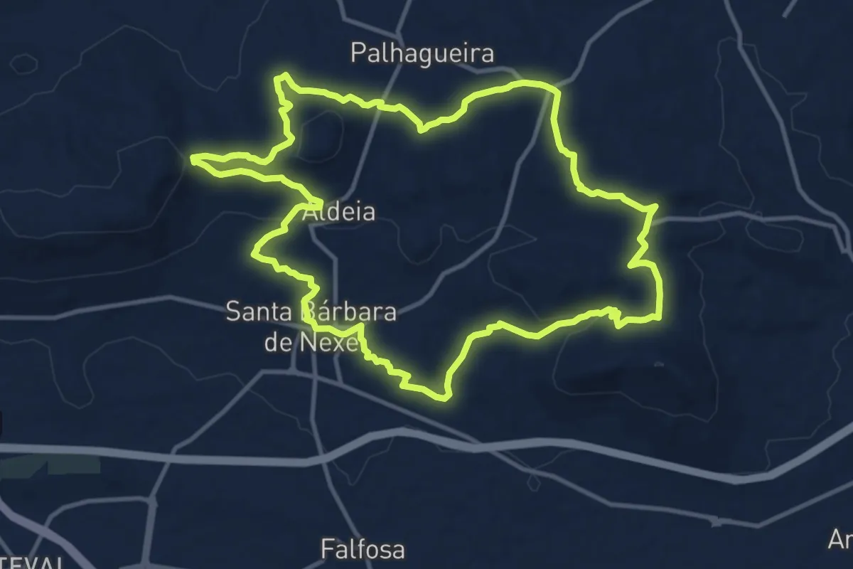
Trilhos de Santa Bárbara
13.8 km · ↑ 289 m · 4 h 4 min · 9 km away
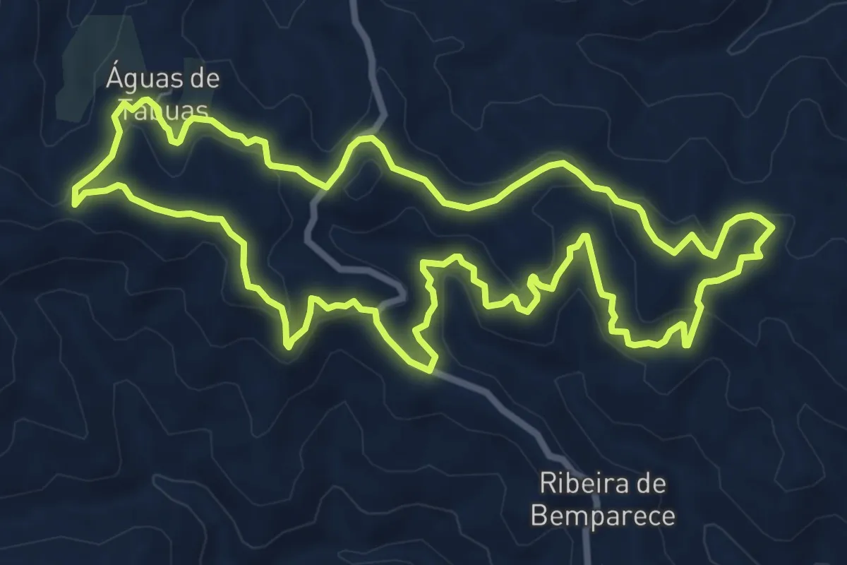
Medium · Summit
Fonte de Águas de Tábuas
9.3 km · ↑ 402 m · 3 h 12 min · 9 km away
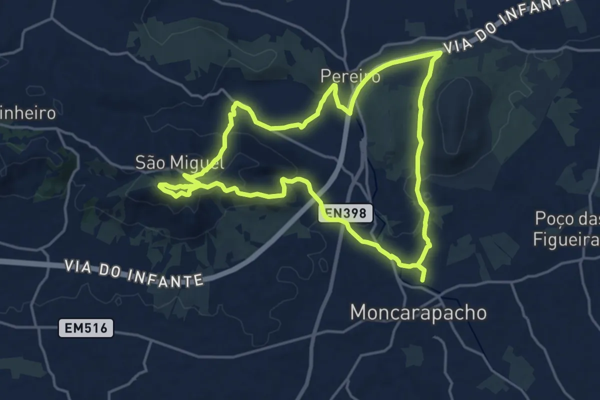
Medium · Summit
Caminho do Cerro de São Miguel
16.1 km · ↑ 416 m · 4 h 56 min · 9 km away
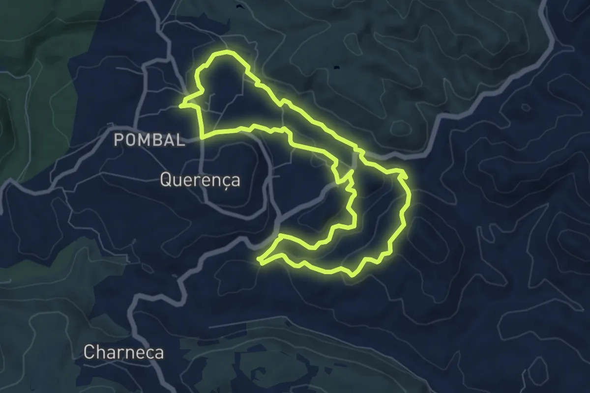
Medium · Trail
Serra e Montes
8.5 km · ↑ 245 m · 2 h 40 min · 9 km away
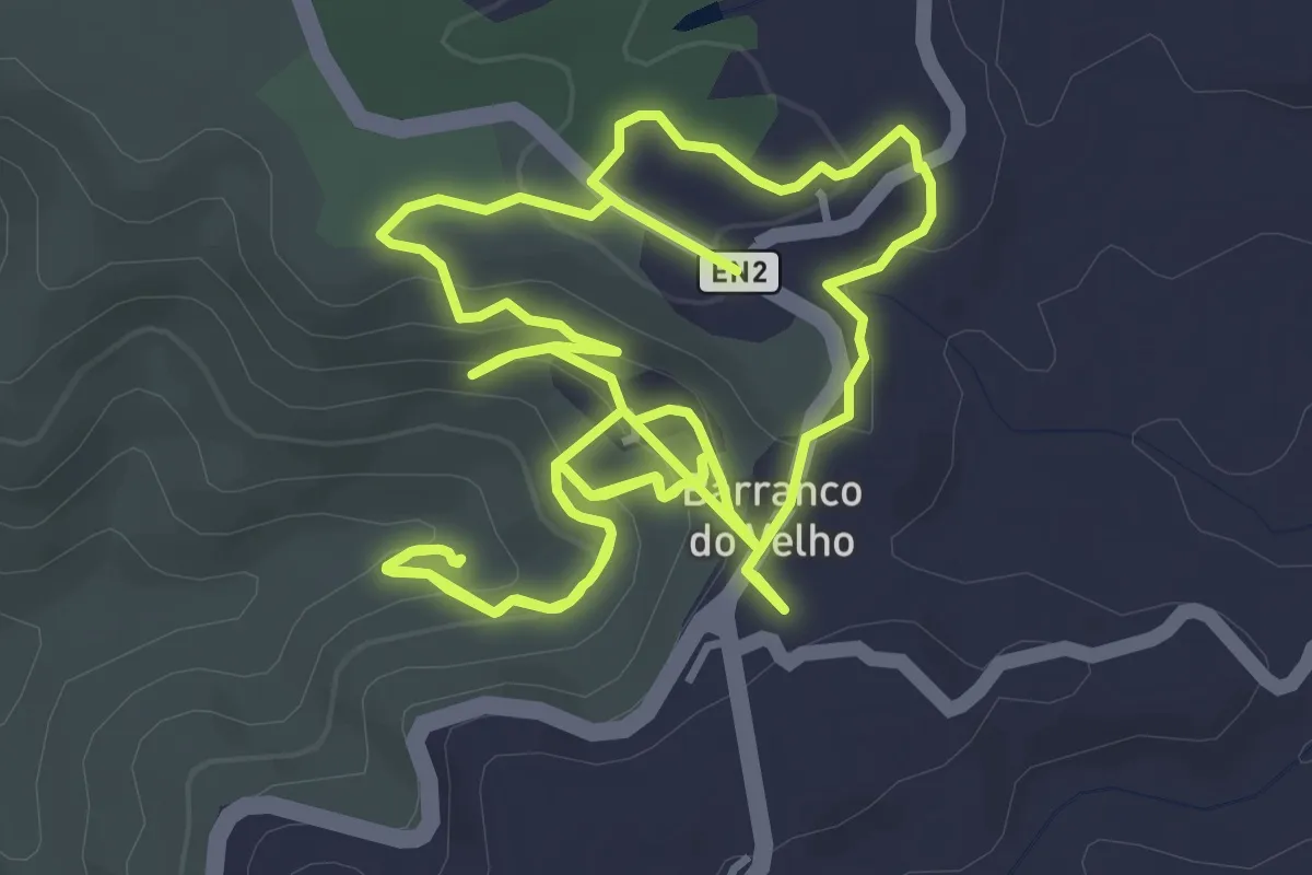
Easy · Trail
Barranco do Velho (Rota da Água)
5.7 km · ↑ 197 m · 1 h 53 min · 10 km away
Medium · Trail
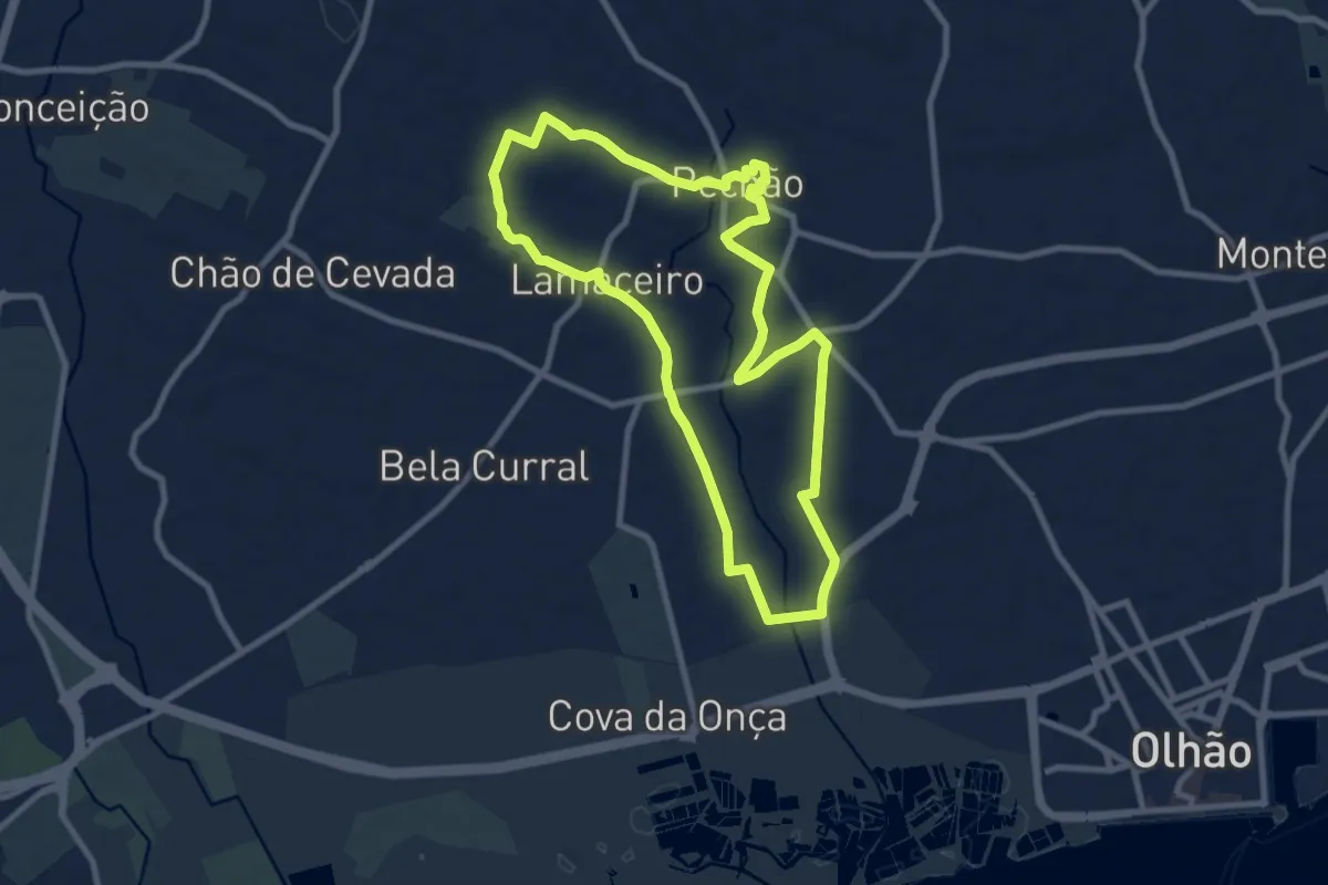
Caminho Rural
10.1 km · ↑ 111 m · 2 h 46 min · 11 km away
Easy · Trail
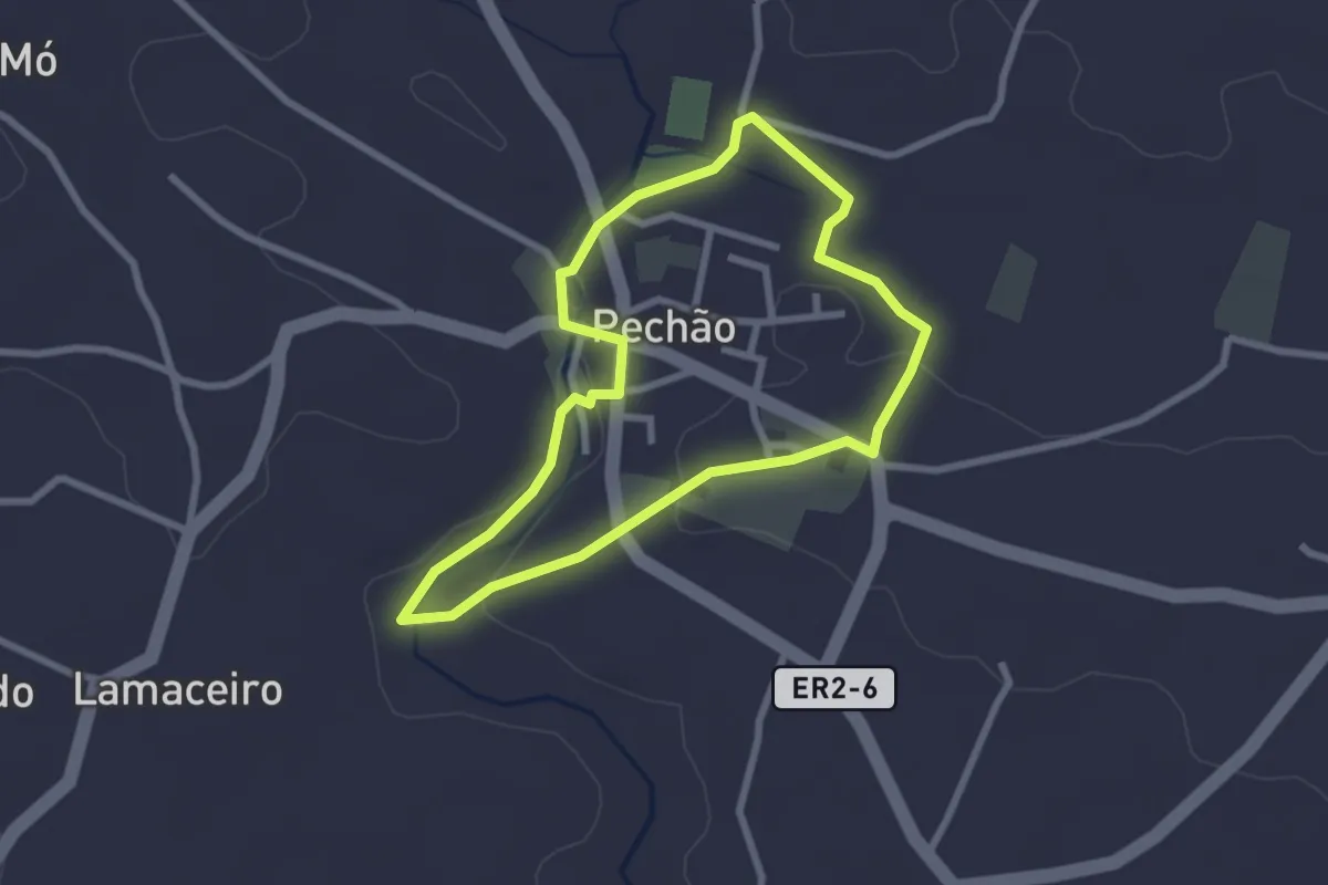
Caminho da Água
2.8 km · ↑ 29 m · 46 min · 11 km away
Easy · Trail
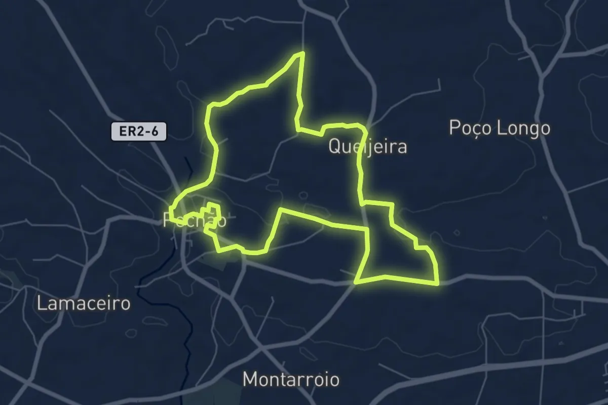
Pechão com História
7.4 km · ↑ 65 m · 2 h · 11 km away
Easy · Trail
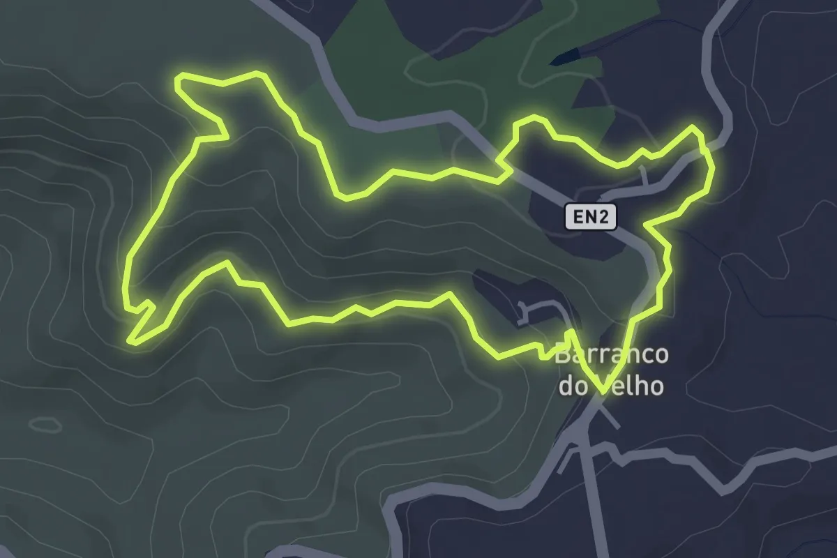
Barranco do Velho
4.5 km · ↑ 146 m · 1 h 26 min · 11 km away
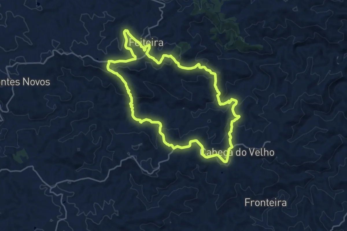
Medium · Summit
Cerros de Sobro
17.0 km · ↑ 548 m · 5 h 26 min · 11 km away
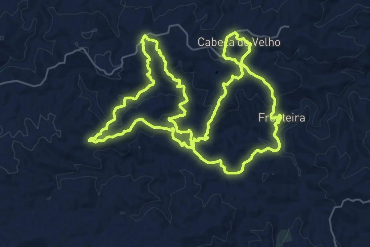
Demanding · Trail
Entre Vales Fontes e Memórias da Serra do Caldeirão
20.1 km · ↑ 706 m · 6 h 34 min · 11 km away
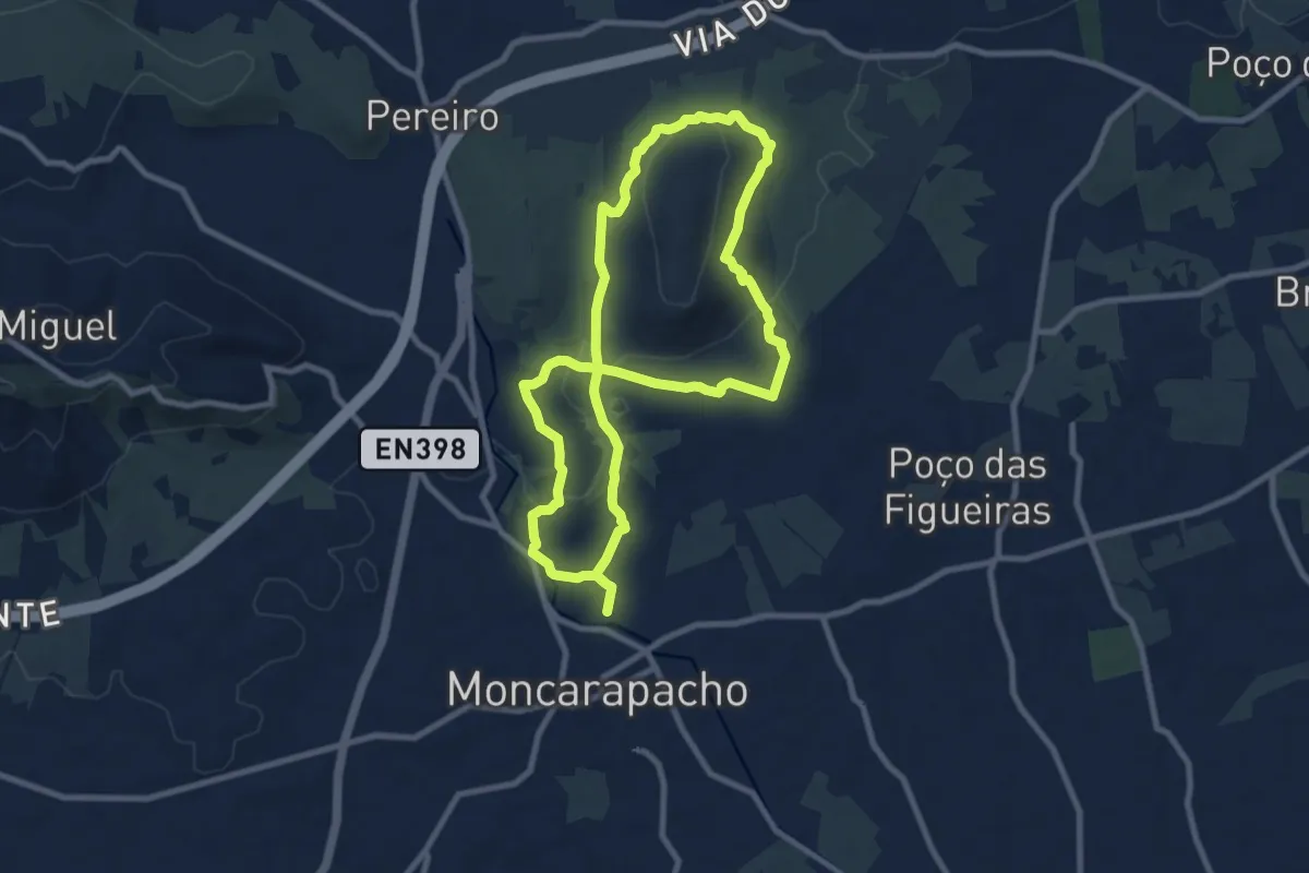
Medium · Trail
Caminhos Romanos e Cerro da Cabeça
9.9 km · ↑ 216 m · 2 h 57 min · 11 km away
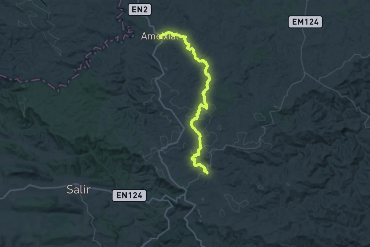
Demanding · Trail
Via Algarviana - Ligação 6: Ameixial - Barranco do Velho
21.8 km · ↑ 619 m · 6 h 47 min · 11 km away
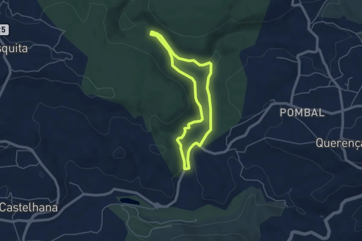
Easy · Trail
Fonte Benémola
4.1 km · ↑ 80 m · 1 h 12 min · 12 km away
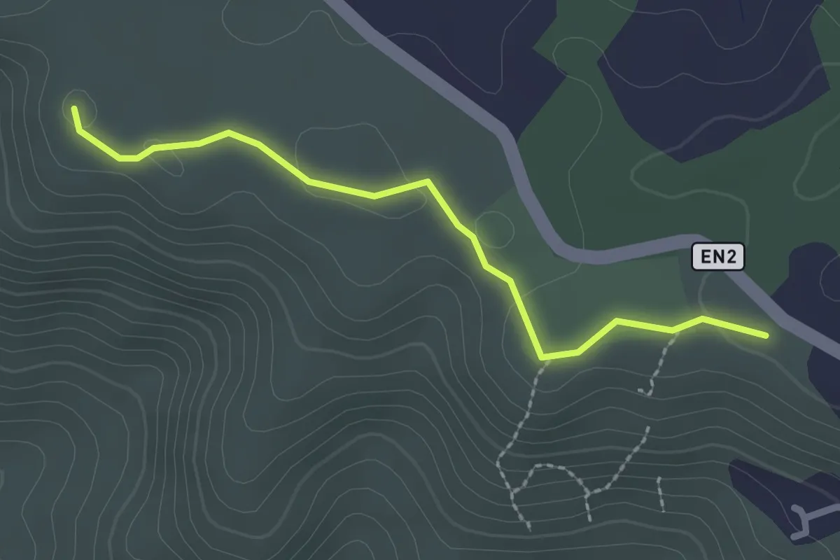
Easy · Trail
Estação da Biodiversidade de Barranco do Velho
2.6 km · ↑ 15 m · 39 min · 12 km away
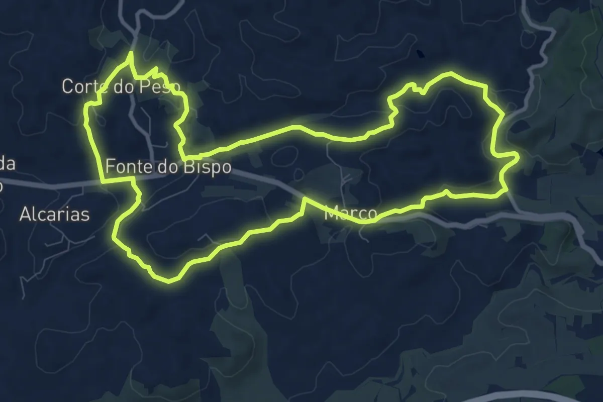
Medium · Trail
Telheiros do Barro
11.7 km · ↑ 247 m · 3 h 27 min · 12 km away
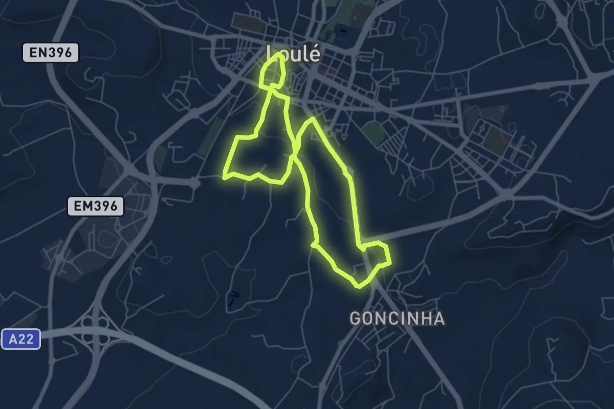
Easy · Trail
Encostas do Cadoiço
6.3 km · ↑ 112 m · 1 h 49 min · 12 km away
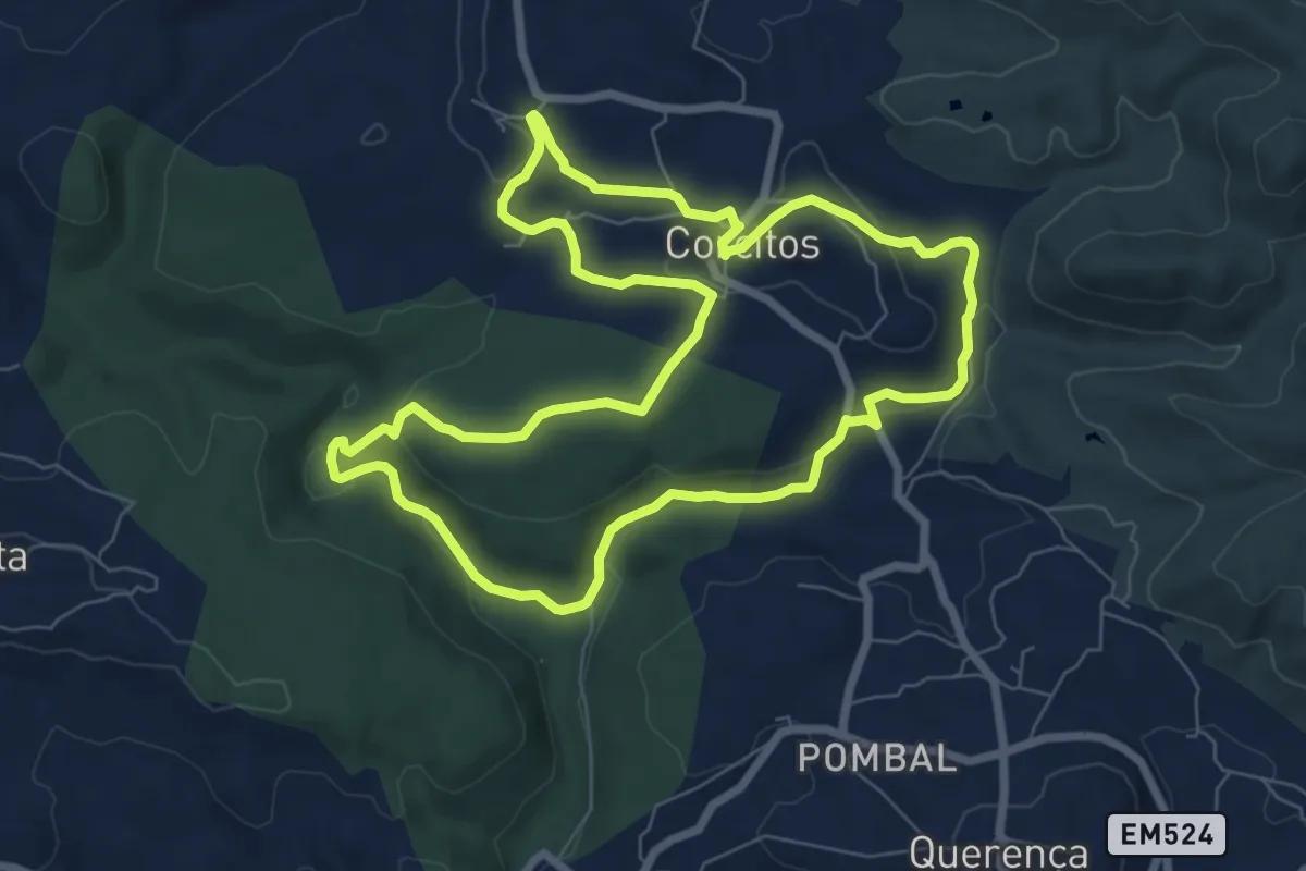
Medium · Trail
7 Fontes
8.7 km · ↑ 232 m · 2 h 41 min · 13 km away
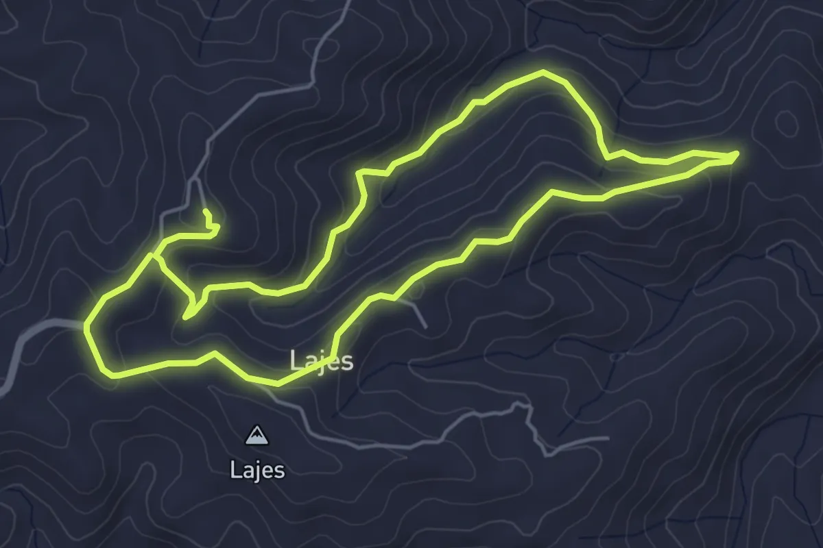
Easy · Trail
Barranco das Lajes
5.7 km · ↑ 198 m · 1 h 51 min · 13 km away
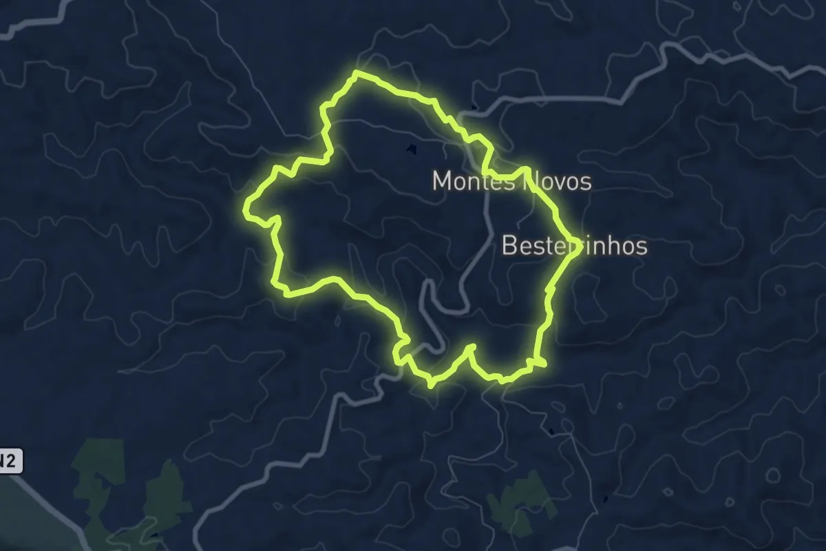
Medium · Trail
Montes Novos
9.2 km · ↑ 265 m · 2 h 52 min · 13 km away
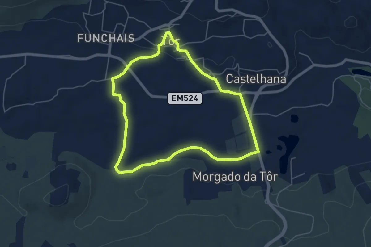
Easy · Trail
Tôr
5.2 km · ↑ 64 m · 1 h 27 min · 14 km away
Easy · Trail
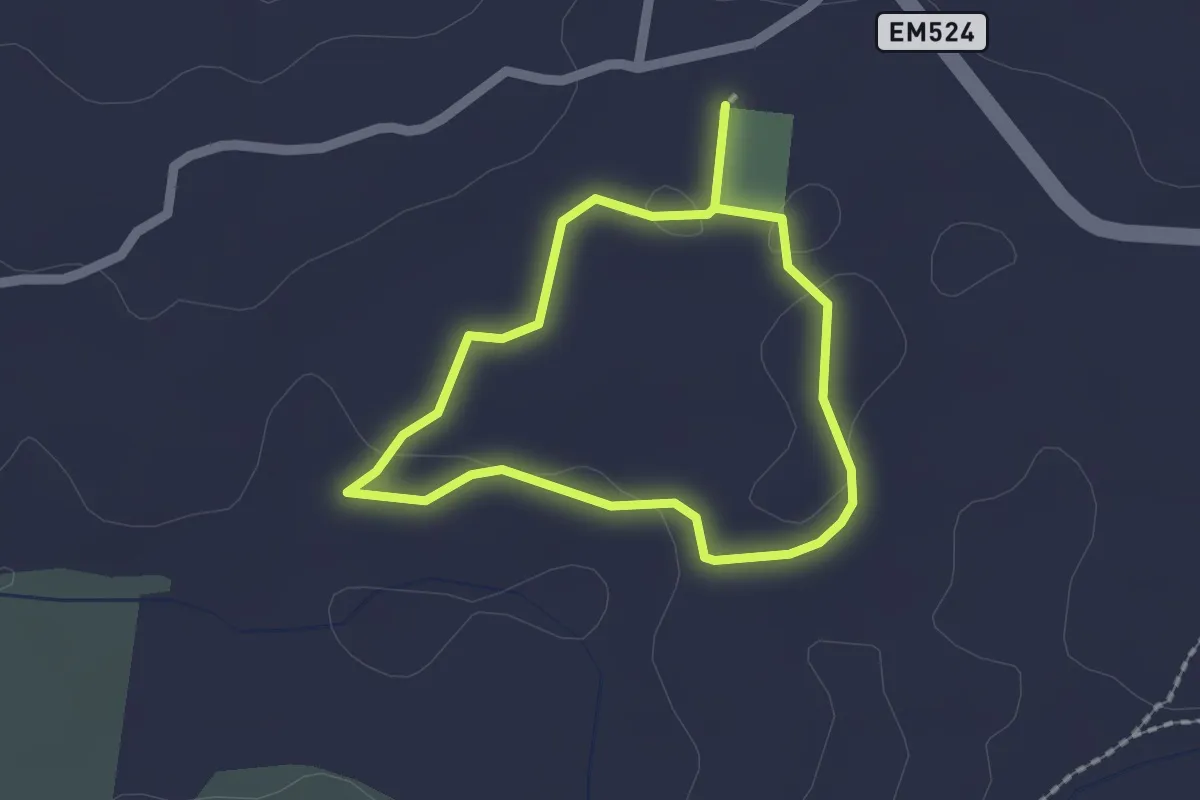
Estação da Biodiversidade de Tôr
1.7 km · ↑ 13 m · 27 min · 14 km away
Medium · Trail
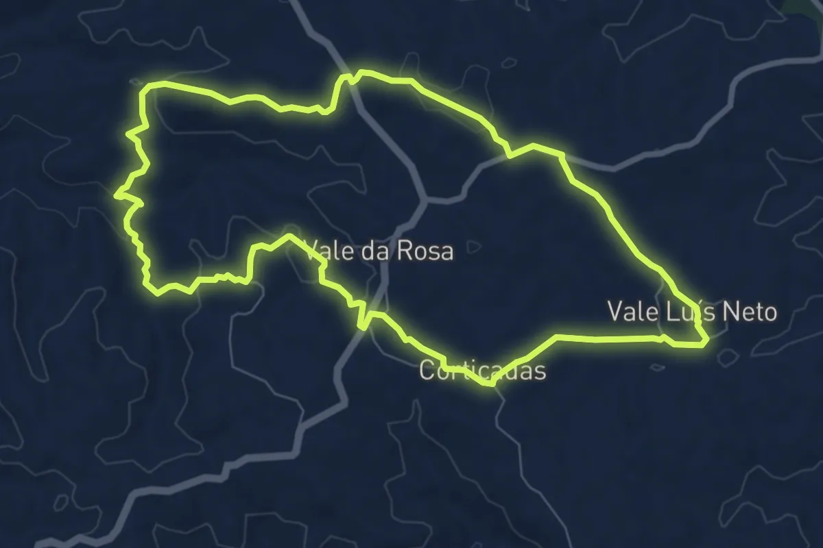
Vale da Rosa
9.0 km · ↑ 156 m · 2 h 35 min · 15 km away
Easy · Trail
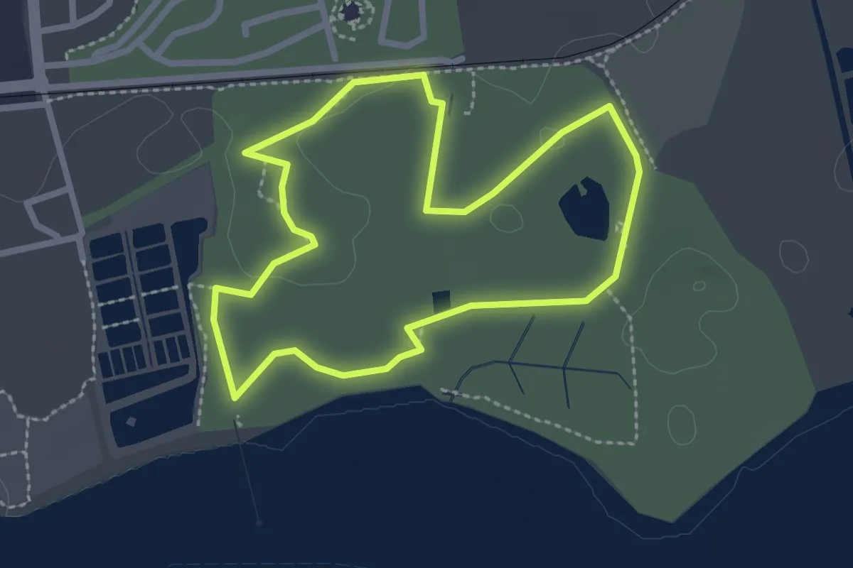
Percurso do Centro de Educação Ambiental de Marim
2.6 km · ↑ 5 m · 40 min · 15 km away