Trails near Sever do Vouga
18 hikes starting within 15 km, nearest first.
Nearest first
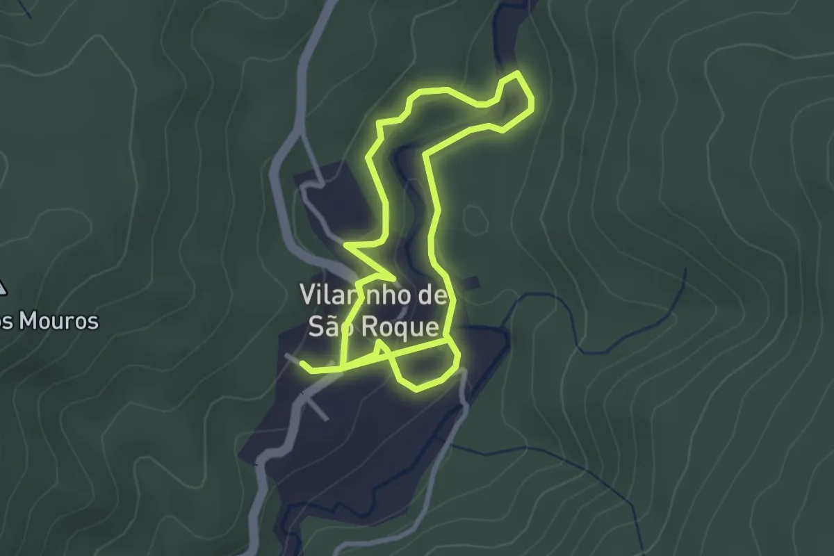
Easy · Trail
Trilho do Linho
2.7 km · ↑ 108 m · 53 min · 5 km away
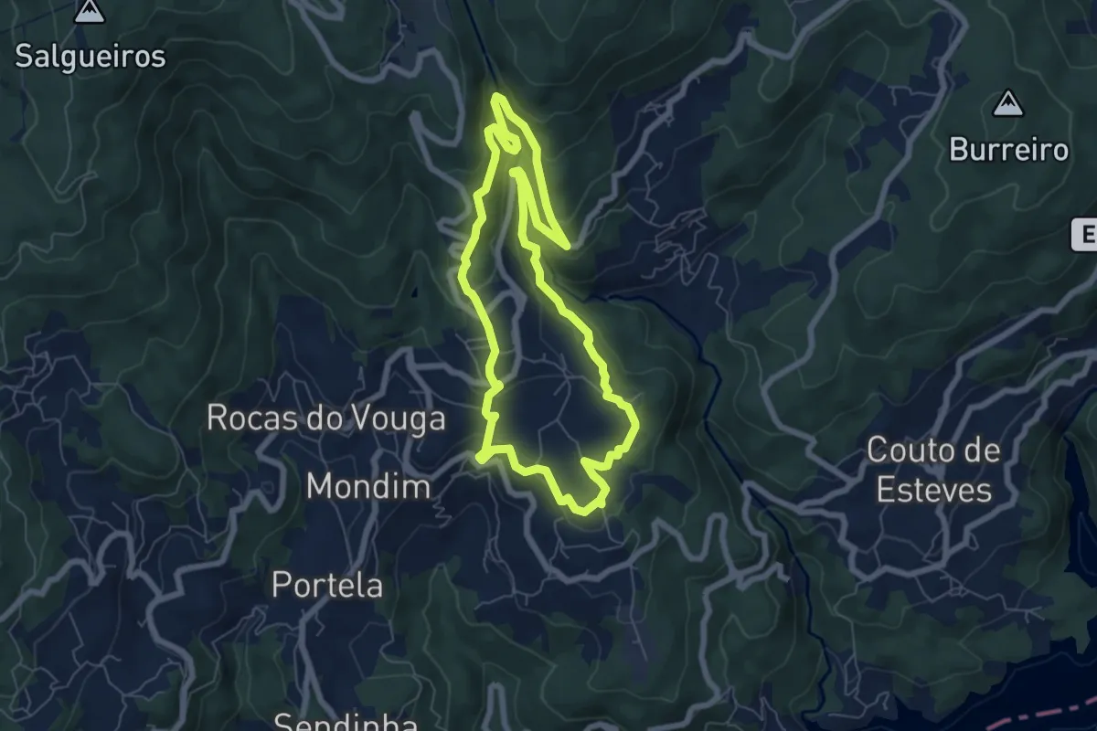
Medium · Trail
Trilho do Gresso
6.9 km · ↑ 345 m · 2 h 29 min · 5 km away
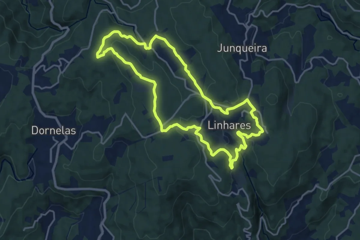
Medium · Trail
Aldeias do Arestal
12.8 km · ↑ 284 m · 3 h 49 min · 6 km away
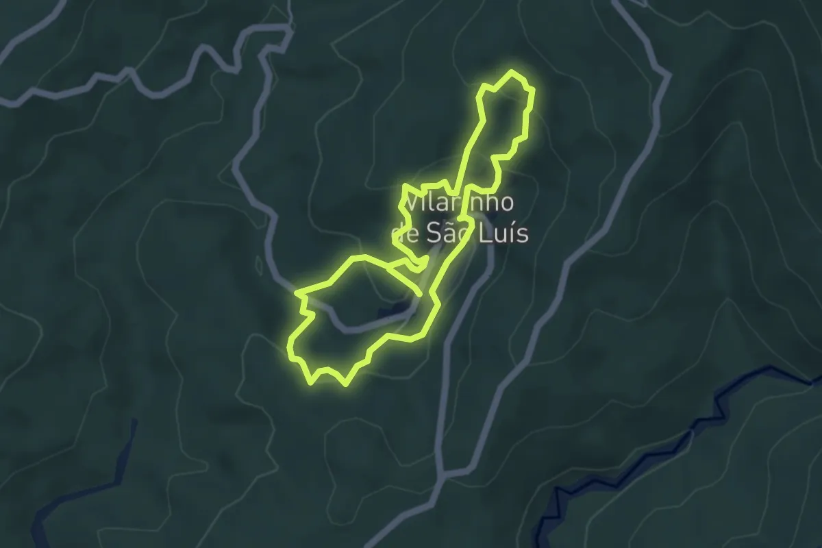
Easy · Trail
Percurso dos Espigueiros
4.2 km · ↑ 220 m · 1 h 31 min · 7 km away
Medium · Trail
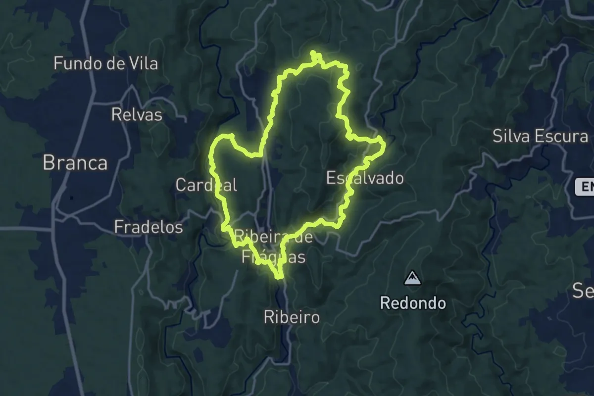
Trilho dos Três Rios
14.4 km · ↑ 469 m · 4 h 38 min · 7 km away
Medium · Trail
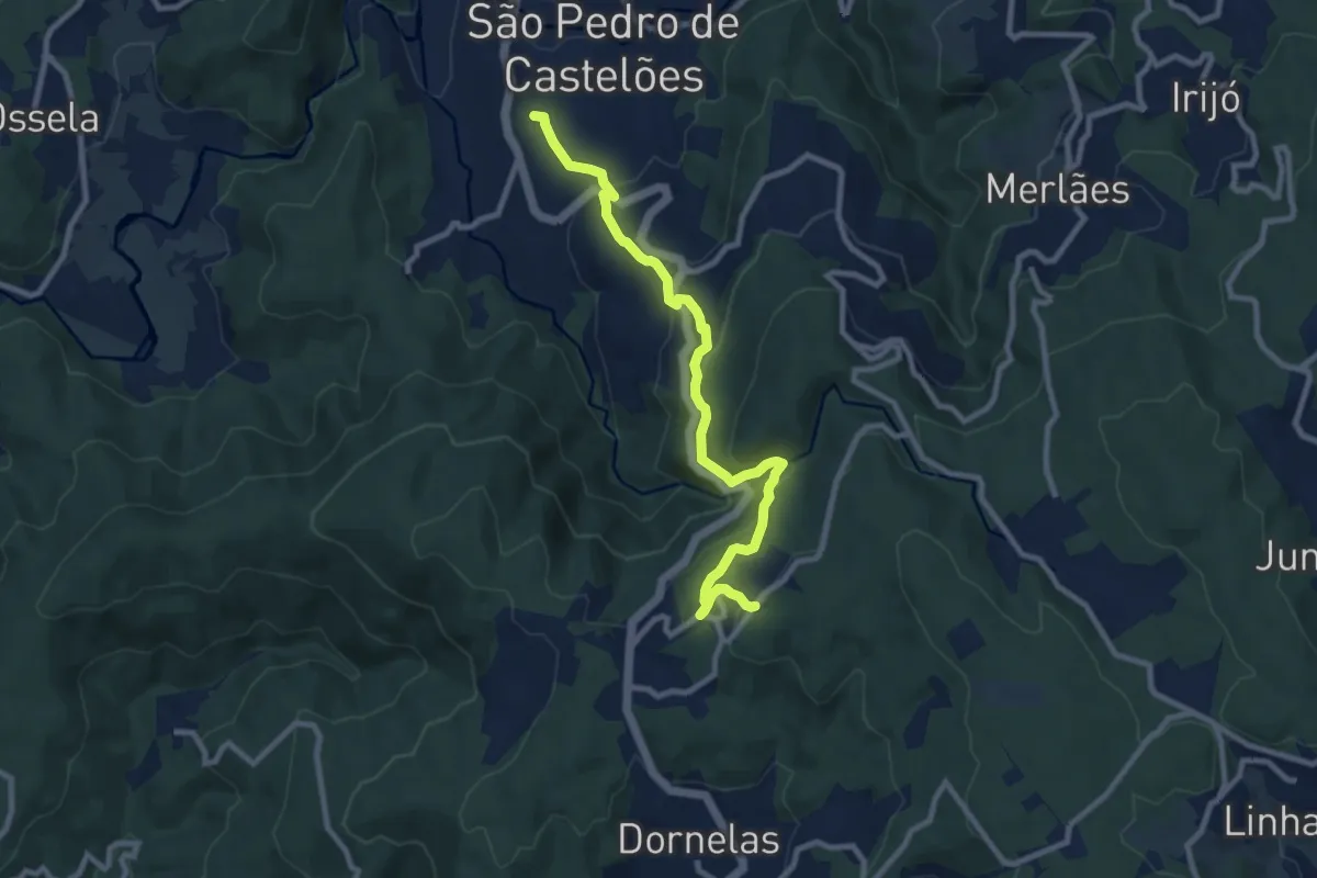
À Nossa Senhora da Saúde por Caminhos de Antigamente
10.4 km · ↑ 569 m · 3 h 42 min · 7 km away
Medium · Trail
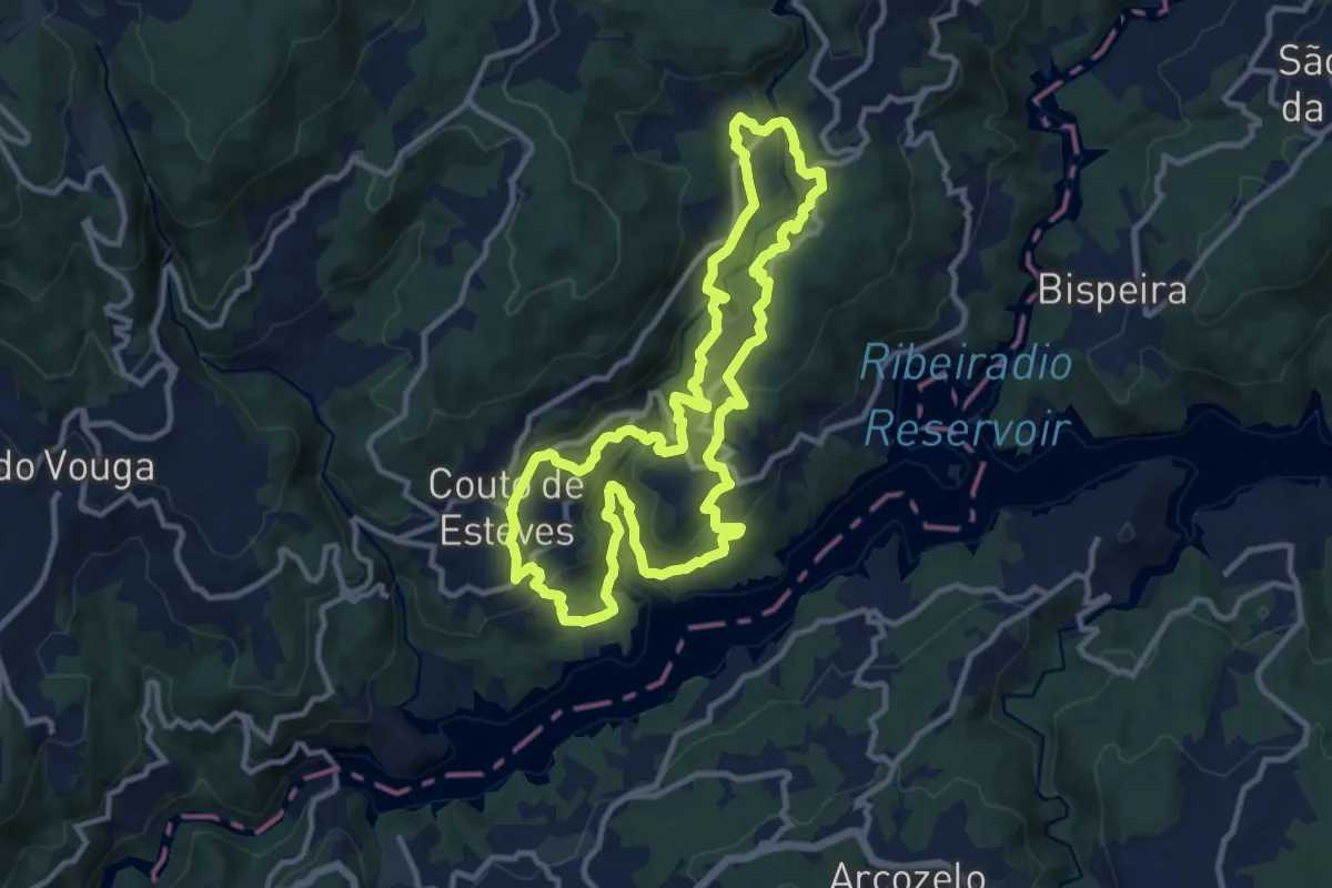
PR7 Trilho da Agualva
12.1 km · ↑ 455 m · 4 h 1 min · 9 km away
Medium · Trail
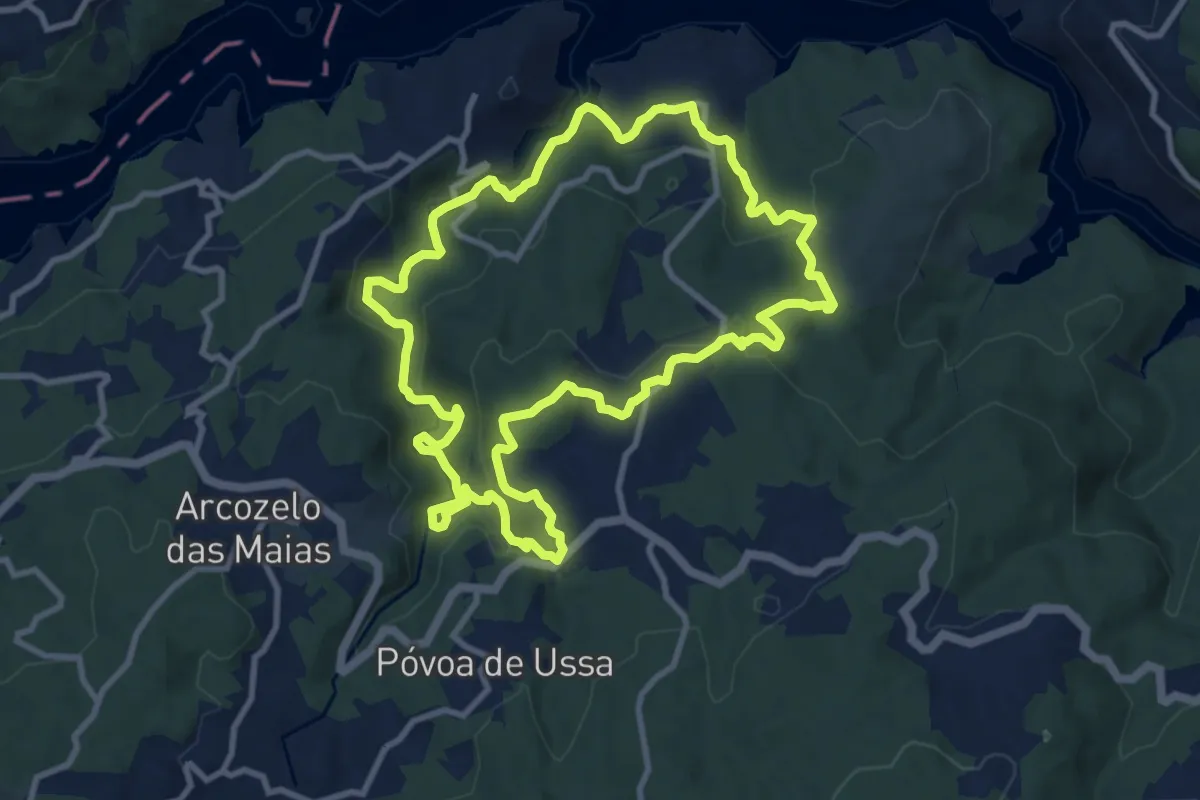
Rota dos Rios e Levadas
11.1 km · ↑ 413 m · 3 h 40 min · 9 km away
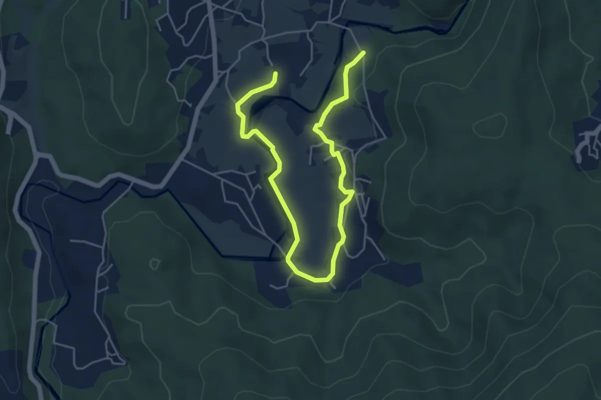
Easy · Trail
Roteiro Literário Ferreira de Castro
6.5 km · ↑ 146 m · 1 h 51 min · 11 km away
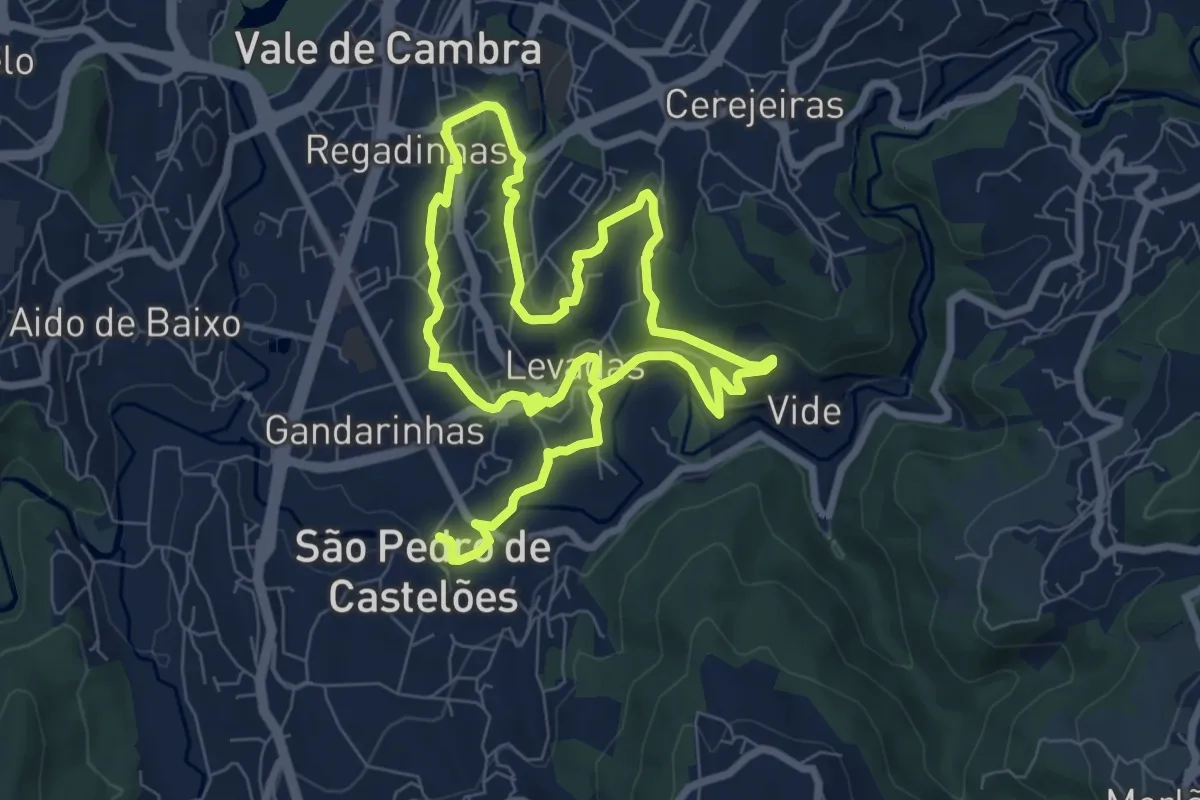
Medium · Trail
PR7 - Canais de Rega de Burgães
14.8 km · ↑ 346 m · 4 h 14 min · 11 km away
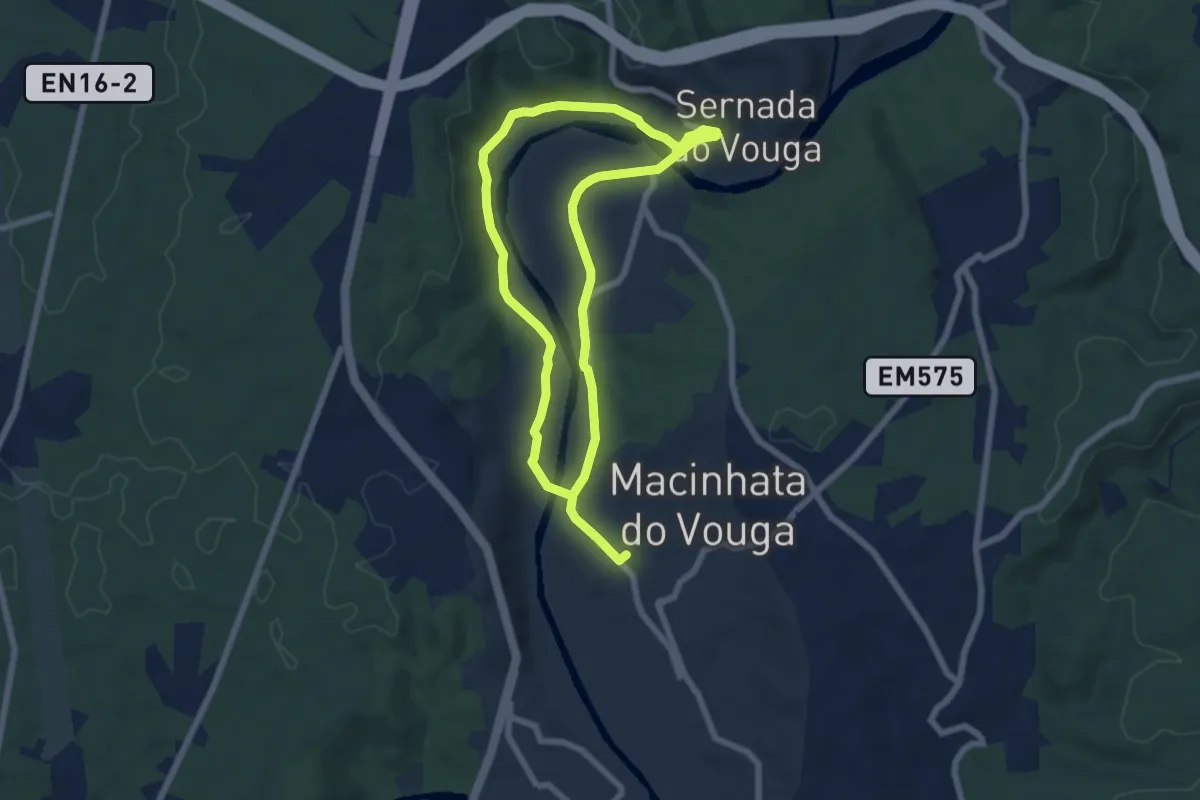
Medium · Trail
Rota Verde ferroviária
12.6 km · ↑ 133 m · 3 h 16 min · 12 km away
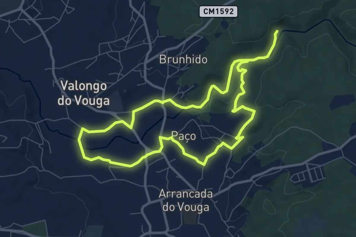
Medium · Trail
Trilho das Levadas
15.1 km · ↑ 214 m · 4 h 2 min · 12 km away
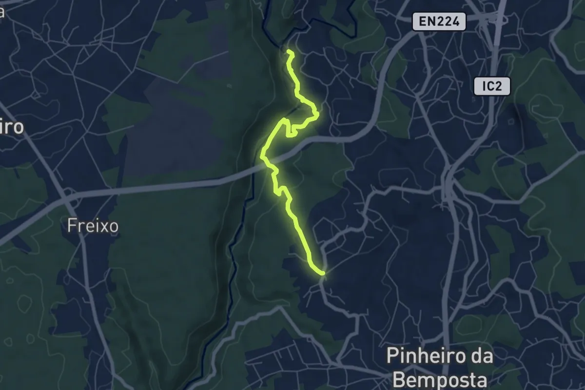
Easy · Trail
Rota do Rio
6.1 km · ↑ 169 m · 1 h 48 min · 12 km away
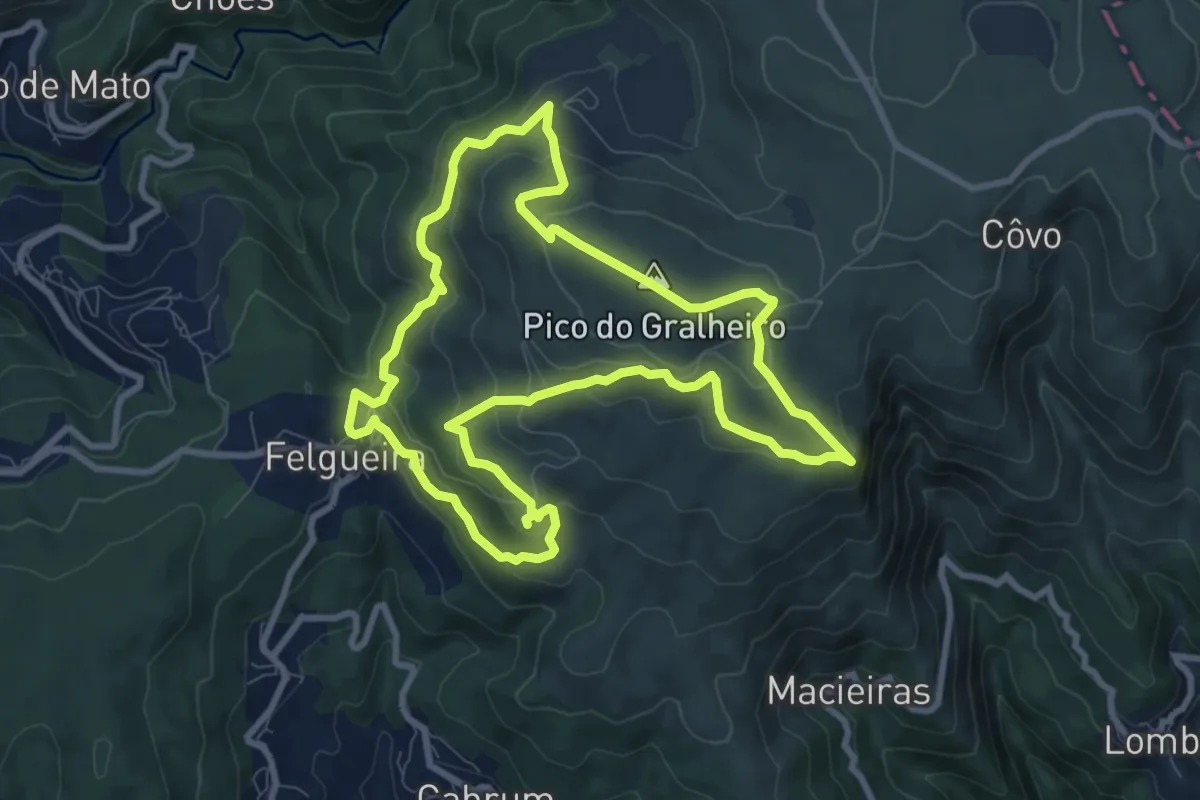
Medium · Summit
PR8 - Varandas da Freita
9.7 km · ↑ 459 m · 3 h 25 min · 13 km away
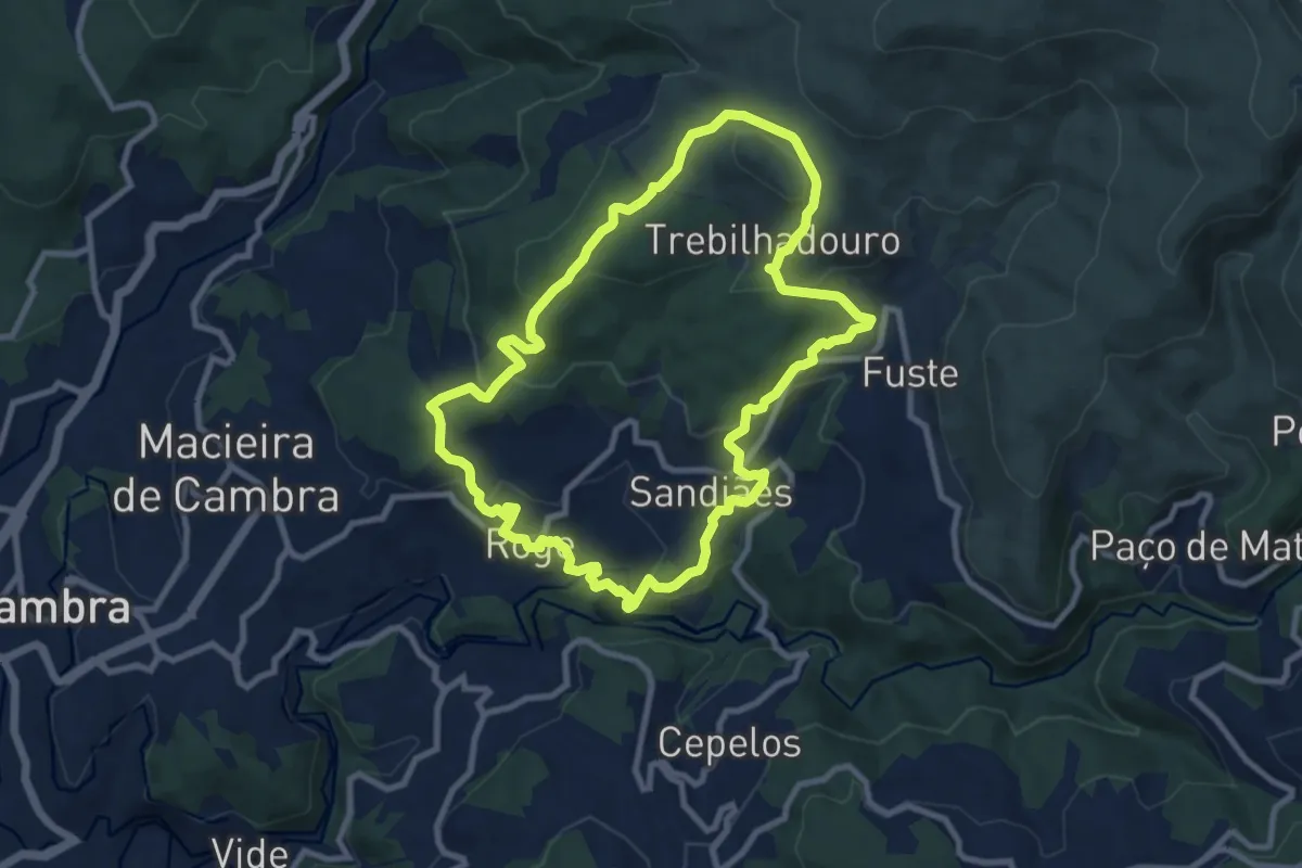
Medium · Trail
Trebilhadouro
9.9 km · ↑ 385 m · 3 h 18 min · 13 km away
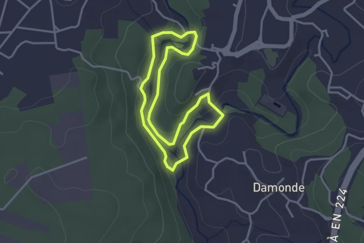
Easy · Trail
Rota dos Moinhos de Ul
2.8 km · ↑ 87 m · 54 min · 14 km away
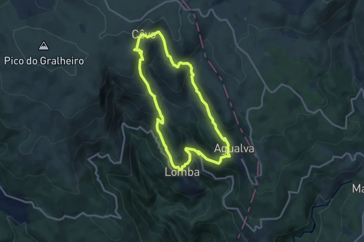
Medium · Trail
Na Vereda do Pastor
7.5 km · ↑ 503 m · 2 h 57 min · 15 km away
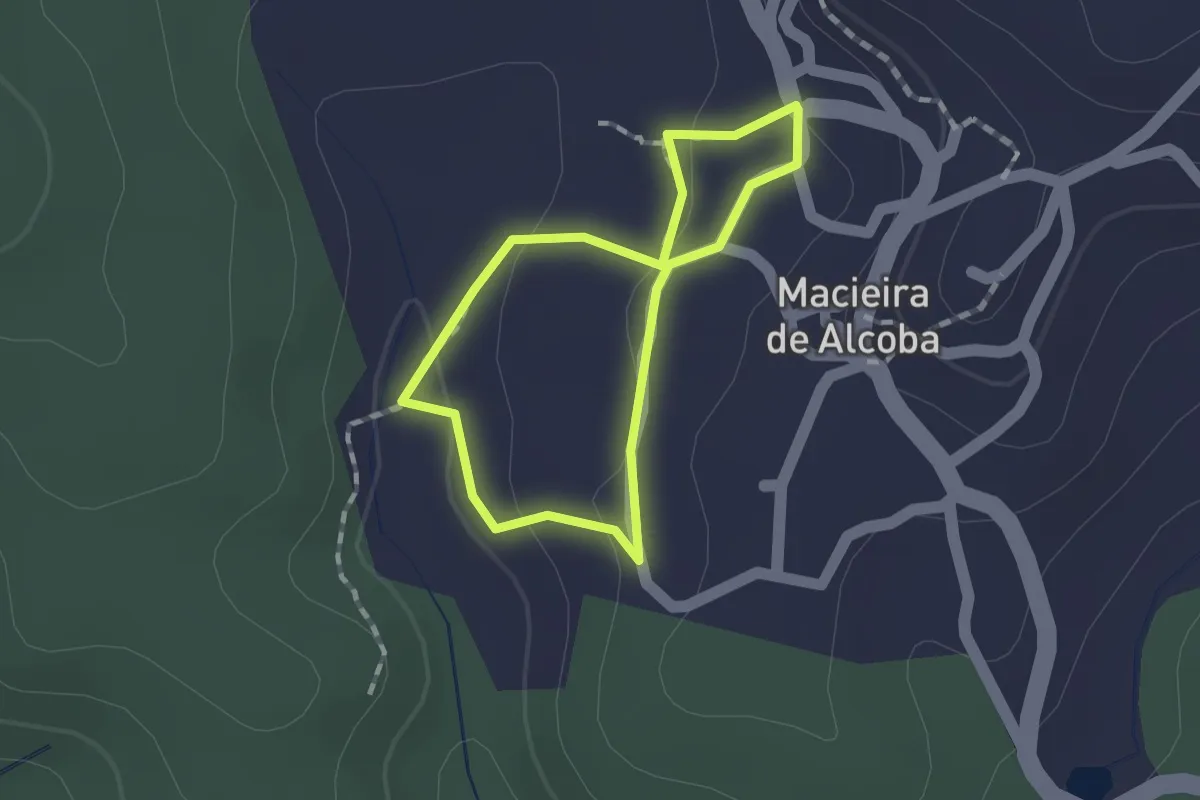
Easy · Trail
Estação da Biodiversidade de Macieira de Alcôba
1.2 km · ↑ 28 m · 22 min · 15 km away