Trails near Soajo
40 hikes starting within 15 km, nearest first.
Nearest first
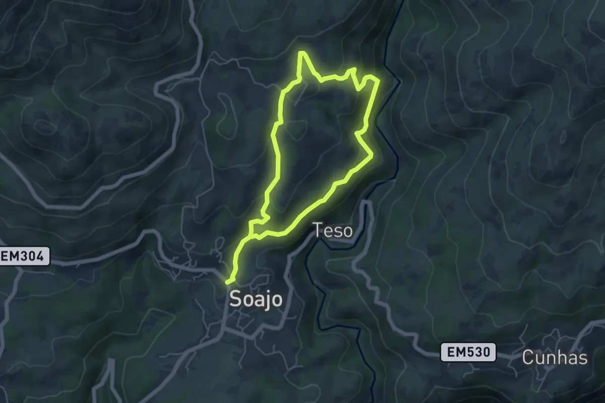
Medium · Trail
Caminhos do Pão e Caminhos da Fé (Percurso Curto)
9.1 km · ↑ 433 m · 3 h 6 min · under 1 km away
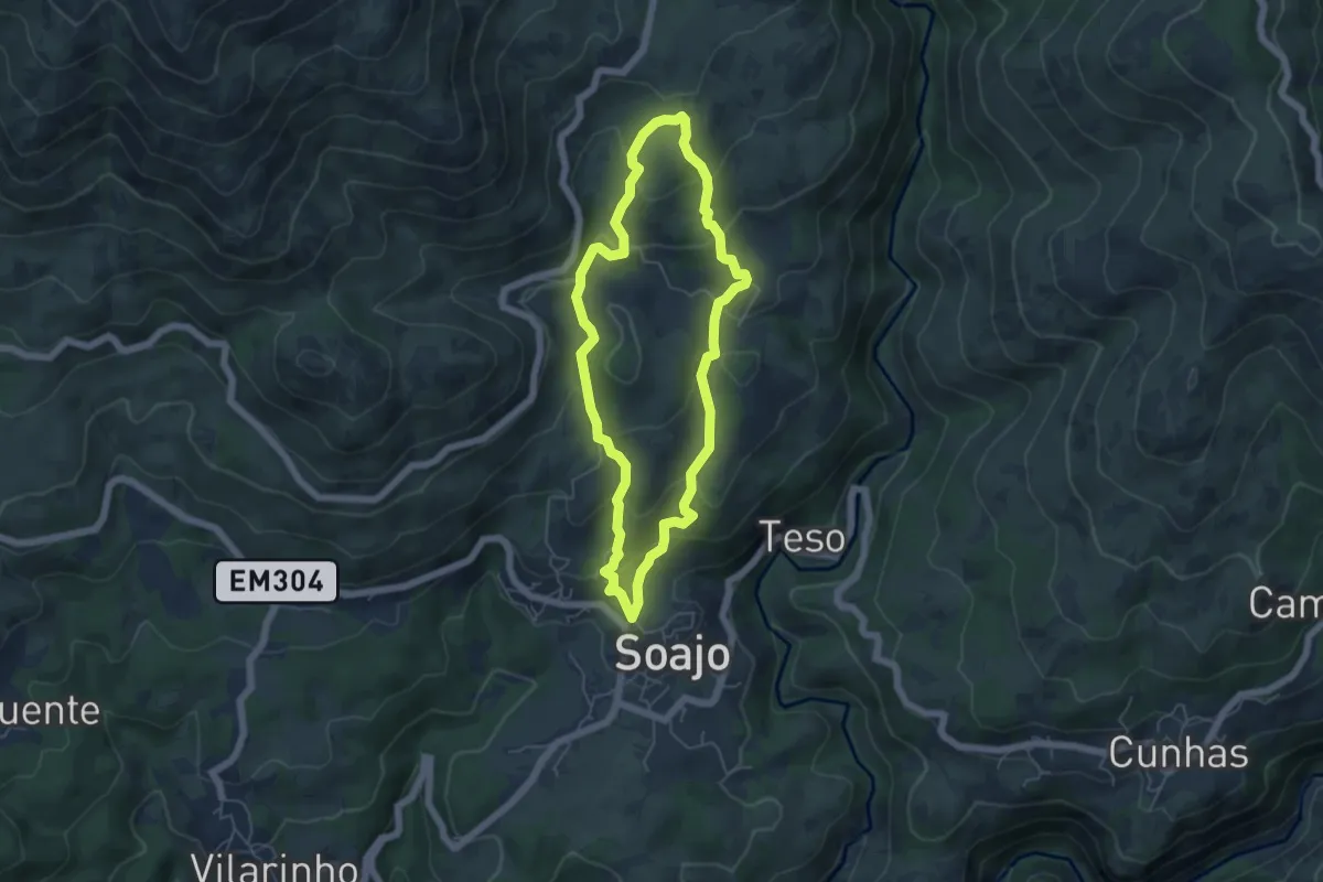
Easy · Trail
Caminhos do Pão e Caminhos da Fé (Percurso Longo)
5.2 km · ↑ 294 m · 1 h 57 min · 1 km away
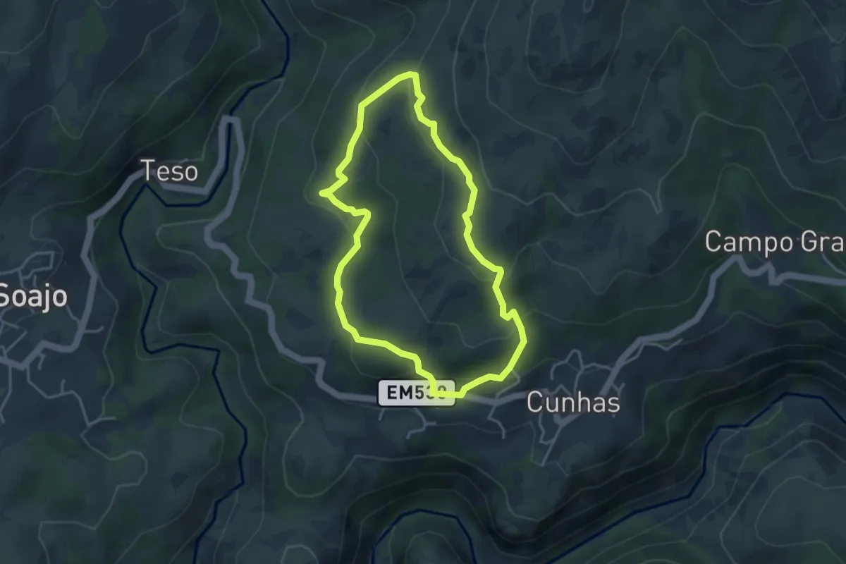
Easy · Trail
Trilho do Ramil
3.6 km · ↑ 200 m · 1 h 21 min · 2 km away
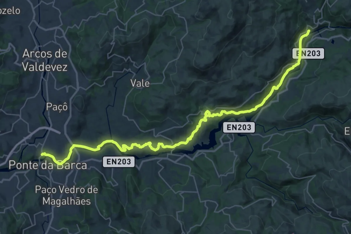
Medium · Trail
Ecovia do Lima
17.2 km · ↑ 351 m · 5 h 4 min · 3 km away
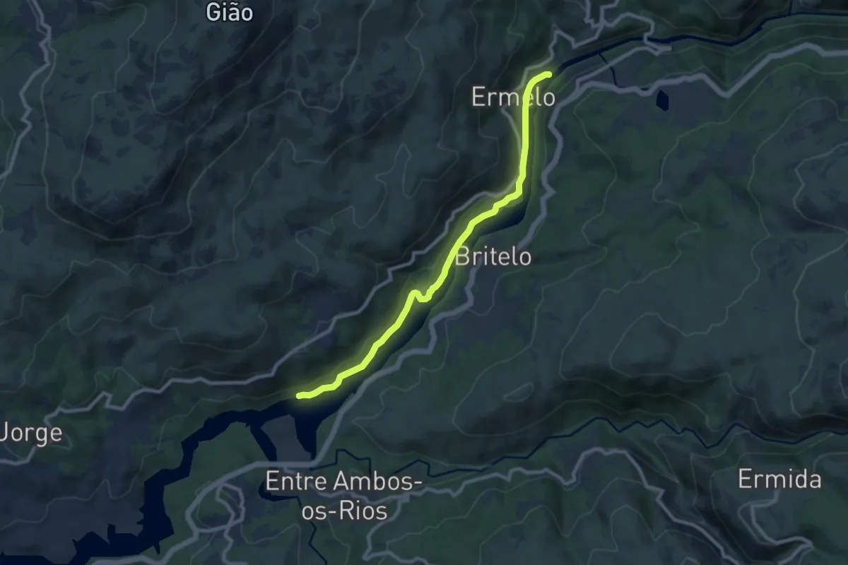
Medium · Trail
Ecovia do Ermelo
9.1 km · ↑ 200 m · 2 h 35 min · 3 km away
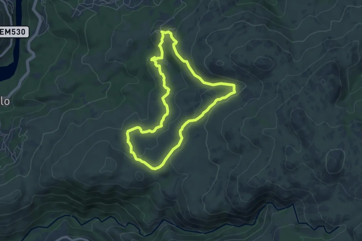
Easy · Trail
Trilho do Megalitismo de Britelo
6.3 km · ↑ 207 m · 2 h 1 min · 3 km away
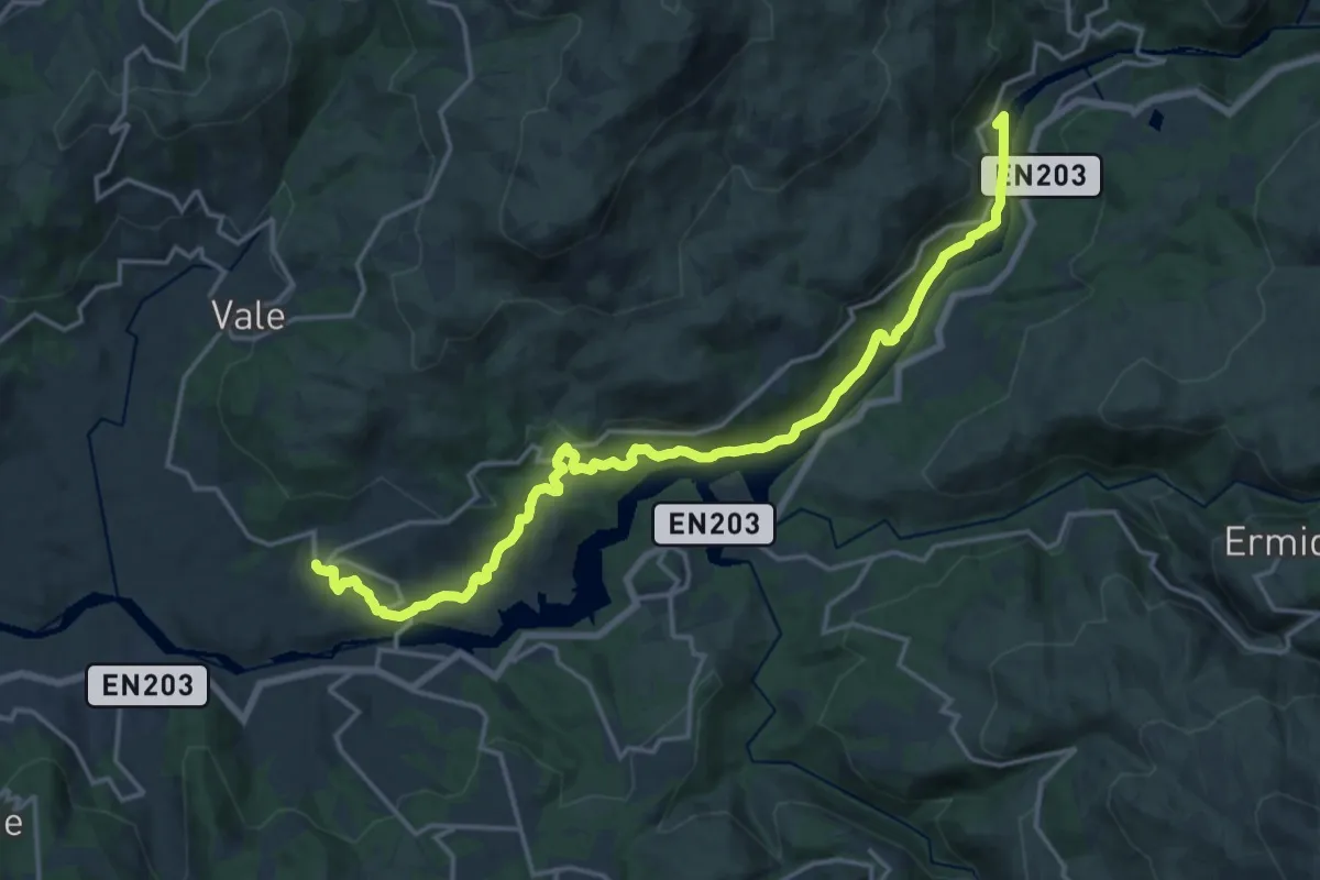
Demanding · Trail
Trilho dos Romeiros do Ermelo
20.3 km · ↑ 505 m · 5 h 53 min · 3 km away
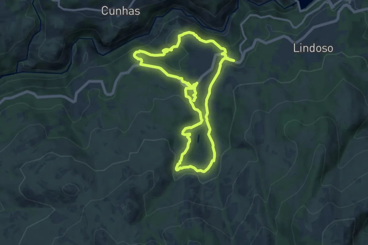
Medium · Trail
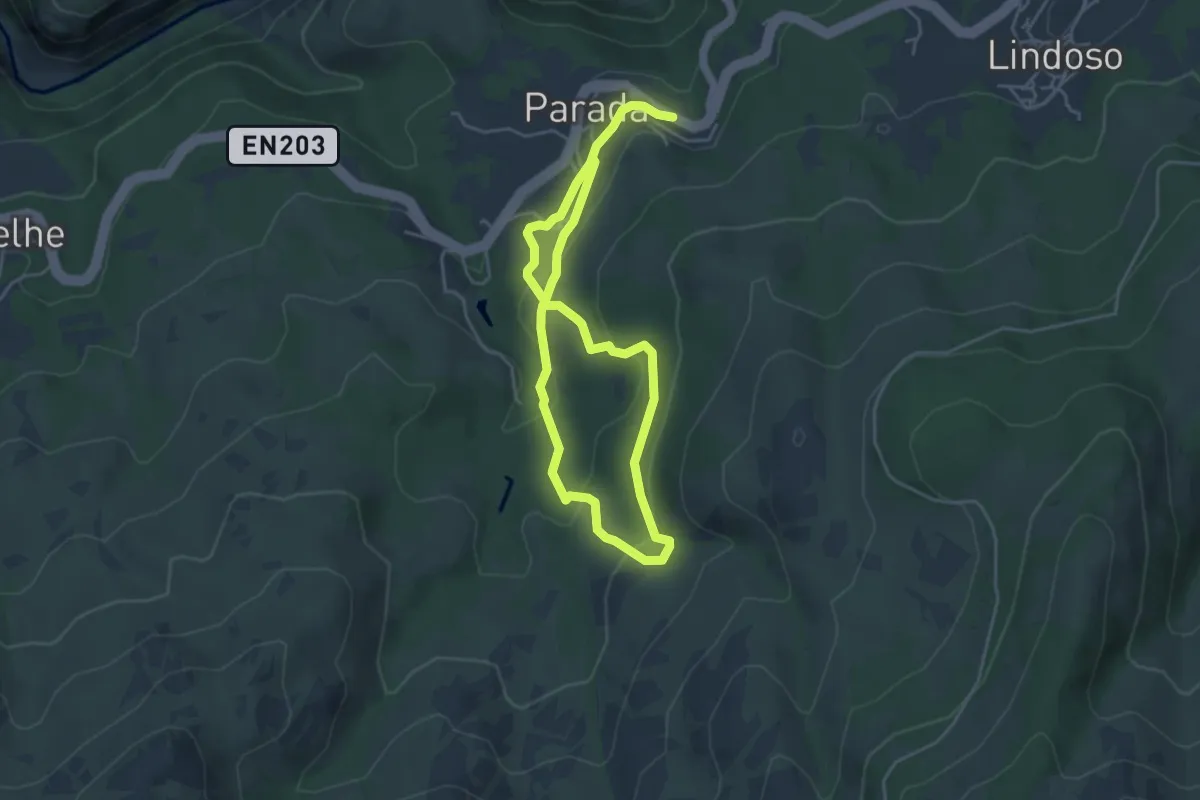
Trilho dos Moinhos de Parada
17.6 km · ↑ 661 m · 5 h 36 min · 4 km away
Medium · Trail
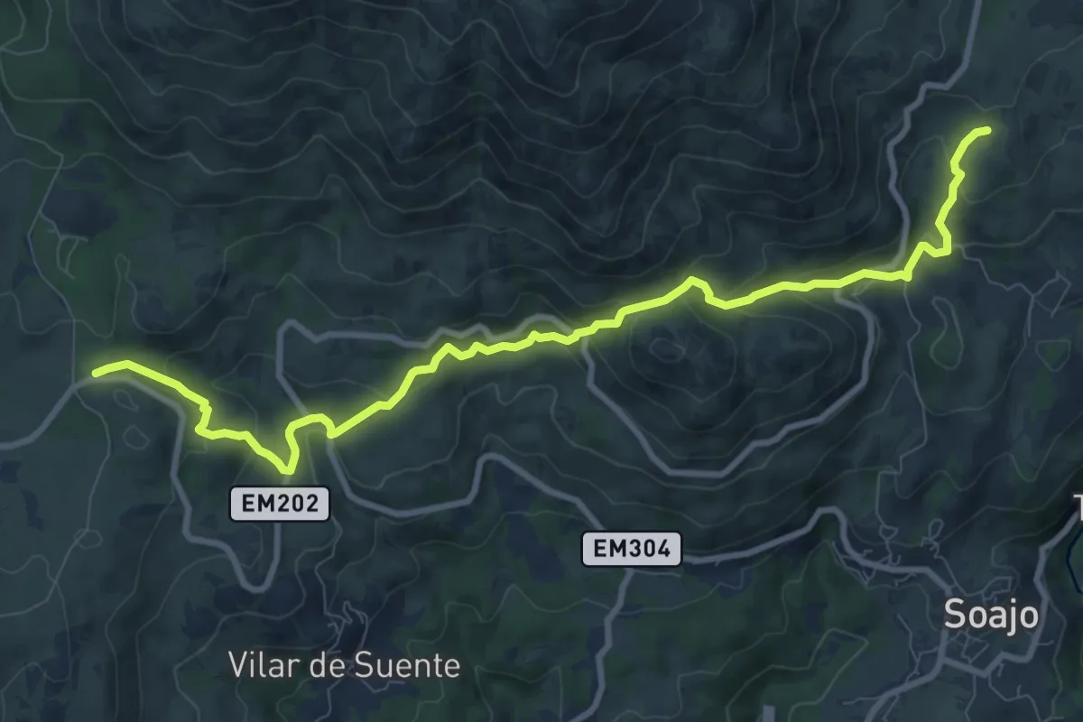
Trilho do Penedo do Encanto
7.8 km · ↑ 340 m · 2 h 35 min · 4 km away
Medium · Trail
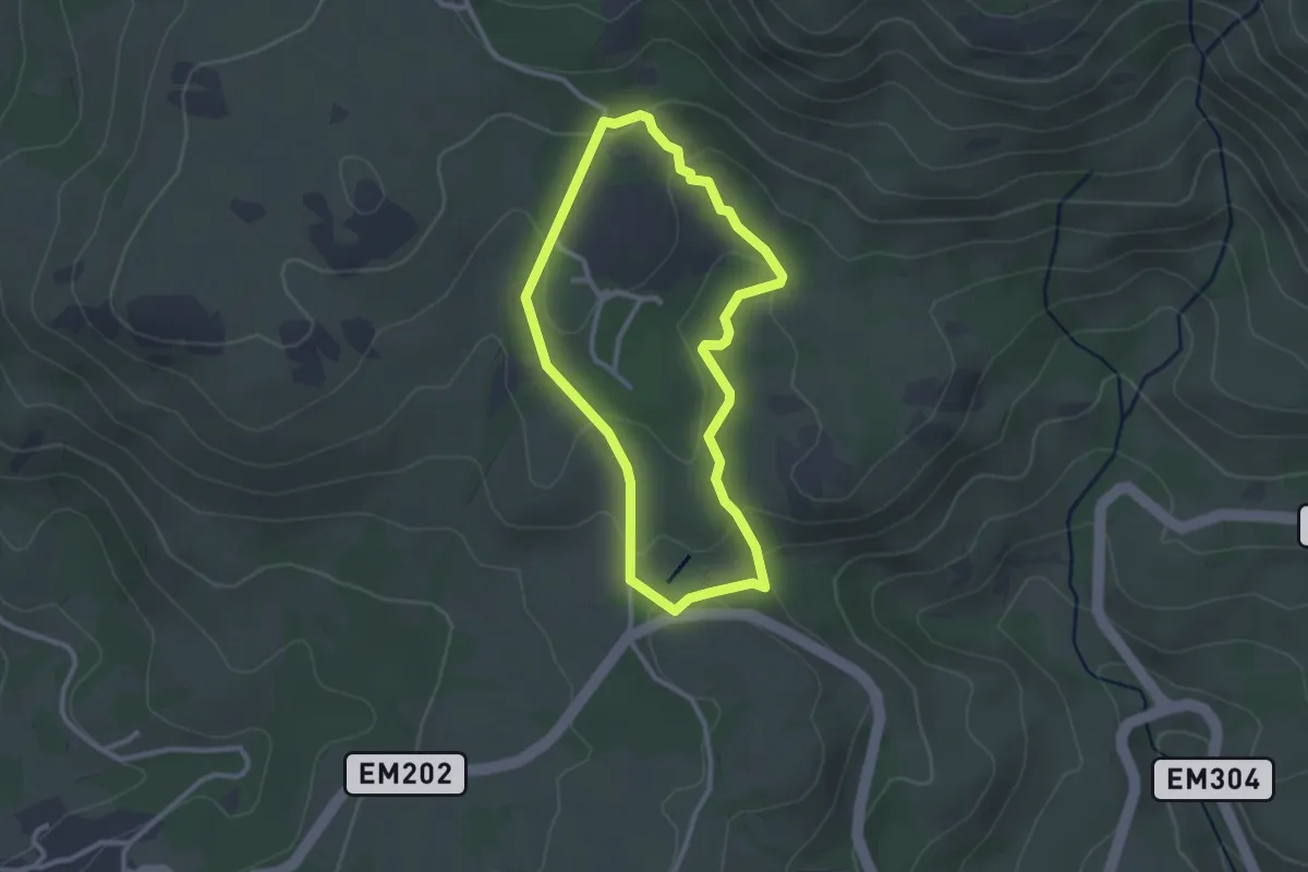
Romeiros da Peneda – Rota de Soajo (Ligação ao Mezio)
11.5 km · ↑ 675 m · 4 h 11 min · 4 km away
Easy · Trail
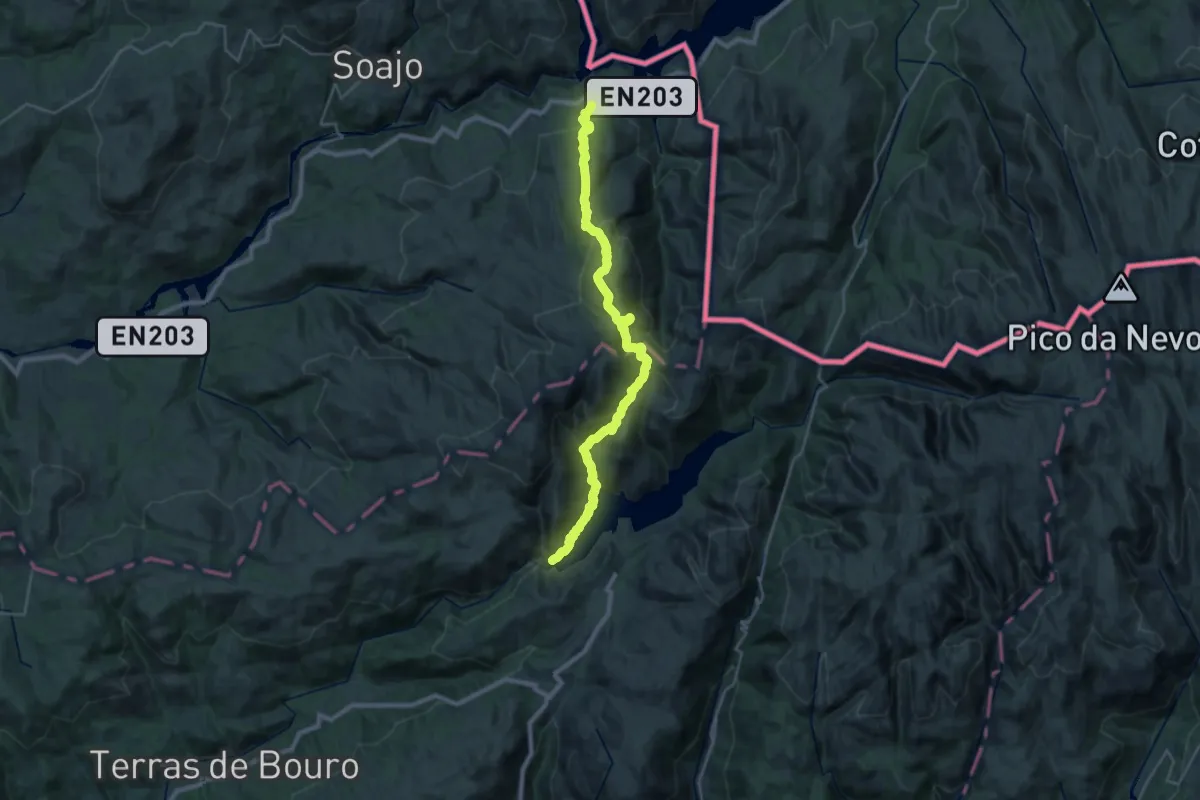
Trilho Interpretativo do Mezio
2.7 km · ↑ 80 m · 51 min · 4 km away
Demanding · Trail
Serra Amarela
15.2 km · ↑ 972 m · 5 h 51 min · 5 km away
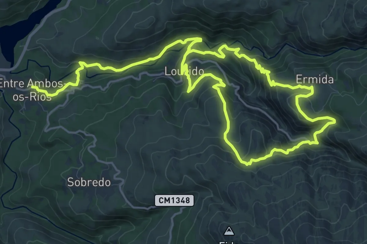
Medium · Trail
Trilho de Entre Ambos-os-Rios à Ermida
12.9 km · ↑ 584 m · 4 h 32 min · 6 km away
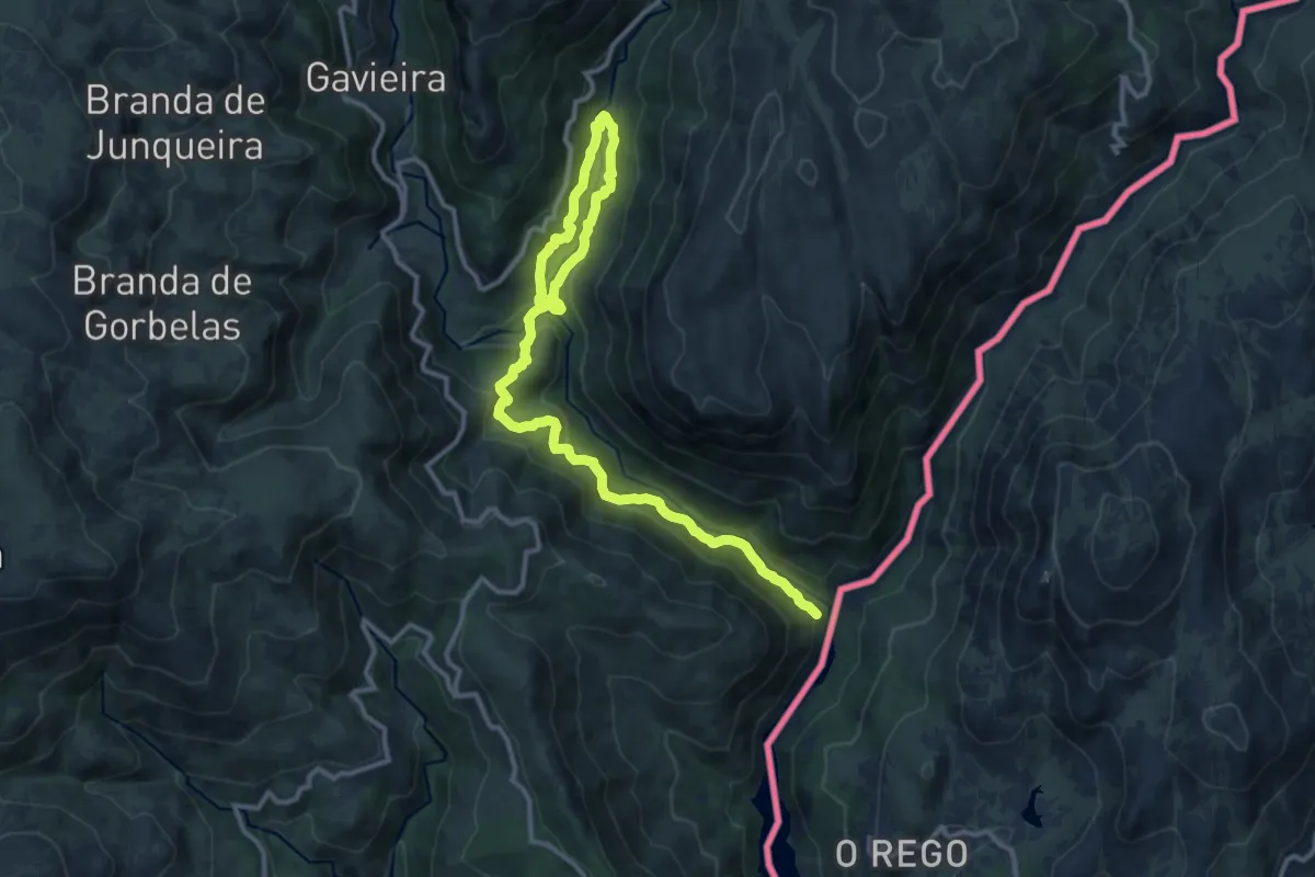
Medium · Trail
Trilho da Mistura das Águas
16.8 km · ↑ 791 m · 5 h 41 min · 7 km away
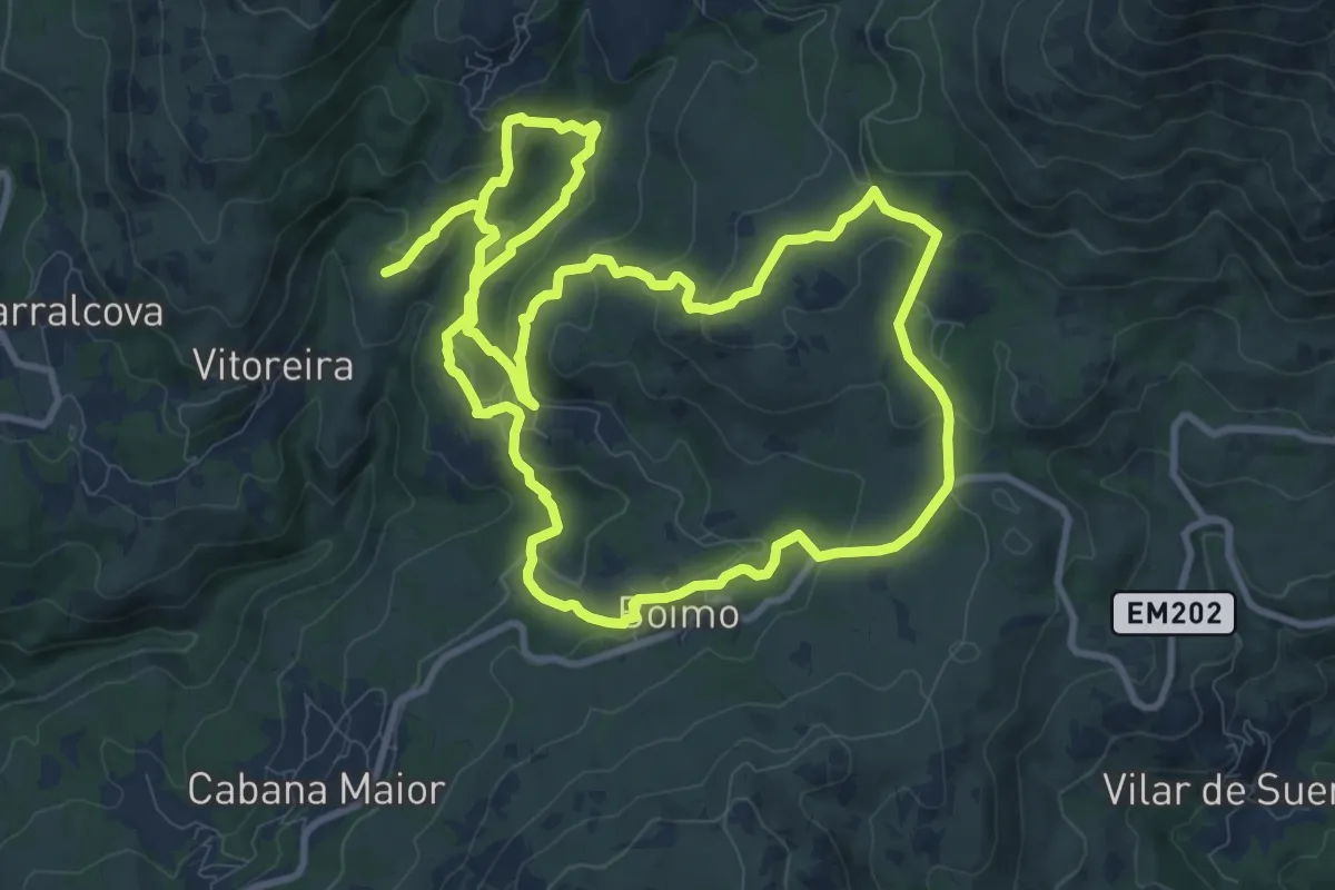
Medium · Trail
Trilho da Ribeira de Vilela
11.2 km · ↑ 421 m · 3 h 42 min · 7 km away
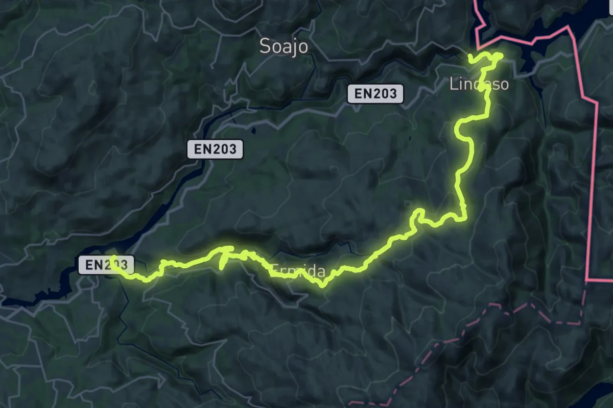
Demanding · Trail
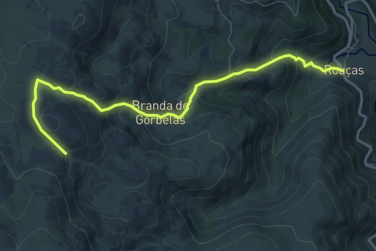
Grande Rota de Montanha do Alto Minho - Ponte da Barca
22.4 km · ↑ 1057 m · 7 h 46 min · 7 km away
Medium · Trail
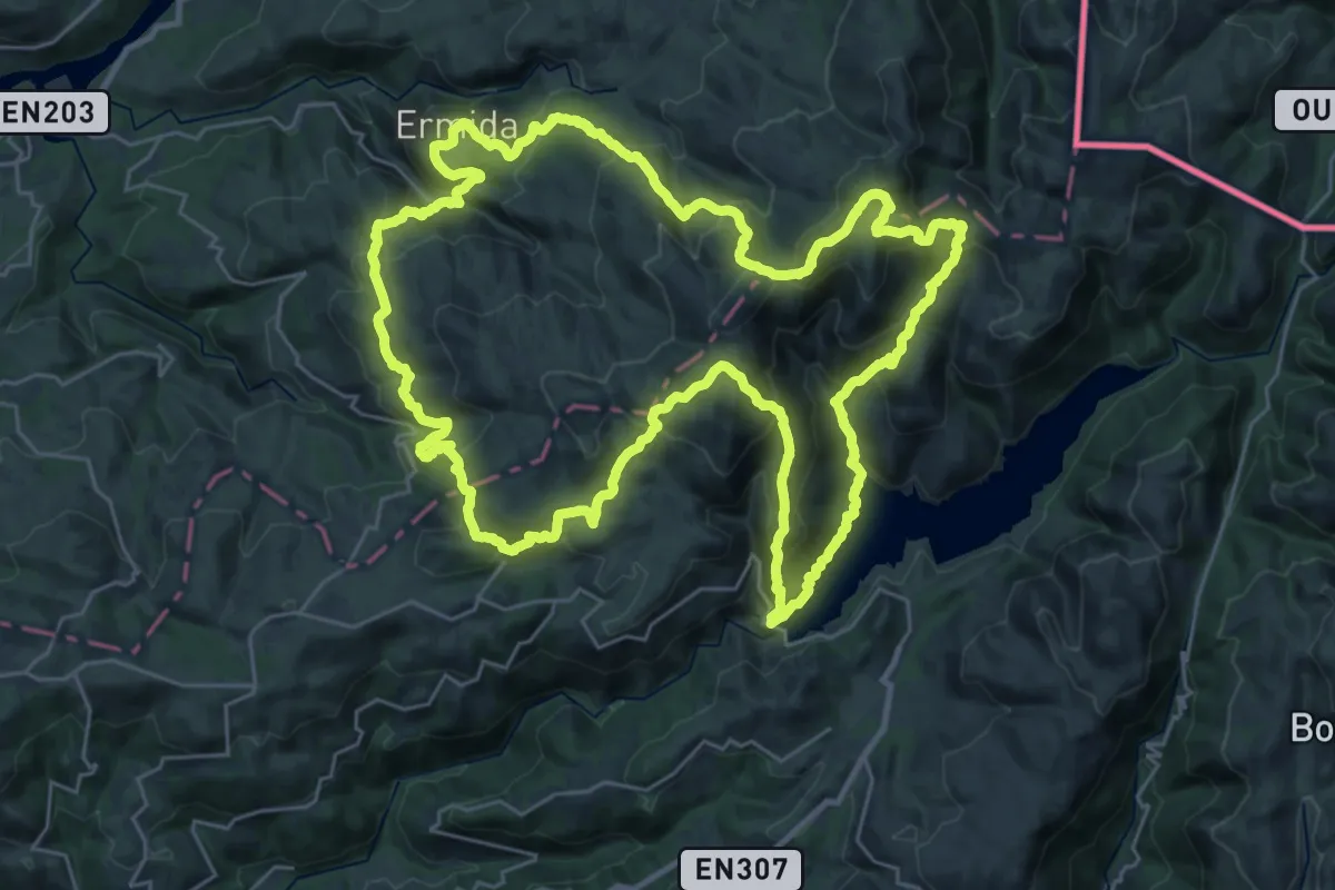
Trilho das Brandas da Gavieira
8.4 km · ↑ 693 m · 3 h 30 min · 8 km away
Demanding · Summit
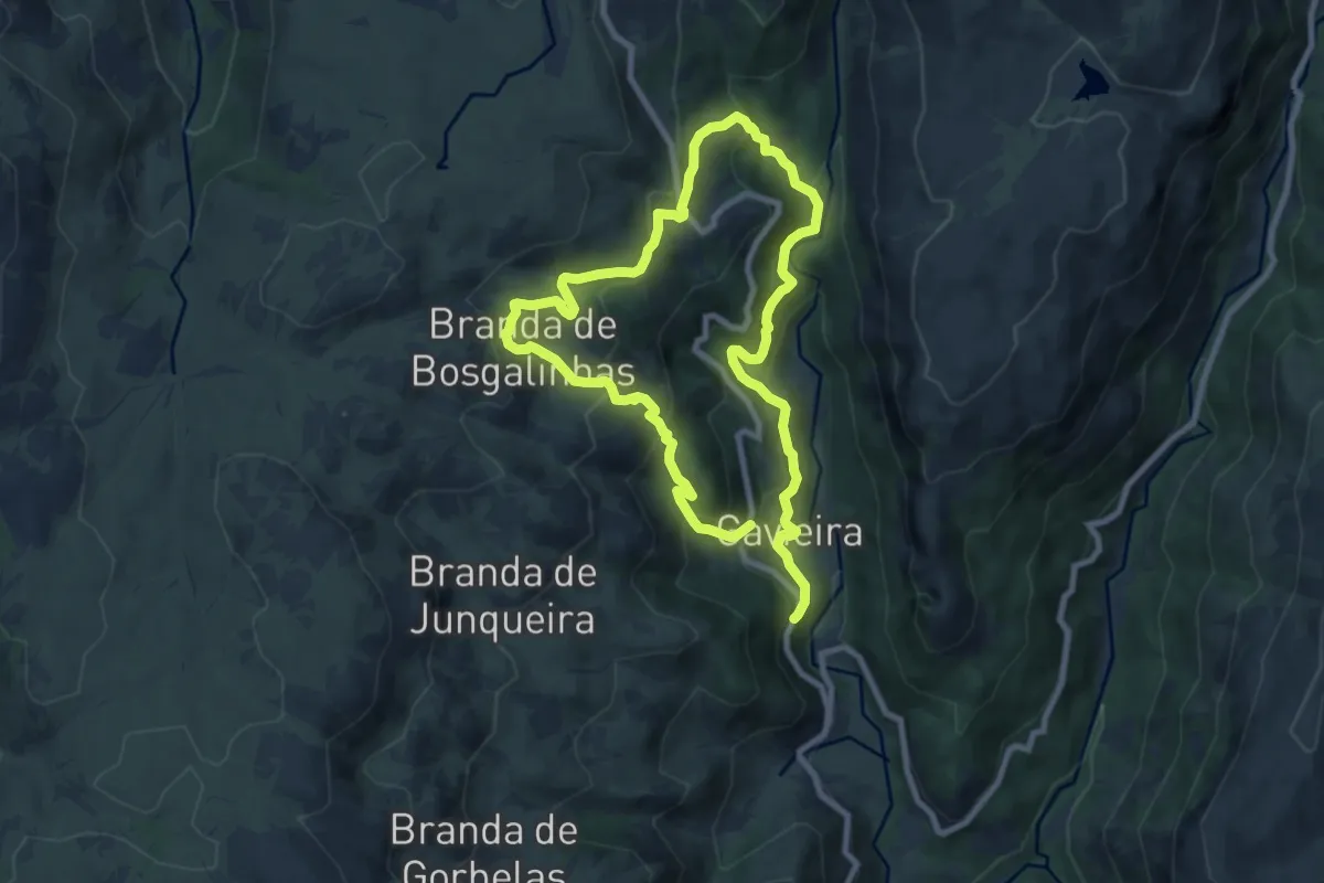
Trilho Interpretativo da Serra Amarela
34.0 km · ↑ 2097 m · 13 h 3 min · 9 km away
Demanding · Trail
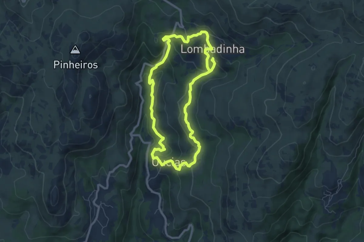
Trilho Pertinho do Céu
16.0 km · ↑ 1054 m · 6 h 4 min · 9 km away
Medium · Trail
Trilho da Lombadinha
13.5 km · ↑ 628 m · 4 h 33 min · 9 km away
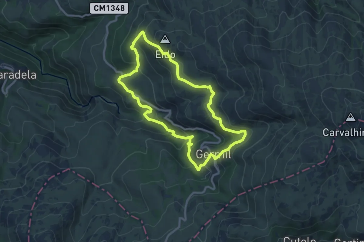
Medium · Summit
Trilho de Germil
7.1 km · ↑ 353 m · 2 h 32 min · 10 km away
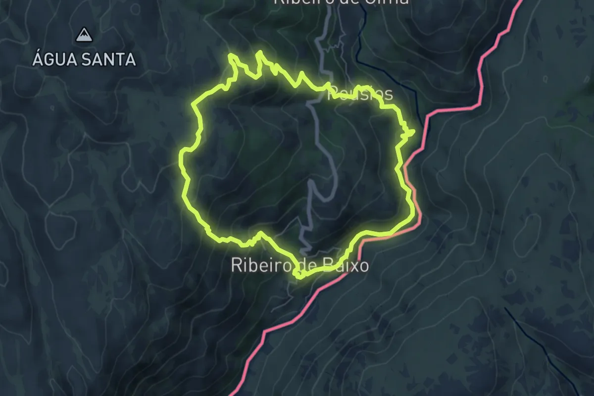
Medium · Trail
Curro da Velha
7.1 km · ↑ 472 m · 2 h 48 min · 11 km away
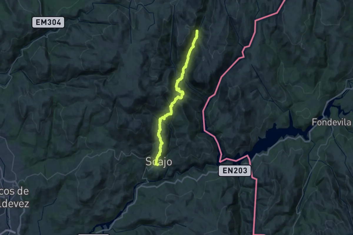
Medium · Trail
Romeiros da Peneda – Rota de Soajo
15.9 km · ↑ 566 m · 5 h 24 min · 12 km away
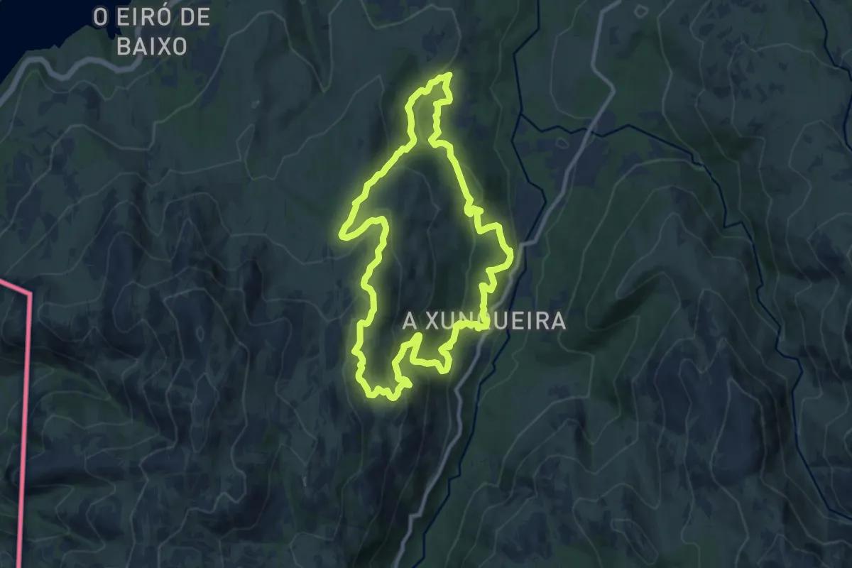
Medium · Trail
Ruta de Padrendo
10.5 km · ↑ 548 m · 3 h 49 min · 12 km away
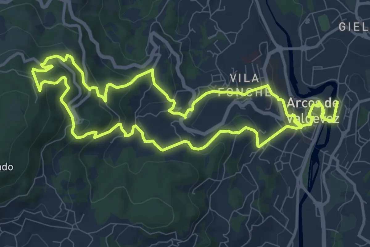
Demanding · Trail
Trilho do Castelo de Santa Cruz
18.3 km · ↑ 889 m · 6 h 15 min · 13 km away
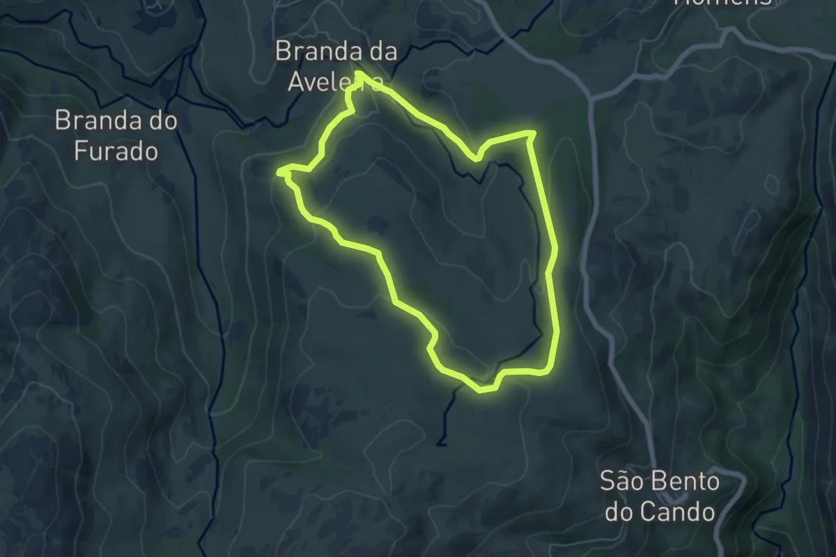
Easy · Trail
Aveleira
5.9 km · ↑ 203 m · 1 h 55 min · 13 km away
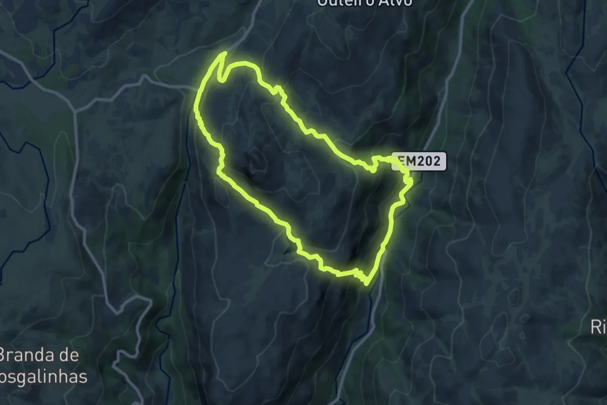
Medium · Trail
Trilho da Peneda
9.7 km · ↑ 557 m · 3 h 38 min · 13 km away
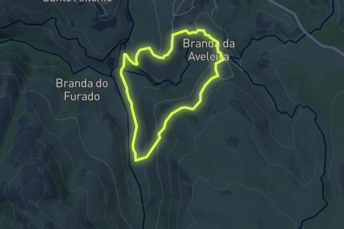
Easy · Trail
Vale Glaciar do Vez
4.2 km · ↑ 165 m · 1 h 25 min · 13 km away
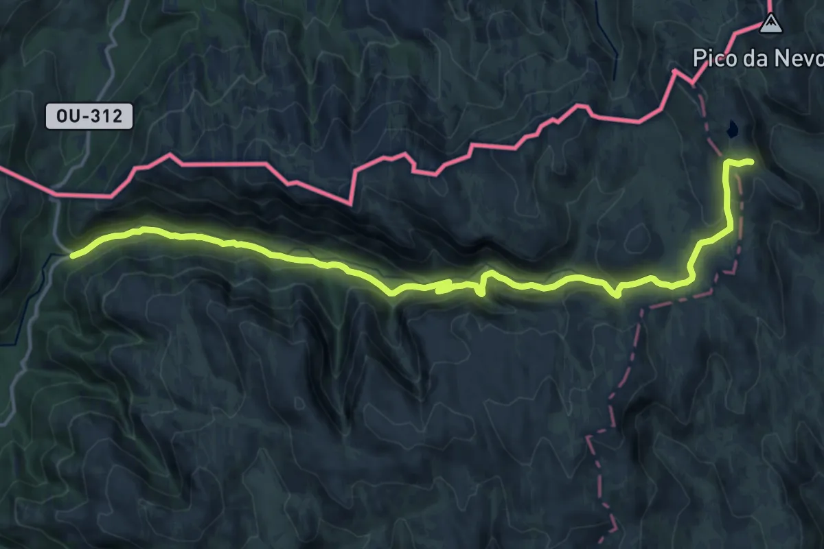
Demanding · Trail
Trilho das Minas dos Carris
18.4 km · ↑ 752 m · 5 h 58 min · 14 km away
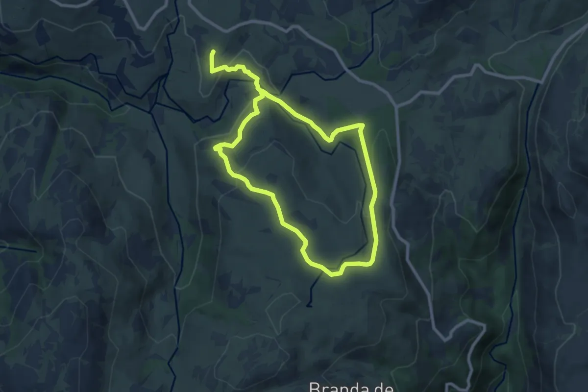
Easy · Trail
Trilho da Aveleira
7.0 km · ↑ 210 m · 2 h 12 min · 14 km away
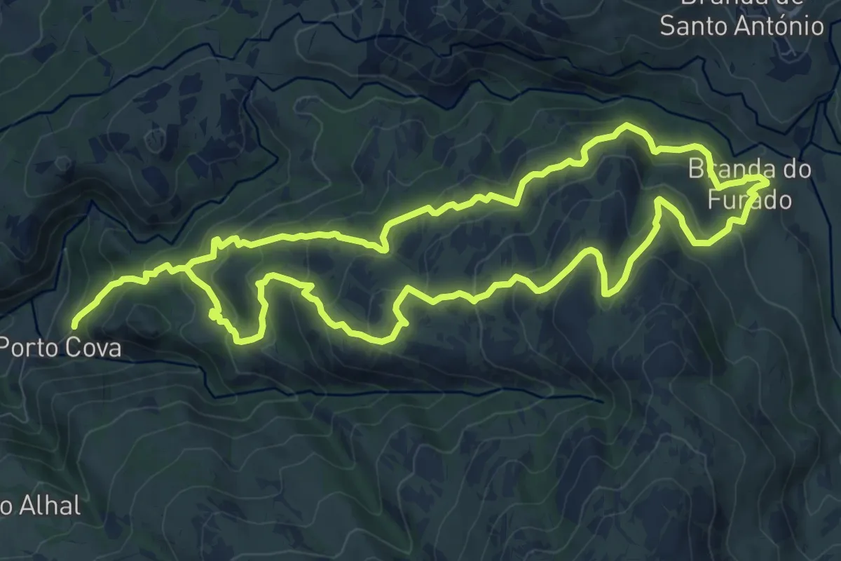
Medium · Trail
Trilho do Glaciar e do Alto Vez
10.8 km · ↑ 740 m · 4 h 14 min · 14 km away
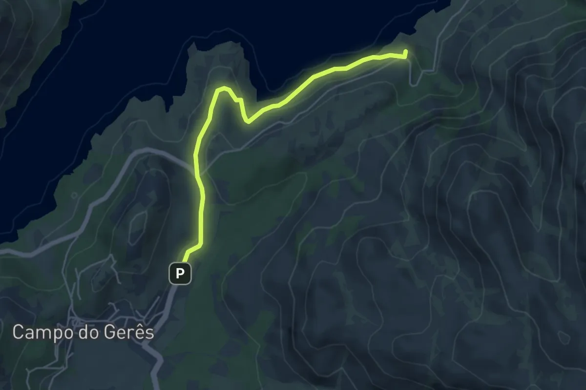
Easy · Trail
Via Nova
5.1 km · ↑ 242 m · 1 h 43 min · 14 km away
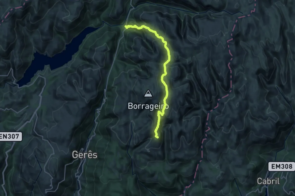
Demanding · Summit
Prados Caveiros - Ponte do Arado
19.8 km · ↑ 1133 m · 7 h 7 min · 14 km away
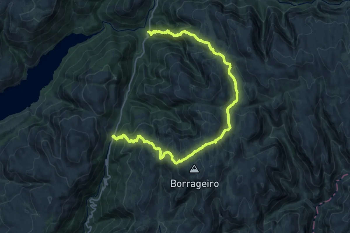
Demanding · Trail
Trilho dos Prados da Messe
20.6 km · ↑ 1400 m · 7 h 54 min · 14 km away
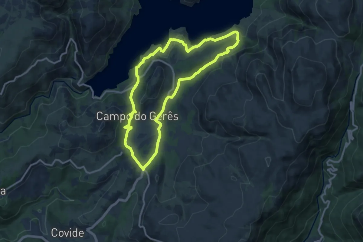
Medium · Trail
Trilho da Águia do Sarilhão
8.7 km · ↑ 379 m · 3 h · 14 km away
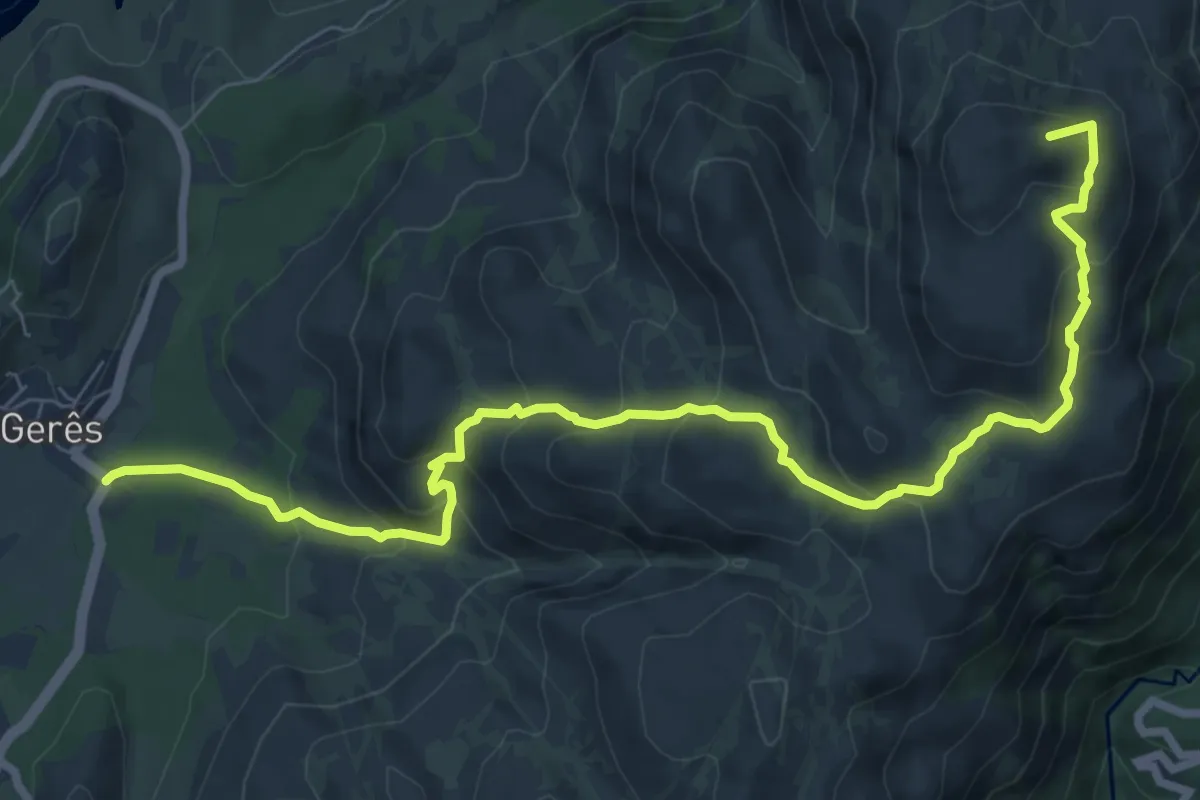
Medium · Summit
PE de Cabril
10.1 km · ↑ 581 m · 3 h 39 min · 14 km away
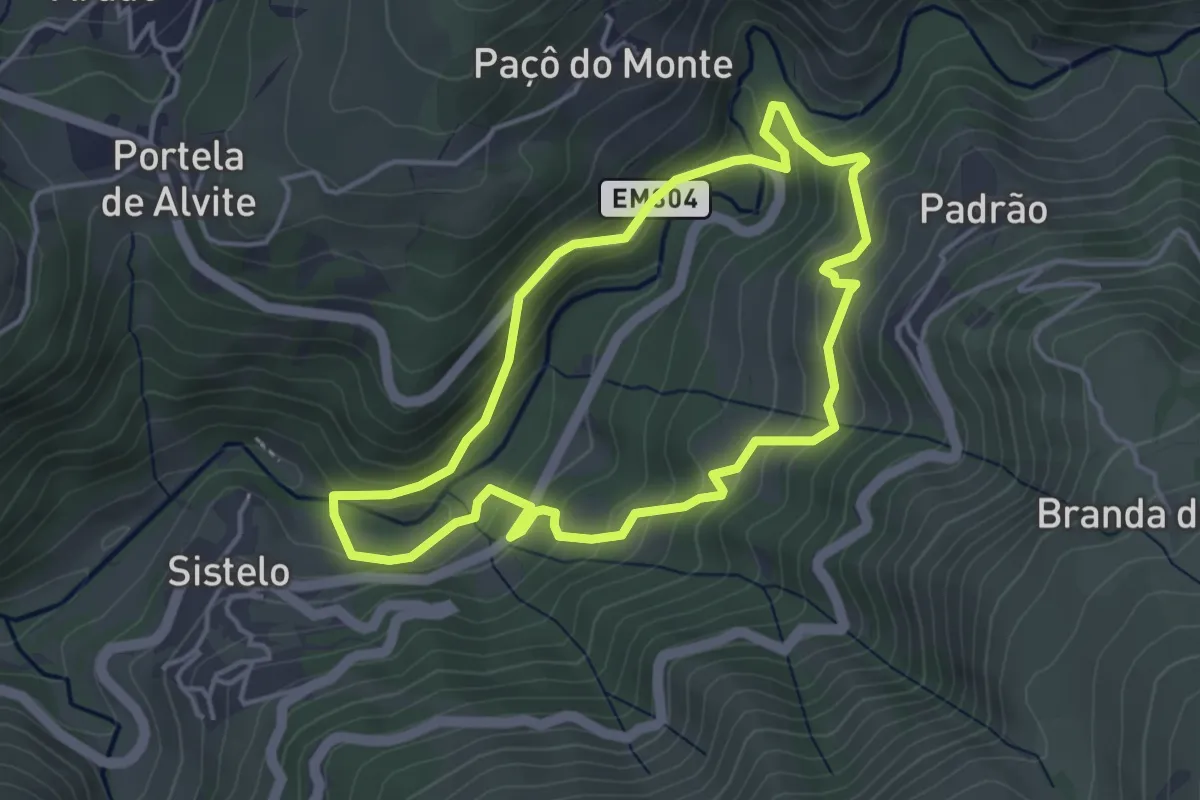
Easy · Trail
Trilho dos Socalcos do Sistelo
4.1 km · ↑ 252 m · 1 h 34 min · 14 km away
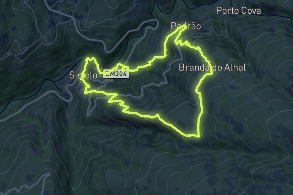
Medium · Trail
Trilho das Brandas de Sistelo
8.5 km · ↑ 573 m · 3 h 22 min · 14 km away
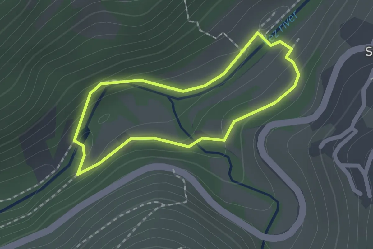
Easy · Trail
Trilho dos Passadiços
1.4 km · ↑ 40 m · 26 min · 15 km away
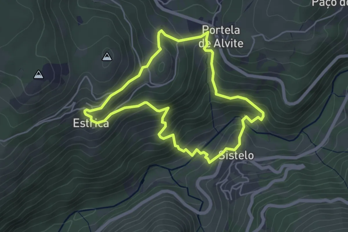
Medium · Trail
Trilho do Miradouro da Estrica
4.3 km · ↑ 301 m · 1 h 44 min · 15 km away