Trails near Sobral de Monte Agraço
20 hikes starting within 15 km, nearest first.
Nearest first
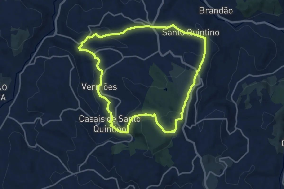
Medium · Summit
Rota dos Moinhos do Sobral
10.4 km · ↑ 330 m · 3 h 19 min · 4 km away
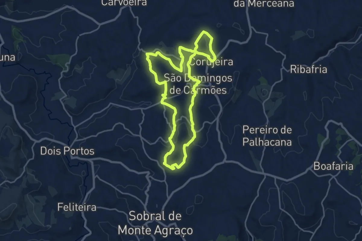
Medium · Trail
Rota das Quintas
15.0 km · ↑ 440 m · 4 h 42 min · 4 km away
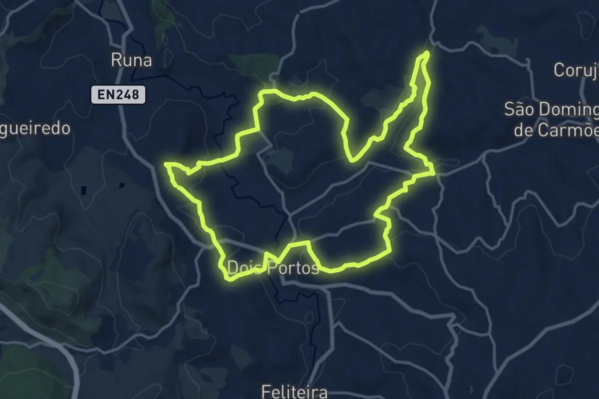
Medium · Trail
Rota da Vinha e do Vinho
15.5 km · ↑ 349 m · 4 h 38 min · 5 km away
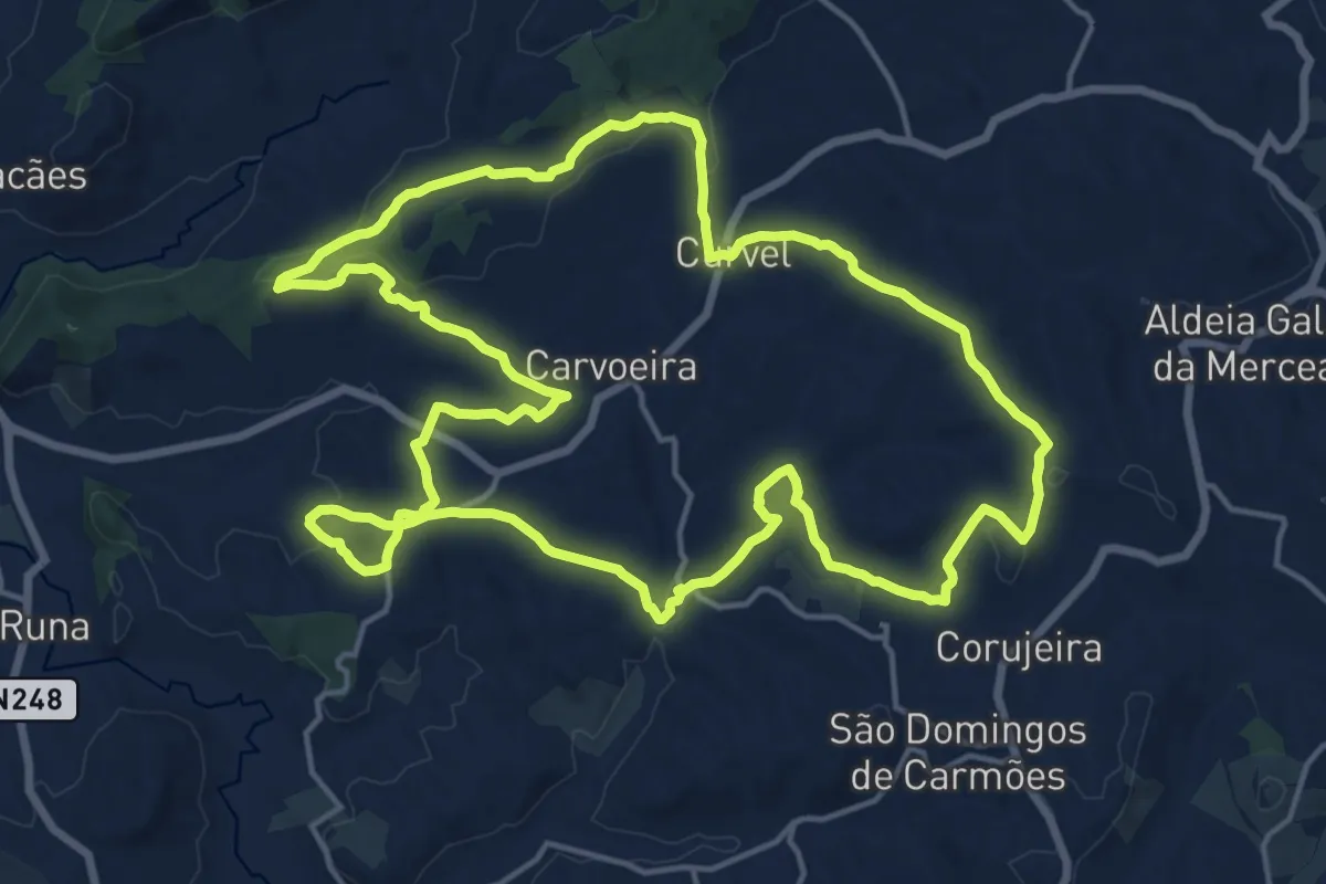
Demanding · Trail
Rota da Luz
20.5 km · ↑ 366 m · 5 h 55 min · 6 km away
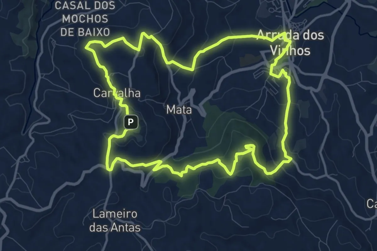
Medium · Summit
Por Serras de Al-Ruta
12.7 km · ↑ 443 m · 4 h 8 min · 7 km away
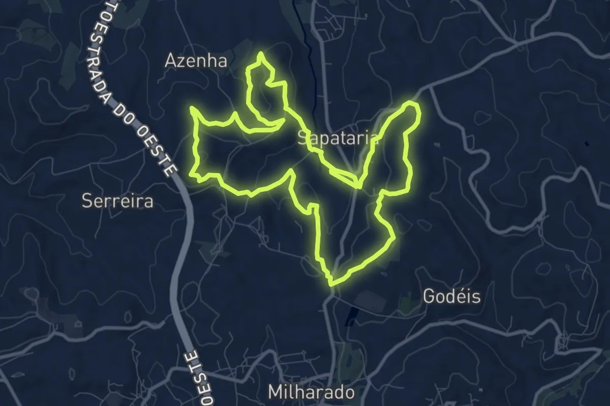
Medium · Summit
Rota do Sizandro
11.1 km · ↑ 342 m · 3 h 30 min · 7 km away
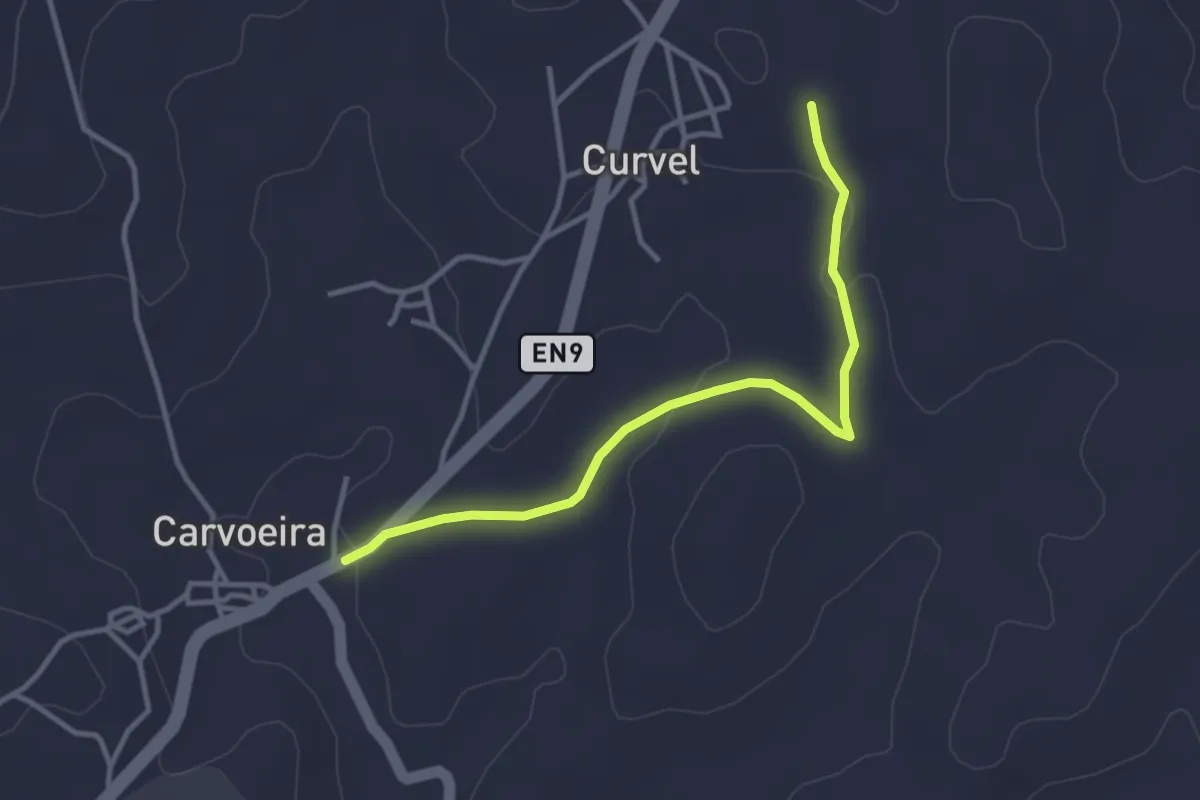
Easy · Trail
Rota da Luz - Variante
3.8 km · ↑ 63 m · 1 h 2 min · 7 km away
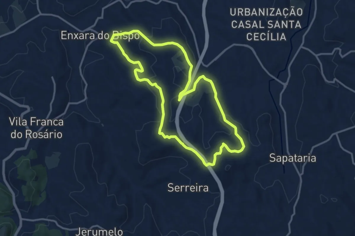
Medium · Trail
Rota das Enxaras
10.4 km · ↑ 243 m · 3 h 8 min · 8 km away
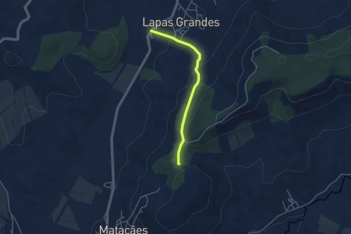
Easy · Trail
Rota das Lapas - 3.1
3.3 km · ↑ 121 m · 1 h 3 min · 10 km away
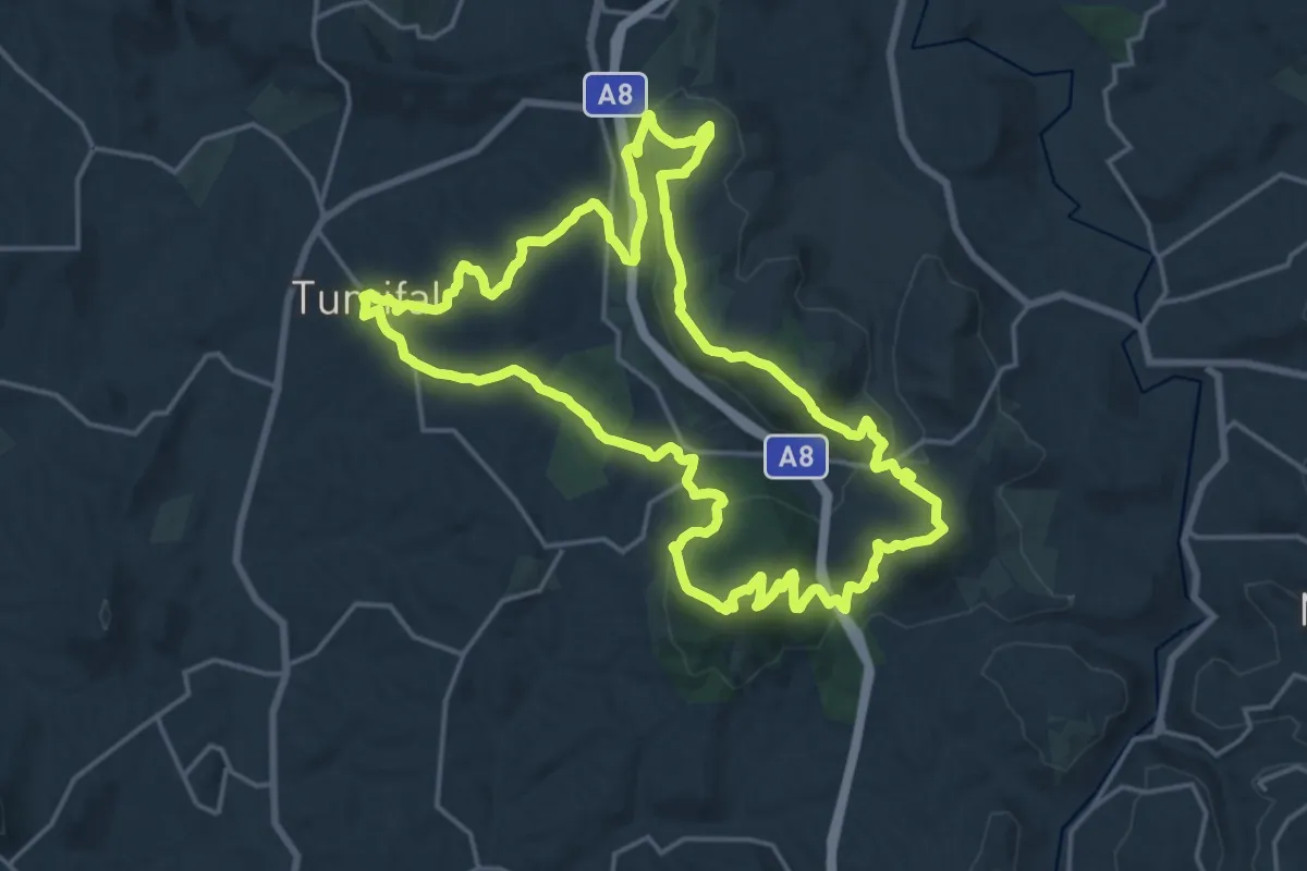
Demanding · Summit
Rota dos Encantos
22.4 km · ↑ 678 m · 7 h 5 min · 10 km away
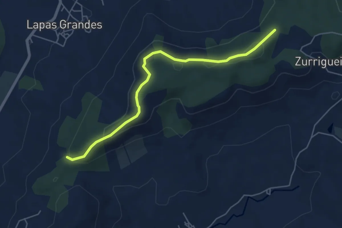
Easy · Trail
Rota das Lapas 3.2
5.2 km · ↑ 165 m · 1 h 35 min · 11 km away
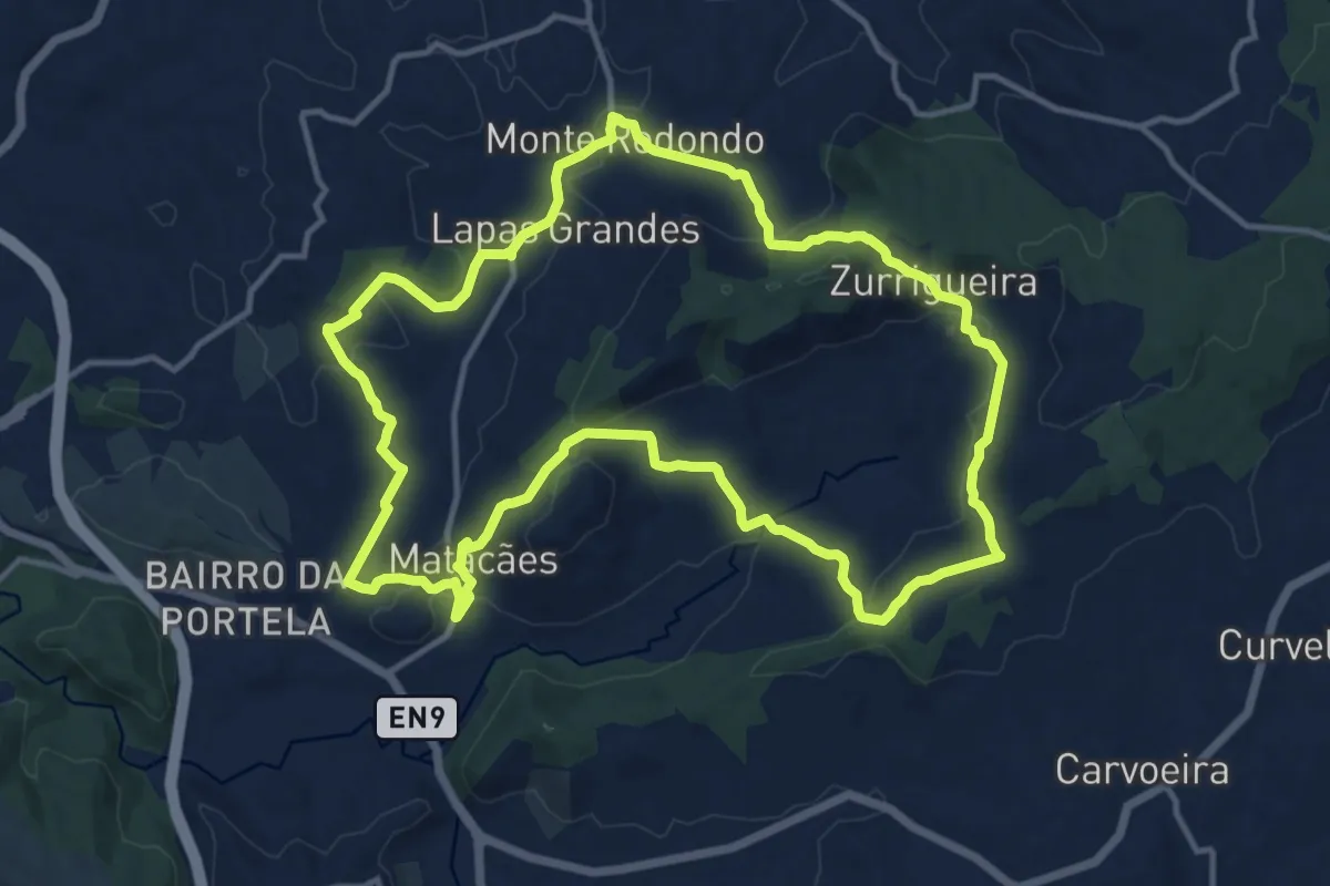
Medium · Trail
Rota das Lapas
15.3 km · ↑ 477 m · 4 h 51 min · 11 km away
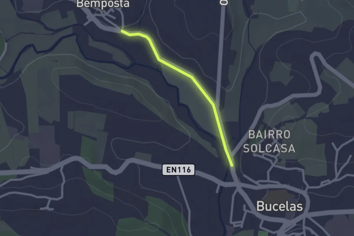
Easy · Trail
Passadiço da Bemposta
2.0 km · ↑ 4 m · 29 min · 12 km away
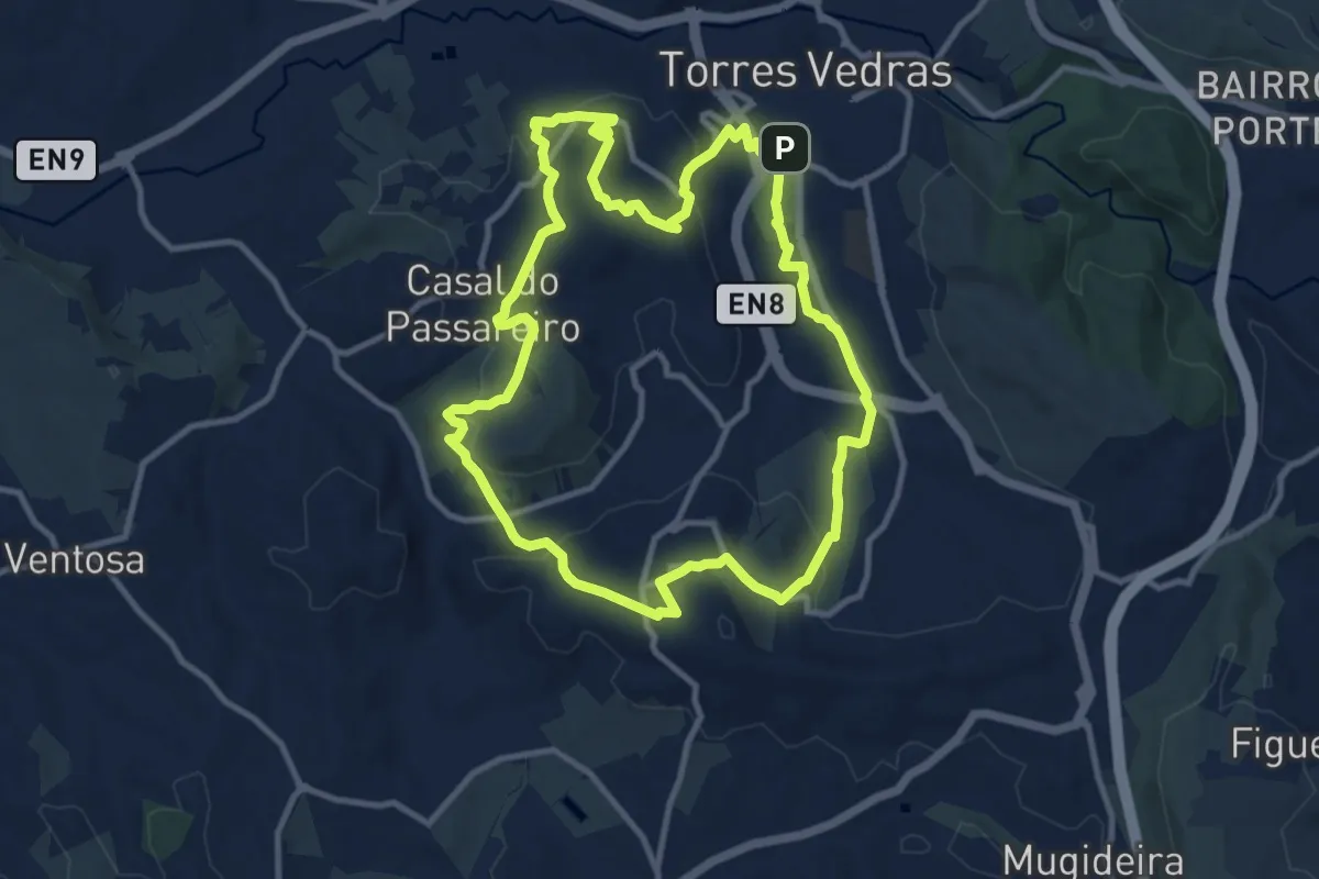
Medium · Trail
Rota do Castro do Zambujal
12.3 km · ↑ 356 m · 3 h 50 min · 12 km away
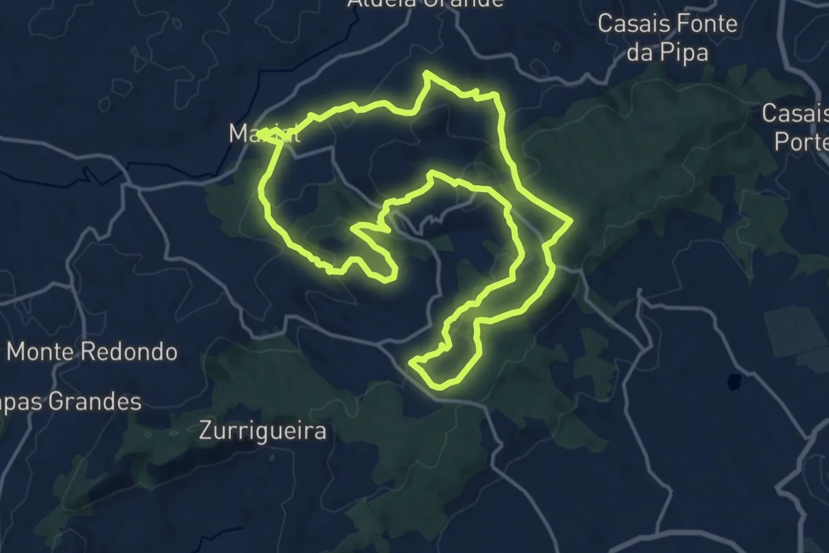
Medium · Trail
Rota dos Moínhos
17.3 km · ↑ 535 m · 5 h 29 min · 13 km away
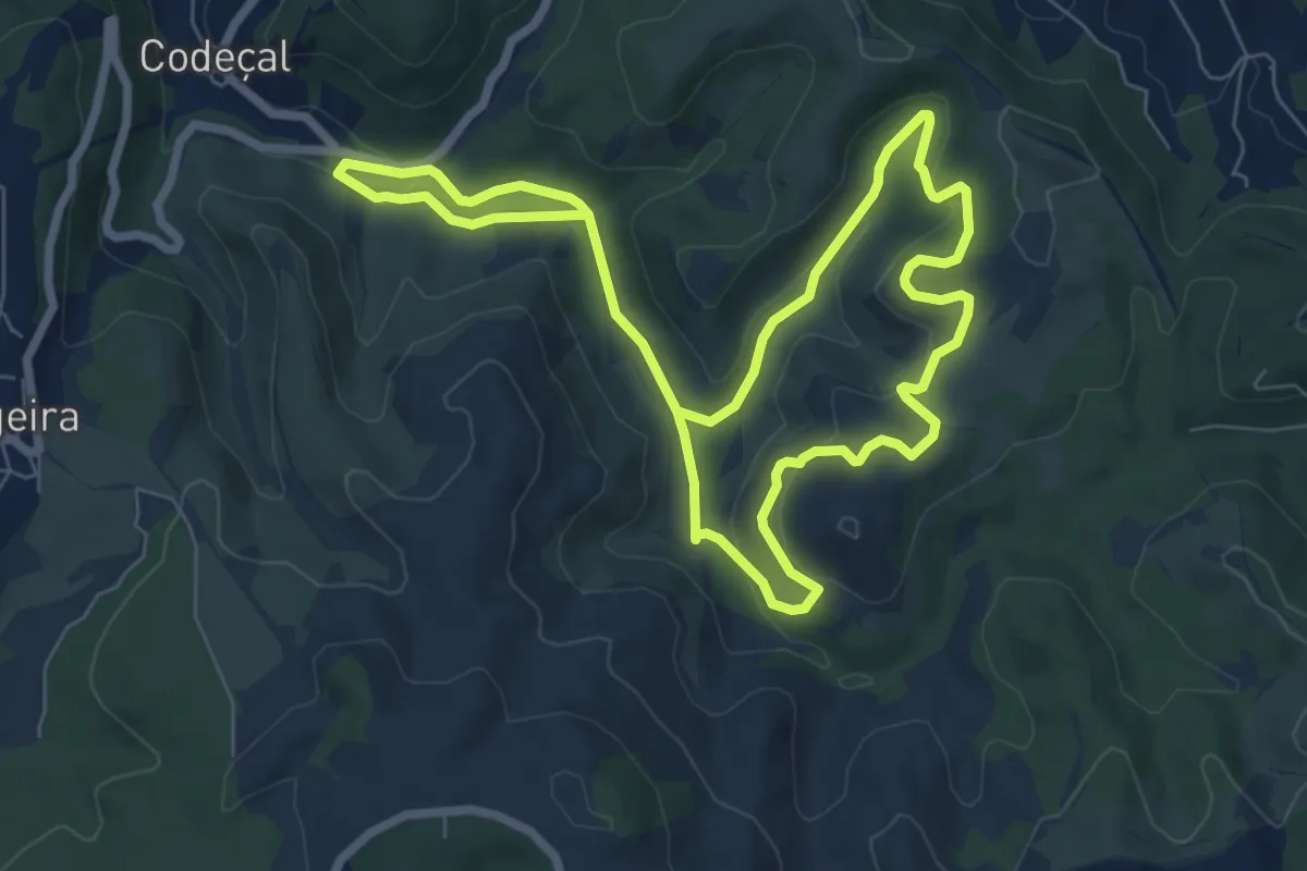
Easy · Trail
Percurso Taipas (vermelho)
7.4 km · ↑ 216 m · 2 h 19 min · 14 km away
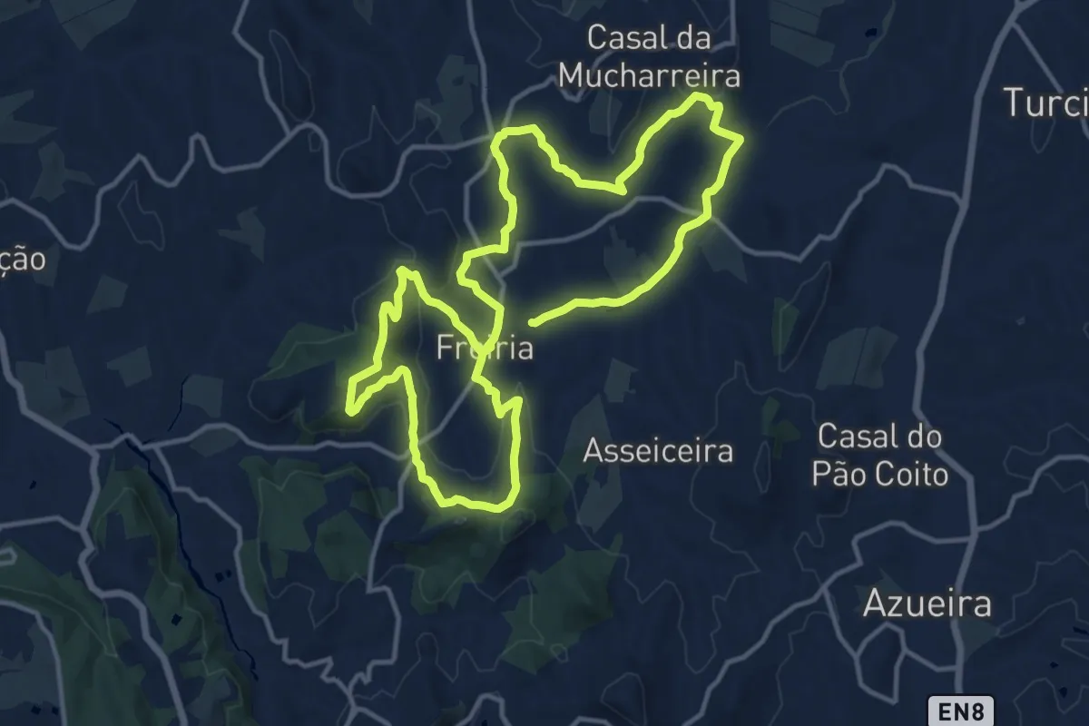
Medium · Summit
Rota do Vento
14.3 km · ↑ 338 m · 4 h 18 min · 14 km away
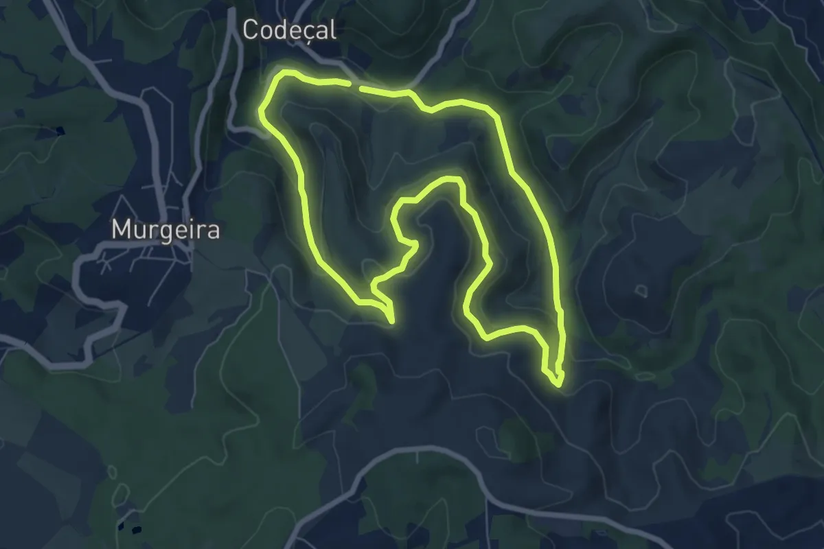
Easy · Trail
Percurso Boavista (amarelo)
7.6 km · ↑ 234 m · 2 h 24 min · 14 km away
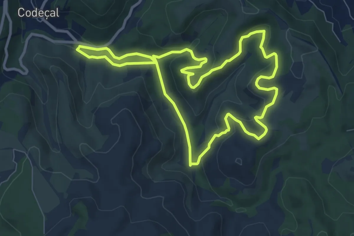
Easy · Trail
Percurso Tojeira (verde)
8.0 km · ↑ 216 m · 2 h 28 min · 14 km away
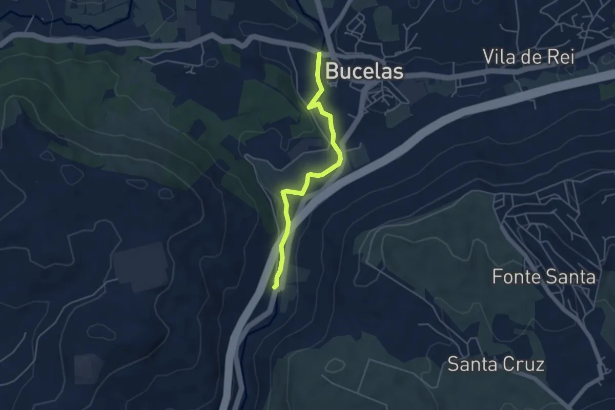
Easy · Trail
Percurso Ribeirinho do Rio Trancão
4.4 km · ↑ 41 m · 1 h 8 min · 15 km away