Trails near Terras de Bouro
24 hikes starting within 15 km, nearest first.
Nearest first
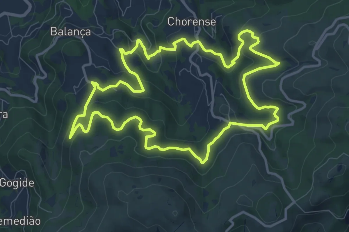
Medium · Trail
Trilho da Geira
9.9 km · ↑ 506 m · 3 h 34 min · 2 km away
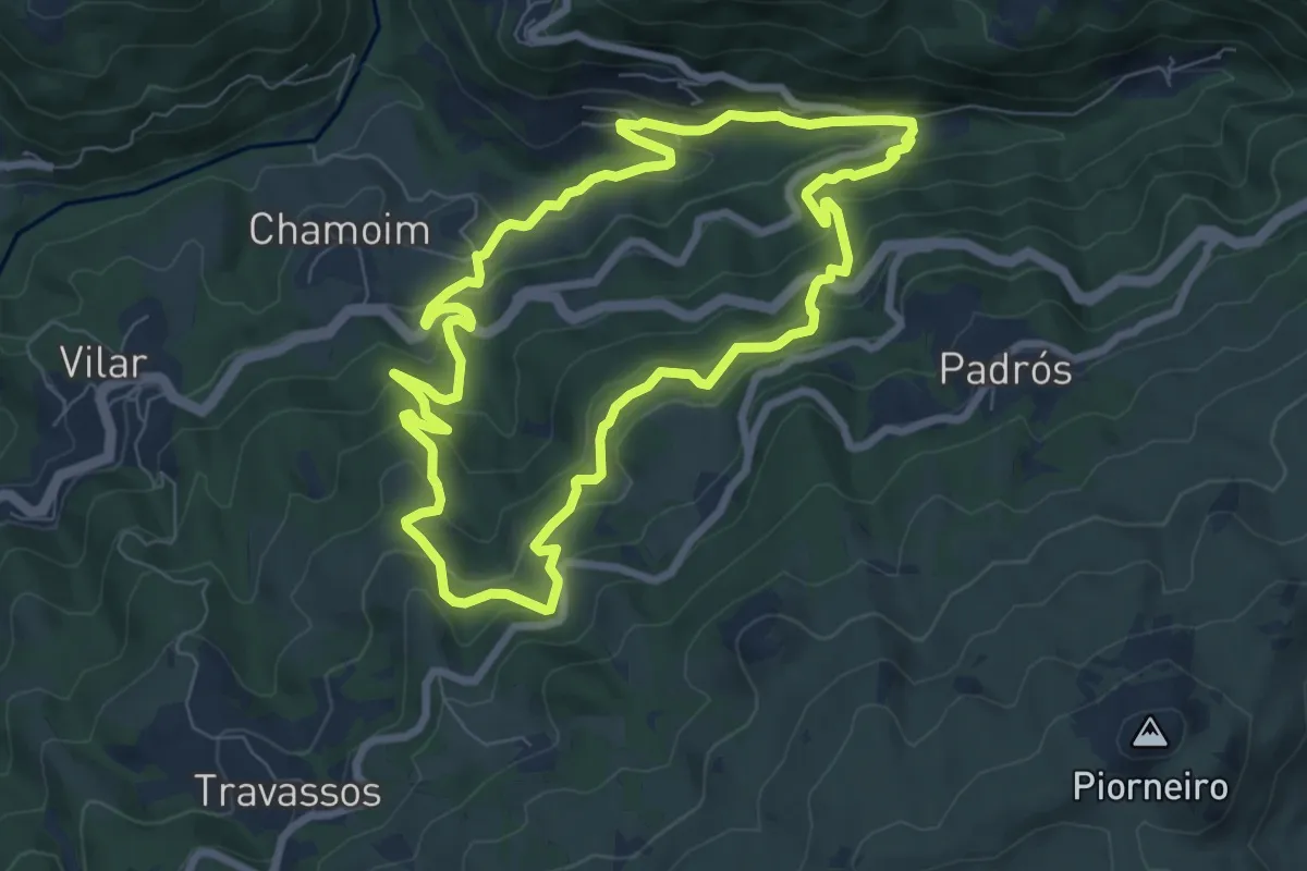
Medium · Trail
Trilho dos Moinhos e Regadios
8.1 km · ↑ 517 m · 3 h 9 min · 3 km away
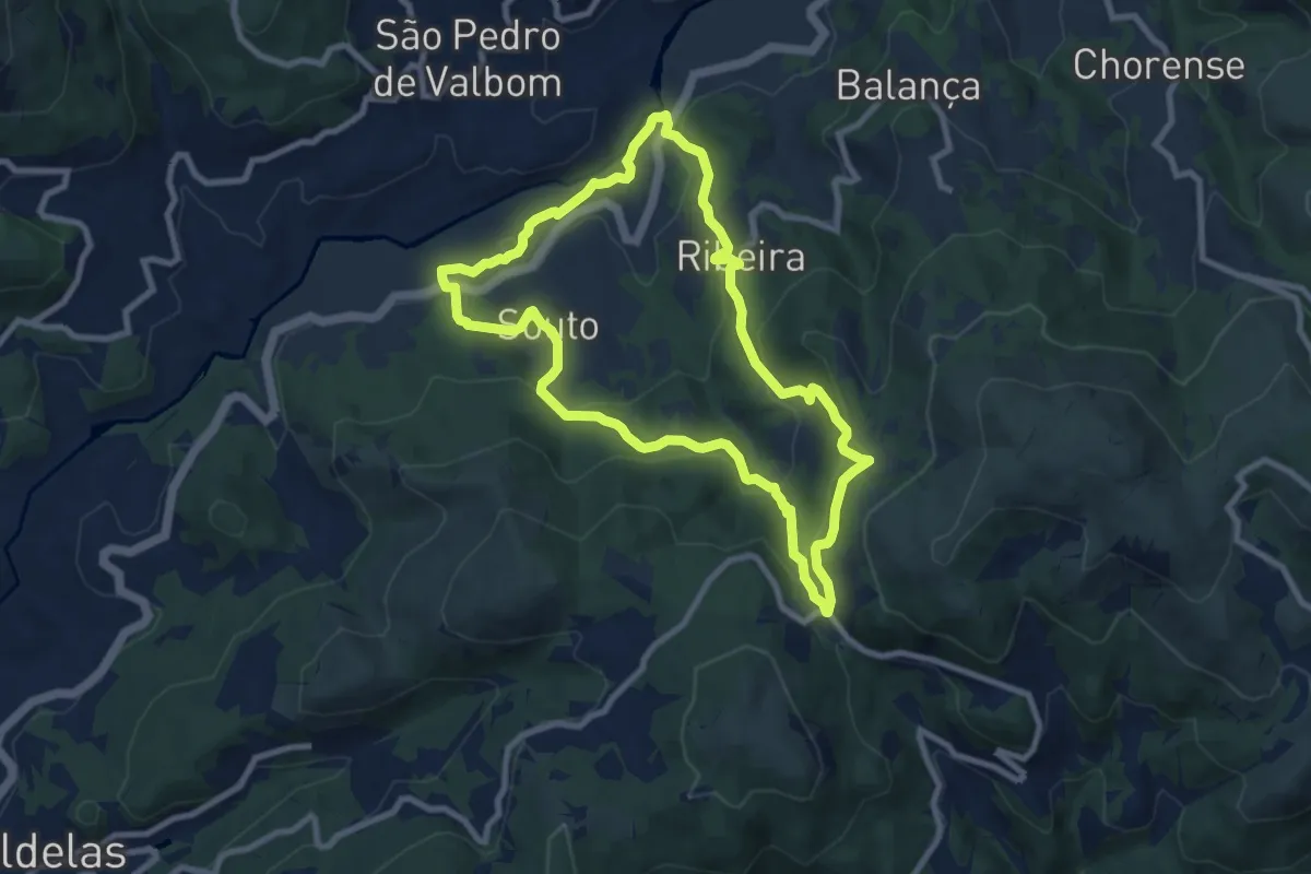
Medium · Trail
Trilho do Couto do Souto
9.0 km · ↑ 442 m · 3 h 12 min · 5 km away
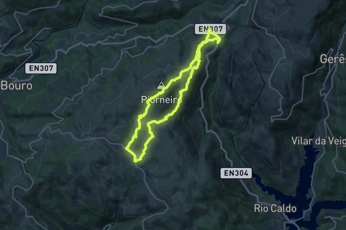
Medium · Summit
Trilho do Castelo
13.9 km · ↑ 663 m · 4 h 55 min · 5 km away
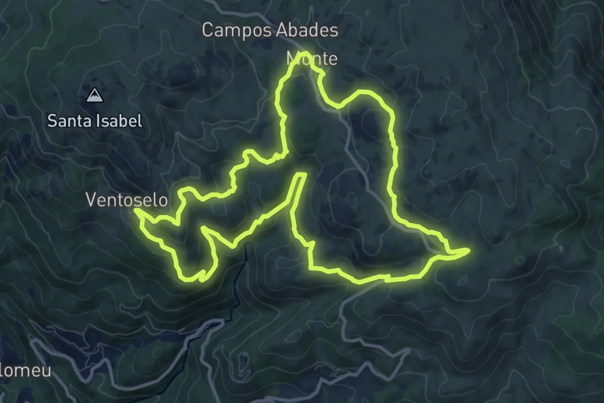
Medium · Trail
Trilho dos Moinhos de Santa Isabel do Monte
12.3 km · ↑ 573 m · 4 h 19 min · 7 km away
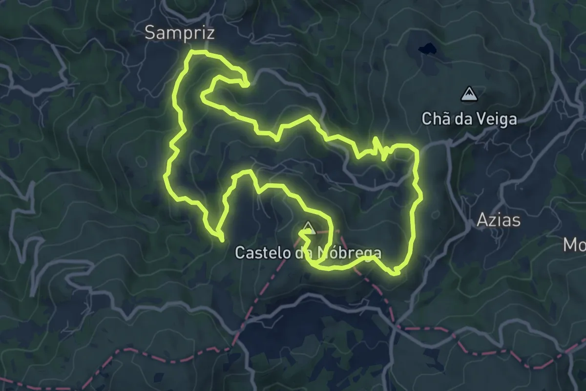
Demanding · Summit
Trilho de Terras da Nóbrega
21.7 km · ↑ 1054 m · 7 h 25 min · 8 km away
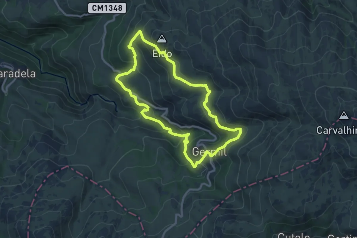
Medium · Summit
Trilho de Germil
7.1 km · ↑ 353 m · 2 h 32 min · 8 km away
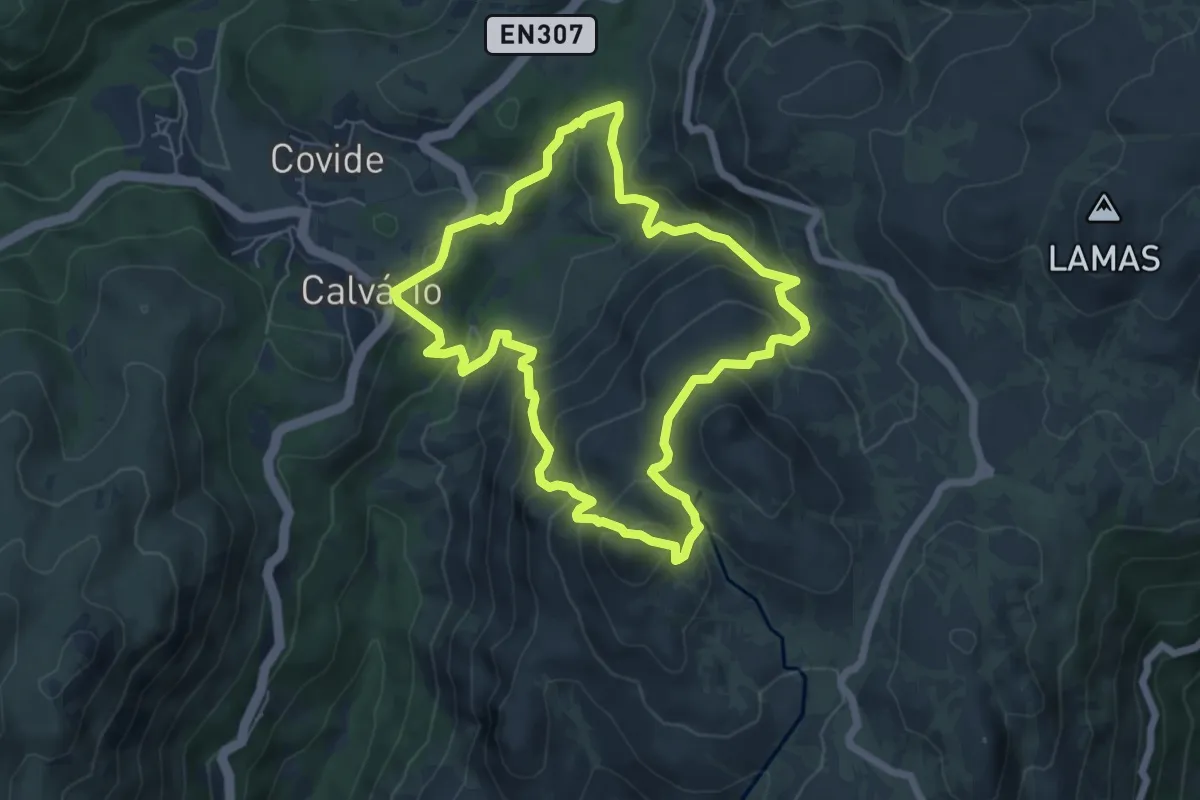
Medium · Summit
Trilho da Calcedónia
6.5 km · ↑ 418 m · 2 h 32 min · 9 km away
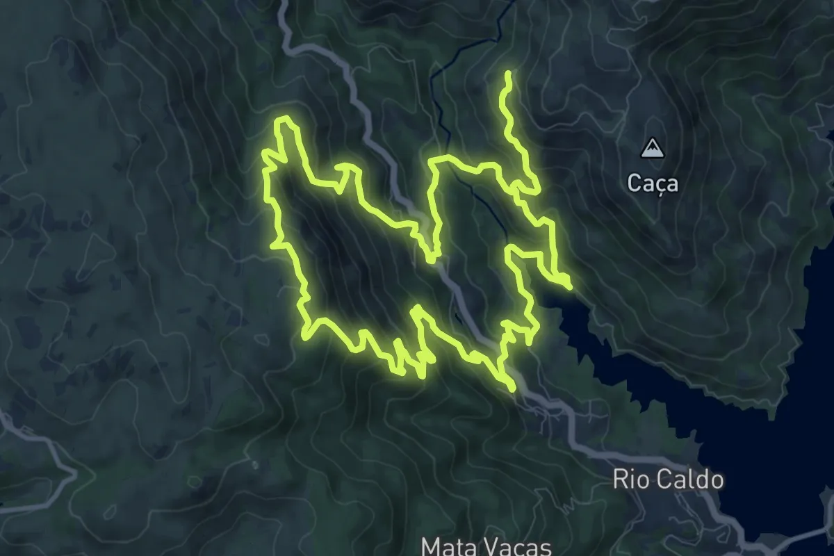
Demanding · Trail
Trilho de São Bento
13.4 km · ↑ 920 m · 5 h 20 min · 9 km away
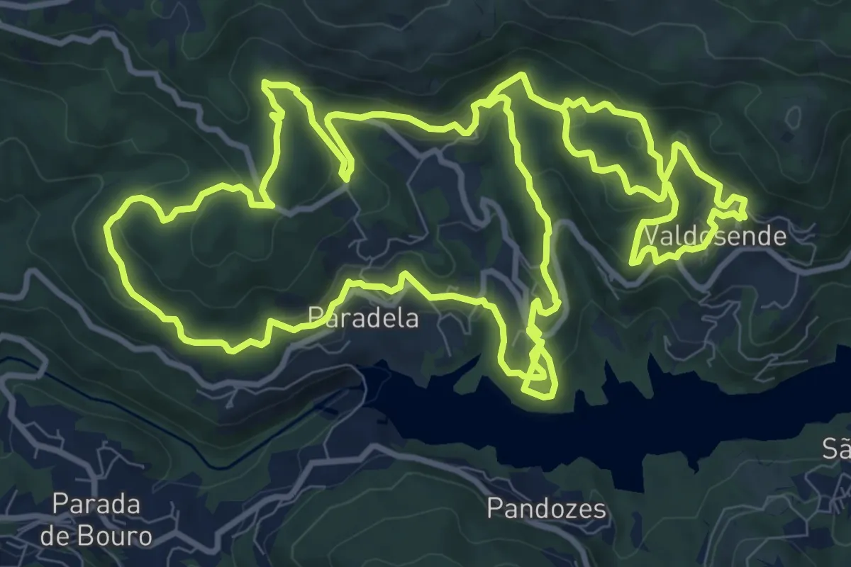
Medium · Trail
Trilho da Albufeira da Canicada
13.0 km · ↑ 631 m · 4 h 37 min · 10 km away
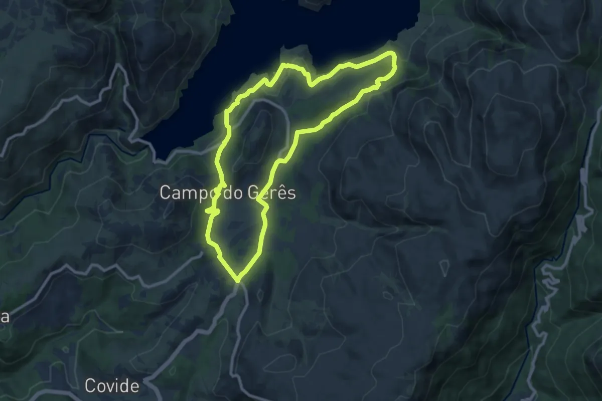
Medium · Trail
Trilho da Águia do Sarilhão
8.7 km · ↑ 379 m · 3 h · 10 km away
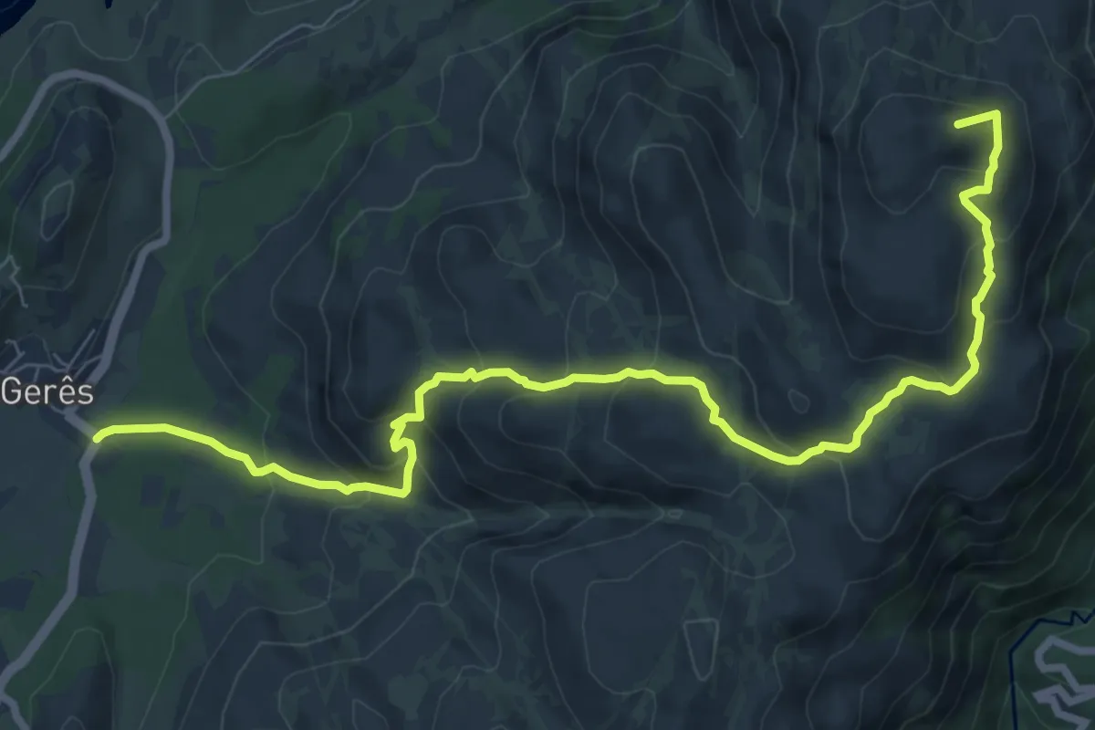
Medium · Summit
PE de Cabril
10.1 km · ↑ 581 m · 3 h 39 min · 10 km away
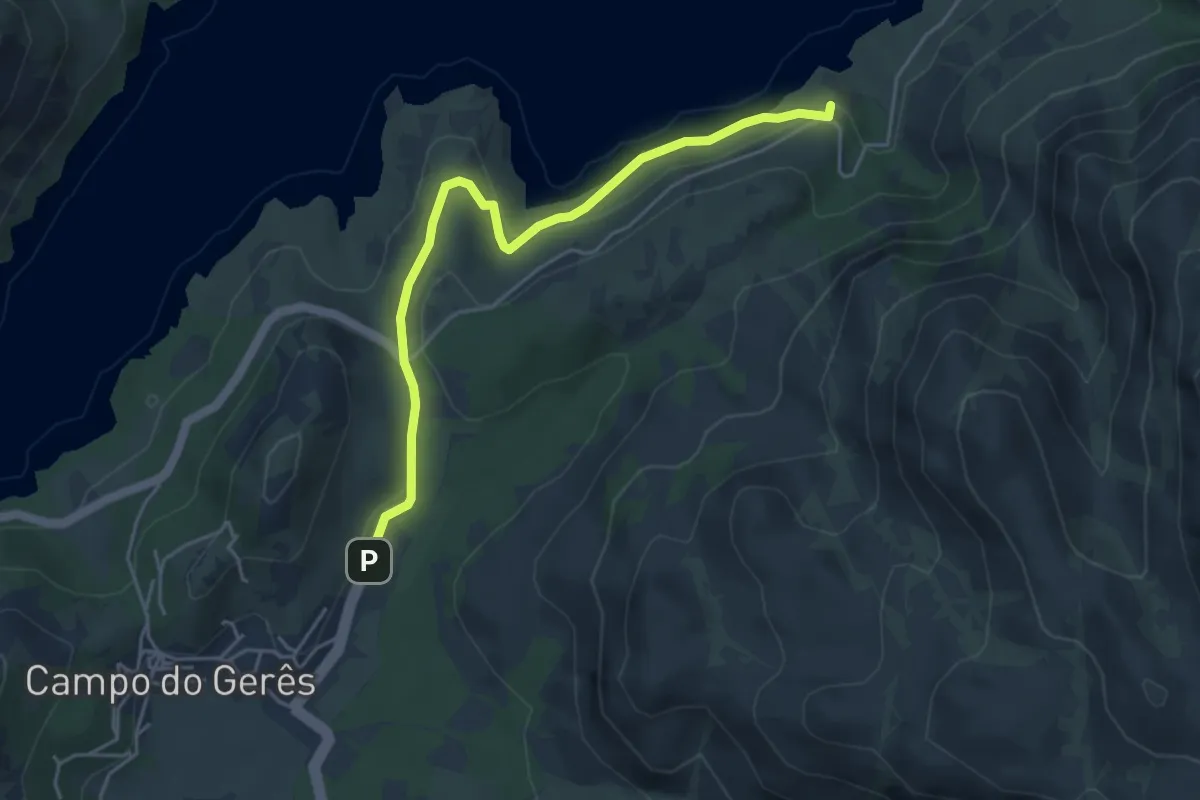
Easy · Trail
Via Nova
5.1 km · ↑ 242 m · 1 h 43 min · 11 km away
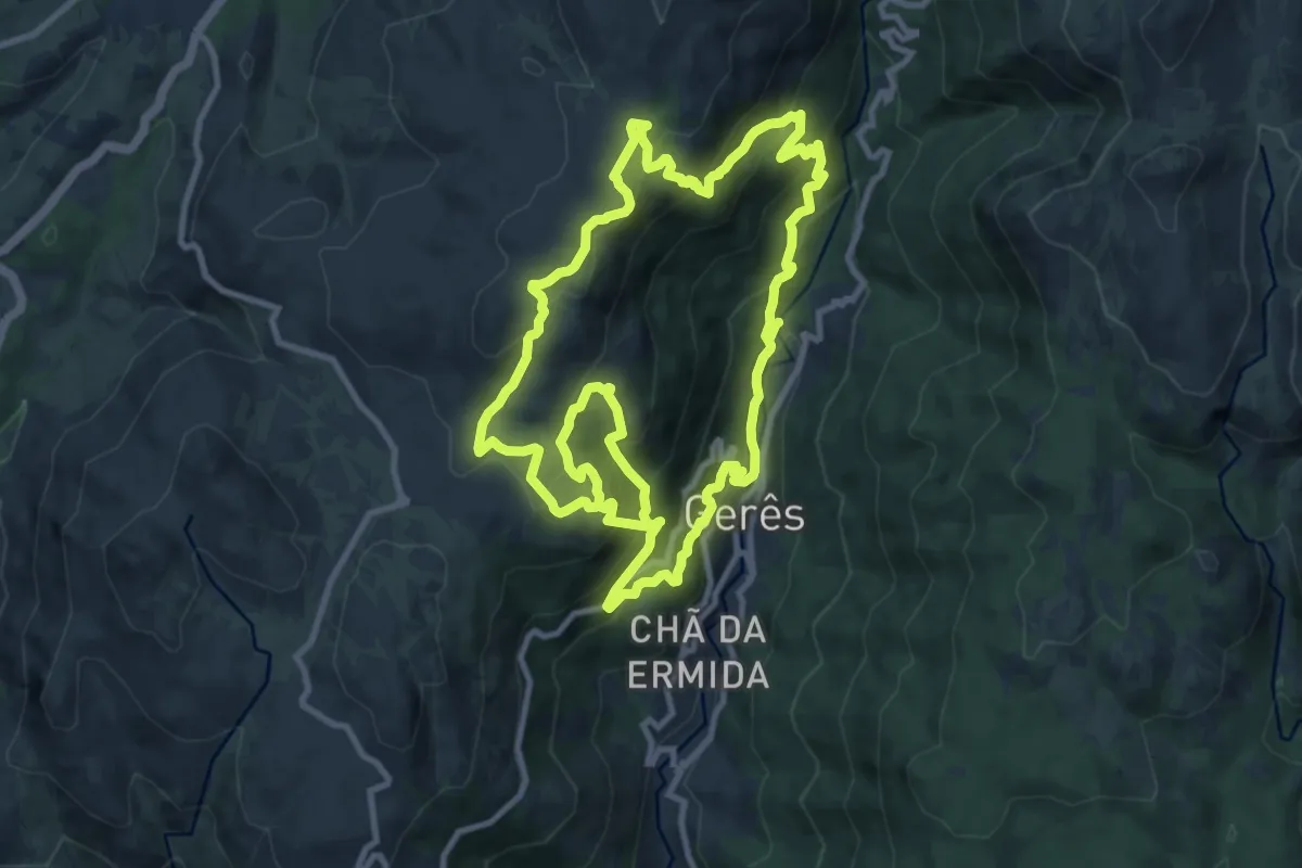
Demanding · Trail
Trilho dos Miradouros
12.0 km · ↑ 1008 m · 5 h 5 min · 12 km away
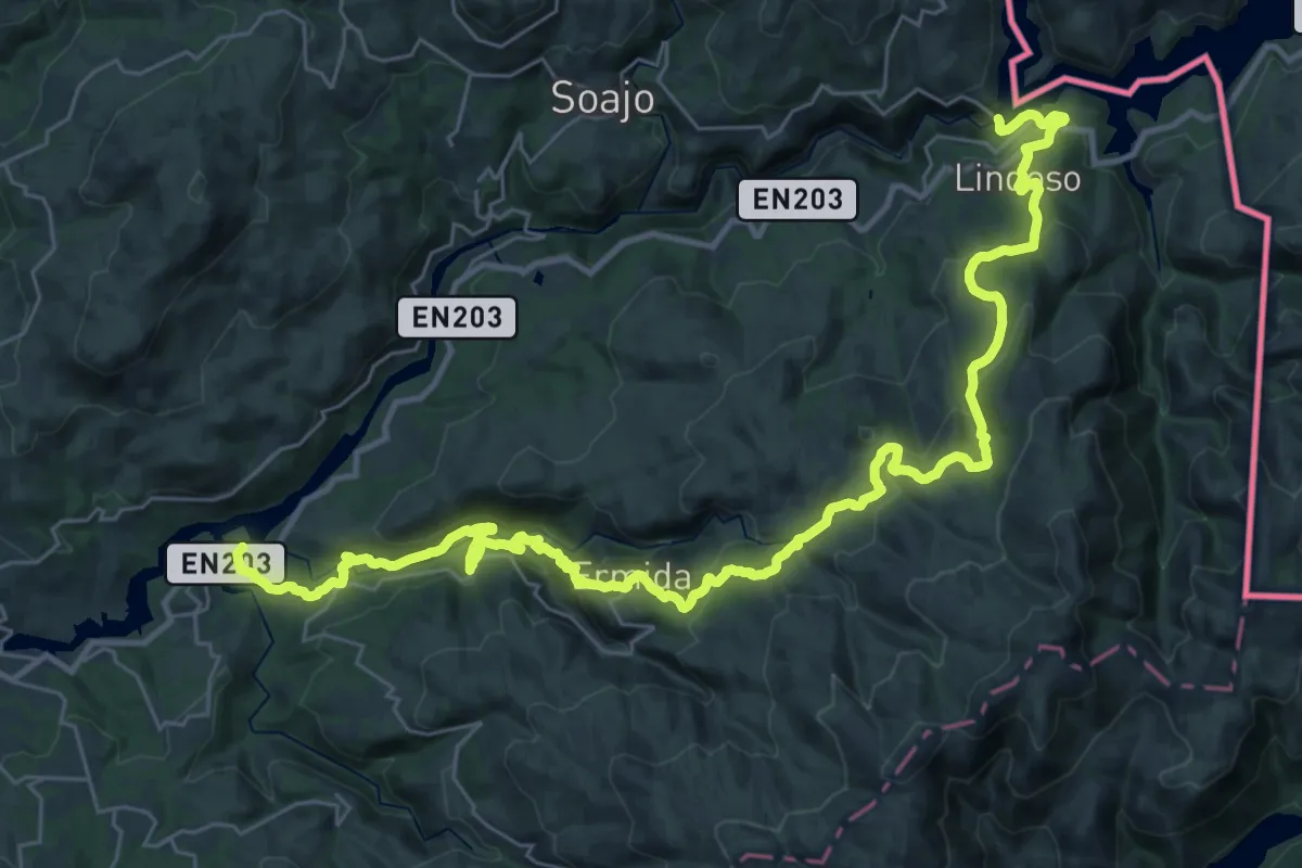
Demanding · Trail
Grande Rota de Montanha do Alto Minho - Ponte da Barca
22.4 km · ↑ 1057 m · 7 h 46 min · 12 km away
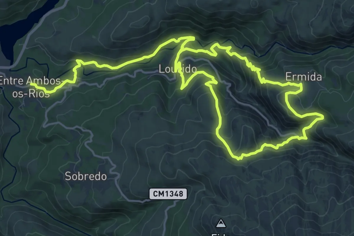
Medium · Trail
Trilho de Entre Ambos-os-Rios à Ermida
12.9 km · ↑ 584 m · 4 h 32 min · 12 km away
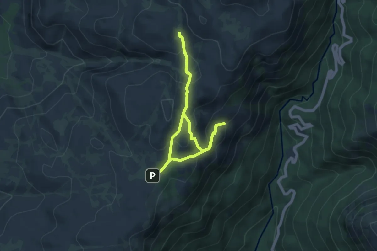
Easy · Cabin
Trilho das Silhas dos Ursos
4.1 km · ↑ 208 m · 1 h 28 min · 12 km away
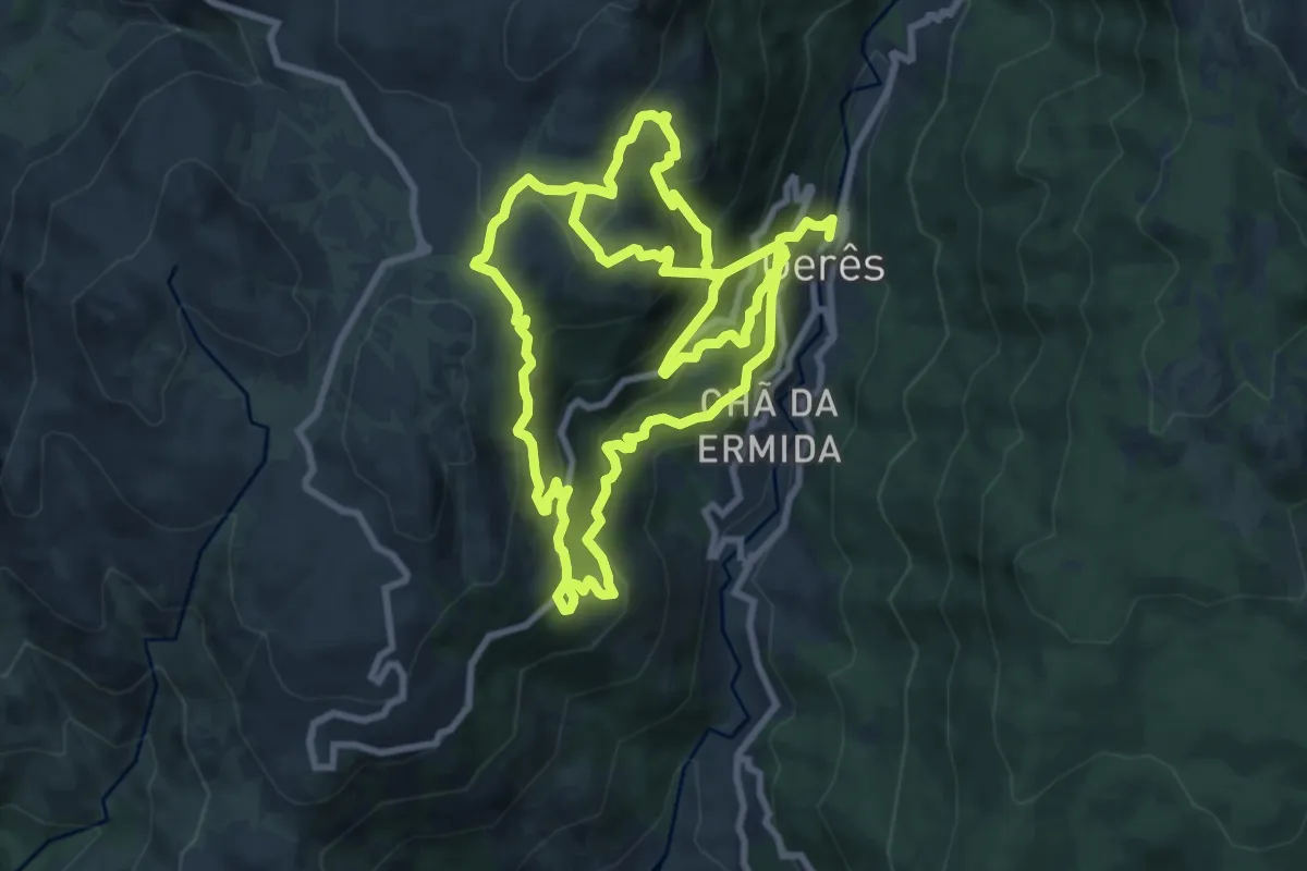
Demanding · Trail
Geres Panorama
10.4 km · ↑ 1059 m · 4 h 40 min · 12 km away
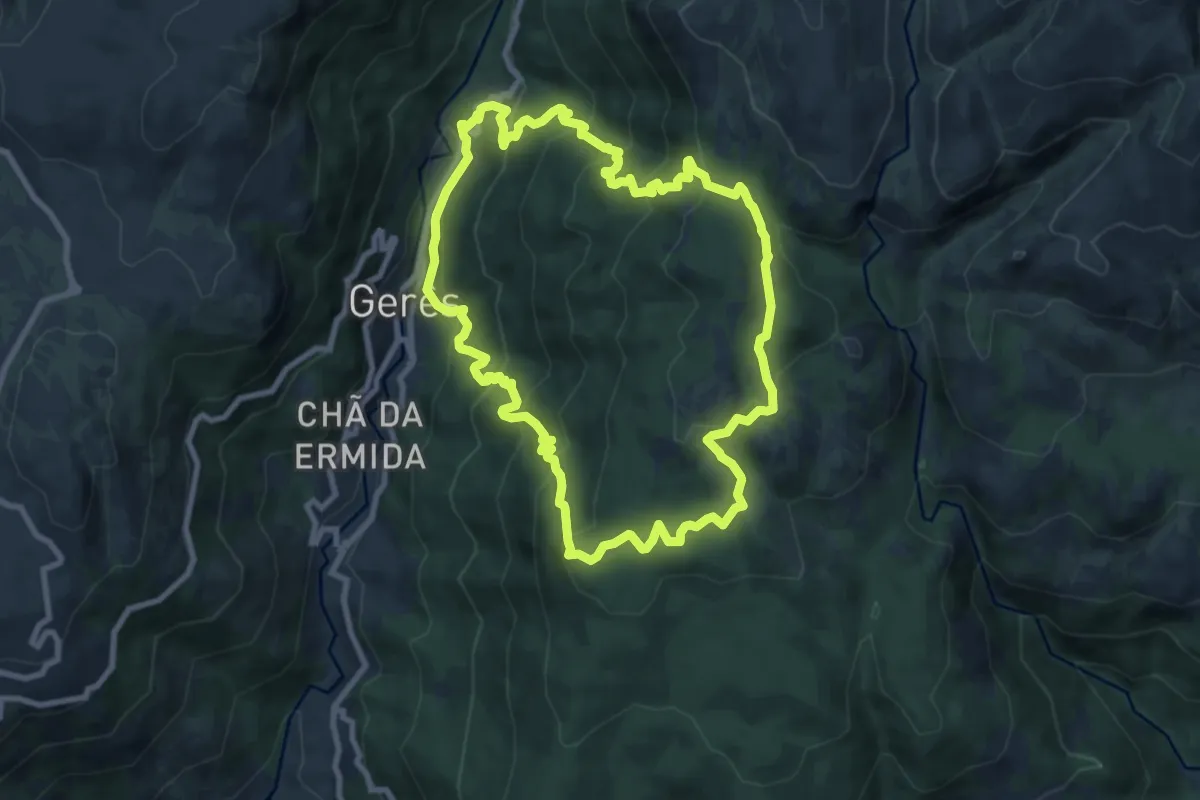
Medium · Trail
Trilho dos Currais
9.6 km · ↑ 656 m · 3 h 49 min · 13 km away
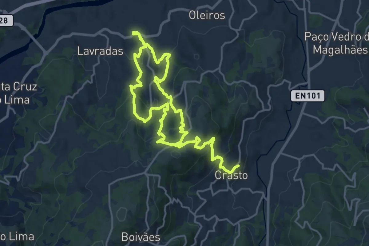
Demanding · Trail
Trilho Românico de Bravães a S. Martinho de Crasto
21.7 km · ↑ 1126 m · 7 h 33 min · 13 km away
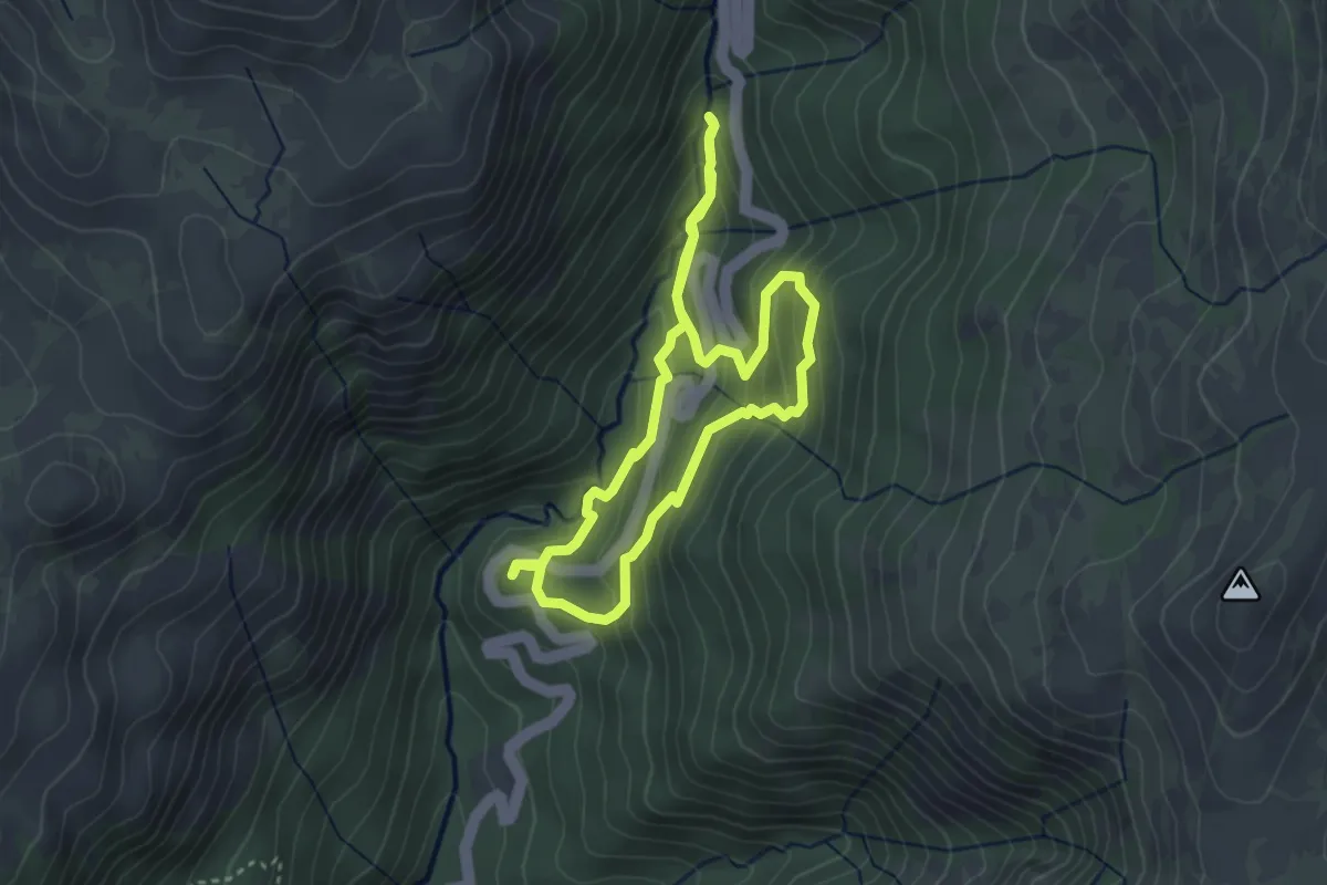
Easy · Trail
Trilho da Preguiça
3.3 km · ↑ 232 m · 1 h 19 min · 13 km away
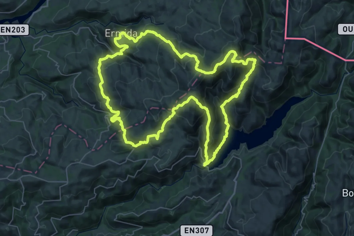
Demanding · Summit
Trilho Interpretativo da Serra Amarela
34.0 km · ↑ 2097 m · 13 h 3 min · 14 km away
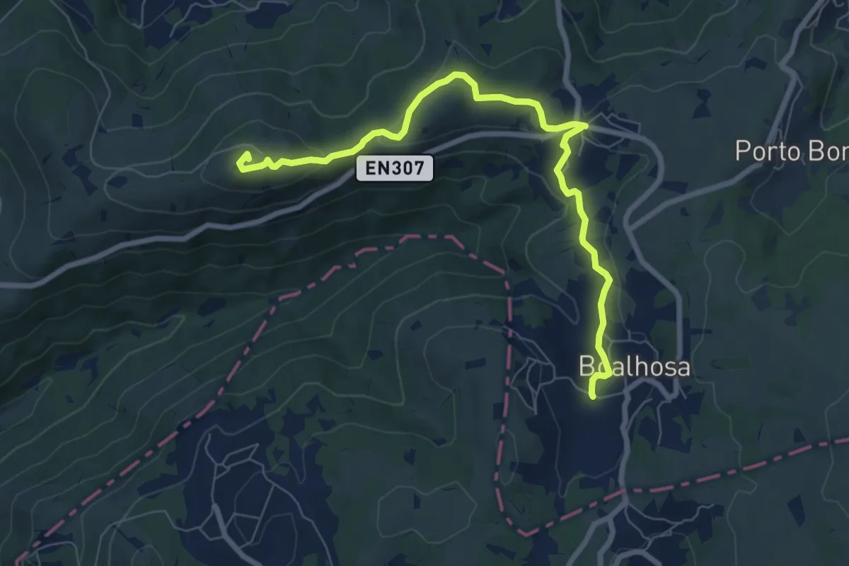
Medium · Summit
Percurso do Carvalhal de Trovel
8.4 km · ↑ 254 m · 2 h 32 min · 14 km away
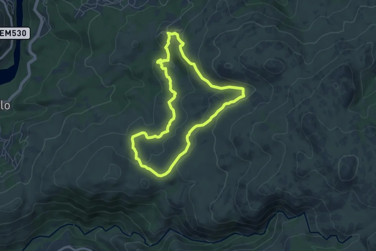
Easy · Trail
Trilho do Megalitismo de Britelo
6.3 km · ↑ 207 m · 2 h 1 min · 15 km away