Trails near Válega
24 hikes starting within 15 km, nearest first.
Nearest first
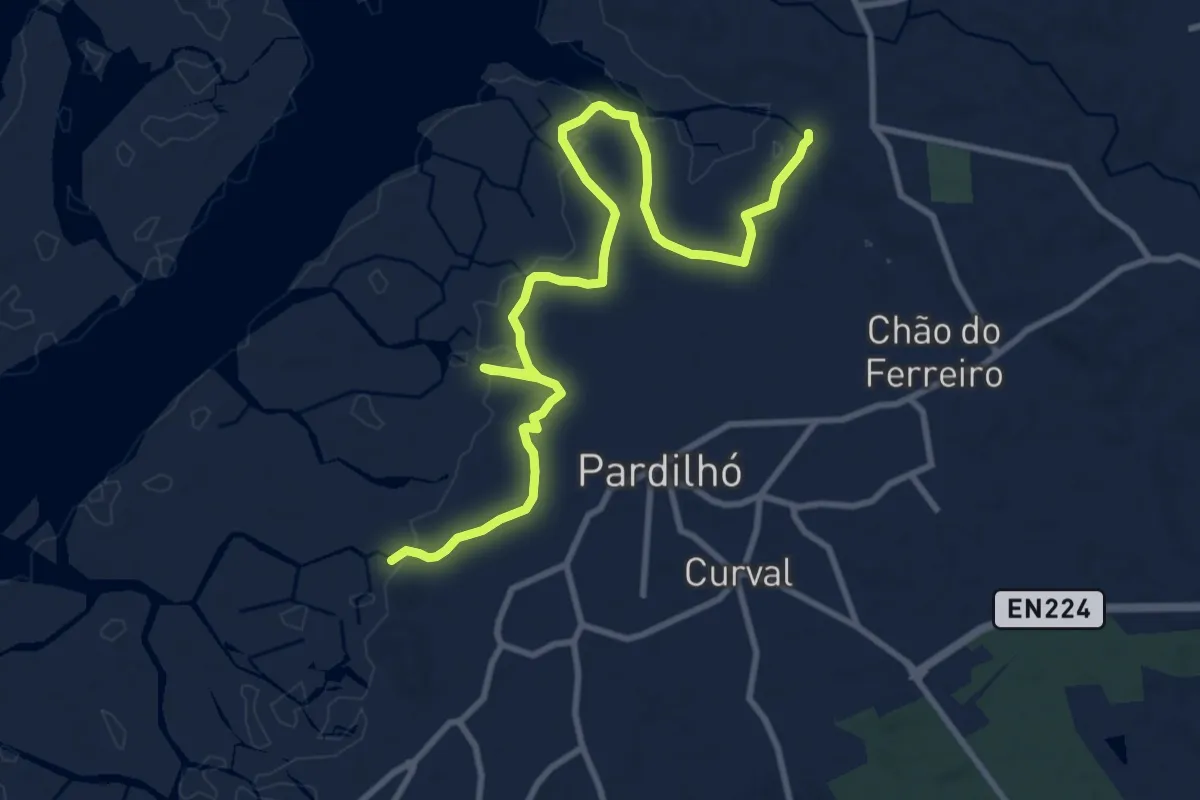
Medium · Trail
Percurso das Ribeiras de Pardilhó
13.4 km · ↑ 17 m · 3 h 13 min · 4 km away
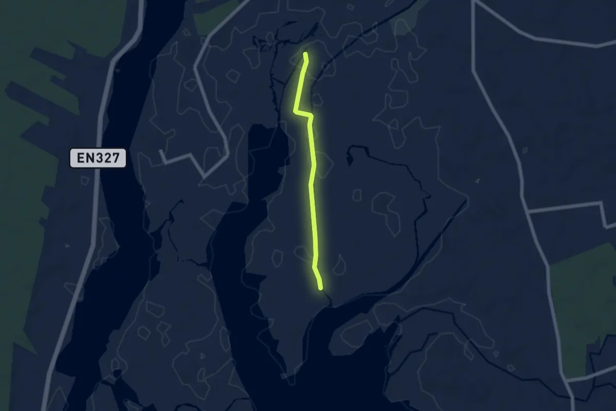
Easy · Trail
Percurso 2 – Cais da Ribeira até à Foz do Cáster
4.7 km · ↑ 0 m · 1 h 6 min · 5 km away
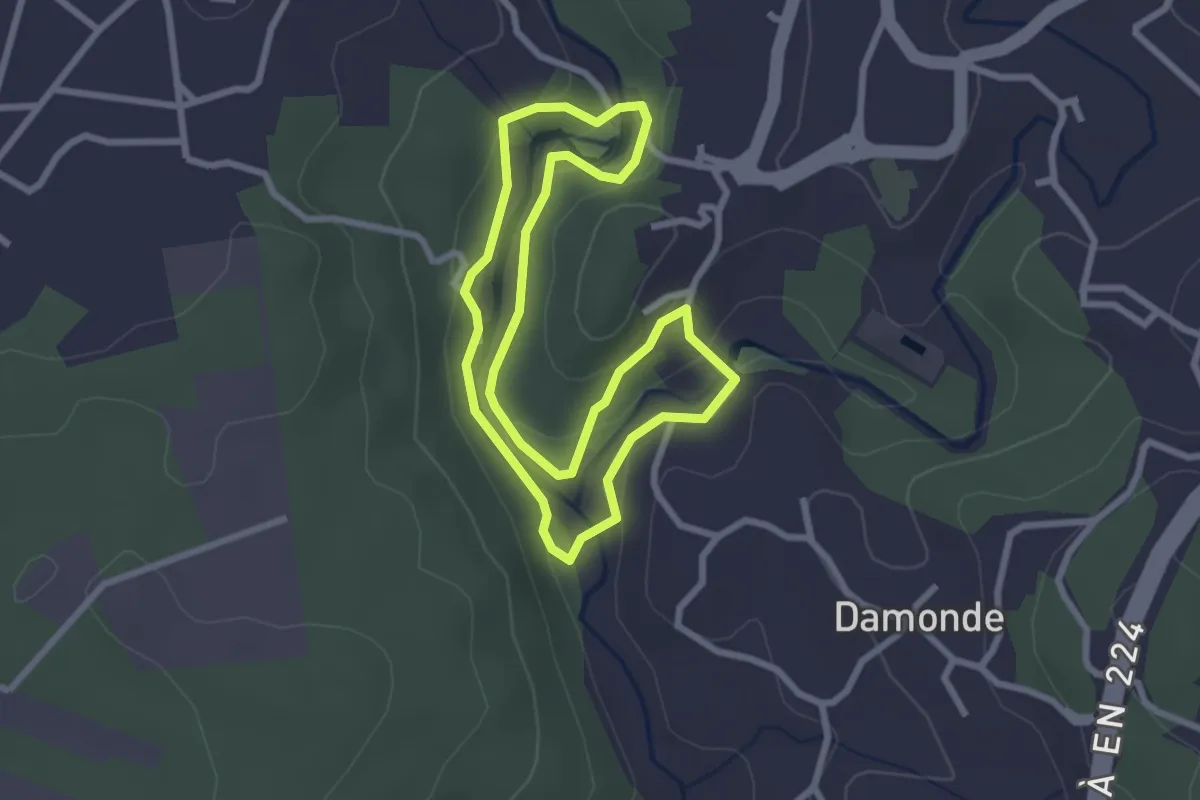
Easy · Trail
Rota dos Moinhos de Ul
2.8 km · ↑ 87 m · 54 min · 7 km away
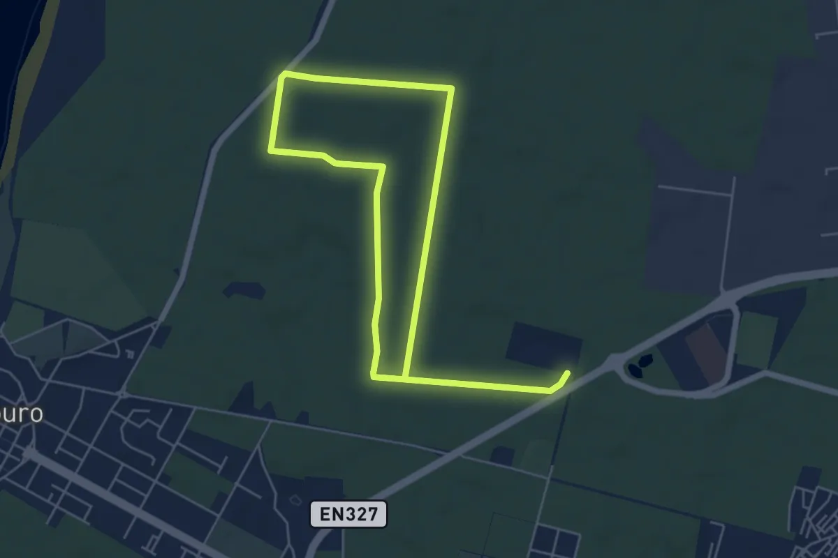
Easy · Trail
Trilho da Floresta
5.0 km · ↑ 22 m · 1 h 17 min · 7 km away
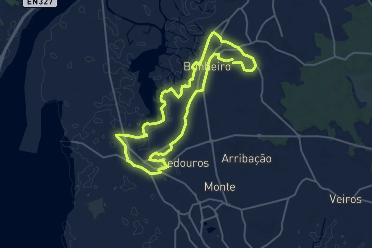
Medium · Trail
Percurso Natural e Cultural do Bunheiro
10.9 km · ↑ 4 m · 2 h 45 min · 8 km away
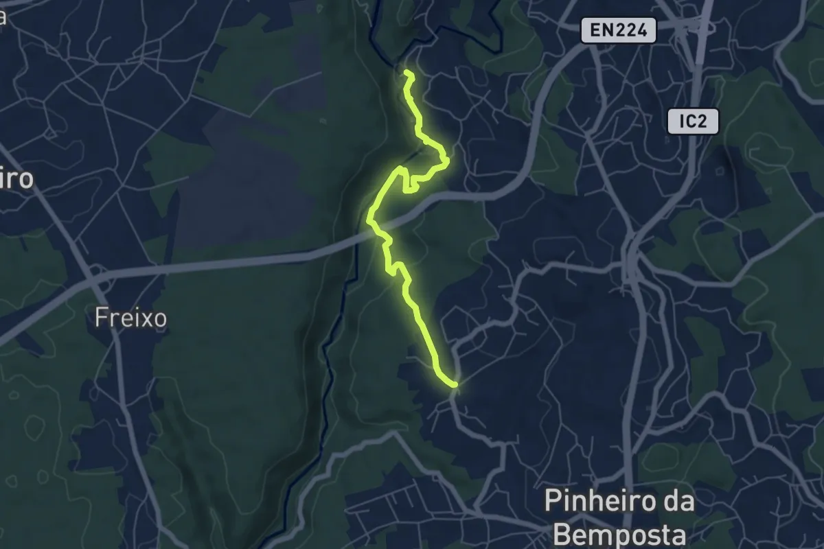
Easy · Trail
Rota do Rio
6.1 km · ↑ 169 m · 1 h 48 min · 9 km away
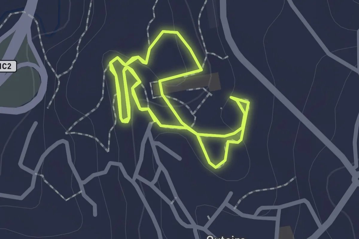
Easy · Trail
Trilhos do Comandante — Marcha e corrida
2.3 km · ↑ 30 m · 38 min · 9 km away
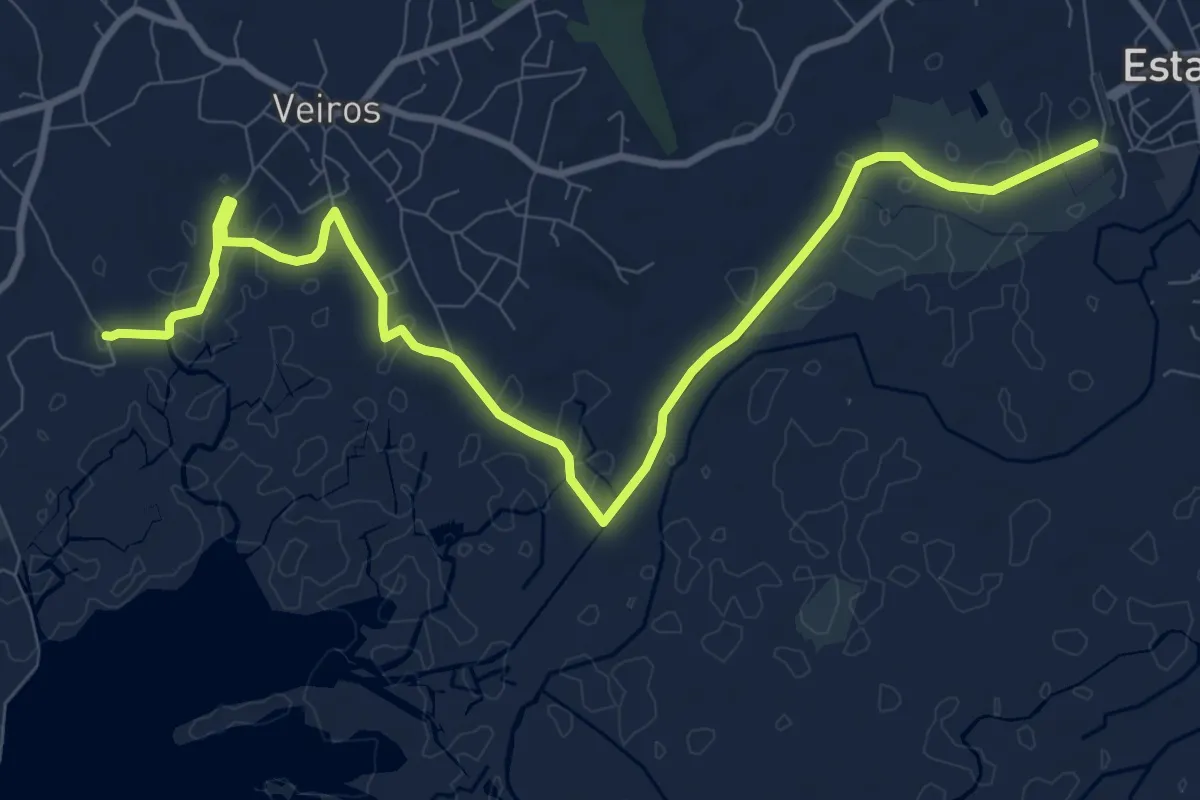
Medium · Trail
Percurso das Ribeiras de Veiros
12.8 km · ↑ 0 m · 3 h 1 min · 10 km away
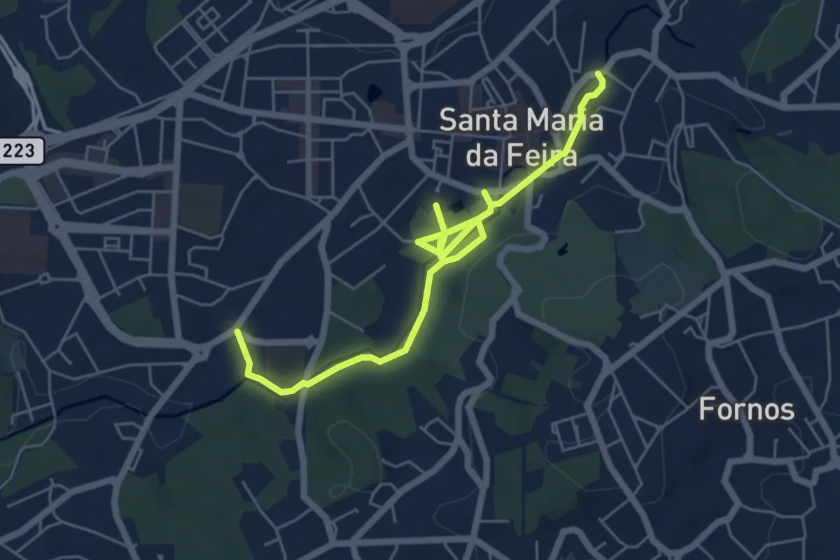
Easy · Trail
Percurso Urbano do Cáster
6.7 km · ↑ 63 m · 1 h 43 min · 10 km away
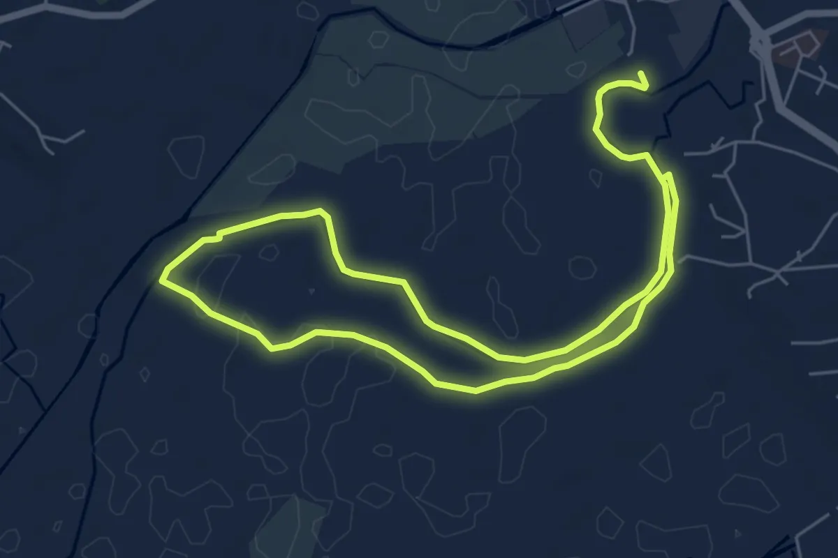
Medium · Trail
Percurso do Rio Antuã
11.3 km · ↑ 0 m · 2 h 39 min · 10 km away
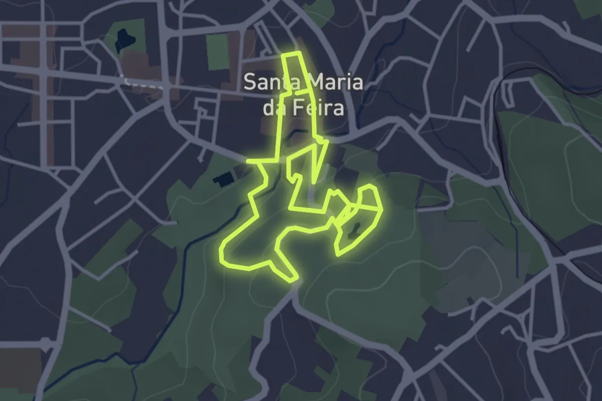
Easy · Trail
Percurso com História
3.6 km · ↑ 112 m · 1 h 8 min · 10 km away
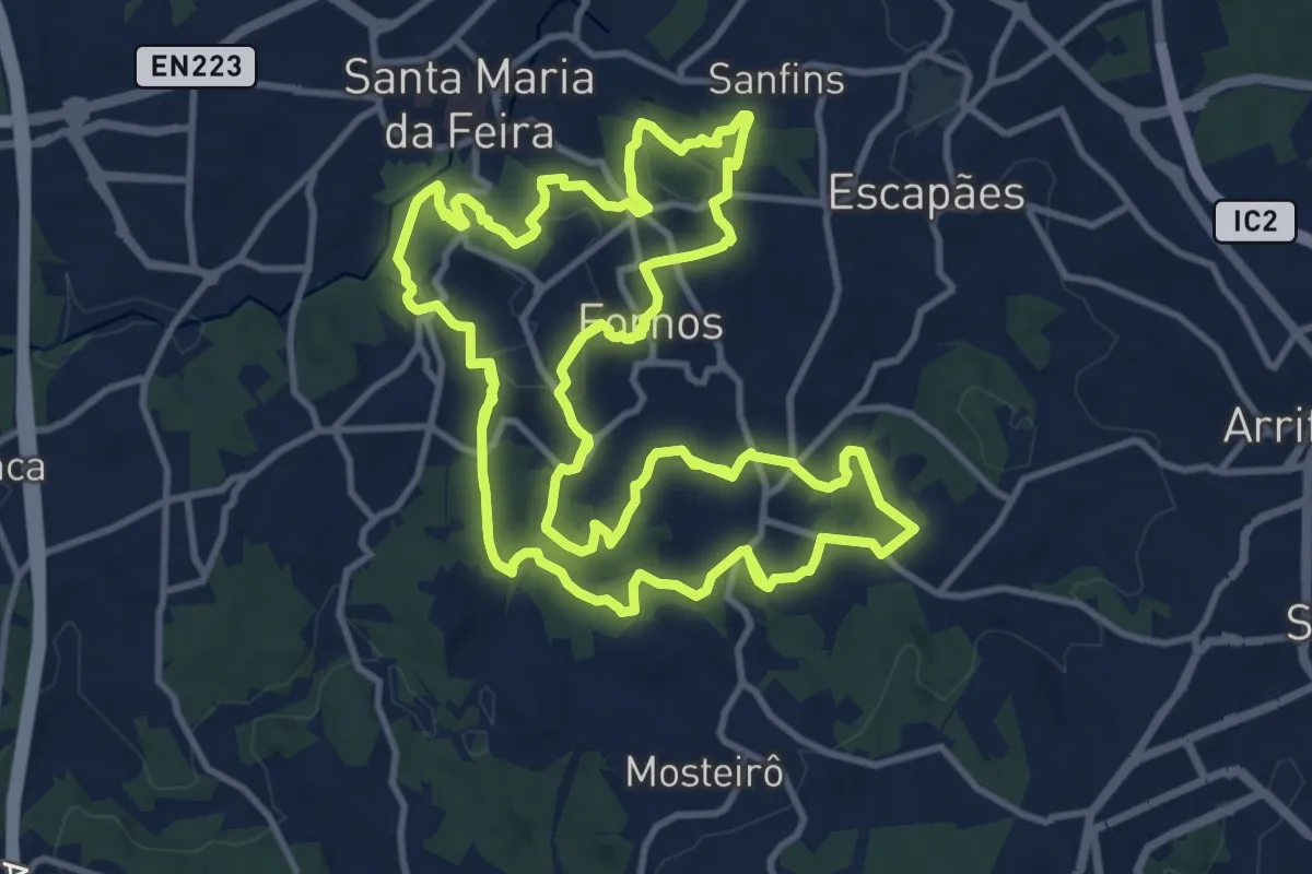
Medium · Trail
Trilho dos Três Arcos
17.8 km · ↑ 539 m · 5 h 37 min · 10 km away
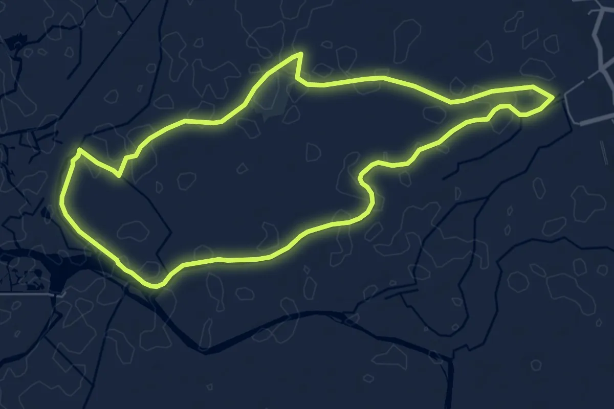
Easy · Trail
Percurso de Salreu
7.6 km · ↑ 0 m · 1 h 54 min · 11 km away
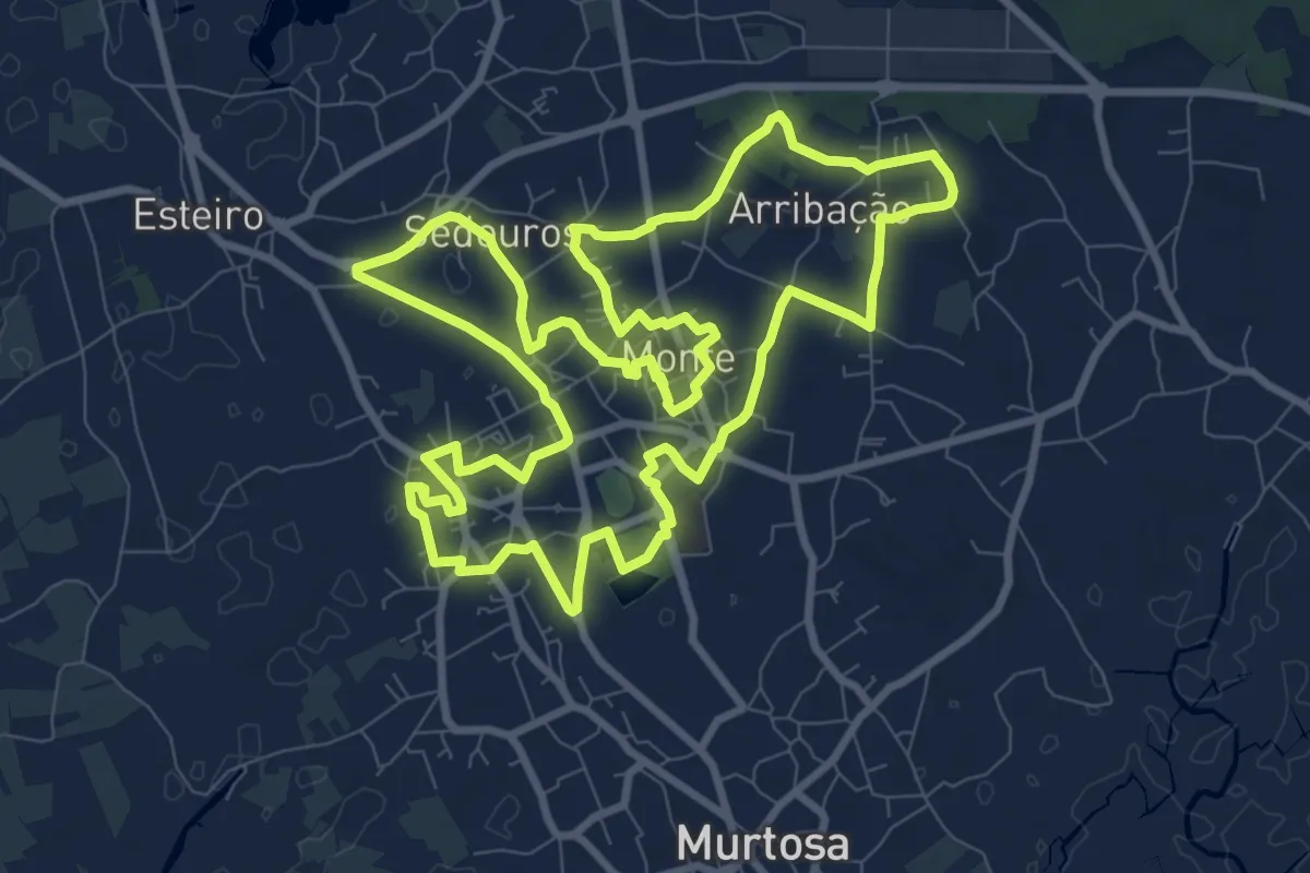
Medium · Trail
Percurso Urbano Pardelhas–Monte
12.2 km · ↑ 22 m · 3 h 5 min · 12 km away
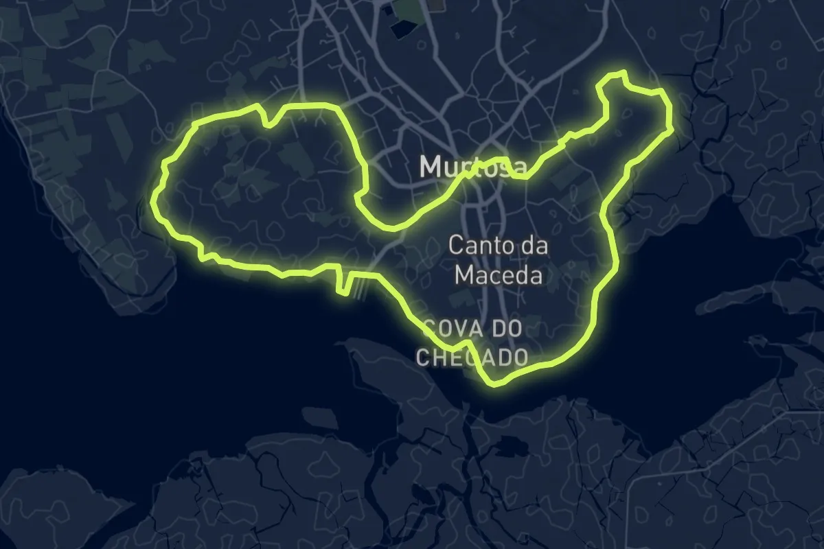
Medium · Trail
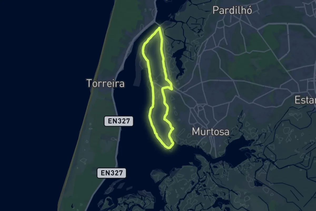
Percurso do Canal da Murtosa
11.6 km · ↑ 4 m · 2 h 55 min · 12 km away
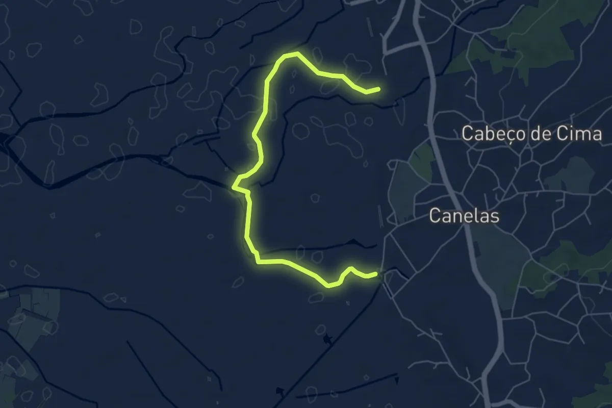
Easy · Trail
Percurso do Bocage
7.3 km · ↑ 0 m · 1 h 43 min · 12 km away
Medium · Trail
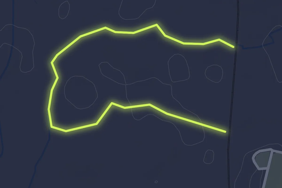
Percurso dos Campos da Ria
15.3 km · ↑ 0 m · 3 h 50 min · 12 km away
Easy · Trail
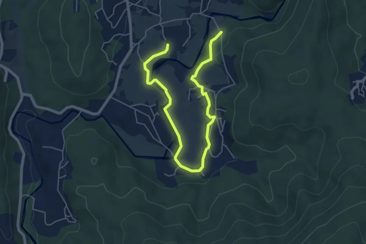
Percurso do Rio Jardim
3.5 km · ↑ 0 m · 50 min · 13 km away
Easy · Trail
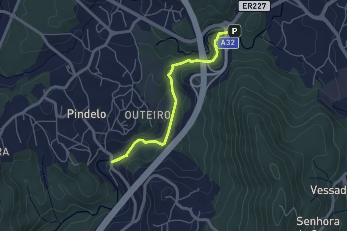
Roteiro Literário Ferreira de Castro
6.5 km · ↑ 146 m · 1 h 51 min · 13 km away
Easy · Trail
Passadiços de Pindelo
4.2 km · ↑ 126 m · 1 h 15 min · 14 km away
Demanding · Trail
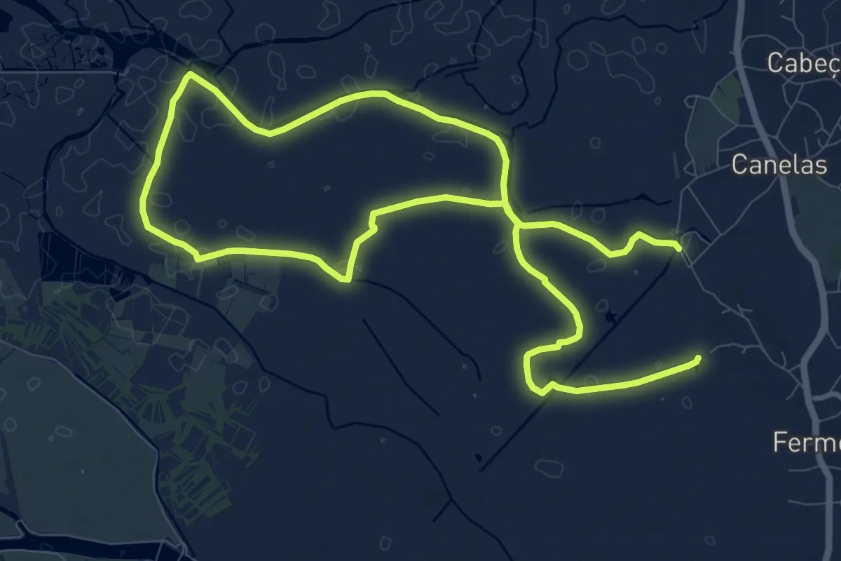
Percurso de Fermelã
20.1 km · ↑ 0 m · 4 h 44 min · 14 km away
Medium · Trail
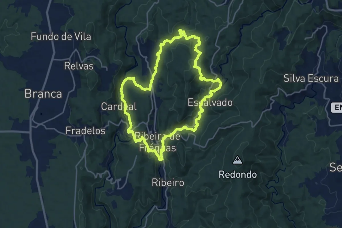
Trilho dos Três Rios
14.4 km · ↑ 469 m · 4 h 38 min · 14 km away
Medium · Trail
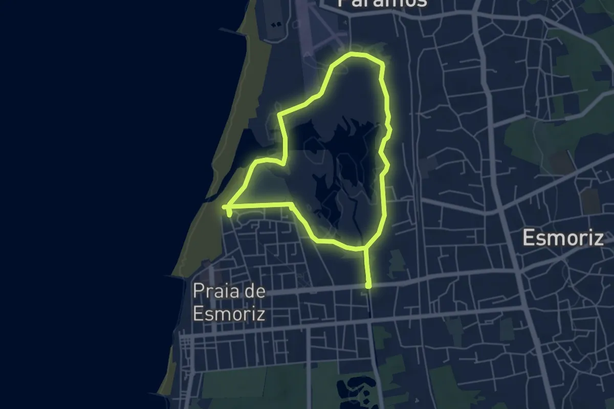
Passadiços de Esmoriz
10.4 km · ↑ 30 m · 2 h 31 min · 15 km away
Easy · Trail
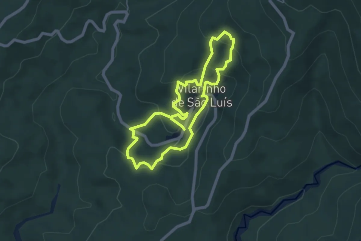
Percurso dos Espigueiros
4.2 km · ↑ 220 m · 1 h 31 min · 15 km away