Trails near Vieira do Minho
23 hikes starting within 15 km, nearest first.
Nearest first
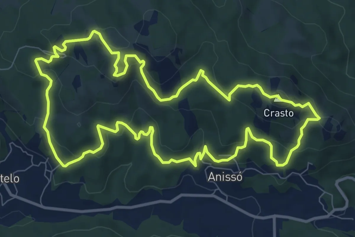
Medium · Summit
Da Sra. da Lapa ao Castro de Anissó
9.2 km · ↑ 401 m · 3 h 10 min · 4 km away
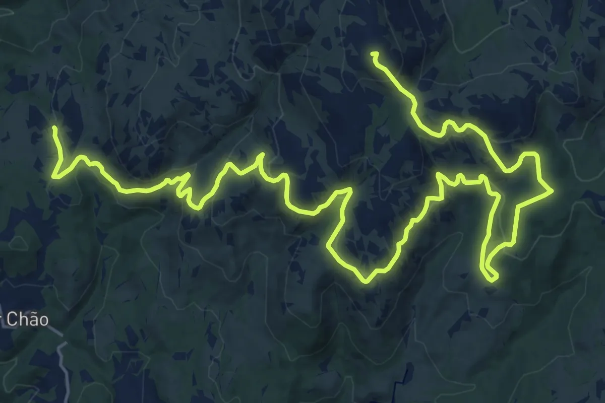
Demanding · Summit
Grande Rota – Fojos
31.1 km · ↑ 1123 m · 9 h 47 min · 5 km away
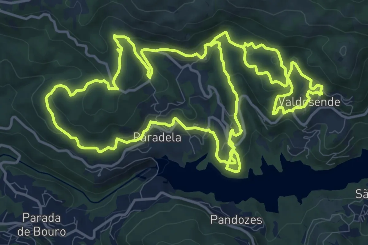
Medium · Trail
Trilho da Albufeira da Canicada
13.0 km · ↑ 631 m · 4 h 37 min · 7 km away
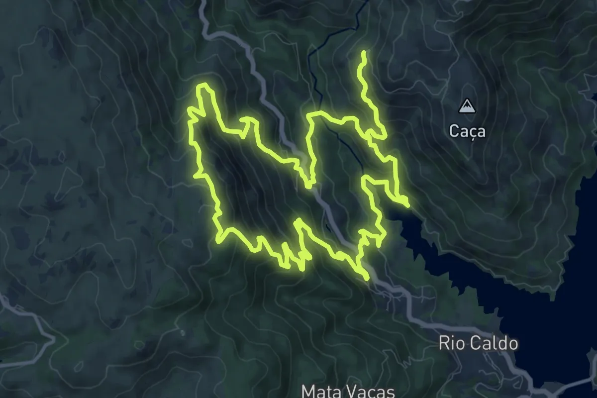
Demanding · Trail
Trilho de São Bento
13.4 km · ↑ 920 m · 5 h 20 min · 8 km away
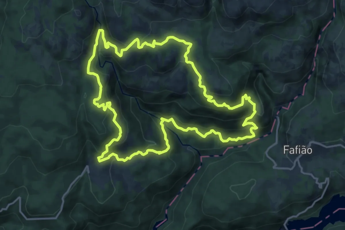
Medium · Trail
Trilho do Sobreiral da Ermida do Gerês
13.2 km · ↑ 755 m · 4 h 56 min · 8 km away
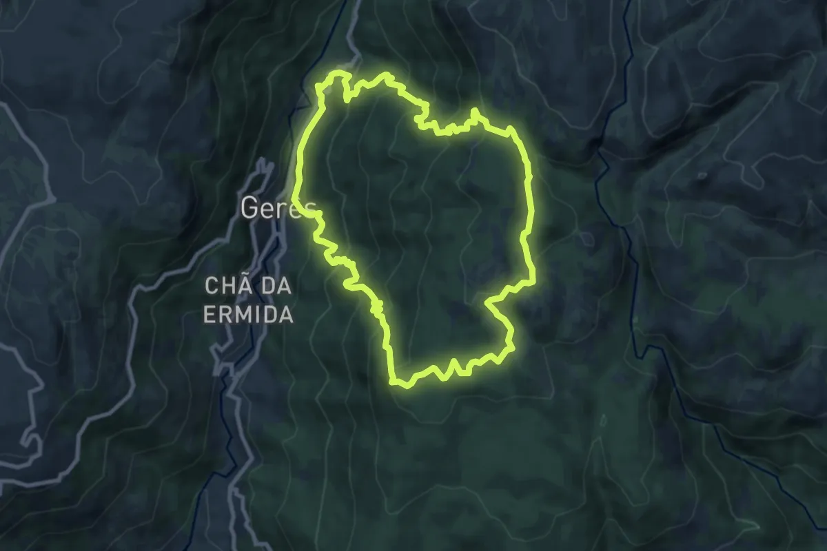
Medium · Trail
Trilho dos Currais
9.6 km · ↑ 656 m · 3 h 49 min · 9 km away
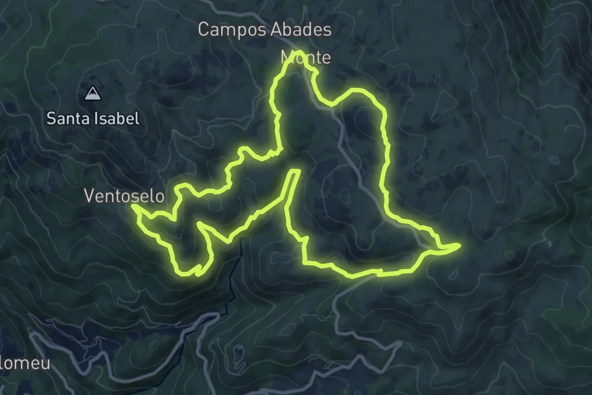
Medium · Trail
Trilho dos Moinhos de Santa Isabel do Monte
12.3 km · ↑ 573 m · 4 h 19 min · 9 km away
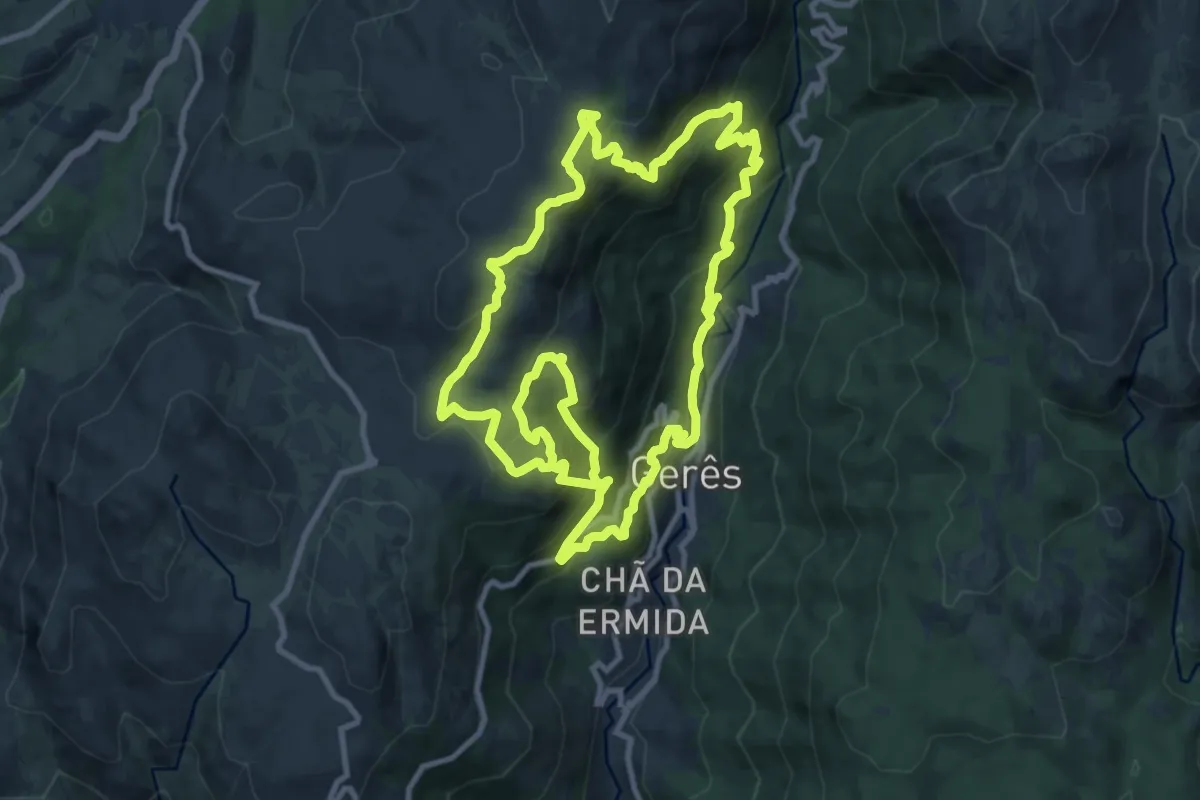
Demanding · Trail
Trilho dos Miradouros
12.0 km · ↑ 1008 m · 5 h 5 min · 10 km away
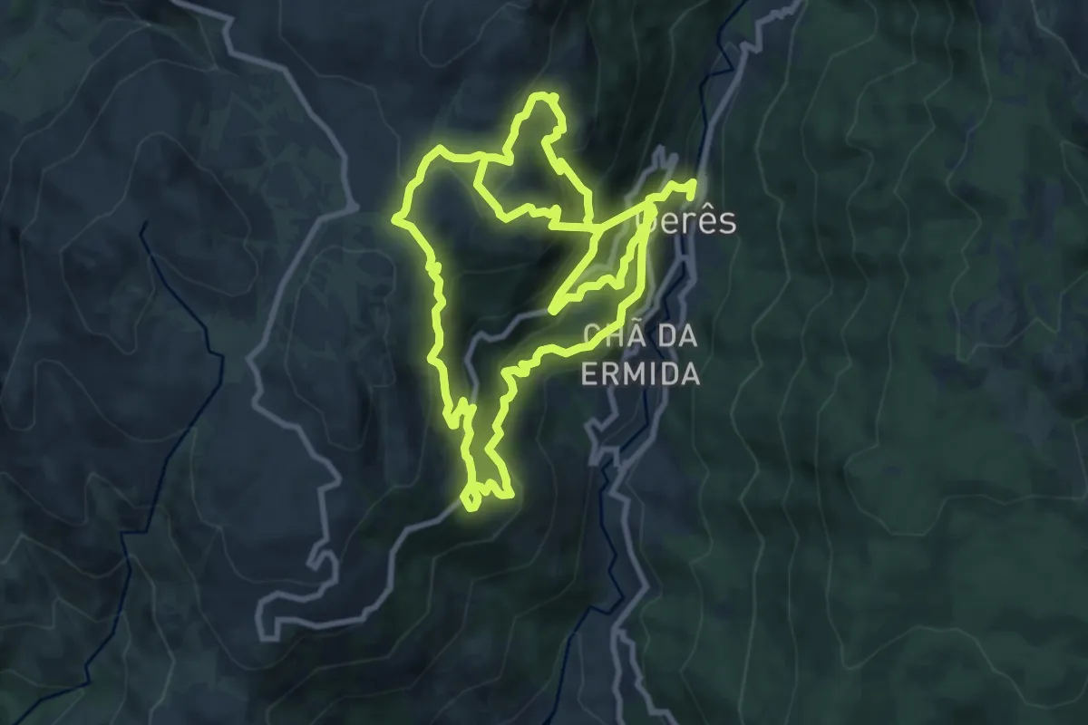
Demanding · Trail
Geres Panorama
10.4 km · ↑ 1059 m · 4 h 40 min · 11 km away
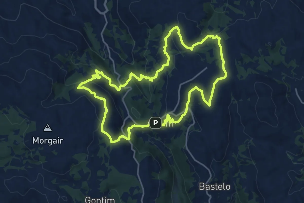
Medium · Trail
À descoberta de Aboim
12.8 km · ↑ 499 m · 4 h 17 min · 11 km away
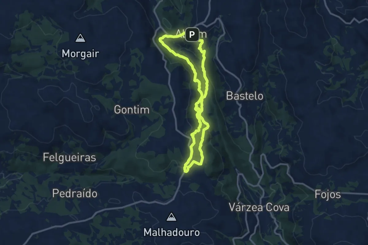
Medium · Trail
Caminhos de São João da Ramalheira
8.6 km · ↑ 372 m · 2 h 57 min · 11 km away
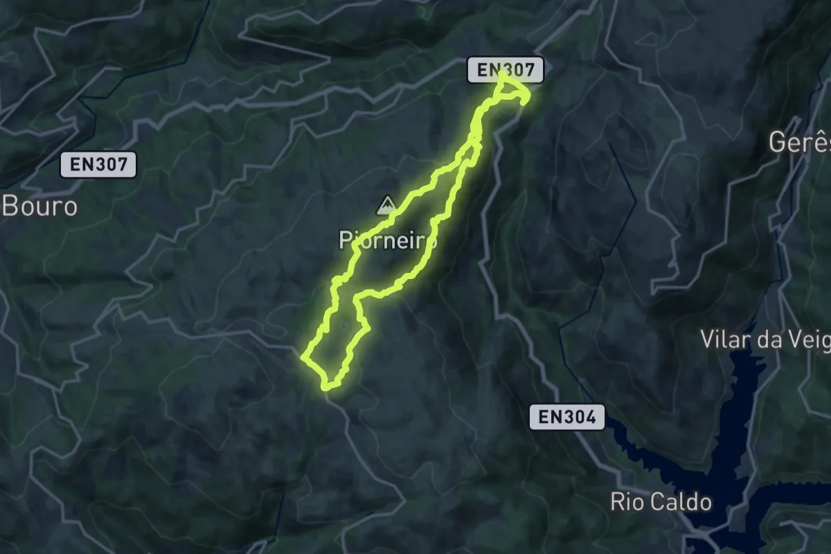
Medium · Summit
Trilho do Castelo
13.9 km · ↑ 663 m · 4 h 55 min · 12 km away
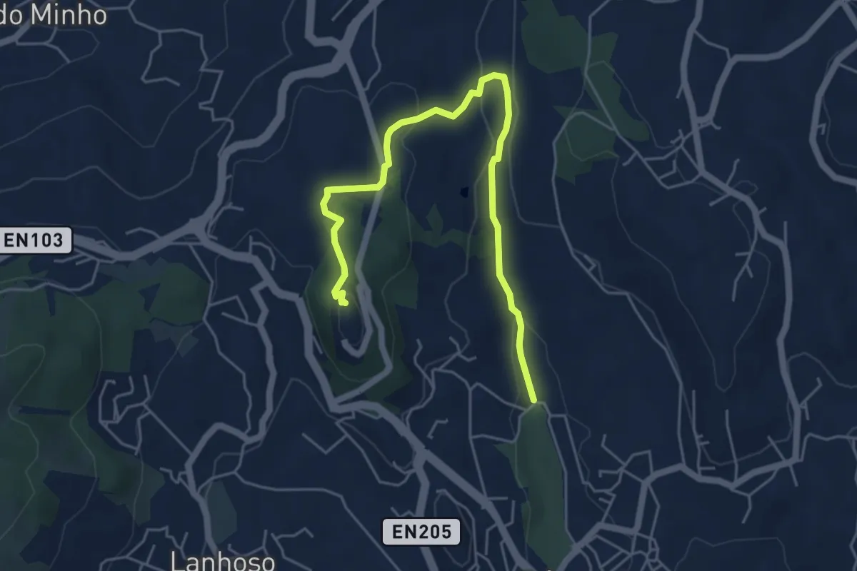
Easy · Summit
Trilho dos Moinhos do Pontido
6.0 km · ↑ 163 m · 1 h 46 min · 12 km away
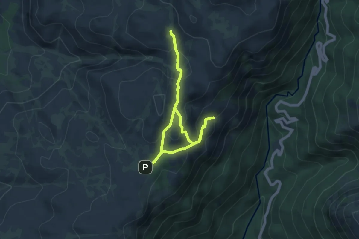
Easy · Cabin
Trilho das Silhas dos Ursos
4.1 km · ↑ 208 m · 1 h 28 min · 13 km away
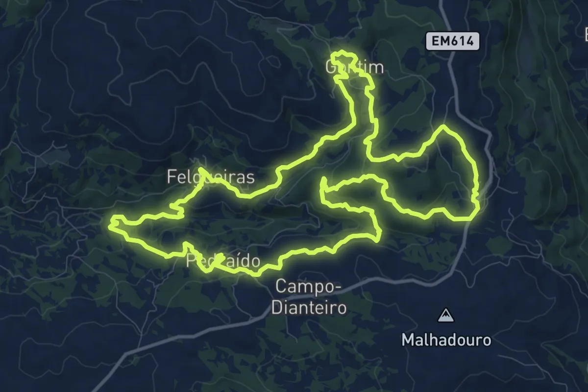
Medium · Trail
As Aldeias das Margens do Rio Vizela
14.4 km · ↑ 484 m · 4 h 40 min · 13 km away
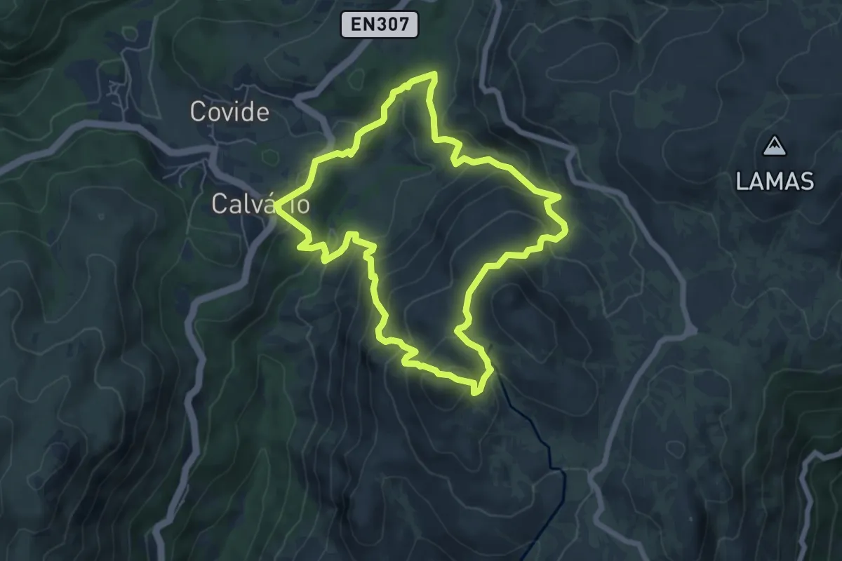
Medium · Summit
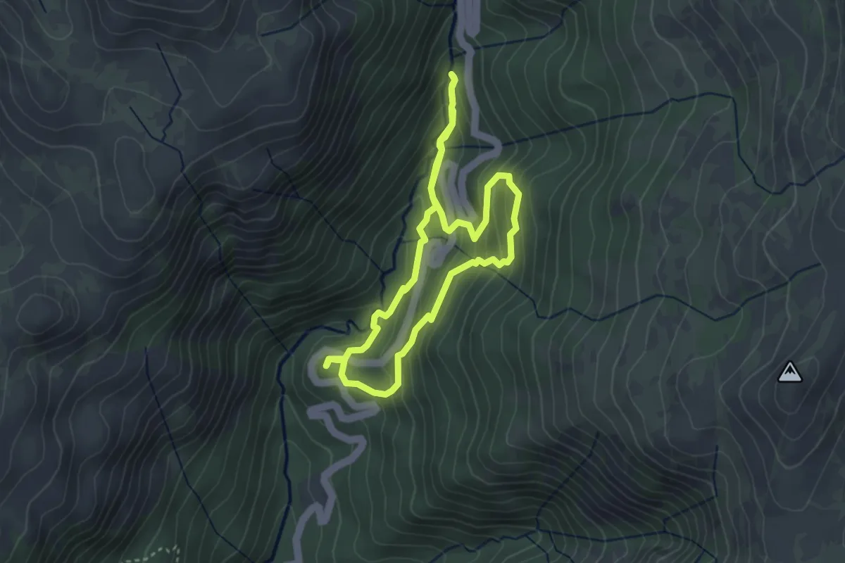
Trilho da Calcedónia
6.5 km · ↑ 418 m · 2 h 32 min · 13 km away
Easy · Trail
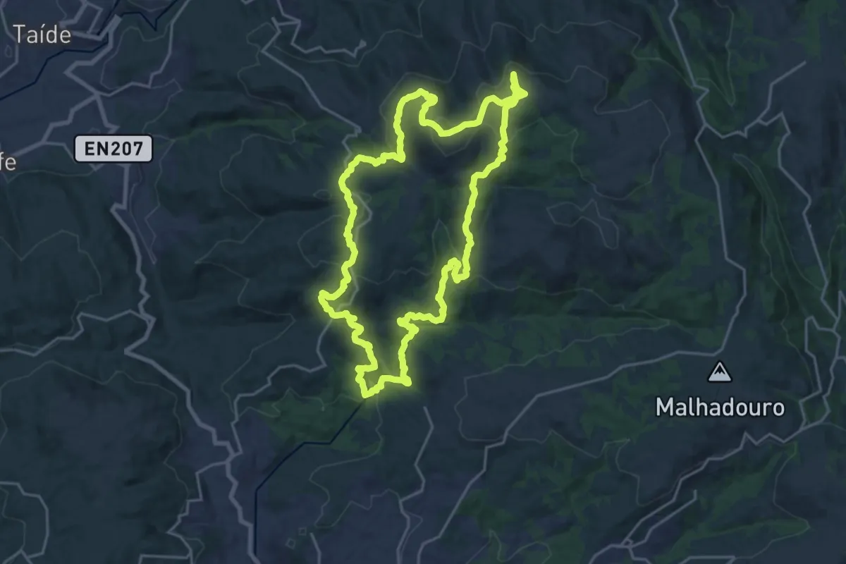
Trilho da Preguiça
3.3 km · ↑ 232 m · 1 h 19 min · 13 km away
Demanding · Trail
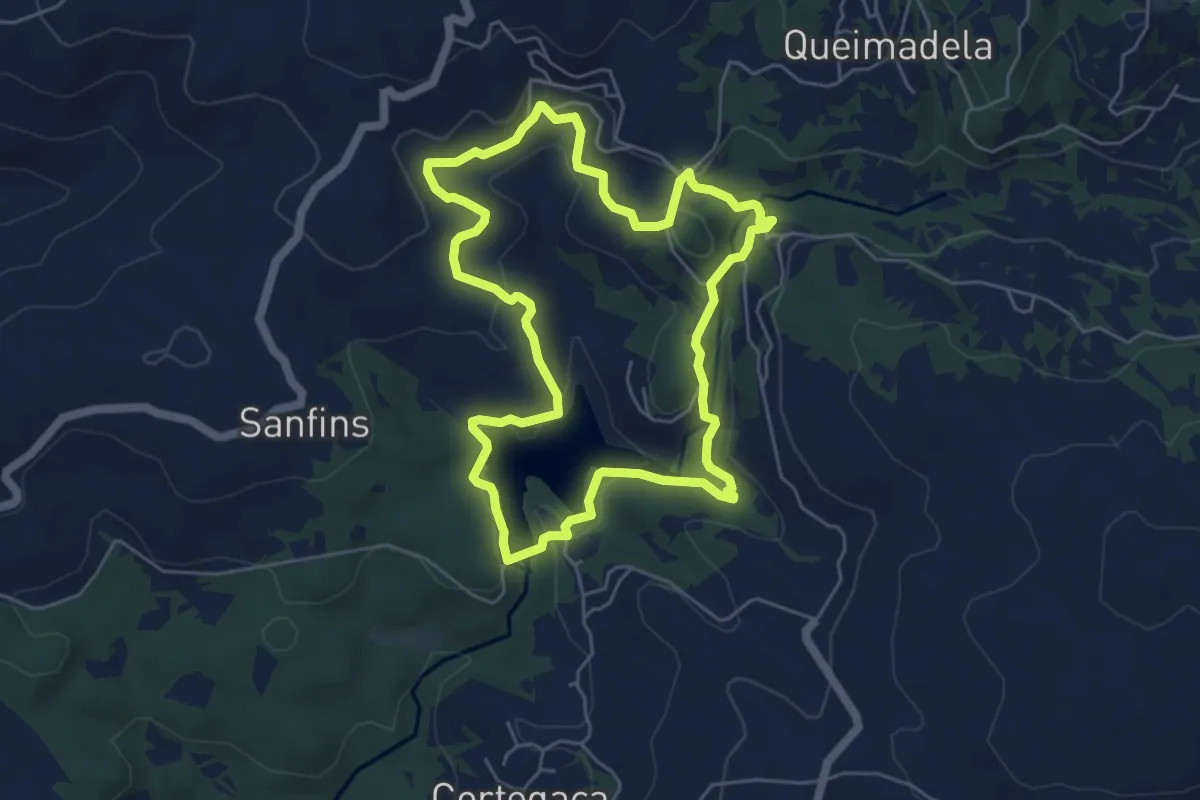
Rota do Maroiço
20.8 km · ↑ 686 m · 6 h 42 min · 13 km away
Easy · Trail
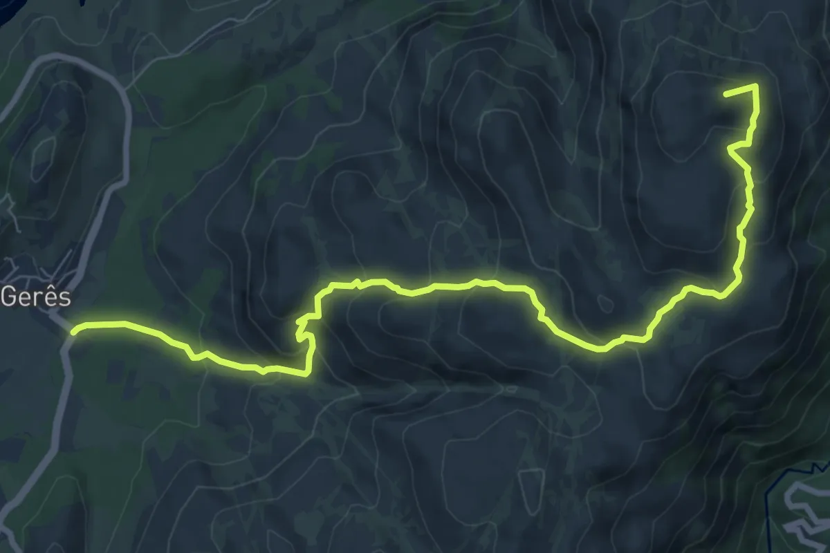
Trilho dos Apanha Pedrinhas
5.8 km · ↑ 204 m · 1 h 53 min · 14 km away
Medium · Summit
PE de Cabril
10.1 km · ↑ 581 m · 3 h 39 min · 14 km away
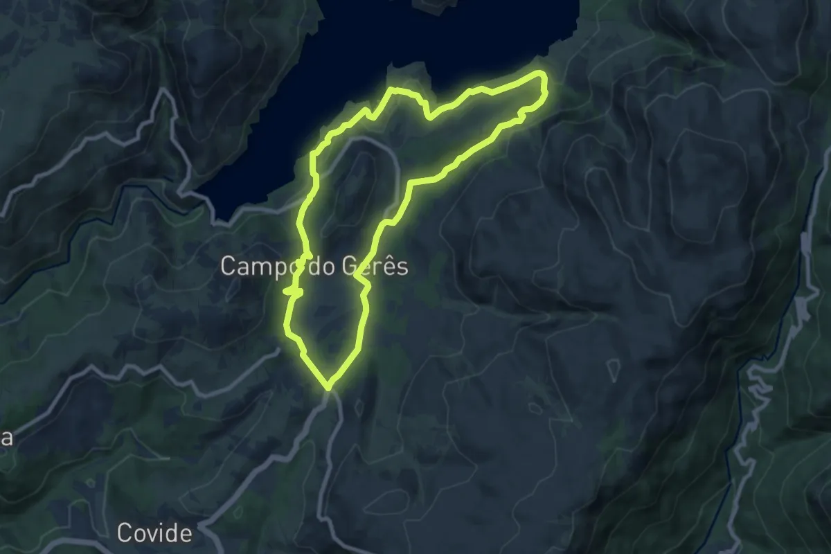
Medium · Trail
Trilho da Águia do Sarilhão
8.7 km · ↑ 379 m · 3 h · 14 km away
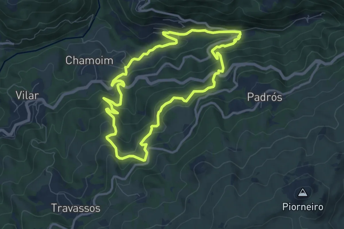
Medium · Trail
Trilho dos Moinhos e Regadios
8.1 km · ↑ 517 m · 3 h 9 min · 15 km away
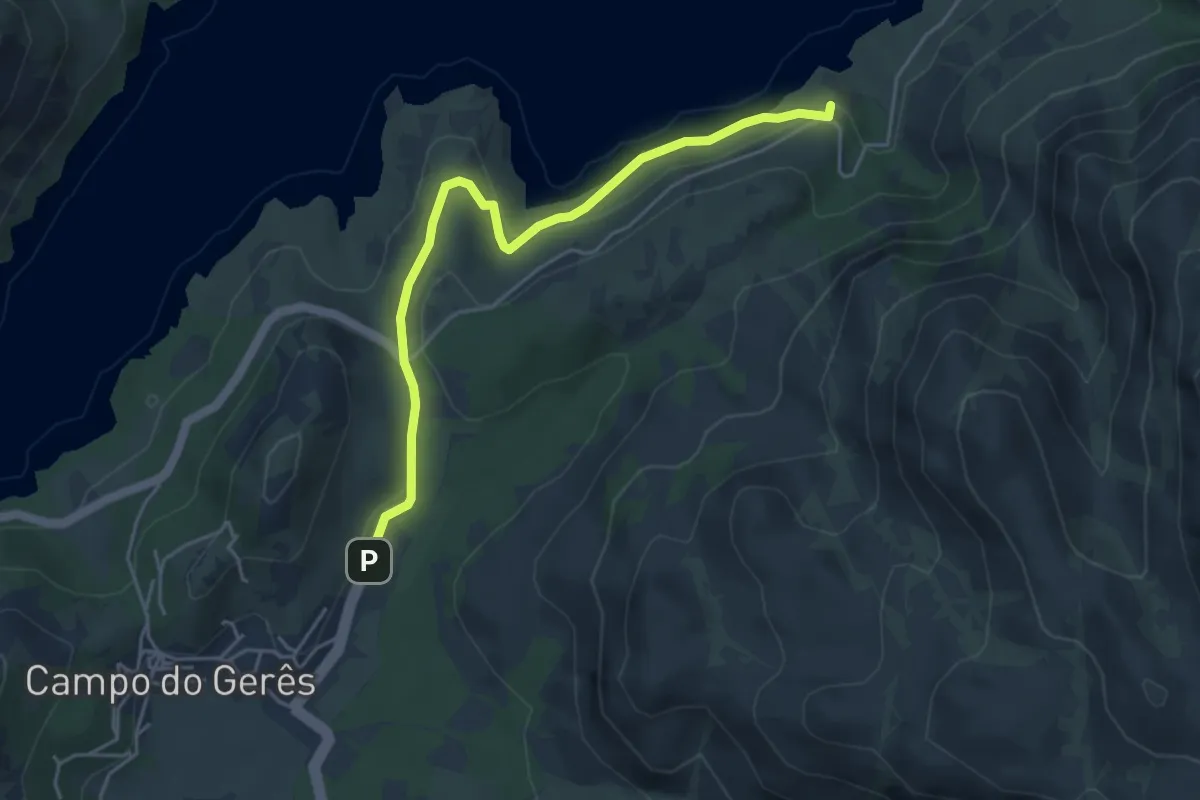
Easy · Trail
Via Nova
5.1 km · ↑ 242 m · 1 h 43 min · 15 km away