Trails near Vila Real
16 hikes starting within 15 km, nearest first.
Nearest first
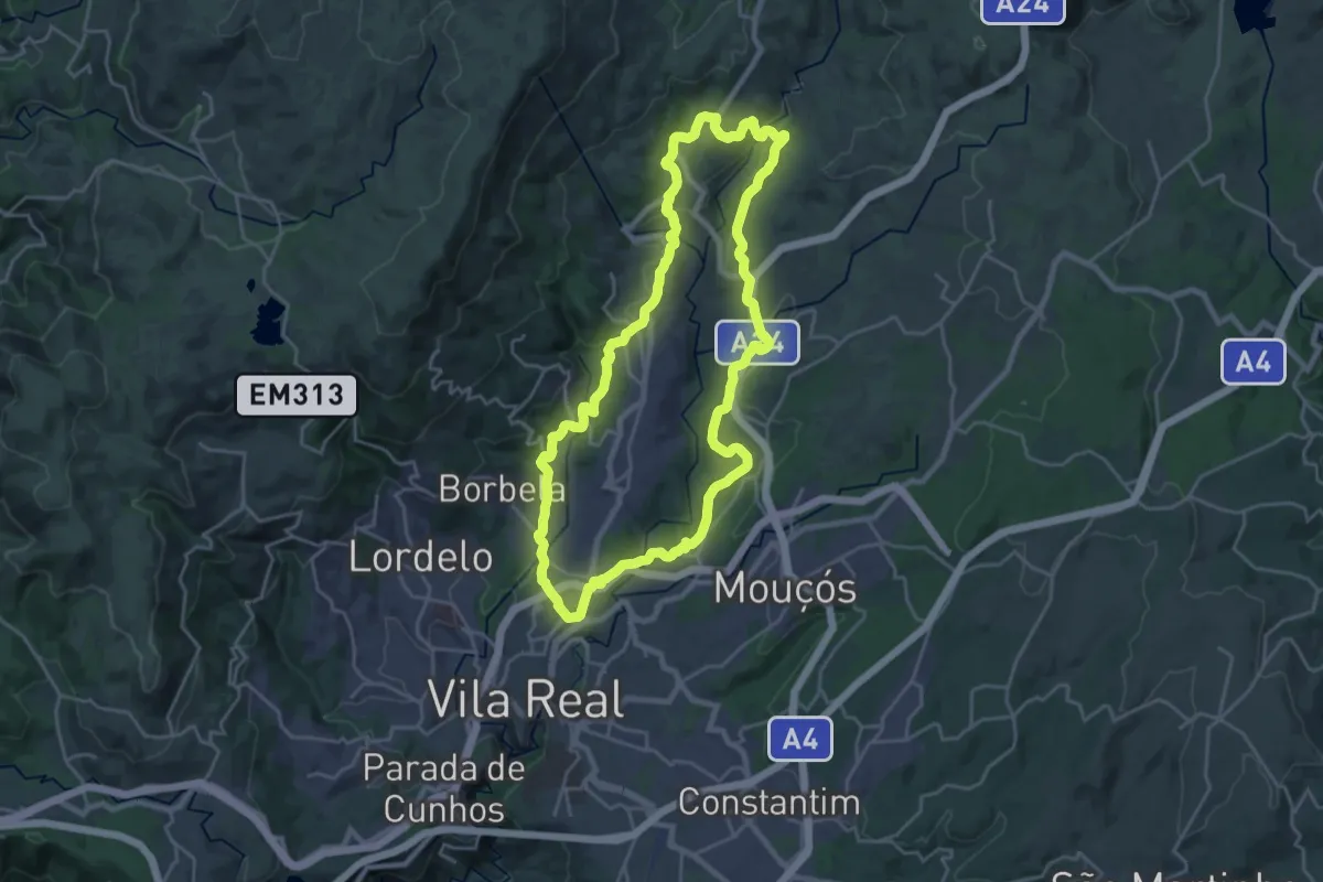
Demanding · Trail
PR2VRL - Percurso Pedestre do Corgo Norte
24.2 km · ↑ 581 m · 7 h 19 min · 2 km away
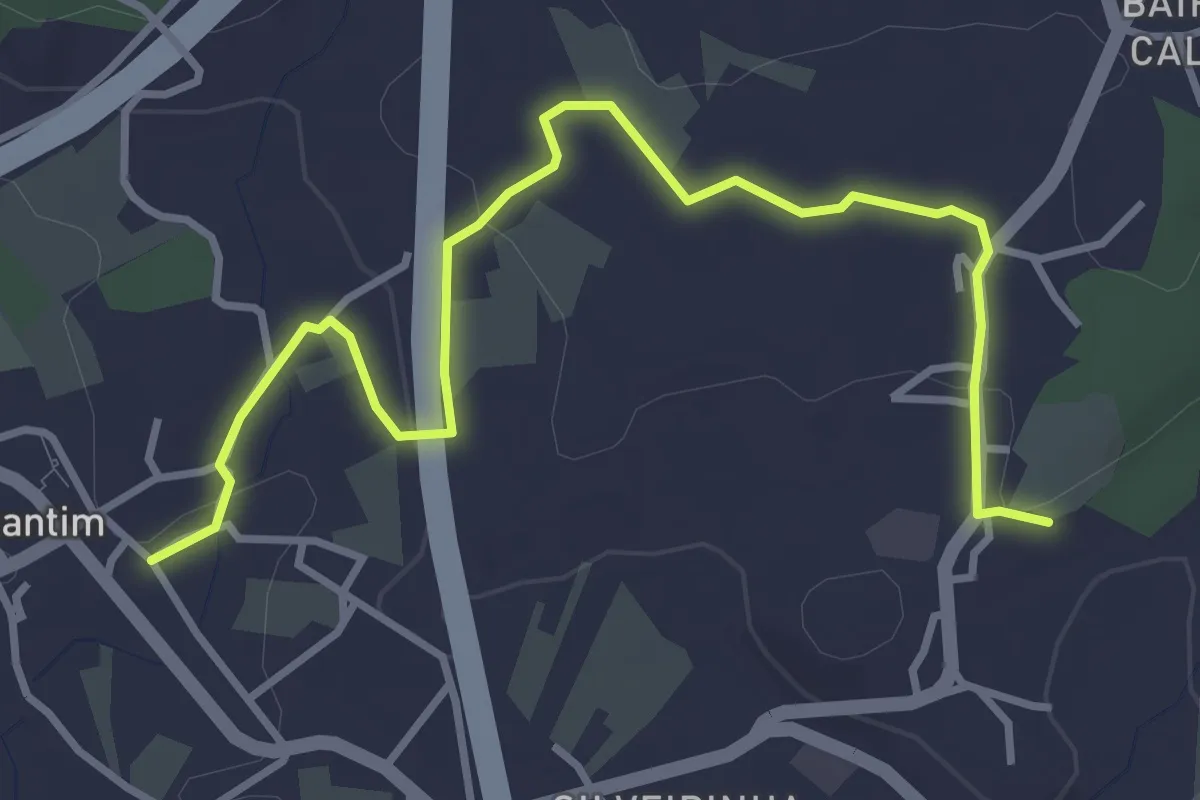
Easy · Trail
Circuito de Constantim
2.3 km · ↑ 54 m · 40 min · 4 km away
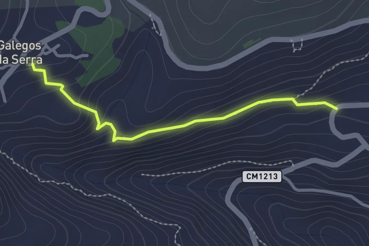
Easy · Trail
Calçada de Galegos da Serra
2.4 km · ↑ 136 m · 52 min · 5 km away
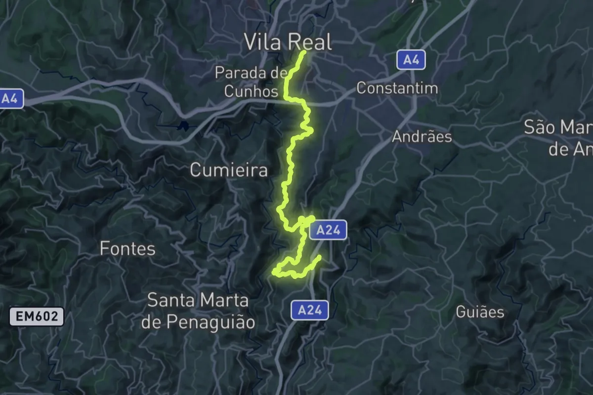
Medium · Trail
PR3VRL - Percurso Pedestre do Douro Vinhateiro I
16.0 km · ↑ 615 m · 5 h 22 min · 8 km away
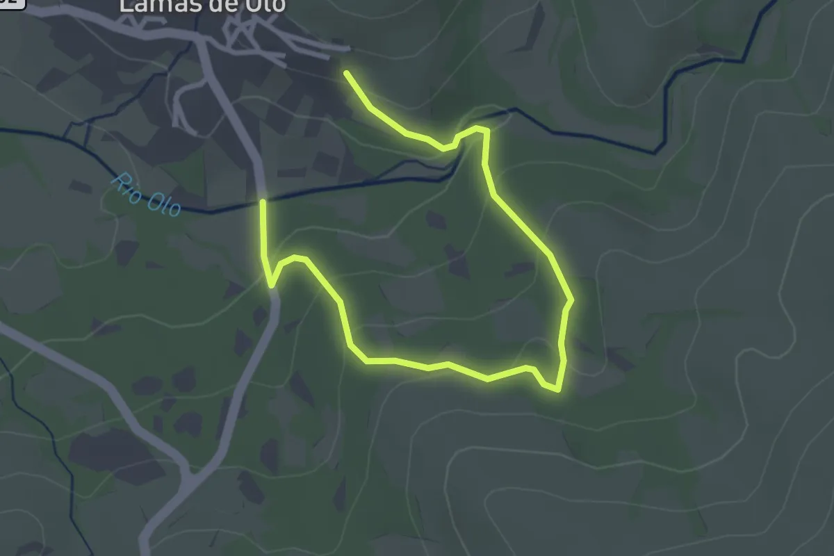
Easy · Trail
Estação da Biodiversidade de Lamas de Olo
4.0 km · ↑ 157 m · 1 h 16 min · 9 km away
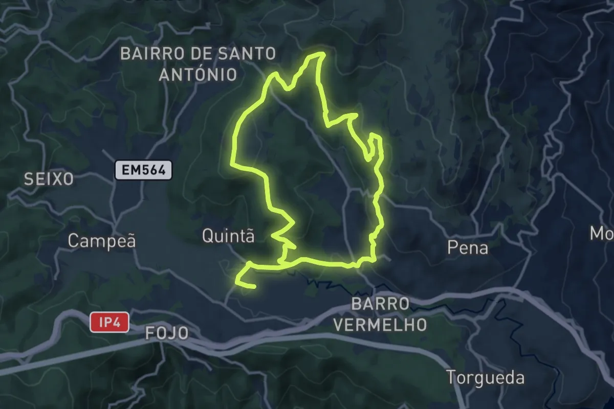
Medium · Trail
PR7VRL - Percurso Pedestre do Carvalhal de Gontães
12.3 km · ↑ 461 m · 4 h 4 min · 9 km away
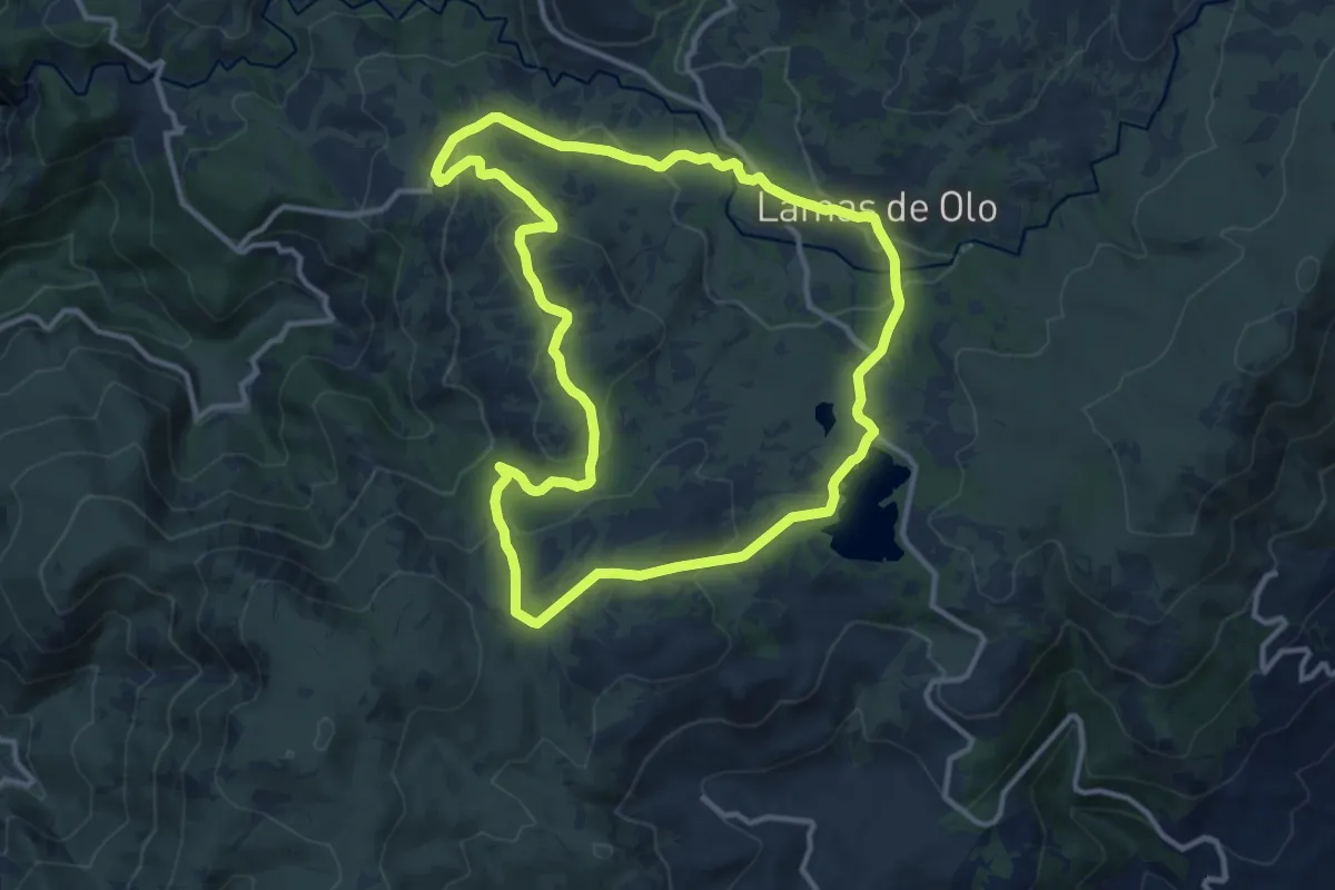
Medium · Trail
PR9VRLMDB - Percurso Pedestre do Alvão Barragens - Barreiro - Lamas de Olo
13.1 km · ↑ 358 m · 4 h 3 min · 9 km away
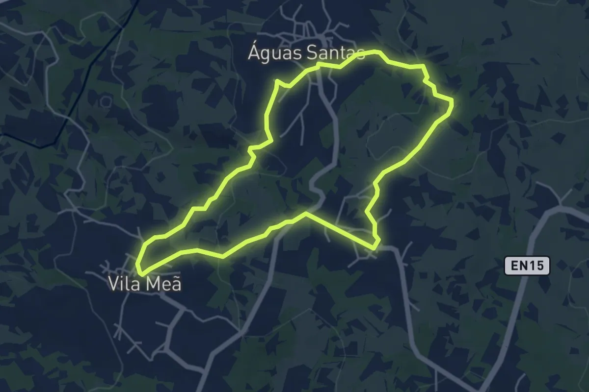
Easy · Trail
Circuito das Três Aldeias
4.7 km · ↑ 83 m · 1 h 22 min · 10 km away
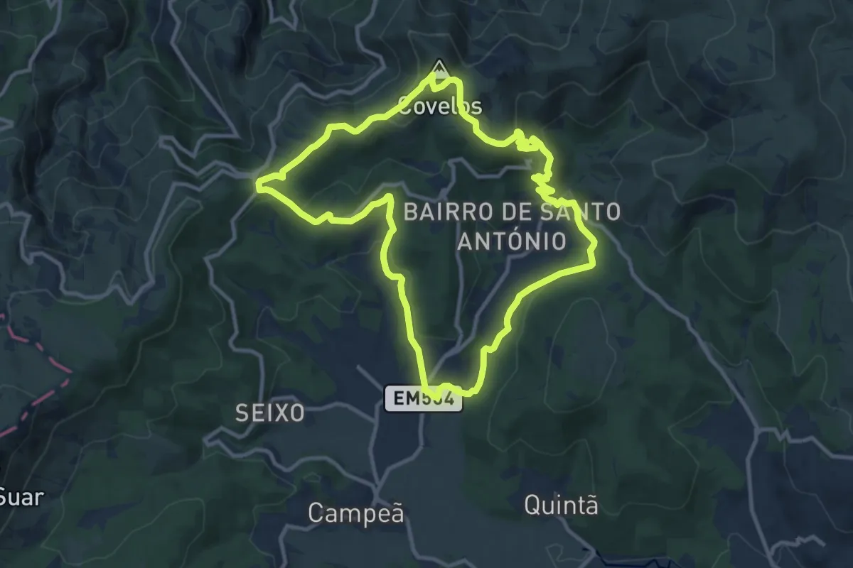
Medium · Summit
PR8VRL - Percurso Pedestre do Mineiro
11.2 km · ↑ 397 m · 3 h 39 min · 10 km away
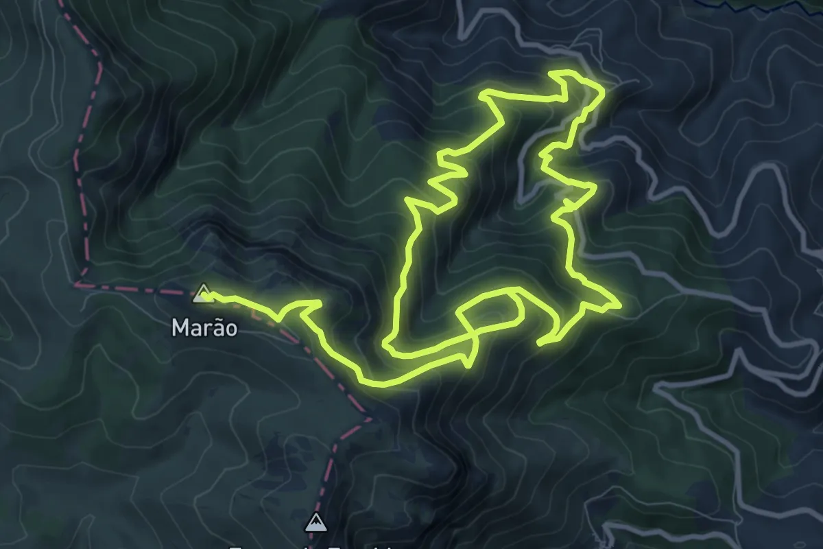
Demanding · Summit
Trilho da Senhora da Serra
20.9 km · ↑ 1617 m · 8 h 27 min · 11 km away
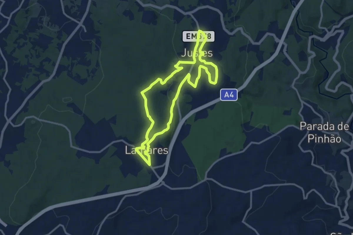
Medium · Trail
PR11VRL - Terras de Maria Boa: do Neolítico aos Dias de Hoje
8.8 km · ↑ 162 m · 2 h 34 min · 12 km away
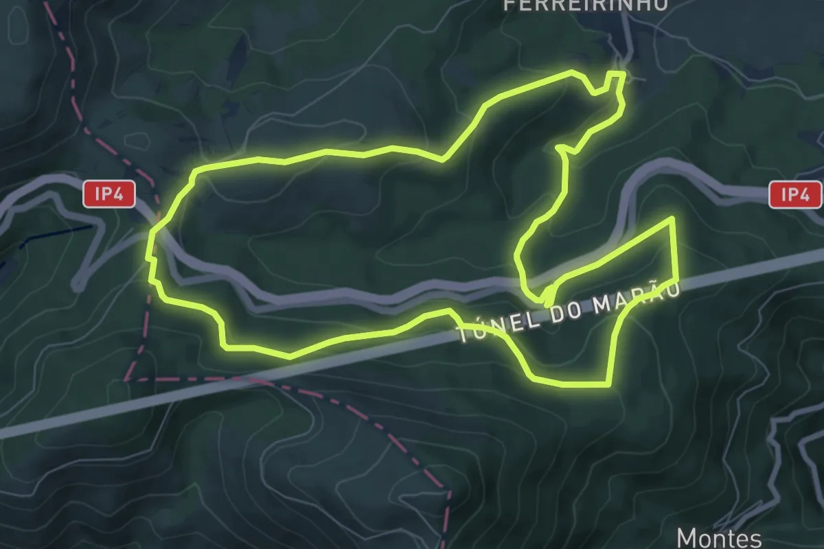
Medium · Trail
PR6VRL - Percurso Pedestre das Florestas do Marão
9.4 km · ↑ 406 m · 3 h 15 min · 12 km away
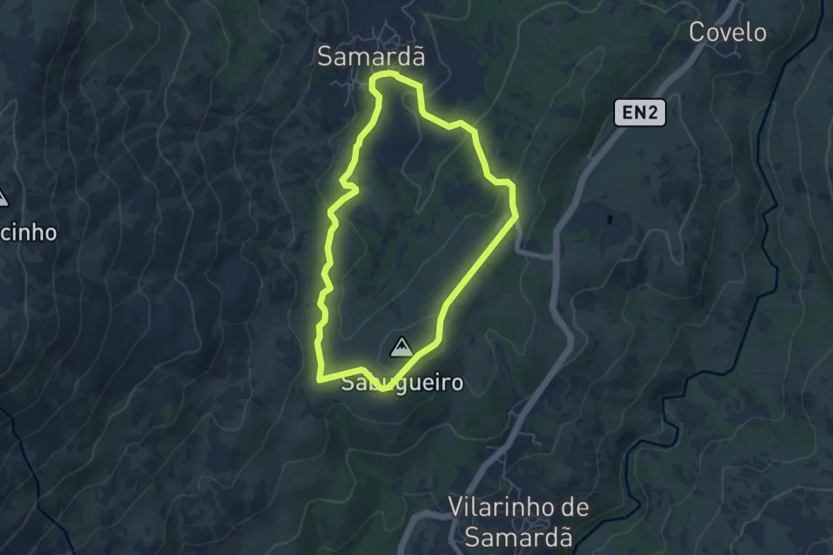
Easy · Summit
PR10VRL - Percurso Pedestre do Fojo do Lobo
5.6 km · ↑ 148 m · 1 h 43 min · 12 km away
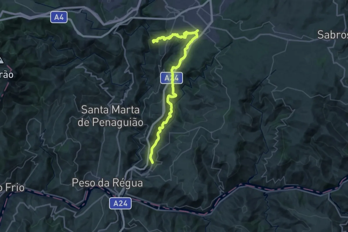
Demanding · Trail
Percurso pedestre do Douro Vinhateiro III
18.6 km · ↑ 676 m · 5 h 59 min · 13 km away
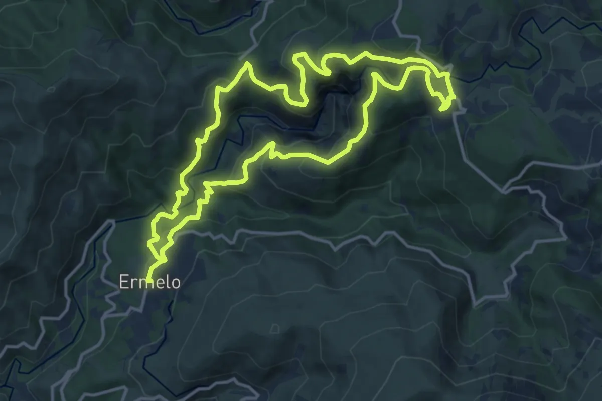
Medium · Trail
Fisgas de Ermelo
12.2 km · ↑ 647 m · 4 h 28 min · 14 km away
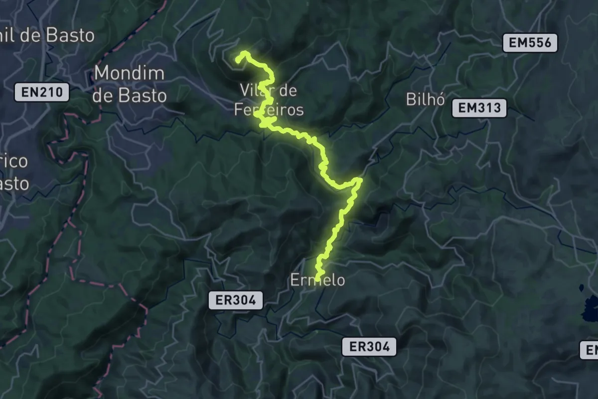
Demanding · Summit
Caminhos da Senhora da Graça: Ermelo - Senhora da Graça
27.9 km · ↑ 1540 m · 9 h 56 min · 14 km away