Trails in Portugal
1,161 hiking trails, each with its route, climb, walking time and grade.
All trails, page 19 of 25
Medium · Trail
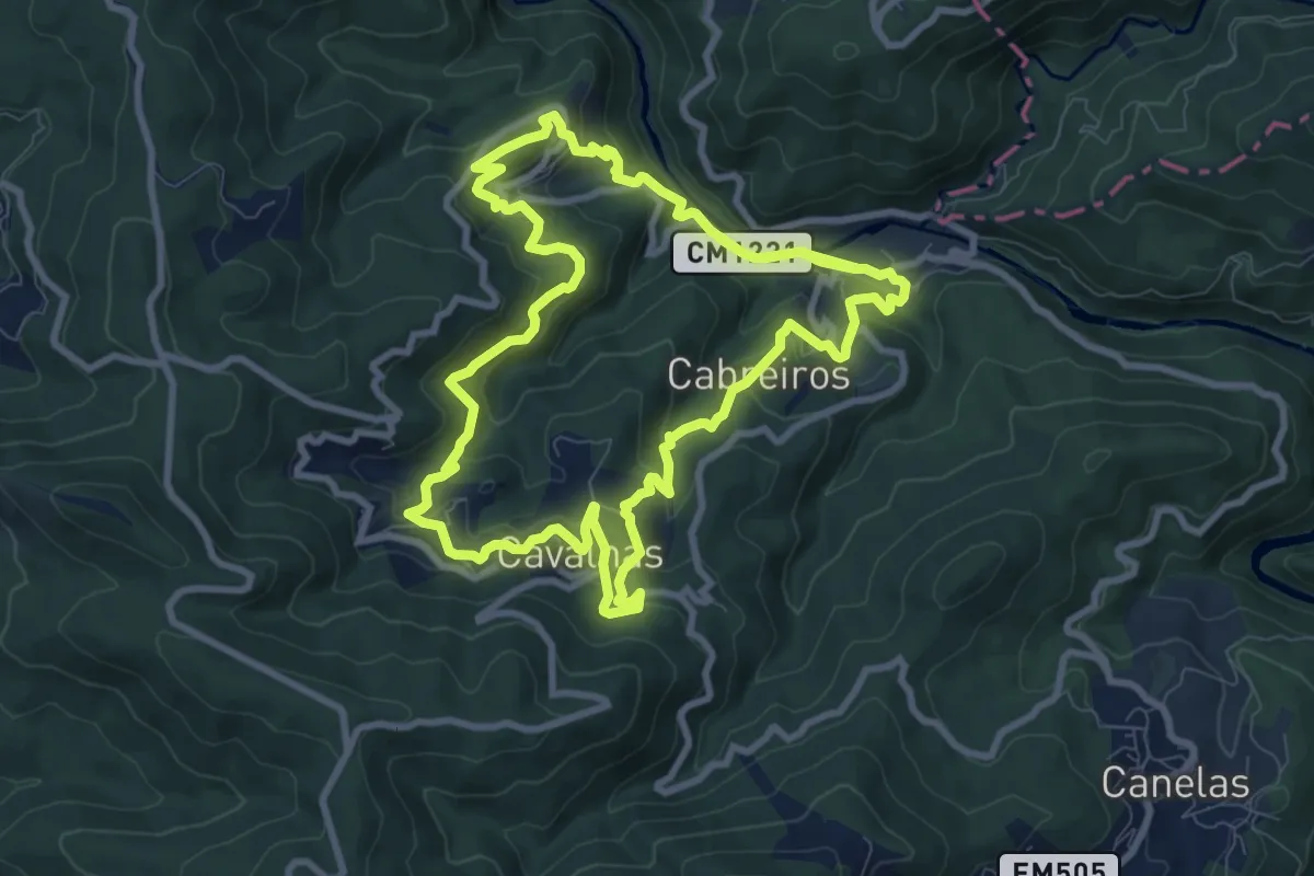
Rotas dos Aromas
10.6 km · ↑ 607 m · 3 h 58 min
Medium · Trail
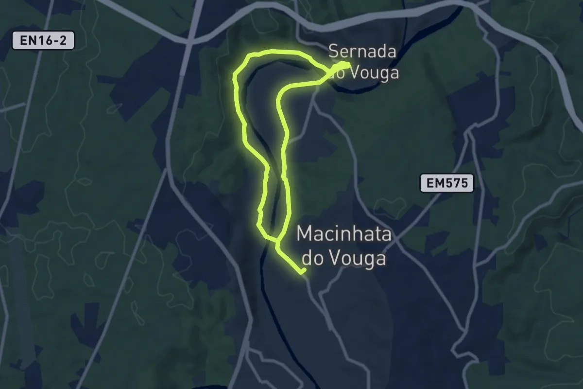
Rota Verde ferroviária
12.6 km · ↑ 133 m · 3 h 16 min
Demanding · Trail
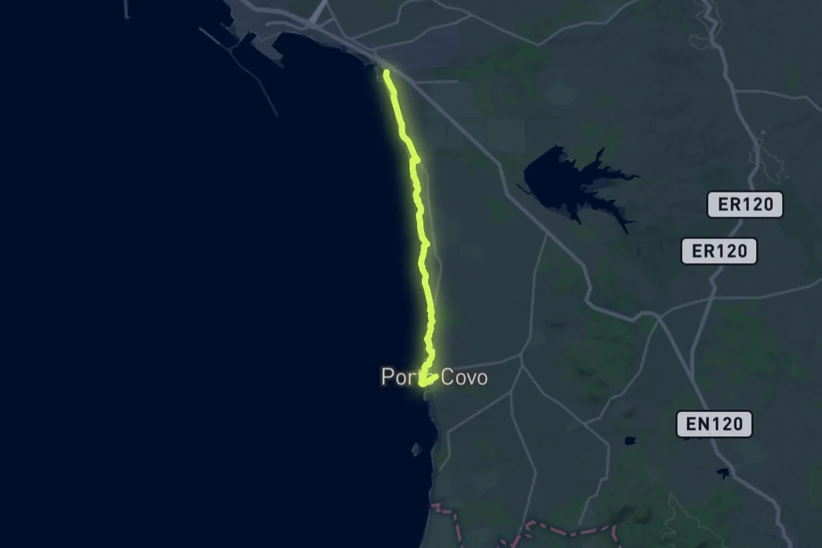
Rota Vicentina - Trilho dos Pescadores - 1
20.4 km · ↑ 101 m · 5 h 2 min
Demanding · Trail
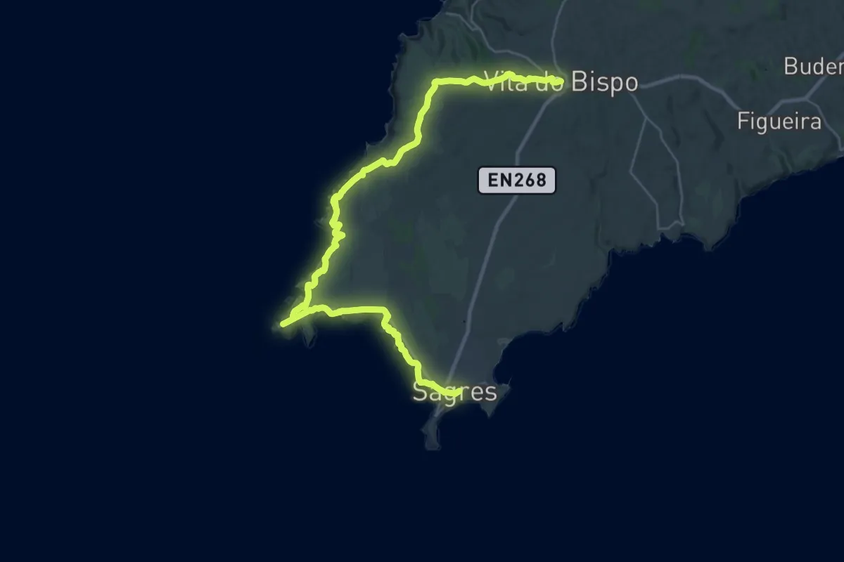
Rota Vicentina - Trilho dos Pescadores - 10
20.4 km · ↑ 336 m · 5 h 48 min
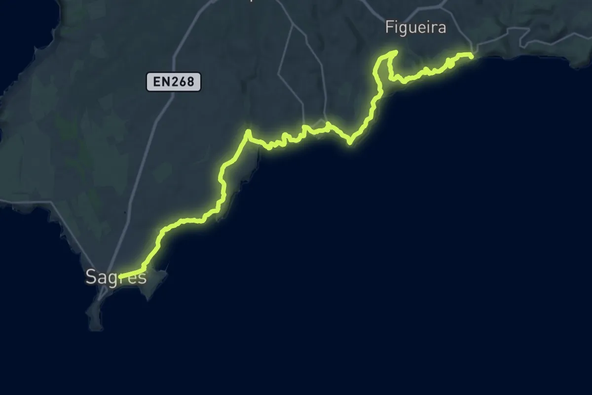
Expert · Trail
Rota Vicentina - Trilho dos Pescadores - 11
19.5 km · ↑ 406 m · 5 h 46 min
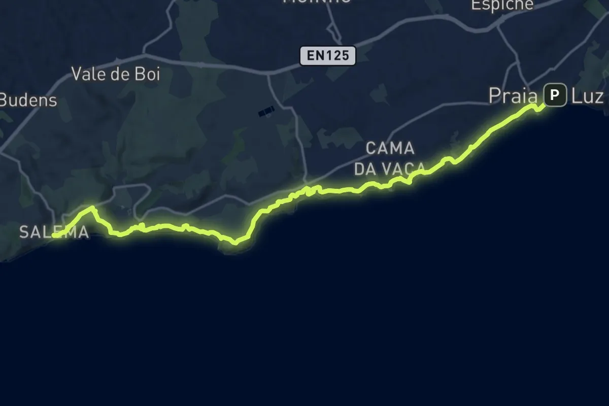
Demanding · Trail
Rota Vicentina - Trilho dos Pescadores - 12
22.8 km · ↑ 603 m · 6 h 41 min
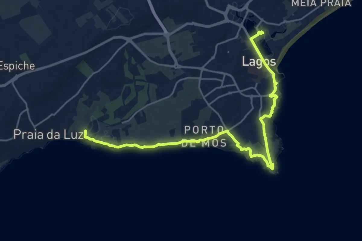
Demanding · Summit
Rota Vicentina - Trilho dos Pescadores - 13
19.3 km · ↑ 432 m · 5 h 29 min
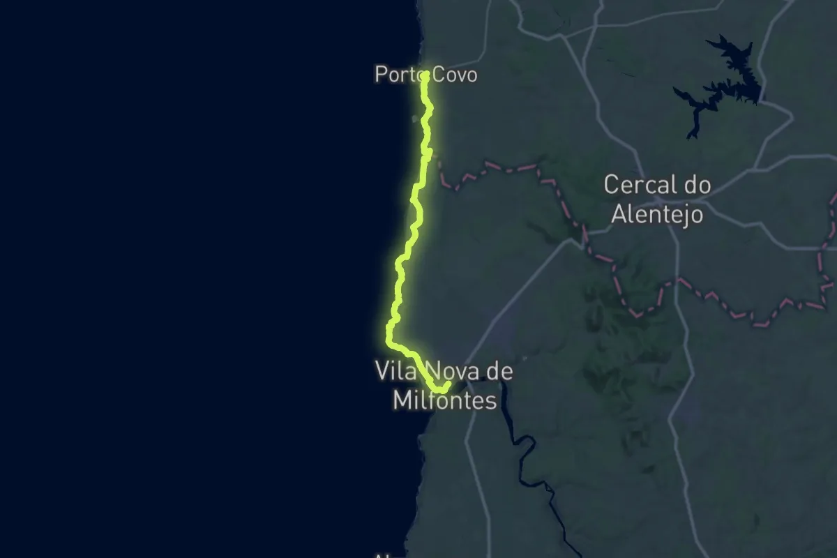
Demanding · Trail
Rota Vicentina - Trilho dos Pescadores - 2
19.4 km · ↑ 193 m · 5 h 16 min
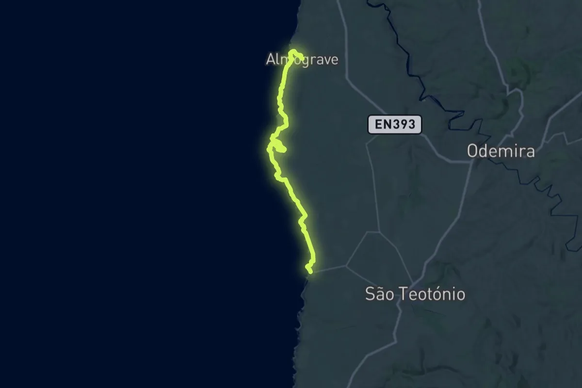
Demanding · Trail
Rota Vicentina - Trilho dos Pescadores - 4
21.6 km · ↑ 488 m · 6 h 27 min
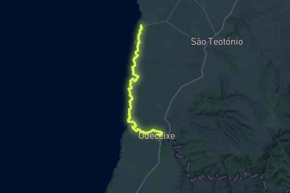
Demanding · Trail
Rota Vicentina - Trilho dos Pescadores - 5
18.0 km · ↑ 546 m · 5 h 41 min
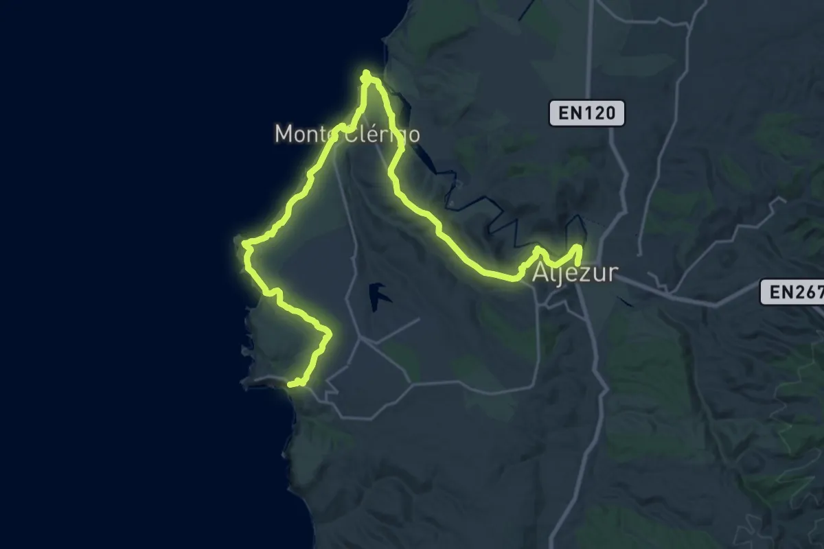
Medium · Trail
Rota Vicentina - Trilho dos Pescadores - 7
17.0 km · ↑ 440 m · 5 h 12 min
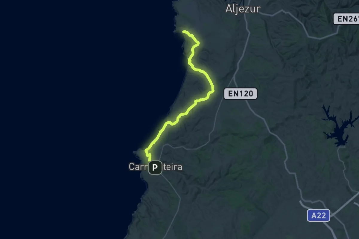
Demanding · Trail
Rota Vicentina - Trilho dos Pescadores - 8
19.5 km · ↑ 340 m · 5 h 36 min
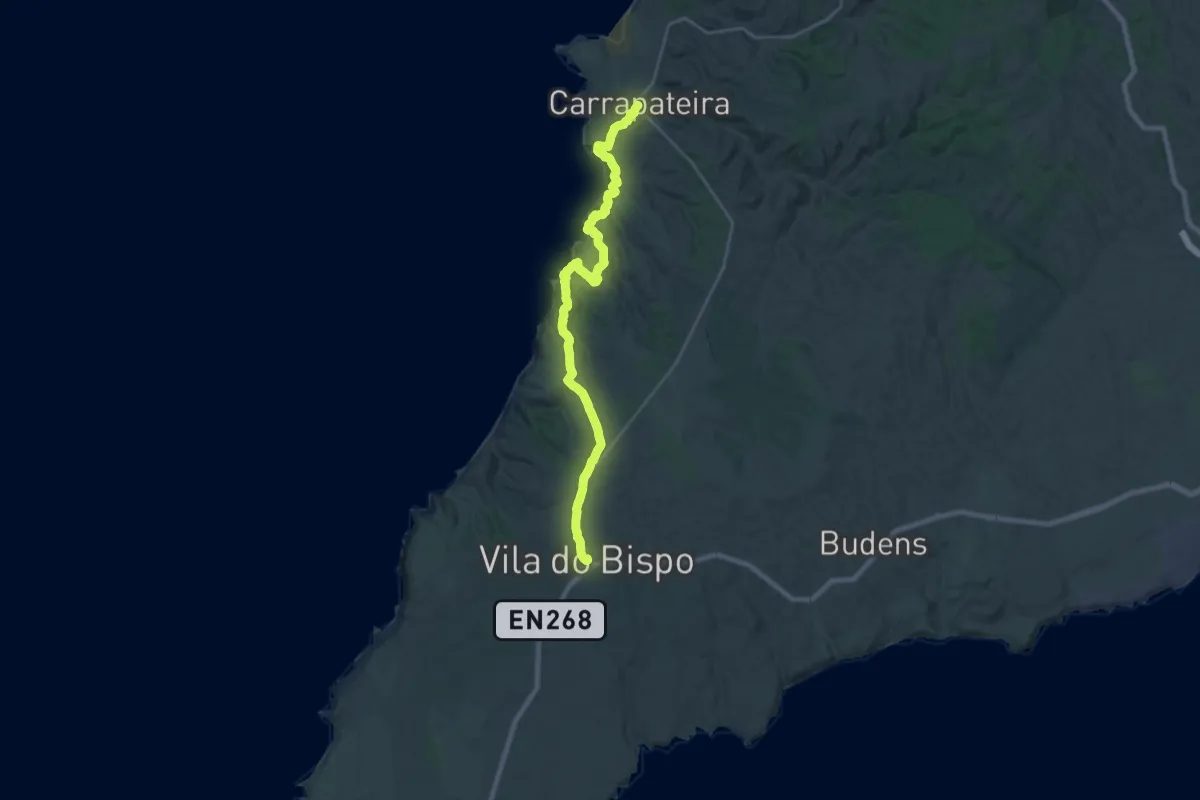
Demanding · Trail
Rota Vicentina - Trilho dos Pescadores - 9
15.2 km · ↑ 289 m · 4 h 27 min
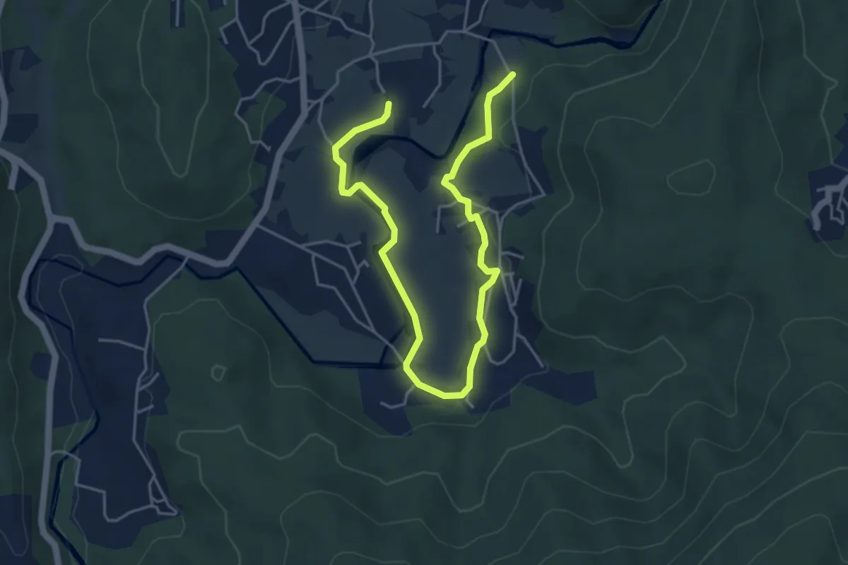
Easy · Trail
Roteiro Literário Ferreira de Castro
6.5 km · ↑ 146 m · 1 h 51 min
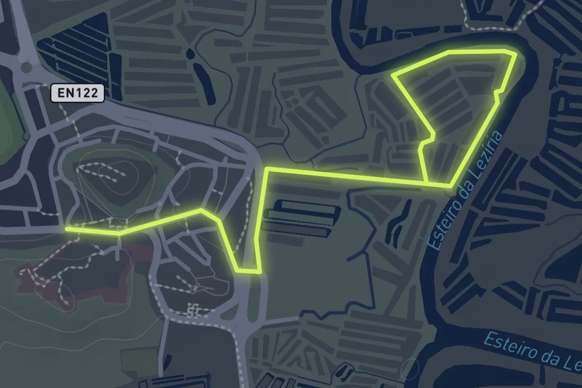
Easy · Trail
Salinas Tradicionais
4.5 km · ↑ 18 m · 1 h 6 min
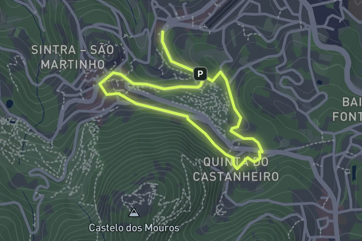
Easy · Trail
Santa Maria
2.1 km · ↑ 91 m · 44 min
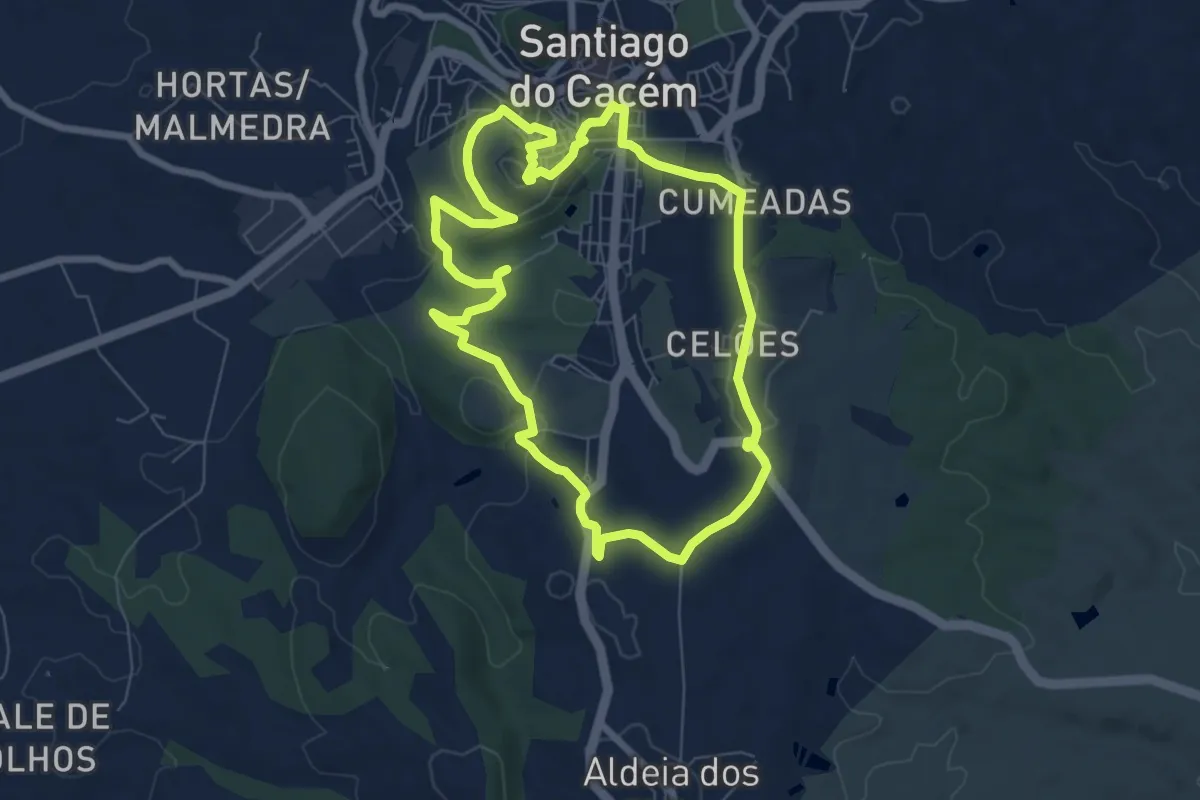
Medium · Summit
Santiago Histórico
8.1 km · ↑ 154 m · 2 h 22 min
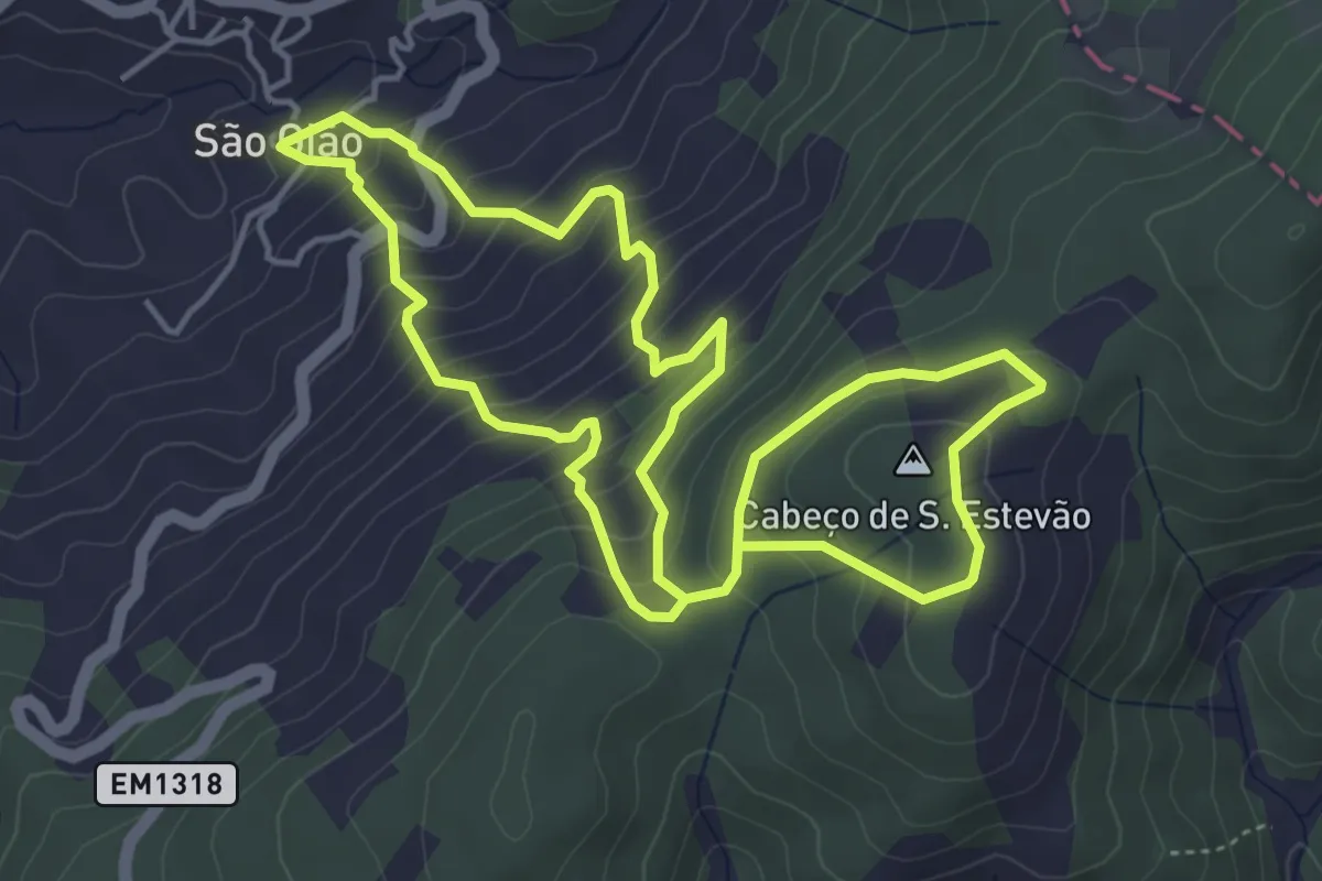
Medium · Summit
São Gião Cabeço de S. Estevão trail
5.1 km · ↑ 403 m · 2 h 8 min
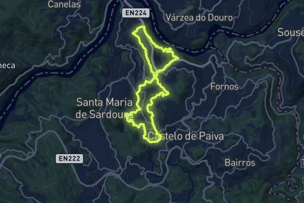
Medium · Trail
São Martinho
12.2 km · ↑ 489 m · 4 h 7 min
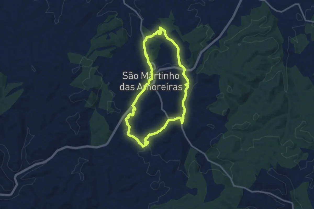
Medium · Trail
São Martinho das Amoreiras (curto)
8.3 km · ↑ 165 m · 2 h 26 min
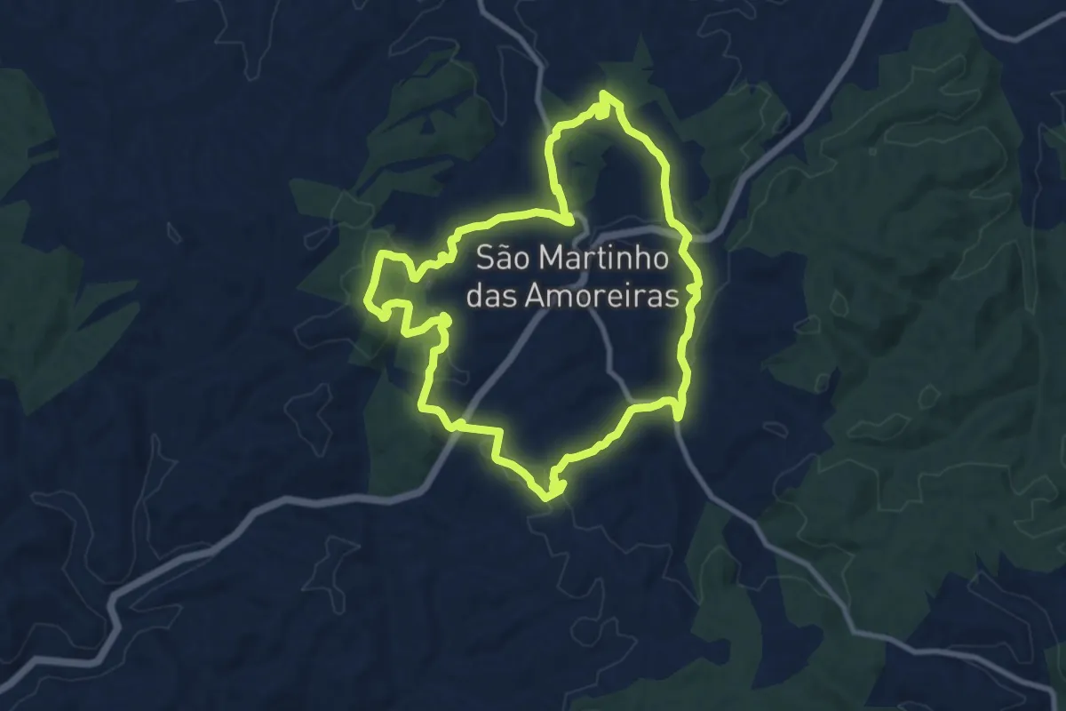
Medium · Summit
São Martinho das Amoreiras (longo)
10.8 km · ↑ 237 m · 3 h 13 min
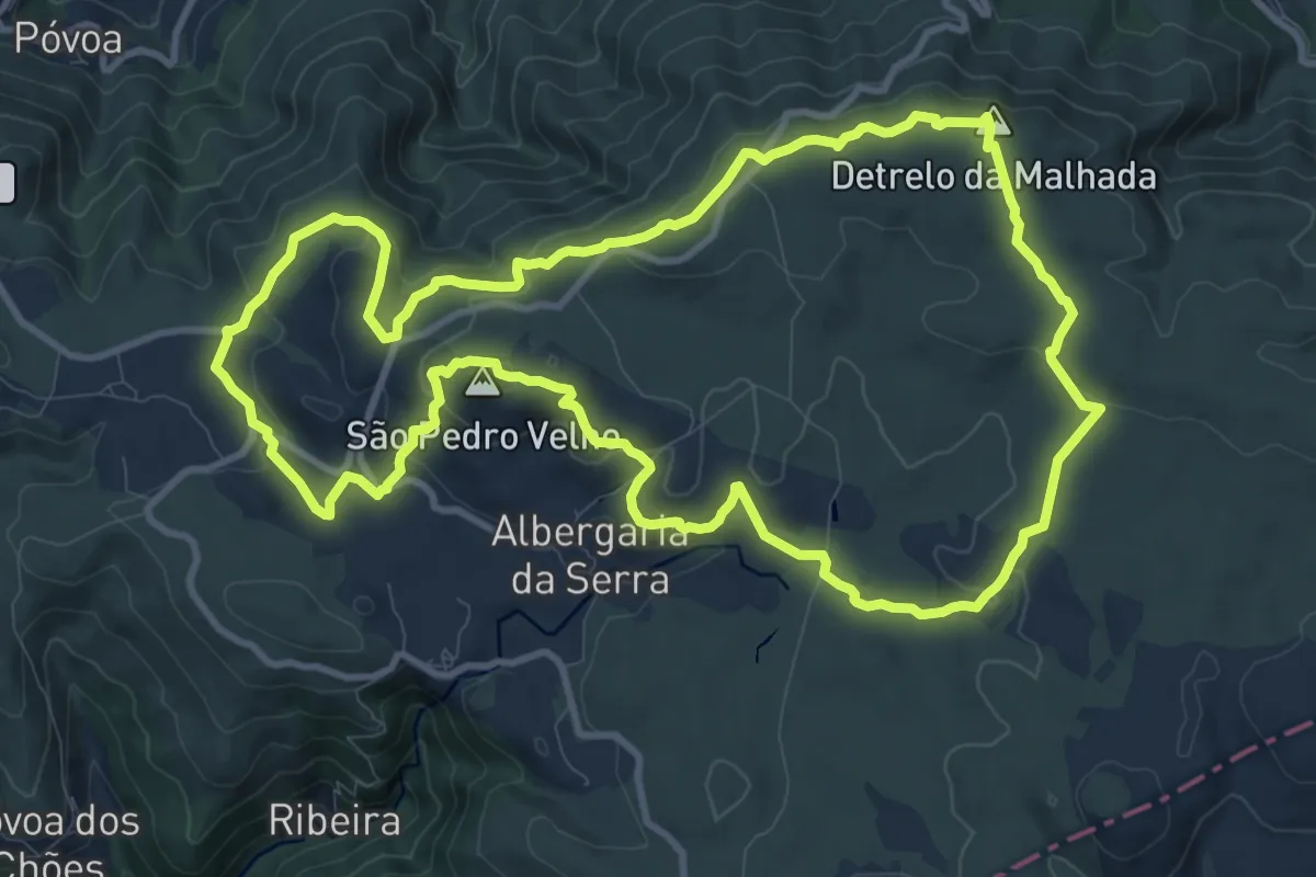
Demanding · Summit
São Pedro Velho
12.7 km · ↑ 383 m · 4 h
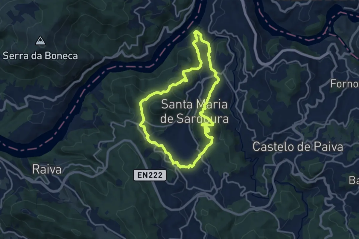
Medium · Summit
Sardoura
10.5 km · ↑ 421 m · 3 h 32 min
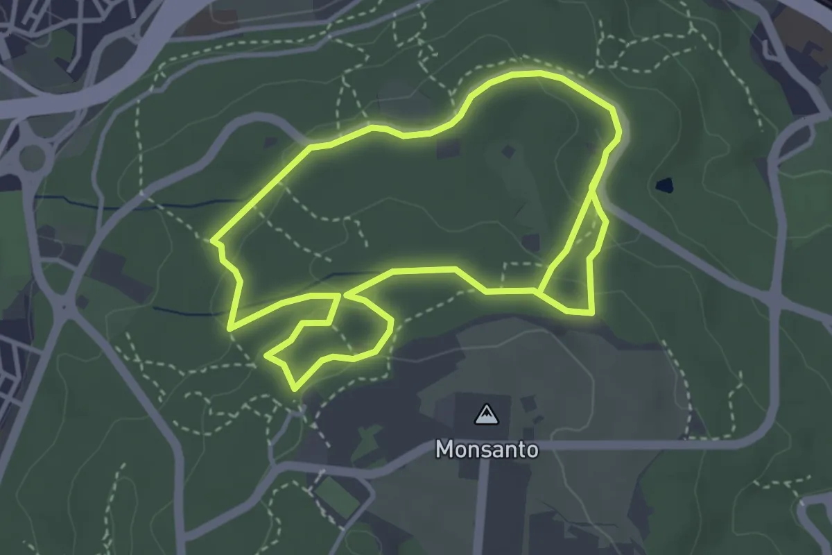
Medium · Trail
Seis Pedreiras
3.9 km · ↑ 75 m · 1 h 10 min
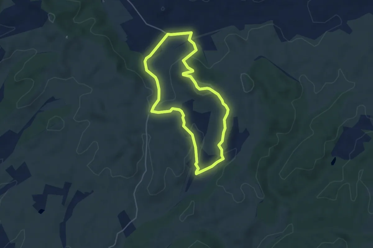
Easy · Summit
Senhora das Neves (curto)
4.5 km · ↑ 114 m · 1 h 22 min
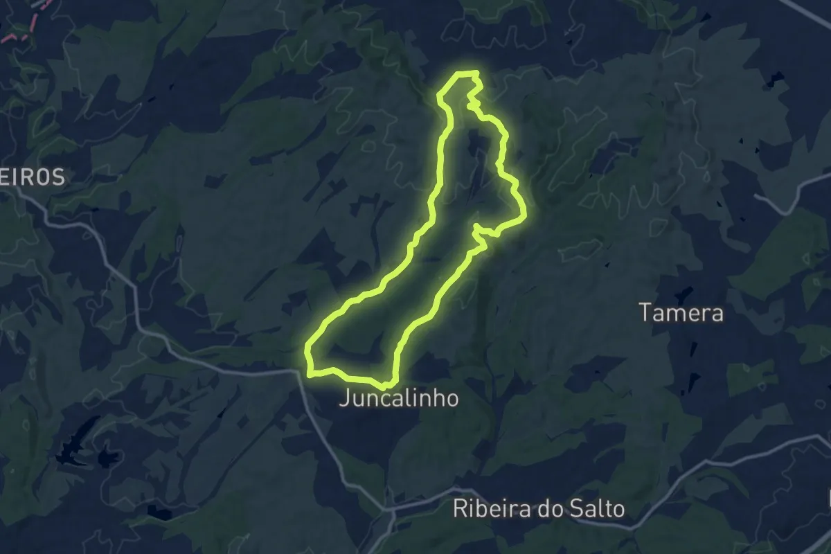
Medium · Summit
Senhora das Neves (longo)
12.5 km · ↑ 269 m · 3 h 42 min
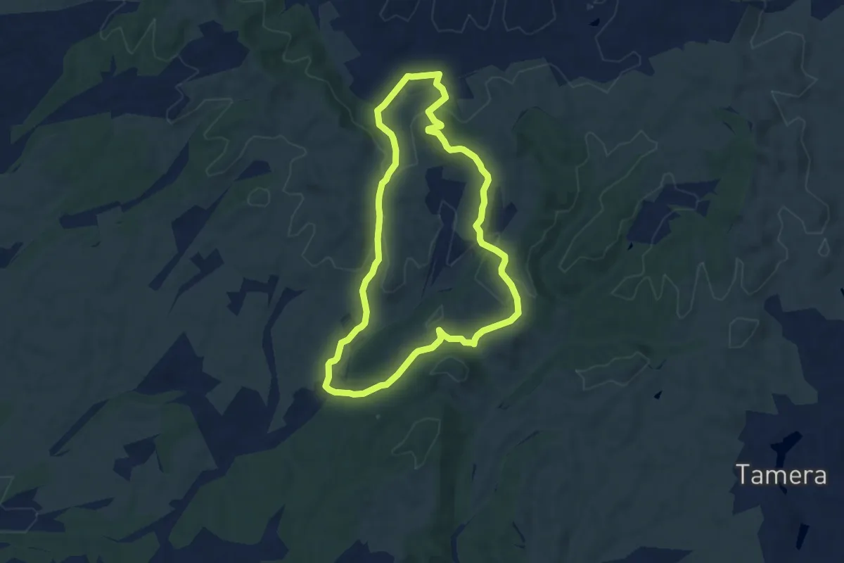
Easy · Summit
Senhora das Neves (médio)
7.6 km · ↑ 205 m · 2 h 20 min
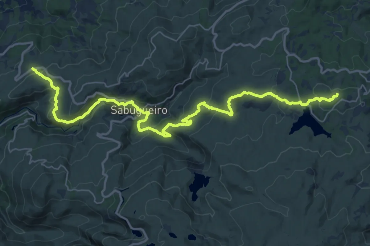
Demanding · Summit
Senhora do Espinheiro - Sabugueiro - Penhas Douradas
28.0 km · ↑ 860 m · 8 h 29 min
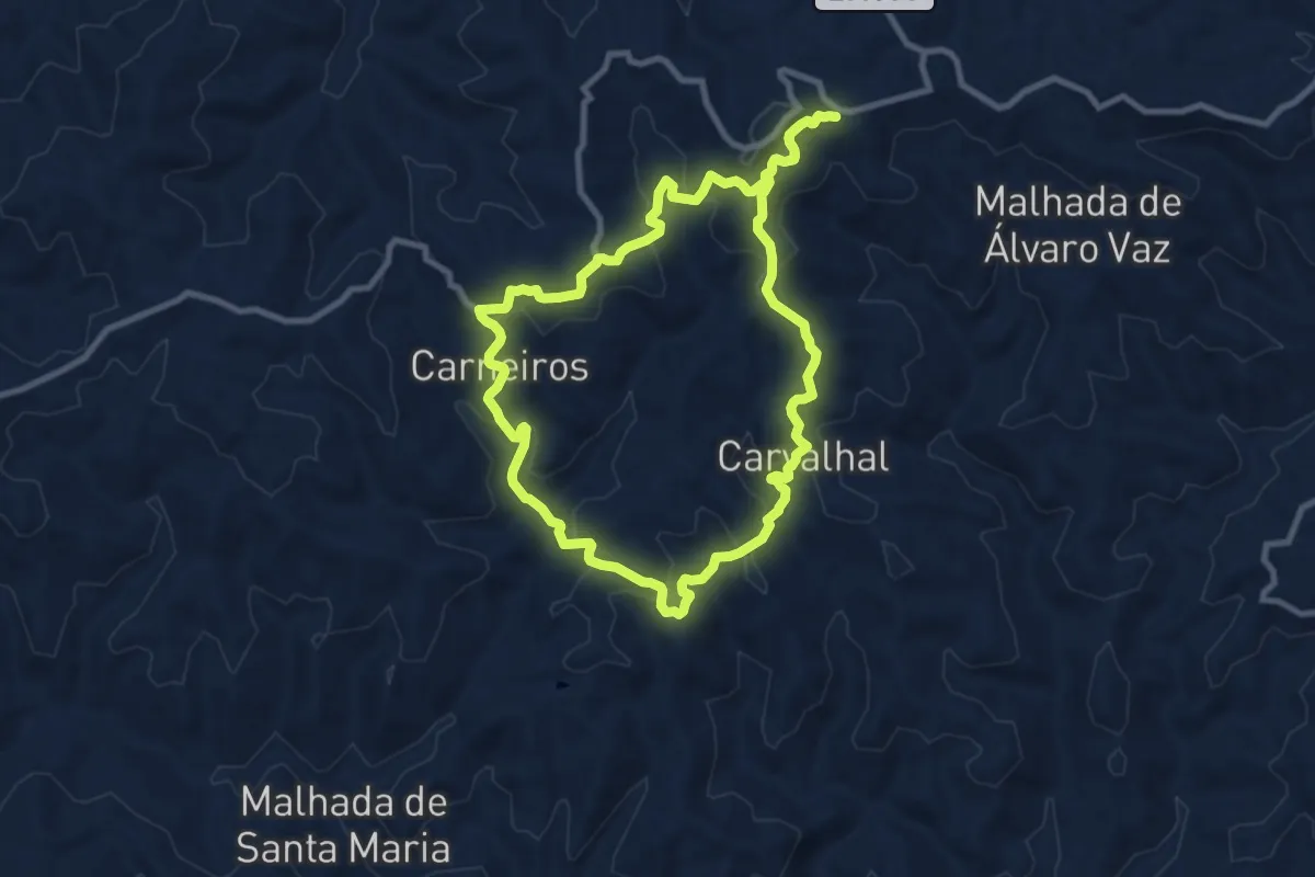
Medium · Trail
Serra de Alcaria do Cume
10.5 km · ↑ 456 m · 3 h 37 min
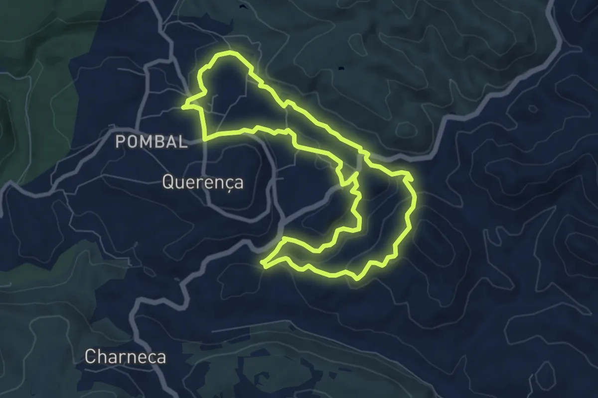
Medium · Trail
Serra e Montes
8.5 km · ↑ 245 m · 2 h 40 min
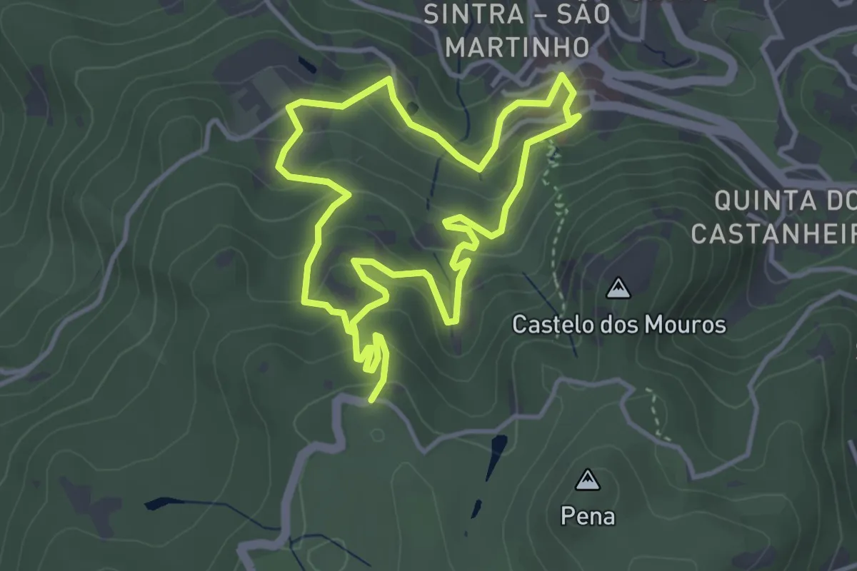
Easy · Trail
Seteais
3.8 km · ↑ 245 m · 1 h 28 min
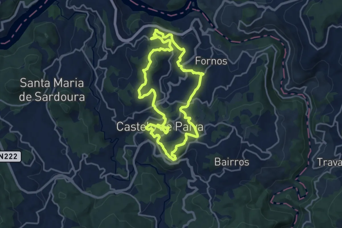
Medium · Trail
Sobrado
11.8 km · ↑ 481 m · 4 h
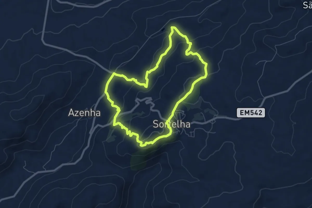
Easy · Trail
Sortelha
7.0 km · ↑ 278 m · 2 h 21 min
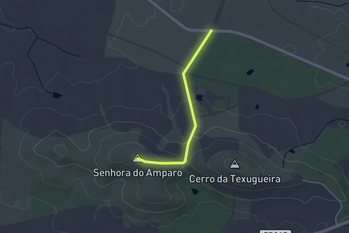
Easy · Summit
Subida à Senhora do Amparo
3.1 km · ↑ 89 m · 56 min
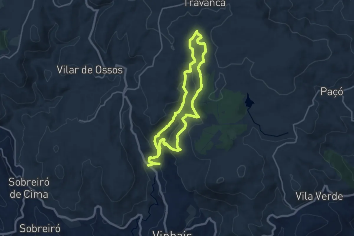
Demanding · Trail
Tapada d'ÀPonte
22.0 km · ↑ 813 m · 6 h 57 min
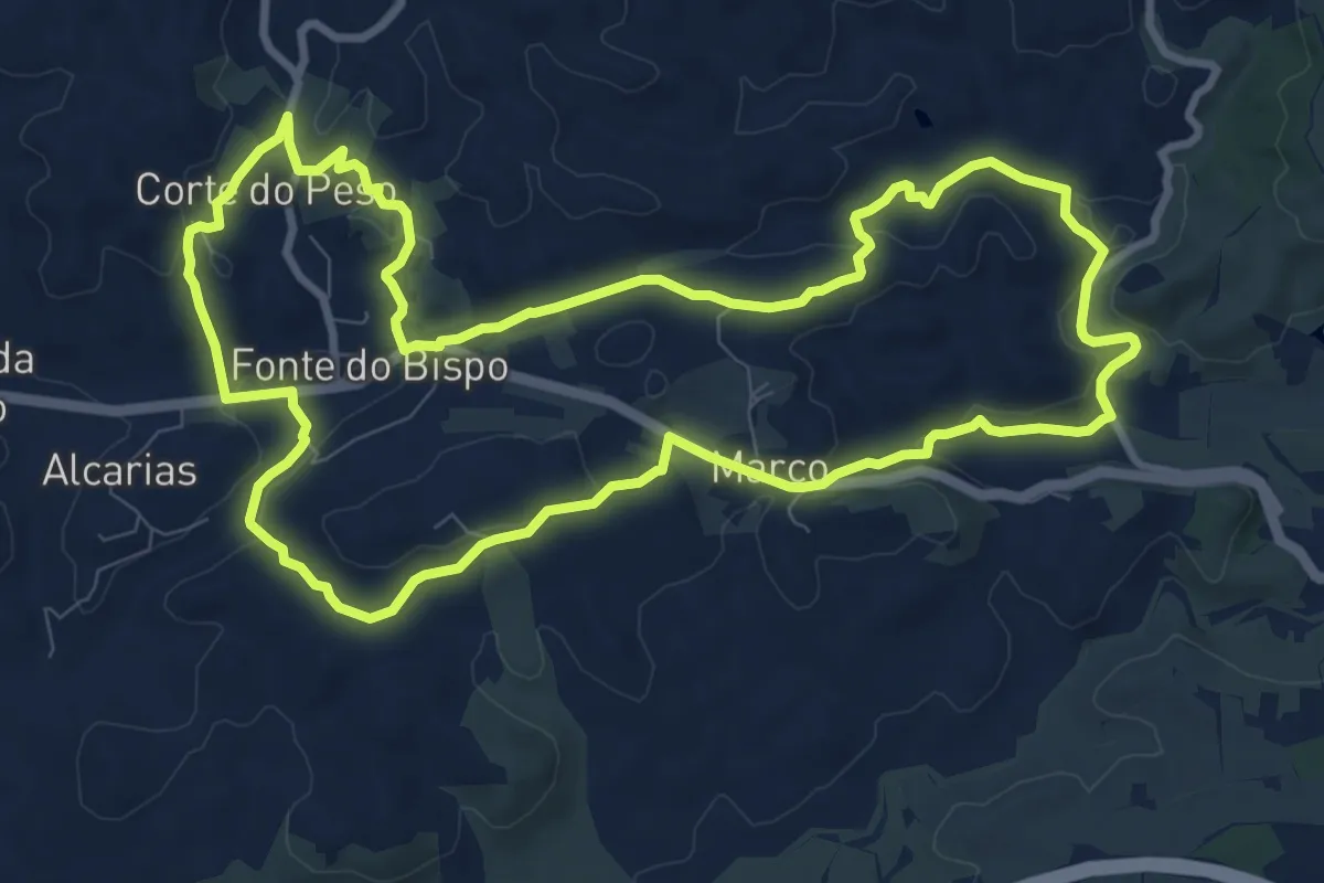
Medium · Trail
Telheiros do Barro
11.7 km · ↑ 247 m · 3 h 27 min
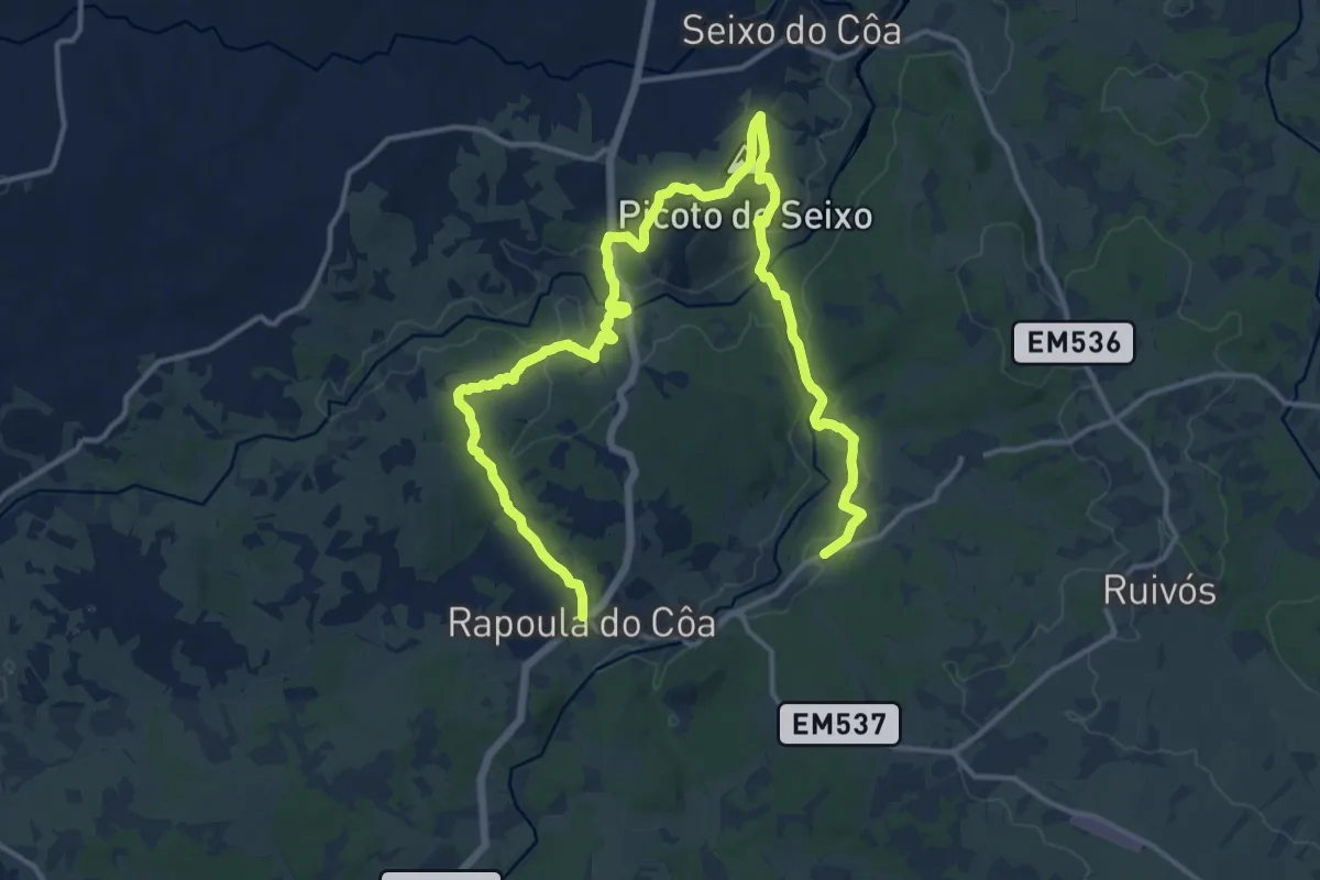
Medium · Summit
Termas do Cró
11.3 km · ↑ 190 m · 3 h 15 min
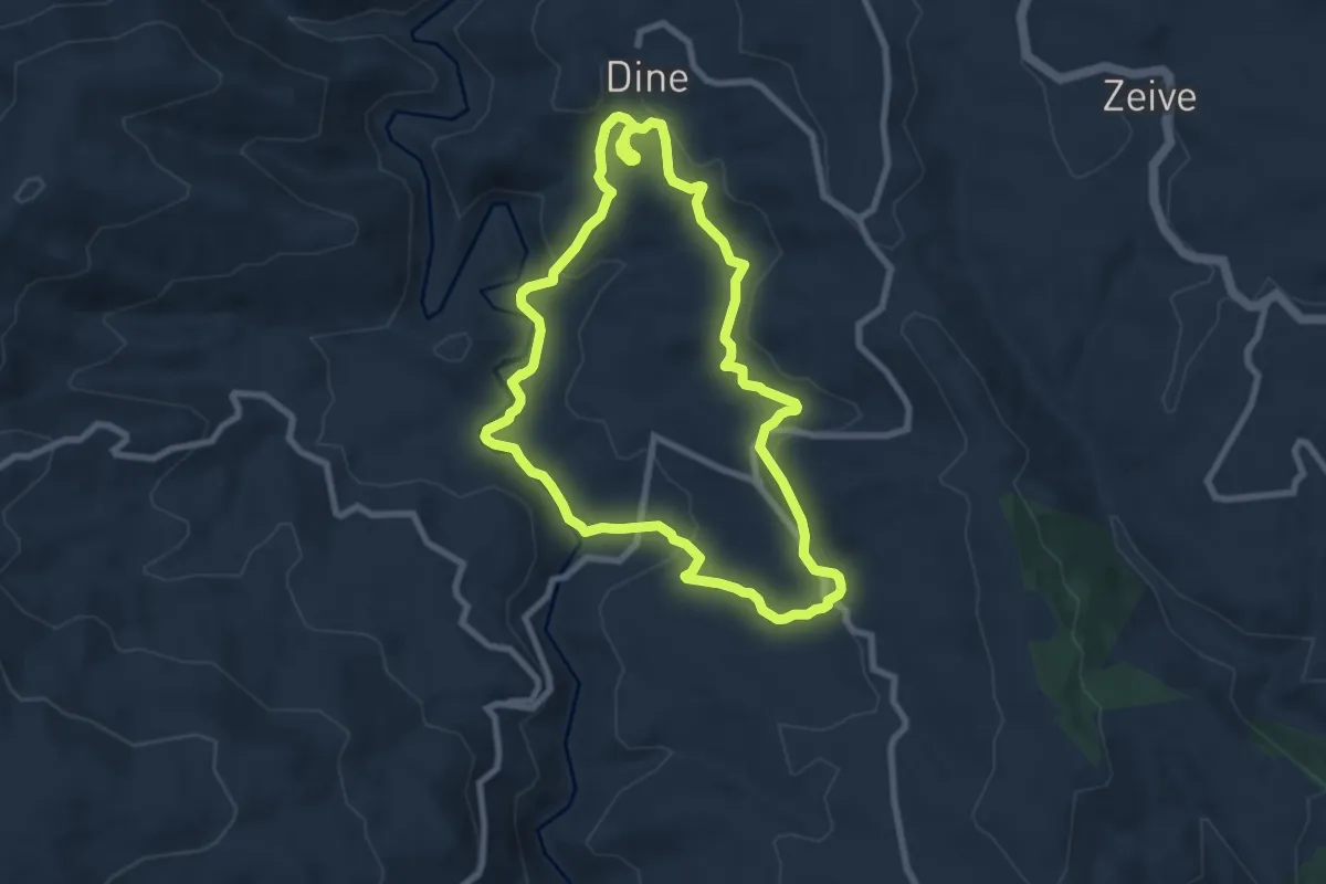
Medium · Trail
Termas do Tuela
8.4 km · ↑ 279 m · 2 h 42 min
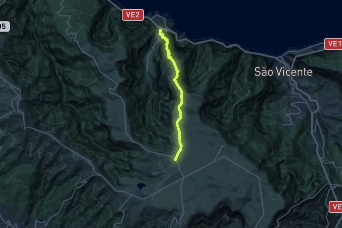
Demanding · Trail
Terra Chã
15.5 km · ↑ 1317 m · 6 h 30 min
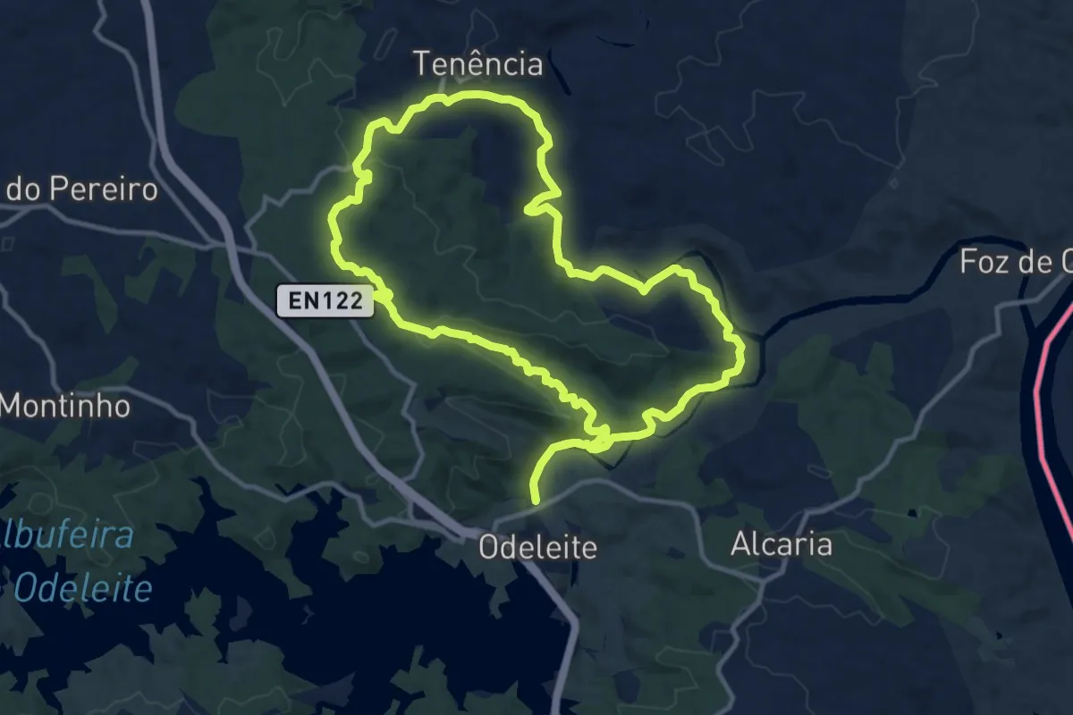
Medium · Trail
Terras da Ordem
13.1 km · ↑ 351 m · 4 h 2 min
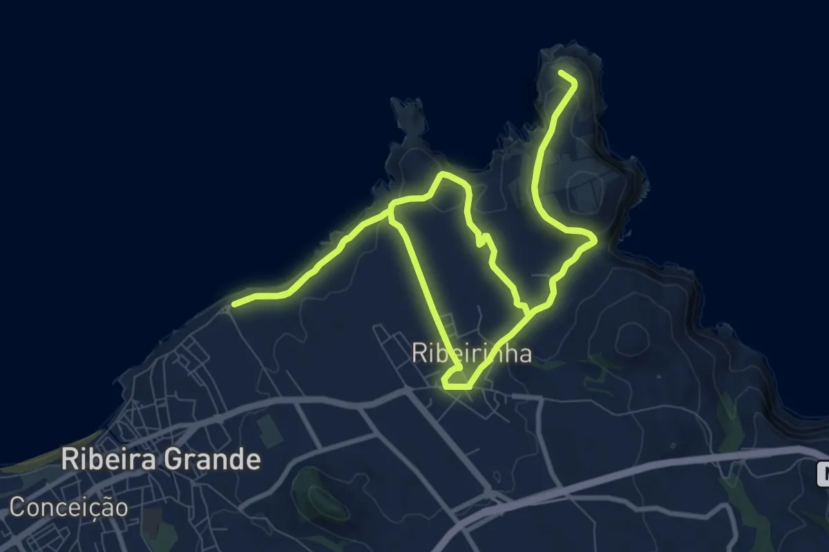
Medium · Trail
TM01 Ponta do Cintrão
10.9 km · ↑ 478 m · 3 h 45 min
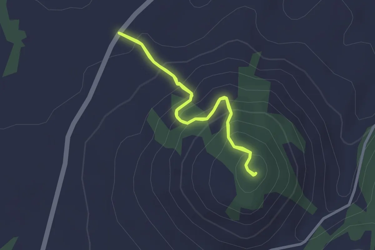
Easy · Trail
TM02 Pico Queimado
2.4 km · ↑ 208 m · 1 h 2 min
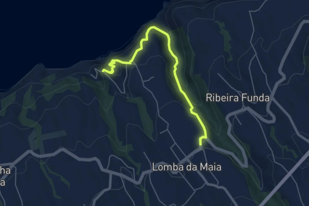
Medium · Trail
TM03 Barquinha
5.2 km · ↑ 798 m · 2 h 58 min
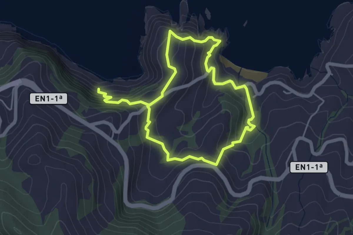
Medium · Trail
TM04 Ladeira da Velha
4.0 km · ↑ 501 m · 2 h 2 min
Easy · Trail
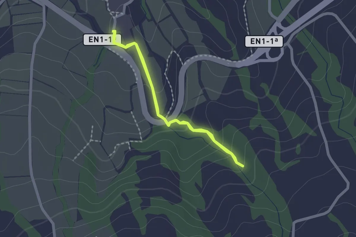
TM05 Caminho da Água da Gorreana
1.7 km · ↑ 76 m · 36 min
Easy · Trail
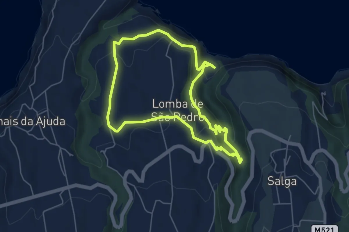
TM06 Moinho do Félix - Cascatas
5.1 km · ↑ 269 m · 1 h 53 min
Easy · Trail
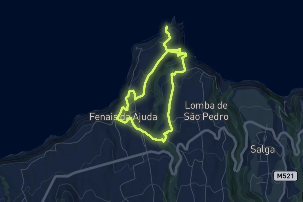
TM07 Fenais da Vera Cruz
6.3 km · ↑ 280 m · 2 h 13 min
Easy · Trail
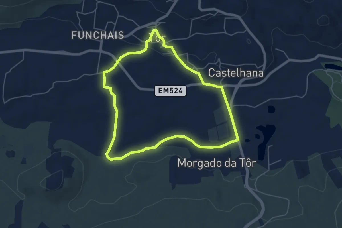
Tôr
5.2 km · ↑ 64 m · 1 h 27 min