Trails in Portugal
1,161 hiking trails, each with its route, climb, walking time and grade.
All trails, page 23 of 25
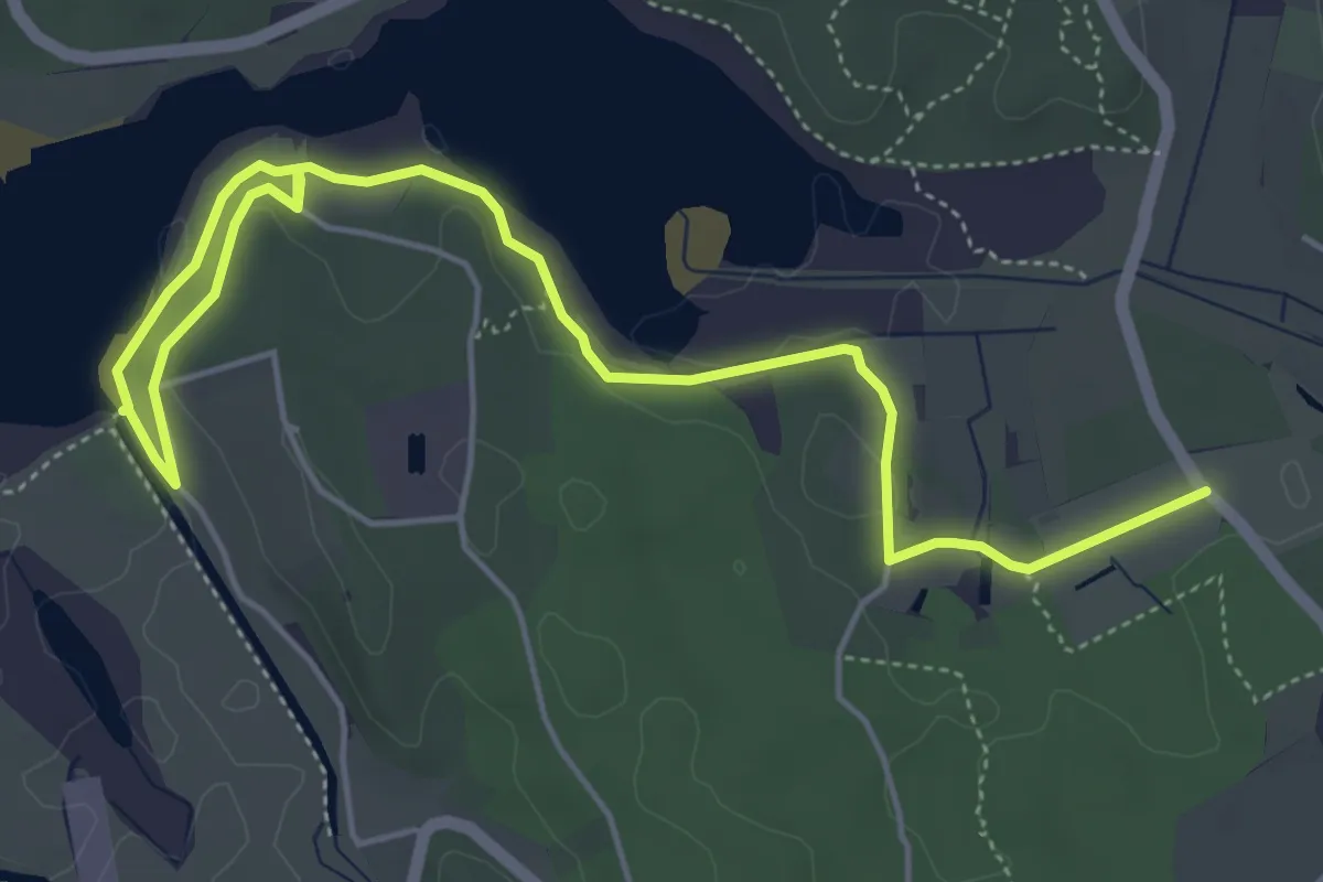
Medium · Trail
Trilho dos Patos Reais
7.5 km · ↑ 70 m · 1 h 55 min
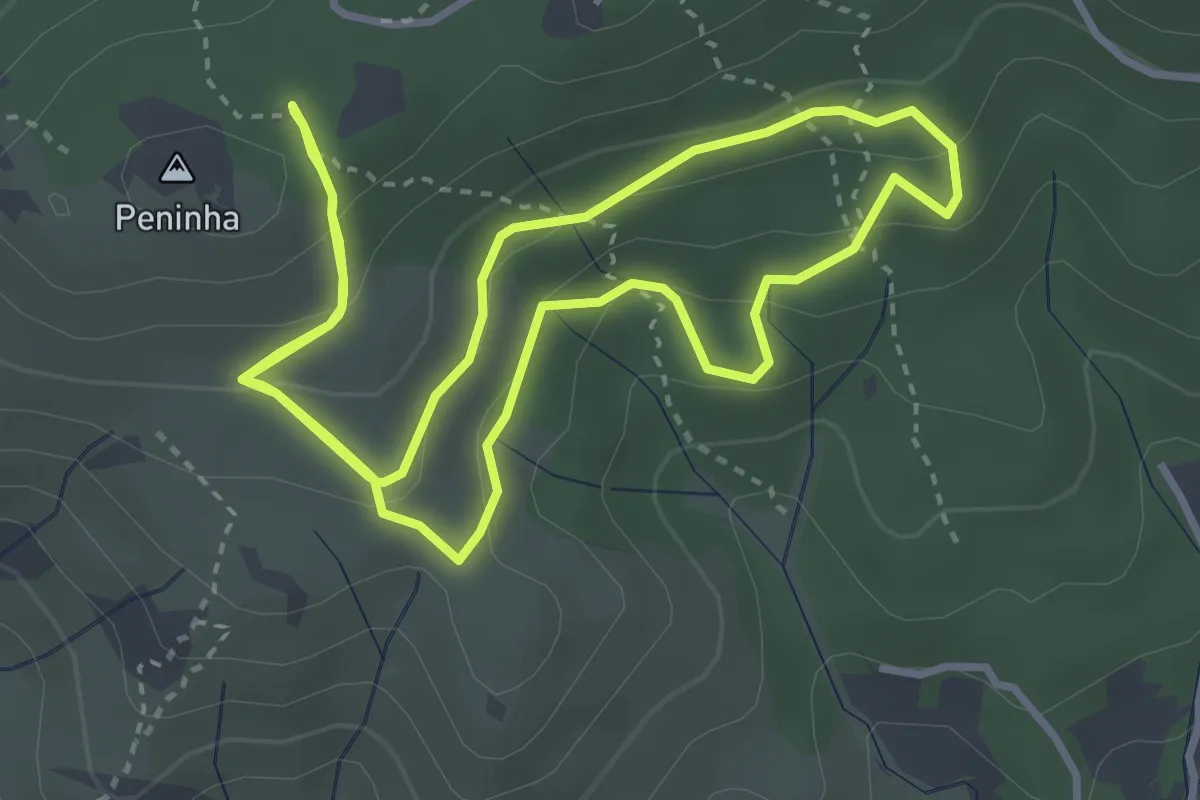
Easy · Trail
Trilho dos Píncaros
4.0 km · ↑ 181 m · 1 h 23 min
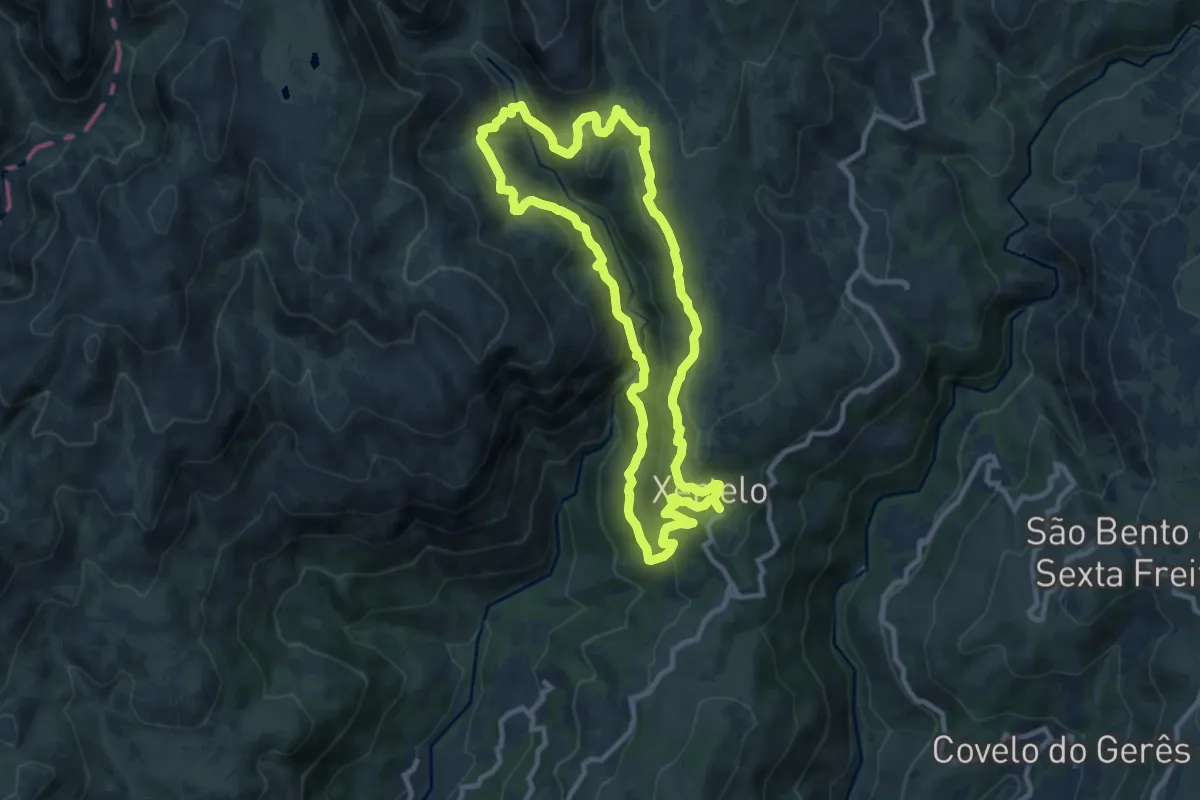
Demanding · Trail
Trilho dos Poços Verdes
10.3 km · ↑ 467 m · 3 h 35 min
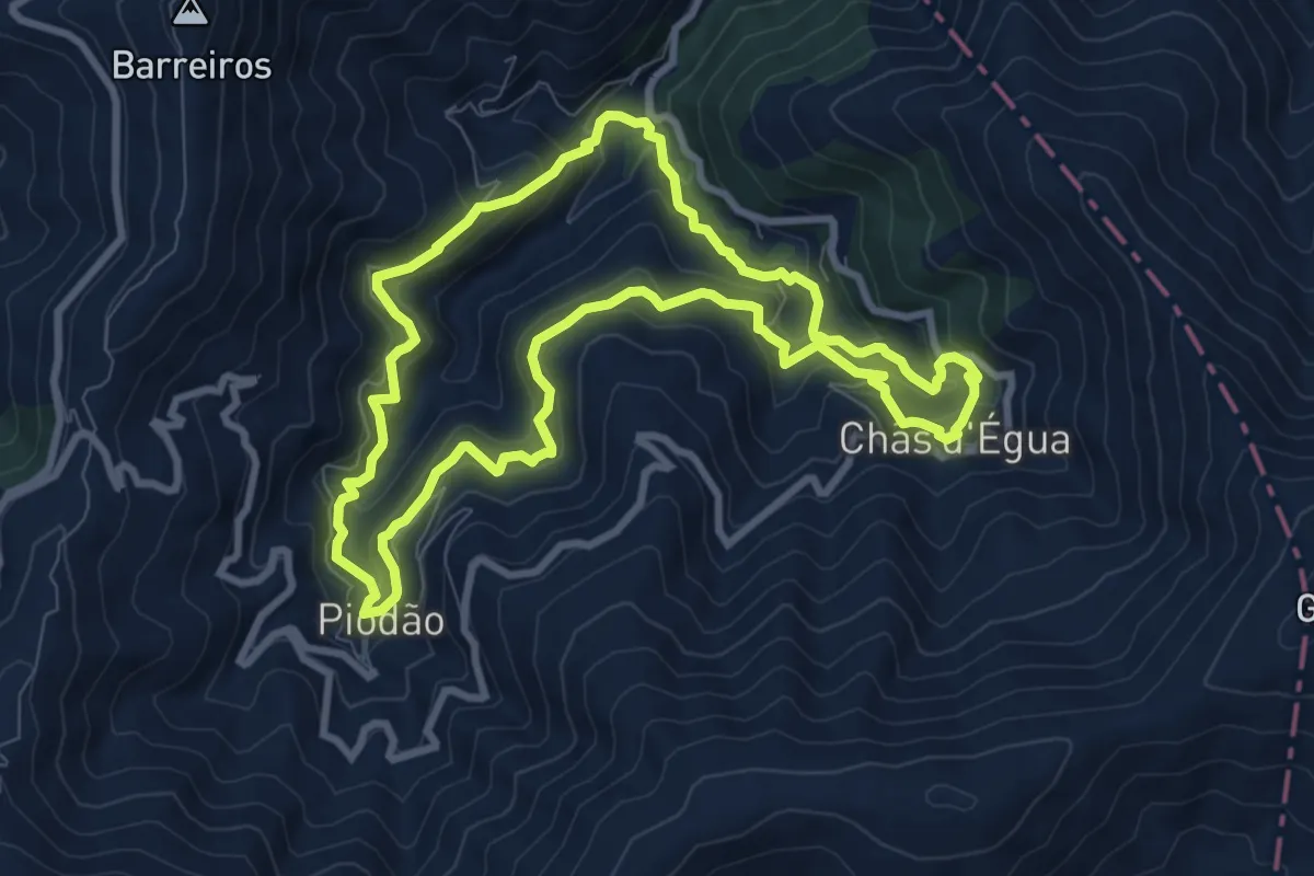
Medium · Trail
Trilho dos Povos das Ribeiras de Piodam
9.5 km · ↑ 608 m · 3 h 41 min
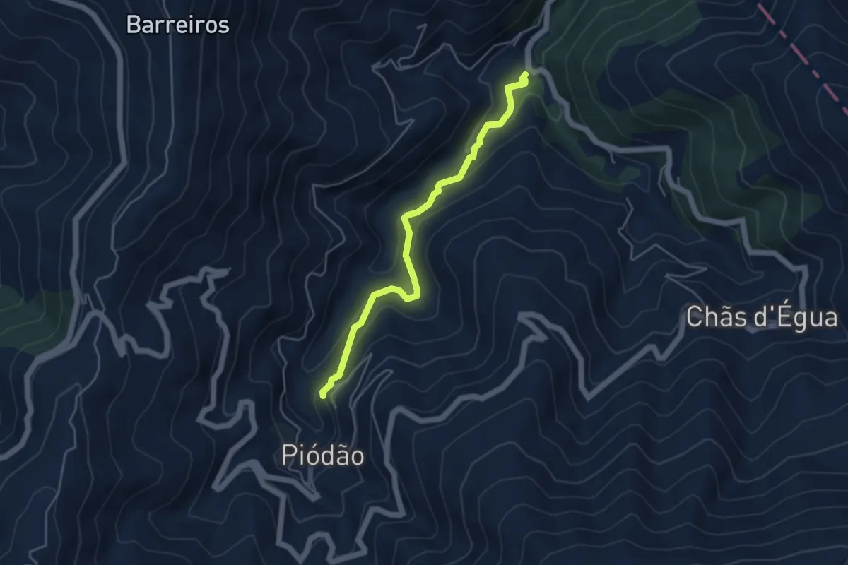
Easy · Trail
Trilho dos Povos das Ribeiras de Piodam - Variante
4.7 km · ↑ 279 m · 1 h 43 min
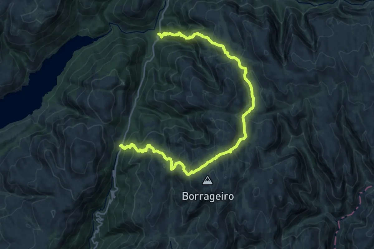
Demanding · Trail
Trilho dos Prados da Messe
20.6 km · ↑ 1400 m · 7 h 54 min
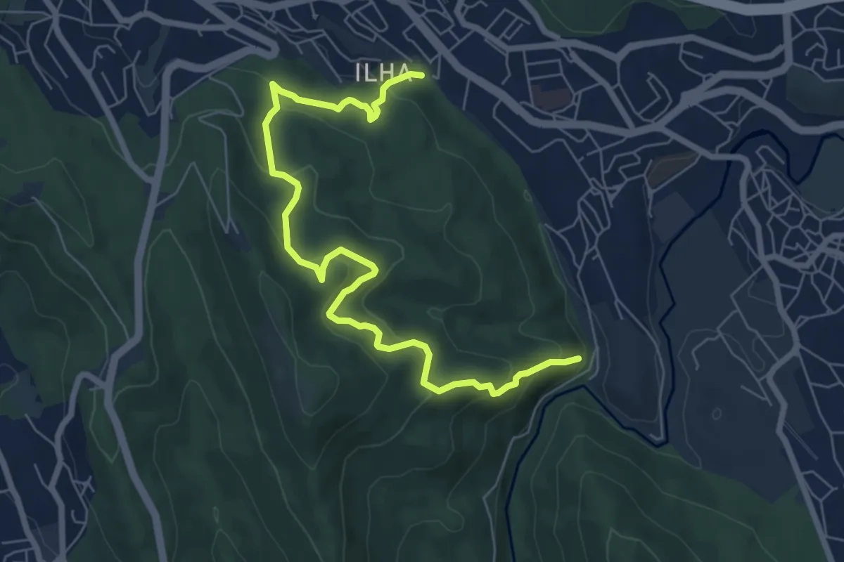
Medium · Trail
Trilho dos Romanos
8.3 km · ↑ 530 m · 3 h 6 min
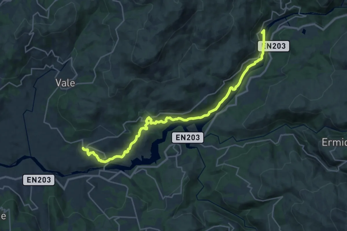
Demanding · Trail
Trilho dos Romeiros do Ermelo
20.3 km · ↑ 505 m · 5 h 53 min
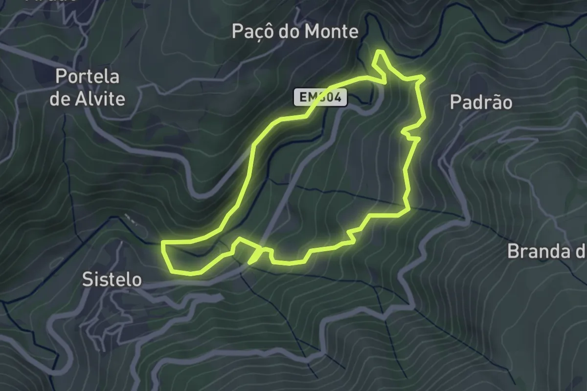
Easy · Trail
Trilho dos Socalcos do Sistelo
4.1 km · ↑ 252 m · 1 h 34 min
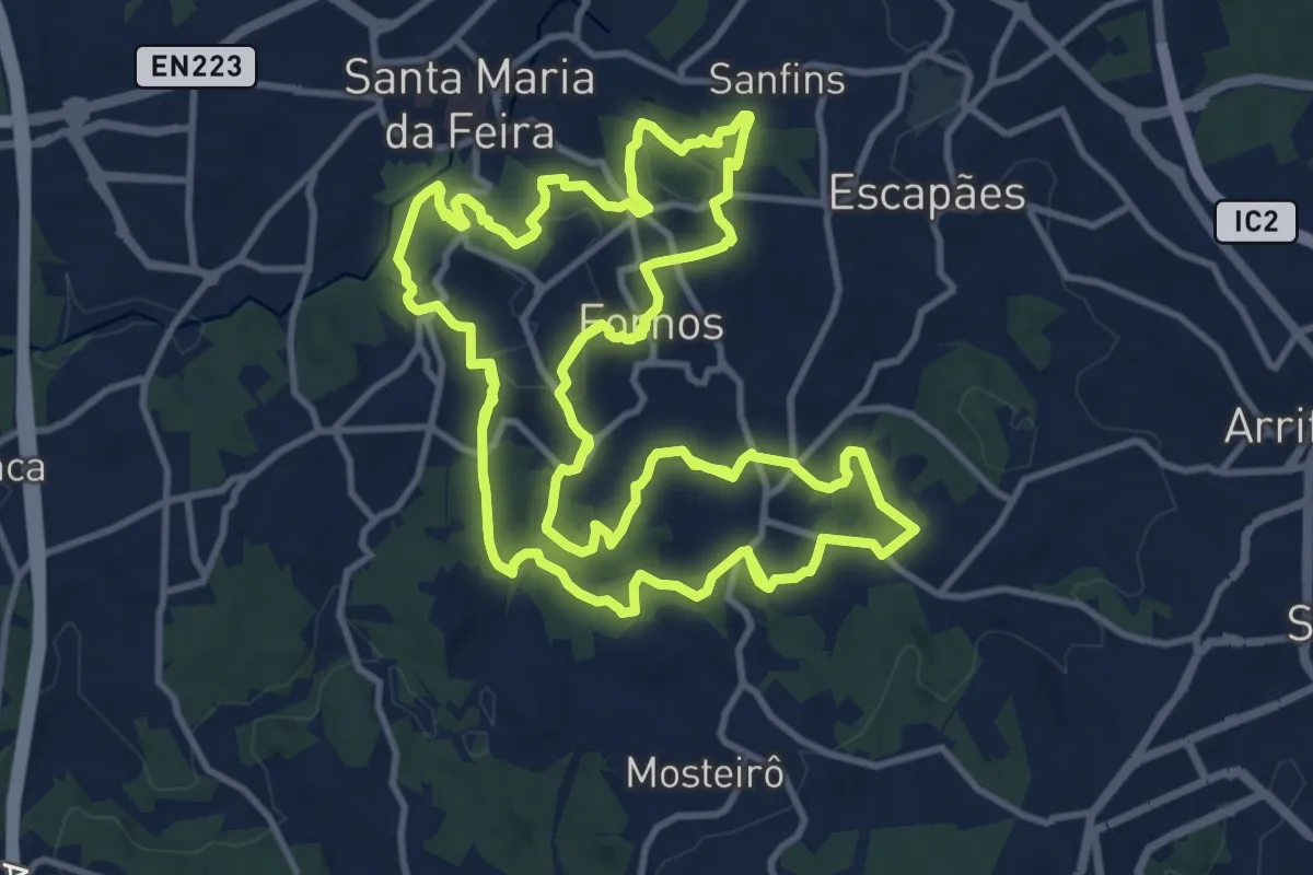
Medium · Trail
Trilho dos Três Arcos
17.8 km · ↑ 539 m · 5 h 37 min
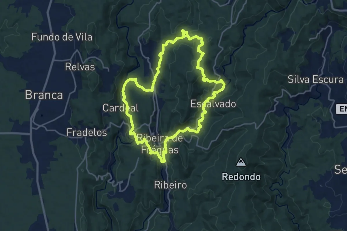
Medium · Trail
Trilho dos Três Rios
14.4 km · ↑ 469 m · 4 h 38 min
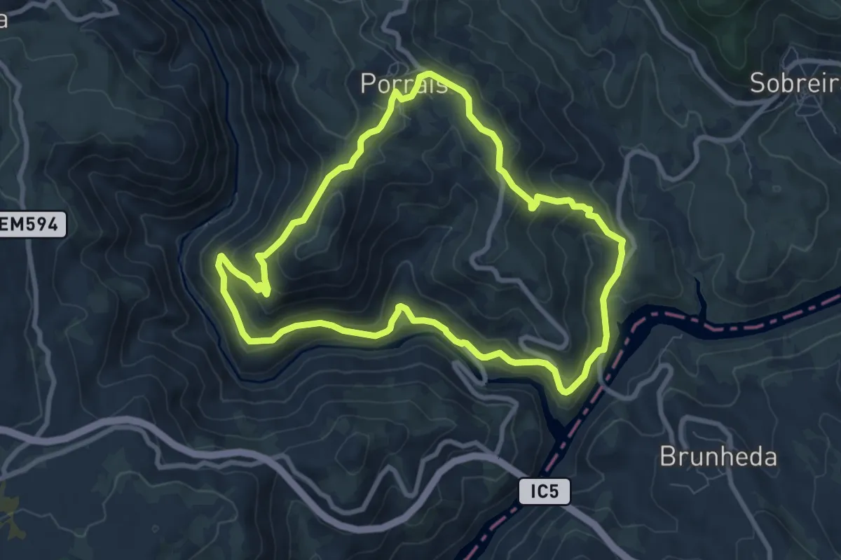
Medium · Trail
Trilho do Tinhela
8.5 km · ↑ 391 m · 2 h 58 min
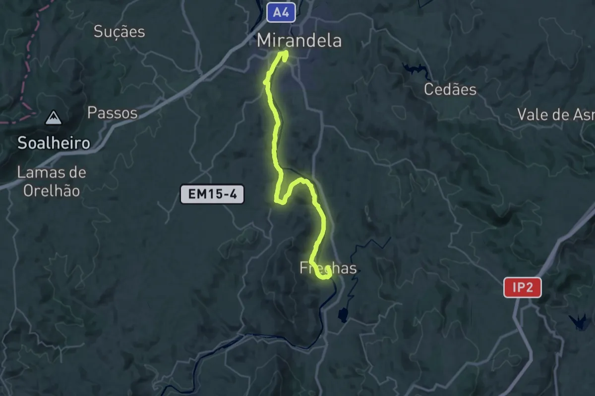
Demanding · Trail
Trilho do Tua
27.1 km · ↑ 492 m · 7 h 27 min
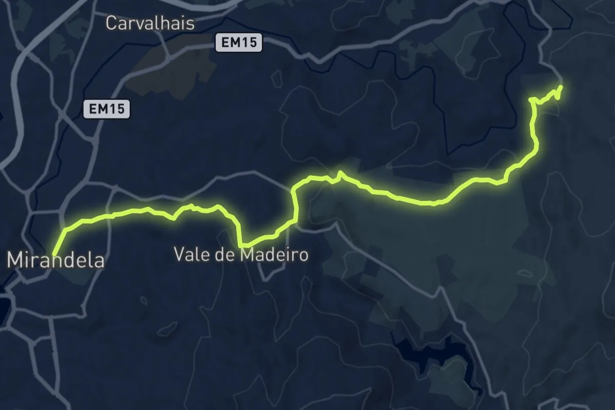
Medium · Trail
Trilho do Vale do Lobo
17.0 km · ↑ 367 m · 4 h 49 min
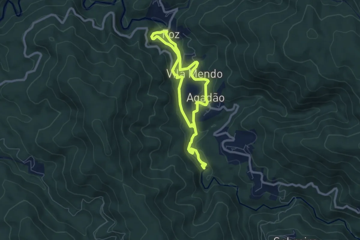
Easy · Trail
Trilho do Vale Serrano
5.4 km · ↑ 129 m · 1 h 38 min
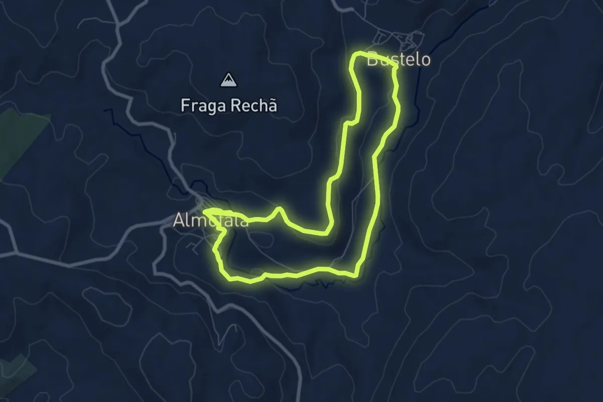
Medium · Trail
Trilho do Varosa
15.6 km · ↑ 274 m · 4 h 17 min
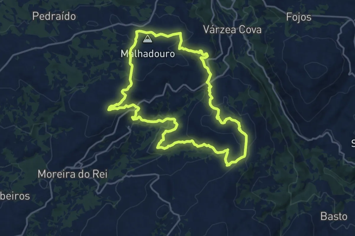
Medium · Summit
Trilho do Vento
13.7 km · ↑ 461 m · 4 h 25 min
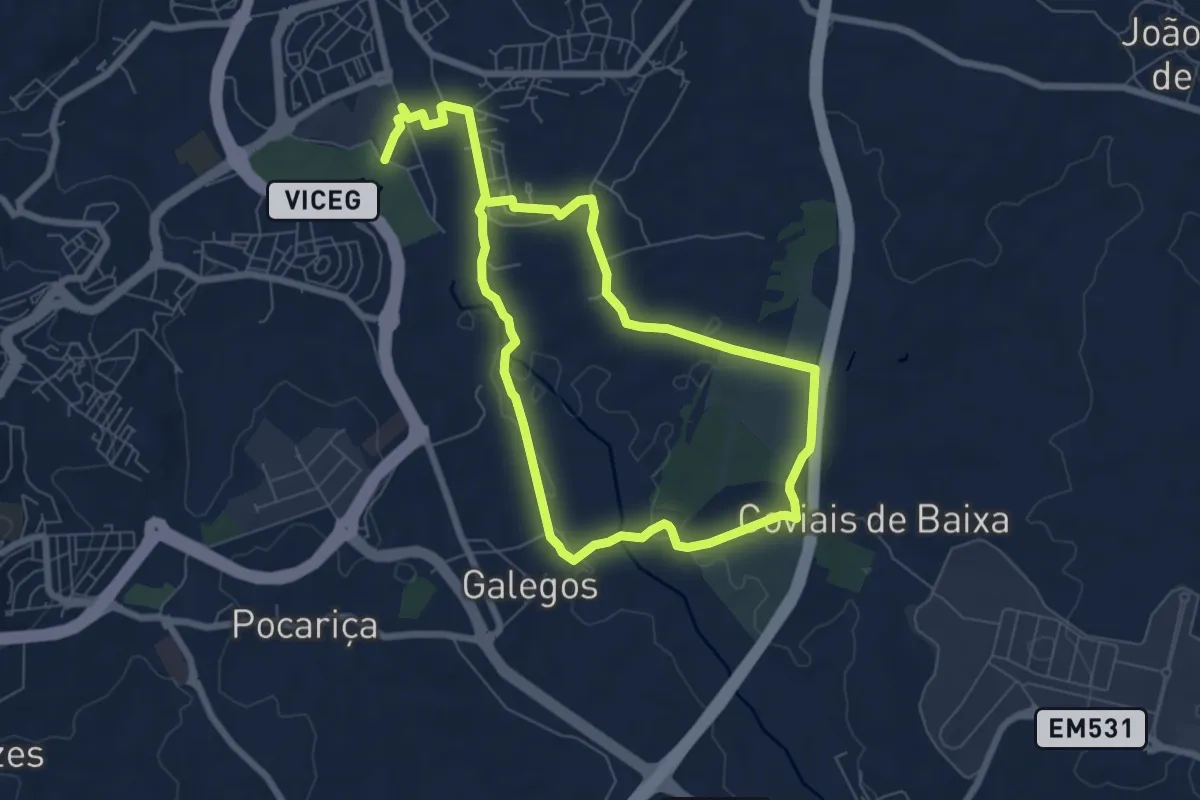
Medium · Trail
Trilho Entre Linhas
13.7 km · ↑ 129 m · 3 h 31 min
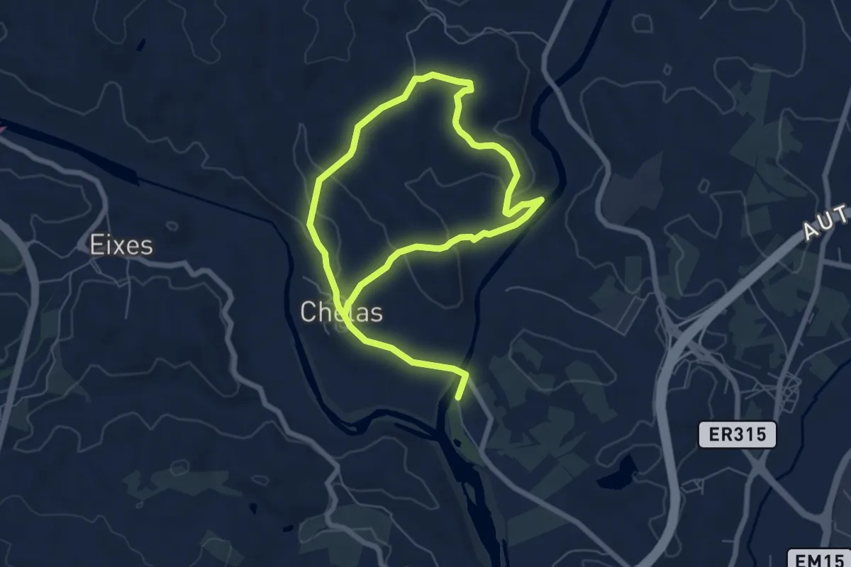
Medium · Trail
Trilho Entre Rios
11.4 km · ↑ 227 m · 3 h 11 min
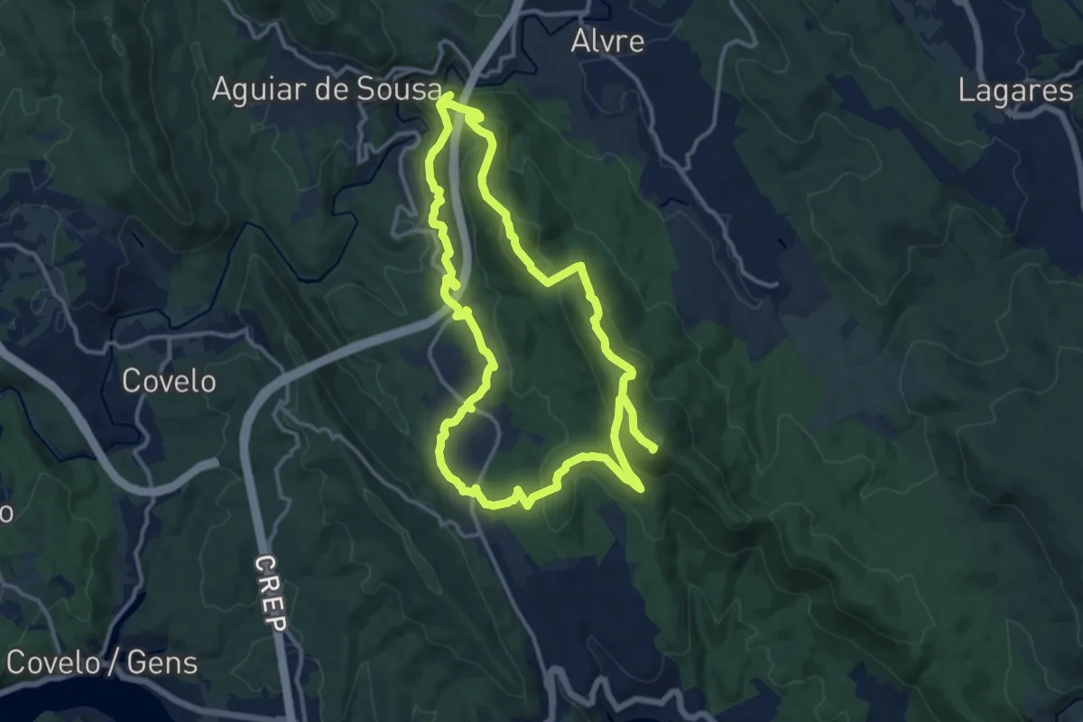
Demanding · Summit
Trilho Histórico
27.1 km · ↑ 1018 m · 8 h 36 min
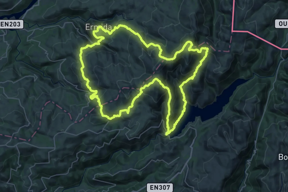
Demanding · Summit
Trilho Interpretativo da Serra Amarela
34.0 km · ↑ 2097 m · 13 h 3 min
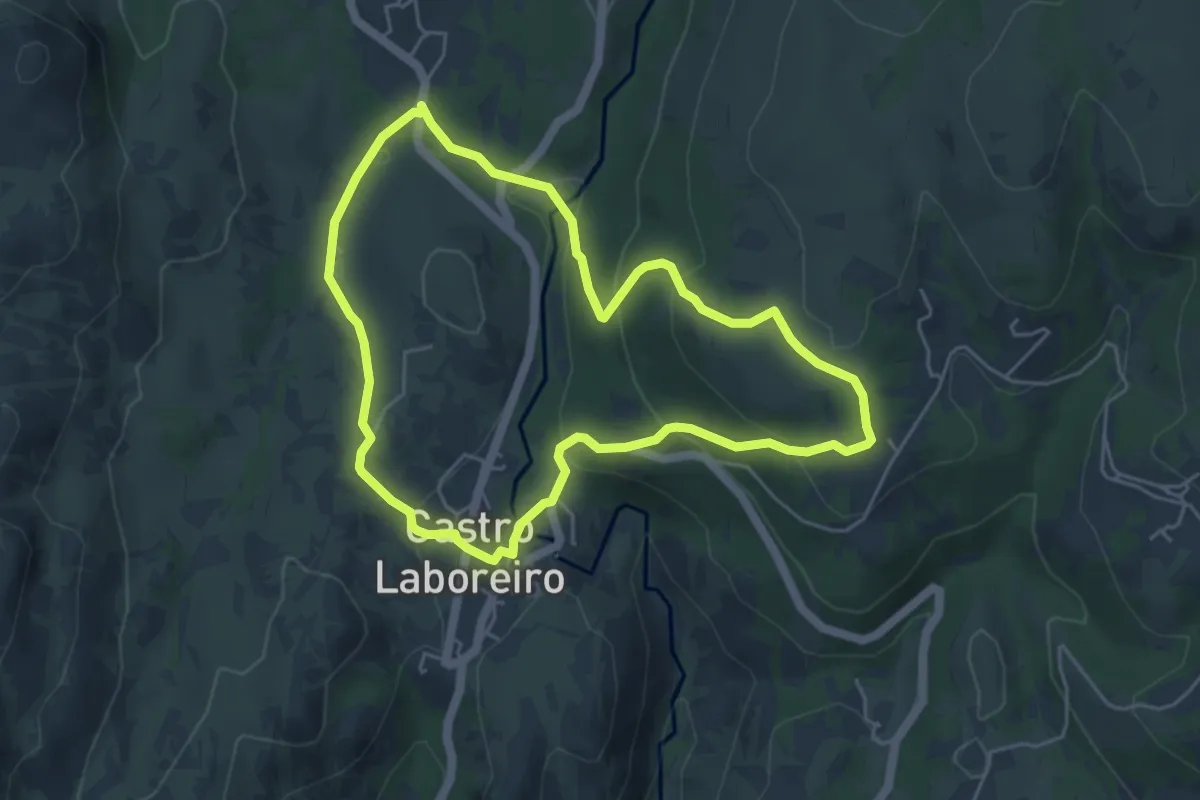
Easy · Trail
Trilho Interpretativo de Castro Laboreiro
5.1 km · ↑ 178 m · 1 h 40 min
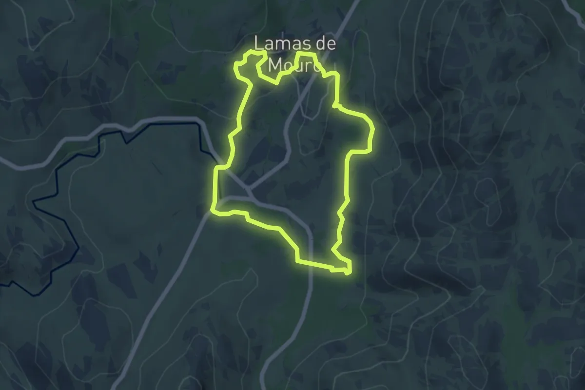
Easy · Trail
Trilho Interpretativo de Lamas de Mouro
4.9 km · ↑ 102 m · 1 h 27 min
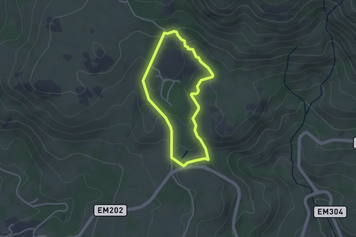
Easy · Trail
Trilho Interpretativo do Mezio
2.7 km · ↑ 80 m · 51 min
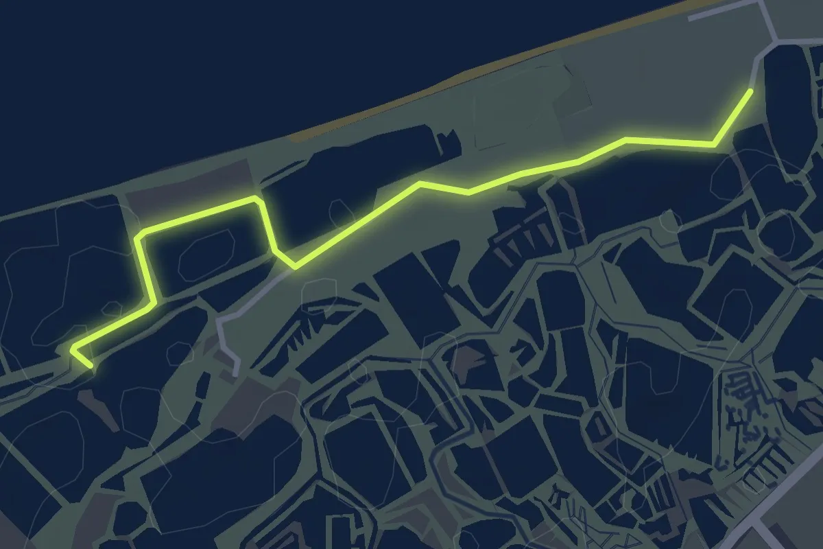
Easy · Trail
Trilho Mobilidade Reduzida
3.5 km · ↑ 4 m · 50 min
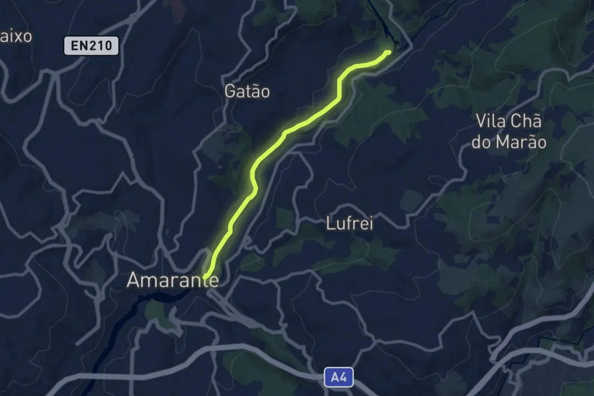
Medium · Trail
Trilho Nossa Senhora do Vau
8.1 km · ↑ 107 m · 2 h 8 min
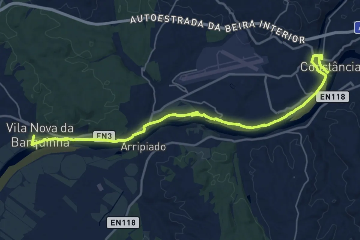
Demanding · Trail
Trilho Panorâmico do Tejo
23.4 km · ↑ 172 m · 5 h 54 min
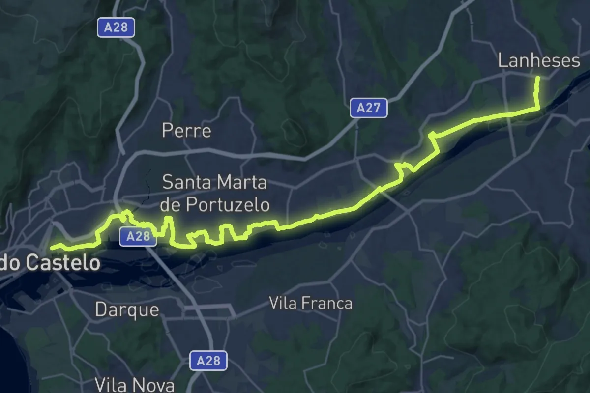
Demanding · Trail
Trilho Pedestre e Equestre da Ribeira Lima
18.7 km · ↑ 91 m · 4 h 53 min
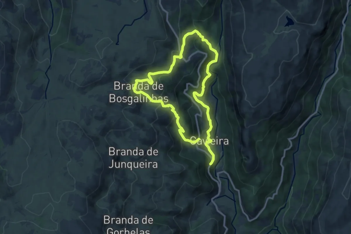
Demanding · Trail
Trilho Pertinho do Céu
16.0 km · ↑ 1054 m · 6 h 4 min
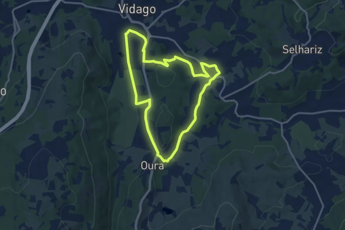
Medium · Trail
Trilho Ribeira de Oura
8.1 km · ↑ 128 m · 2 h 18 min
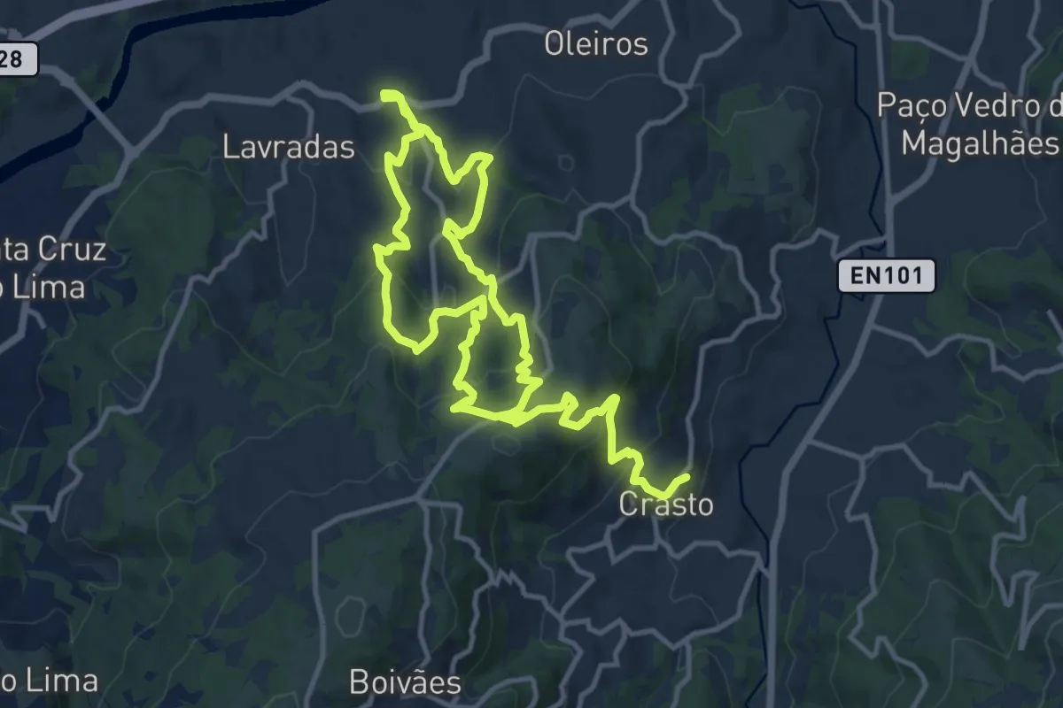
Demanding · Trail
Trilho Românico de Bravães a S. Martinho de Crasto
21.7 km · ↑ 1126 m · 7 h 33 min
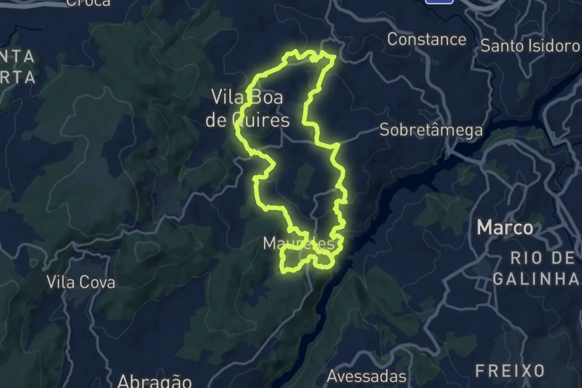
Medium · Trail
Trilhos de Portocarreiro
15.1 km · ↑ 518 m · 4 h 52 min
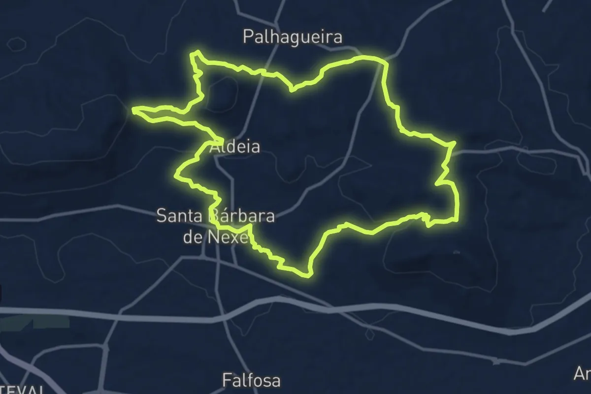
Medium · Trail
Trilhos de Santa Bárbara
13.8 km · ↑ 289 m · 4 h 4 min
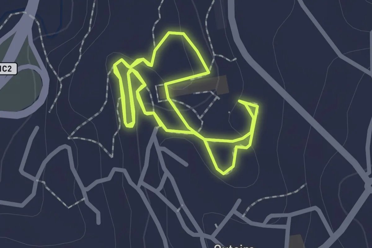
Easy · Trail
Trilhos do Comandante — Marcha e corrida
2.3 km · ↑ 30 m · 38 min
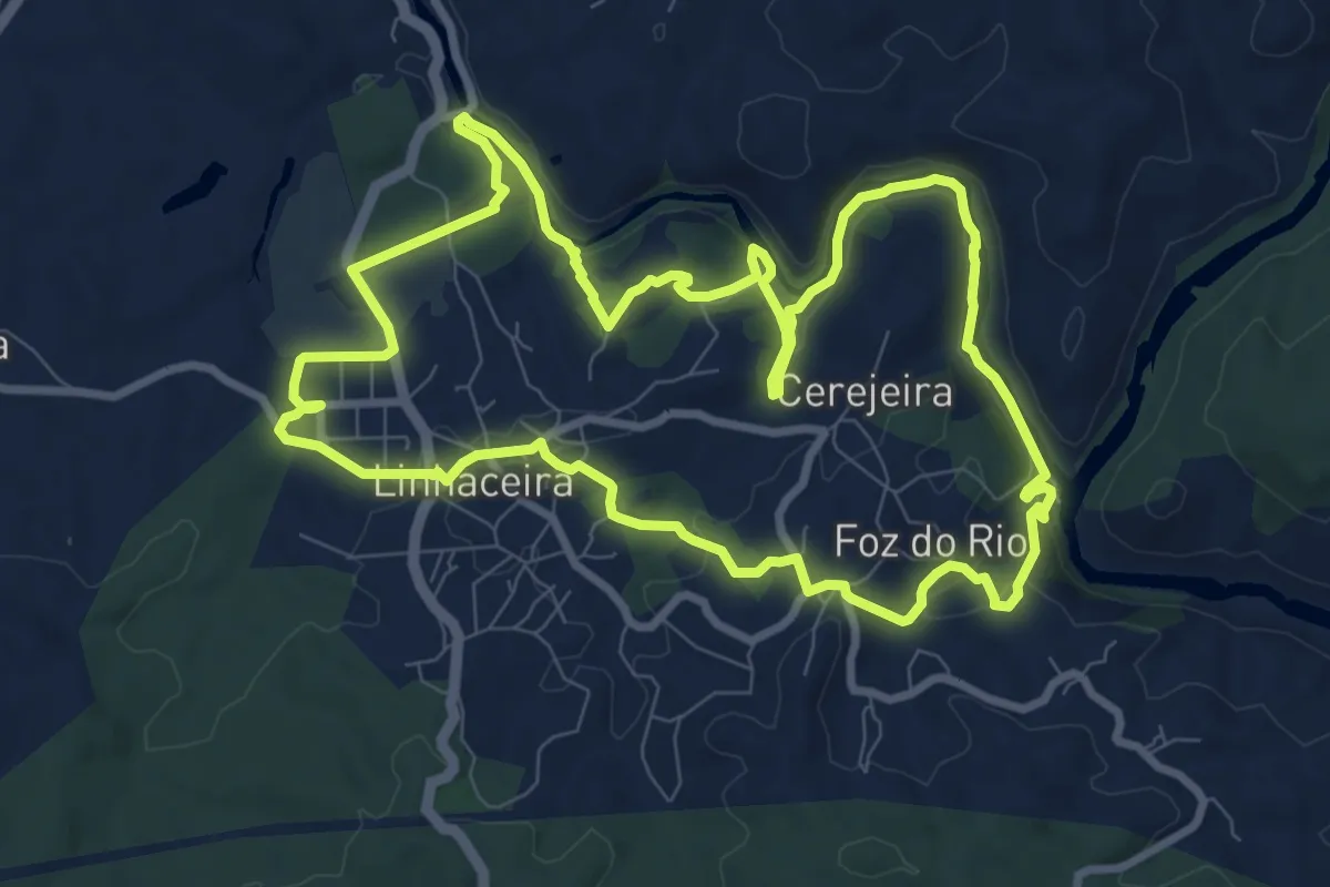
Medium · Trail
Trilhos do Nabão
10.7 km · ↑ 232 m · 3 h 10 min
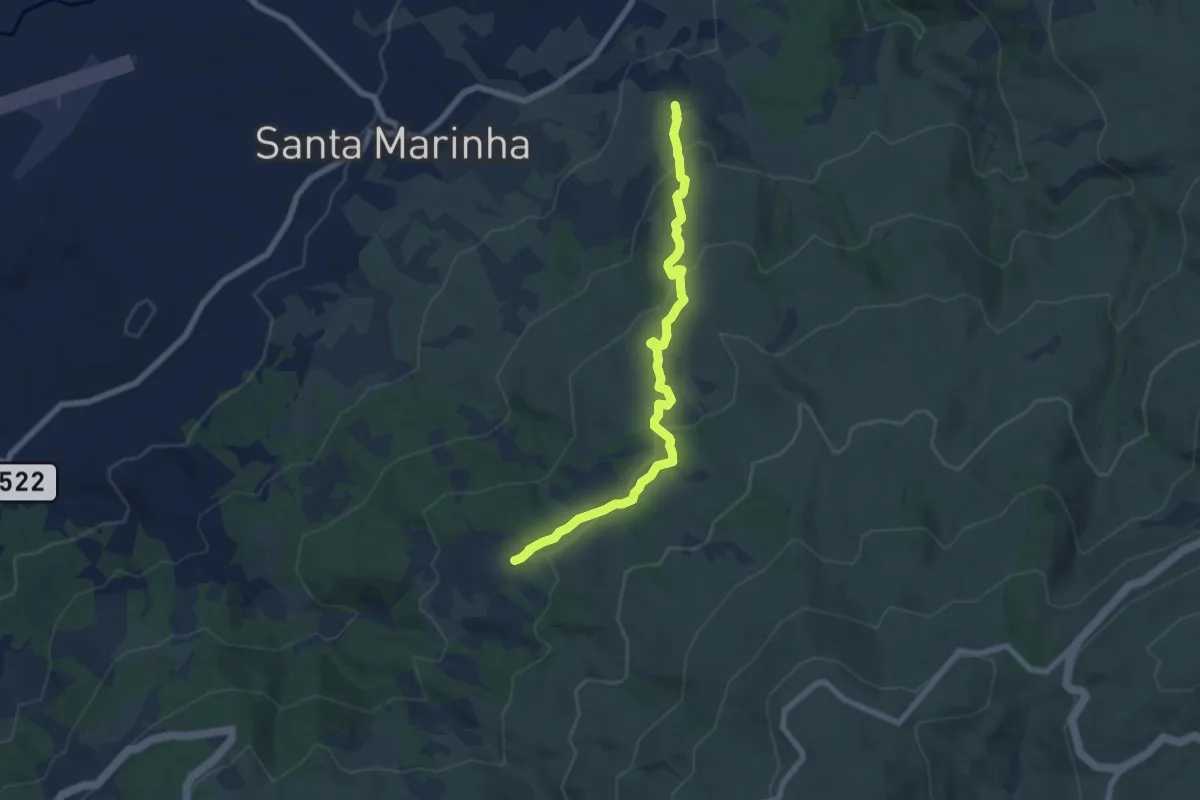
Medium · Trail
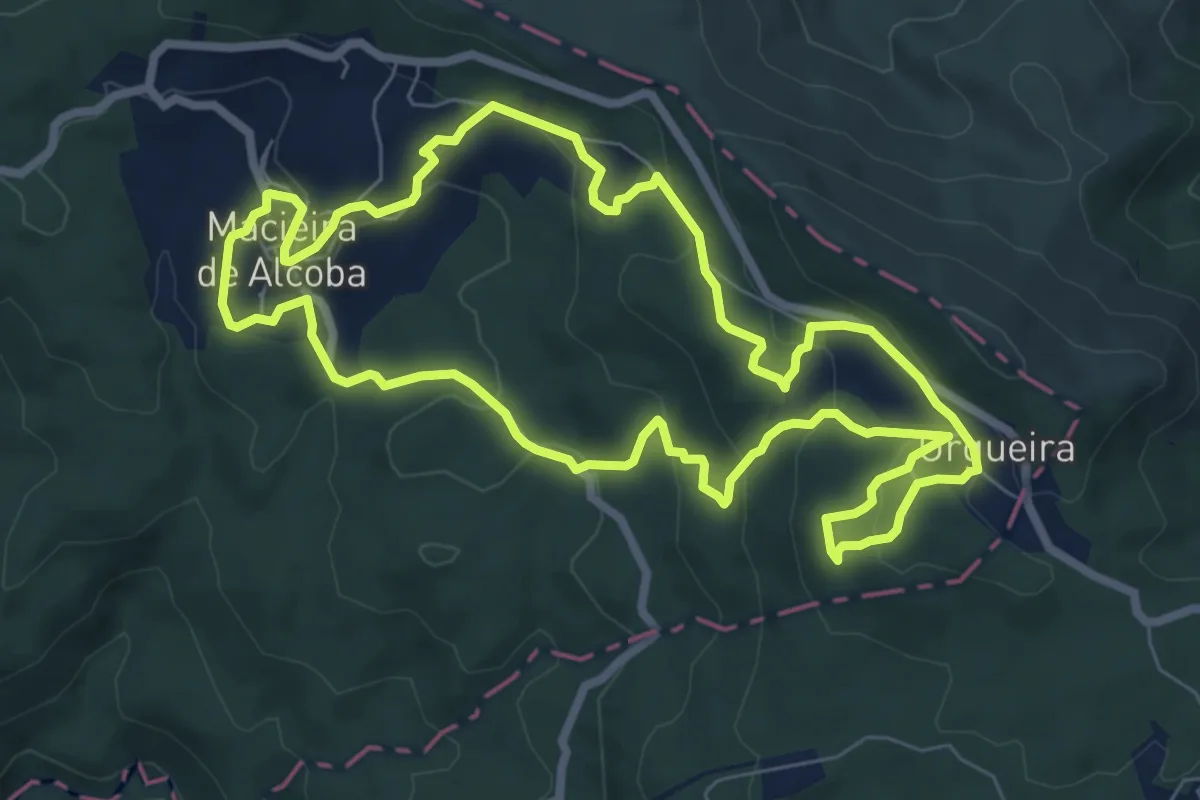
Trilho T2 (PNSE)
7.8 km · ↑ 346 m · 2 h 35 min
Medium · Trail
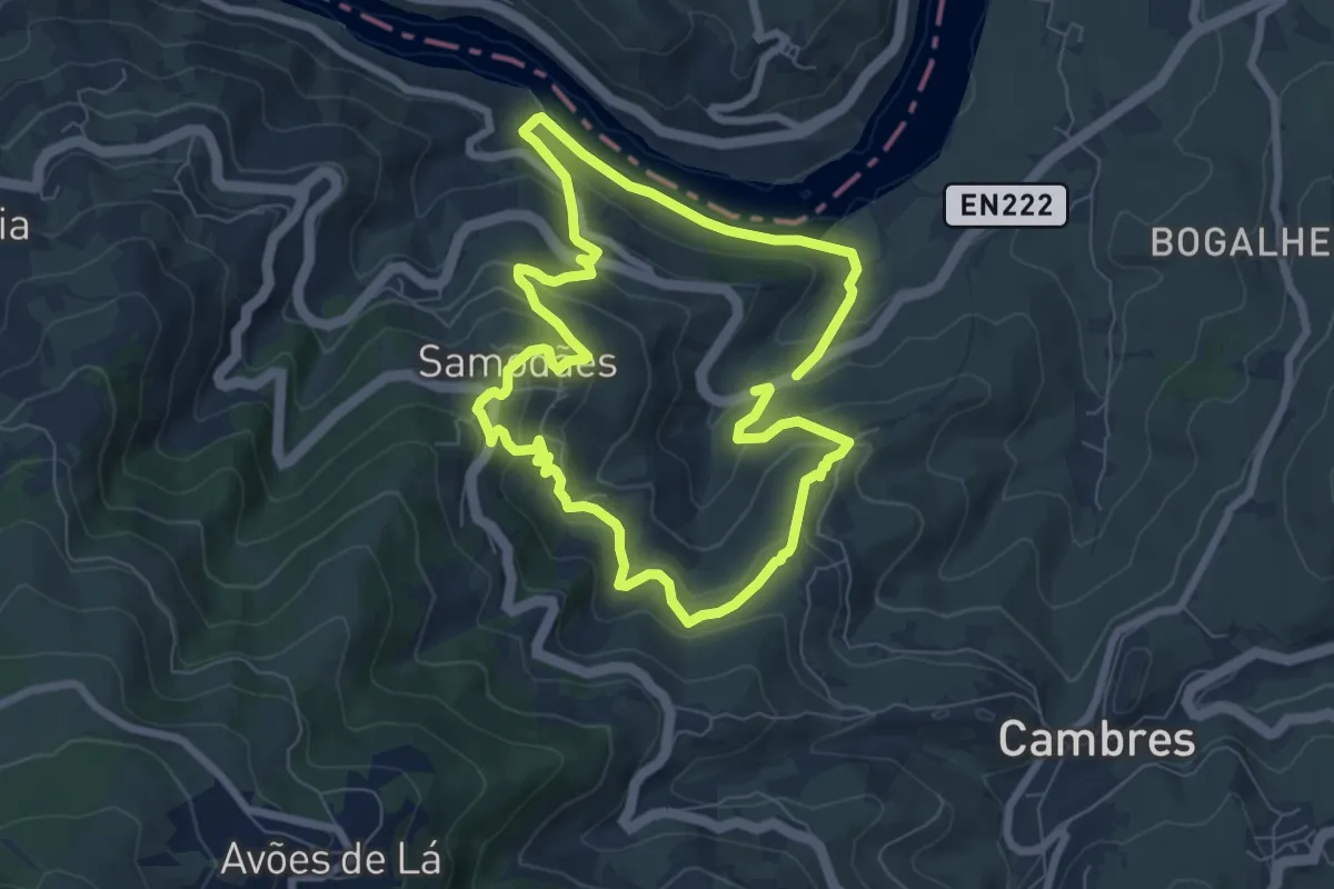
Trilho Terras de Granito
8.4 km · ↑ 313 m · 2 h 47 min
Medium · Trail
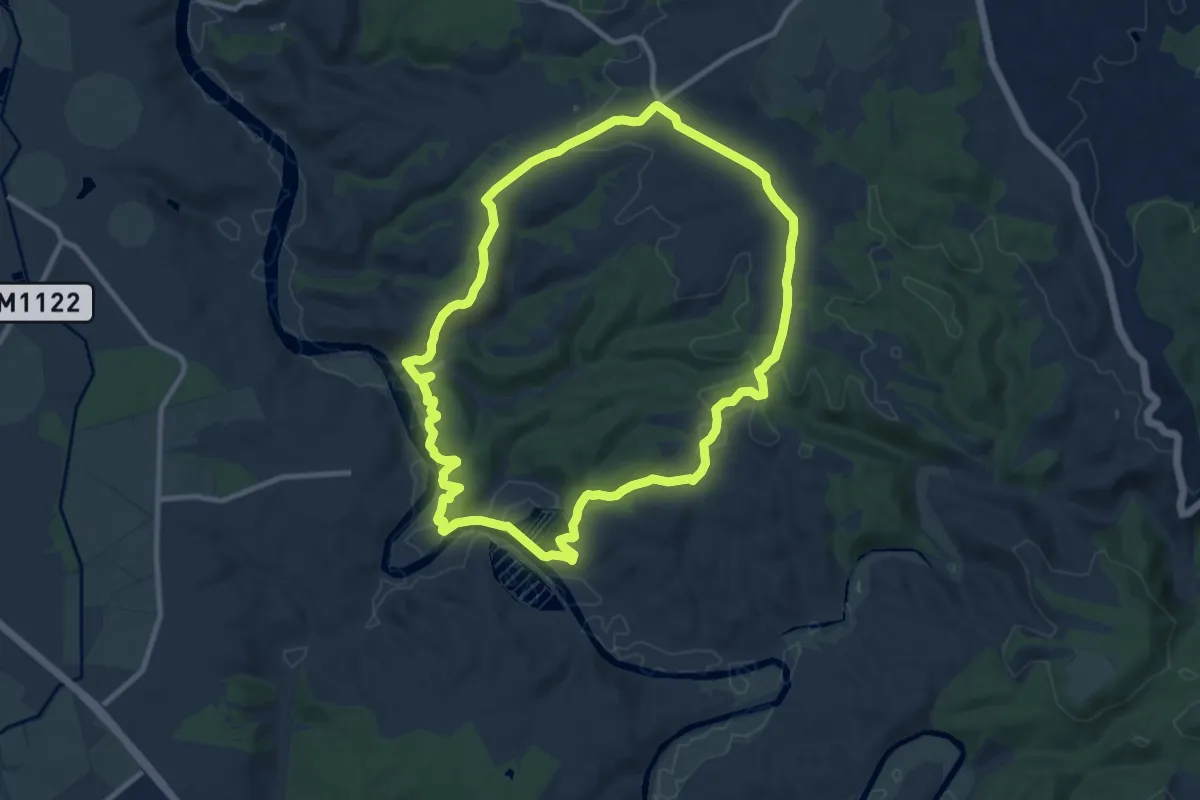
Trilho Vinho do Porto
7.4 km · ↑ 431 m · 2 h 46 min
Medium · Trail
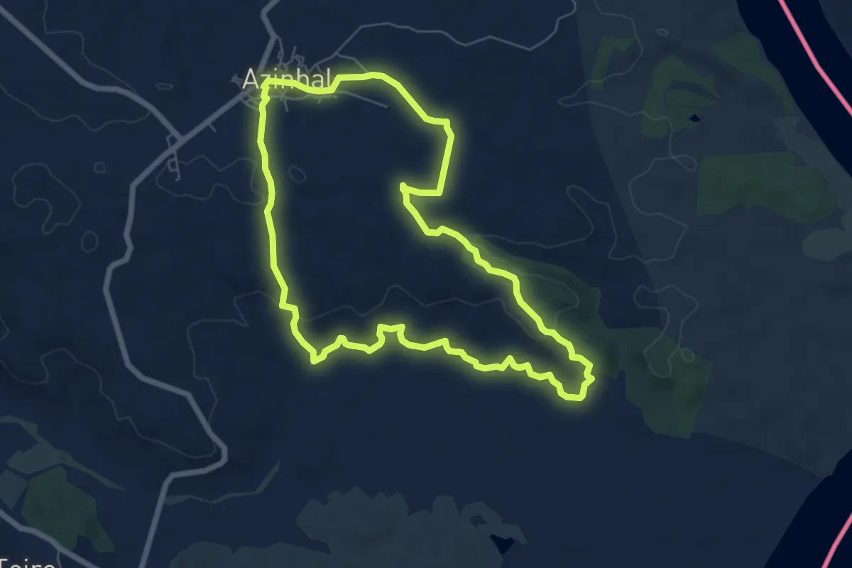
Troviscais ao Mira
11.4 km · ↑ 201 m · 3 h 17 min
Easy · Trail
Uma janela para o Guadiana
7.3 km · ↑ 111 m · 2 h 3 min
Easy · Trail
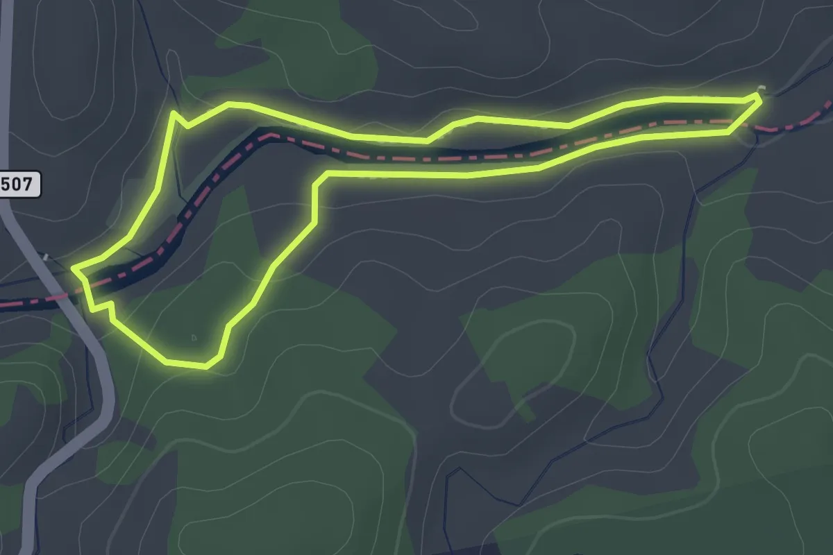
Um percurso ribeirinho
2.5 km · ↑ 29 m · 41 min
Medium · Trail
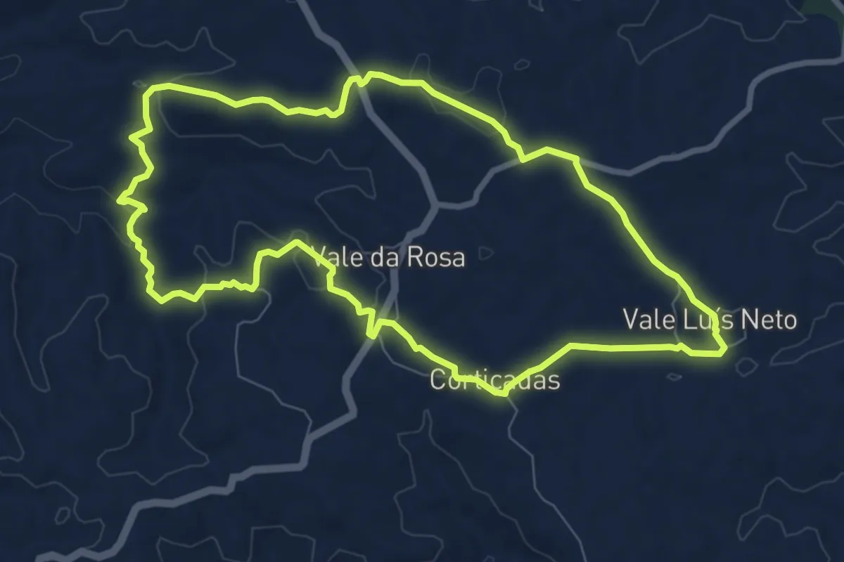
Vale da Rosa
9.0 km · ↑ 156 m · 2 h 35 min
Medium · Summit
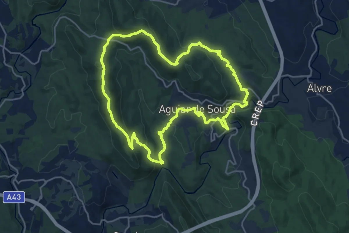
Vale de Aguiar
13.0 km · ↑ 519 m · 4 h 23 min
Easy · Trail
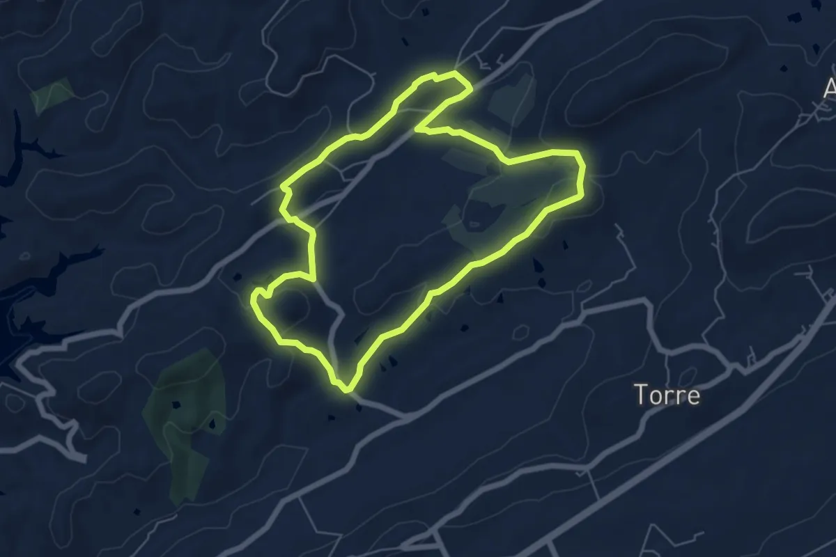
Vale Fuzeiros
6.5 km · ↑ 171 m · 1 h 59 min
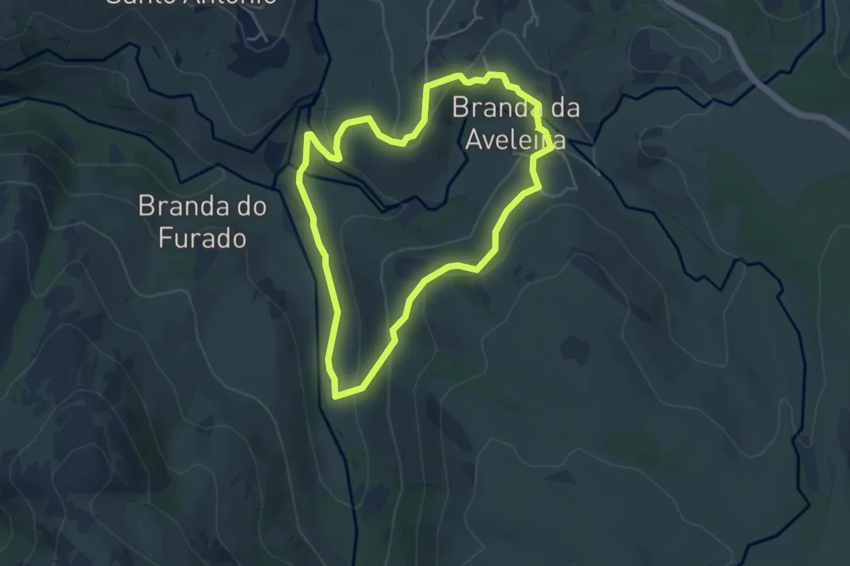
Easy · Trail
Vale Glaciar do Vez
4.2 km · ↑ 165 m · 1 h 25 min
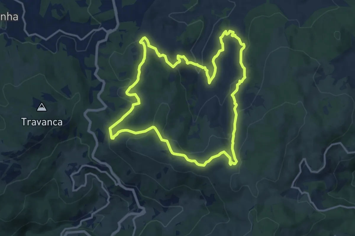
Medium · Trail
Varanda do Coura
11.6 km · ↑ 460 m · 3 h 54 min
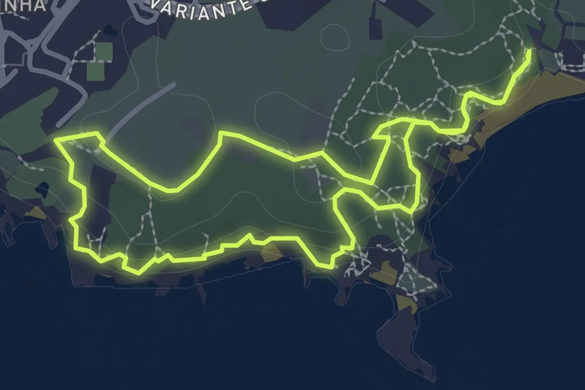
Demanding · Trail
Varandas sobre o Mar
3.3 km · ↑ 70 m · 58 min
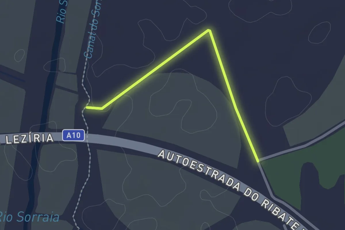
Easy · Trail
Variante 1.1
1.1 km · ↑ 5 m · 18 min