Trails in Puerto Rico
53 hiking trails, each with its route, climb, walking time and grade.
Near a town
- Adjuntas
- Aibonito
- Añasco
- Arecibo
- Barceloneta
- Barranquitas
- Bayamón
- Cabo Rojo
- Camuy
- Canóvanas
- Cataño
- Cayey
- Ceiba
- Ciales
- Coamo
- Comerío
- Fajardo
- Florida
- Guayama
- Guaynabo
- Gurabo
- Hatillo
- Hormigueros
- Humacao
- Isabela
- Isabel Segunda
- Jayuya
- Juana Díaz
- Juncos
- Lajas
- Lares
- Las Piedras
- Luquillo
- Manatí
- Mayagüez
- Morovis
- Naguabo
- Orocovis
- Peñuelas
- Ponce
All trails, page 1 of 2
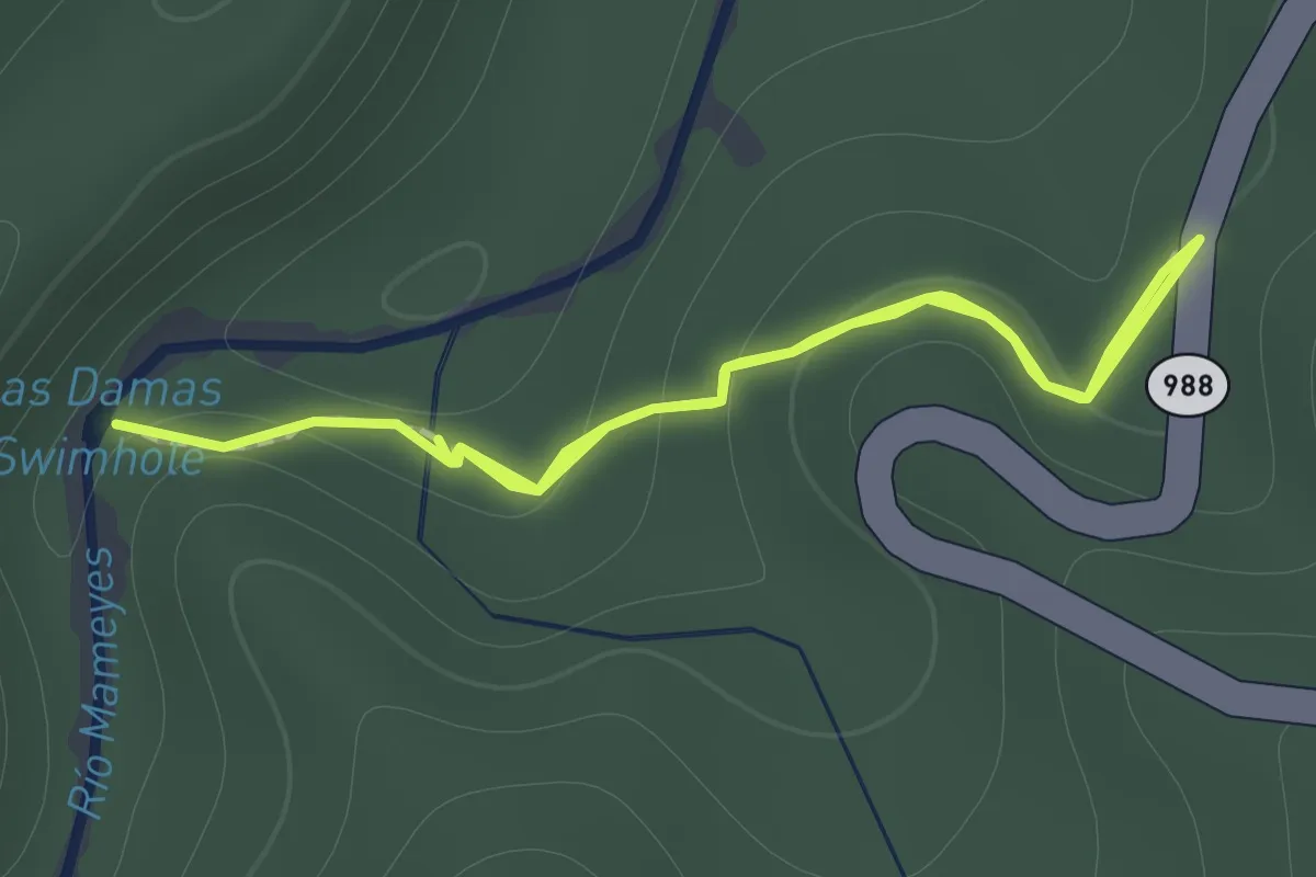
Easy · Trail
Angelito Trail
1.0 km · ↑ 70 m · 24 min
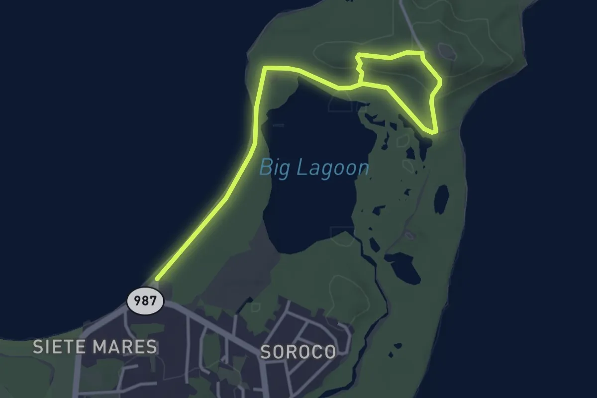
Easy · Trail
Bosque Seco
5.8 km · ↑ 111 m · 1 h 36 min
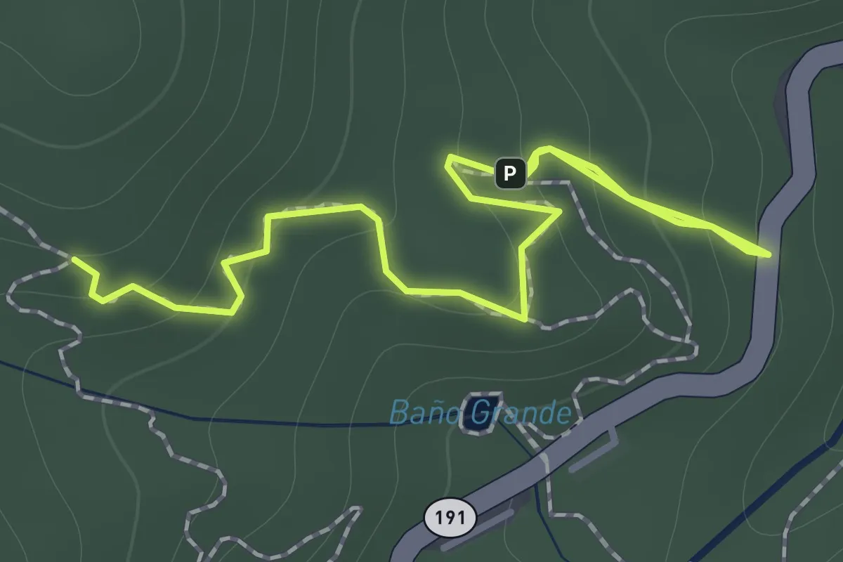
Medium · Trail
Caimitillo Trail
2.1 km · ↑ 165 m · 52 min
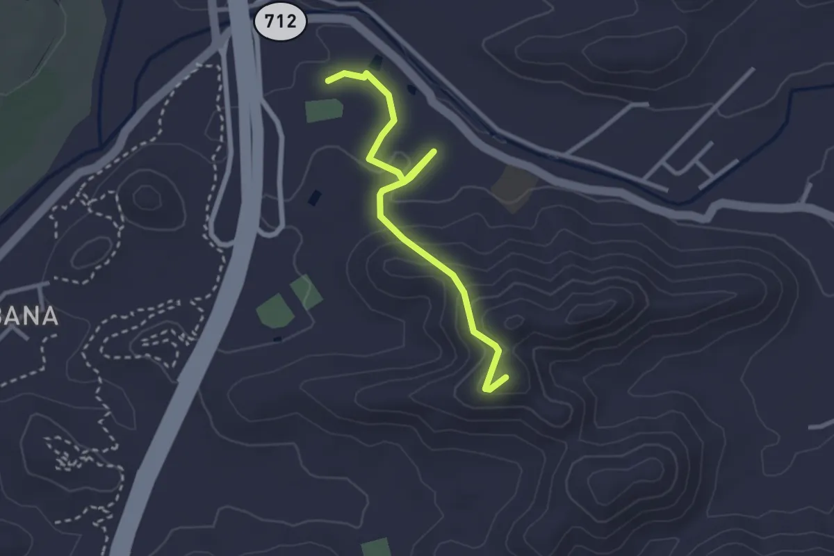
Easy · Trail
Caminata Albergue Olímpico
3.8 km · ↑ 162 m · 1 h 15 min
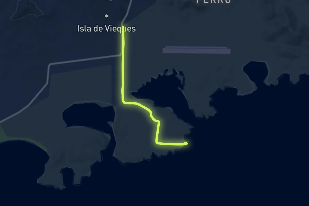
Medium · Trail
Caminata al Faro de Puerto Ferro
8.2 km · ↑ 71 m · 2 h 6 min
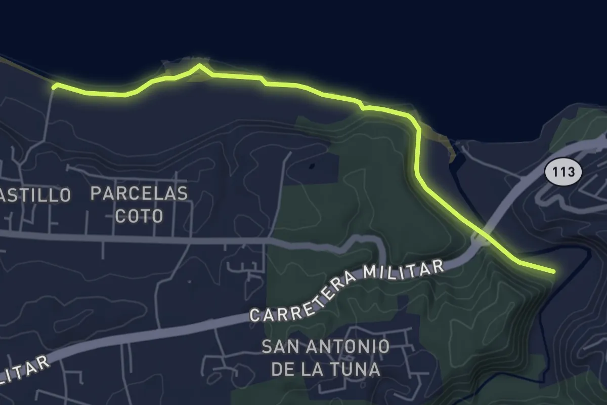
Easy · Trail
Caminata del Túnel Guajataca
7.0 km · ↑ 201 m · 2 h 5 min
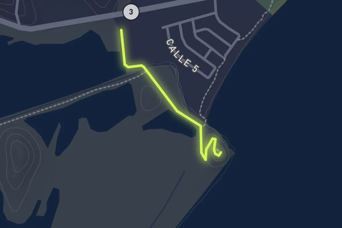
Easy · Trail
Caminata El Morrillo
2.1 km · ↑ 32 m · 34 min
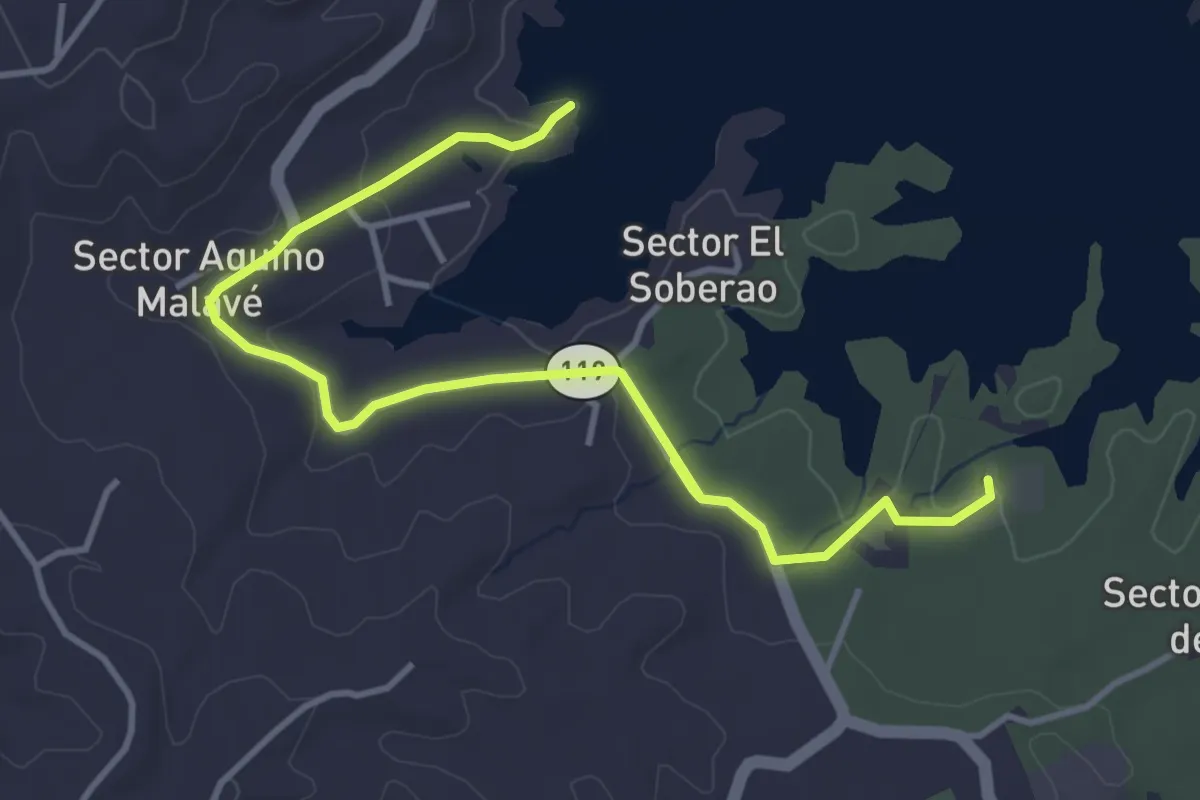
Easy · Trail
Caminata El Pesca'o
6.5 km · ↑ 118 m · 1 h 48 min
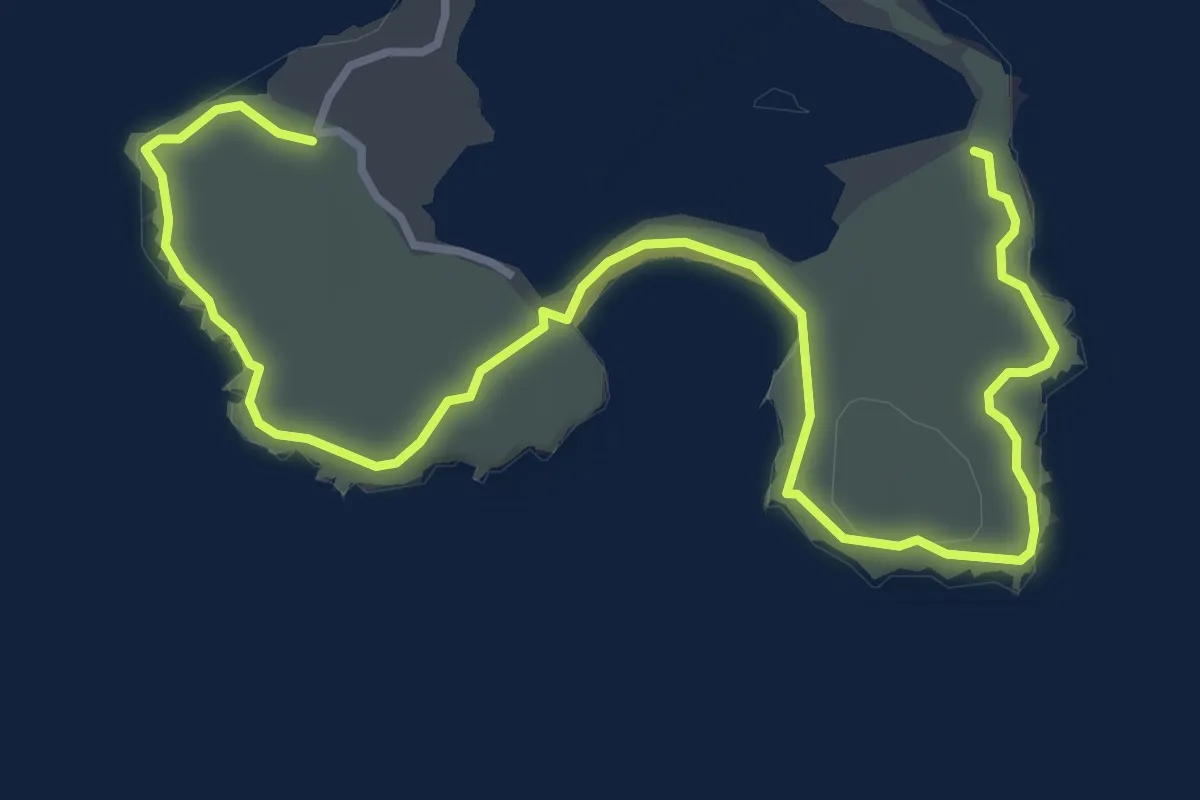
Easy · Trail
Caminata Faro Los Morillos - Playa Sucia
6.7 km · ↑ 71 m · 1 h 45 min
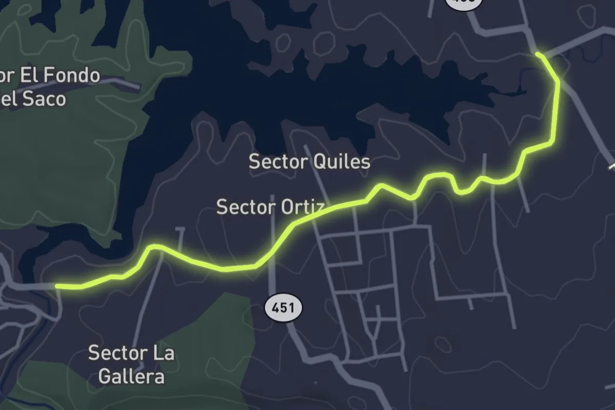
Easy · Trail
Caminata La Soller
5.3 km · ↑ 58 m · 1 h 27 min
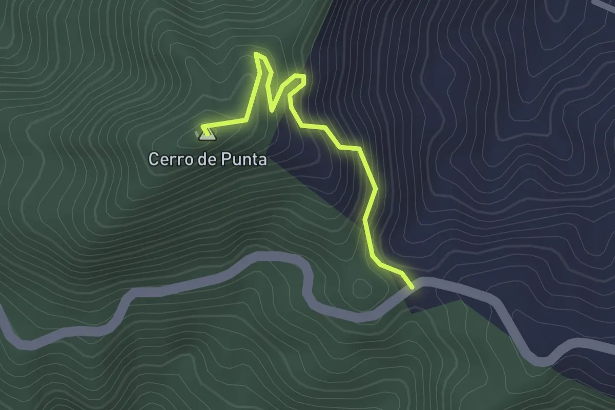
Easy · Summit
Camino Cerro de Punta
2.2 km · ↑ 190 m · 55 min
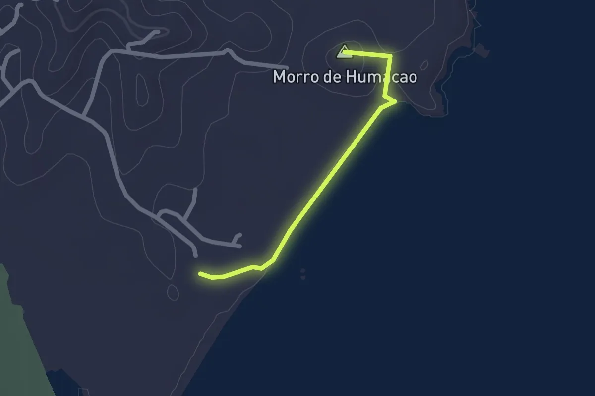
Easy · Summit
Camino hacia el Morro de Humacao
2.2 km · ↑ 21 m · 34 min
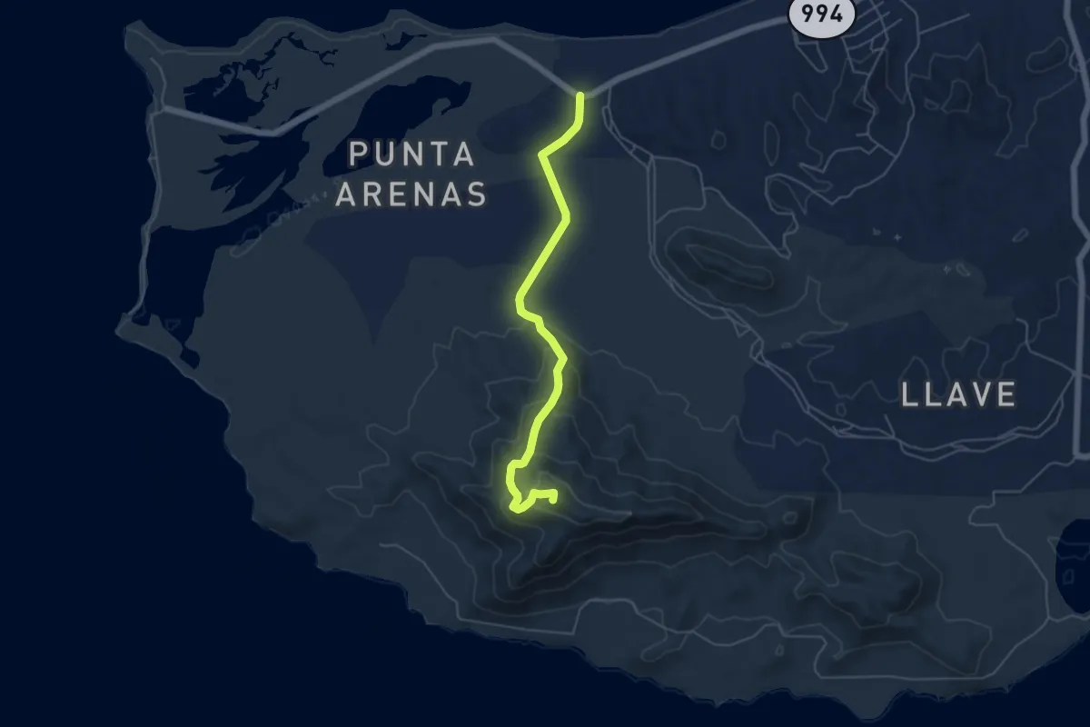
Easy · Summit
Camino Monte Pirata
6.9 km · ↑ 286 m · 2 h 15 min
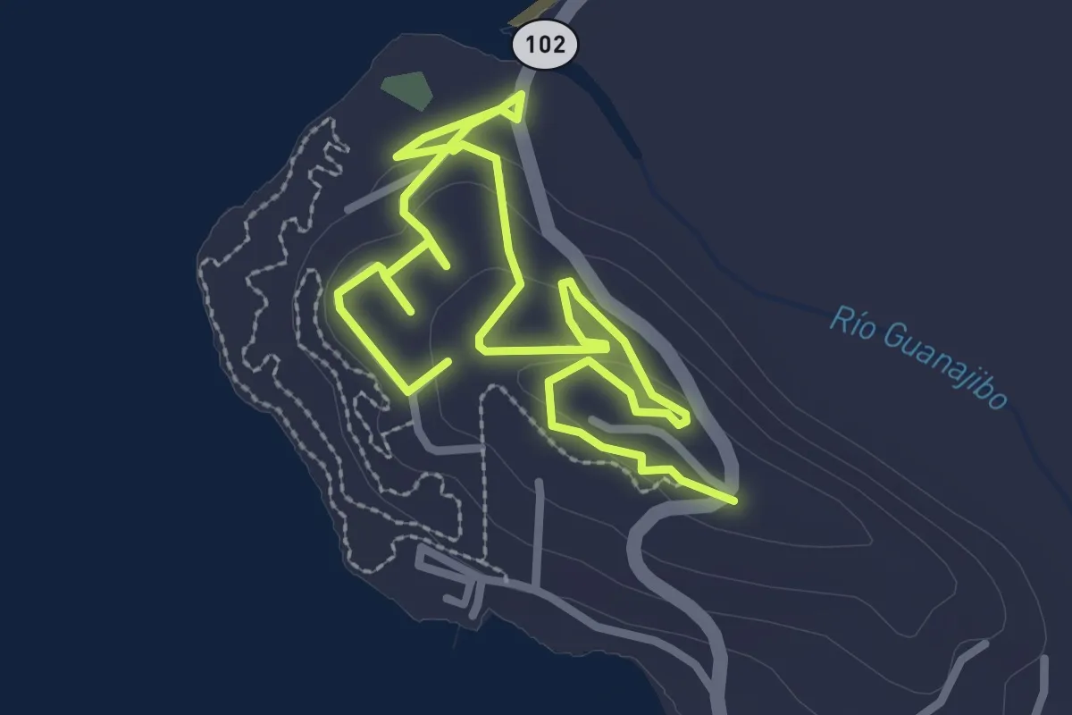
Easy · Summit
Caminos de Monte Pirata Cabo Rojo
5.9 km · ↑ 91 m · 1 h 36 min
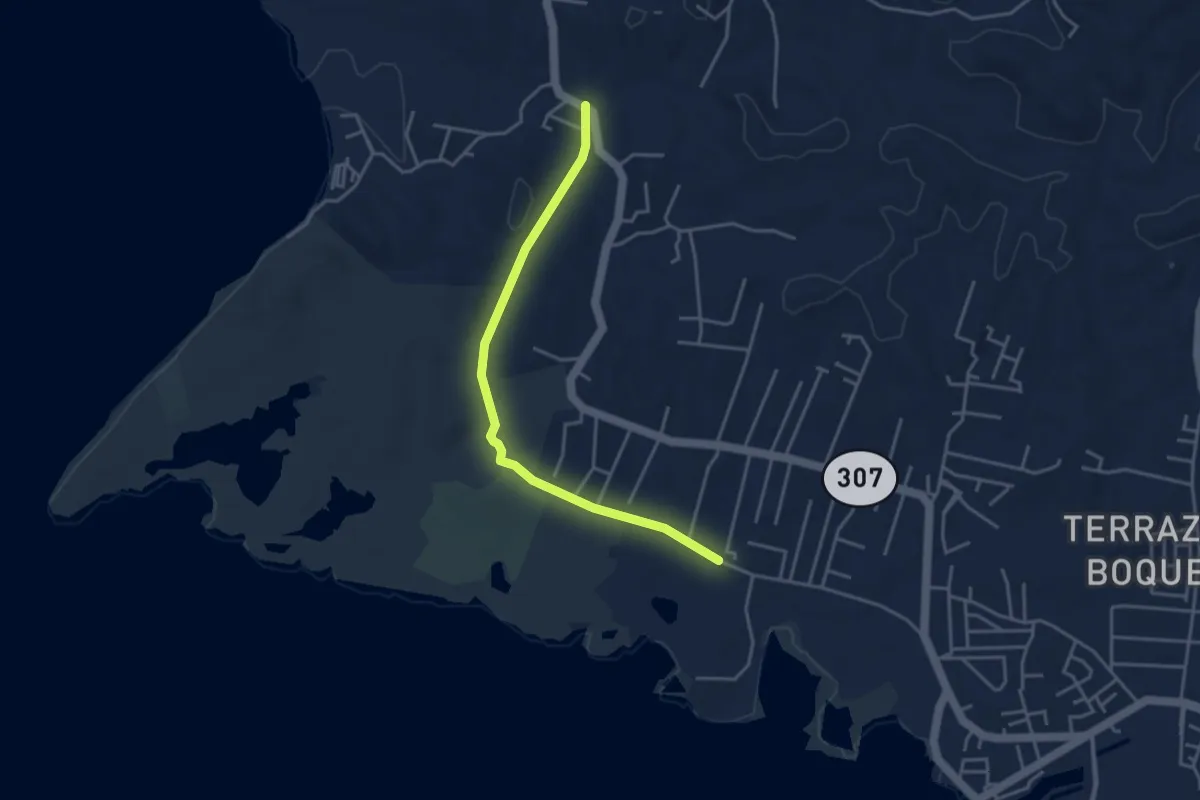
Easy · Trail
Camino Túnel de Guaniquilla
5.2 km · ↑ 42 m · 1 h 19 min
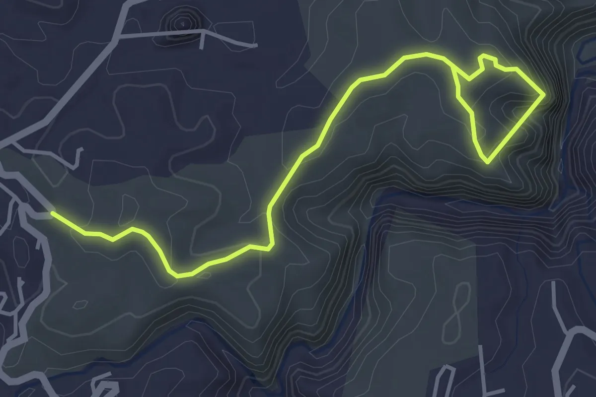
Medium · Trail
Cañon San Cristobal Hiking Route
6.0 km · ↑ 360 m · 2 h 12 min
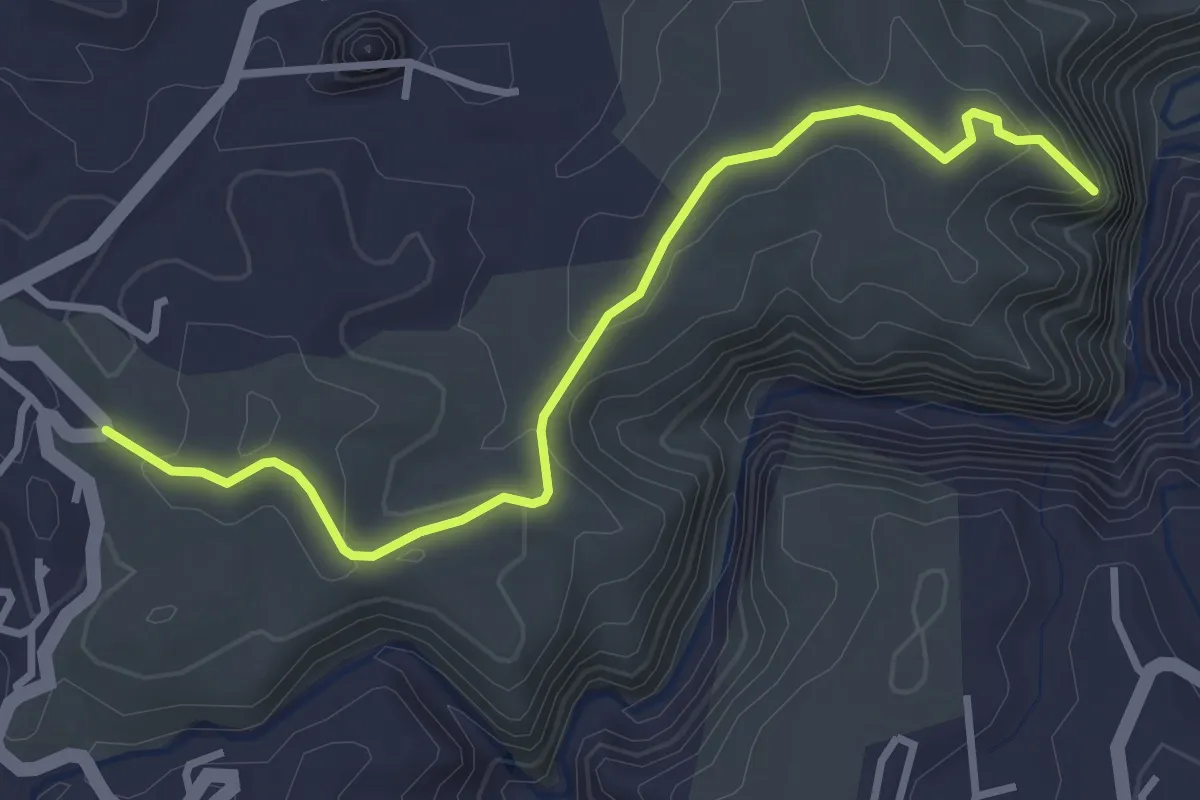
Easy · Trail
Cascada El Ancón
4.7 km · ↑ 159 m · 1 h 27 min
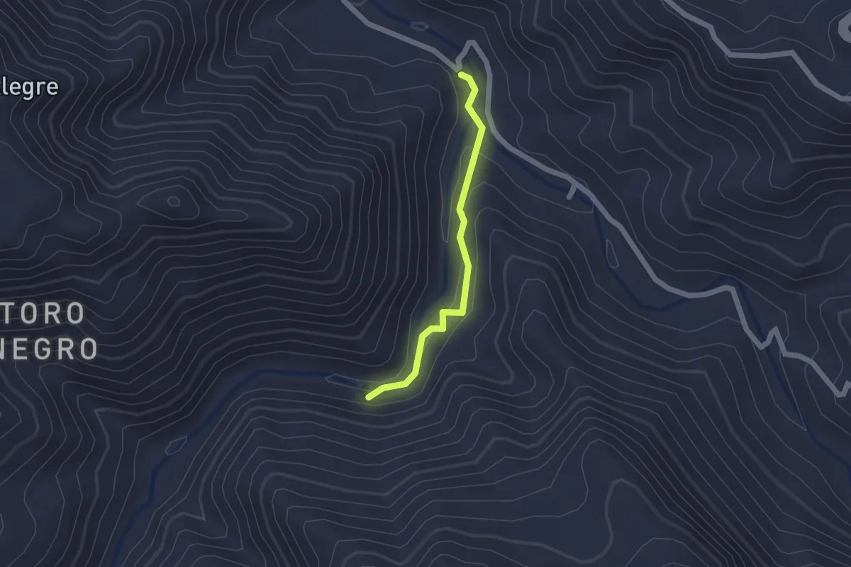
Easy · Trail
Charco El Morón
2.0 km · ↑ 83 m · 40 min
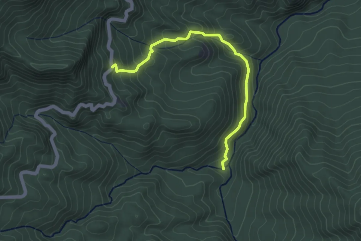
Demanding · Trail
Coca Trail
4.9 km · ↑ 344 m · 1 h 55 min
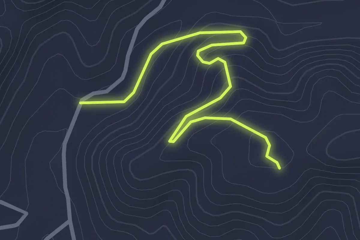
Easy · Trail
El Conuco-Monte del Orégano
3.3 km · ↑ 158 m · 1 h 7 min
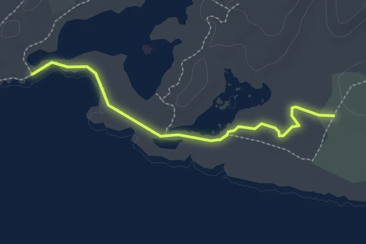
Easy · Trail
El Salitral
3.0 km · ↑ 36 m · 47 min
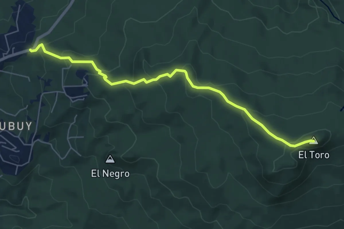
Demanding · Summit
El Toro Trail
7.5 km · ↑ 451 m · 2 h 46 min
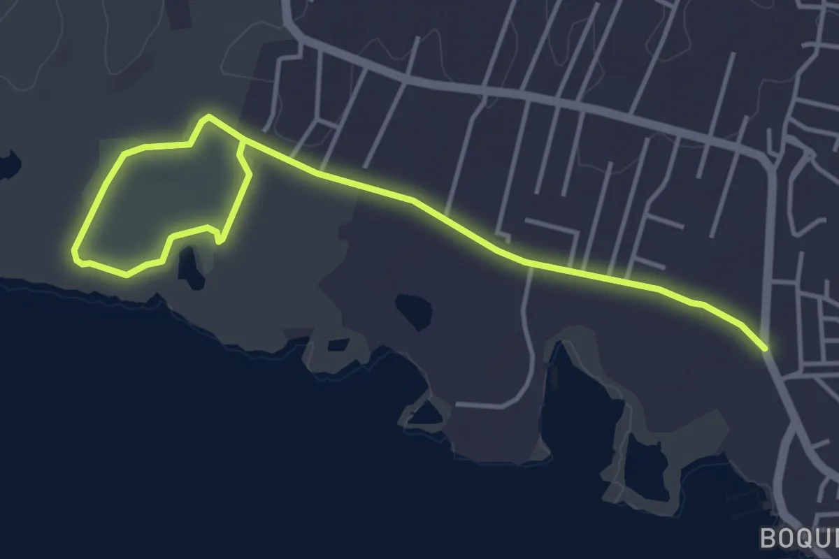
Easy · Trail
El Tren
6.8 km · ↑ 47 m · 1 h 43 min
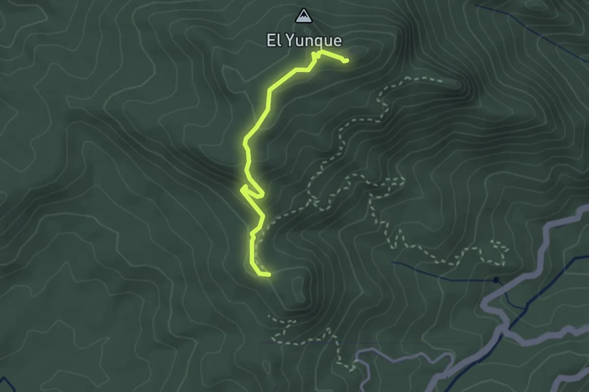
Easy · Trail
El Yunque Peak via Forest Service Road
3.1 km · ↑ 152 m · 1 h 3 min
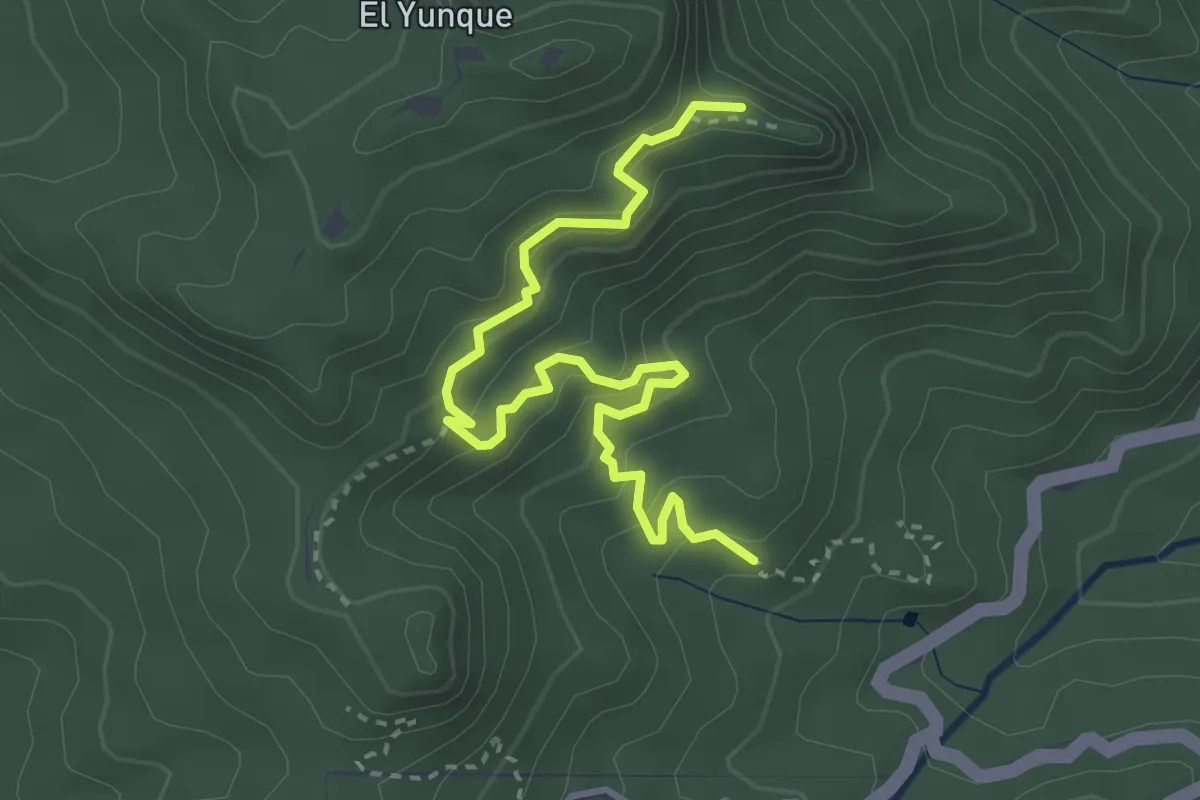
Medium · Summit
El Yunque Trail
4.9 km · ↑ 304 m · 1 h 49 min
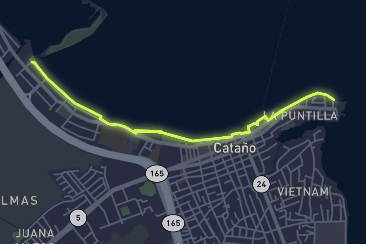
Medium · Trail
Frente marítimo de Cataño
11.7 km · ↑ 18 m · 2 h 48 min
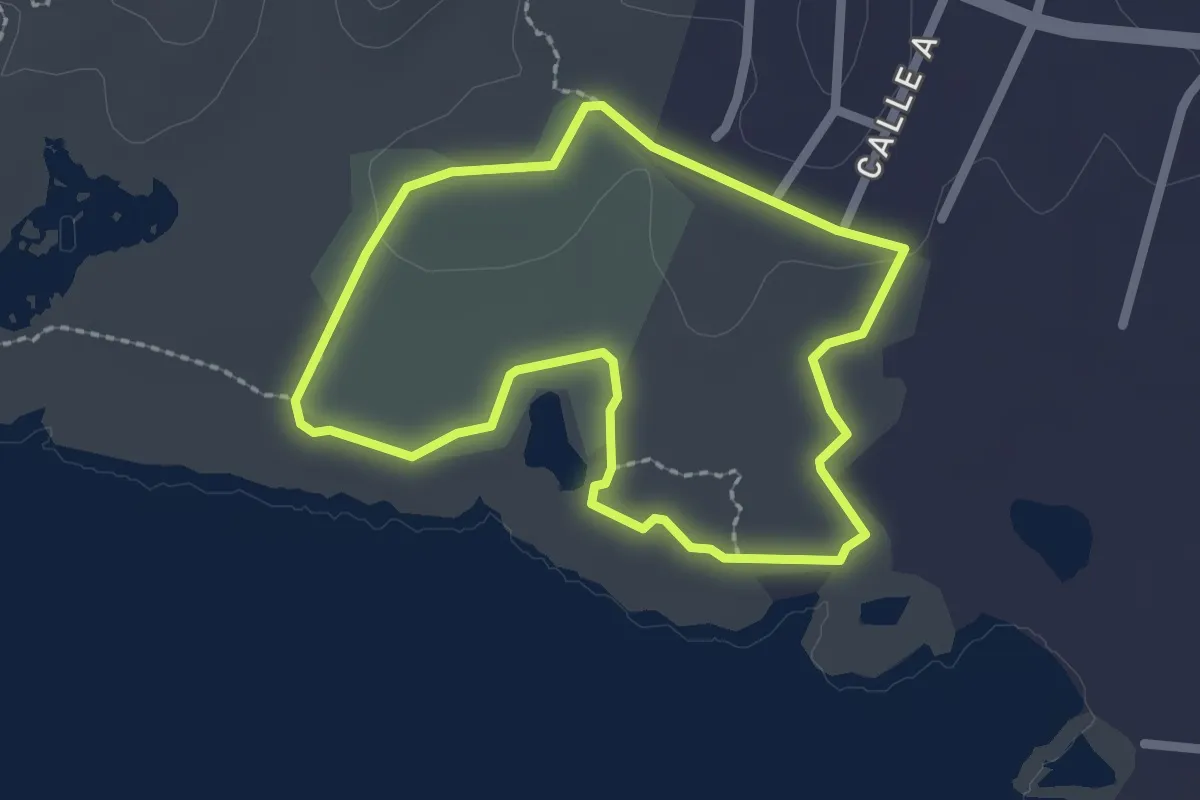
Easy · Trail
Guaniquilla Point Loop
2.8 km · ↑ 13 m · 44 min
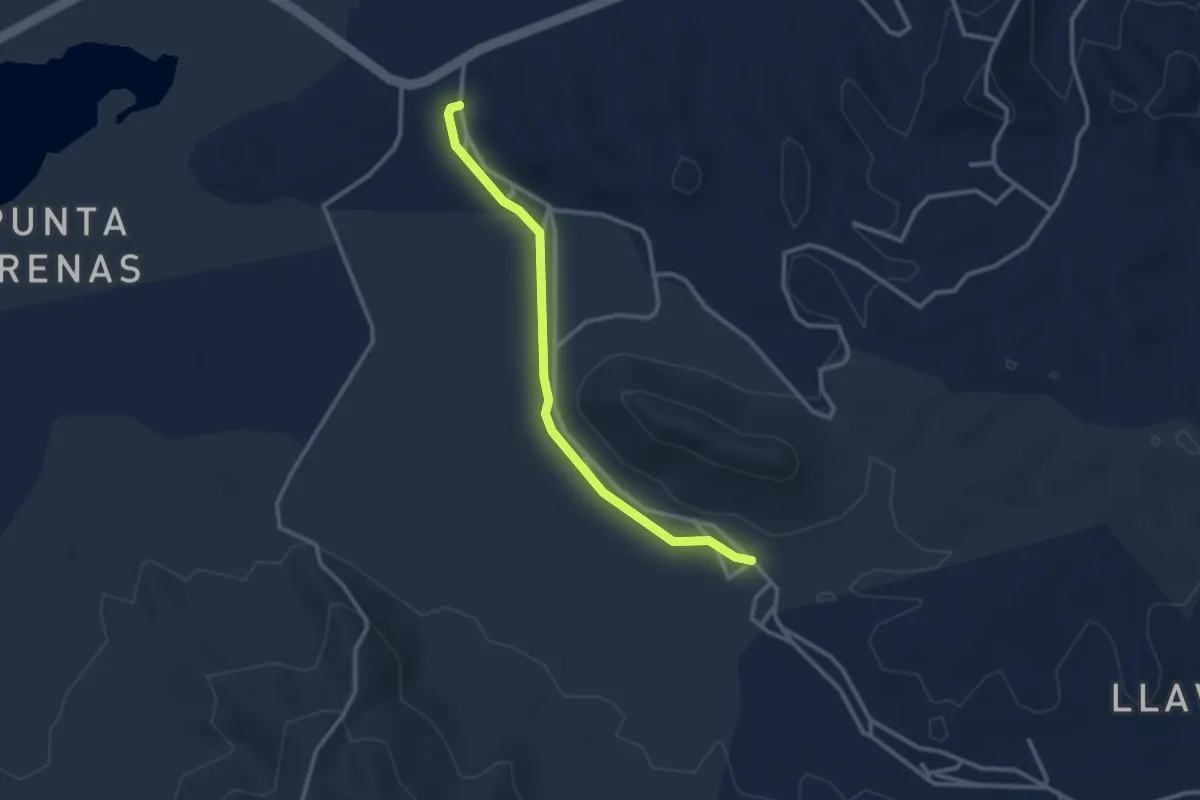
Easy · Trail
Hiking through the Military Bunkers
3.8 km · ↑ 27 m · 58 min
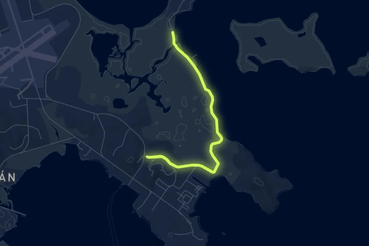
Medium · Trail
Humedal Los Machos
11.2 km · ↑ 101 m · 2 h 52 min
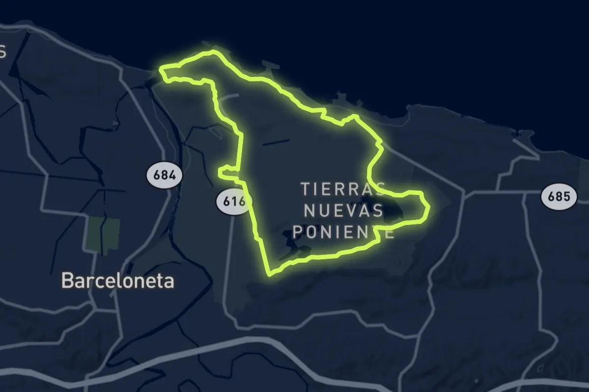
Medium · Trail
La Esperanza
12.6 km · ↑ 50 m · 3 h 16 min
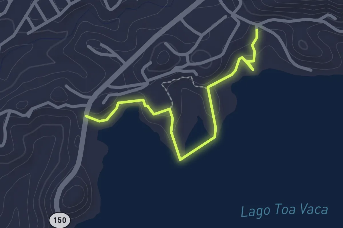
Easy · Trail
Lago Toa Vaca
3.0 km · ↑ 86 m · 54 min
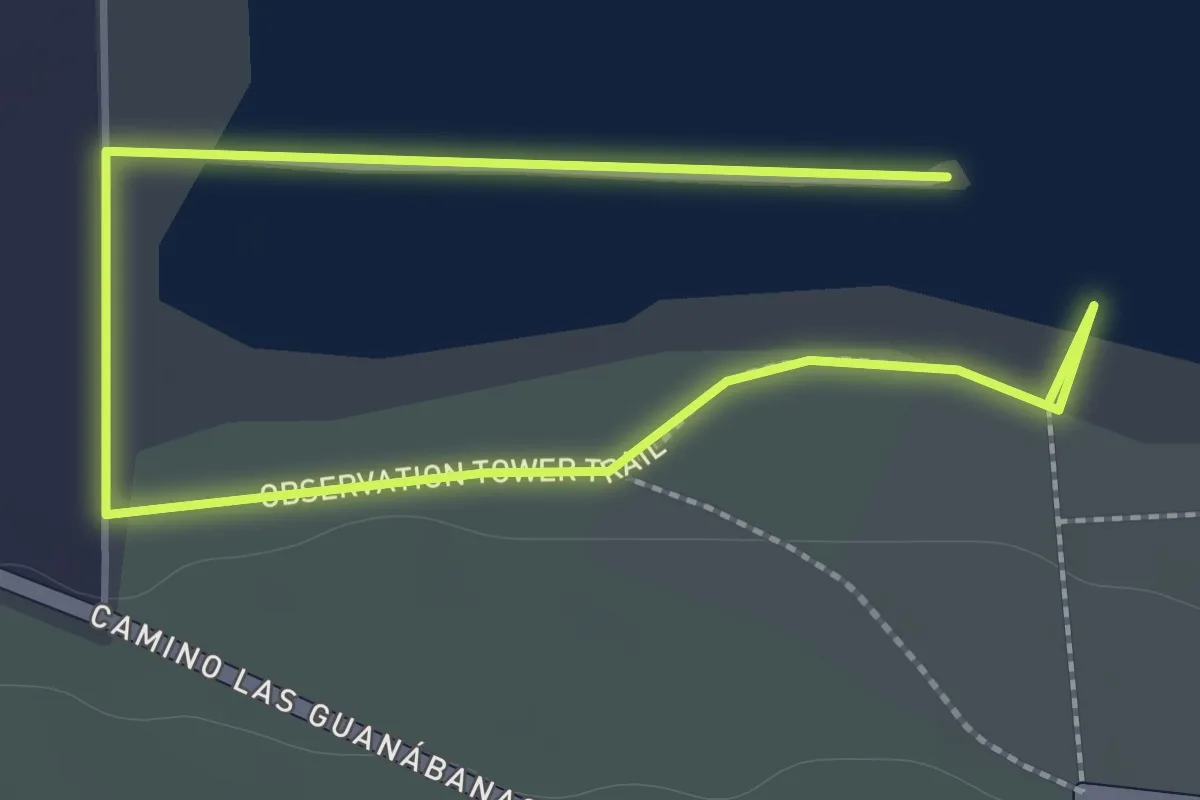
Easy · Trail
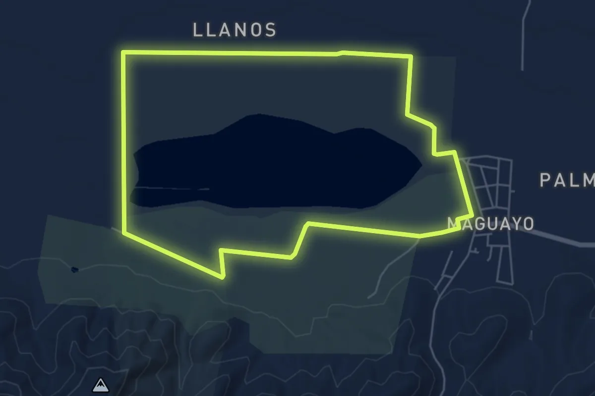
Laguna Cartagena Hiking Trail
3.3 km · ↑ 15 m · 49 min
Easy · Trail
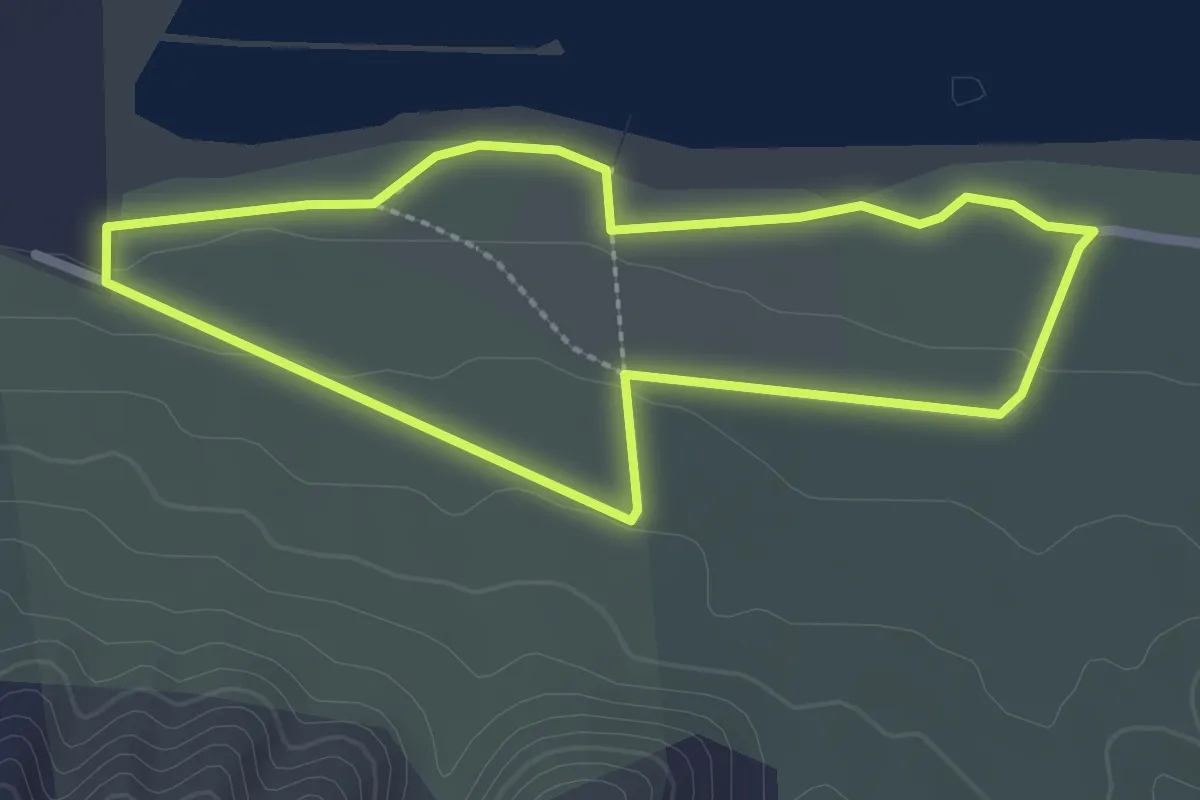
Laguna Cartagena Long Bike Trail
7.6 km · ↑ 35 m · 1 h 59 min
Easy · Trail
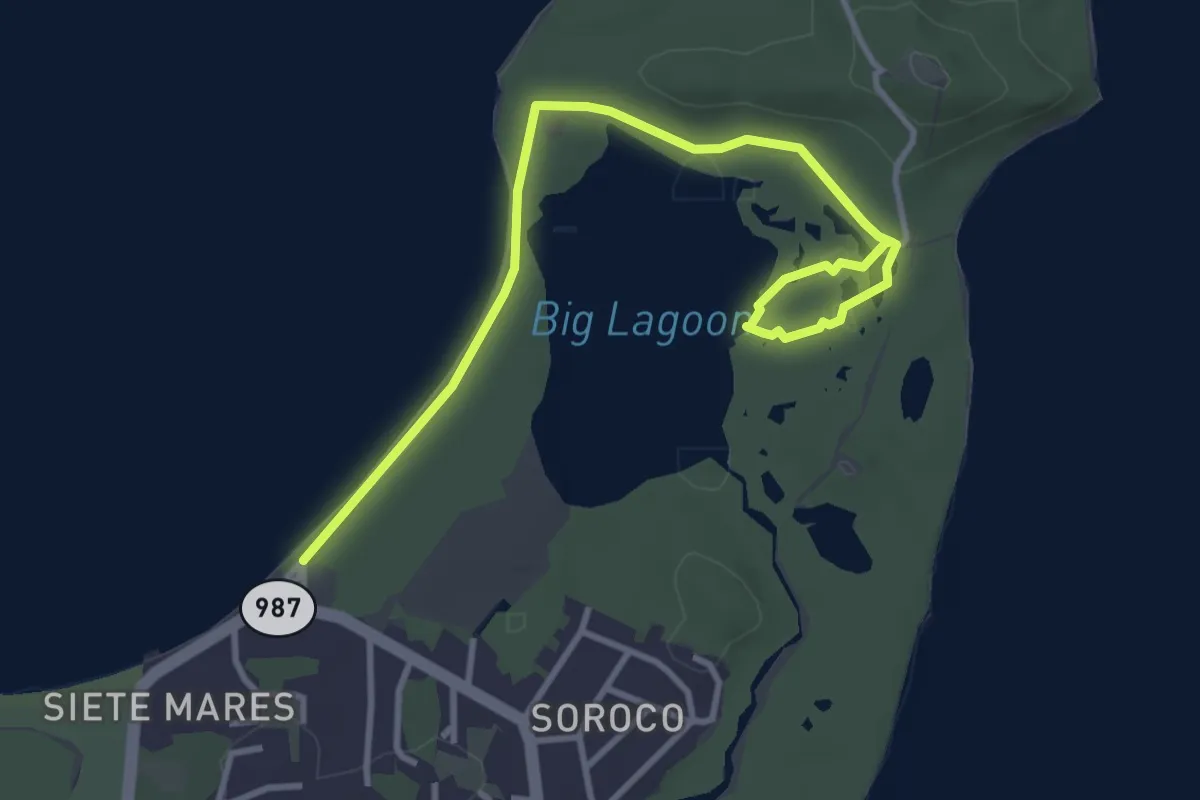
Laguna Cartagena Short Bike Trail
3.2 km · ↑ 21 m · 51 min
Easy · Trail
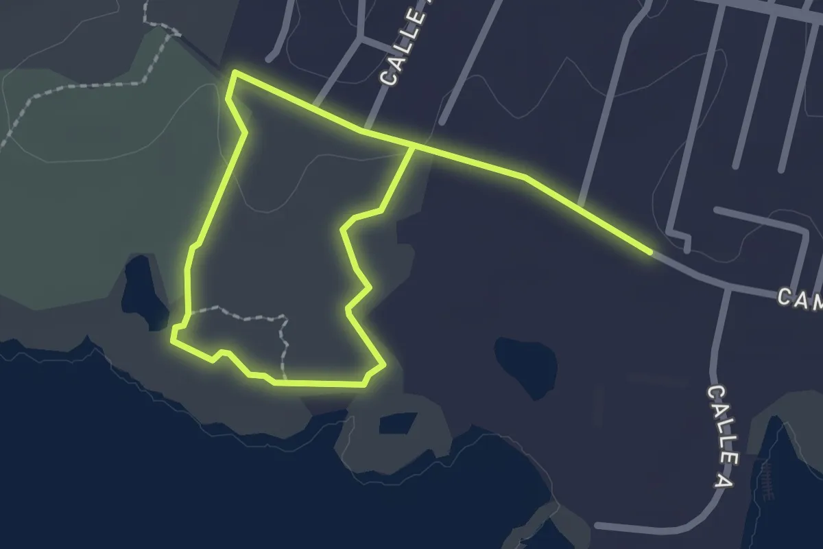
Laguna Grande
5.8 km · ↑ 47 m · 1 h 28 min
Easy · Trail
Las Caobas
4.5 km · ↑ 31 m · 1 h 8 min
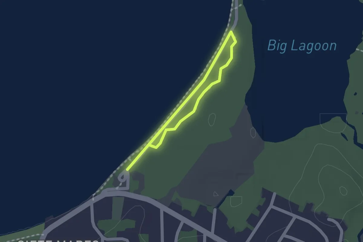
Easy · Trail
Los Almácigos
1.4 km · ↑ 5 m · 21 min
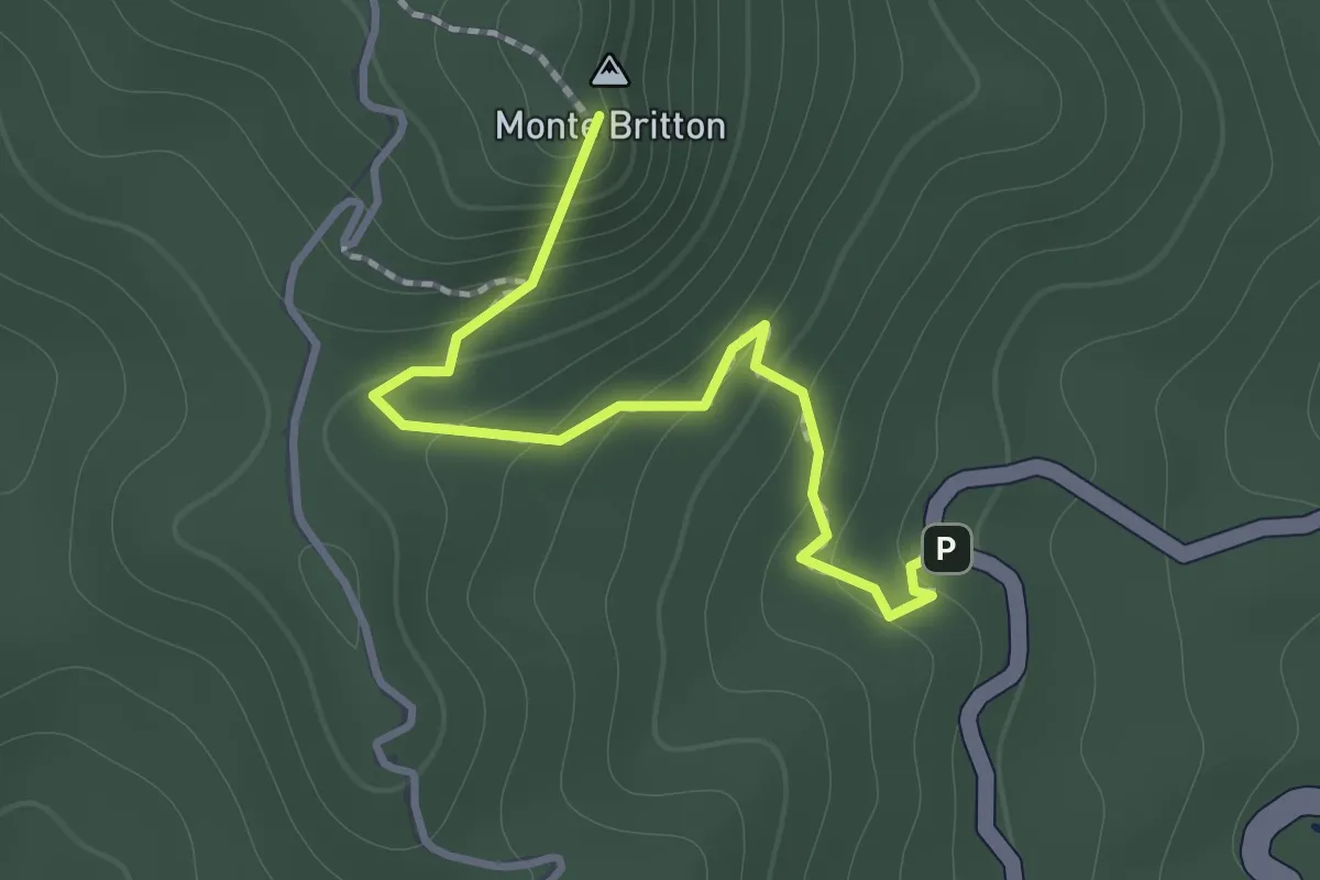
Medium · Summit
Mt Britton Trail
1.8 km · ↑ 163 m · 46 min
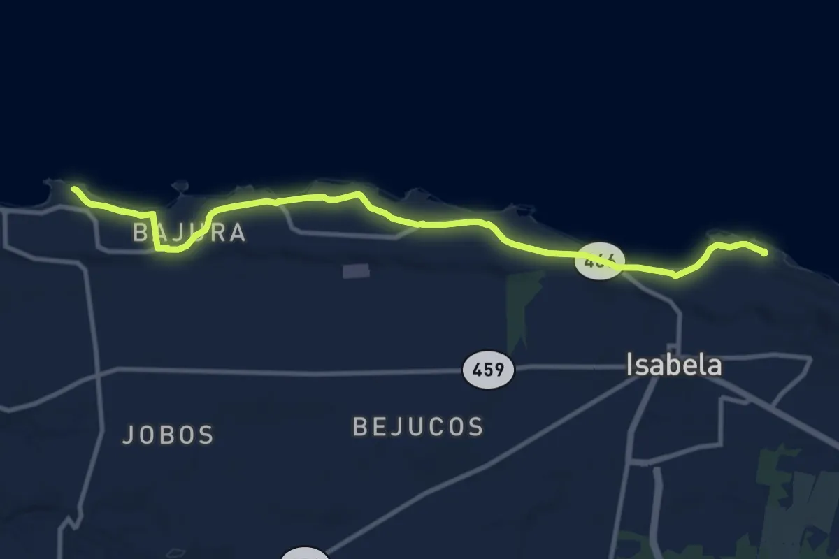
Medium · Trail
Paseo Lineal Costero de Isabela
15.4 km · ↑ 38 m · 3 h 43 min
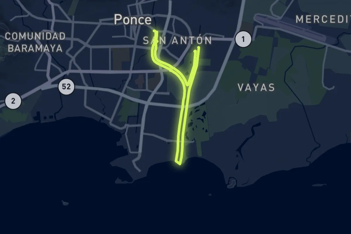
Demanding · Trail
Paseo Lineal Ponce
30.5 km · ↑ 26 m · 7 h 16 min
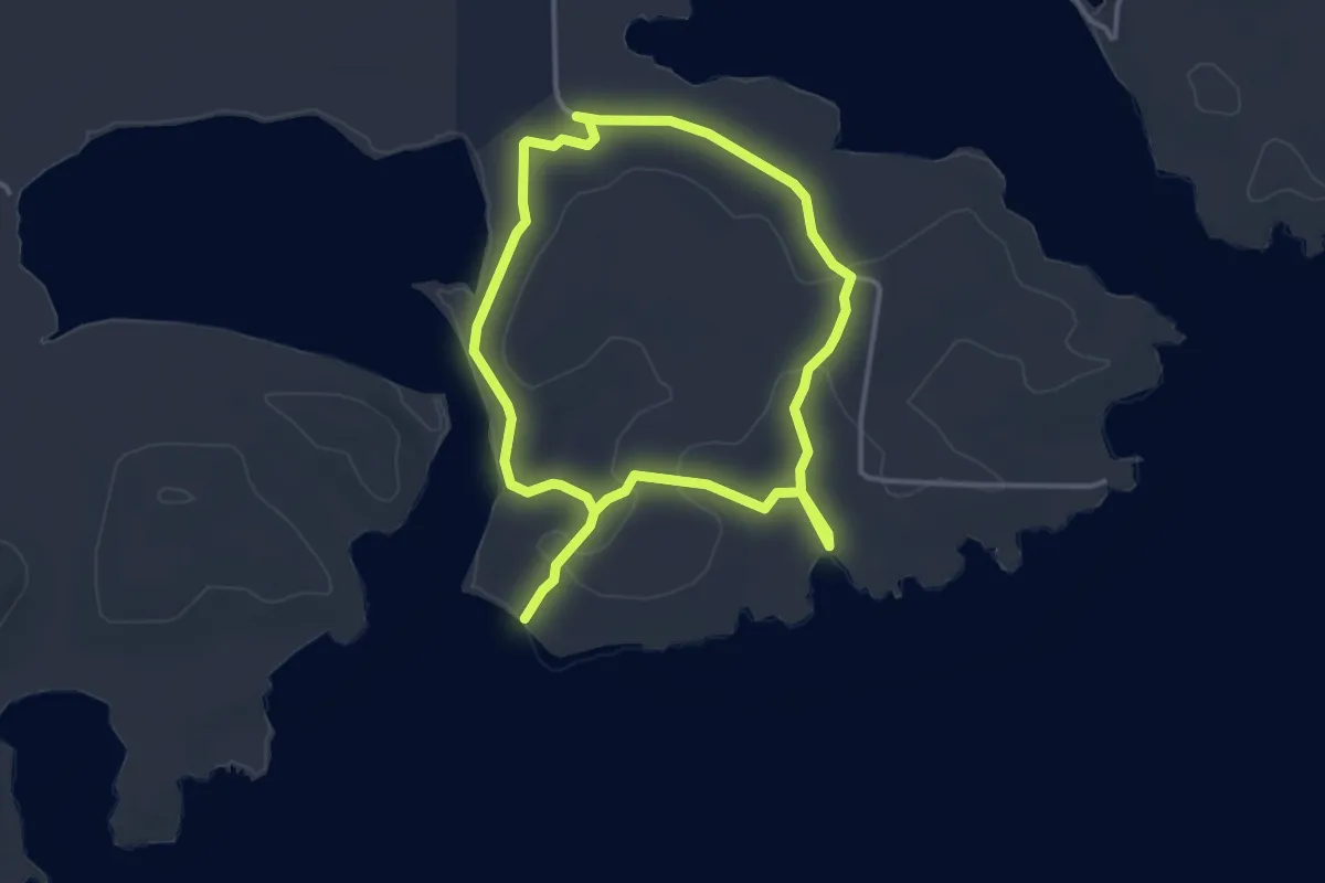
Medium · Trail
Playa Novillo - Ensenada Pirata
8.7 km · ↑ 96 m · 2 h 16 min
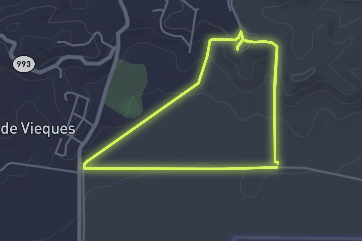
Medium · Trail
Puerto Mosquito NNL Trail Loop
13.0 km · ↑ 248 m · 3 h 37 min
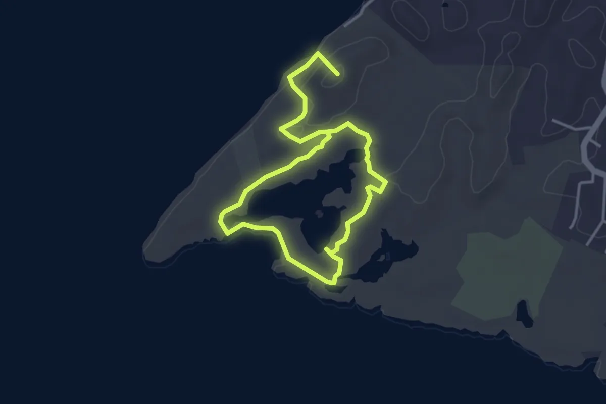
Easy · Summit
Punta Guaniquilla
7.4 km · ↑ 157 m · 2 h 5 min
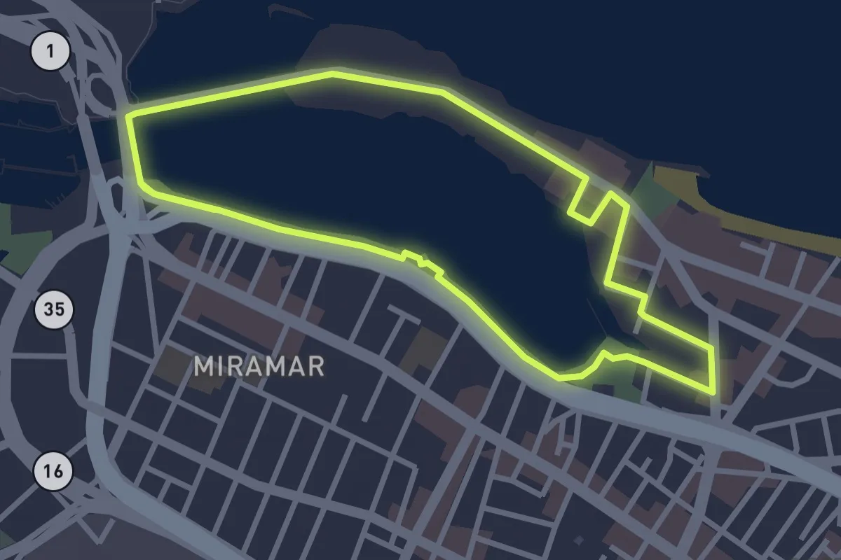
Easy · Trail
Recorrido Autoguiado Reserva Natural Estuarina de la Laguna del Condado
3.8 km · ↑ 19 m · 1 h
Easy · Trail
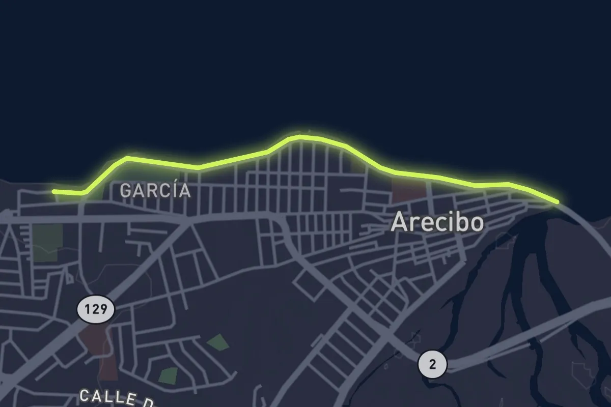
Recorrido Costa Arecibo
4.9 km · ↑ 10 m · 1 h 11 min
Medium · Trail
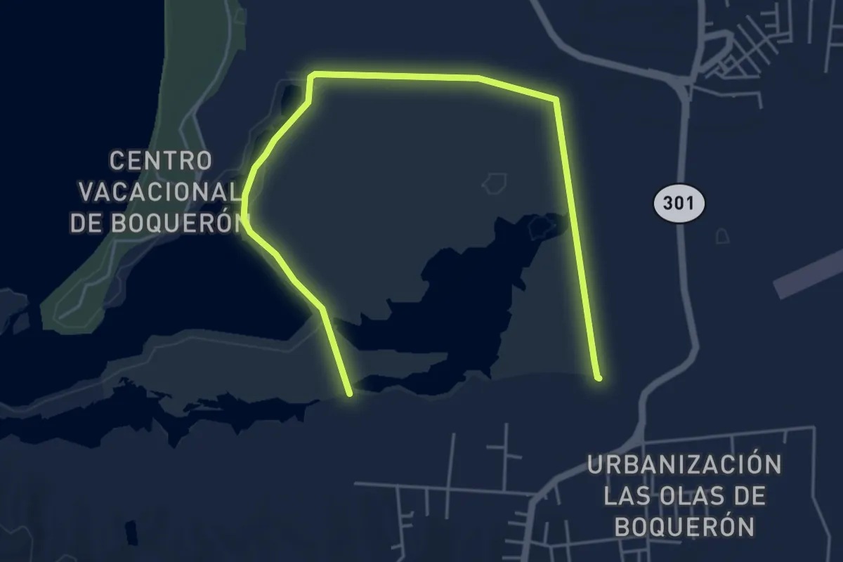
Refugio de Vida Silvestre Boquerón
8.4 km · ↑ 13 m · 2 h
Easy · Trail
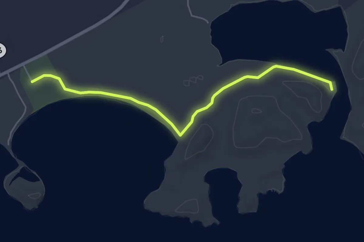
Ruta Puerto Mosquito
6.5 km · ↑ 20 m · 1 h 35 min
Easy · Trail
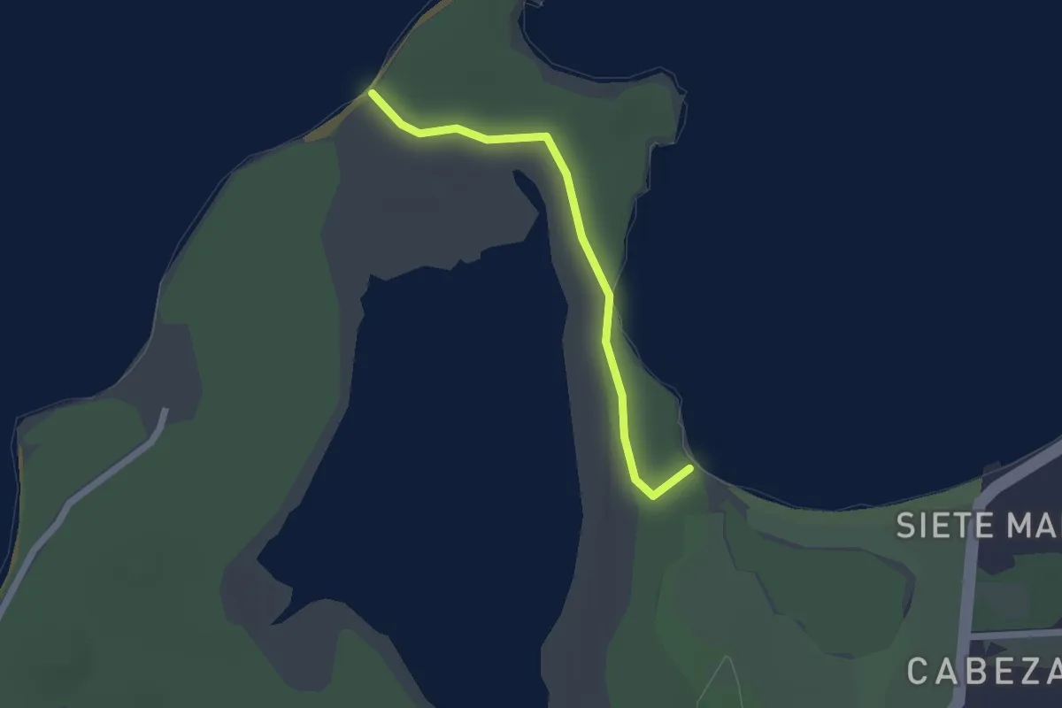
Seven Seas to Playa Colorá and Playa Escondida
2.4 km · ↑ 14 m · 36 min