Trails near Băile Herculane
29 hikes starting within 15 km, nearest first.
Nearest first
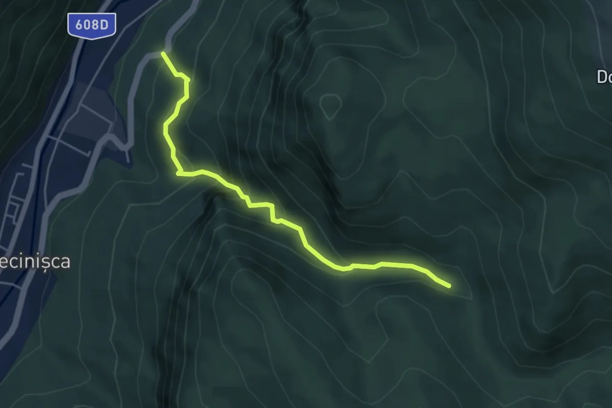
Demanding · Trail
Cheile Feregari - Poiana Stiubei
4.4 km · ↑ 426 m · 1 h 58 min · 1 km away
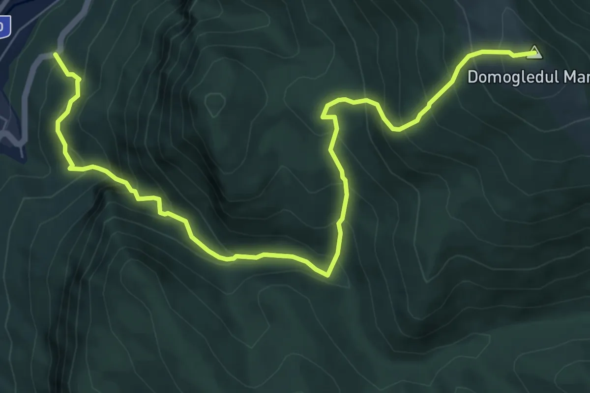
Demanding · Summit
Băile Herculane (DN67D) - Vârful Domogledul Mare (1105 m)
8.9 km · ↑ 910 m · 4 h 4 min · 1 km away
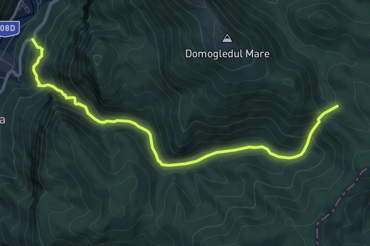
Demanding · Trail
Băile Herculane (DN67D) – Poiana Mușuroane
10.6 km · ↑ 761 m · 4 h 9 min · 1 km away
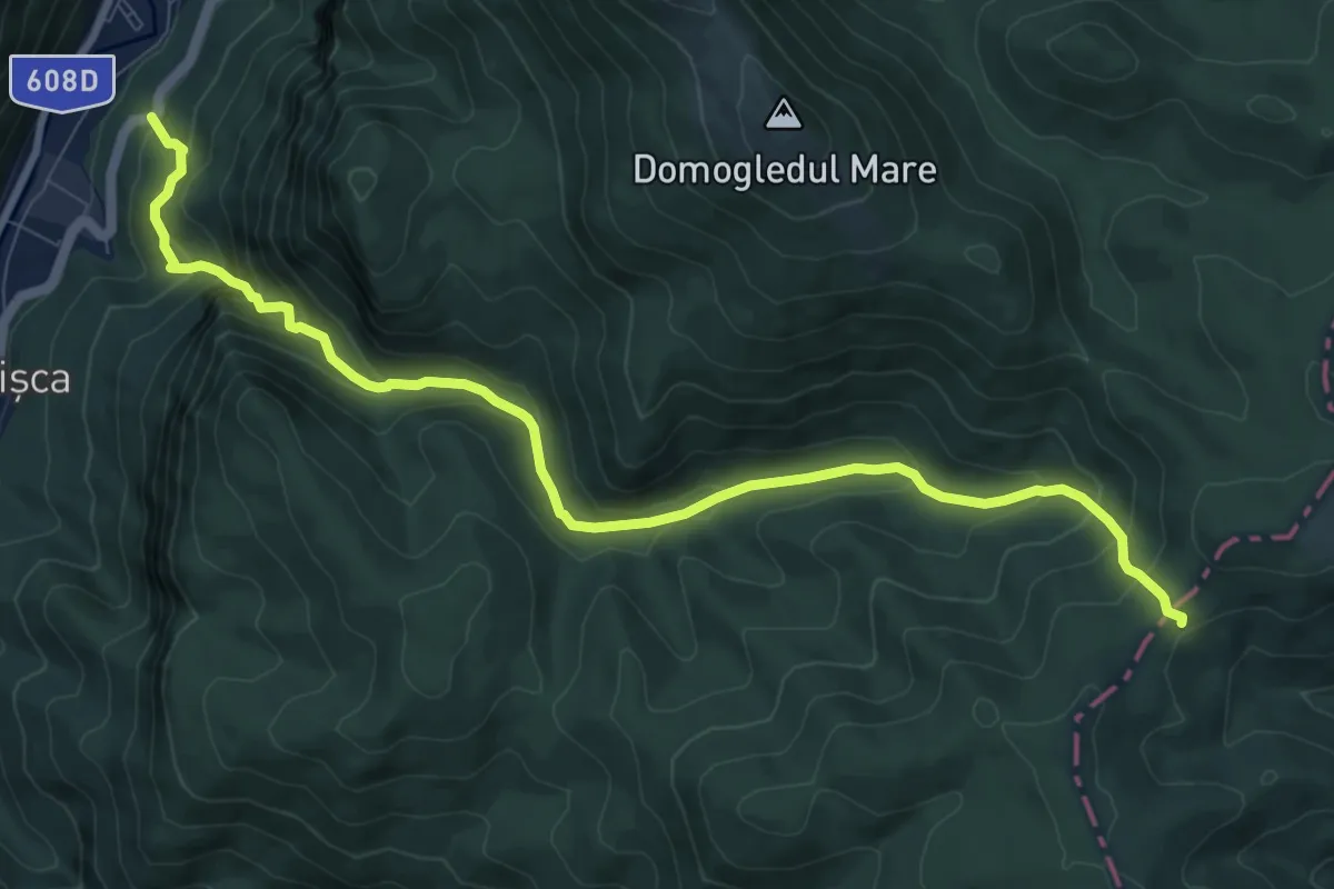
Demanding · Trail
Băile Herculane (DN67D) – Creasta Munților Mehedinți
10.7 km · ↑ 778 m · 4 h 13 min · 1 km away
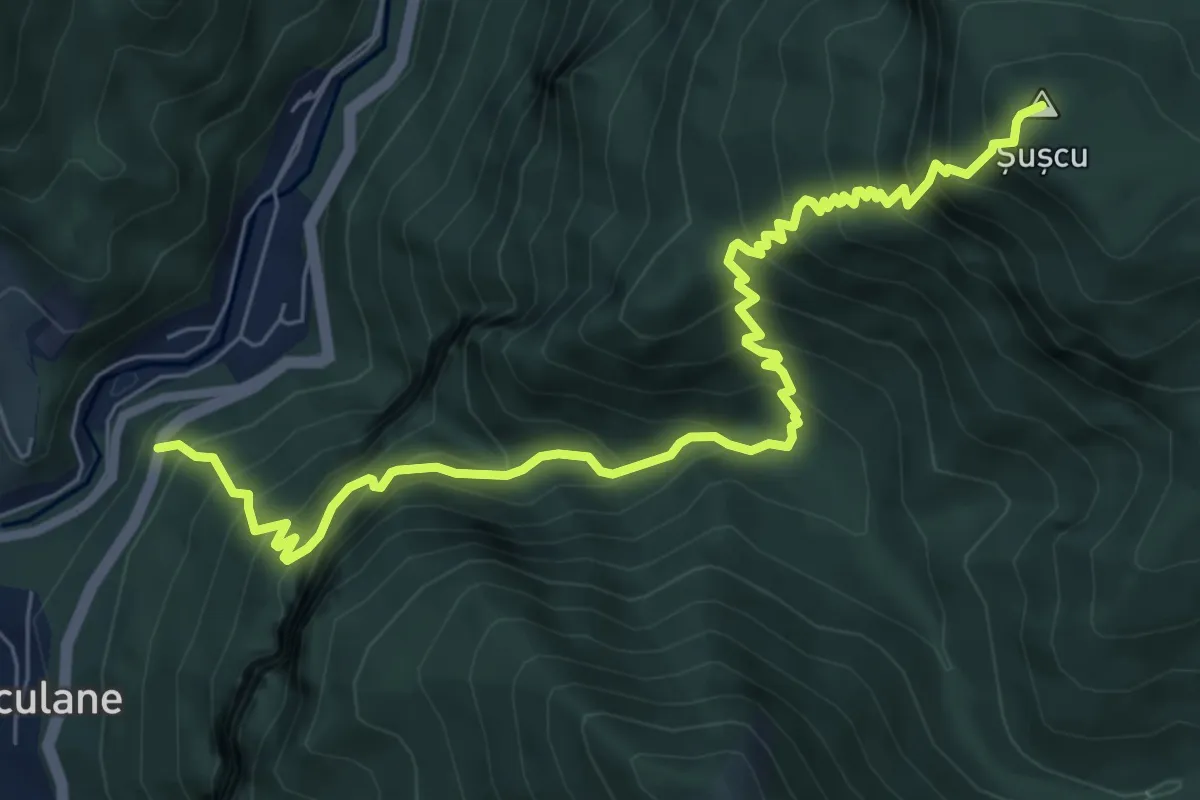
Demanding · Summit
Băile Herculane (DN67D) - Vârful Șușcu (1192 m)
8.4 km · ↑ 1126 m · 4 h 26 min · 1 km away
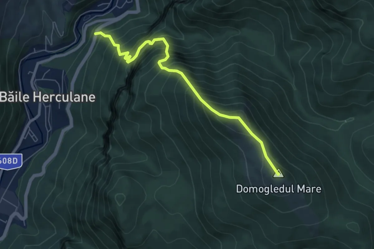
Demanding · Summit
Băile Herculane (DN67D) - Poiana Mușuroane
6.3 km · ↑ 1057 m · 3 h 47 min · 1 km away
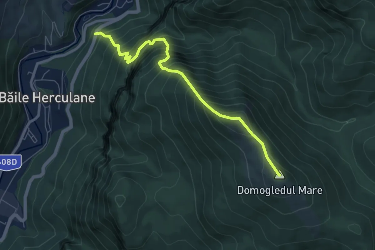
Demanding · Summit
Băile Herculane (DN67D) - Vârful Domogledul Mare (1105 m)
6.3 km · ↑ 1056 m · 3 h 47 min · 1 km away
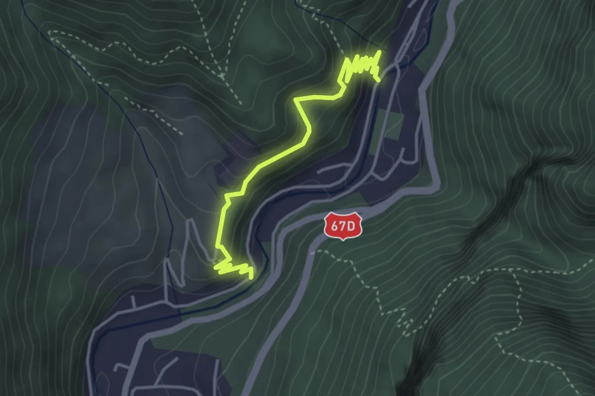
Easy · Trail
Băile Herculane (Cartier Zăvoi) - Platoul Coronini - Foișorul Verde - Izvorul Diana III
4.0 km · ↑ 286 m · 1 h 34 min · 1 km away
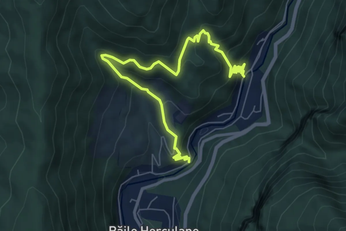
Demanding · Trail
Băile Herculane (Cartier Zăvoi) - Platoul Coronini - Izvorul Coronini - Izvorul Munk - Izvorul Diana III
7.5 km · ↑ 547 m · 2 h 57 min · 1 km away
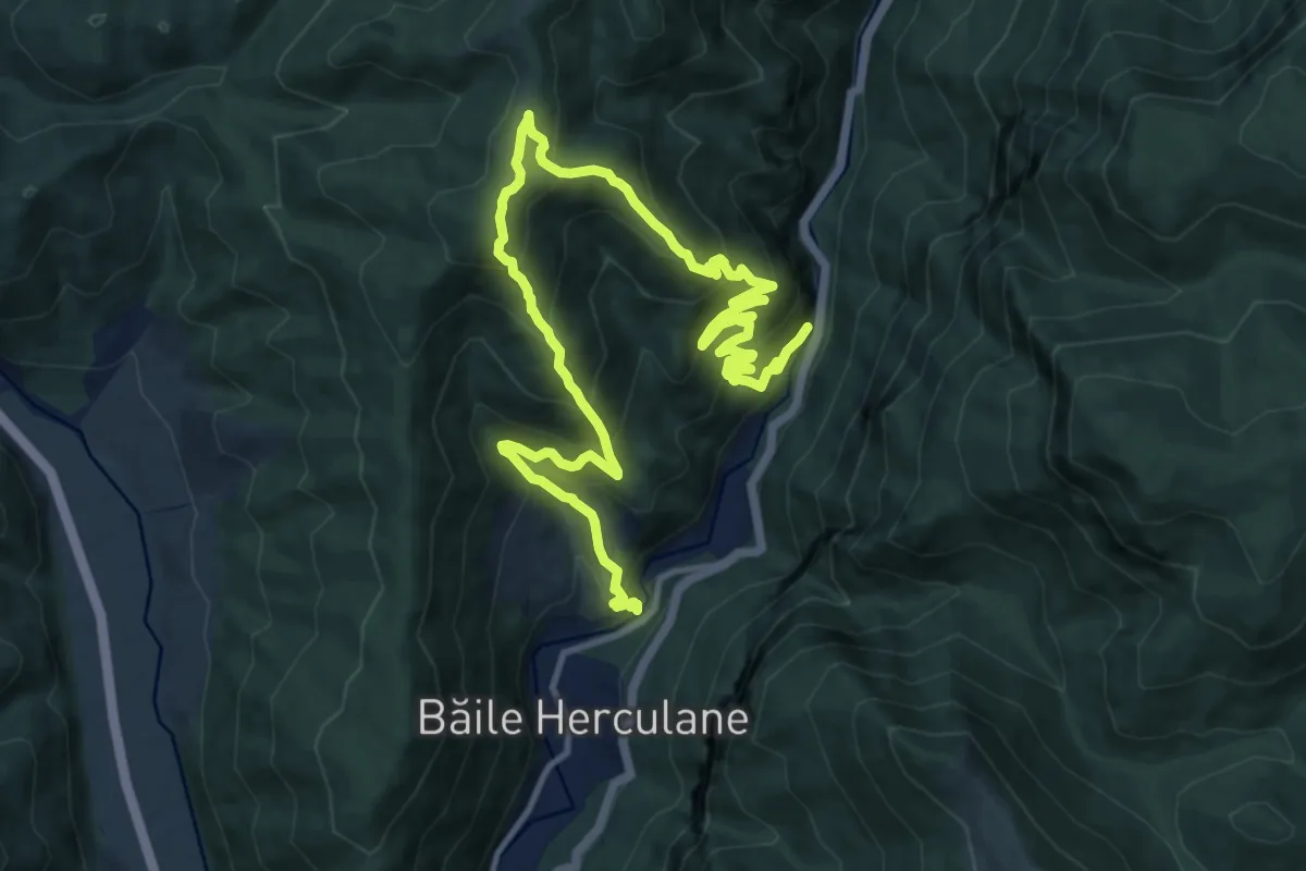
Demanding · Trail
Băile Herculane (Cartier Zăvoi) - Platoul și Izvorul Coronini - Cracul lui Arendașu -Poiana cu Peri - Vf. Elisabeta - Vf.Ciorici -Grota cu Aburi - Grota Haiducilor - Hotel Roman
17.9 km · ↑ 1481 m · 7 h 27 min · 2 km away
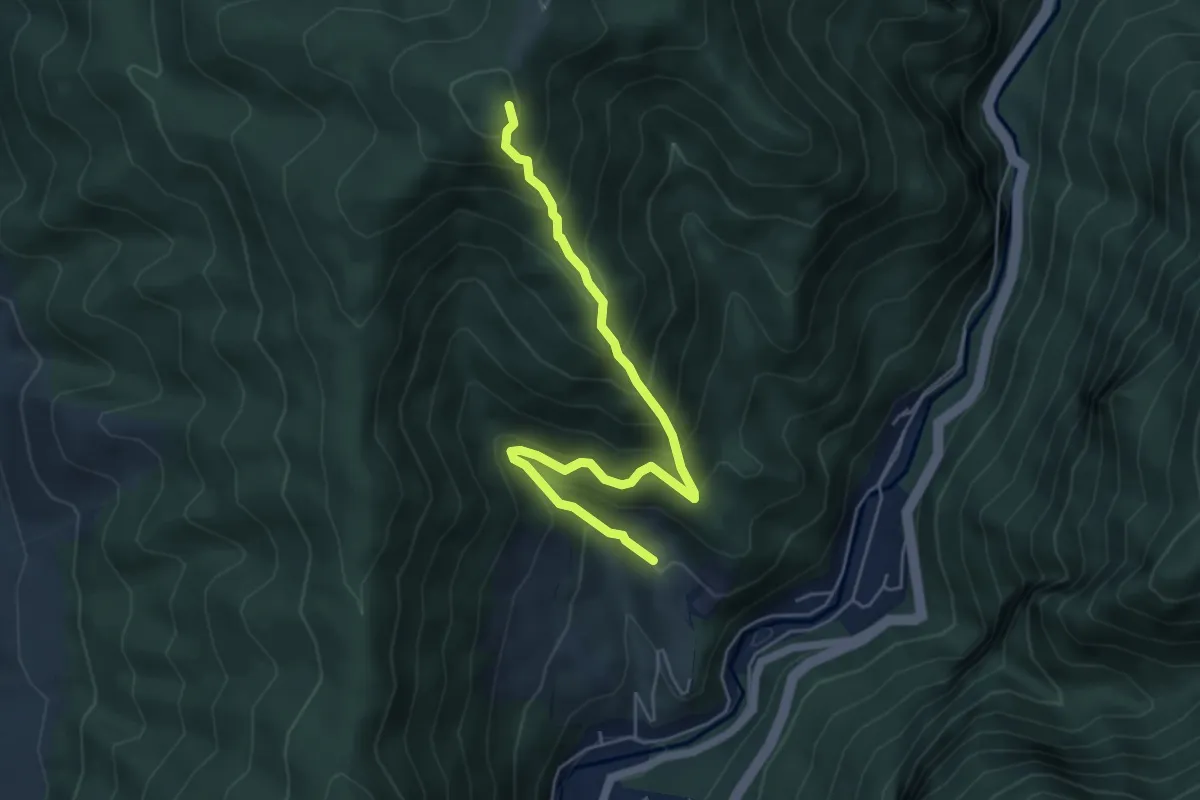
Demanding · Trail
Platoul Coronini - Cracu lui Arendașu - Poiana cu Peri
5.6 km · ↑ 611 m · 2 h 38 min · 3 km away
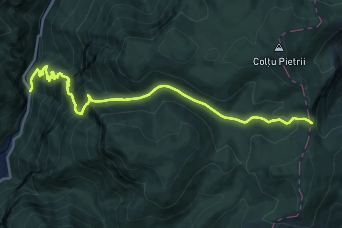
Demanding · Trail
Băile Herculane (DN67D) în dreptul Hidrocentralei - Creasta Munților Mehedinți
14.2 km · ↑ 1004 m · 5 h 31 min · 3 km away
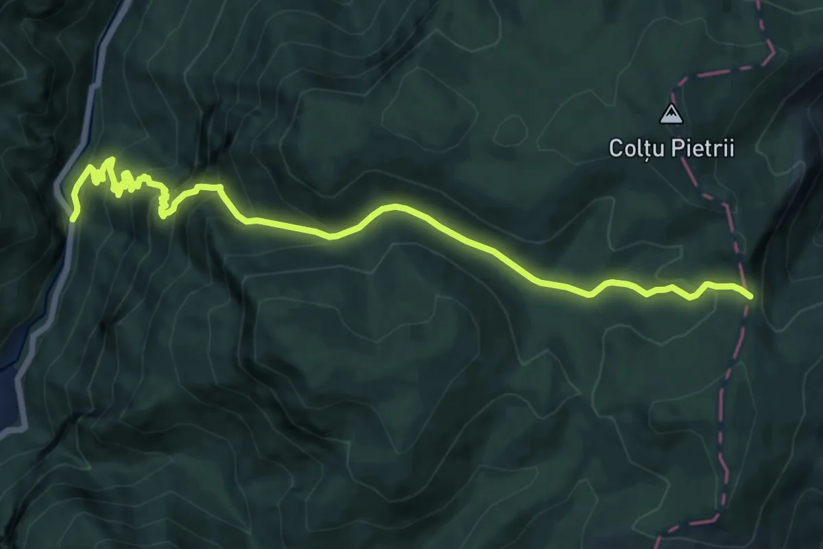
Demanding · Trail
Băile Herculane (DN67D) în dreptul Hidrocentralei - Creasta Munților Mehedinți
13.5 km · ↑ 924 m · 5 h 11 min · 3 km away
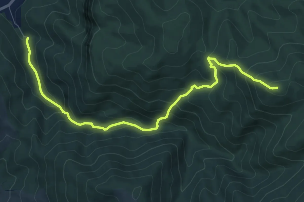
Medium · Summit
Băile Herculane (DN67D) - Creasta Munților Mehedinți
9.5 km · ↑ 694 m · 3 h 45 min · 3 km away
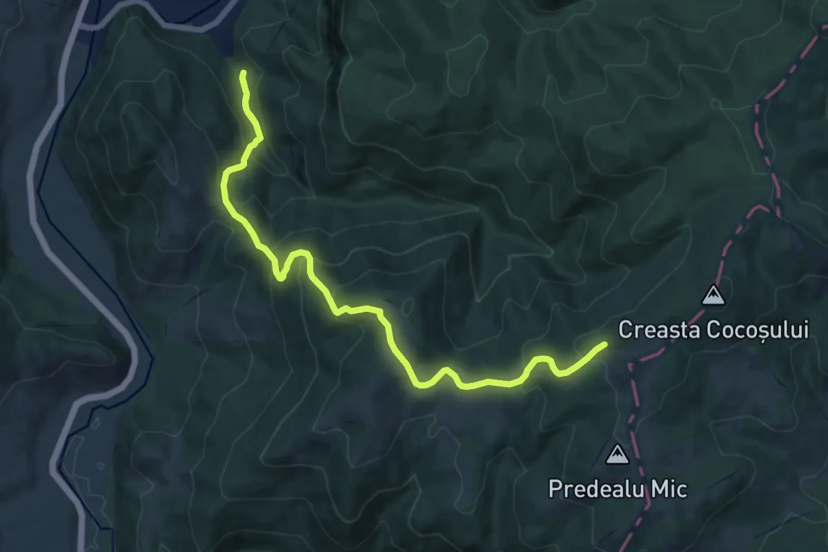
Medium · Trail
Băile Herculane (DN67D) - Creasta Munților Mehedinți
12.9 km · ↑ 796 m · 4 h 46 min · 3 km away
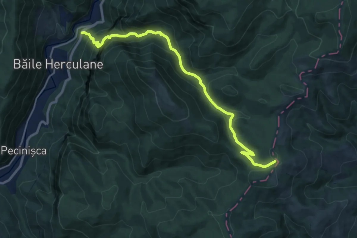
Demanding · Trail
Băile Herculane (DN67D) - Creasta Munților Mehedinți
13.2 km · ↑ 839 m · 4 h 56 min · 5 km away
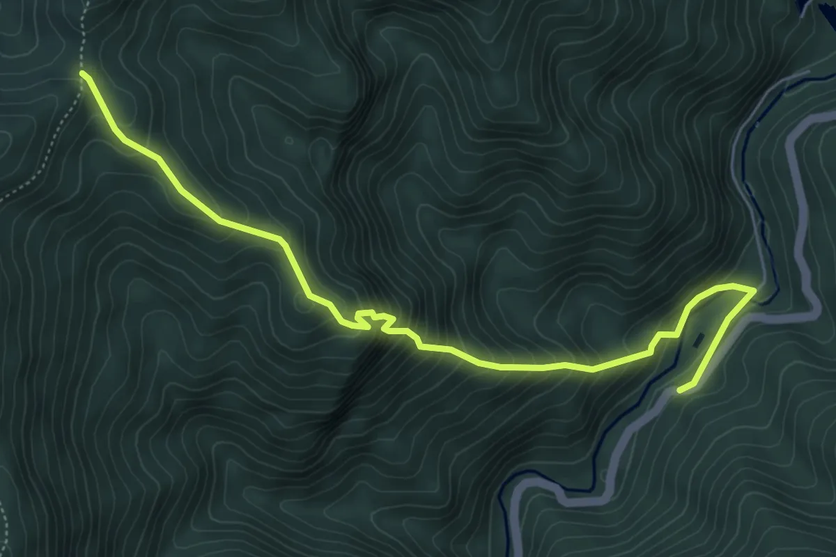
Medium · Trail
Șapte Izvoare Calde (DN67D) - Poiana Culmea Mare
6.6 km · ↑ 586 m · 2 h 50 min · 5 km away
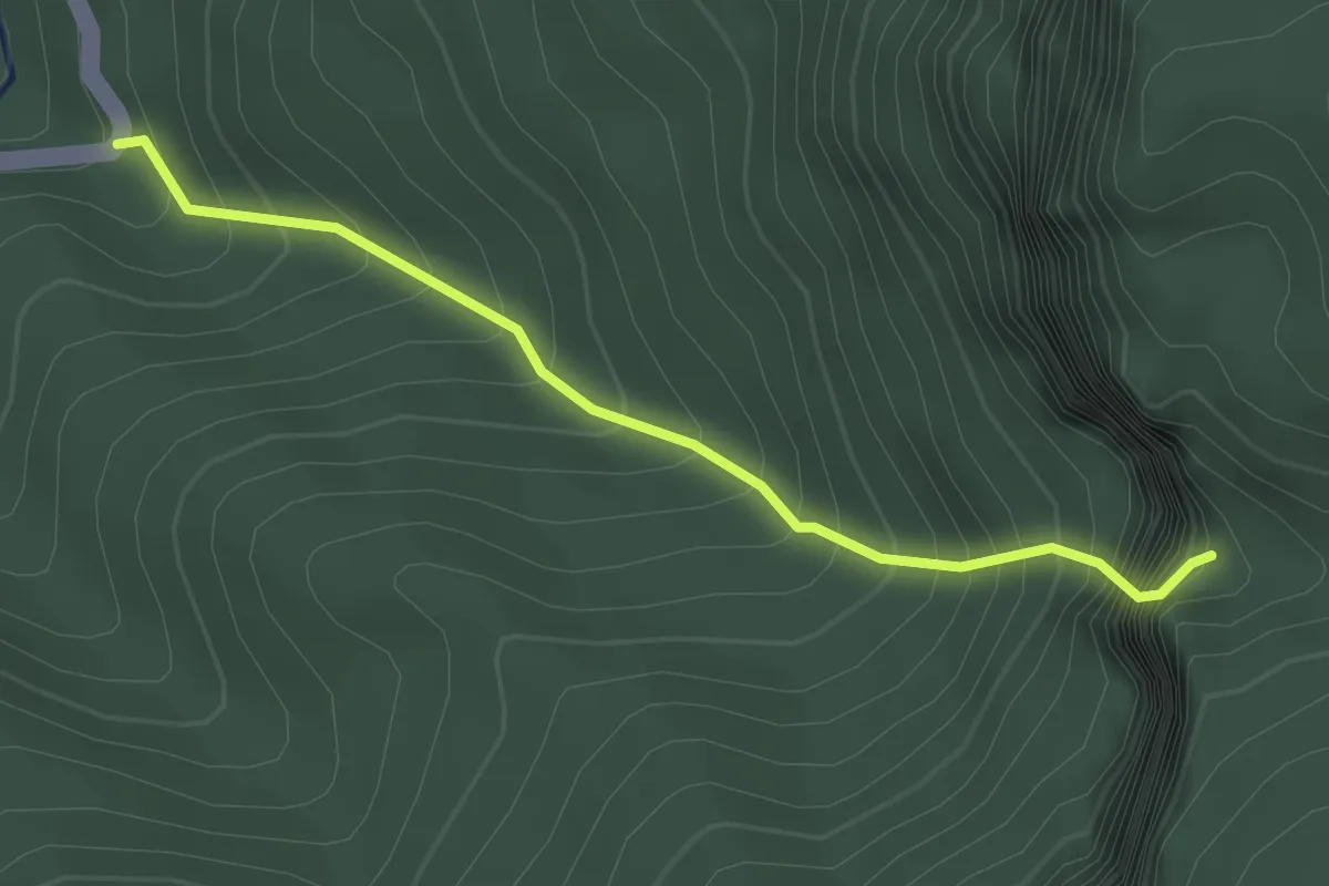
Medium · Trail
Băile Herculane (DN 67D) în dreptul crucii Ghizelei - Cascada Cociului (Roșeț)
2.9 km · ↑ 562 m · 1 h 54 min · 6 km away
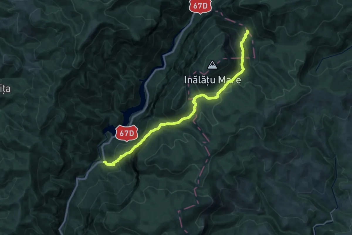
Demanding · Trail
Băile Herculane (DN 67D) în dreptul crucii Ghizelei - Cheile Țăsnei
16.8 km · ↑ 1193 m · 6 h 33 min · 6 km away
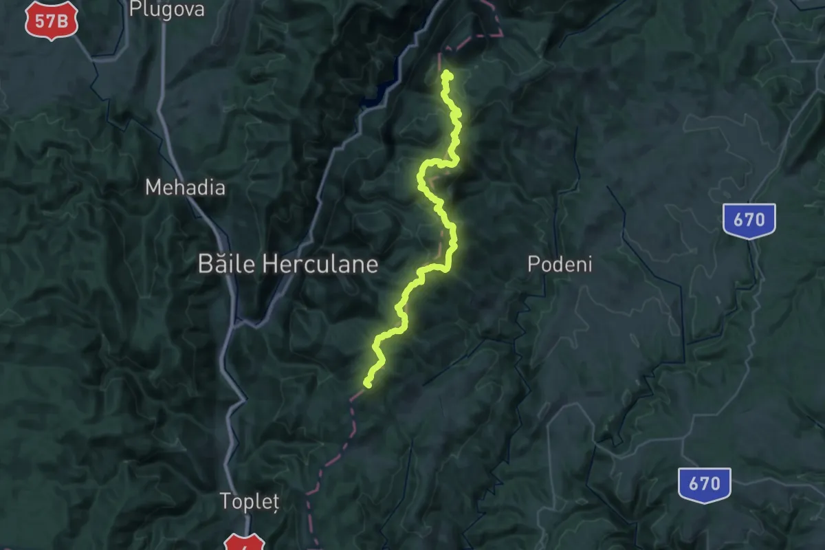
Demanding · Summit
Băile Herculane (DN67D) - Poiana Balta Cerbului
37.2 km · ↑ 1281 m · 11 h 34 min · 9 km away
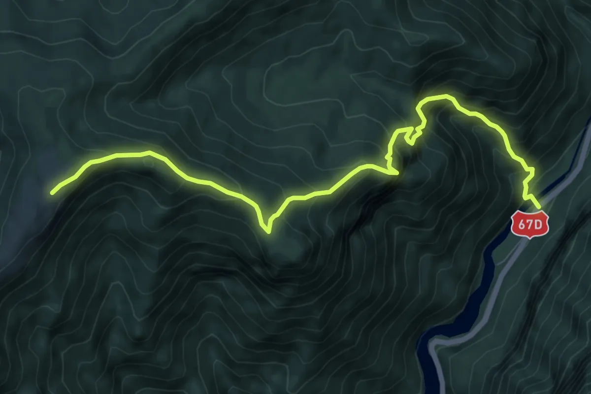
Demanding · Trail
Podul Vânturătorii (DN67D) - Poiana Cicilovete
9.8 km · ↑ 1111 m · 4 h 43 min · 11 km away
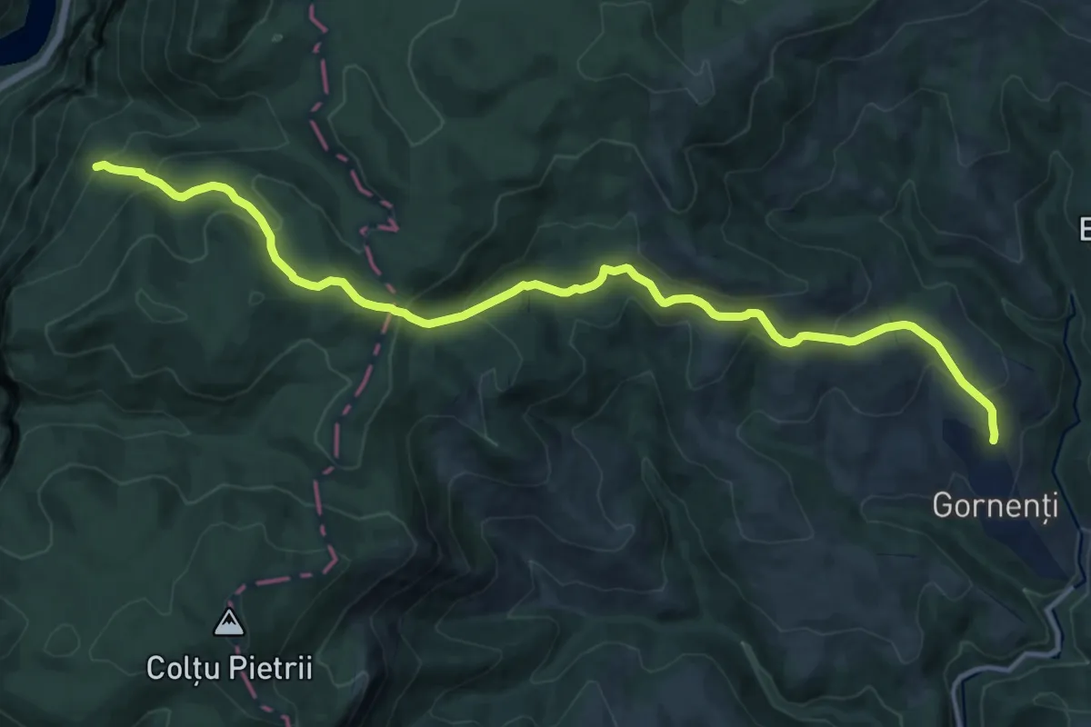
Medium · Trail
Intersecție traseu 14 TA (sub vârful Cociu) - Gornenți
14.6 km · ↑ 791 m · 5 h 10 min · 11 km away
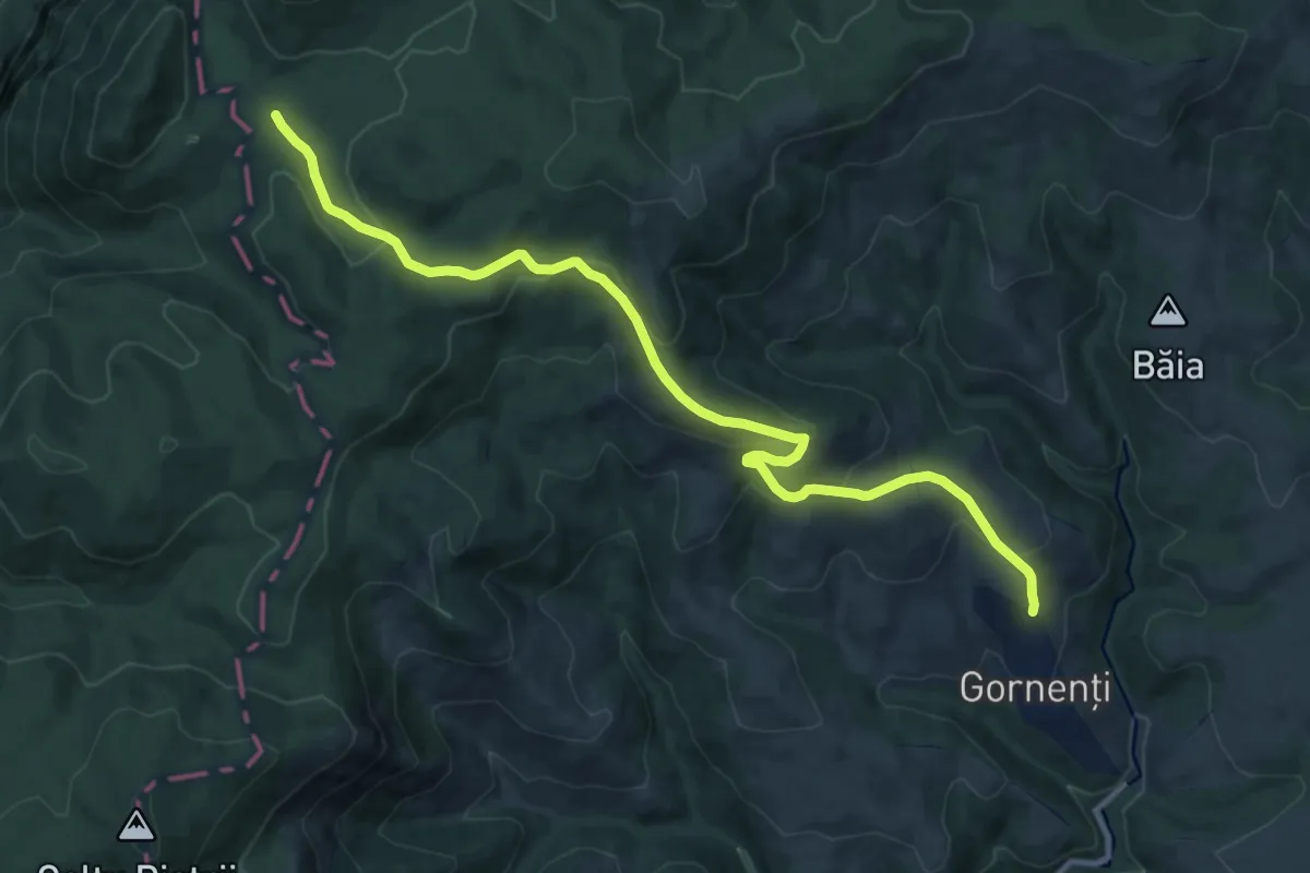
Medium · Trail
Gornenți - Poiana Balta Cerbului
13.1 km · ↑ 444 m · 4 h 3 min · 11 km away
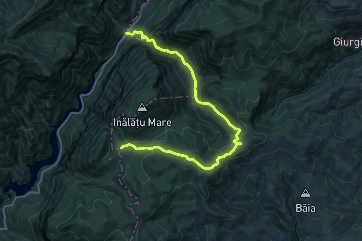
Demanding · Trail
Motel Dumbrava (Km 18 DN67D) - Poiana Balta Cerbului
19.0 km · ↑ 1098 m · 6 h 52 min · 12 km away
Demanding · Trail
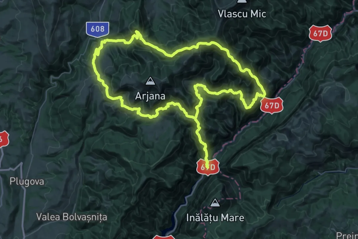
Podul Țăsnei - Motel Dumbravă (Km 18 DN67D)
37.5 km · ↑ 2423 m · 14 h 19 min · 12 km away
Expert · Summit
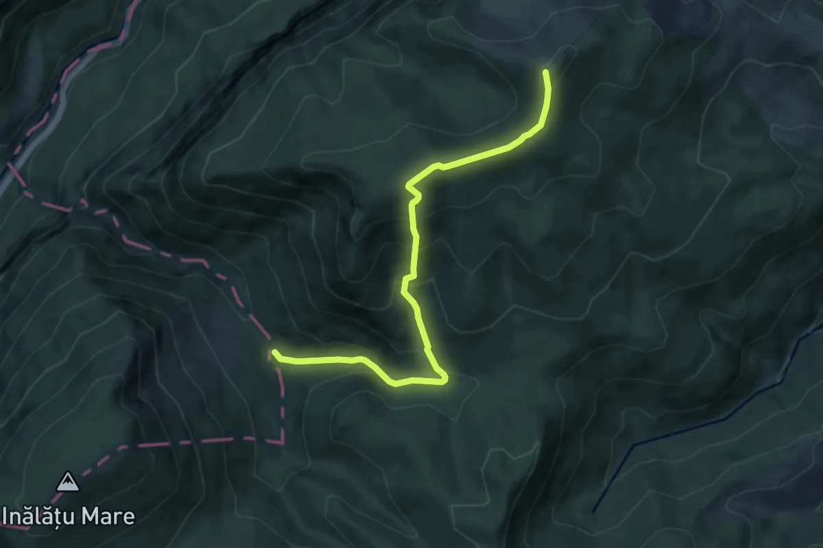
Piatra Pușcată / Confluența Tâmnei cu Cerna (km 26) - Km 18 DN67D (Motel Dumbrava)
8.5 km · ↑ 644 m · 3 h 24 min · 12 km away
Medium · Summit
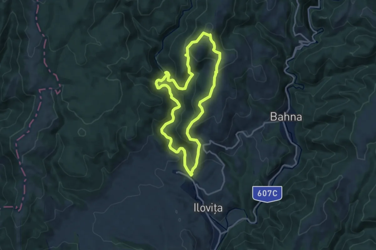
Traseul ecoturistic Racovăț-Boldovin (red dot)
10.3 km · ↑ 502 m · 3 h 40 min · 12 km away
Demanding · Trail
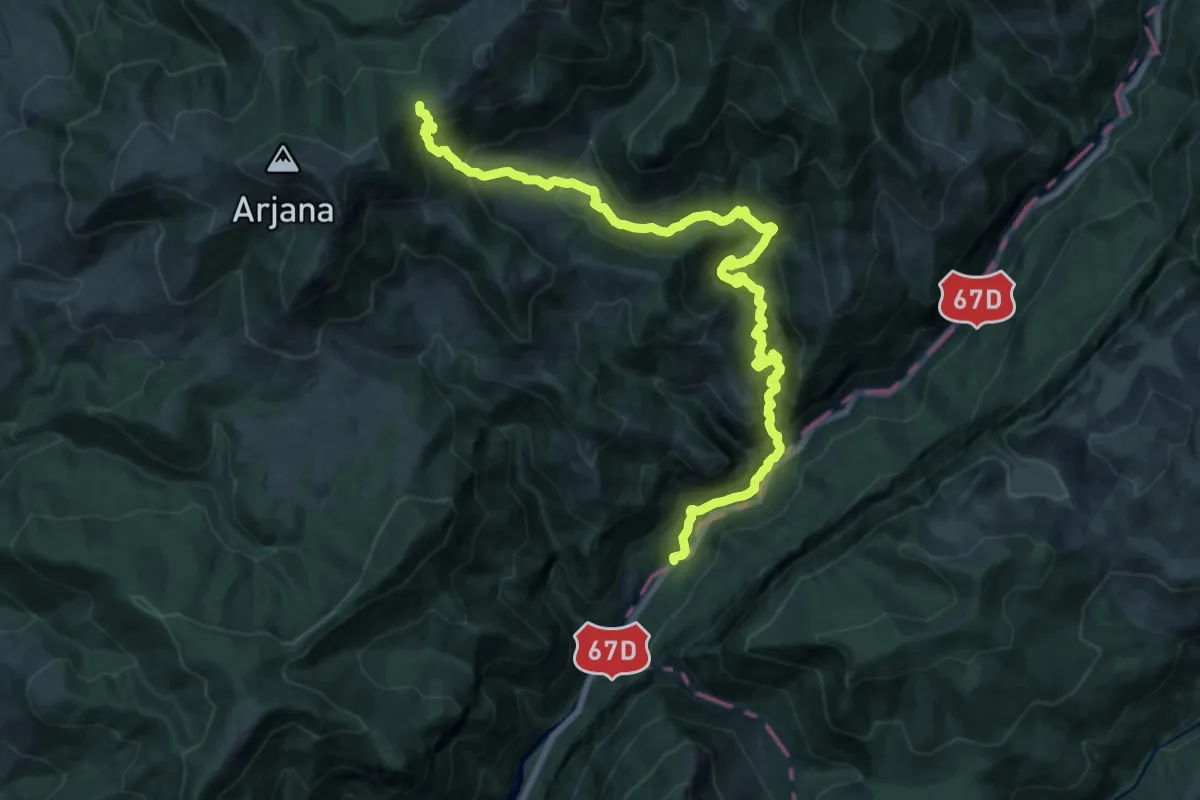
Podul Țăsnei - Șaua Prislop
10.8 km · ↑ 1432 m · 5 h 19 min · 13 km away
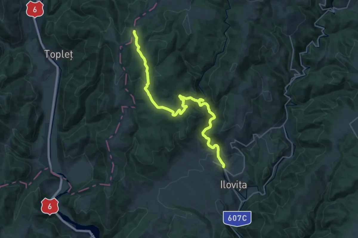
Demanding · Trail
red triangle
19.4 km · ↑ 727 m · 6 h 9 min · 14 km away