Trails near Băile Tușnad
33 hikes starting within 15 km, nearest first.
Nearest first
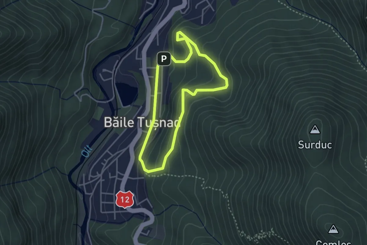
Easy · Trail
oraș Băile Tușnad - Turnul Apor - oraș Băile Tușnad
2.9 km · ↑ 188 m · 1 h 8 min · under 1 km away
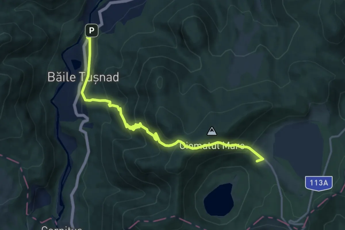
Demanding · Trail
oraș Băile Tușnad - sub Vf. Ciomatul Mic - Cabana Lacul Sfânta Ana
11.3 km · ↑ 815 m · 4 h 26 min · 1 km away
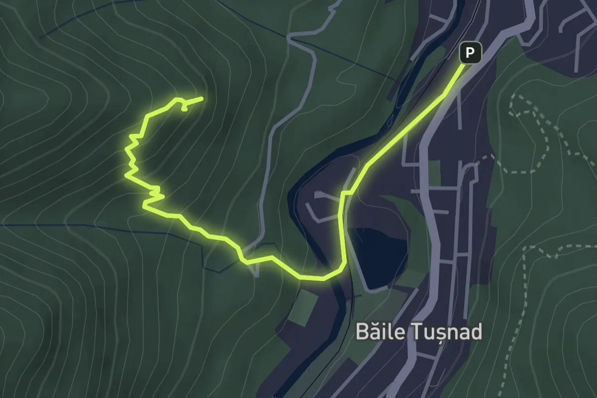
Medium · Summit
oraș Băile Tușnad - Piatra Șoimilor
4.0 km · ↑ 341 m · 1 h 41 min · 1 km away
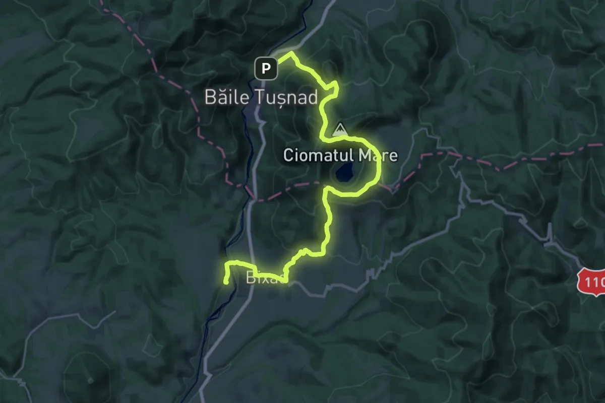
Medium · Trail
Stația CFR Bicsadu Oltului - sub Vf. Ciomatul Mare - Băile Tușnad
14.1 km · ↑ 684 m · 5 h 1 min · 1 km away
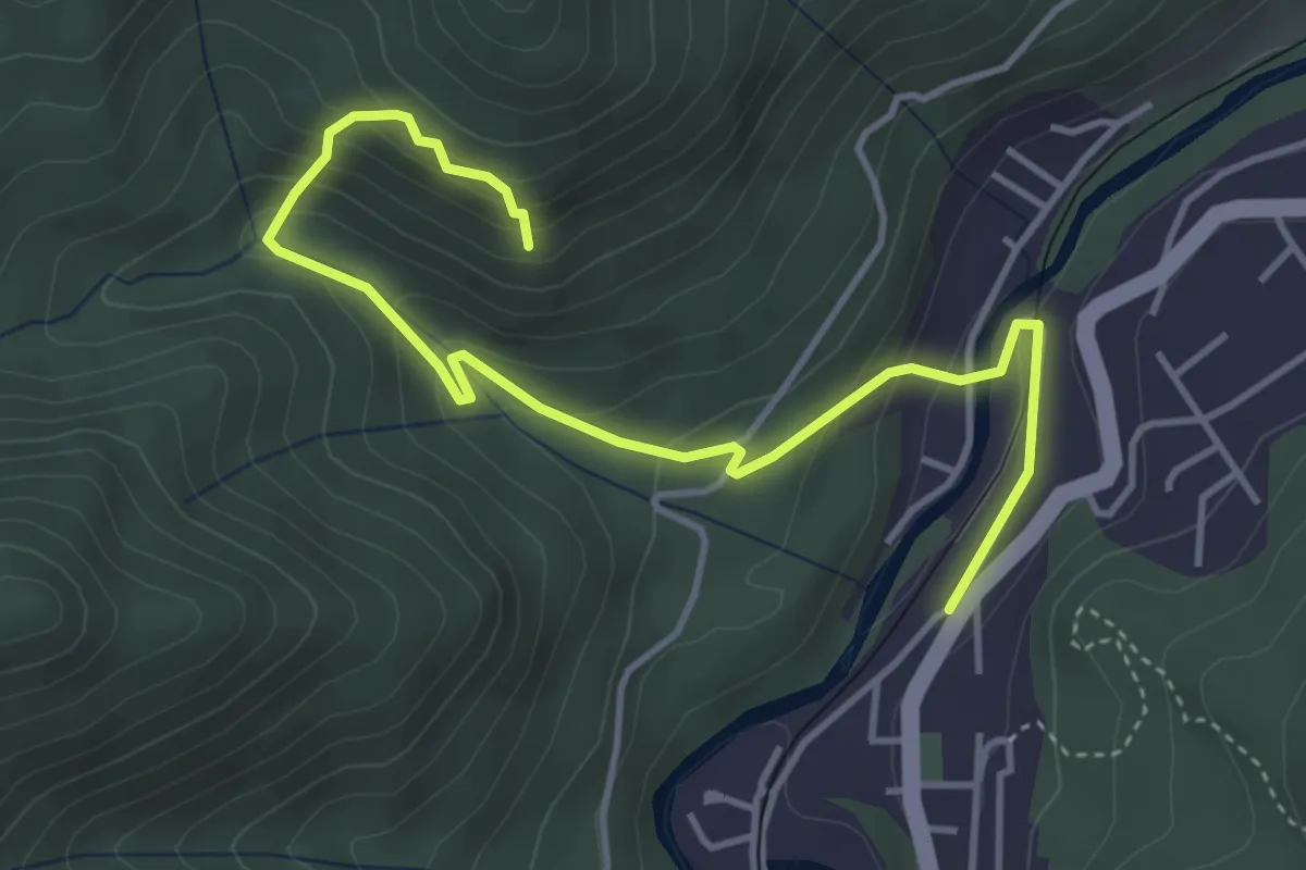
Medium · Trail
oraș Băile Tușnad - Pârâul Minei - Stâncile Turnuri
4.9 km · ↑ 328 m · 1 h 53 min · 1 km away
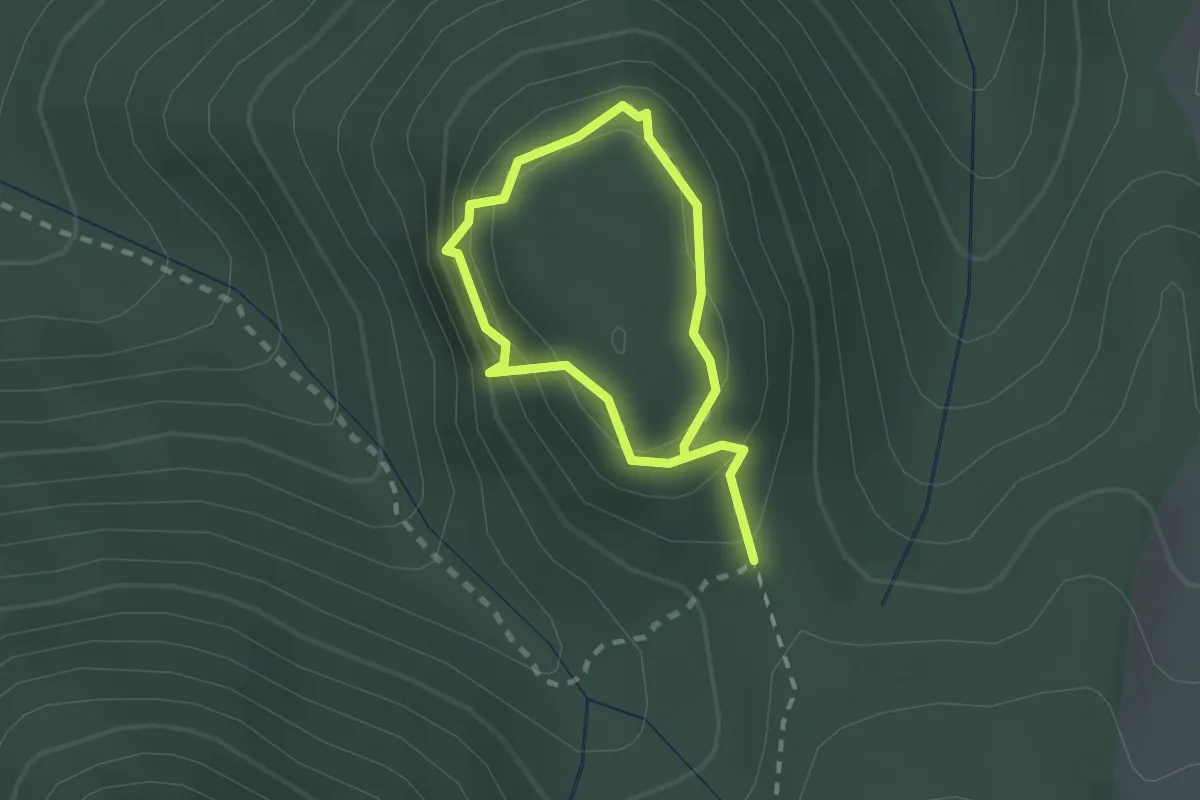
Easy · Summit
Turul Zidurilor Cetății
1.4 km · ↑ 137 m · 38 min · 2 km away
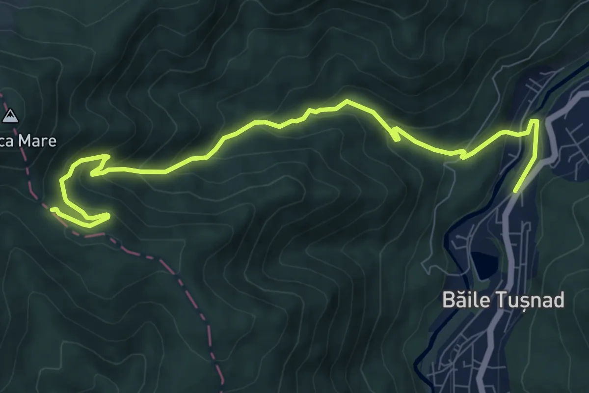
Medium · Trail
oraș Băile Tușnad - Pilișca Mare
9.6 km · ↑ 628 m · 3 h 37 min · 3 km away
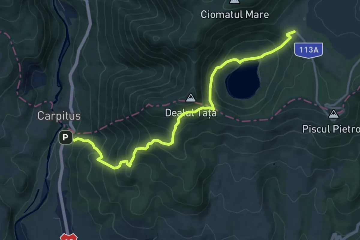
Medium · Trail
sat Carpituș - Lacul Sfânta Ana - Cabana Lacul Sfânta Ana
9.8 km · ↑ 798 m · 4 h 2 min · 3 km away
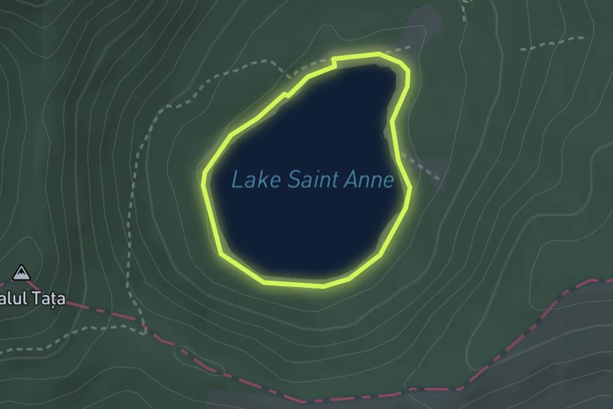
Easy · Trail
Lacul Sfânta Ana
1.8 km · ↑ 29 m · 31 min · 3 km away
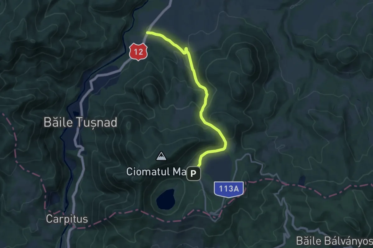
Medium · Trail
DN 12 (nord de orașul Băile Tușnad) - Tinovul Mohos - Cabana Lacul Sfânta Ana
10.9 km · ↑ 543 m · 3 h 44 min · 3 km away
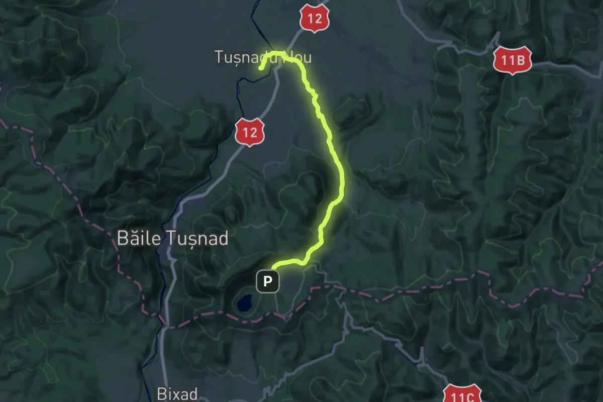
Demanding · Trail
sat Tușnadu Nou - Tinovul Mohos - Cabana Lacul Sfânta Ana
20.1 km · ↑ 474 m · 5 h 47 min · 3 km away
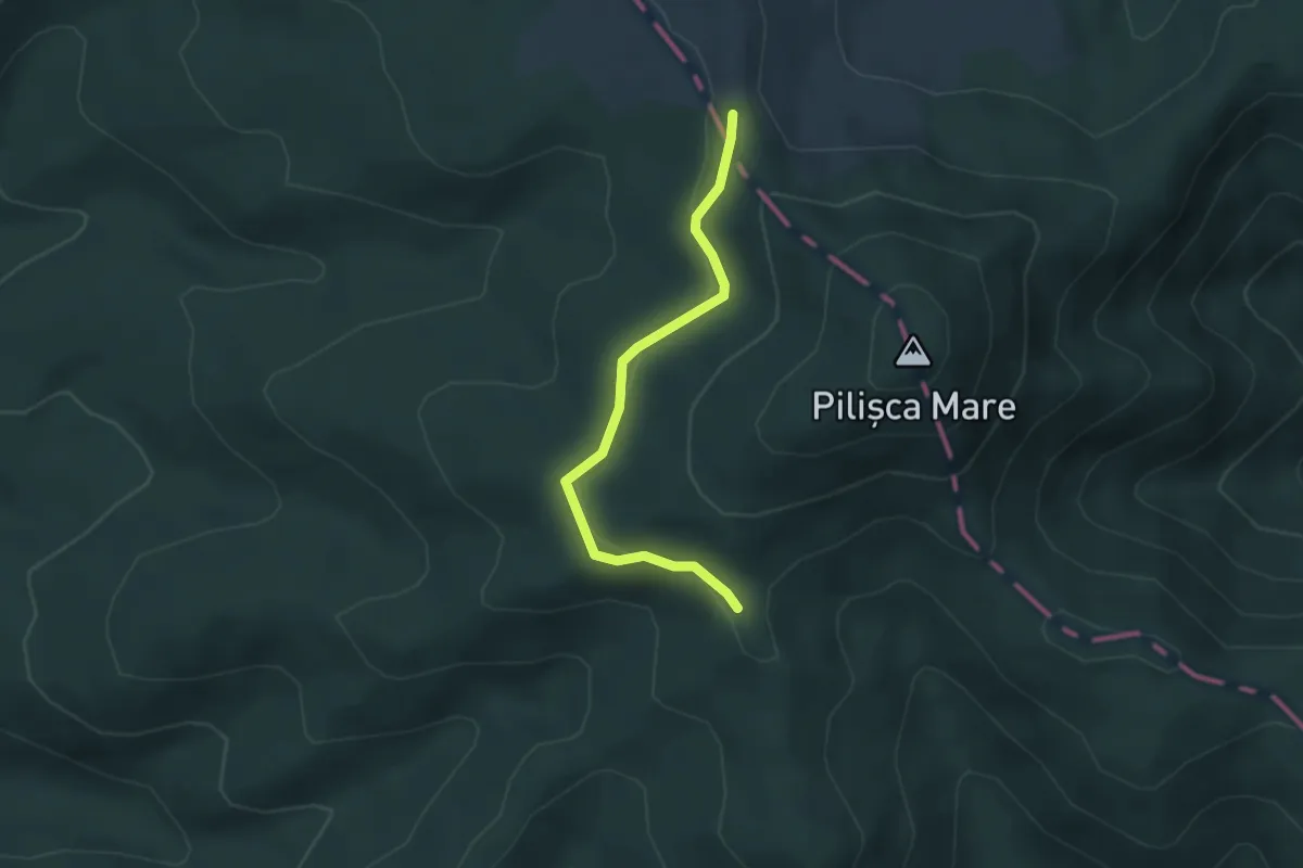
Easy · Trail
Ocolire Vf. Pilișca Mare
3.4 km · ↑ 56 m · 55 min · 4 km away
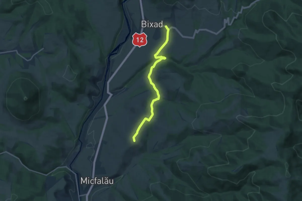
Easy · Summit
Via Mariae M12-13
5.6 km · ↑ 143 m · 1 h 42 min · 5 km away
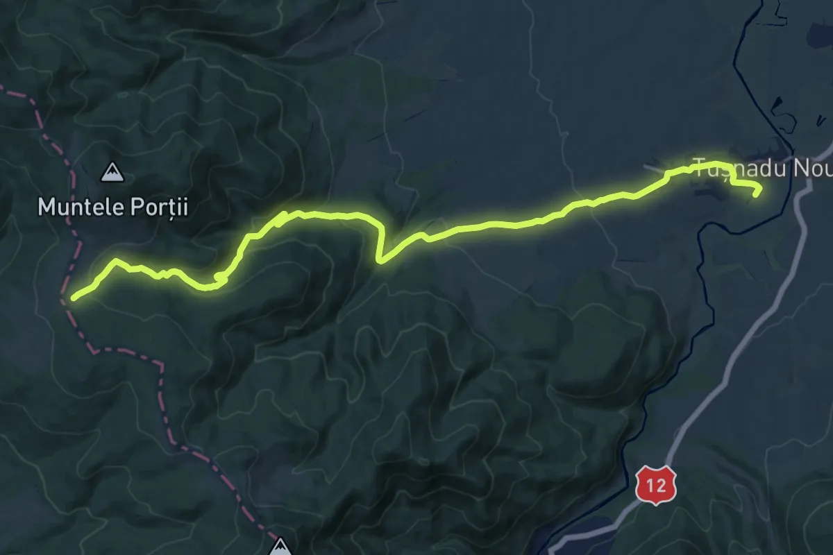
Demanding · Trail
Tușnad Nou - Poiana Mitaci
20.4 km · ↑ 577 m · 6 h 4 min · 6 km away
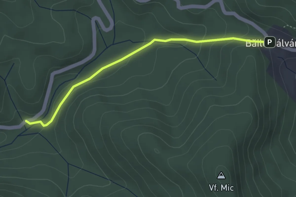
Easy · Trail
Câmpul Sărat - Izv. Jimbor
3.9 km · ↑ 138 m · 1 h 13 min · 7 km away
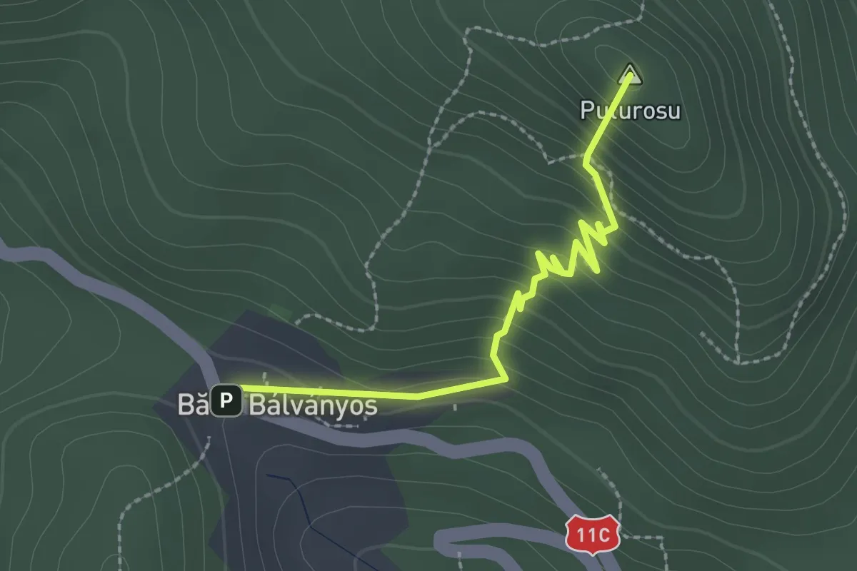
Medium · Summit
Câmpul Sărat - Grota Sulfuroasă - Câmpul Sărat
2.5 km · ↑ 213 m · 1 h 2 min · 7 km away
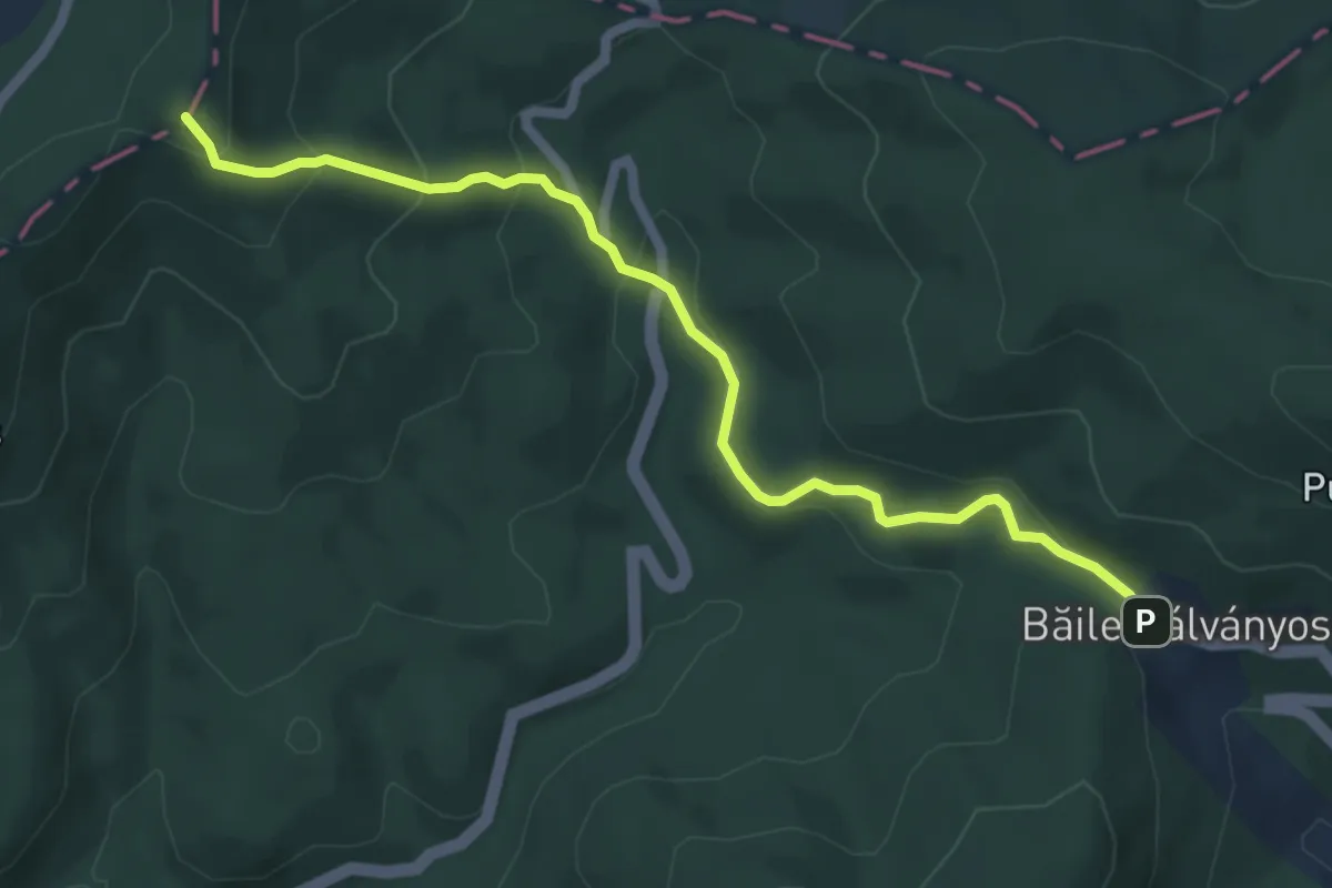
Easy · Summit
Cabana Sf. Ana - Băile-Balvanyos
6.1 km · ↑ 316 m · 2 h 7 min · 7 km away
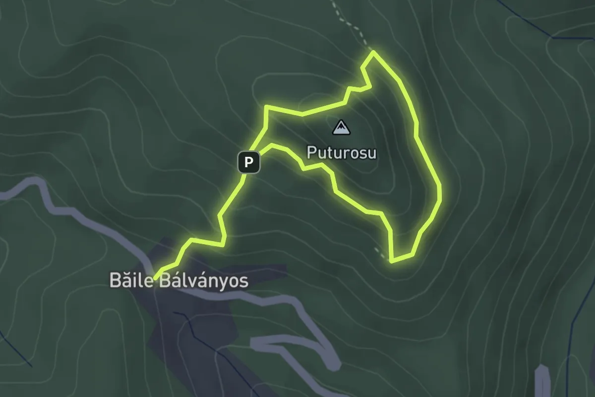
Medium · Summit
Câmpul Sărat - Cimitirul păsărilor - Grota Ucigașă - Câmpul Sărat
2.6 km · ↑ 137 m · 59 min · 7 km away
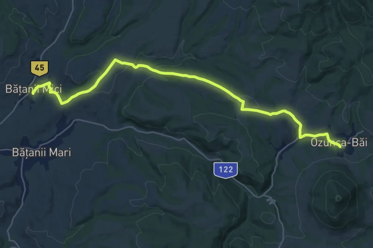
Demanding · Trail
Ozunca-Băi - Bățanii Mici
21.1 km · ↑ 421 m · 5 h 54 min · 7 km away
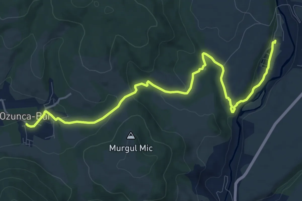
Medium · Trail
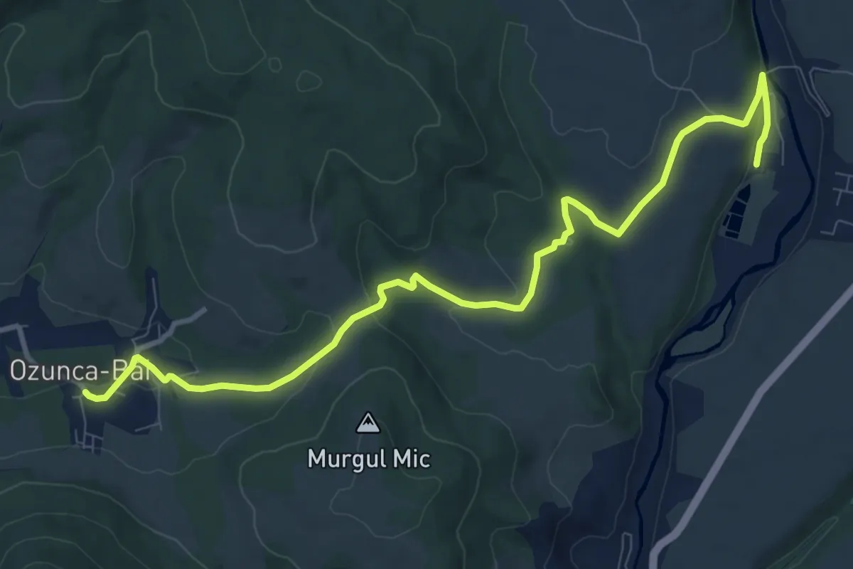
Bixad - Urmele Cetății Vápa - Ozunca-Băi
11.7 km · ↑ 232 m · 3 h 16 min · 7 km away
Medium · Trail
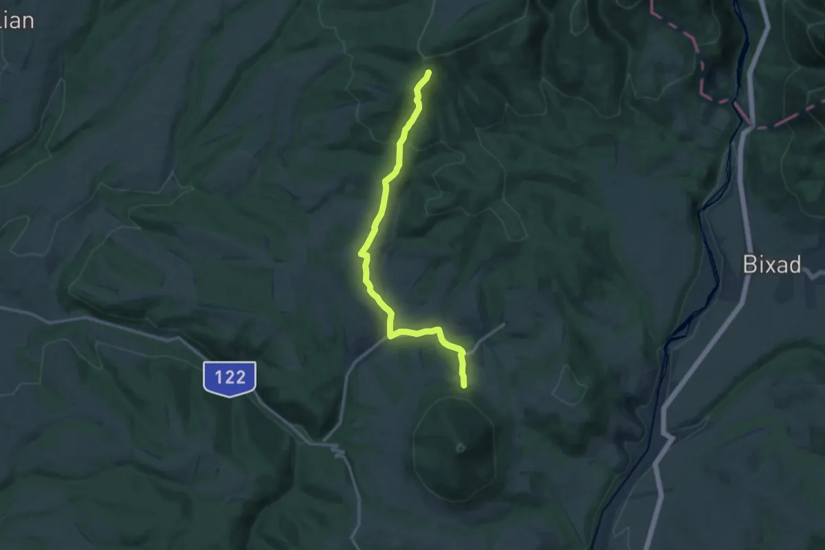
Bixad - Ozunca-Băi
11.2 km · ↑ 229 m · 3 h 8 min · 7 km away
Medium · Trail
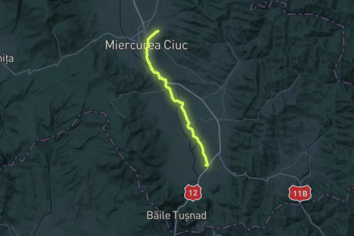
BA - Ozunca-Băi - BA
12.4 km · ↑ 469 m · 3 h 57 min · 8 km away
Demanding · Pilgrim path
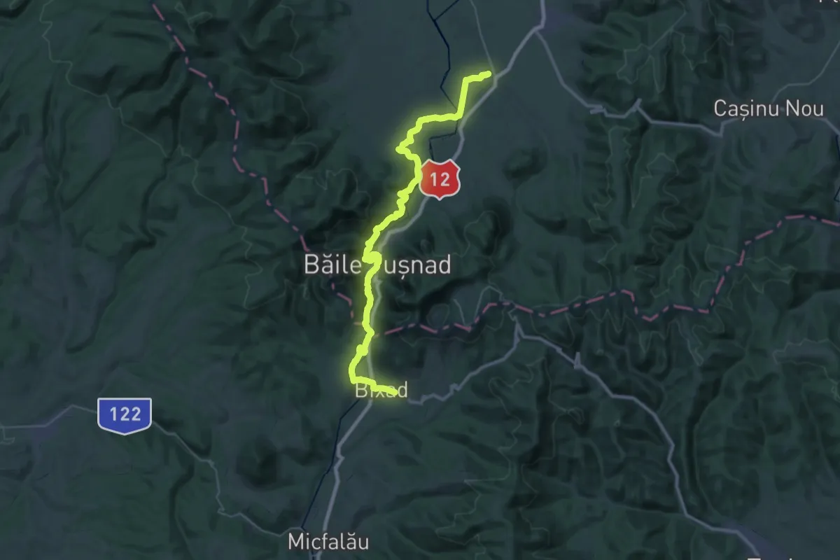
Via Mariae M12-11
24.7 km · ↑ 111 m · 6 h 25 min · 8 km away
Demanding · Pilgrim path
Via Mariae M12-12
19.9 km · ↑ 511 m · 6 h 4 min · 8 km away
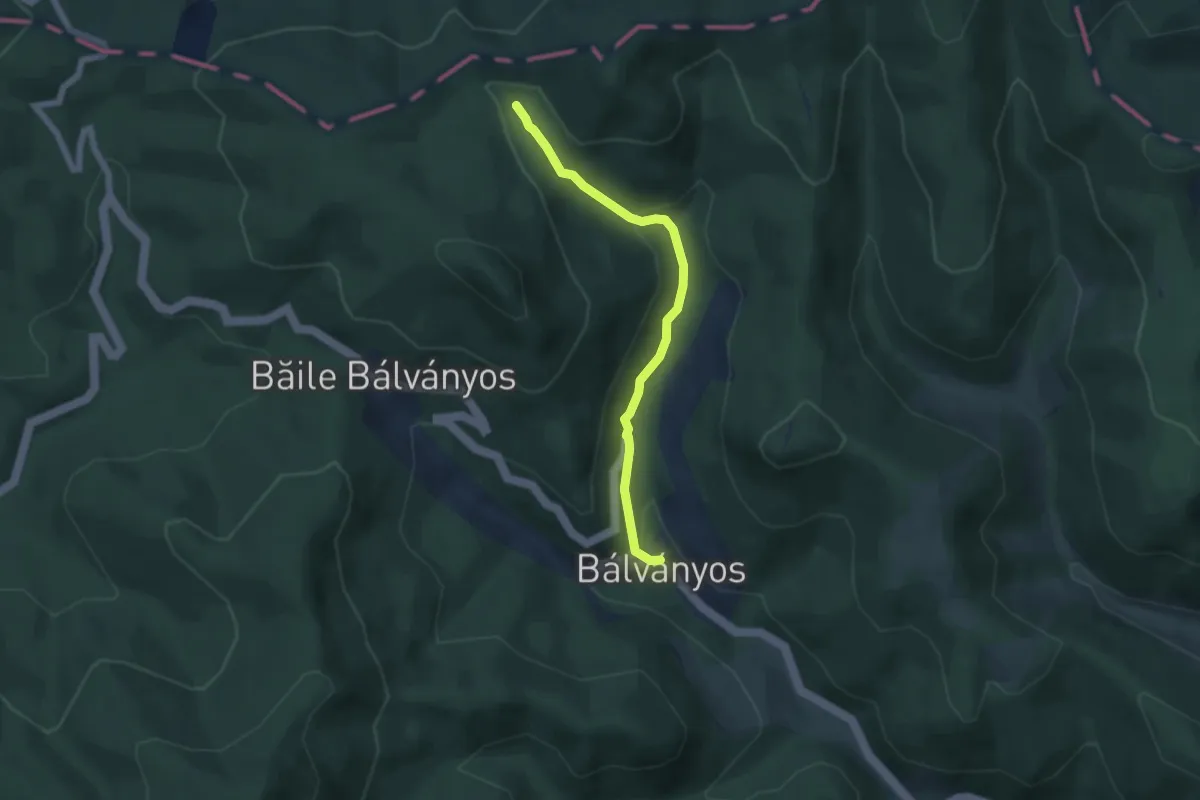
Easy · Trail
Băile Balvanyos - Tinovul Buffogo
5.2 km · ↑ 203 m · 1 h 40 min · 9 km away
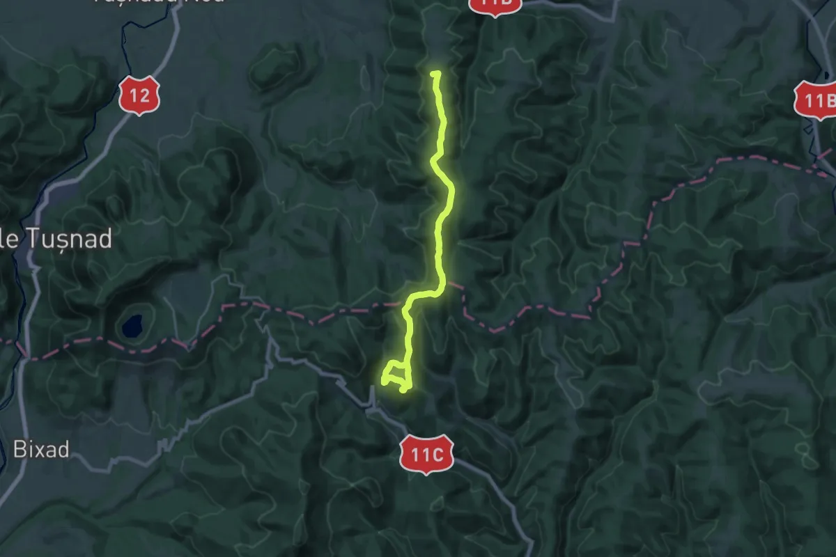
Demanding · Summit
Pasul Uzului (Rugat) - Băile Balvanyos
19.8 km · ↑ 845 m · 6 h 31 min · 9 km away
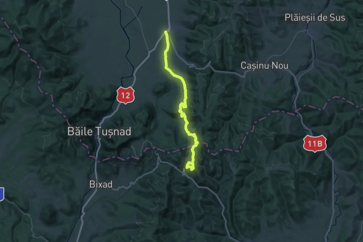
Demanding · Trail
Cozmeni - Băile Balvanyos
18.0 km · ↑ 763 m · 6 h 1 min · 11 km away
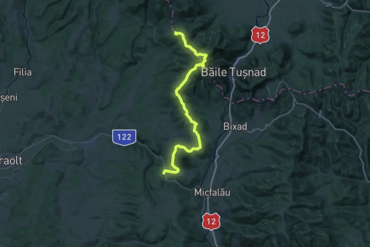
Demanding · Summit
sat Sântimbru-Băi - Muntele Mitaci - Pasul Hatod
41.5 km · ↑ 1378 m · 12 h 48 min · 11 km away
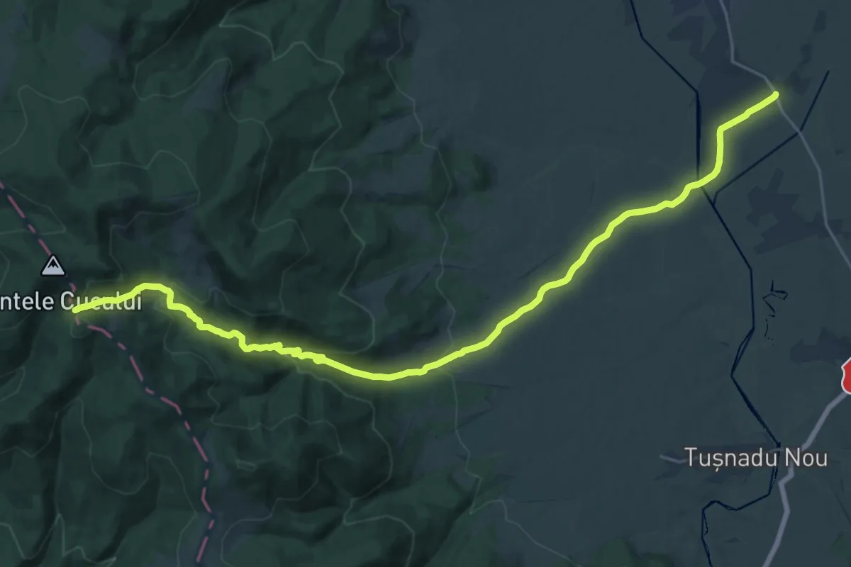
Demanding · Trail
sat Cetățuia - Campul Negru
26.6 km · ↑ 765 m · 7 h 57 min · 11 km away
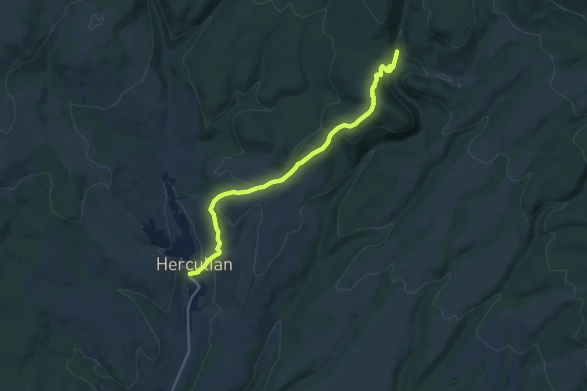
Medium · Trail
sat Herculian - Dealul Mateiul Mare - Furnalul Bodvai
10.4 km · ↑ 414 m · 3 h 21 min · 12 km away
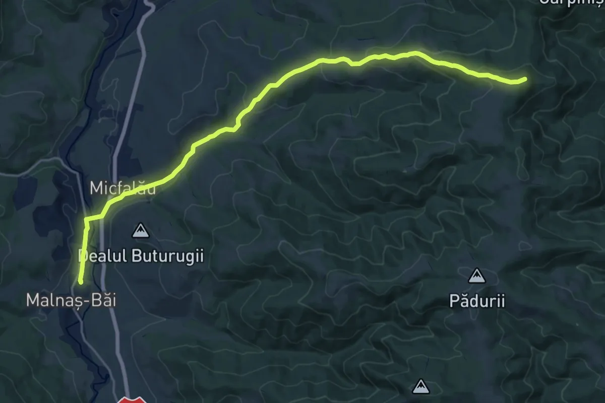
Demanding · Summit
Stația CFR Malnaș Băi - vf. Burda
20.1 km · ↑ 639 m · 6 h 8 min · 12 km away
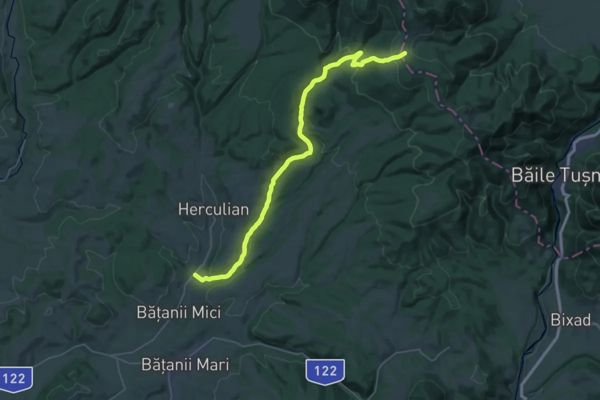
Demanding · Trail
sat Bățanii Mici - Pârâul cu Brazi - Poiana Mitaci
26.4 km · ↑ 731 m · 7 h 49 min · 13 km away
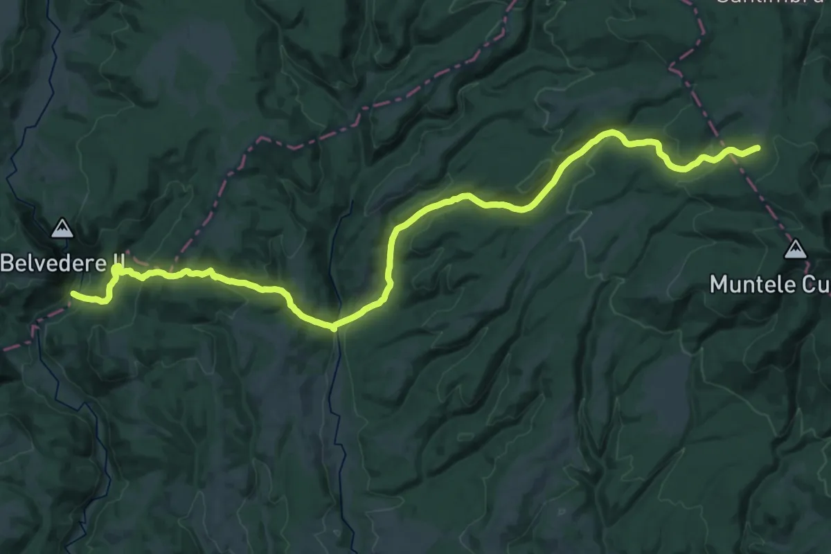
Demanding · Trail
sud de Cheile Vârghișului - Valea Fierarul - intersecție traseul BA
20.6 km · ↑ 343 m · 6 h 16 min · 14 km away