Trails near Miercurea Ciuc
20 hikes starting within 15 km, nearest first.
Nearest first
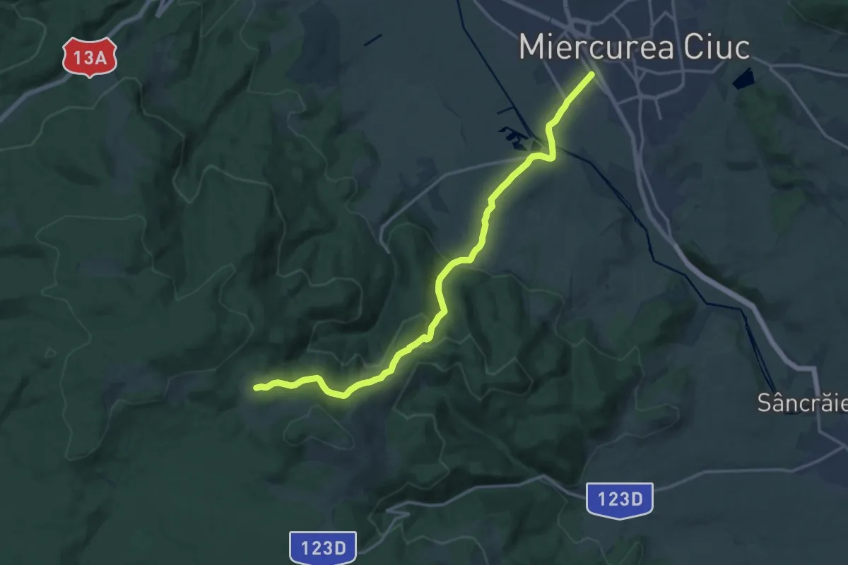
Medium · Cabin
oraș Miercurea Ciuc - Poiana Hirtelen - intersecție traseul BA (creasta principală)
17.1 km · ↑ 517 m · 5 h 10 min · 1 km away
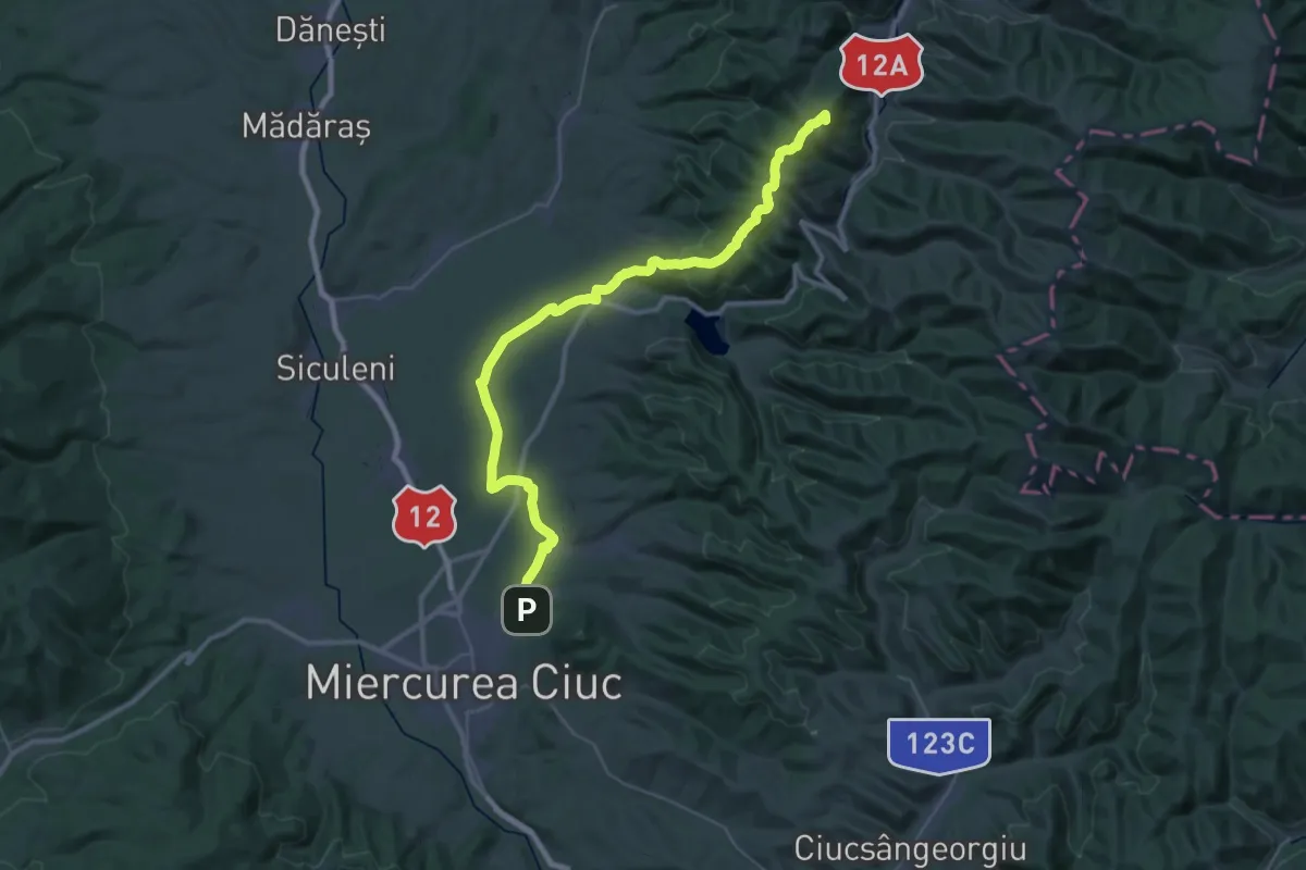
Demanding · Summit
Via Mariae M05-52: Șumuleu Ciuc – Lunca de Sus (Valea Ugra)
21.7 km · ↑ 782 m · 6 h 49 min · 3 km away
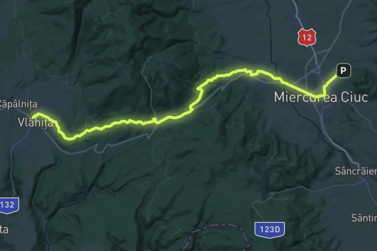
Demanding · Pilgrim path
Via Mariae M05-51 Vlăhita - Miercurea Ciuc
29.9 km · ↑ 530 m · 8 h 33 min · 3 km away
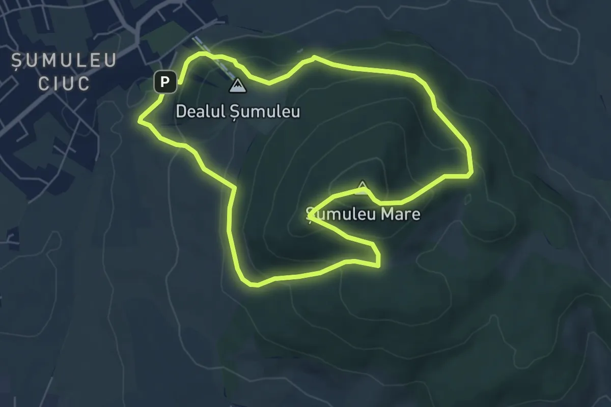
Medium · Summit
Csíksomlyói kör Piros pont (RO)
5.8 km · ↑ 341 m · 2 h 11 min · 3 km away
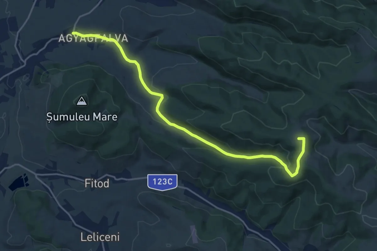
Medium · Summit
Csobotfalva-Szellő tető Piros kereszt (R+)
14.6 km · ↑ 360 m · 4 h 13 min · 4 km away
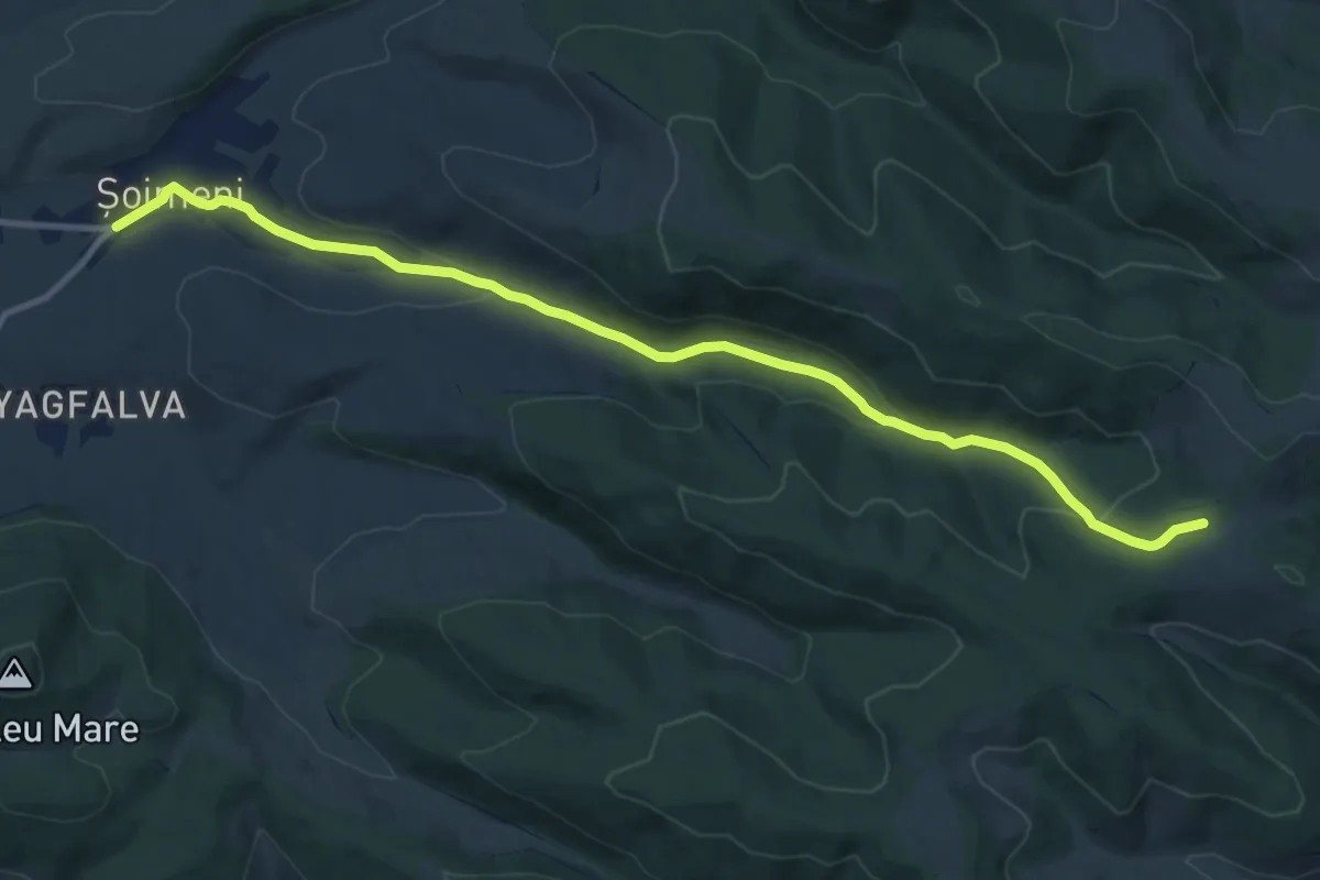
Medium · Trail
Csíkcsomortán-Kísérleti Állomás Kék kereszt (B+)
12.1 km · ↑ 311 m · 3 h 32 min · 5 km away
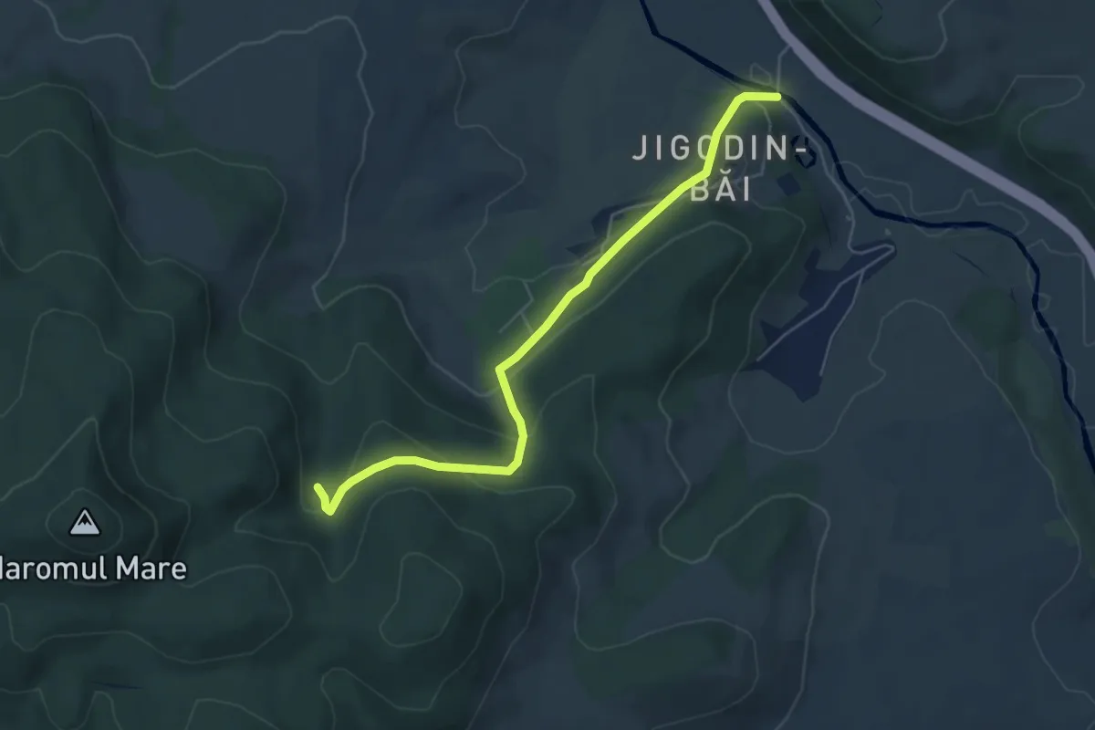
Easy · Trail
sat Jigodin-Băi - Csihányos
5.6 km · ↑ 257 m · 1 h 52 min · 5 km away
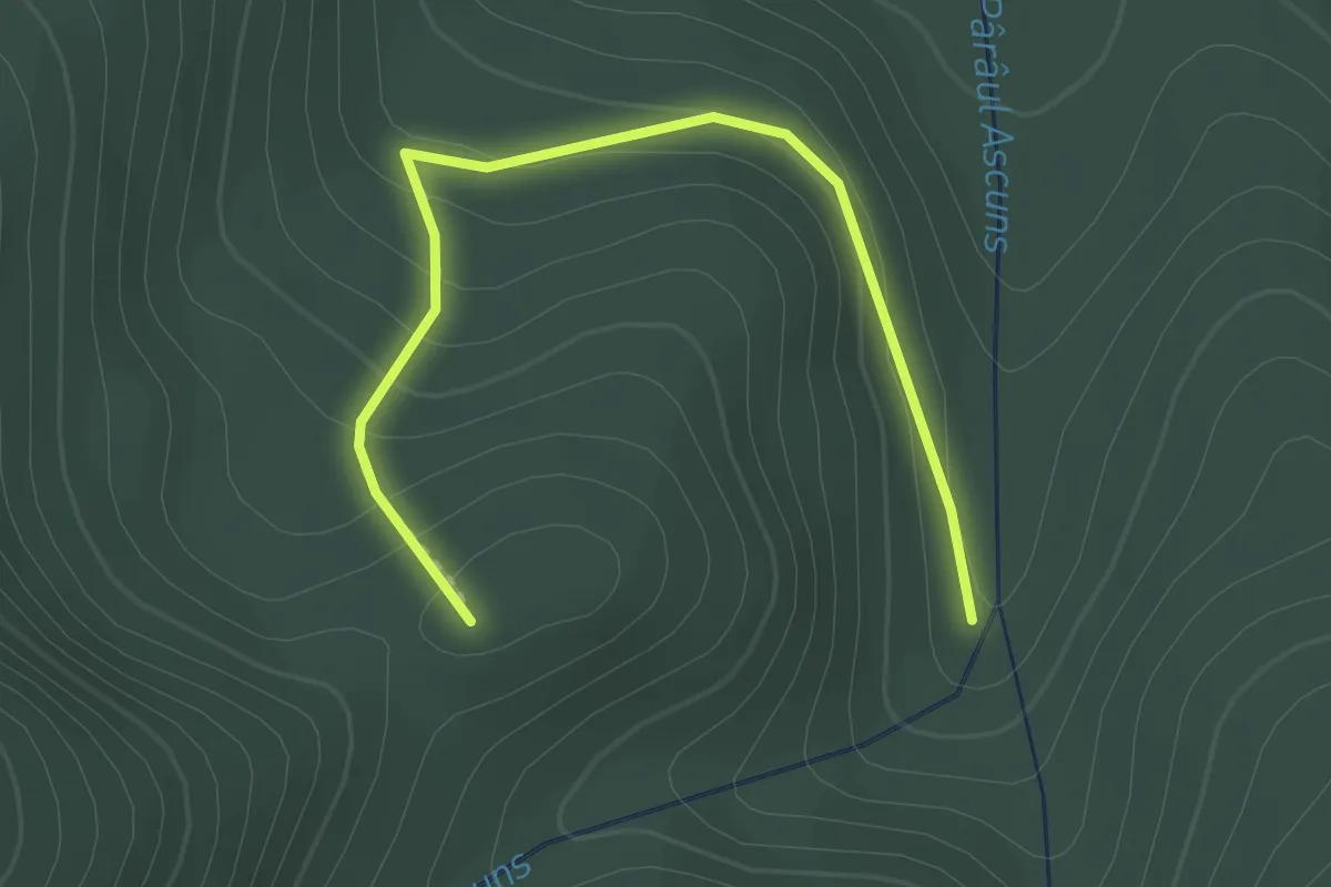
Medium · Trail
Csihányos - Dealul Cetății
2.2 km · ↑ 138 m · 50 min · 5 km away
Demanding · Trail
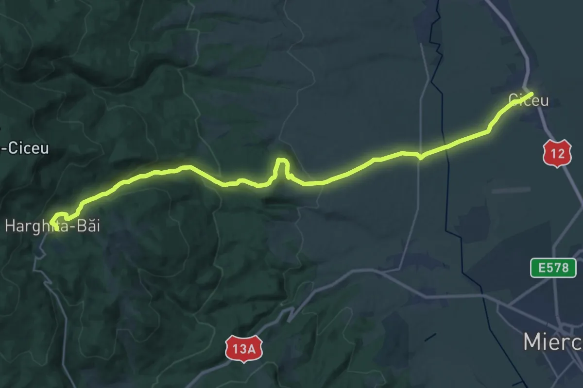
sat Ciceu - sub Vf. Ciceu - Stațiunea Harghita-Băi
27.2 km · ↑ 670 m · 7 h 53 min · 6 km away
Demanding · Trail
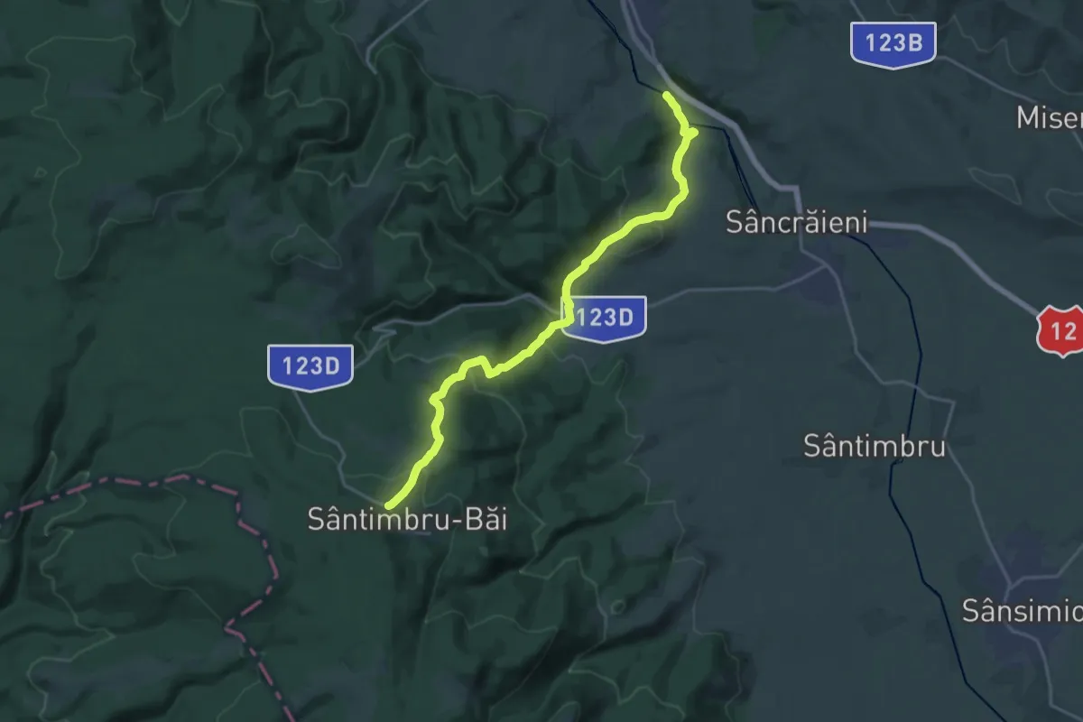
sat Jigodin-Băi - Coasta Mocirla Agrișului - sat Sântimbru-Băi
19.7 km · ↑ 786 m · 6 h 21 min · 10 km away
Demanding · Trail
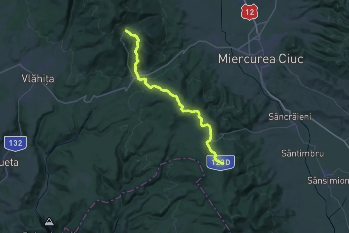
Stațiunea Harghita-Băi - Pasul Vlăhița (Tolvaioș) - sat Sântimbru-Băi
20.5 km · ↑ 714 m · 6 h 38 min · 10 km away
Demanding · Trail
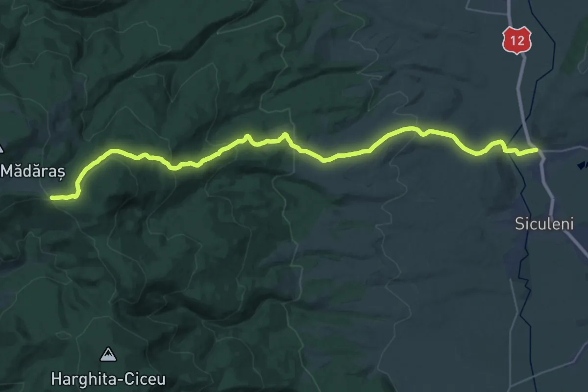
sat Racu - Ruinele Cetății Pogányvár - intersecție traseul BA (creasta principală)
14.3 km · ↑ 940 m · 5 h 10 min · 11 km away
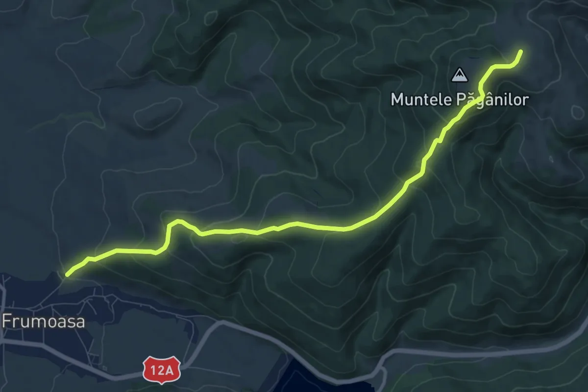
Medium · Trail
P+
10.2 km · ↑ 540 m · 3 h 35 min · 11 km away
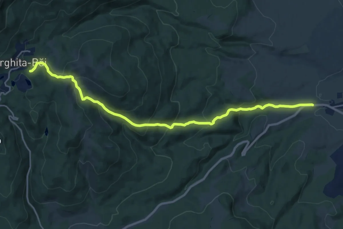
Medium · Trail
Harghita Bai - Subpadure
16.1 km · ↑ 696 m · 5 h 19 min · 13 km away
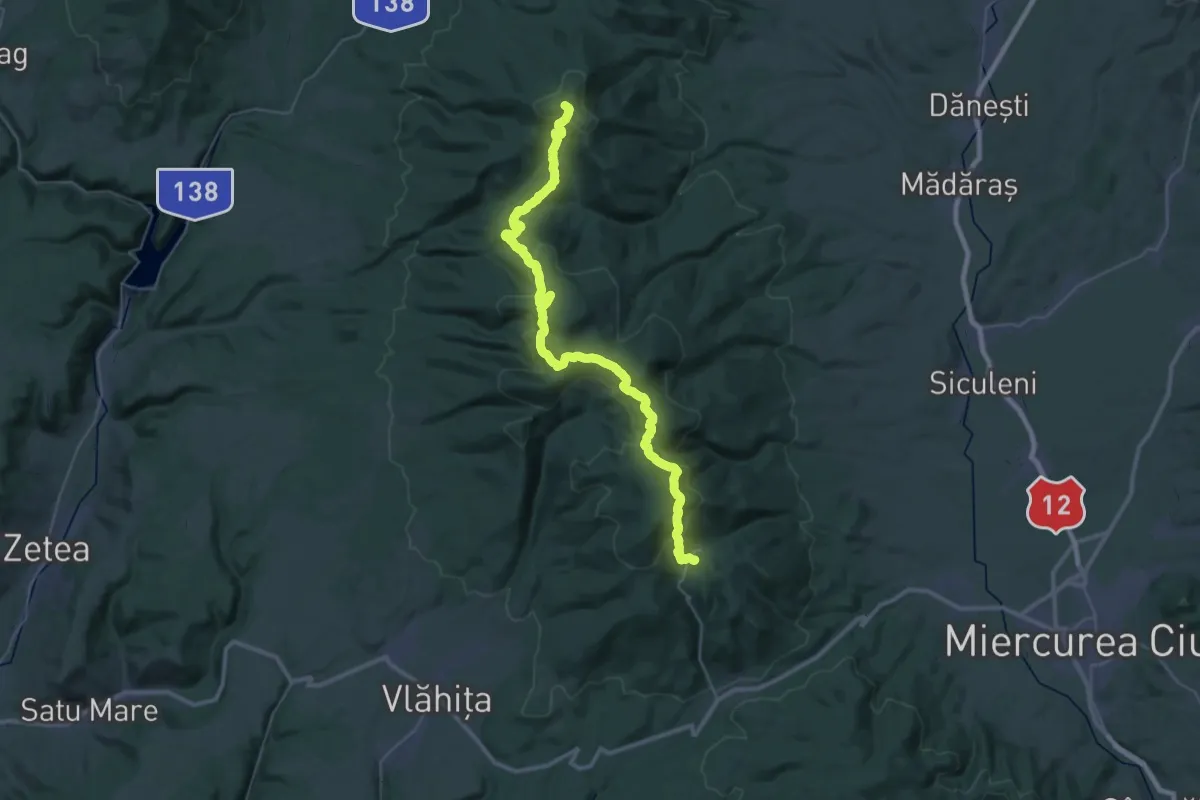
Demanding · Summit
Pasul Liban - Stațiunea Harghita Mădăraș - Stațiunea Harghita-Băi
45.6 km · ↑ 1629 m · 14 h 18 min · 13 km away
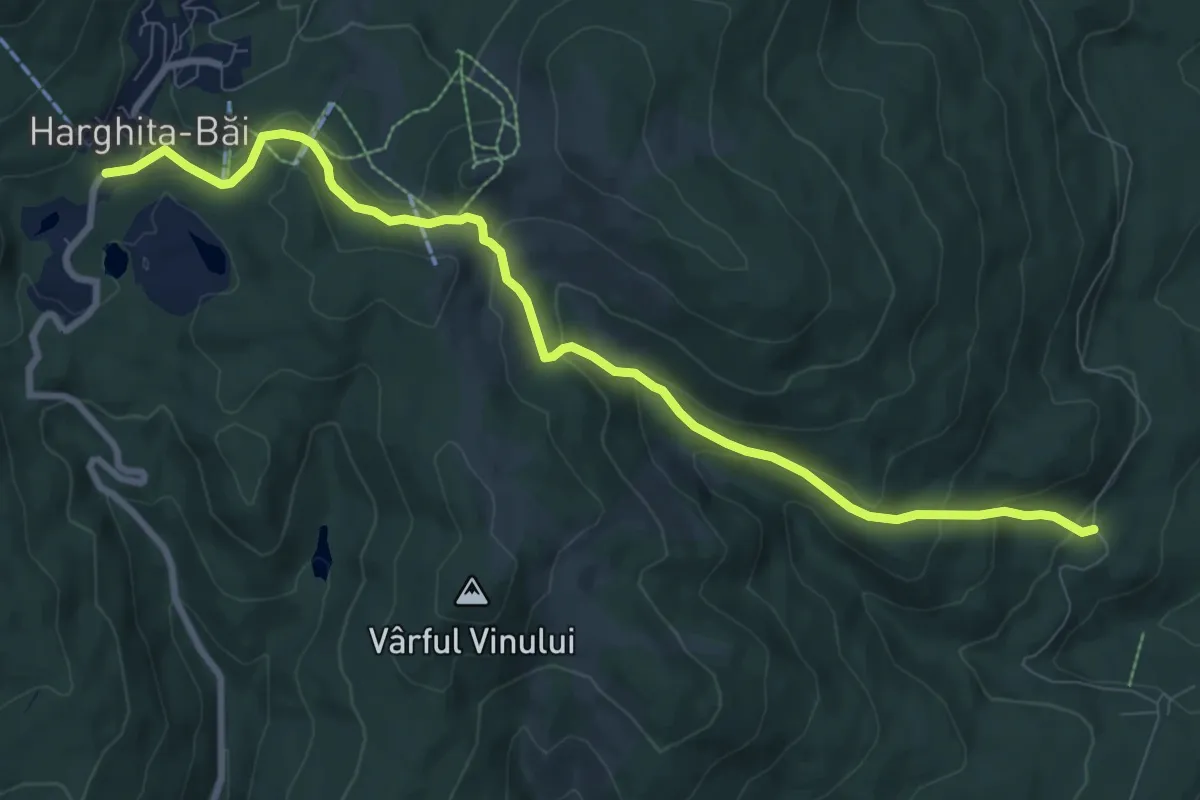
Medium · Trail
Piricske - Stațiunea Harghita-Băi
9.7 km · ↑ 421 m · 3 h 12 min · 13 km away
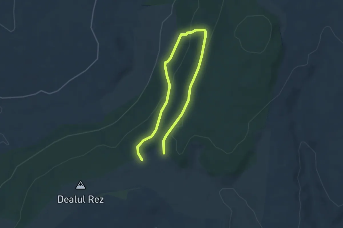
Easy · Trail
Cserevirág Tanösvény
5.1 km · ↑ 197 m · 1 h 38 min · 14 km away
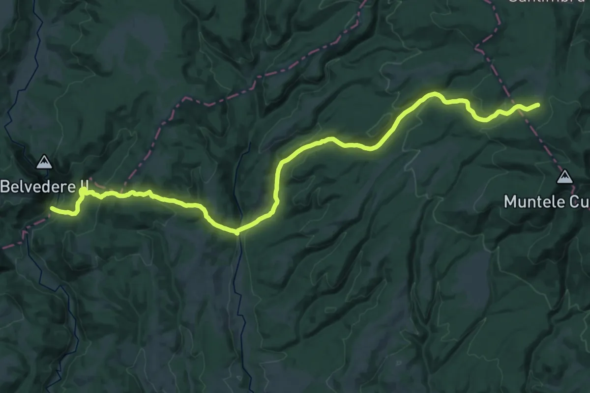
Demanding · Trail
sud de Cheile Vârghișului - Valea Fierarul - intersecție traseul BA
20.6 km · ↑ 343 m · 6 h 16 min · 14 km away
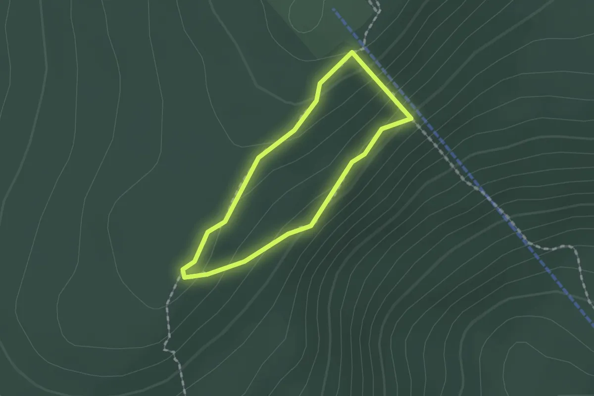
Easy · Summit
Stânca Bufniței
1.2 km · ↑ 77 m · 28 min · 15 km away
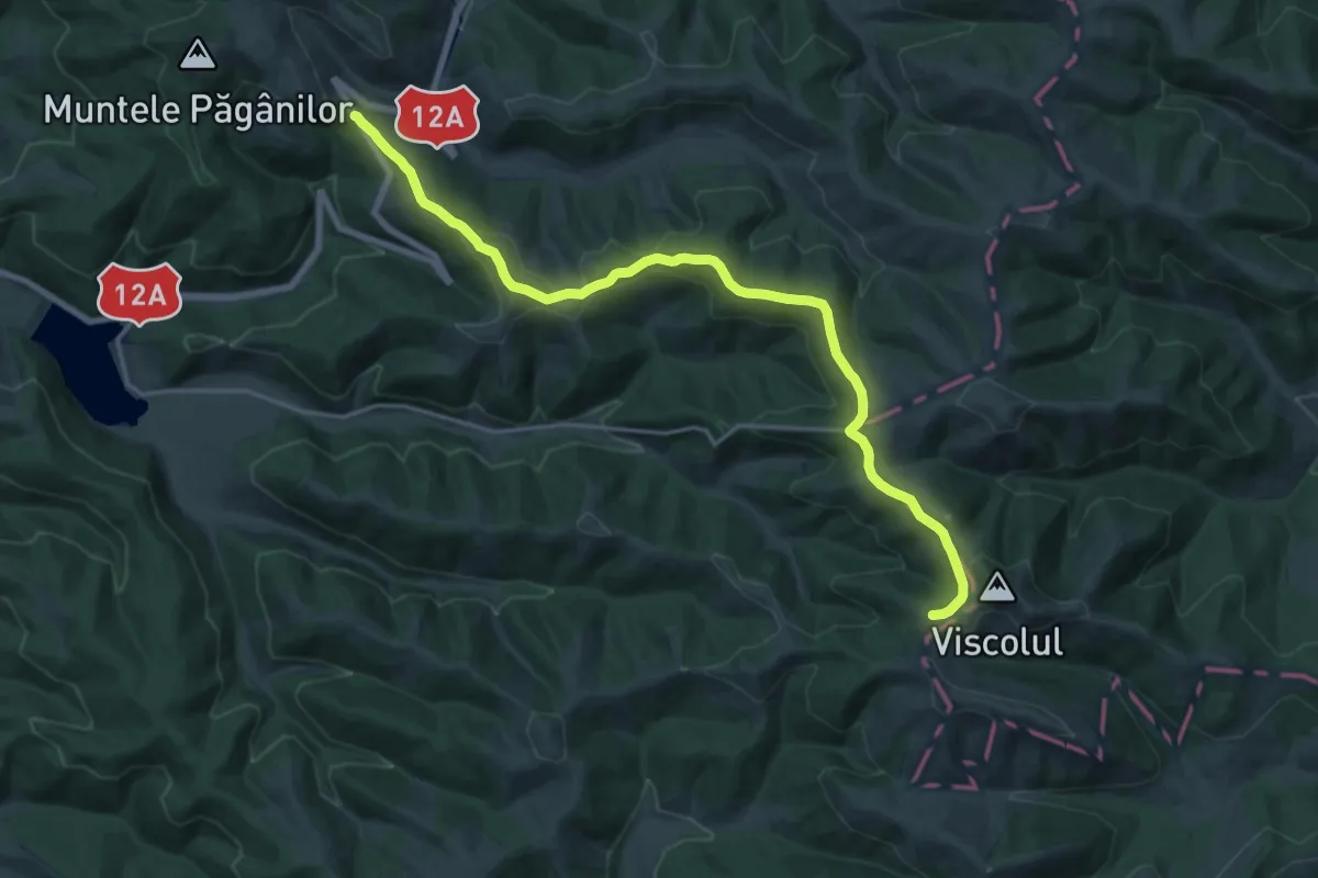
Demanding · Trail
red stripe
19.7 km · ↑ 463 m · 5 h 39 min · 15 km away