Trails near Râșnov
68 hikes starting within 15 km, nearest first.
Nearest first, page 1 of 2
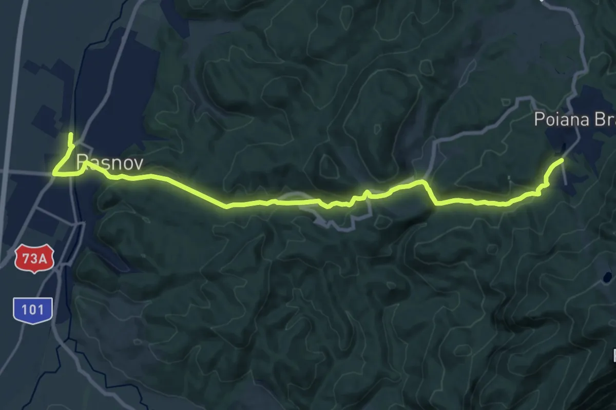
Demanding · Trail
Râșnov - Valea Poienii - Poiana Brașov
18.4 km · ↑ 581 m · 5 h 36 min · 1 km away
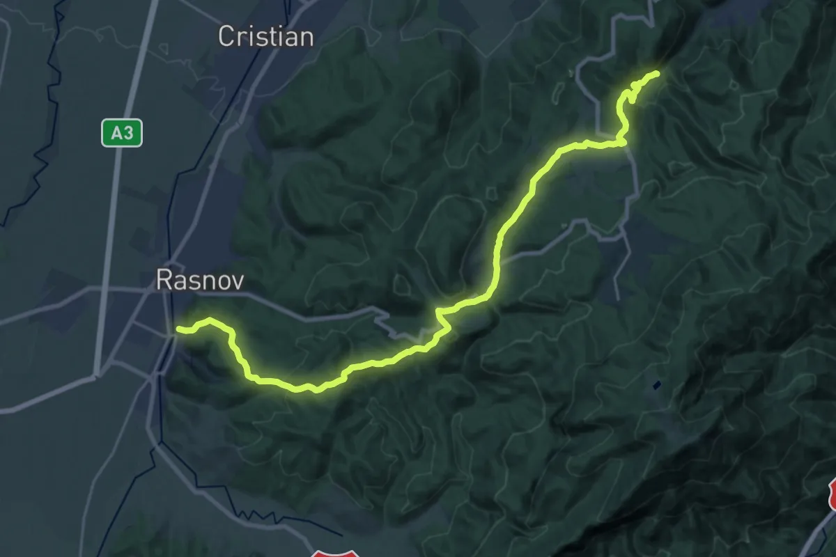
Demanding · Trail
Brașov (Solomon) - Poiana sub Padină - Râșnov
24.6 km · ↑ 997 m · 7 h 58 min · 1 km away
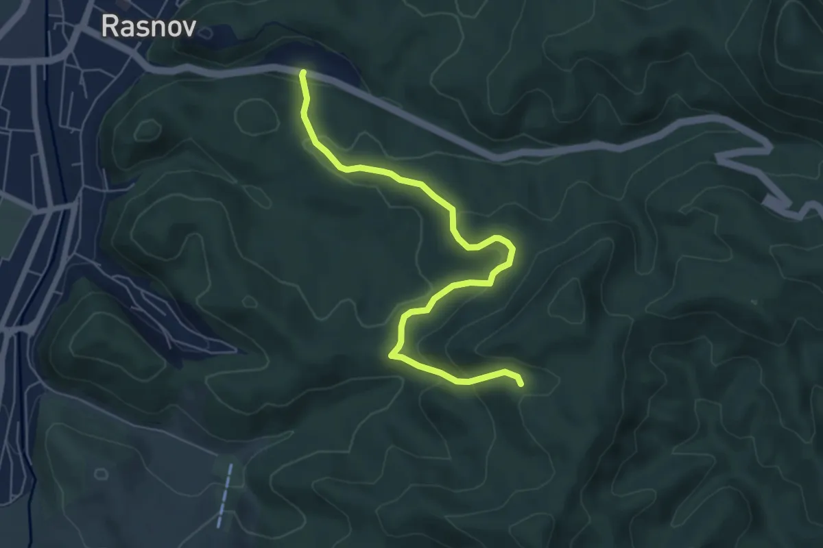
Medium · Trail
Pensiunea Valea Cetății - Poiana sub Padină - Peștera Râșnoavei
6.4 km · ↑ 328 m · 2 h 13 min · 3 km away
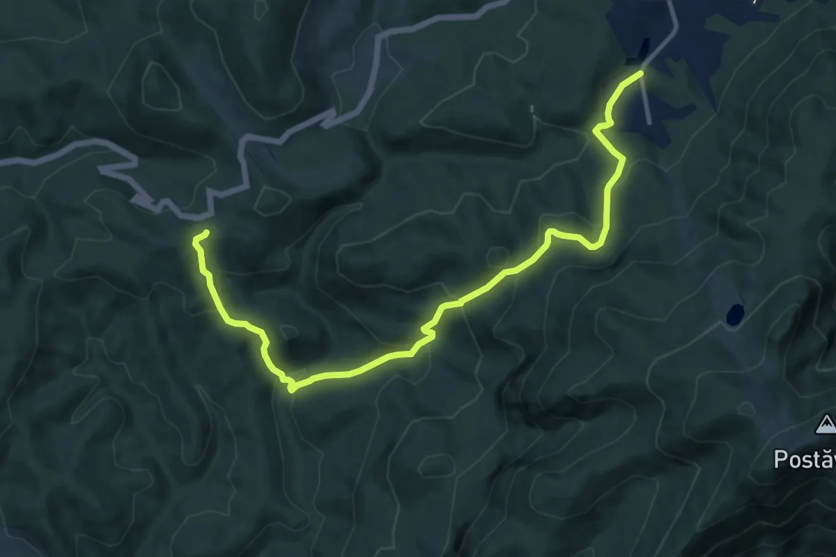
Medium · Trail
Poiana Brașov - Valea Groapa Lungă - Piscul Lung
11.6 km · ↑ 625 m · 4 h 6 min · 4 km away
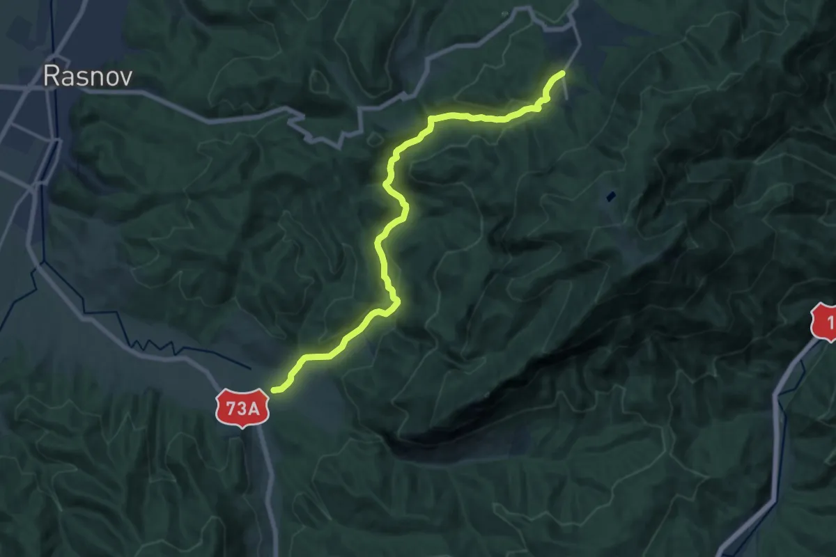
Medium · Trail
Cheișoara - Valea Poienii - Poiana Brașov
15.6 km · ↑ 359 m · 4 h 28 min · 5 km away
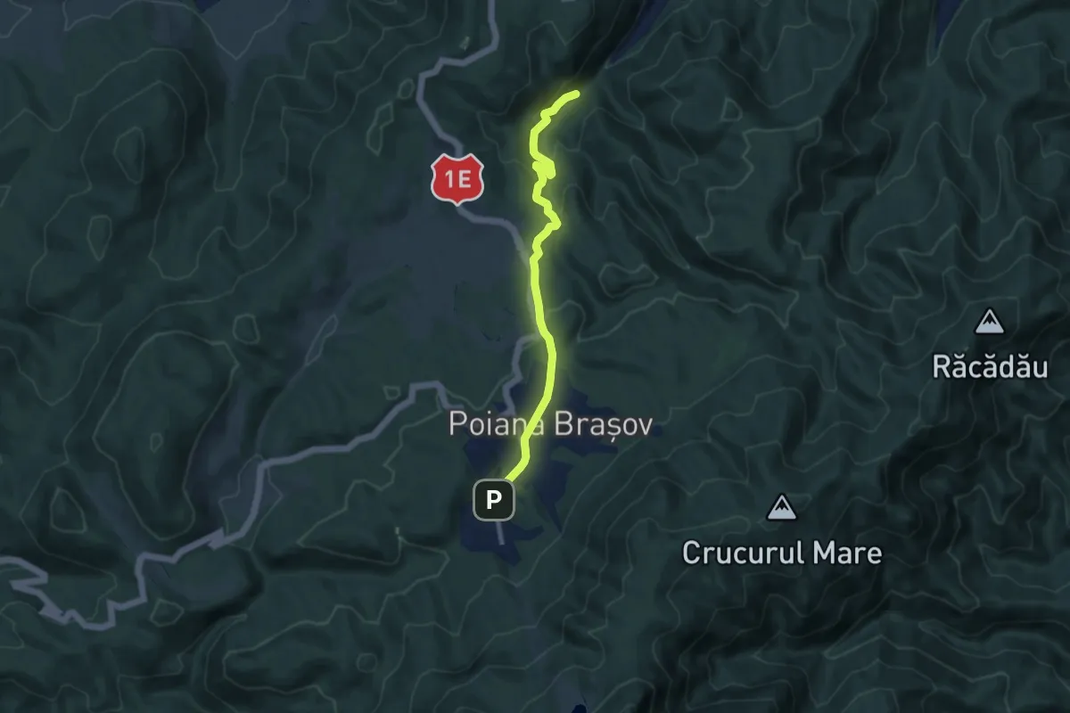
Medium · Trail
Brașov (Pietrele lui Solomon) - Poiana Brașov (Drumul Vechi)
8.2 km · ↑ 339 m · 2 h 40 min · 7 km away
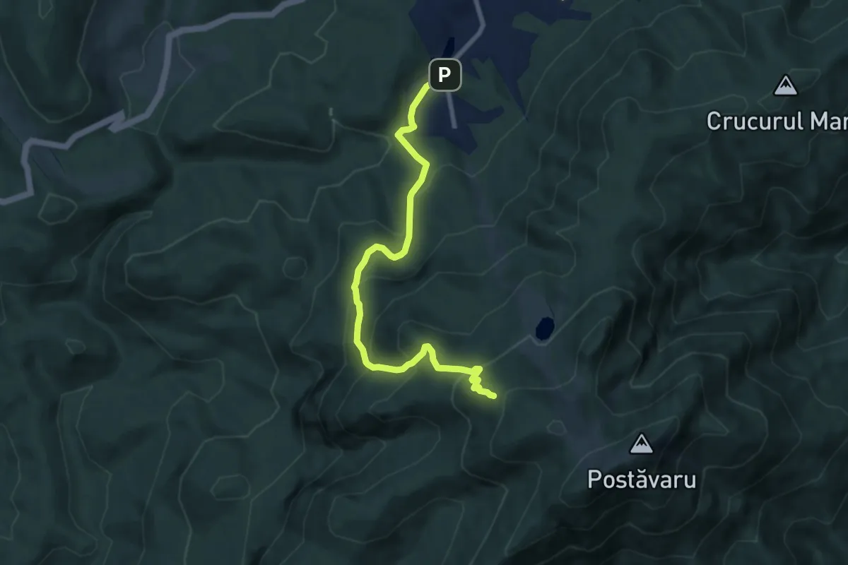
Medium · Cabin
Poiana Brașov - Padina Lăutei - Cabana Postăvaru
7.8 km · ↑ 586 m · 3 h 6 min · 7 km away
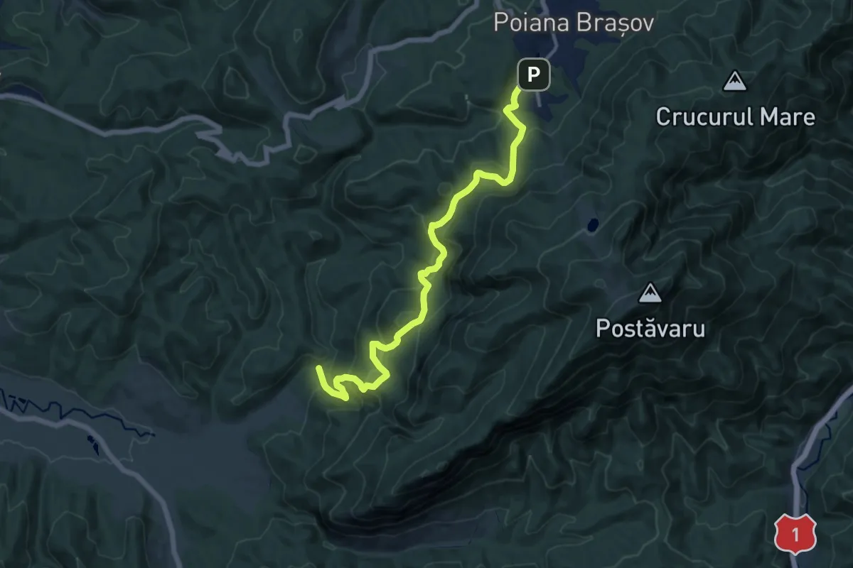
Demanding · Trail
Poiana Brașov - Pârtia Lupului - Avenul Groapa de Aur - Valea Poienii
13.3 km · ↑ 867 m · 5 h 2 min · 7 km away
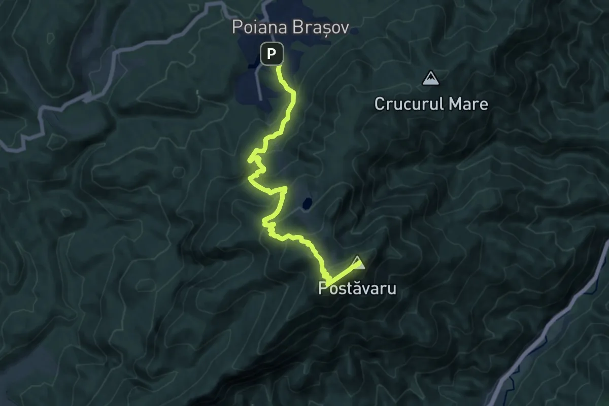
Medium · Summit
Poiana Brașov - Prăpastia Lupului - Vf. Postăvaru
11.6 km · ↑ 799 m · 4 h 29 min · 7 km away
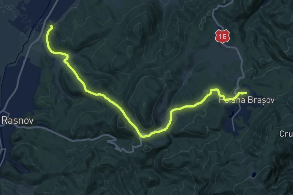
Demanding · Trail
Cristian - Drumul lui Lexen - Poiana Brașov
18.7 km · ↑ 613 m · 5 h 45 min · 7 km away
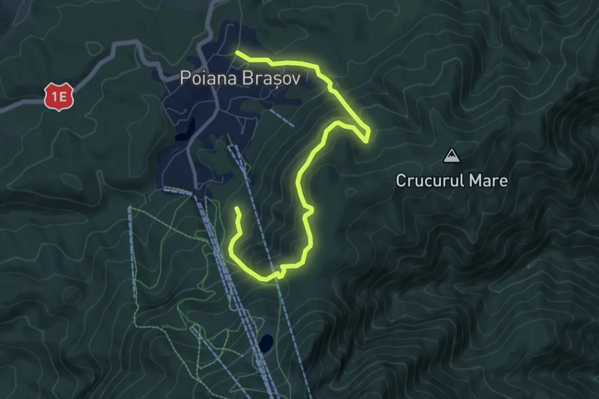
Medium · Trail
Poiana Brașov - Peștera de Lapte
9.2 km · ↑ 777 m · 3 h 51 min · 7 km away
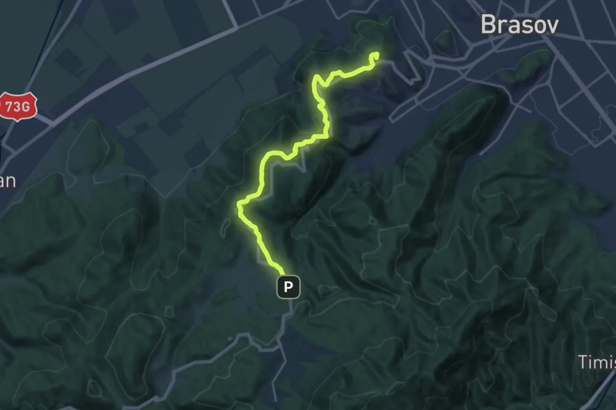
Medium · Summit
Brașov (centru) - Stejerișul Mare - Poiana Mică
15.2 km · ↑ 484 m · 4 h 39 min · 7 km away
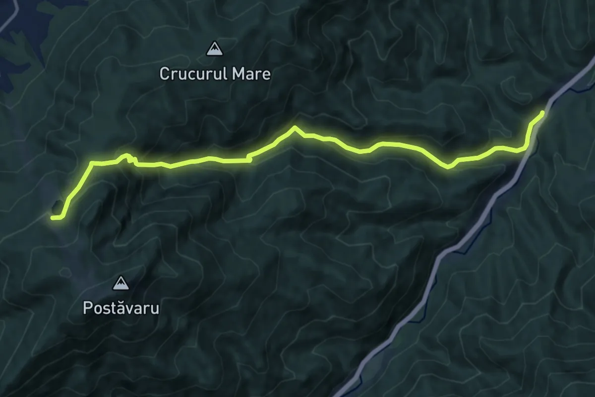
Demanding · Trail
Timișu de Jos - Valea Lamba Mare - Poiana Ruia
12.3 km · ↑ 807 m · 4 h 39 min · 7 km away
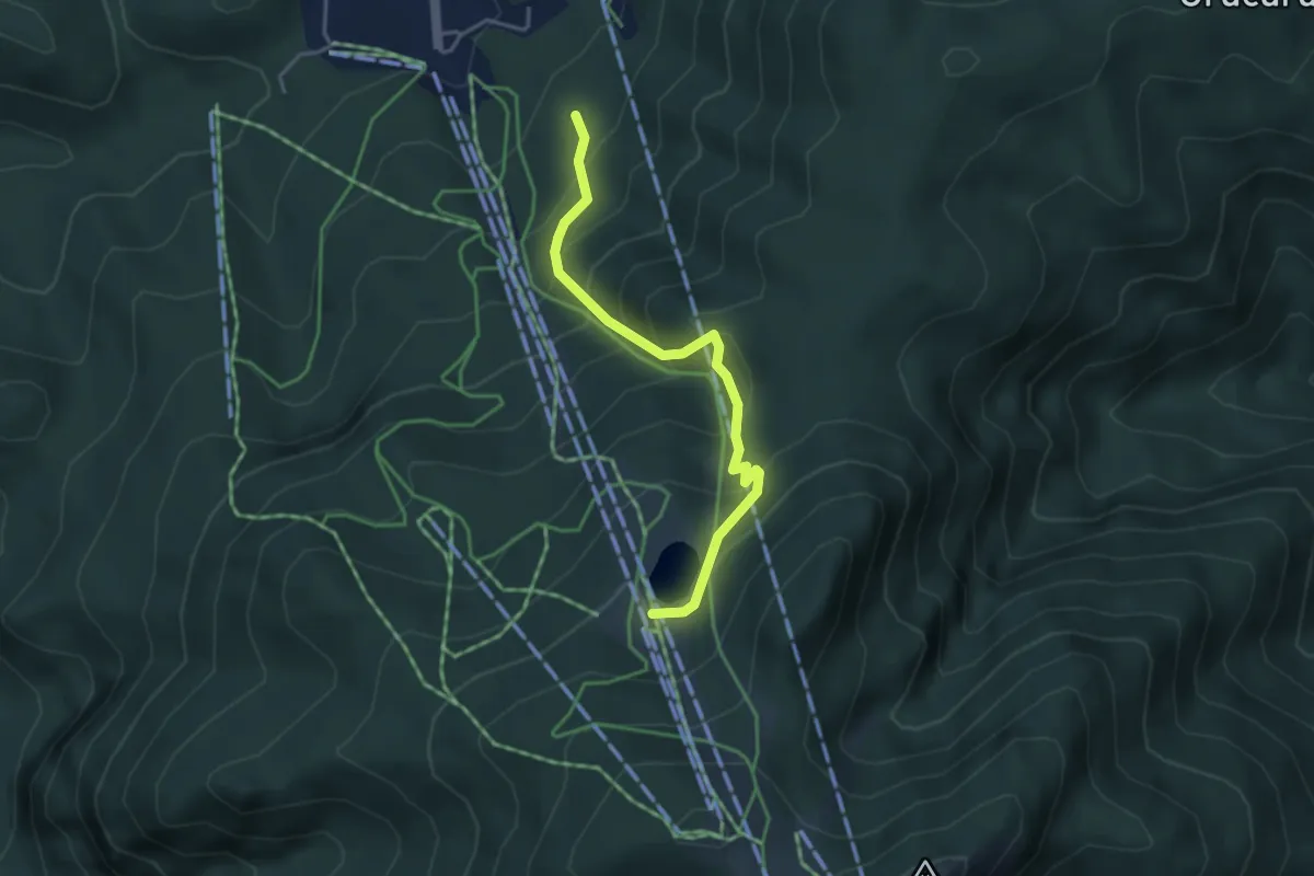
Medium · Trail
Poiana Brașov - Pârtia Sulinar - Poiana Ruia
3.9 km · ↑ 425 m · 1 h 50 min · 7 km away
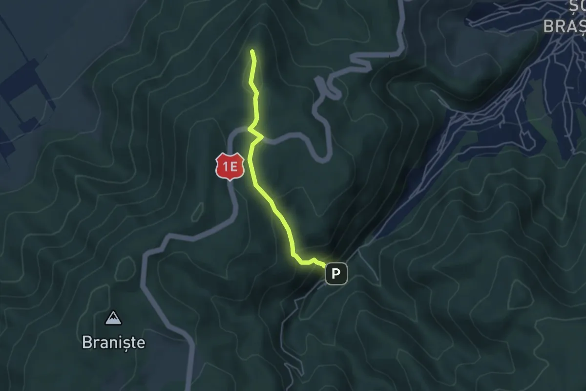
Easy · Summit
Brașov (Solomon) - Vâlcelul Dracului - Stejerișul Mare
3.8 km · ↑ 254 m · 1 h 27 min · 8 km away
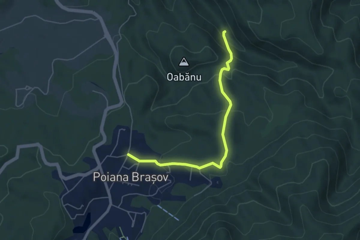
Easy · Trail
Poiana Brașov - Poiana Nisipului - Valea cu Apă
4.9 km · ↑ 267 m · 1 h 44 min · 8 km away
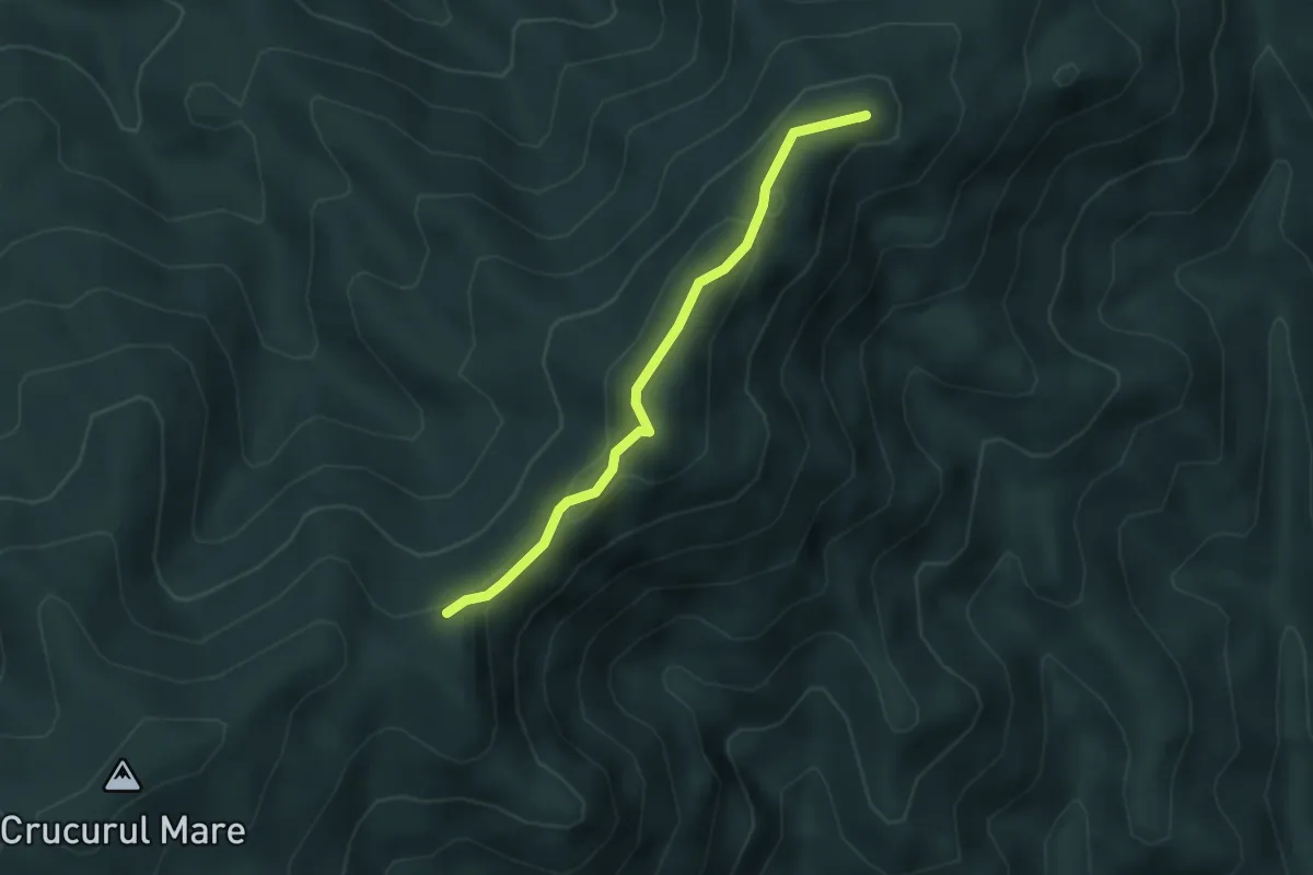
Easy · Summit
Brașov (cartier Noua) - Piscul Lung - Culmea Crucuru
3.3 km · ↑ 136 m · 1 h 4 min · 10 km away
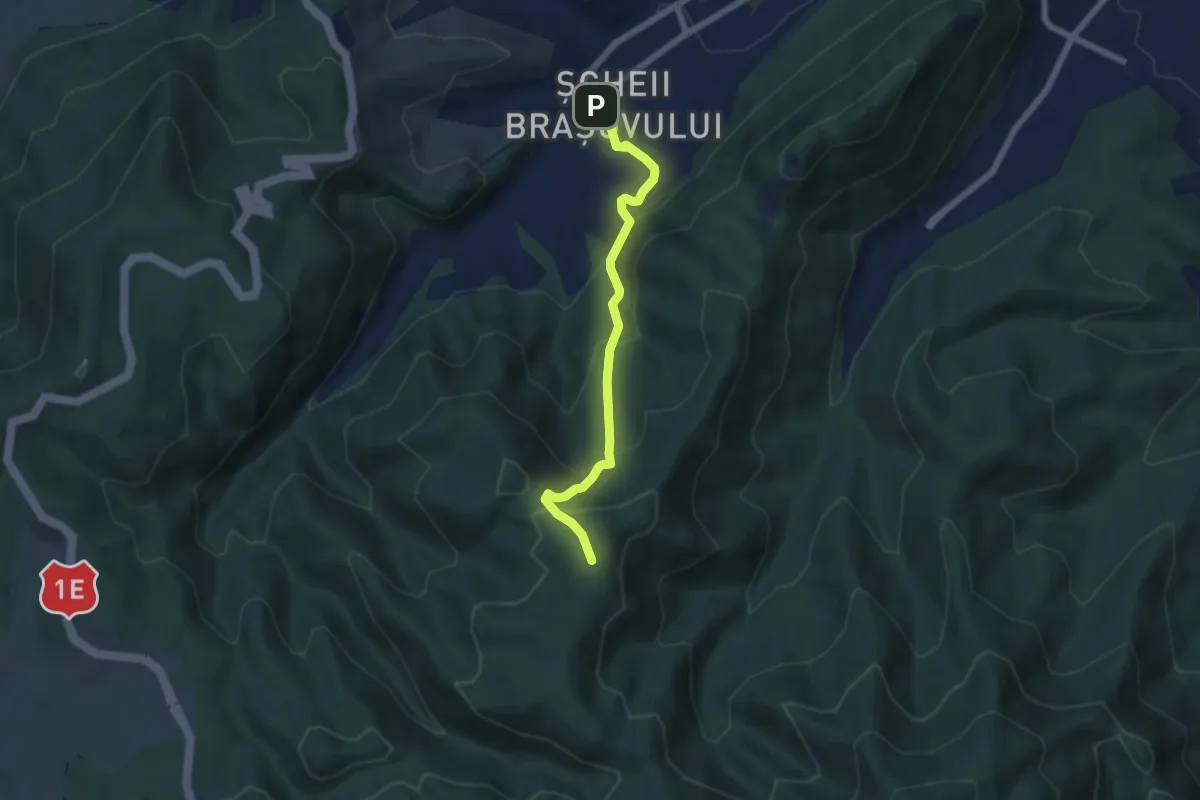
Medium · Trail
Brașov (cartier Șchei) - Crucea Dreptății - Poiana lui Stechil
5.8 km · ↑ 454 m · 2 h 22 min · 10 km away
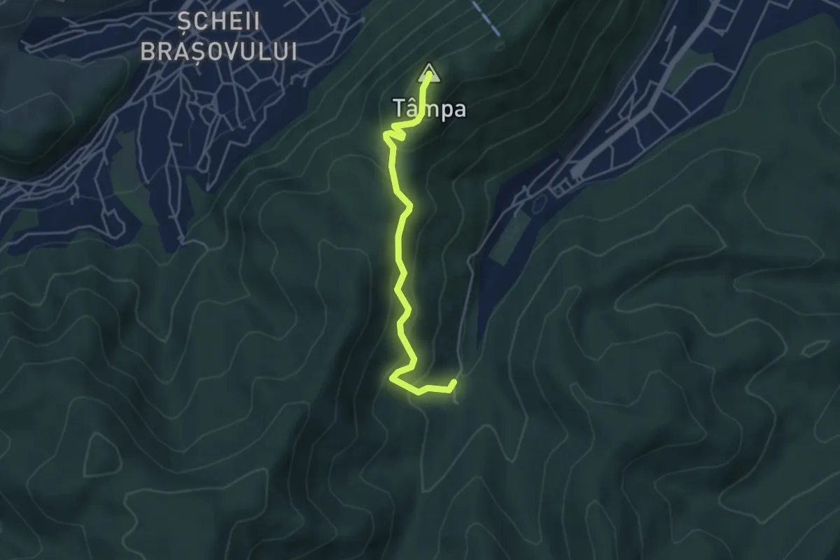
Easy · Summit
Brașov (centru) - Treptele lui Gabony - Vf. Tâmpa - Șaua Tâmpa - Valea Cetății
4.0 km · ↑ 286 m · 1 h 33 min · 11 km away
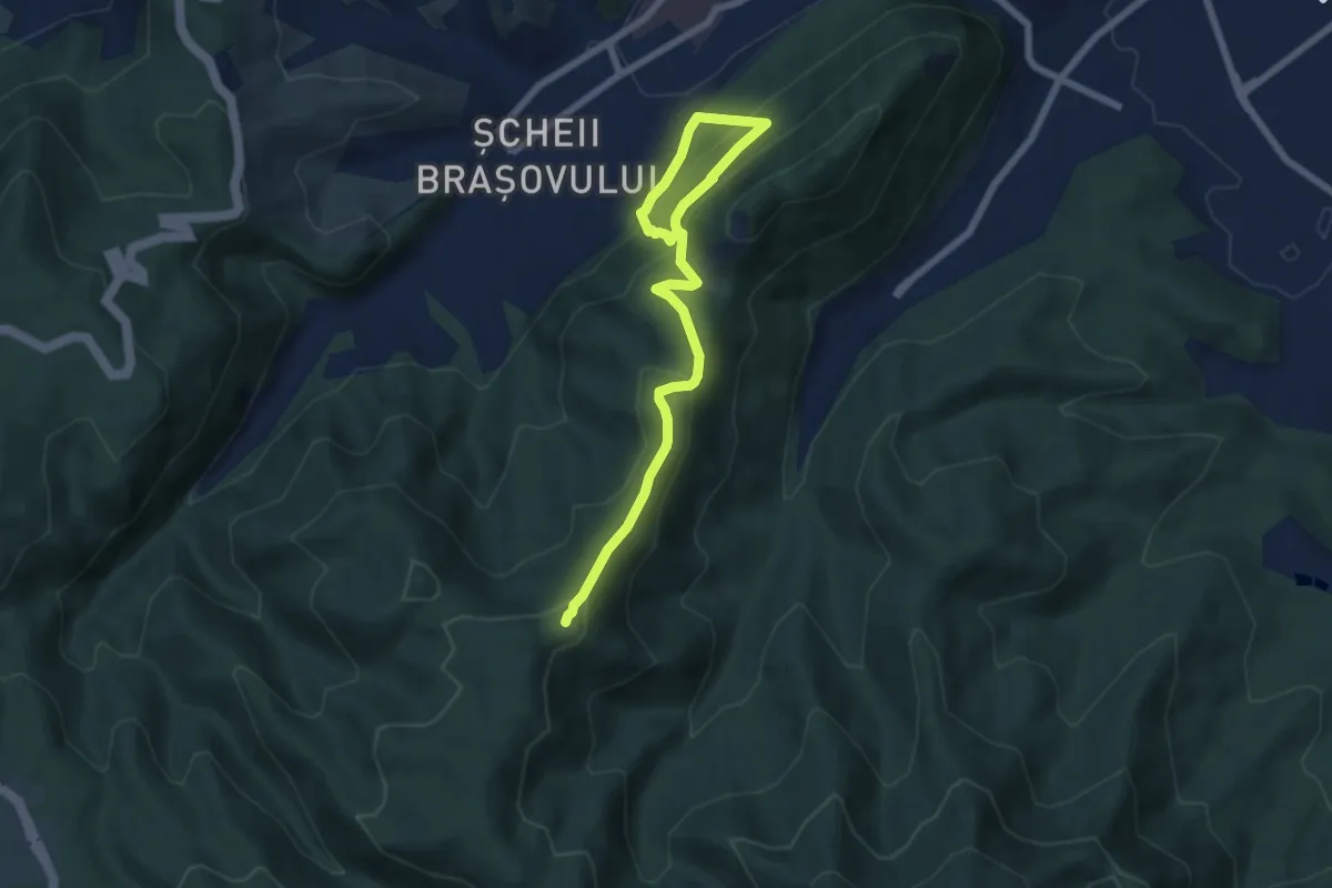
Medium · Summit
Brașov (centru) - Poiana lui Stechil - Culmea Crucuru
7.8 km · ↑ 615 m · 3 h 10 min · 11 km away
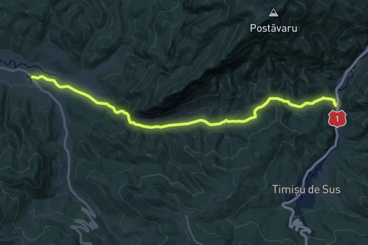
Demanding · Trail
Fosta Cabană Cheia - Cheile Râșnoavei - Timișu de Sus
18.2 km · ↑ 769 m · 5 h 58 min · 11 km away
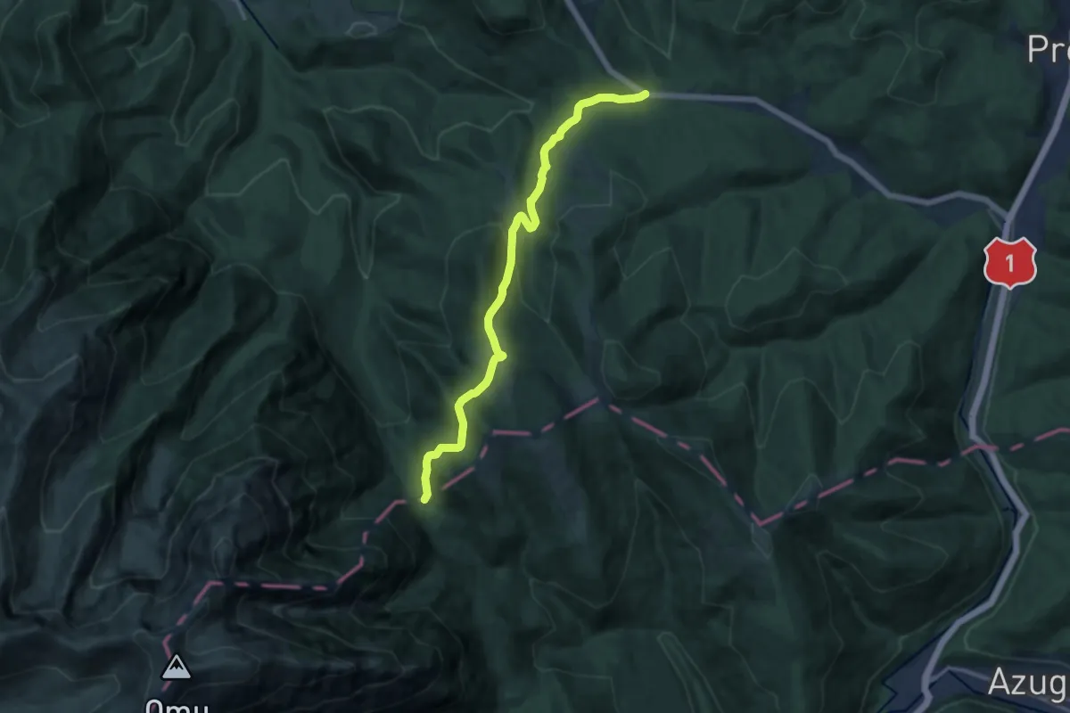
Medium · Trail
La Șipote - Poiana Pichetul Roșu
11.9 km · ↑ 513 m · 3 h 55 min · 11 km away
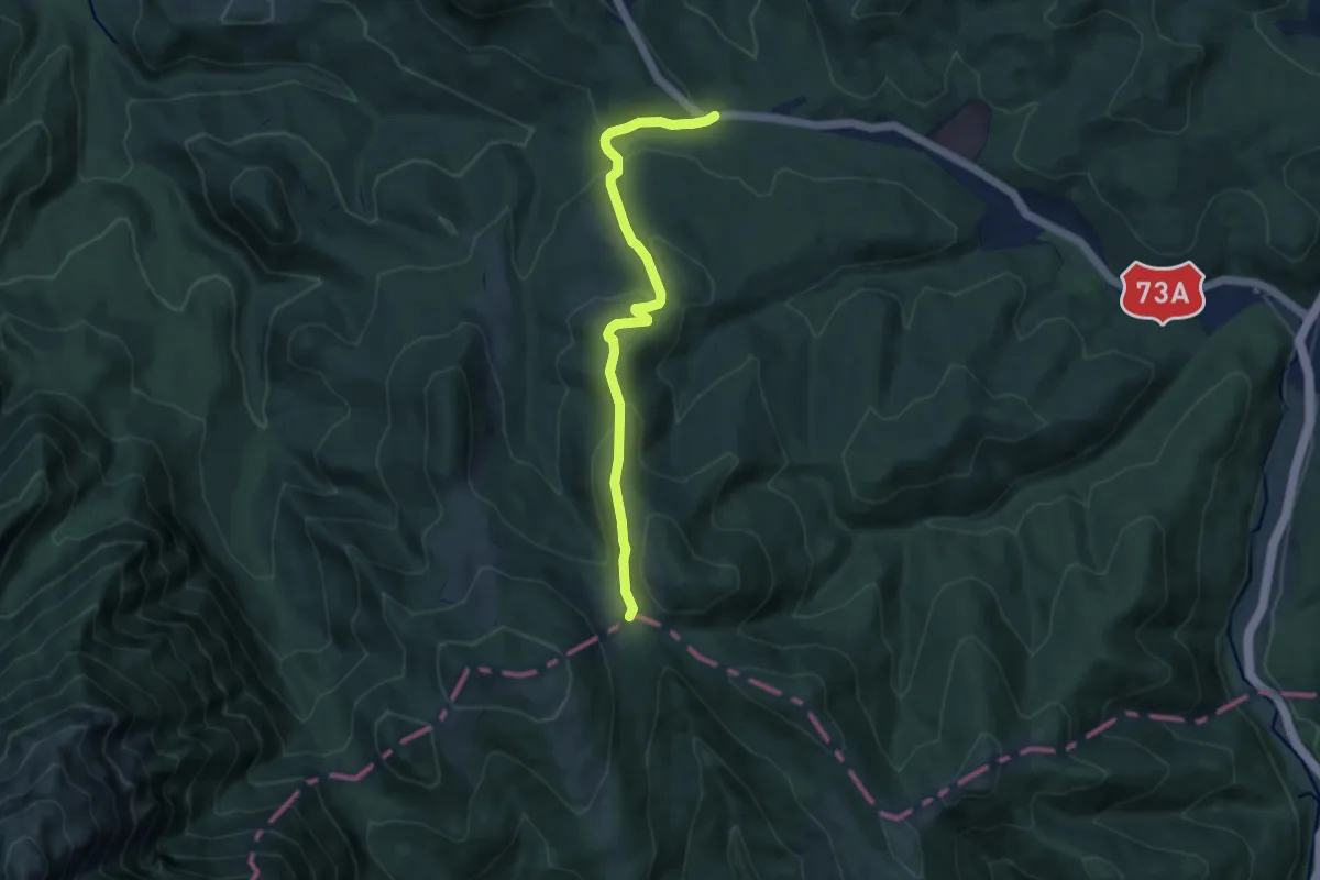
Medium · Cabin
La Șipote - Șaua Baiului
8.5 km · ↑ 315 m · 2 h 42 min · 11 km away
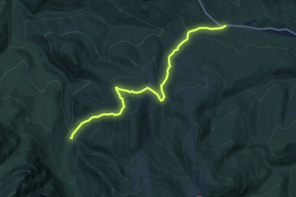
Medium · Trail
La Șipote - Valea Glăjăriei
9.7 km · ↑ 458 m · 3 h 17 min · 11 km away
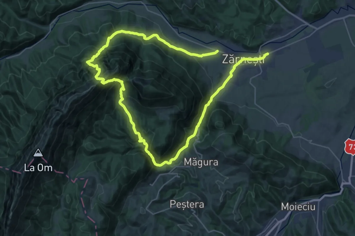
Demanding · Trail
Zărnești -Brâna Caprelor-Zărnești
20.2 km · ↑ 1355 m · 7 h 58 min · 11 km away
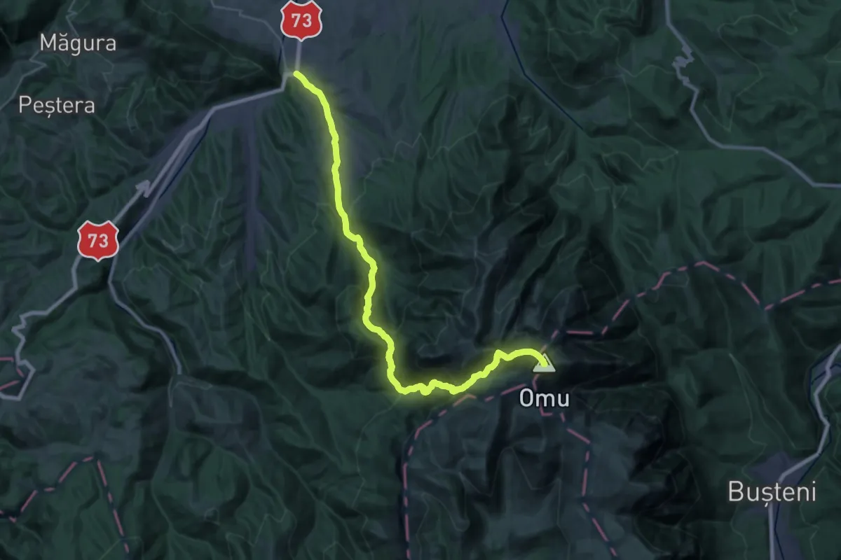
Demanding · Summit
Bran - Poiana Gaura - Cabana Omu
30.8 km · ↑ 2068 m · 11 h 45 min · 11 km away
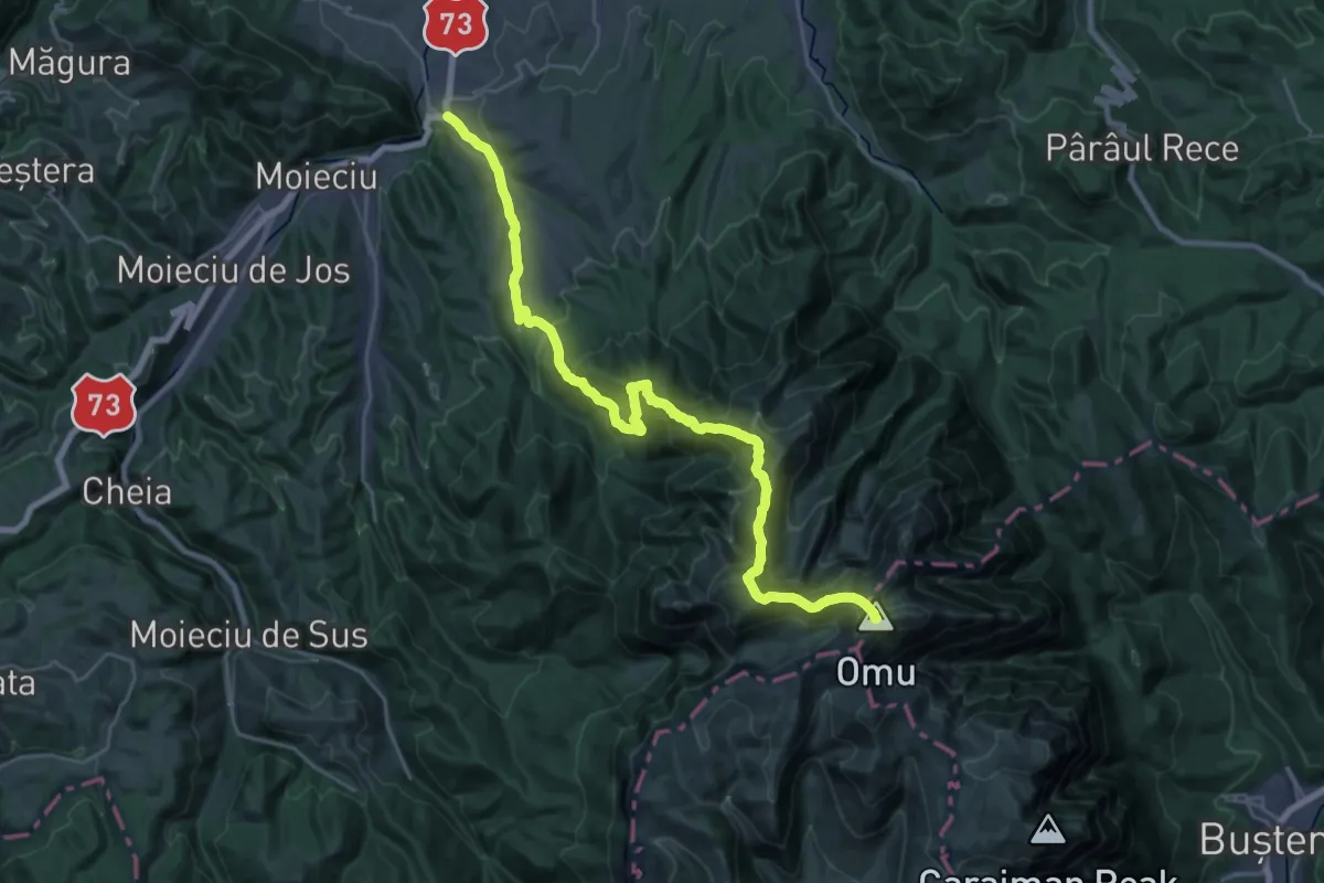
Expert · Summit
Bran - Șaua Țigănești - Cabana Omu
29.8 km · ↑ 2002 m · 11 h 22 min · 11 km away
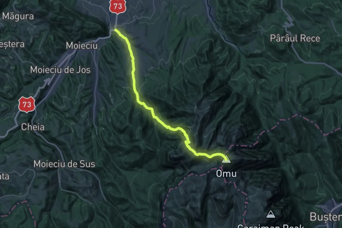
Demanding · Summit
Bran - Vârful Scara - Cabana Omu
25.7 km · ↑ 1932 m · 10 h 16 min · 11 km away
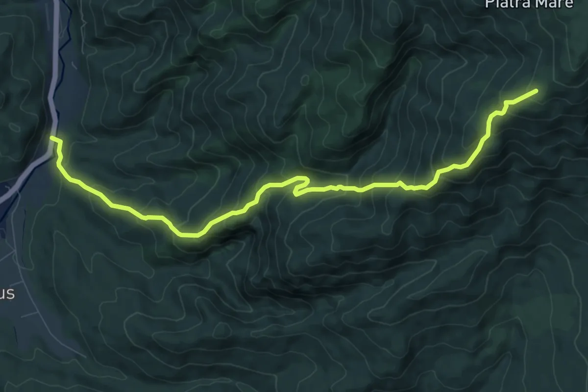
Demanding · Trail
Timișu de Sus - Cascada Tamina - Stâna sub Piatra Scrisă
10.7 km · ↑ 908 m · 4 h 30 min · 11 km away
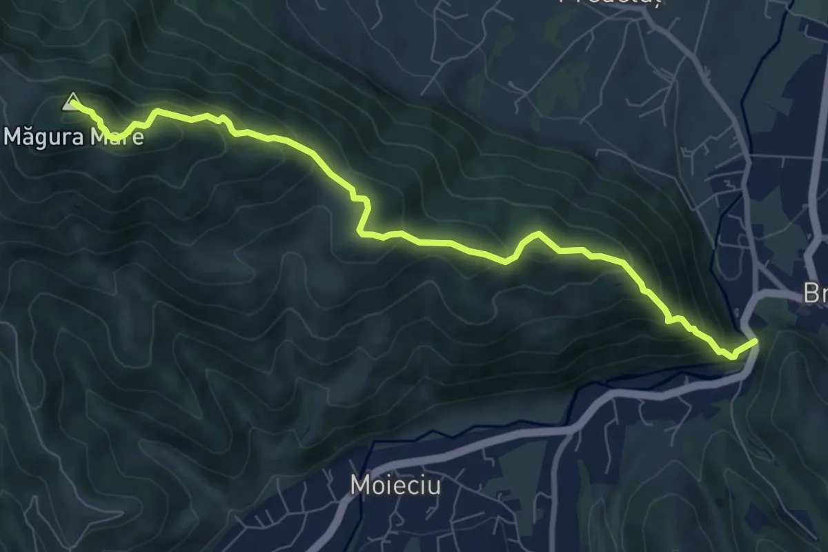
Medium · Summit
Bran-sub Măgura Mare-Măgura
8.6 km · ↑ 647 m · 3 h 26 min · 12 km away
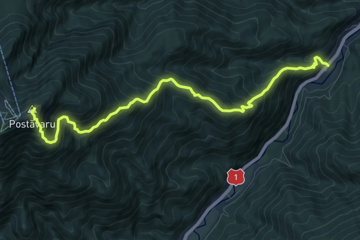
Demanding · Summit
Timișu de Jos - Cabana Postăvaru/Julius Romer - Brașov
10.8 km · ↑ 1104 m · 4 h 56 min · 12 km away
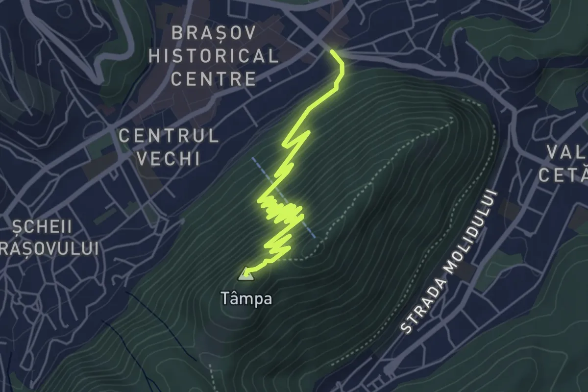
Medium · Summit
Brașov (centru) - Drumul Serpentinelor - Vf. Tâmpa
6.3 km · ↑ 330 m · 2 h 12 min · 12 km away
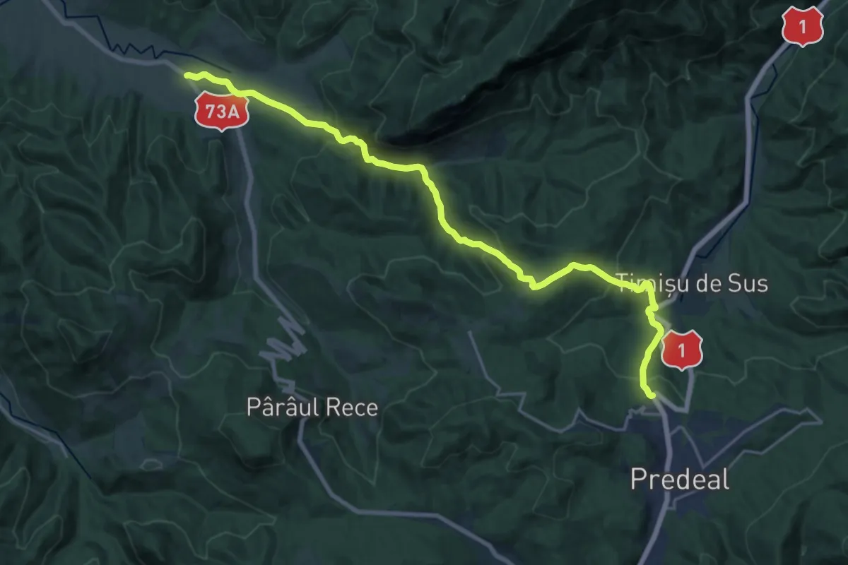
Demanding · Trail
Fosta Cabană Cheia - Cheile Râșnoavei - Predeal
20.3 km · ↑ 923 m · 6 h 47 min · 12 km away
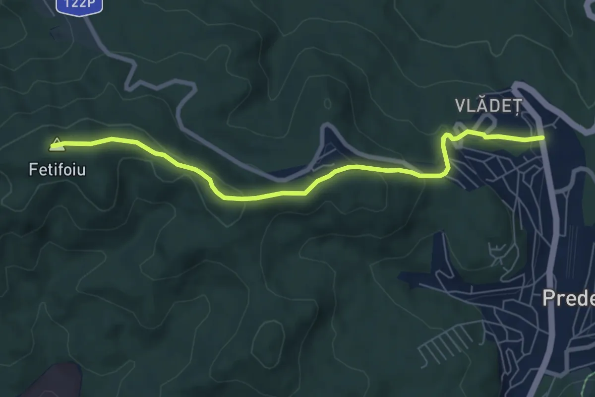
Easy · Summit
Predeal - Fetifoiu - La Șipote
6.5 km · ↑ 293 m · 2 h 10 min · 12 km away
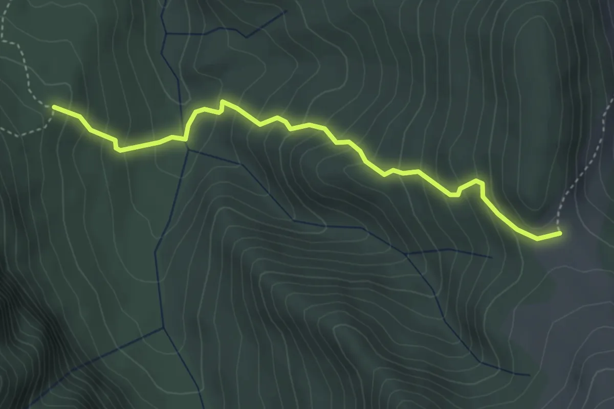
Medium · Cabin
Cabana Diham - Poiana Mălăiești Izvor
4.1 km · ↑ 397 m · 1 h 50 min · 12 km away
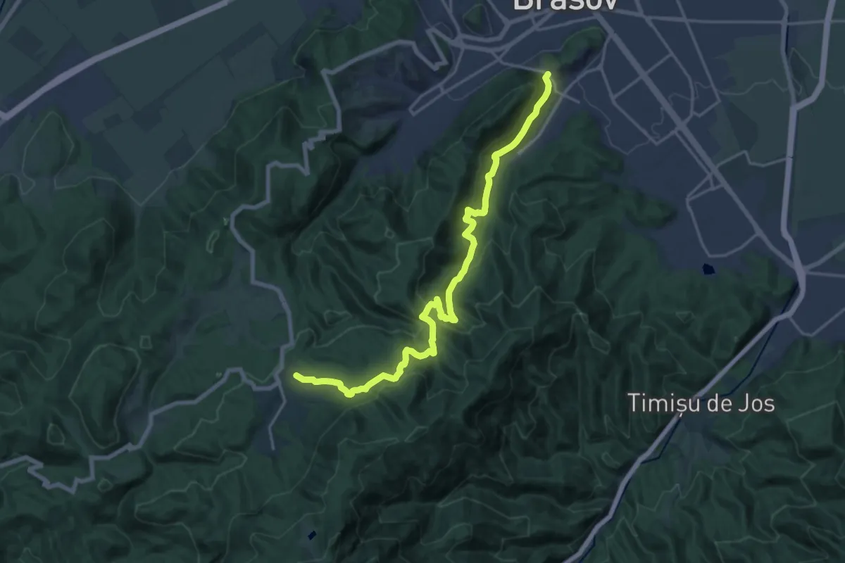
Demanding · Trail
Șaua Tâmpei - Valea Cetății - Poiana Brașov
19.0 km · ↑ 1006 m · 6 h 39 min · 12 km away
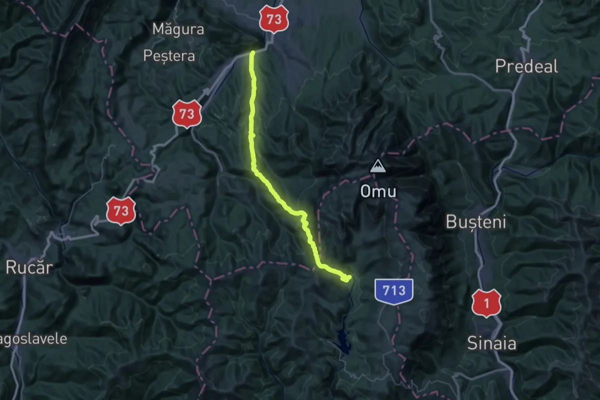
Demanding · Cabin
Șimon - Poiana Guțanu - Cabana Padina
19.1 km · ↑ 1185 m · 6 h 58 min · 12 km away
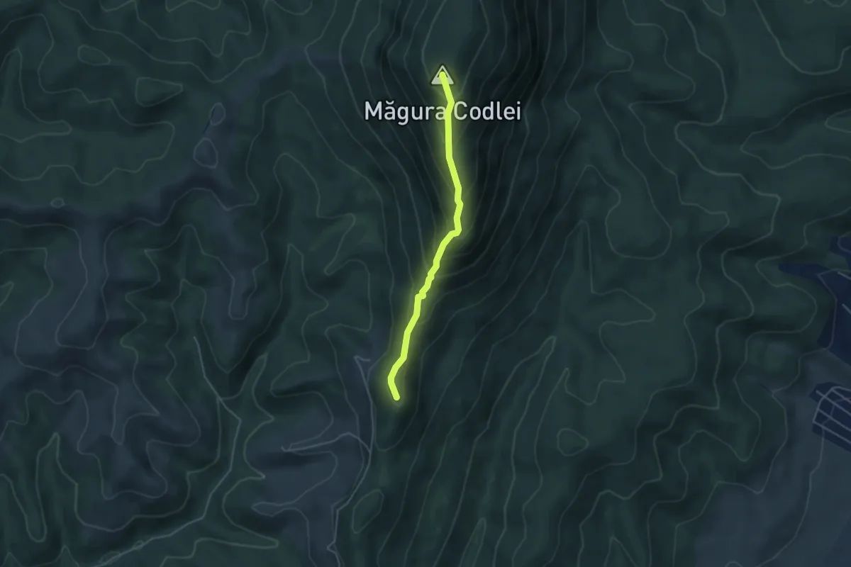
Medium · Summit
Complexul Turistic Codlea - Măgura Codlei - Cetatea Neagră
3.9 km · ↑ 328 m · 1 h 37 min · 12 km away
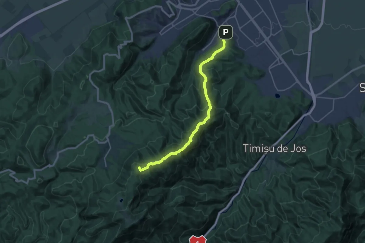
Demanding · Summit
Brașov (Valea Cetății) - Culmea Crucuru - Cabana Postăvaru
16.4 km · ↑ 951 m · 5 h 56 min · 13 km away
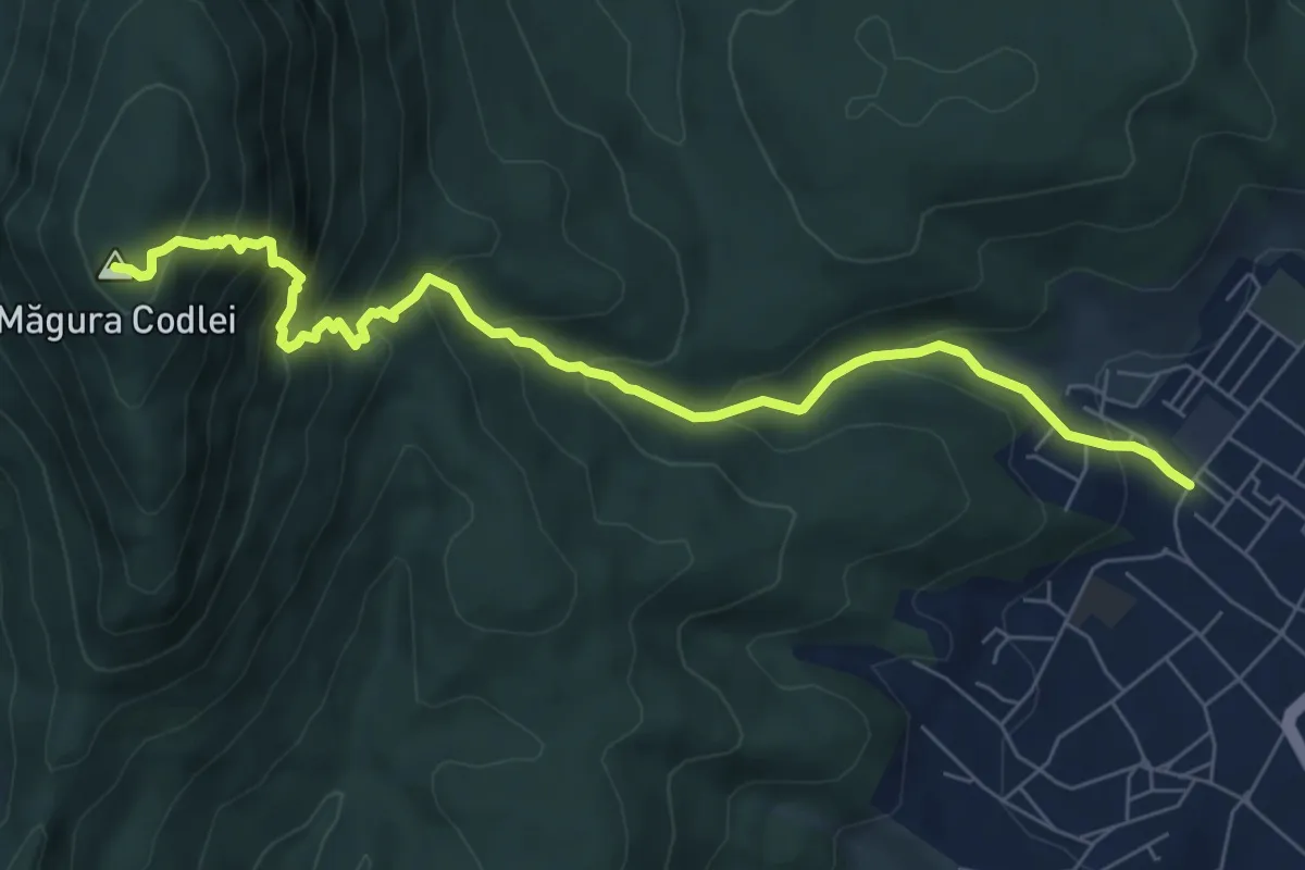
Medium · Summit
Codlea - Piatra Albă - Vf. Măgura Codlei
7.8 km · ↑ 708 m · 3 h 23 min · 13 km away
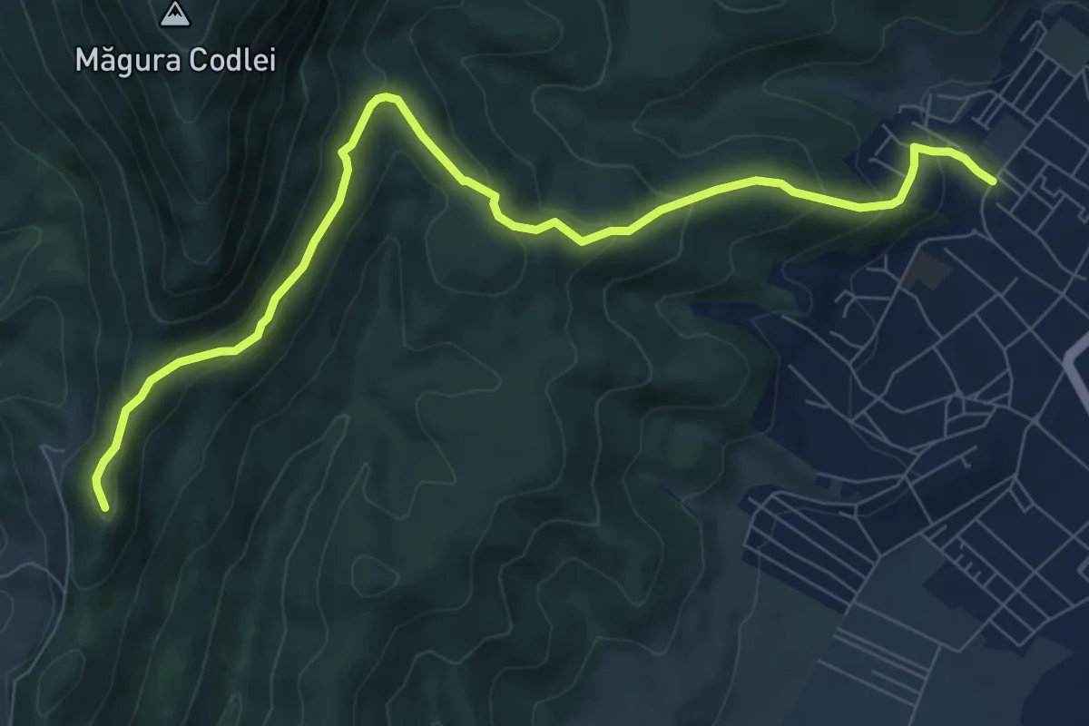
Medium · Trail
Codlea - Mărul Dulce - Cetatea Neagră
9.3 km · ↑ 462 m · 3 h 11 min · 13 km away
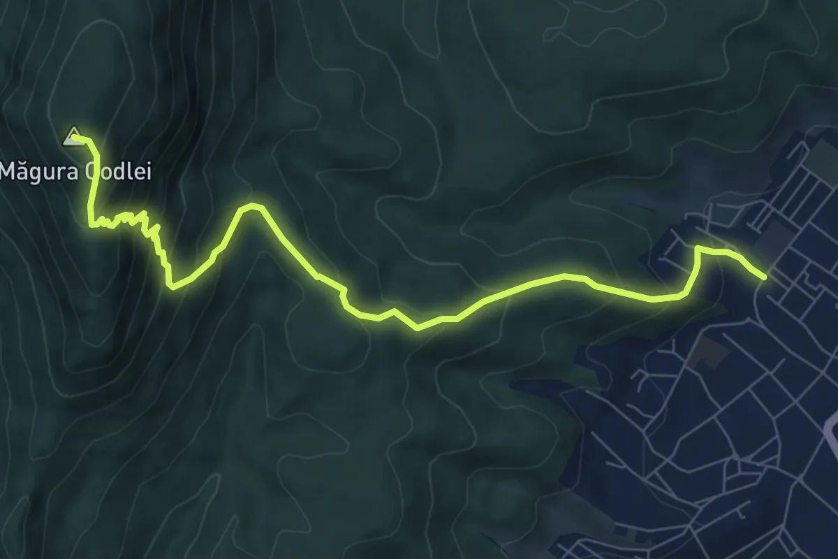
Medium · Summit
Codlea - Mărul Dulce - Măgura Codlei
8.9 km · ↑ 690 m · 3 h 36 min · 13 km away
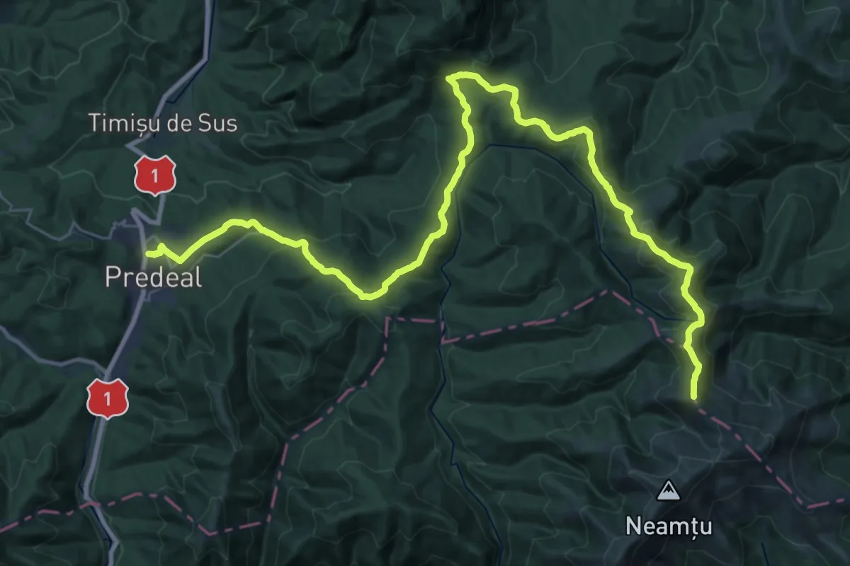
Demanding · Summit
Predeal - Șaua Pietricica - Pasul Predeluș
39.1 km · ↑ 1906 m · 13 h 21 min · 13 km away
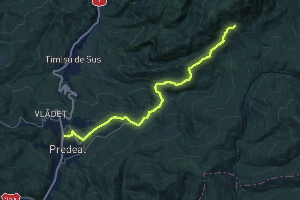
Demanding · Trail
Predeal - Tunelul Mare - deasupra Poienii Stânei din Pietricica
16.4 km · ↑ 992 m · 6 h 1 min · 13 km away
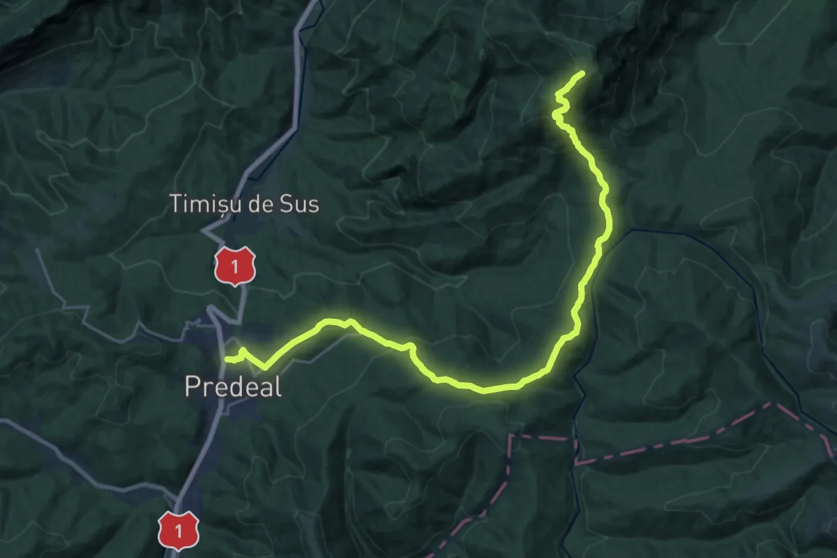
Demanding · Summit
Predeal - Șaua Pietricica - sub Vf. Piatra Mare
23.1 km · ↑ 1226 m · 8 h 7 min · 13 km away
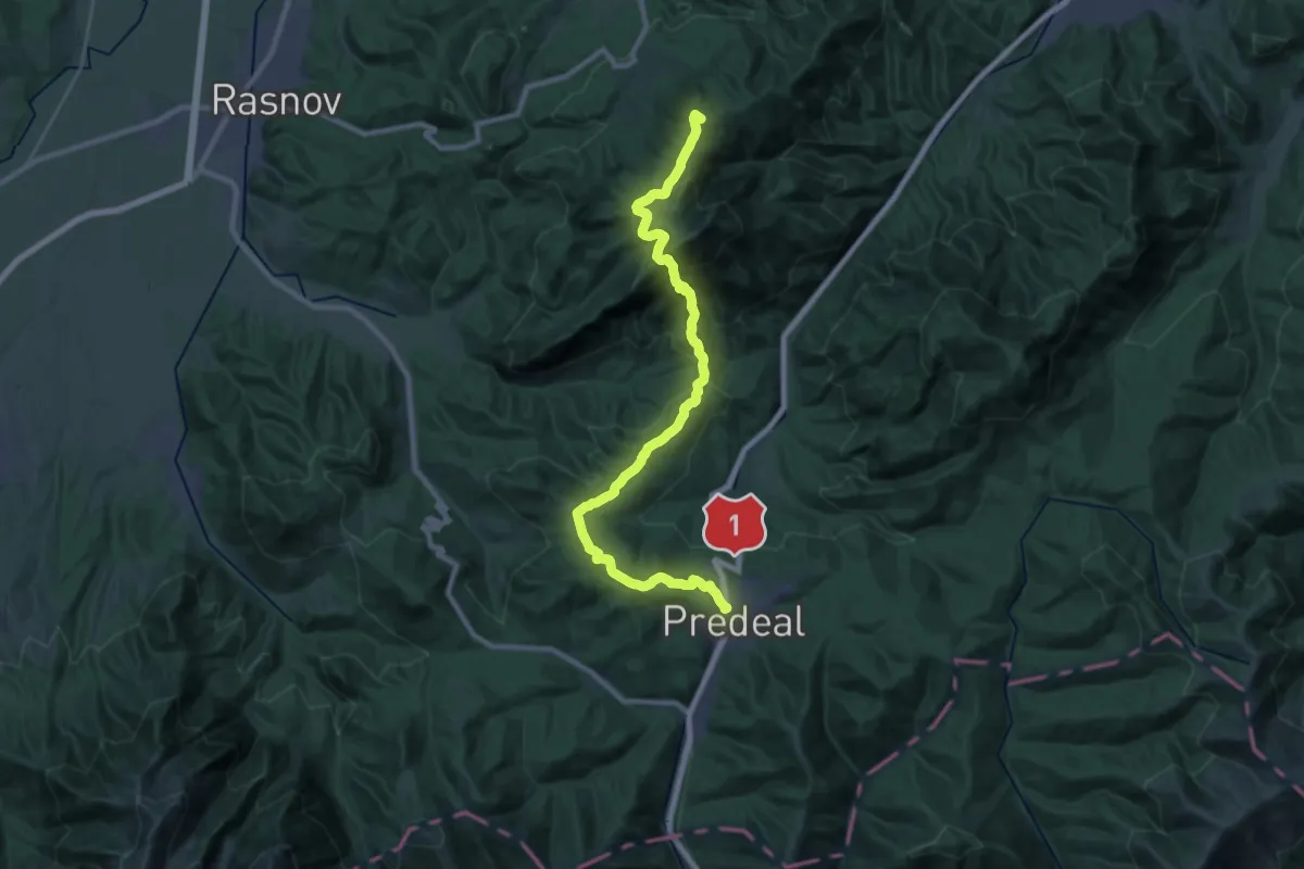
Demanding · Summit
Brașov (Solomon) - Vf. Postăvaru - Predeal
29.8 km · ↑ 1496 m · 10 h 16 min · 13 km away
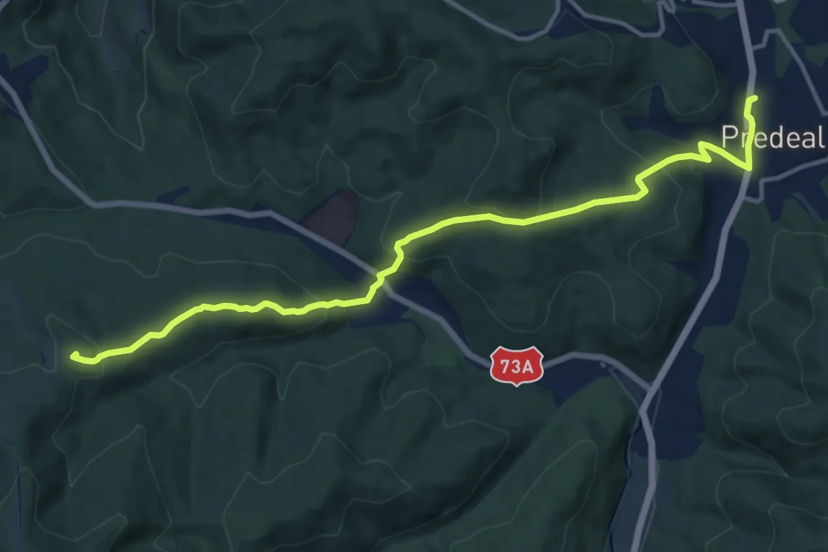
Medium · Summit
Predeal - Forban - Valea Frăsinet
12.2 km · ↑ 556 m · 4 h 5 min · 13 km away
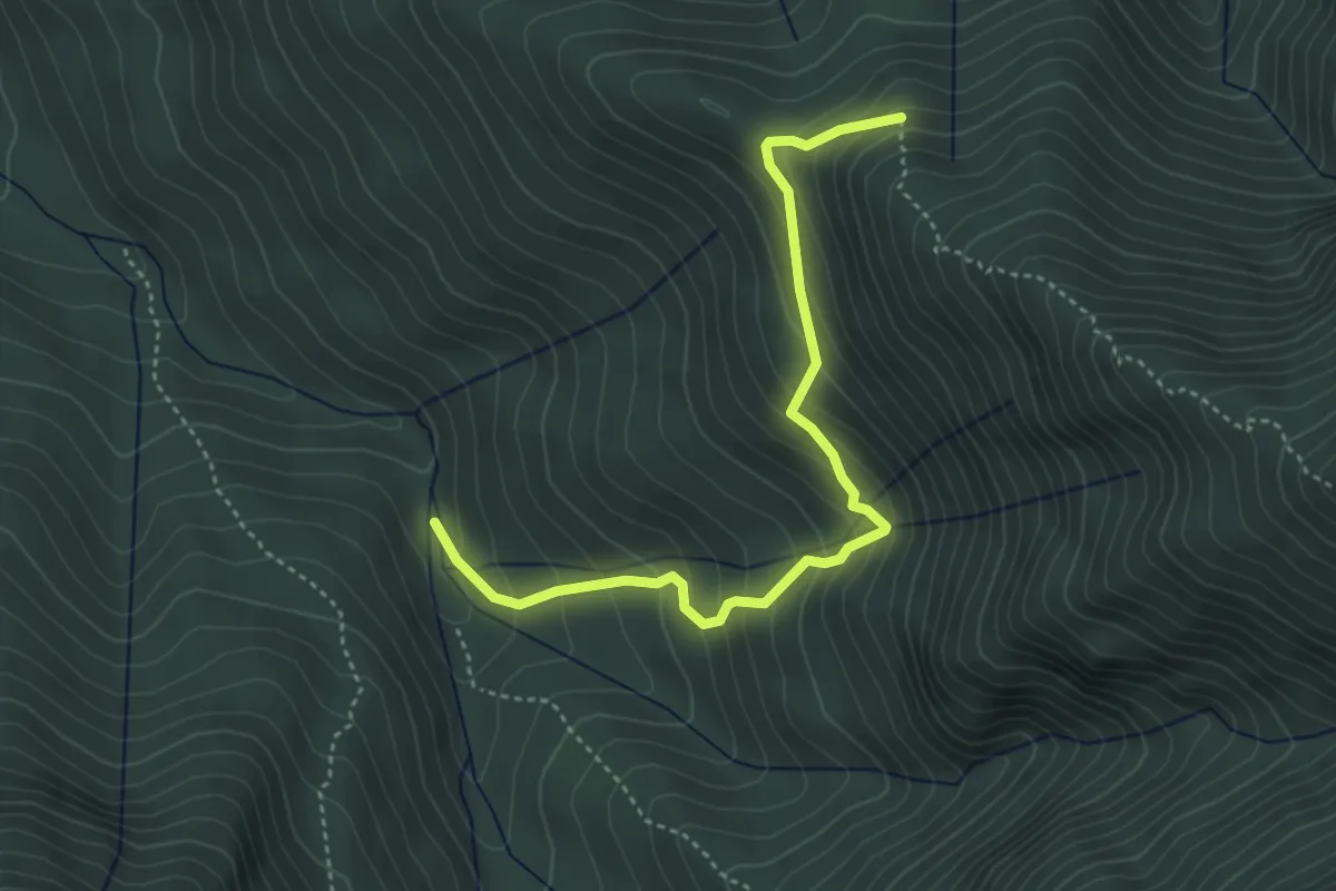
Medium · Trail
Muchia Clincii - Valea Ciubotea
4.3 km · ↑ 407 m · 1 h 54 min · 13 km away