Trails near Sfântu Gheorghe
22 hikes starting within 15 km, nearest first.
Nearest first
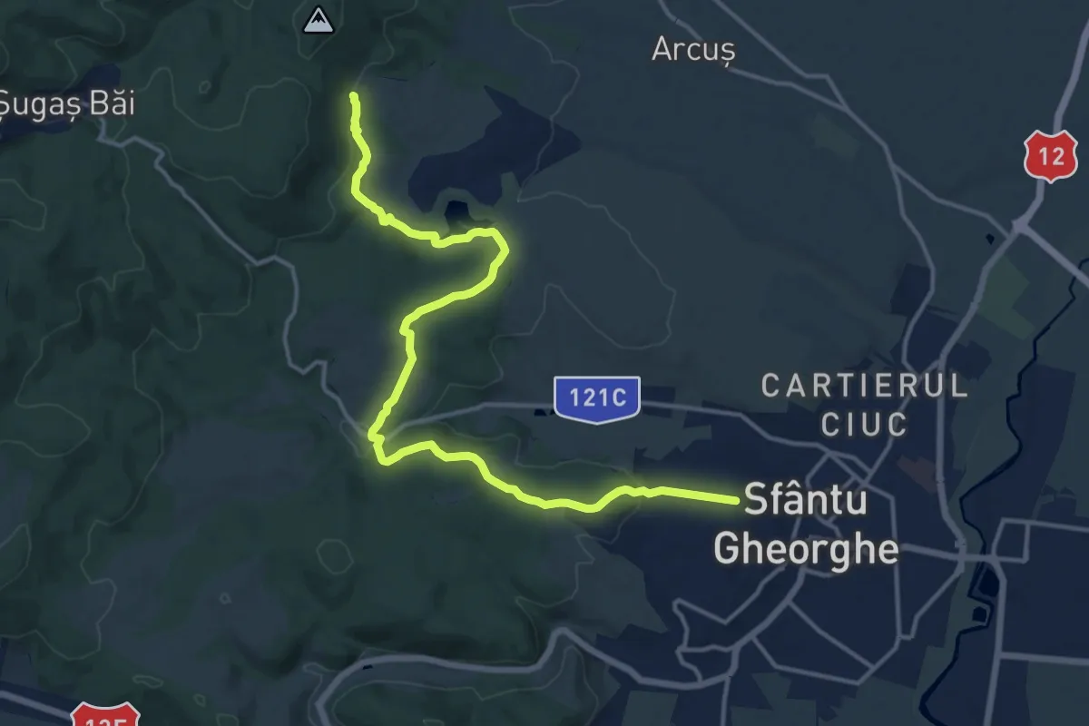
Medium · Trail
Sfântu Gheorghe - Pădurea Rotundă - TA
16.2 km · ↑ 438 m · 4 h 47 min · 1 km away
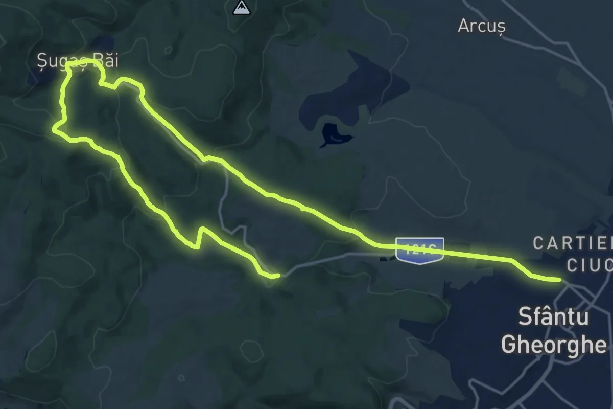
Demanding · Trail
Sfântu Gheorghe - Băile Șugaș - Izv. Honvéd
25.1 km · ↑ 774 m · 7 h 36 min · 1 km away
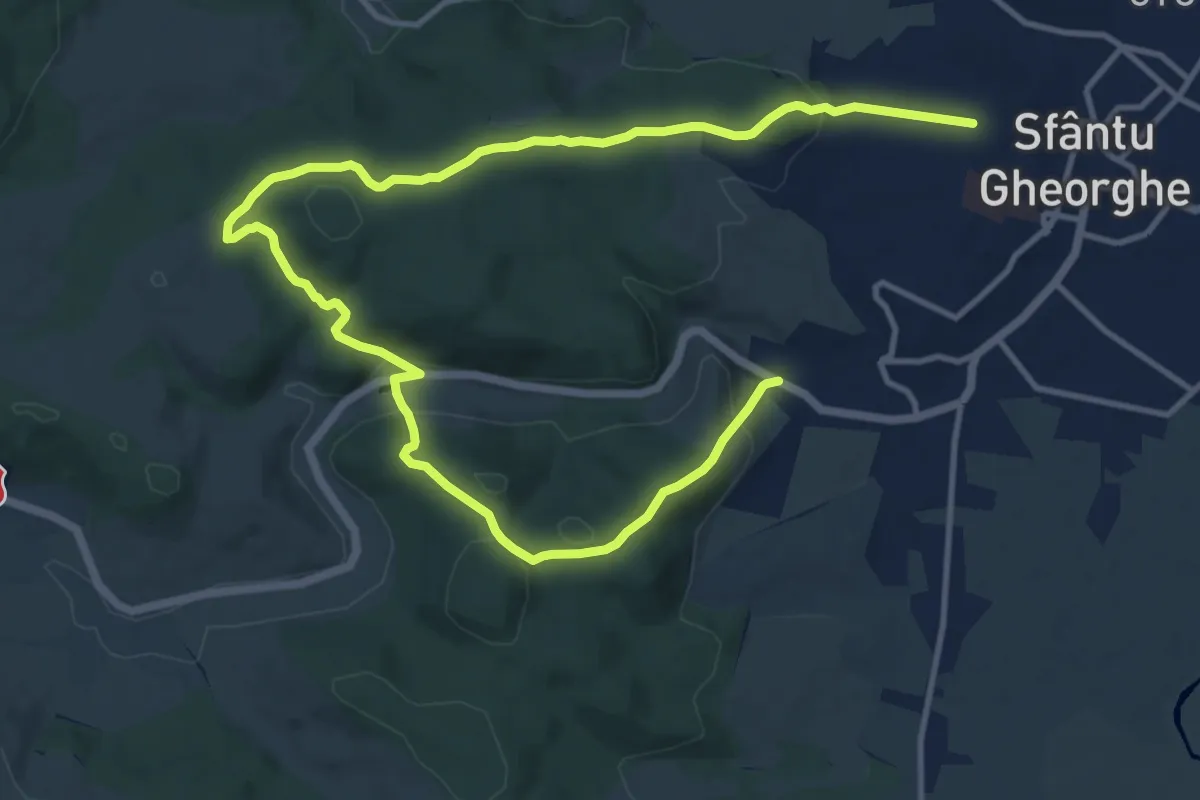
Medium · Trail
Sfântu Gheorghe - Sfântu Gheorghe
8.9 km · ↑ 291 m · 2 h 50 min · 2 km away
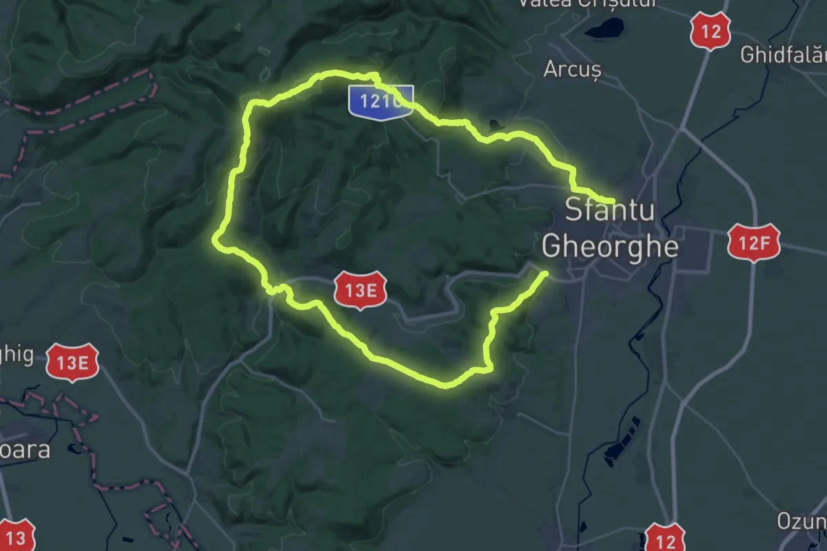
Demanding · Summit
Sfântu Gheorghe - Băile Șugaș - Sfântu Gheorghe
27.0 km · ↑ 842 m · 8 h 35 min · 2 km away
Easy · Trail
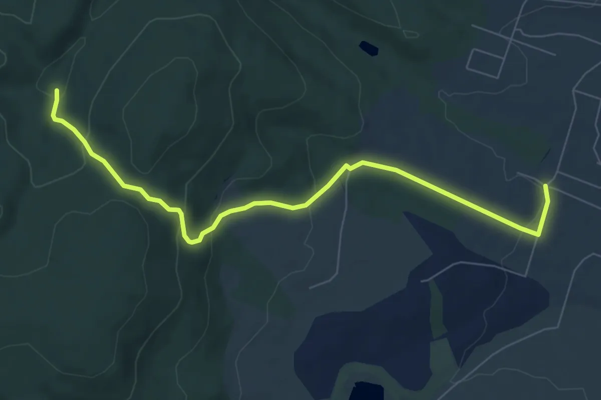
Arcuș - Băile Șugaș
7.5 km · ↑ 276 m · 2 h 23 min · 4 km away
Easy · Trail
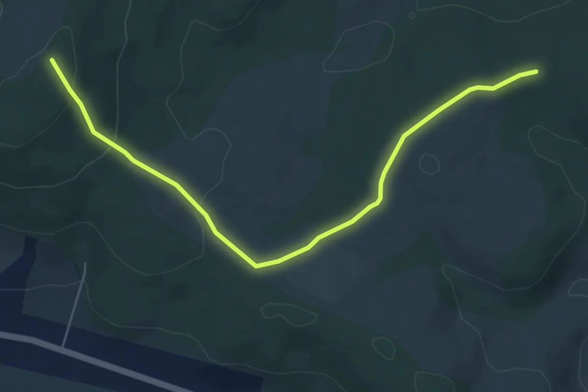
Poiana Marinka - Mosighet (BA)
6.0 km · ↑ 151 m · 1 h 45 min · 6 km away
Medium · Trail
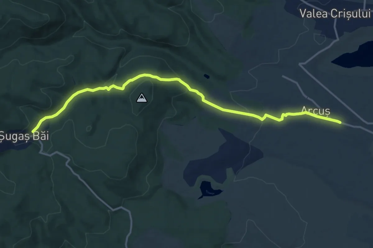
Arcuș - Băile Șugaș
12.7 km · ↑ 376 m · 3 h 49 min · 7 km away
Easy · Summit
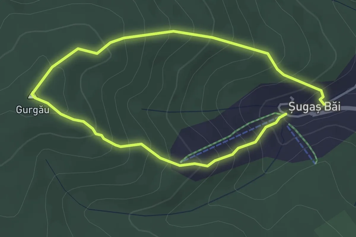
Băile Șugaș - Vf. Gurgău - Băile Șugaș
3.0 km · ↑ 246 m · 1 h 16 min · 7 km away
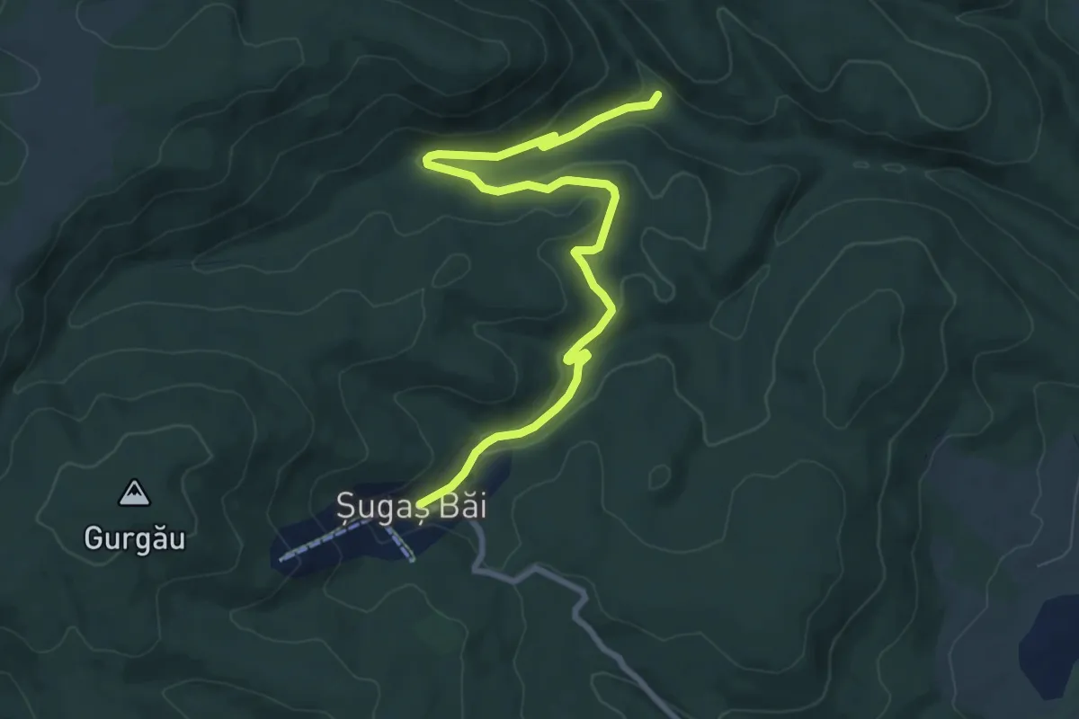
Medium · Trail
Cresta muntii Baraolt
9.0 km · ↑ 213 m · 2 h 36 min · 7 km away
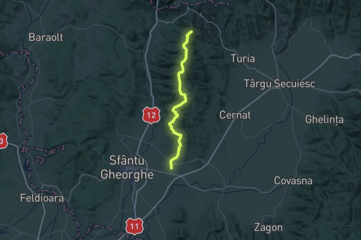
Demanding · Summit
Angheluș - Câmpul Sărat (Pasul Balvanyos)
64.2 km · ↑ 1917 m · 19 h 19 min · 8 km away
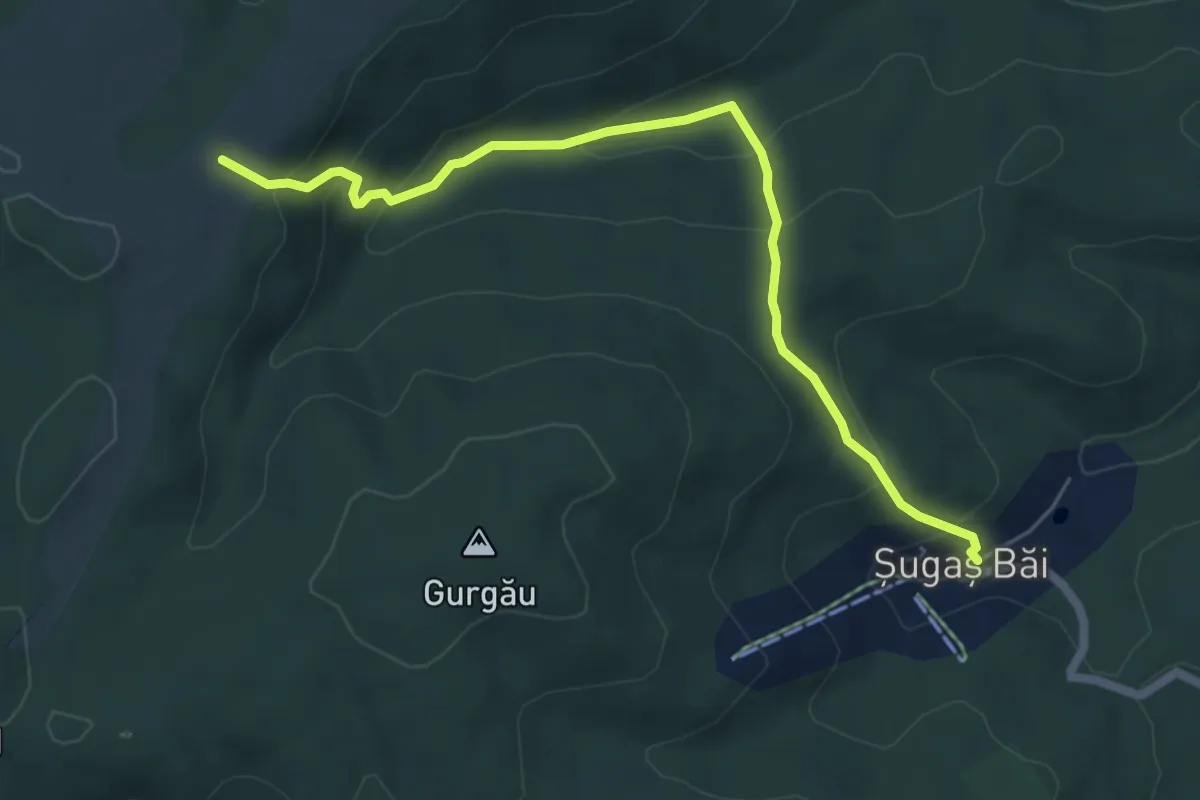
Medium · Trail
Băile Șugaș - Grădina Benkő
6.1 km · ↑ 382 m · 2 h 17 min · 9 km away
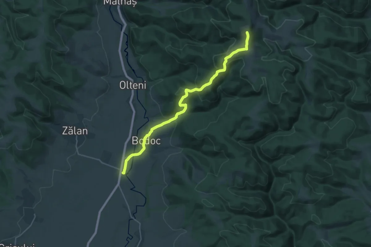
Demanding · Summit
Stația CFR Bodoc - Vf. Bodoc - Stația CFR Malnaș Băi
18.8 km · ↑ 683 m · 5 h 55 min · 10 km away
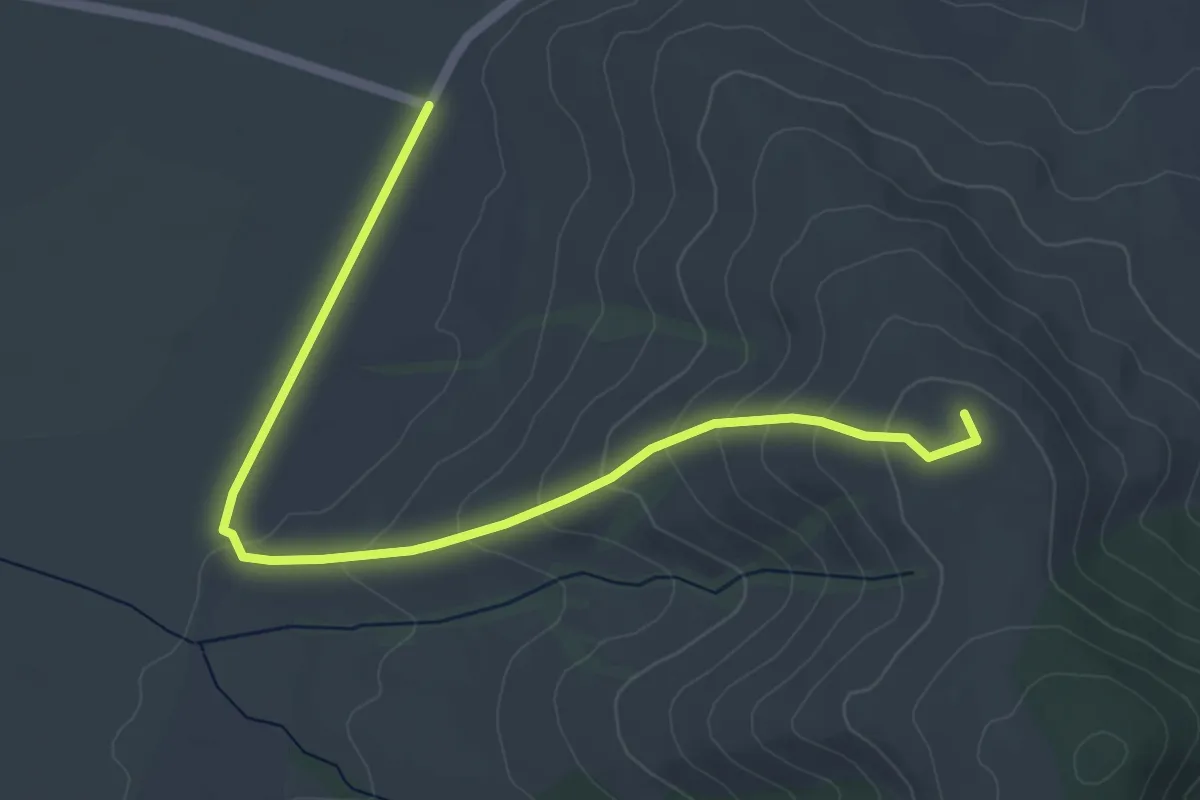
Easy · Summit
Lacurile Kupán – Vârful Lisnău (Csere)
5.7 km · ↑ 195 m · 1 h 46 min · 11 km away
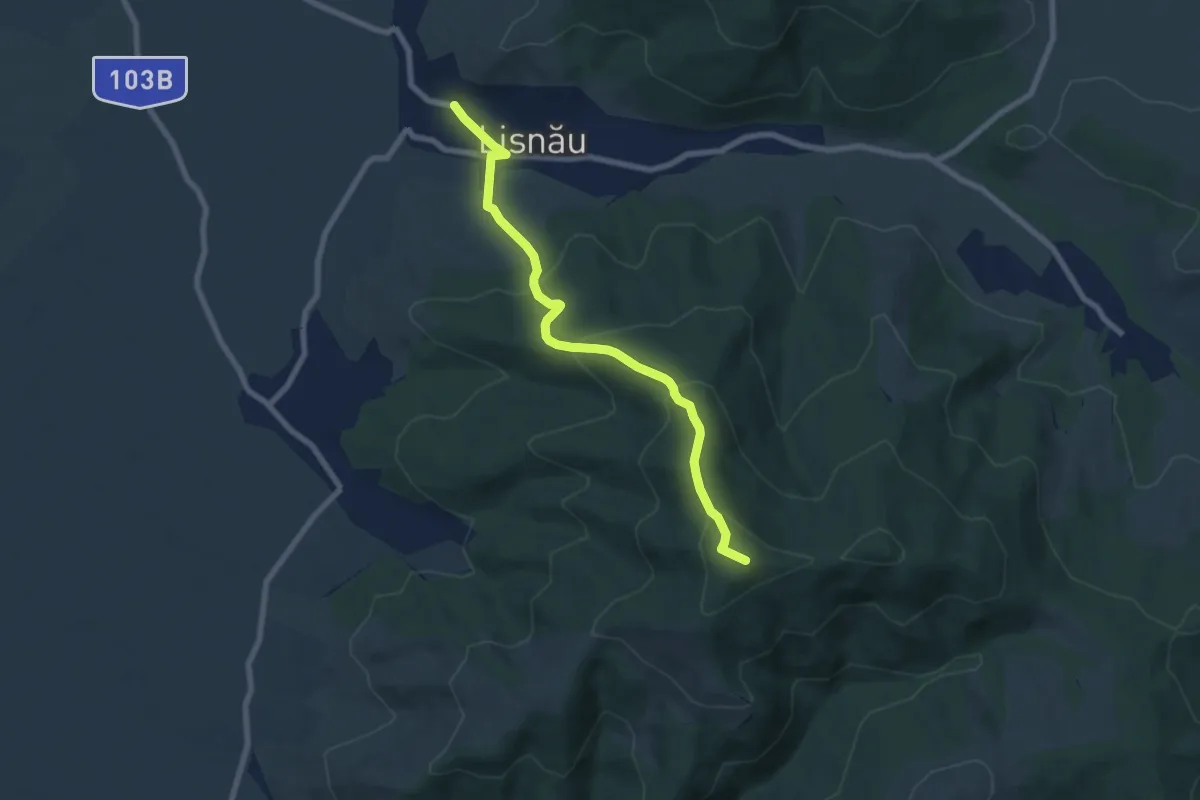
Medium · Summit
Bicfalău (Pensiunea Mókus) – Vârful Pietros – Lisnău
7.4 km · ↑ 412 m · 2 h 38 min · 12 km away
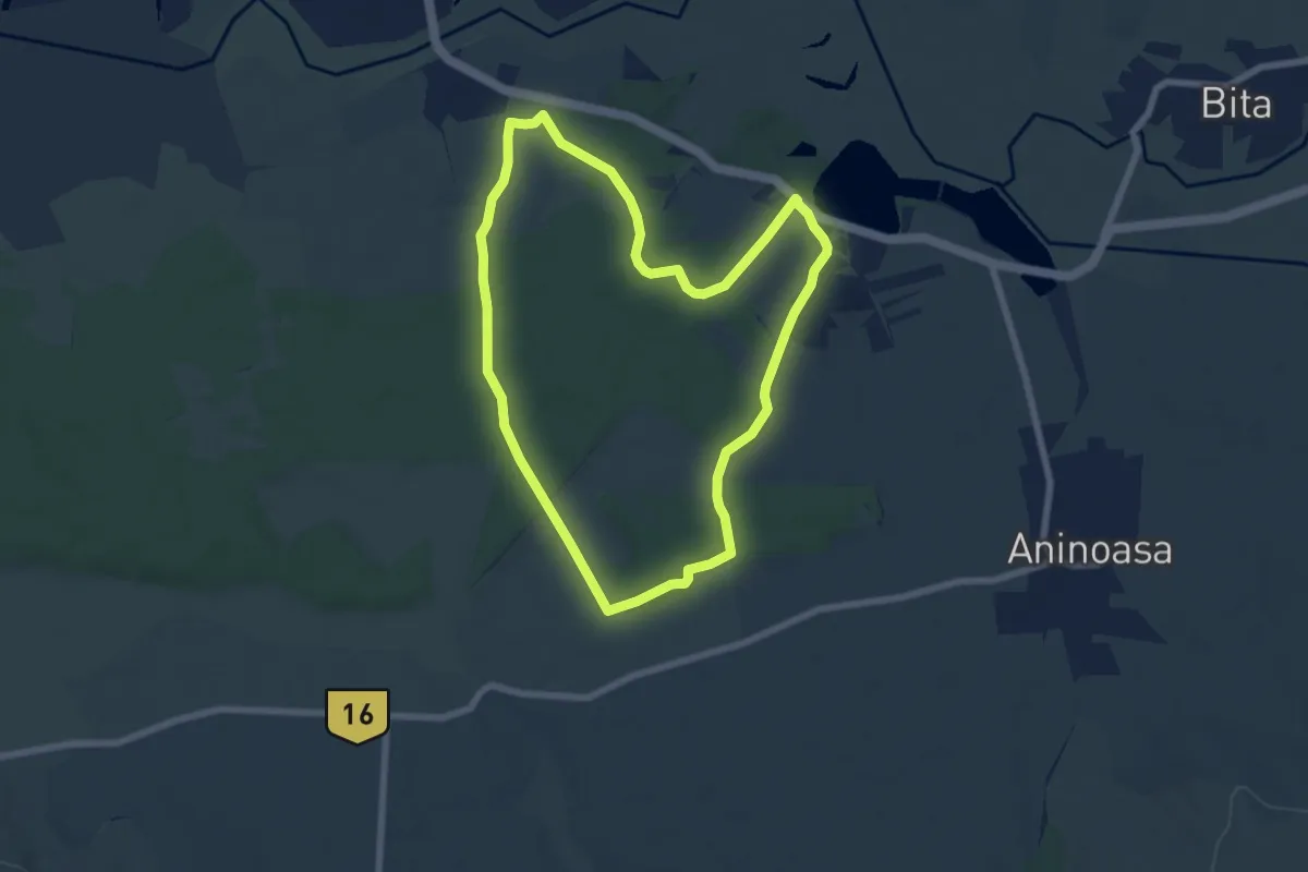
Easy · Trail
Drumul Zinelor
6.9 km · ↑ 44 m · 1 h 48 min · 13 km away
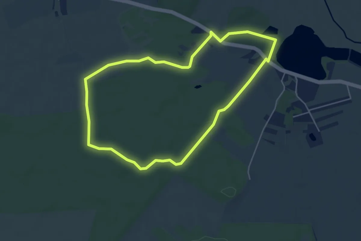
Easy · Trail
Drumul Homarka
4.4 km · ↑ 19 m · 1 h 8 min · 13 km away
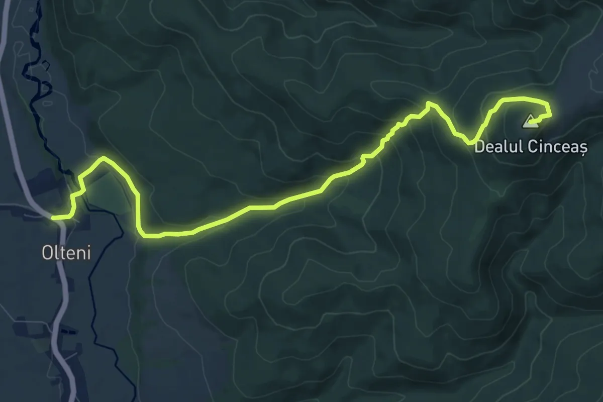
Medium · Summit
Olteni - Cetatea Kincsás
11.4 km · ↑ 549 m · 3 h 52 min · 13 km away
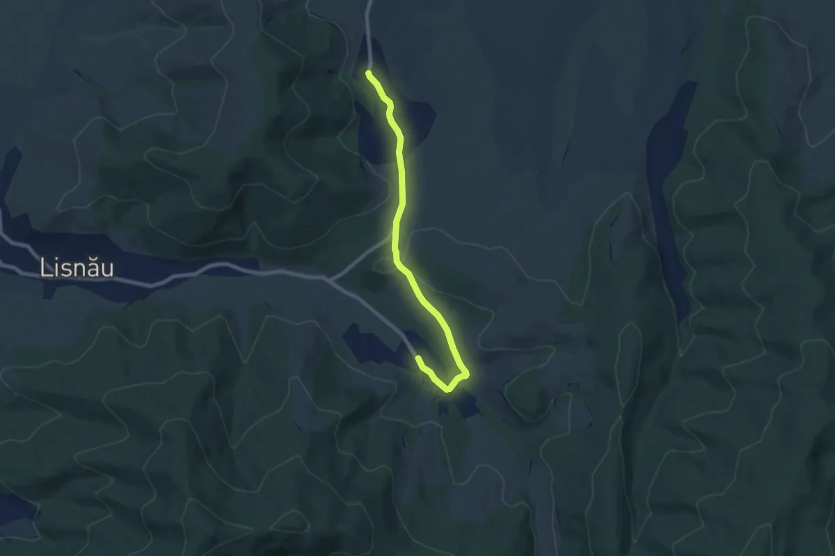
Easy · Trail
Măgheruș - DC26B- Lișnău-Vale
7.2 km · ↑ 84 m · 1 h 53 min · 13 km away
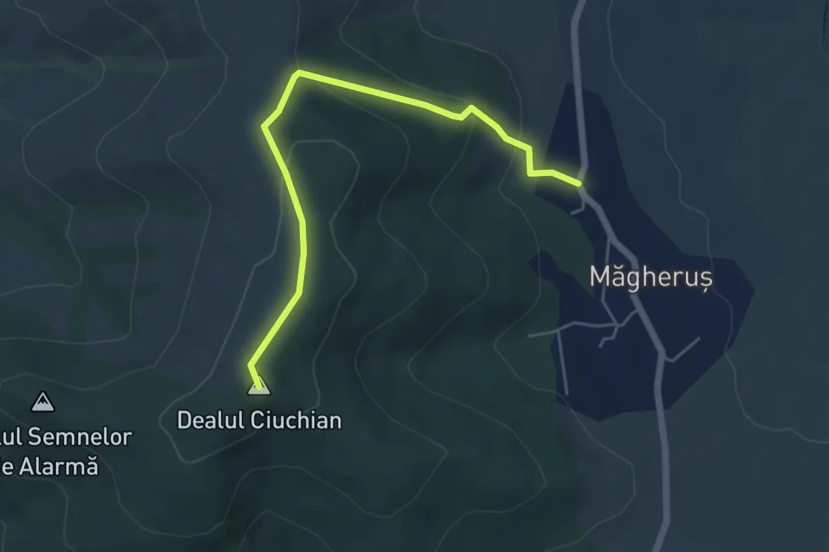
Easy · Summit
Măgheruș - Vârful Lișnău (Csere) - Lișnău
4.7 km · ↑ 204 m · 1 h 33 min · 13 km away
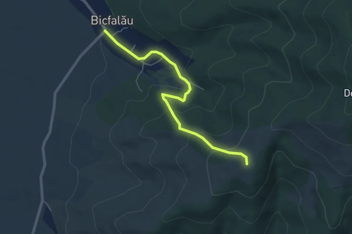
Easy · Summit
Bicfalău – belvedere Bicfalău – Dealul Hebea
4.5 km · ↑ 239 m · 1 h 36 min · 14 km away
Easy · Summit
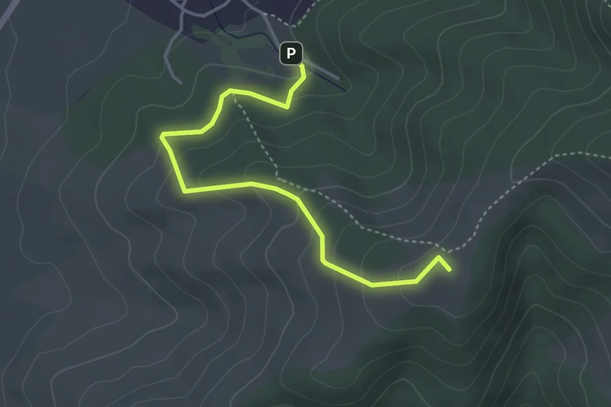
Bicfalău (Pensiunea Mókus) – belvedere Bârsa – Dealul Hebea
4.0 km · ↑ 220 m · 1 h 25 min · 15 km away
Medium · Trail
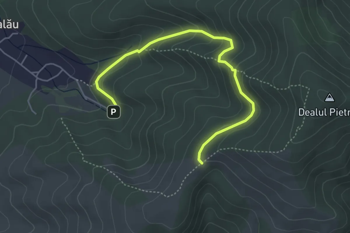
Bicfalău (Pensiunea Mókus) – Ruinele Cetăţii Melcului (Csiga) – Dealul Hebea
4.9 km · ↑ 250 m · 1 h 42 min · 15 km away