Trails near Vașcău
14 hikes starting within 15 km, nearest first.
Nearest first
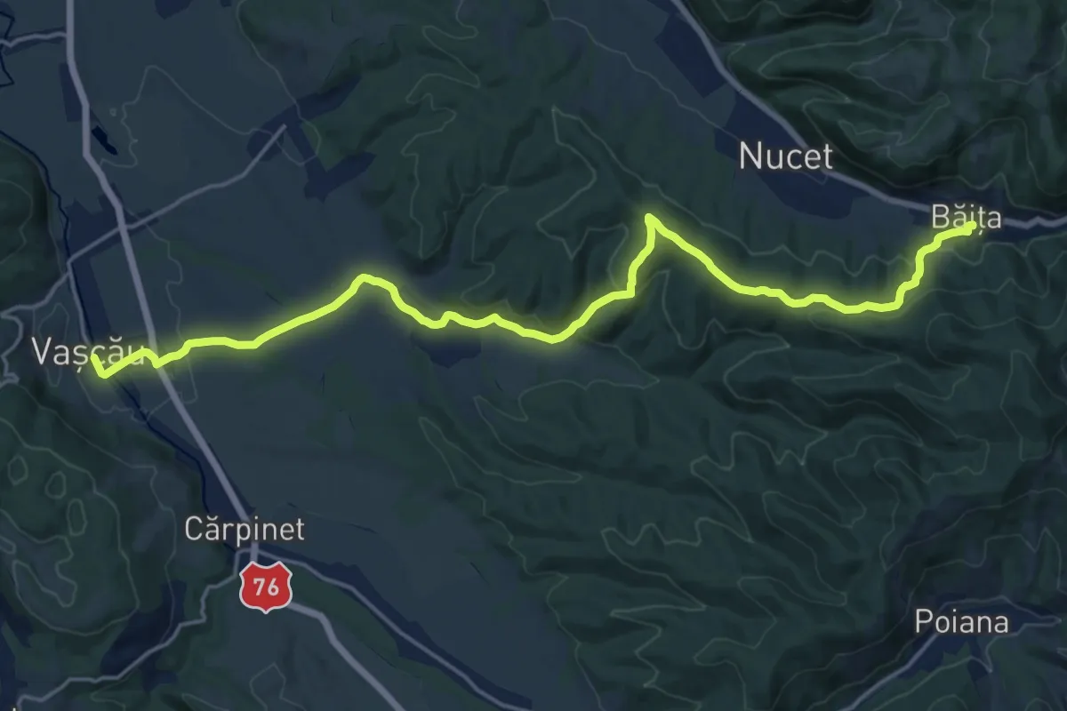
Demanding · Trail
sat Băița - oraș Vașcău
20.9 km · ↑ 552 m · 6 h 8 min · under 1 km away
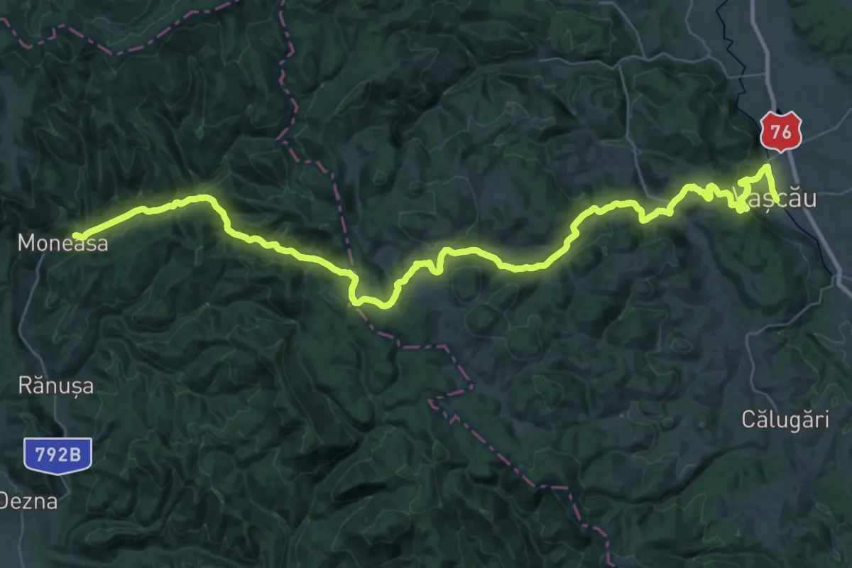
Demanding · Trail
Moneasa – Valea Lunga – Câmp Moti – Vascau
24.0 km · ↑ 726 m · 7 h 34 min · under 1 km away
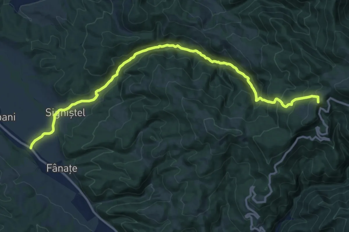
Demanding · Summit
sat Câmpani (DN75) - Valea Sighiștelului - DN75 km 25+100
21.2 km · ↑ 1058 m · 7 h 18 min · 6 km away
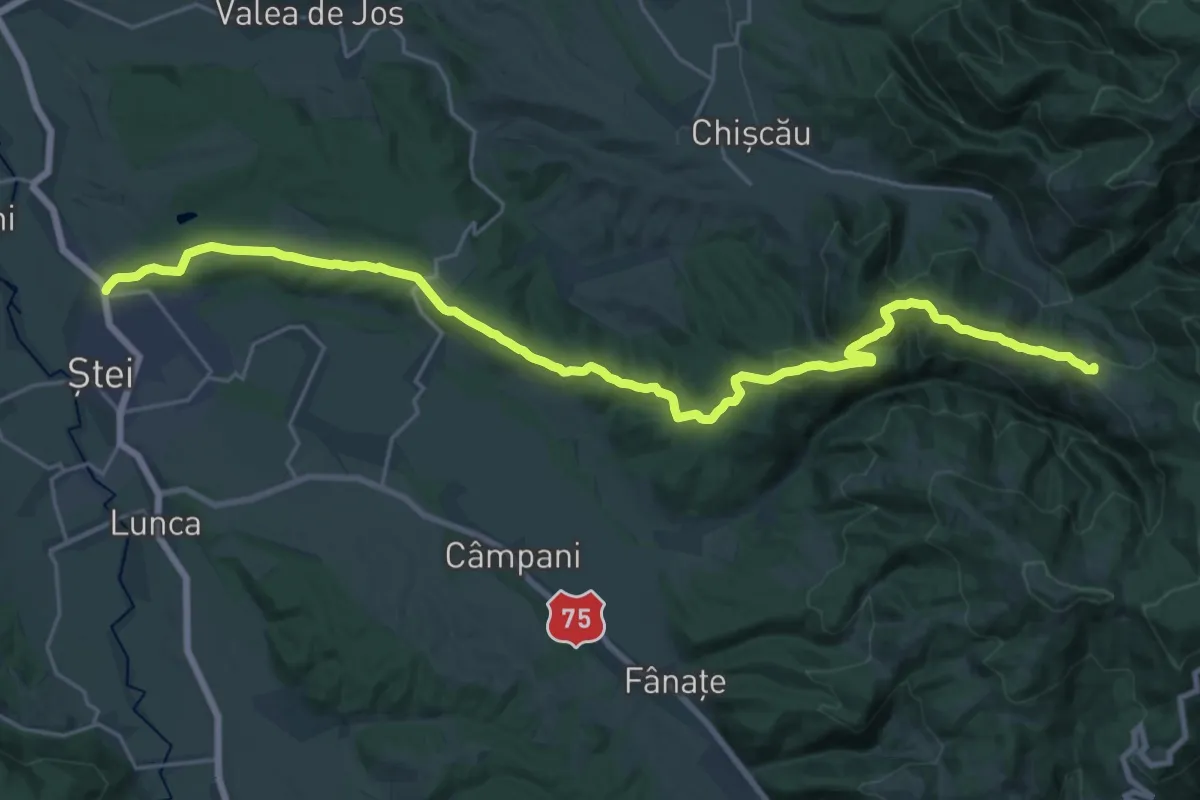
Demanding · Summit
Ștei - Vf. Fața Goală - Groapa Ruginoasă - Șaua Vârtop
27.4 km · ↑ 779 m · 8 h 9 min · 8 km away
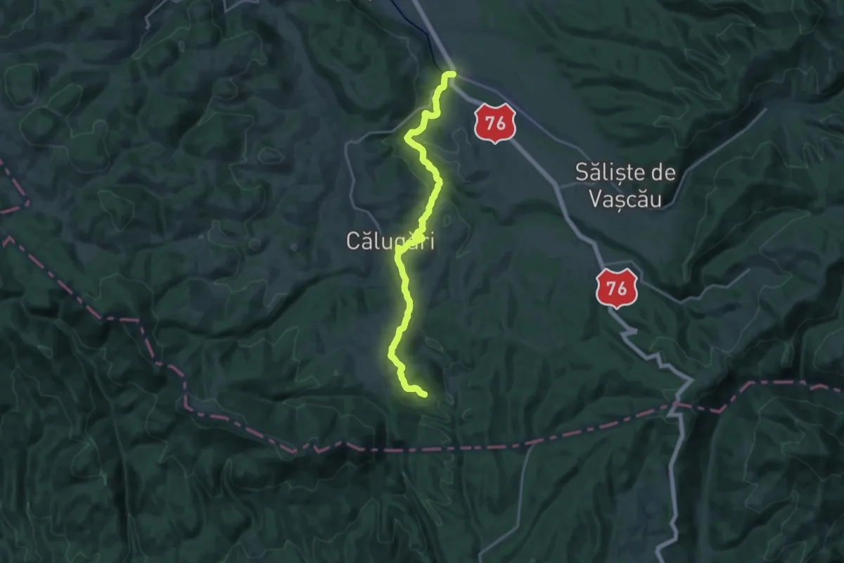
Medium · Trail
Cărpinet – Izbucul Călugări
17.9 km · ↑ 358 m · 5 h · 8 km away
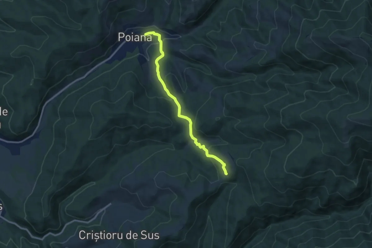
Medium · Trail
sat Poiana - Poiana La Răscruce
7.8 km · ↑ 343 m · 2 h 35 min · 9 km away
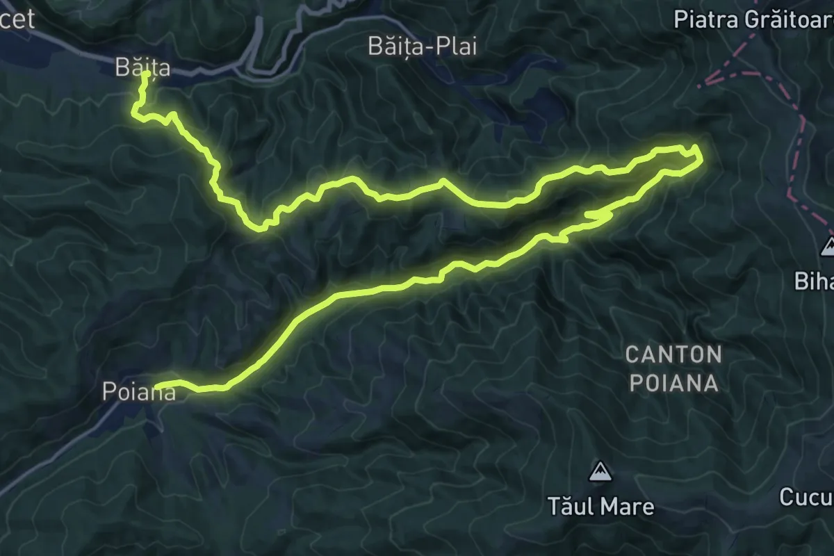
Expert · Trail
sat Băița - Cascada Sf. Treime - sat Poiana
17.0 km · ↑ 895 m · 6 h 13 min · 9 km away
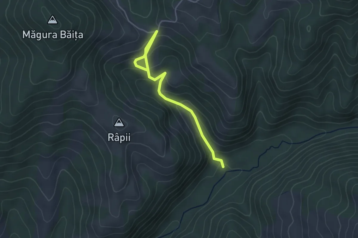
Easy · Trail
Scurtătură traseu Poiana - Cascada Sfânta Treime - Băița
3.6 km · ↑ 243 m · 1 h 23 min · 10 km away
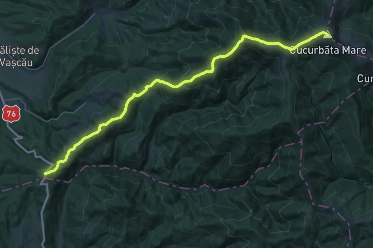
Demanding · Summit
Pasul Criștior (Șaua Criștiorului) - Vf. Cucurbăta Mare (Vf. Bihor)
26.9 km · ↑ 1592 m · 9 h 48 min · 10 km away
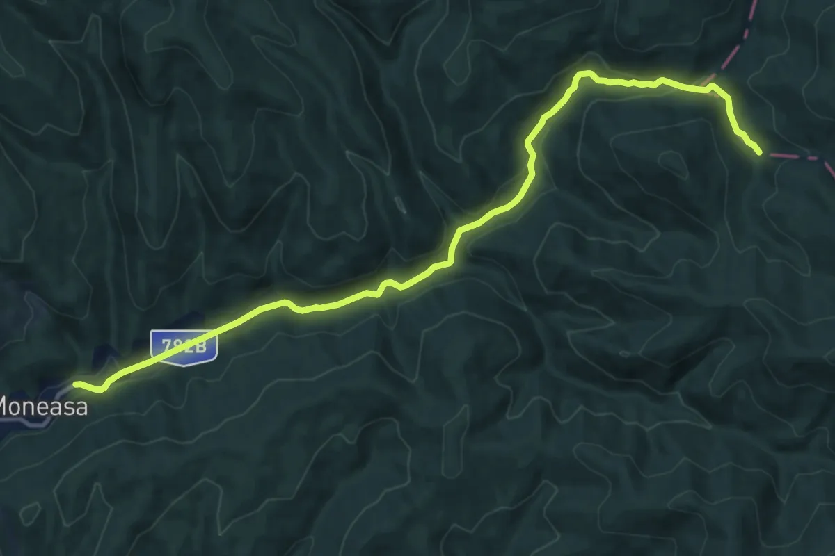
Medium · Trail
Moneasa – valea Boroaia – valea Bârlogel – creasta principală
13.7 km · ↑ 337 m · 3 h 57 min · 11 km away
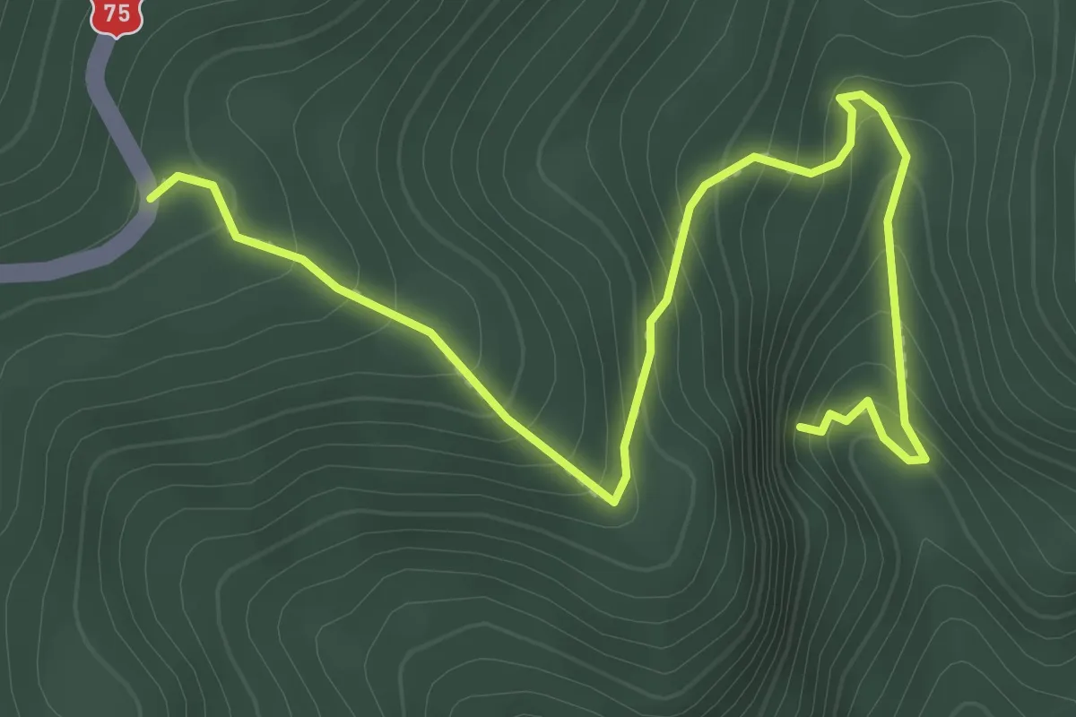
Easy · Trail
DN 75 - Peștera Porțile Bihorului
3.2 km · ↑ 308 m · 1 h 26 min · 11 km away
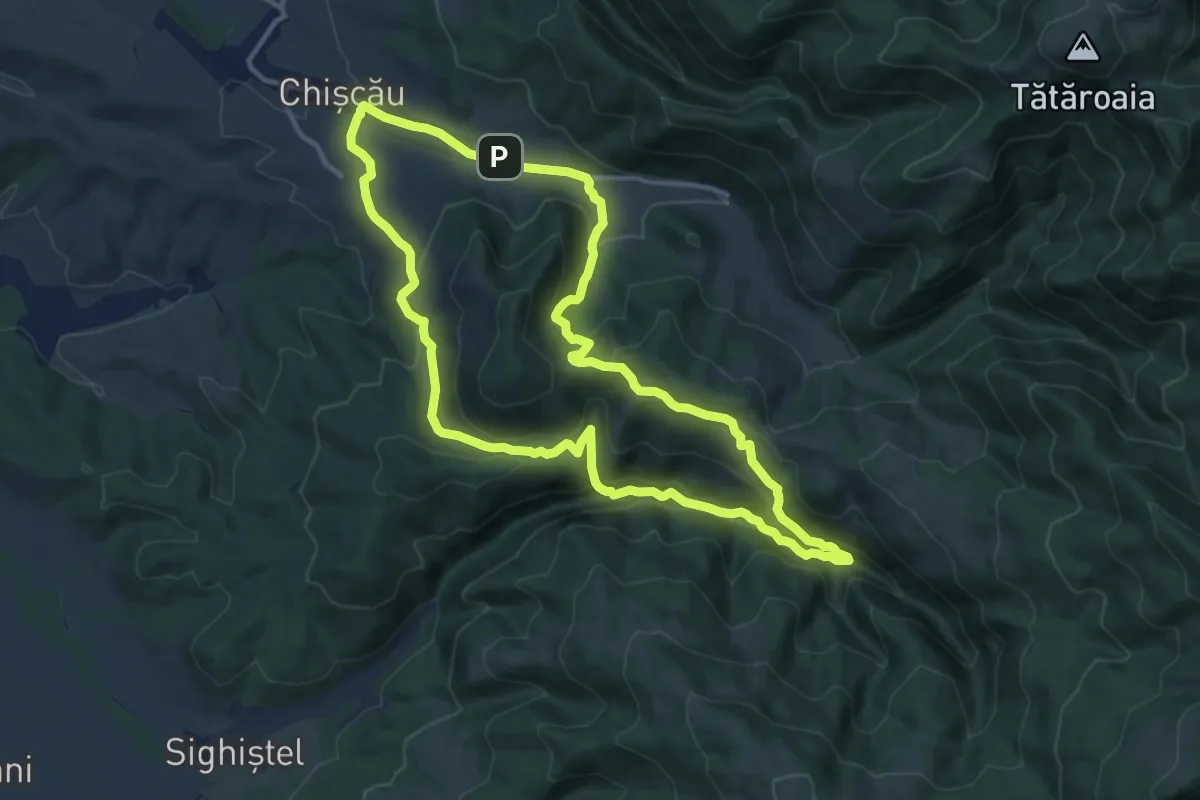
Medium · Trail
Circuitul Peșterii Urșilor
12.4 km · ↑ 528 m · 4 h 14 min · 12 km away
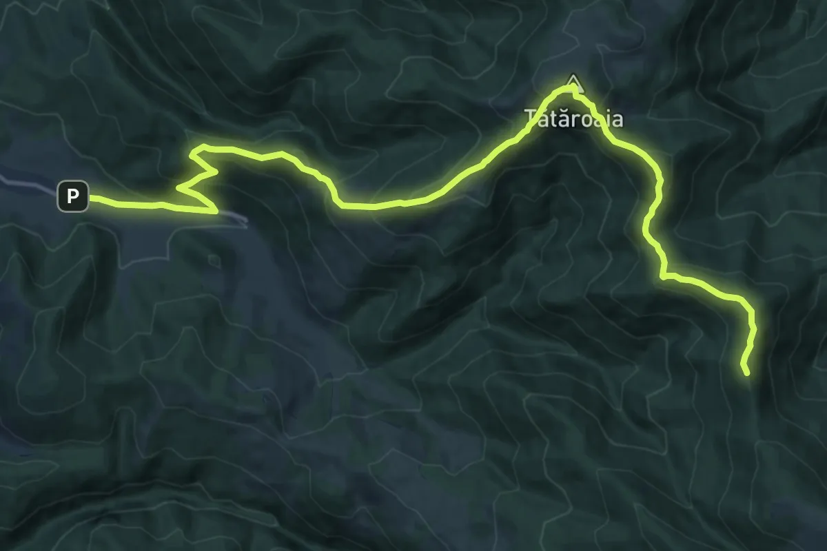
Demanding · Summit
DN75 ("Calea Fusului") - Vf. Tătăroaia - sat Chișcău
17.1 km · ↑ 1227 m · 6 h 41 min · 12 km away
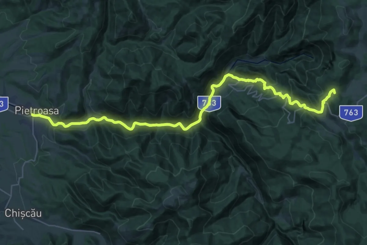
Demanding · Summit
Pietroasa - Complex turistic Padiș
28.5 km · ↑ 1190 m · 9 h 19 min · 15 km away