Trails in Romania
1,356 hiking trails, each with its route, climb, walking time and grade.
All trails, page 19 of 29
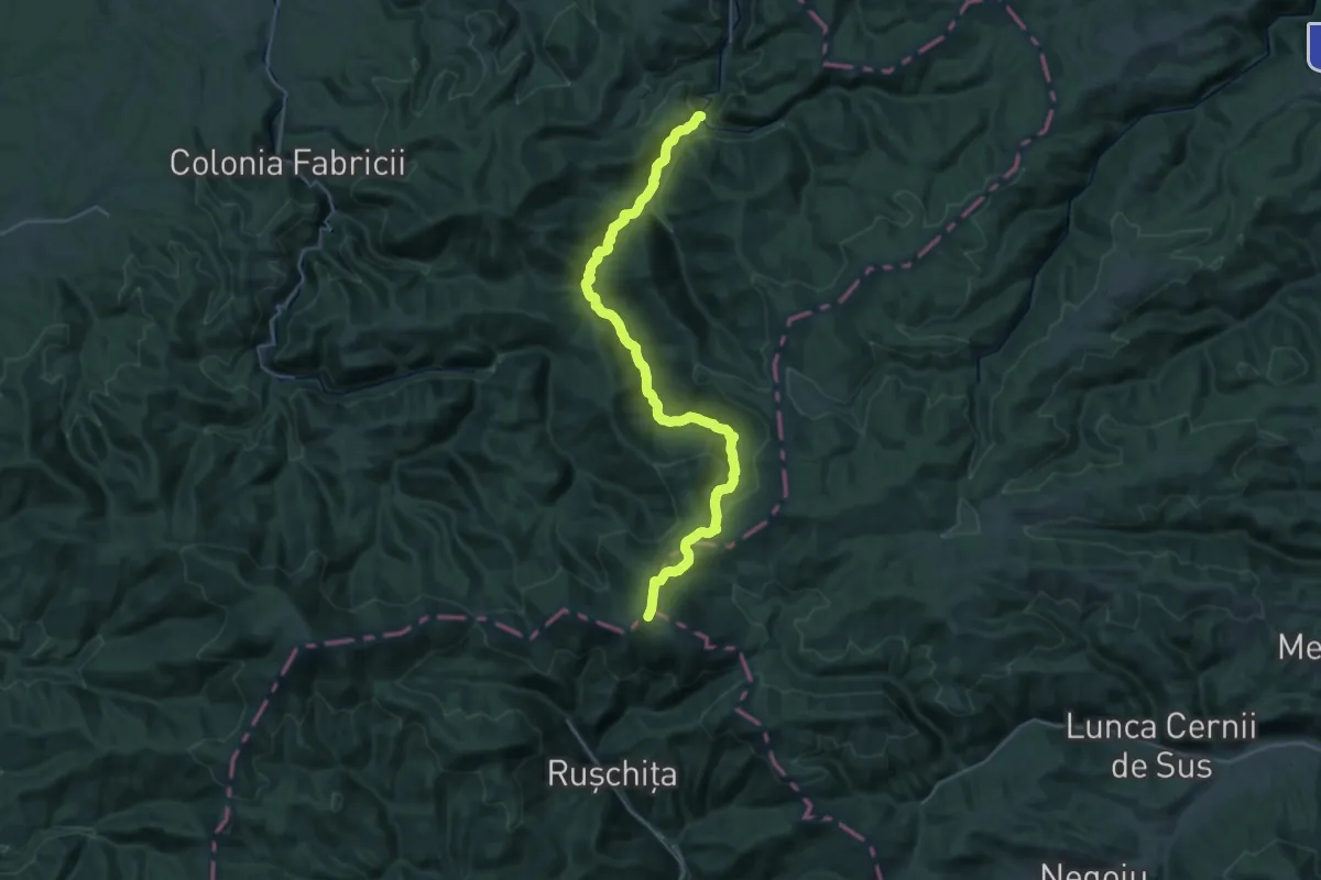
Demanding · Trail
Poieni Cheia - Vârful Rusca
17.3 km · ↑ 1100 m · 6 h 14 min
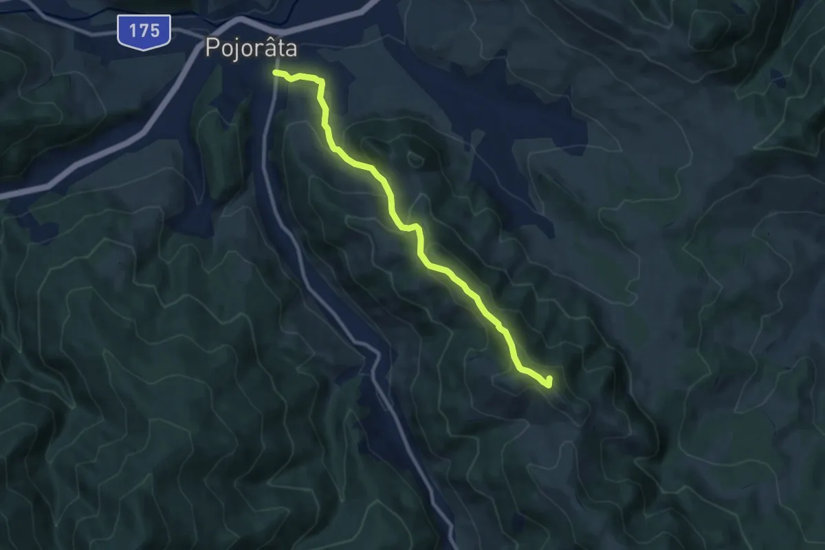
Medium · Summit
Pojorâta - traseul 14 BA
9.0 km · ↑ 558 m · 3 h 20 min
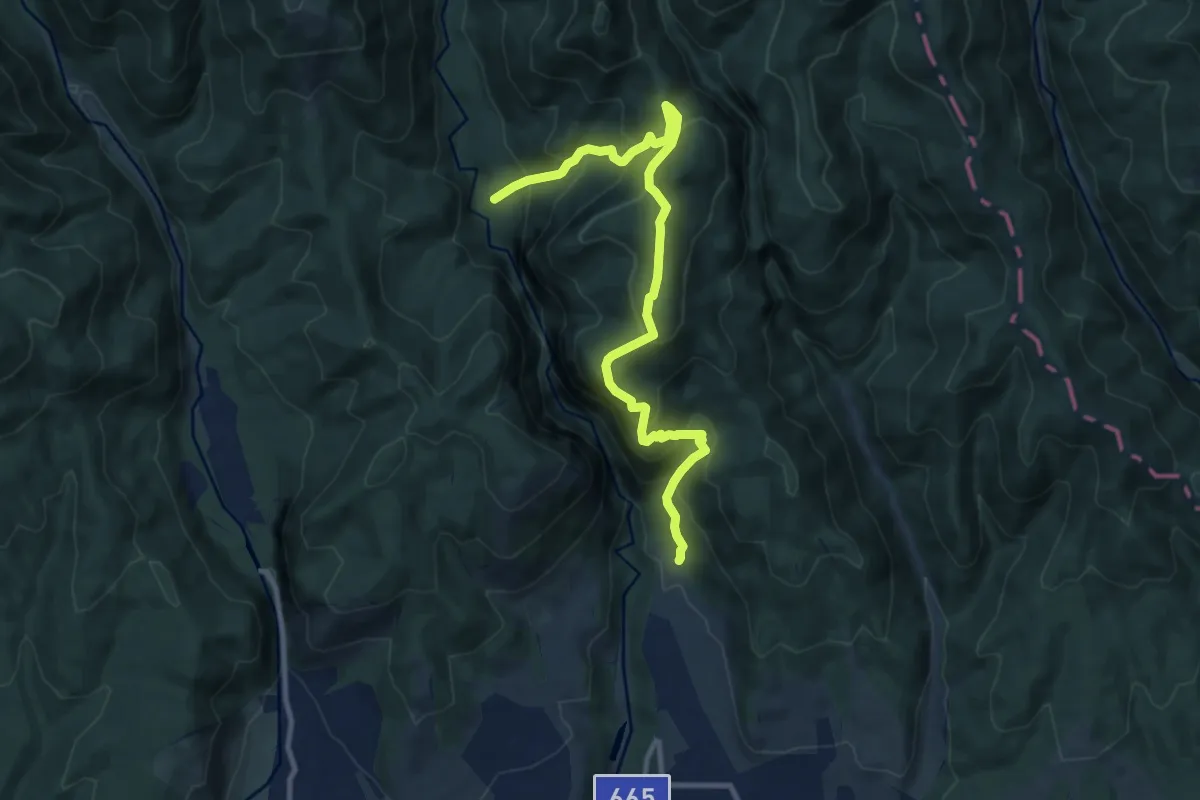
Demanding · Trail
Polovragi - Crucea Lui Ursache - Luncile Oltețului
11.5 km · ↑ 977 m · 4 h 50 min
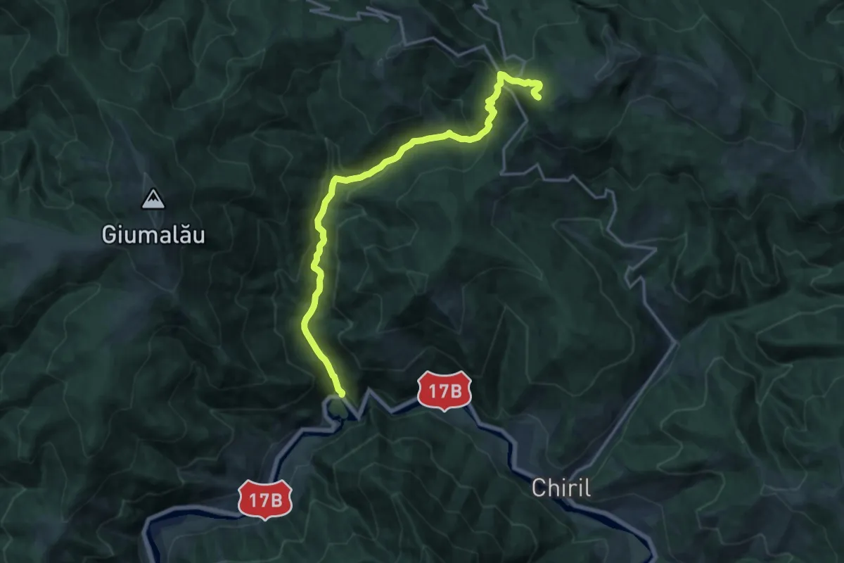
Demanding · Trail
popas Zugreni – Hotel Rarău (red triangle)
16.0 km · ↑ 839 m · 5 h 36 min
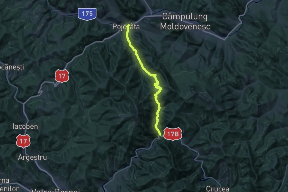
Demanding · Trail
Popas Zugreni – Pojorâta (yellow cross)
18.7 km · ↑ 723 m · 6 h 12 min
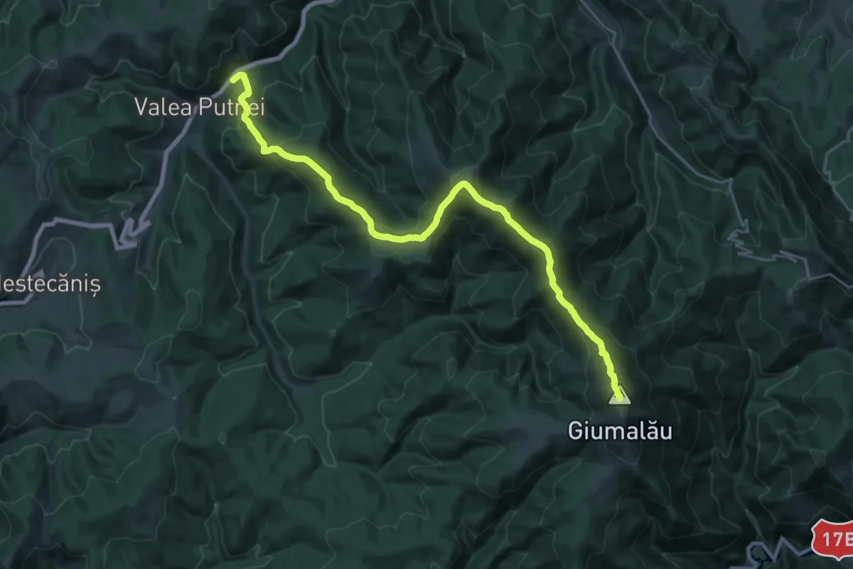
Demanding · Summit
Popas Zugreni – Vf. Giumalău – gara Valea Putnei (blue dot)
25.7 km · ↑ 1304 m · 8 h 54 min
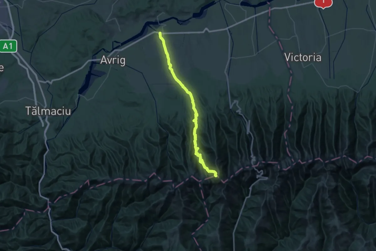
Demanding · Trail
Porumbacu de Jos - Cabana Negoiu - Șaua Cleopatra
25.8 km · ↑ 2181 m · 10 h 12 min
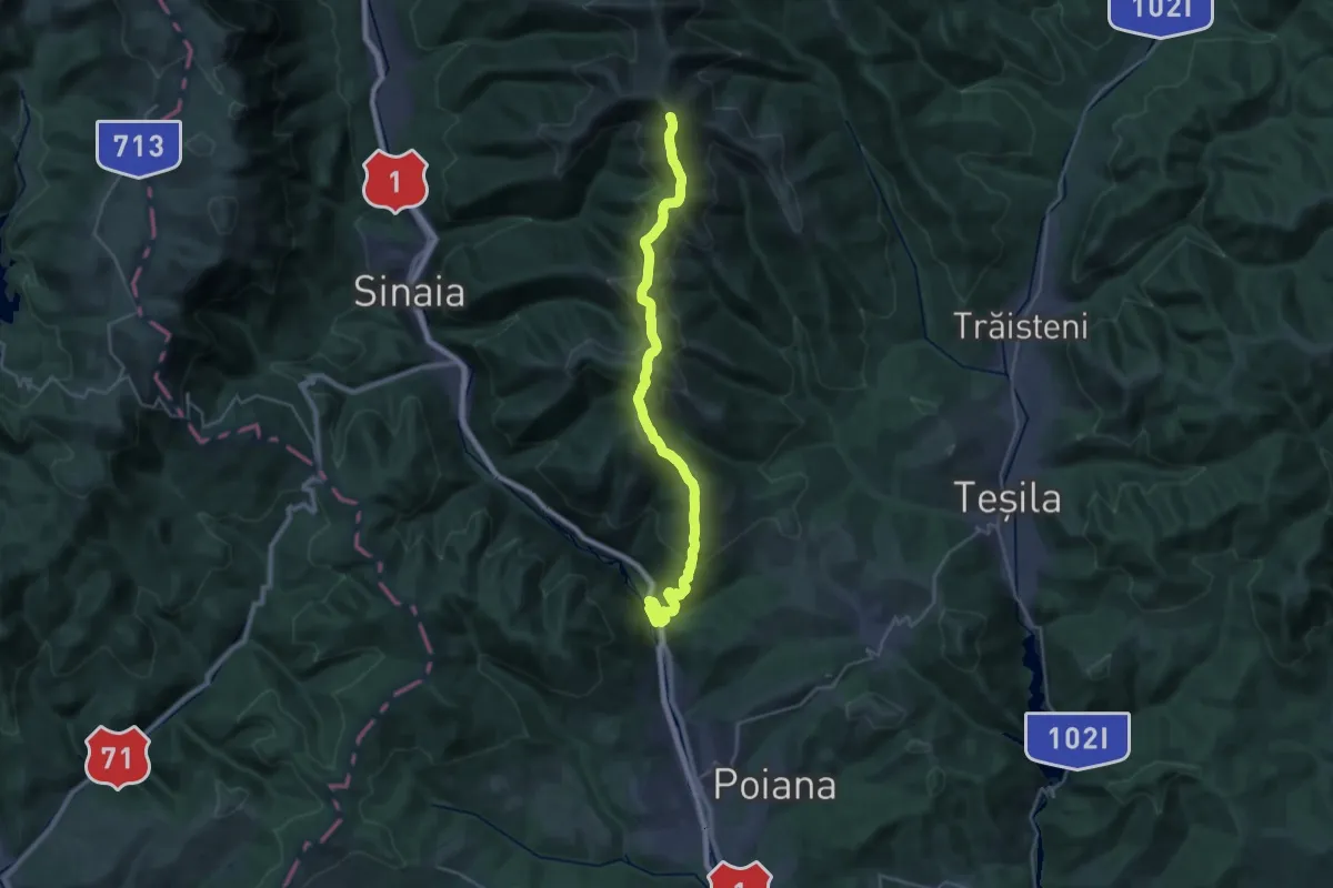
Demanding · Summit
Posada - Tituleni - Culmea Zamora
30.6 km · ↑ 1654 m · 10 h 49 min
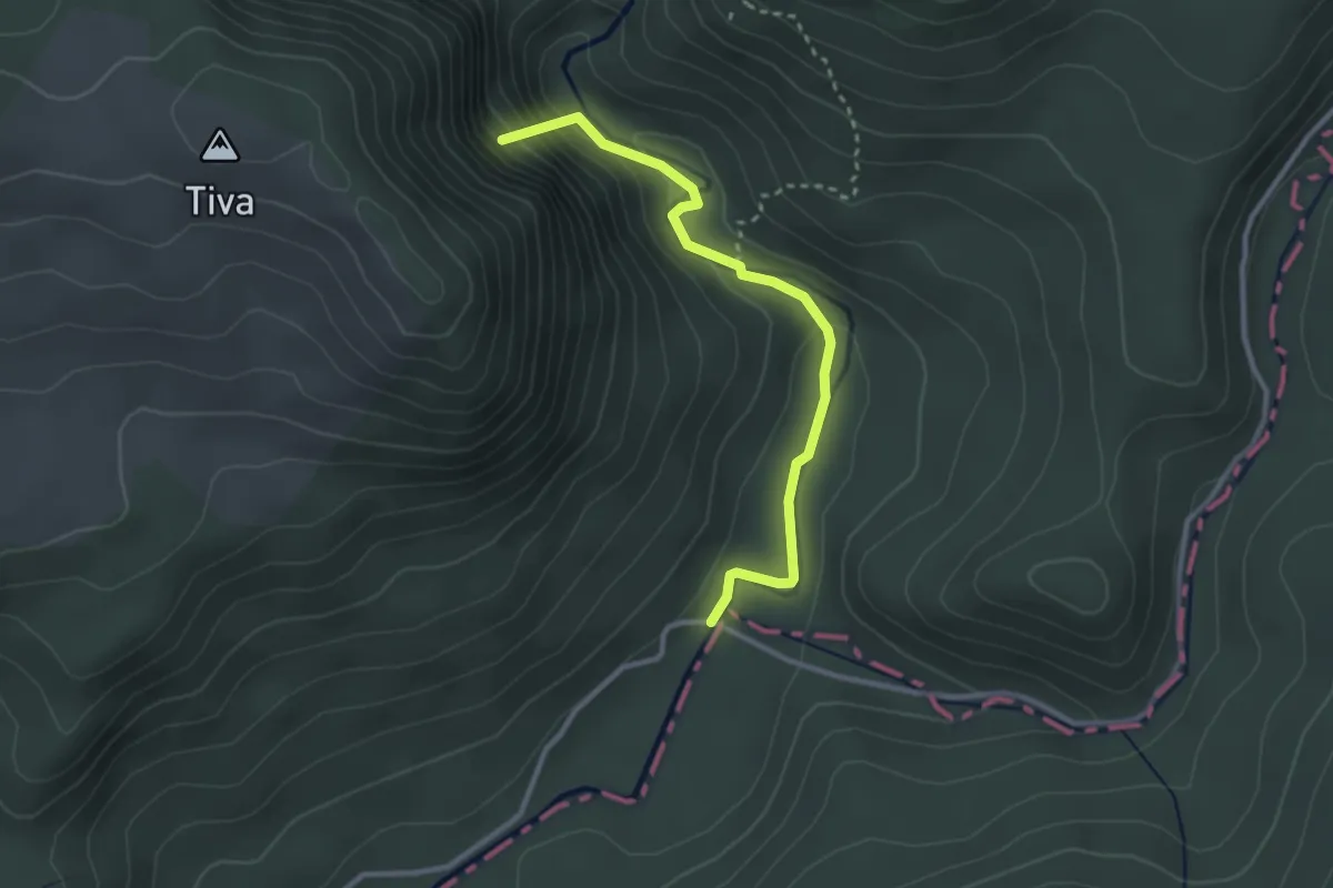
Medium · Summit
Poteca Cheii din Cheile Vârghișului
3.0 km · ↑ 169 m · 1 h 4 min
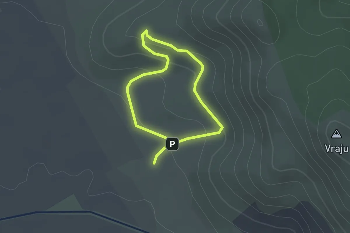
Easy · Trail
Poteca Tematică Fântâna de Leac
1.7 km · ↑ 73 m · 36 min
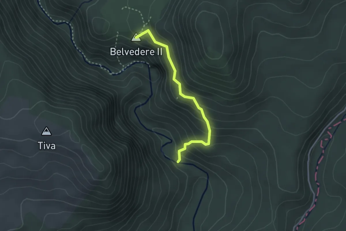
Medium · Summit
Potecile Kőcsűr, Lupilor, Capelei din Cheile Vârghișului
2.8 km · ↑ 238 m · 1 h 10 min
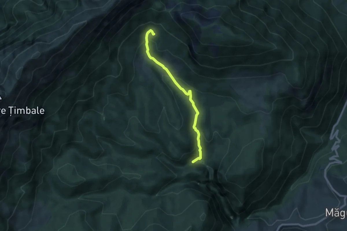
Medium · Cabin
Prăpăstiile Zărneștilor-Cabana Curmătura
5.7 km · ↑ 356 m · 2 h 6 min
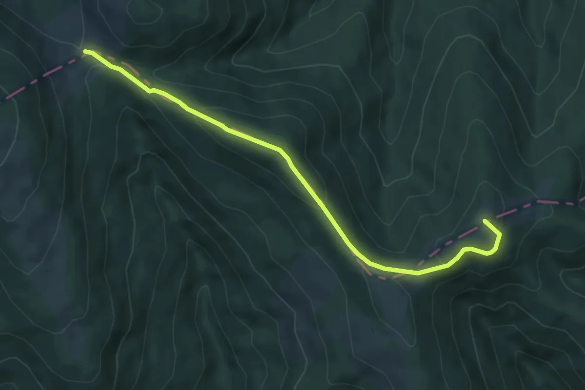
Easy · Summit
Predeal - Culmea Clăbucetul Baiului - Șaua Baiului
6.0 km · ↑ 207 m · 1 h 52 min
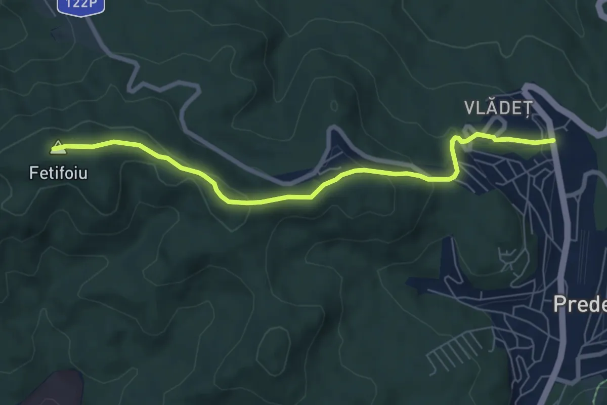
Easy · Summit
Predeal - Fetifoiu - La Șipote
6.5 km · ↑ 293 m · 2 h 10 min
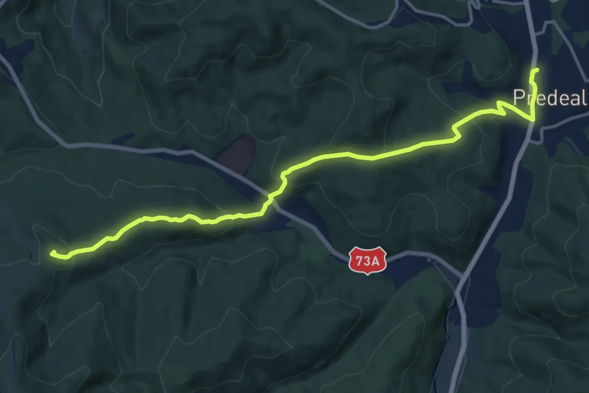
Medium · Summit
Predeal - Forban - Valea Frăsinet
12.2 km · ↑ 556 m · 4 h 5 min
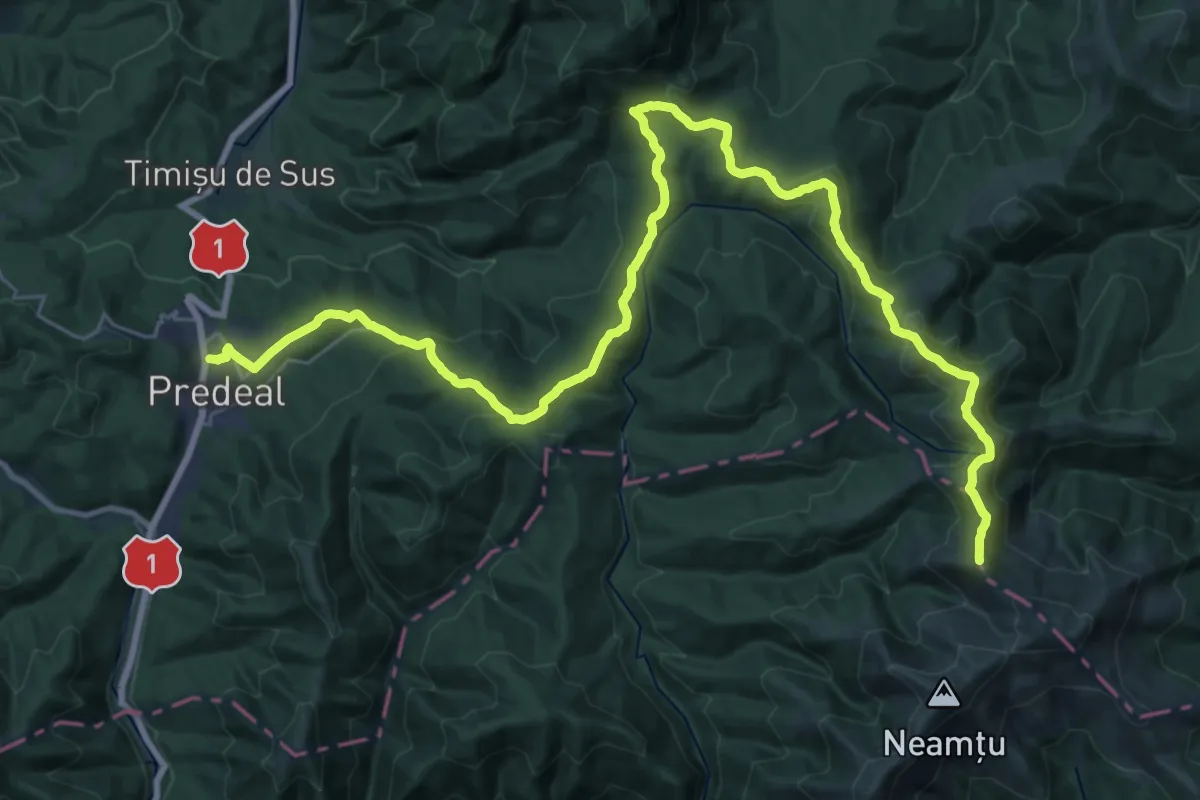
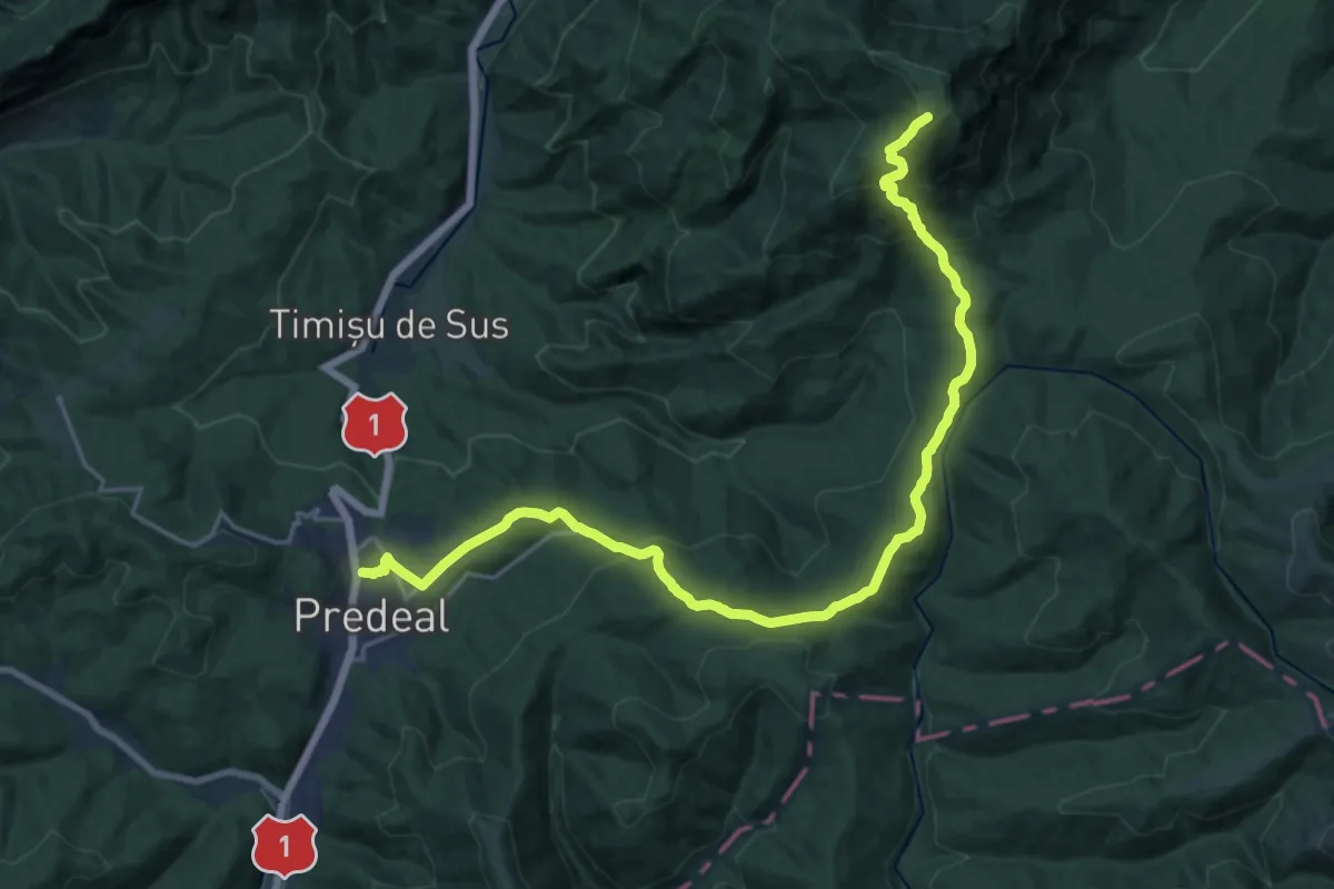
Demanding · Summit
Predeal - Șaua Pietricica - Pasul Predeluș
39.1 km · ↑ 1906 m · 13 h 21 min
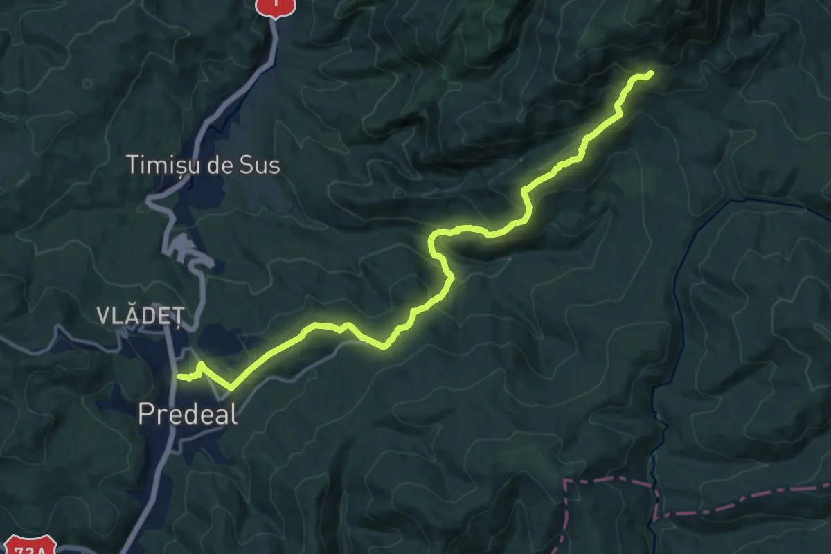
Demanding · Summit
Predeal - Șaua Pietricica - sub Vf. Piatra Mare
23.1 km · ↑ 1226 m · 8 h 7 min
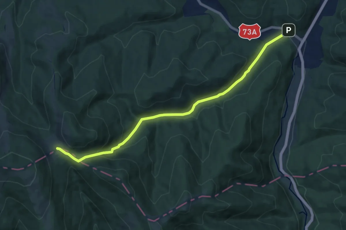
Demanding · Trail
Predeal - Tunelul Mare - deasupra Poienii Stânei din Pietricica
16.4 km · ↑ 992 m · 6 h 1 min
Medium · Cabin
Predeal - Valea Iadului - Șaua Baiului
10.0 km · ↑ 363 m · 3 h 9 min
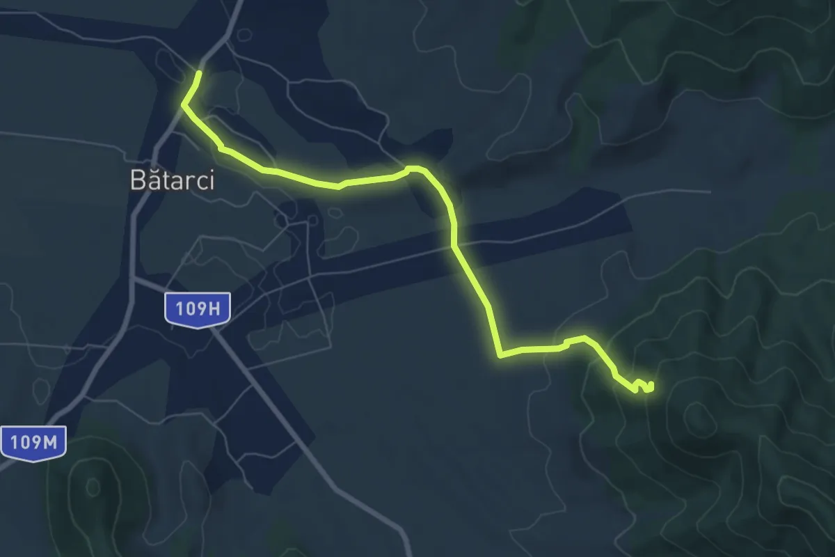
Easy · Trail
Primăria Bătarci – Măgura Bătarci, Ghiboacele
7.1 km · ↑ 223 m · 2 h 9 min
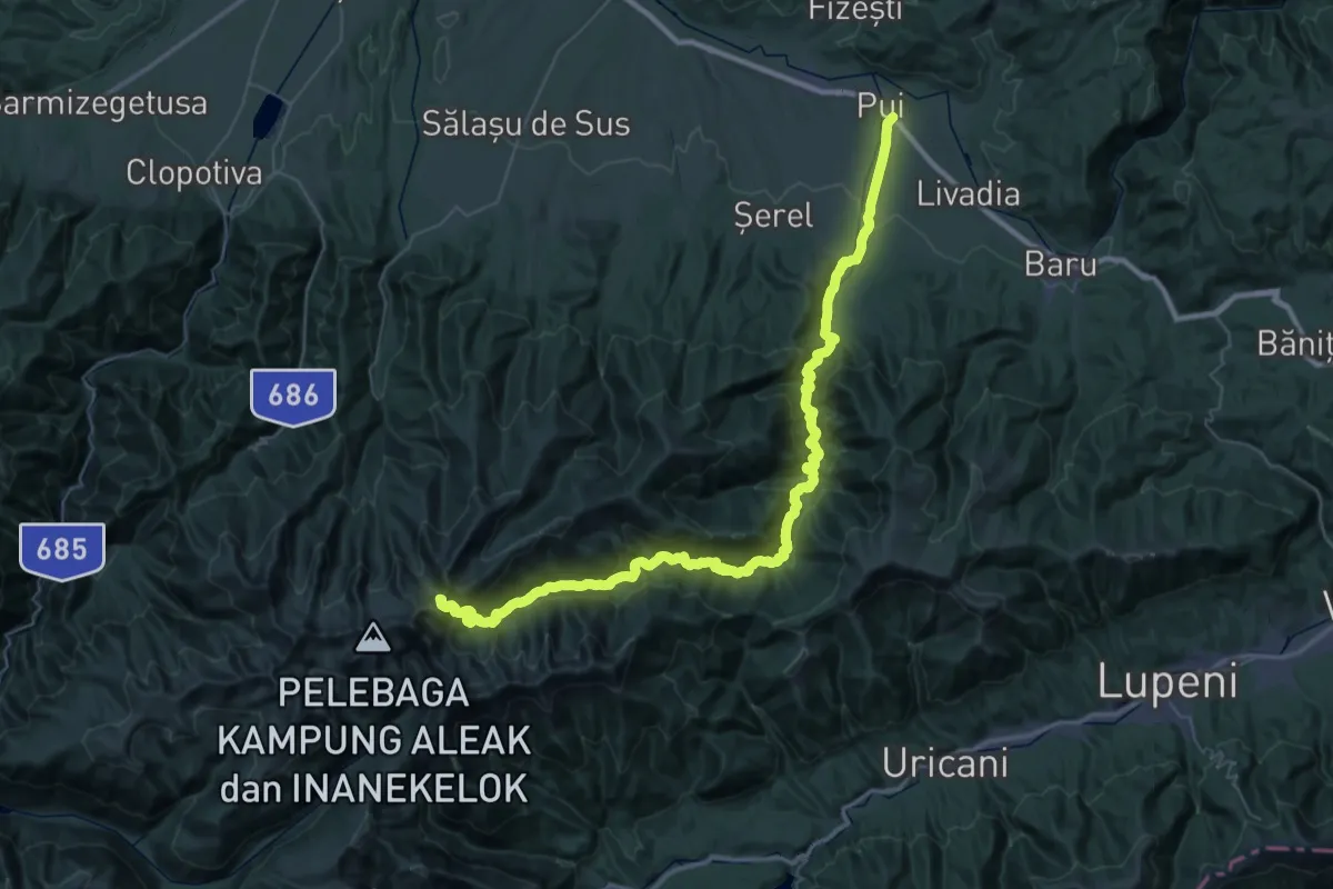
Demanding · Trail
Pui - Hobița - Tăul Țapului - Porțile Închise
31.1 km · ↑ 2248 m · 11 h 44 min
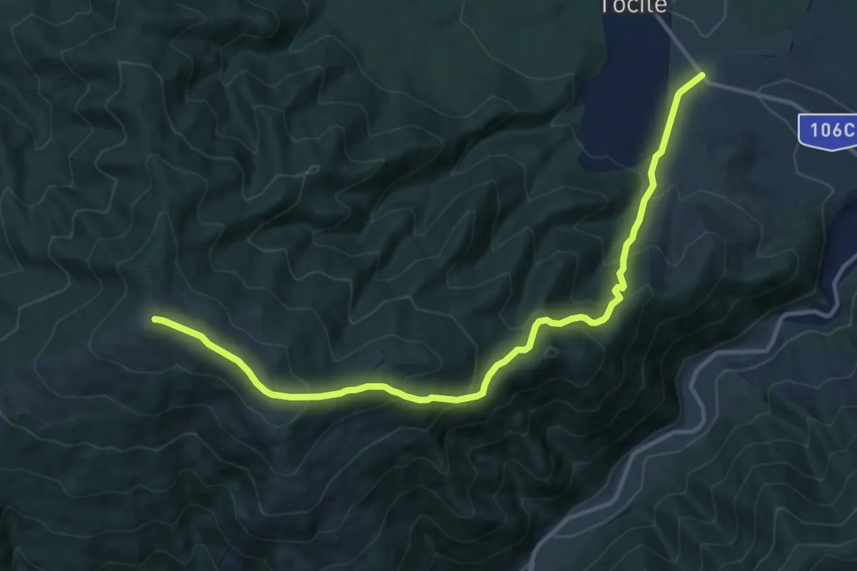
Demanding · Summit
Punct albastru
12.5 km · ↑ 818 m · 4 h 44 min
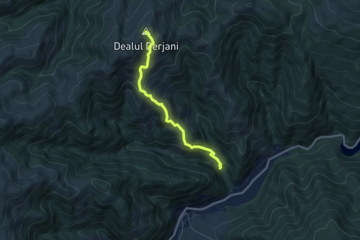
Medium · Summit
Punct galben
5.3 km · ↑ 560 m · 2 h 28 min
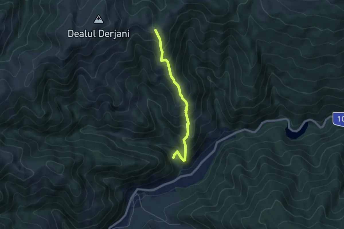
Medium · Trail
Punct rosu
4.5 km · ↑ 431 m · 2 h
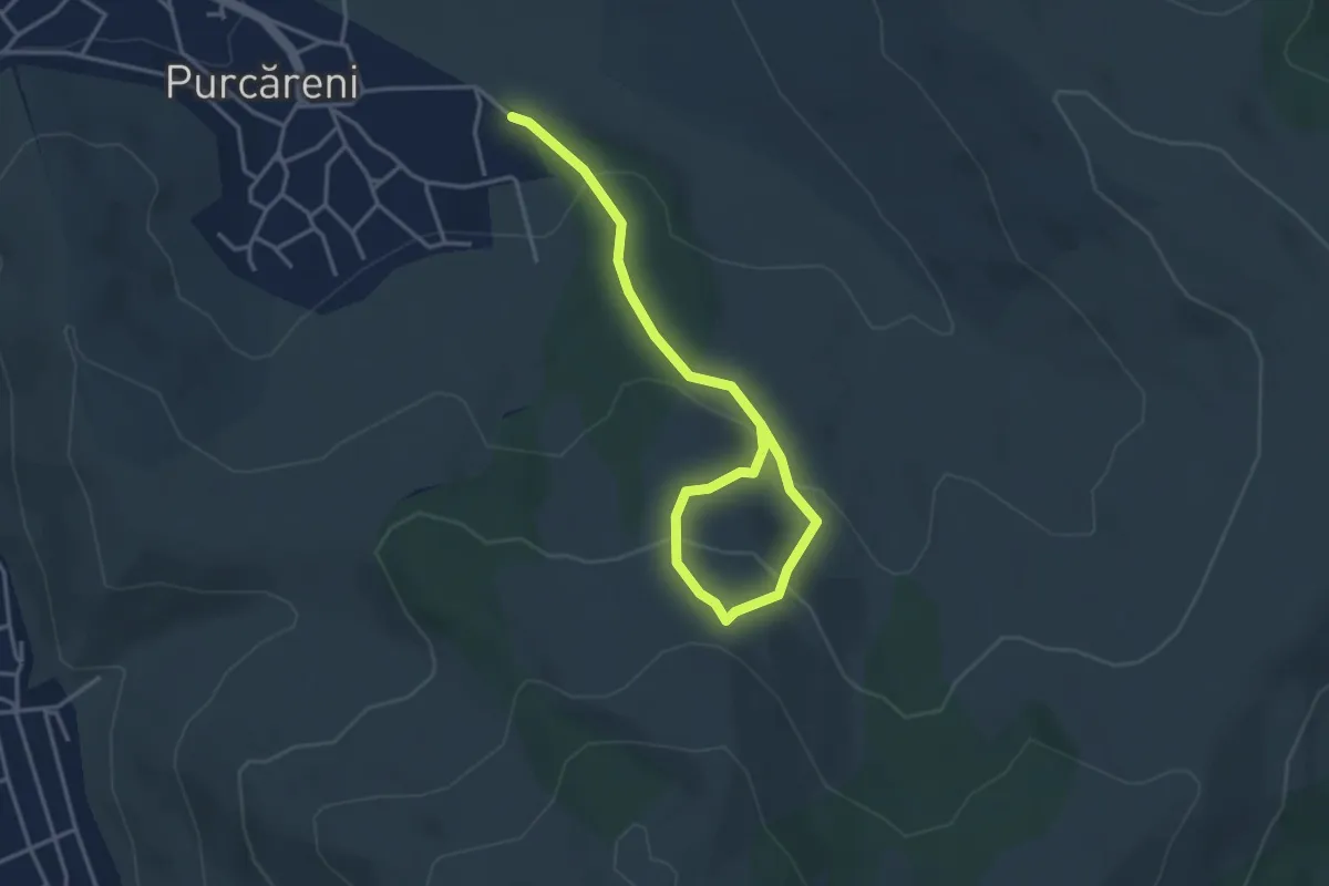
Easy · Trail
Purcăreni – Rezervaţia paleontologică Locul Fosilifer Purcăreni
4.5 km · ↑ 250 m · 1 h 36 min
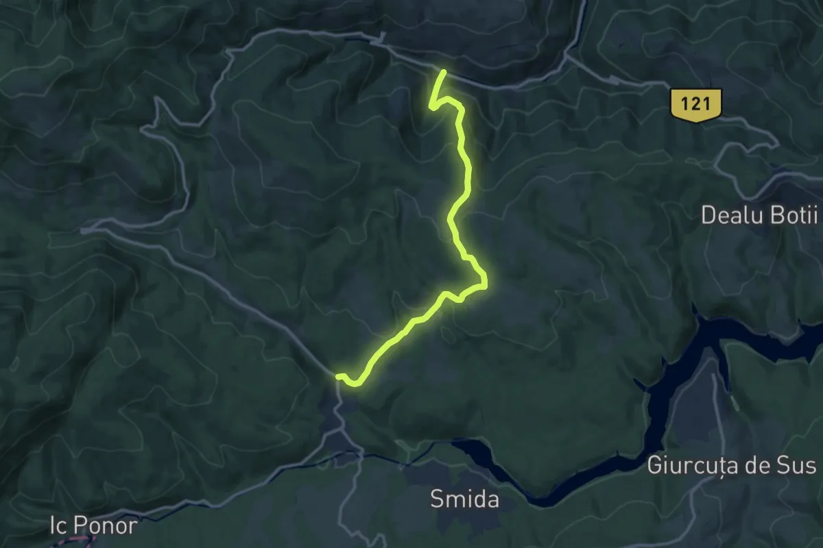
Medium · Trail
Răchițele-P-na La Cuciulata-Doda Pilii
11.2 km · ↑ 550 m · 3 h 50 min
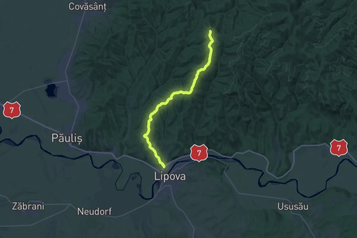
Demanding · Summit
Radna - Creasta Radnei - Vârf Crucea Țiganului - Creasta Principală a Munților Zarand
28.4 km · ↑ 761 m · 8 h 21 min
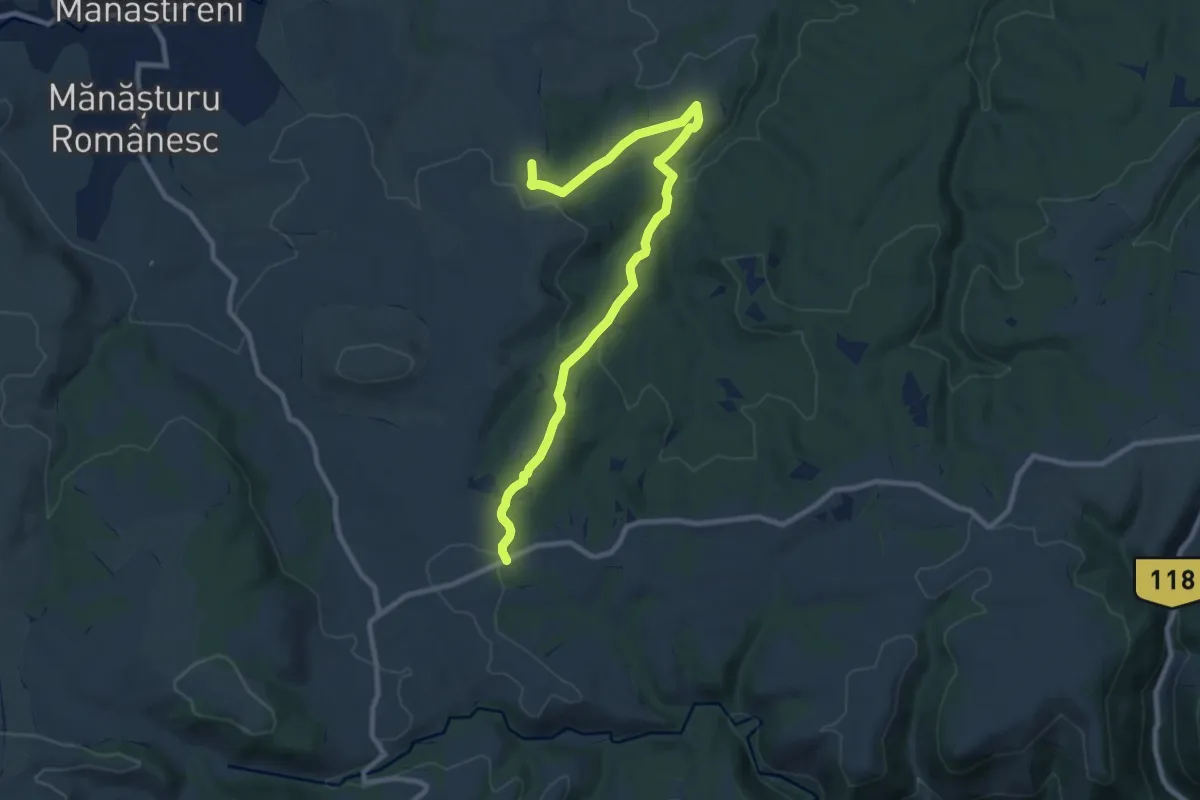
Medium · Trail
rasca trail
10.4 km · ↑ 291 m · 3 h 6 min
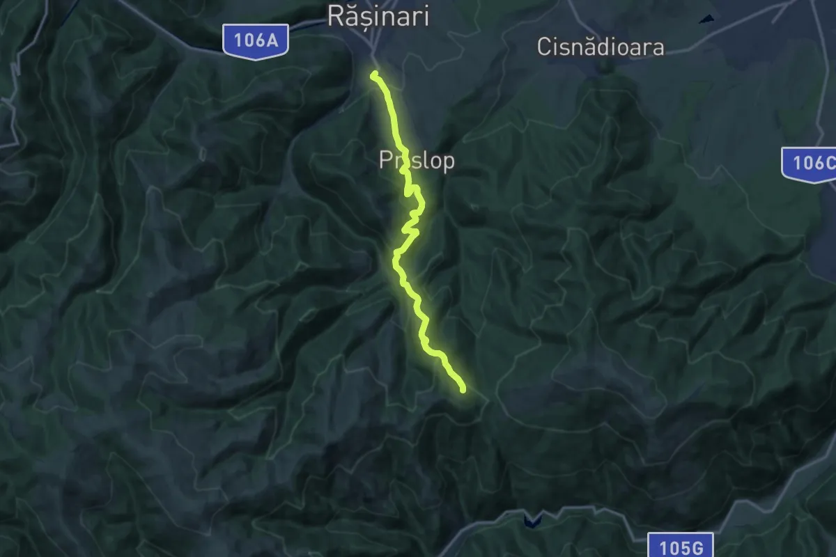
Medium · Trail
Răşinari - Prislop - Rosengarten
12.5 km · ↑ 737 m · 4 h 33 min
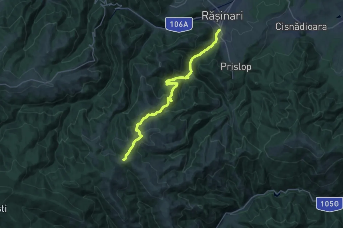
Demanding · Trail
Răşinari - Valea Caselor - Şaua Apa Cumpănită
18.6 km · ↑ 845 m · 6 h 13 min
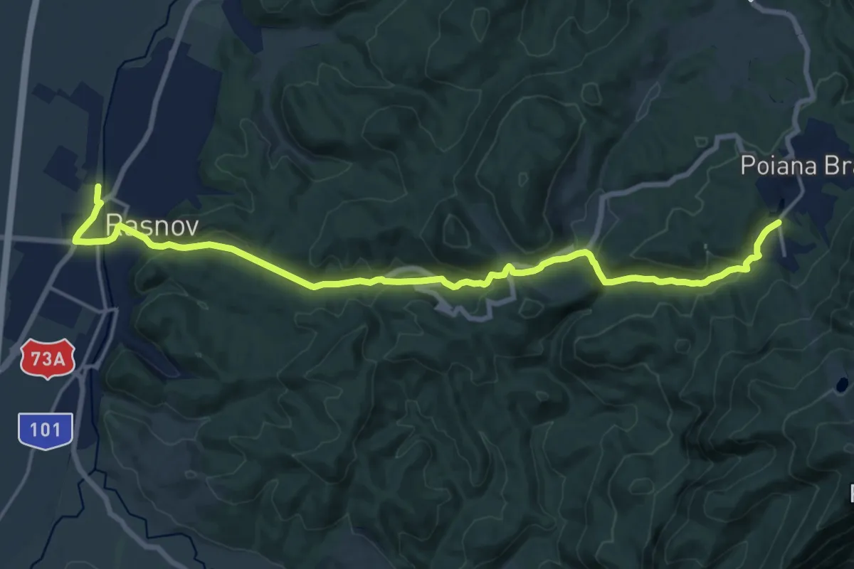
Demanding · Trail
Râșnov - Valea Poienii - Poiana Brașov
18.4 km · ↑ 581 m · 5 h 36 min
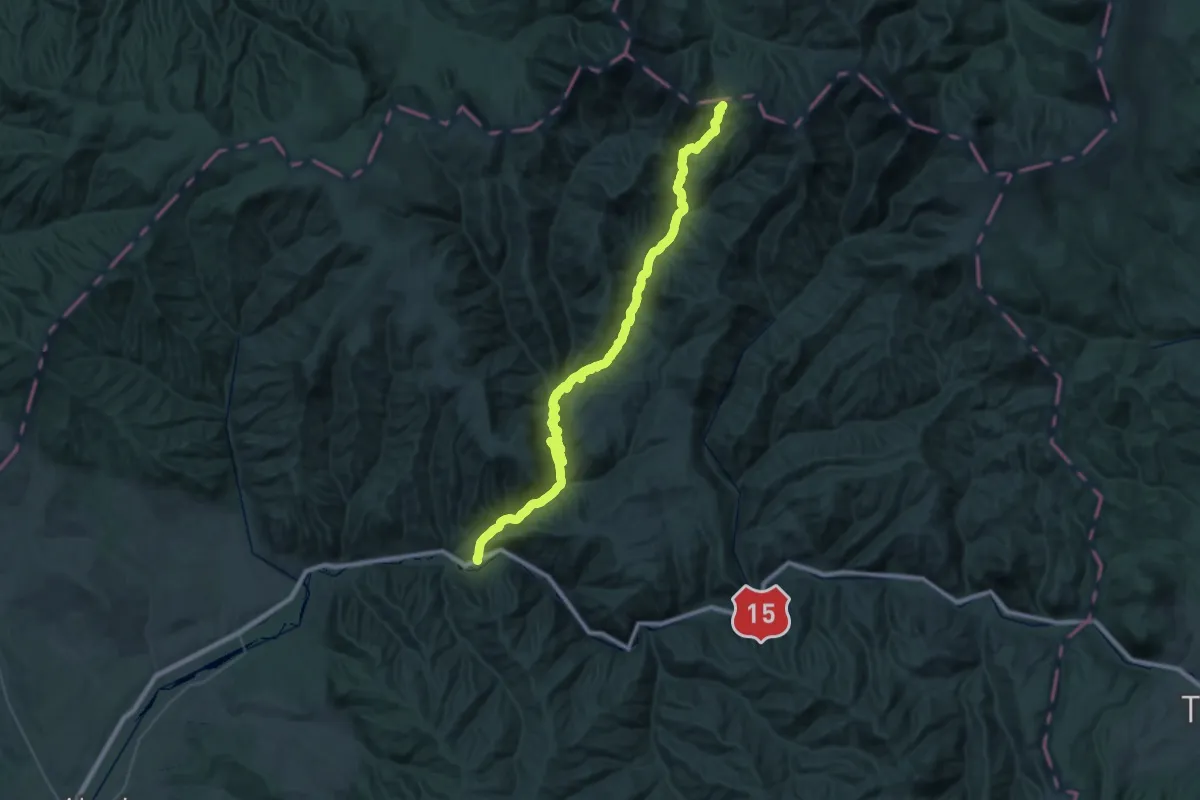
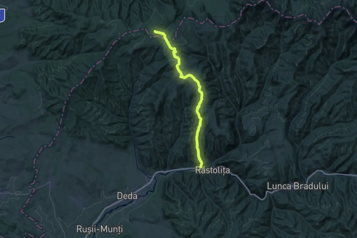
Demanding · Trail
Răstolița-Curmătura Tihului
23.9 km · ↑ 390 m · 7 h 18 min
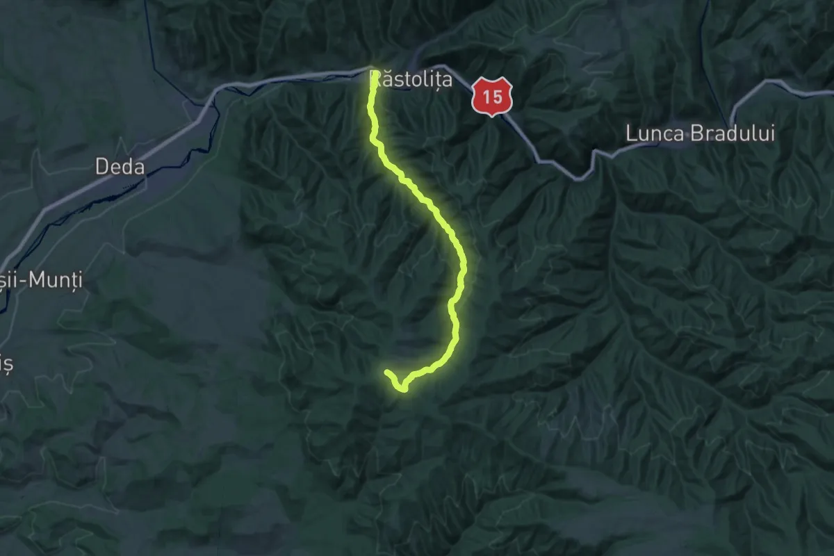
Demanding · Trail
Răstolița (DN15)-Poiana Cofu
19.5 km · ↑ 220 m · 5 h 50 min
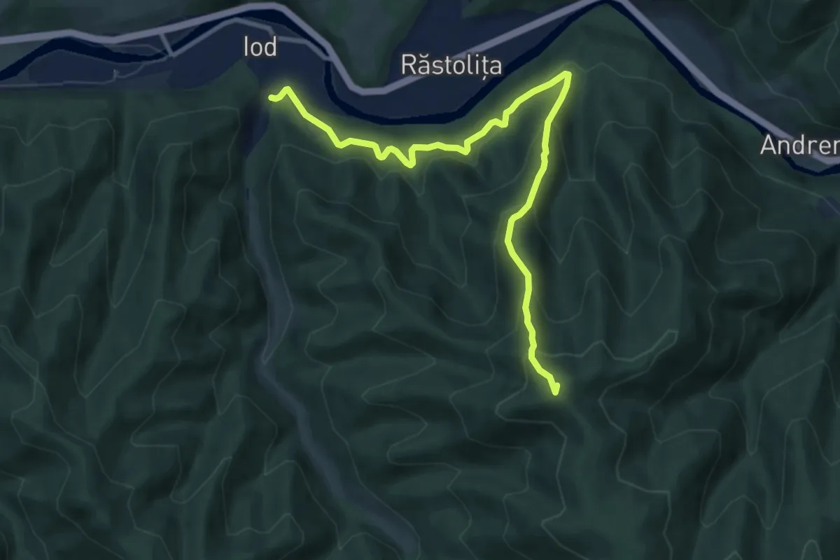
Medium · Trail
Răstolița - Valea Iod - Poiana Iod
13.4 km · ↑ 765 m · 4 h 38 min
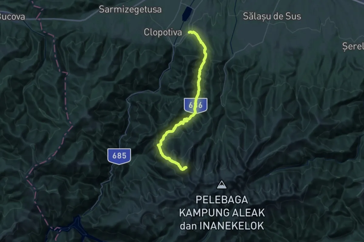
Medium · Summit
Răstolița - Vârful Listeș - Poiana Borta - Valea Iod - Valea Rusu - Poiana Rusu
9.6 km · ↑ 687 m · 3 h 45 min
Demanding · Summit
Râu de Mori - Râușor - Culmea Prelucele - Vârful Retezat
38.6 km · ↑ 2153 m · 13 h 46 min
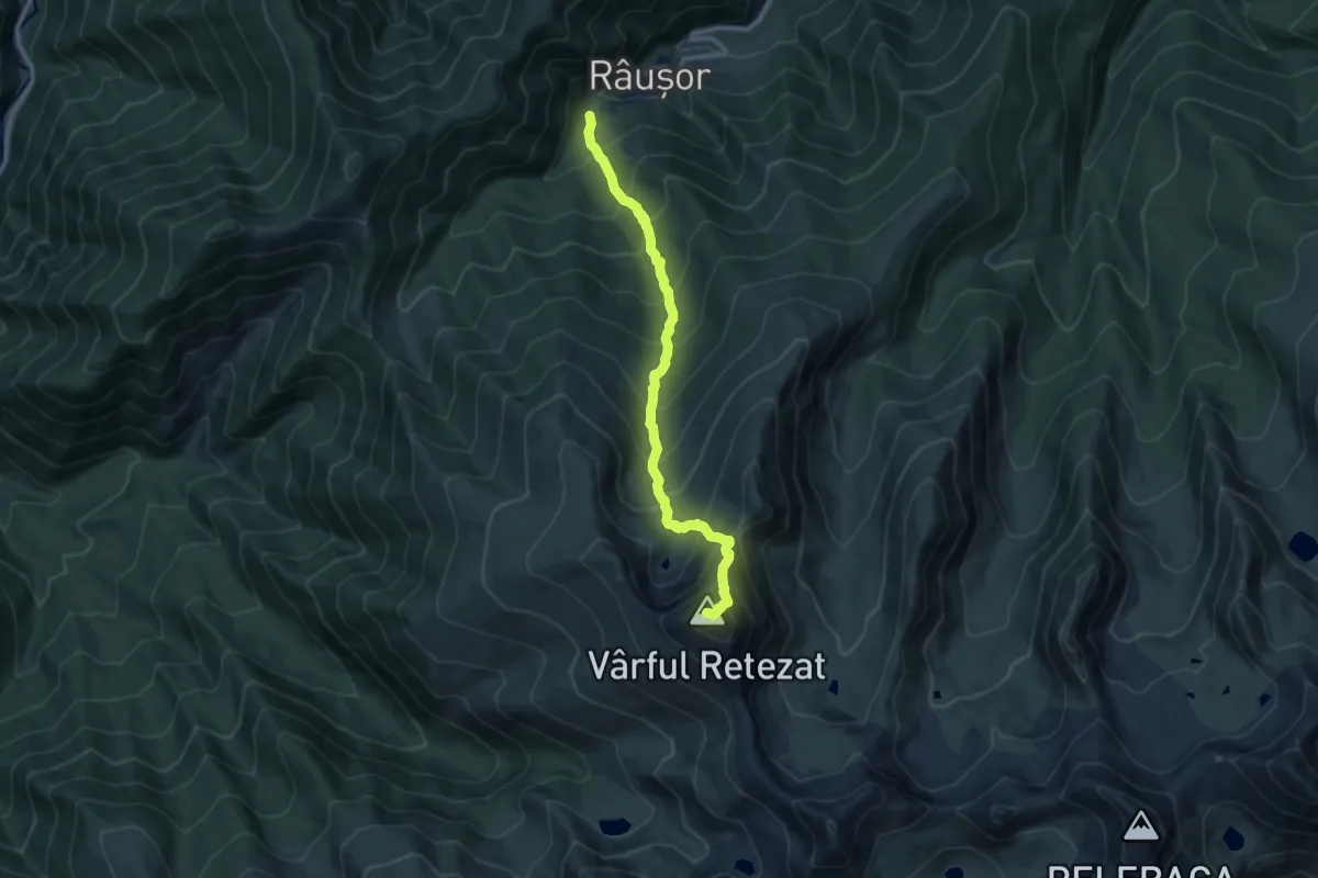
Expert · Summit
Râușor - Lacul Ștevia - Vârful Retezat
9.9 km · ↑ 1232 m · 5 h
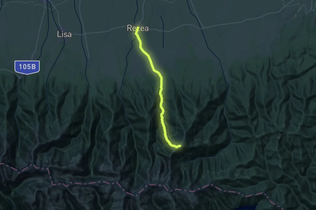
Demanding · Cabin
Recea - Piciorul Bătrân - Culmea Scoarța
14.1 km · ↑ 1436 m · 5 h 57 min
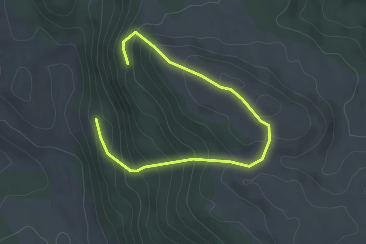
Medium · Trail
red cross
4.9 km · ↑ 332 m · 1 h 52 min
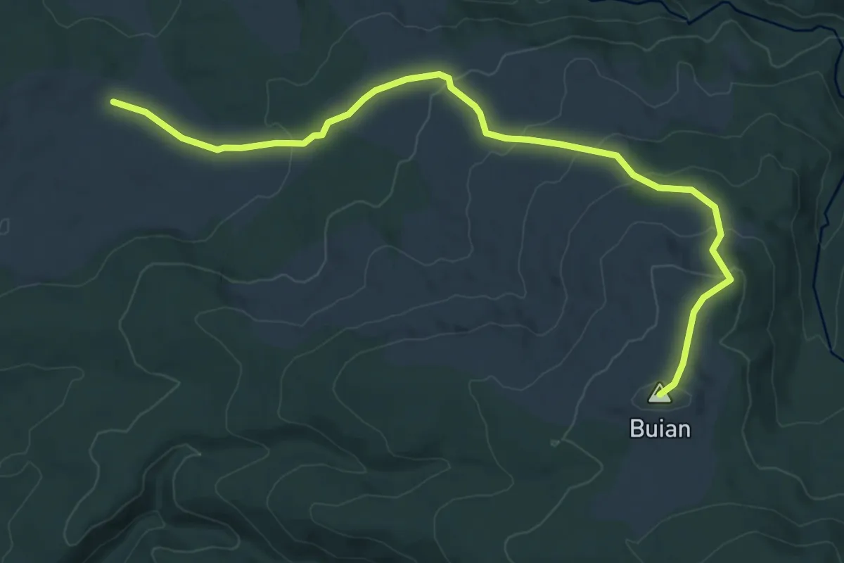
Medium · Summit
red dot
10.7 km · ↑ 394 m · 3 h 22 min
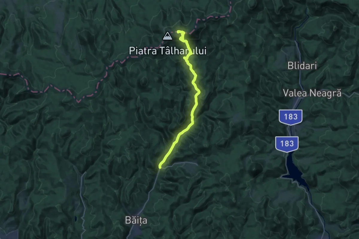
Demanding · Summit
red dot 2
19.8 km · ↑ 1017 m · 6 h 52 min
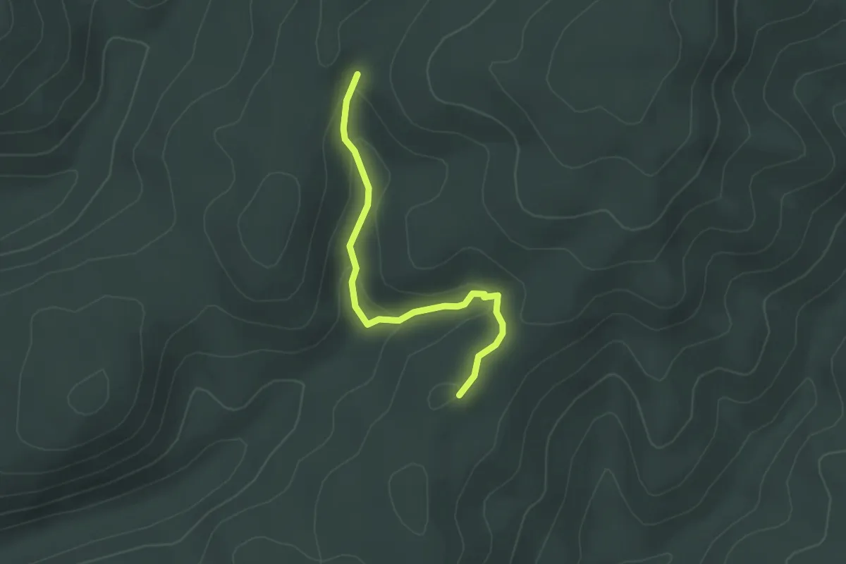
Easy · Trail
Red dot path
2.7 km · ↑ 94 m · 50 min
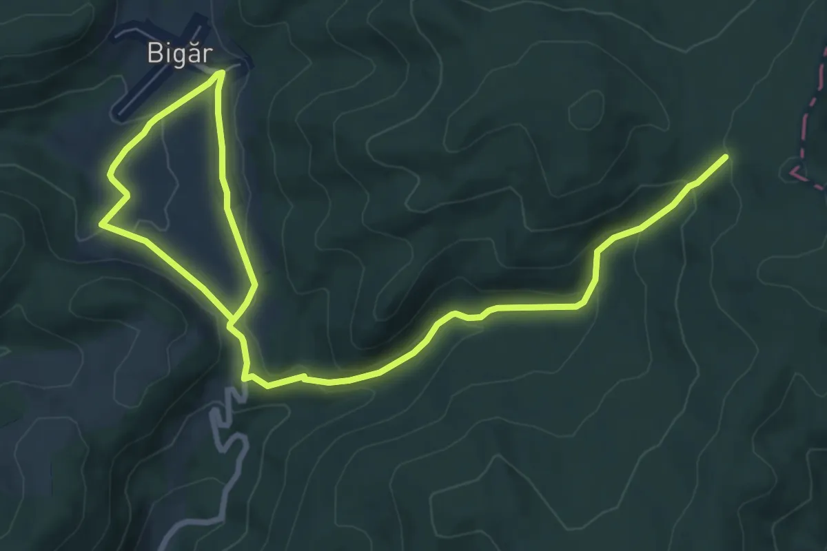
Medium · Trail
Red dot tourist path
11.9 km · ↑ 446 m · 3 h 47 min
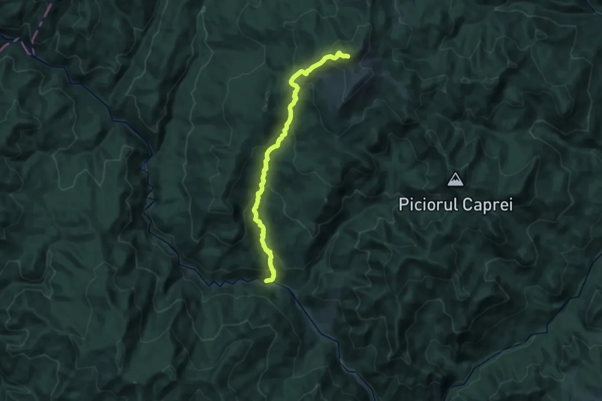
Demanding · Summit
red stripe
16.7 km · ↑ 1074 m · 6 h 17 min
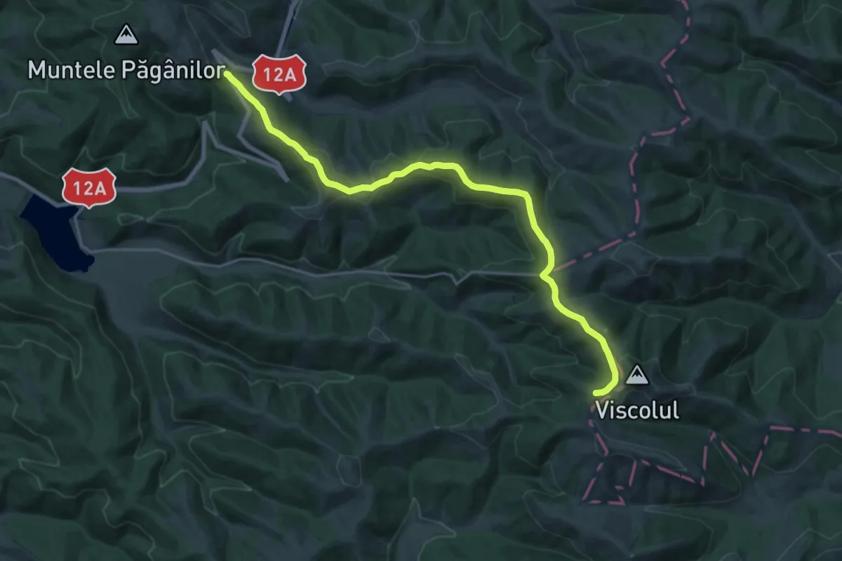
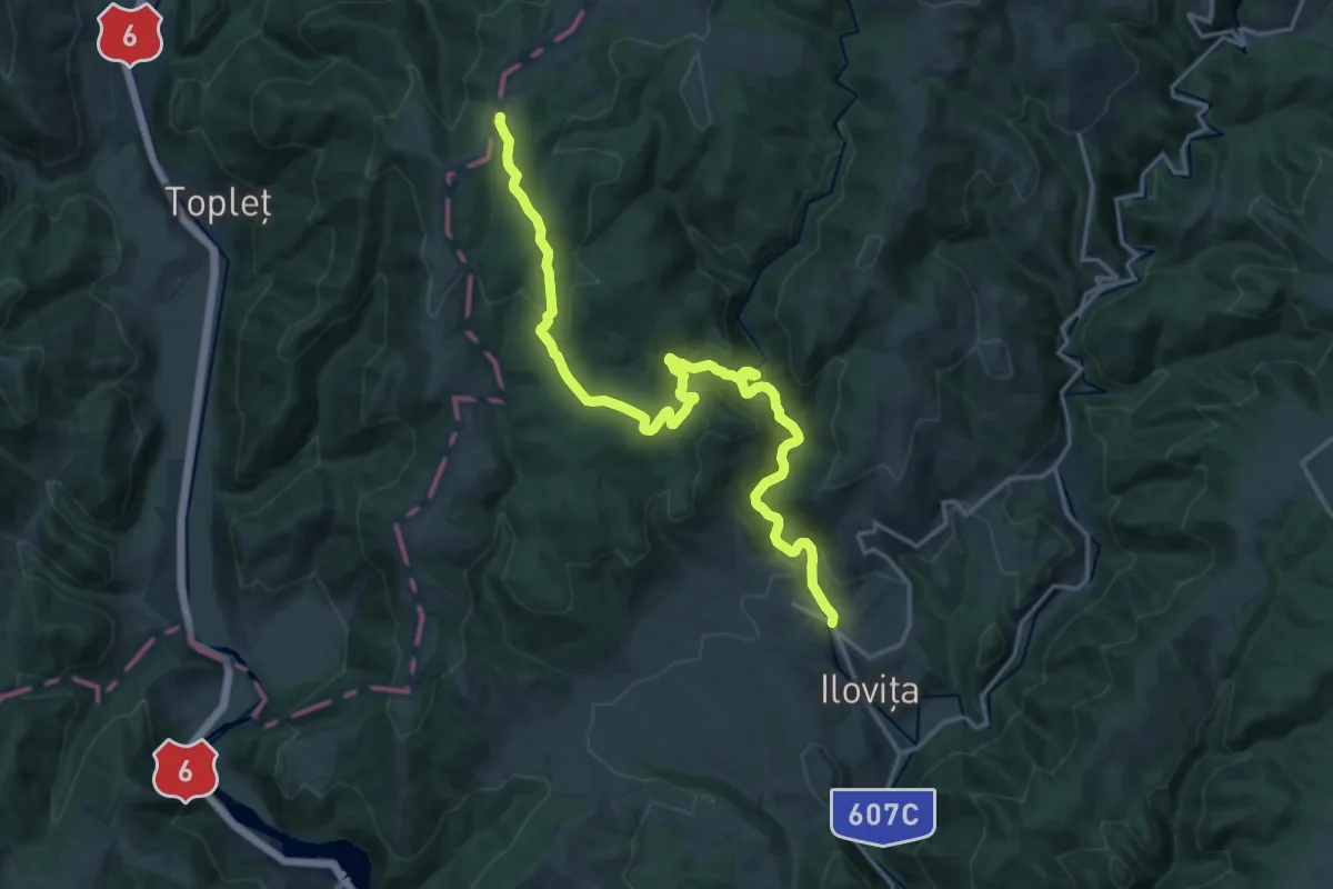
Demanding · Trail
red stripe
19.7 km · ↑ 463 m · 5 h 39 min
Demanding · Trail
red triangle
19.4 km · ↑ 727 m · 6 h 9 min
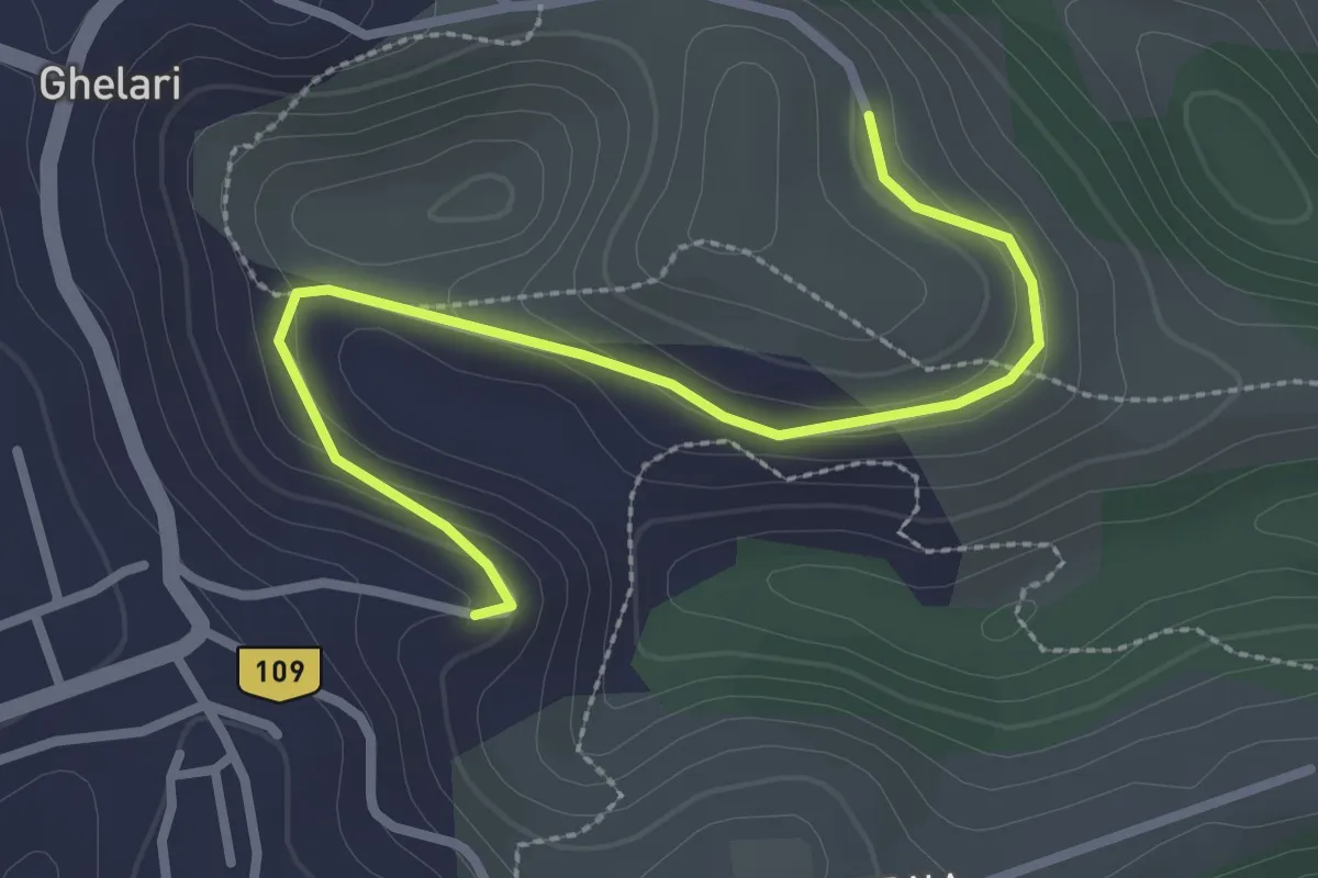
Easy · Trail
red triangle
3.0 km · ↑ 72 m · 52 min
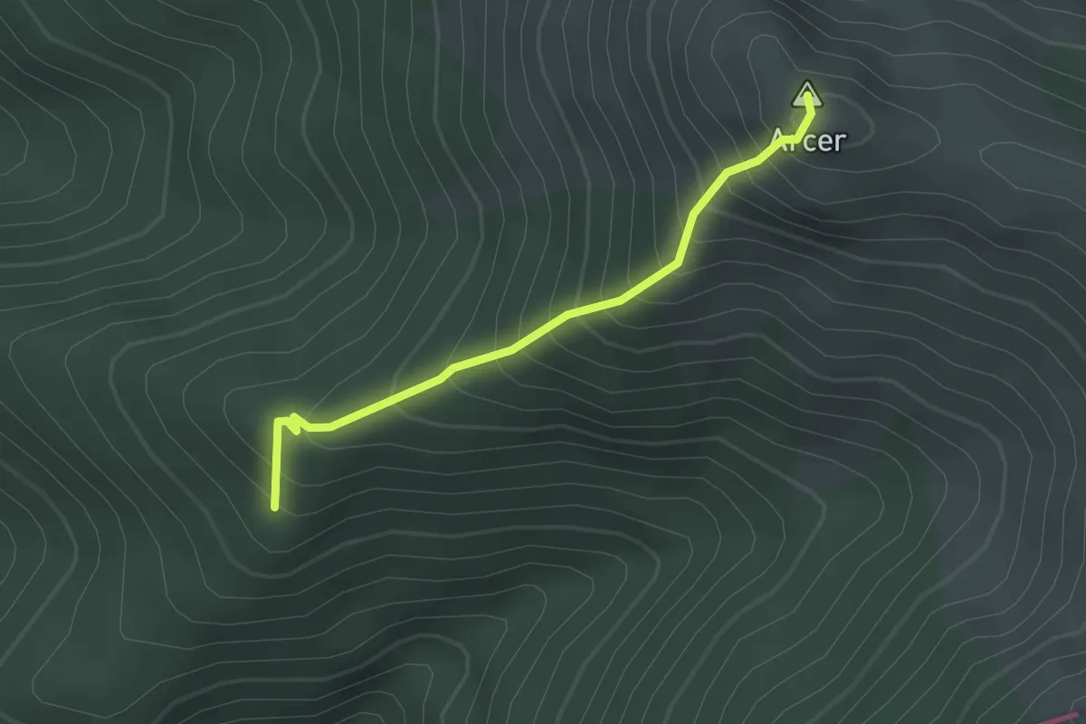
Medium · Summit
Refugiul Arcer - Vârful Arcer
2.2 km · ↑ 349 m · 1 h 17 min