Trails in Romania
1,356 hiking trails, each with its route, climb, walking time and grade.
All trails, page 6 of 29
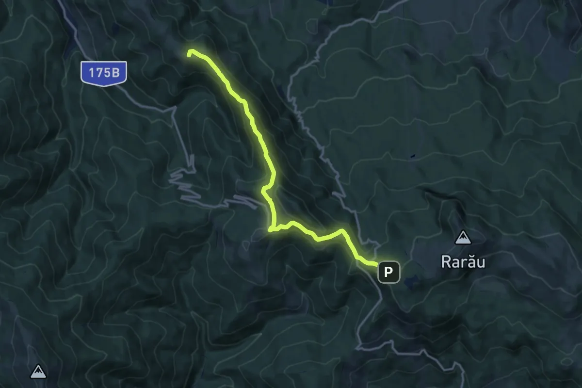
Medium · Summit
Câmpulung Moldovenesc – Culmea Munceii Rarăului – Hotel Rarău (blue stripe)
12.3 km · ↑ 635 m · 4 h 17 min
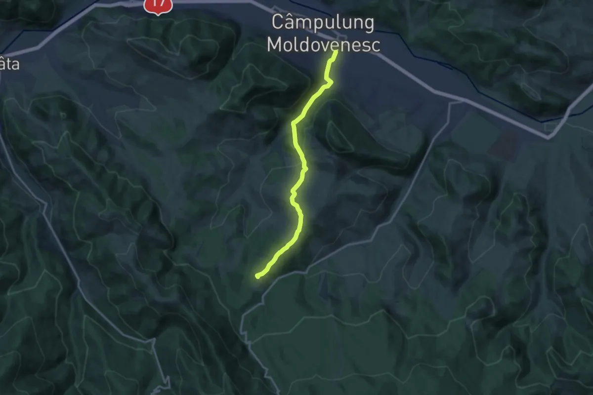
Medium · Summit
Câmpulung Moldovenesc - Mănăstirea Sihăstria Rarăului
11.6 km · ↑ 418 m · 3 h 38 min
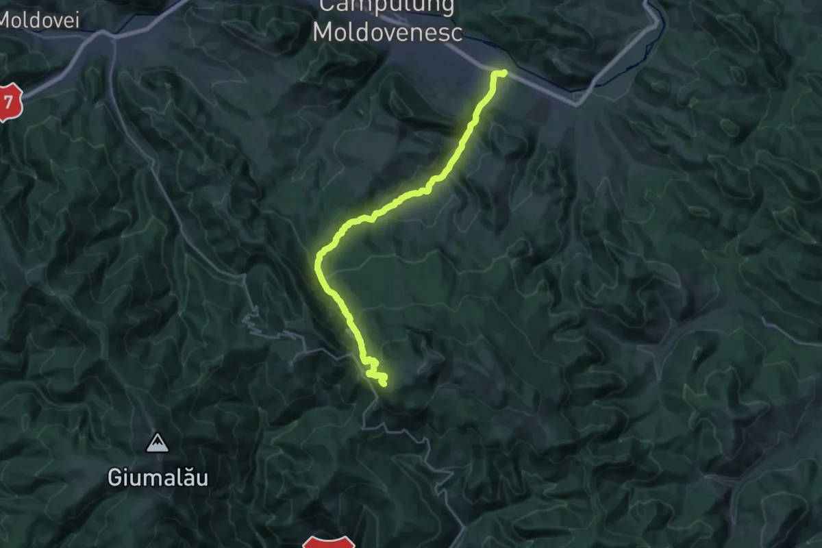
Demanding · Trail
Câmpulung Moldovenesc – Mănăstirea Sihăstria Rarăului – Hotel Rarău (red dot)
23.5 km · ↑ 879 m · 7 h 27 min
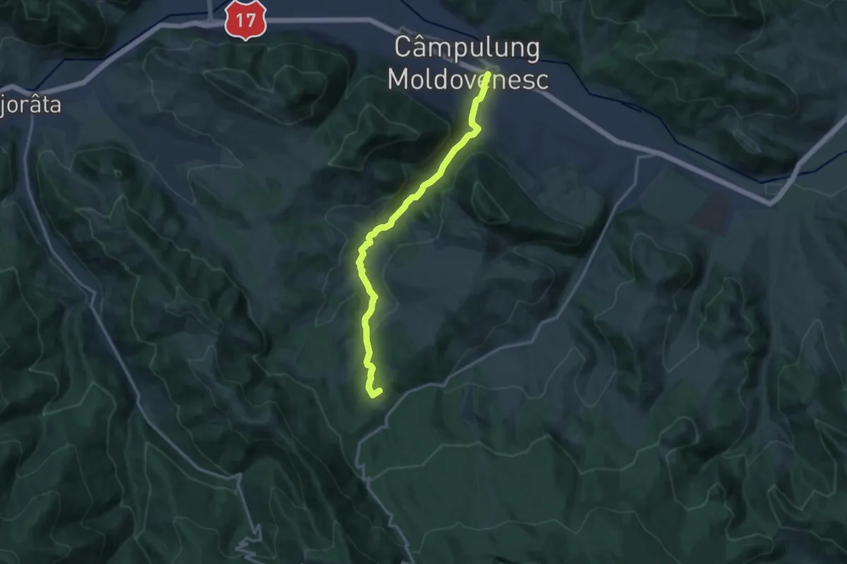
Medium · Summit
Câmpulung Moldovenesc - Poiana lui Mândrilă
12.7 km · ↑ 300 m · 3 h 39 min
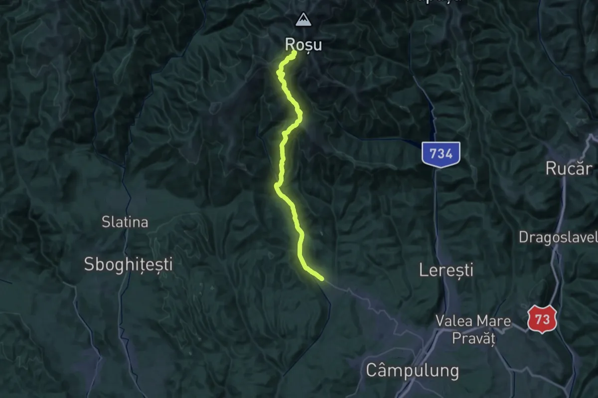
Demanding · Summit
Cândești - Piscul Caprei - Crucea Ateneului
38.6 km · ↑ 1845 m · 13 h 6 min
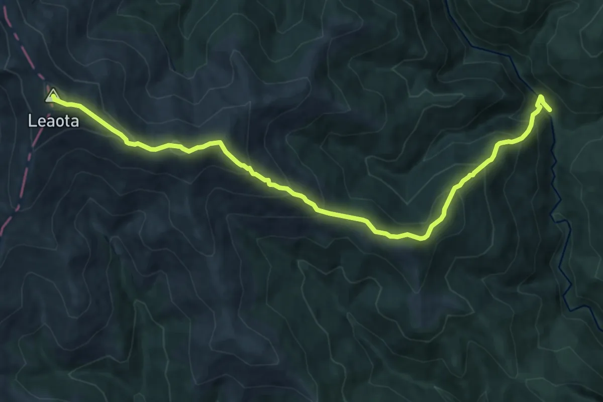
Demanding · Summit
Canton Brătei - Muntele Răteiul - Vârful Leaota
12.8 km · ↑ 1061 m · 5 h 20 min
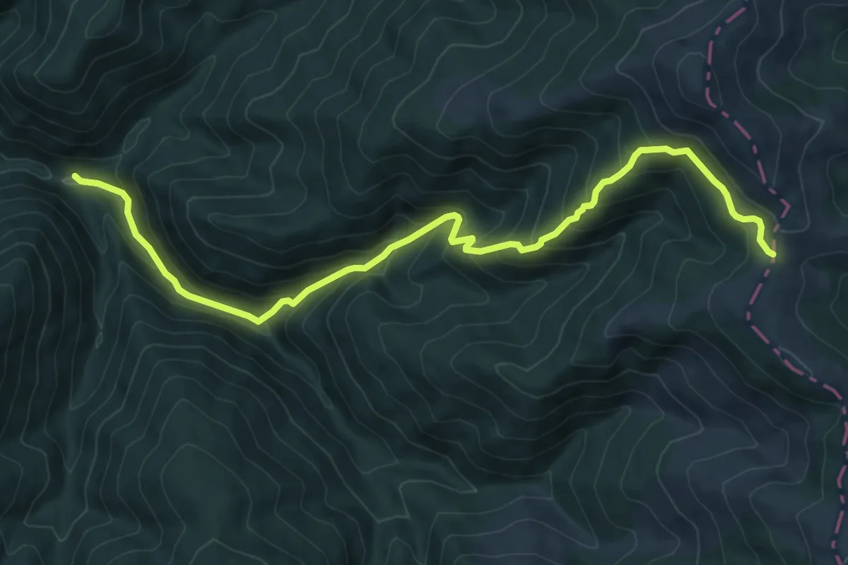
Demanding · Trail
Canton Forestier Andolia - Muntele Secările
10.0 km · ↑ 813 m · 4 h 7 min
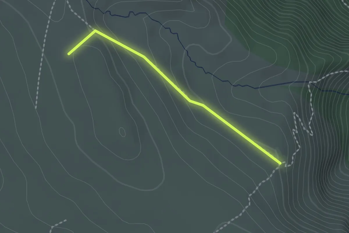
Medium · Summit
Canton Schiel/Jepi - Sub Vârful Ciocârlia
1.7 km · ↑ 64 m · 33 min
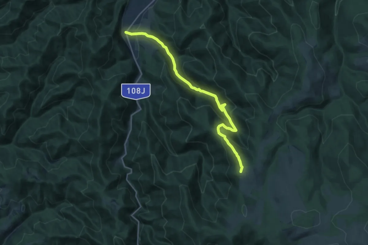
Demanding · Summit
Canton Sebişel - Coada Lacului Leşu
14.8 km · ↑ 850 m · 5 h 21 min
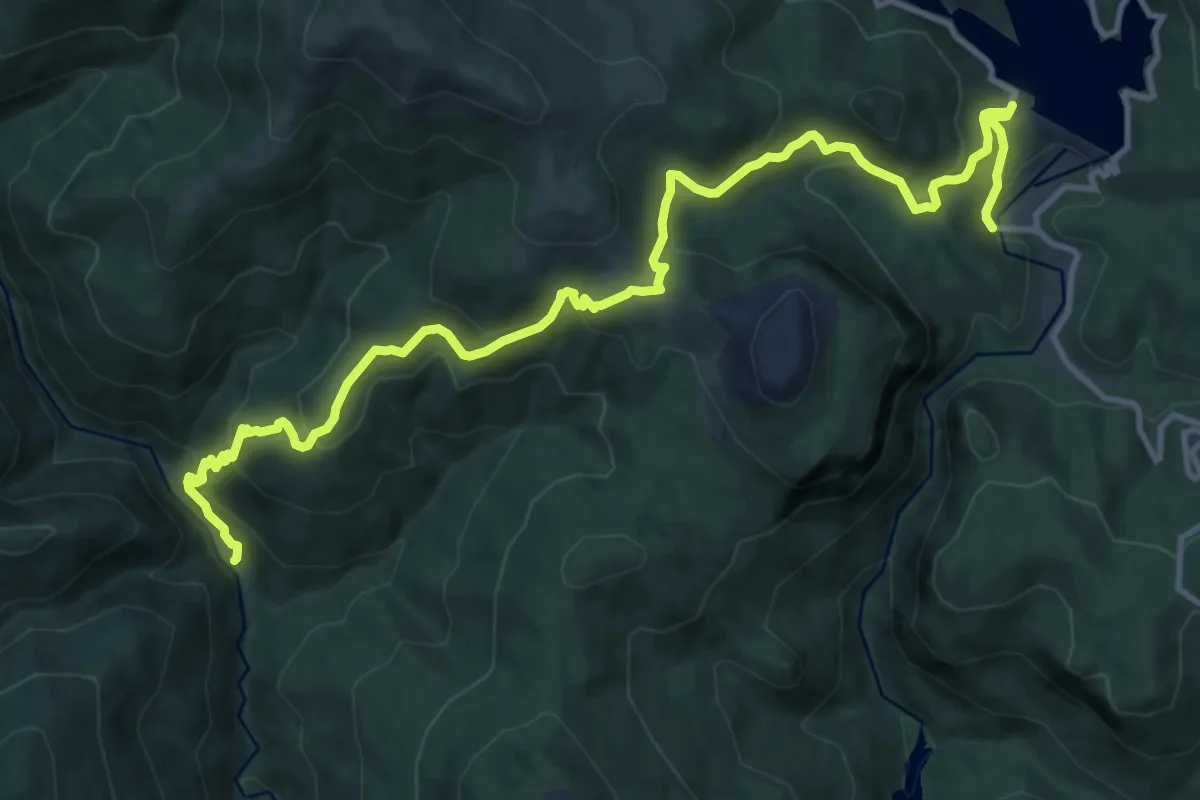
Medium · Trail
Cantonul Brătei - Șaua Lucăcilă - Cabana Bolboci
15.0 km · ↑ 774 m · 5 h 12 min
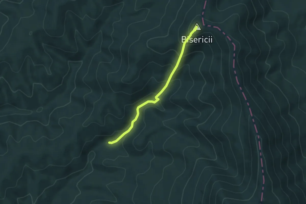
Medium · Summit
Cantonul Prisaca - Vf. Bisericii - Vf. Pleșu
4.3 km · ↑ 349 m · 1 h 47 min
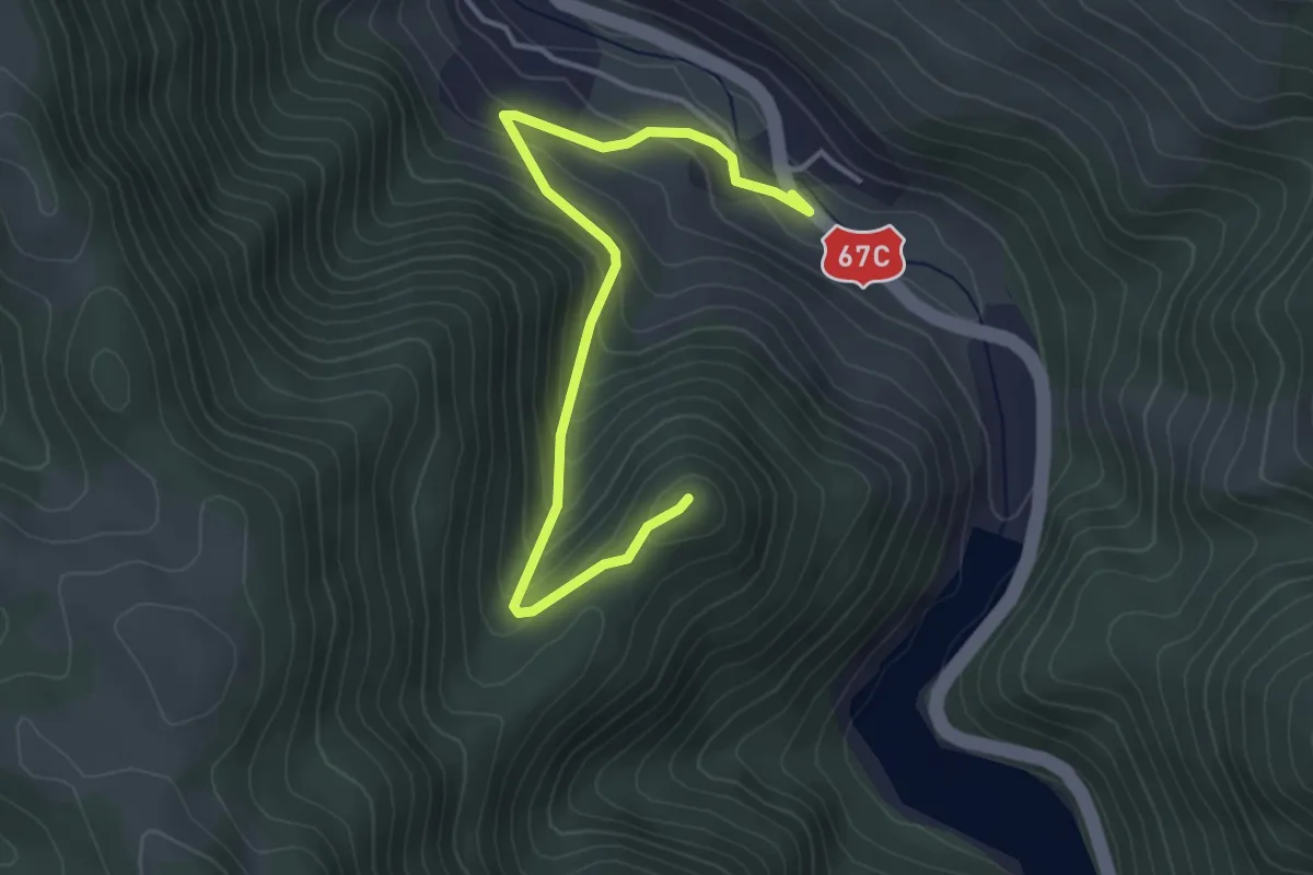
Easy · Trail
Căpâlna - Cetatea Căpâlna
4.2 km · ↑ 285 m · 1 h 36 min
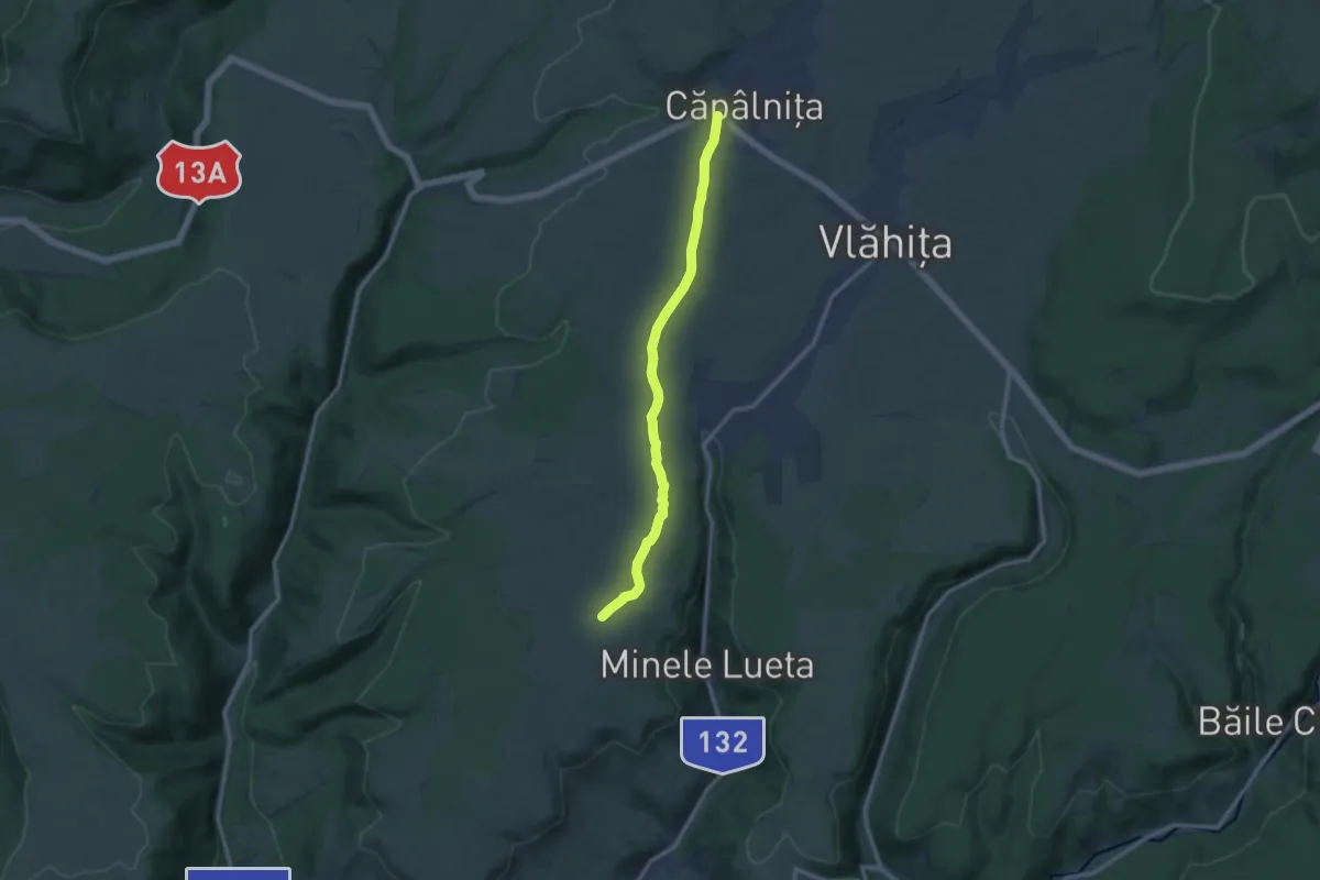
Medium · Trail
Câpâlnița - Poiana Narciselor
11.0 km · ↑ 74 m · 2 h 46 min
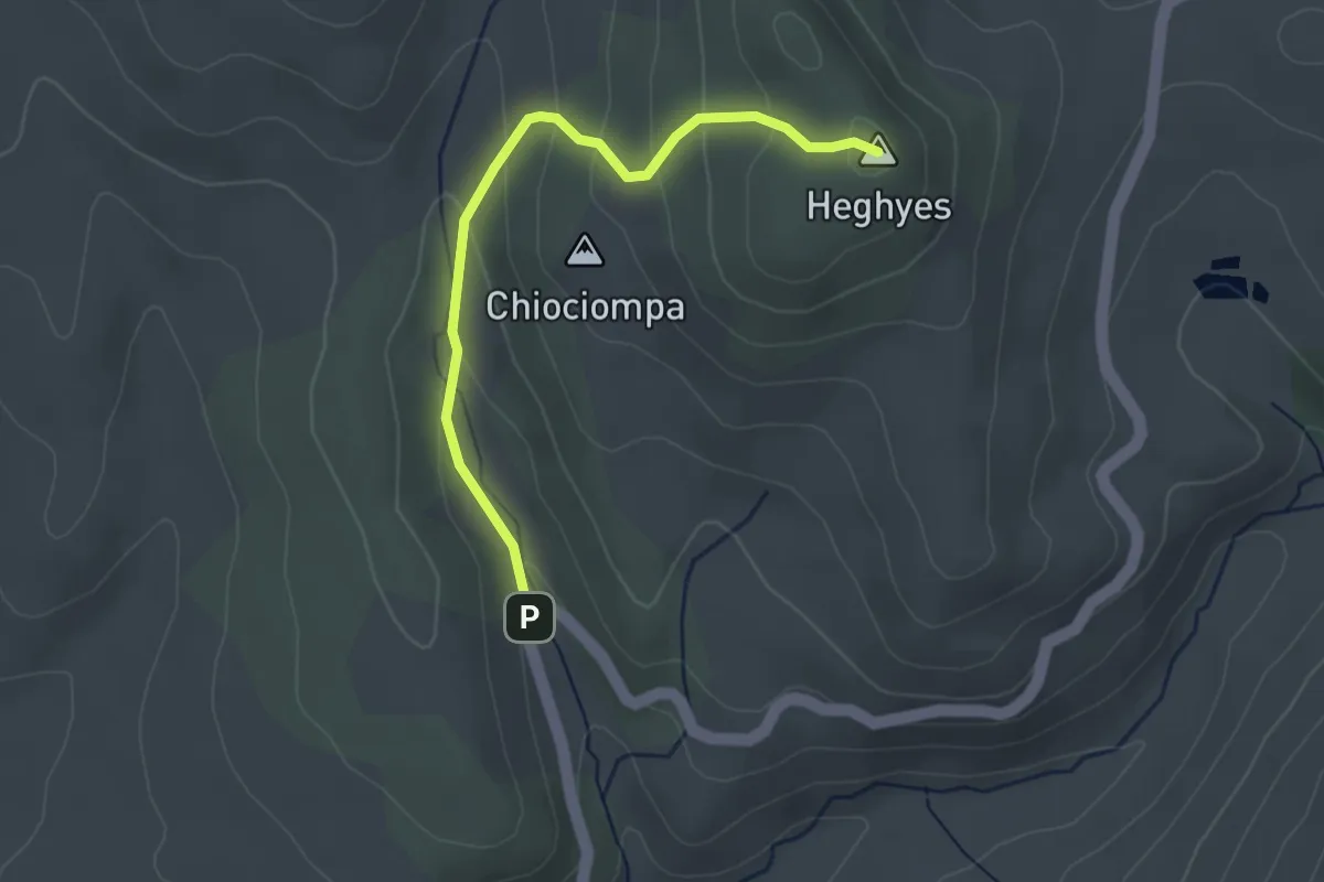
Easy · Summit
Capela Sf. Ana - Vf. Hegyes - Rez-nyaka
3.2 km · ↑ 172 m · 1 h 8 min
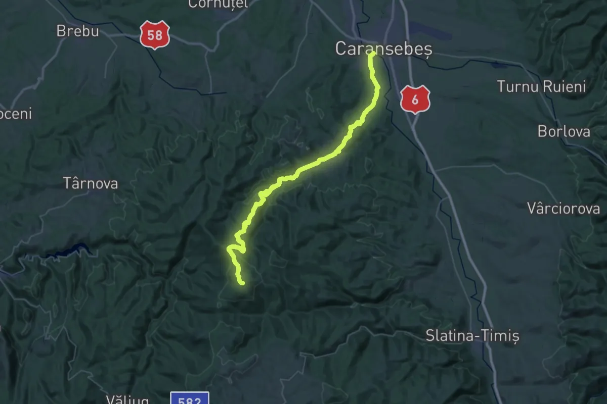
Demanding · Summit
Caransebeș-Poiana-Lindenfeld-Gărâna (red stripe)
42.6 km · ↑ 1217 m · 12 h 41 min
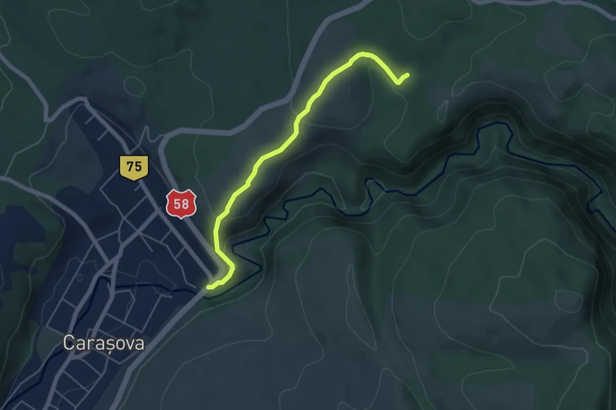
Easy · Trail
Carasova - Cetatea Turcului
4.7 km · ↑ 211 m · 1 h 34 min
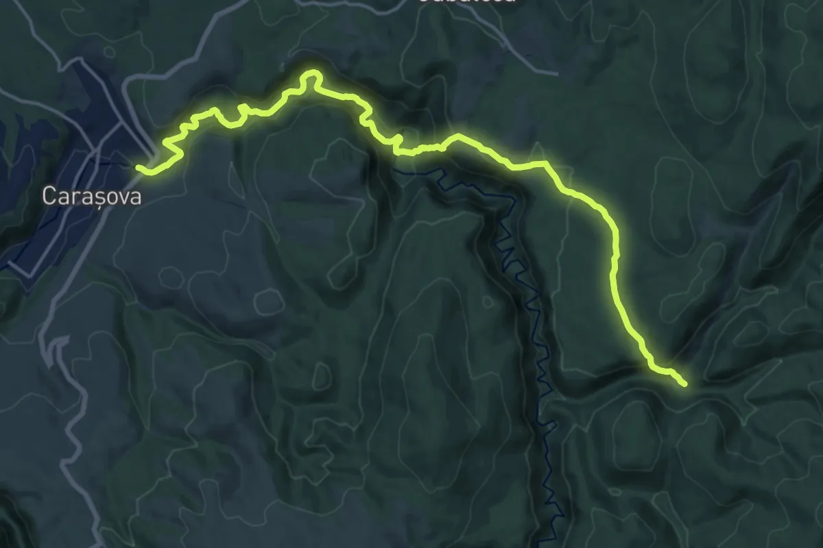
Demanding · Trail
Carașova - Comarnic (Cheile Carașului )
20.1 km · ↑ 910 m · 6 h 44 min
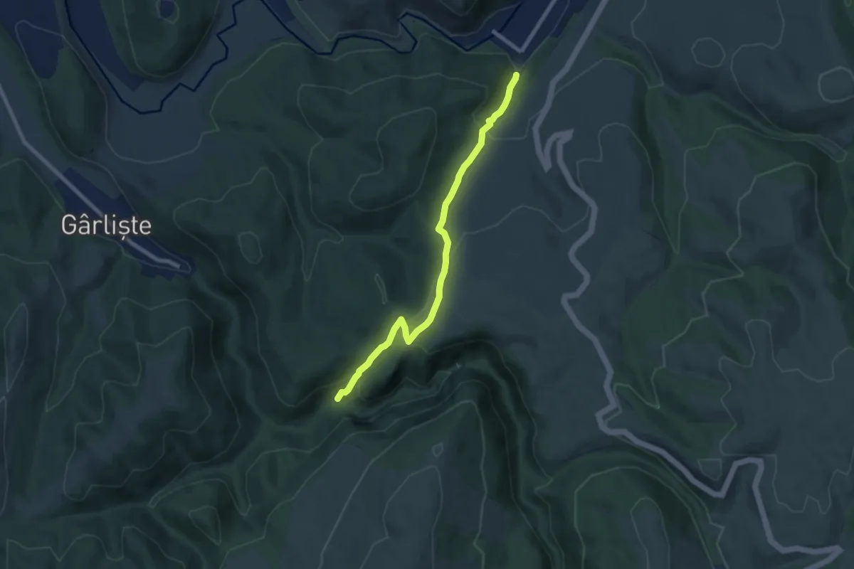
Medium · Trail
Carașova - Gîrliște
7.2 km · ↑ 386 m · 2 h 33 min
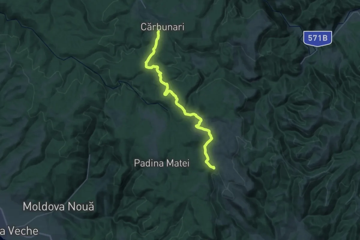
Expert · Trail
Cărbunari – Gârnic (red stripe)
26.7 km · ↑ 550 m · 7 h 30 min
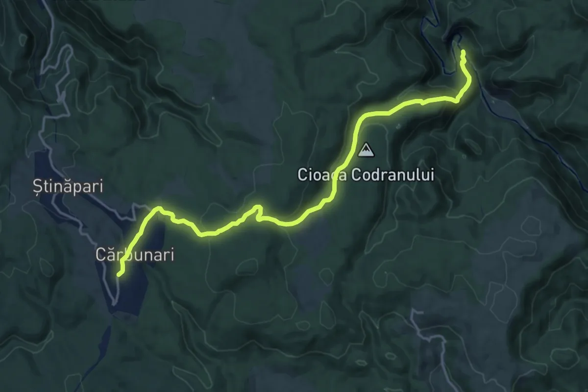
Medium · Trail
Cărbunari – Lacul Dracului (blue stripe)
17.0 km · ↑ 528 m · 5 h 10 min
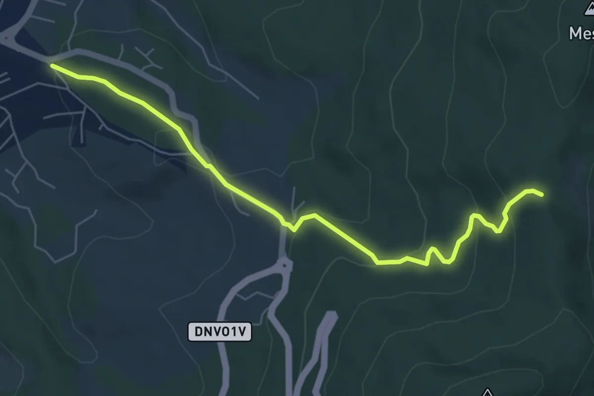
Easy · Trail
Cariera Calcita
6.2 km · ↑ 285 m · 2 h 4 min
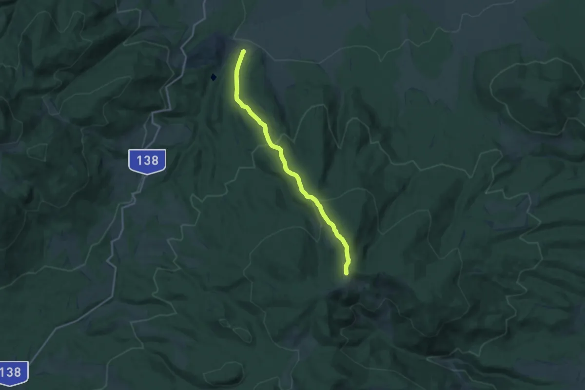
Medium · Trail
Cariera Suseni - Culmea Fagului - intersecție traseul CA
12.2 km · ↑ 590 m · 4 h 9 min
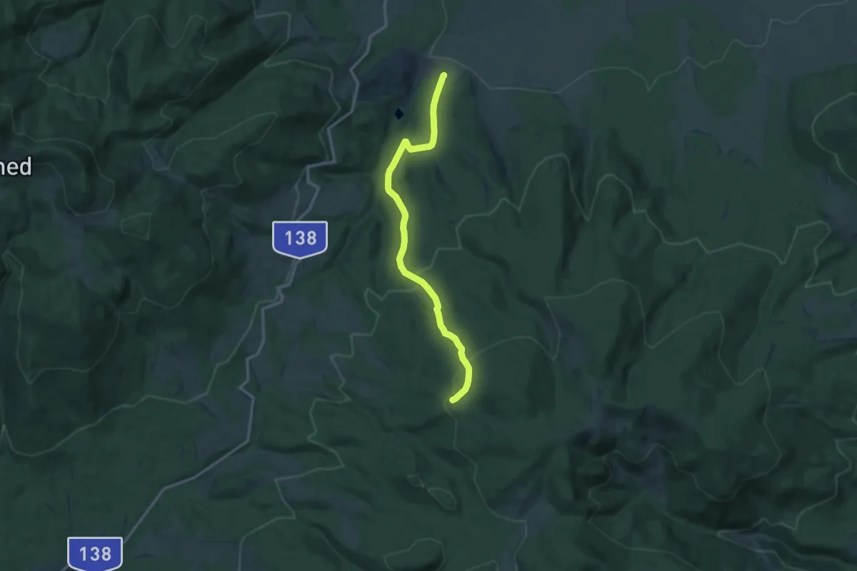
Medium · Trail
Cariera Suseni - intersecție traseul BA (creasta principală)
12.2 km · ↑ 510 m · 4 h
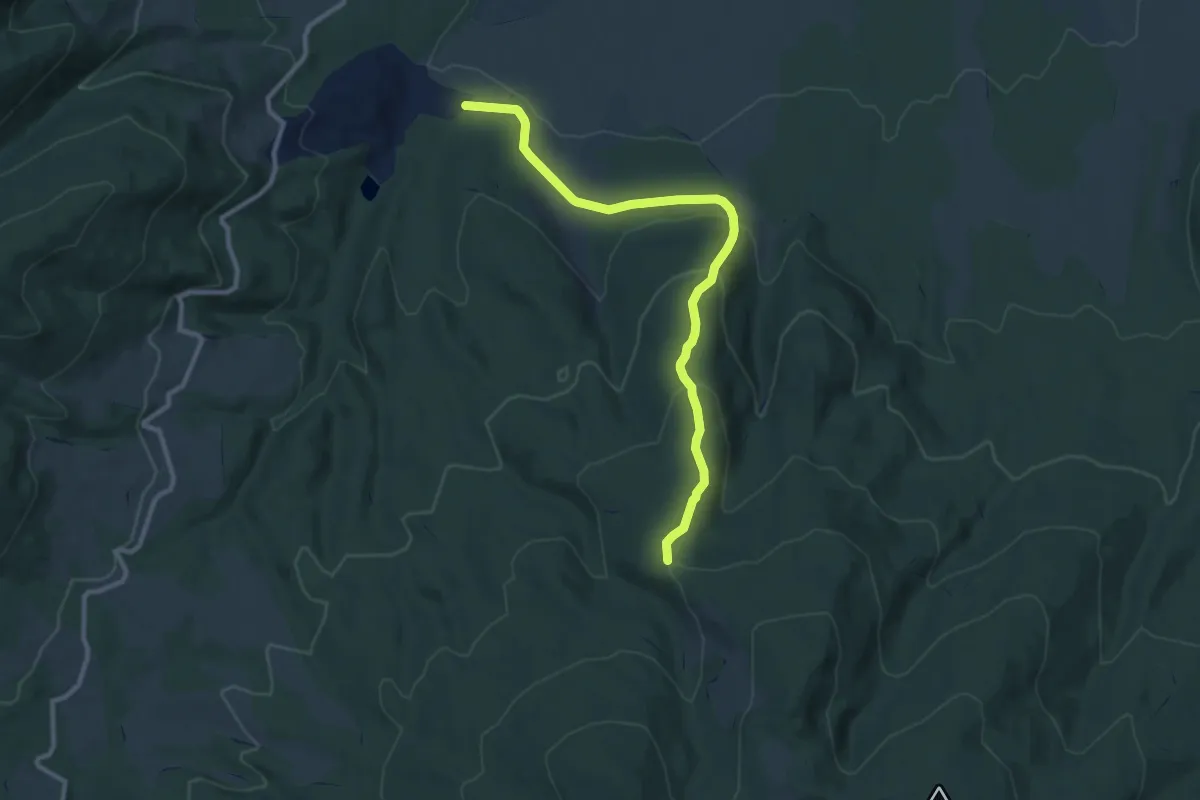
Medium · Trail
Cariera Suseni - intersecție traseul CG
10.3 km · ↑ 399 m · 3 h 18 min
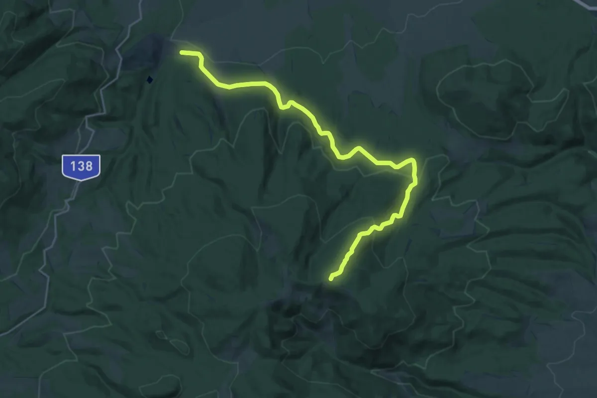
Demanding · Trail
Cariera Suseni - Muntele Fabian - intersecție traseul CA
20.6 km · ↑ 665 m · 6 h 18 min
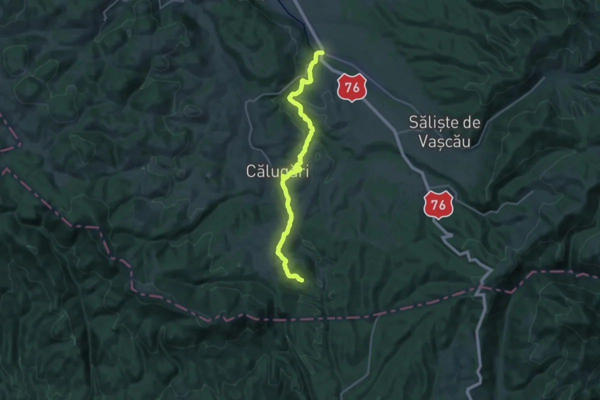
Medium · Trail
Cărpinet – Izbucul Călugări
17.9 km · ↑ 358 m · 5 h
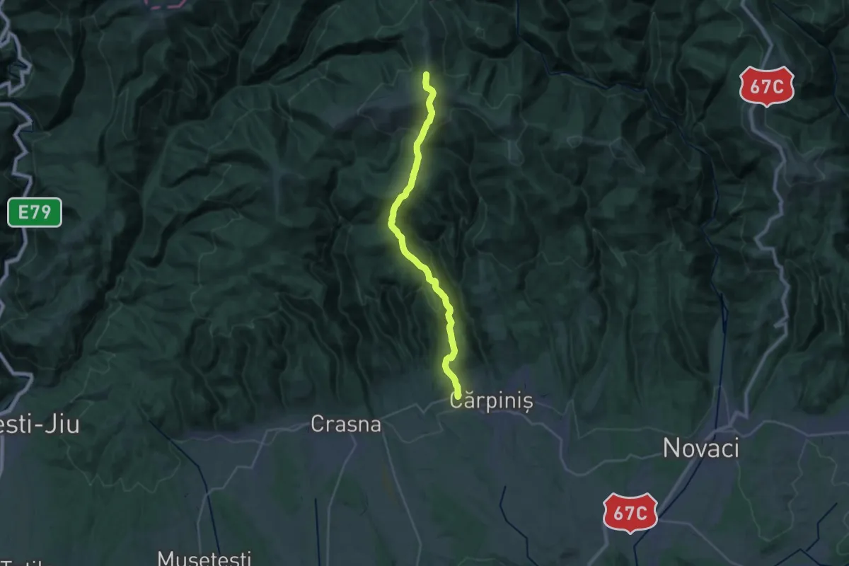
Medium · Trail
Cărpiniș - Șaua La Mocirle - Șaua Izvorul Cald
11.9 km · ↑ 60 m · 3 h 40 min
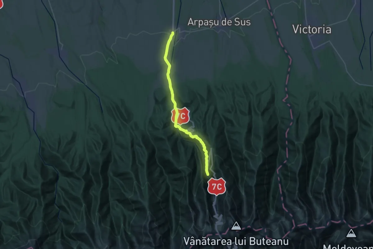
Demanding · Trail
Cârțișoara - Cabana Vama Cucului - Cabana Bâlea Cascadă
23.8 km · ↑ 918 m · 7 h 37 min
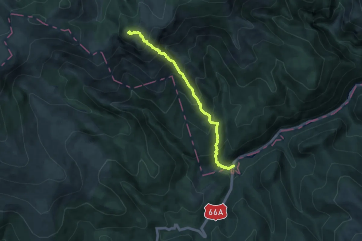
Medium · Summit
Casa de vânătoare Câmpușel - Piatra Iorgovanului - Lunca Berhina
7.0 km · ↑ 794 m · 3 h 22 min
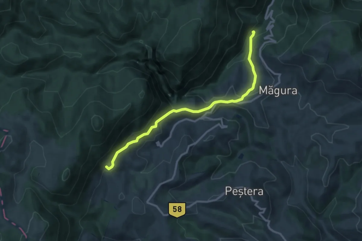
Medium · Trail
Casa Folea-Prăpăstiile Zărneștilor
8.2 km · ↑ 396 m · 2 h 47 min
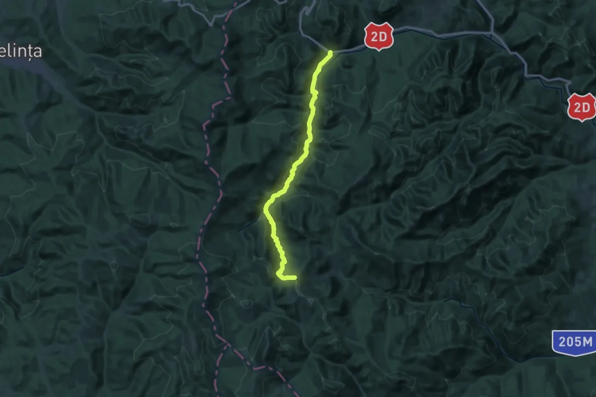
Demanding · Trail
Casa lui Neagu Valea Raului Putna Paraul Bradului Saua Poienitei (red dot)
15.4 km · ↑ 913 m · 5 h 27 min
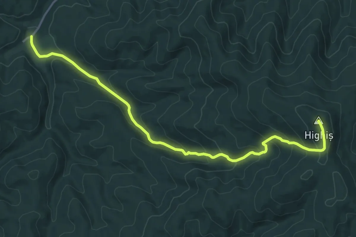
Medium · Summit
Căsoaia - Vf. Highiș
11.9 km · ↑ 578 m · 4 h 4 min
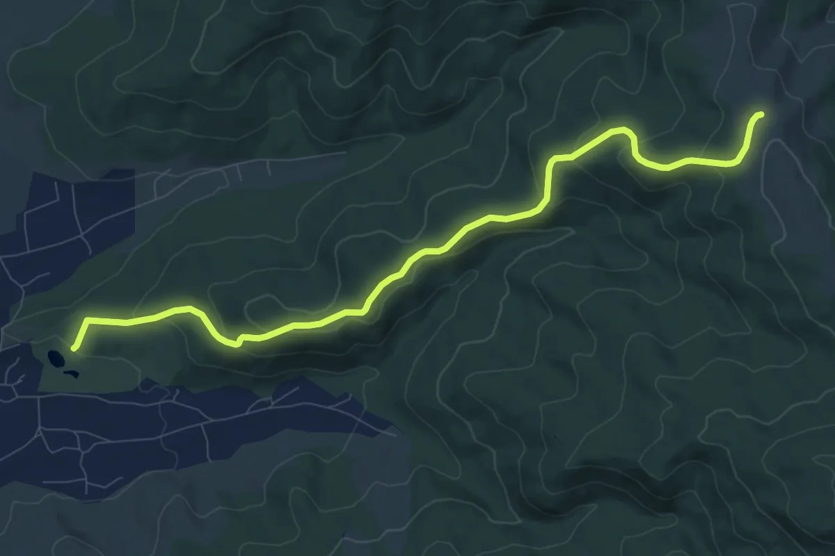
Medium · Trail
Castelul Mikes - Dl. Căpâlna
10.6 km · ↑ 422 m · 3 h 26 min
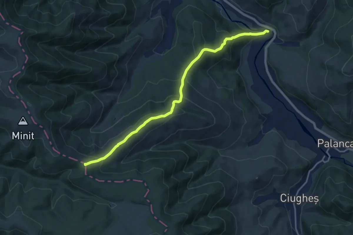
Medium · Summit
Castelul Rákóczi triunghi roșu (R3)
11.3 km · ↑ 646 m · 4 h 4 min
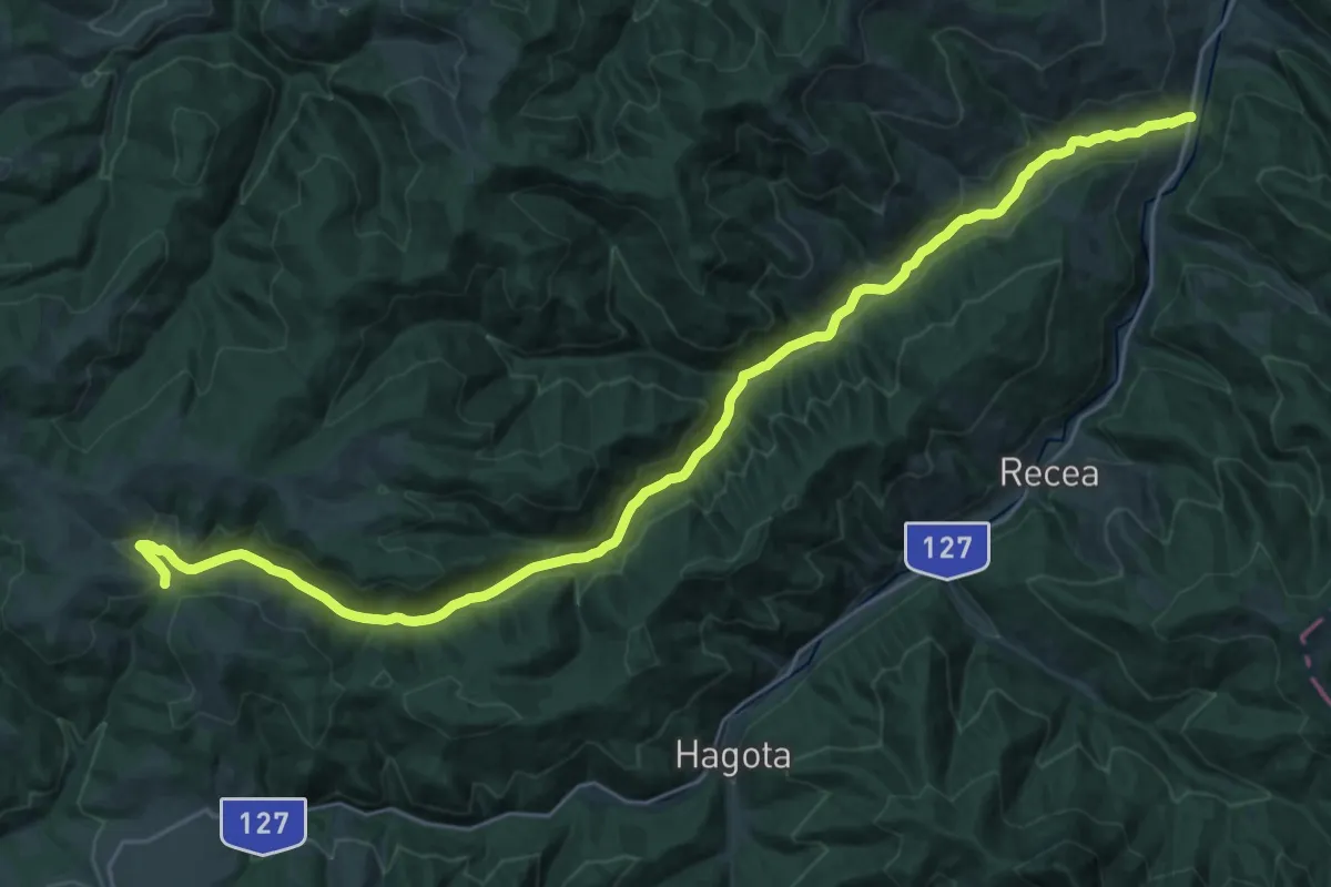
Medium · Trail
cătun Putna Mare - Poiana Licheneu
14.9 km · ↑ 556 m · 4 h 40 min
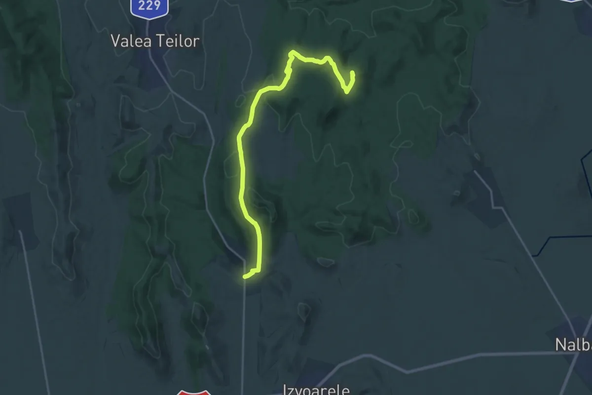
Medium · Summit
Celic - Alba
17.9 km · ↑ 402 m · 5 h 5 min
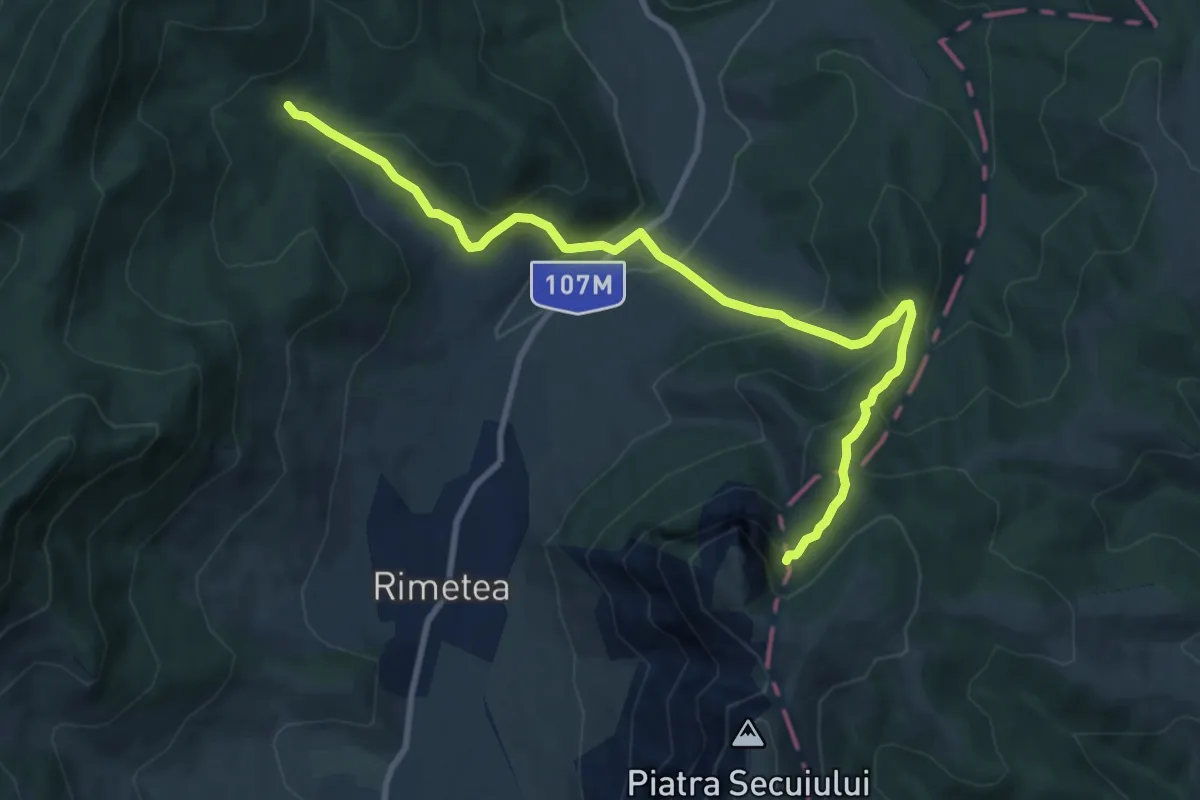
Medium · Trail
Centrul de Informare Turistică Rimetea - Fânațu Mare - sub Colții Trascăului
10.7 km · ↑ 694 m · 4 h 2 min
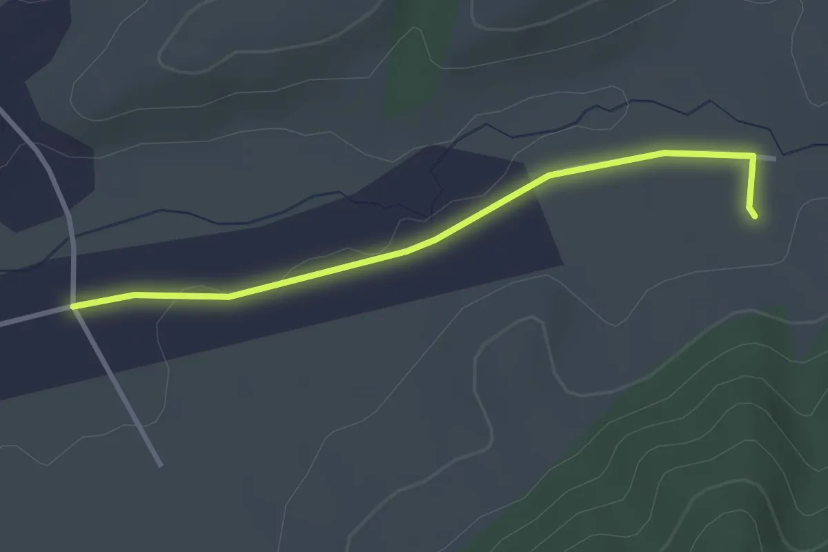
Easy · Trail
centru spa
2.8 km · ↑ 8 m · 41 min
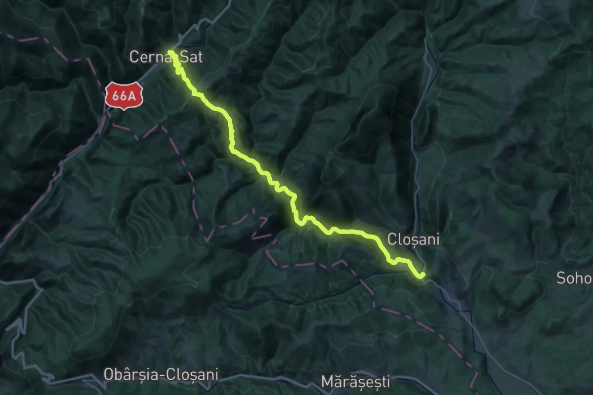
Demanding · Trail
Cerna Sat - Motru Sec
15.9 km · ↑ 928 m · 5 h 55 min
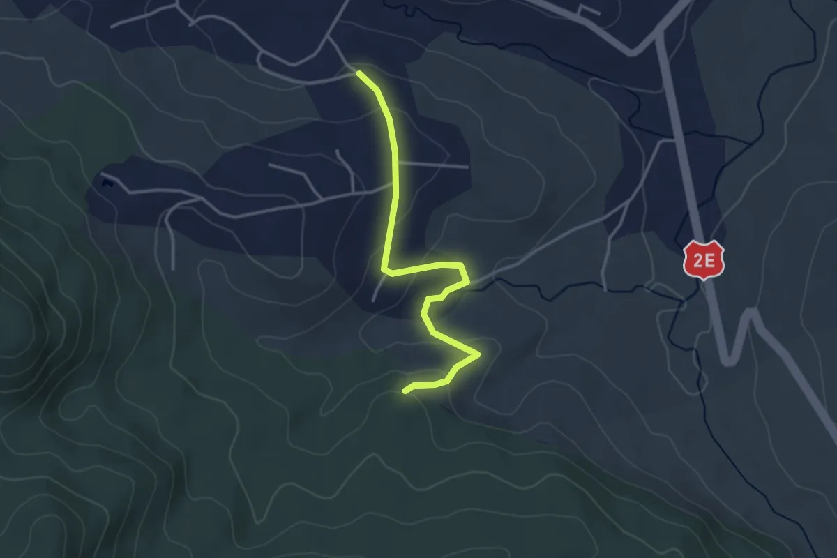
Easy · Trail
Cetatea de piatră
3.2 km · ↑ 103 m · 58 min
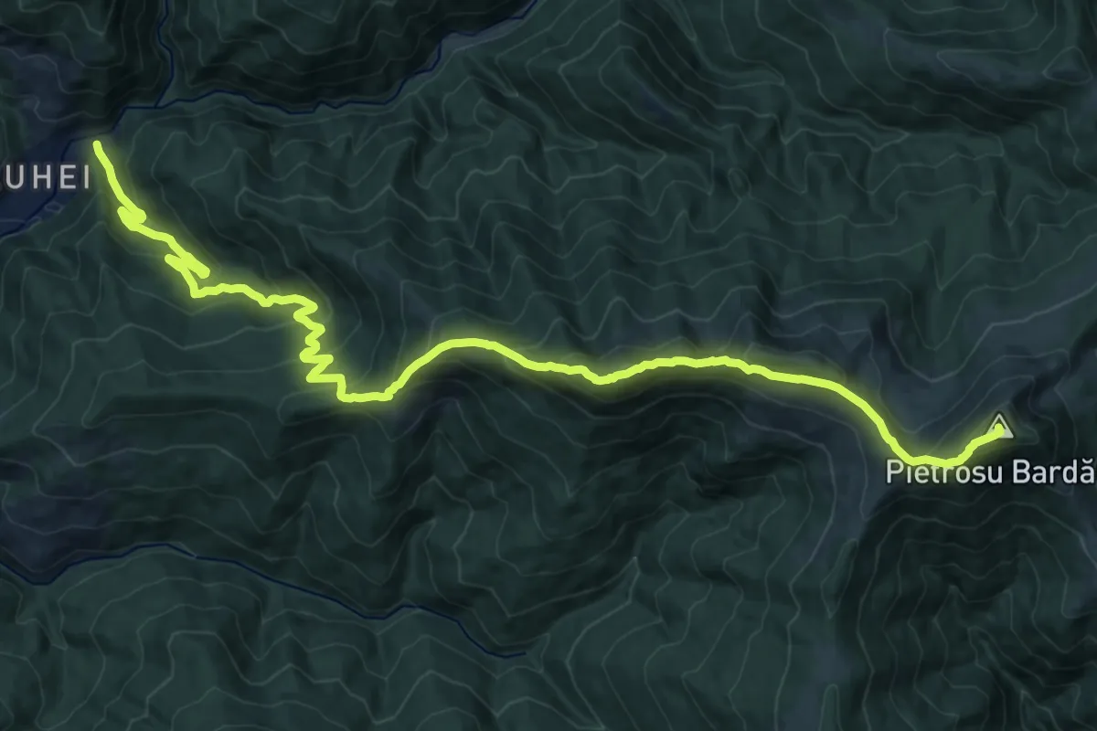
Demanding · Summit
C.F.F. Bardău - Vf. Pecealu - Cabana Silvică Coșnea
23.9 km · ↑ 1525 m · 8 h 57 min
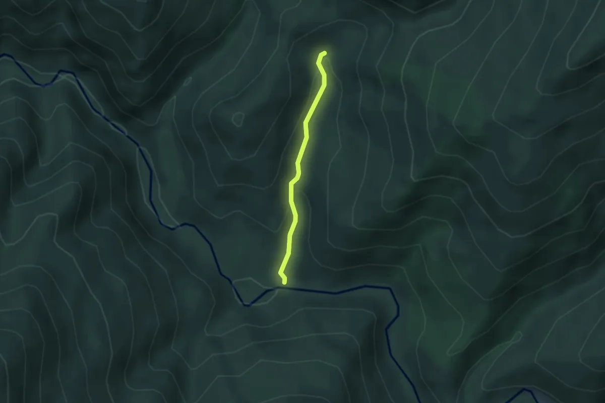
Easy · Trail
C.F.F. Șuligu - Borcut Șuligu
2.4 km · ↑ 106 m · 47 min
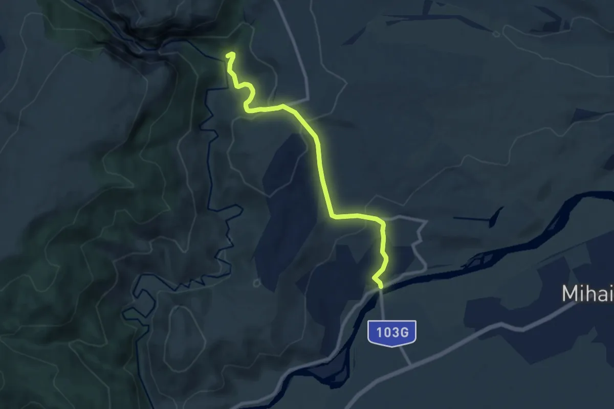
Easy · Cabin
Cheia - Cabana Cheile Turzii
7.8 km · ↑ 290 m · 2 h 28 min
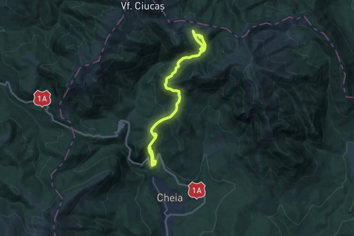
Demanding · Trail
Cheia - Cabana M. Roșu - Cabana Vf. Ciucaș
17.5 km · ↑ 1146 m · 6 h 37 min
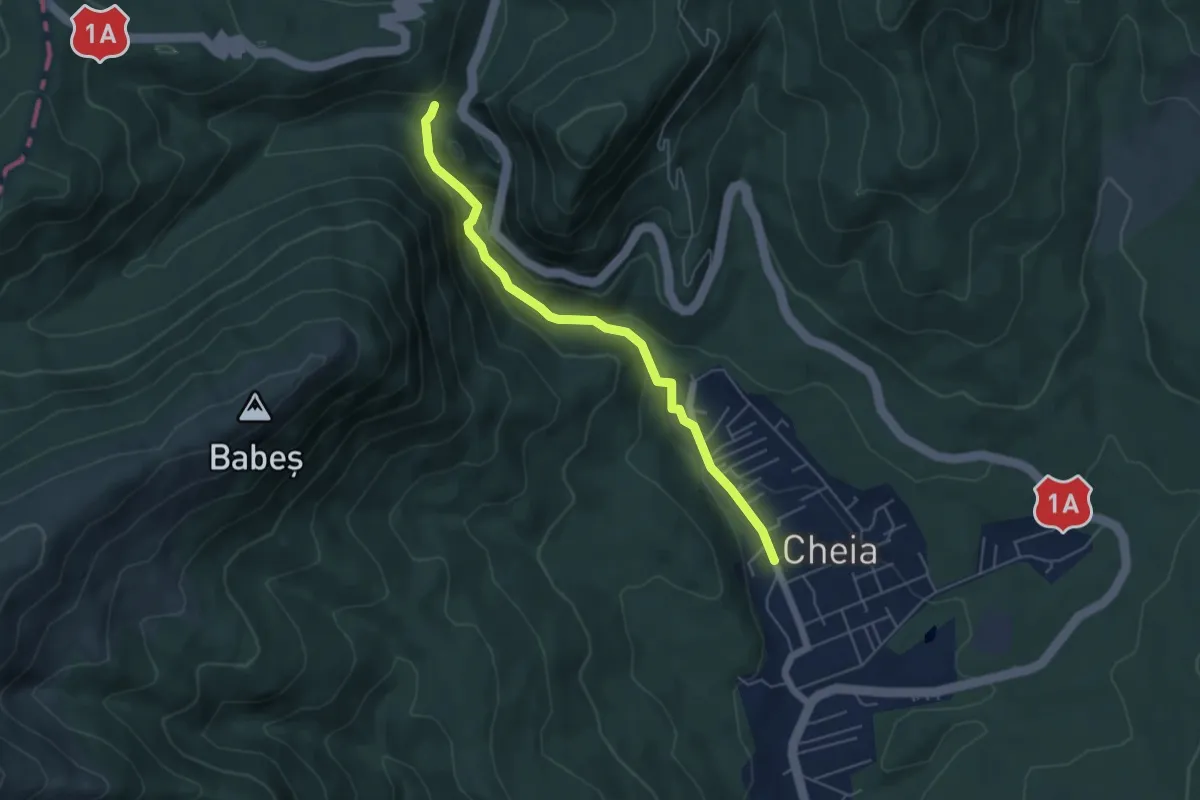
Medium · Trail
Cheia - Cheile Cheiței - drum forestier Babeș
5.2 km · ↑ 203 m · 1 h 40 min
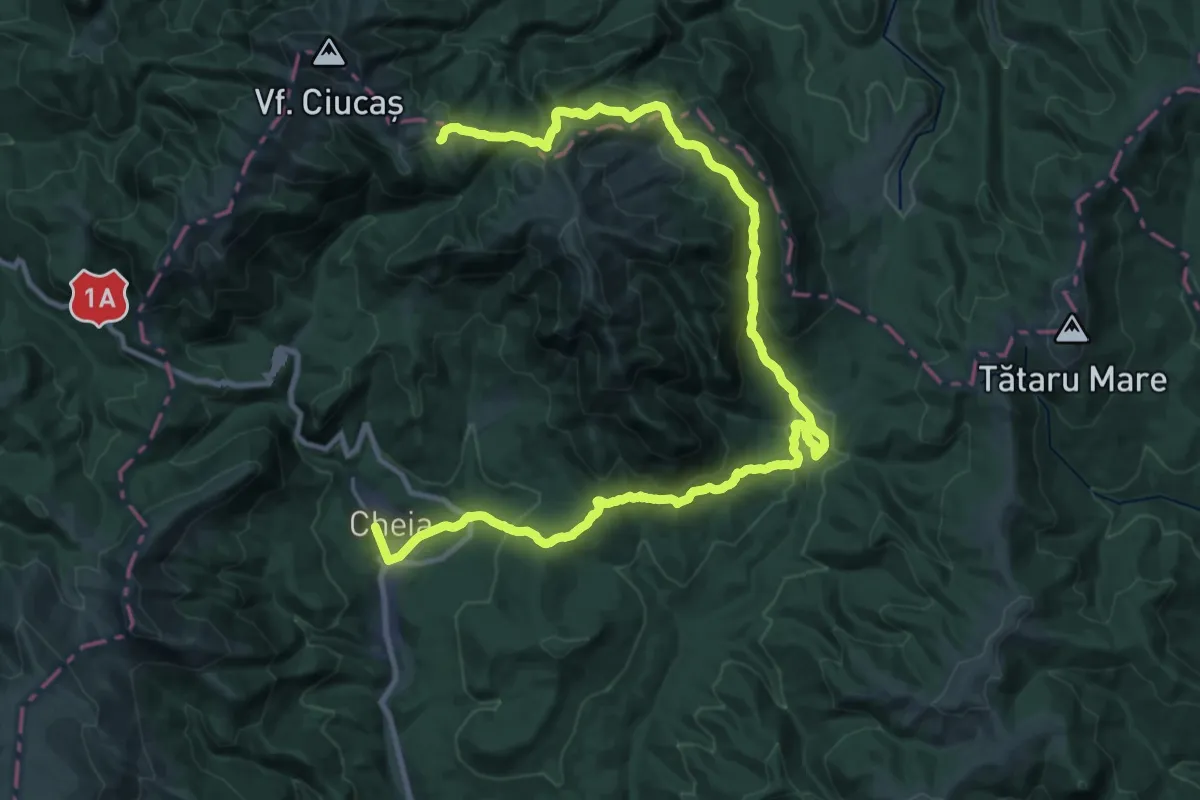
Demanding · Cabin
Cheia - Curmătura Stânii - Cabana Vf. Ciucaș
19.1 km · ↑ 1080 m · 6 h 46 min
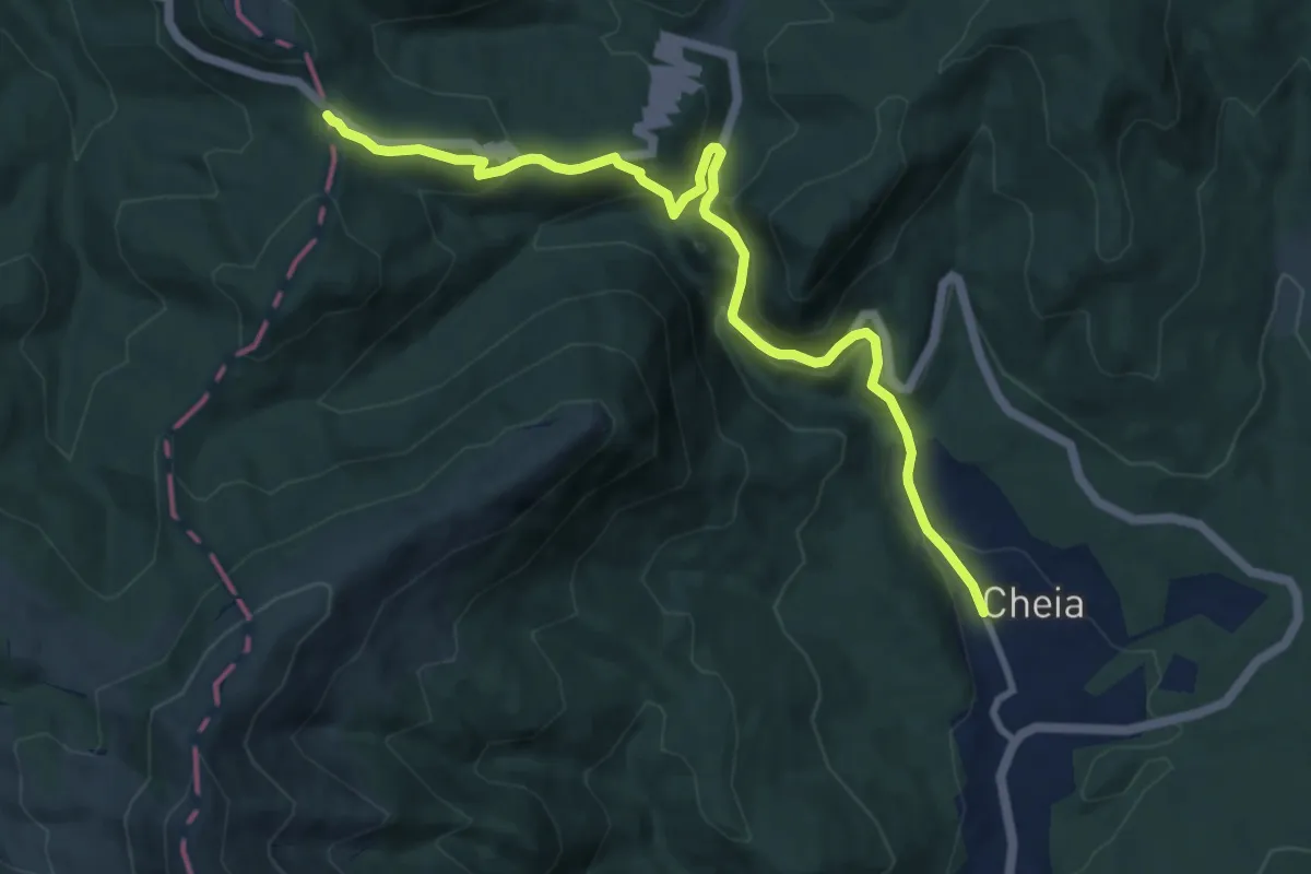
Medium · Trail
Cheia - Pasul Bratocea
10.7 km · ↑ 486 m · 3 h 35 min
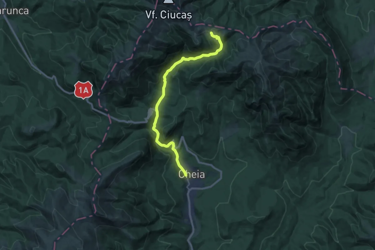
Demanding · Cabin
Cheia - V. Berii - Cabana Vf. Ciucaș
17.1 km · ↑ 816 m · 5 h 49 min