Trails near Доњи Милановац
16 hikes starting within 15 km, nearest first.
Nearest first
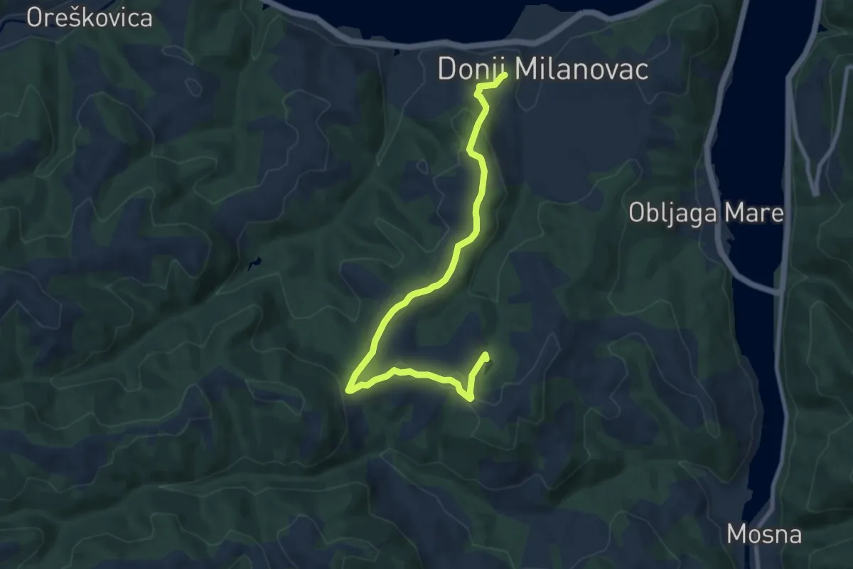
Medium · Trail
Златно језеро
9.5 km · ↑ 253 m · 2 h 47 min · under 1 km away
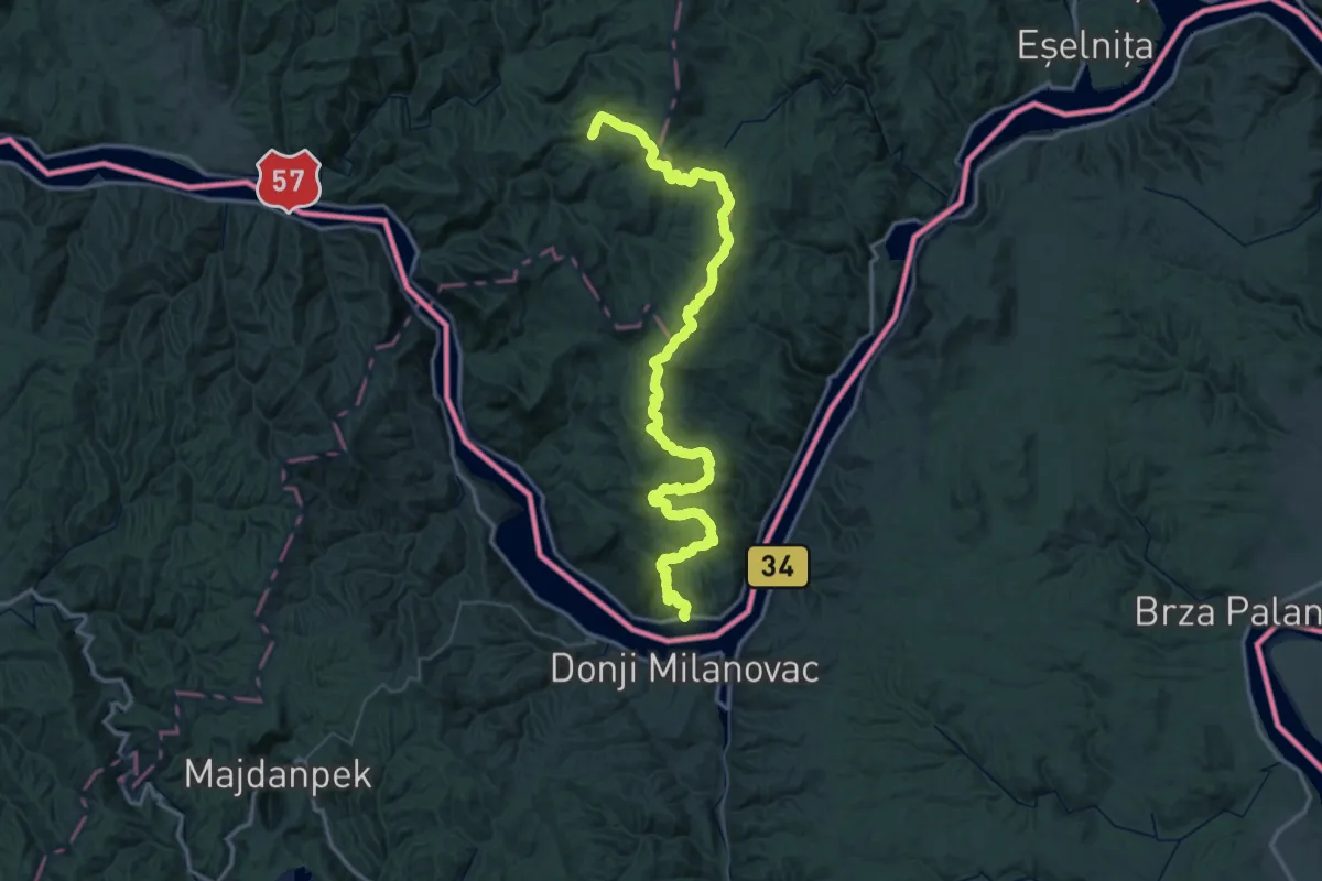
Demanding · Trail
Tricule - Eibental – Bigăr (yellow tourist path)
39.4 km · ↑ 1772 m · 13 h 27 min · 2 km away
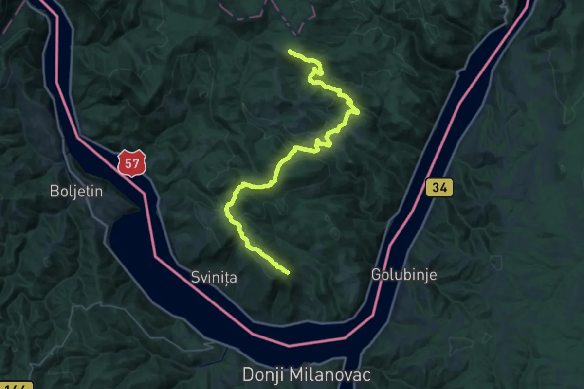
Demanding · Summit
Eibental – Známaná (green tourist path)
36.3 km · ↑ 1524 m · 11 h 53 min · 4 km away
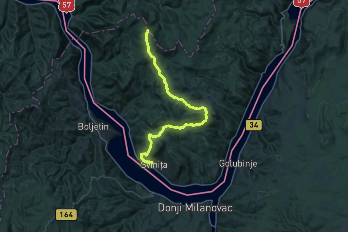
Demanding · Summit
Sviniţa - Eibental – Sfanta Elena (red turist path)
45.3 km · ↑ 1507 m · 13 h 57 min · 6 km away
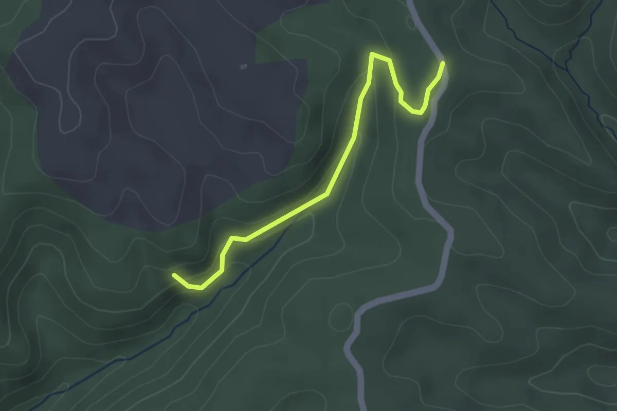
Easy · Trail
Градишница
3.2 km · ↑ 110 m · 59 min · 7 km away
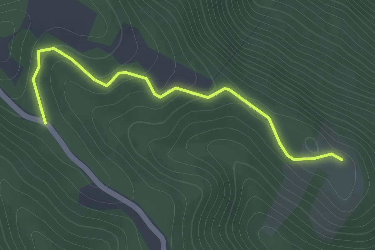
Easy · Trail
Ковилово
2.8 km · ↑ 144 m · 58 min · 7 km away
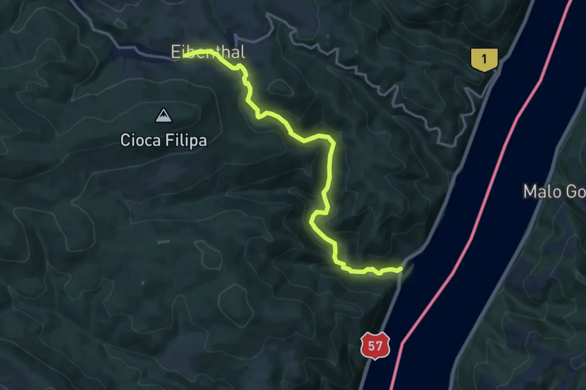
Medium · Trail
Tișovița
11.7 km · ↑ 522 m · 3 h 54 min · 9 km away
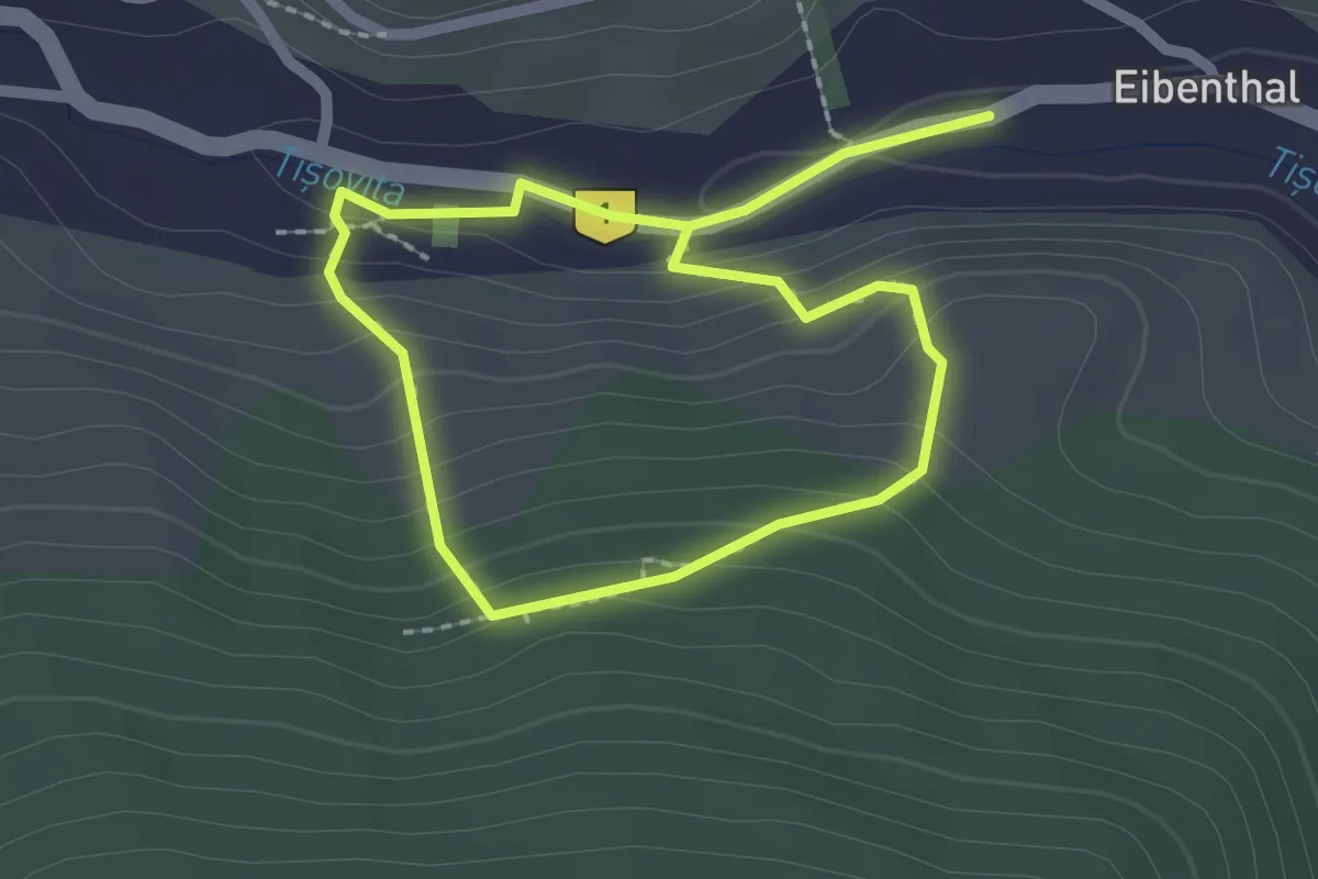
Medium · Trail
NS Chromové štoly
3.5 km · ↑ 215 m · 1 h 18 min · 9 km away
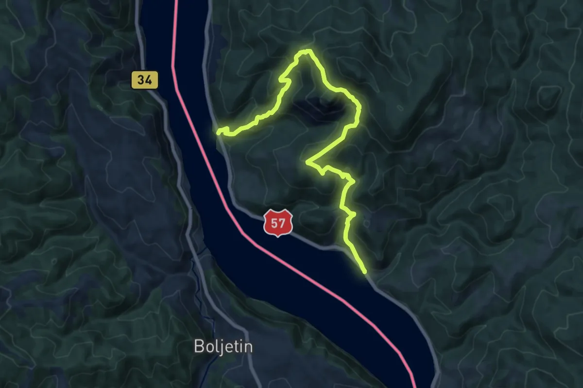
Demanding · Trail
Traseul ecoturistic Trescovăț
15.7 km · ↑ 1136 m · 6 h 11 min · 11 km away
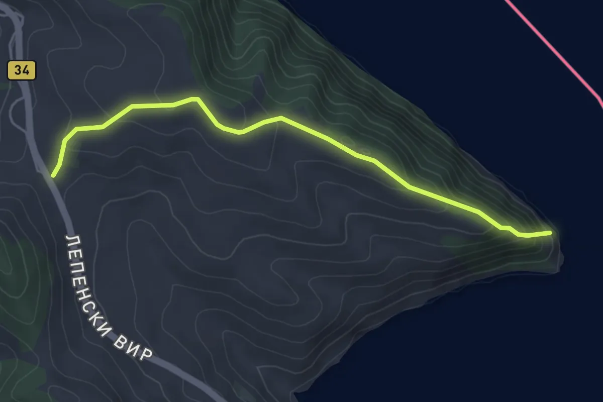
Easy · Trail
Гребен
4.8 km · ↑ 268 m · 1 h 42 min · 11 km away
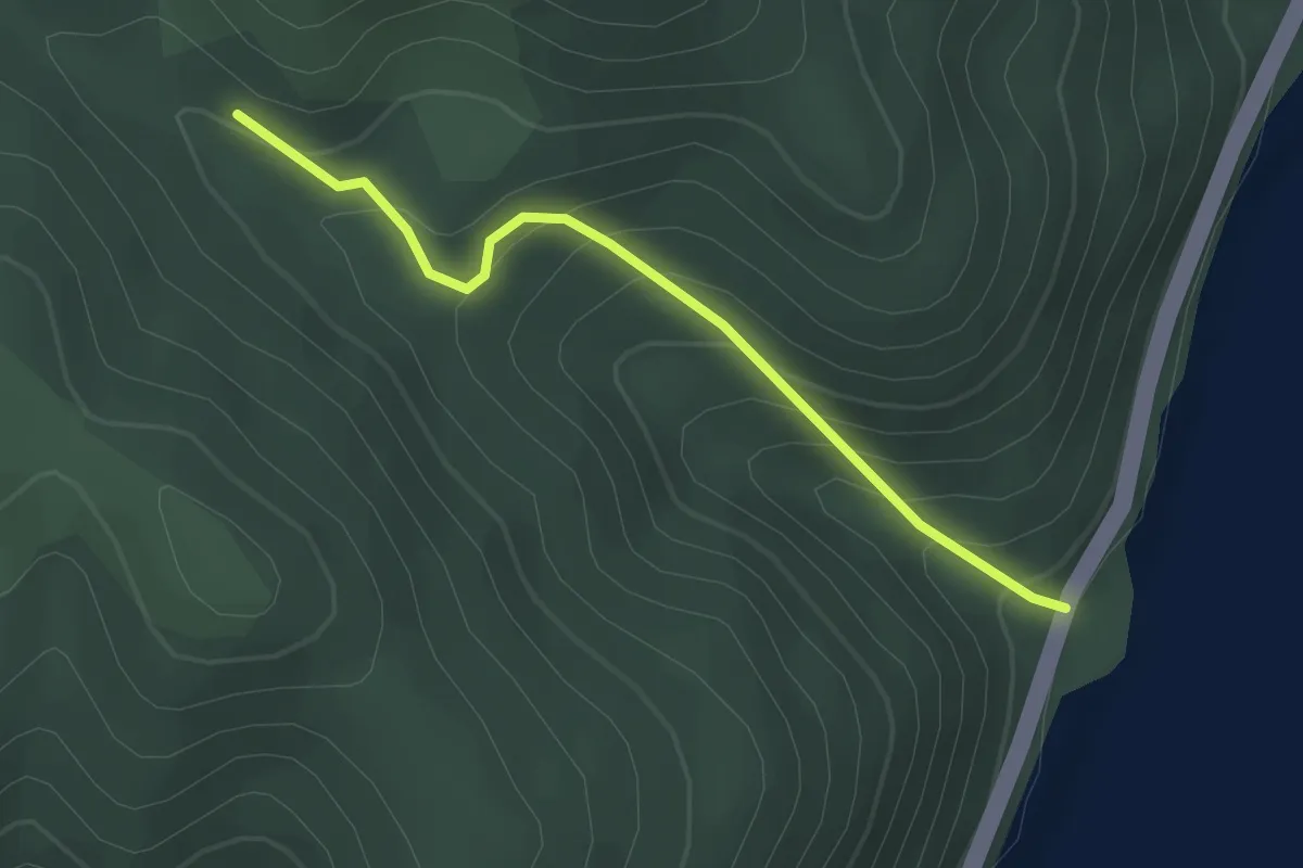
Easy · Trail
Traseul ecoturistic Cioaca Cremeneasca – Rudina
2.6 km · ↑ 219 m · 1 h 5 min · 11 km away
Easy · Trail
Traseul ecoturistic Liubotina
2.6 km · ↑ 219 m · 1 h 5 min · 11 km away
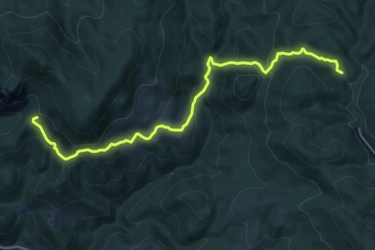
Medium · Trail
Ujbányje:Traskavec
13.2 km · ↑ 737 m · 4 h 42 min · 12 km away
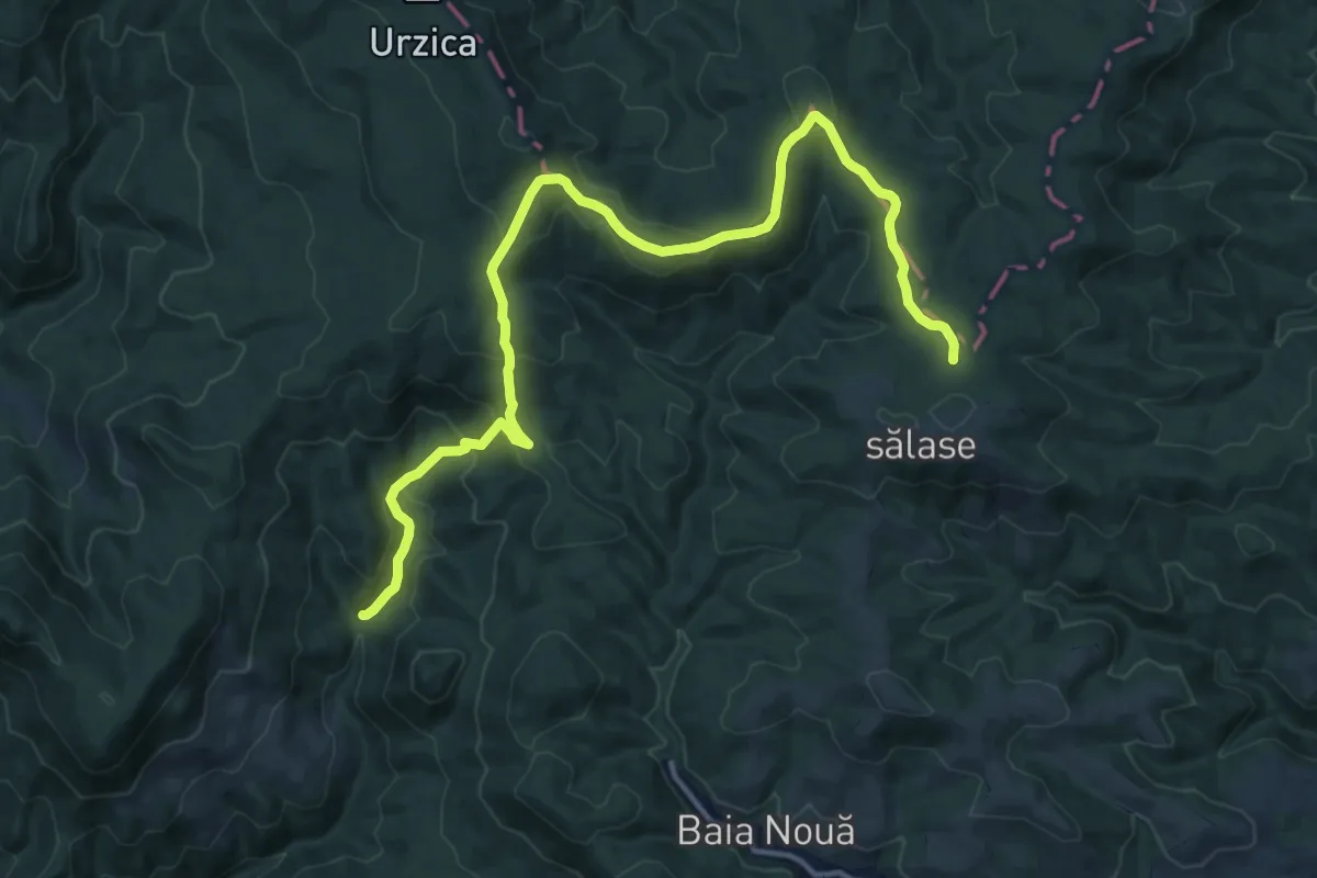
Demanding · Trail
Blue - Znamana
18.5 km · ↑ 834 m · 6 h 11 min · 14 km away
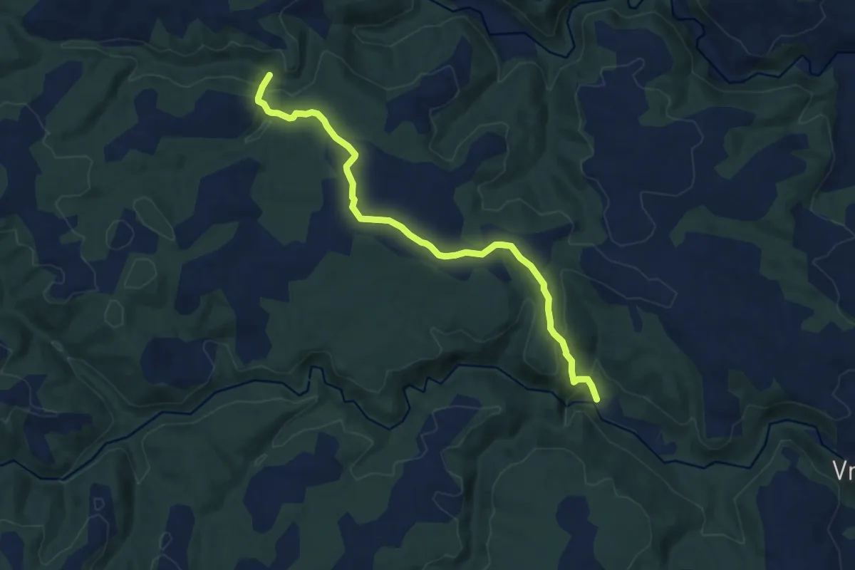
Medium · Trail
Manastir – Kraku Bogdan – Trailov šot – Biger
10.4 km · ↑ 334 m · 3 h 11 min · 14 km away
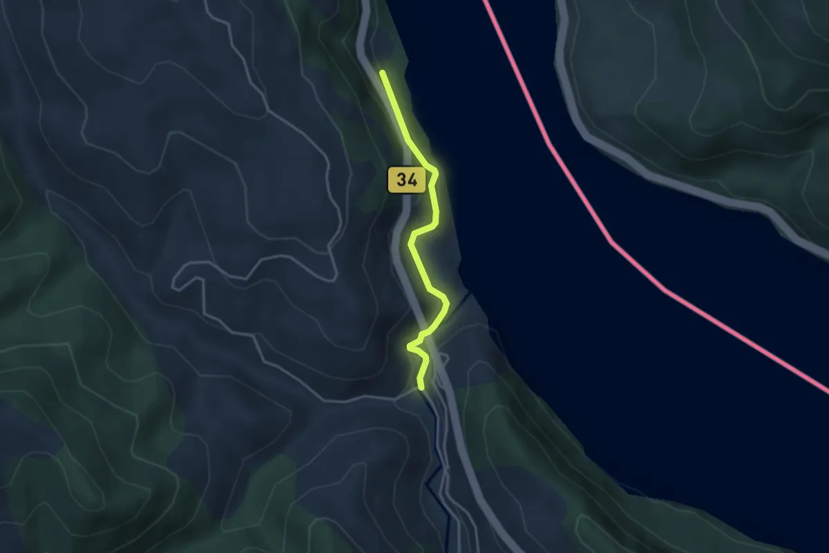
Easy · Trail
Кањон Бољетинске реке
3.1 km · ↑ 153 m · 1 h 4 min · 14 km away