Trails near Bled
99 hikes starting within 15 km, nearest first.
Nearest first, page 2 of 3
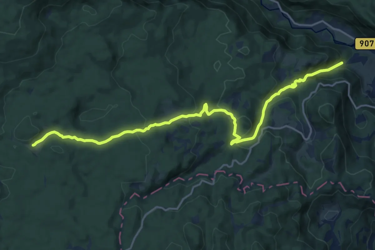
Medium · Trail
Krnica - Pl. Kranjska dolina
14.6 km · ↑ 669 m · 4 h 54 min · 10 km away
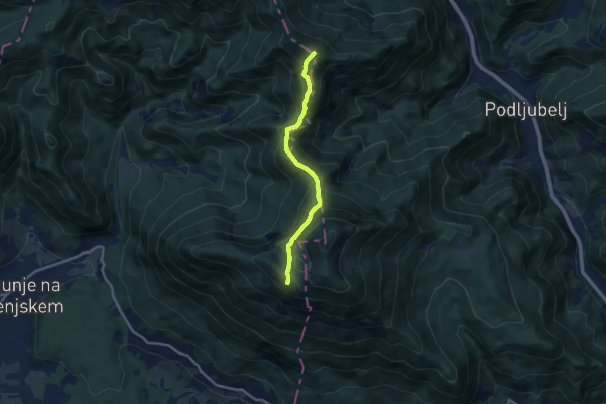
Demanding · Summit
Via Alpina Purple A6
7.2 km · ↑ 585 m · 2 h 58 min · 10 km away
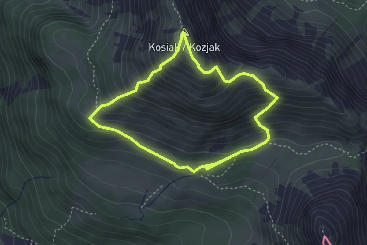
Medium · Summit
Friedrich-Zopp-Weg
2.9 km · ↑ 357 m · 1 h 31 min · 11 km away
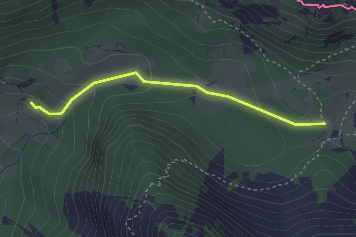
Medium · Trail
Slovenska geološka pot
2.5 km · ↑ 112 m · 50 min · 11 km away
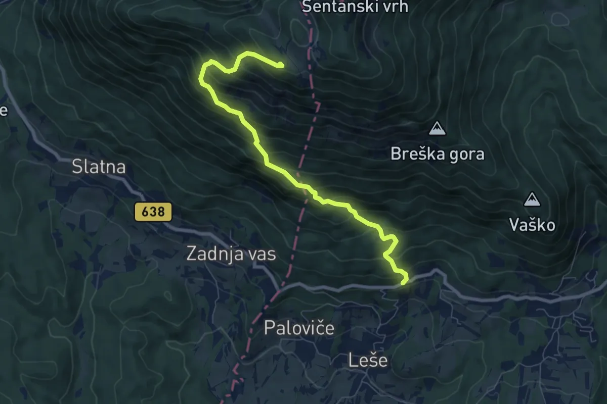
Demanding · Cabin
Hudi Graben - Koča na Dobrči
7.4 km · ↑ 840 m · 3 h 34 min · 11 km away
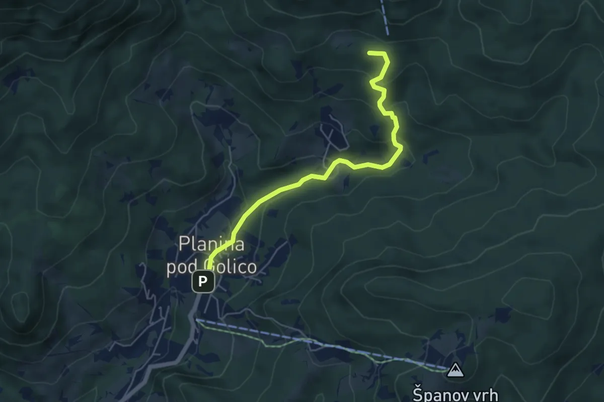
Medium · Summit
Pl. pod Golico - Koča na Golici
5.0 km · ↑ 257 m · 1 h 44 min · 12 km away
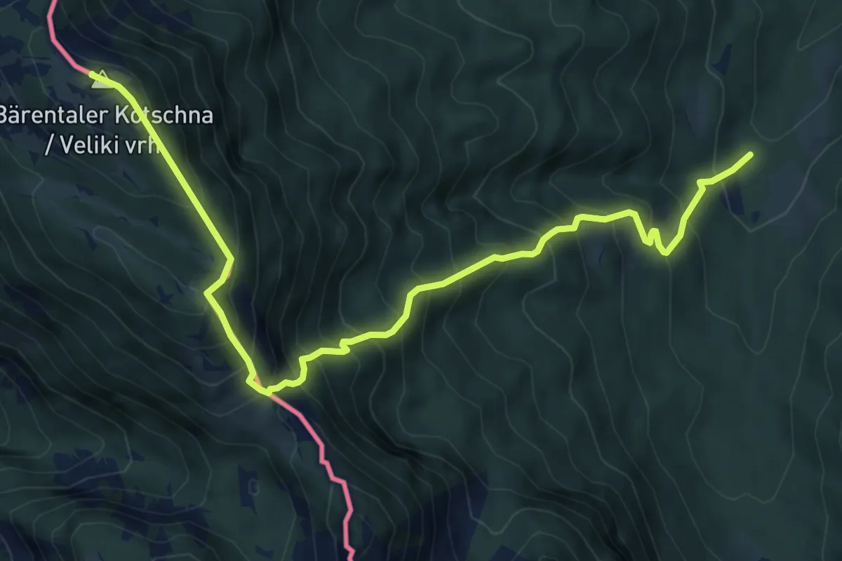
Demanding · Summit
Bärentaler Kotschna
8.5 km · ↑ 1087 m · 4 h 22 min · 12 km away
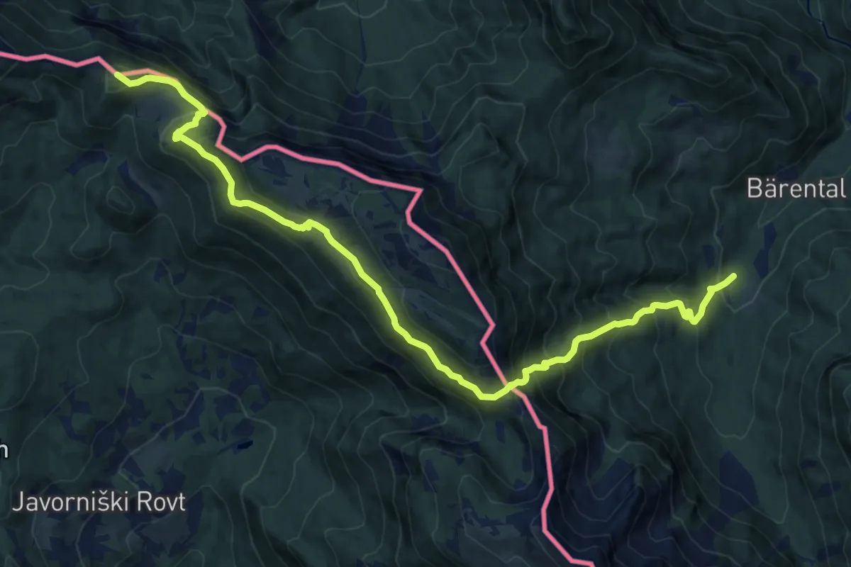
Demanding · Summit
Südalpenweg 03A
15.8 km · ↑ 1348 m · 6 h 39 min · 12 km away
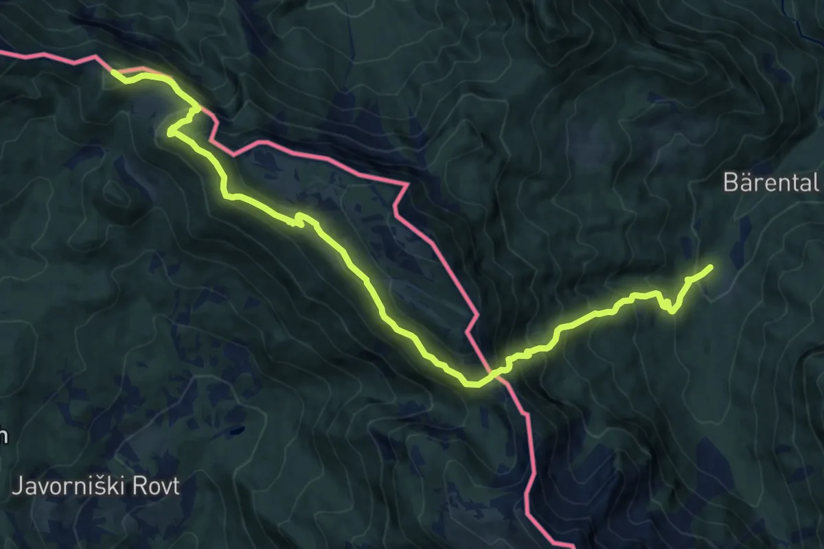
Demanding · Summit
Wanderweg 603A
16.0 km · ↑ 1342 m · 6 h 41 min · 12 km away
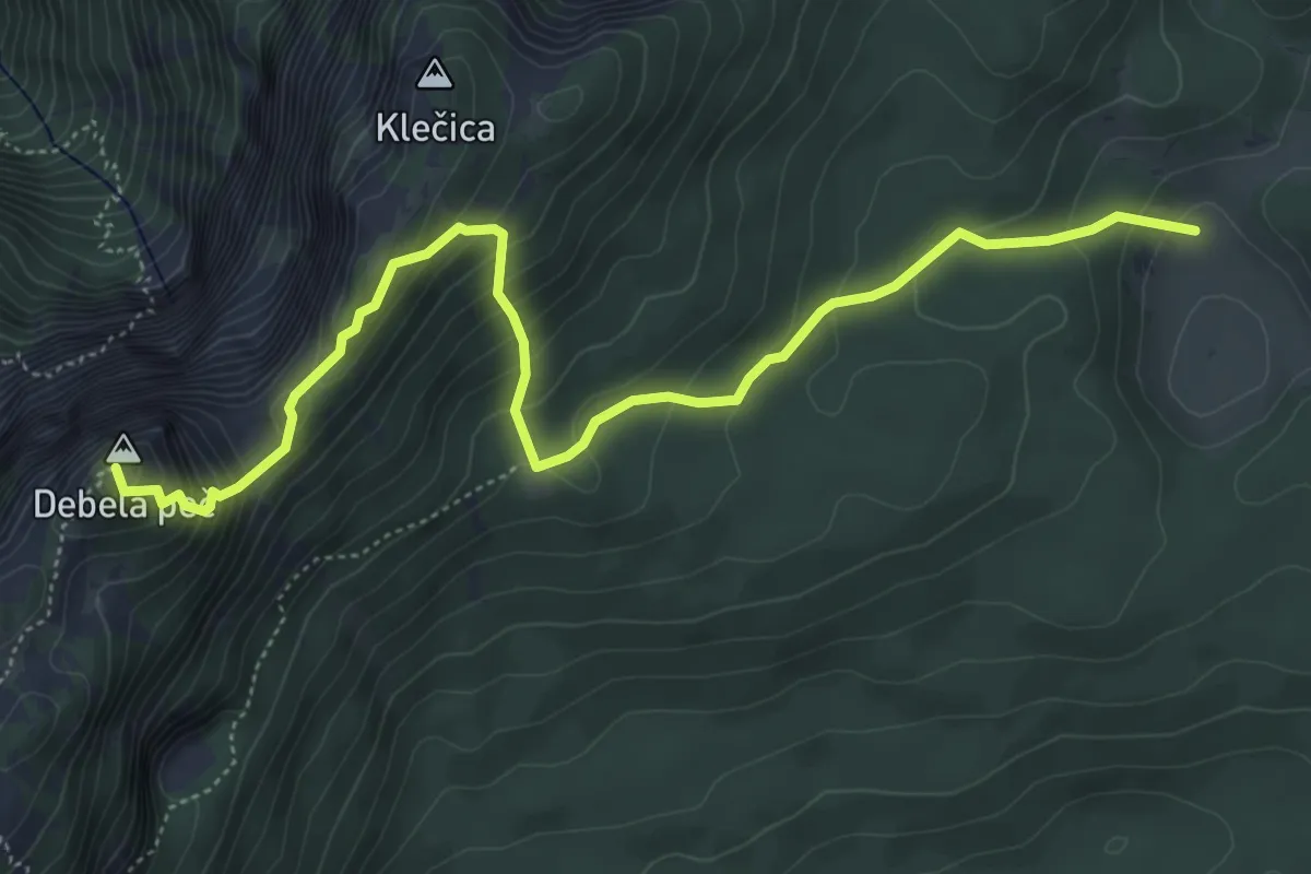
Demanding · Summit
Pl. Klek - Klečica - Debela peč
6.1 km · ↑ 564 m · 2 h 40 min · 12 km away
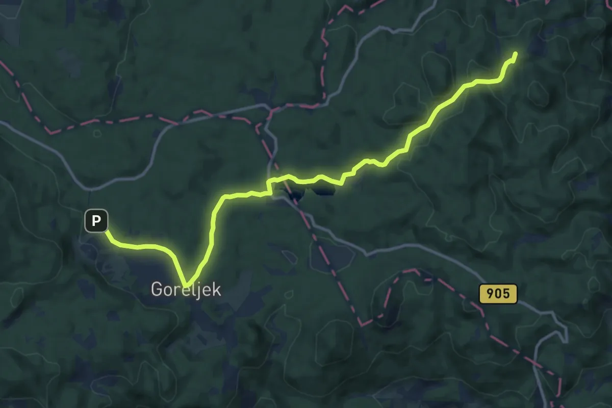
Medium · Summit
Zaka - Šport hotel Pokljuka
13.0 km · ↑ 406 m · 3 h 57 min · 12 km away
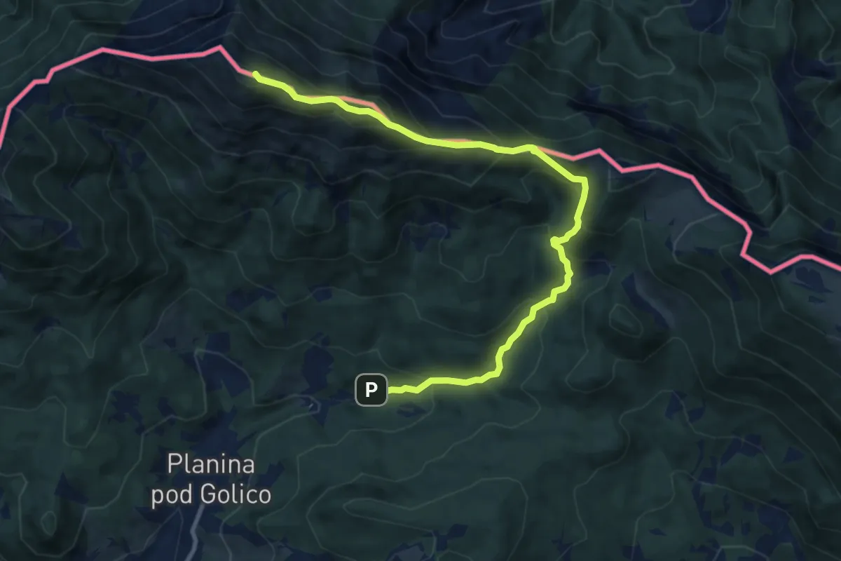
Demanding · Summit
Korlnov rov - Sedlo Suha - Golica
10.6 km · ↑ 1213 m · 5 h 7 min · 12 km away
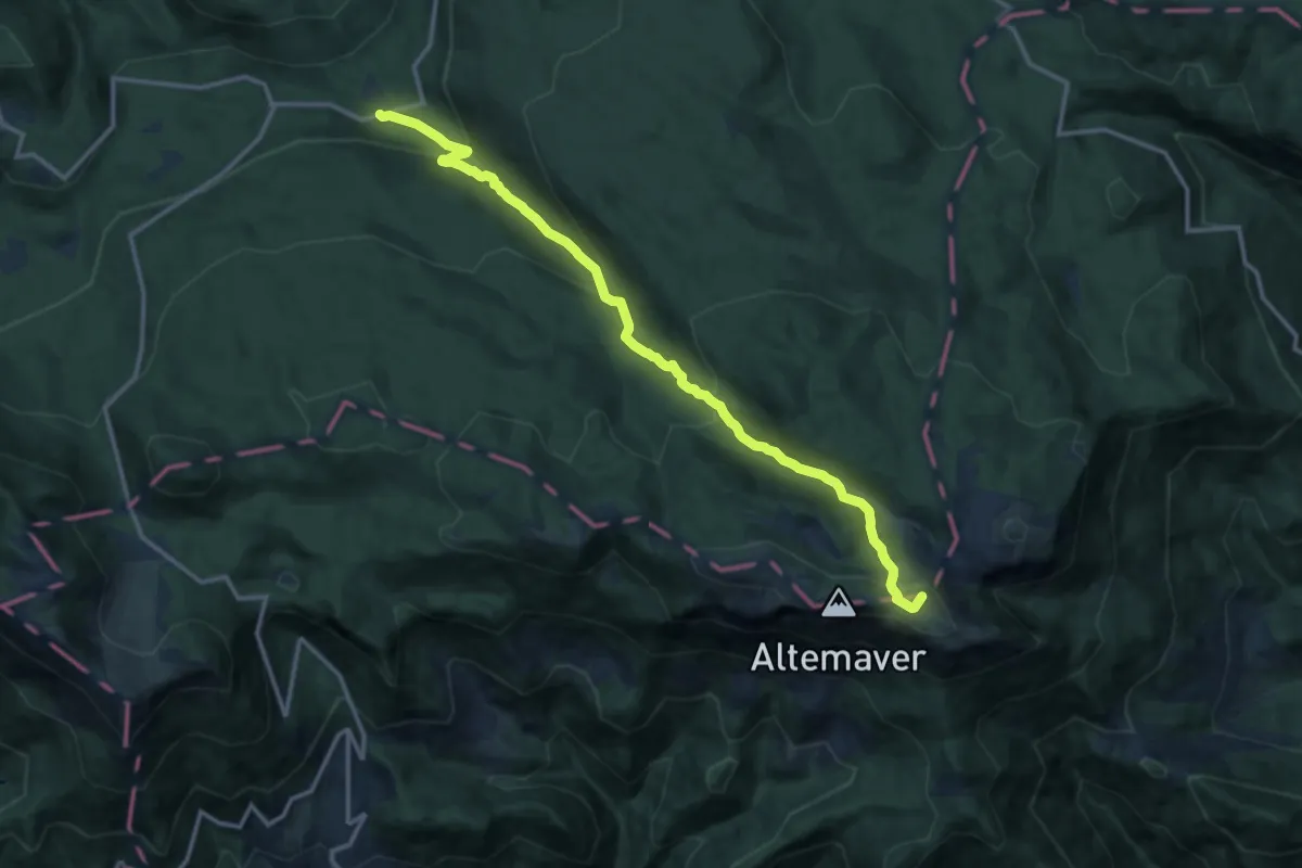
Medium · Summit
Bitenjska pl. - Ratitovec
14.1 km · ↑ 732 m · 4 h 55 min · 12 km away
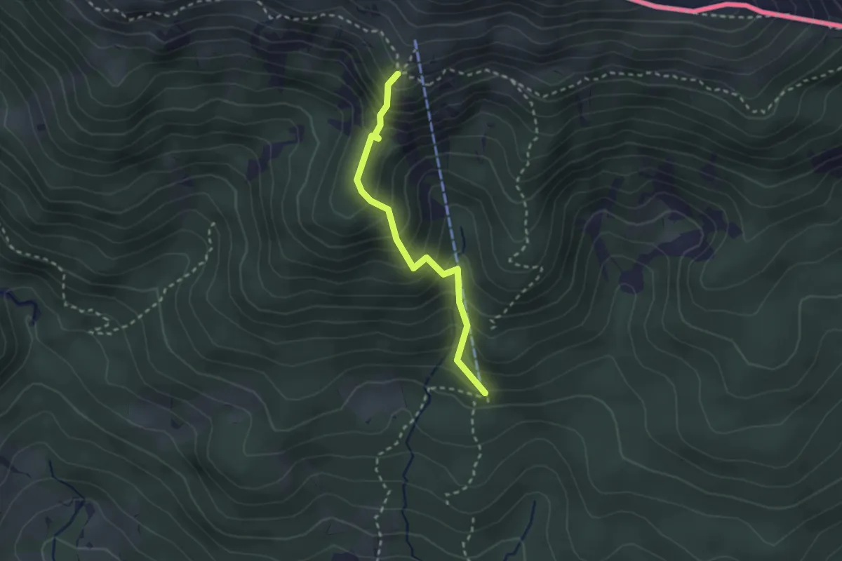
Demanding · Cabin
Zimska pot
2.3 km · ↑ 325 m · 1 h 15 min · 13 km away
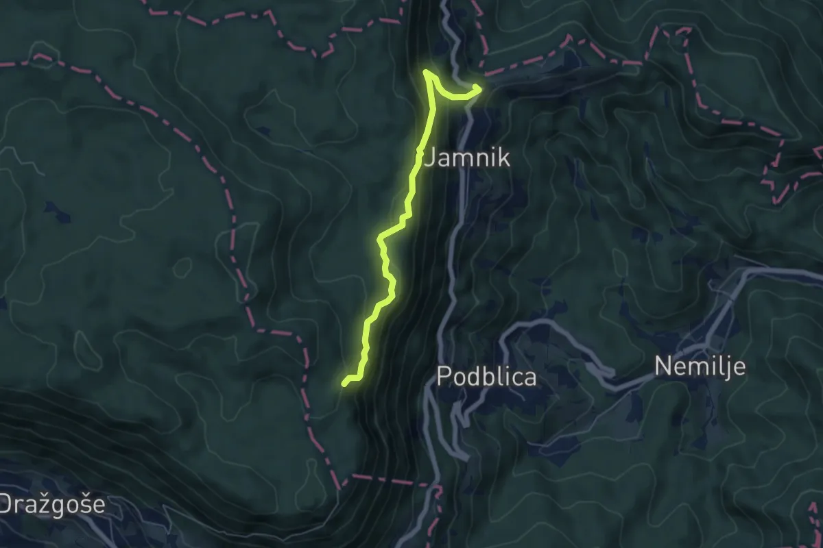
Medium · Summit
Jamnik - Bela peč
5.1 km · ↑ 339 m · 1 h 56 min · 13 km away
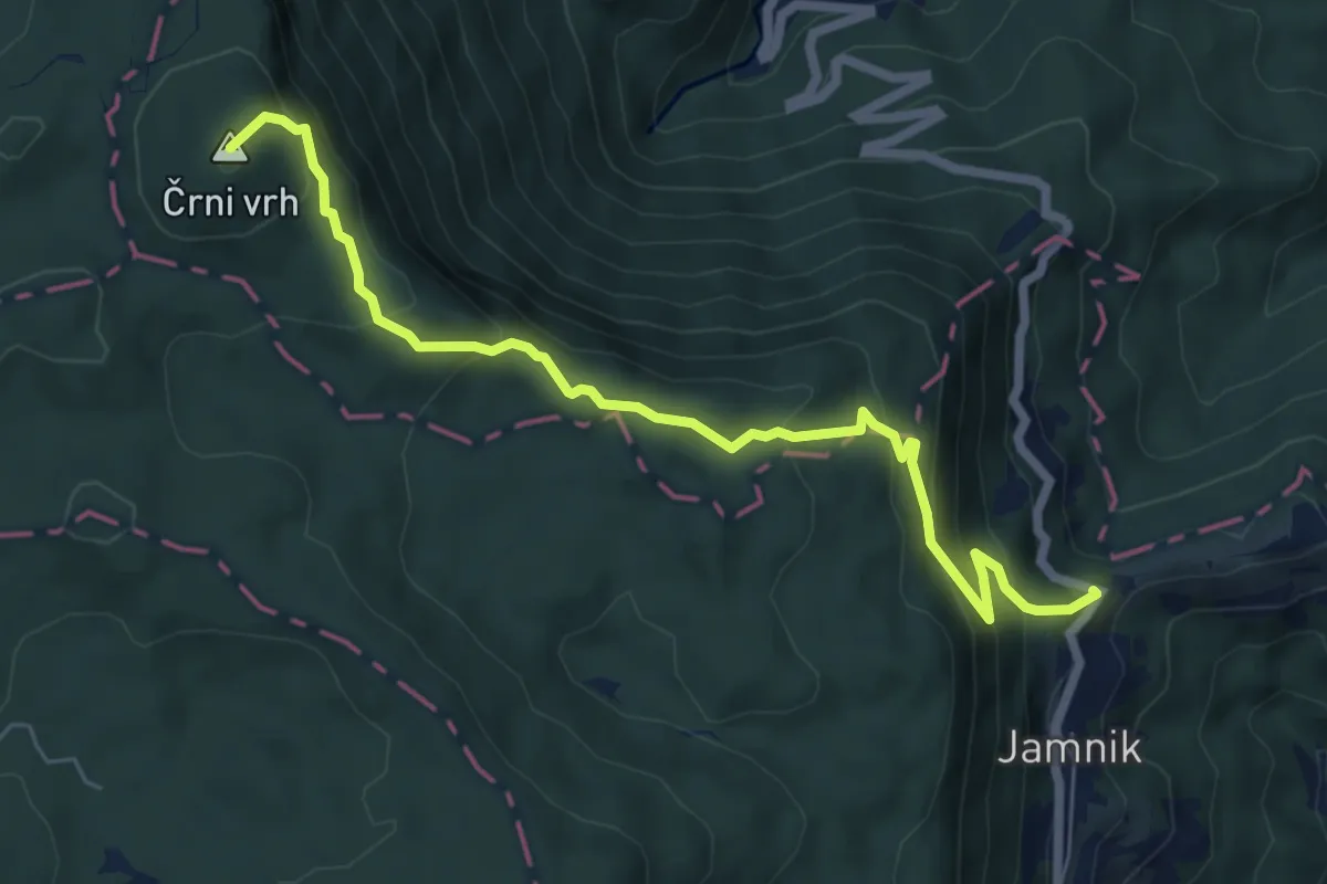
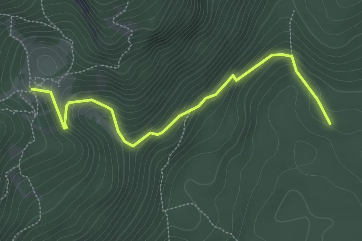
Medium · Summit
Jamnik - Vodiška pl.
7.0 km · ↑ 513 m · 2 h 45 min · 13 km away
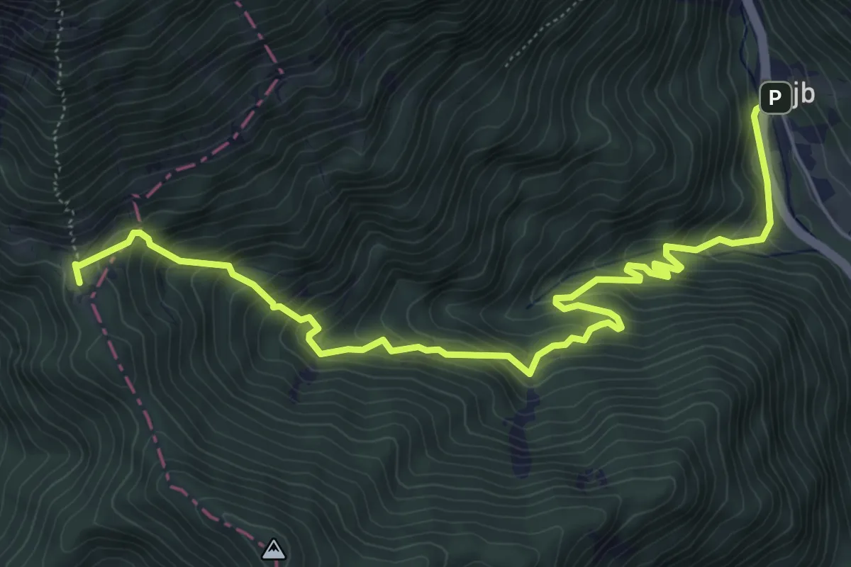
Medium · Cabin
Medvedova konta - Blejska koča
3.2 km · ↑ 208 m · 1 h 13 min · 13 km away
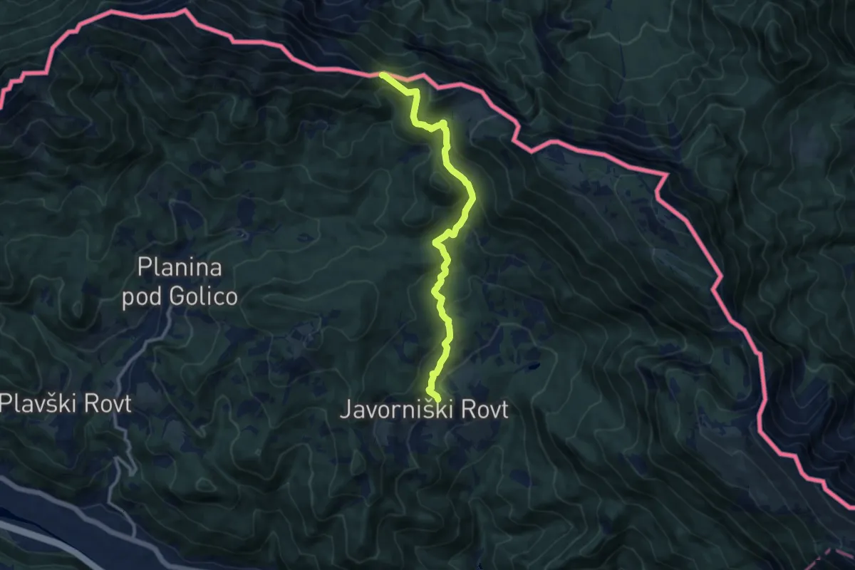
Medium · Cabin
Podljubelj - Koča na Prevalu
7.5 km · ↑ 692 m · 3 h 16 min · 13 km away
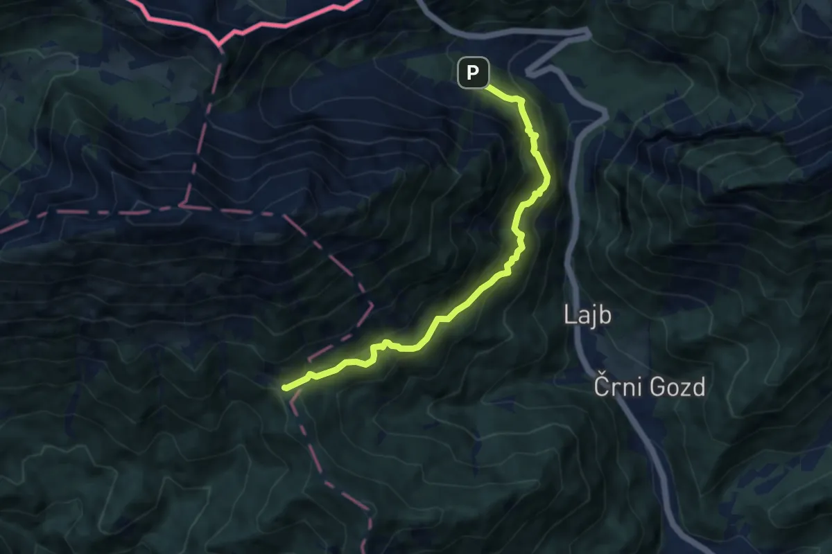
Medium · Trail
Javorniški Rovt - Sedlo Suha
10.0 km · ↑ 622 m · 3 h 43 min · 13 km away
Medium · Cabin
Bornova pot
7.8 km · ↑ 724 m · 3 h 24 min · 13 km away
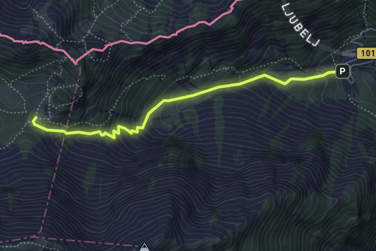
Medium · Cabin
Ljubelj - Dom na Zelenici
4.8 km · ↑ 483 m · 2 h 11 min · 13 km away
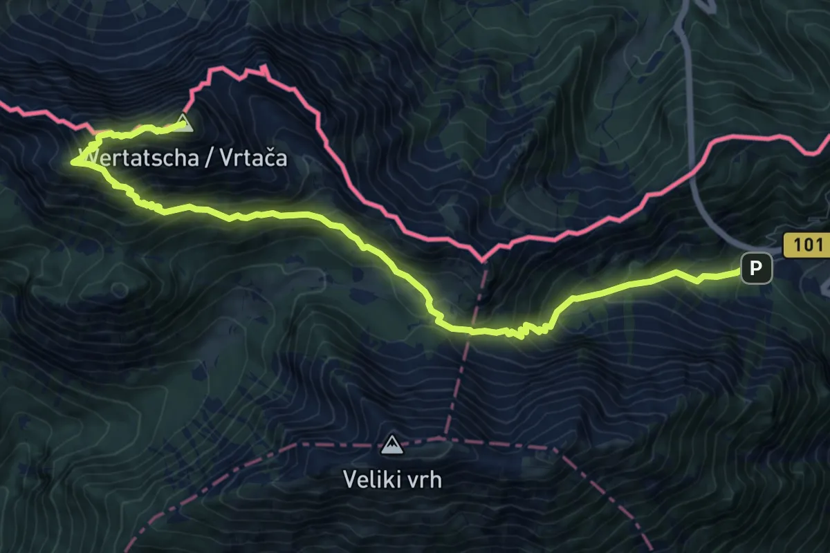
Demanding · Summit
Ljubelj - Vrtača
12.3 km · ↑ 1193 m · 5 h 30 min · 13 km away
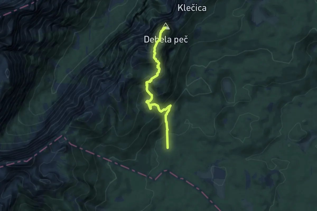
Medium · Summit
Pri Rupah - Debela peč
8.5 km · ↑ 647 m · 3 h 24 min · 14 km away
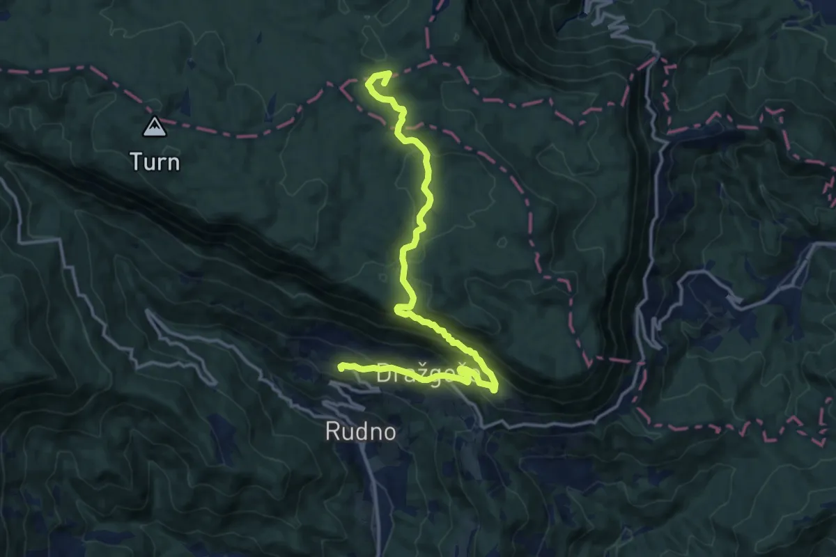
Medium · Summit
124 ~ Pot kurirjev in vezistov NOV Slovenije
14.1 km · ↑ 663 m · 4 h 46 min · 14 km away
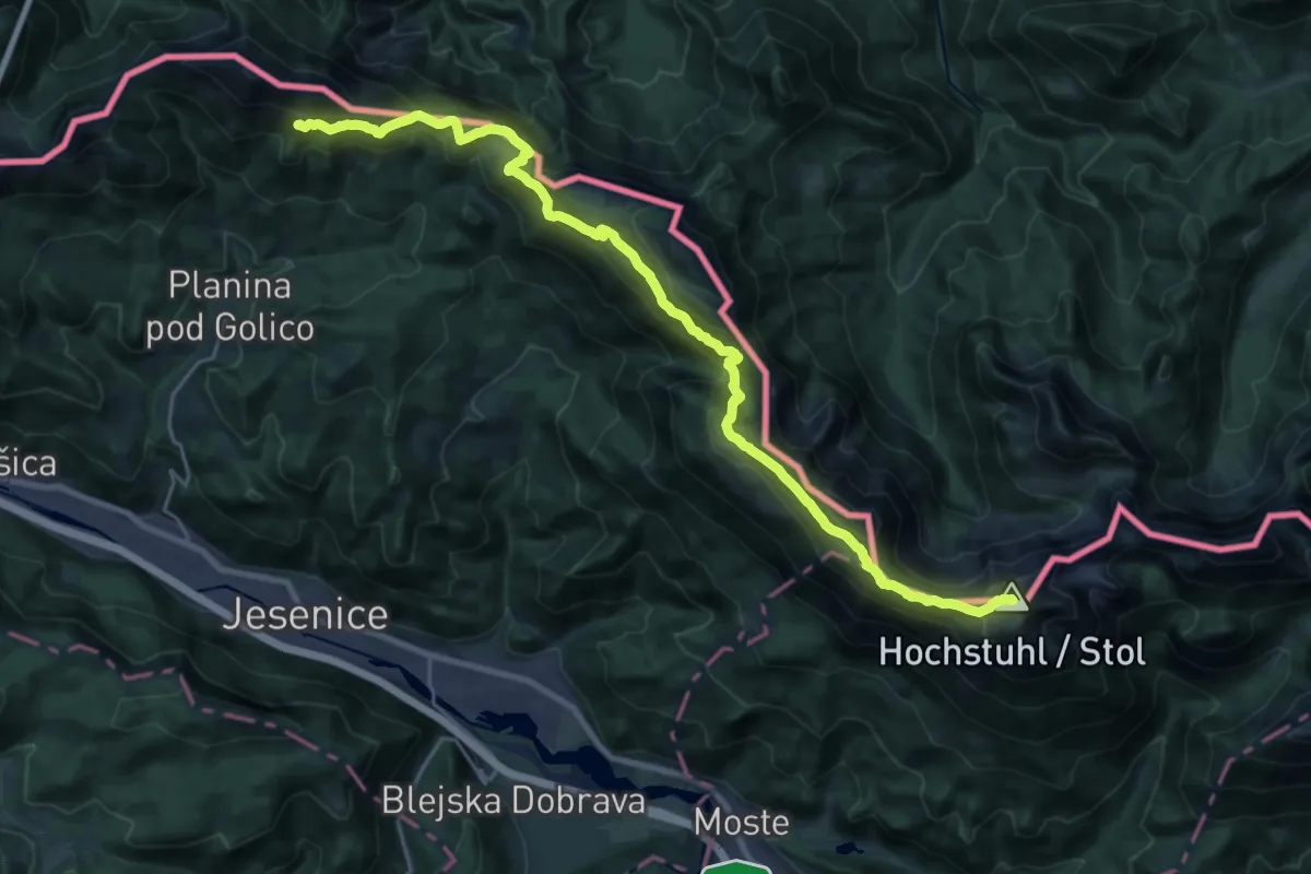
Expert · Summit
Panoramaweg Südalpen 05
26.7 km · ↑ 1725 m · 10 h 3 min · 14 km away
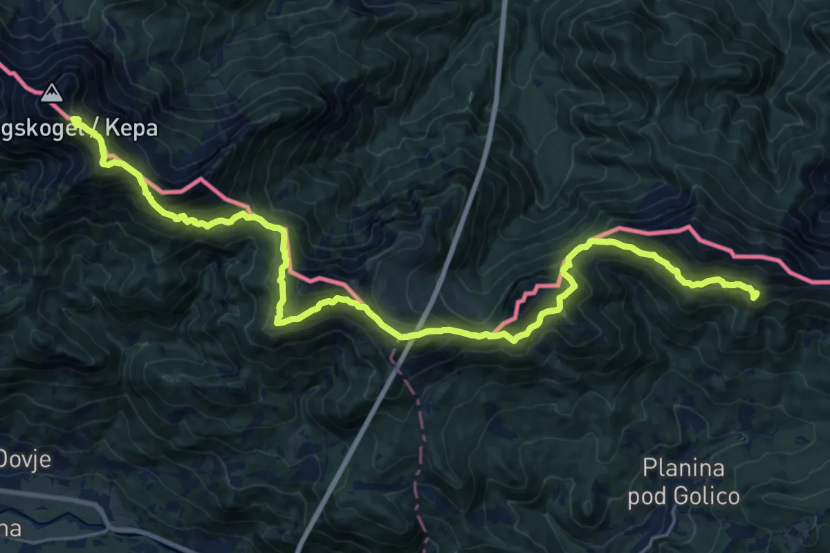
Demanding · Summit
Panoramaweg Südalpen 04
24.1 km · ↑ 1637 m · 9 h 14 min · 14 km away
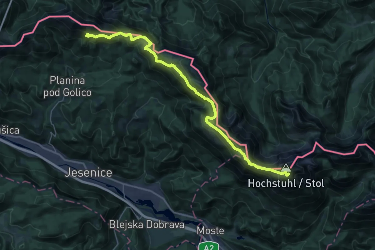
Demanding · Summit
Via Alpina Purple A4
27.4 km · ↑ 1636 m · 10 h 1 min · 14 km away
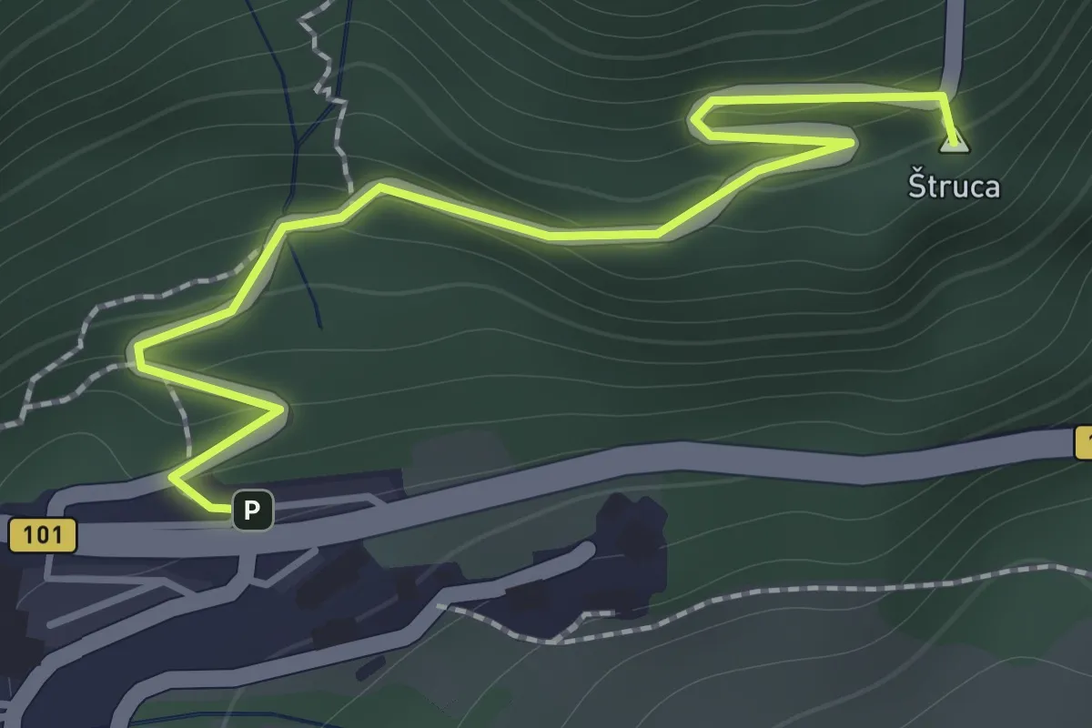
Easy · Summit
Ljubelj - Koča na Ljubelju
1.6 km · ↑ 147 m · 41 min · 14 km away
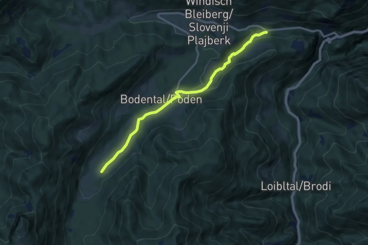
Medium · Trail
"Märchenhafte Augenblicke" Runde
8.1 km · ↑ 209 m · 2 h 22 min · 14 km away
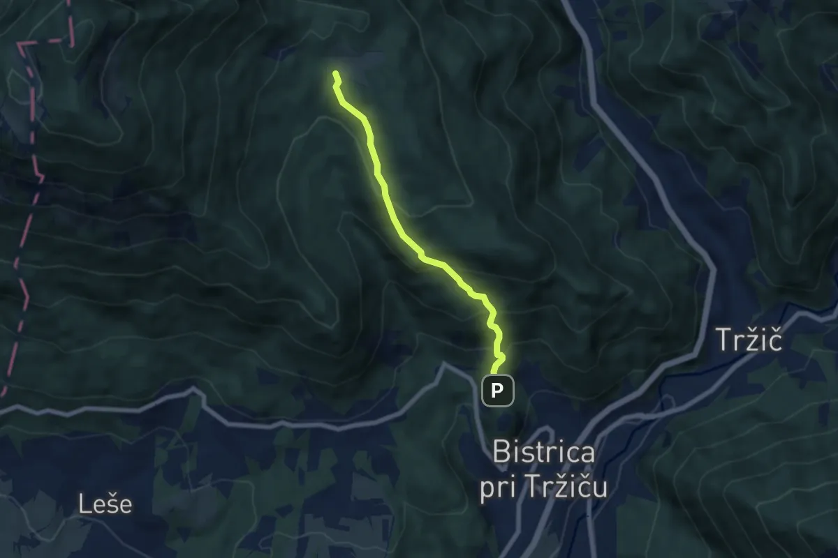
Medium · Trail
Sv. Jurij - Bistriška planina
5.2 km · ↑ 408 m · 2 h 6 min · 14 km away
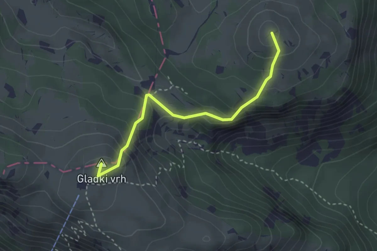
Medium · Summit
Krekova koča - Kosmati vrh
2.8 km · ↑ 264 m · 1 h 13 min · 14 km away
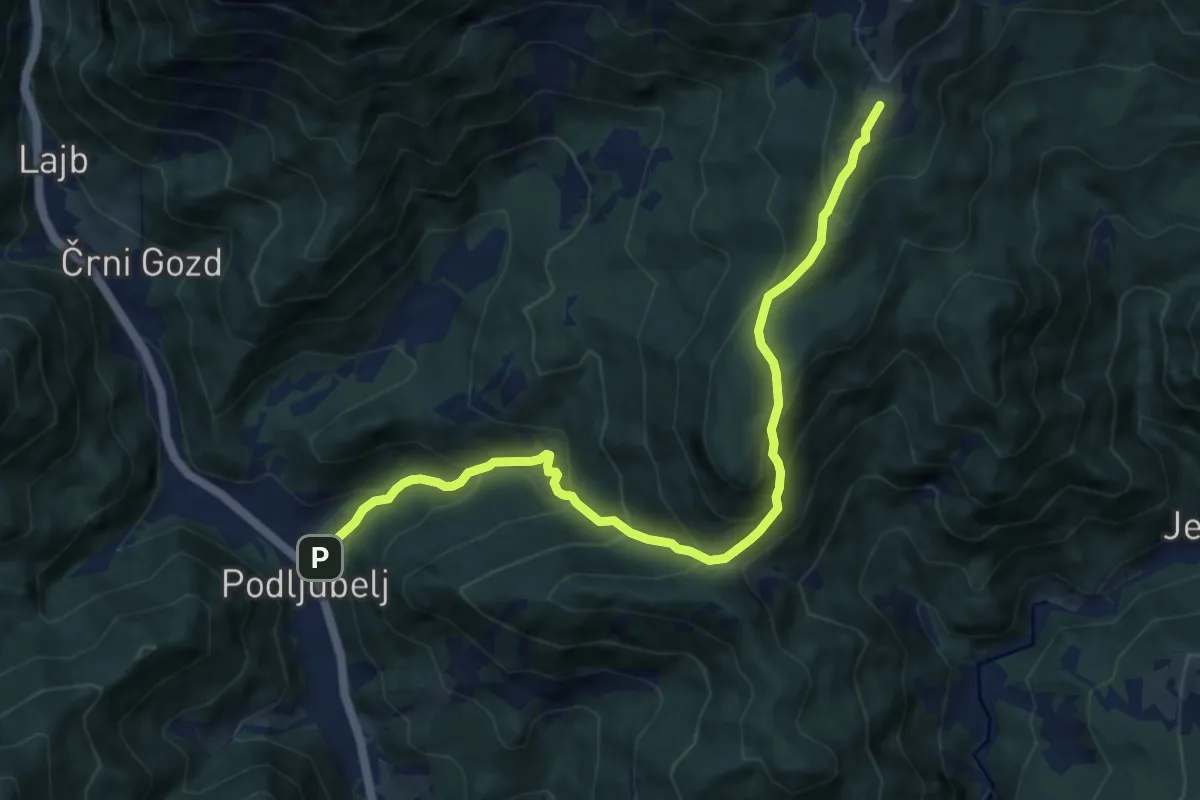
Demanding · Cabin
Podljubelj - Kal - Kofce
10.2 km · ↑ 865 m · 4 h 17 min · 14 km away
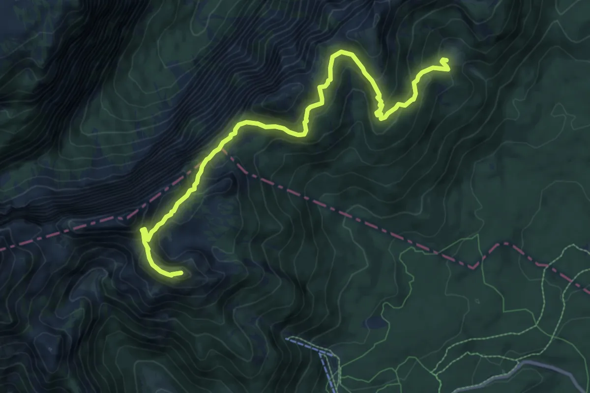
Medium · Summit
Blejska koča - Viševnik
10.6 km · ↑ 767 m · 4 h 9 min · 14 km away
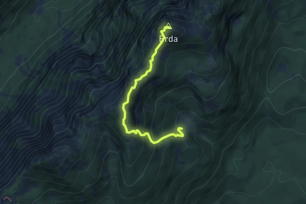
Expert · Summit
Blejska koča - Mrežce - Lipanski vrh - Brda
4.8 km · ↑ 462 m · 2 h 7 min · 14 km away
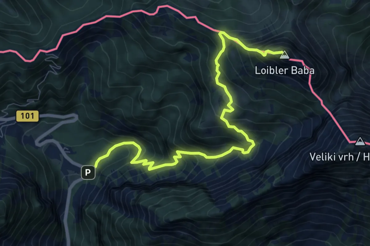
Demanding · Summit
Vranček - Pl. Korošica - Košutica
10.1 km · ↑ 1119 m · 4 h 49 min · 14 km away
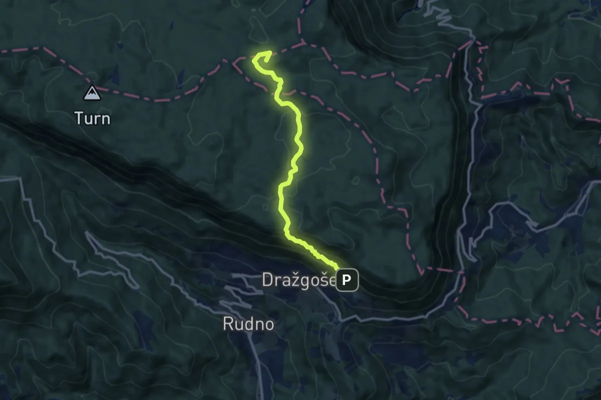
Medium · Summit
Dražgoše - Vodiška pl.
9.1 km · ↑ 397 m · 3 h 1 min · 14 km away
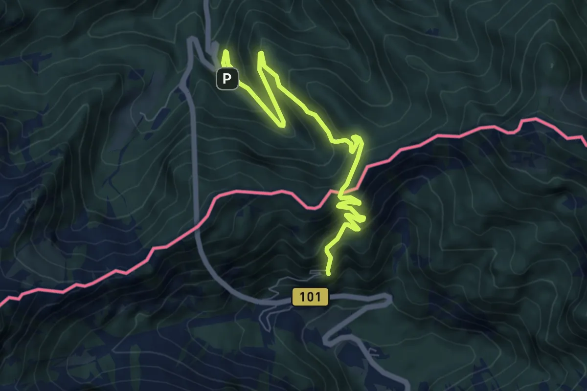
Medium · Summit
Hemmaweg SvAna-Gurk
4.1 km · ↑ 388 m · 1 h 48 min · 14 km away
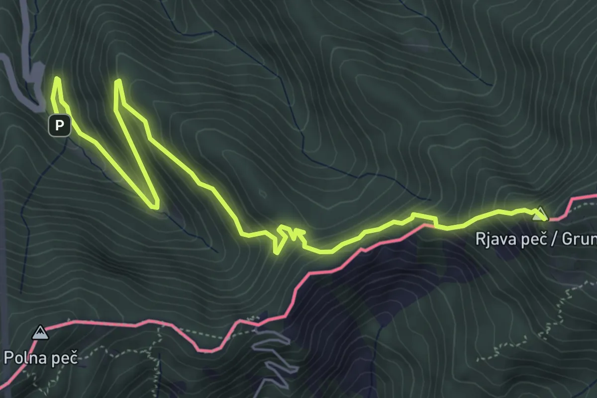
Demanding · Summit
Wanderweg 650
7.3 km · ↑ 582 m · 2 h 59 min · 14 km away
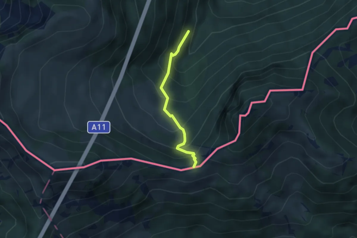
Medium · Trail
Rosenkogel
2.7 km · ↑ 344 m · 1 h 23 min · 14 km away
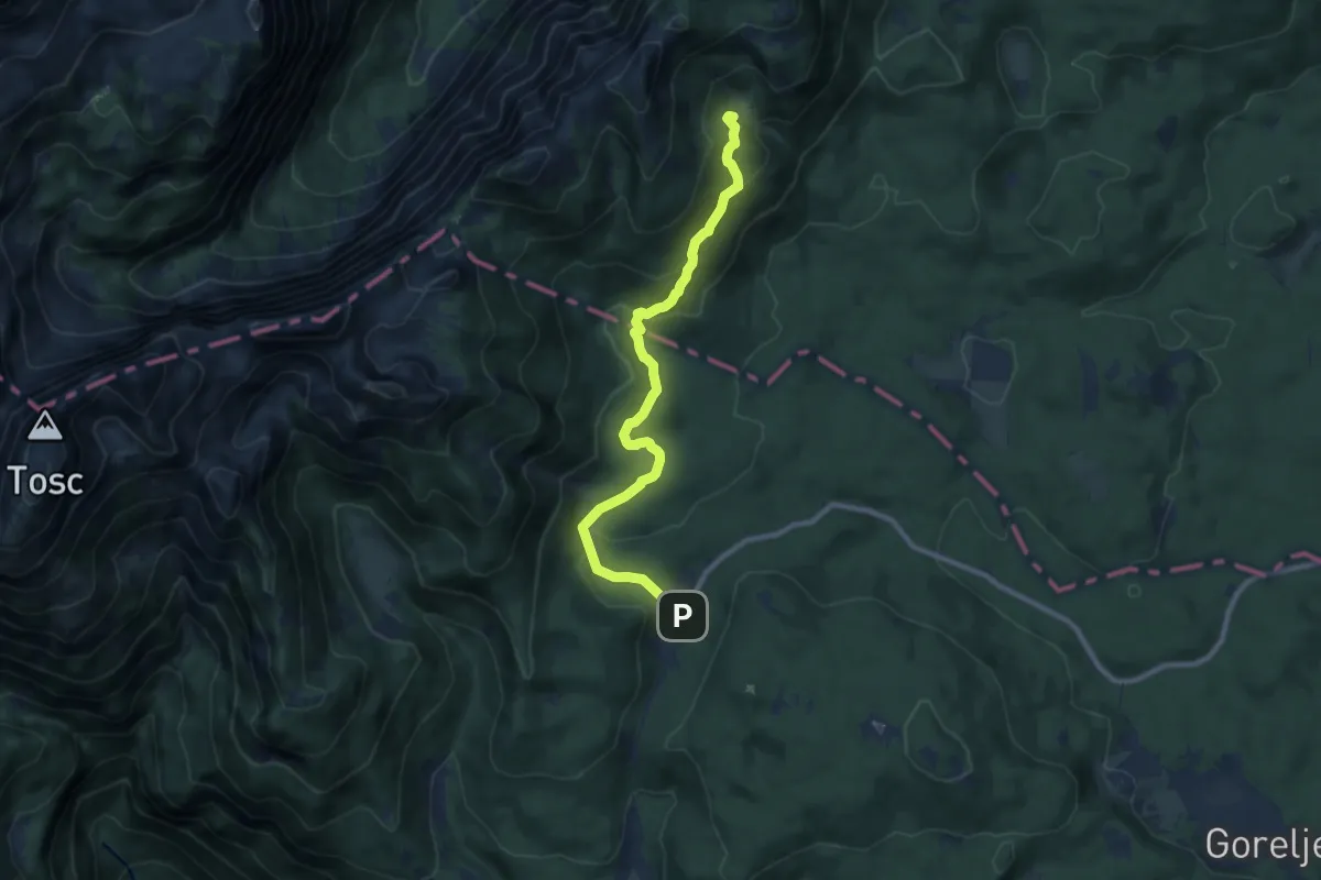
Demanding · Cabin
Rudno polje - Blejska koča
9.5 km · ↑ 478 m · 3 h 17 min · 15 km away
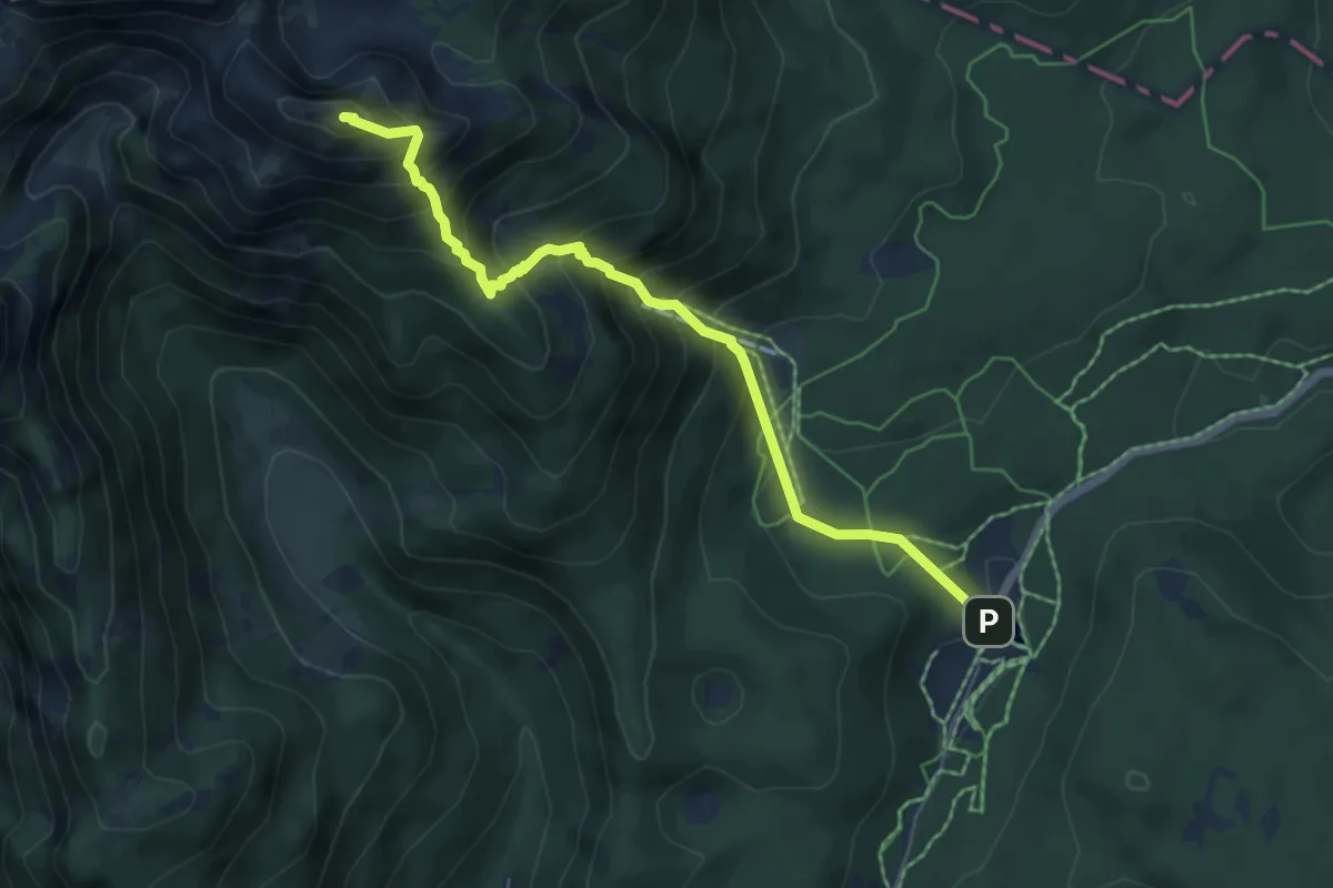
Medium · Summit
Rudno polje - Viševnik
6.0 km · ↑ 675 m · 2 h 53 min · 15 km away
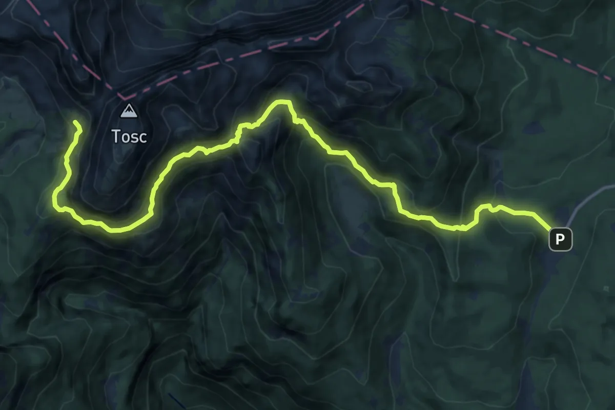
Demanding · Cabin
Rudno polje - Studorski preval - Vodnikov dom
15.6 km · ↑ 1117 m · 6 h 6 min · 15 km away
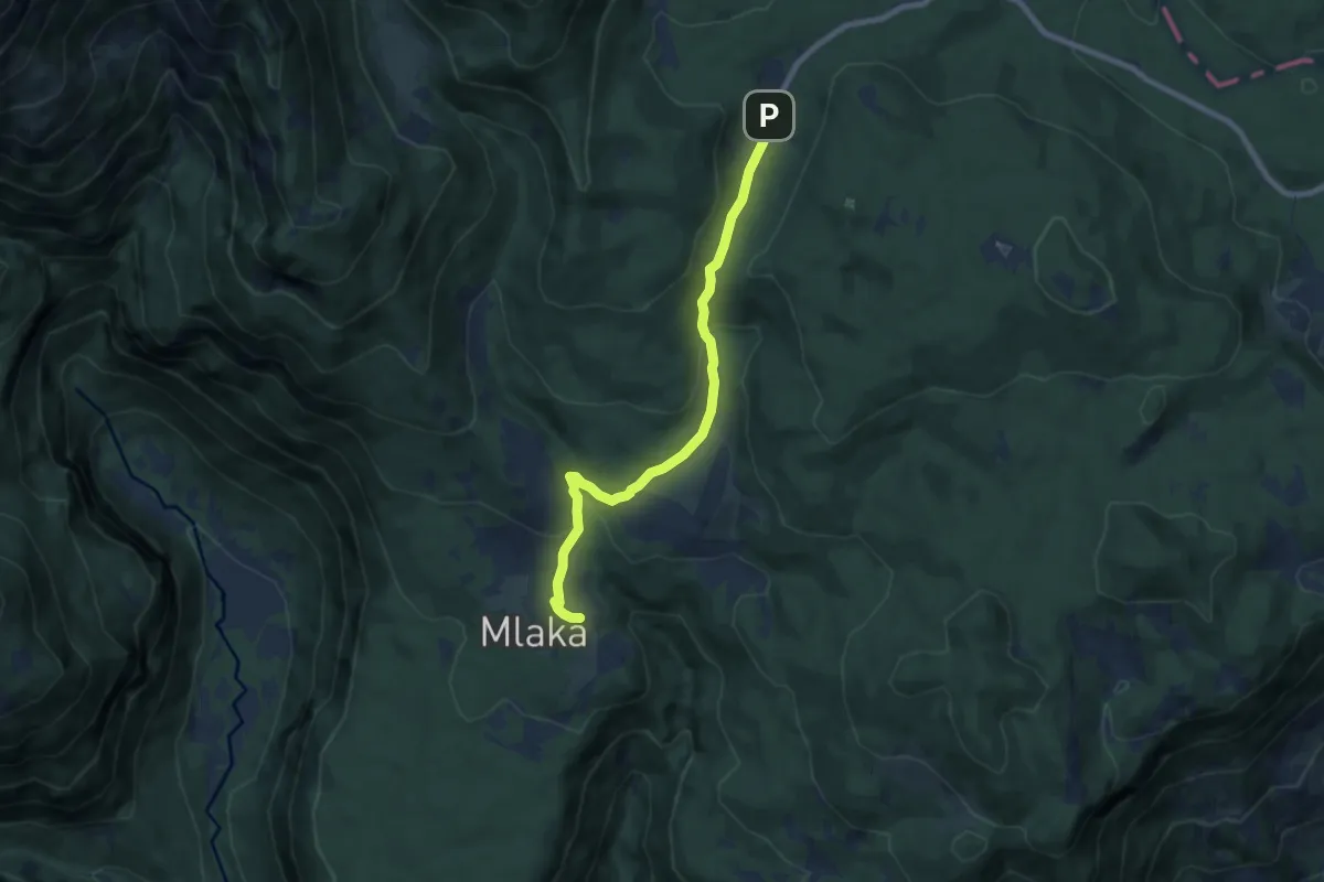
Easy · Cabin
Rudno polje - Uskovnica
7.6 km · ↑ 253 m · 2 h 20 min · 15 km away
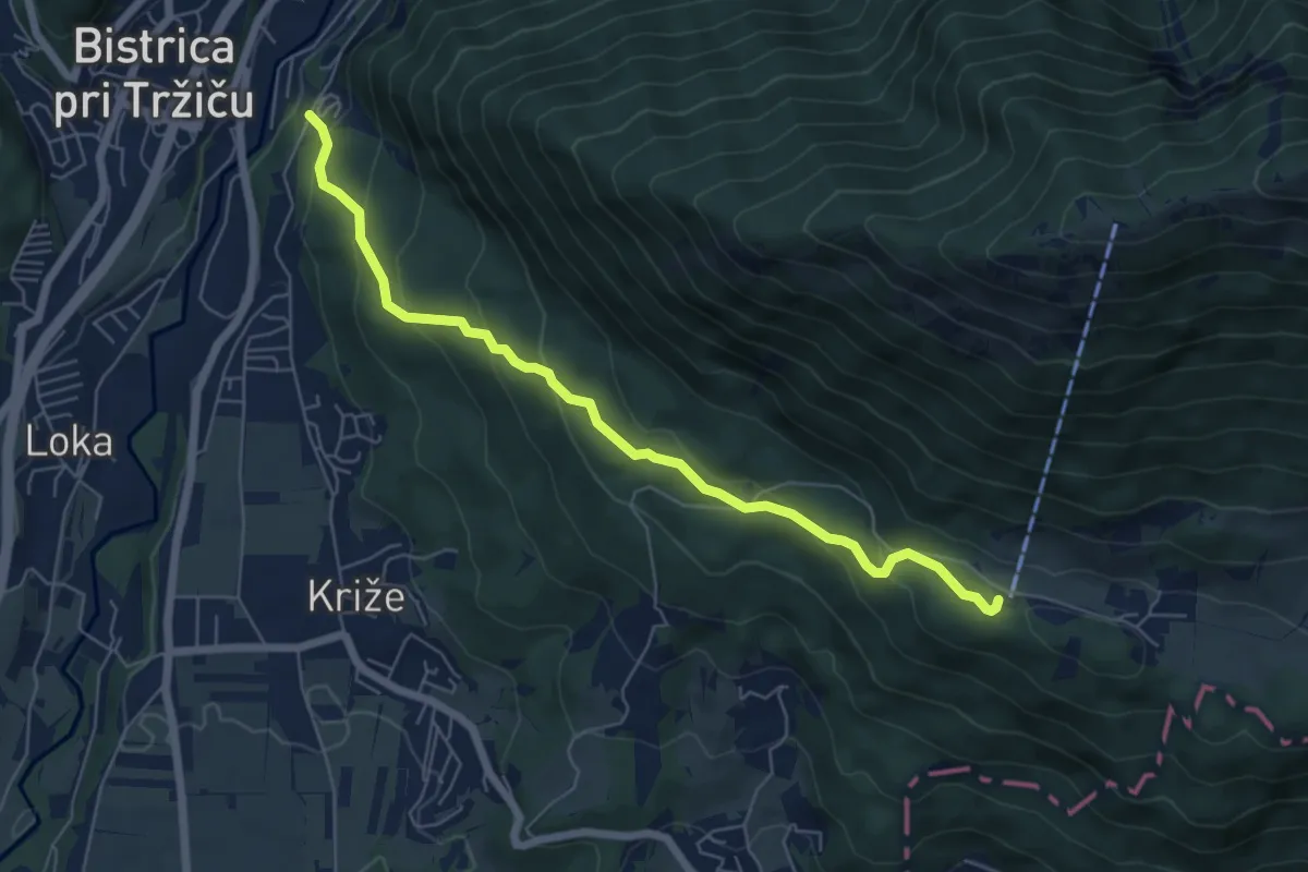
Medium · Cabin
Tržič - Zavetišče v Gozdu
6.3 km · ↑ 371 m · 2 h 18 min · 15 km away
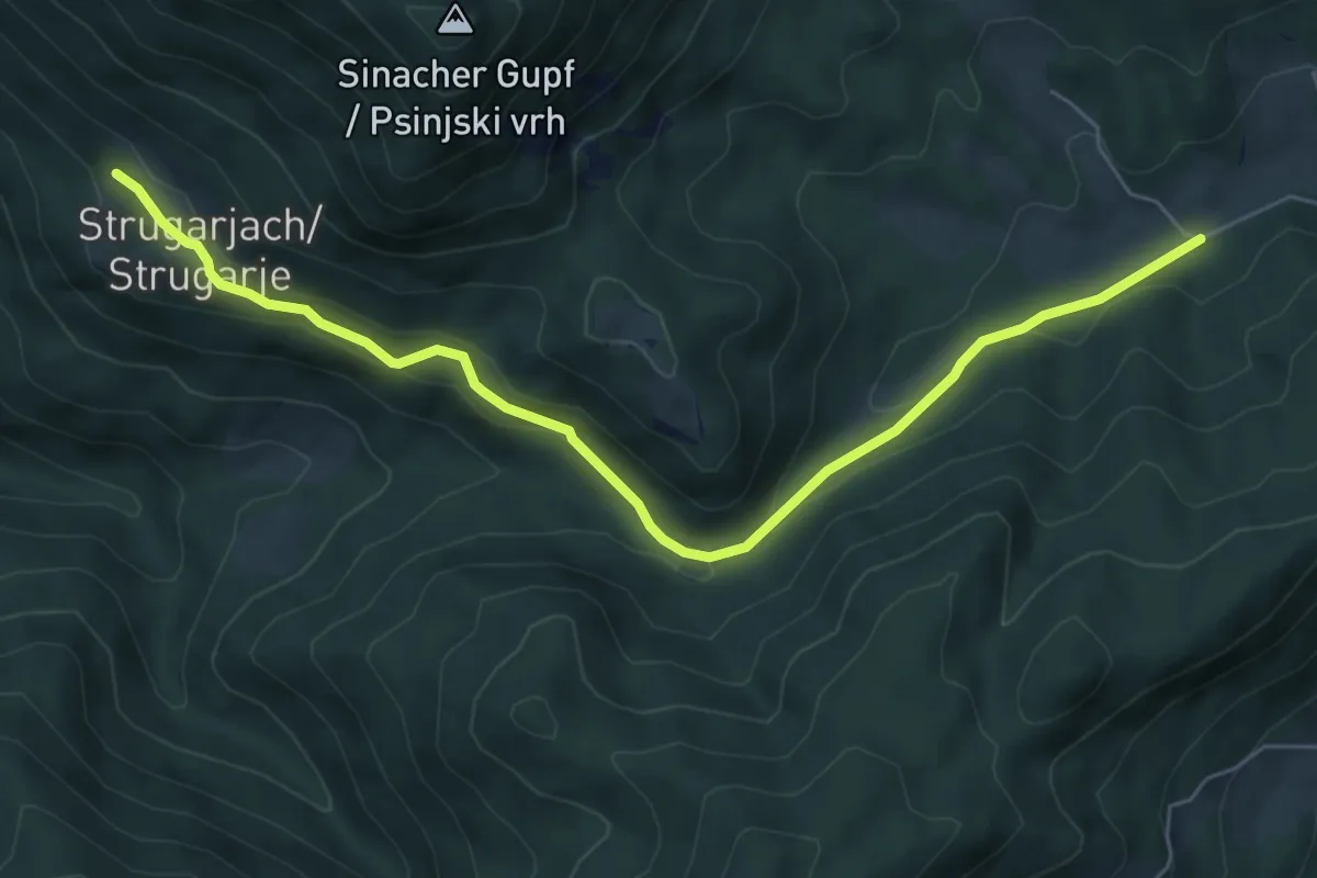
Easy · Trail
Windisch Bleiberg – Strugarjach
6.8 km · ↑ 192 m · 2 h 2 min · 15 km away
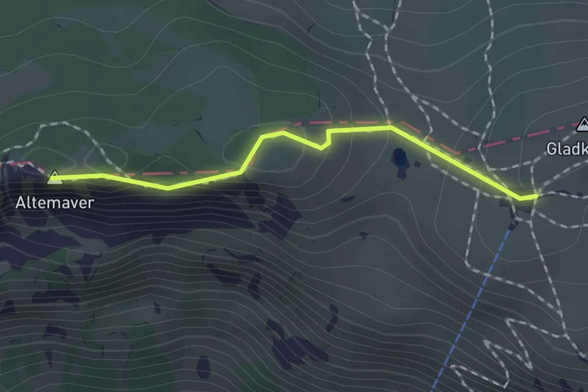
Easy · Summit
Krekova koča - Altemaver - Kremant
1.4 km · ↑ 63 m · 28 min · 15 km away
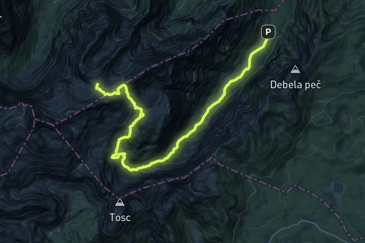
Expert · Cabin
Krma - Staničev dom
11.5 km · ↑ 1549 m · 5 h 30 min · 15 km away
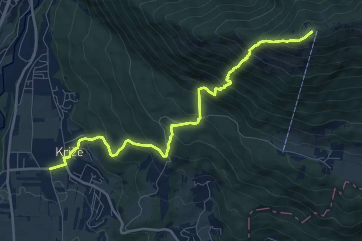
Demanding · Summit
Križe - Zg. Vetrno - Koča na Kriški gori
8.3 km · ↑ 956 m · 4 h 2 min · 15 km away